Étang des Bésines and its refuge
svetloba
Pridobite to turo v svoj mobilni telefon
Étang des Bésines and its refuge
svetloba
Pohodništvo
14.65
km
Skenirajte kodo QR in začnite navigacijo v aplikaciji bergfex.


Pohodništvo in sledenje





Étang des Bésines and its refuge
svetloba
Razdalja
14.65
km
Trajanje
05:00
h
Ascent
694
hm
Morska gladina
1,435 -
2,079
m
Prenos skladbe
Étang des Bésines and its refuge
svetloba
Pohodništvo
14.65
km
Access: This hike starts from the village of l'Hospitalet-près-l'Andorre, 15 km from Ax-les-Thermes in the direction of Andorra.
Pot
L'Hospitalet-près-l'Andorre
(1,429 m)
Vas
0.0 km
Guerboulouse
(1,685 m)
Koridor/teren
1.9 km
Crête du Tos Bessateil
(1,816 m)
Koridor/teren
2.7 km
Jasse Bessateil
(1,779 m)
Koridor/teren
3.1 km
Refuge des Besines
(2,098 m)
Zavetišče
7.3 km
Jasse Bessateil
(1,779 m)
Koridor/teren
11.5 km
L'Hospitalet-près-l'Andorre
(1,429 m)
Vas
14.6 km
Pot
Étang des Bésines and its refuge
svetloba
Pohodništvo
14.65
km
L'Hospitalet-près-l'Andorre
(1,429 m)
Vas
0.0 km
Restaurant "Chez Rouan"
(1,431 m)
Restavracija
0.0 km
Guerboulouse
(1,685 m)
Koridor/teren
1.9 km
Crête du Tos Bessateil
(1,816 m)
Koridor/teren
2.7 km
Jasse Bessateil
(1,779 m)
Koridor/teren
3.1 km
Refuge (non gardé) du Barrage des Bésines
(1,968 m)
Zatočišče (brez upravljanja)
5.3 km
Jasse du Pla
(2,004 m)
Koridor/teren
6.8 km
Refuge des Besines
(2,098 m)
Zavetišče
7.3 km
Refuge (non gardé) du Barrage des Bésines
(1,968 m)
Zatočišče (brez upravljanja)
9.1 km
Jasse Bessateil
(1,779 m)
Koridor/teren
11.5 km
Crête du Tos Bessateil
(1,816 m)
Koridor/teren
11.9 km
Guerboulouse
(1,685 m)
Koridor/teren
12.6 km
L'Hospitalet-près-l'Andorre
(1,429 m)
Vas
14.6 km
Restaurant "Chez Rouan"
(1,431 m)
Restavracija
14.6 km
Avtor
Zagotavlja Ariège Pyrénées Tourismus
Za ogled Étang des Bésines and its refuge poskrbi outdooractive.com.


Informacije o poti
Pot
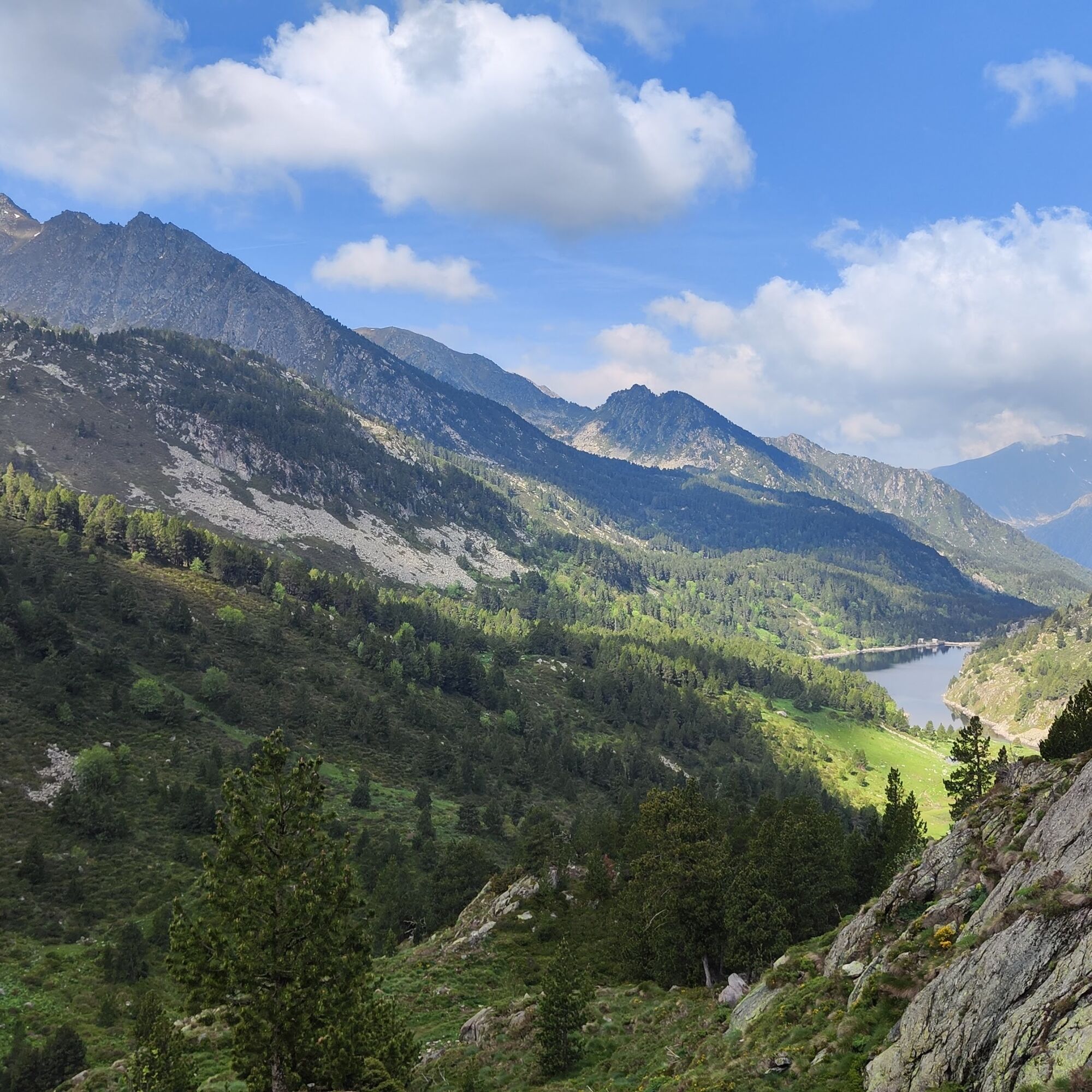
0h00 - PARKING (1,400 m). Enter the village via the main alleyway, around the corner from the town hall. After parking, walk past the gîte d'étape, then turn left onto the footpath (GR107, red and white markings) which rises to reach the RN22, which you cross and follow to the right. After about 50 m, turn left onto a traverse that climbs the embankment. After two hairpin bends, the path rises slowly on the mountainside to the north-east.
0h45 - INTERSECTION 1 (1,600 m). Ignore the GR107 which heads for the Col de Puymorens, and continue straight ahead along its variant. Follow the red and white markings. The path leaves the wood to thread its way through the rhododendrons of the Bessateil jasse, then re-enters the trees to climb more steeply.
1h55 - PLATEFORME (1,935 m). Follow to the left the platform of an old railroad track used to build the Bésines dam.
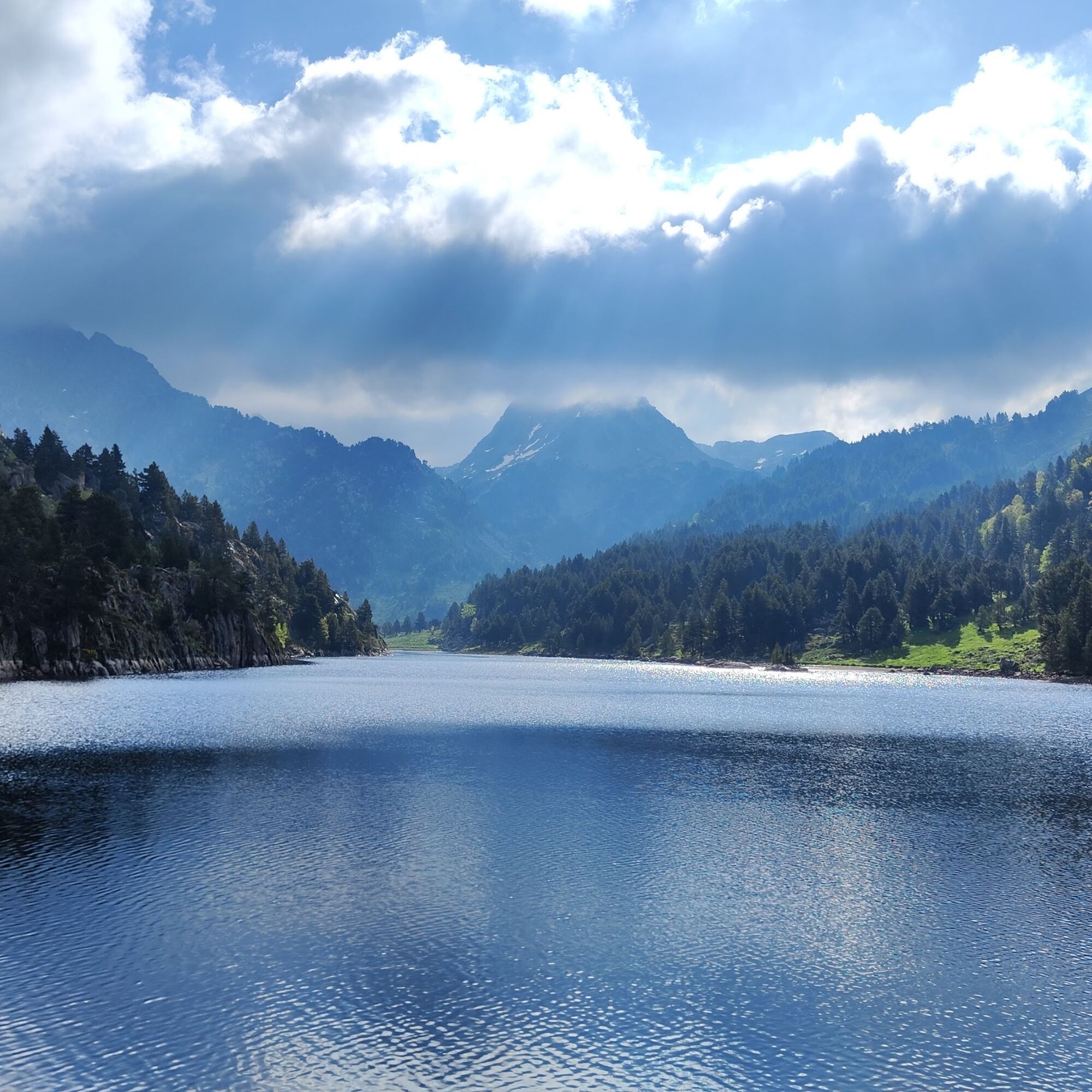
2h10 - BARRAGE DES BESINES (1,980 m). Follow the lake to the right.
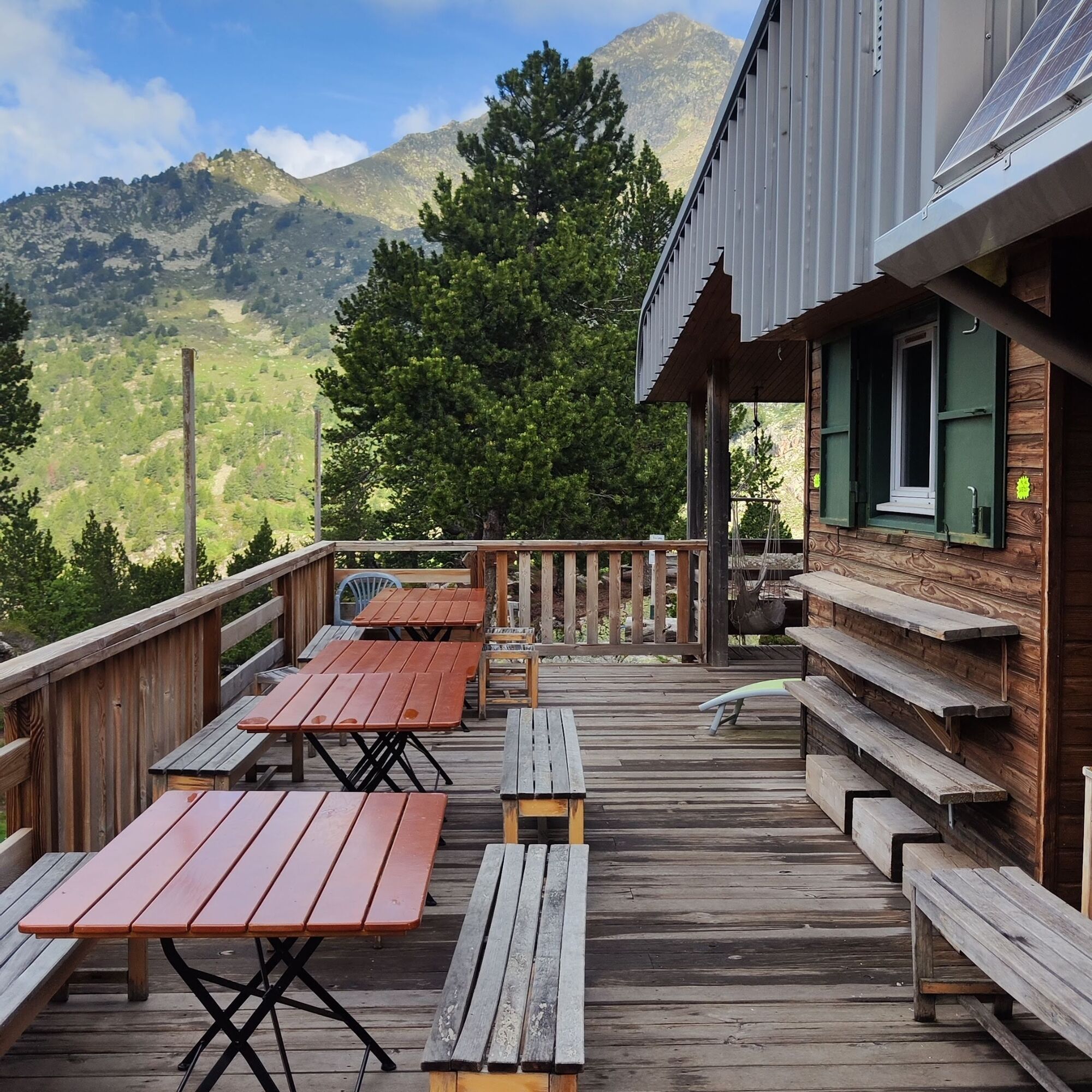
2:30 - JASSE DU PLA (2,000 m). Here you can either sit back and enjoy a picnic on the banks of the lake, or continue on to the refuge des Bésines and explore the valley in greater depth. To do this, head east along a path that runs alongside the étang des Bésines and leads to a flat area. After passing the pond, the path climbs up to reach the refuge des Bésines (2104m) in 30 minutes.
The return journey takes the same route.
0h45 - INTERSECTION 1 (1,600 m). Ignore the GR107 which heads for the Col de Puymorens, and continue straight ahead along its variant. Follow the red and white markings. The path leaves the wood to thread its way through the rhododendrons of the Bessateil jasse, then re-enters the trees to climb more steeply.
1h55 - PLATEFORME (1,935 m). Follow to the left the platform of an old railroad track used to build the Bésines dam.
2h10 - BARRAGE DES BESINES (1,980 m). Follow the lake to the right.
2:30 - JASSE DU PLA (2,000 m). Here you can either sit back and enjoy a picnic on the banks of the lake, or continue on to the refuge des Bésines and explore the valley in greater depth. To do this, head east along a path that runs alongside the étang des Bésines and leads to a flat area. After passing the pond, the path climbs up to reach the refuge des Bésines (2104m) in 30 minutes.
The return journey takes the same route.
Enosmerna tura
Da
Še ni pregledov
Priljubljeni izleti v okolici
-
4.0
Soldeu - Vall d'Incles - Picnic - Cami de l'Obac
svetlobaPohodništvo 10.8 km -
The Perics tour
srednjaPohodništvo 47.5 km -
The Bonshommes Trail GR®107
srednjaPohodništvo 224.7 km -
Soldeu - Estany de Querol - Basses de les Salamandres - near Estany Cabana Sorda
težkoPohodništvo 11.1 km -
Chemin de la Transhumance Plateau de Beille - Val d'Incles
težkoPohodništvo 37.2 km -
Fontargente ponds
svetlobaPohodništvo 7.78 km -
GR10 Pyrenäenweg Etappe 45
srednjaPohodništvo v daljavo 16.9 km -
Refuge du Rulhe via Le Rieutort
svetlobaPohodništvo 13.2 km -
La dent d'Orlu
srednjaPohodništvo 4.88 km -
Soldeu - Estanys Siscaro - Soldeu
srednjaPohodništvo 14.3 km

Pohodništvo in sledenje

Zaradi več kot 550.000 predlogov izletov, podrobnih zemljevidov in intuitivnega načrtovanja poti je aplikacija obvezna oprema za vse ljubitelje narave.

Ne zamudite ponudb in navdiha za naslednje počitnice
Naročite se na novice
Napaka
Zgodila se je napaka. Prosimo, poskusite znova.
Zahvaljujemo se vam za prijavo
Vaš e-poštni naslov je bil dodan na poštni seznam.
Izleti po vsej Evropi
Avstrija
Švica
Nemčija
Italija
Slovenija
Francija
Nizozemska
Belgija
Poljska
Lihtenštajn
Češka
Slovaška
Španija
Chorvátsko
Bosna in Hercegovina
Luksemburg
Andora
පෘතුගාලය
අයිස්ලන්තය
එක්සත් රාජධානිය
අයර්ලන්තය
ග්රීසිය
ඇල්බේනියාව
North Macedonia
Malta
Norway
Montenegro
Moldova
කොසෝවො
හන්ගේරියානු සමුහාණ්ඩුව
San Marino
රුමේනියාව
එස්ටෝනියා
ලැට්වියාව
බෙලාරස්
සයිප්රස්
Lithuania
Serbia
බල්ගේරියාව
Monaco
ඩෙන්මාර්කය
Sweden
ෆින්ලන්තය





