
Blue Pond
svetloba
Pridobite to turo v svoj mobilni telefon
Blue Pond
svetloba
Pohodništvo
9.90
km
Skenirajte kodo QR in začnite navigacijo v aplikaciji bergfex.


Pohodništvo in sledenje




Blue Pond
svetloba
Razdalja
9.90
km
Trajanje
04:30
h
Ascent
756
hm
Morska gladina
1,024 -
1,806
m

V aplikaciji si oglej pot
Brezplačno namestite aplikacijo in spremljajte pot z GPS-navigacijo in sledenjem.
bergfex zdaj uporabljaj v aplikaciji
S kamero poskeniraj QR-kodo
Ko je aplikacija nameščena, se vsebina odpre takoj. Če aplikacije še nimaš, te bo preusmerila na stran za brezplačen prenos.
Prenos skladbe
Blue Pond
svetloba
Pohodništvo
9.90
km
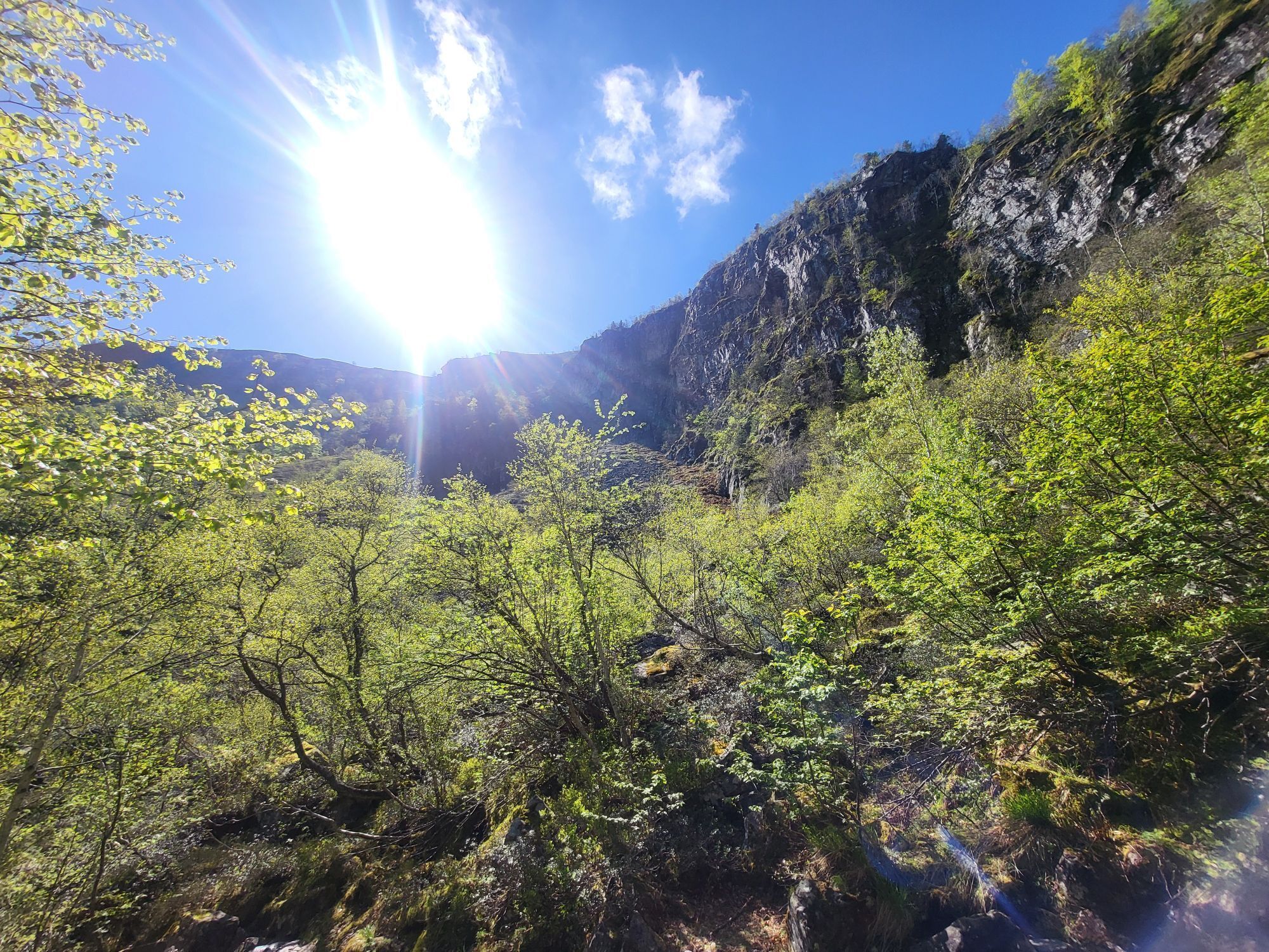
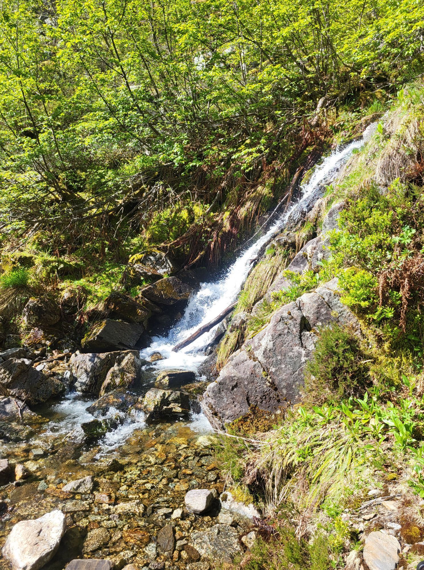
Access: From Tarascon sur Ariège, take the D618 to Surba, towards Col de Port. Then head for Rabat-les-Trois-Seigneurs on the D223. Go through the village, then through the hamlet of La Freyte, and reach...
Opis
Access: From Tarascon sur Ariège, take the D618 to Surba, towards Col de Port. Then head for Rabat-les-Trois-Seigneurs on the D223. Go through the village, then through the hamlet of La Freyte, and reach the end of the road.
Pot


Informacije o poti
Pot
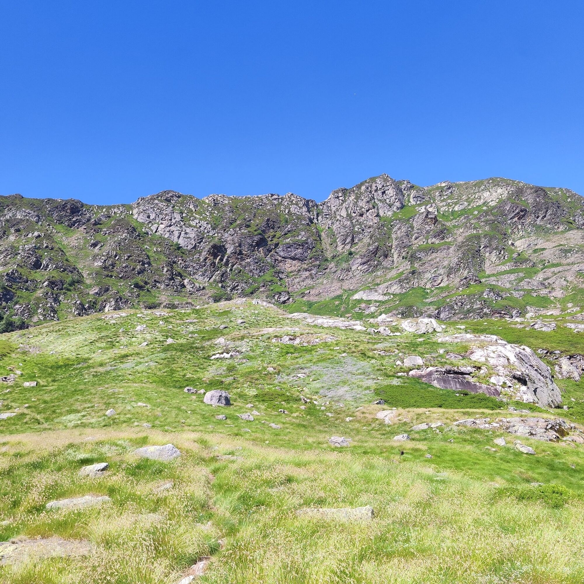
(D/A) - From Pla du Ressec at 1,022 m, follow the trail for about one kilometer until you reach a ford. Cross the Courbière Creek to the left via the cemented ford (or the wooden footbridge slightly further up); don’t be misled by the trails to the right that lead away from this spot—those are the return routes. A marked shortcut after the Débès ford allows you to avoid this loop on the trail. Heading east on this forest road, you’ll gradually enter a beautiful fir forest. After 400 meters, turn right onto a logging trail going in the opposite direction.
0h30 - Leave the road and follow this track to the right, heading west-southwest; after about 10 minutes of walking, it turns into a trail. Two small switchbacks, and you’ll enter the Bois du Debès du Ressec. The trail runs alongside the Barataus Stream.
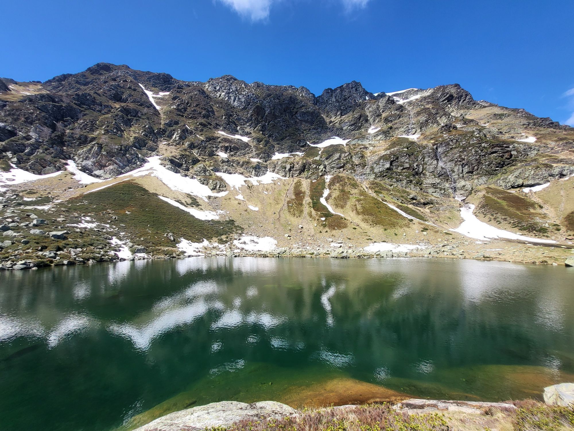
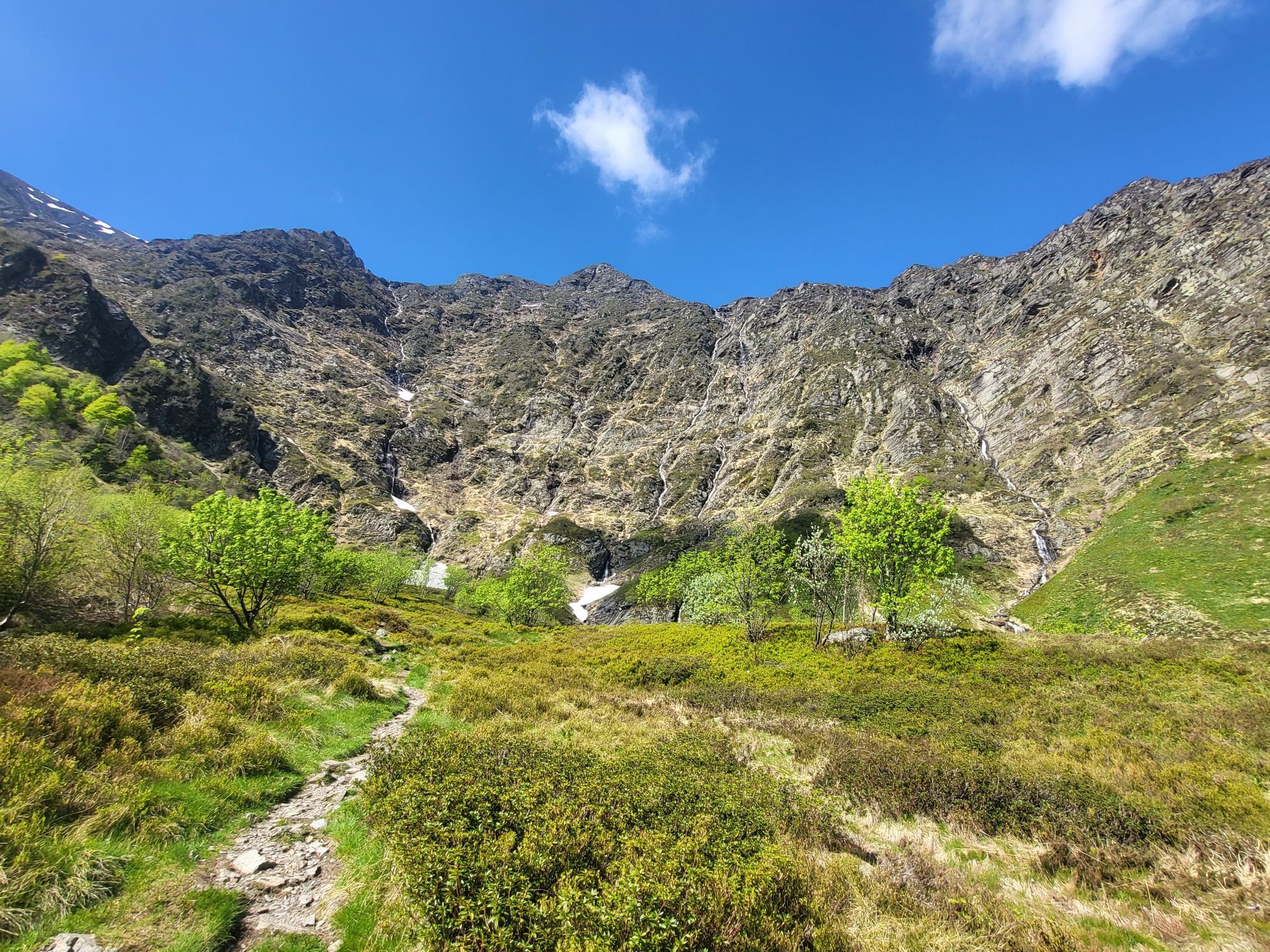
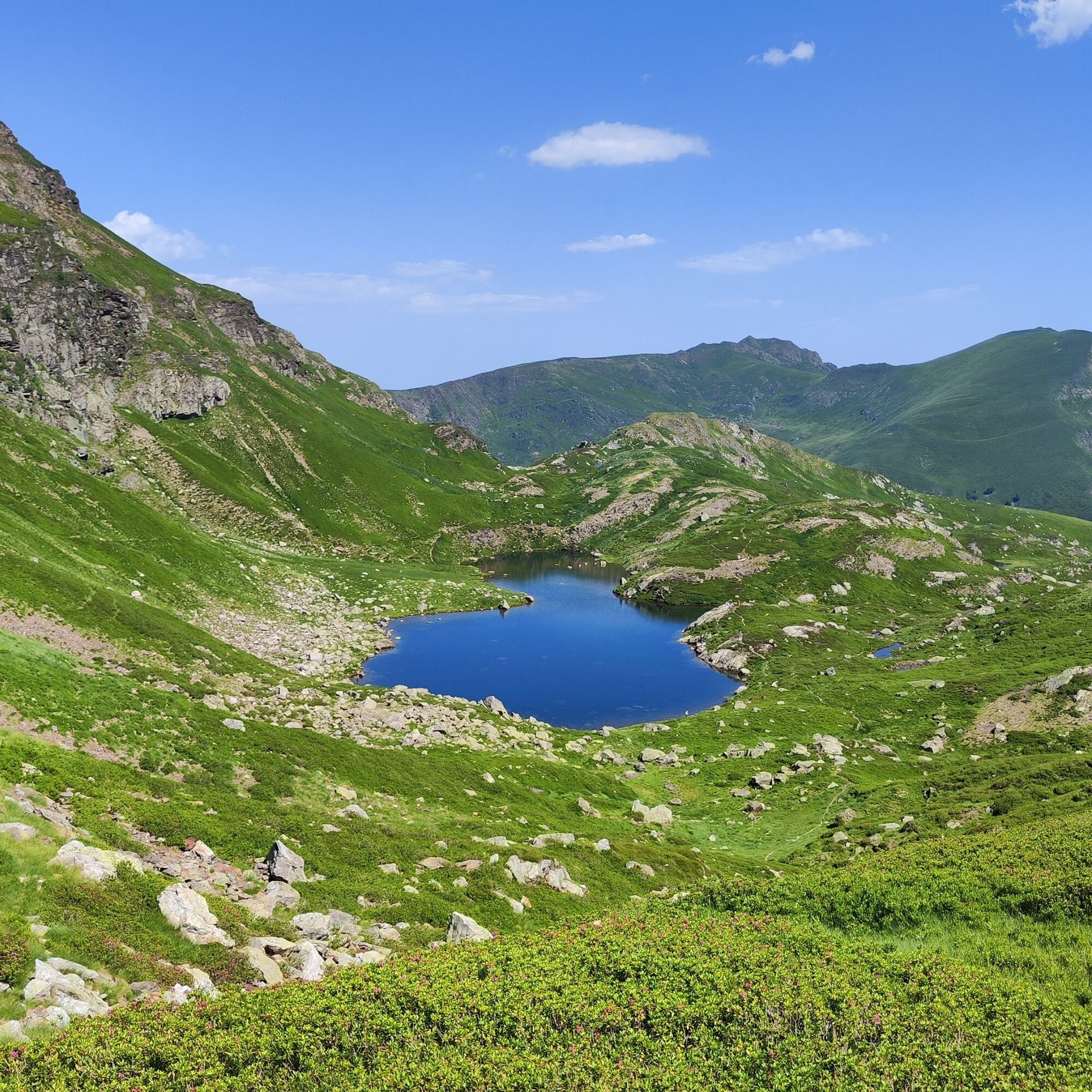
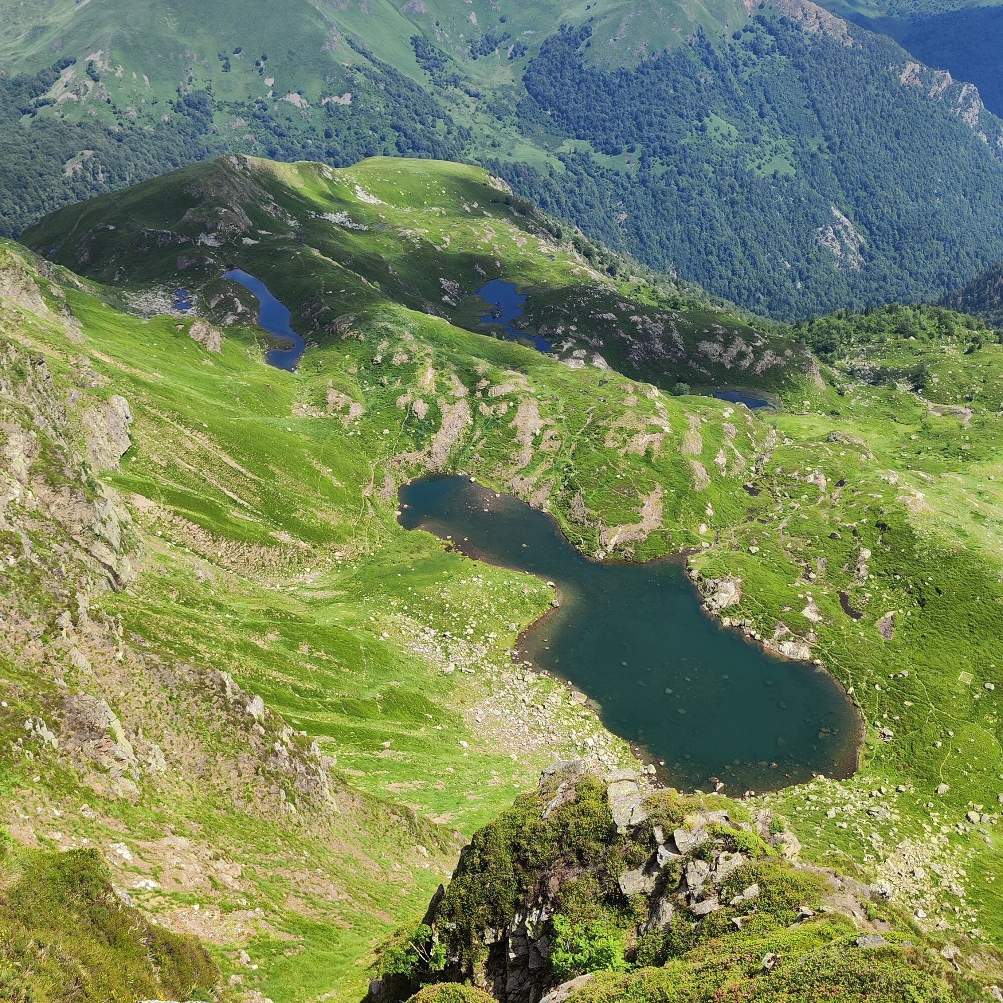
0h50 – ORRI (1,273 m) From the orri, the steeper trail first winds its way through a beech forest. Later, as you make your way up a series of switchbacks, you’ll see the Rocher de l’Aigle on your left. Soon you’ll ford the Barataus (1,670 m) and finally emerge at the Jasse de l’Étang Bleu (1 hr 50 min), where you’ll find numerous ruins of shepherds’ huts. The ascent continues due west to the Étang Bleu.
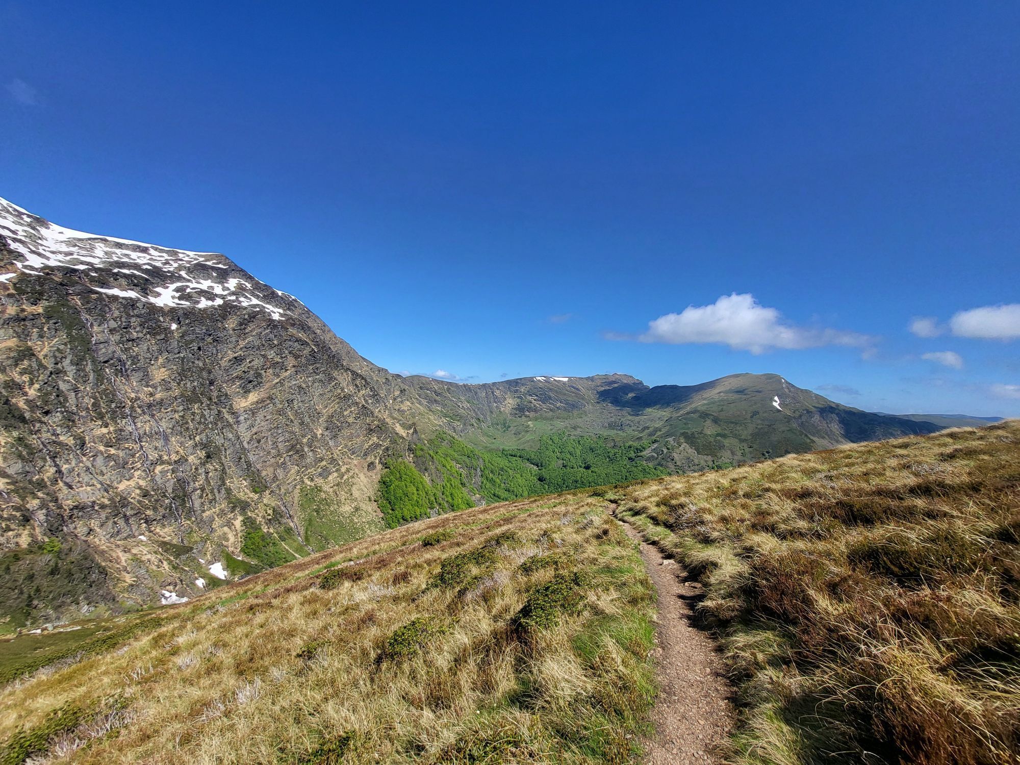
2h40 - THE ÉTANG BLEU. From the Étang Bleu, the trail climbs to the right up the small hill. Take the Chemin du Cirque d’Embans and follow the ridgeline (1,822 m) above the Étang Long. After a few switchbacks to the west and fording the Embans torrent, the trail descends steeply for about 300 m (this section is particularly steep; take precautions when hiking with children).
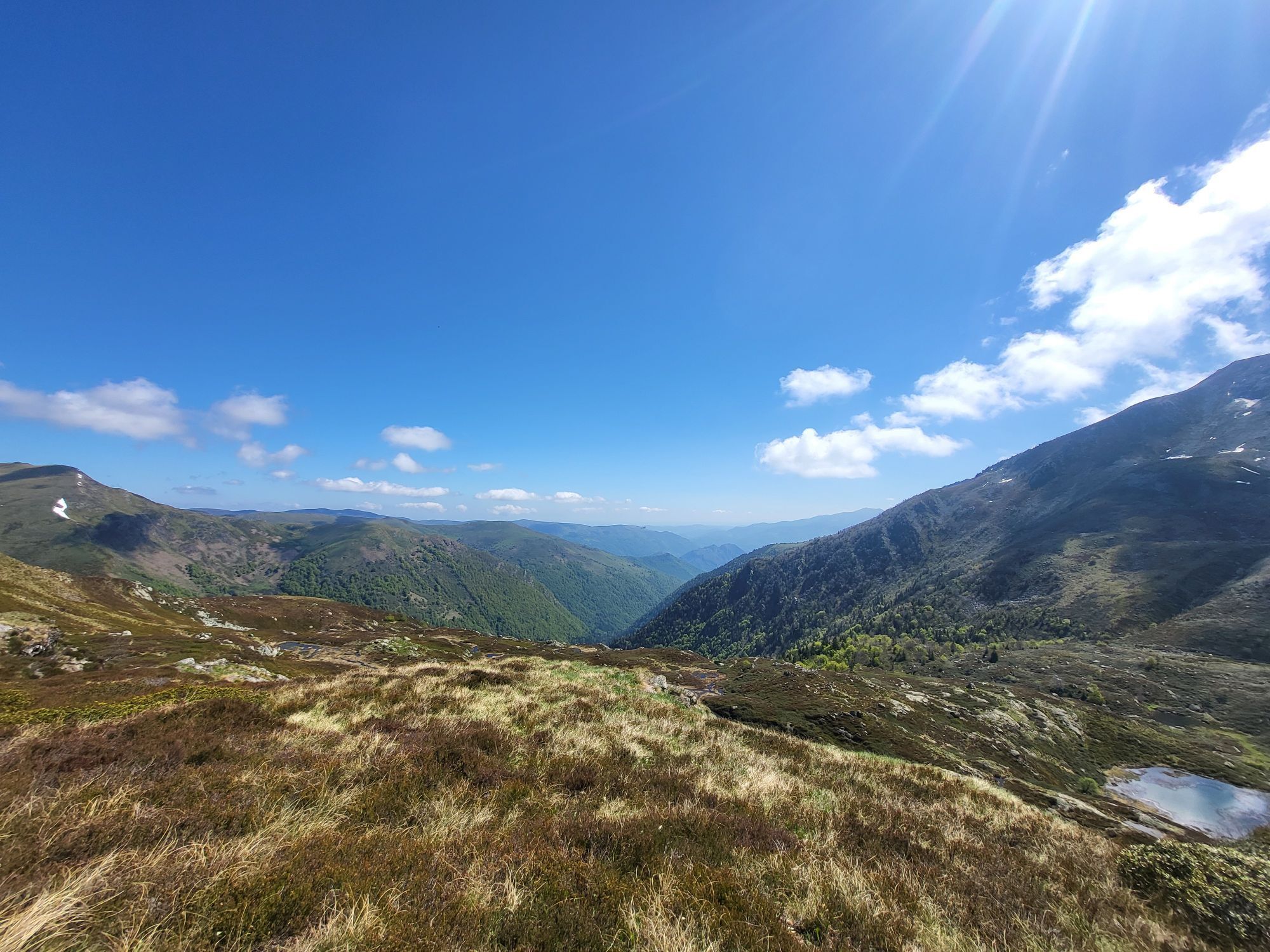
3:00 – CIRQUE D’EMBANS. The descent continues through the Bois du Cirier, a beech forest. A series of small switchbacks leads you to the footbridge crossing the Courbière.
4:00 – EMBANELS HUT (1,180 m). Turn right to cross the meadow and reach the forest road at the ford.
4:30 – Return to the Ressec plateau.
0h30 - Leave the road and follow this track to the right, heading west-southwest; after about 10 minutes of walking, it turns into a trail. Two small switchbacks, and you’ll enter the Bois du Debès du Ressec. The trail runs alongside the Barataus Stream.
0h50 – ORRI (1,273 m) From the orri, the steeper trail first winds its way through a beech forest. Later, as you make your way up a series of switchbacks, you’ll see the Rocher de l’Aigle on your left. Soon you’ll ford the Barataus (1,670 m) and finally emerge at the Jasse de l’Étang Bleu (1 hr 50 min), where you’ll find numerous ruins of shepherds’ huts. The ascent continues due west to the Étang Bleu.
2h40 - THE ÉTANG BLEU. From the Étang Bleu, the trail climbs to the right up the small hill. Take the Chemin du Cirque d’Embans and follow the ridgeline (1,822 m) above the Étang Long. After a few switchbacks to the west and fording the Embans torrent, the trail descends steeply for about 300 m (this section is particularly steep; take precautions when hiking with children).
3:00 – CIRQUE D’EMBANS. The descent continues through the Bois du Cirier, a beech forest. A series of small switchbacks leads you to the footbridge crossing the Courbière.
4:00 – EMBANELS HUT (1,180 m). Turn right to cross the meadow and reach the forest road at the ford.
4:30 – Return to the Ressec plateau.
Vrednotenja


Priljubljeni izleti v okolici
- 5.0
Étang de Guzet by the Ars waterfall
težkoPohodništvo 13.0 km Cyclosport circuit 7 - The five passes
težkoCestno kolo 104.2 km- 5.0
Route E - Ars Waterfall
srednjaTrailrunning 13.4 km Ars waterfall
svetlobaPohodništvo 8.64 kmHors catégorie stage 100% Ariège tour de France - circuit n°12
težkoCestno kolo 103.7 kmCircuit cyclotourisme - Au tour du pic des trois seigneurs
težkoCestno kolo 74.2 kmCyclosport route 11 - The Ariège cycloroute - Stage 1: from Foix to Castillon-en-Couserans
težkoCestno kolo 86.0 km- 4.0
The Bassiès ponds and their refuge
težkoPohodništvo 14.9 km Le Col d'Agnès - circuit n°5
težkoCestno kolo 106.8 kmCyclosport route 9 - The wall of Péguère
težkoCestno kolo 69.7 km
Pohodništvo in sledenje

Zaradi več kot 550.000 predlogov izletov, podrobnih zemljevidov in intuitivnega načrtovanja poti je aplikacija obvezna oprema za vse ljubitelje narave.

Ne zamudite ponudb in navdiha za naslednje počitnice
Naročite se na novice
Napaka
Zgodila se je napaka. Prosimo, poskusite znova.Zahvaljujemo se vam za prijavo
Vaš e-poštni naslov je bil dodan na poštni seznam.
Izleti po vsej Evropi
Avstrija Švica Nemčija Italija Slovenija Francija Nizozemska Belgija Poljska Lihtenštajn Češka Slovaška Španija Chorvátsko Bosna in Hercegovina Luksemburg Andora පෘතුගාලය අයිස්ලන්තය එක්සත් රාජධානිය අයර්ලන්තය ග්රීසිය ඇල්බේනියාව North Macedonia Malta Norway Montenegro Moldova කොසෝවො හන්ගේරියානු සමුහාණ්ඩුව San Marino රුමේනියාව එස්ටෝනියා ලැට්වියාව බෙලාරස් සයිප්රස් Lithuania Serbia බල්ගේරියාව Monaco ඩෙන්මාර්කය Sweden ෆින්ලන්තය





