


Cyclosport circuit 7 - The five passes
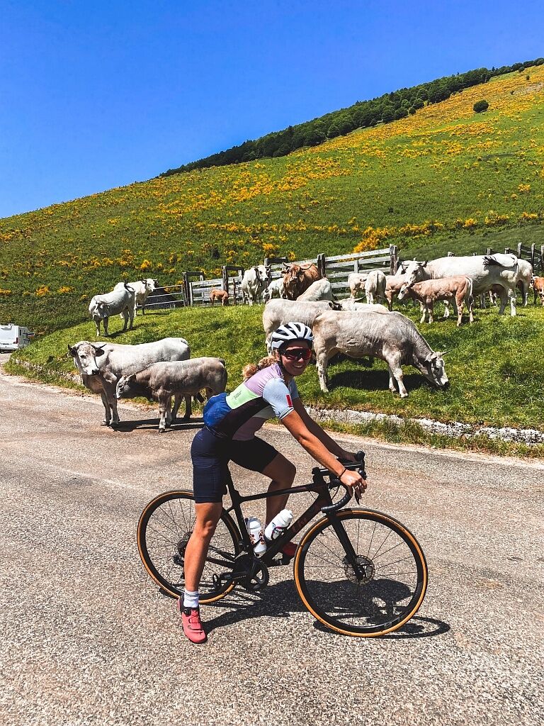
This route, tested by Anne Dubndidu, is by far her favorite. She dreamed of climbing a pass alone on the road to savor every bend. She dreamed of enjoying the scenery without the stress of being surprised...
This route, tested by Anne Dubndidu, is by far her favorite. She dreamed of climbing a pass alone on the road to savor every bend. She dreamed of enjoying the scenery without the stress of being surprised by a reckless driver. Her dream came true in Ariège.
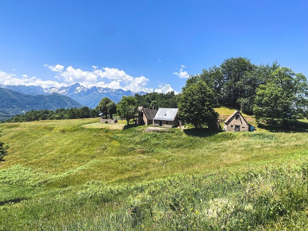
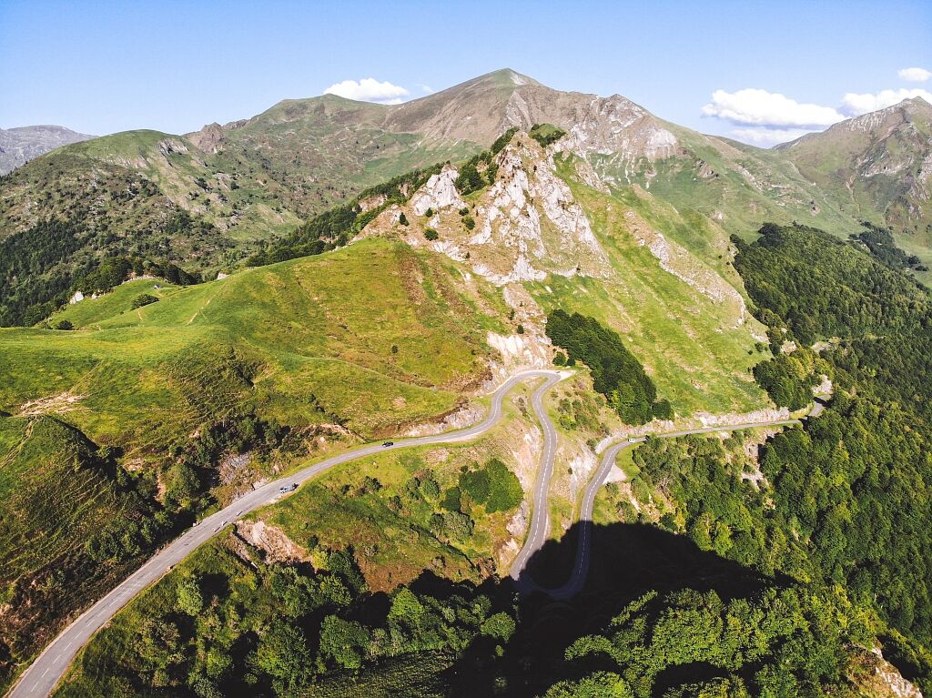
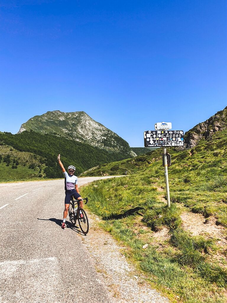
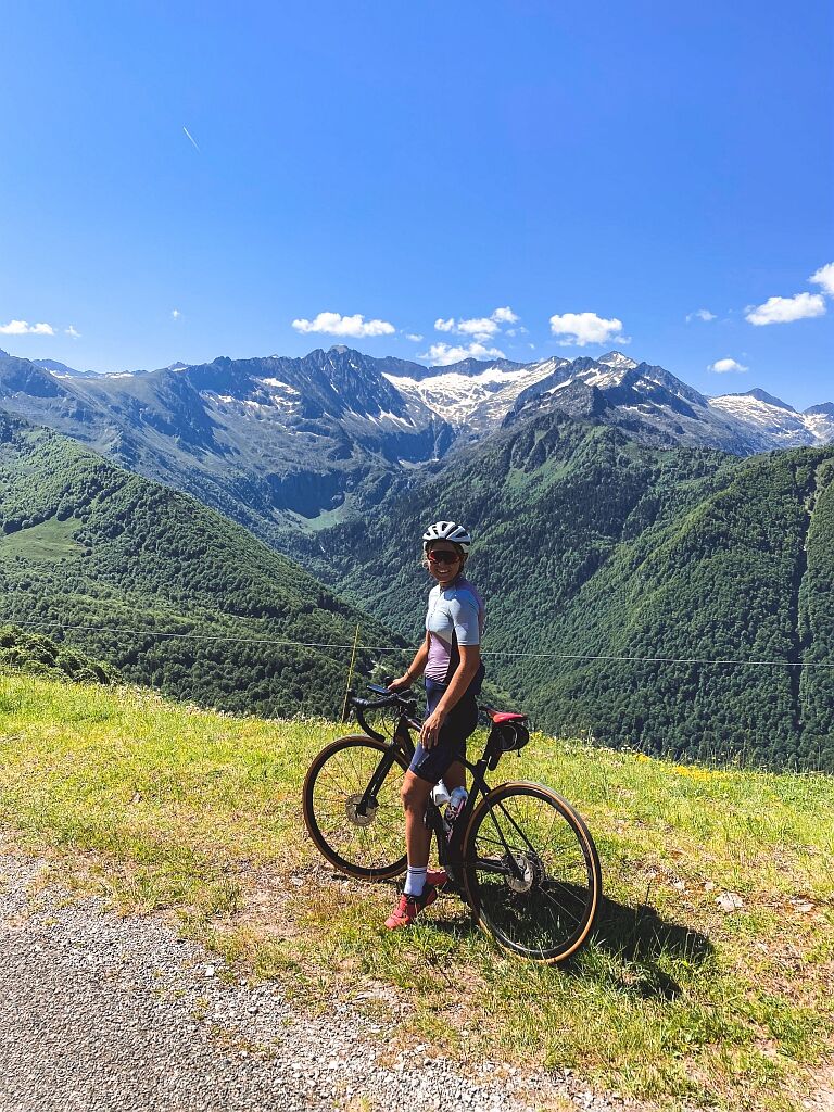
This circuit takes you on the first long and difficult climb of the Port de Lers, long forgotten with the beauty of preserved landscapes. The Col d'Agnès will be your next pass before linking to a more discreet one: the Col de Saraillé and the famous barns of Cominac where the view of the Pyrenees is stunning. You then continue the 2-in-1 with: the Col de Caougnous followed by the Col de Port.
Here is a route to feast your eyes AND your legs, enough to make any cyclist happy!
1 - FROM TARASCON-SUR-ARIÈGE TO THE PORT DE LERS
Starting from the Tarascon-sur-Ariège Tourist Office, catch Avenue de Sabart to reach its roundabout then head towards Vicdessos via the D8. Cross the village of Vicdessos then take the road towards Aulus-les-Bains via the D8F. You will pass through the Port de Lers then the Col d'Agnès.
2 - FROM AULUS-LES-BAINS TO MASSAT
After crossing Aulus-les-Bains, continue towards Ercé via the D32. In the village of Ercé, turn onto the D132 towards Cominac. You will pass the Col de Saraillé via the D17 before reaching Massat.
3 - FROM MASSAT TO TARASCON-SUR-ARIÈGE
After Massat, continue on the D618 towards Tarasacon-sur-Ariège. You will pass the Col des Caougnous then the Col de Port.
Emergency number: 112.
Consider carpooling.
To learn more about our destination, visit our website.
Warning, part of the circuit is closed between October and May by prefectural decree.
Priljubljeni izleti v okolici
- 5.0
Étang de Guzet by the Ars waterfall
težkoPohodništvo 12.3 km Circuit cyclosport 11 - Le cyclotour de l'Ariège - Etape 2 de Castillon-en-Couserans à Auzat
težkoCestno kolo 84.0 km- 5.0
Blue Pond
svetlobaPohodništvo 9.90 km GR®10 - The great crossing of the Pyrenees
težkoPohodništvo 278.3 kmArs waterfall
svetlobaPohodništvo 8.64 kmHors catégorie stage 100% Ariège tour de France - circuit n°12
težkoCestno kolo 103.7 kmCircuit cyclotourisme - Au tour du pic des trois seigneurs
težkoCestno kolo 74.2 kmLe Col d'Agnès - circuit n°5
težkoCestno kolo 106.8 kmCyclosport route 11 - The Ariège cycloroute - Stage 1: from Foix to Castillon-en-Couserans
težkoCestno kolo 86.0 kmCyclosport route 9 - The wall of Péguère
težkoCestno kolo 69.7 km
Pohodništvo in sledenje


Ne zamudite ponudb in navdiha za naslednje počitnice
Vaš e-poštni naslov je bil dodan na poštni seznam.