


RANDONNEE DE PEYRE MARTINE
An extensive circuit starting from the Buèges valley, "a hidden gem in the Montpellier hinterland", which takes you to the luminous heights of the Séranne massif.

1
From the church parking lot, take the cement track leading out of the village. At the fork in the road, take the track on the left, between low dry-stone walls.
2
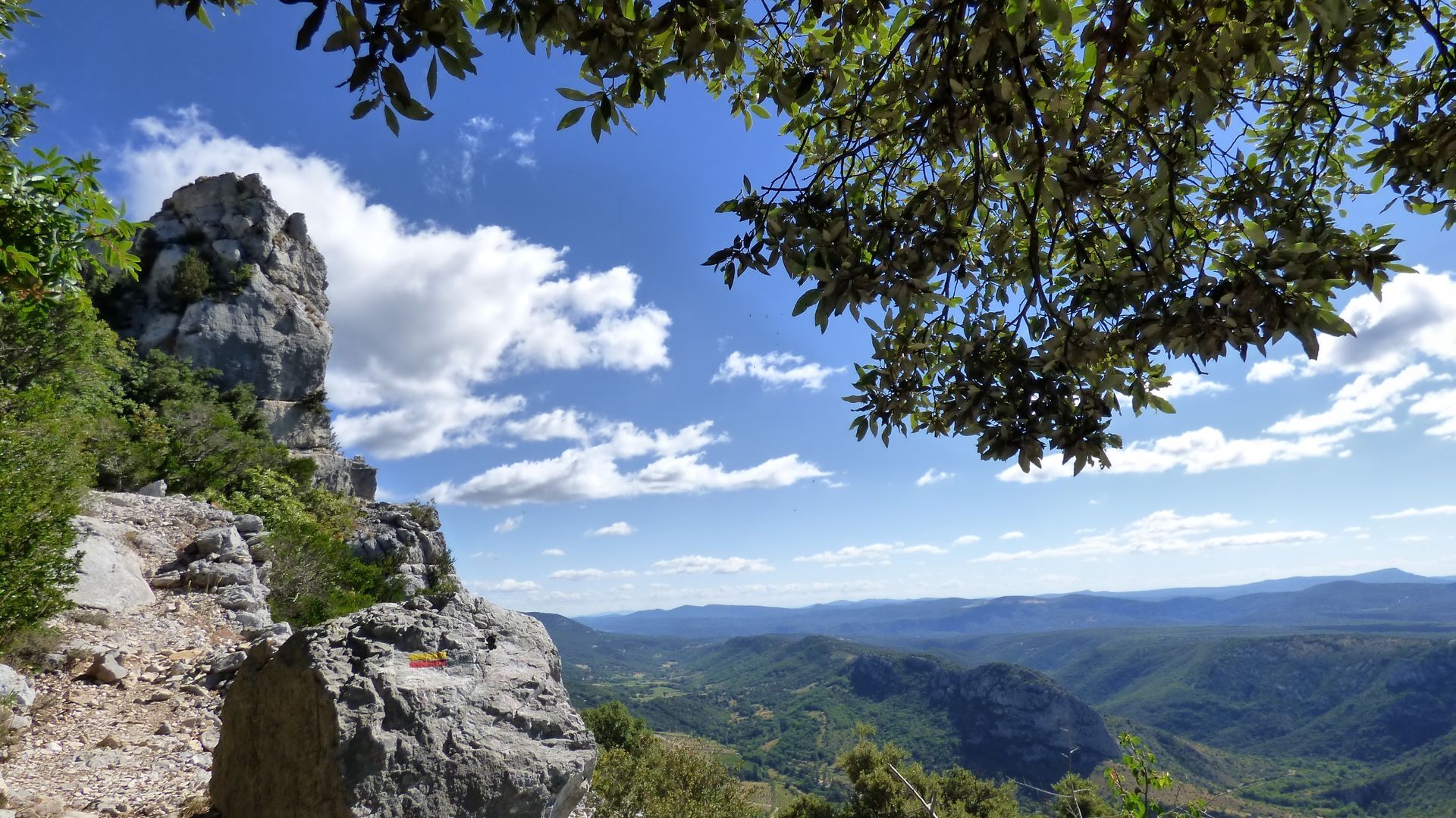
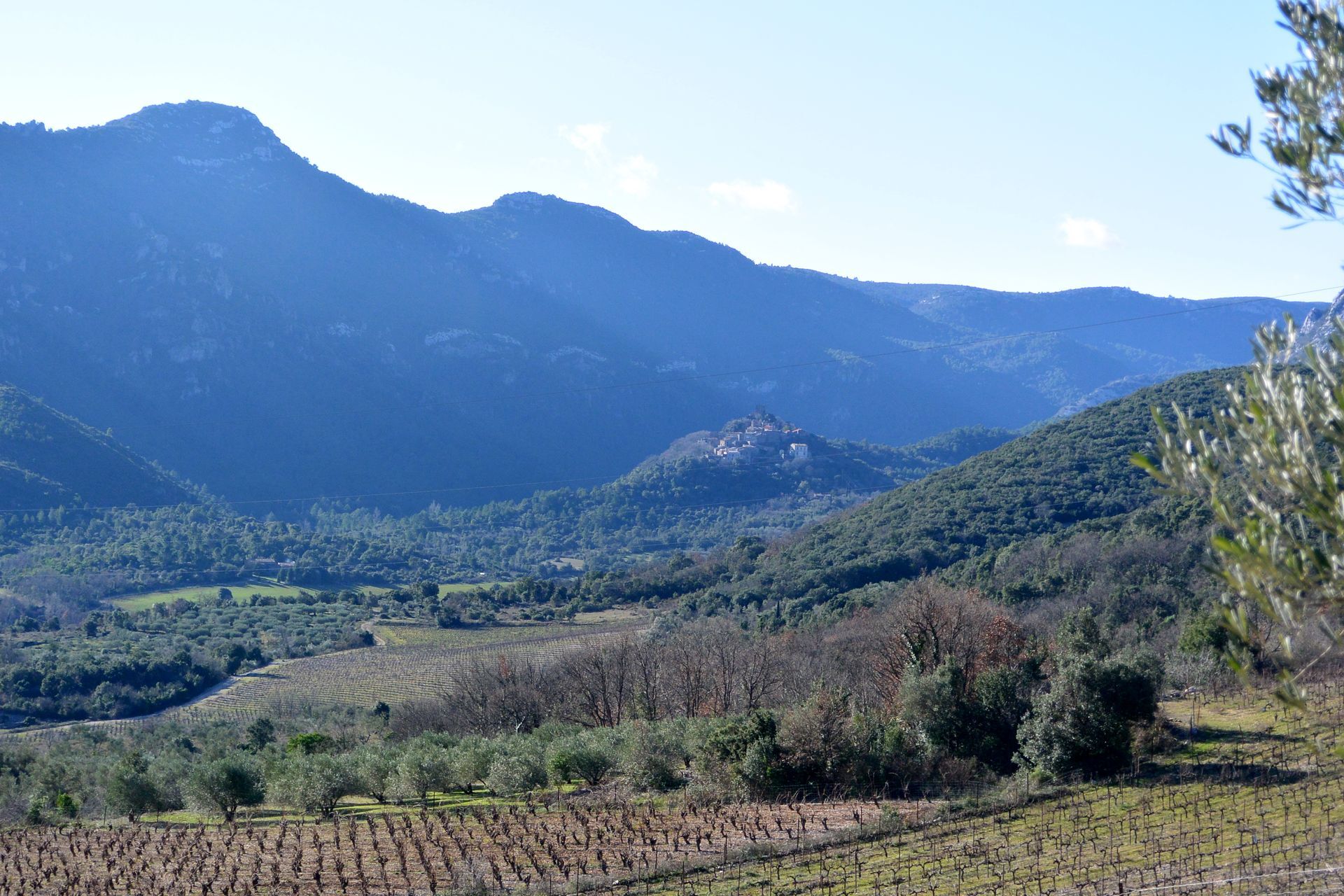
At the calvary, take the path on the right. It winds upwards (with a view over the Buèges valley) and reaches the crest of the Séranne massif. After the box-tree-ringed meadow, follow the barbed-wire fence and continue along the wide track for 150 m.
3
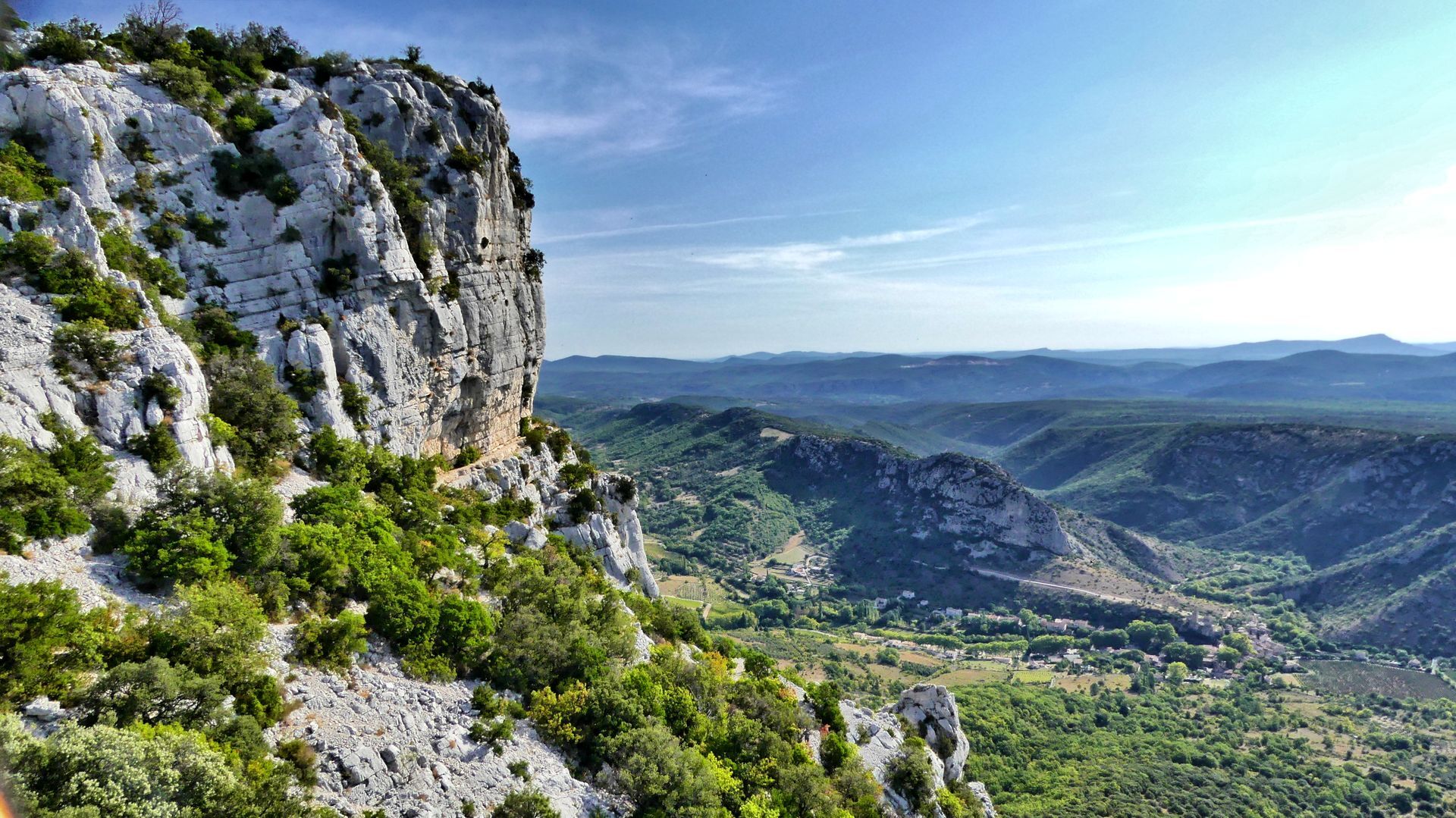
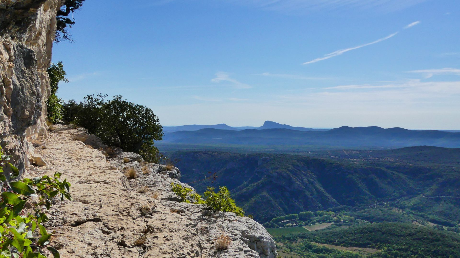
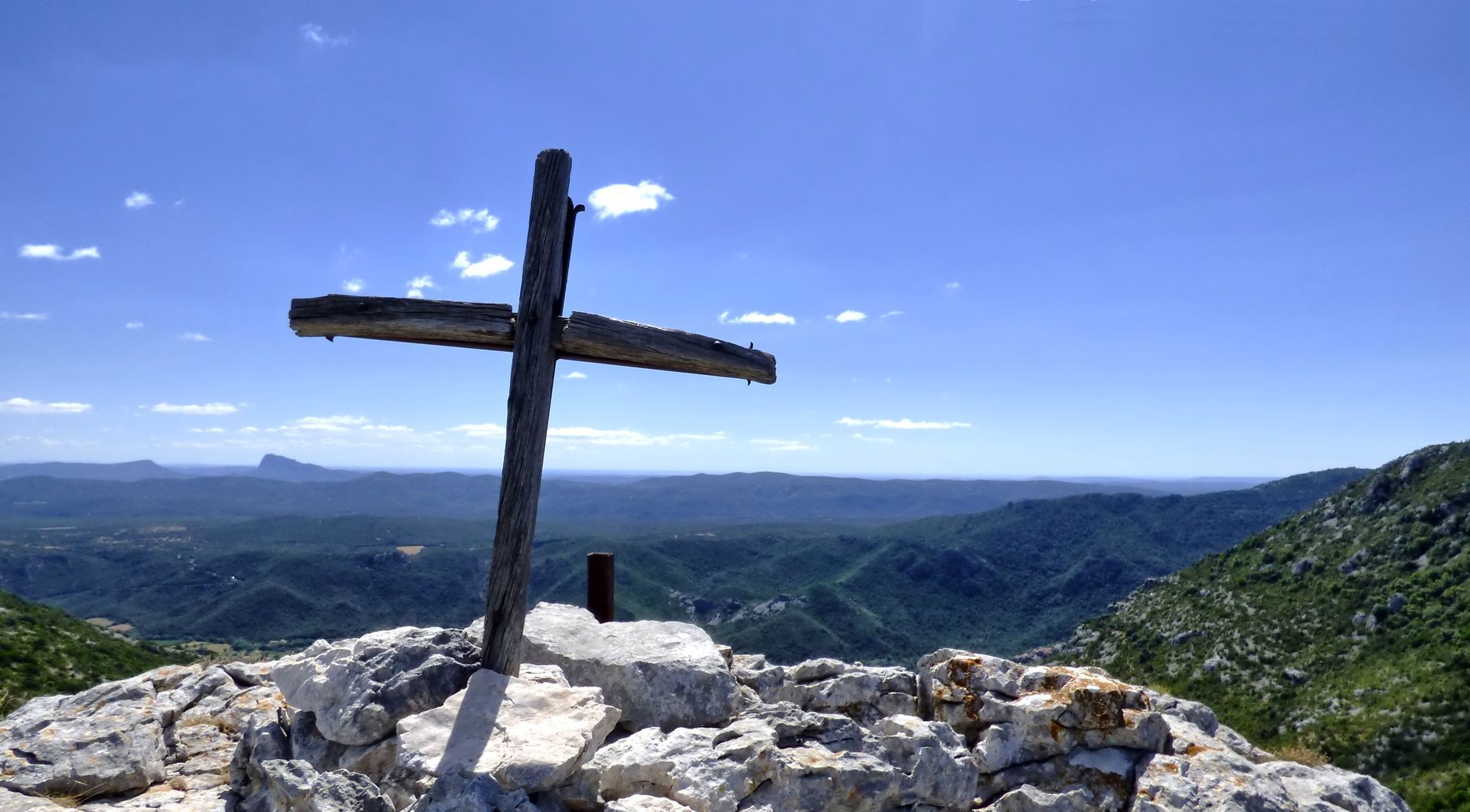
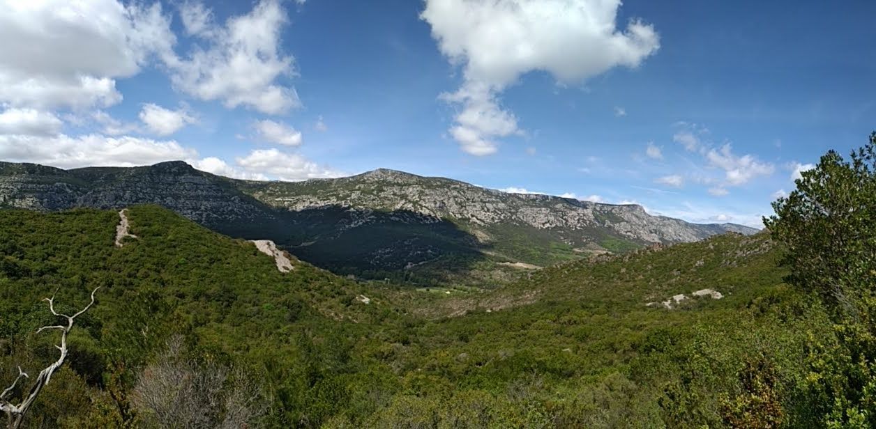
Leave the track, go left and pass under the power line. The path enters a boxwood undergrowth and climbs gradually to the Peyre Martine summit (782 m; viewpoint). Descend through the lapiaz (follow the signs!) and reach the pass (cross) overlooking the cirque de la Séranne (Gr® 74).
4
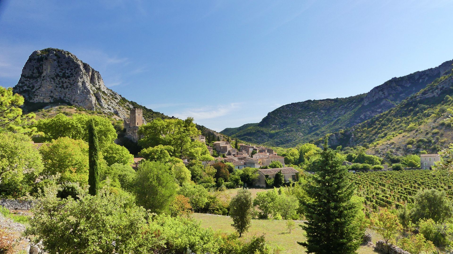
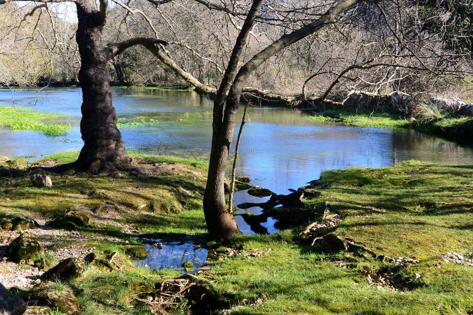
Take the left-hand path down into the combe. Go through the hamlet of Méjanel, down the left-hand track to the parking area for the Buèges spring (picnic area).
5
Continue along the road, cross the d122 and turn left onto the path through the dolomite. Climb gradually through oak and heather vegetation to a fence on the ridge (car wreck).
6
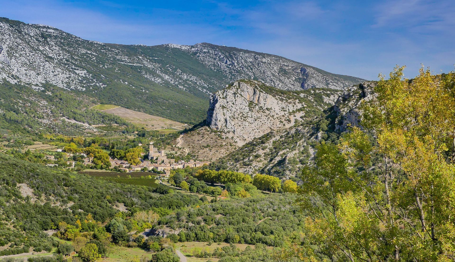
Cross the fence by the wicket gate and continue along the track on the left, bordering the fence (viewpoint opposite on the Séranne massif). Continue along the ridge, then down the steep slope and, further on, through a small cedar wood.
7
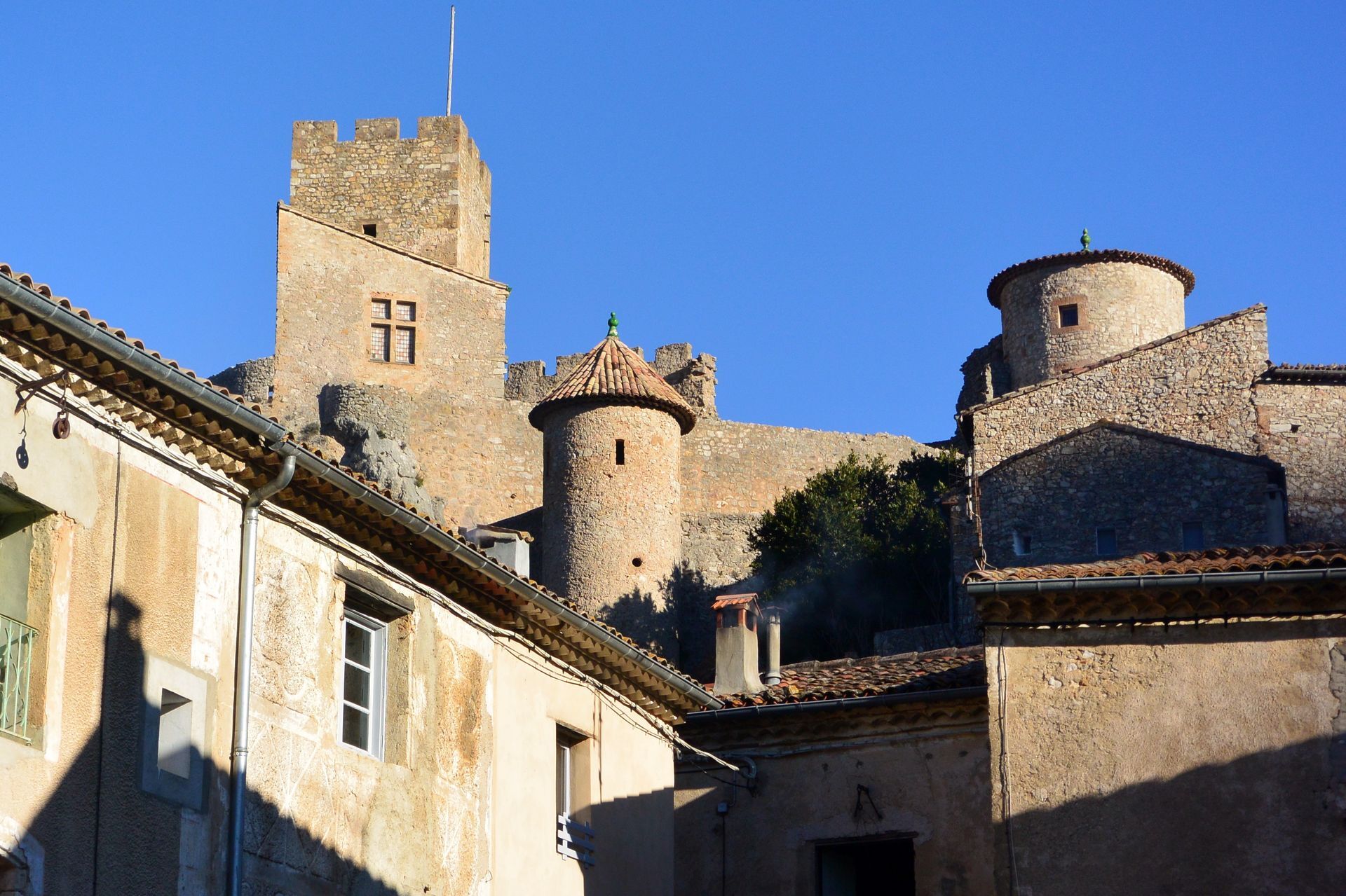
Take the DFCI track on the left for 1.5 km, then the D122 on the left for 75 m, and turn right onto the undergrowth path. it descends and crosses a combe. Cross the D122, go through the gate and find the road below. On the right, it leads to Saint-Jean-de-Buèges.
PR Yellow
https://www.grandpicsaintloup-tourisme.fr
Grand Pic Saint-Loup Intercommunal Tourist Office
PDESI
Priljubljeni izleti v okolici
-
CIRQUE DE NAVACELLES AND MOULINS DE LA FOUX HIKING TRAILS
srednjaPohodništvo 9.73 km -
5.0
DRAILLES HIKE
svetlobaPohodništvo 7.16 km -
NAVACELLES HIKE - CAUSSE AND VIS GORGES
srednjaPohodništvo 19.6 km -
HIKING OF THE BALCONIES OF THE HERAULT
srednjaPohodništvo 17.9 km -
HIKING TOUR IN THE HEART OF THE CAUSSE - GR® DE PAYS TOUR DU LARZAC MÉRIDIONAL
srednjaPohodništvo 56.7 km -
LA SERANNE PONTEL HIKE
srednjaPohodništvo 17.5 km -
HIKING OF THE SERRE DE GRENOUILLET
srednjaPohodništvo 7.70 km -
HIKE OF NOTRE-DAME-DU-LIEU-PLAISANT
srednjaPohodništvo 11.1 km -
MEDIEVAL ROUTE BETWEEN SÉRANNE AND SAINT-GUILHEM MOUNTAINS
Motorno kolo 43.7 km -
MEDIEVAL ROUTE AROUND PIC SAINT-LOUP
Motorno kolo 25.1 km
Pohodništvo in sledenje


Ne zamudite ponudb in navdiha za naslednje počitnice
Vaš e-poštni naslov je bil dodan na poštni seznam.