







Rafters' path
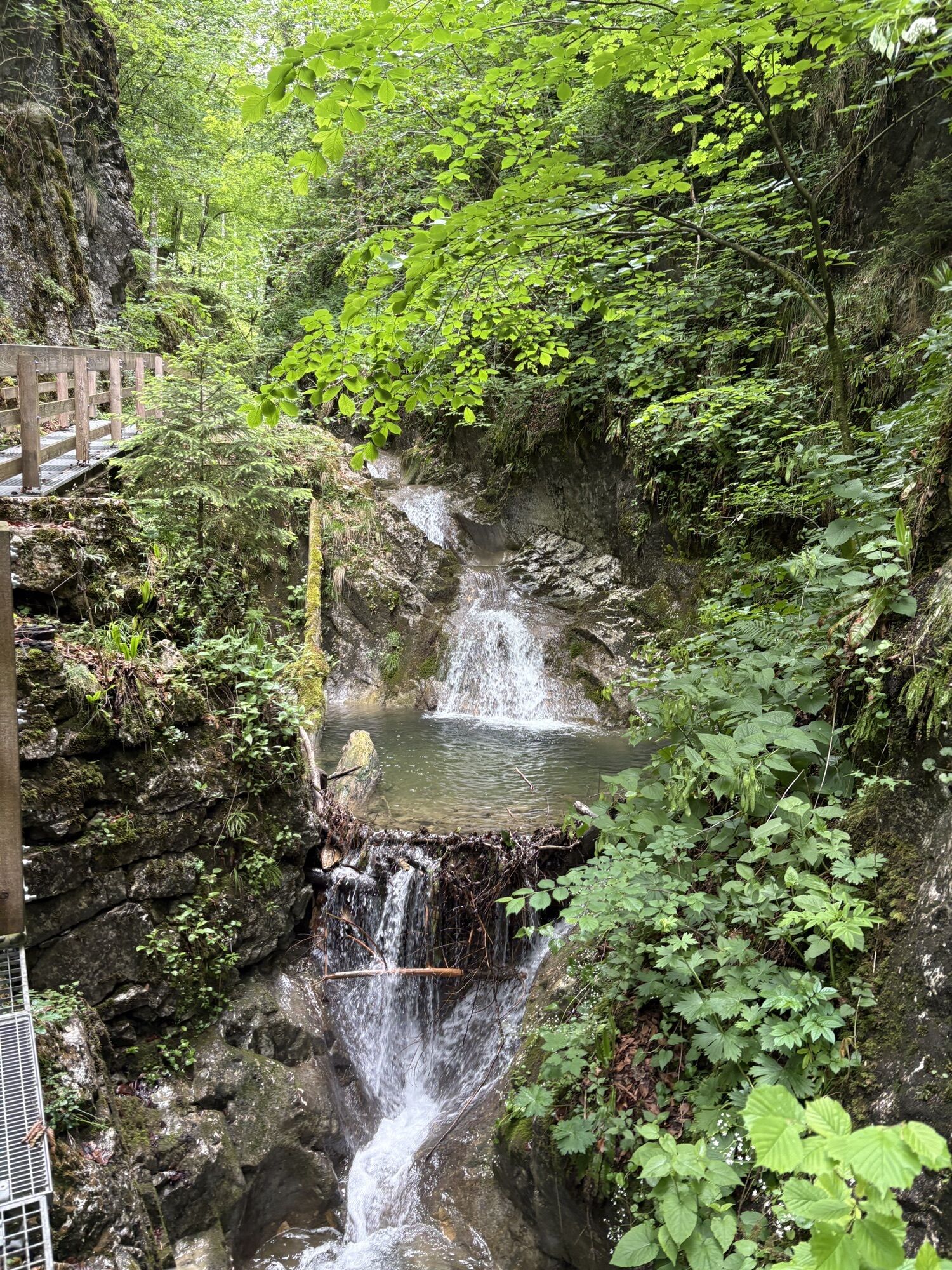
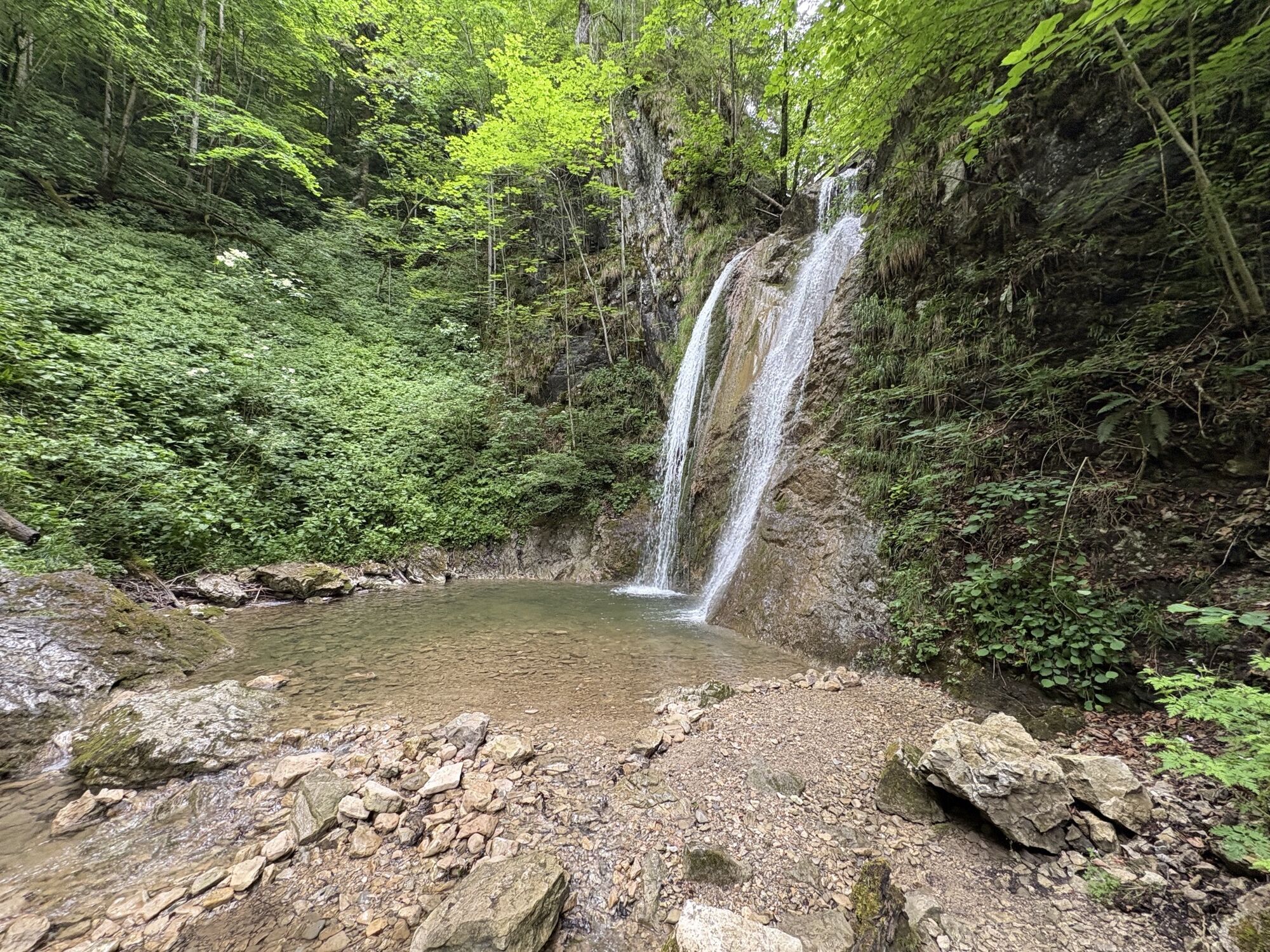
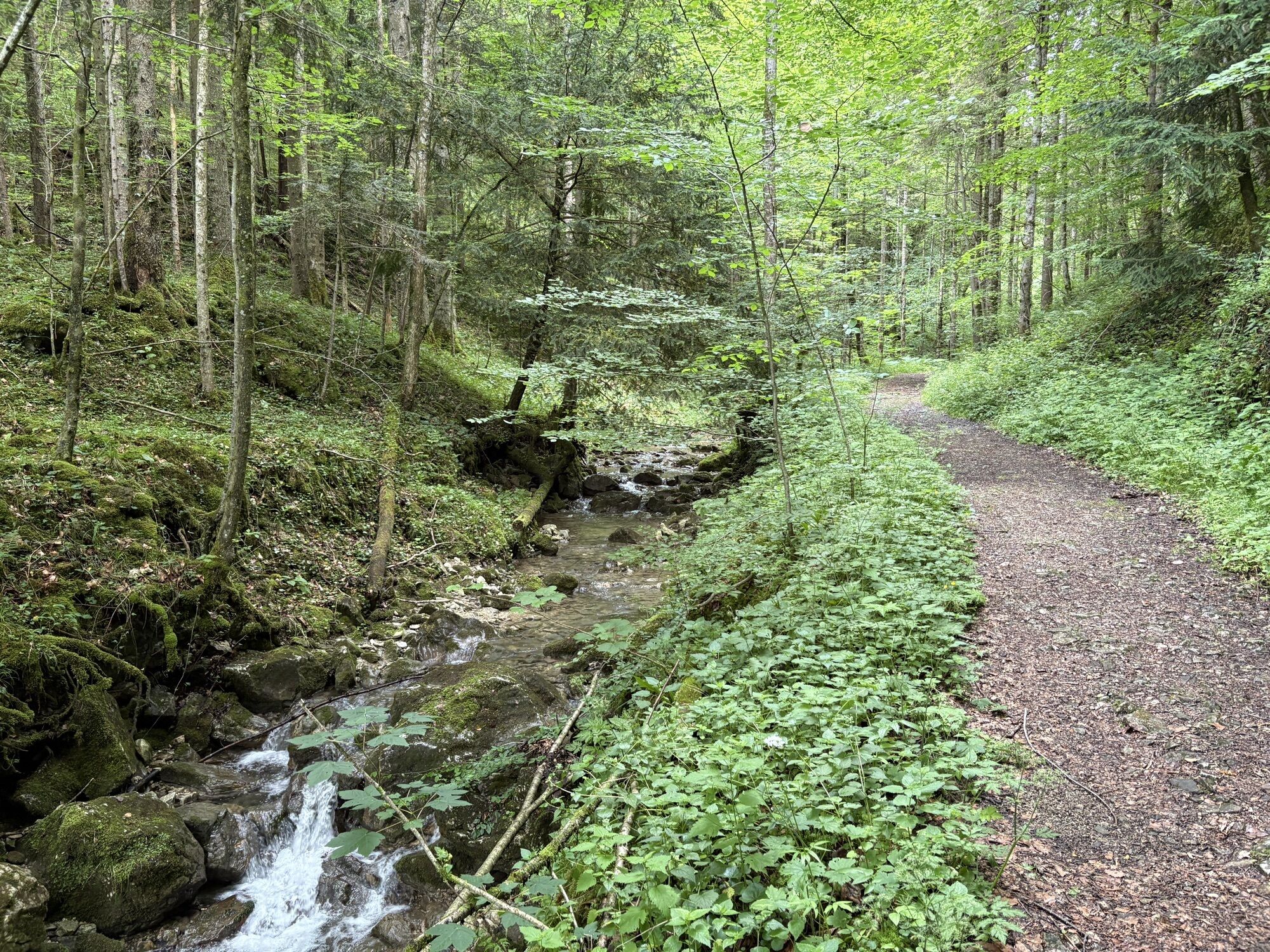
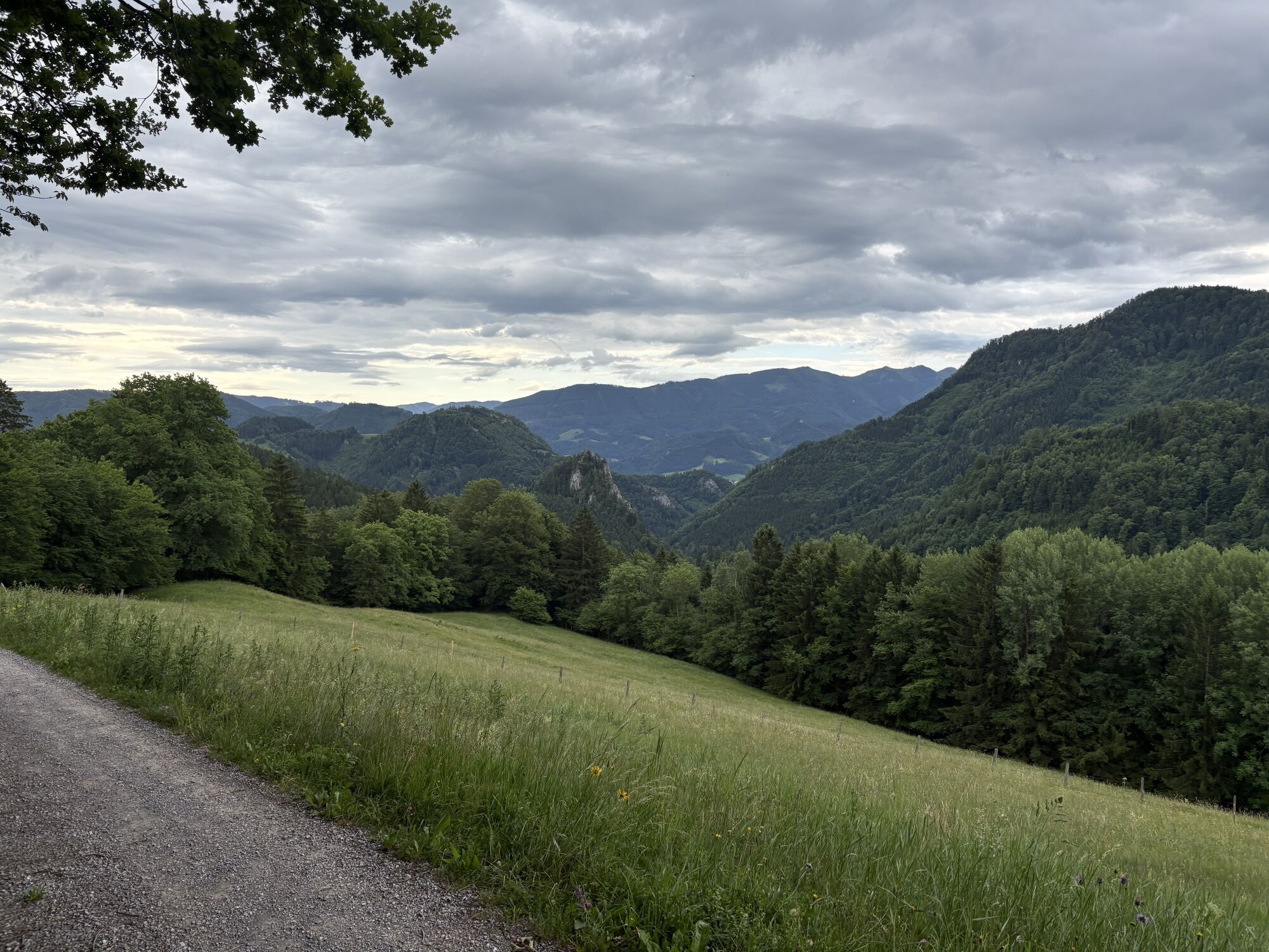
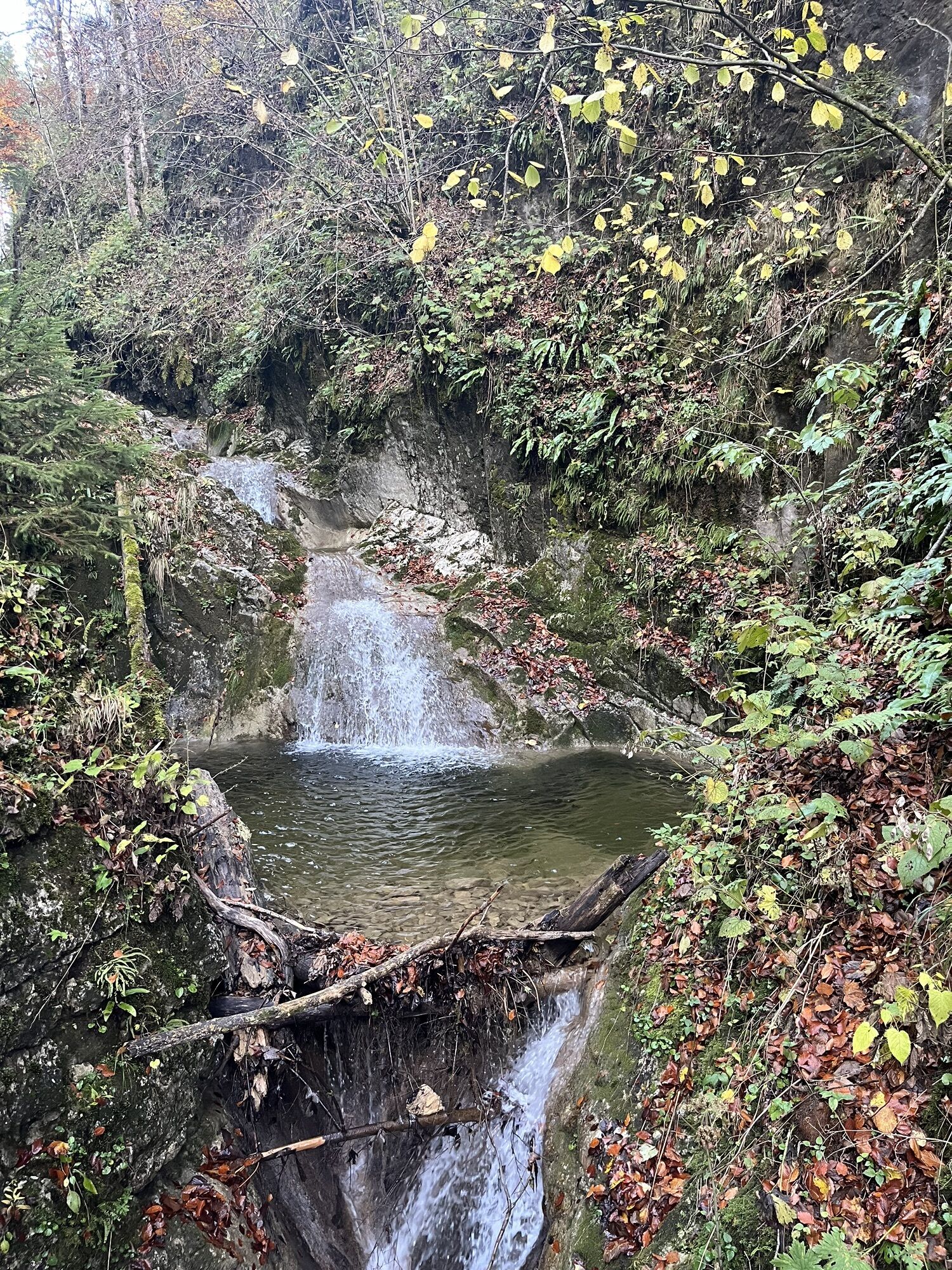
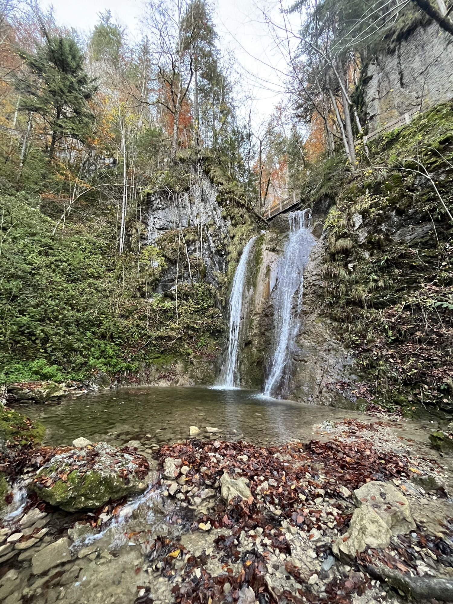
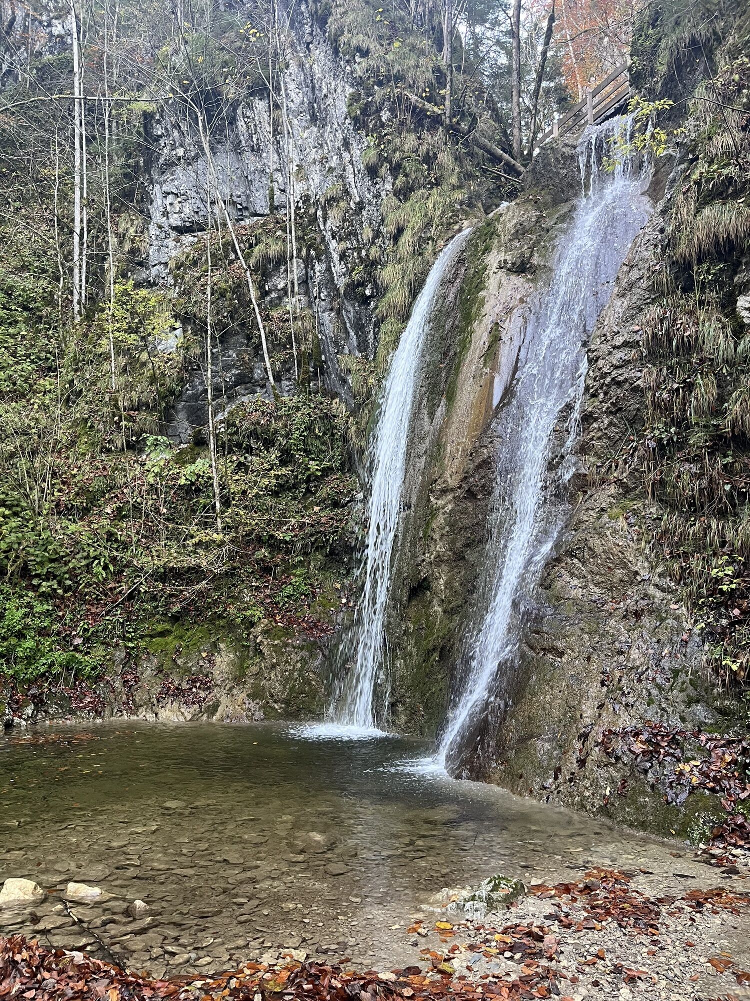
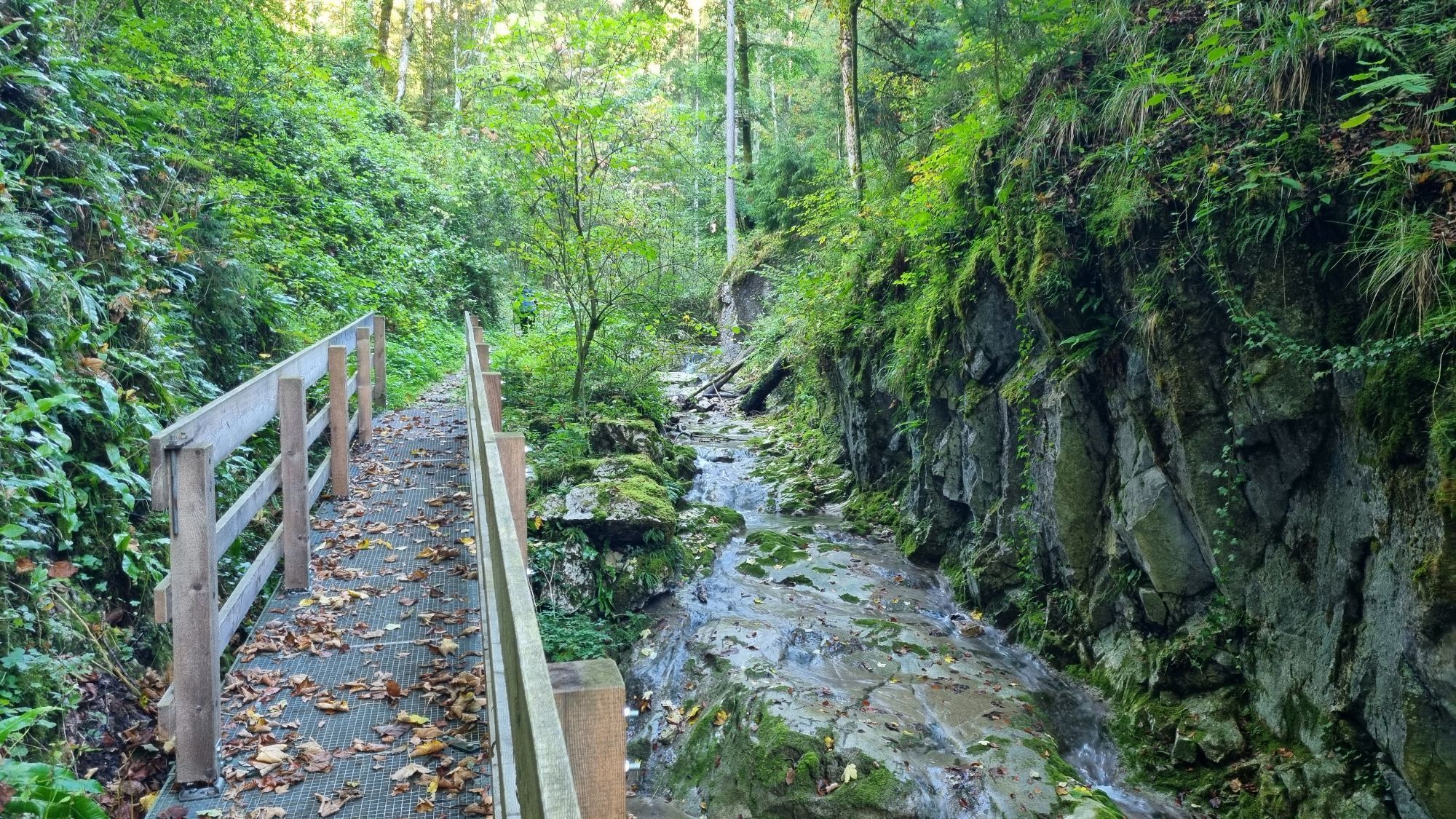
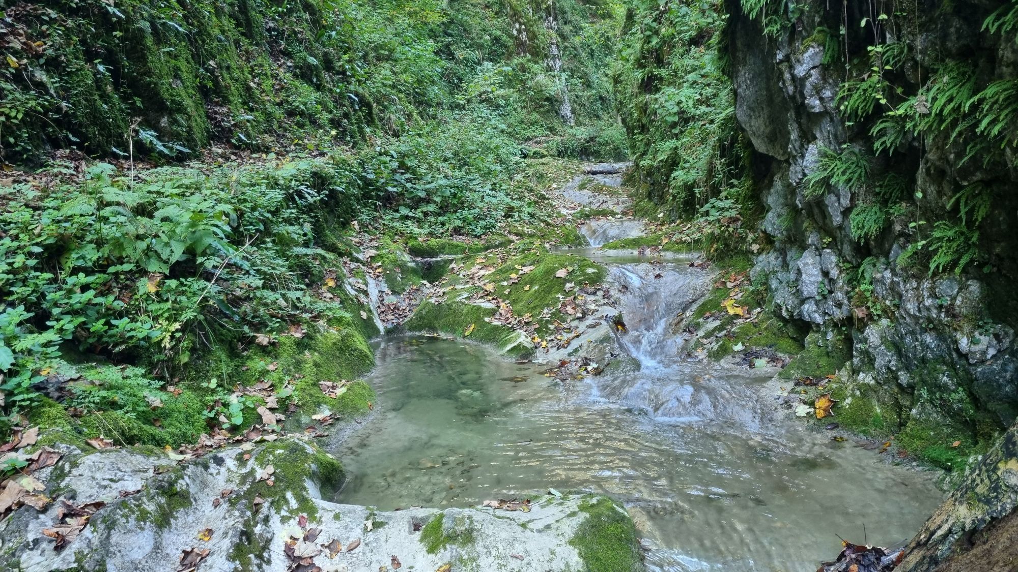
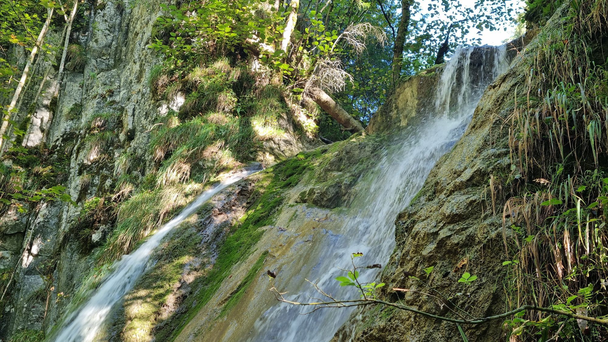
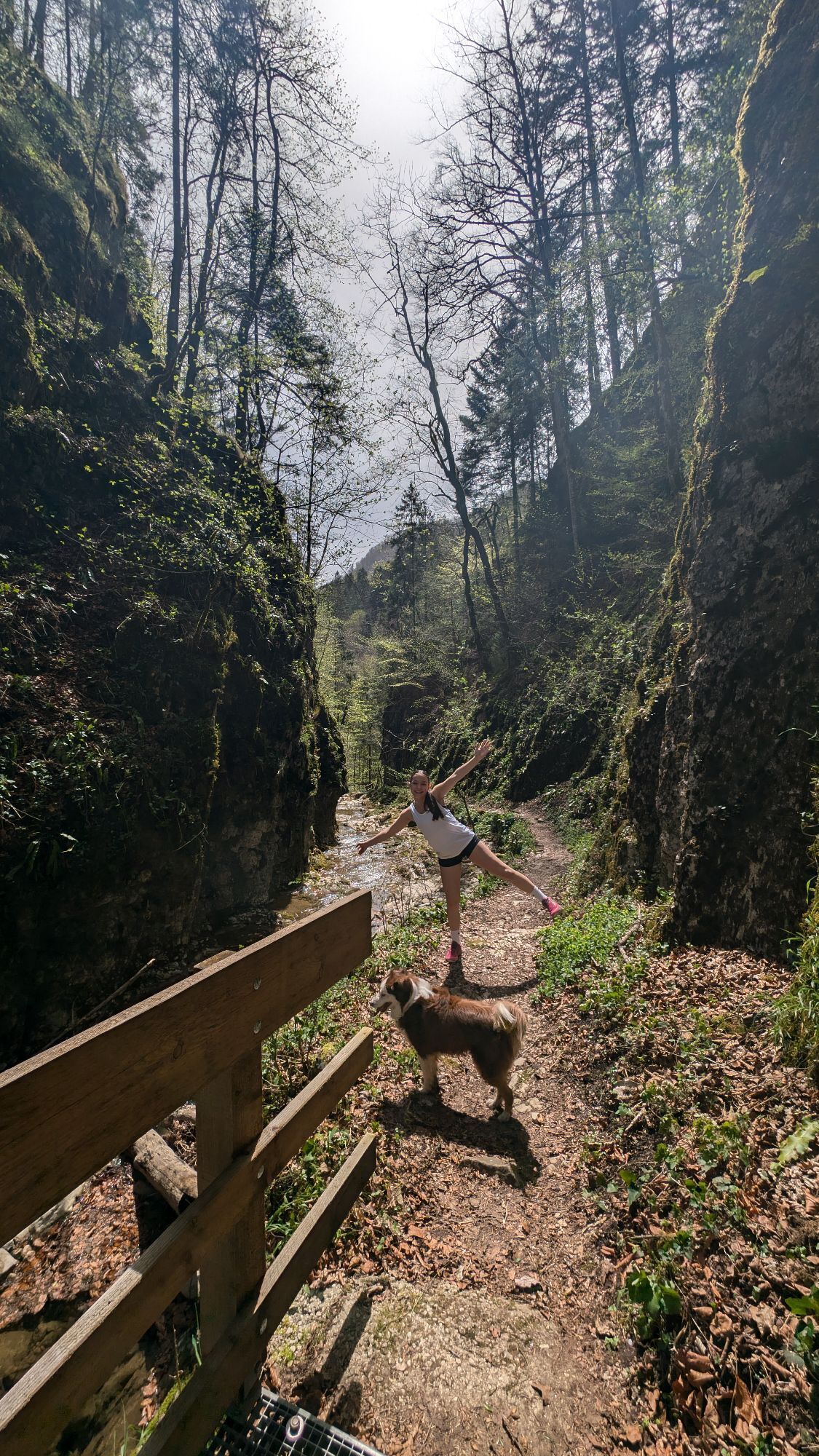
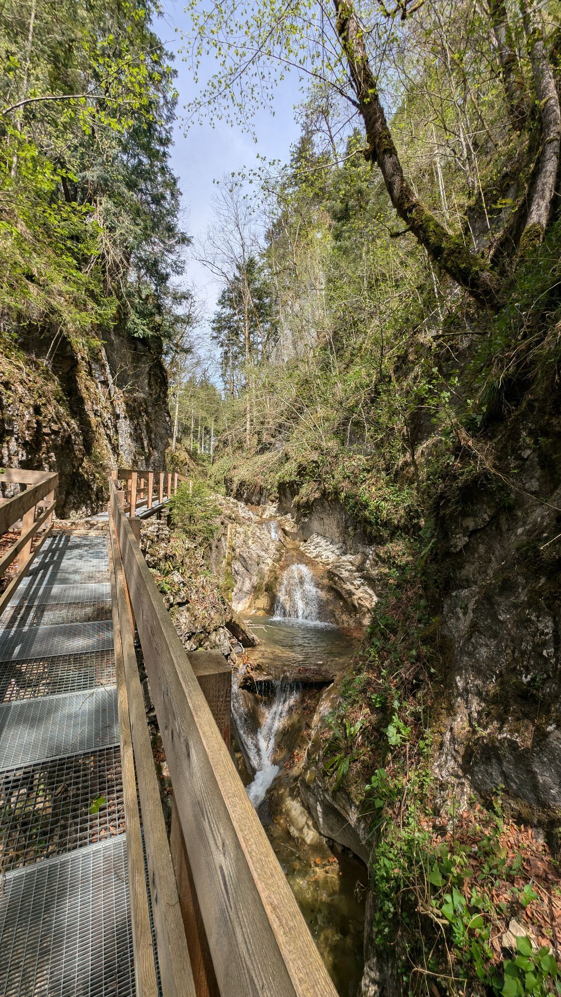
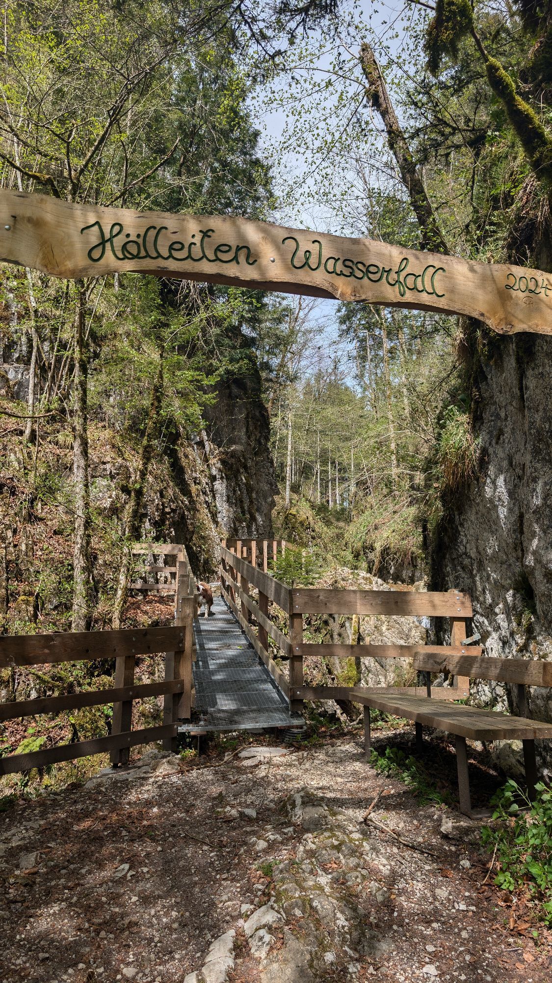
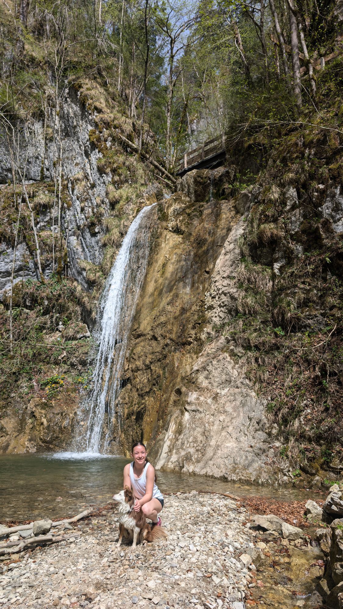
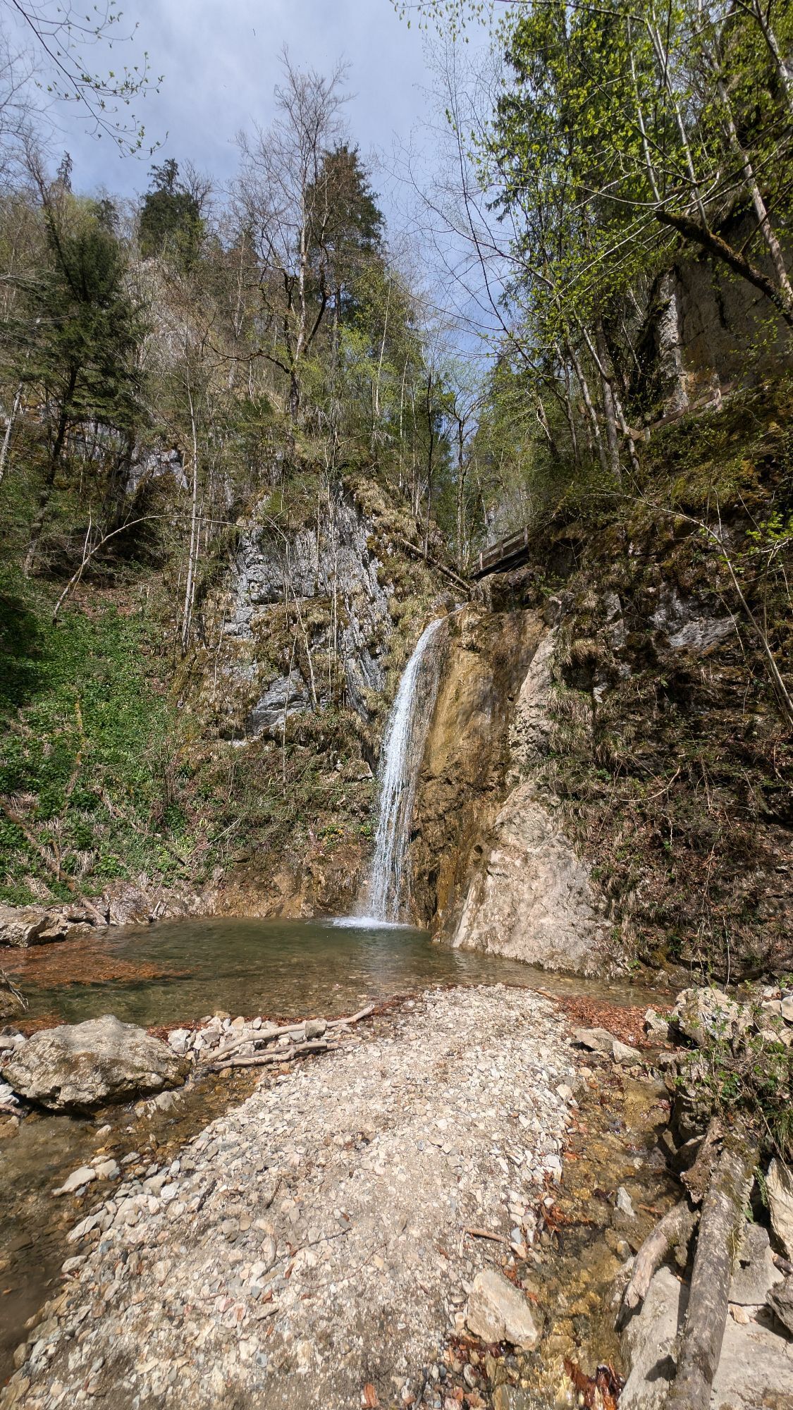
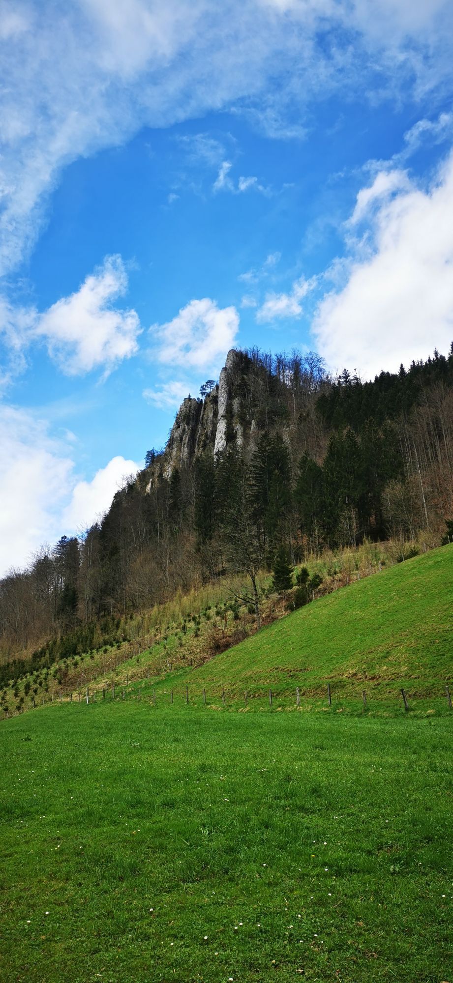
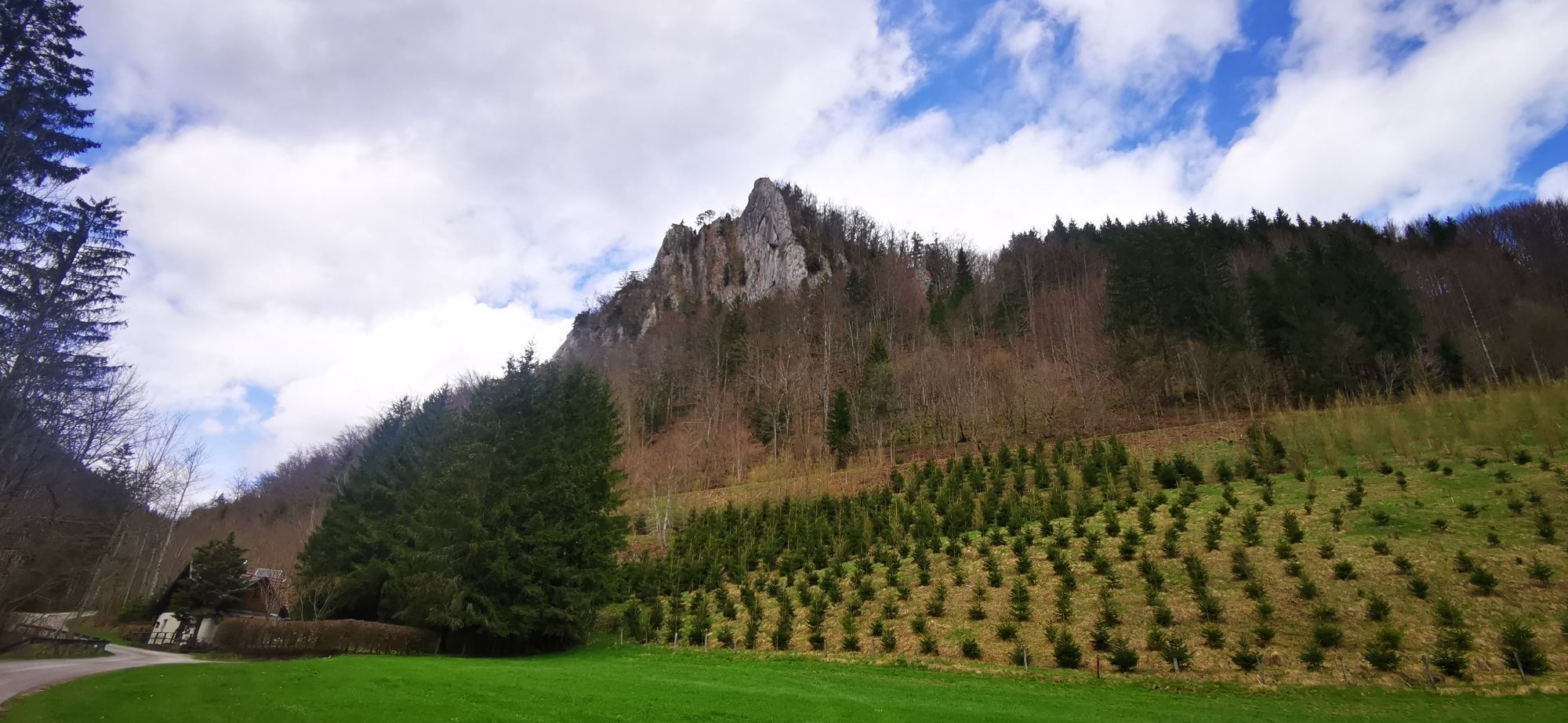
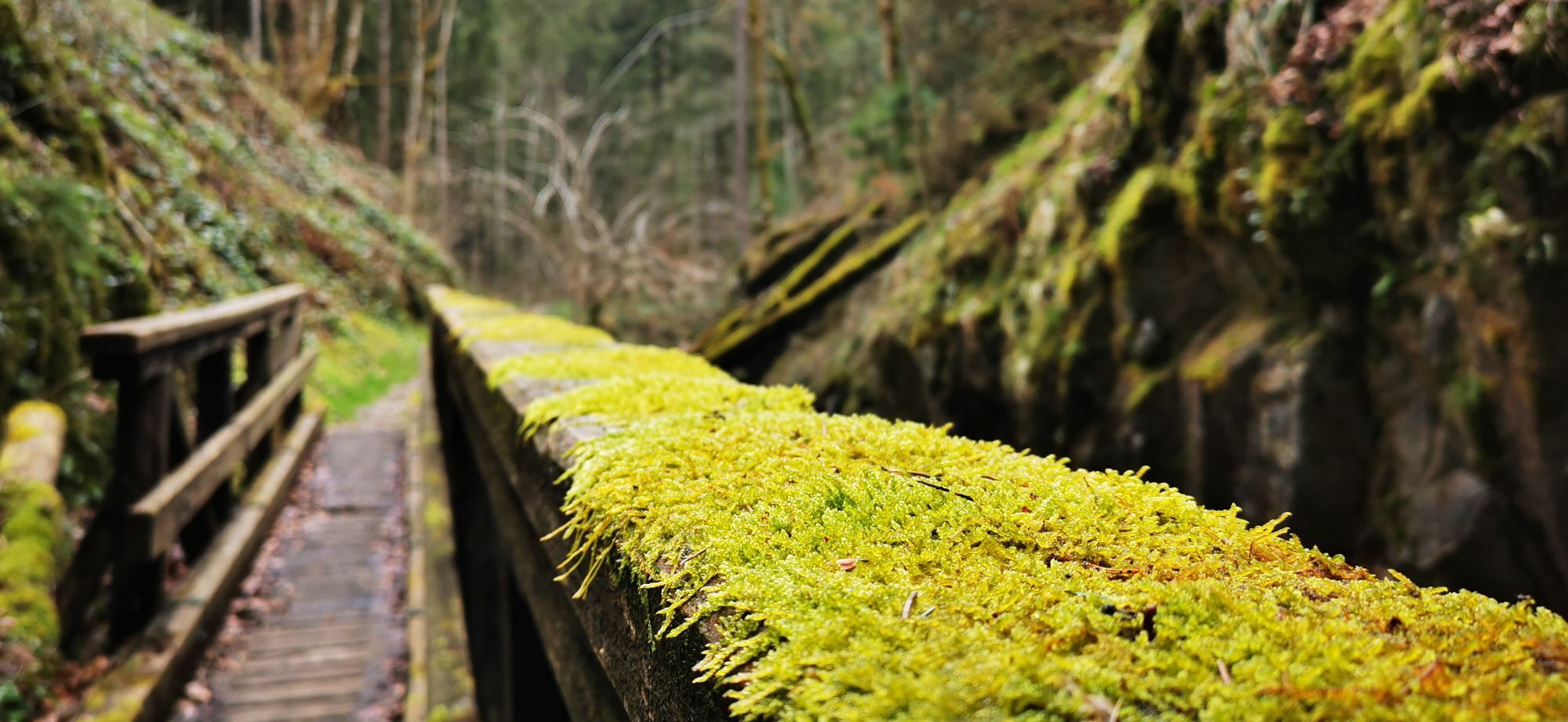
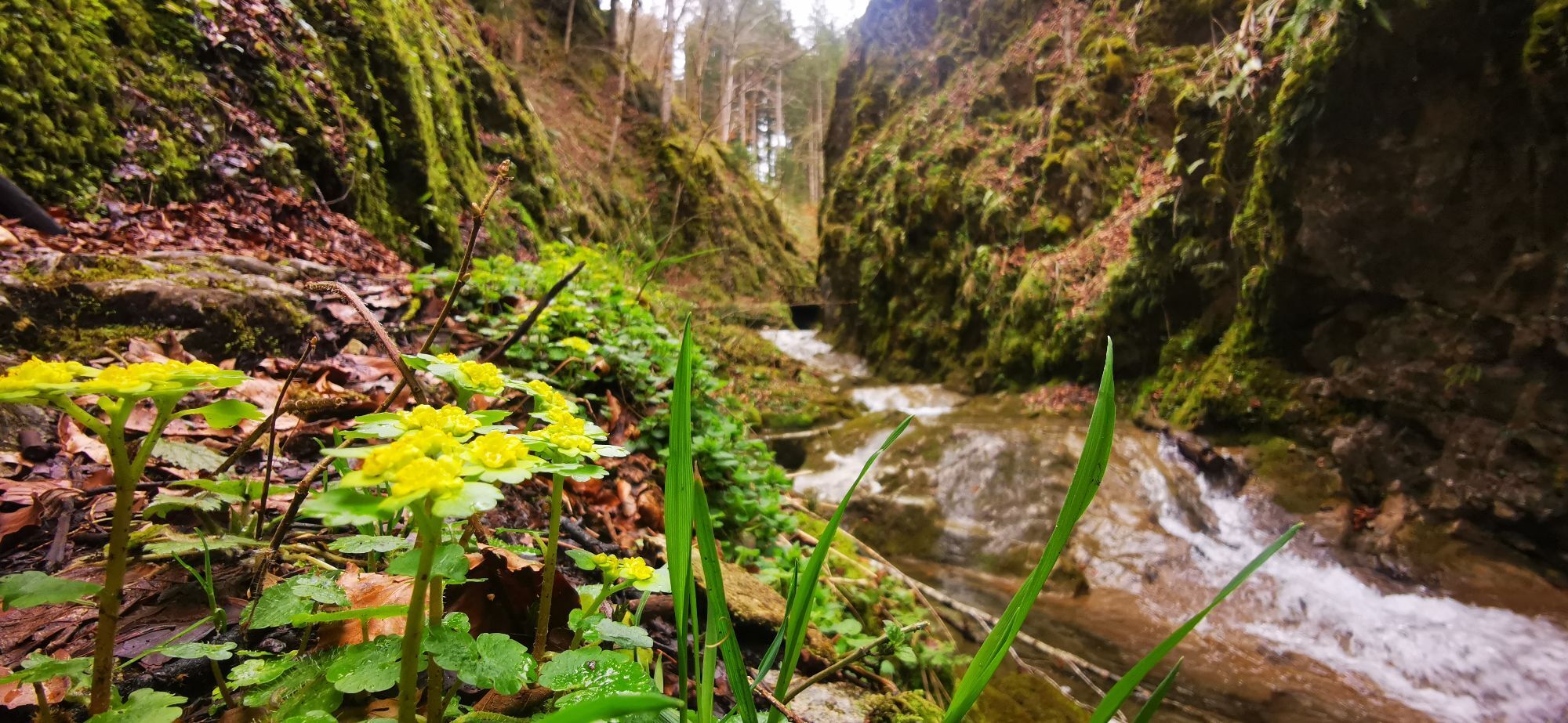
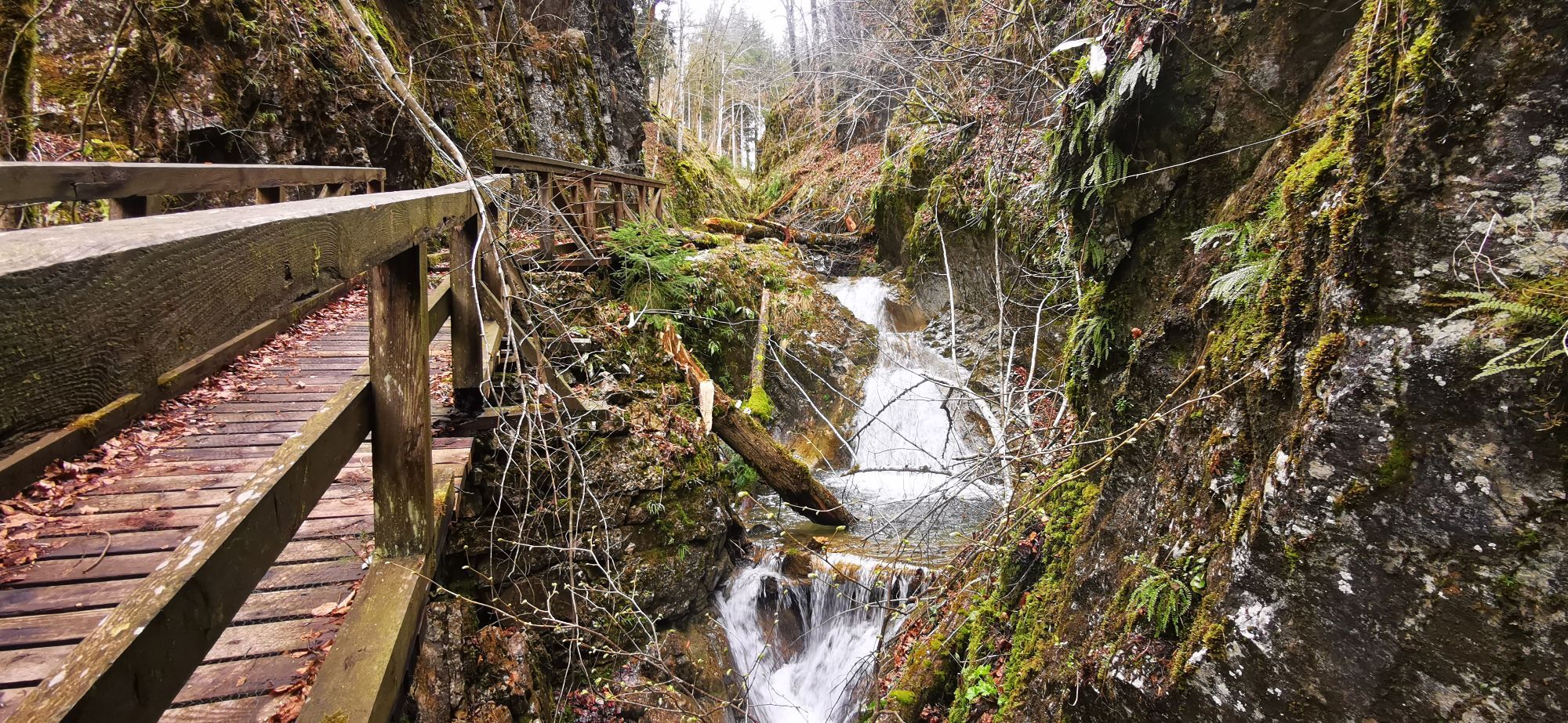
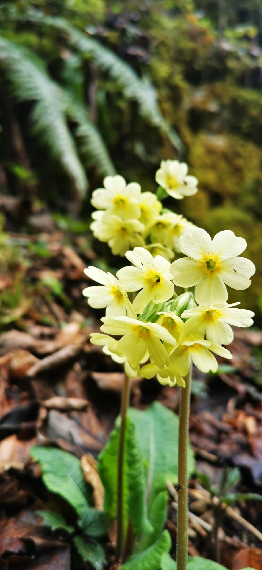
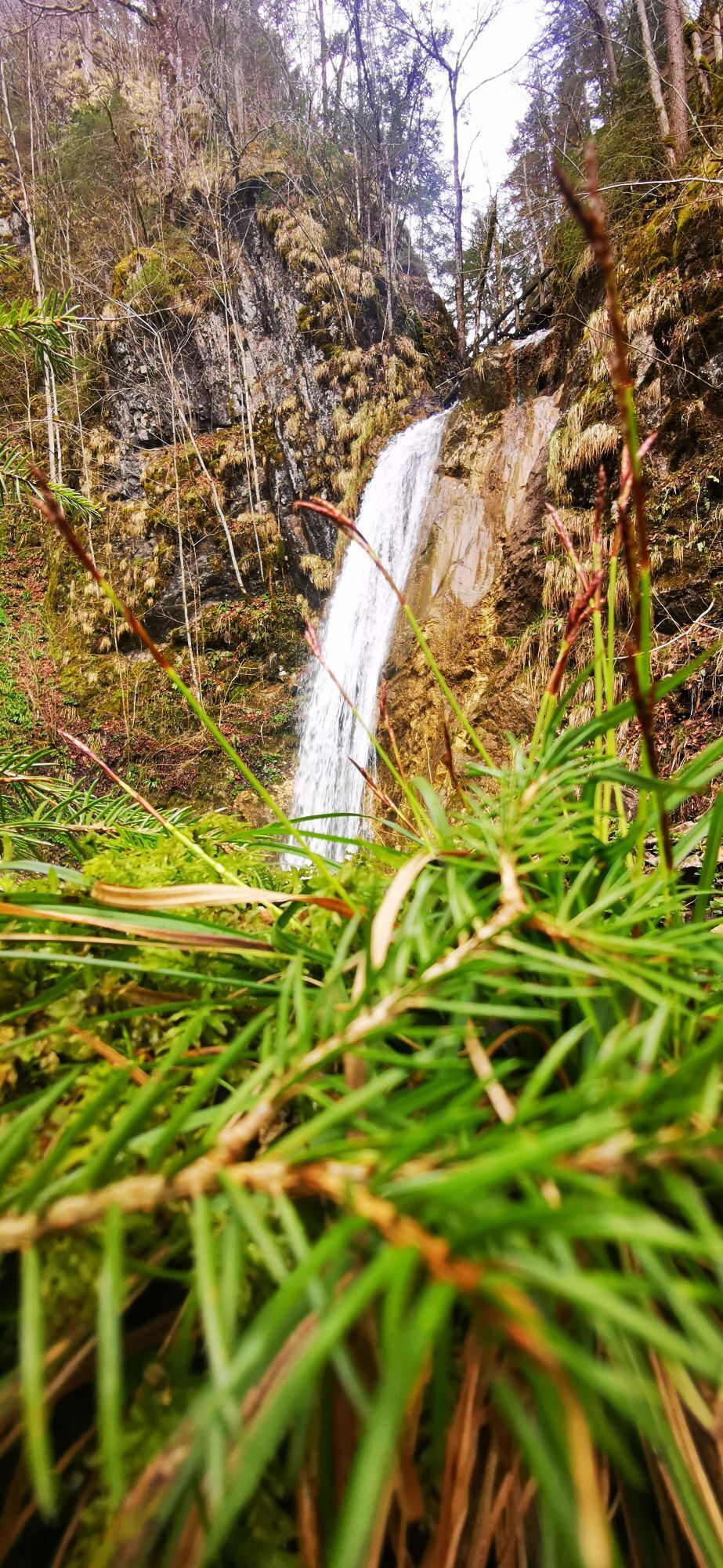
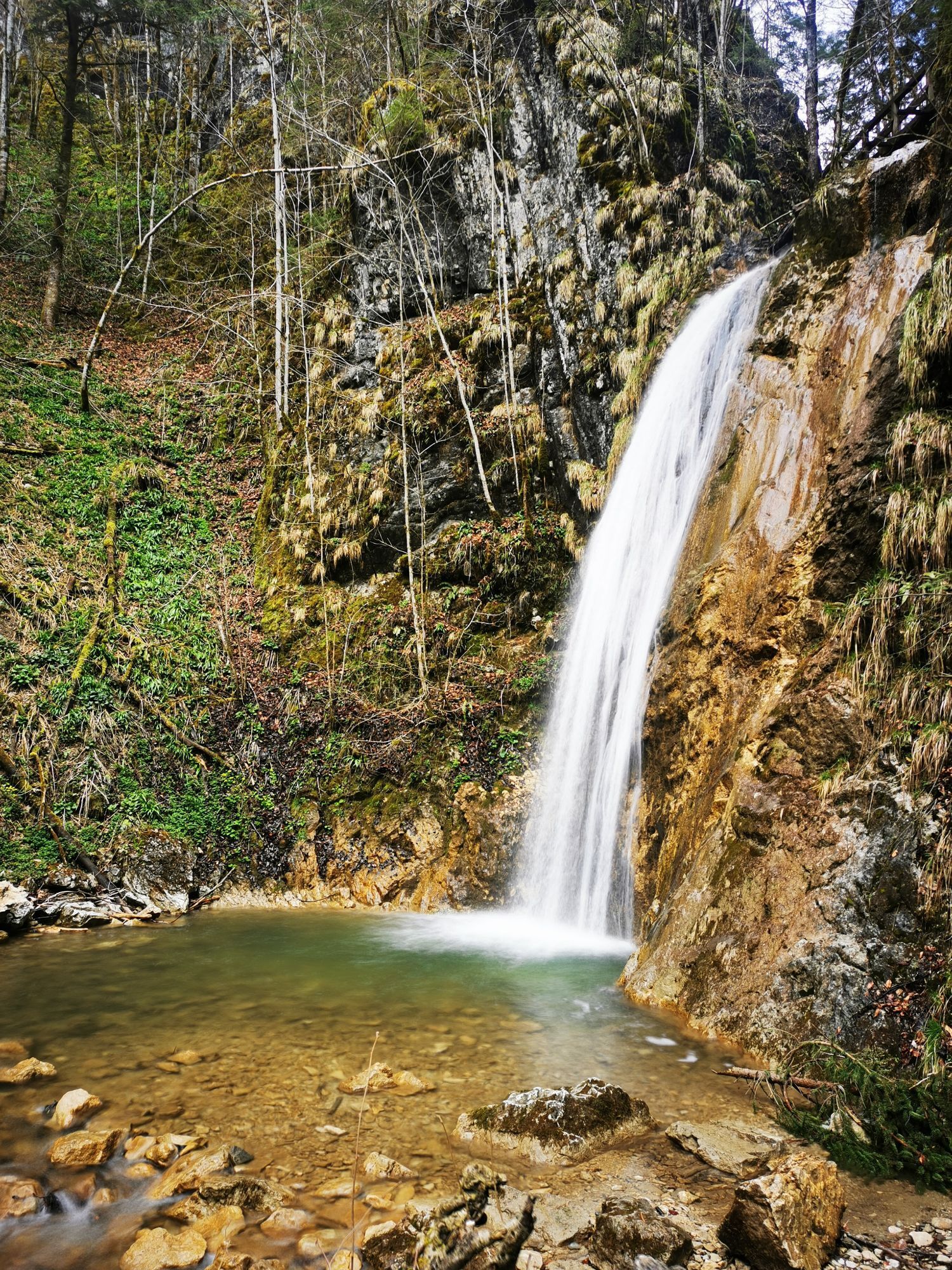
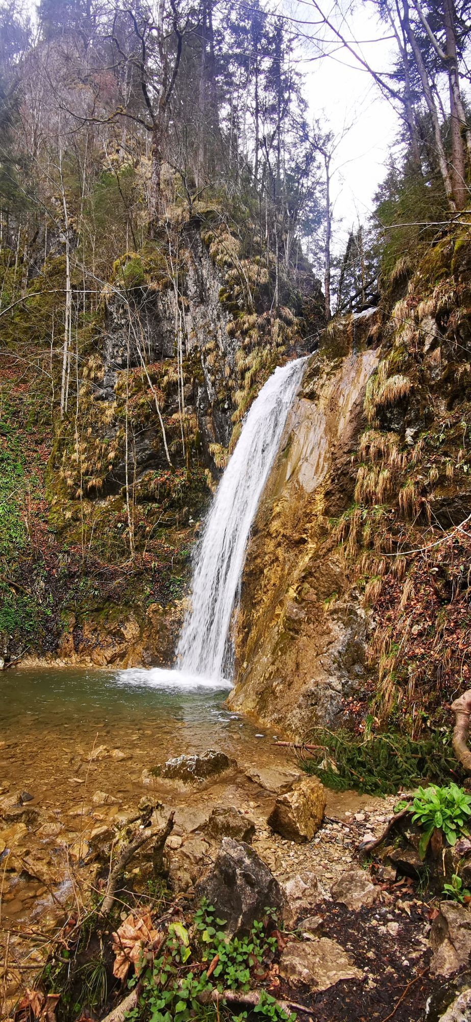
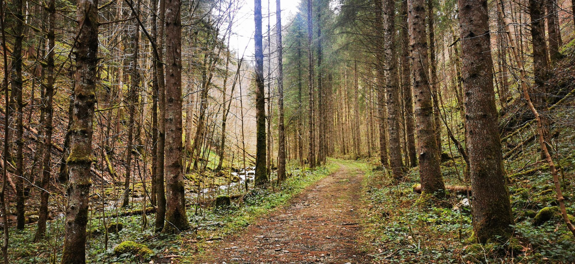
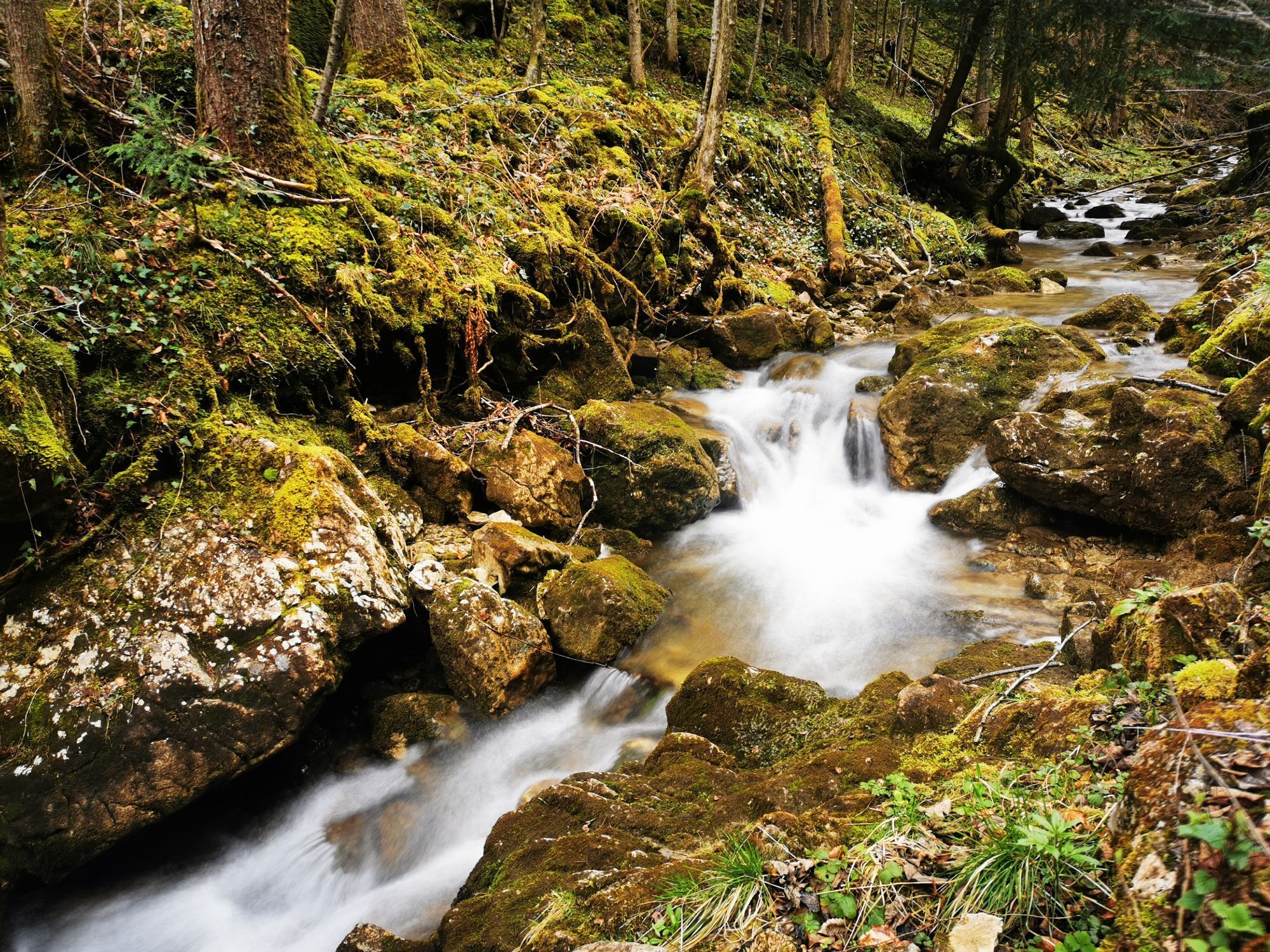
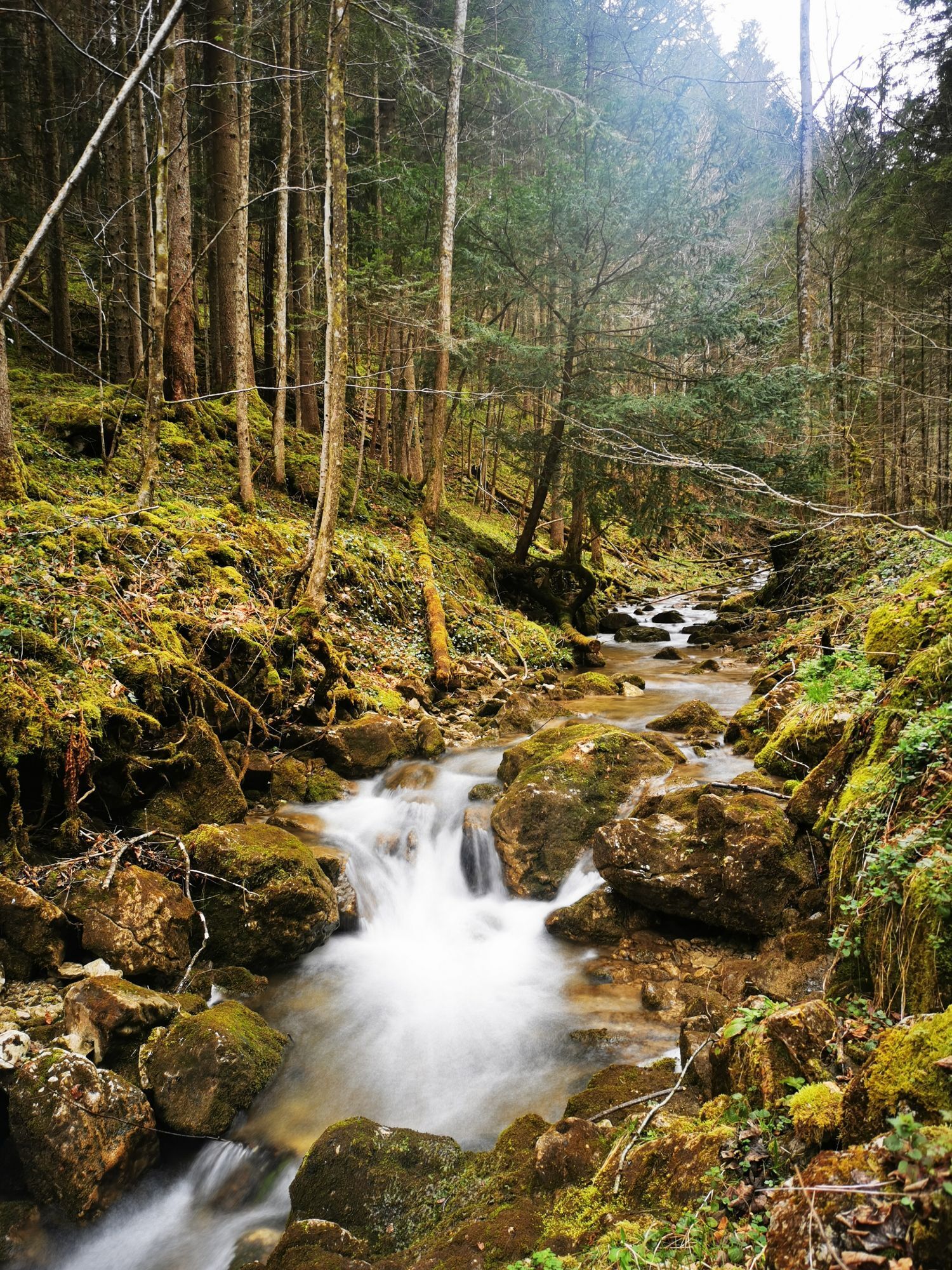
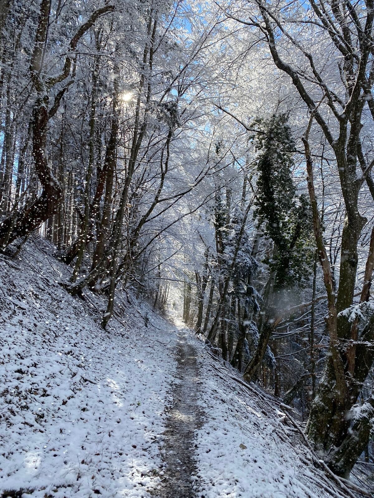
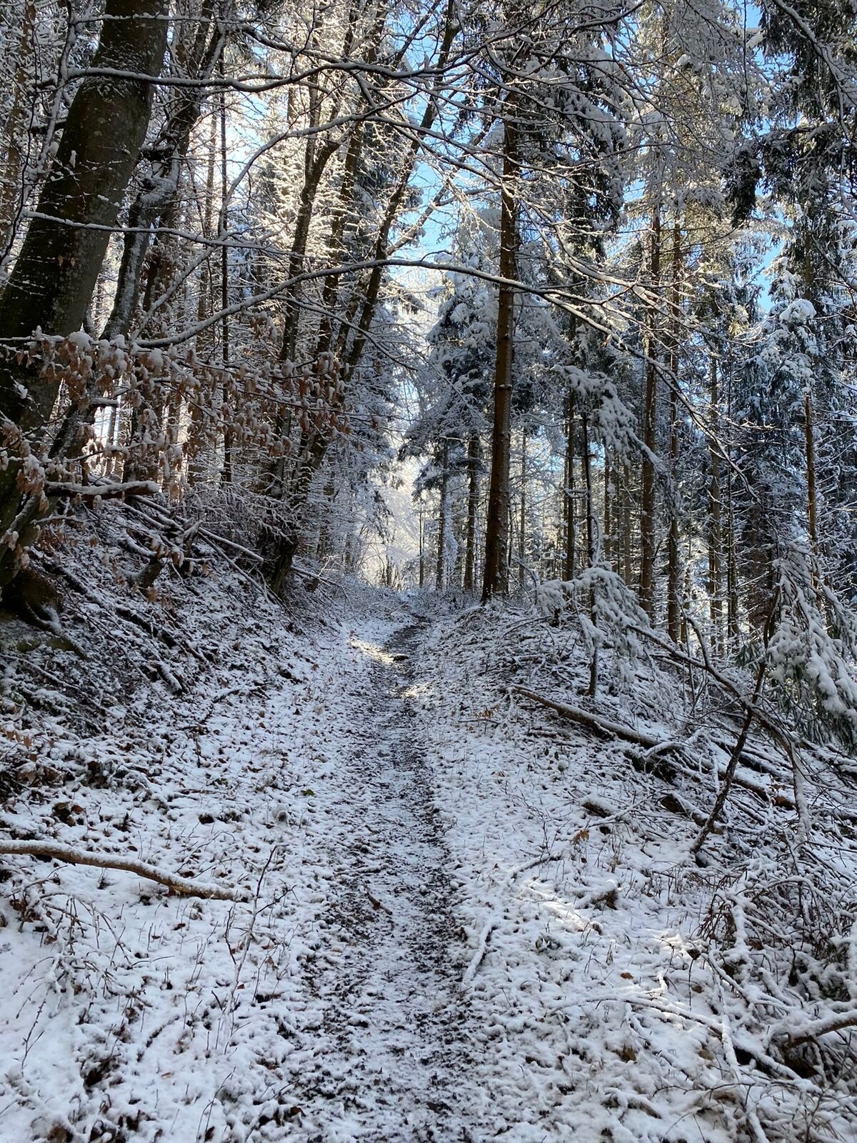
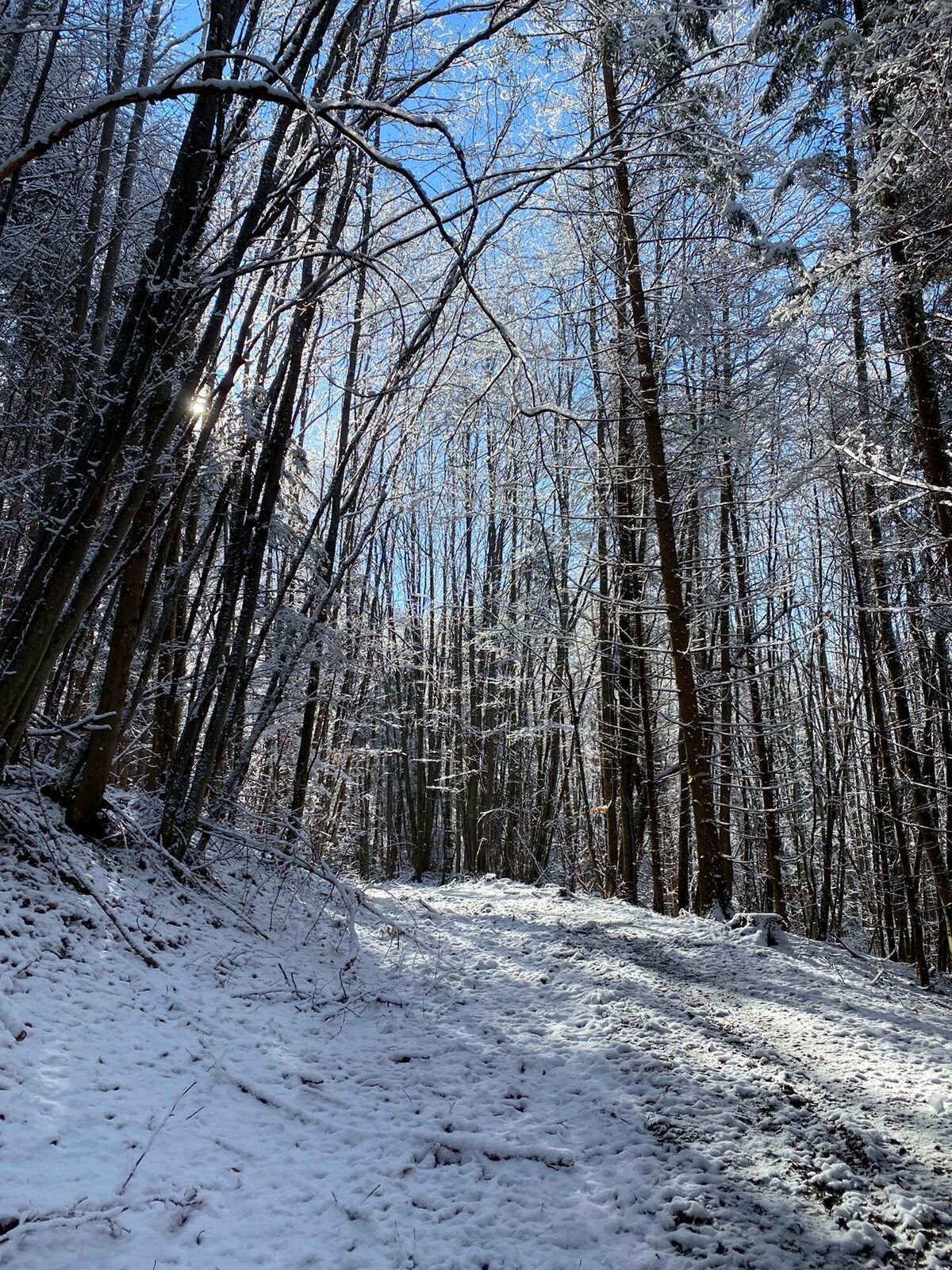
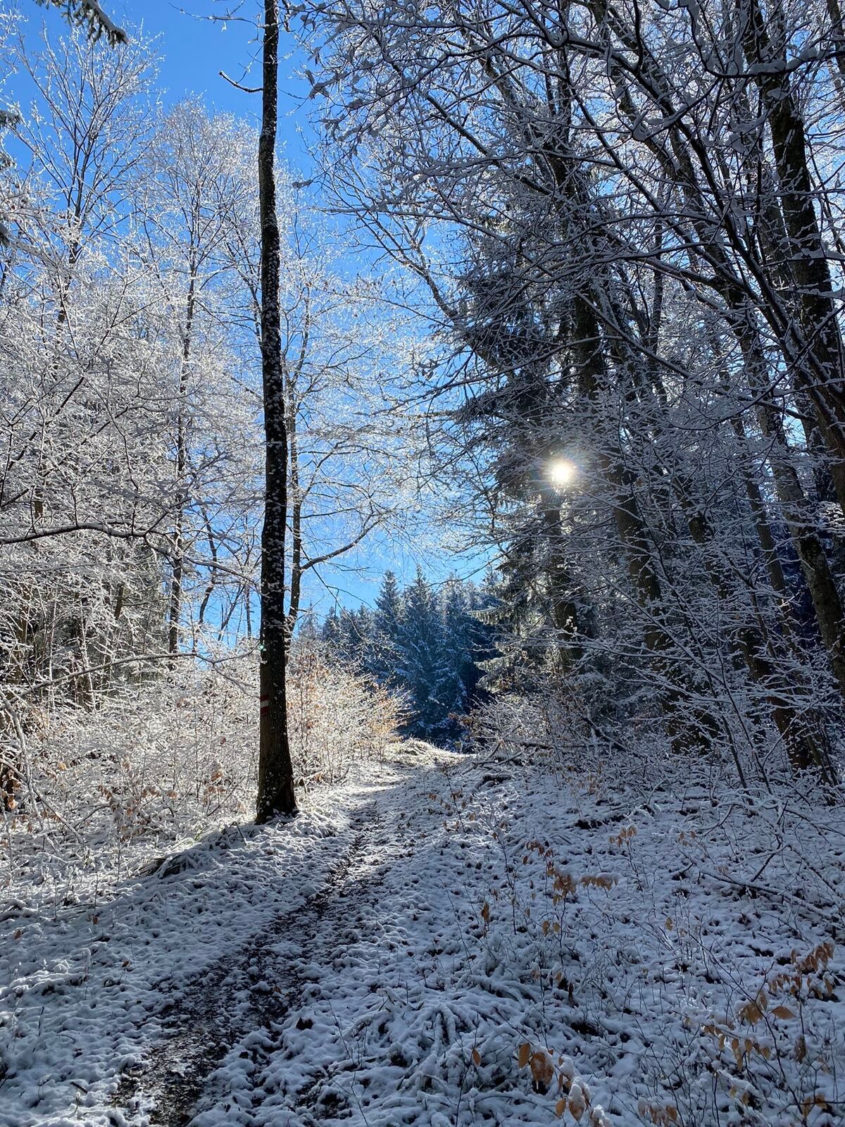
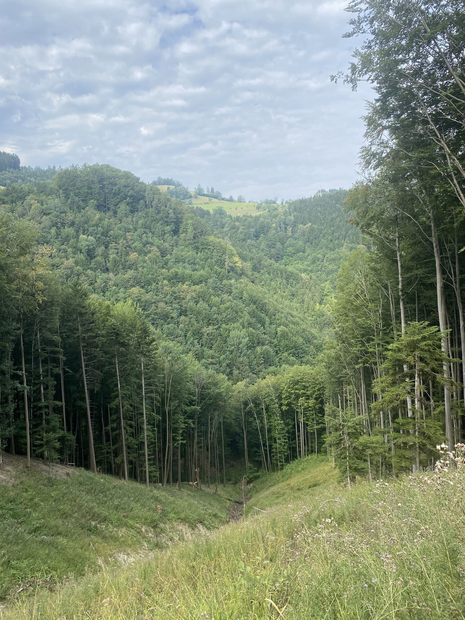
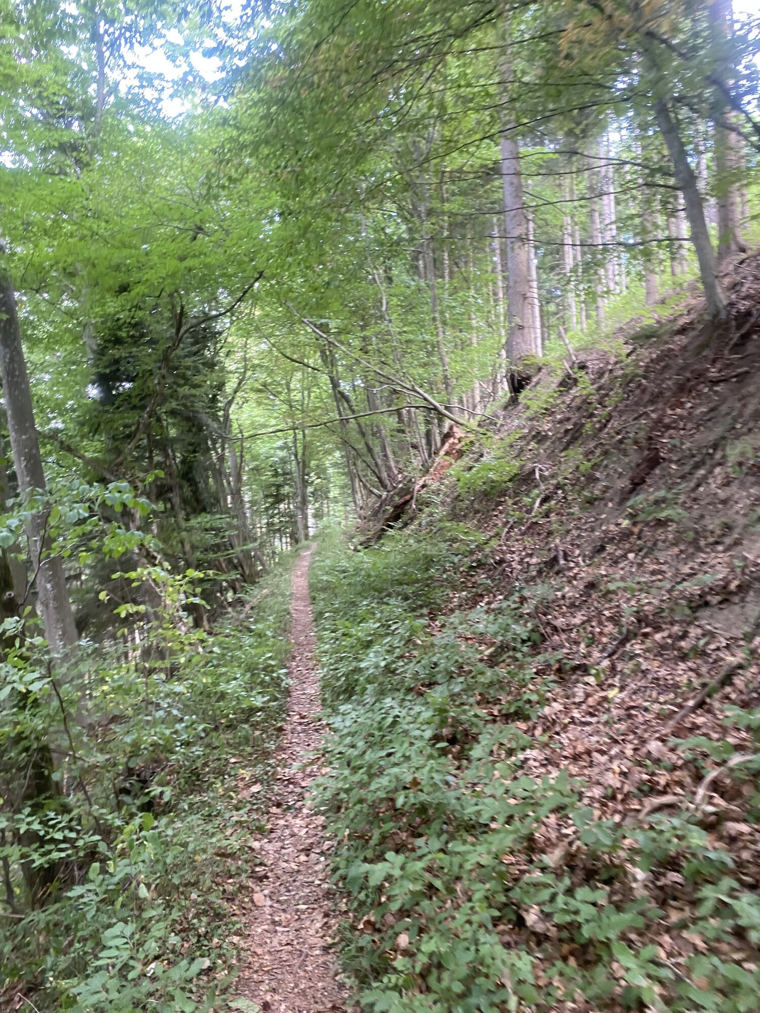
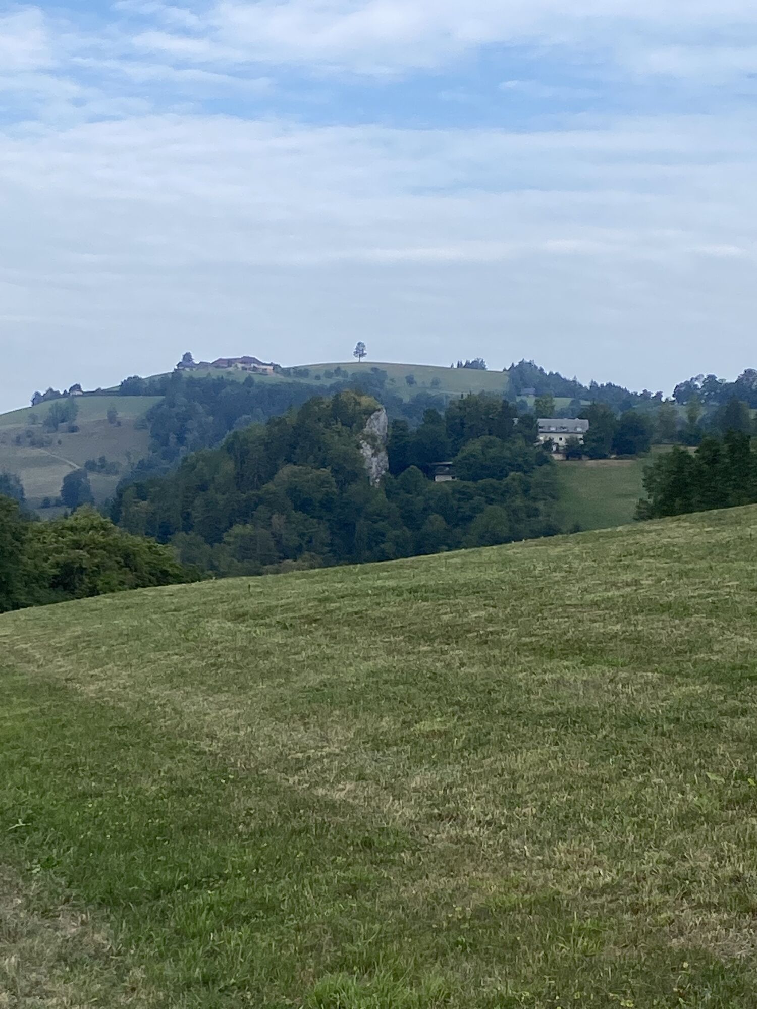
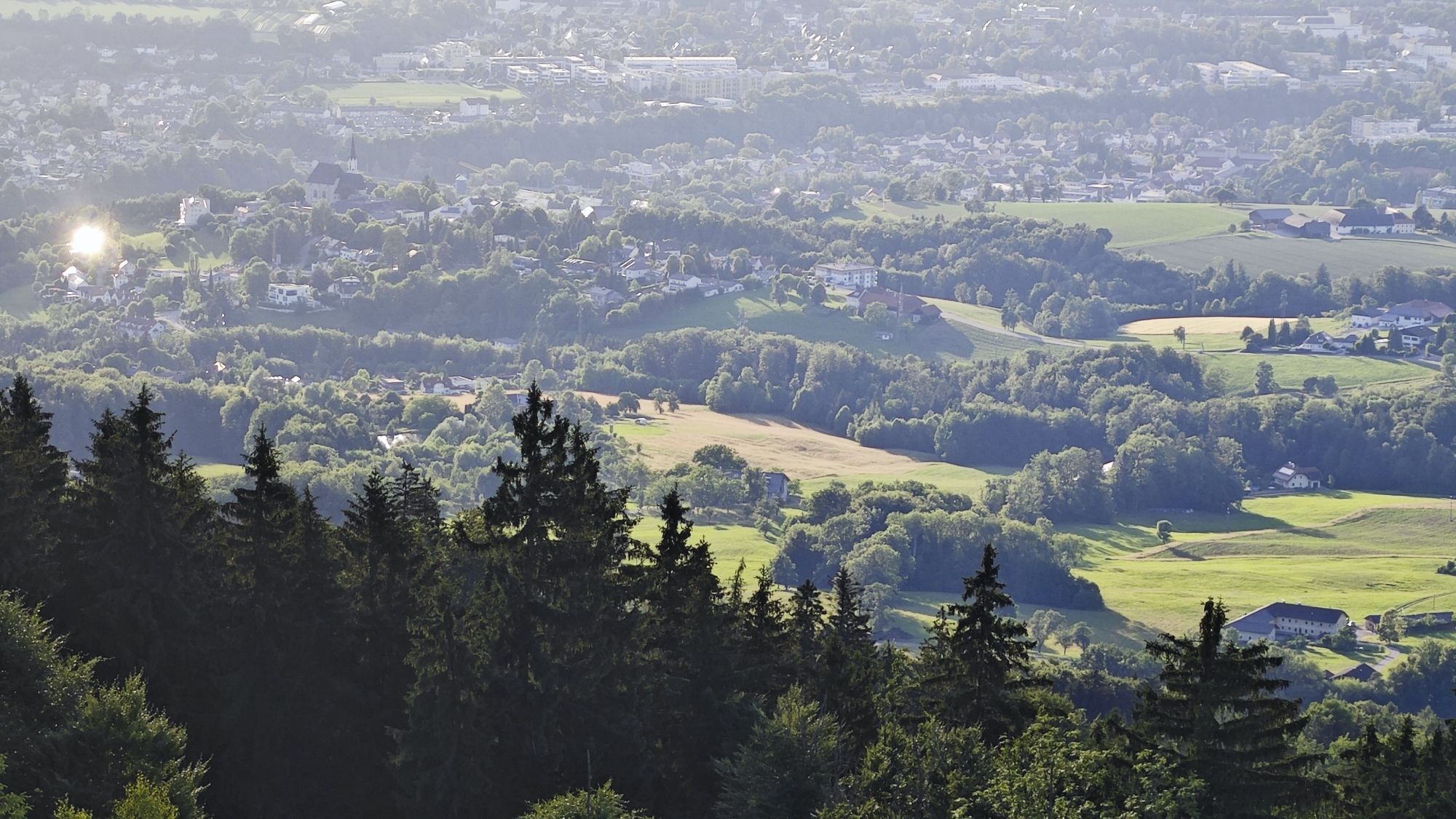
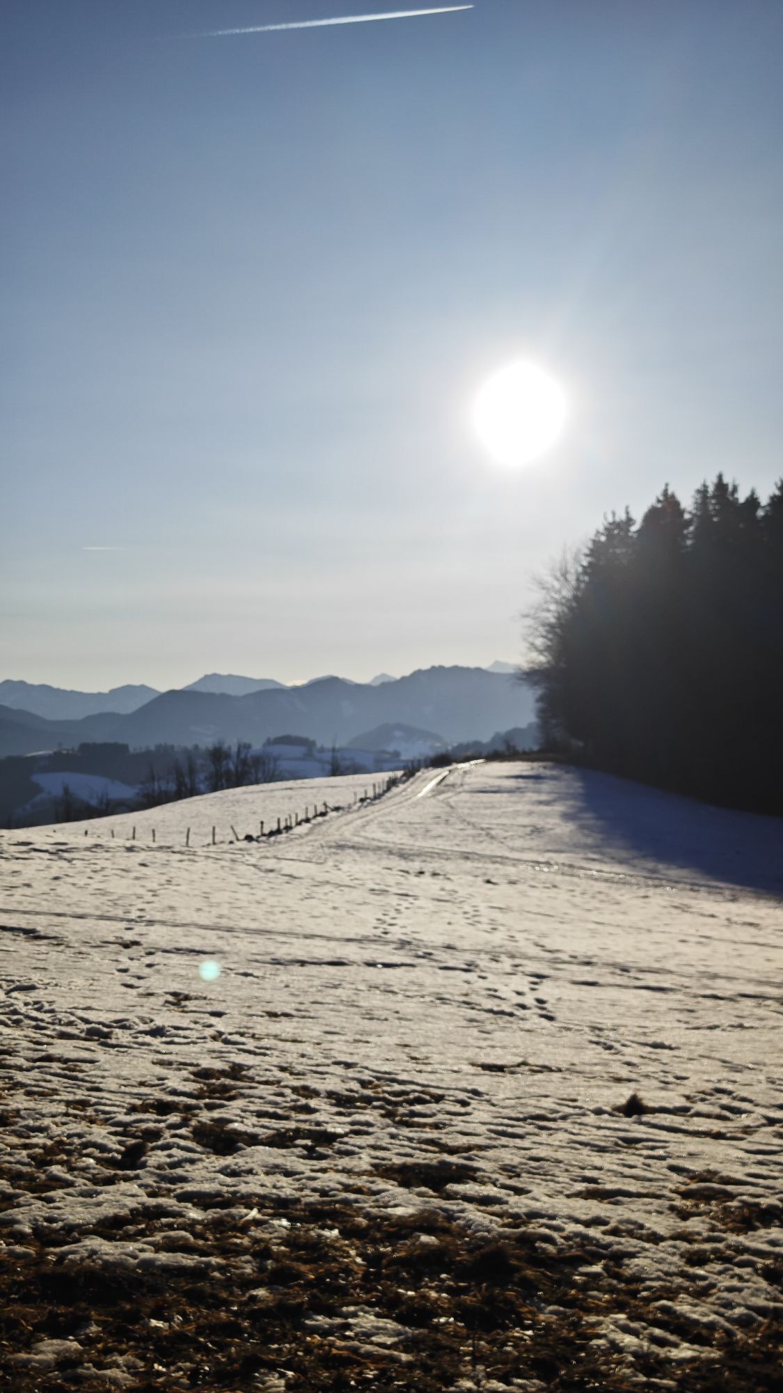
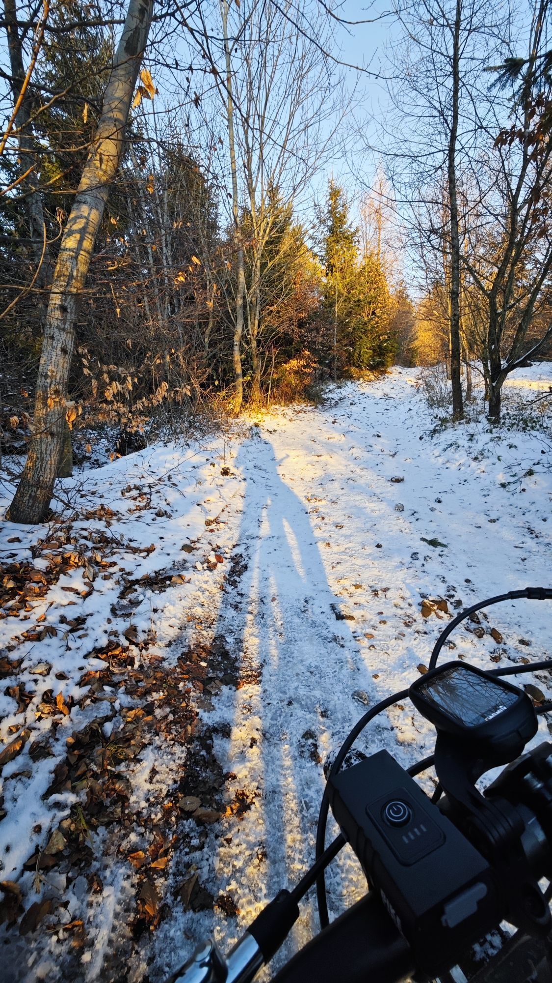
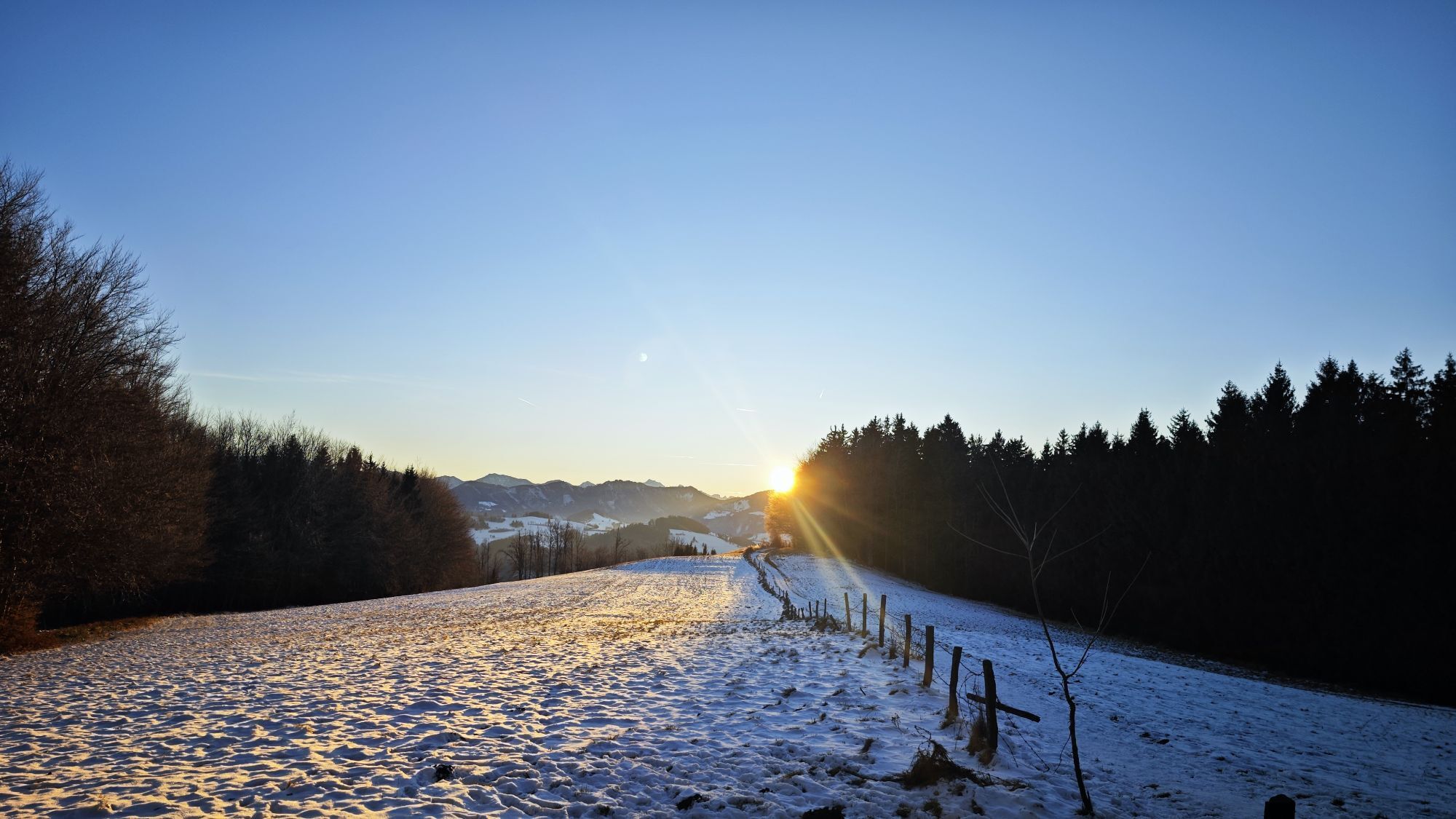
From Garsten, it goes through the Dambach valley further to Laussa and over the Schiffthalerhöhe and the Pechgraben to Großraming.
Hiking trail: E96

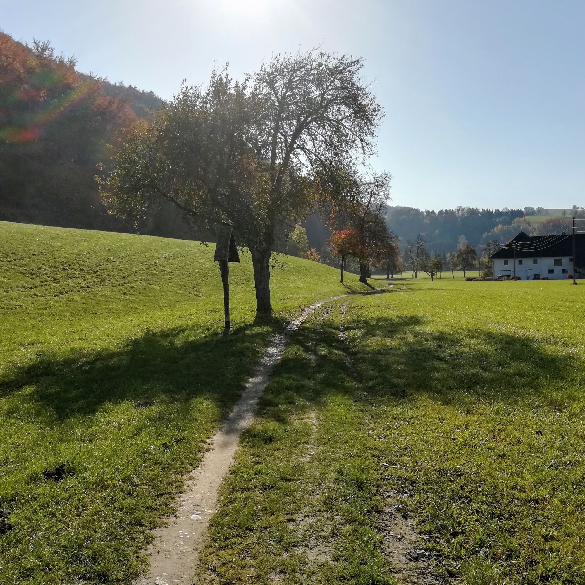
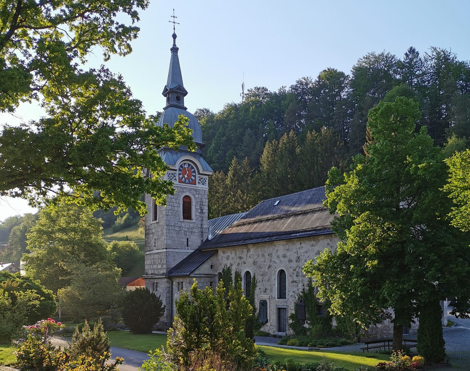
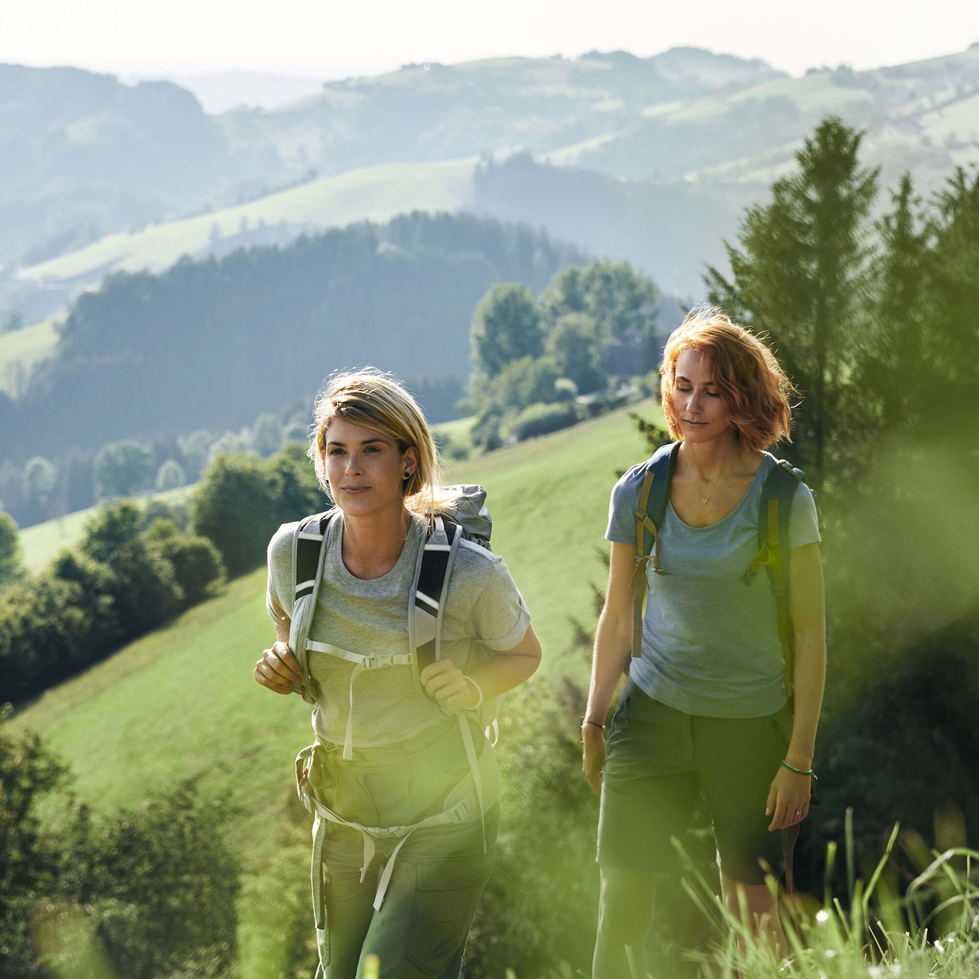

From the Garsten town hall, the path leads over the Garsten power plant to the Landhotel Eckhard. From Eckhard we walk into the Dambach to the Weidmann inn. Now it continues first on a farm track, later on a footpath to Rumpl height. Down an asphalt road to Langenstein, then turn left and down a footpath into Scharleiten, onwards to Breit and on a meadow path down to Laussa.
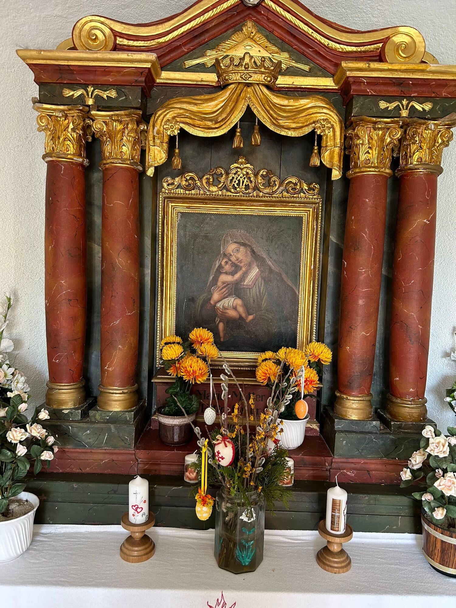
Now to Kogl castle, then turn left towards the Schöffthaler chapel, after the chapel continue to Hollnbuchner and on a beautiful path to Feichtbauern. Then on a farm track down to Wolkerlmauer. It continues down into the Pechgraben and we can either turn right onto the district road to Großraming or turn left and hike to the book monument.
From Vienna: A1 motorway exit Haag > B42 > B122 > B115 into the Enns Valley
From Passau: A8 Passau > Wels > A1 motorway exit Enns-Steyr > B115 into the Enns Valley
From Graz: A9 Pyhrnautobahn > motorway exit Klaus > Grünburg > into the Ennstal Valley
Details at www.ooevv.at
Railway Stations are located in Steyr, Garsten, Lahrndorf, Dürnbach, Ternberg, Trattenbach, Losenstein, Reichraming, Großraming, Gaflenz, Weyer, Küpfern, Kastenreith, Kleinreifling and Weißenbach-St. Gallen.
Garsten/parking lots at the outdoor pool
This path was used in long past times by the rafters of the Ennstal when, after a strenuous raft trip, they marched back from Steyr to the Ennstal to Kastenreith or Hieflau. They saved themselves the many meanders of the river course by using the shortest way between Garsten and Großraming.
You are therefore walking on historic paths when you take this route.
Spletne kamere s turneje
Pridobite vpogled
Vedno v živo na mestu z več kot 9.500 spletnimi kamerami. bergfex Kot uporabnik Pro si lahko zdaj ogledate ustrezne spletne kamere za številne izlete v aplikaciji izleti iz. Tako si lahko neposredno ogledate trenutne razmere.
Priljubljeni izleti v okolici
-
4.9
Ennser Hut - Almkogel (from Bamacher car park)
srednjaPohodništvo 3.53 km -
4.7
Grünburger Hut via Dorngraben Molln
srednjaPohodništvo 3.43 km -
4.6
Schoberstein (from Molln)
srednjaPohodništvo 3.63 km -
4.8
Steinerner Jäger (1185m) und Schieferstein (1206m) ab Parkplatz Hochhabichler
srednjaPohodništvo 4.46 km -
4.7
GROSSRAMING Bamacher, Burgspitz, Almkogel, Ennshütte 20240730
srednjaPohodništvo 10 km -
4.7
Steinerner Jäger (1185m) und Schieferstein (1206m) ab Parkplatz Hack
težkoPohodništvo 8.58 km -
4.6
Dürres Eck - Gaisberg - Hochbuchberg
srednjaPohodništvo 11.2 km -
4.6
Gamsstein (1275m) und Gschwendtalm ab Parkplatz Brunnbach
srednjaPohodništvo 7.37 km -
4.6
Pfaffenmauer - Schoberstein - Gipfel der Lust Gasthof Klausriegler, Oberösterreich/Österreich
srednjaPohodništvo 9.72 km -
4.3
Freithofberg
srednjaPohodništvo 9.15 km
Pohodništvo in sledenje


Ne zamudite ponudb in navdiha za naslednje počitnice
Vaš e-poštni naslov je bil dodan na poštni seznam.





