







Sebaldusweg | 4 daily stages

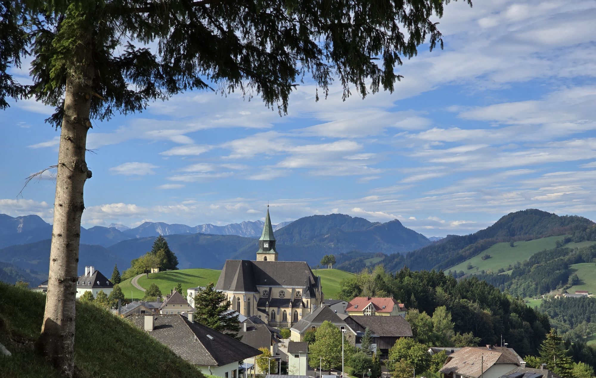
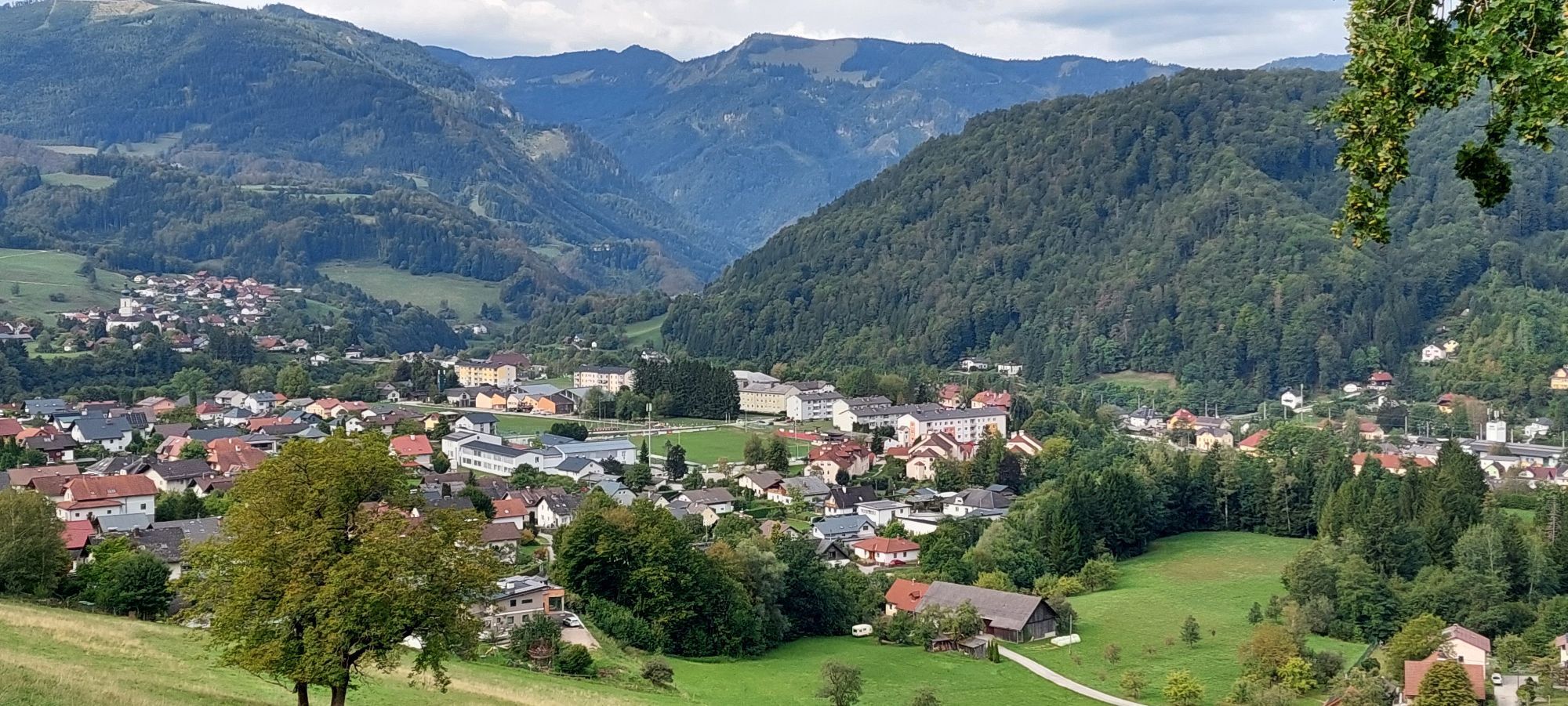
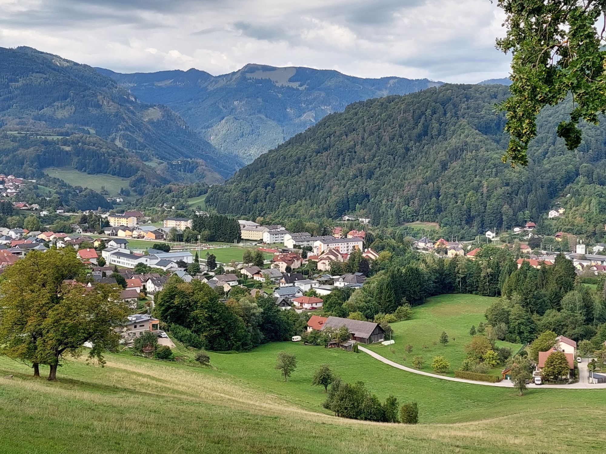
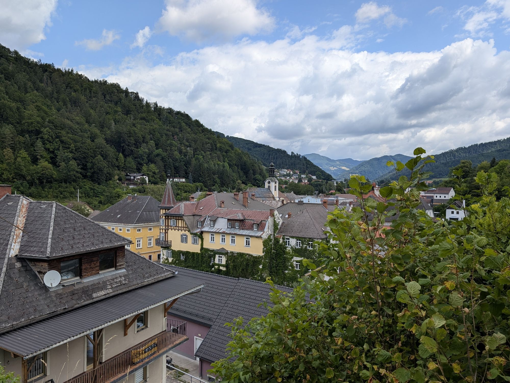
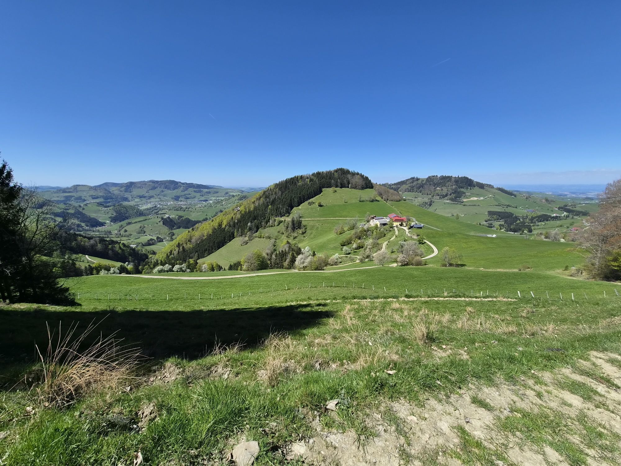
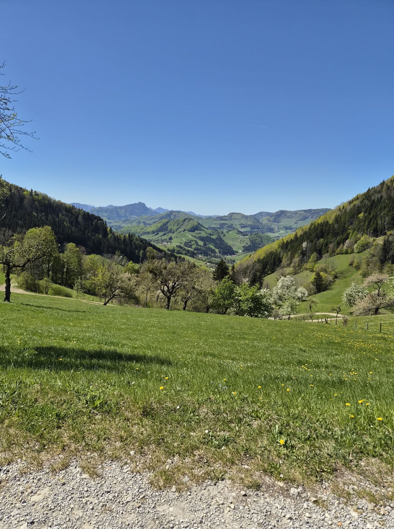
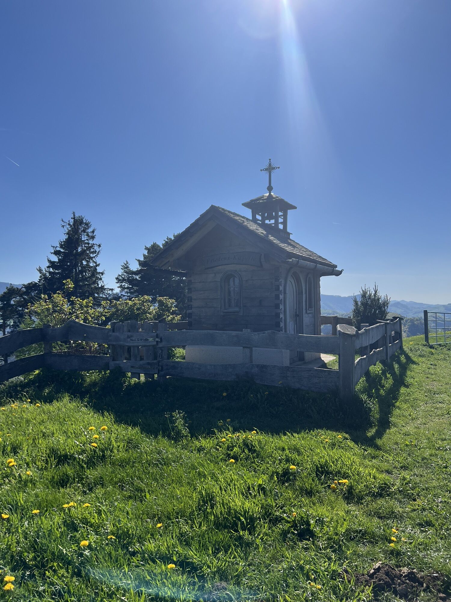
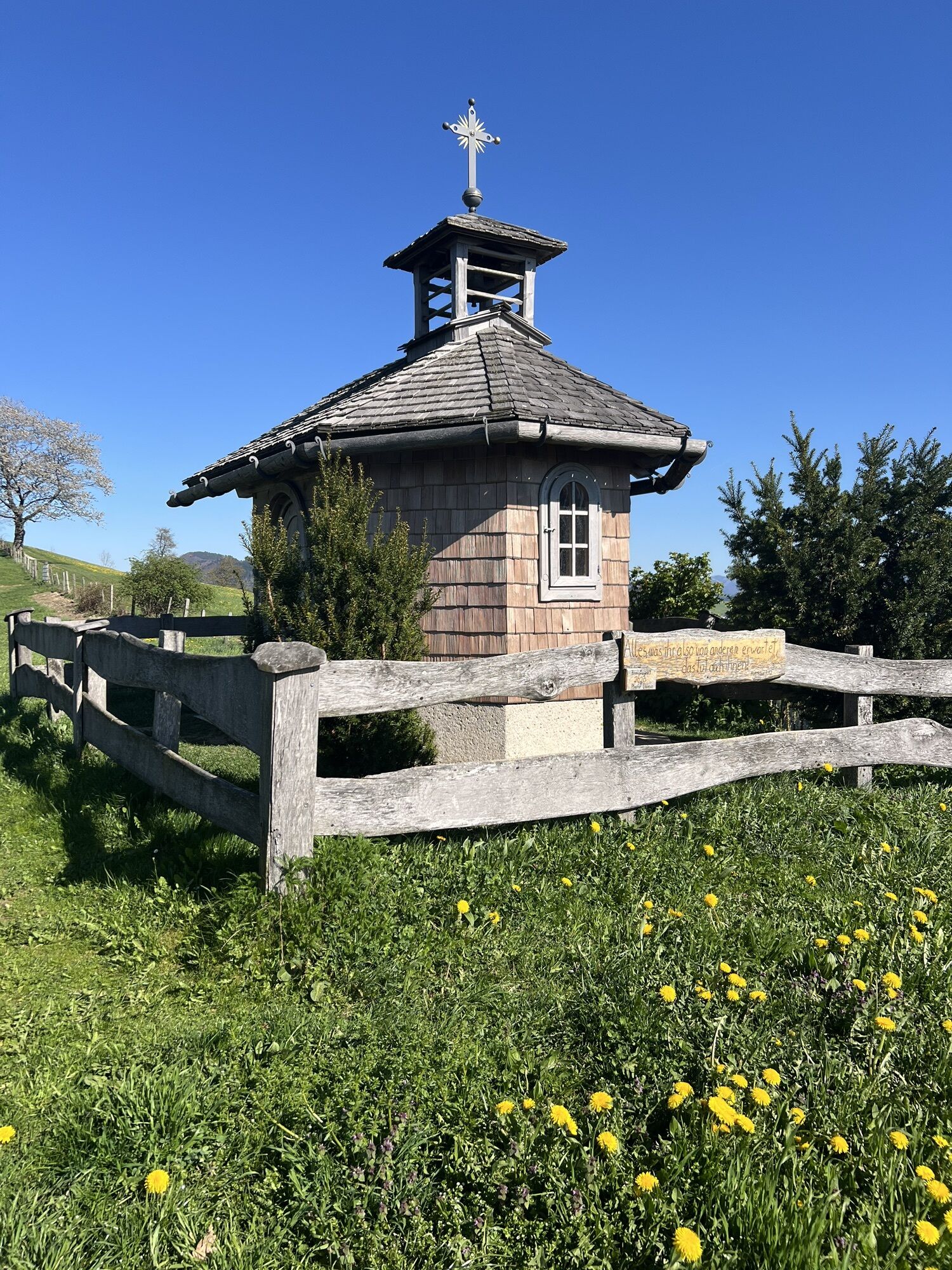
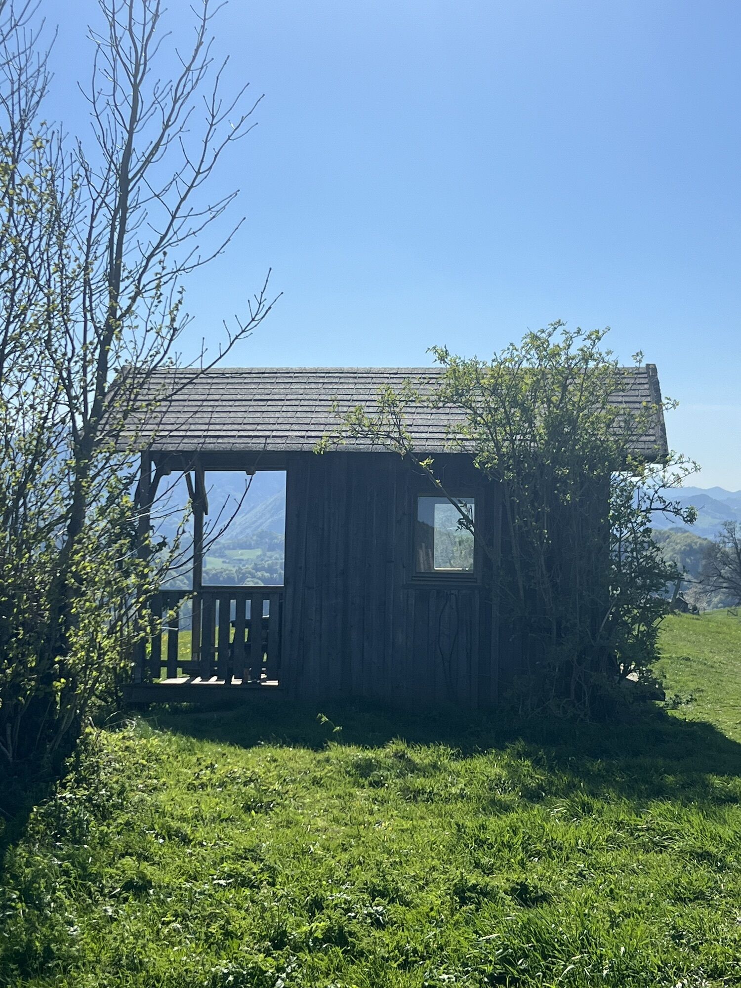

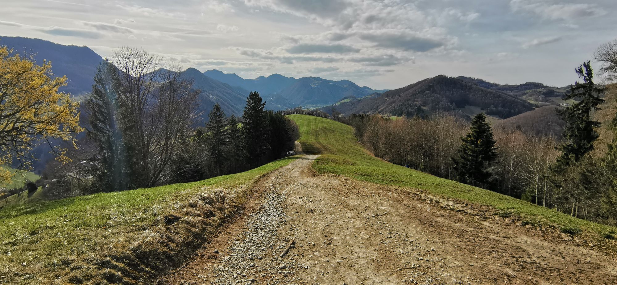
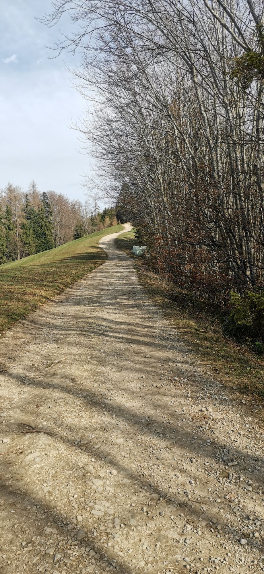
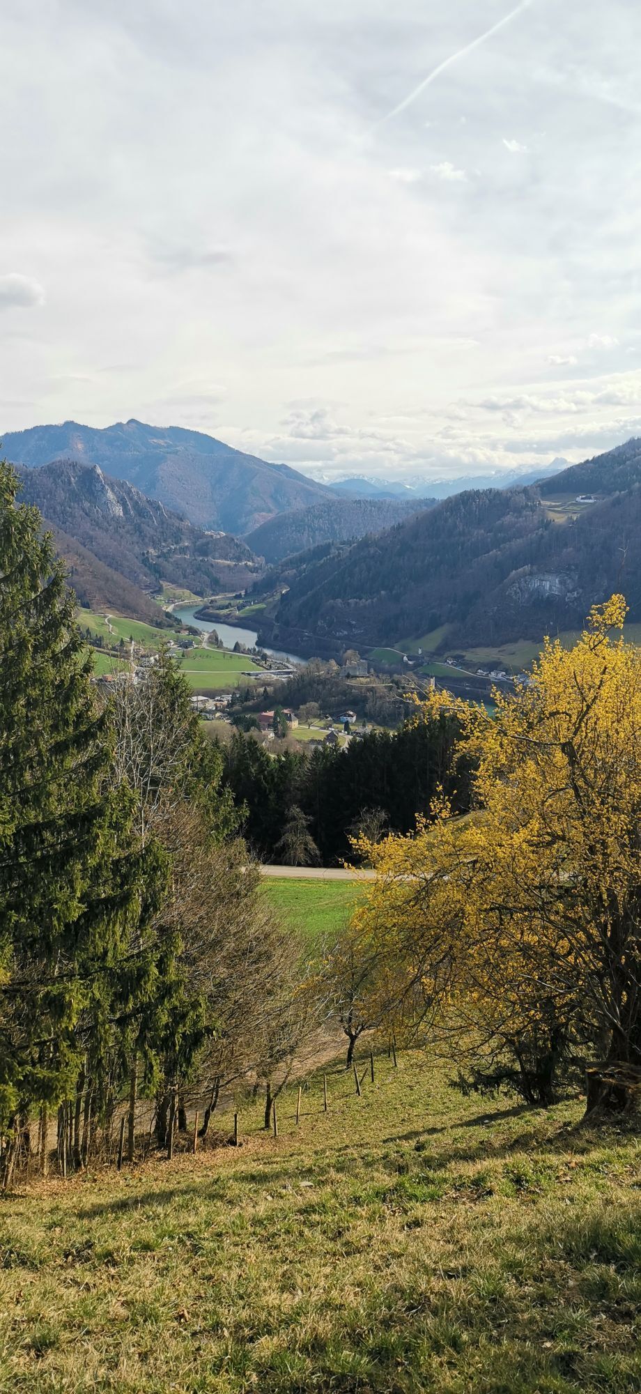
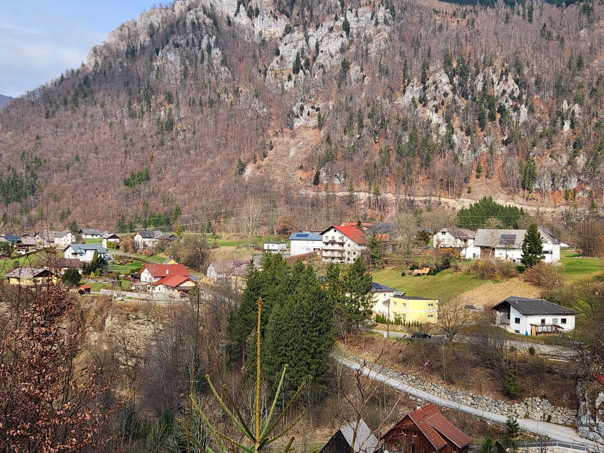
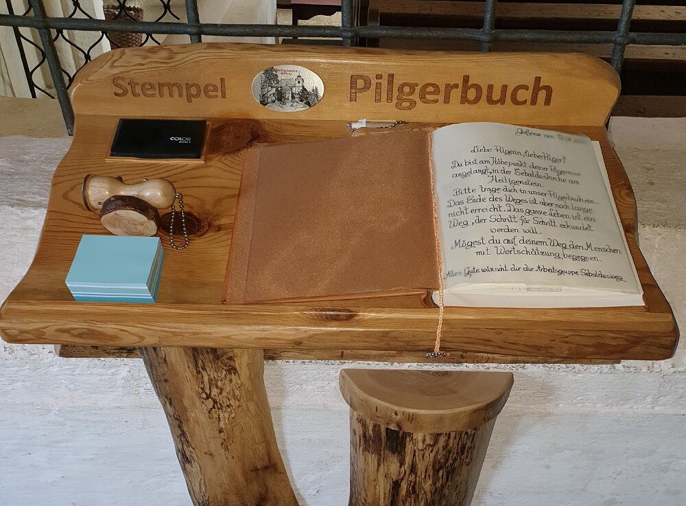
The theme of appreciation accompanies the pilgrim at every station; practical impulses help to adopt an appreciative basic attitude oneself and learn to make others strong and become stronger oneself,...
The theme of appreciation accompanies the pilgrim at every station; practical impulses help to adopt an appreciative basic attitude oneself and learn to make others strong and become stronger oneself, so each pilgrim can take their experiences with them.
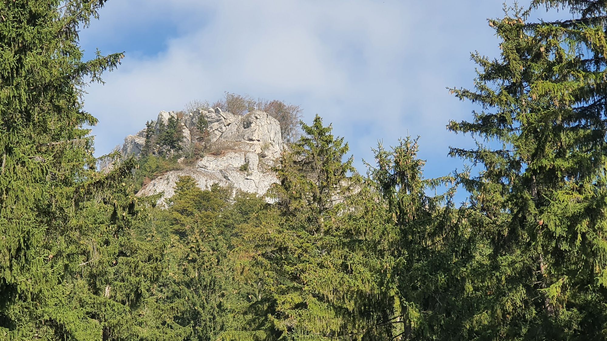
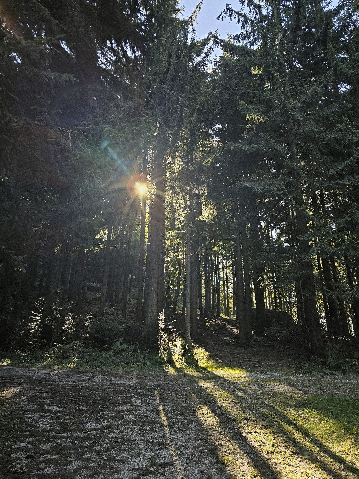
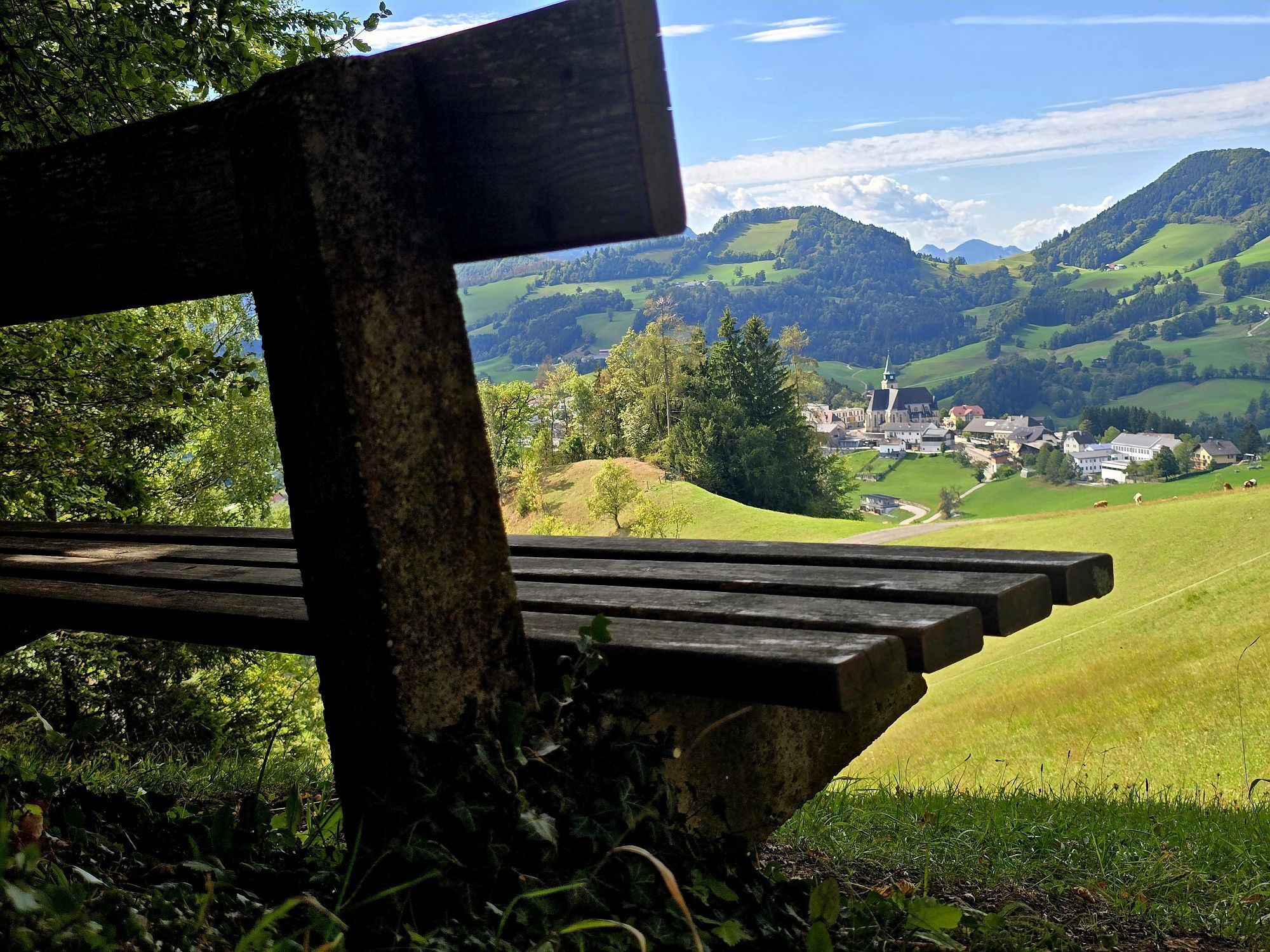
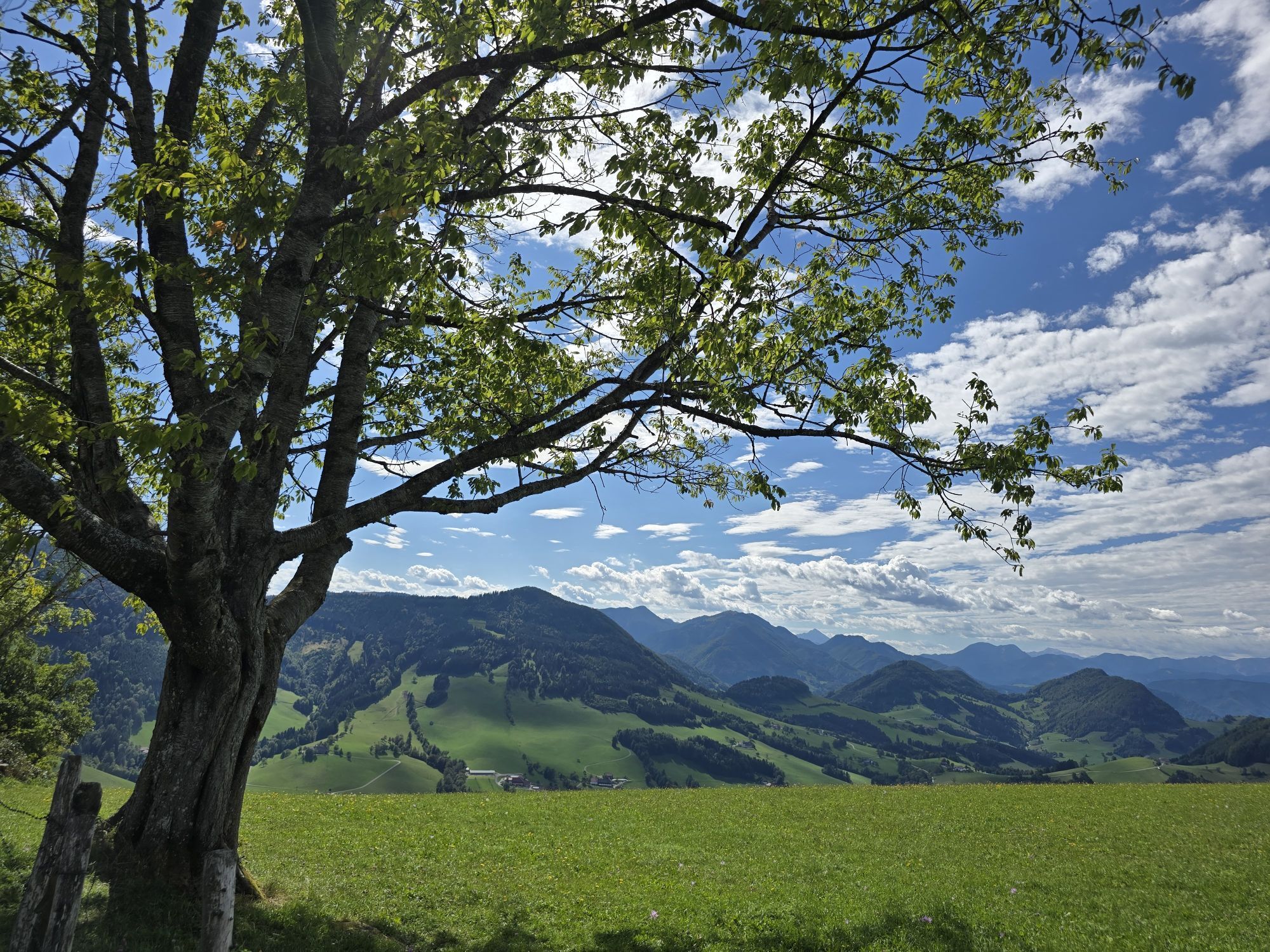
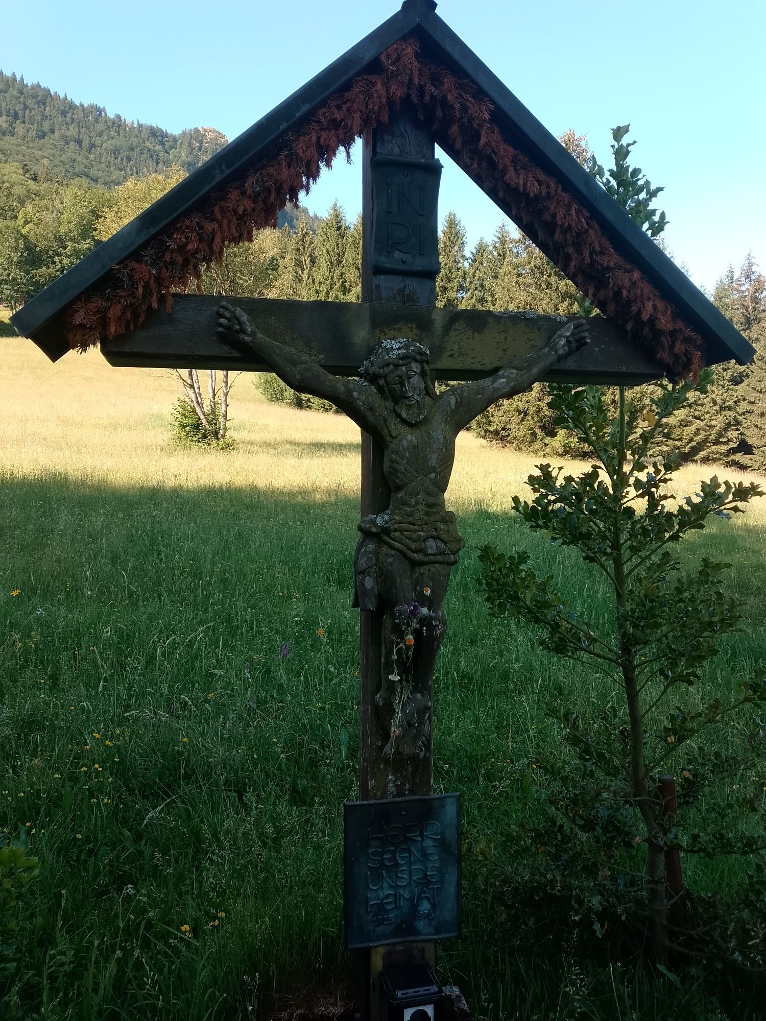
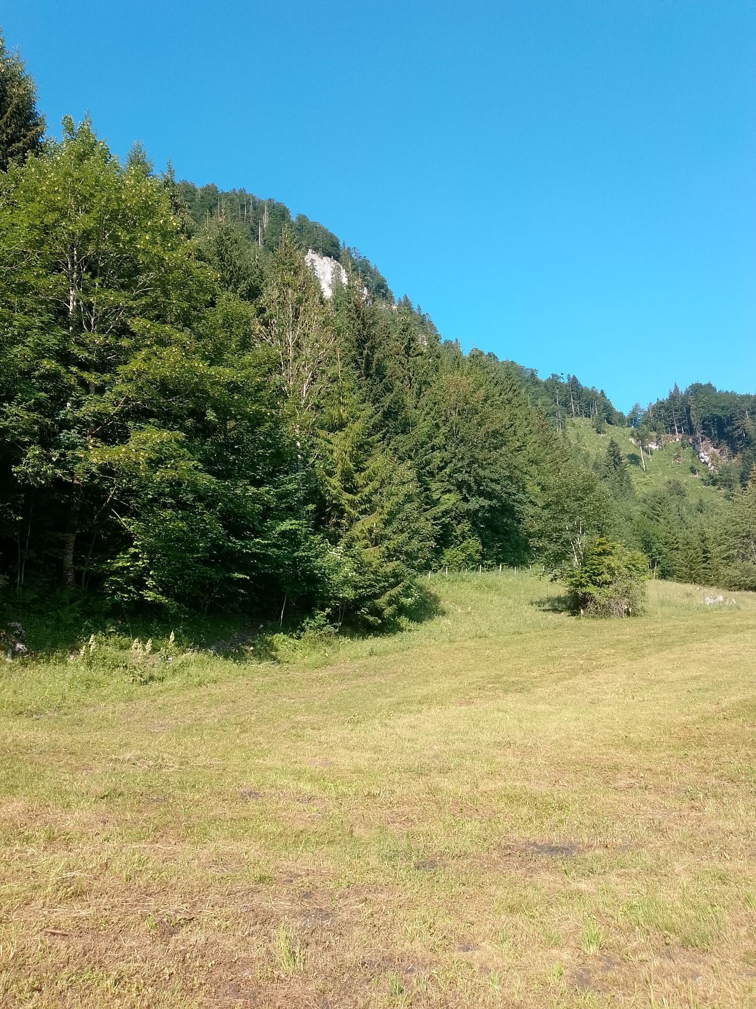
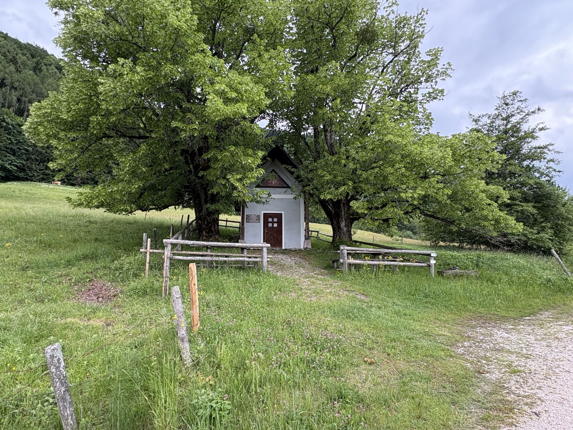
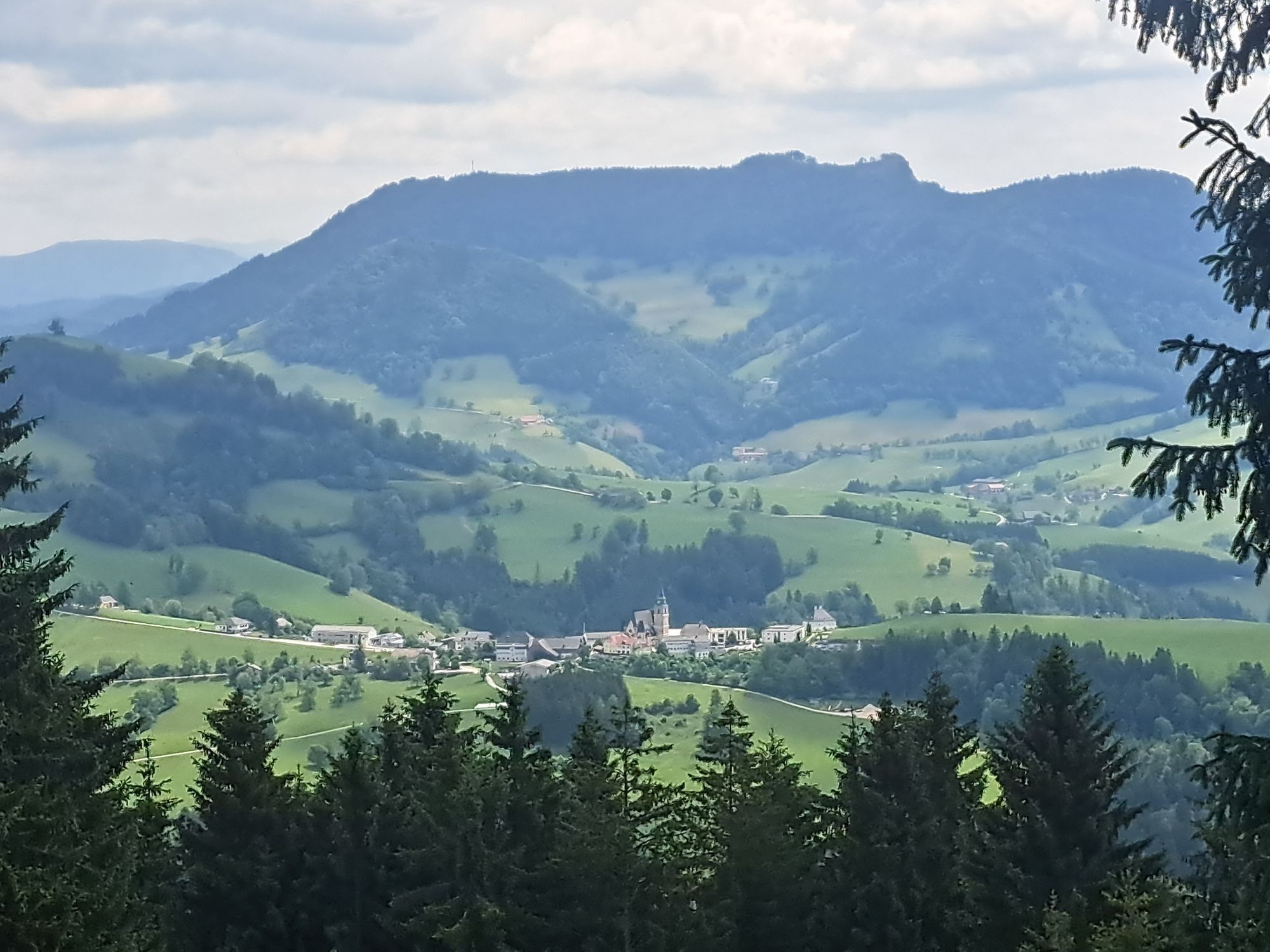
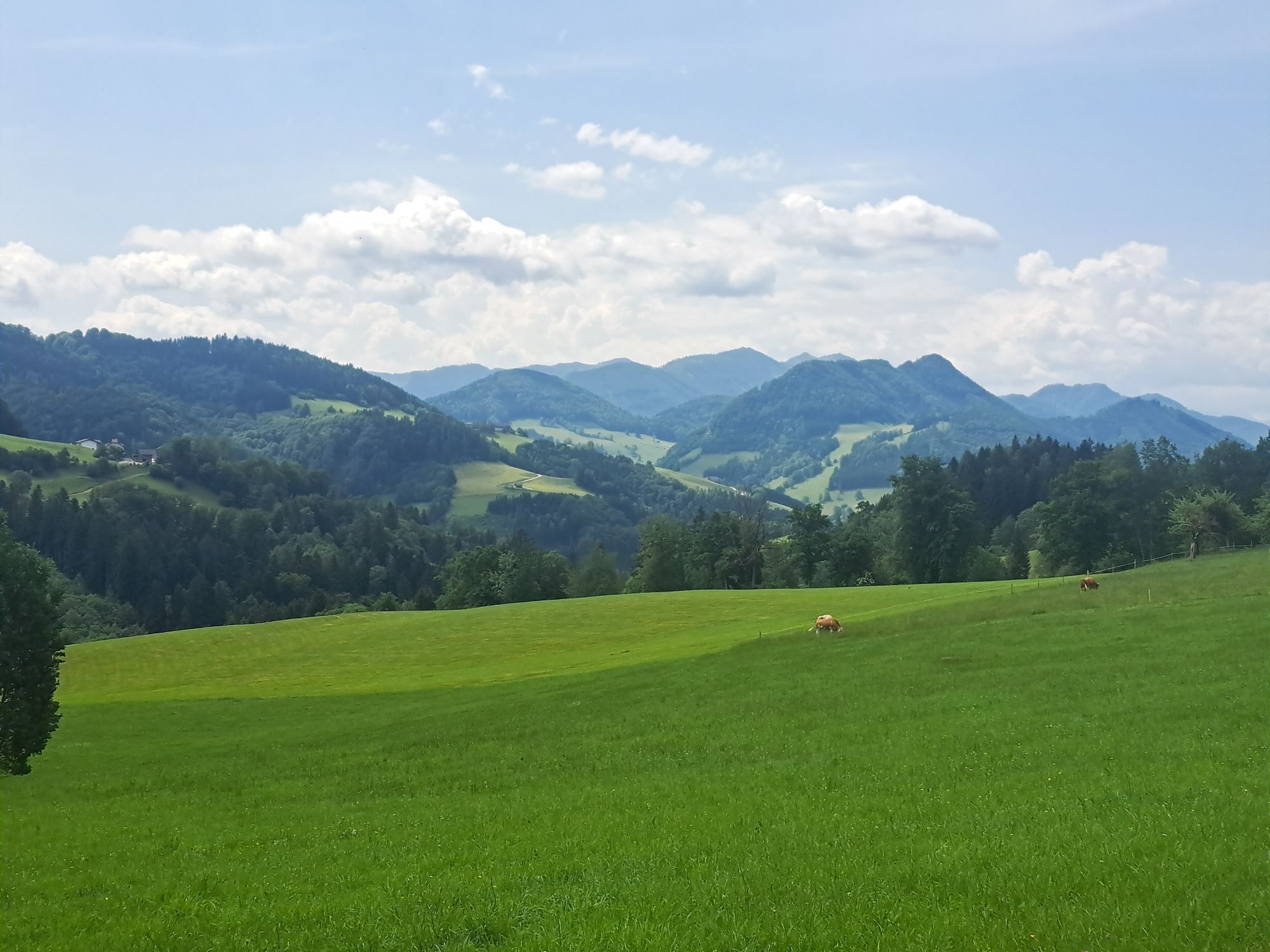
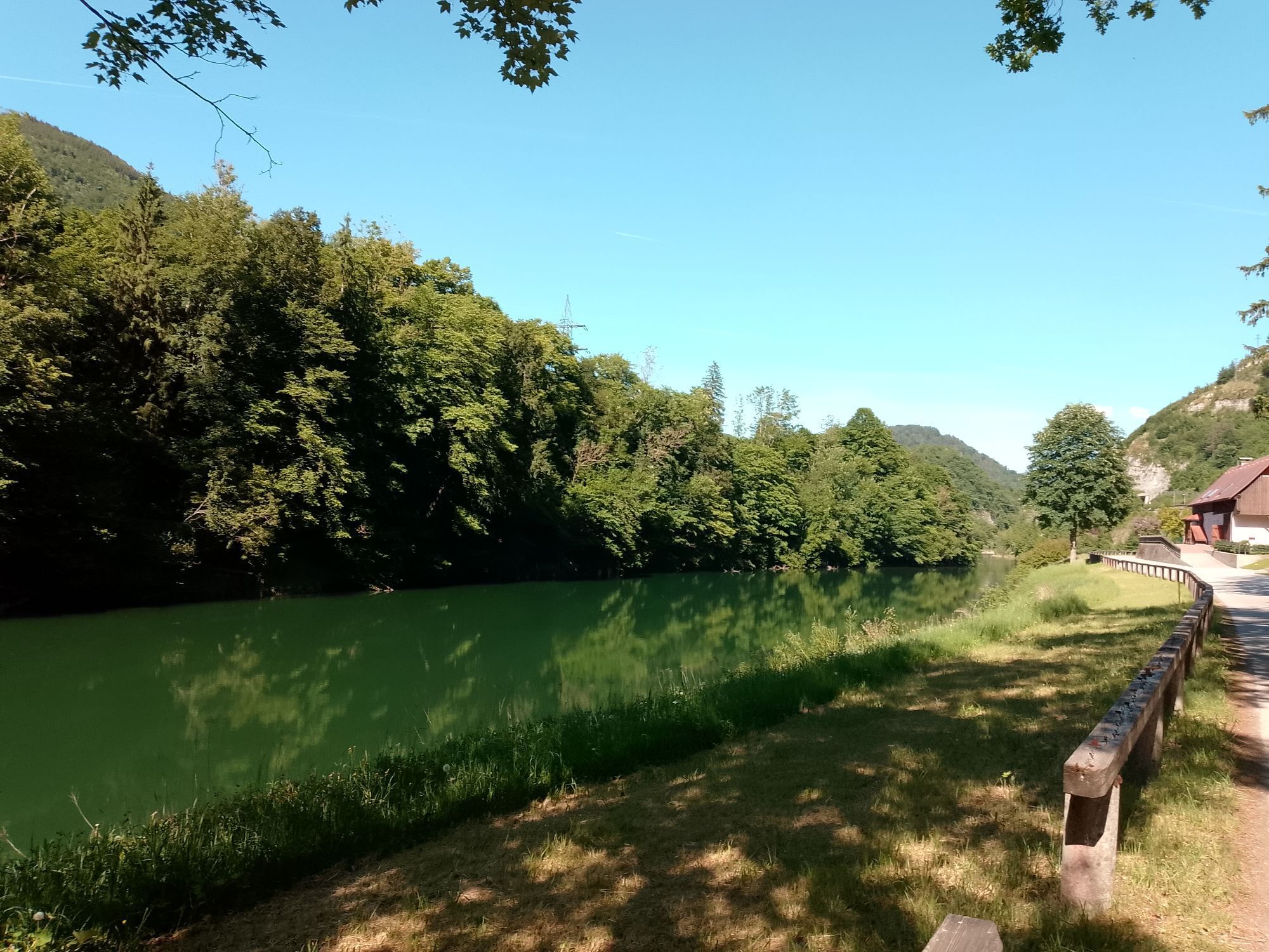
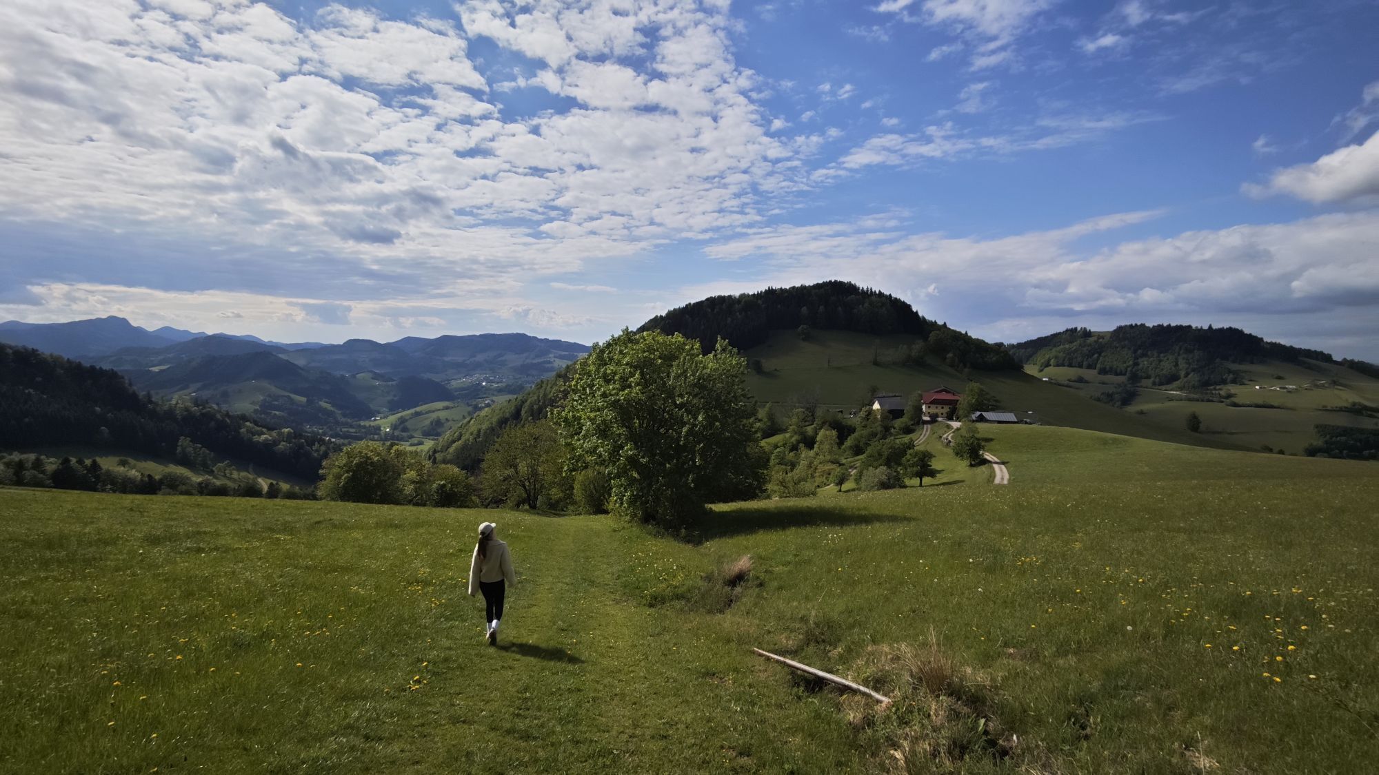
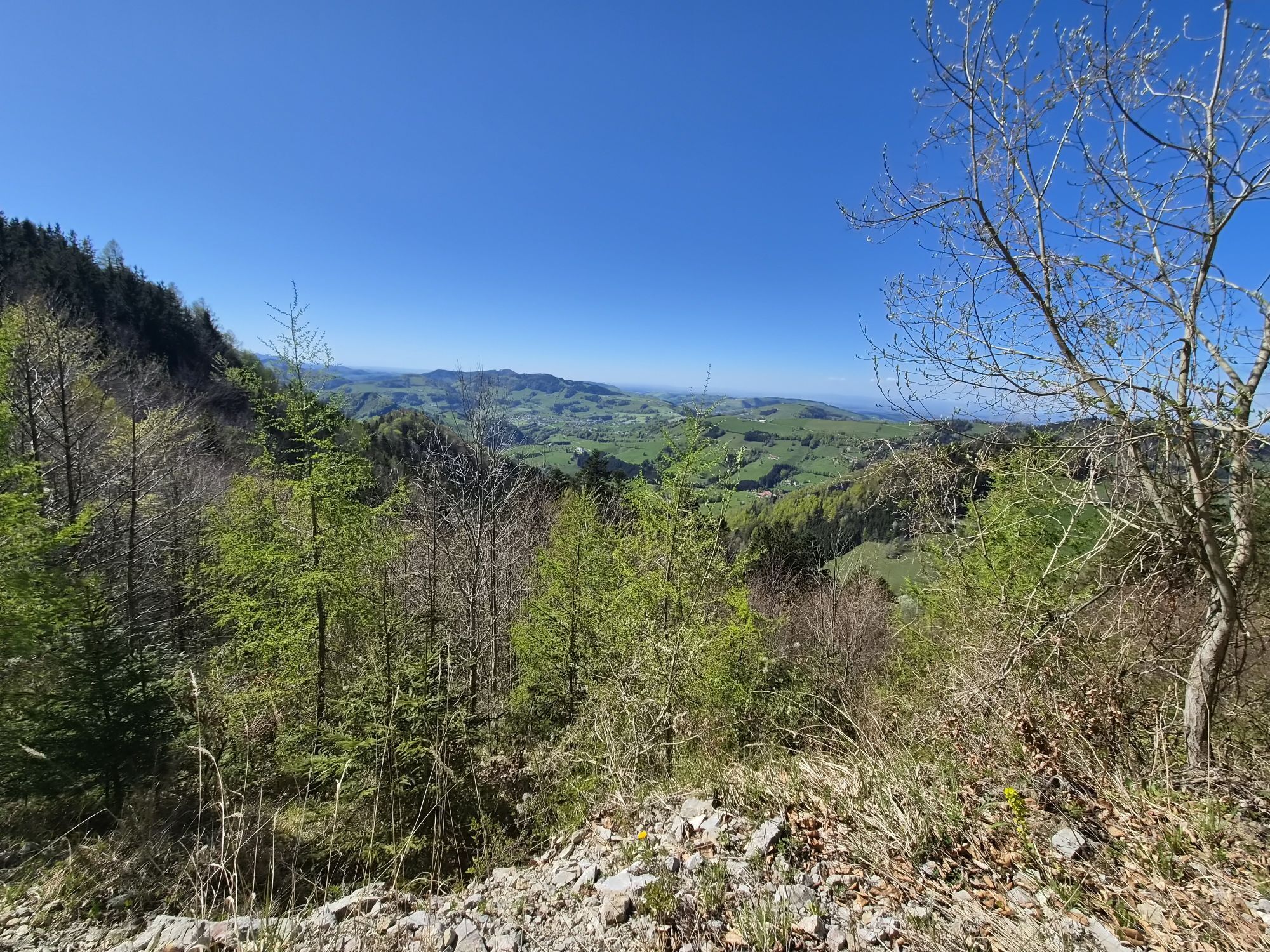
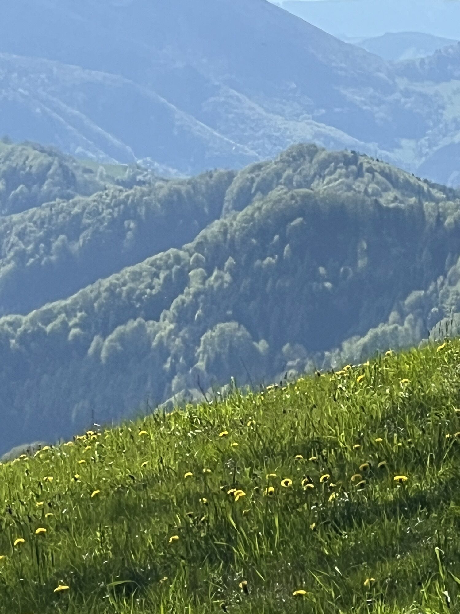
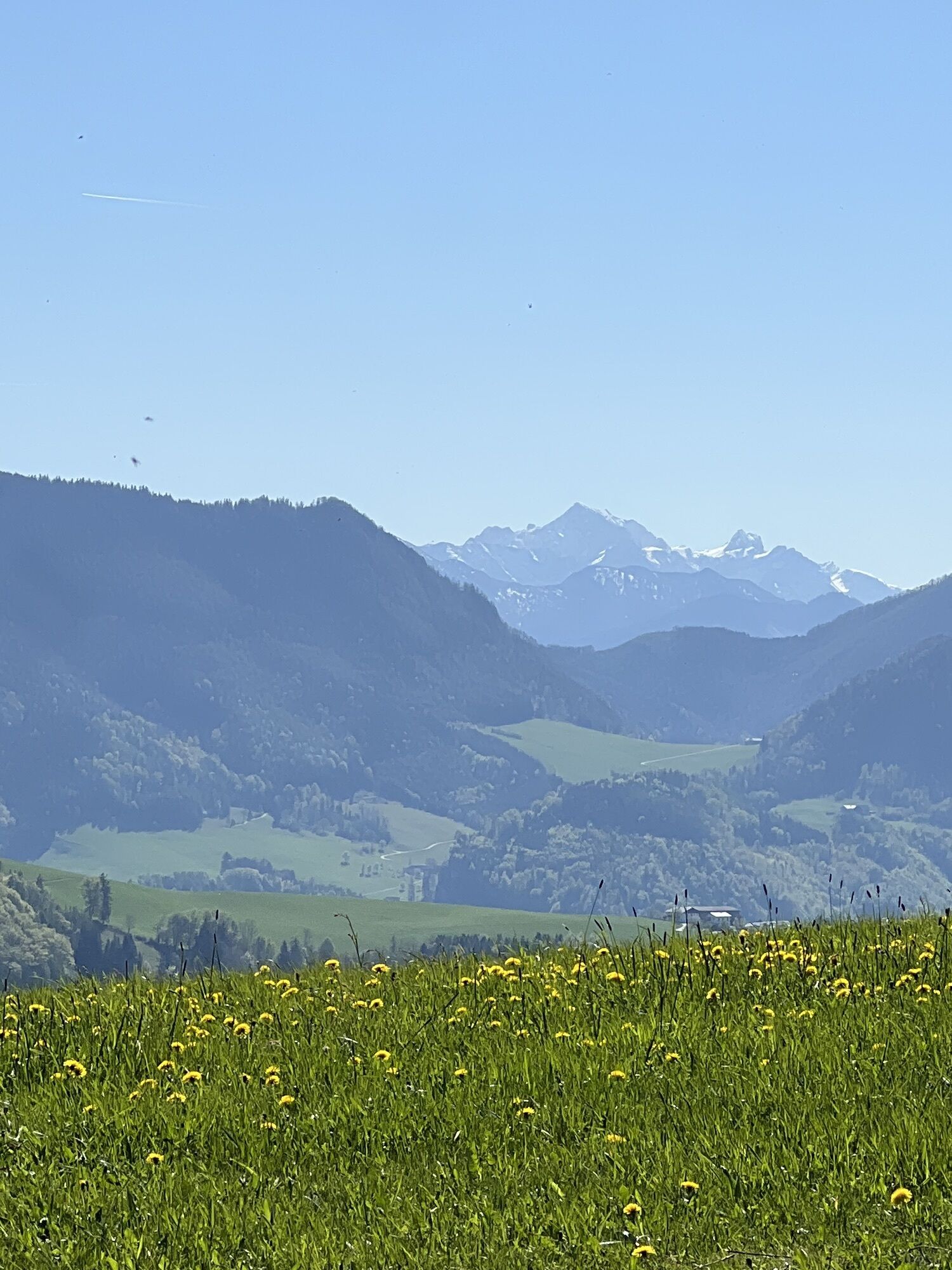
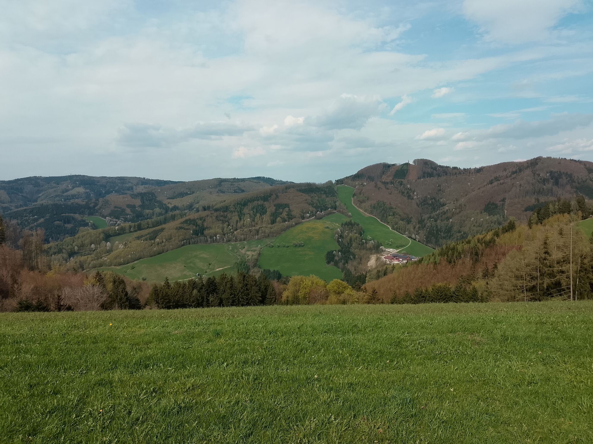
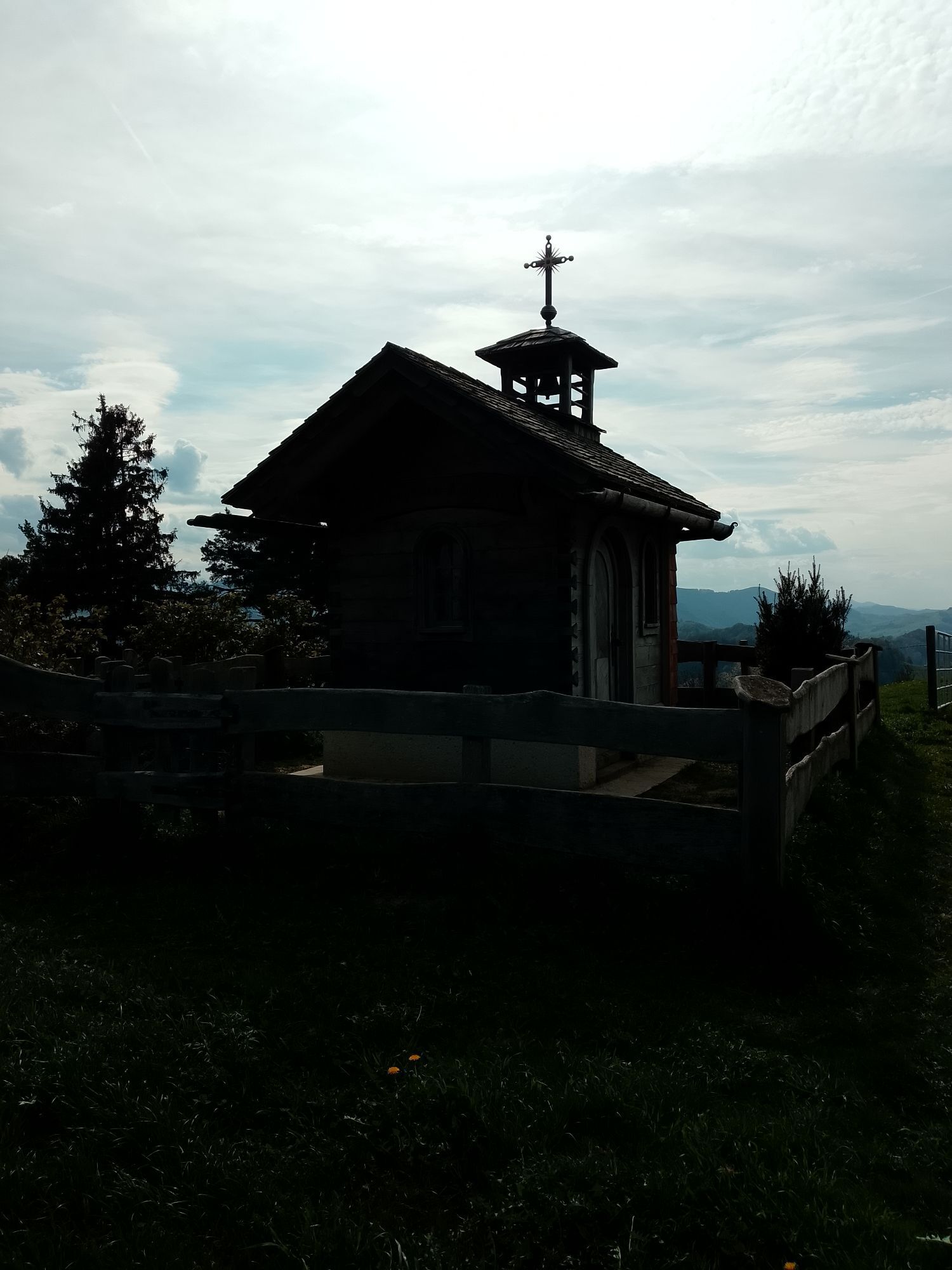
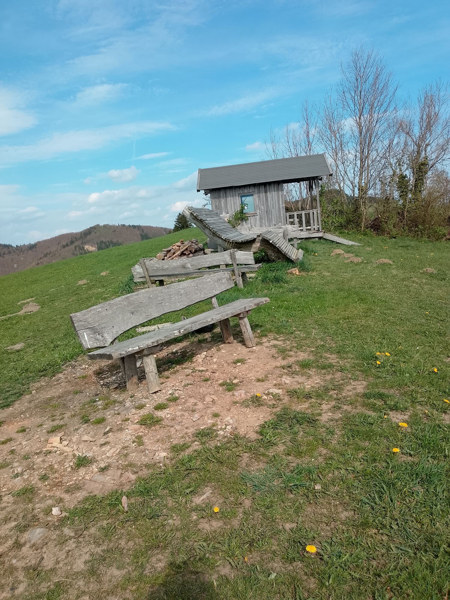
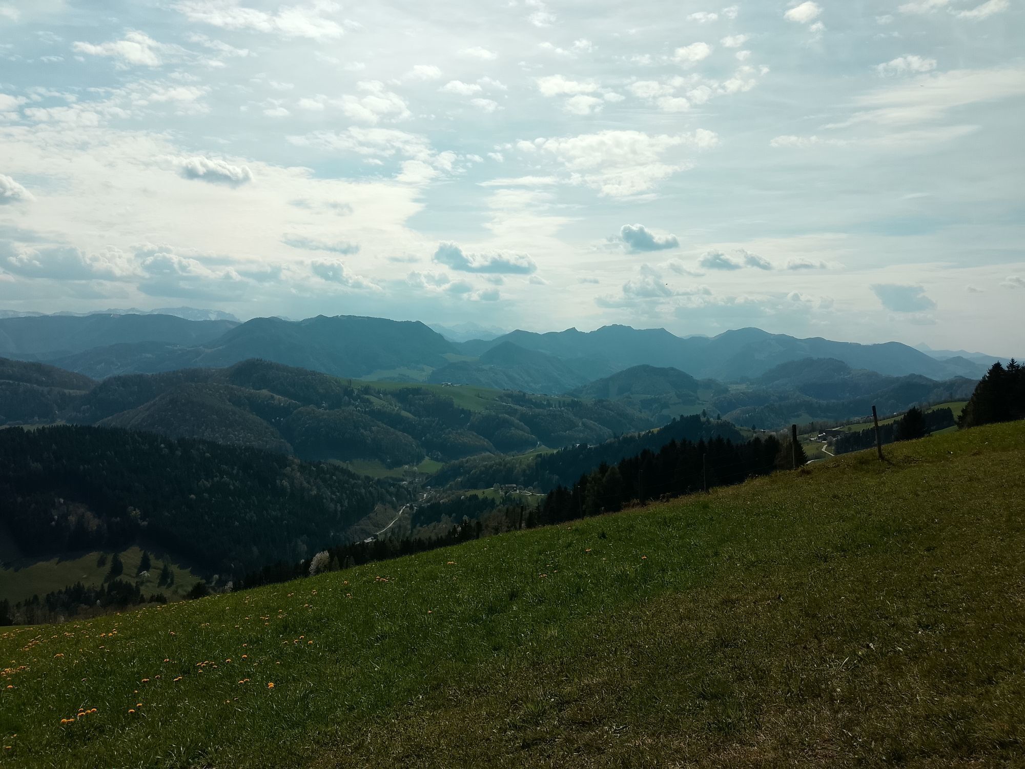
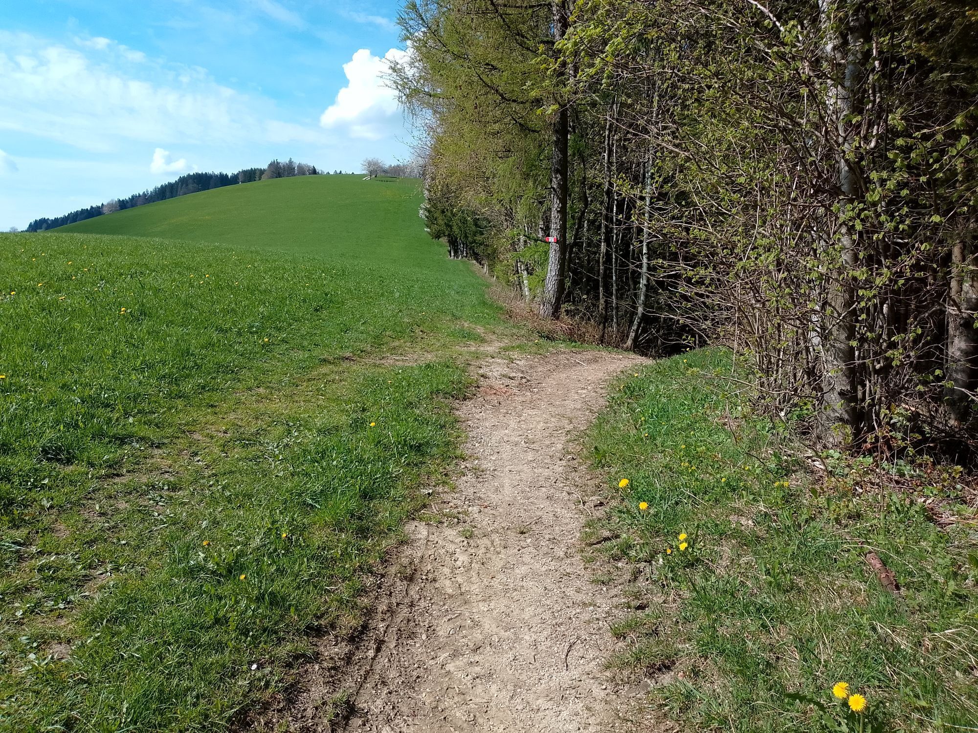
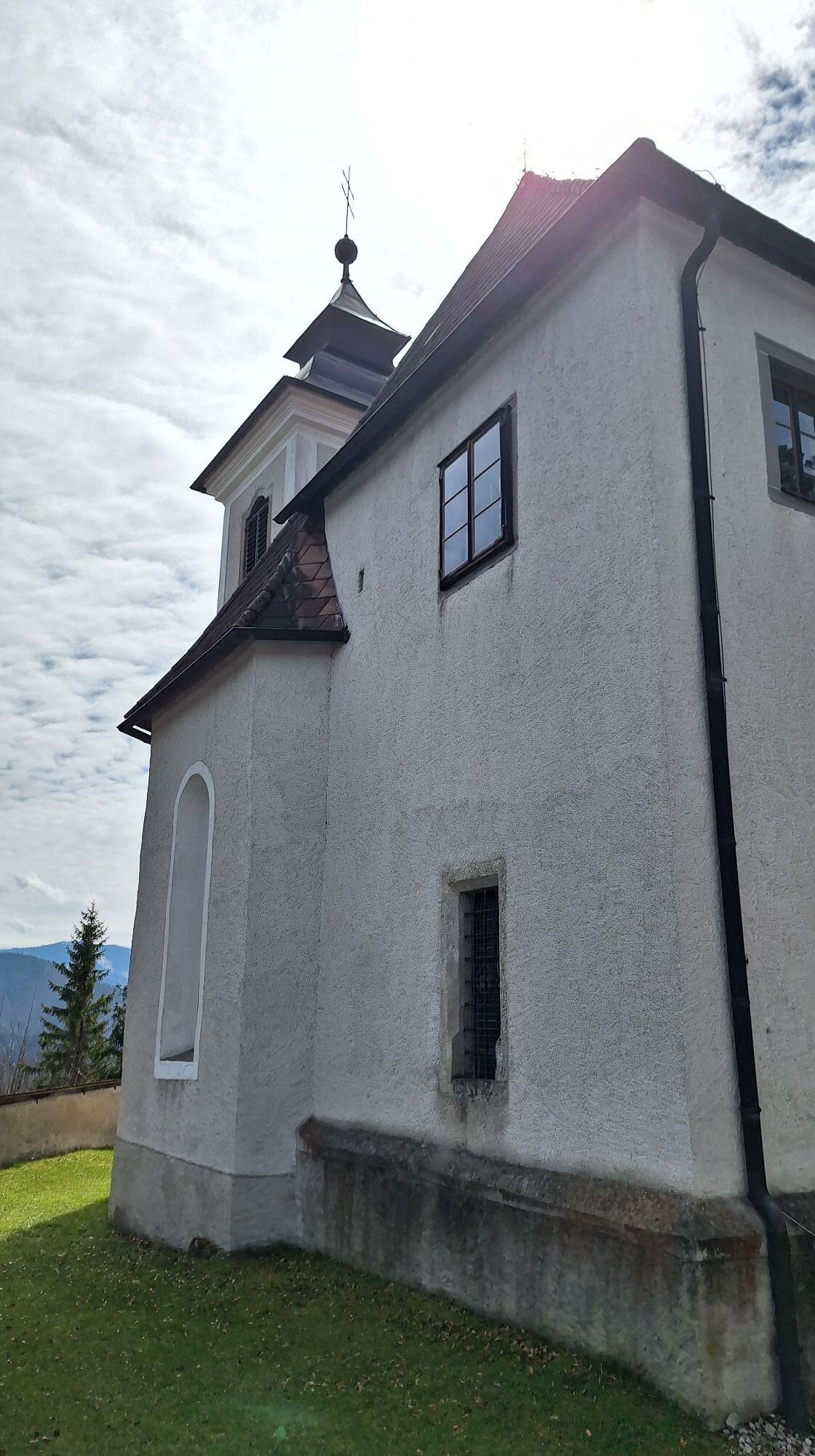
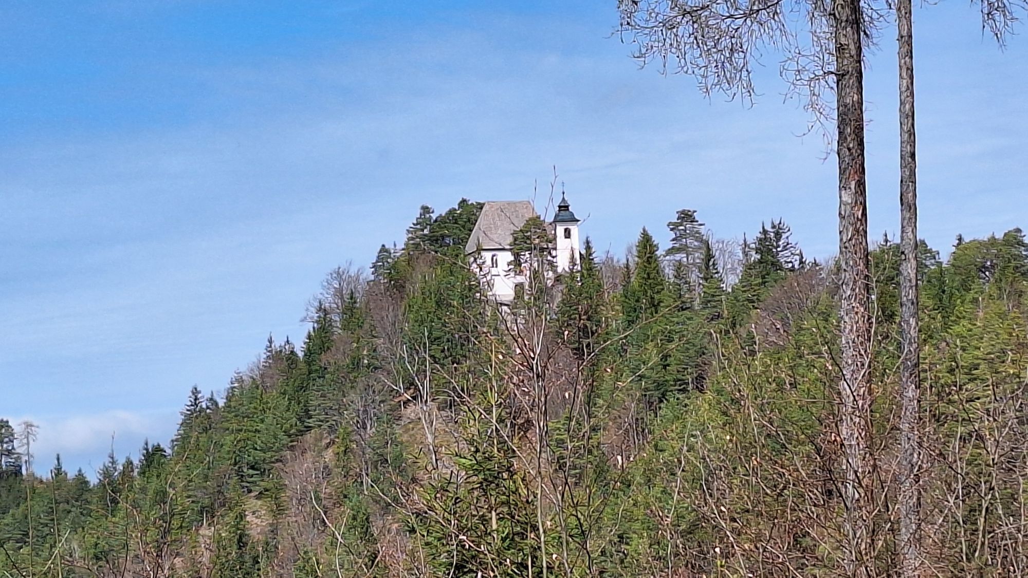
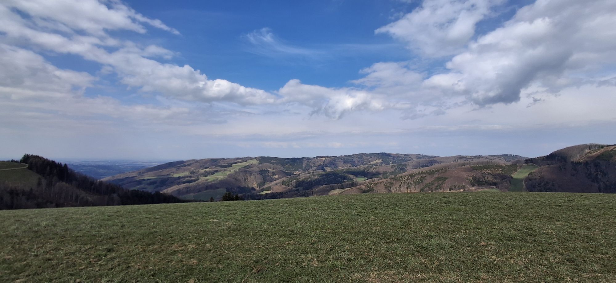
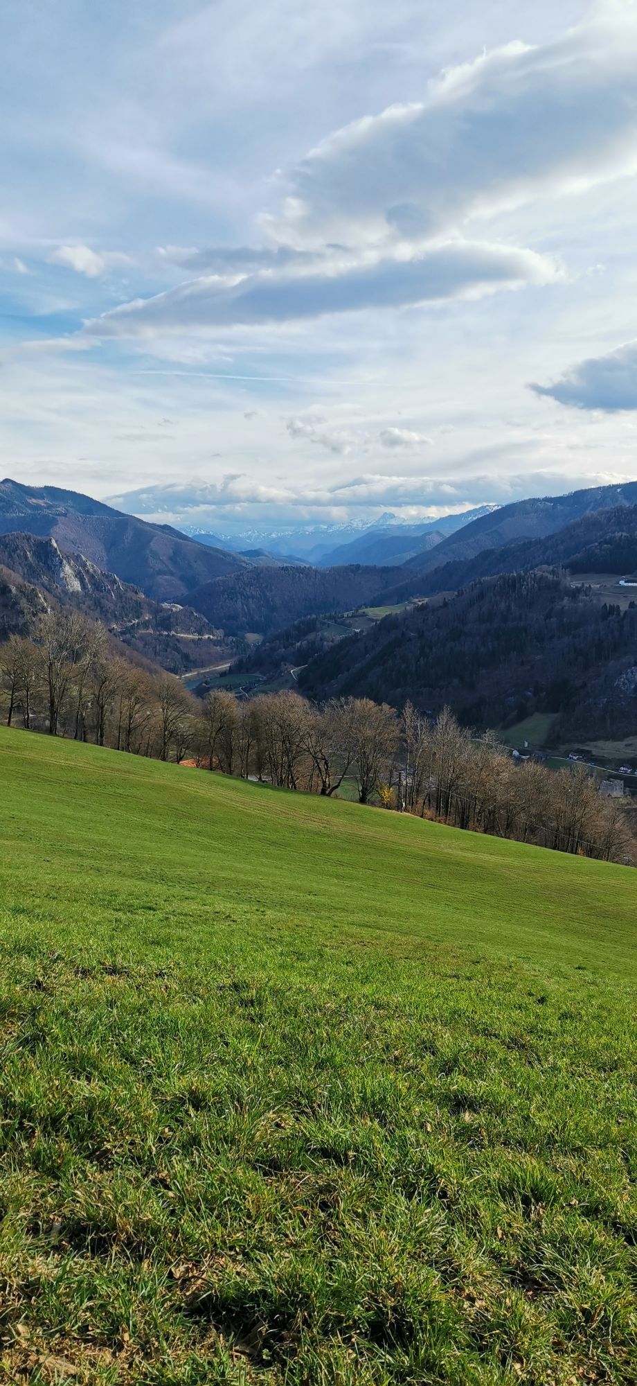
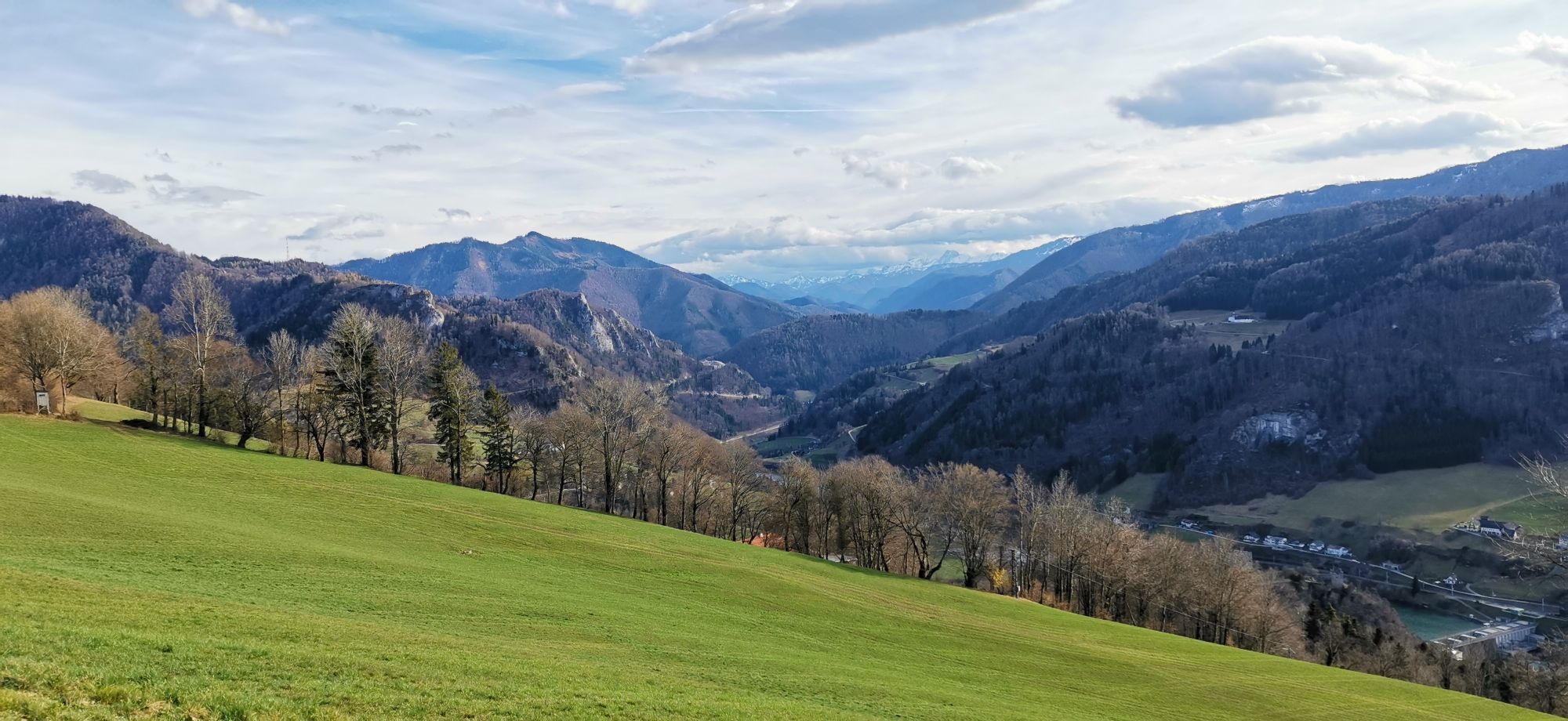
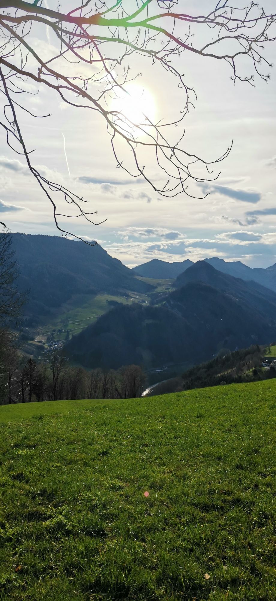
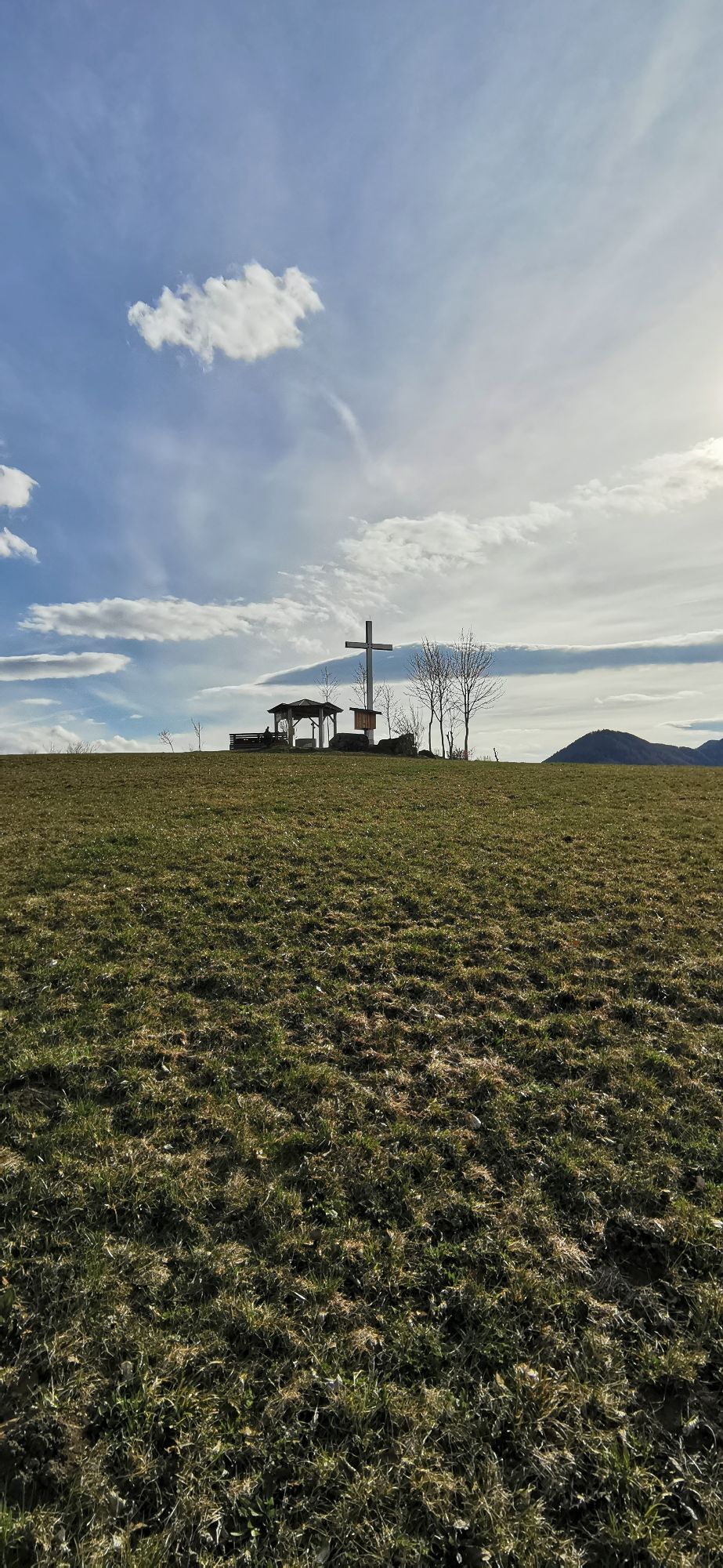
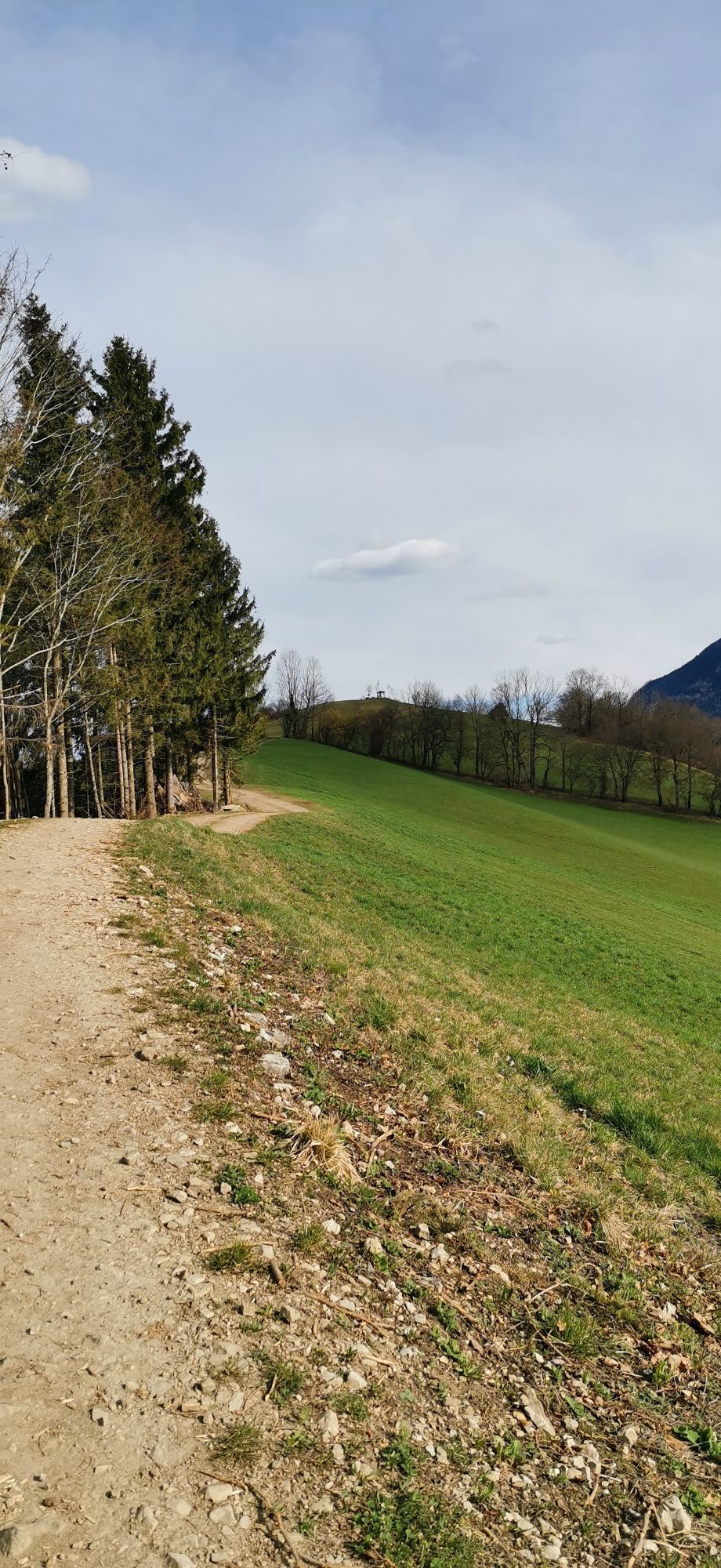
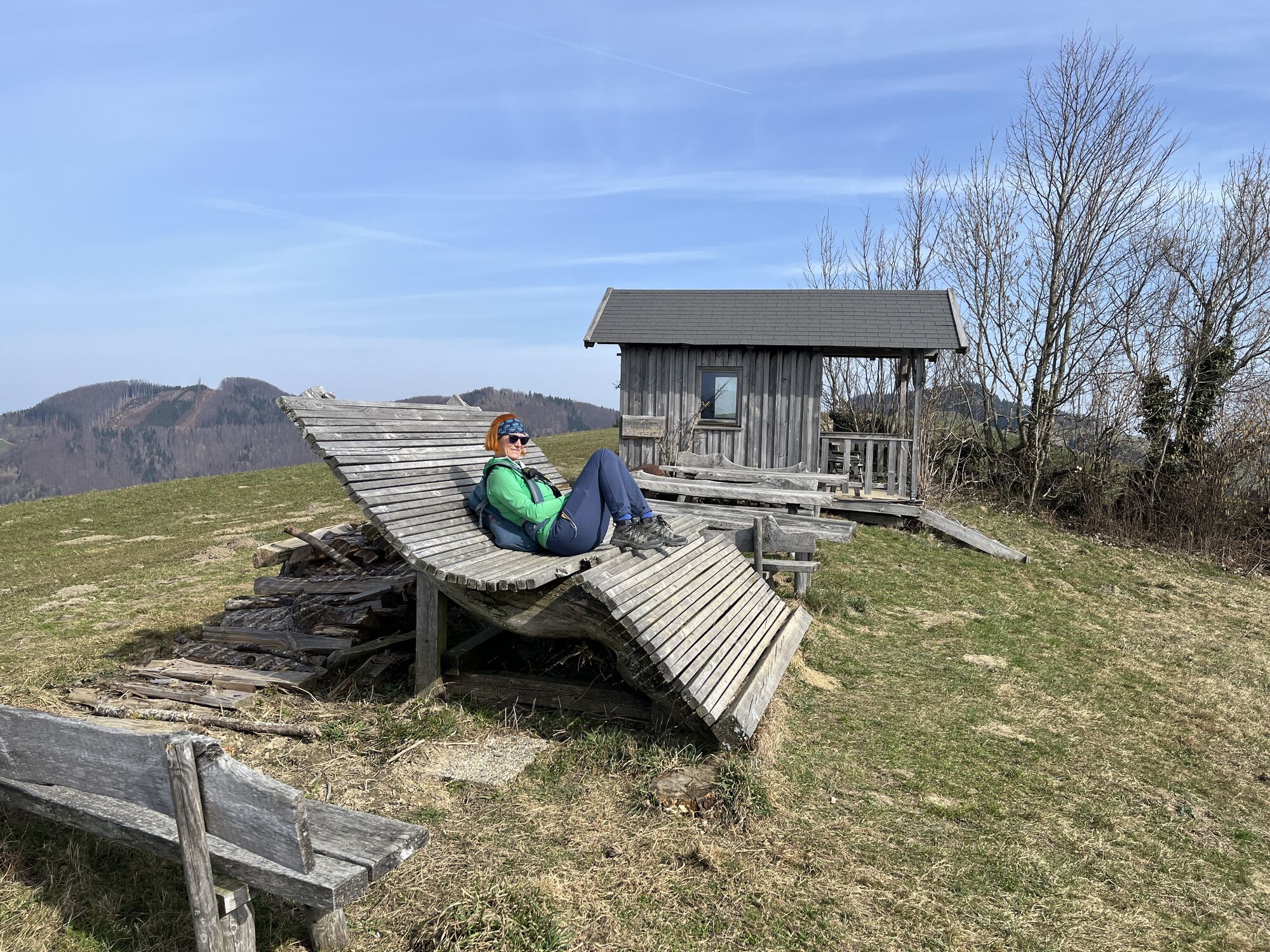
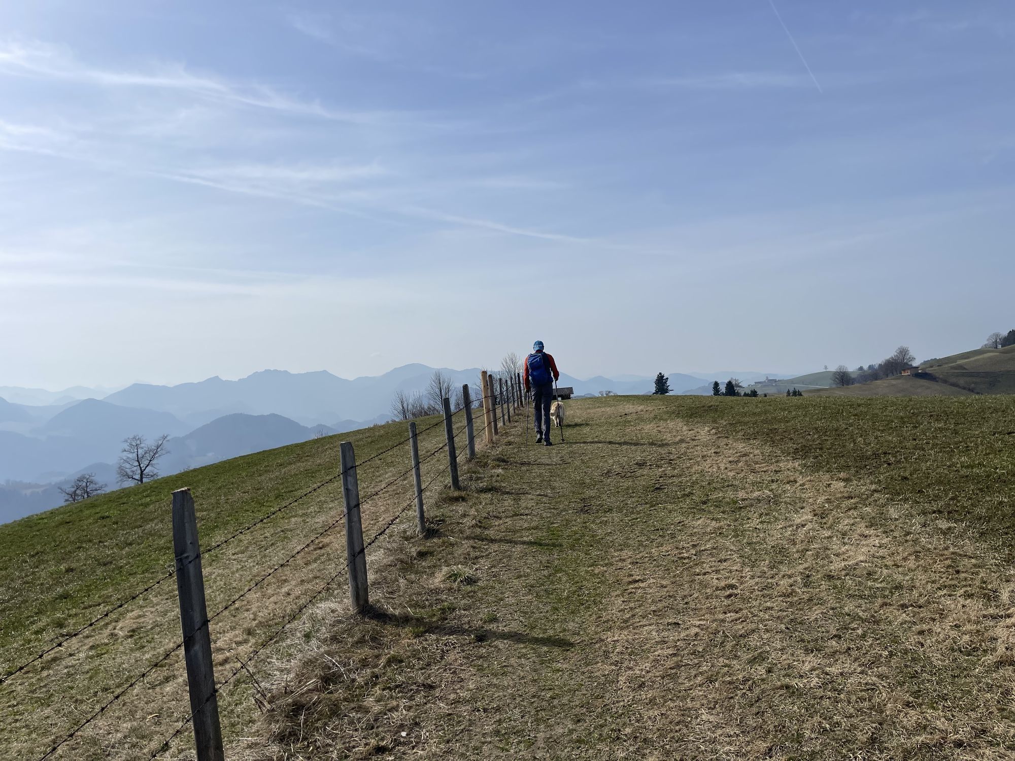
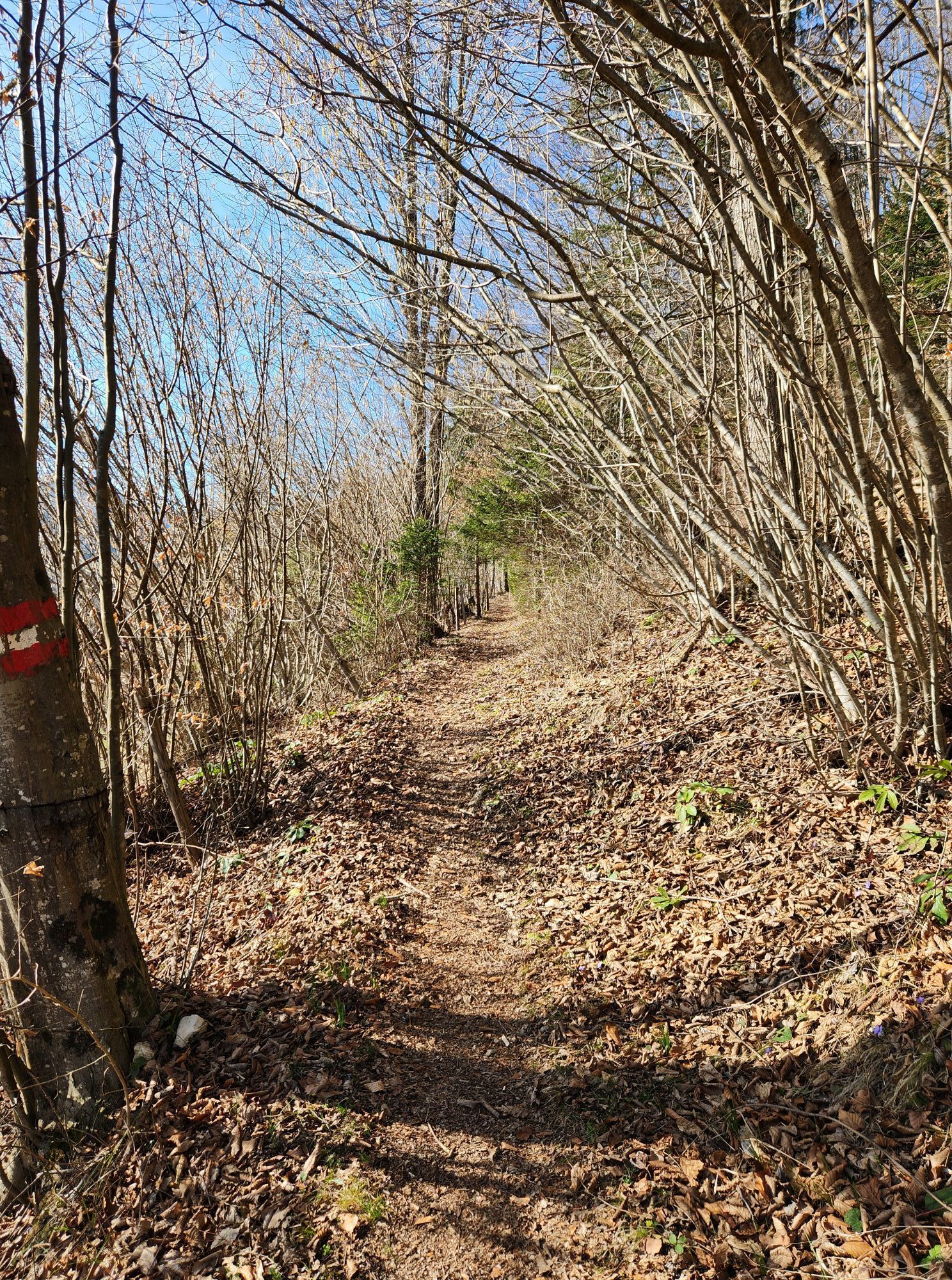
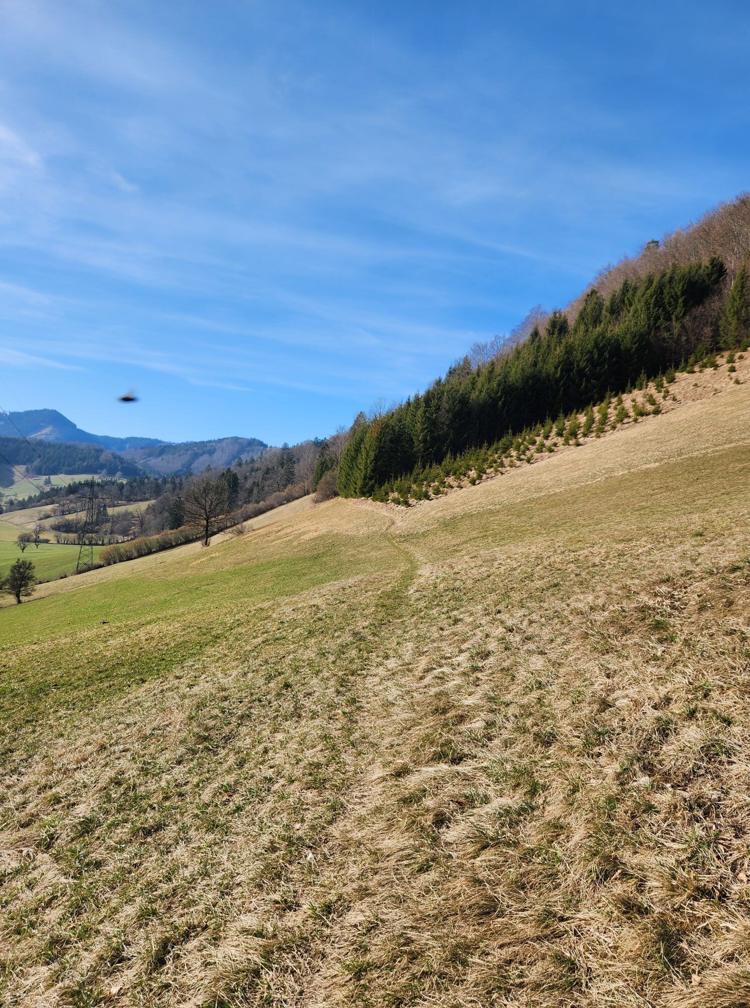
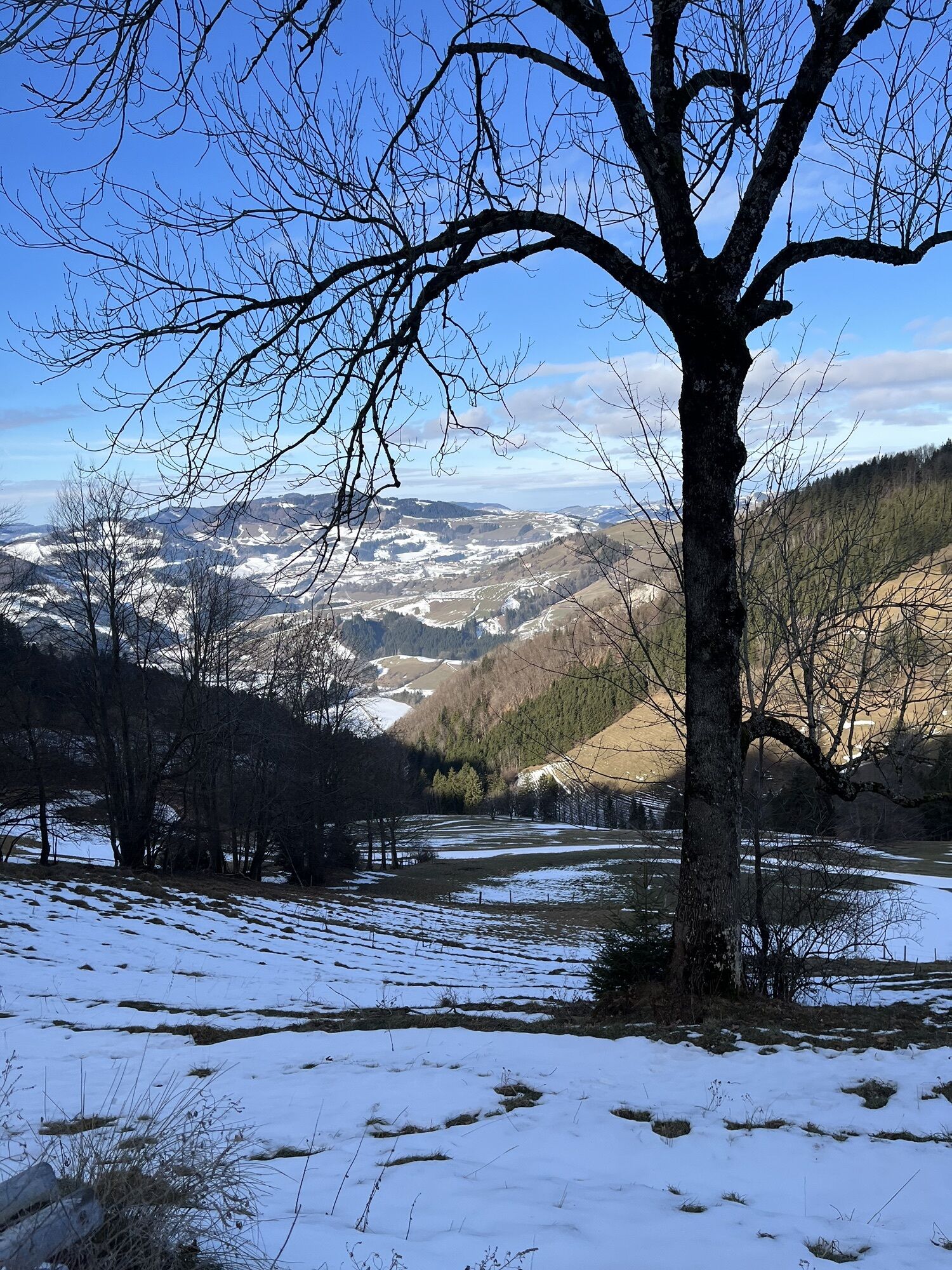
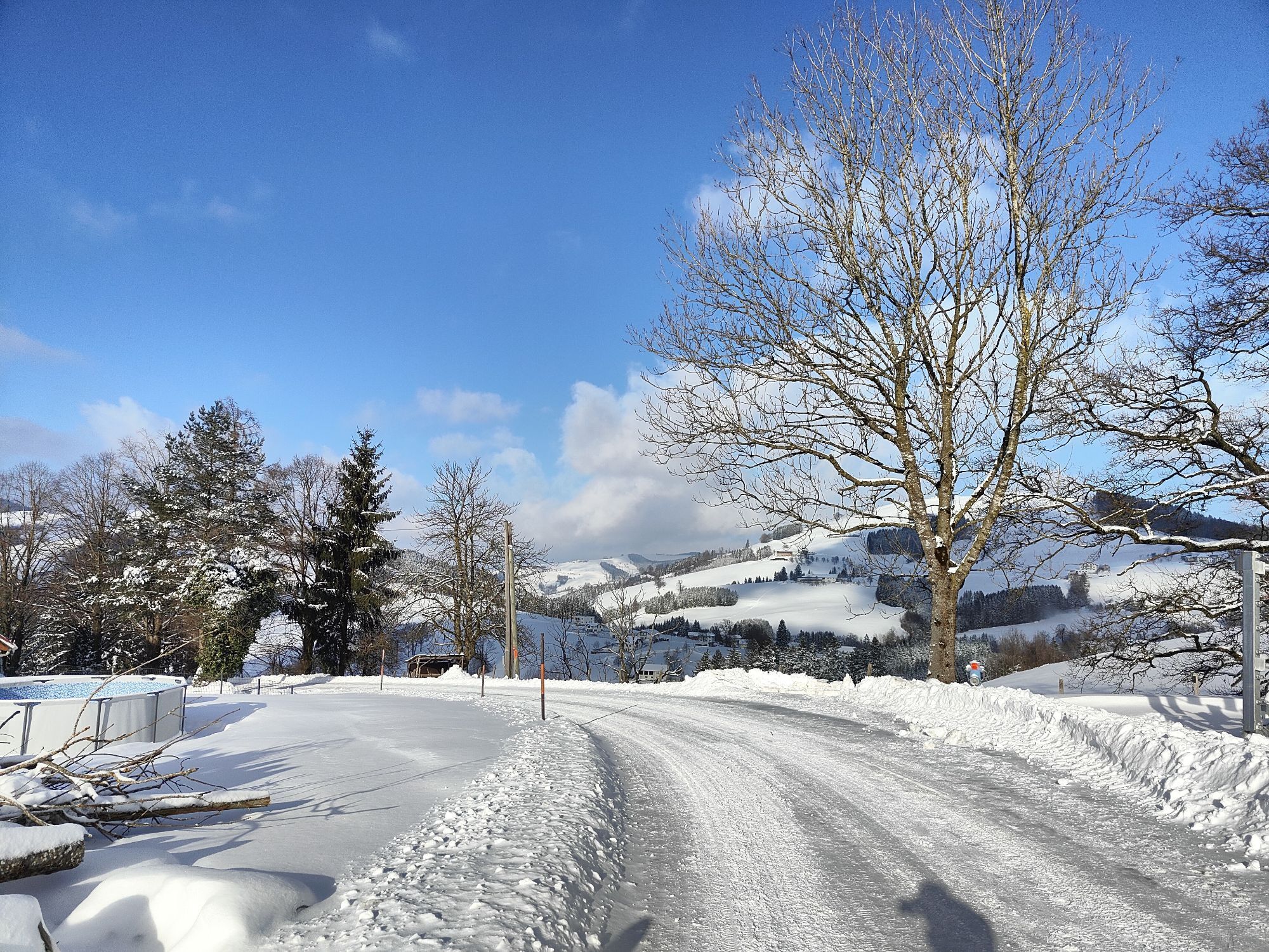
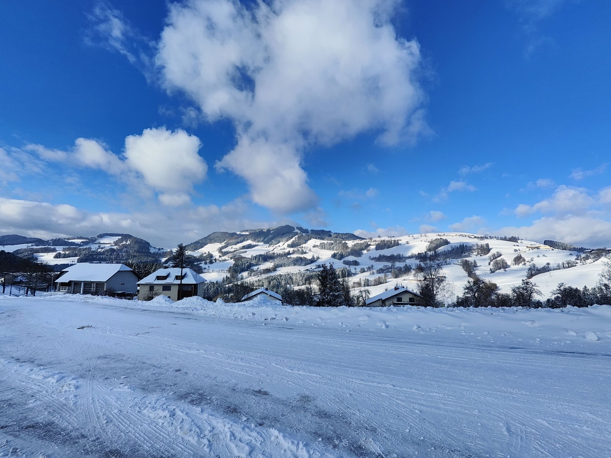
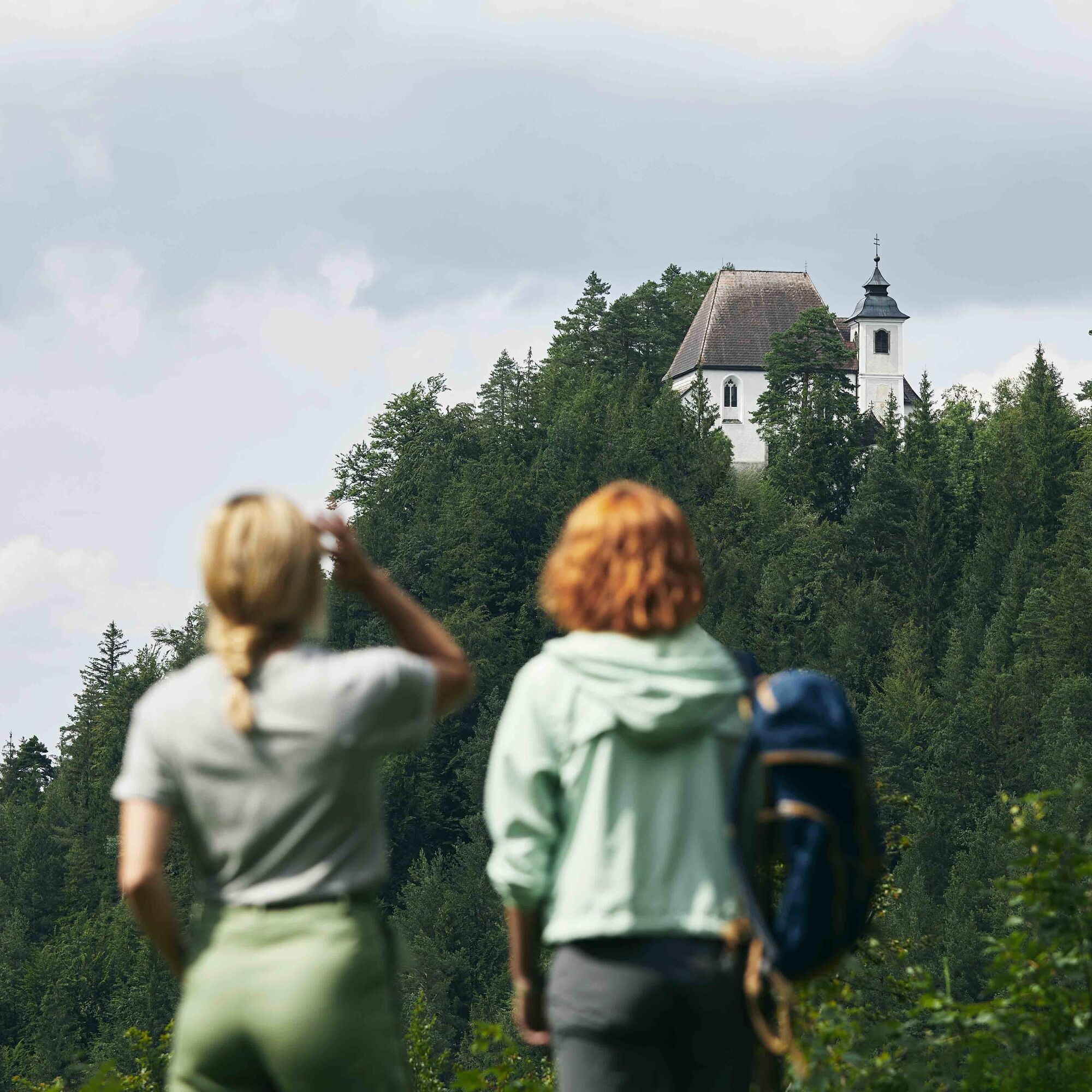
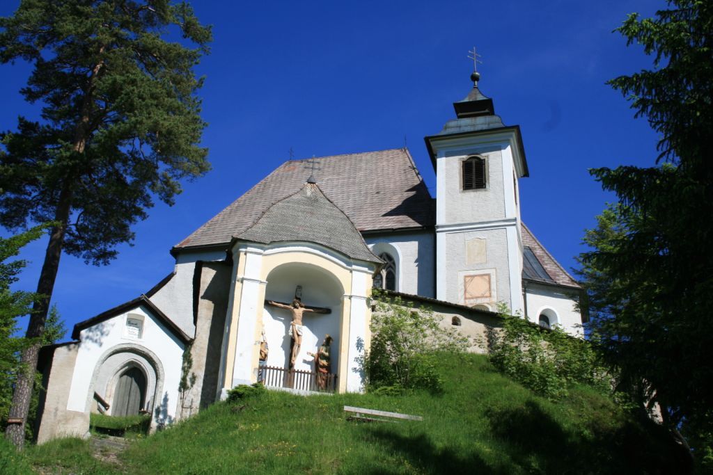
The Sebaldusweg is not only a pilgrimage route but also a path full of nature and culture. Along the trail, the hiker finds 7 churches, 2 pilgrimage churches, 30 chapels, Eisenwurzen Upper Austria museums, and countless natural treasures.

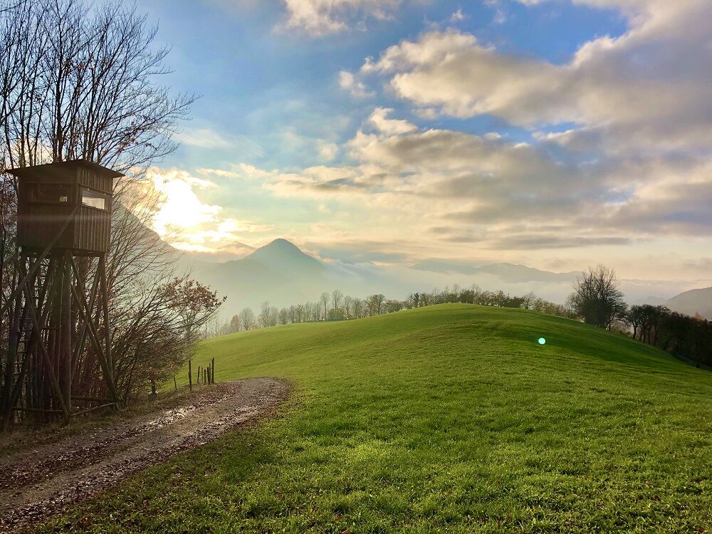
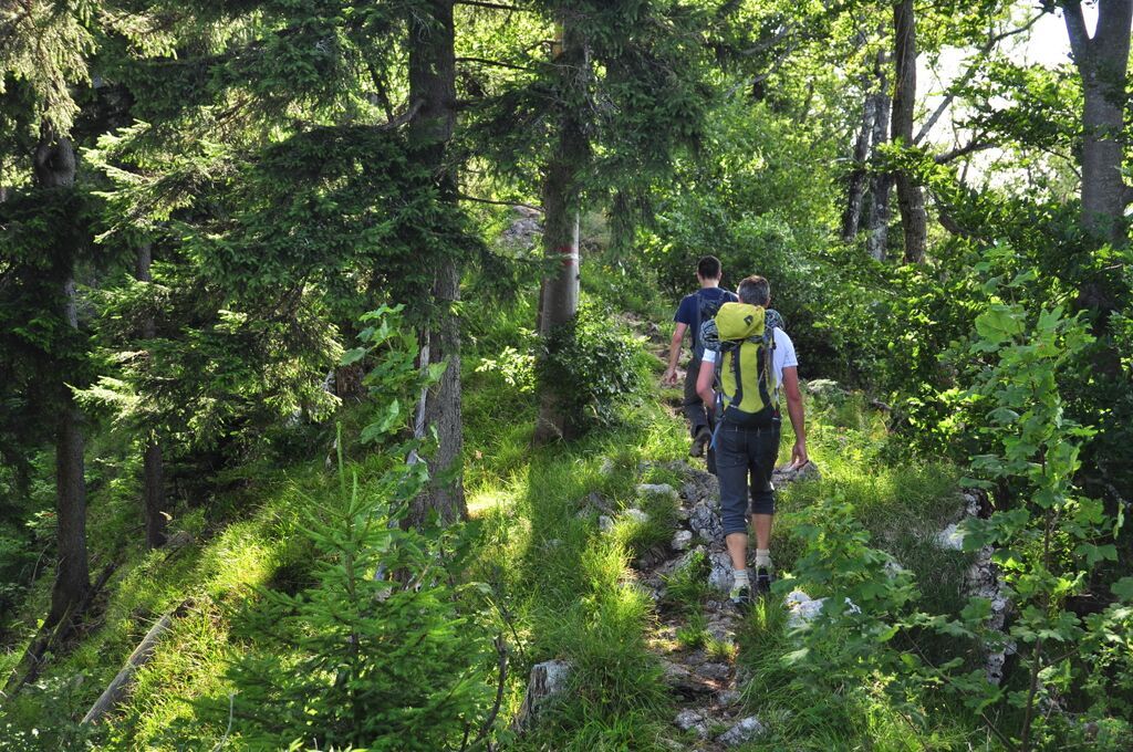
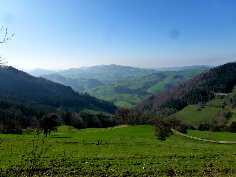
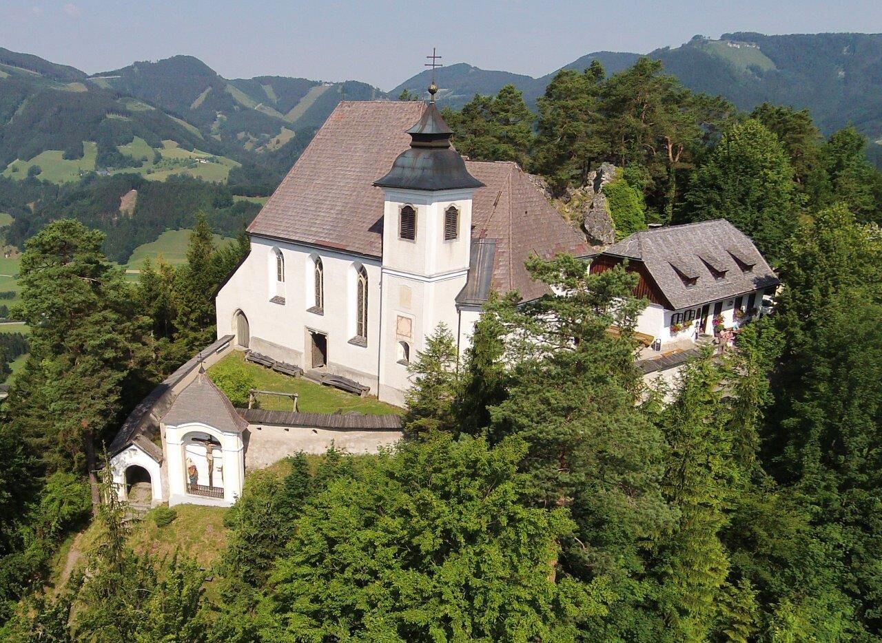
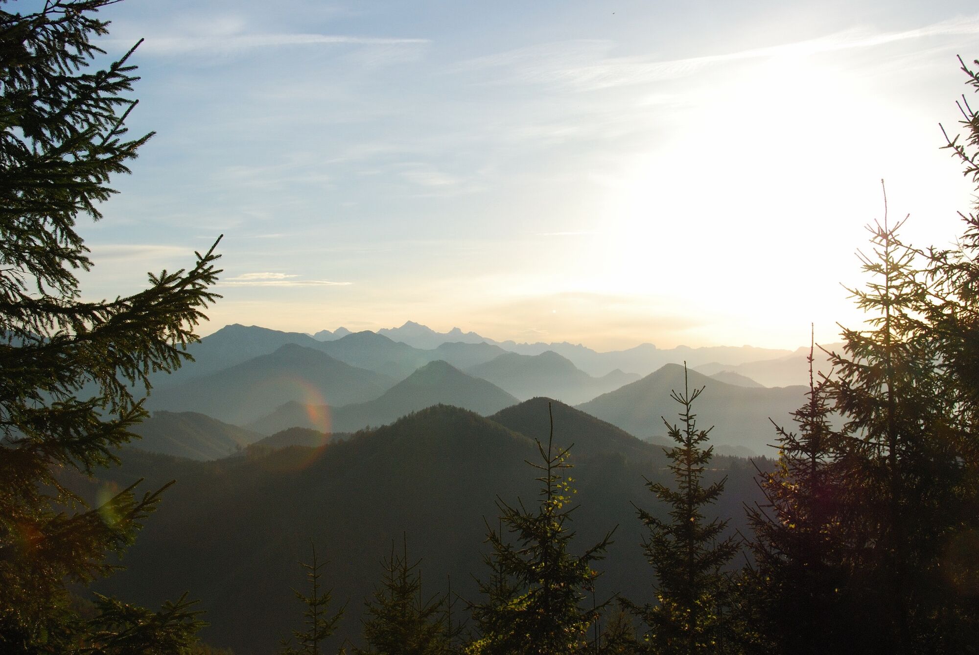
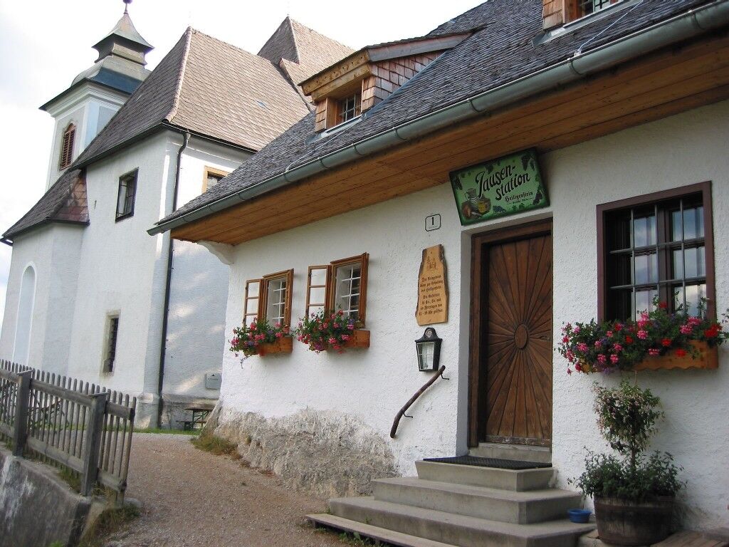
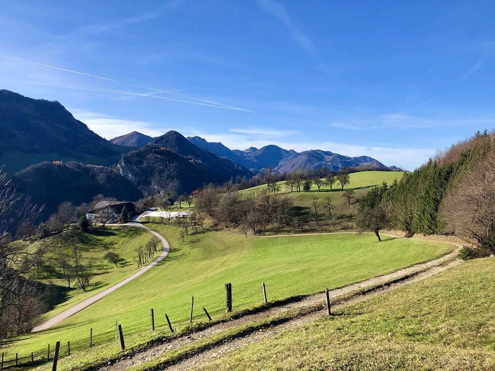
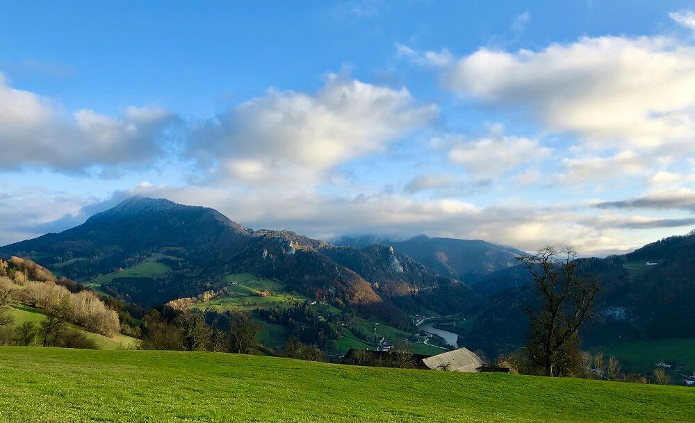

Loop route of about 86 km and around 3,200 m elevation gain
4 daily stages with approximately 21 km each
Overview Stage 1
Starting point: Großraming, Stage destination: Laussa
Trail surface: hiking trail, asphalt, forest road
Trail length: 22 km, elevation gain: 850 m
Großraming – Menweg – Gschoad – Stiedelsbach (Nagelschmiede) – village square Losenstein – Kirchenberg – Fatima Chapel – towards Sauzahn – Brettertal – Laussa
Variant: Steinerner Jäger (1,185 m)
For more details
Overview Stage 2
Starting point: Laussa, Stage destination: Maria Neustift
Trail surface: hiking trail, asphalt, forest road
Trail length: 21 km Elevation gain: 950 m
Village square Laussa - Sonnberg – Long-distance trail 04/06 – Wind park – Spadenberg – Glasenberg – Maria Neustift
Variant: from the inn Kleinschönleiten to Sonnberg
For more details
Overview Stage 3
Starting point: Maria Neustift, Stage destination: Gaflenz
Trail surface: hiking trail, asphalt, forest road
Trail length: 20 km, elevation gain: 700 m
Maria Neustift – Krifter – towards Freithofberg – Neustifter Sattel – towards Großgschnaidt – snack station Hochramskogel – towards Lindaumauer – slabs towards Neudorf – Lindau – Thalhof – Dornbergweg – Gaflenz
Variants: detour to the Freithofberg hut (985 m) or to the Lindaumauer (1,103 m)
For more details
Overview Stage 4
Starting point: Gaflenz, stage destination: Großraming
Trail surface: hiking trail, asphalt, forest road
Trail length: 23 km, elevation gain: 500 m
Gaflenz – Kreuzweg – Heiligenstein – via Heiligenstein hiking trail to Weyer – market square – Katzensteiner Mill – on the Enns bike path (R7) to Großraming
For more details
Sturdy hiking boots, sun and rain protection, first aid kit for emergencies, possibly hiking poles.
As there are few opportunities to stop for refreshments directly along the trail, it is advisable to take enough snacks and drinks with you.
From Salzburg/Linz: A1 motorway exit Enns-Steyr > B115 into the Ennstal From Vienna: A1 motorway exit Haag > B42 > B122 > B115 into the Ennstal
From Passau: A8 Passau > Wels > A1 to motorway exit Enns-Steyr > B115 into the Ennstal
From Graz: A9 Pyhrn motorway > motorway exit Klaus > Grünburg > into the Ennstal.
Losenstein, Großraming, Küpfern, Kastenreith, and Weyer are perfect for travel by train.
Public free parking facilities
Großraming: public parking behind the state music school or at the former inn Salzwimmer Losenstein: public parking at the train station or at the family inn Blasl Laussa: public parking opposite Baumgartner department store Maria Neustift: public parking to the left behind the municipal office Gaflenz: public parking at the municipal office, outdoor pool Weyer: Kreuzberg parking lotInformation about dining and accommodation options or bookable offers at www.sebaldusweg.at
All information on church opening hours and mass times can be found here:
Enough snacks and drinks are recommended, as there are only limited catering options during the stages. It is also advisable to research the opening hours of the catering establishments in advance. Exact information on dining options can be found at Gastronomy Sebaldusweg (steyr-nationalpark.at)
Spletne kamere s turneje



Priljubljeni izleti v okolici
-
4.9
Ennser Hut - Almkogel (from Bamacher car park)
srednjaPohodništvo 3.53 km -
4.9
Dambergwarte
svetlobaPohodništvo 3.28 km -
4.8
Steinerner Jäger (1185m) und Schieferstein (1206m) ab Parkplatz Hochhabichler
srednjaPohodništvo 4.46 km -
4.7
Steinerner Jäger (1185m) und Schieferstein (1206m) ab Parkplatz Hack
težkoPohodništvo 8.58 km -
4.7
GROSSRAMING Bamacher, Burgspitz, Almkogel, Ennshütte 20240730
srednjaPohodništvo 10 km -
4.4
Kleine Gipfelrunde Glasenberg
svetlobaPohodništvo 4.99 km -
4.6
Gamsstein (1275m) und Gschwendtalm ab Parkplatz Brunnbach
srednjaPohodništvo 7.37 km -
4.3
Freithofberg
srednjaPohodništvo 9.15 km -
4.6
Lindaumauer, Maria Neustift
srednjaPohodništvo 5.53 km -
4.2
Burgspitz, Almkogel, Wieser, Langlackenmauer und zurück
srednjaPohodništvo 13.5 km
Pohodništvo in sledenje


Ne zamudite ponudb in navdiha za naslednje počitnice
Vaš e-poštni naslov je bil dodan na poštni seznam.





