







Laussinger Sonnbergrunde
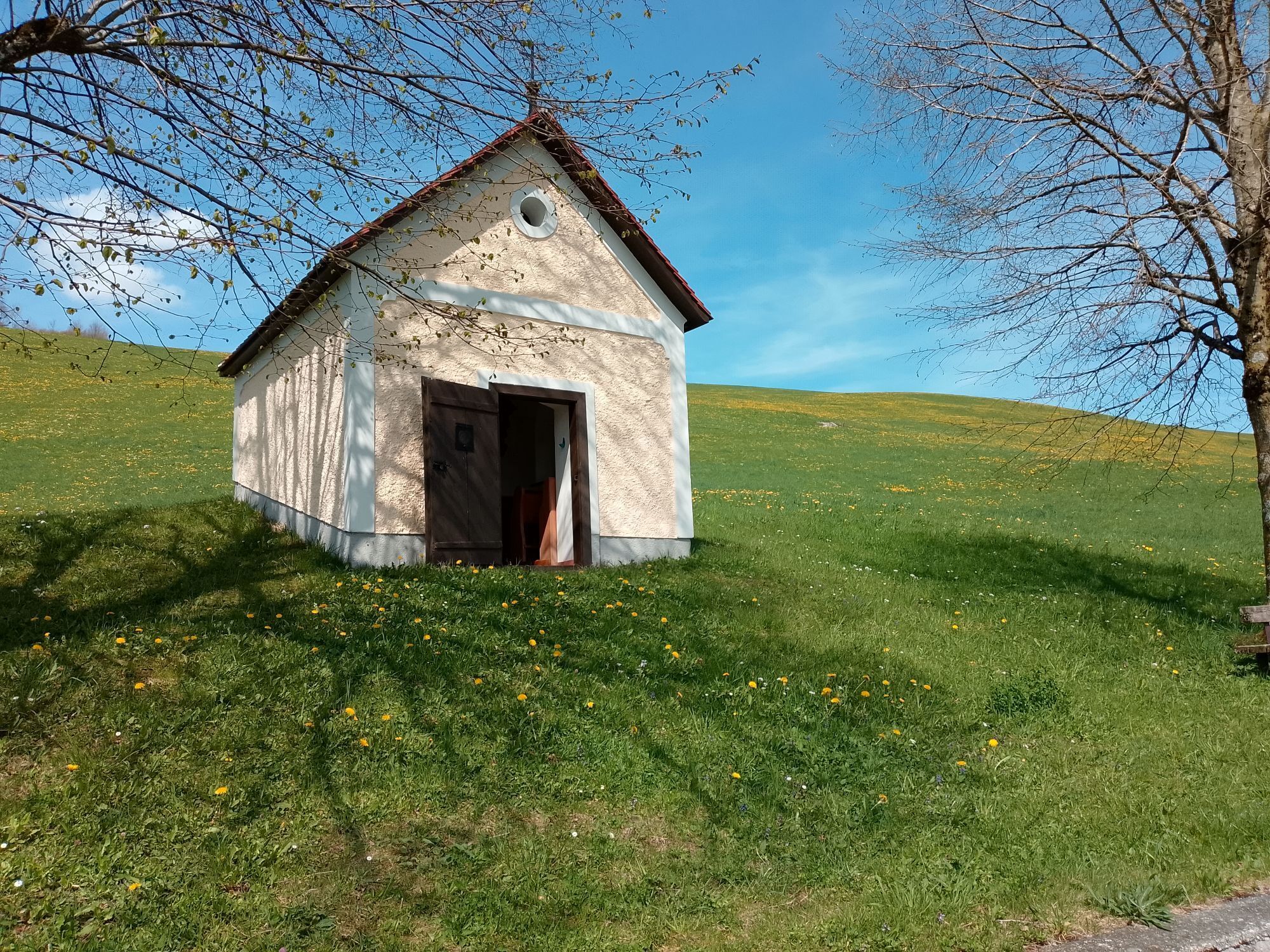
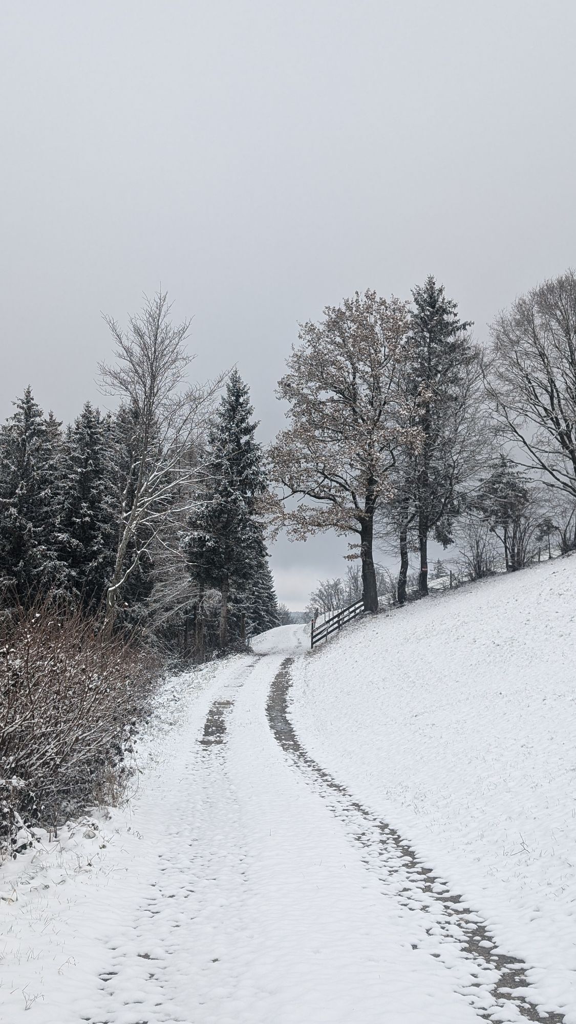
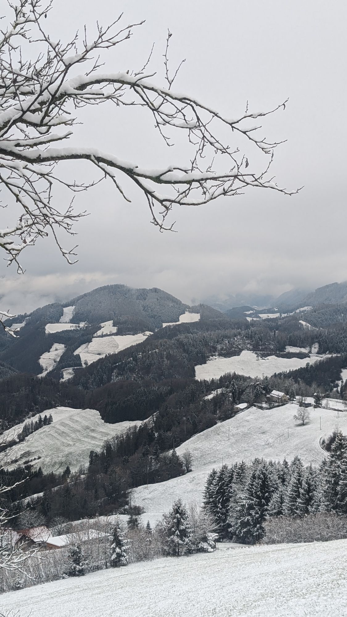
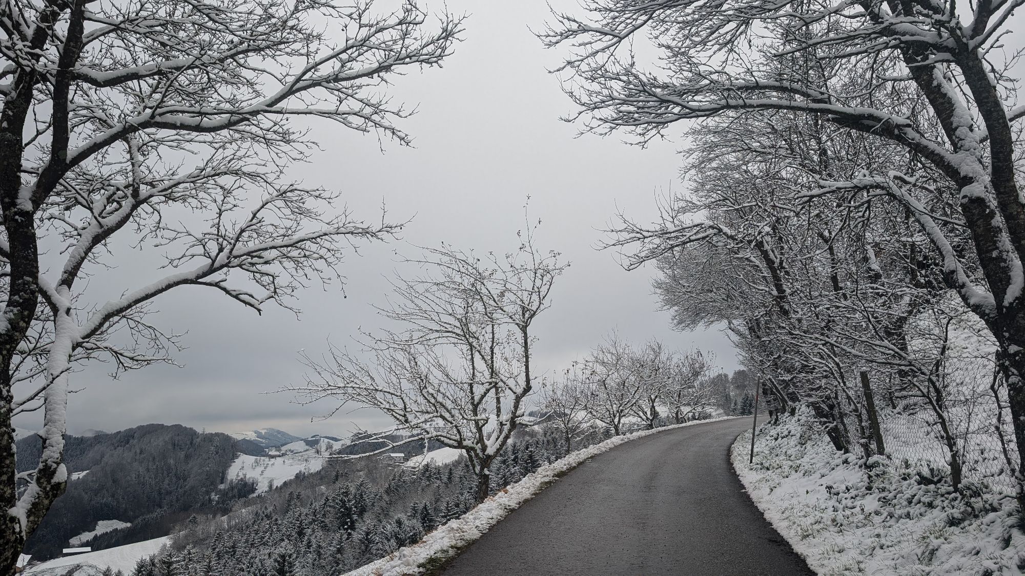
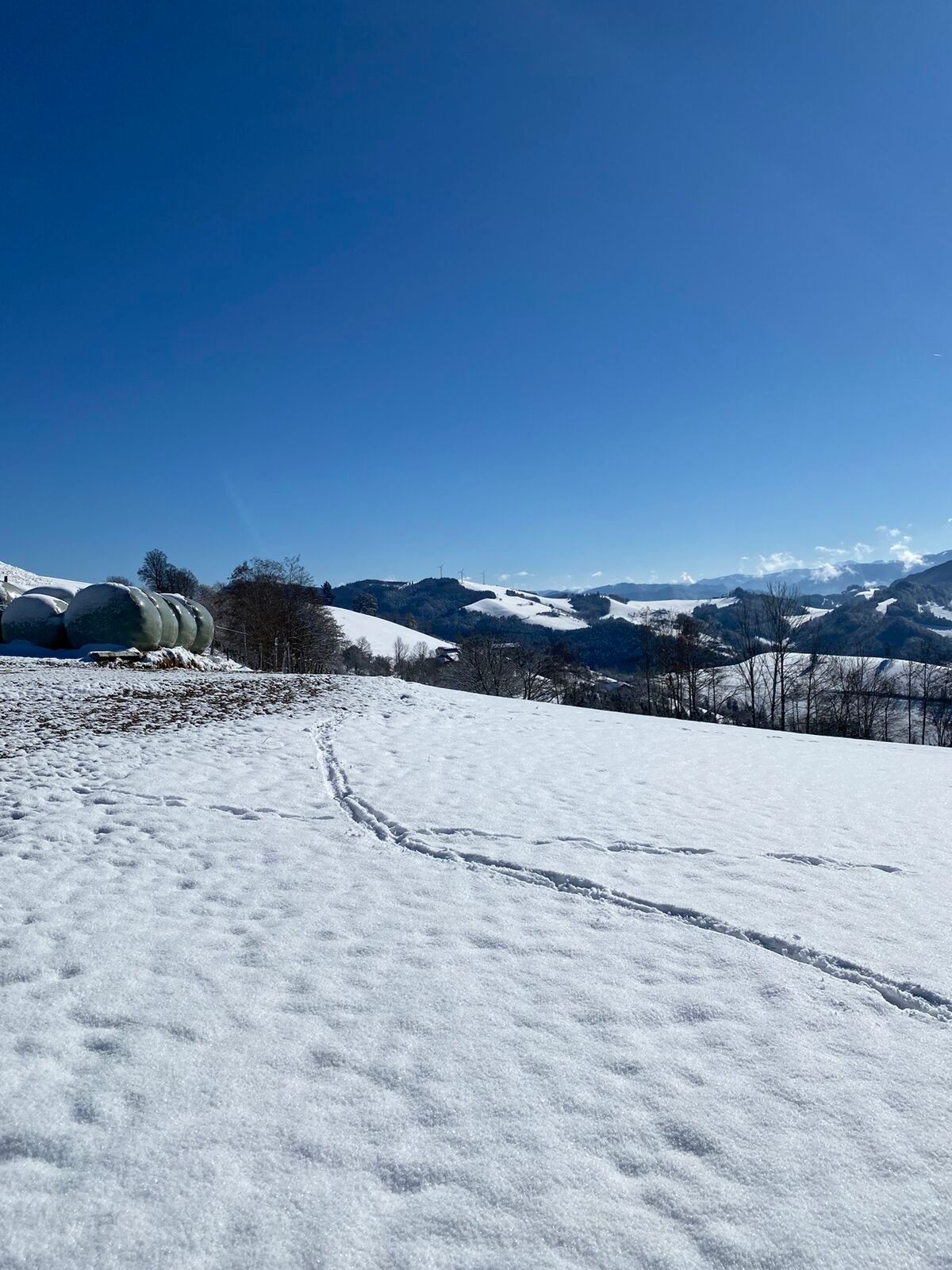
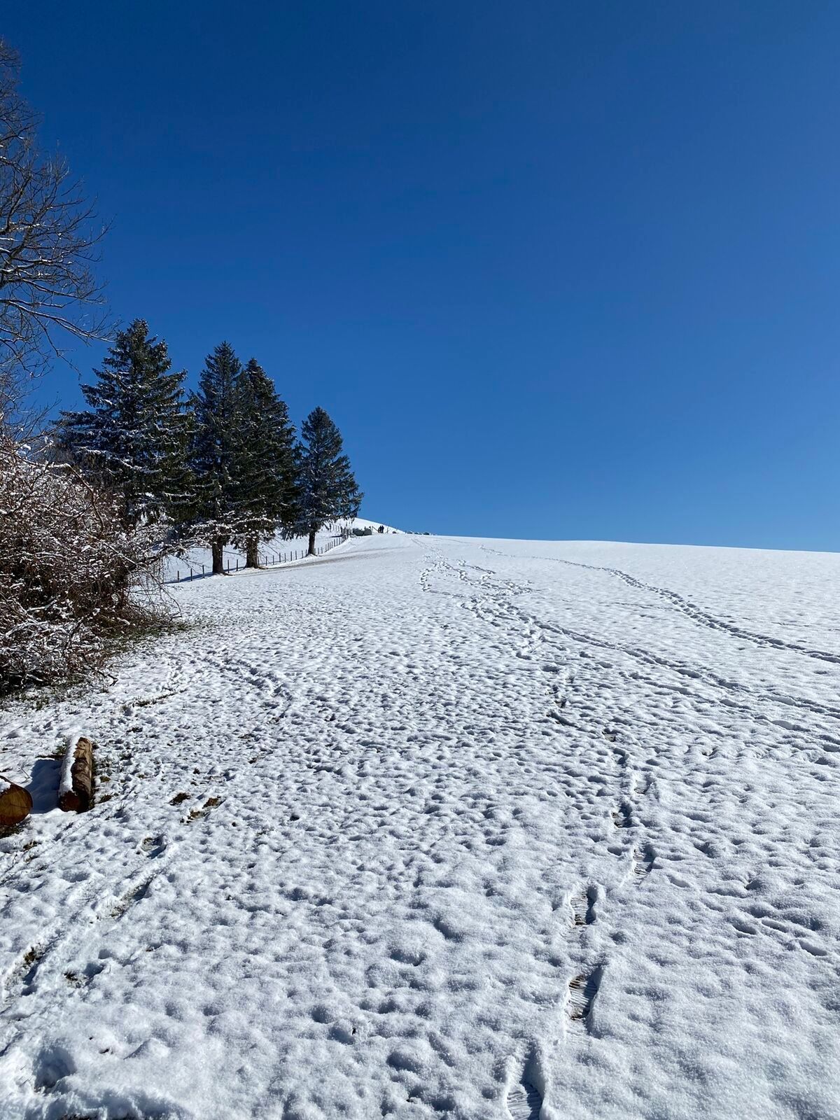
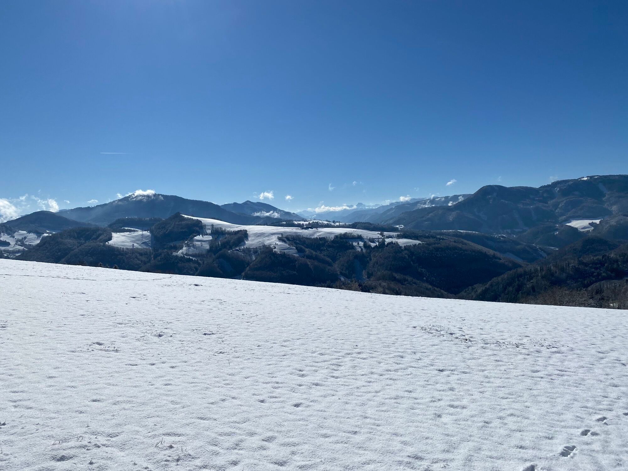
Afternoon tour for sun worshippers with connection to the Schwarzbergrunde and the Dambachrunde.

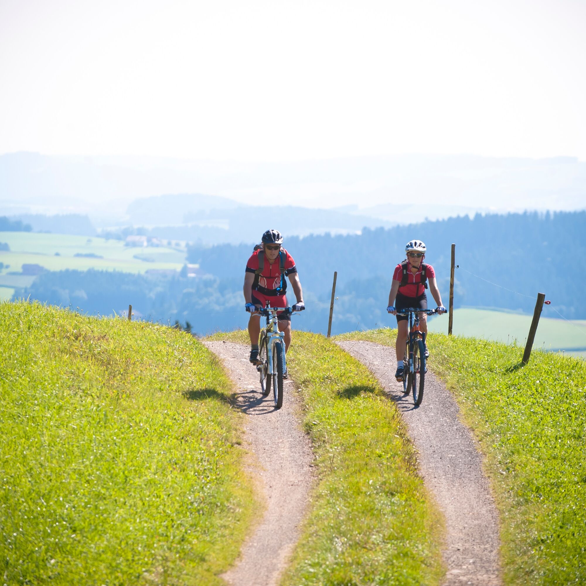

Stodergraben - Gschwendtbichl - Rumplhöhe - Güterweg Oberdambach - LaussaYou ride from the village square of Laussa in the direction of the open-air swimming pool, past the climbing gardens of the Kalksteinmauer Nature Park, into the Stodergraben. After the ascent sharp left and restful flat to Gwschendbichler. (Here connection direction Damberg, Dambach over the Schwarzberg) The Sonnbergrunde now leads slightly downhill and mostly flat to the next junction, where you could depart directly to Laussa. Scenically and conditionally more rewarding, however, is to return to Laussa via the Rumpl-Höhe. At the following descent you have to turn left onto Oberdambachstraße to get to Laussaer Bezirksstraße. In doing so, you will once again see part of the nature park at the "Langensteiner Mauer". After 1.6 km up the creek you are back in the middle of Laussa.
Sun and rain protection, repair kid for minor bike breakdowns
Inquire in advance about any road or trail closures along the route.
You can obtain map material at www.steyr-nationalpark.at
Pridobite vpogled
Vedno v živo na mestu z več kot 9.500 spletnimi kamerami. bergfex Kot uporabnik Pro si lahko zdaj ogledate ustrezne spletne kamere za številne izlete v aplikaciji izleti iz. Tako si lahko neposredno ogledate trenutne razmere.
Priljubljeni izleti v okolici
-
4.7
Grünburger Hut via Dorngraben Molln
srednjaPohodništvo 3.43 km -
4.6
Schoberstein (from Molln)
srednjaPohodništvo 3.63 km -
4.8
Steinerner Jäger (1185m) und Schieferstein (1206m) ab Parkplatz Hochhabichler
srednjaPohodništvo 4.46 km -
4.7
Steinerner Jäger (1185m) und Schieferstein (1206m) ab Parkplatz Hack
težkoPohodništvo 8.58 km -
4.6
Dürres Eck - Gaisberg - Hochbuchberg
srednjaPohodništvo 11.2 km -
4.6
Pfaffenmauer - Schoberstein - Gipfel der Lust Gasthof Klausriegler, Oberösterreich/Österreich
srednjaPohodništvo 9.72 km -
4.5
Ternberg -Schoberstein
srednjaPohodništvo 6.60 km -
4.8
Enns Active Trail Ternberg
srednjaPohodništvo 9.61 km -
4.3
Gaisberg und Dürres Eck über Mollner Hütte
srednjaPohodništvo 9.98 km -
4.4
Kleine Gipfelrunde Glasenberg
svetlobaPohodništvo 4.99 km
Pohodništvo in sledenje


Ne zamudite ponudb in navdiha za naslednje počitnice
Vaš e-poštni naslov je bil dodan na poštni seznam.





