






Enns Active Trail Ternberg

Stopnja težavnosti: T1
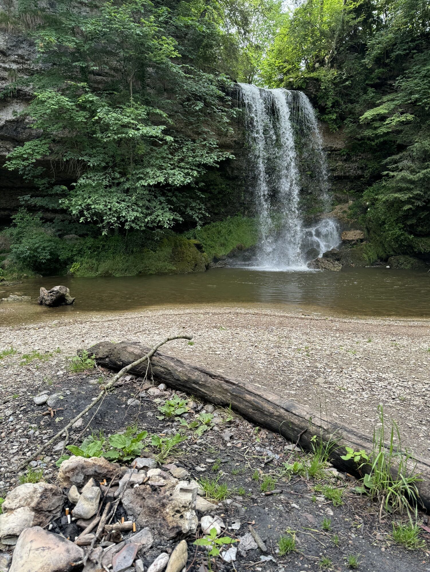
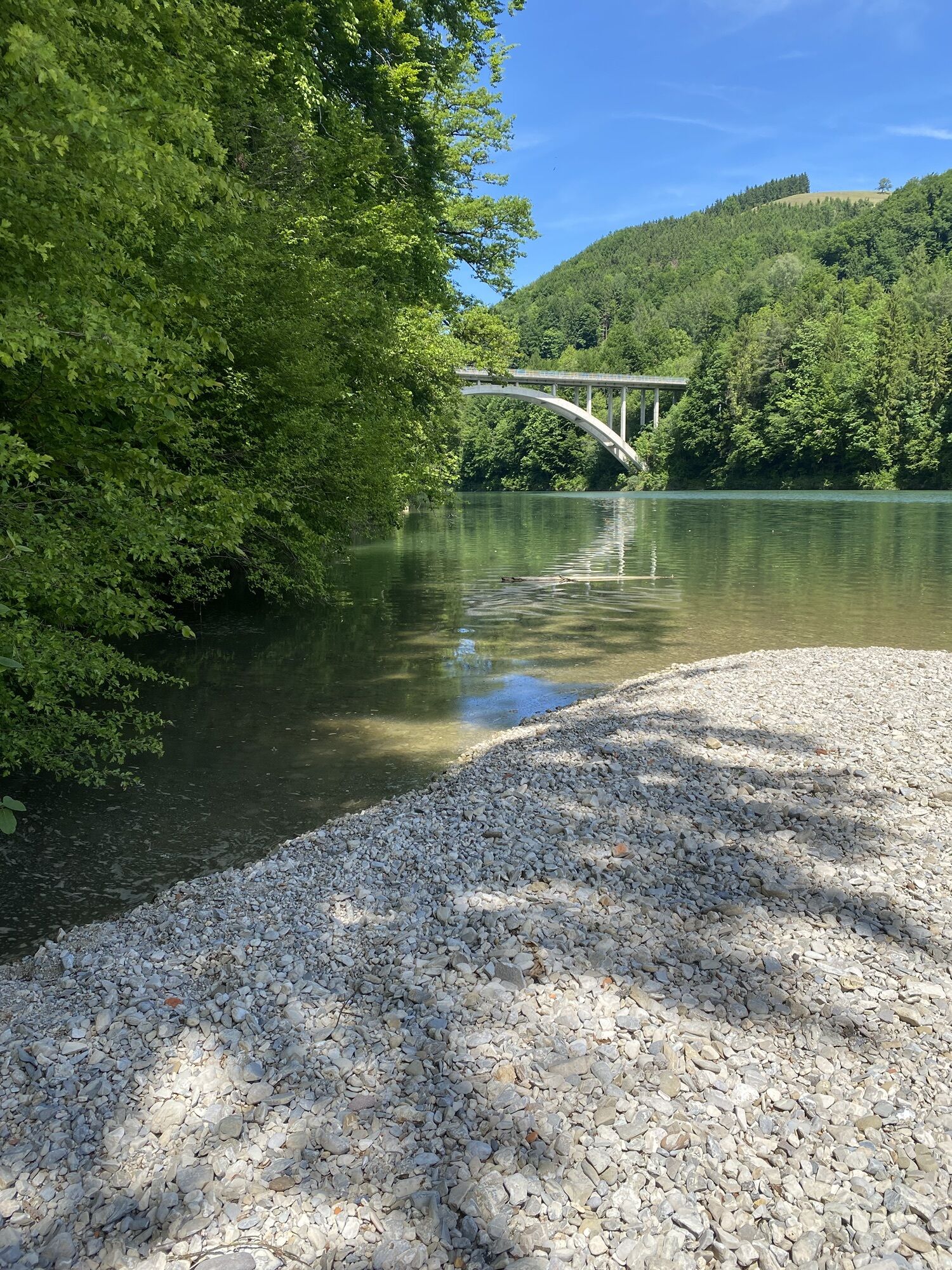
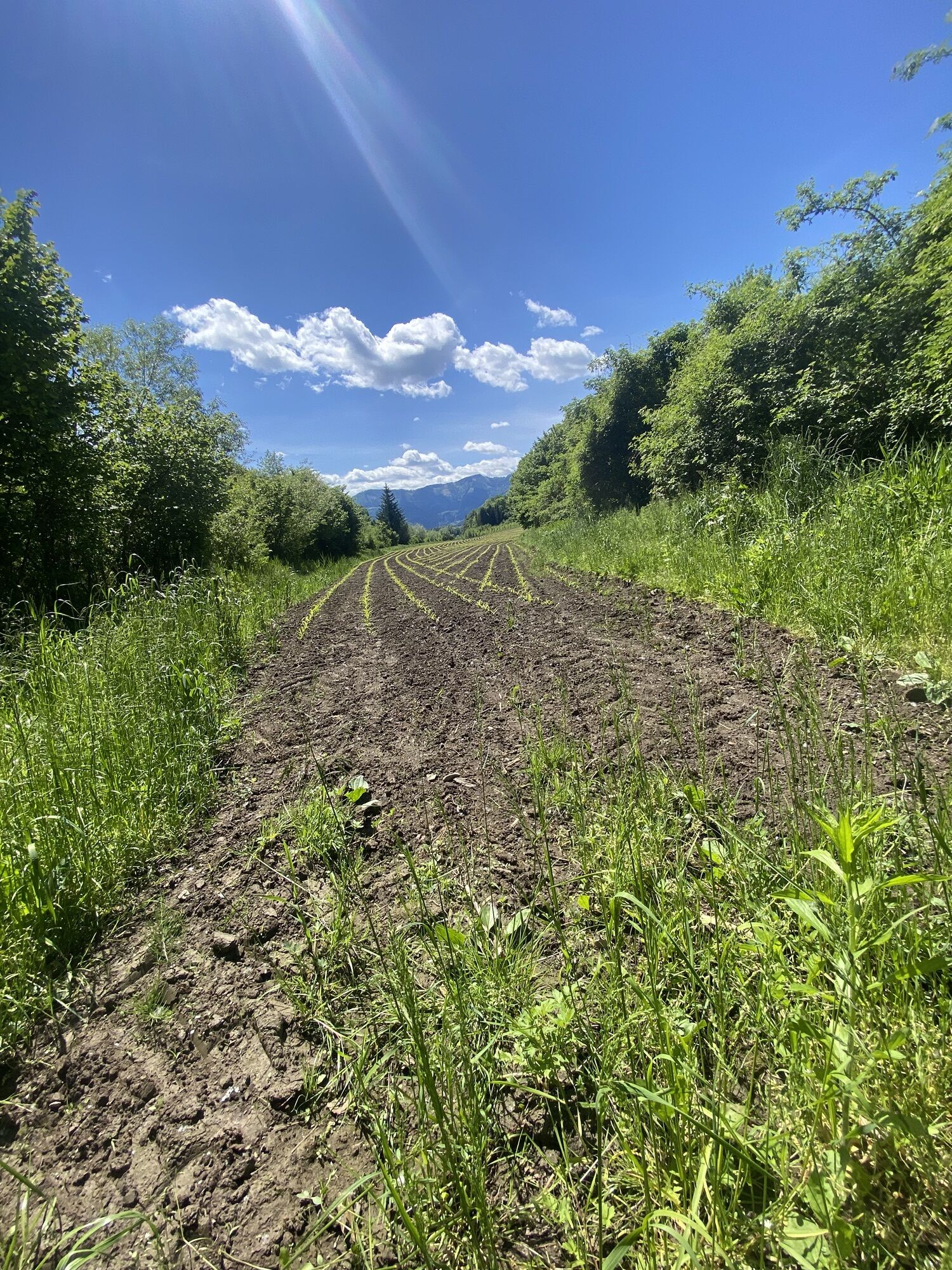
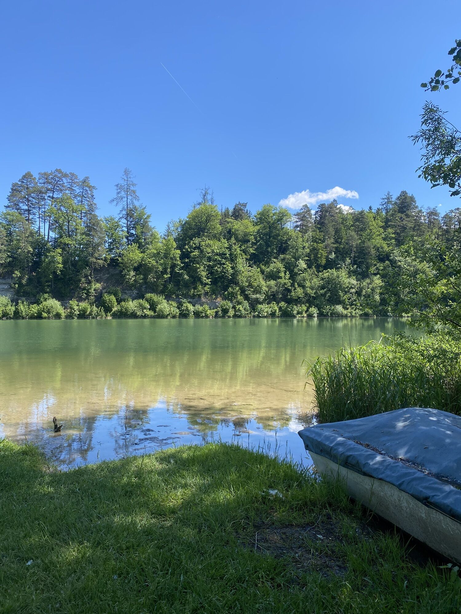
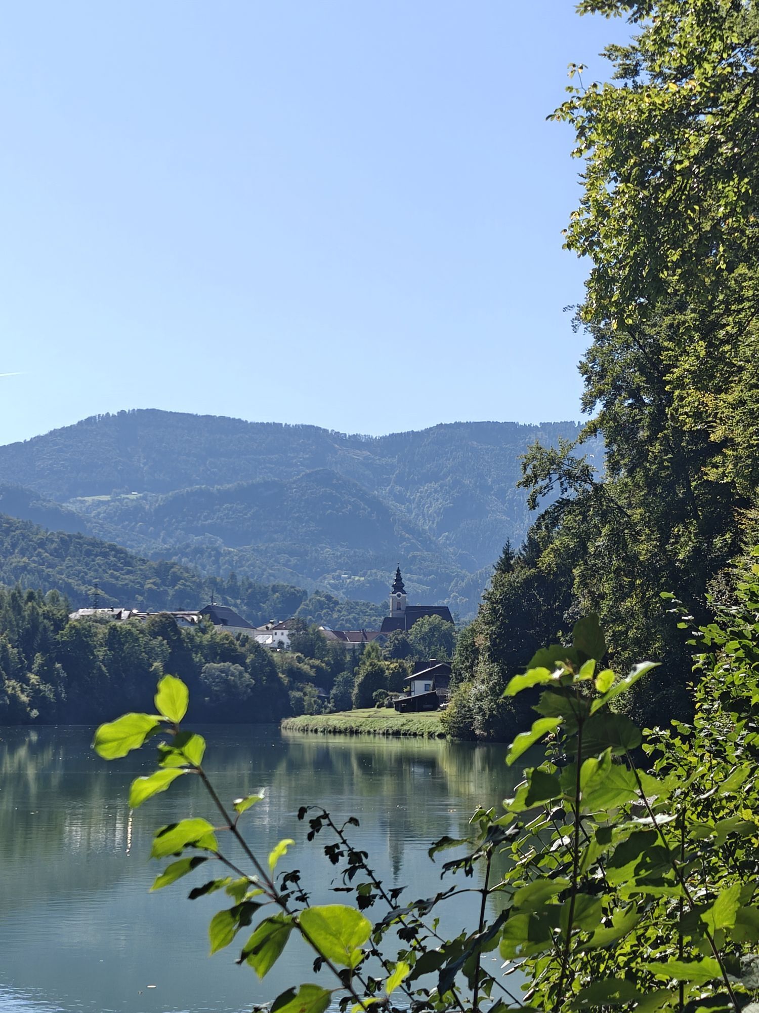
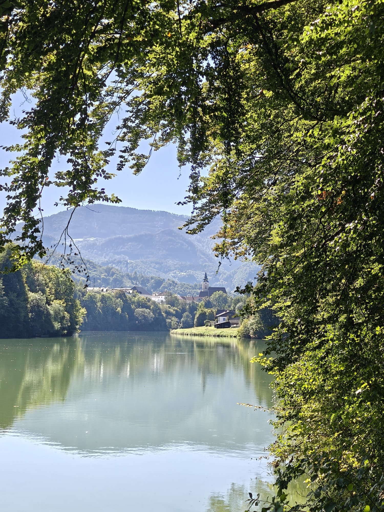



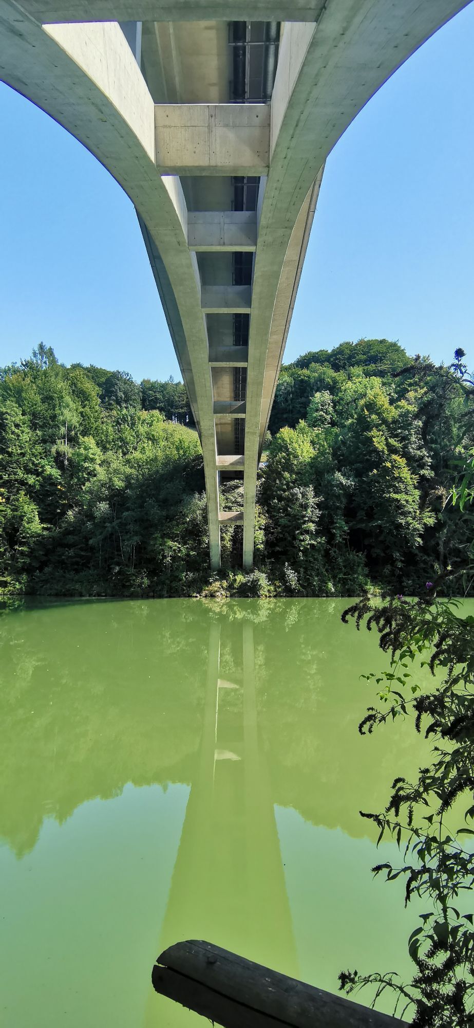
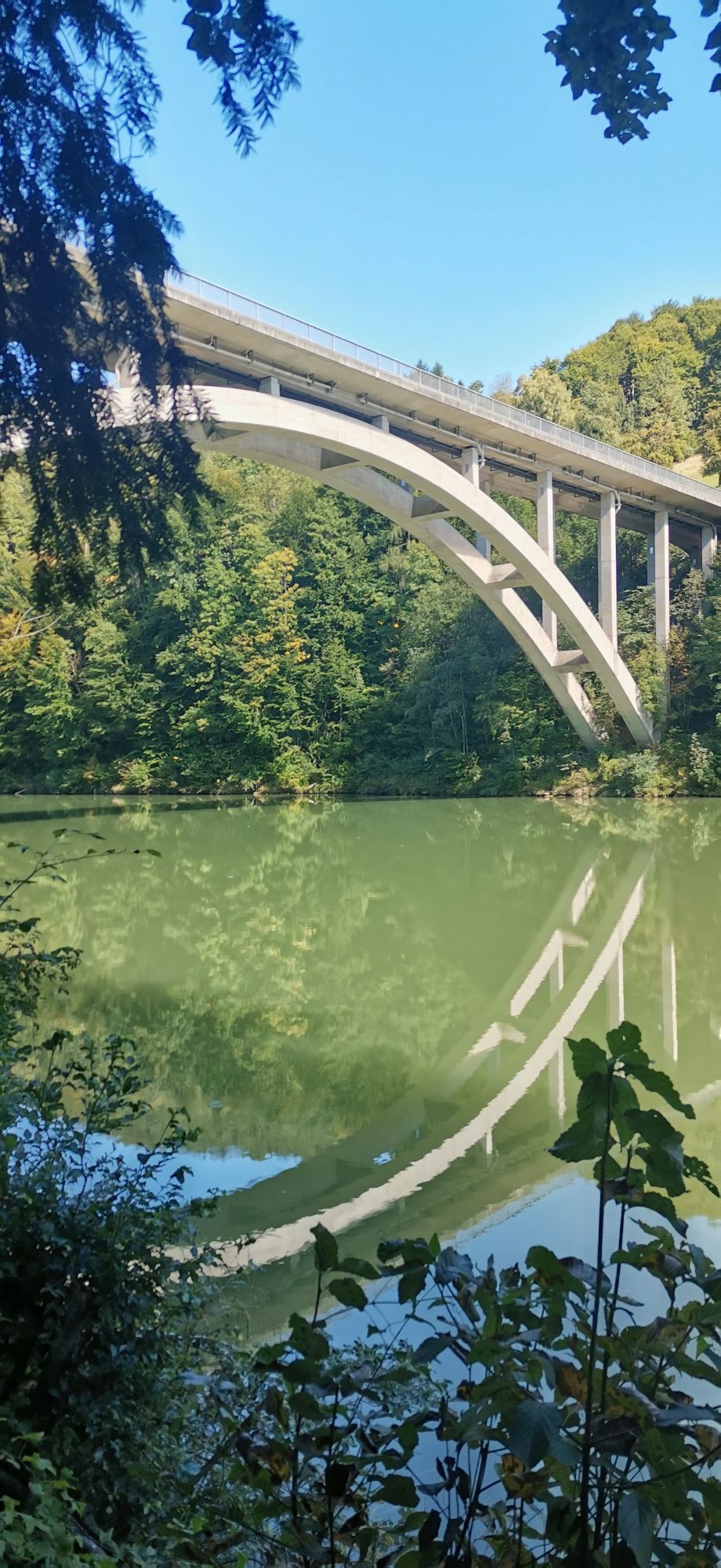
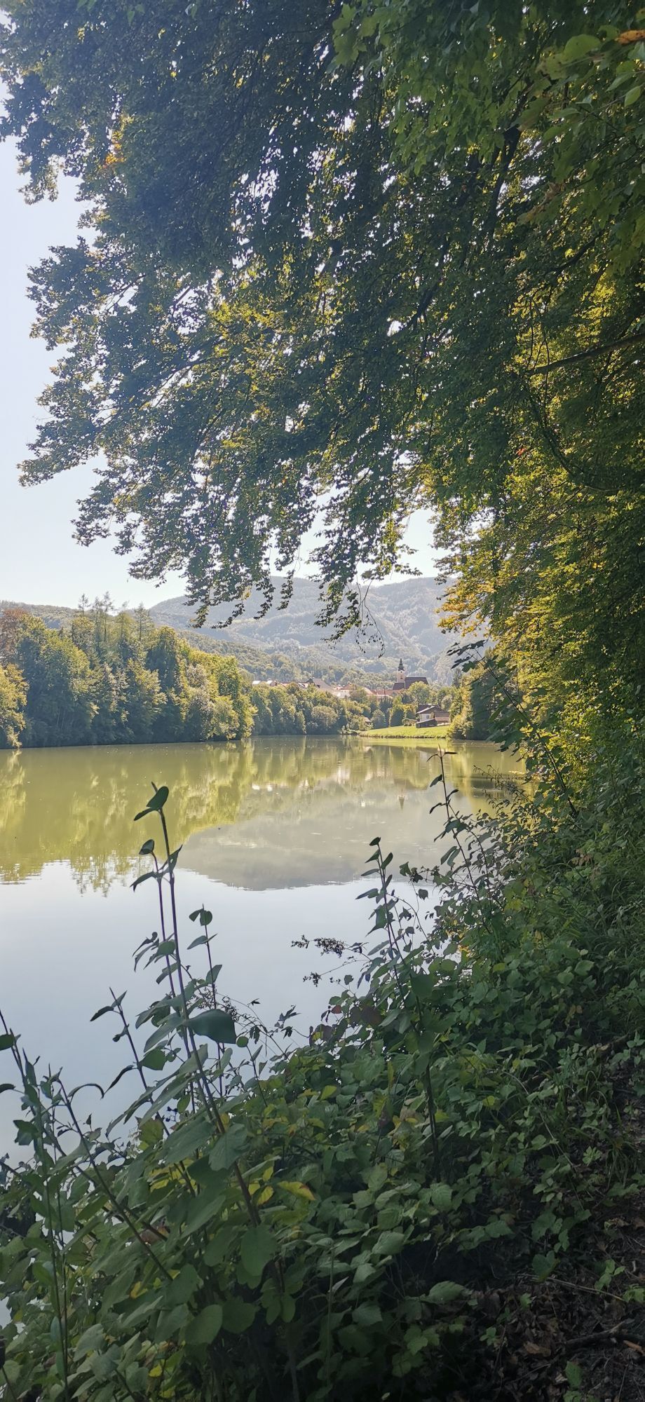
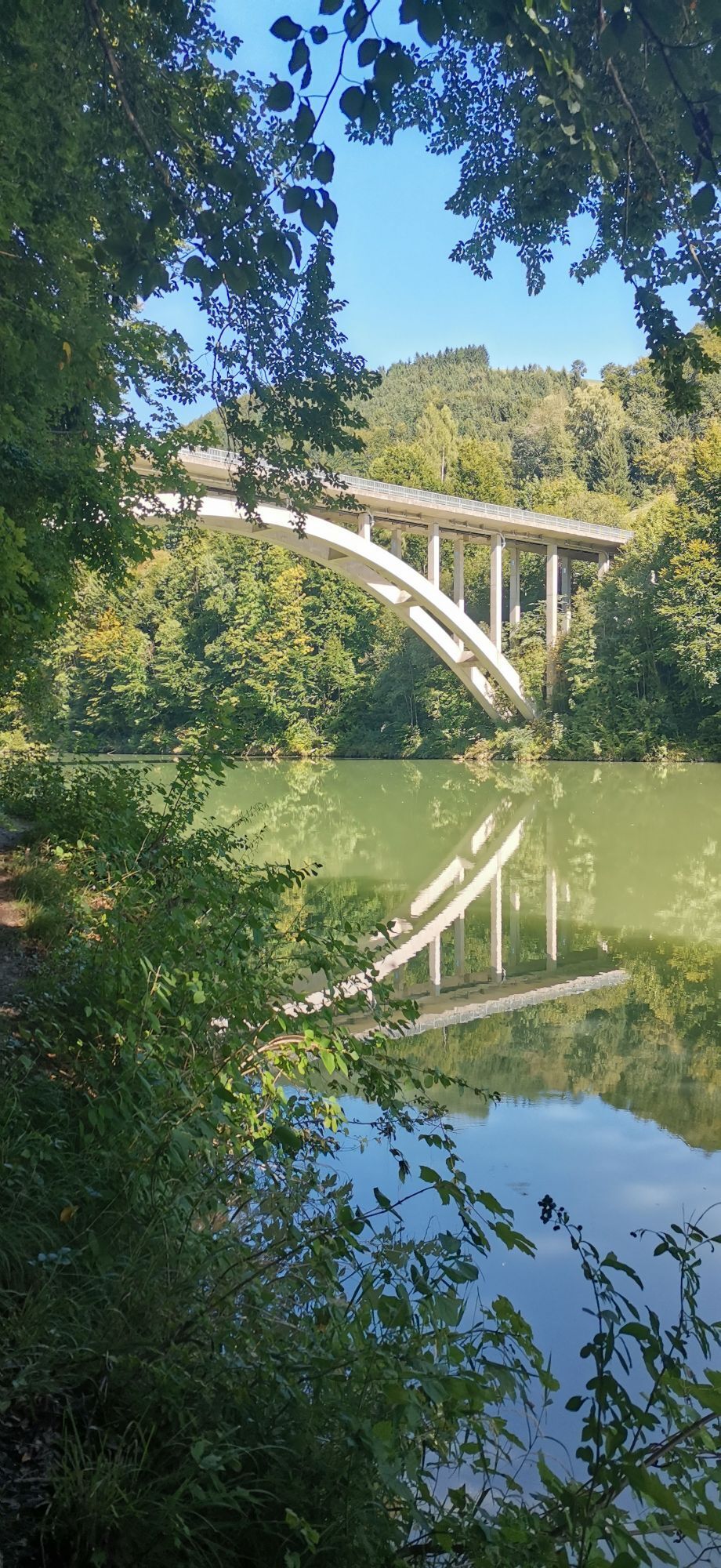
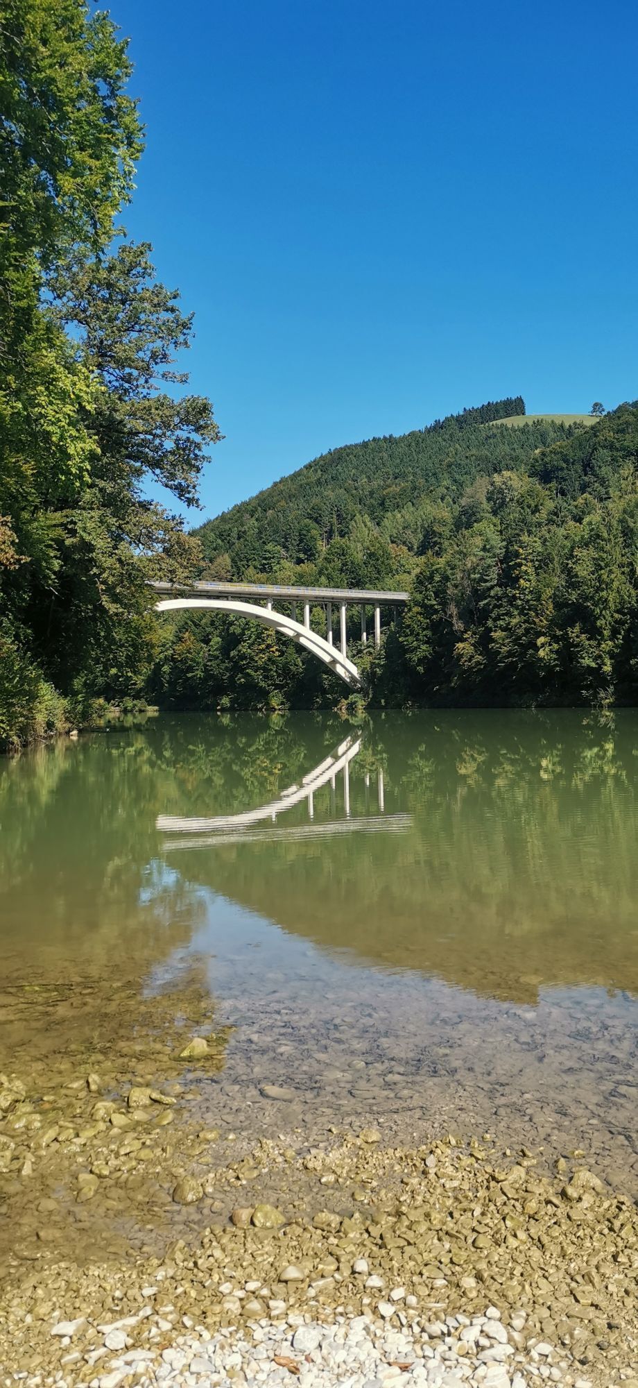
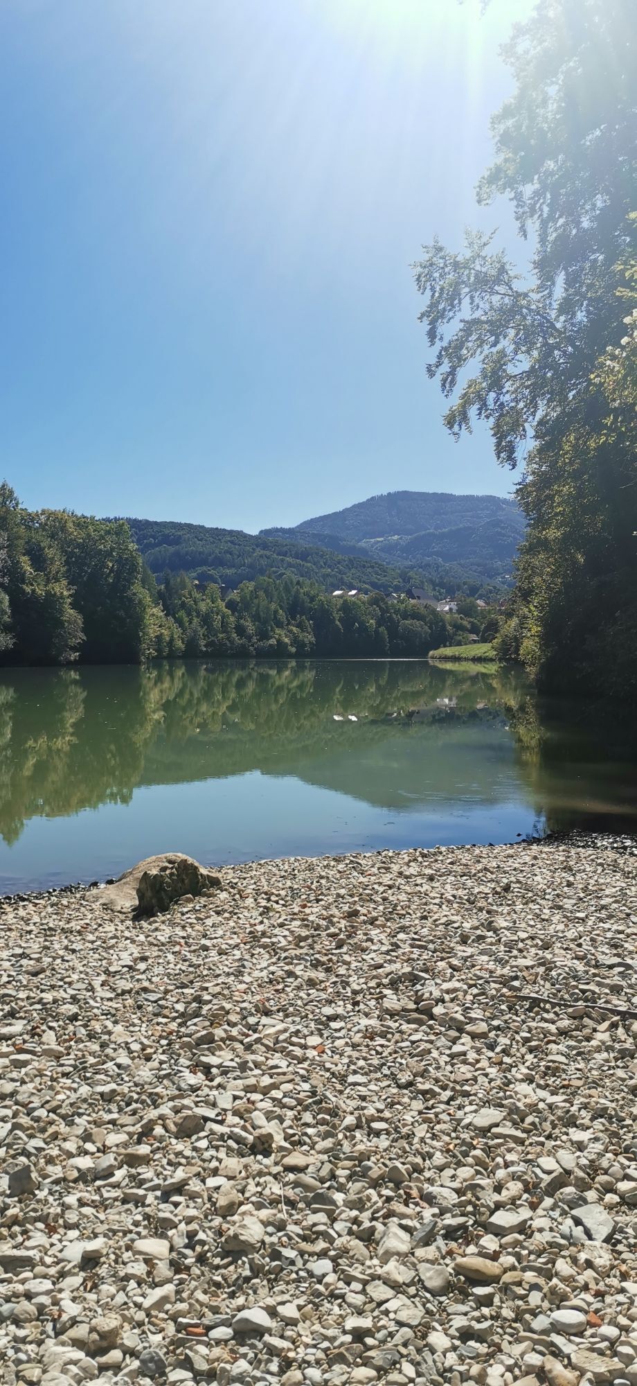
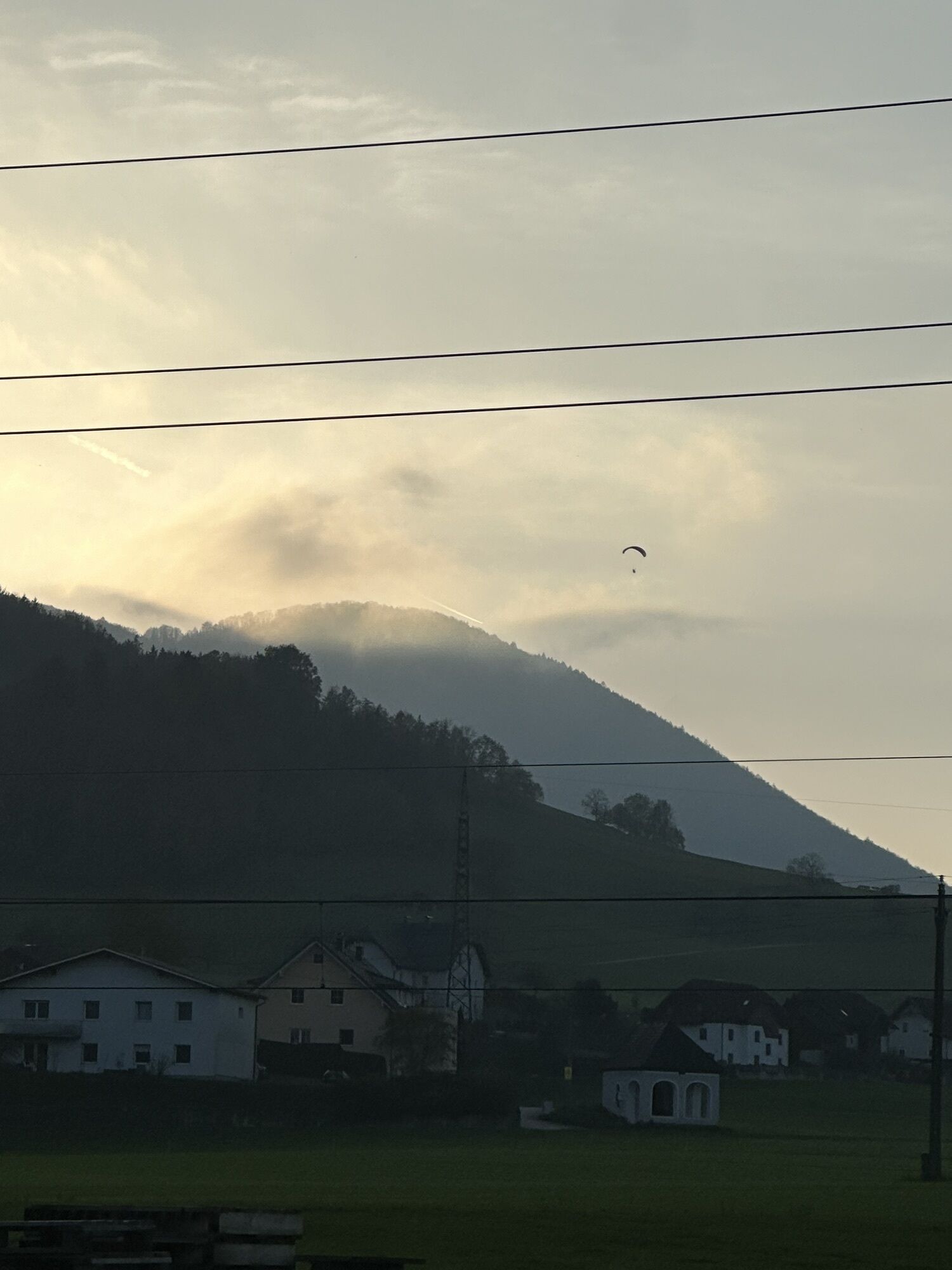
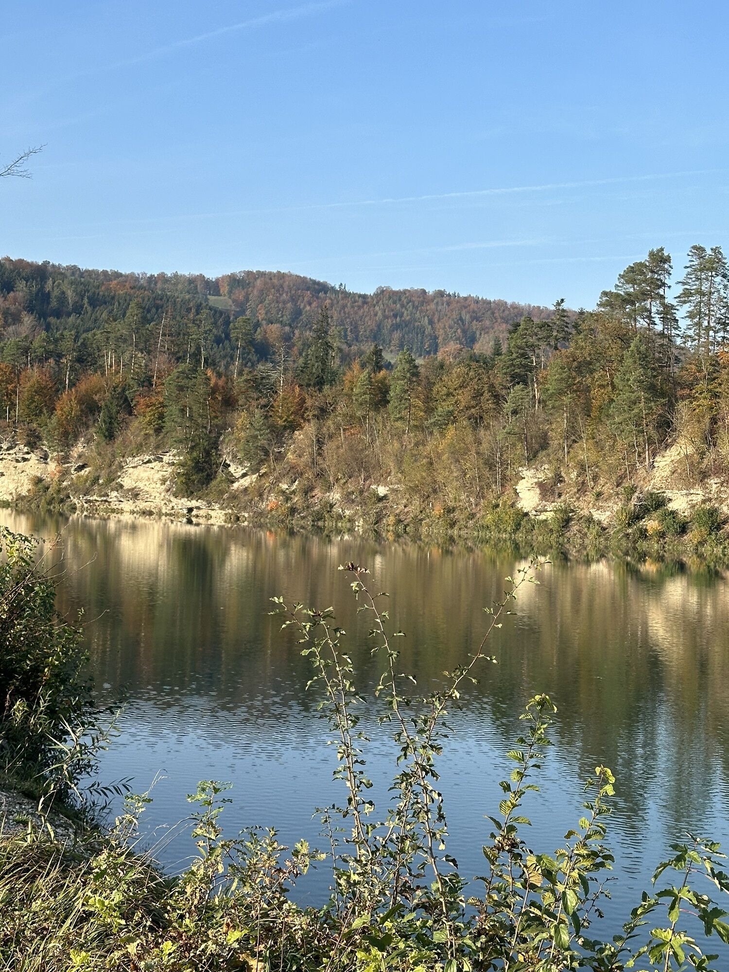
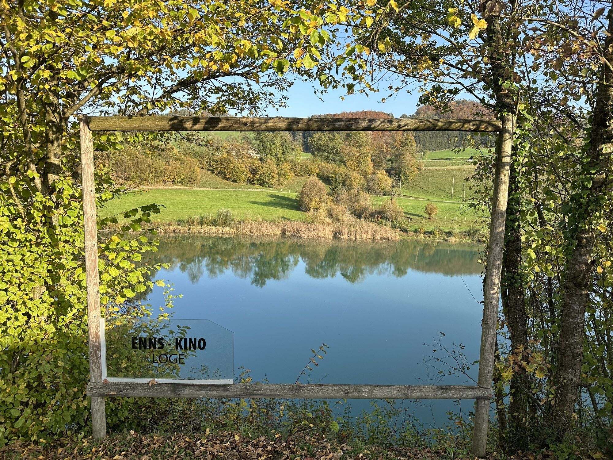
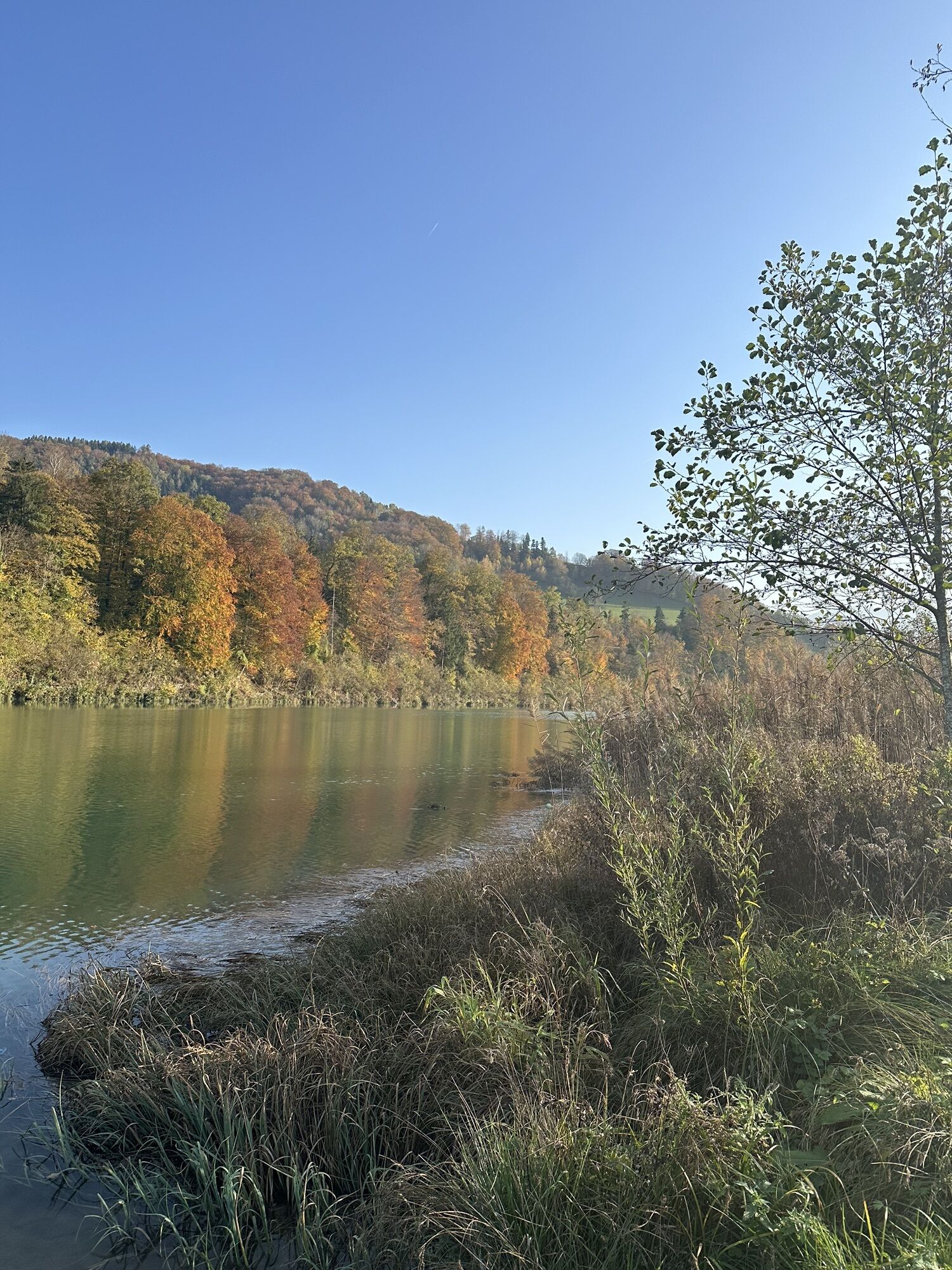

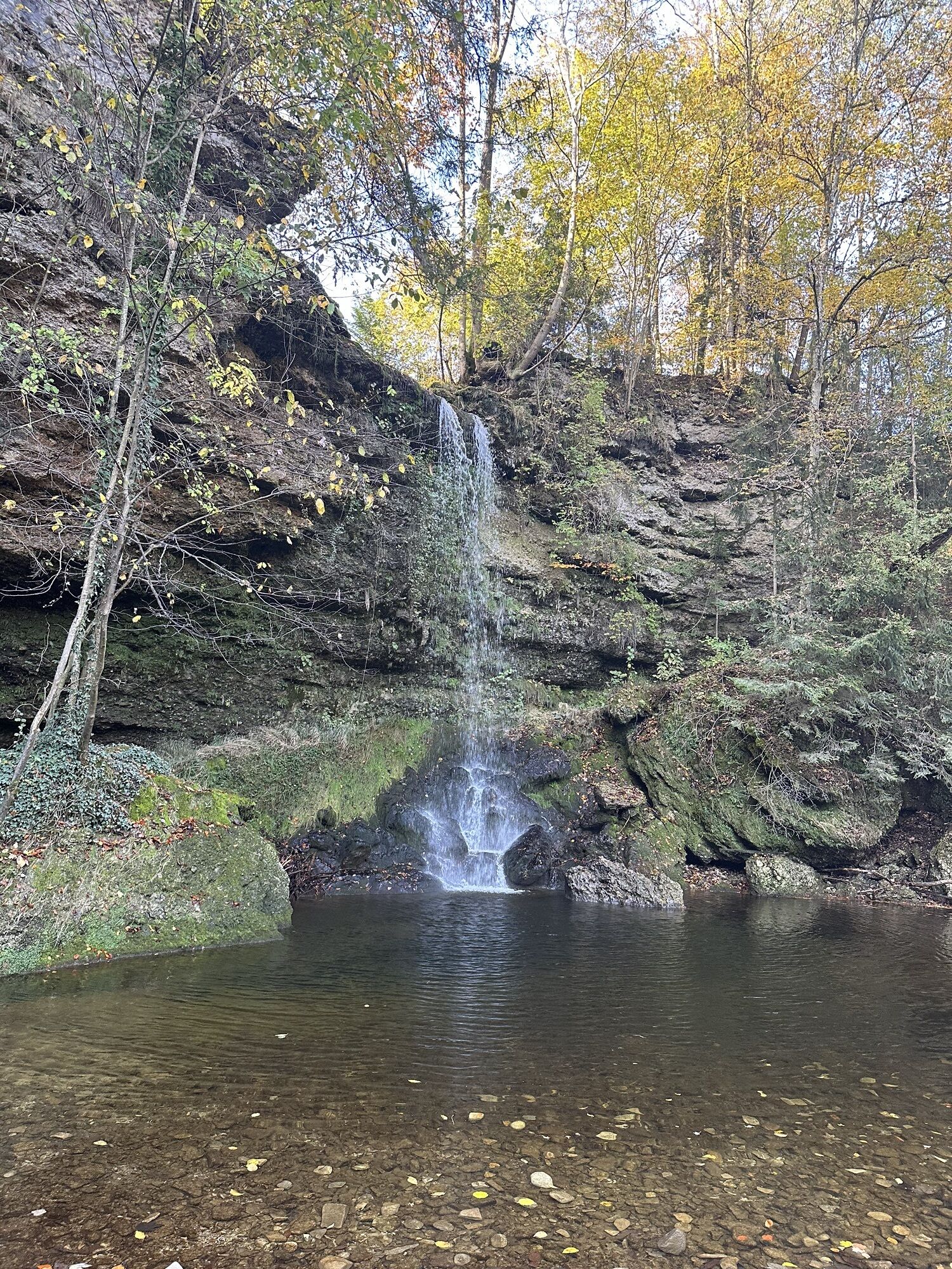
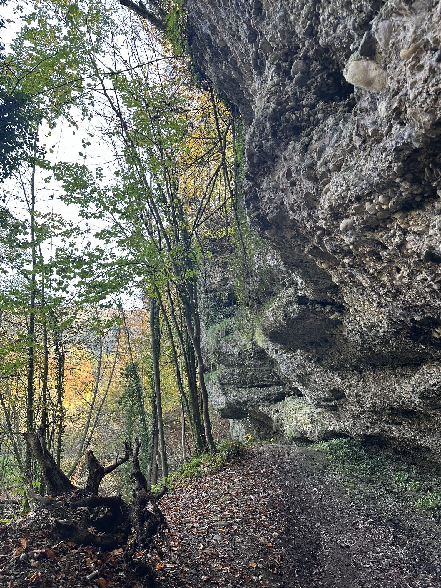
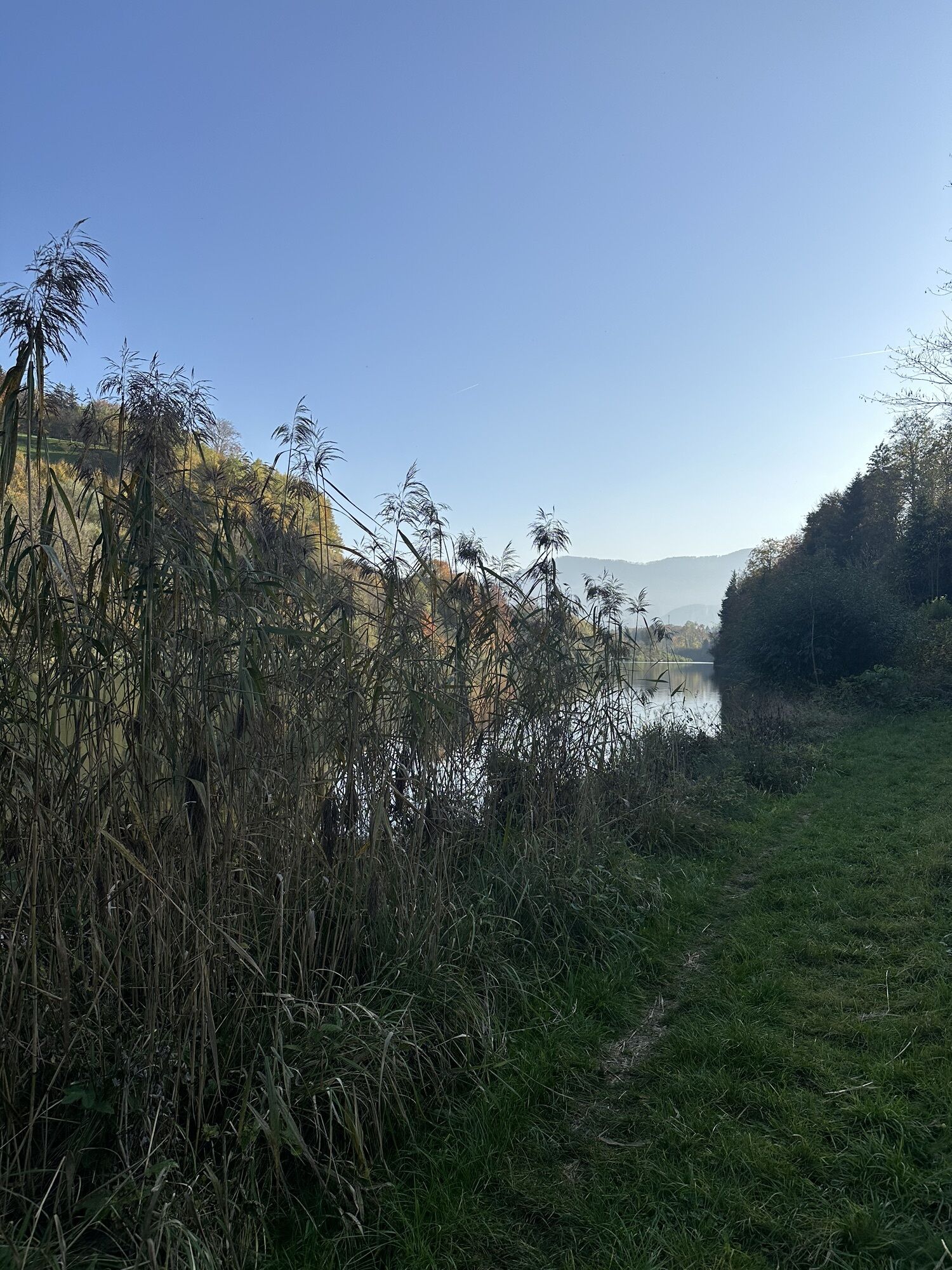
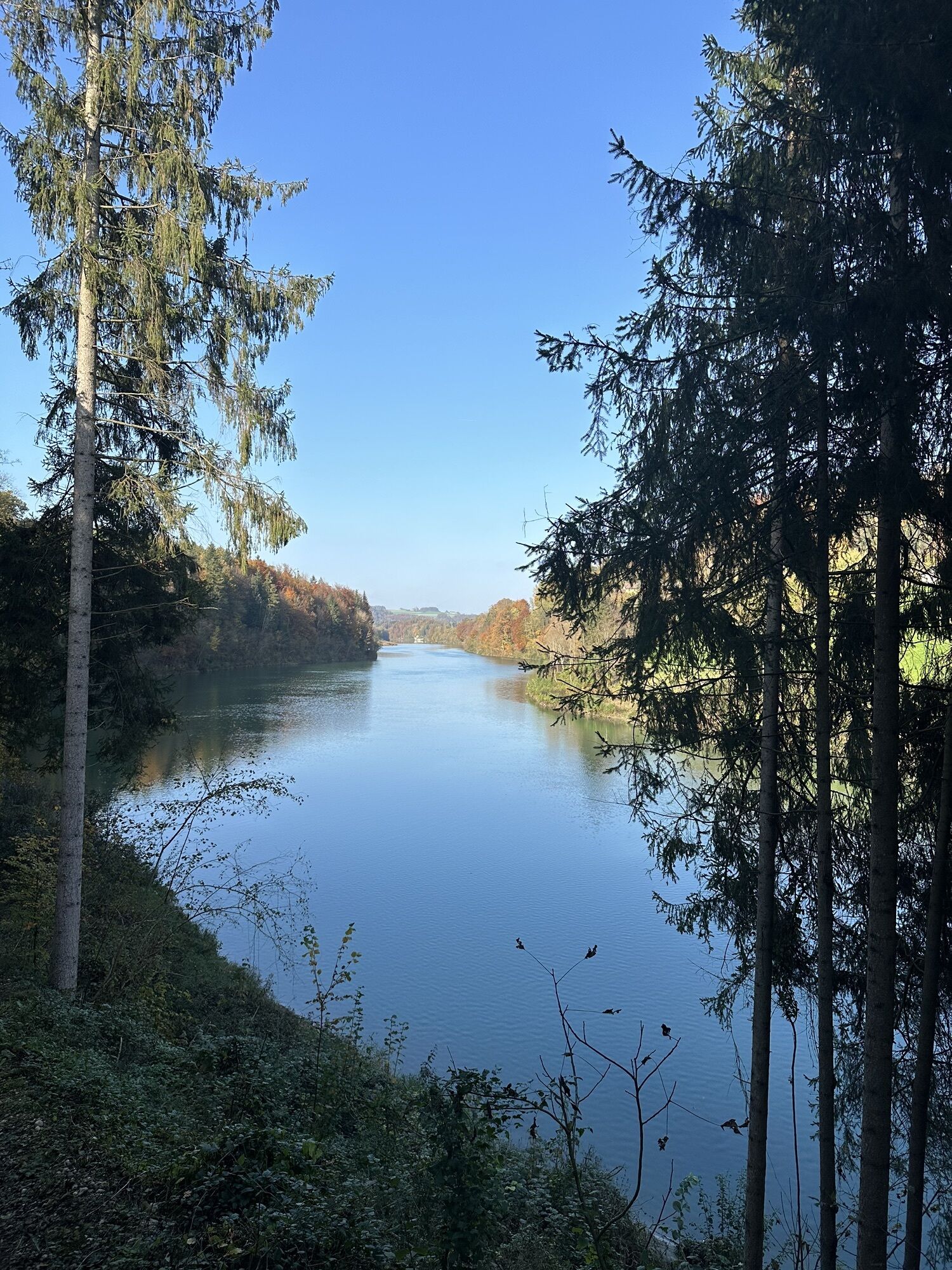
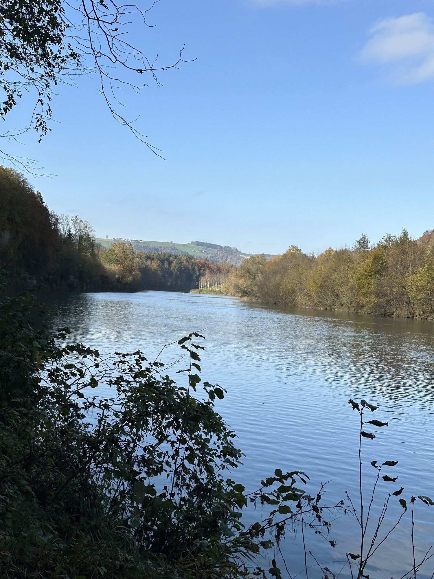
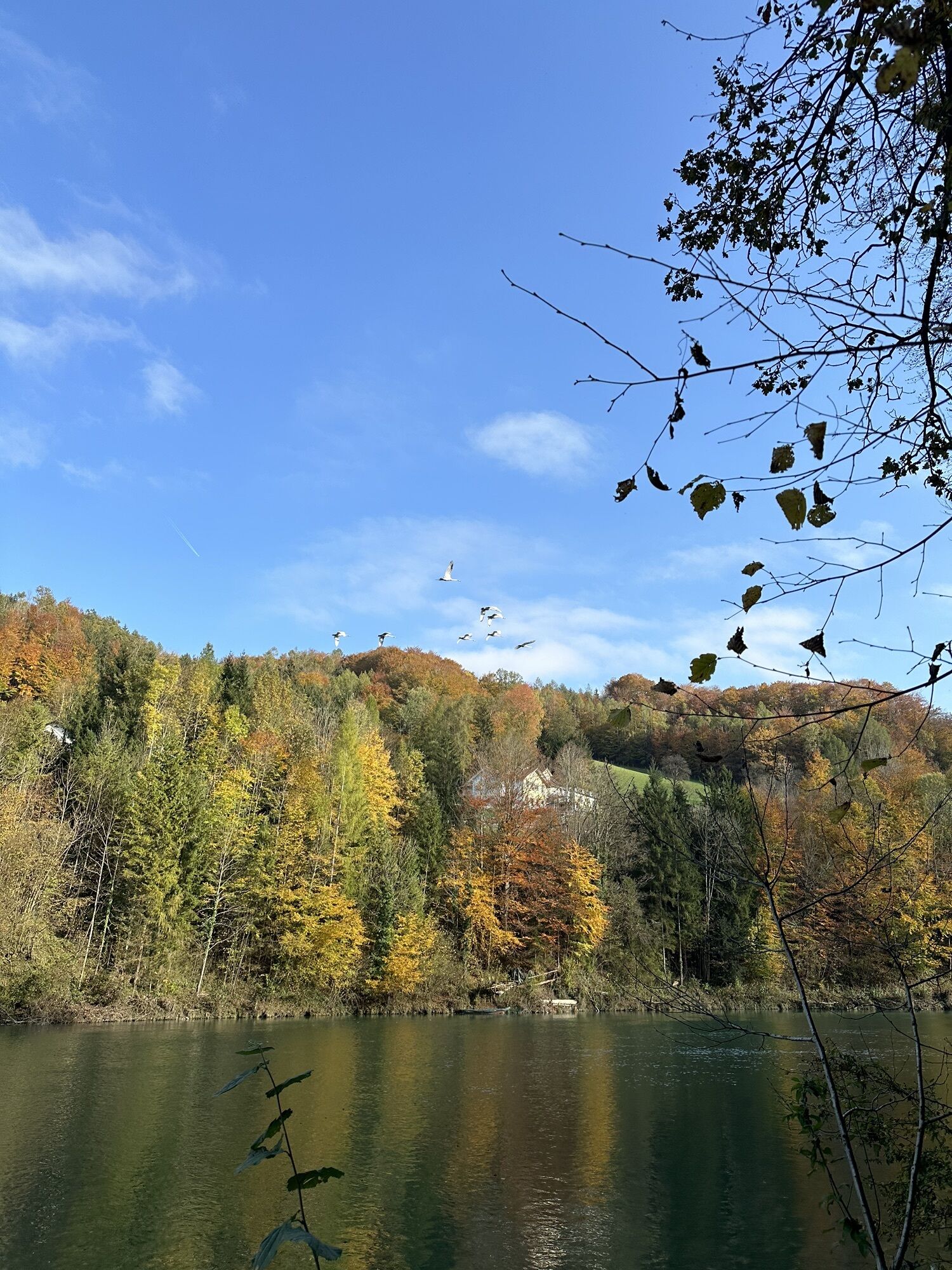
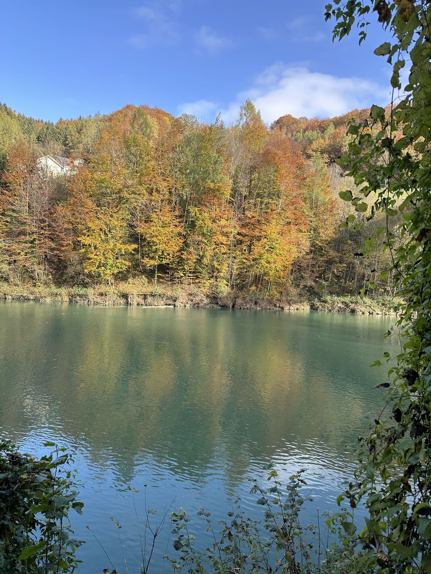
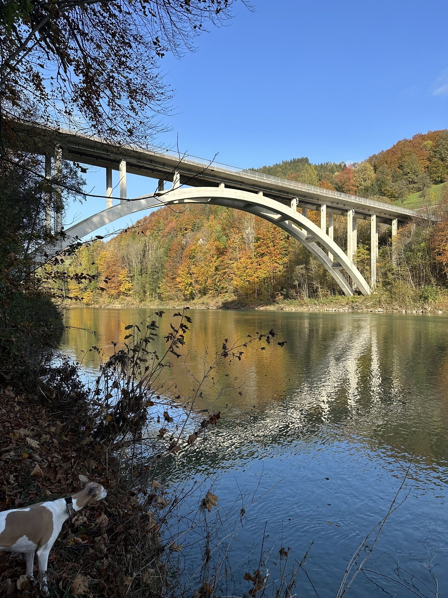
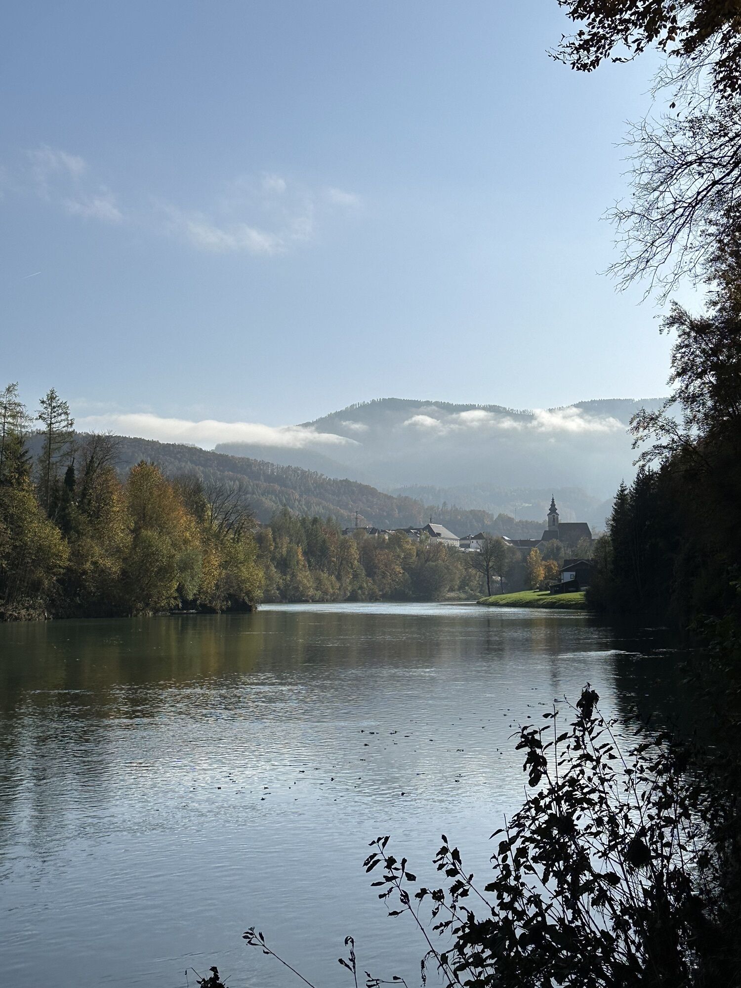
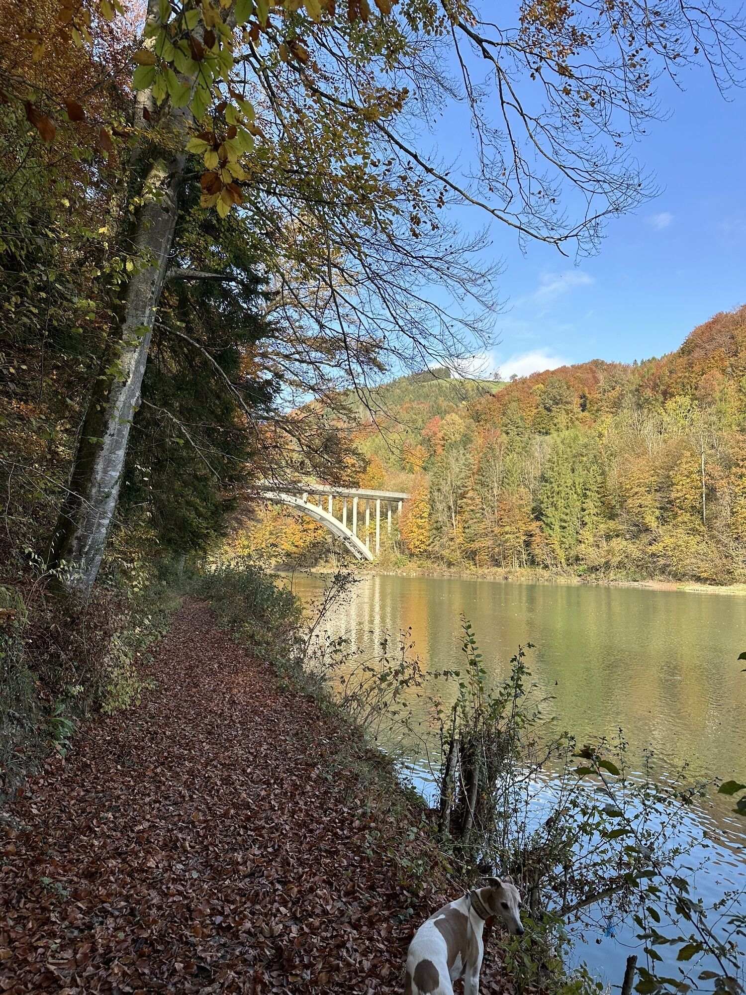
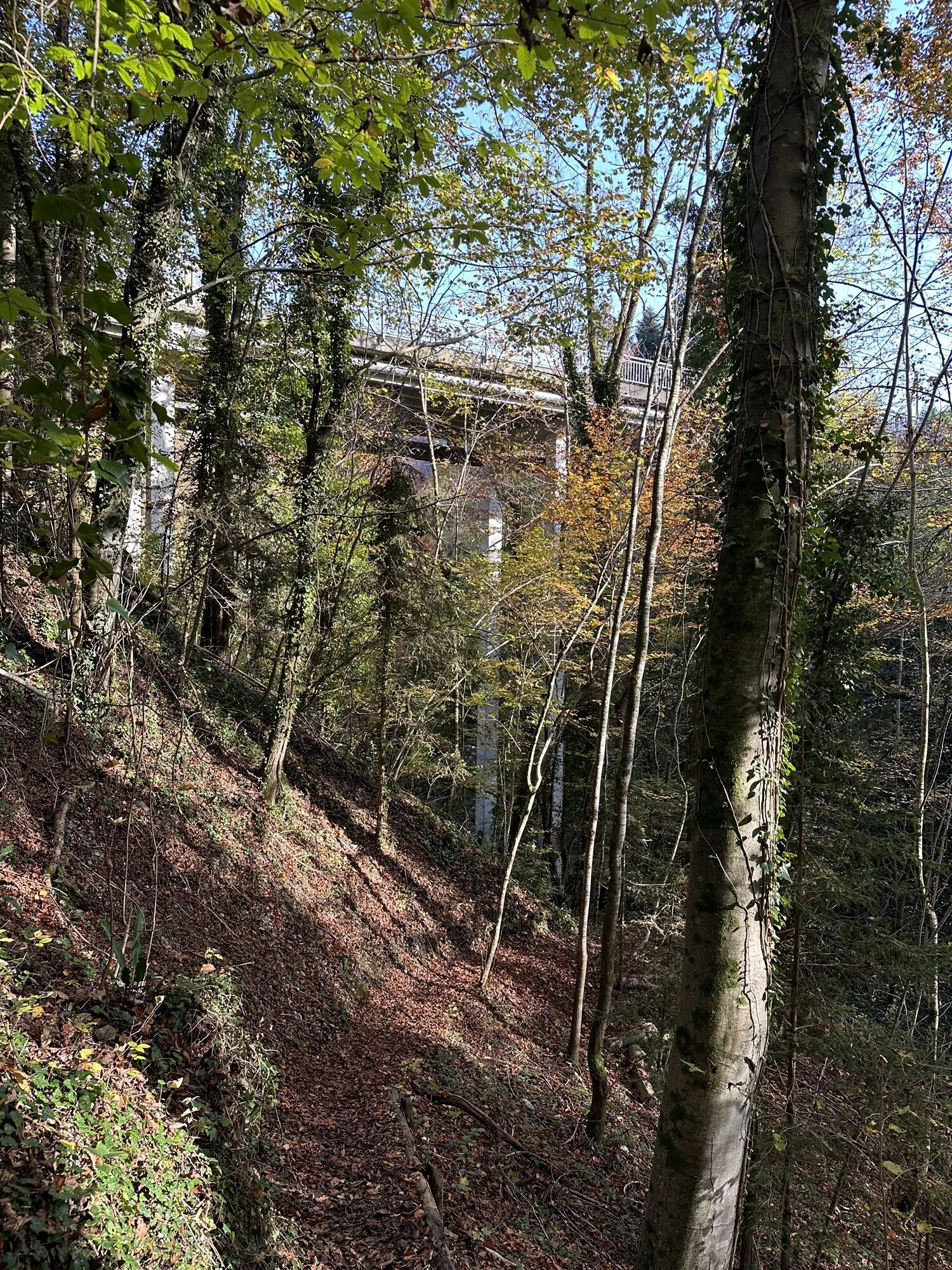
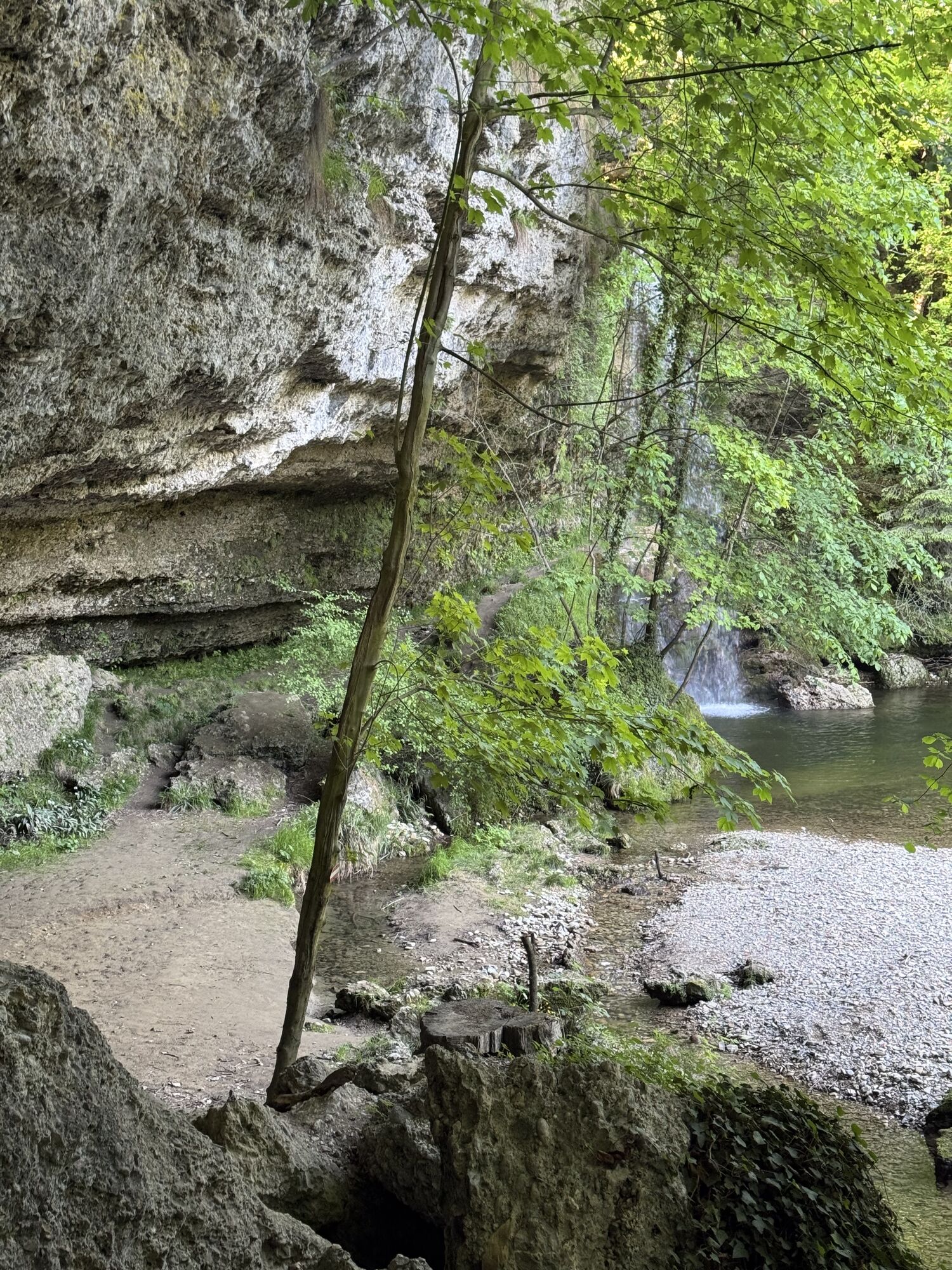
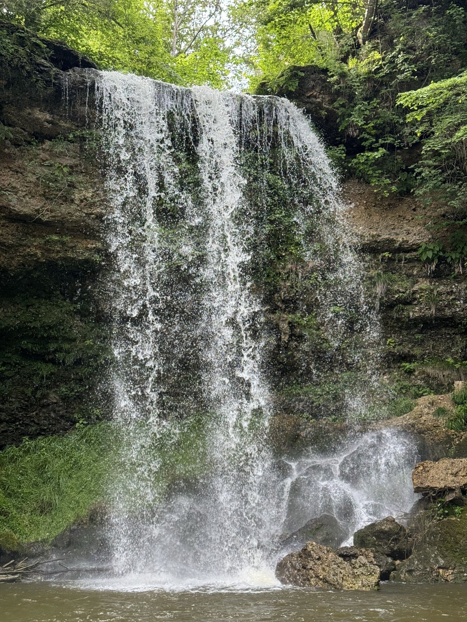
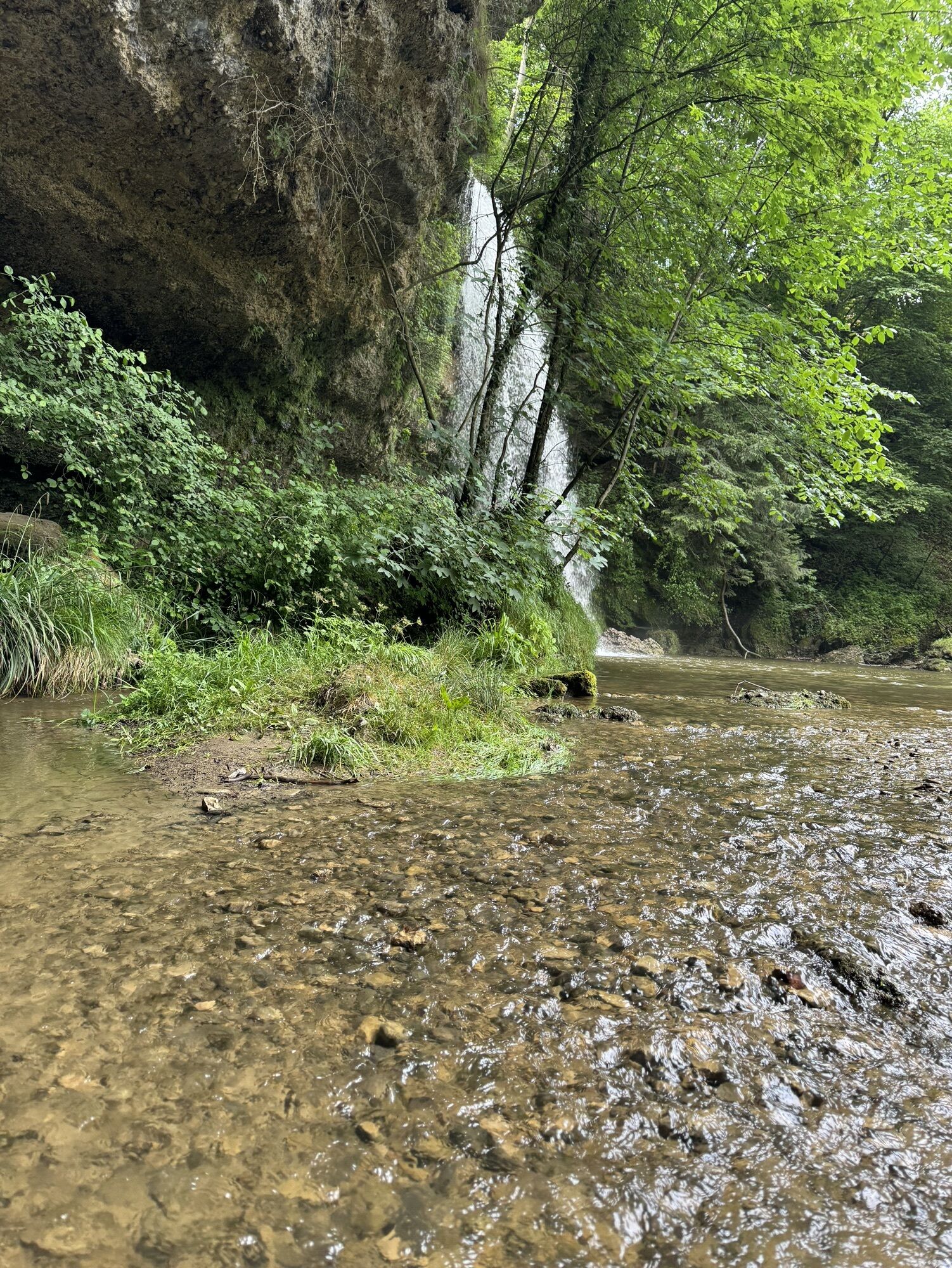
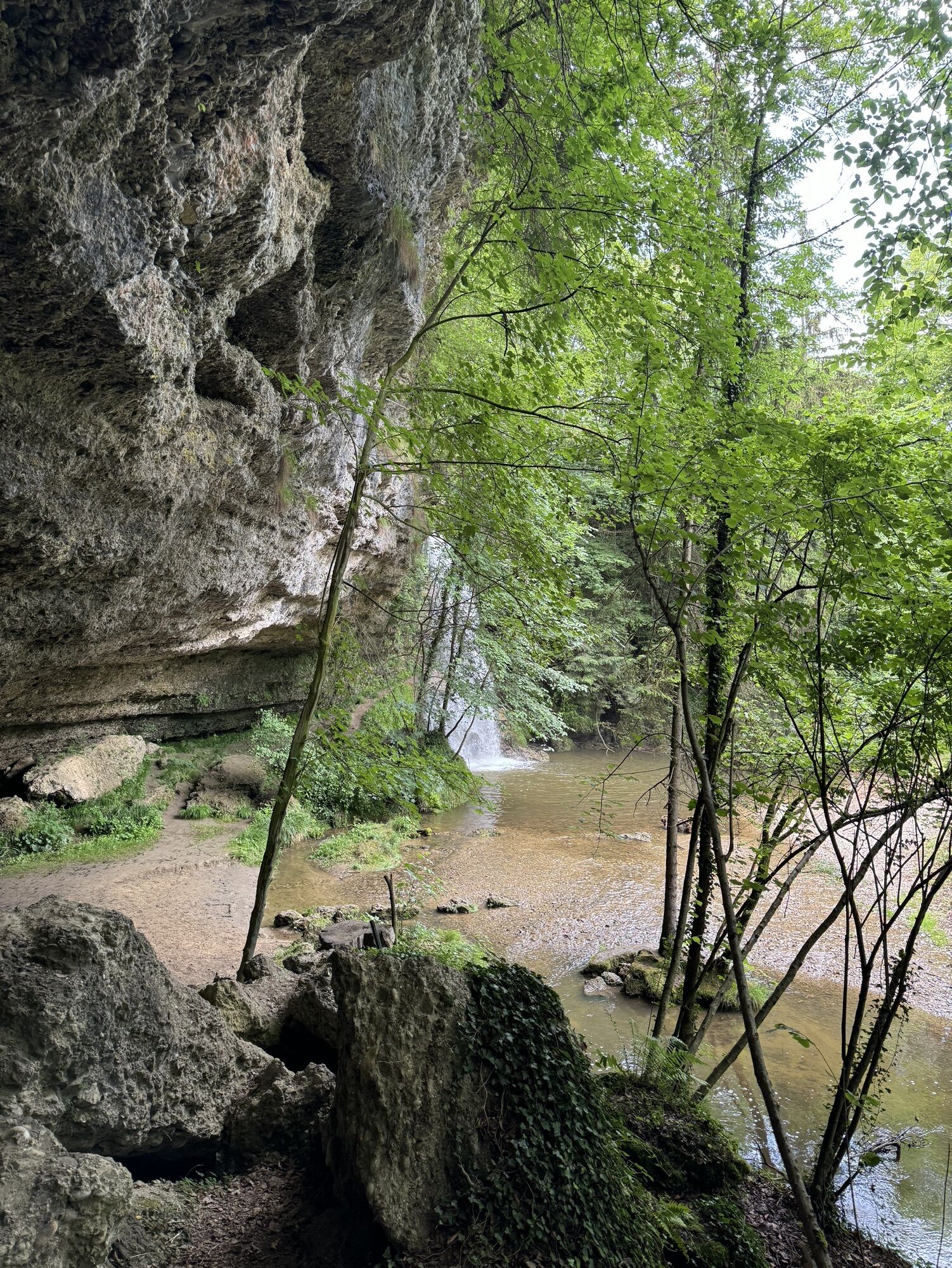
Views of the Enns, which presents itself in refreshingly new perspectives. The selective route also appeals to sporty walkers and trail runners. On hot days, the hike through shady sections of forest is...
We recommend Dürnbach train station as the starting point, but Ternberg train station is also an option.
Depending on your fitness level, the walk takes between 1.5 and 2.5 hours.


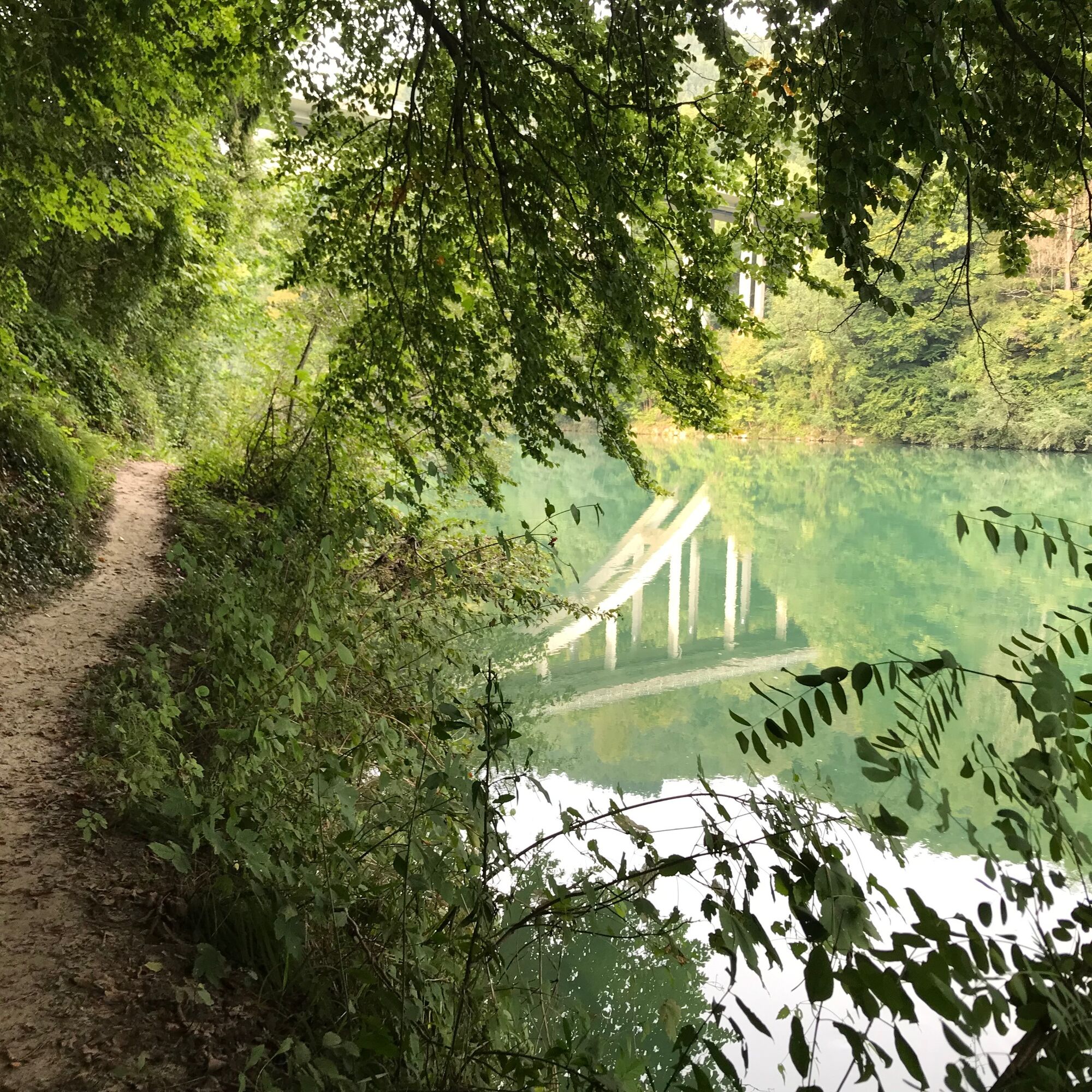


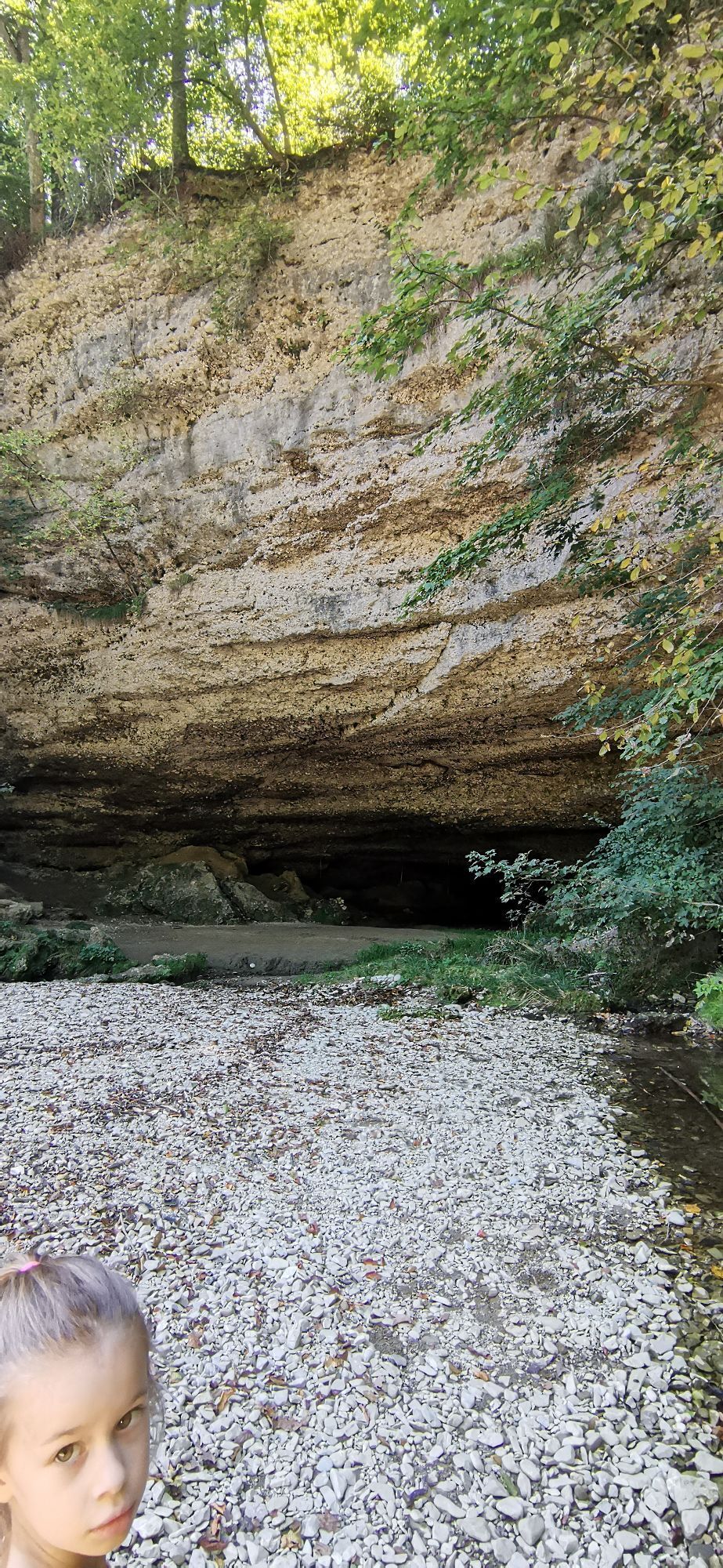
The path now leads mostly on narrow paths over hill and dale along the Enns. Water birds, the Fallerbucht natural monument, species-rich deciduous forests, rough pastures and striking conglomerate boulders accompany us, accompanied by a diverse natural soundscape.
We continue along the banks of the Enns until we reach the edge of the terrace. The Fallergut lies high above us. After the riverside path, we climb up to the edge of the terrace and enjoy an impressive view of the Enns in the so-called natural cinema.
We soon leave the river area and enter the forest. At the edge of the bushes, you may be lucky enough to spot traces of the beaver, which has returned to this river landscape.
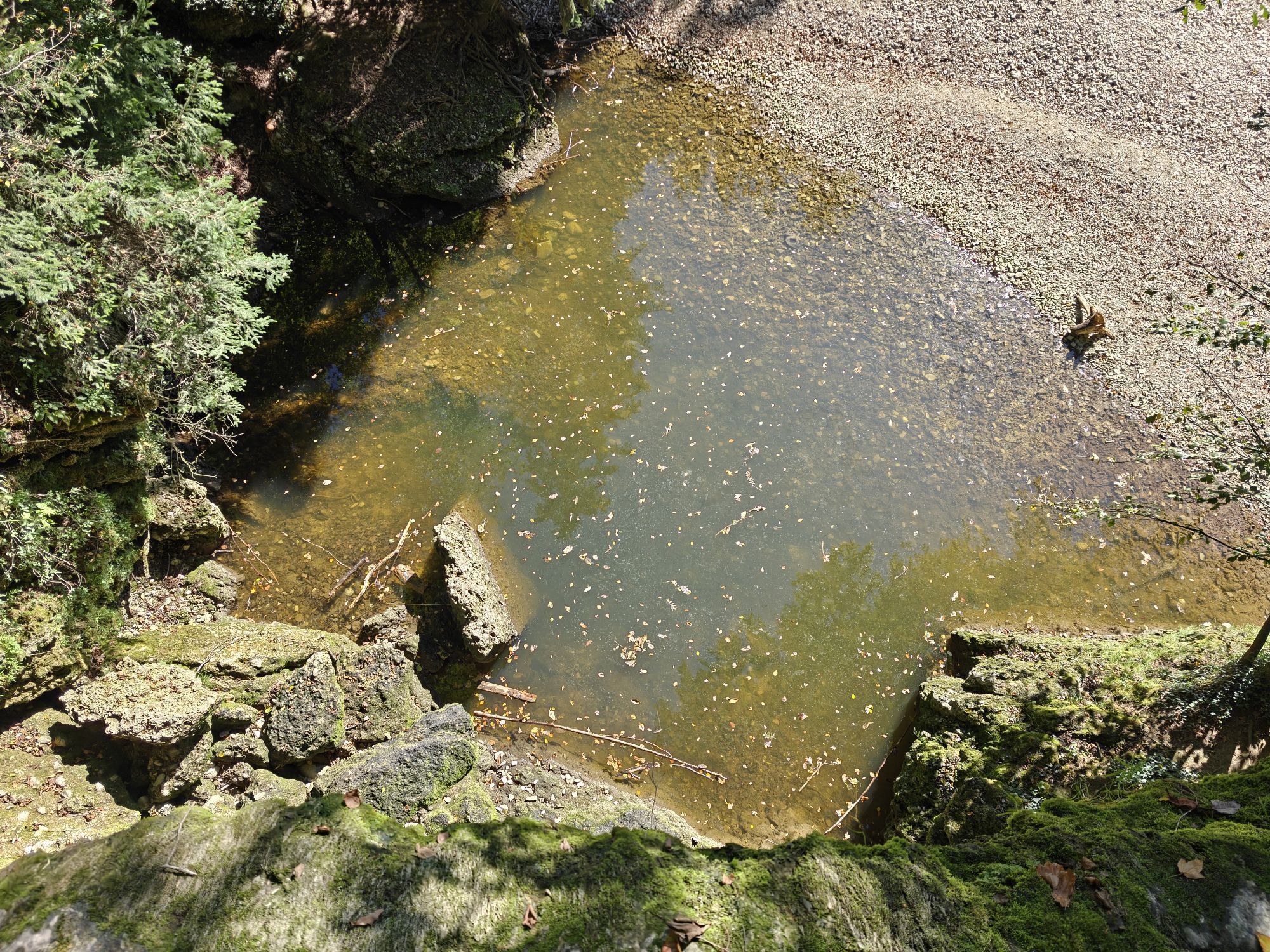
After leaving the forest, we cross the Dürnbach stream, which can dry up in dry periods, and immediately afterwards the road. After a few minutes we reach an atmospheric chapel.
From there, we walk uphill on Dürnbachstraße through the village to the south and finally return to Dürnbach station, the end point of the tour.
Da
Da
Da
Sure-footedness and good footwear required!
From Vienna: A1 motorway exit Haag > B42 > B122 > B115 into the Enns Valley
From Passau: A8 Passau > Wels > A1 motorway exit Enns-Steyr > B115 into the Enns Valley
From Graz: A9 Pyhrnautobahn > motorway exit Klaus > Grünburg > into the Ennstal valley
Details at www.ooevv.at
Railway Stations are located in Ternberg, Trattenbach, Losenstein, Reichraming, Großraming, Gaflenz, Weyer, Küpfern, Kastenreith, Kleinreifling and Weißenbach-St. Gallen.
Dürnbach/railway station or Ternberg/railway station
T1
Climate-friendly into the National Park region - Ternberg and Dürnbach train station: You can reach the starting point for this hike by train in approx. 1 hour from Linz and in approx. 2.5 hours from Vienna.

Dejavnosti na poti

Ternberg, Oberösterreich/Österreich
04.10.2026 – Pohodništvo
Ternberg, Oberösterreich/Österreich
23.08.2026 – Pohodništvo
Ternberg, Oberösterreich/Österreich
06.06.2026 – Pohodništvo
Ternberg, Oberösterreich/Österreich
18.05.2026 – Pohodništvo
Ternberg, Oberösterreich/Österreich
11.03.2026 – Pohodništvo
Wasserfall - Faller Bucht, Ternberg
18.09.2025 – Sprehod
Priljubljeni izleti v okolici
- 4.7
Grünburger Hut via Dorngraben Molln
srednjaPohodništvo 3.43 km - 4.6
Schoberstein (from Molln)
srednjaPohodništvo 3.63 km - 4.9
Dambergwarte
svetlobaPohodništvo 3.28 km - 4.8
Steinerner Jäger (1185m) und Schieferstein (1206m) ab Parkplatz Hochhabichler
srednjaPohodništvo 4.46 km - 4.7
Steinerner Jäger (1185m) und Schieferstein (1206m) ab Parkplatz Hack
težkoPohodništvo 8.58 km - 4.6
Dürres Eck - Gaisberg - Hochbuchberg
srednjaPohodništvo 11.2 km - 4.7
Kleiner und Großer Landsberg (3.7.2019) mit Sonnenuntergang
srednjaPohodništvo 3.51 km - 4.5
Rinnende Mauer - Gorge Trail
srednjaPohodništvo 7.20 km - 4.6
Pfaffenmauer - Schoberstein - Gipfel der Lust Gasthof Klausriegler, Oberösterreich/Österreich
srednjaPohodništvo 9.72 km - 4.5
Ternberg -Schoberstein
srednjaPohodništvo 6.60 km
Pohodništvo in sledenje


Ne zamudite ponudb in navdiha za naslednje počitnice
Vaš e-poštni naslov je bil dodan na poštni seznam.





