







Path over the castle from Bad Schönau to Krumbach
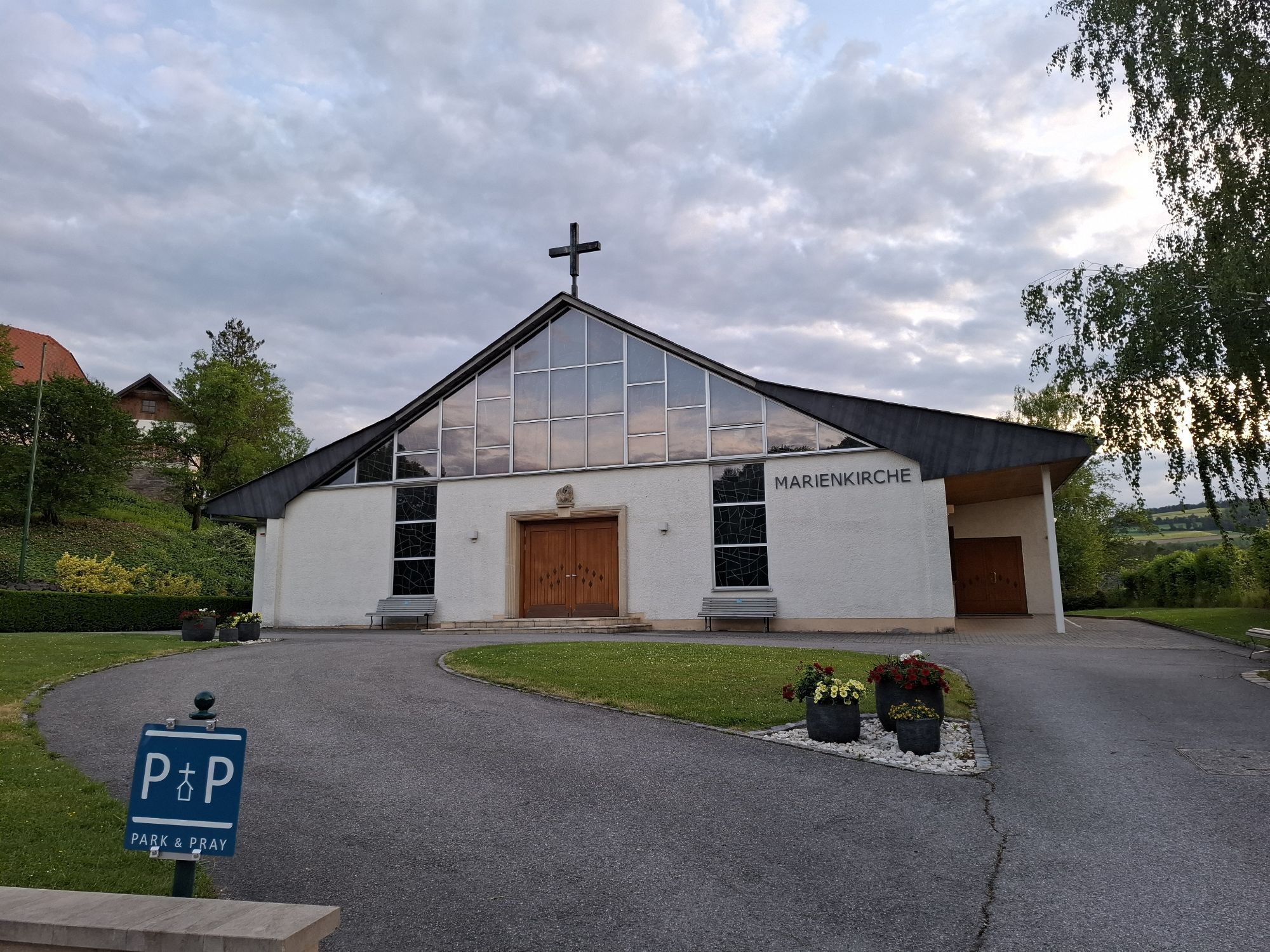
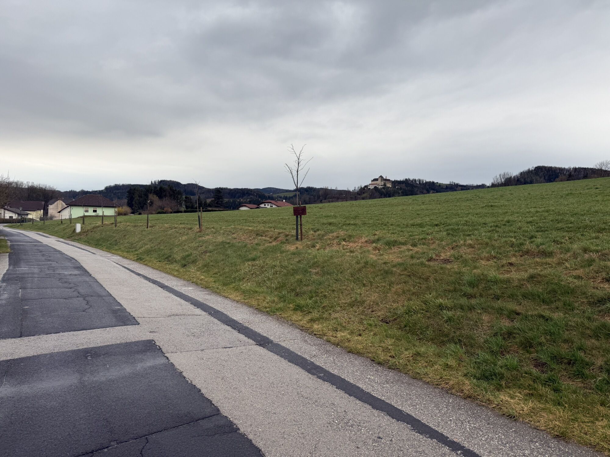
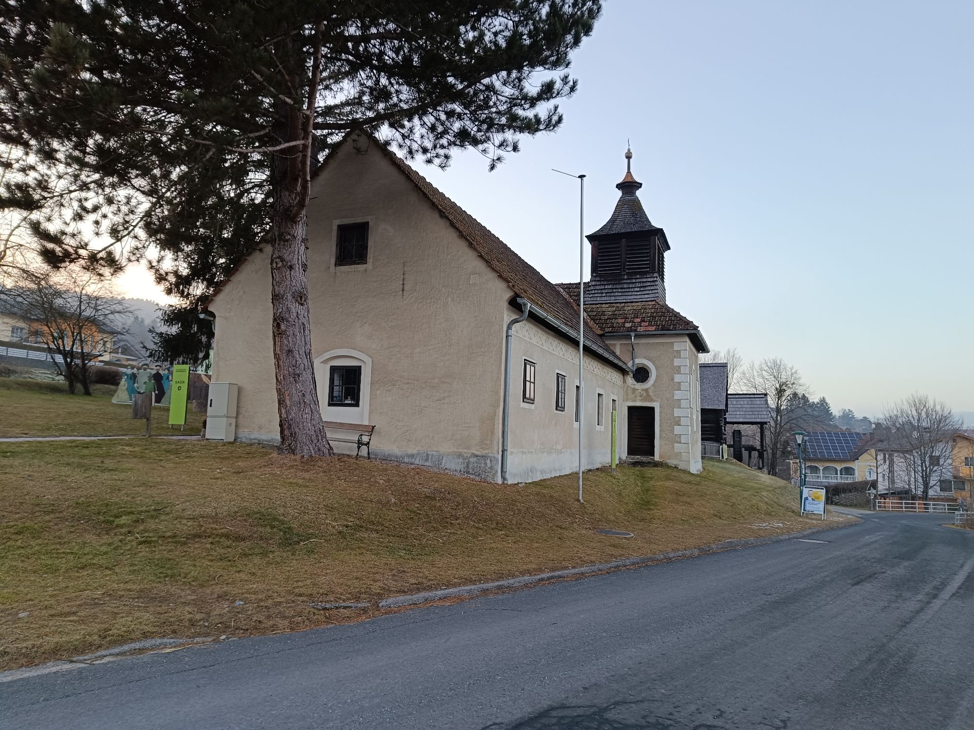
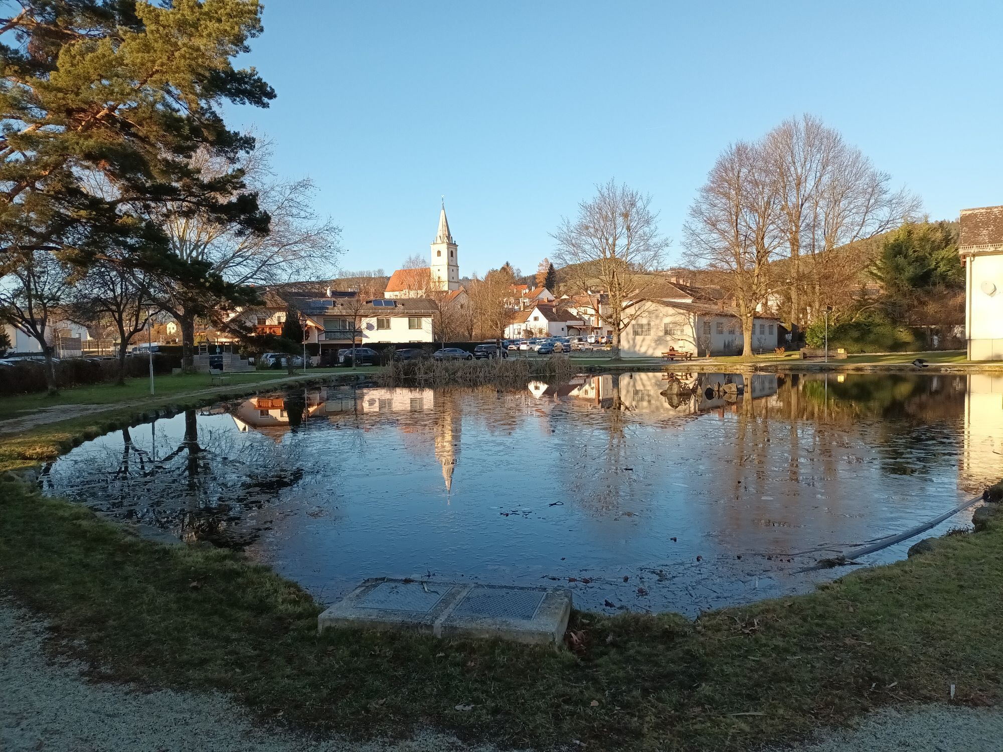
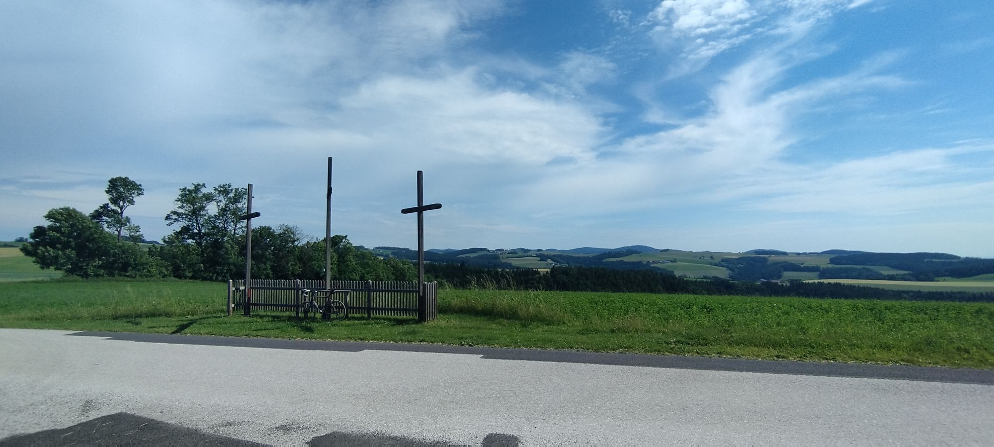
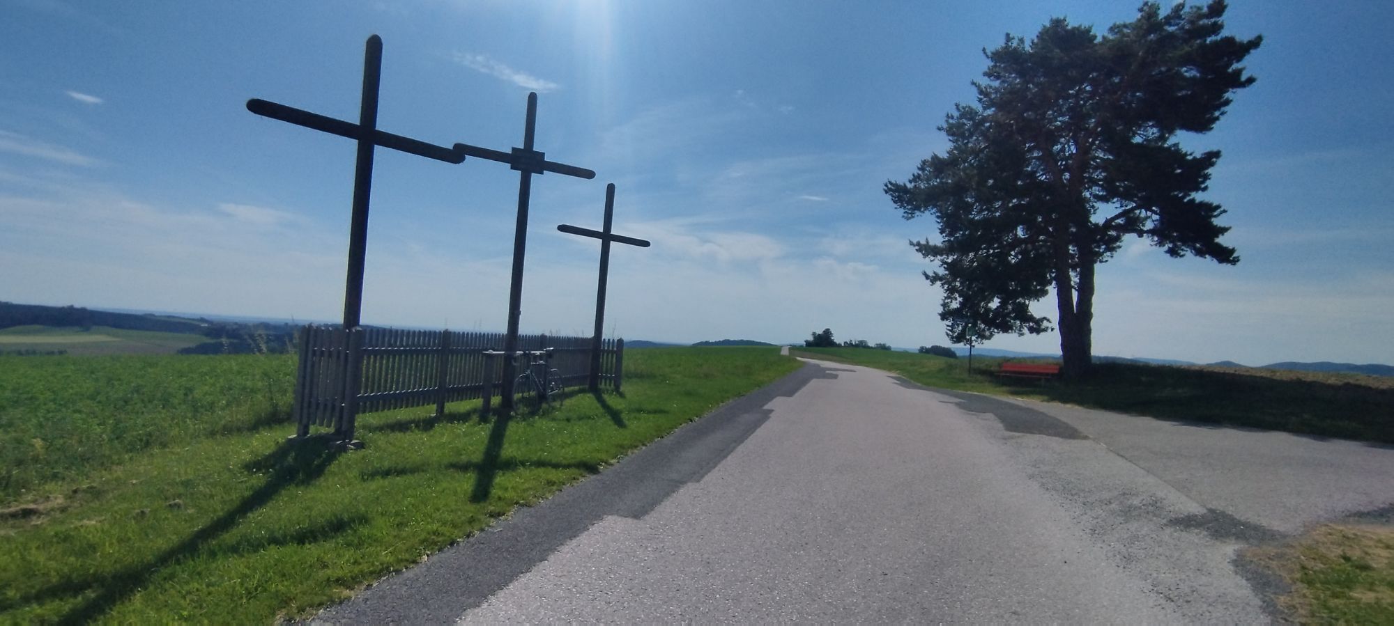


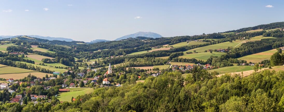
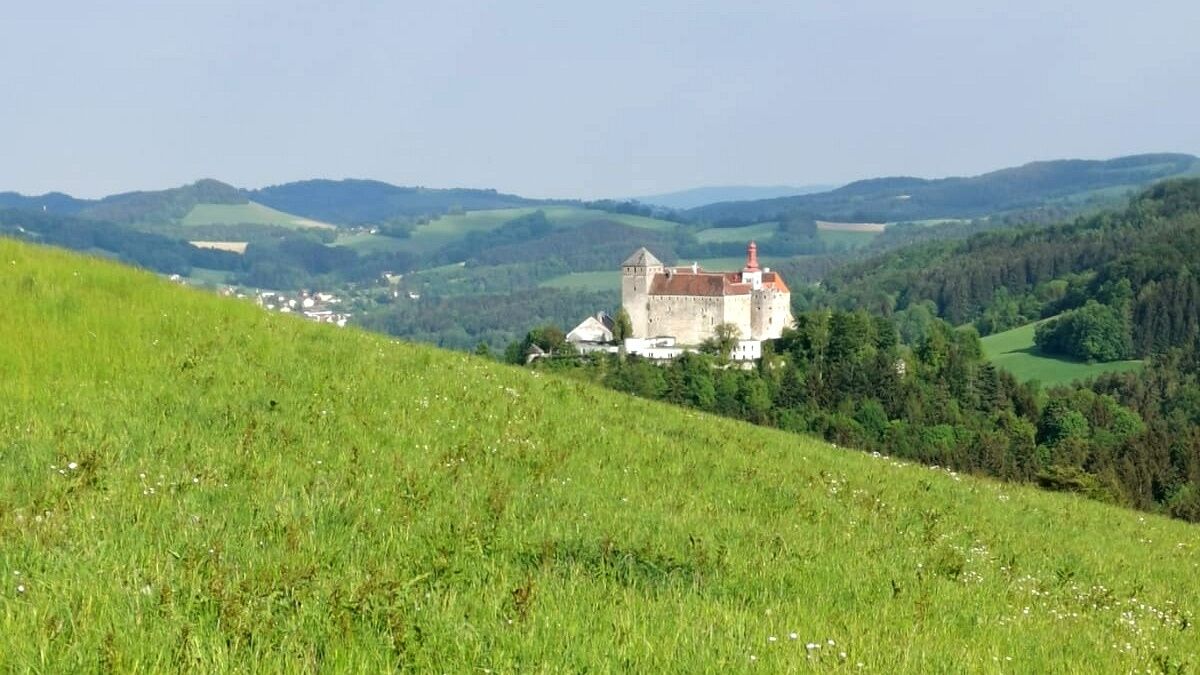
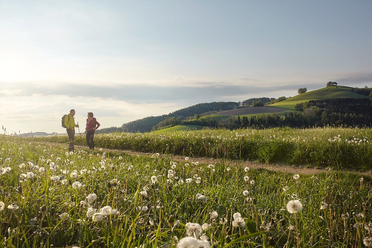

<p>The path follows the yellow marked E3 route. From the centre of Bad Schönau, the route runs westwards along Kurhausstraße and continues on a moderately ascending path past the Hubertus Chapel to Buchegg. Turn right onto the paved road and at the T-junction turn left, then immediately right again. Follow the road briefly to reach a path. Keep right here and go down through the forest into the Haselgraben. After 1.5 kilometres turn left and follow a well-maintained ascent through the forest to Krumbach Castle. From the castle, the path leads down to the castle inn and continues towards Kraxenberg. Turn right onto the Hauswald forest road and follow the Hauswald path. At the first fork turn right (sign toward Edelbrennerei Kölbel), then at the next fork go right, cross a small stream and continue straight ahead. At the next fork keep right to the stream, cross it and turn sharply left (signposted Edelbrennerei Kölbel). Follow the stream straight ahead and at a fork turn right up the forest path. Pass a farm and continue left onto the paved road. At the junction turn left following the sign Edelbrände Kölbel.</p><p>At Edelbrennerei Kölbel the path leads right before the farmhouse down the forest path and then along the edge of the field, to the right returning to the paved road. The paved path runs along the Kraxenberg Chapel and joins a field path near a farm. After a curve, Krumbach Castle impressively appears in view. The path continues along meadows and through the forest to Unterhaus. Upon reaching the village below, turn left passing Ederer's Alpaca Farm towards the town centre. From there, the signposting indicates the way to Krumbach.</p>
<p>Always take suitable <strong>maps</strong> with you. Wear sturdy <strong>shoes</strong> appropriate for the route, bring sun and rain protection as well as water and a snack. Take your <strong>mobile phone</strong> with you and save the emergency mountain rescue number: 140</p>
<p>Your hikes in the Viennese Alps should be a thoroughly enjoyable and safe experience. Please therefore take note of the following:</p><p><strong>Preparation</strong></p><p>Make sure when choosing the route that it matches your mountain experience and your fitness. Check the weather forecast in advance. The weather in the mountains can change surprisingly quickly. Therefore, always start out properly equipped (e.g., rain protection).</p><p>Check whether the huts and snack stations you want to visit on the way are open. Inform someone about your choice of route and your planned return before you set off.</p><p>Further safety tips for your hike can be found <a href="www.wieneralpen.at/sicherheit-am-berg...
<p><strong>From Vienna:</strong> South Motorway A2, take the Krumbach exit. Continue on the Krumbach junction. Continue on Kirchschlager Str./B55 to Bad Schönau.</p><p><strong>From Graz:</strong> South Motorway A2, take the Aspang-Zöbern exit. Turn right onto L137. Continue on Kampichl and Hauptstraße. Hauptstraße turns left in Zöbern and becomes Austraße. Follow L137 to Unterhaus near Krumbach and turn right to Bad Schönau.</p>
<p>More information at <a href="www.oebb.at">www.oebb.at</... and <a href="www.vor.at">www.vor.at</a&...
<p>There is sufficient parking in the town centres of Bad Schönau.</p>
Viennese Alps in Lower Austria, www.wieneralpen.at, +43 / 2622 / 78960
Opening hours: Mon - Thu 08:30 - 16:00 / Fri 08:30 - 13:00
The route can be well combined into a multi-day hike with the routes Over the Heights - Kirchschlag - Bad Schönau and the regional route C Krumbach - Kirchschlag.
Accommodation options in Krumbach:
Krumbacherhof
Spletne kamere s turneje
Pridobite vpogled
Vedno v živo na mestu z več kot 9.500 spletnimi kamerami. bergfex Kot uporabnik Pro si lahko zdaj ogledate ustrezne spletne kamere za številne izlete v aplikaciji izleti iz. Tako si lahko neposredno ogledate trenutne razmere.
Priljubljeni izleti v okolici
-
4.2
"Weg der Blicke"
svetlobaPohodništvo 5.86 km -
4.4
Bad Schönau - Hutwisch
svetlobaPohodništvo 9.99 km -
4.0
Bucklige Welt: Burg Grimmenstein und Kulmriegel
svetlobaPohodništvo 10.5 km -
4.7
Mönichkirchner Genussrunde
svetlobaPohodništvo 10.1 km -
4.4
B53 Edelserpentin
srednjaKolesarjenje 23.5 km -
4.4
BAD-SCHÖNAU Hutwisch und wieder zurück 20220611
srednjaPohodništvo 10.8 km -
4.8
Bakabu children's adventure trail to Hutwisch
srednjaTematska pot 5.42 km -
4.5
Hochegger Höhenweg
svetlobaPohodništvo 4.55 km -
4.5
Hallerhaus - Runde
Pohodništvo 4.47 km -
4.8
B41 Zöberntal-Rabnitztal cycle trail
srednjaKolesarjenje 40.7 km
Pohodništvo in sledenje


Ne zamudite ponudb in navdiha za naslednje počitnice
Vaš e-poštni naslov je bil dodan na poštni seznam.





