






WAB - Stage 6: Bad Schönau - Gschaidt
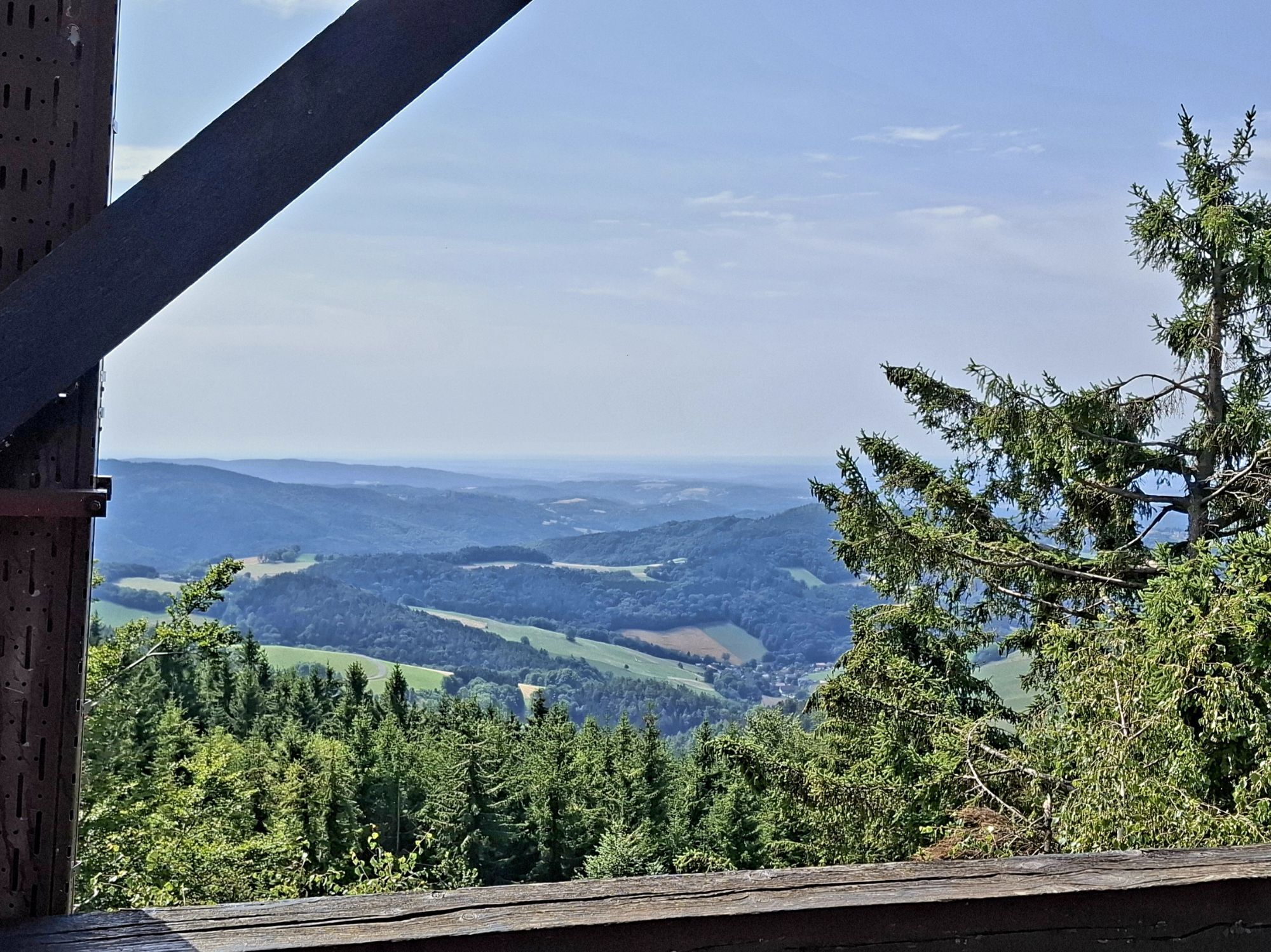
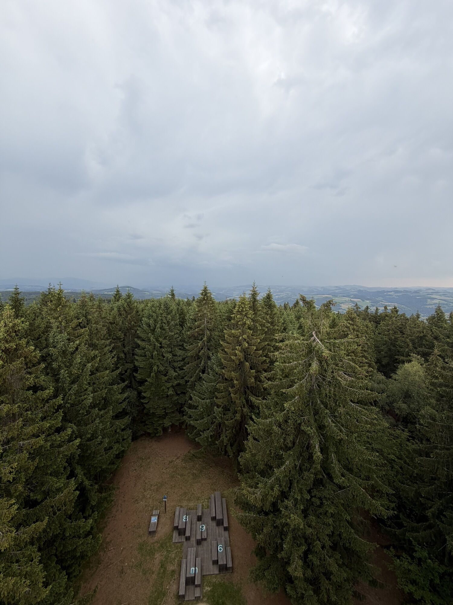
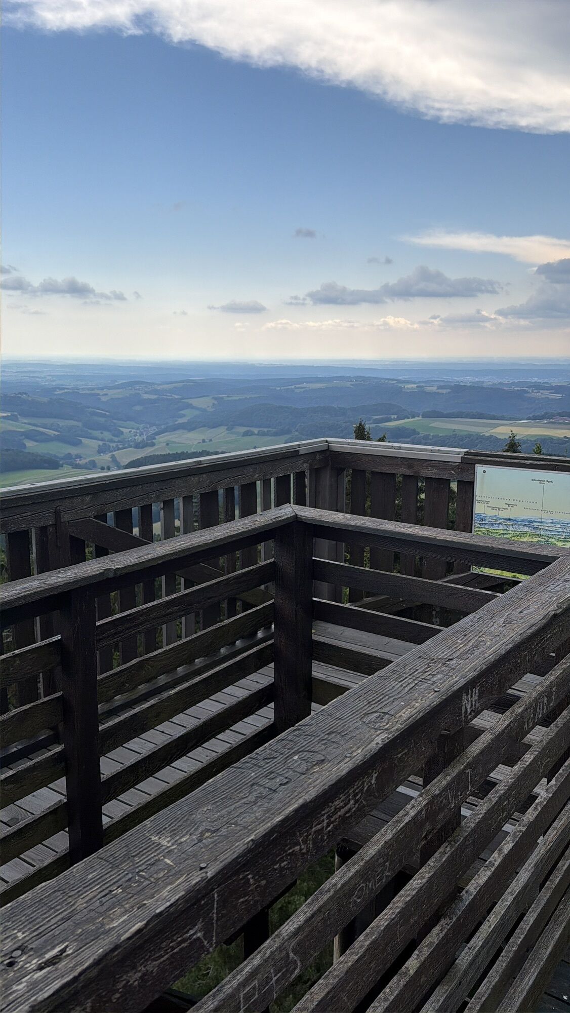
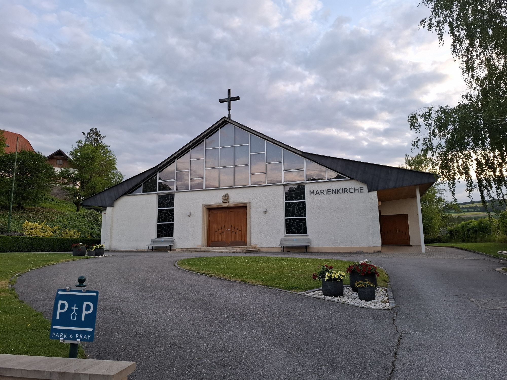

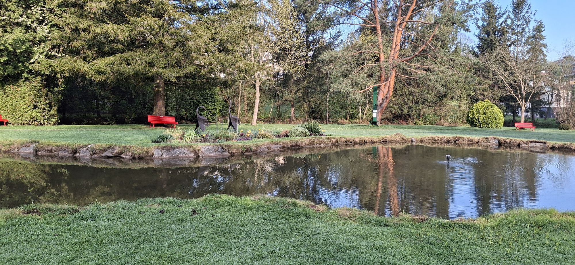
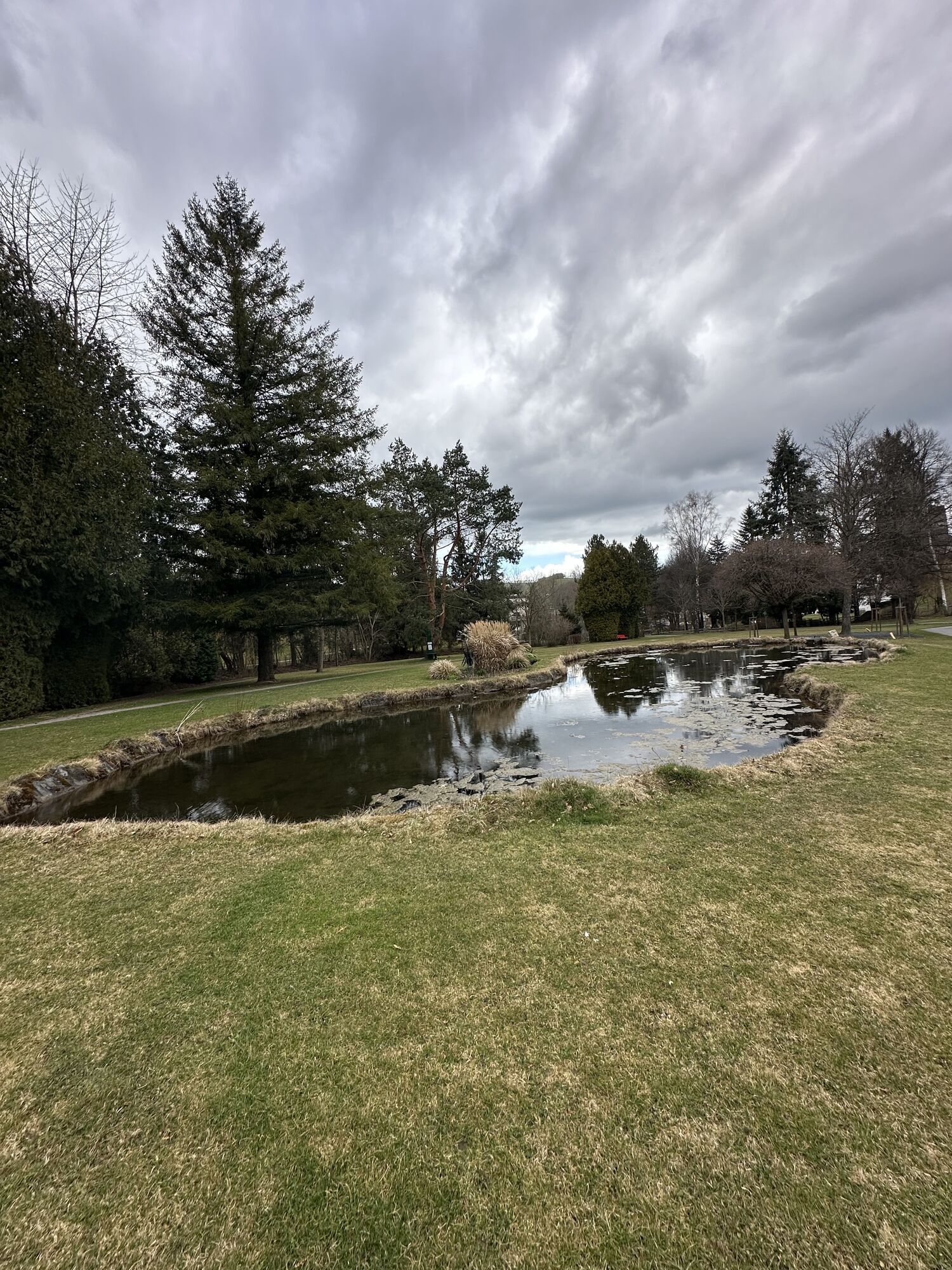
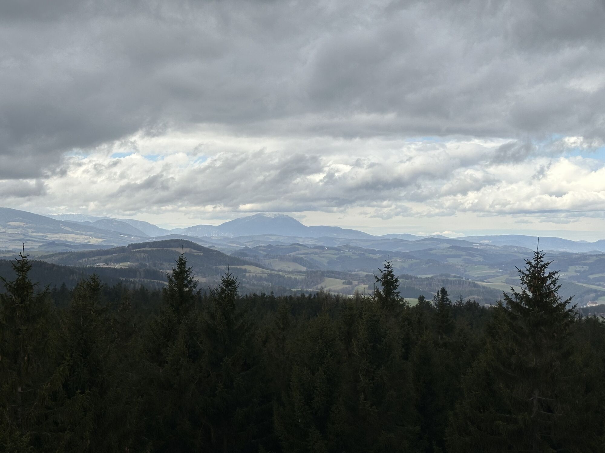
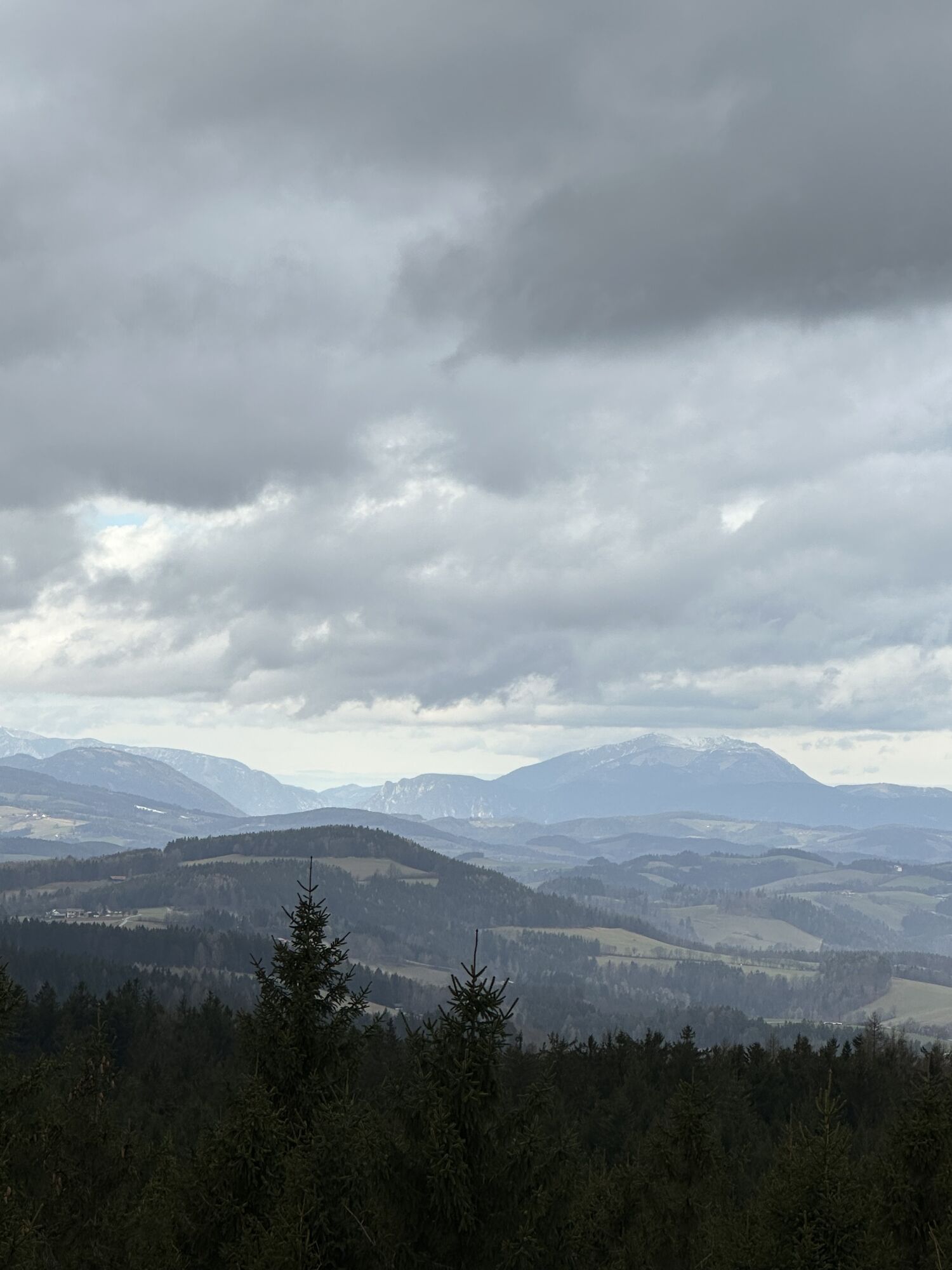
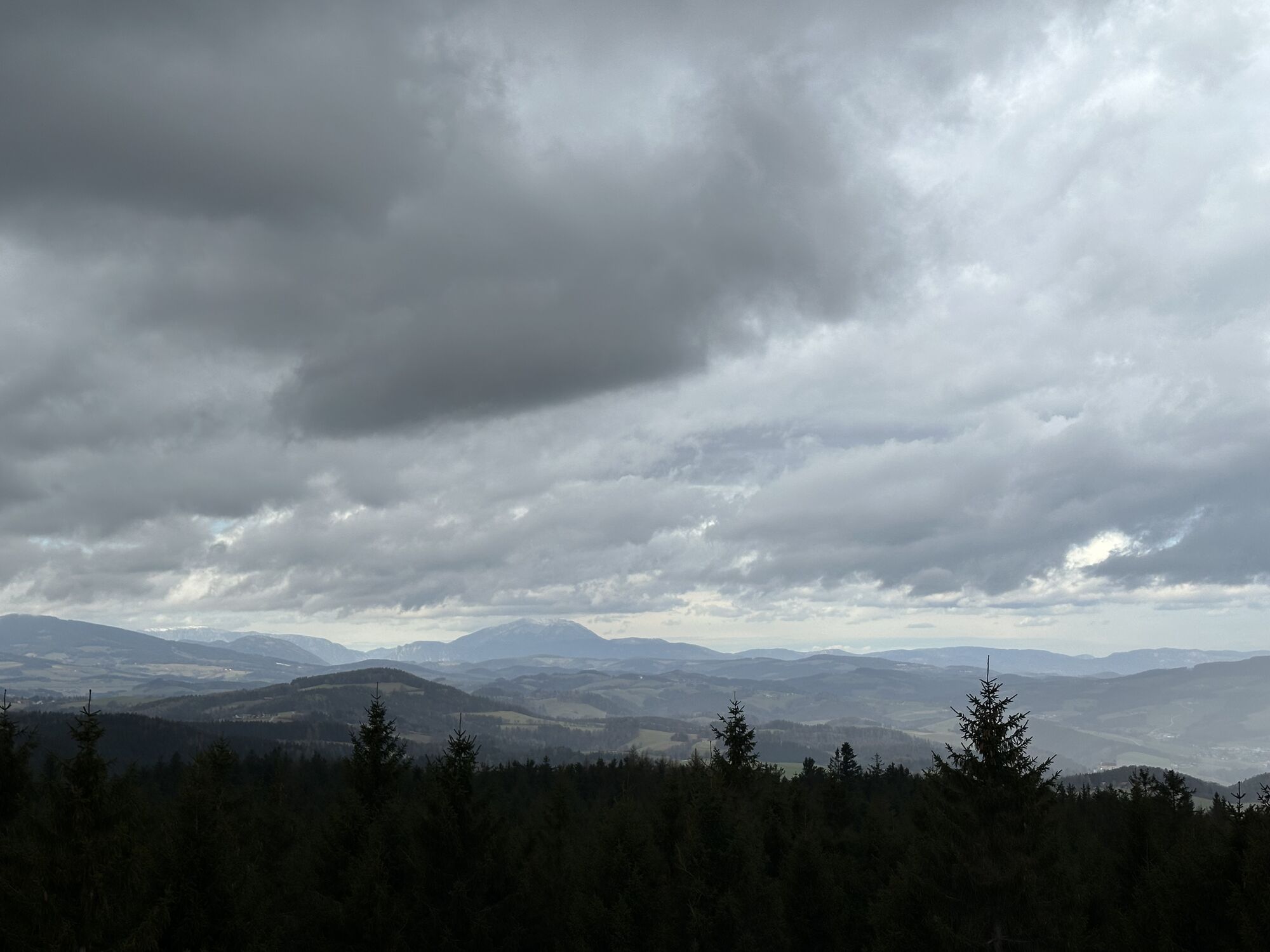
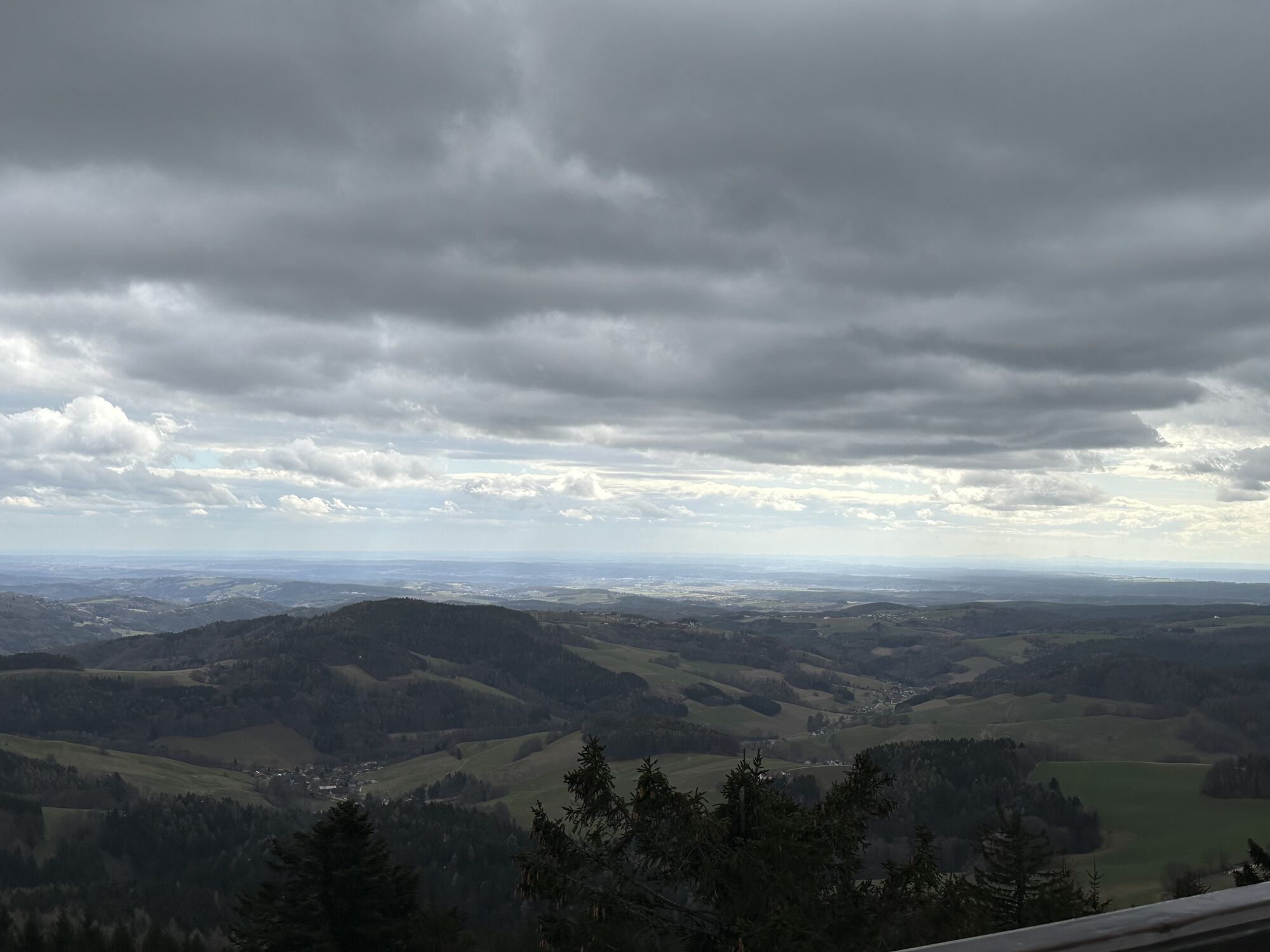
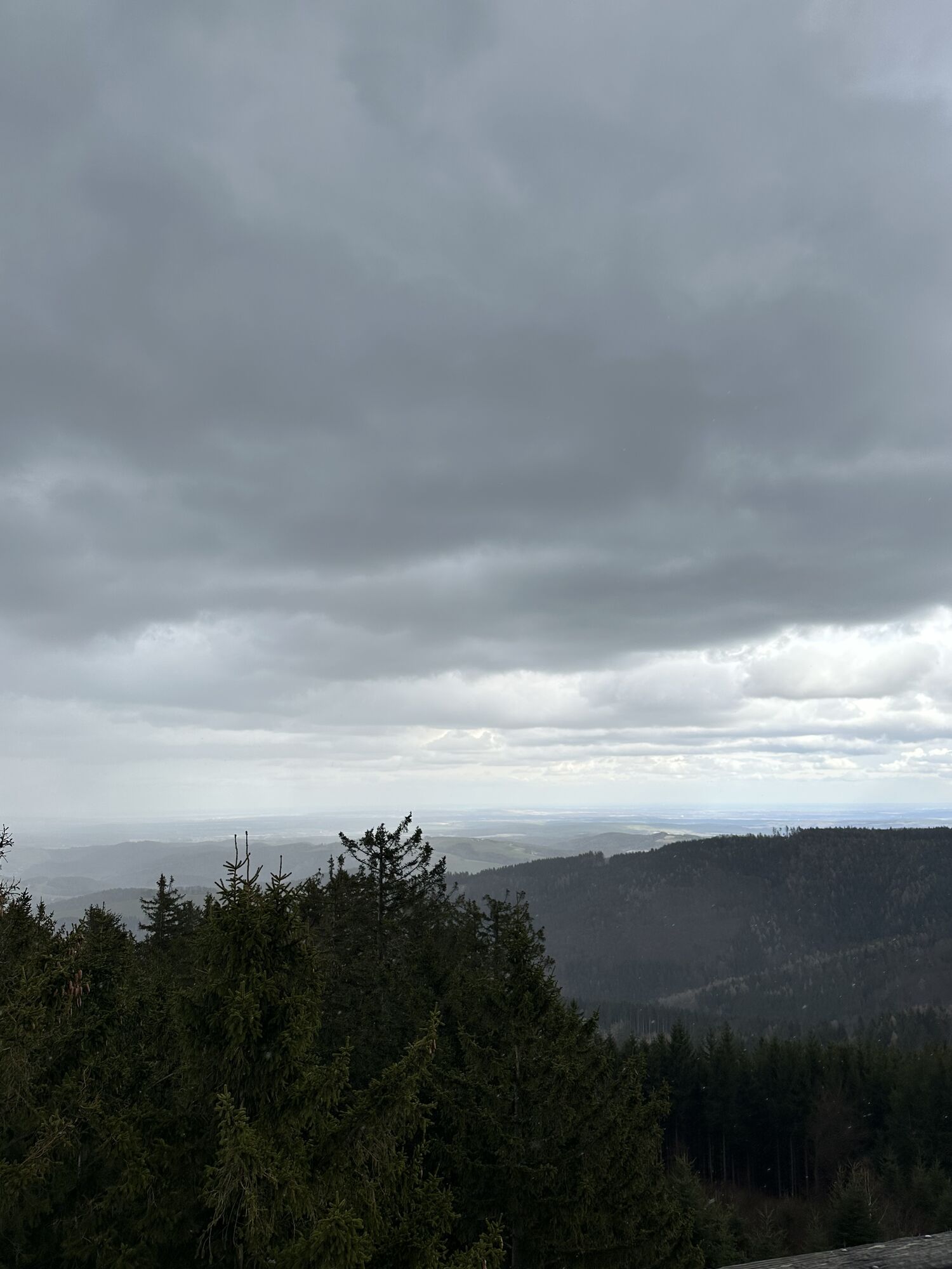

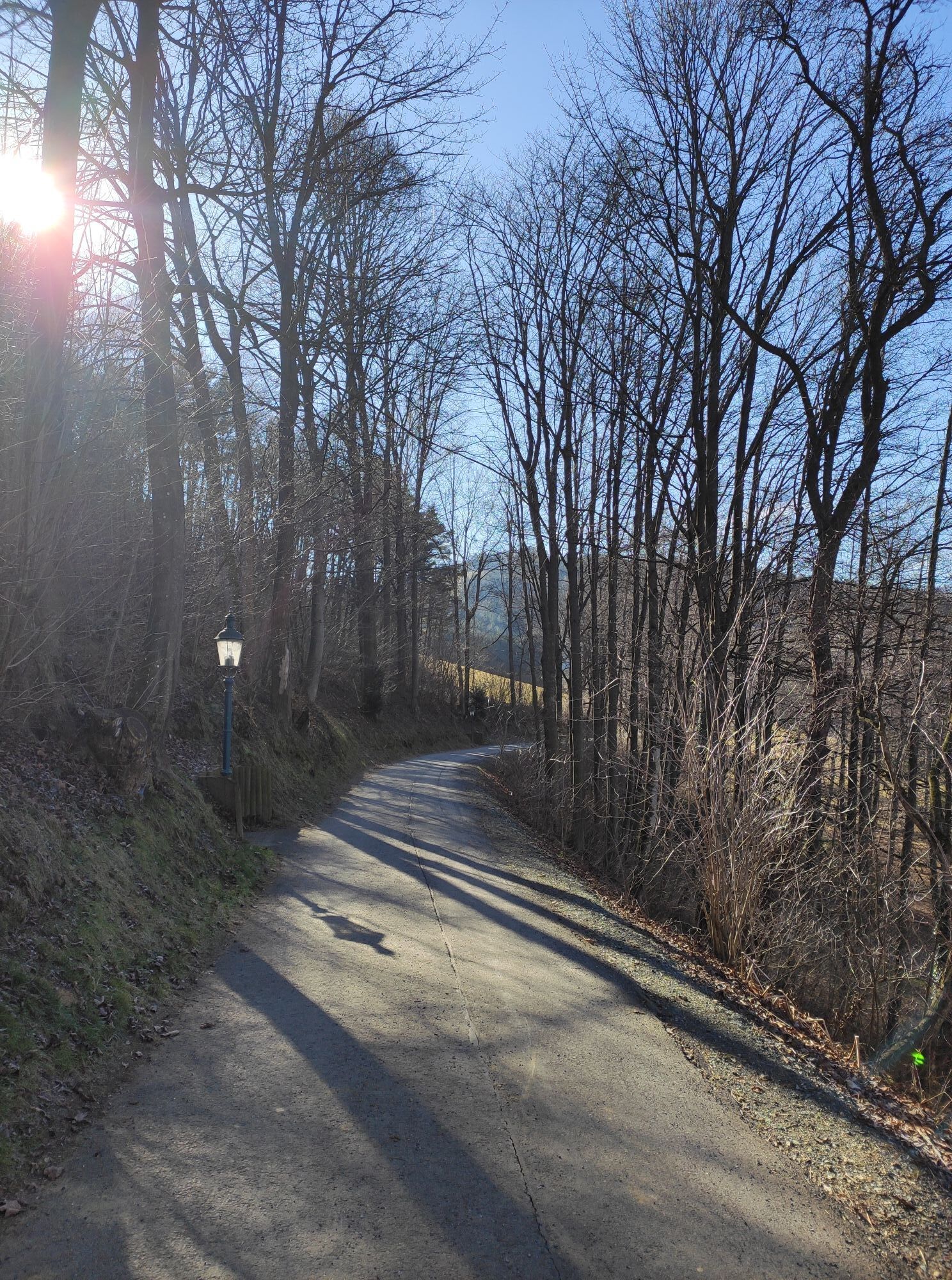
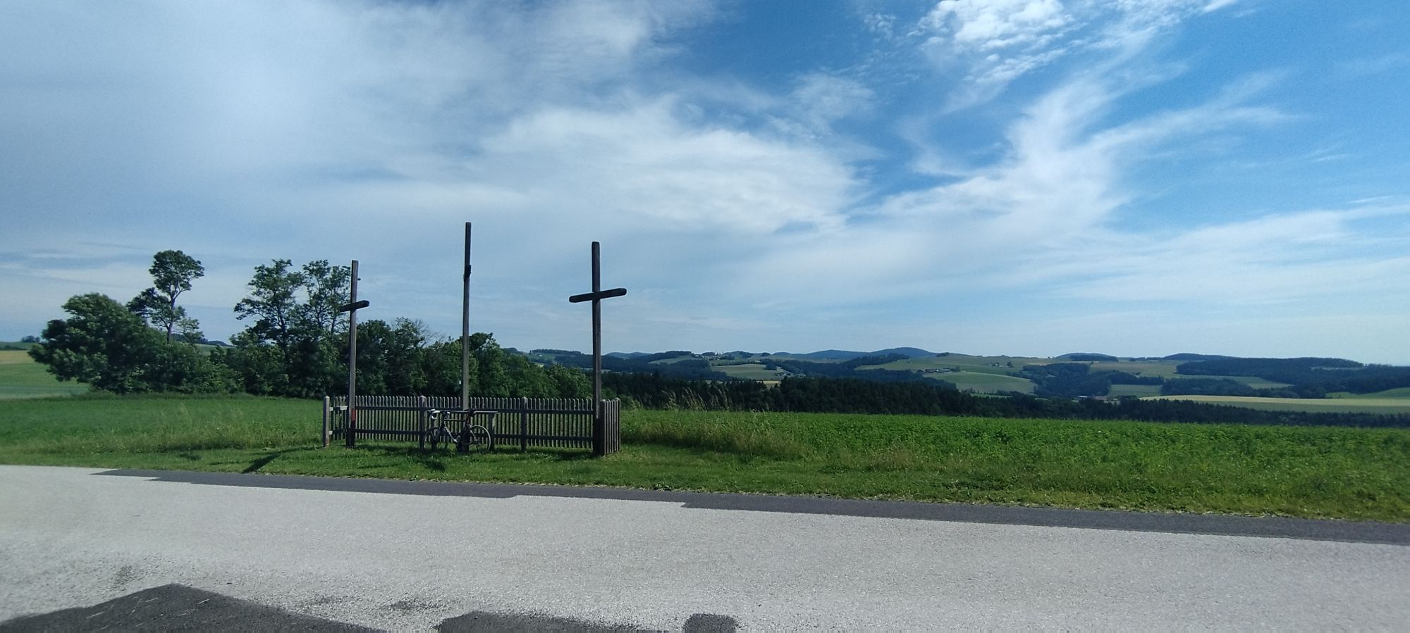
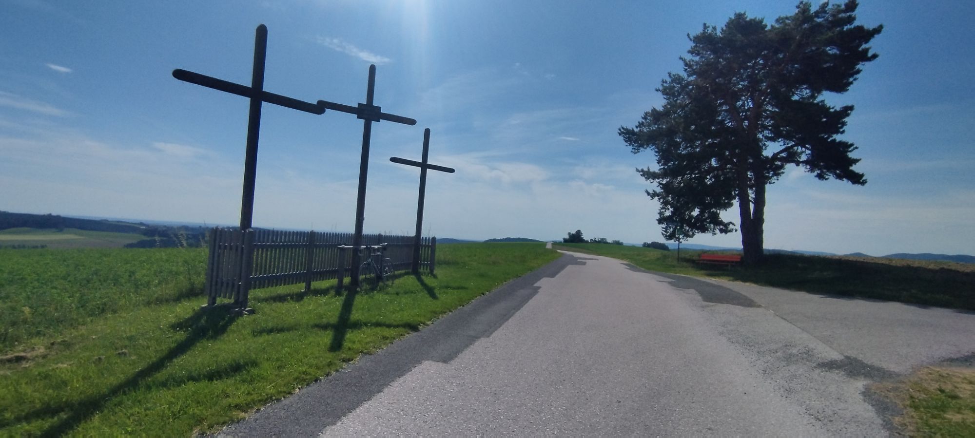
The flowery spa park is the starting attraction in Bad Schönau before the ascent to Hutwisch. The path climbs to 900 meters above sea level, with the Hutwisch viewpoint offering a breathtaking view of...
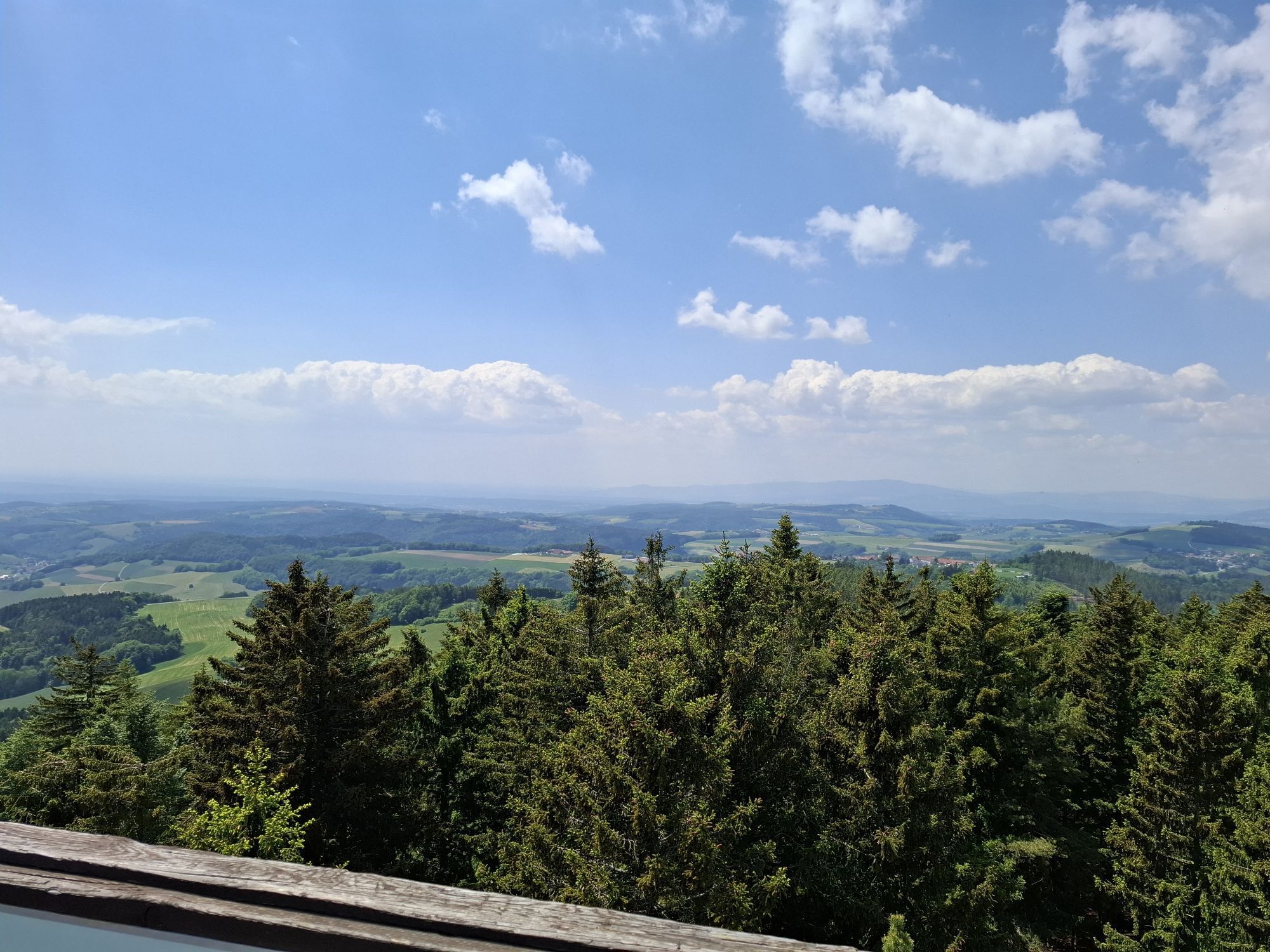
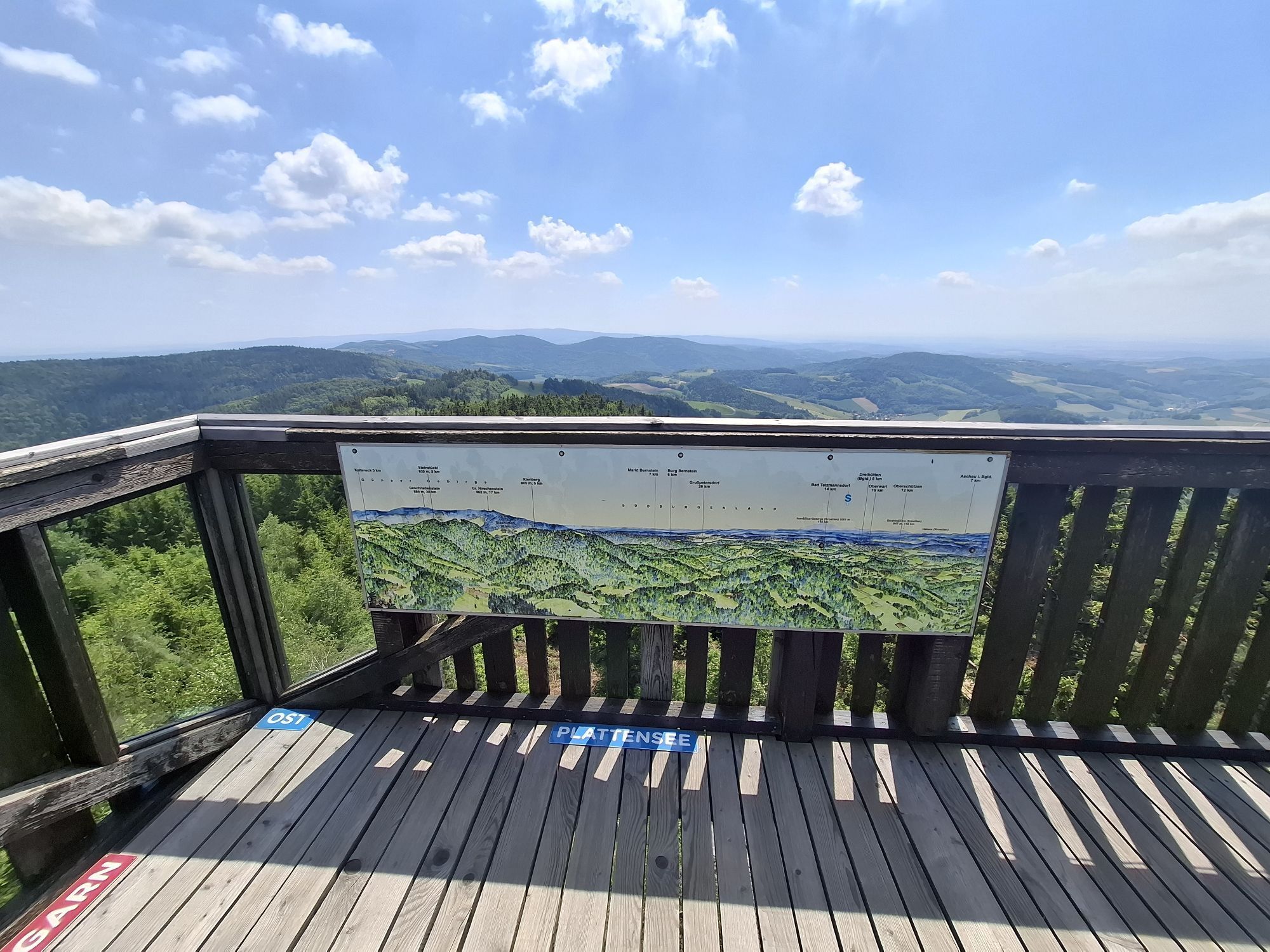
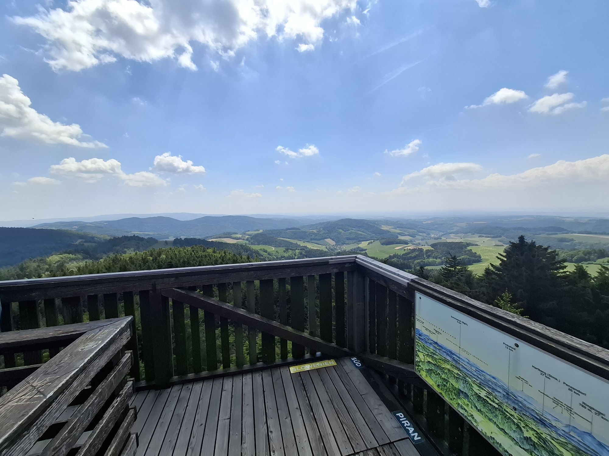
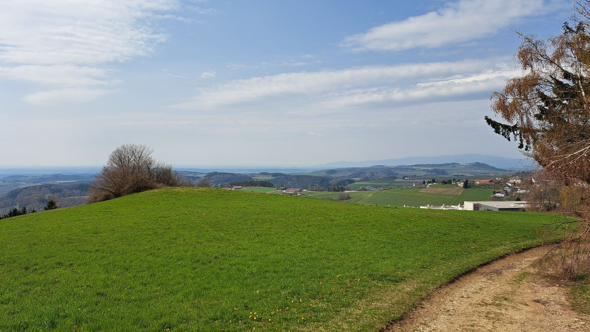
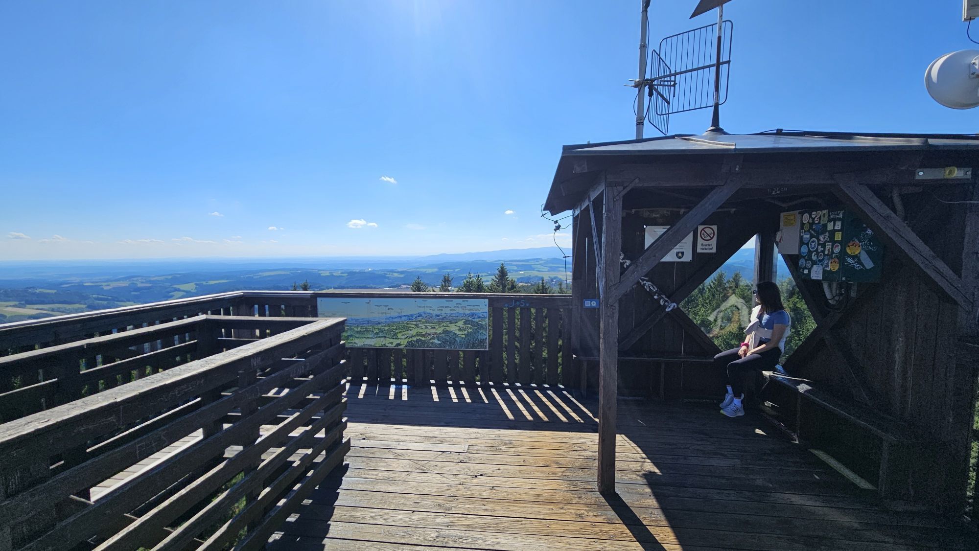
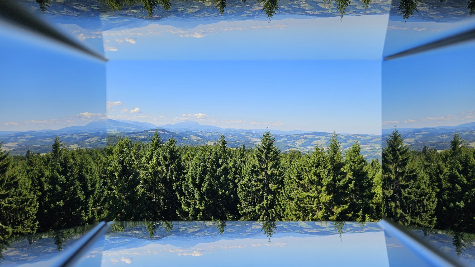
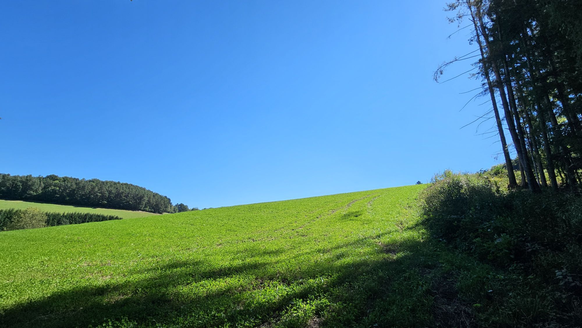
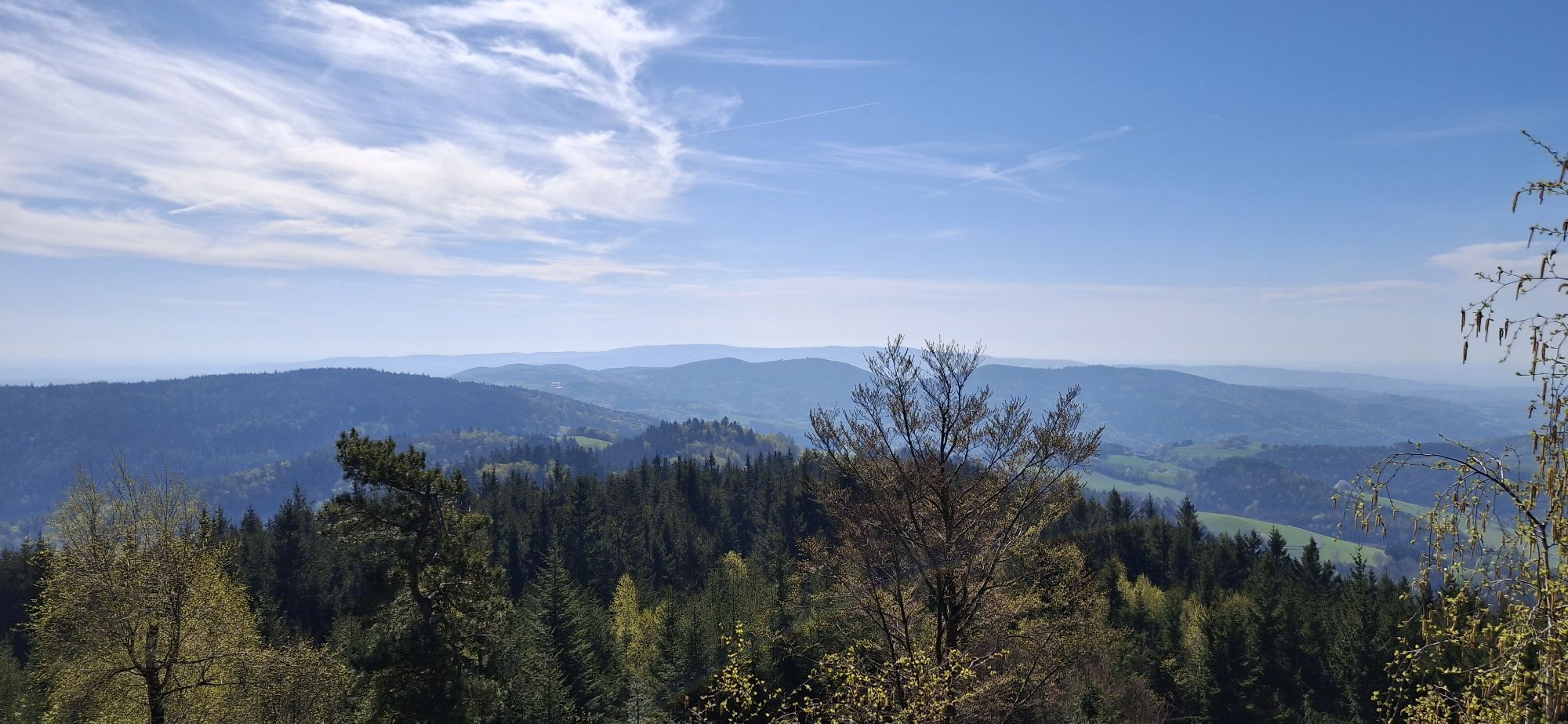
<p>The flowery spa park is the starting attraction in Bad Schönau before the ascent to Hutwisch. The path climbs to 900 meters above sea level, with the Hutwisch viewpoint offering a breathtaking view of the open land to the south and the Pannonian Plain. Beautiful ridge paths lead in the last kilometers to Gschaidt.</p>

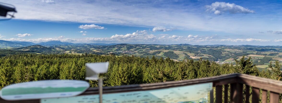
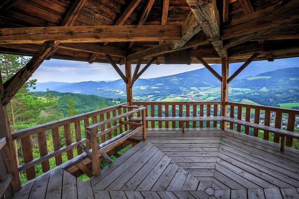
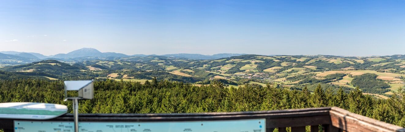
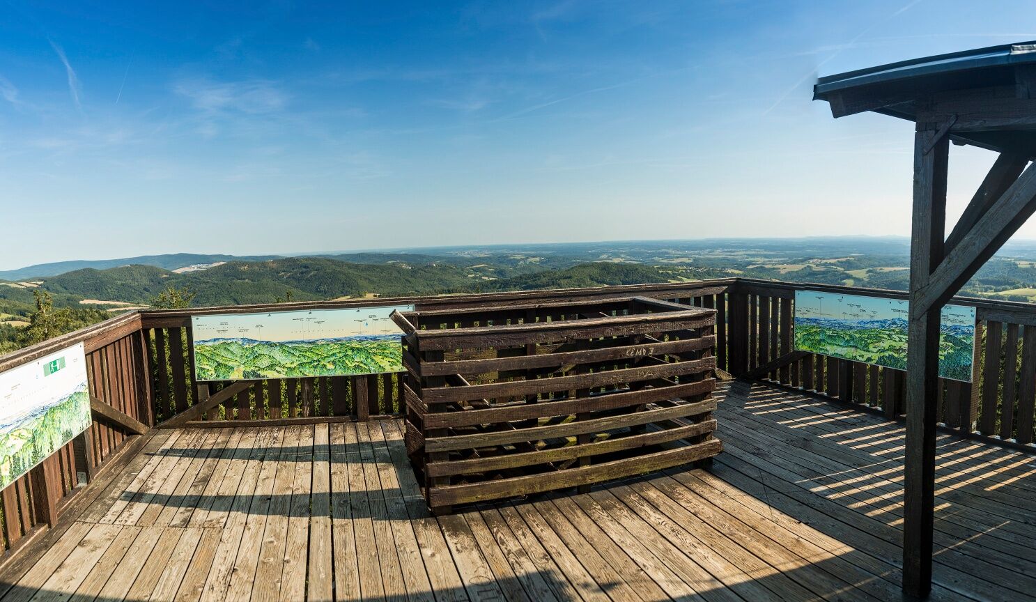
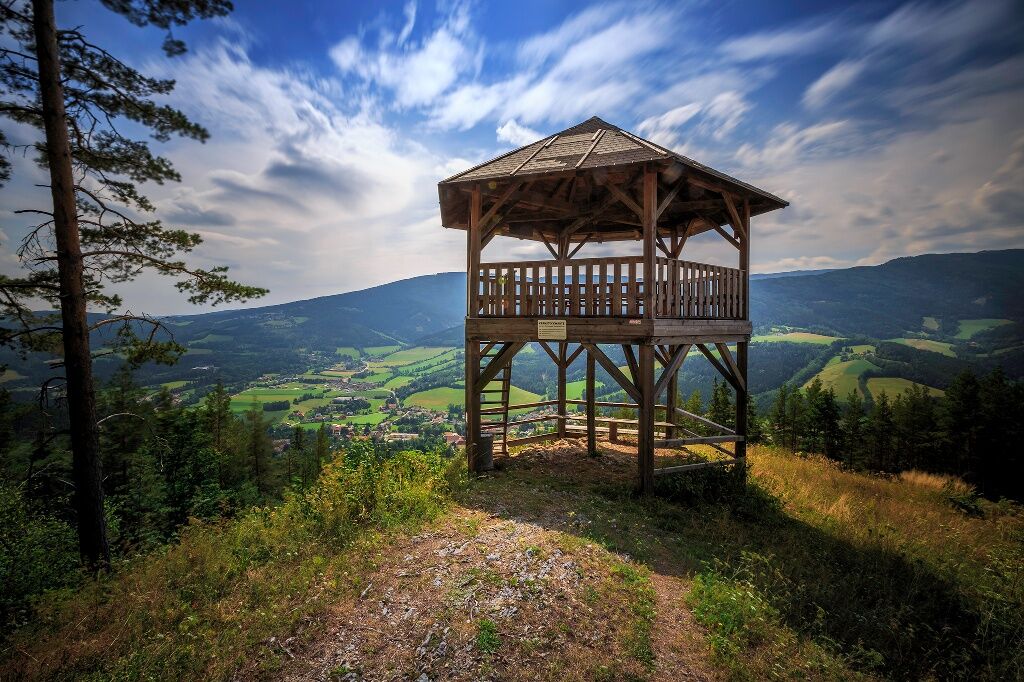
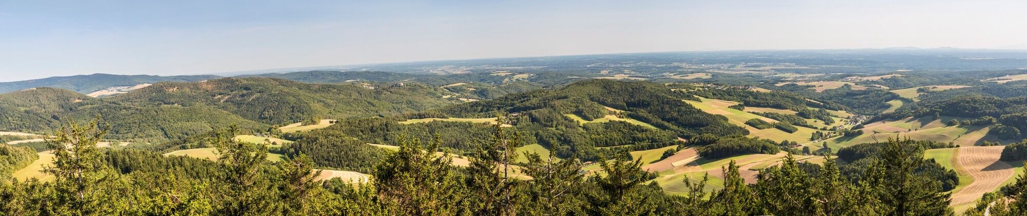
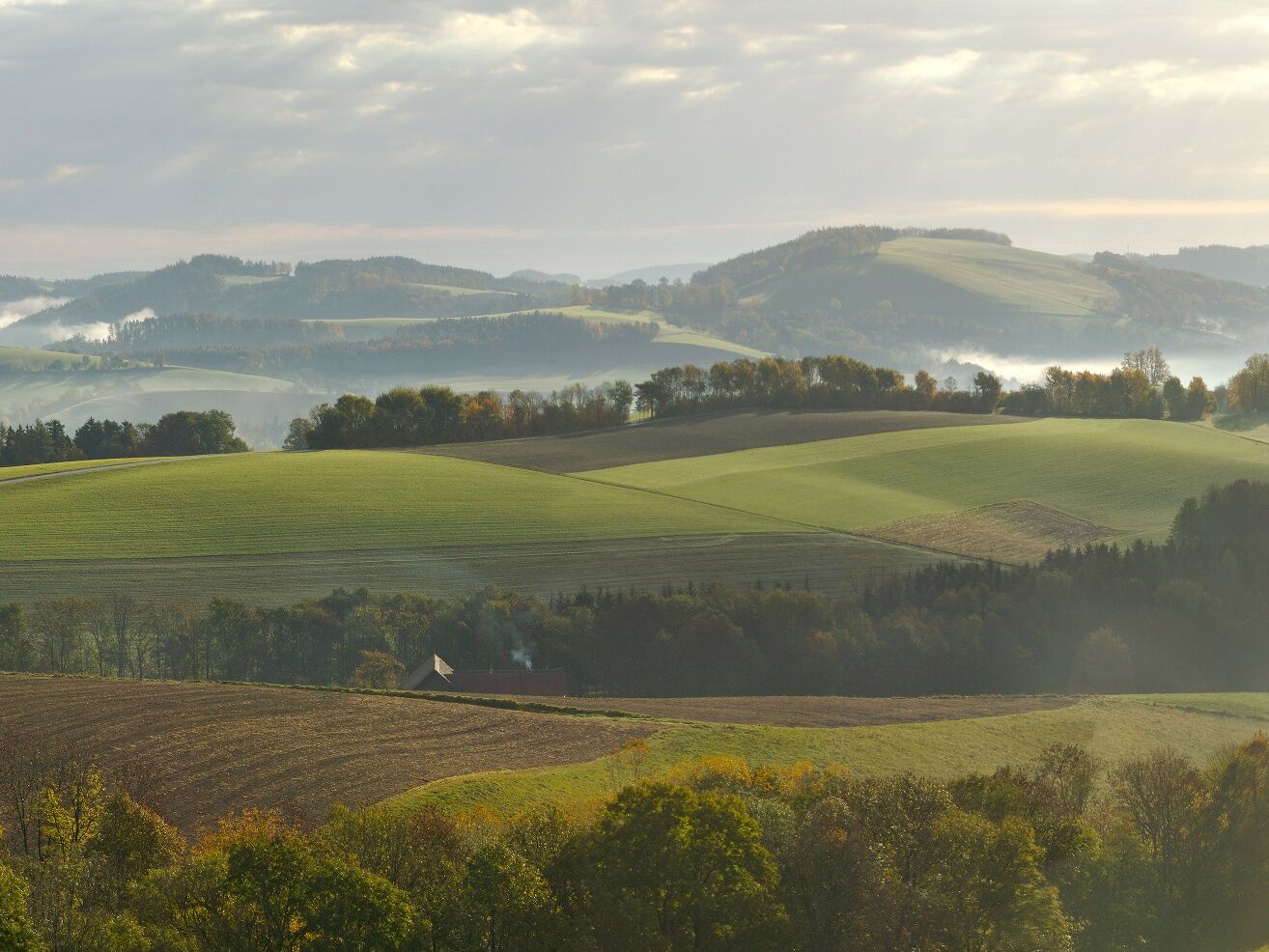
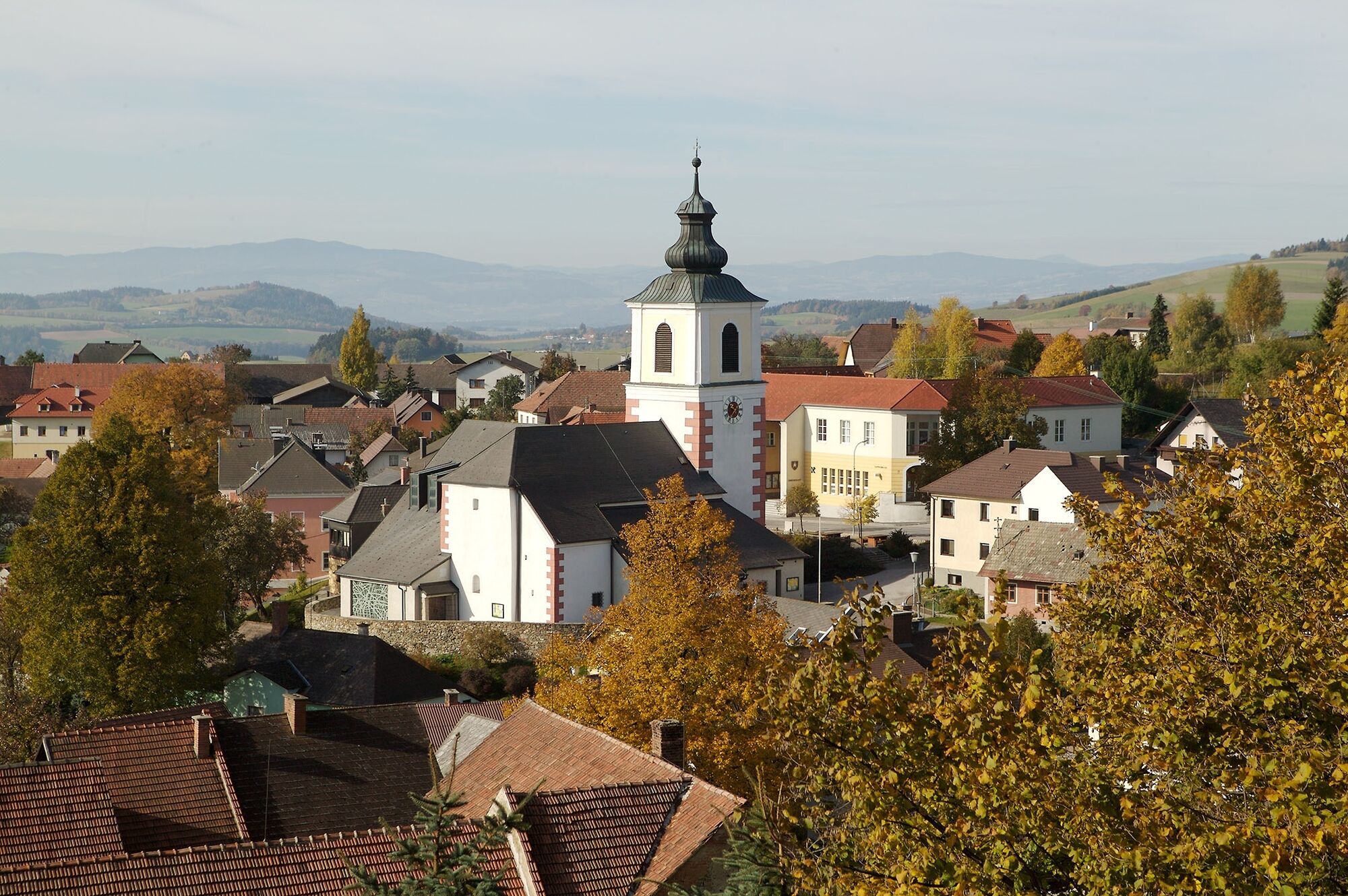
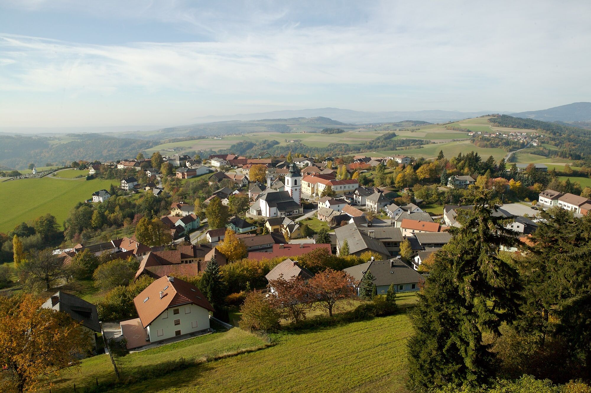

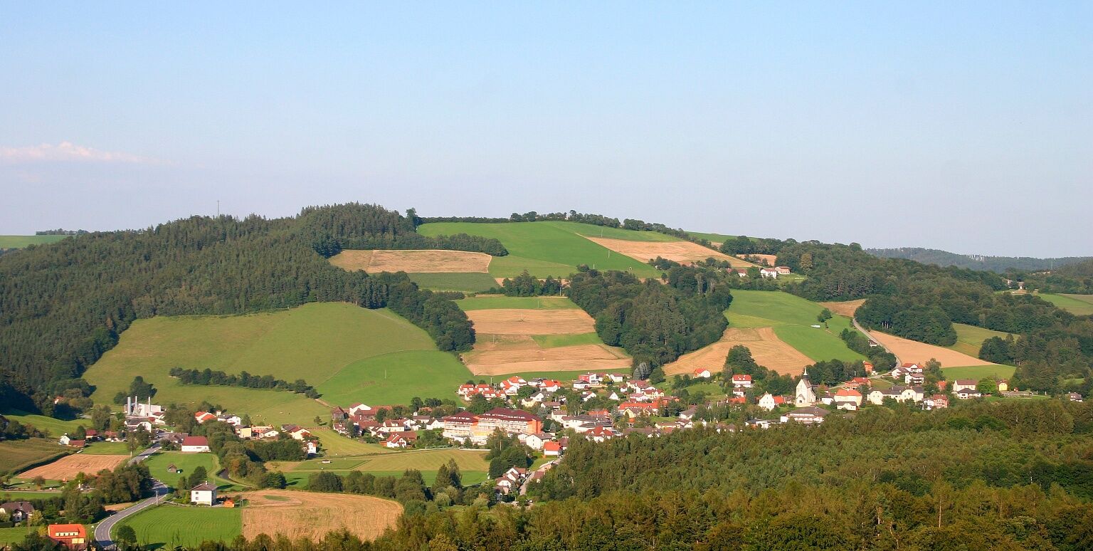

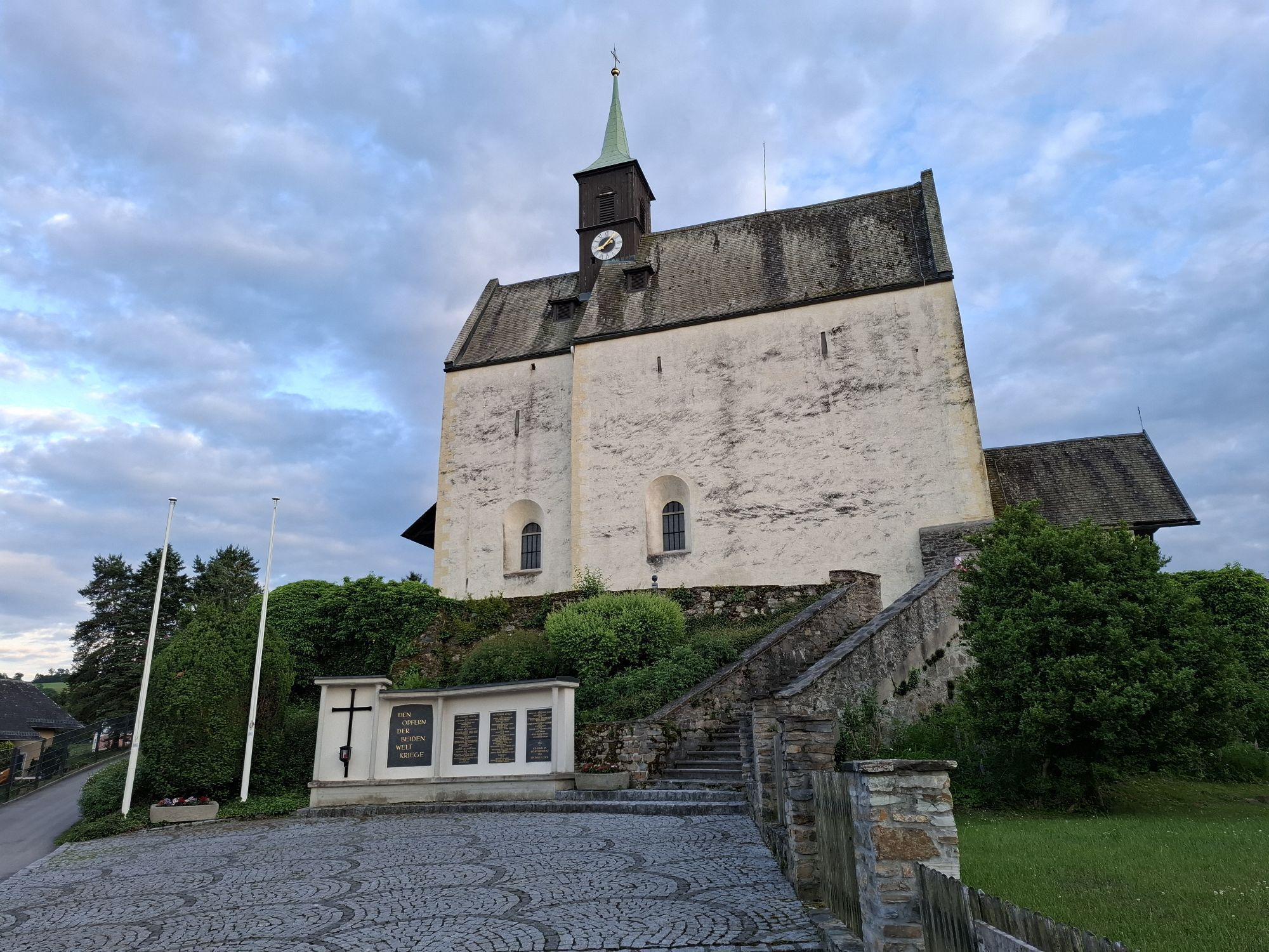
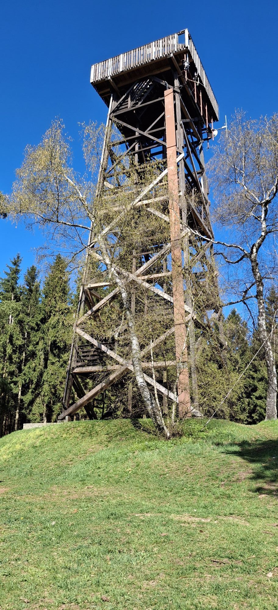
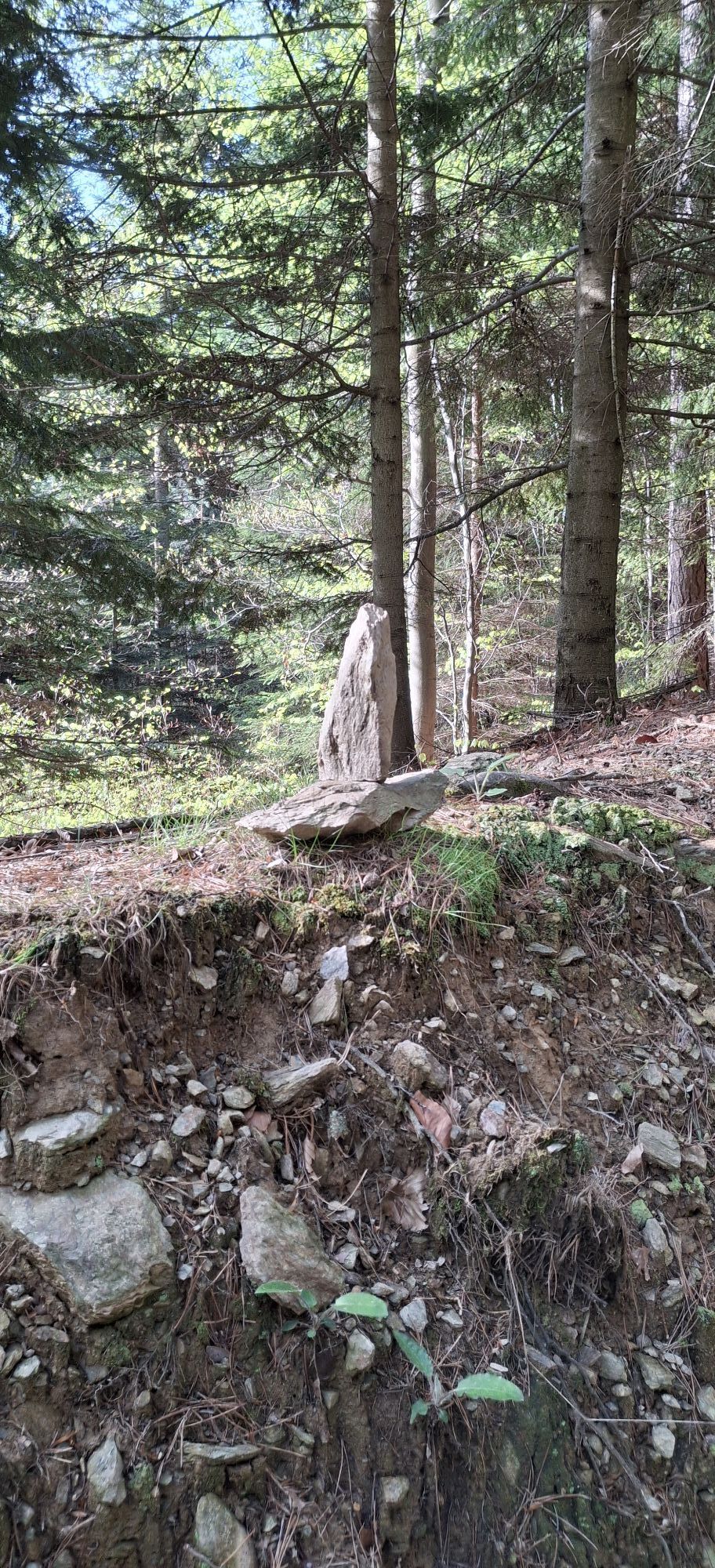
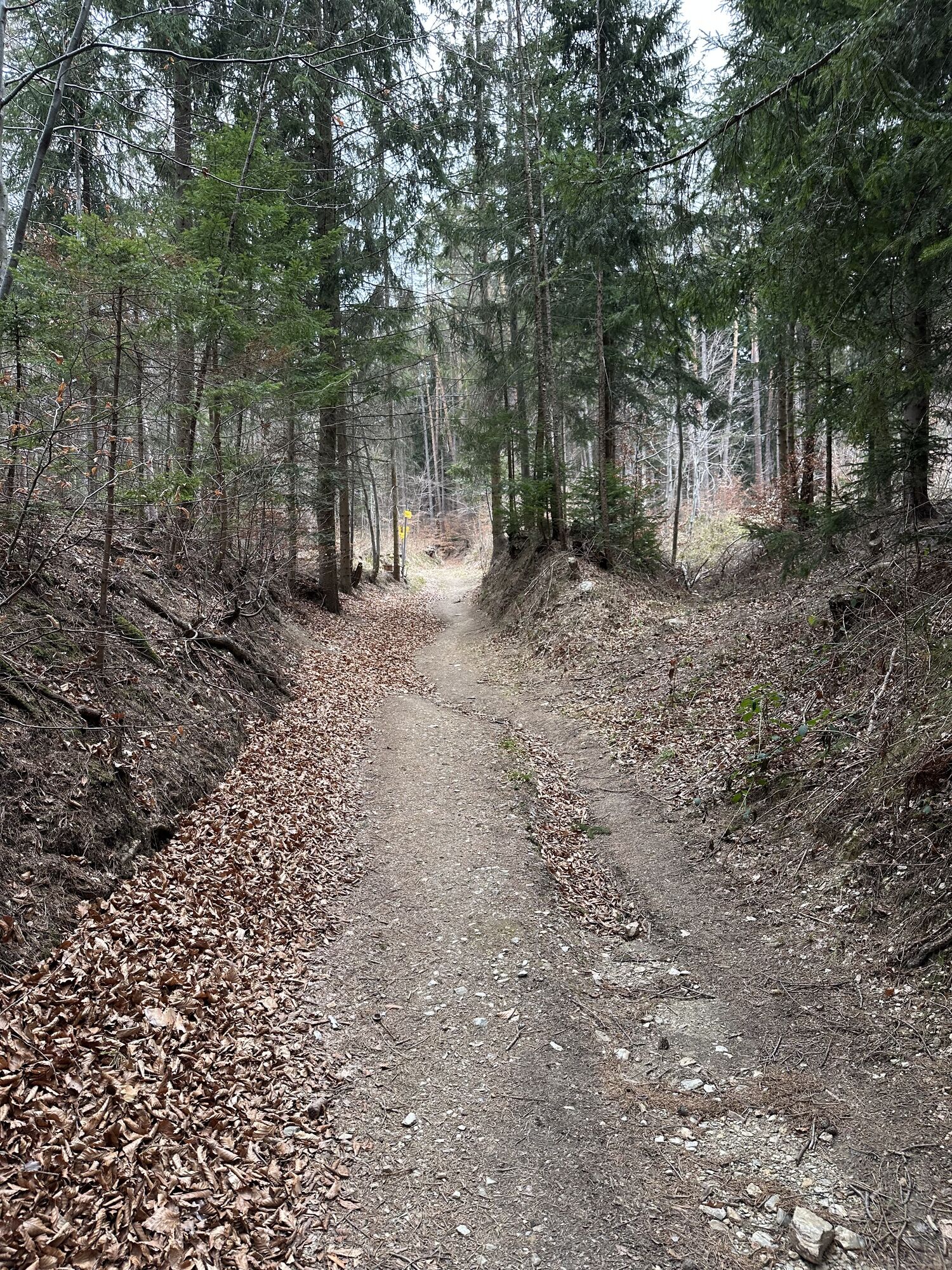
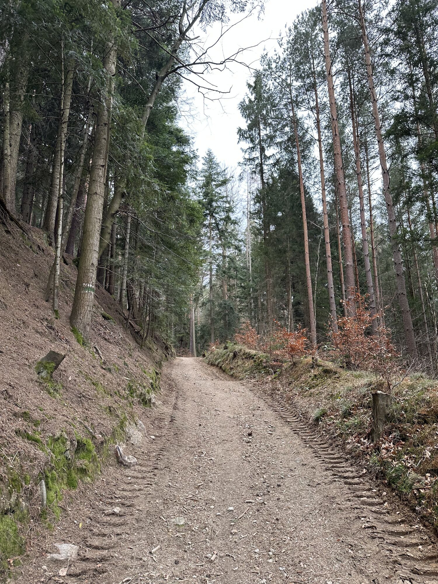
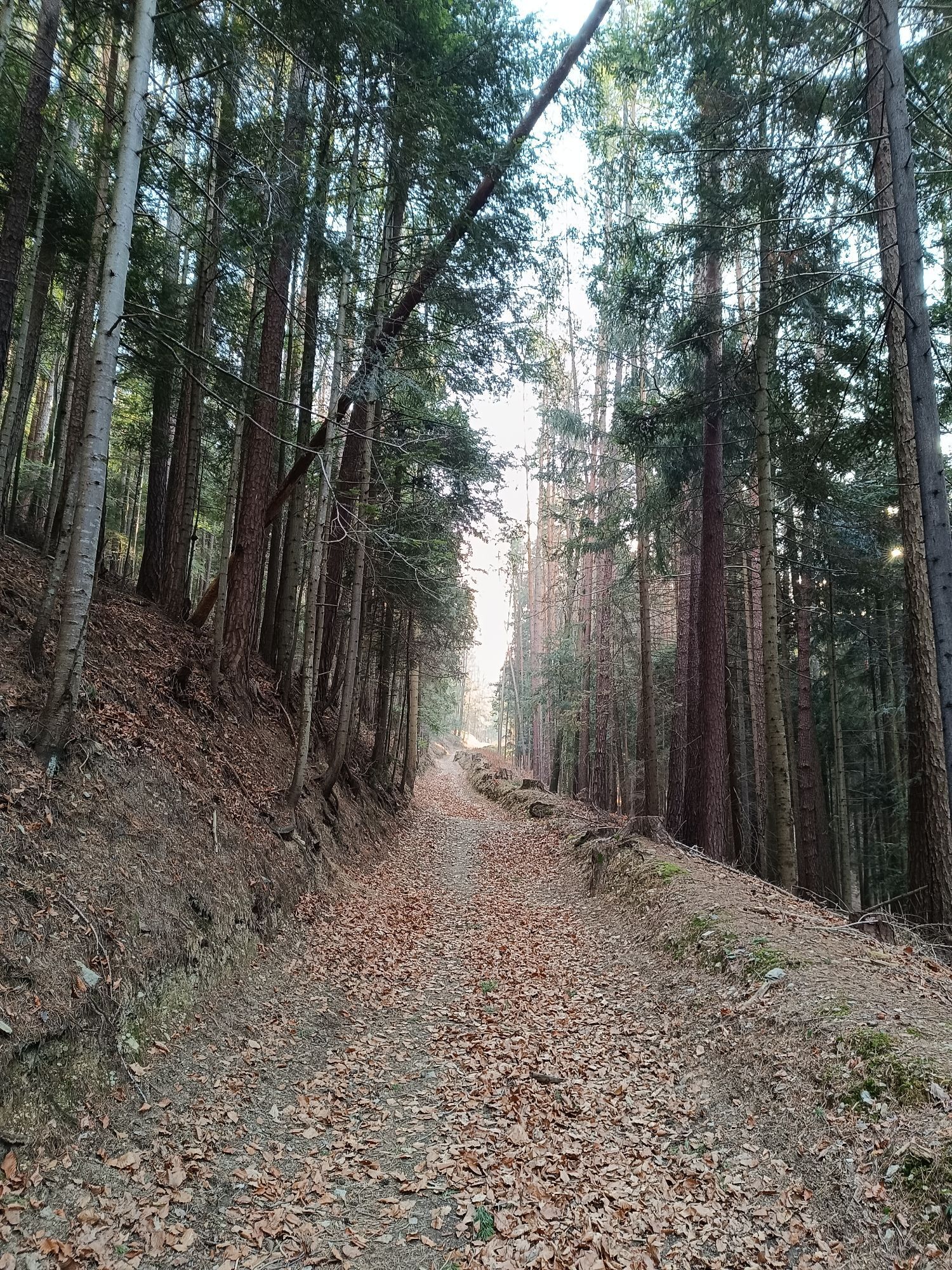
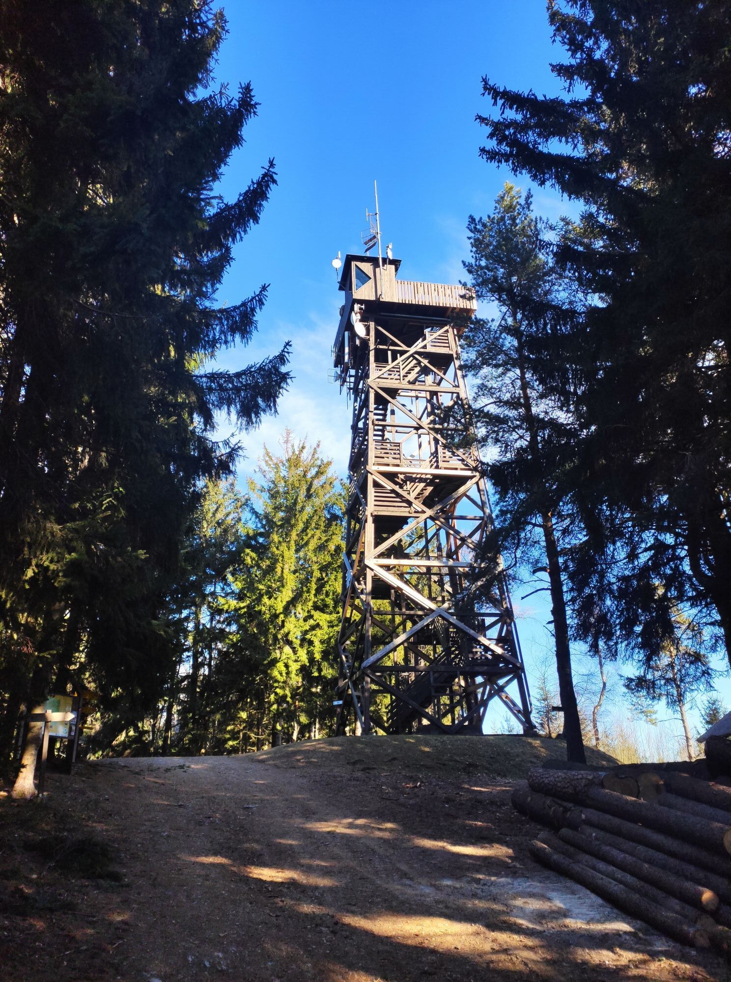
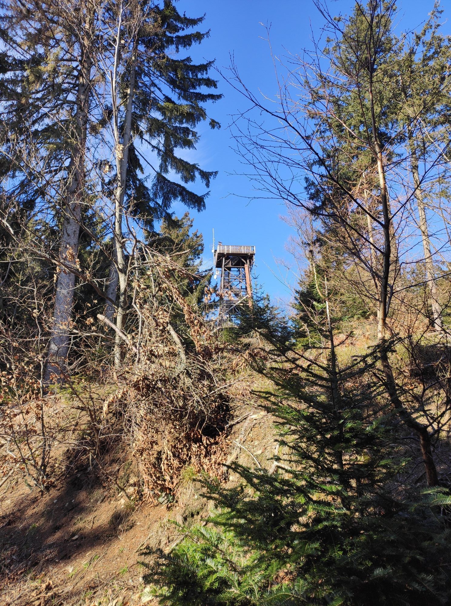
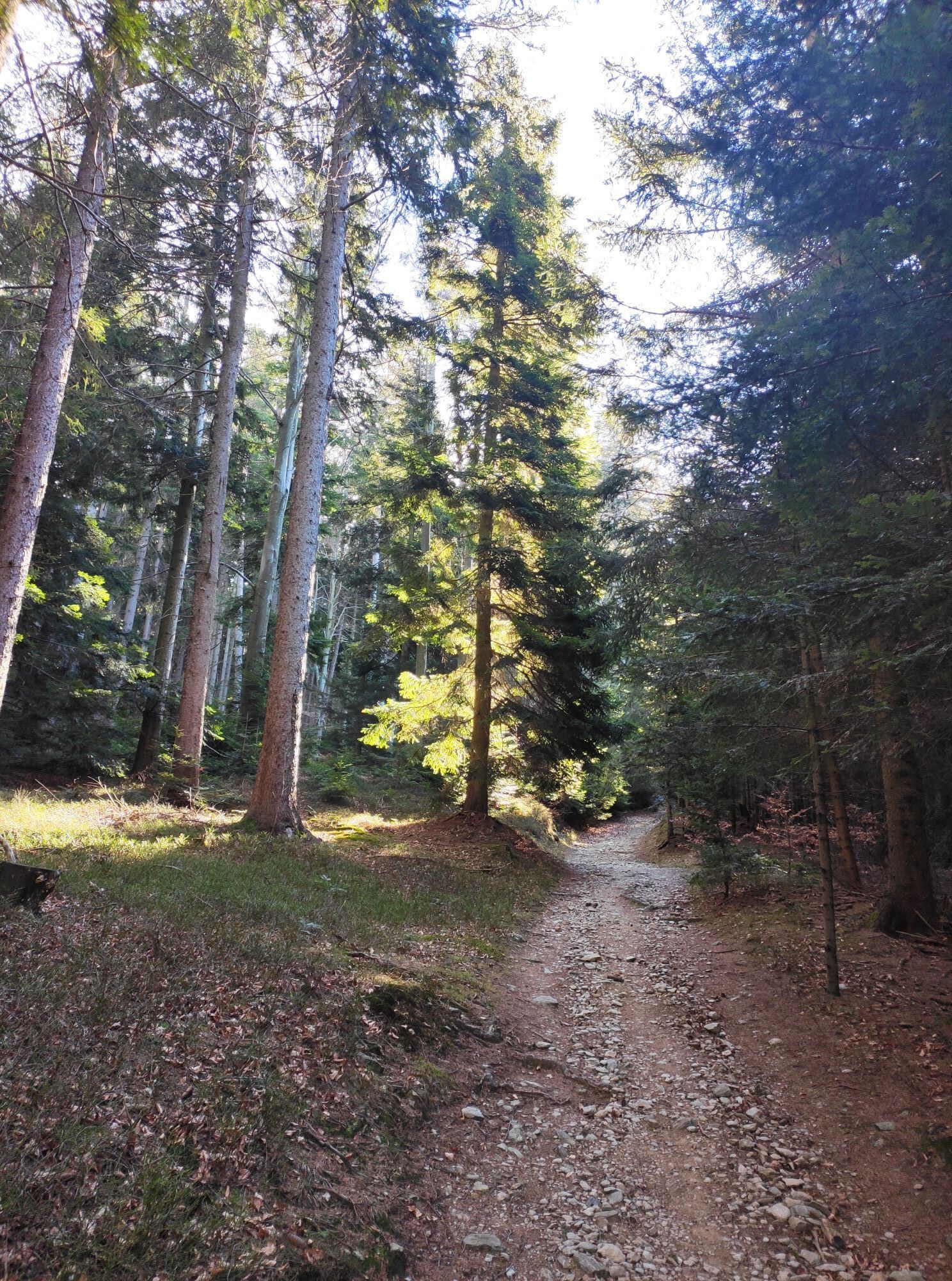
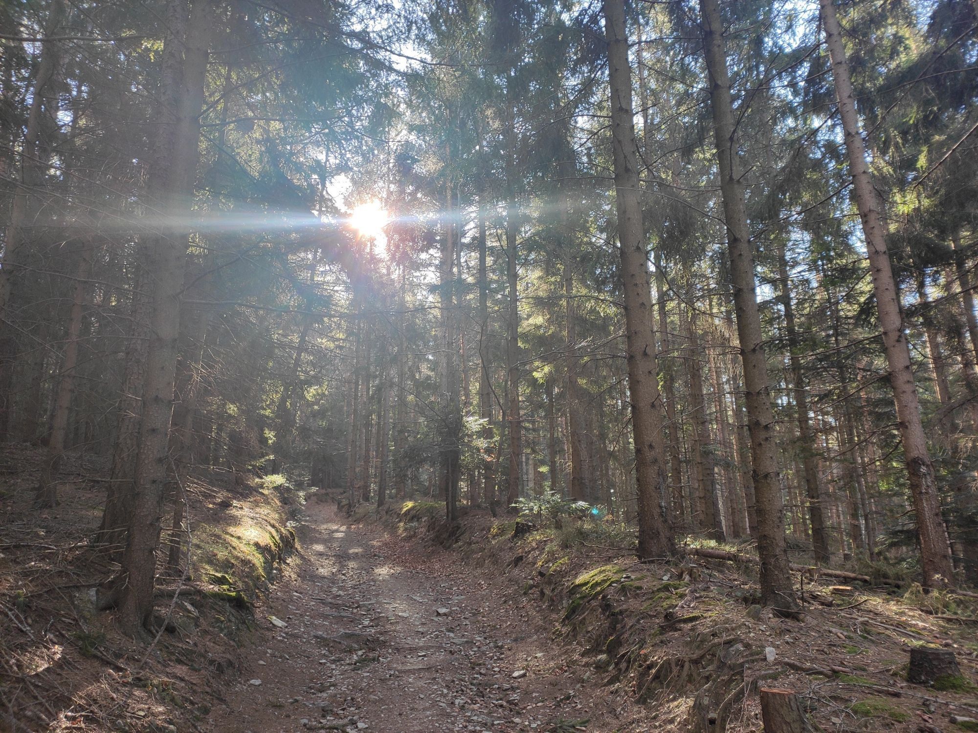
<p>From the Tourist Info in Bad Schönau, we follow Kurhausstraße to the spa center and turn left before it onto the path through the spa park. We cross the beautifully designed park past the pavilion and pond to the Rosaliakapelle, turn right, pass the tennis courts, and enter the forest. At the first fork in the hiking trails, keep left and now steadily follow the well-marked hiking trail uphill towards Hutwisch. Shortly before the road at the former GH Höhwirt, we reach a hiking trail junction at a farm road. We go left over the farm road on the marked path towards Hutwisch, then a few meters after at a fork turn right and climb near the road to another trail junction, where we turn left and ascend to reach the Kernstockwarte on Hutwisch. After a scenic break on the top floor of the lookout tower, we walk back a short distance across the meadow, but instead of going right on the ascent path, we keep left and follow the green marked and yellow Alpannonia access trail downhill to Hochneukirchen. At the sports field, we pass on the right and hike down gently after short climbs to Hochneukirchen. We pass the church in the village and shortly after turn right into Waldgasse. Passing the last houses of the village, we follow the forest edge gently downhill, ignore the yellow and blue branches to the right, and continue downhill on the forest trail to a farm road. We cross it and climb several curves on the forest path up to Hattmannsdorf. Left of the country road, we enter the village but after a few meters turn right at the village chapel onto the marked hiking trail, which leads us over forest and meadow paths via Kagerriegel to Gschaidt.</p>
<p>Always take suitable maps with you. Wear sturdy shoes appropriate for the route, bring sun and rain protection as well as water and a small snack. Take your mobile phone and save the emergency number of mountain rescue: 140</p>
<p>Your hikes in the Wiener Alpen should be an all-around beautiful and safe experience. Please therefore observe the following:</p><p><strong>Preparation</strong></p><p>Make sure when choosing the route it matches your mountain experience and your <strong>fitness</strong>. Inform yourself beforehand about the <strong>weather forecast</strong>. Weather in the mountains can change surprisingly quickly. Always start accordingly equipped (e.g., rain protection).</p><p>Check whether the <strong>huts and snack stations</strong> you want to visit along the way are open. <strong>Inform</strong> someone about your chosen route and your planned return before you set off.</p>
<p>Coming from Vienna on the A2, take the Krumbach exit towards Hungary, then drive to the Krumbach interchange. Follow the signs to Bad Schönau.<br /><br /> Coming from Graz on the A2, leave the motorway at the Aspang exit and drive towards Zöbern. Follow the signs to Bad Schönau.</p>
<p>Take the train from Wiener Neustadt to Edlitz-Grimmenstein station, then continue with regional buses to Bad Schönau.</p><p>More information can be found at <a href="www.oebb.at/">www.öbb.at<...
<p>Public parking is available at the village square in Bad Schönau.</p>
Also explore the connecting routes:
WAB - Stage 5: Kirchschlag - Bad Schönau
WAB - Stage 7: Gschaidt - Mönichkirchen
WAB - Regional Route D: Bad Schönau - Krumbach
WAB - Regional Route E: Gschaidt - Feichten - Krumbach
Wiener Alpen in Lower Austria, www.wieneralpen.at, +43 / 2622 / 78960
Tourism information Bad Schönau, www.badschoenau.at, +43 / 2646 / 8284
In the flower village of Bad Schönau lies the Weber family hotel. How about starting your hike with an overnight stay in the Genuss-Suite?
The forest adventure trail in Gschaidt is highly recommended and can be optionally connected to the stage.
Don’t forget to take the Wiener Alpen Viewer in handy format with you on the route!
Pridobite vpogled
Vedno v živo na mestu z več kot 9.500 spletnimi kamerami. bergfex Kot uporabnik Pro si lahko zdaj ogledate ustrezne spletne kamere za številne izlete v aplikaciji izleti iz. Tako si lahko neposredno ogledate trenutne razmere.

Priljubljeni izleti v okolici
-
4.2
"Weg der Blicke"
svetlobaPohodništvo 5.86 km -
4.4
Bad Schönau - Hutwisch
svetlobaPohodništvo 9.99 km -
4.4
B53 Edelserpentin
srednjaKolesarjenje 23.5 km -
4.4
BAD-SCHÖNAU Hutwisch und wieder zurück 20220611
srednjaPohodništvo 10.8 km -
4.8
Bakabu children's adventure trail to Hutwisch
srednjaTematska pot 5.42 km -
4.7
S24 Neustiftrunde
Pohodništvo 9.22 km -
4.8
B41 Zöberntal-Rabnitztal cycle trail
srednjaKolesarjenje 40.7 km -
4.0
Bad Tatzmannsdorf - Sulzriegel - Jormannsdorf - Oberschützen - Bad Tatzmannsdorf
svetlobaPohodništvo 9.20 km -
4.5
Königsbrunnenweg - Glashütten bei Schlaining
srednjaPohodništvo 7.46 km -
3.7
Willersdorf - Willersdorfer Schlucht - Kreuzberg - Aschau im Burgenland
srednjaPohodništvo 9.41 km
Pohodništvo in sledenje


Ne zamudite ponudb in navdiha za naslednje počitnice
Vaš e-poštni naslov je bil dodan na poštni seznam.





