






Over the height - route from Kirchschlag to Bad Schönau via Hutwisch
Stopnja težavnosti: T3
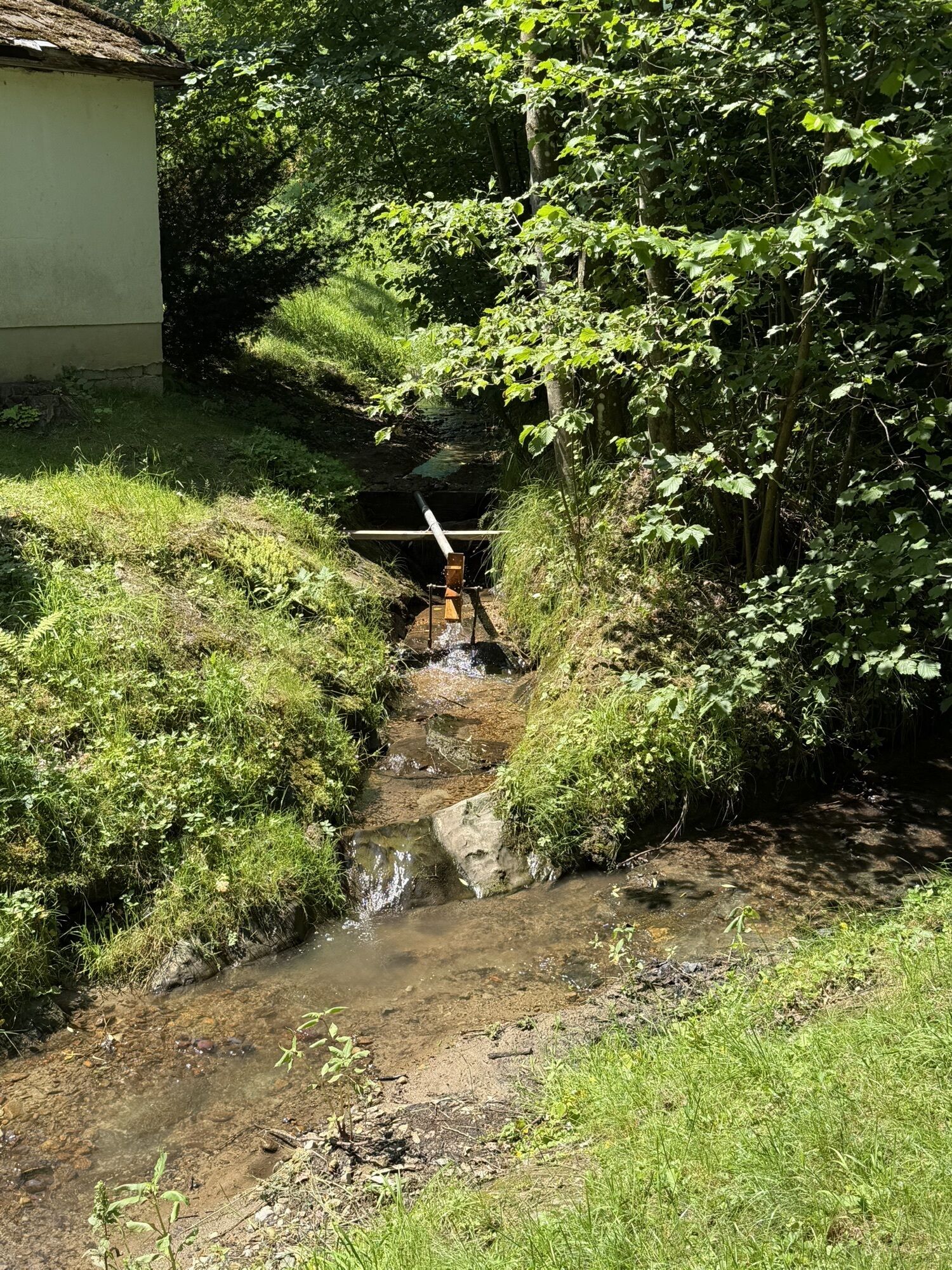
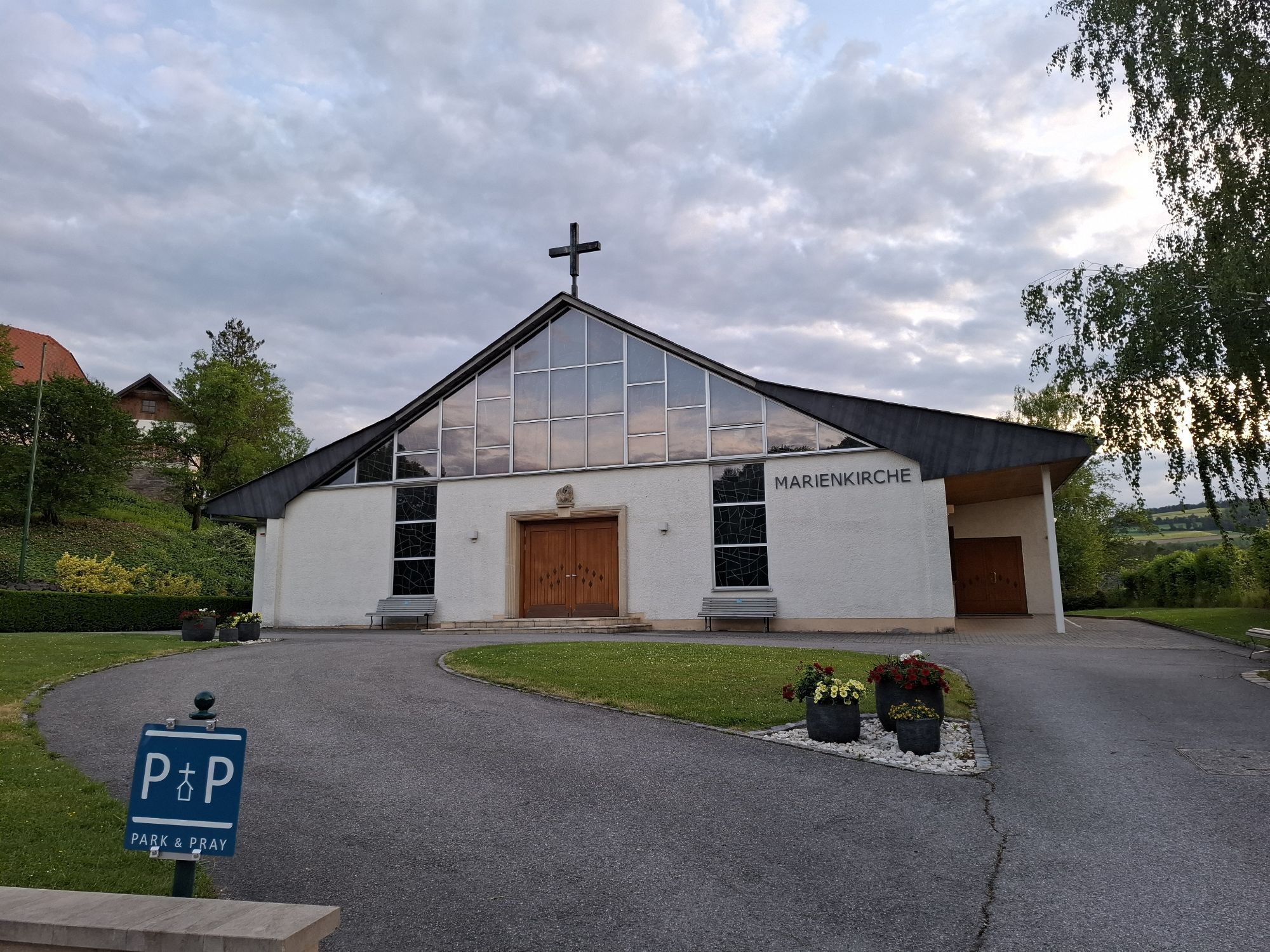
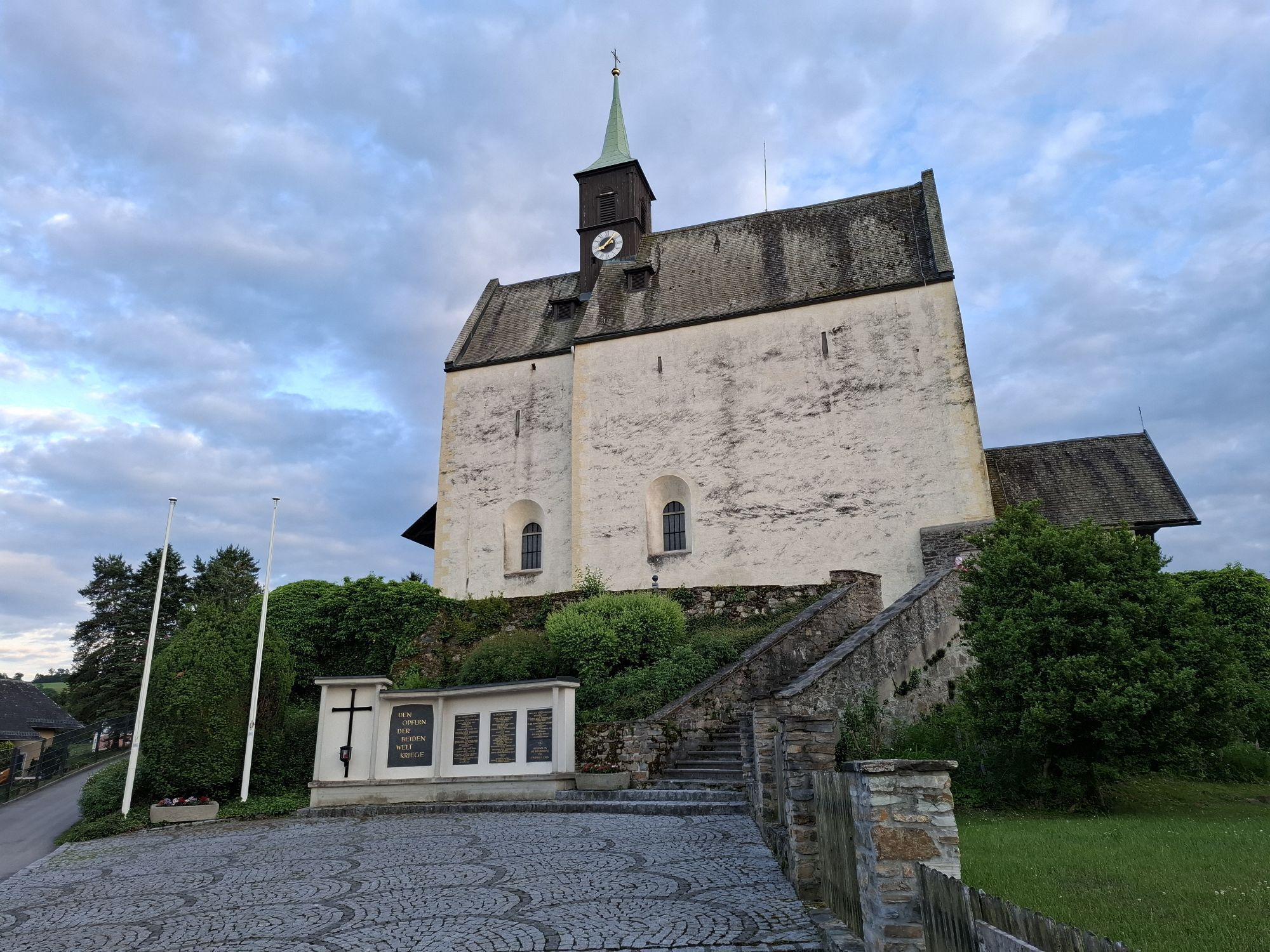
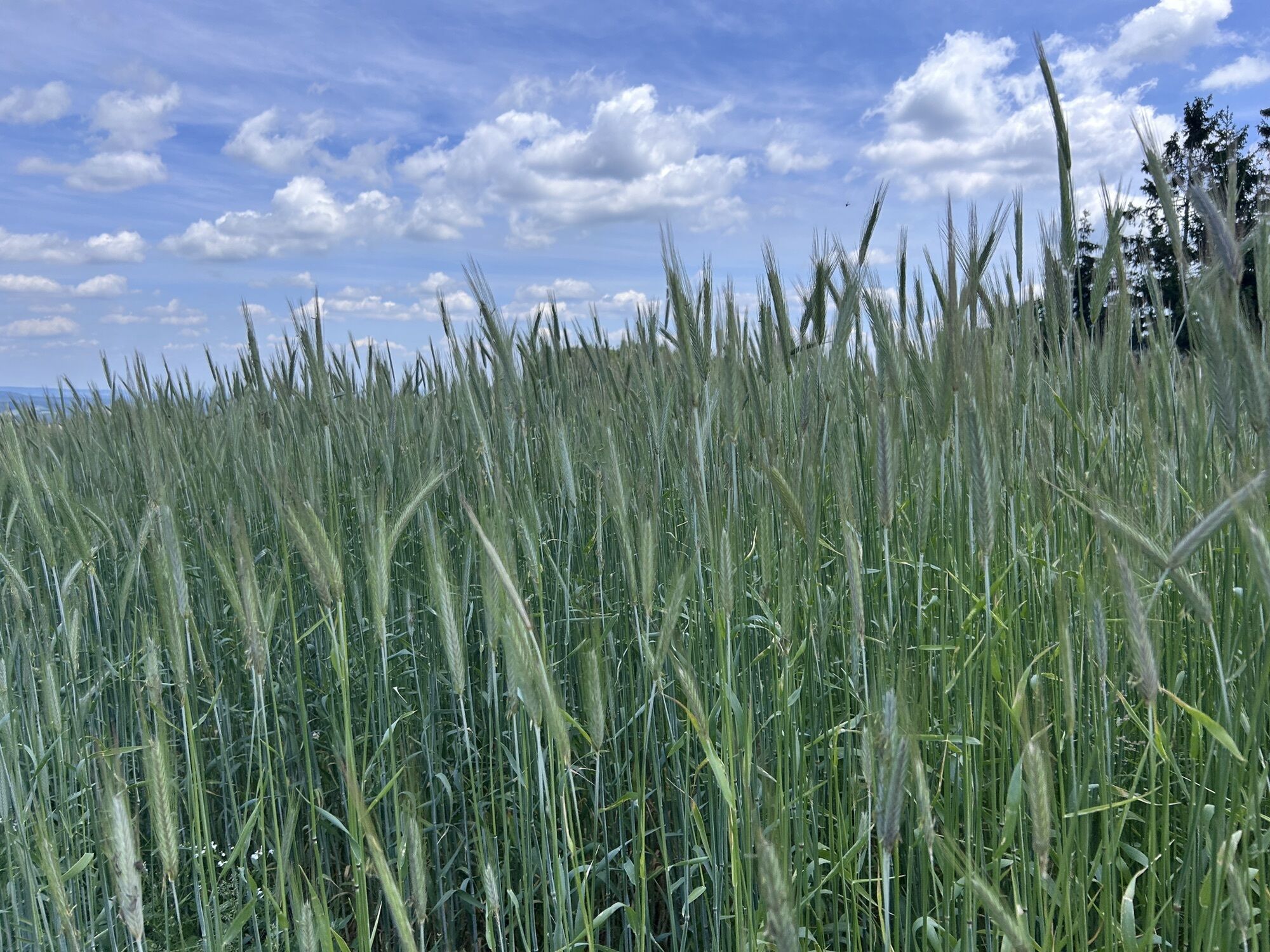
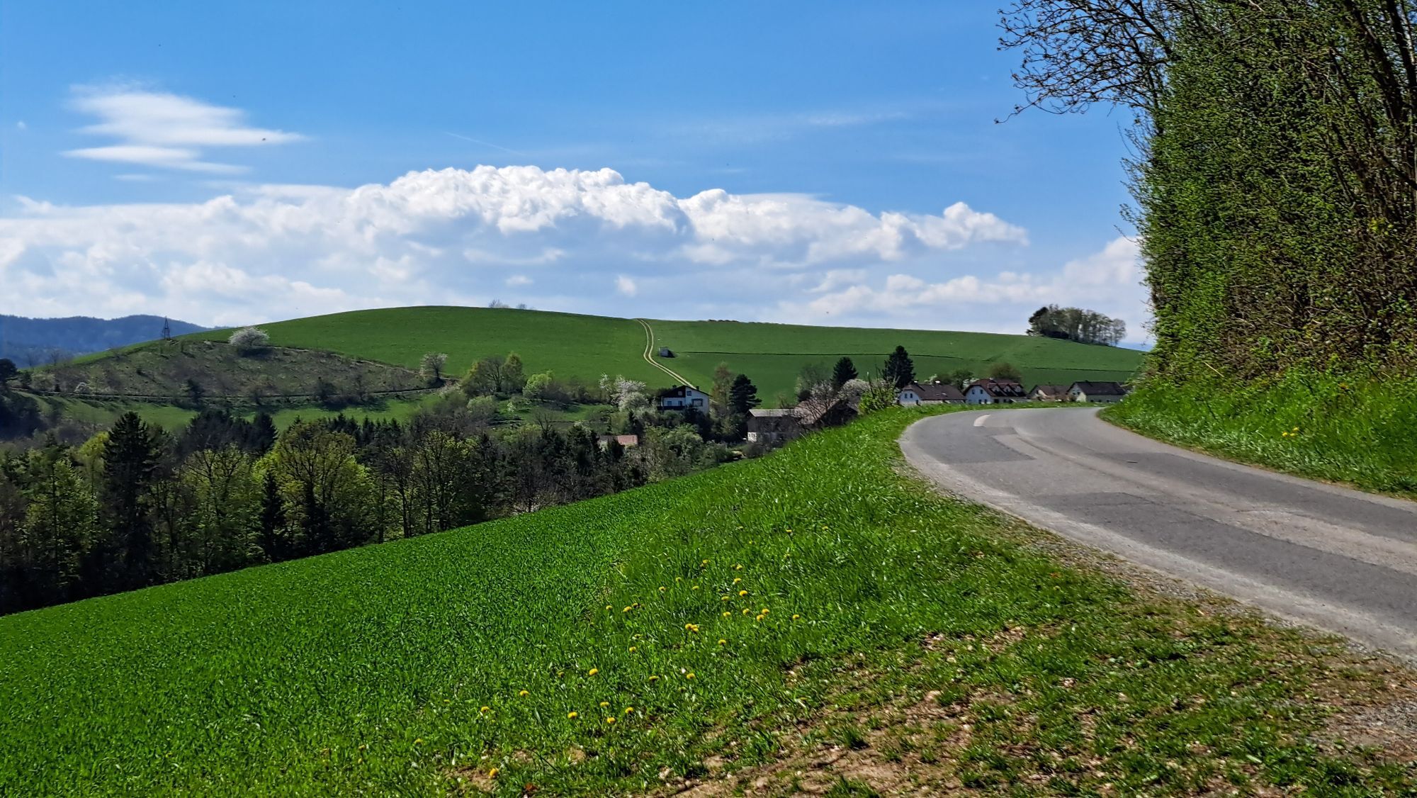
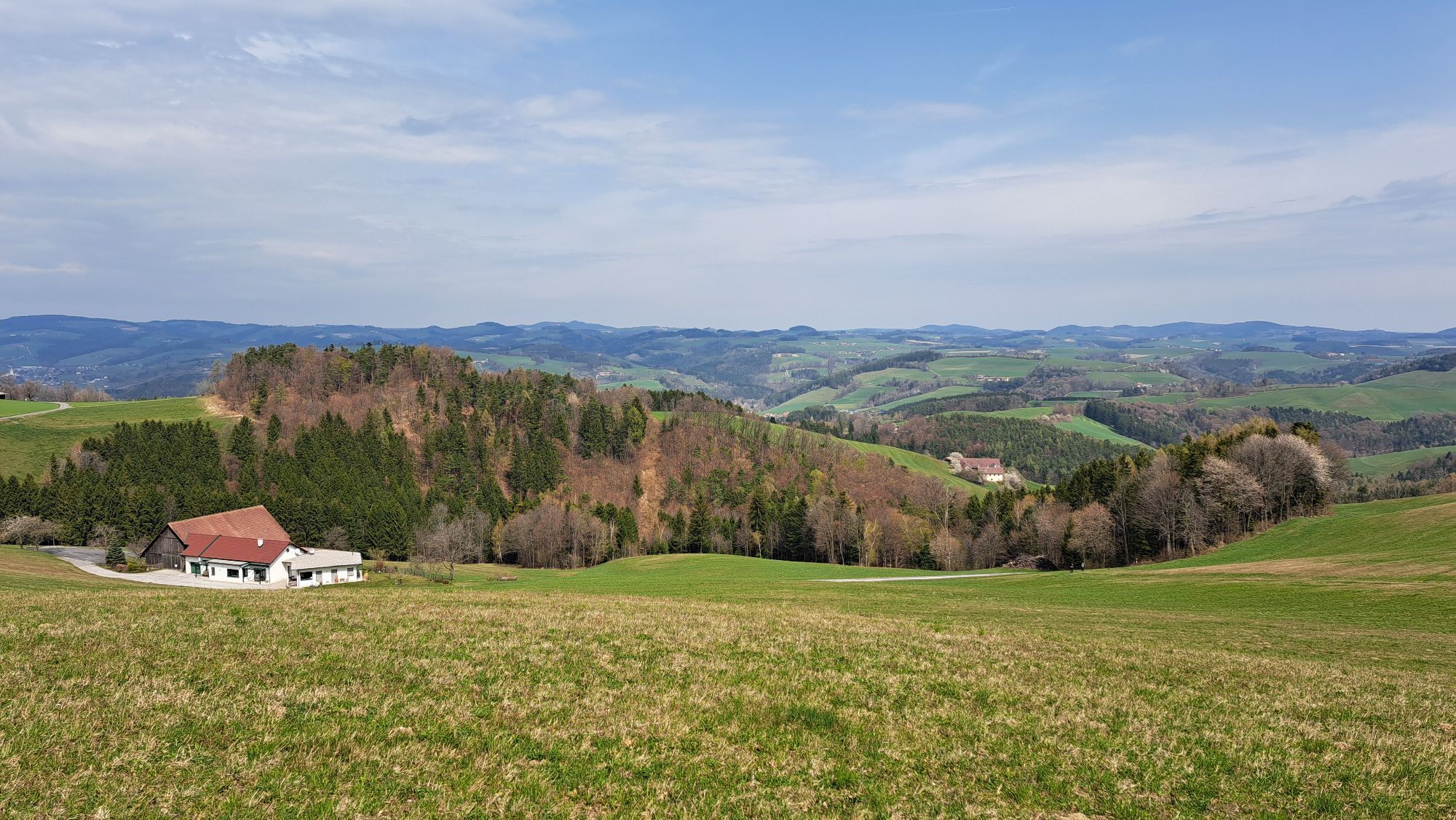
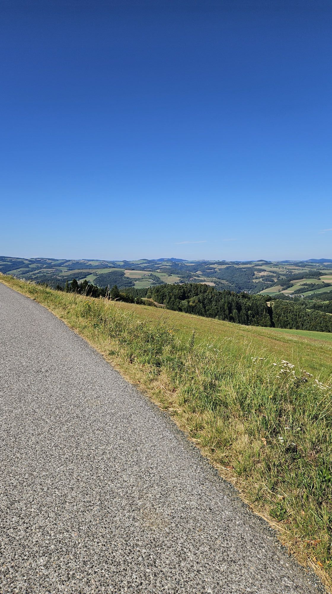

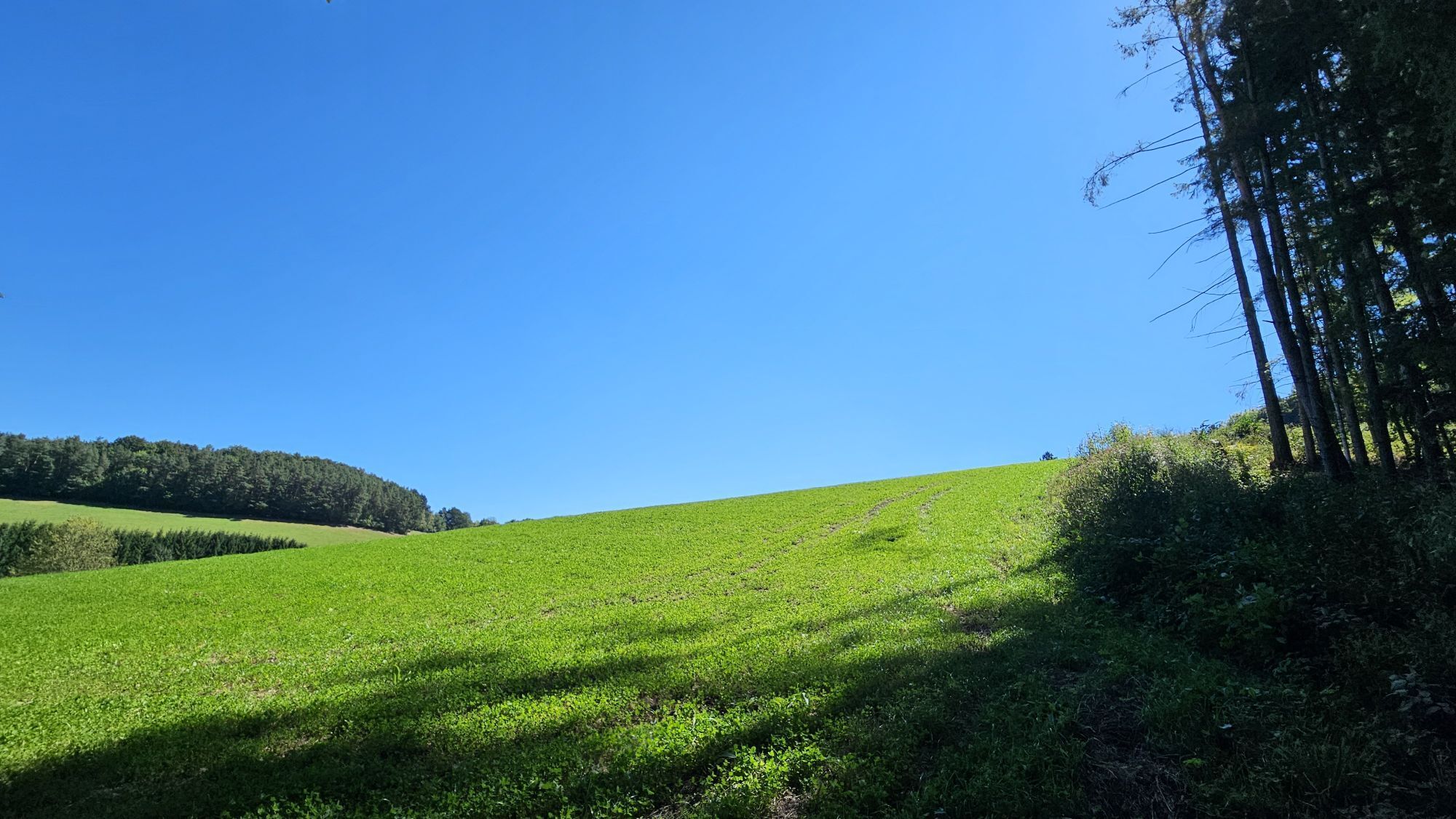
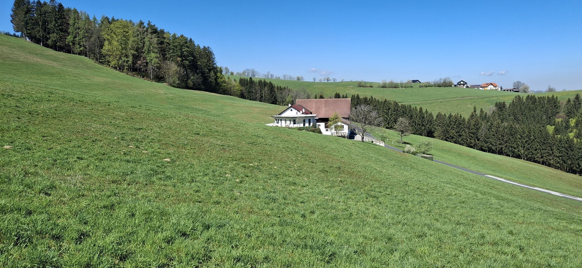
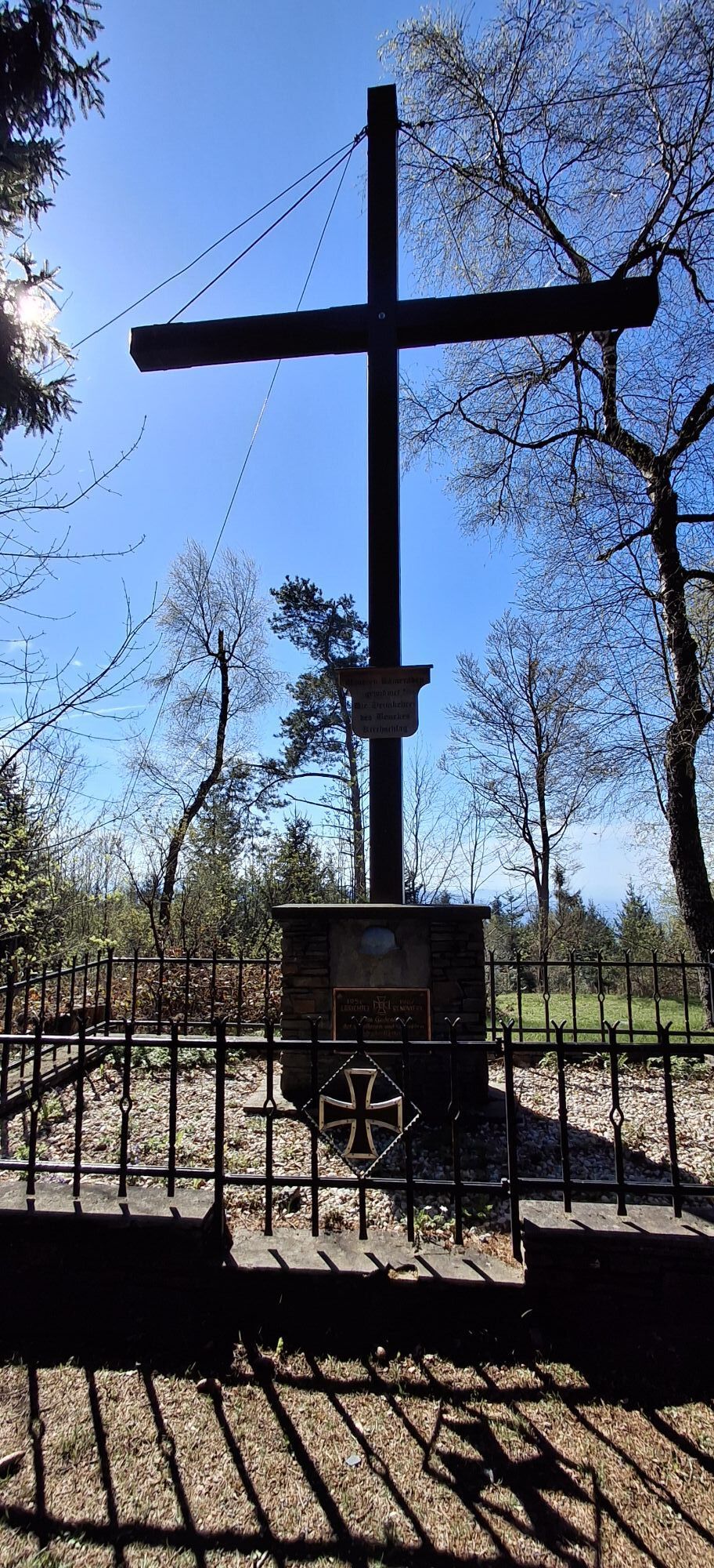
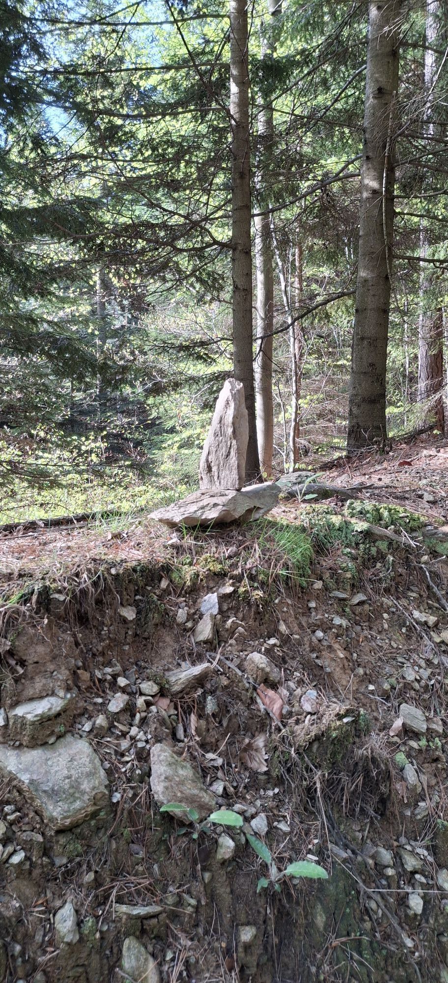

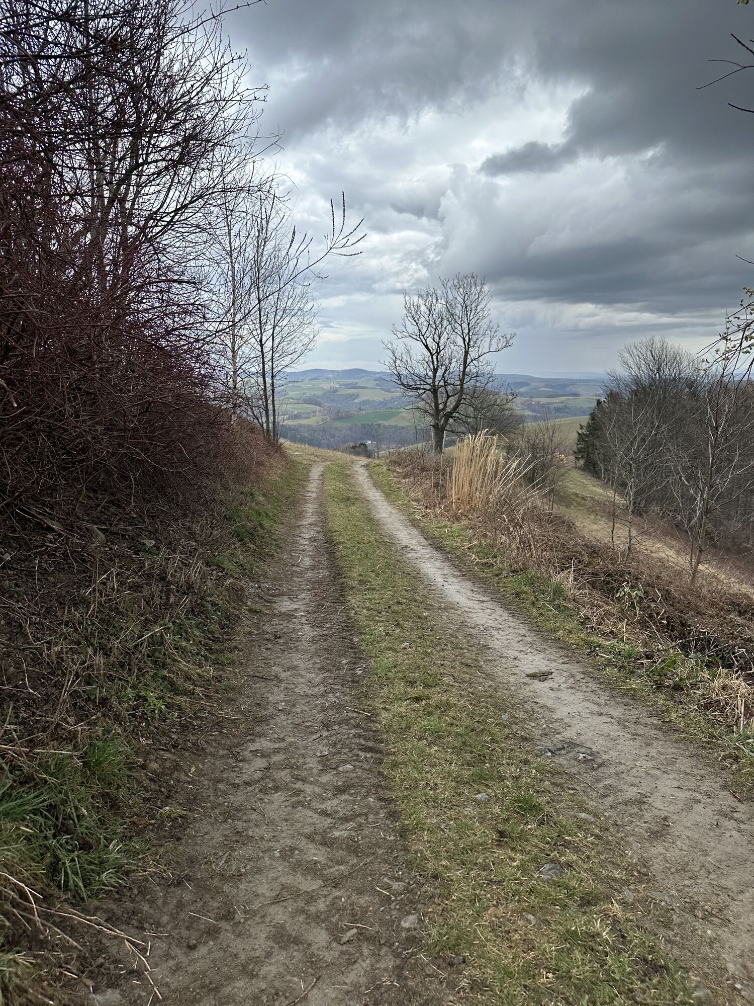
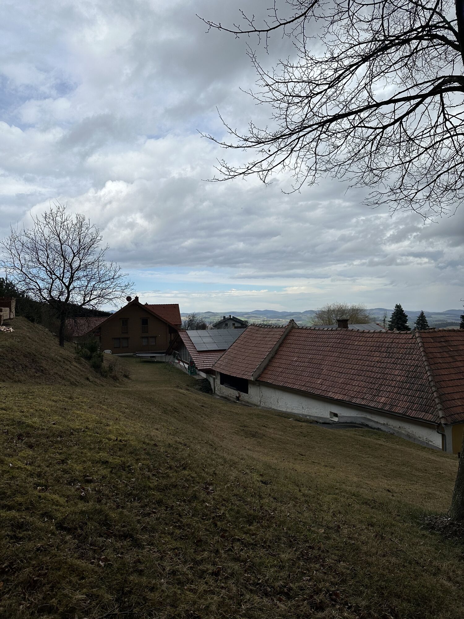
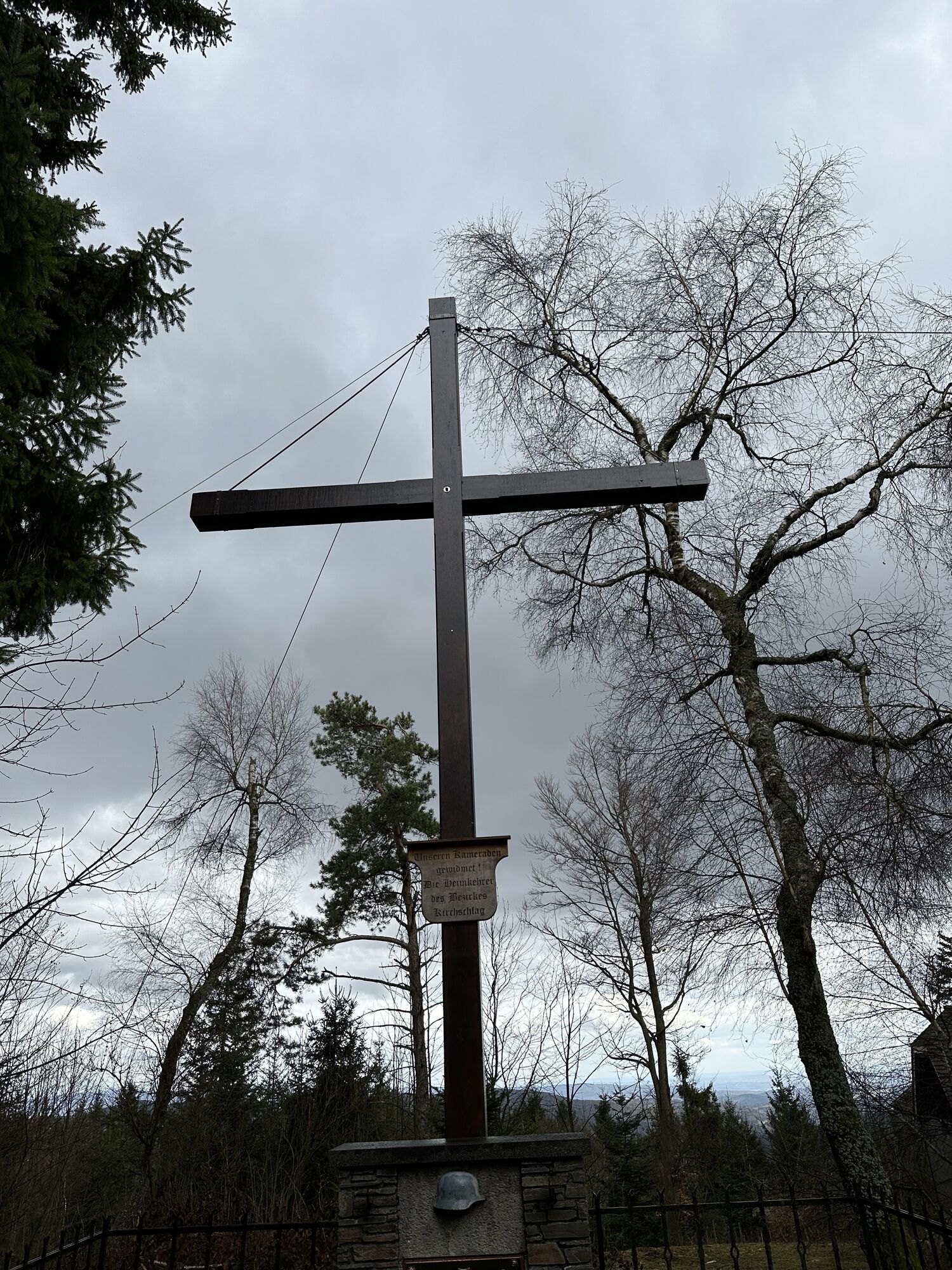
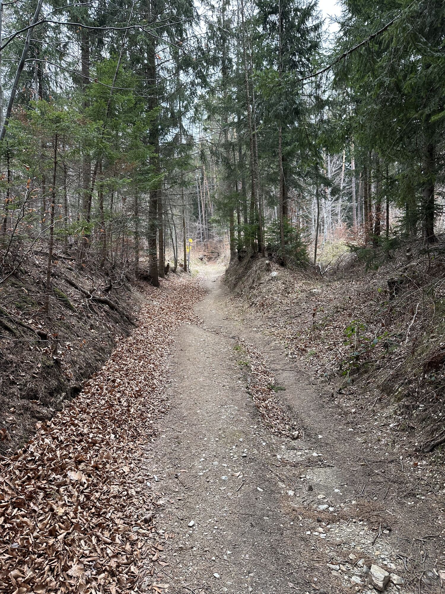
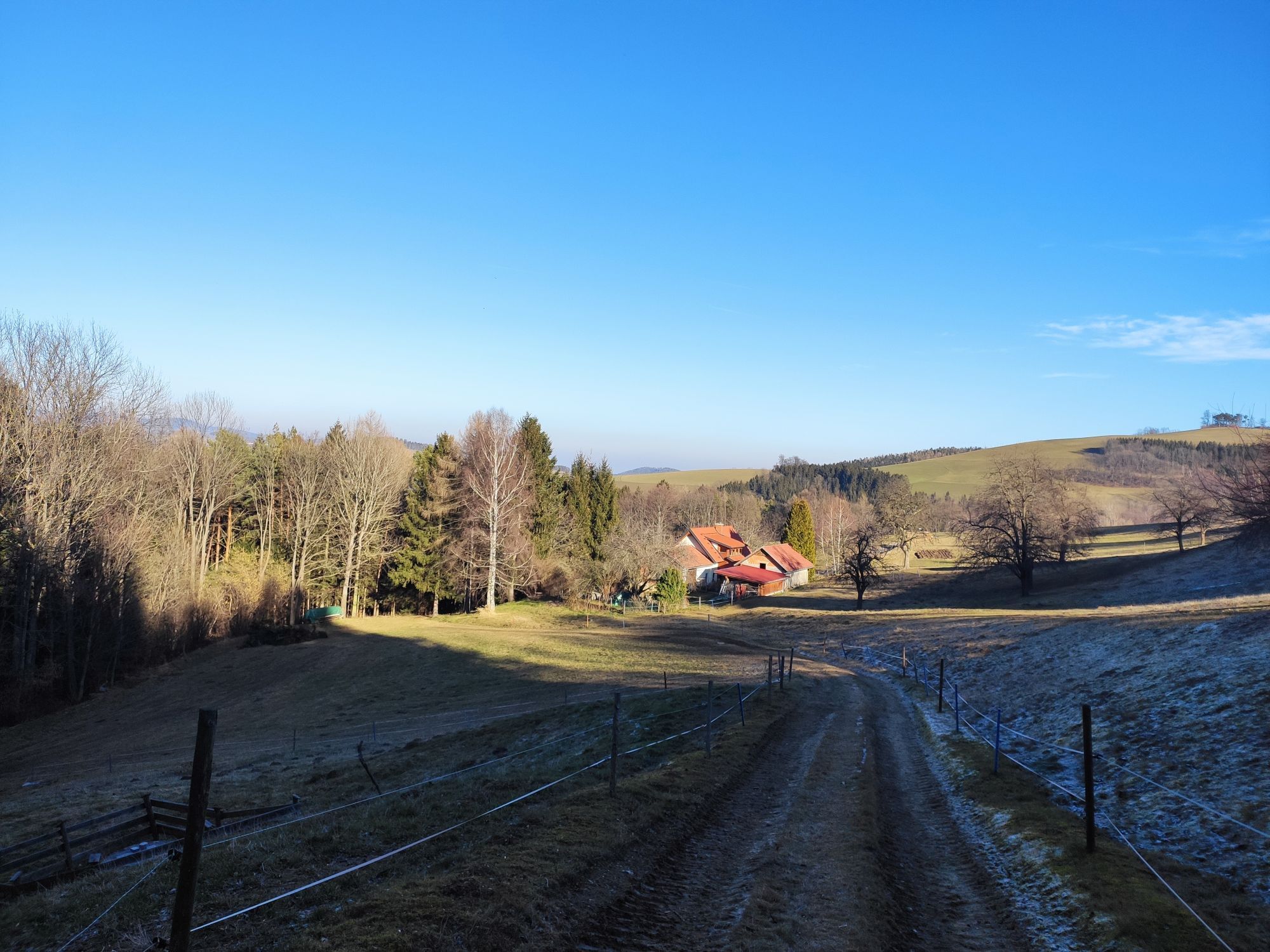
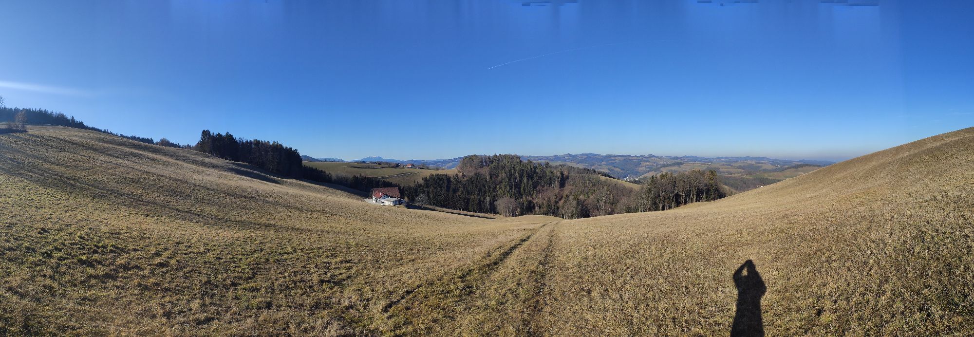
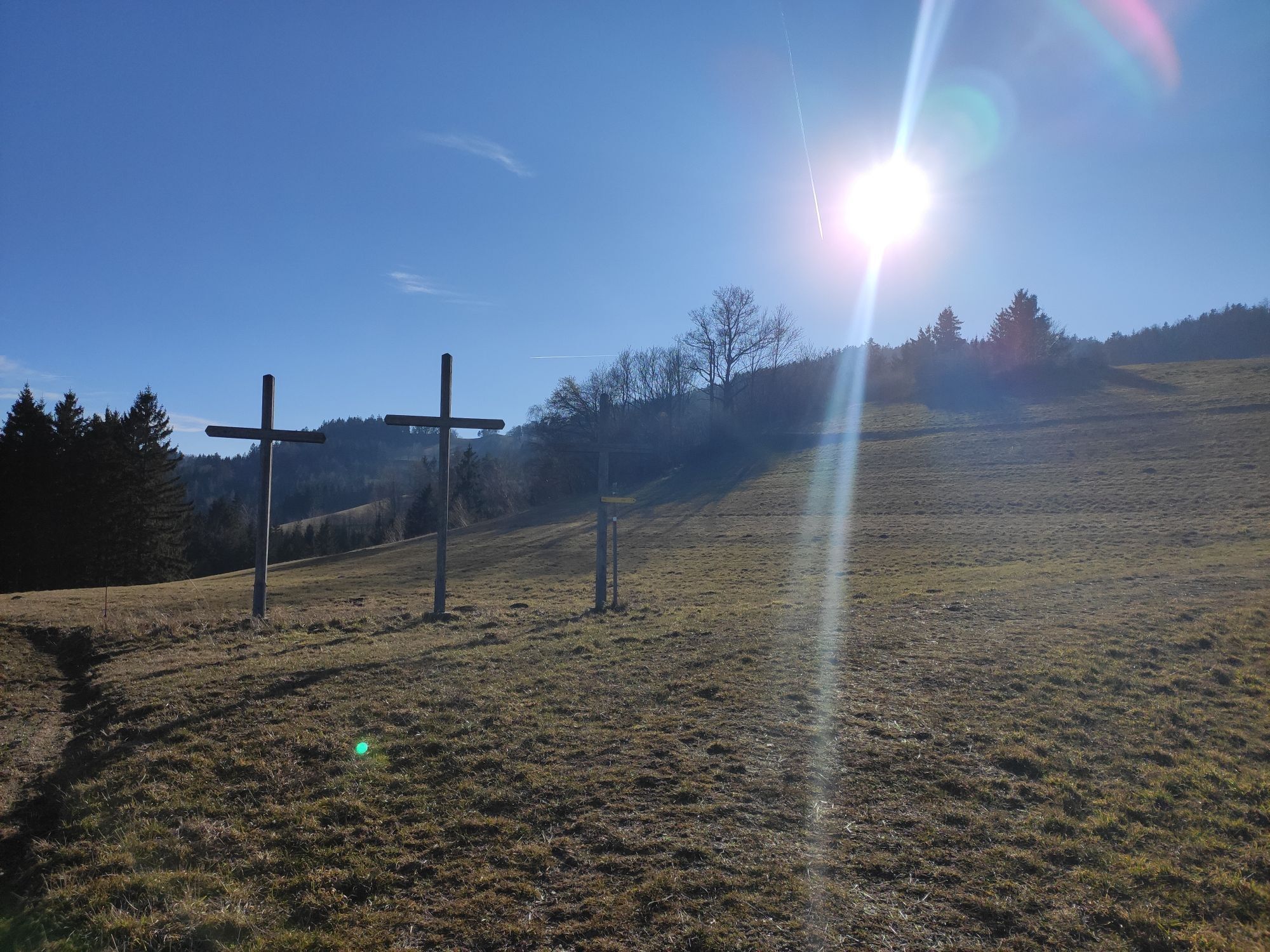
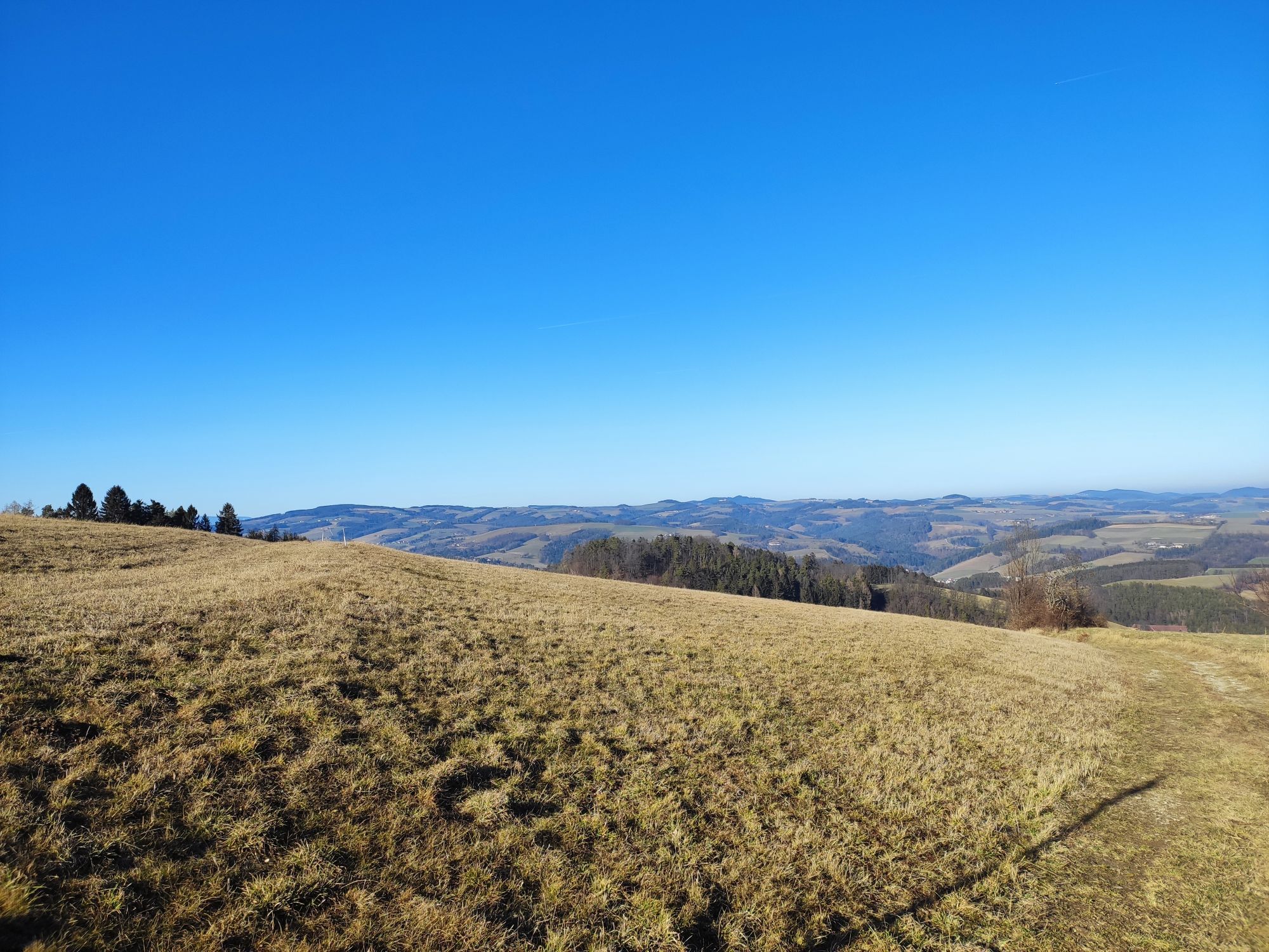
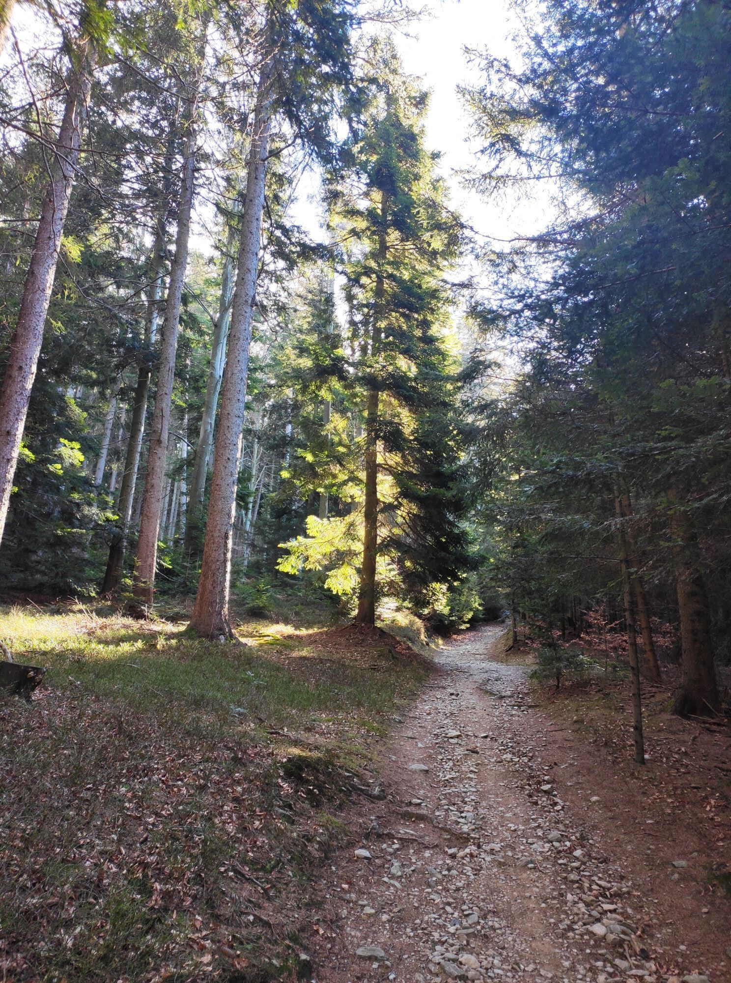
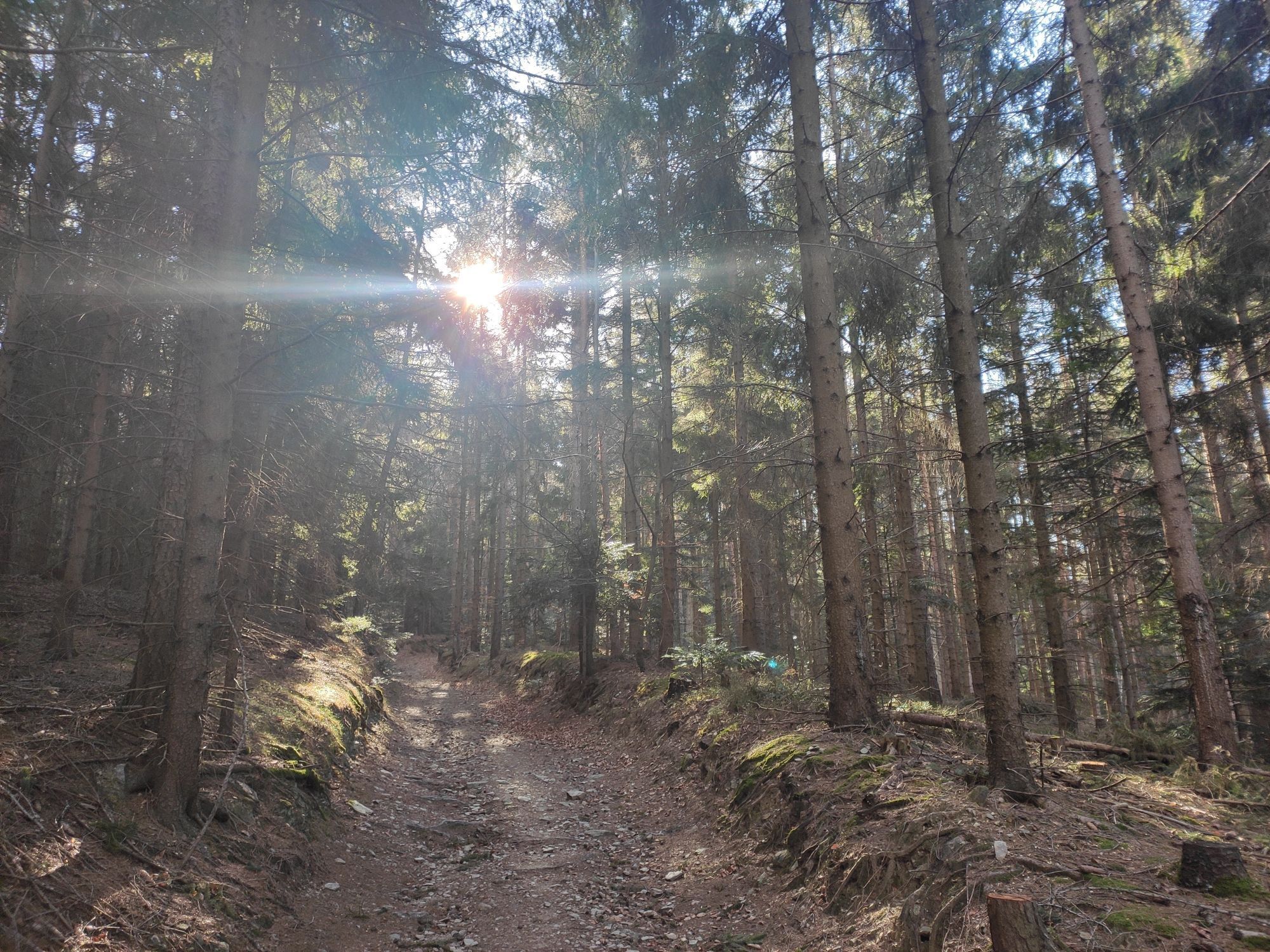

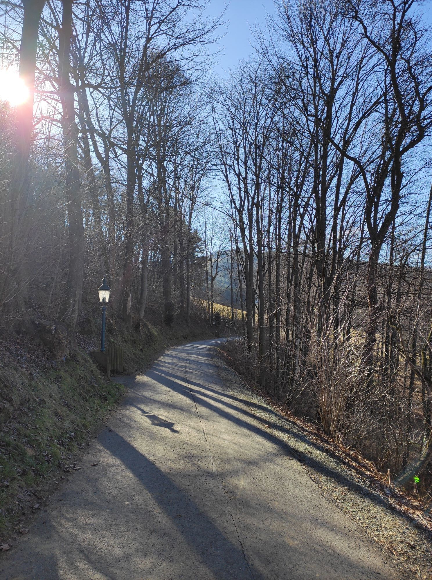
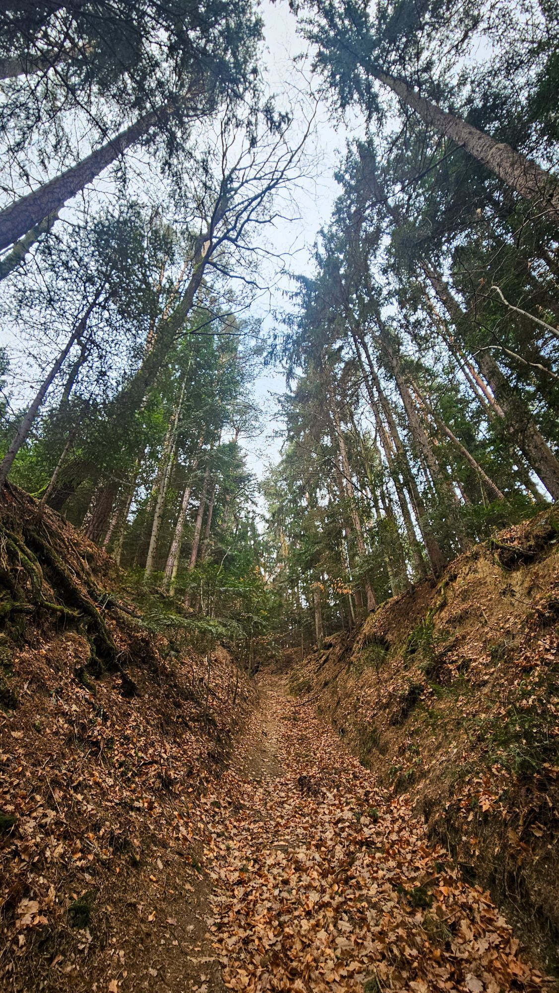
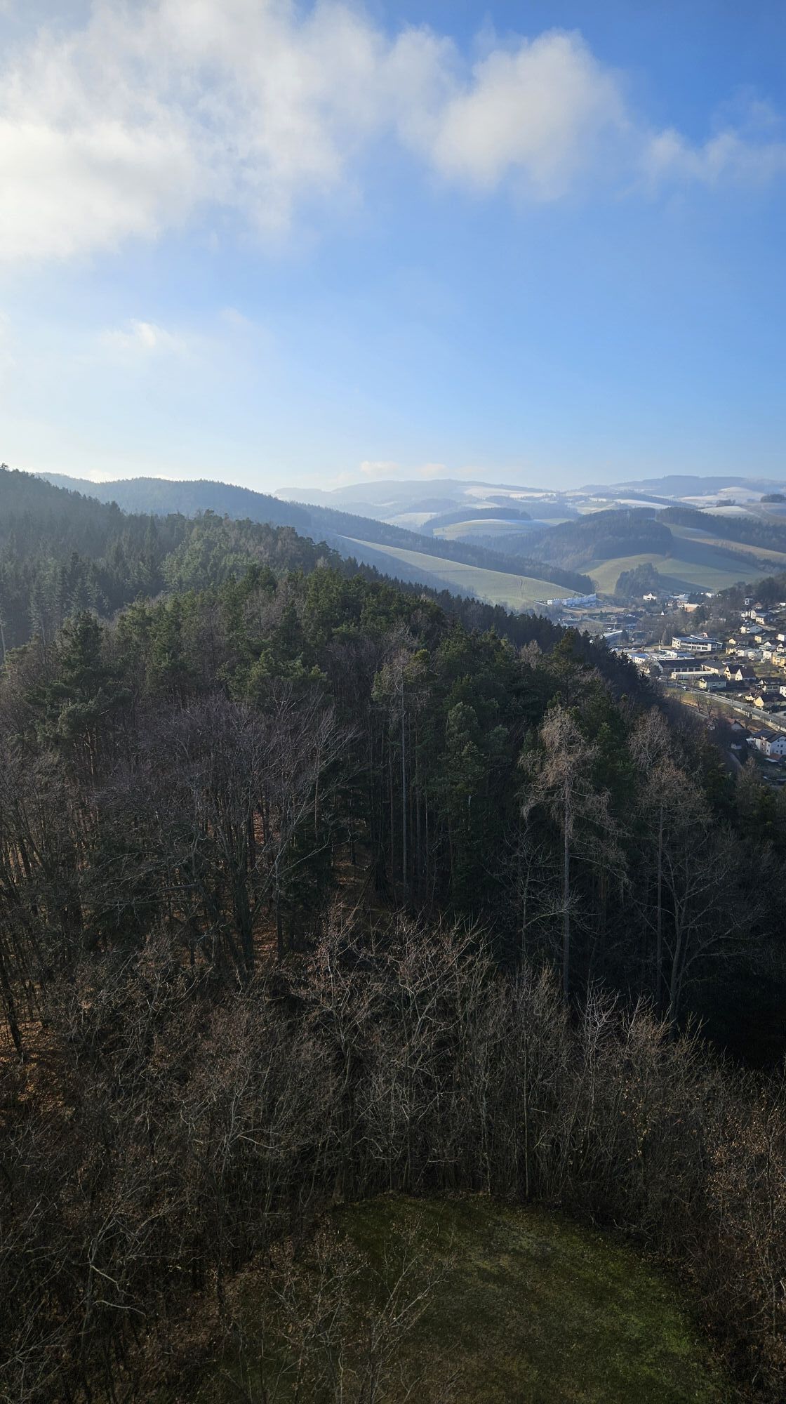
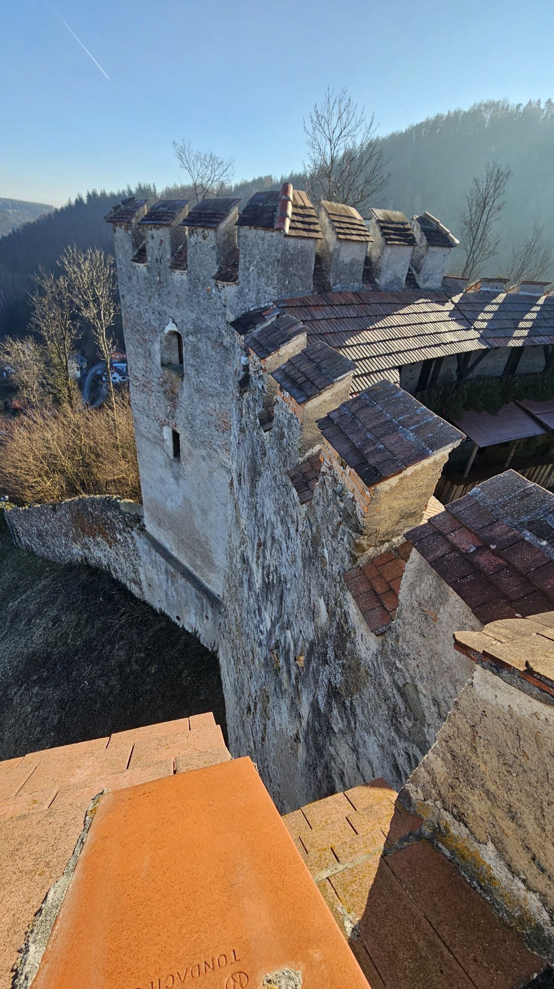
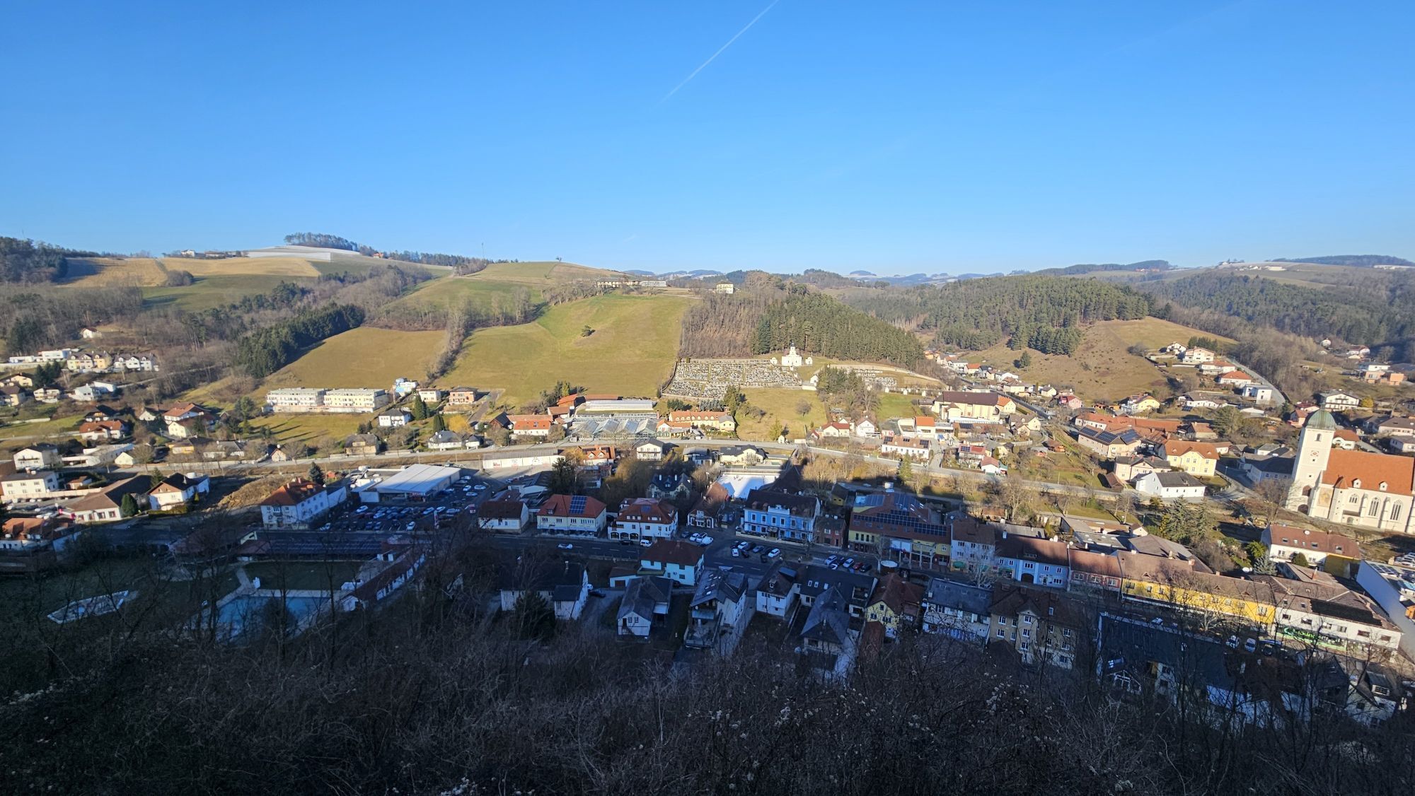
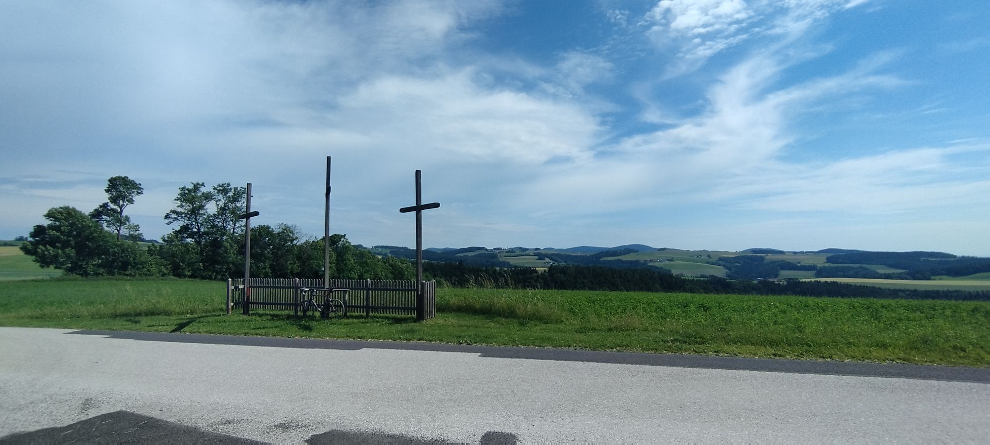
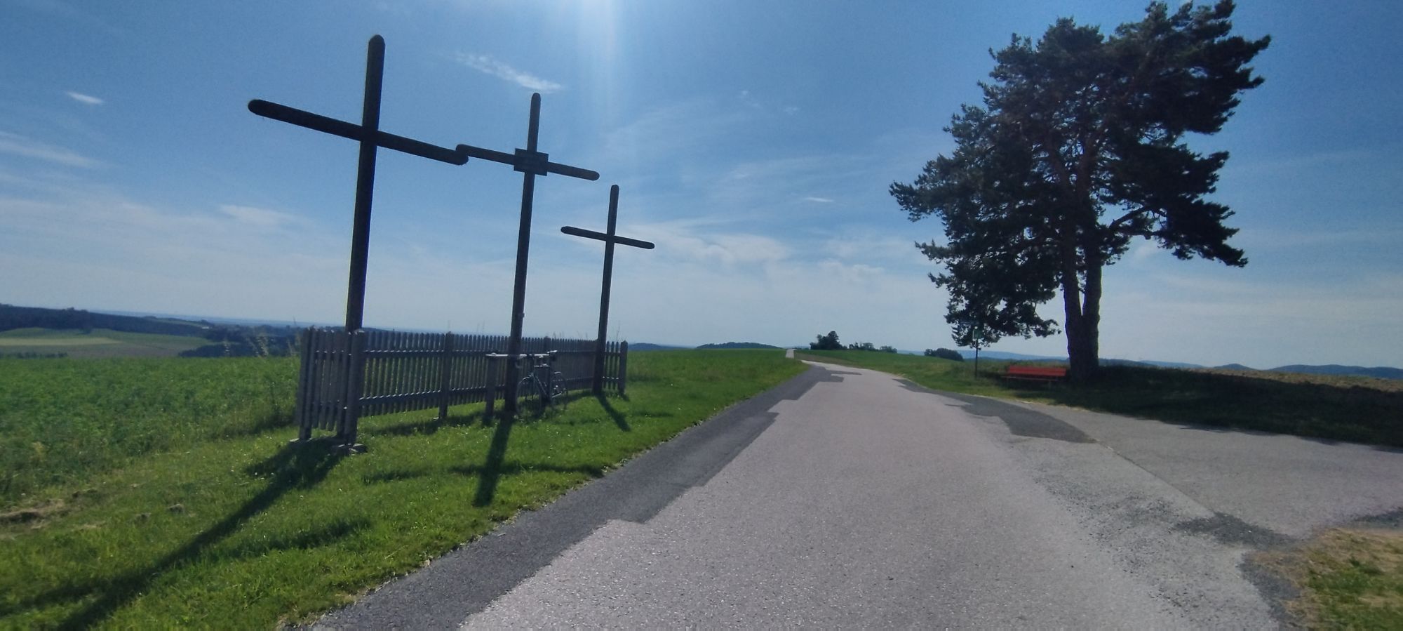
The route starts in the Passion Play town Kirchschlag and leads to the Kirchschlag castle ruin, which offers a beautiful view of the surroundings. It continues to the viewing platform at Hutwisch, the...
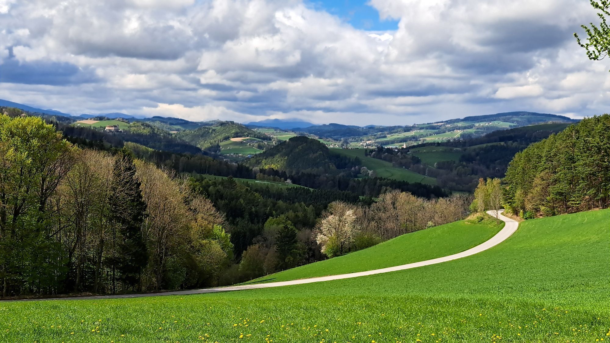
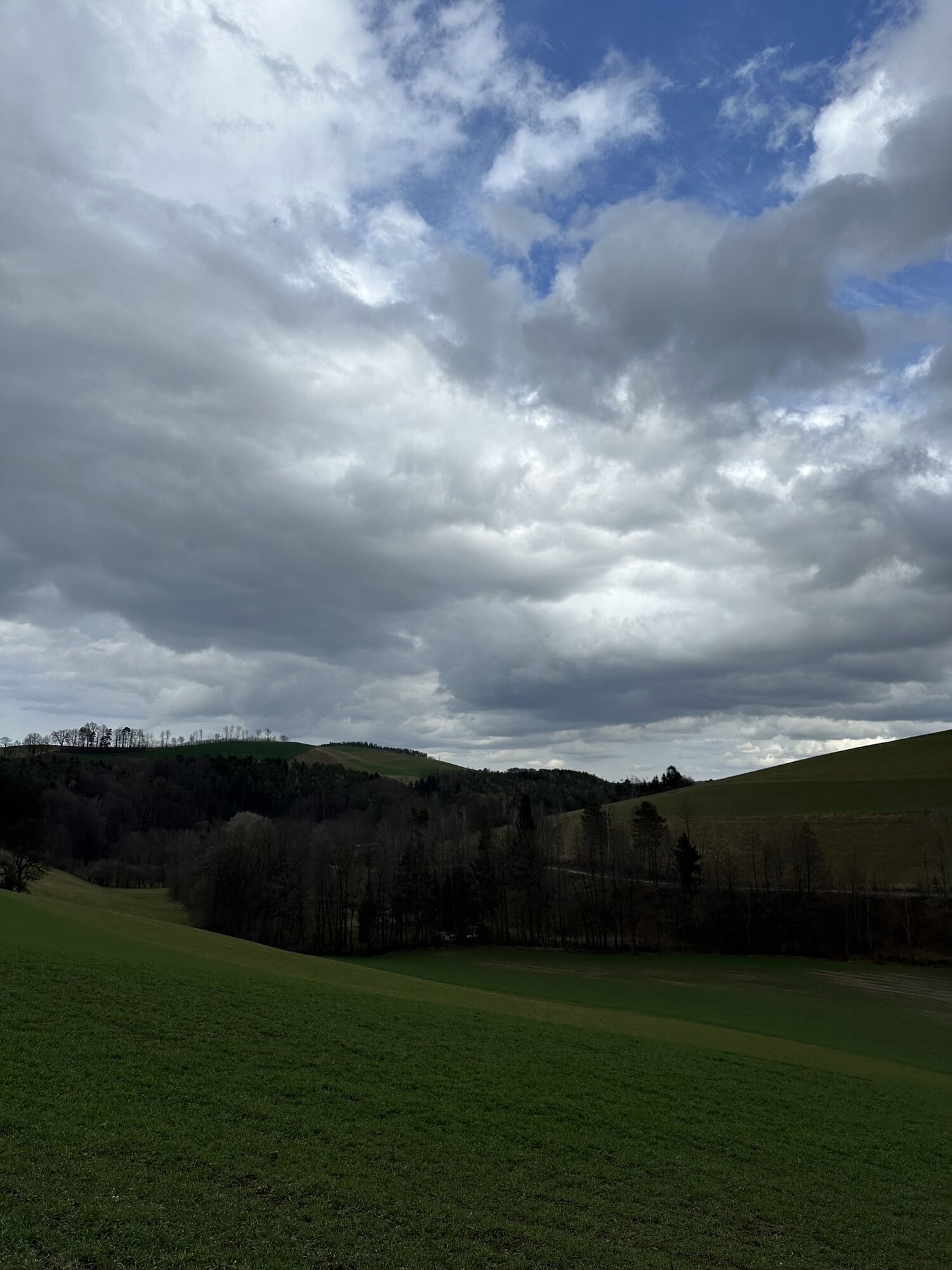
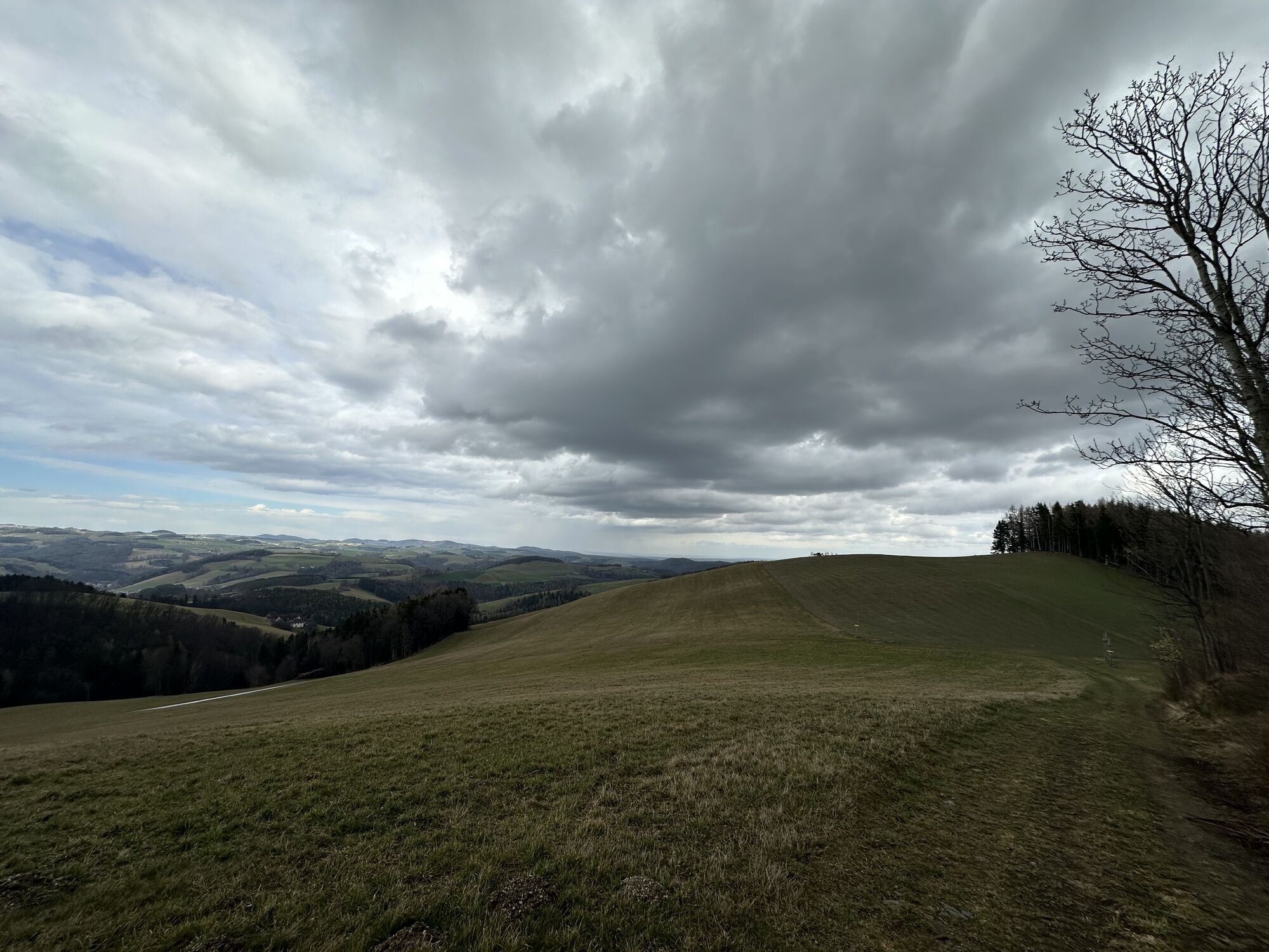
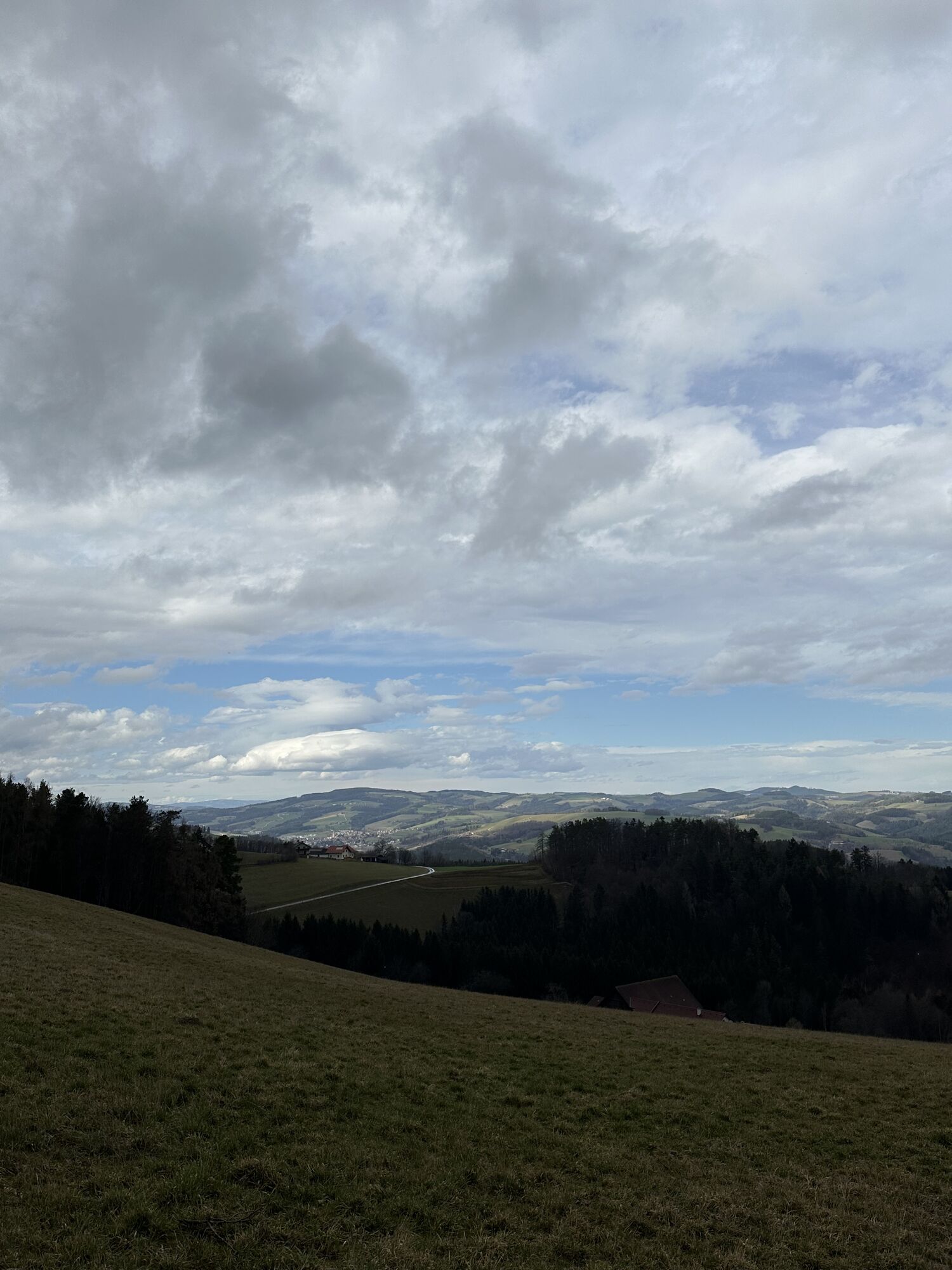
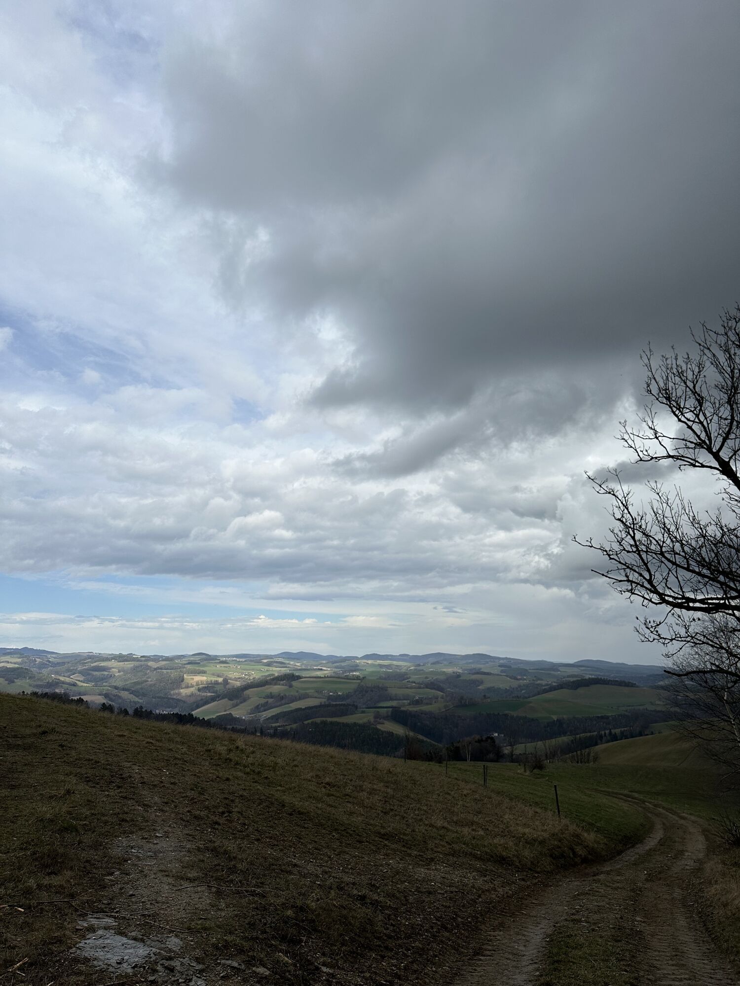
The route starts in the Passion Play town Kirchschlag and leads to the Kirchschlag castle ruin, which offers a beautiful view of the surroundings. It continues to the viewing platform at Hutwisch, the highest point of Bucklige Welt, with an impressive panorama over the 1000 hills of the region. The trail passes through forests and meadows to the spa town Bad Schönau, known for its healing springs and health offerings.
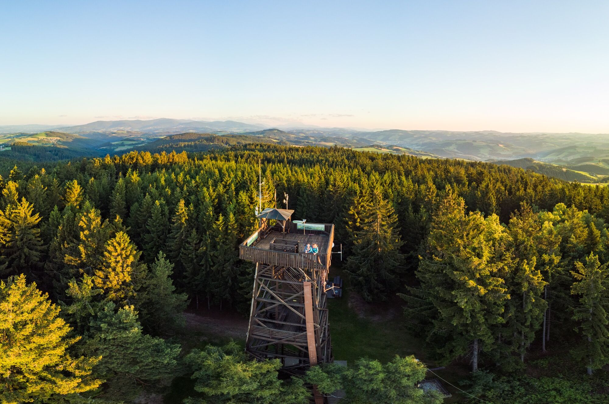

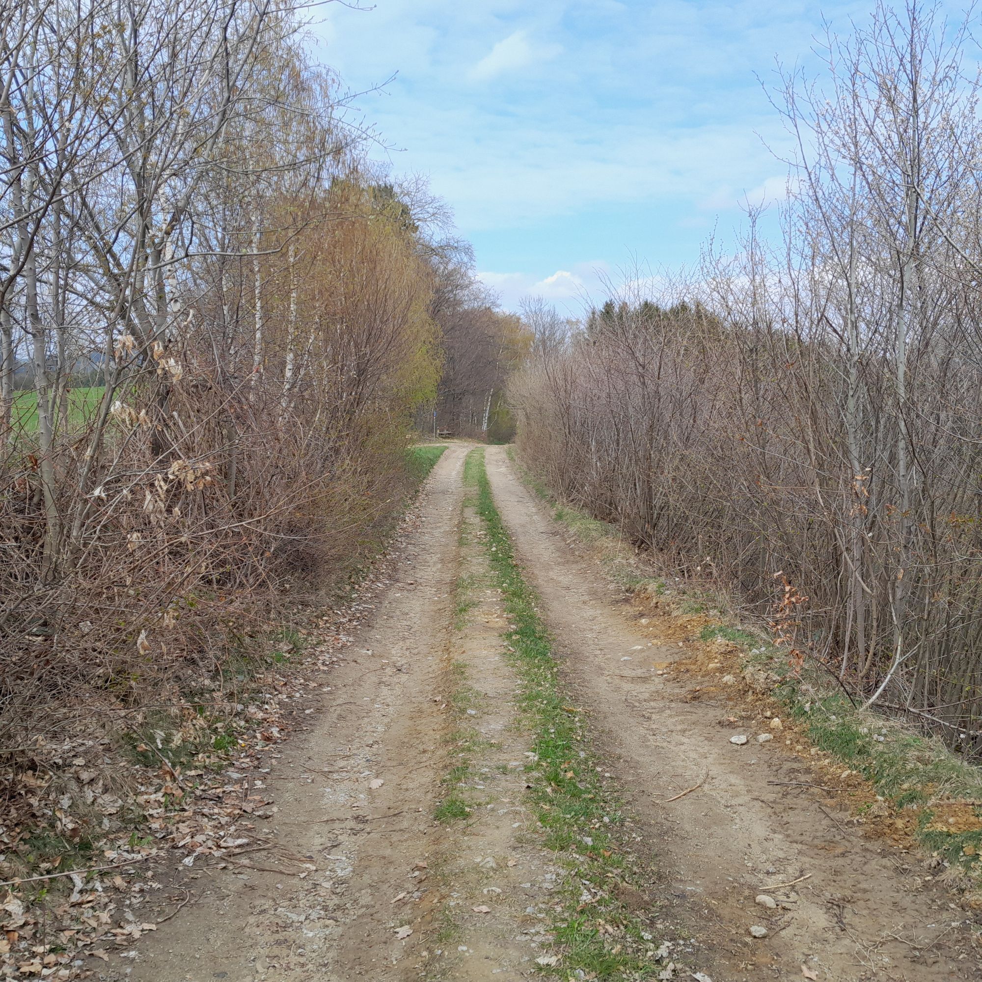
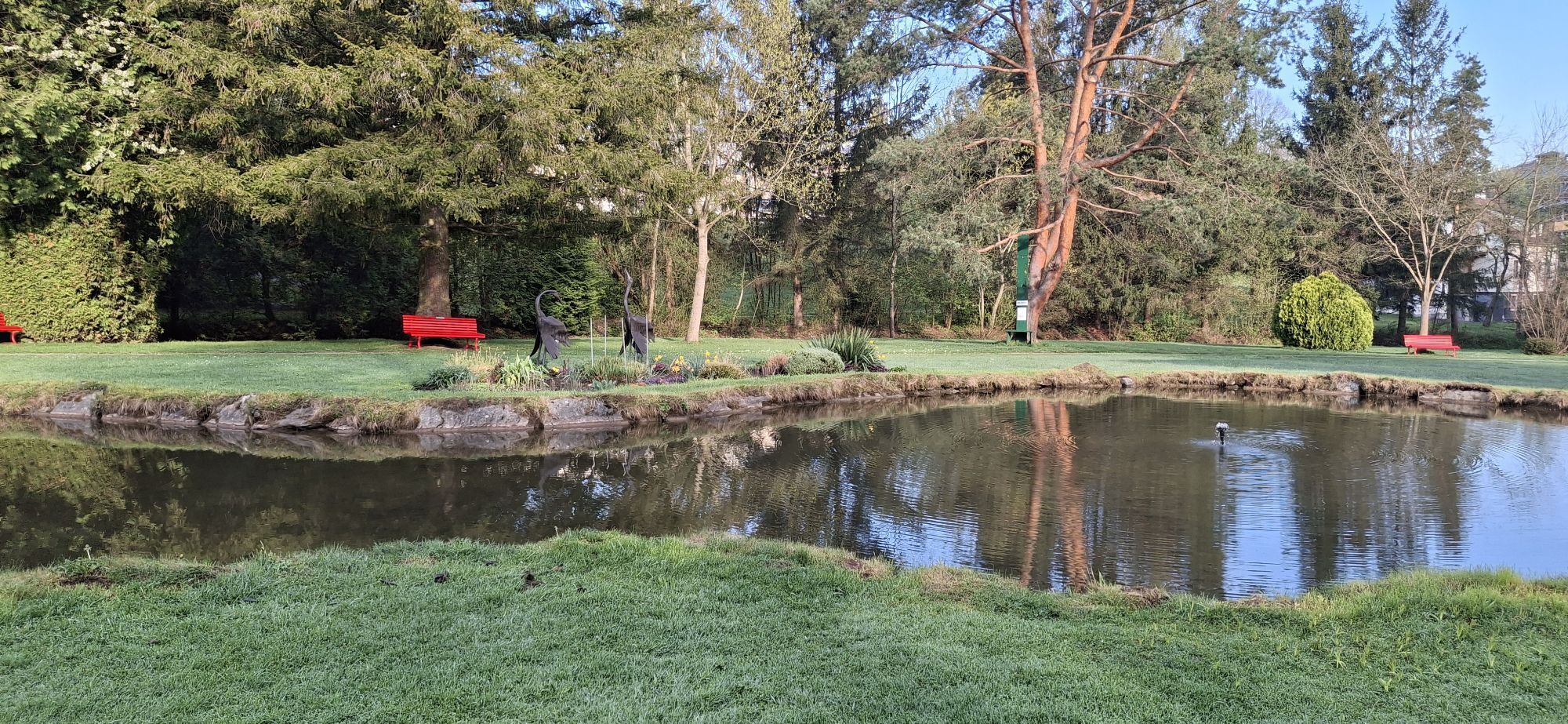
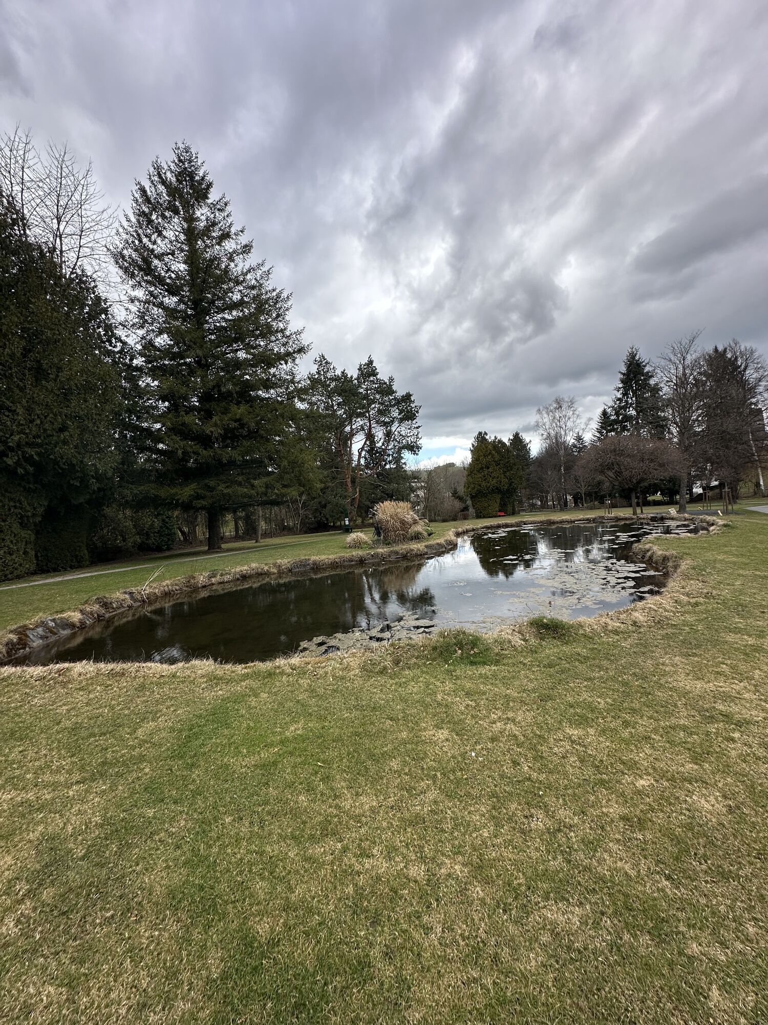
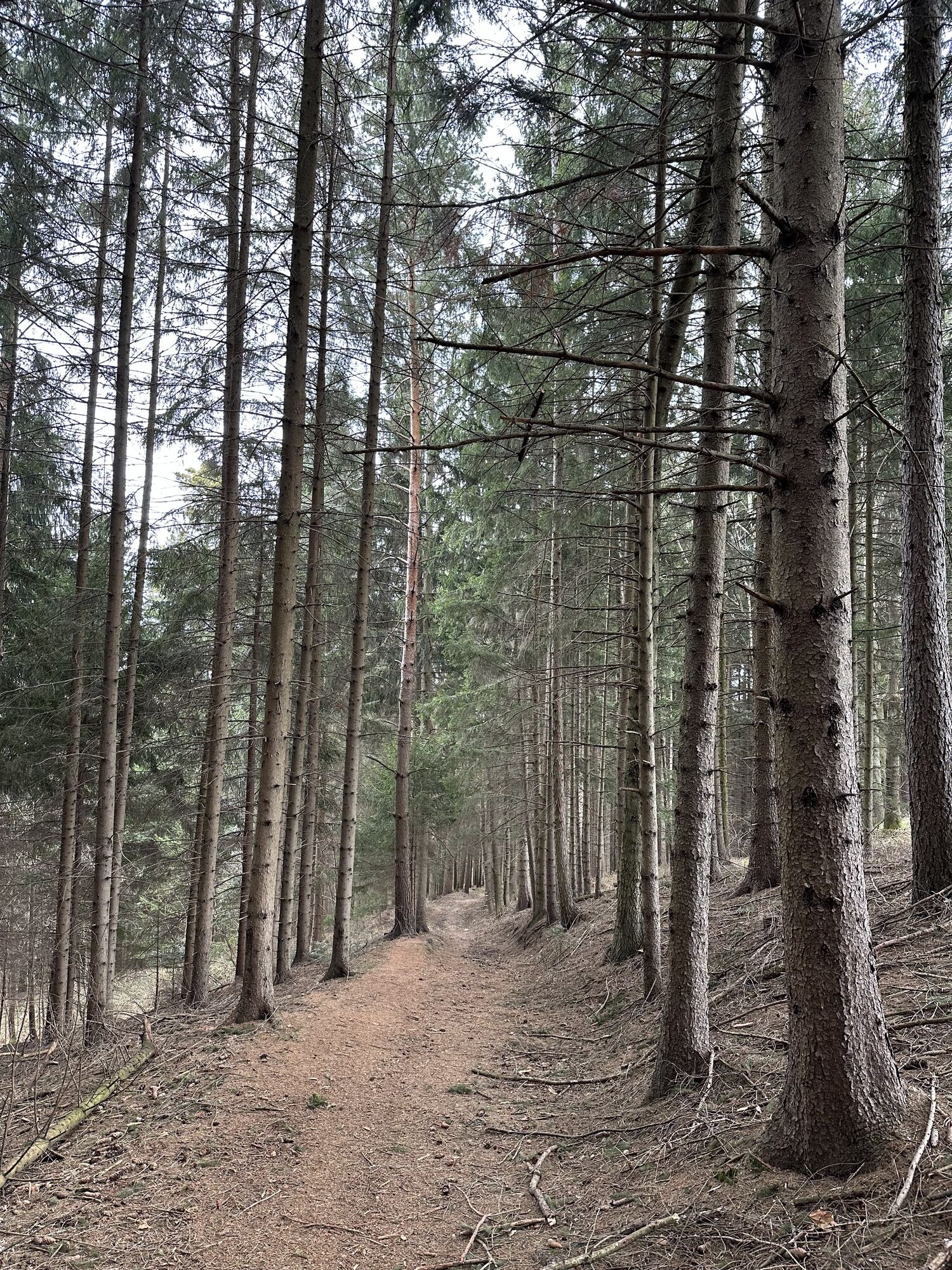
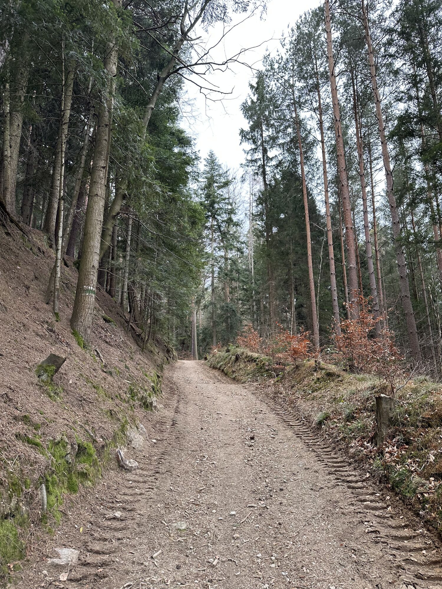
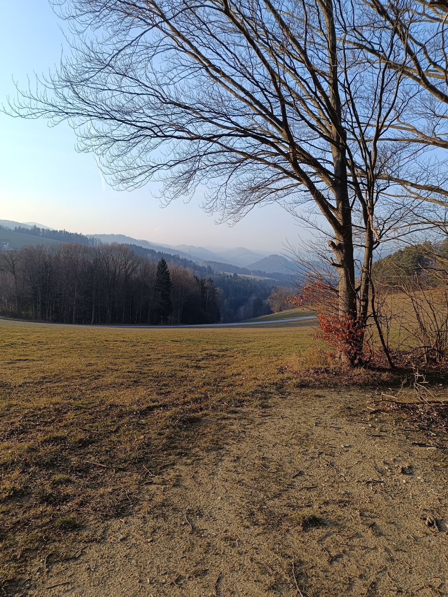
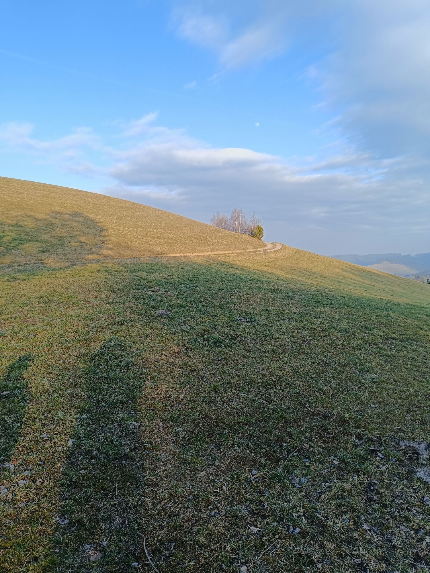
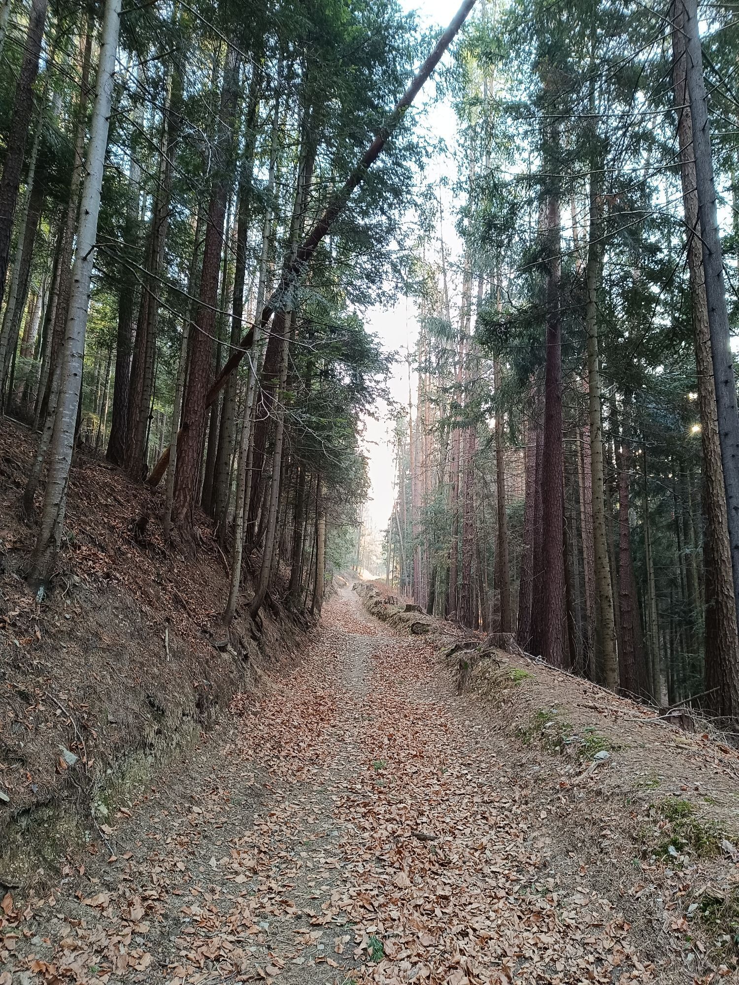
The route starts at the parking lot of Hotel Post - Hönigwirt. The sign "Weg am Wiener Alpenbogen" leads to the Kirchschlag castle ruin and onto Niklasberg. Here you get the first wonderful views of the Buckln. From the Grandits guesthouse, the trail marking E2 first climbs quite steeply to the height of the Maierhöfen hamlet. The village Maierhöfen is crossed, passing farms to the chapel, before which the path turns left and then immediately right onto the ridge trail. This trail is followed straight on to the Ortbauer. On the paved road, go about 150 meters to the left, then turn right onto the path. Through the Wolfsbühel forest, the path follows the yellow-marked E2 trail, moderately ascending until crossing a road. The route continues on the yellow-marked trail. It turns left towards Harmannsdorf and then further left on the path to the Hutwisch viewing platform. The return route goes back from Hutwisch to the trail junction from which the path came. The way is signposted towards Bad Schönau. Through the beautiful spa park, the path then leads into the town.
Da
Always take suitable hiking maps with you. Wear sturdy shoes appropriate for the route, bring sun and rain protection as well as water and some food. Take your mobile phone with you and save the emergency numbers: ambulance 144 / mountain rescue 140
Your hikes in the Vienna Alps should be a thoroughly pleasant and safe experience. Please observe the following:
Preparation
Make sure when choosing the route that it suits your experience and fitness. Check the weather forecast in advance. The weather in the mountains can change suddenly. Therefore, always set out properly equipped (e.g., rain protection). Check if the huts and snack stations you want to visit are open. Inform someone about your chosen route and planned return before you start.
Find more safety tips for your hike here.
From Vienna: take the South Motorway A2, exit at Krumbach. Continue on Krumbach junction. Continue on Kirchschlager Str./B55 to Kirchschlag.
From Graz: take the South Motorway A2, exit at Aspang-Zöbern. Turn right onto L137. Continue on Kampichl and Hauptstraße. Hauptstraße turns left in Zöbern and becomes Austraße. Follow L137 to Unterhaus near Krumbach and turn right to Kirchschlag.
To Edlitz-Grimmenstein station, then continue by regional bus to Kirchschlag in the Bucklige Welt. Bad Schönau is also easily accessible by bus.
More information can be found at www.oebb.at and www.vor.at
Adequate free parking spaces are available in the town area of Kirchschlag in the Bucklige Welt
T3
Vienna Alps in Lower Austria, www.wieneralpen.at, +43 2622 78960
Opening hours: Mon - Thu 8:30 a.m. - 4:00 p.m. / Fri 8:30 a.m. - 1:00 p.m.
Places to eat:
Hotel Post / Hönigwirt, Kirchschlag
Gasthaus Kogelbauer, Kirchschlag
s'Hutwisch, Hochneukirchen
Café Konditorei Beiglböck, Hochneukirchen
Gasthaus Geier, Bad Schönau
VitalZeit Hotel Weber, Bad Schönau
Restaurant "Bucklige Welt" in the Gesundheitsresort Königsberg
Vivea 4* Hotel Bad Schönau zur Quelle
Vivea 4* Hotel Bad Schönau zum Lansknecht
Excursion:
The Kirchschlag castle ruin and the Hutwisch viewing platform are ideal for a longer break and exploration.
Rose garden and fortified church Kirchschlag
City museum Kirchschlag
Fortified church Bad Schönau, one of the oldest fortified churches
Sconarium Bad Schönau with exhibition about the natural healing agent carbonic acid gas
Kurpark Bad Schönau
Pridobite vpogled
Vedno v živo na mestu z več kot 9.500 spletnimi kamerami. bergfex Kot uporabnik Pro si lahko zdaj ogledate ustrezne spletne kamere za številne izlete v aplikaciji izleti iz. Tako si lahko neposredno ogledate trenutne razmere.

Priljubljeni izleti v okolici
-
4.2
"Weg der Blicke"
svetlobaPohodništvo 5.86 km -
4.4
Bad Schönau - Hutwisch
svetlobaPohodništvo 9.99 km -
4.4
B53 Edelserpentin
srednjaKolesarjenje 23.5 km -
4.4
BAD-SCHÖNAU Hutwisch und wieder zurück 20220611
srednjaPohodništvo 10.8 km -
4.8
Bakabu children's adventure trail to Hutwisch
srednjaTematska pot 5.42 km -
4.7
S24 Neustiftrunde
Pohodništvo 9.22 km -
4.8
B41 Zöberntal-Rabnitztal cycle trail
srednjaKolesarjenje 40.7 km -
3.0
R1 anniversary cycle path
težkoKolesarjenje na dolge razdalje 272.3 km -
3.7
Willersdorf - Willersdorfer Schlucht - Kreuzberg - Aschau im Burgenland
srednjaPohodništvo 9.41 km -
5.0
Bad Tatzmannsdorf - Bergwerk
svetlobaPohodništvo 12.8 km
Pohodništvo in sledenje


Ne zamudite ponudb in navdiha za naslednje počitnice
Vaš e-poštni naslov je bil dodan na poštni seznam.





