







Höhenroute
If you take the high-altitude route, you will almost reach the highest point in the Bucklige Welt. The Hutwisch with its lookout point at 896 meters above sea level is only a few meters away from the route....
If you take the high-altitude route, you will almost reach the highest point in the Bucklige Welt. The Hutwisch with its lookout point at 896 meters above sea level is only a few meters away from the route. But there are also great views from the road to Hochneukirchen all the way to Hungary. The route leads downhill into the neighboring province of Burgenland for a while, before climbing steeply back to the starting point. At Grametschlag, you can take a breather with archery and disc golf in the countryside.

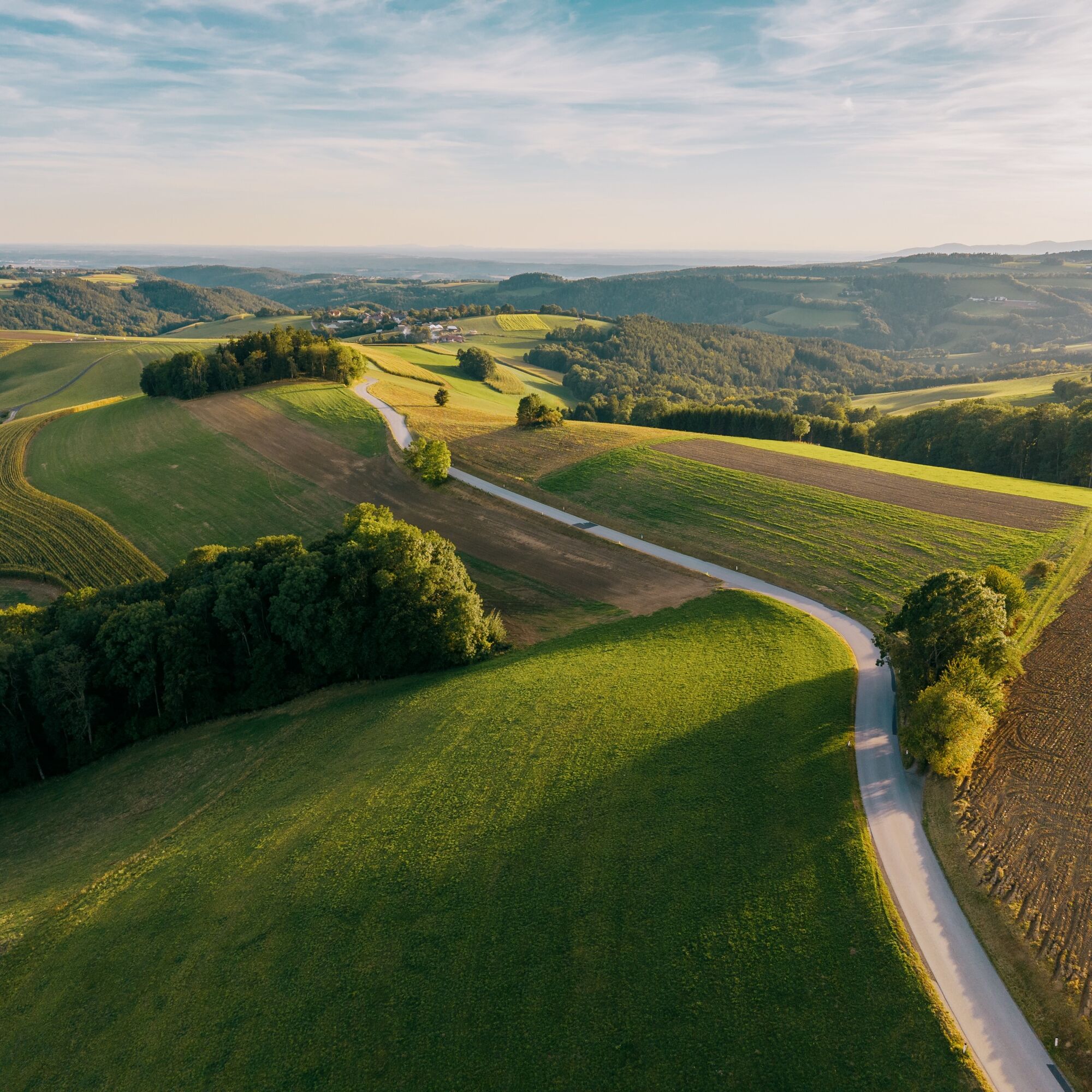

From the starting point, head west toward Harmannsdorf. Here, the road passes just by Hutwisch, where you’ll be treated to magnificent views. Continue toward Burgenland to Dreihütten, then head downhill to Tauchen. This is the southernmost point of the tour. In Tauchen, keep right and turn right again at the next T-intersection toward Aschau. Then turn left toward Schmiedrait. Shortly after that, the route leads back into Lower Austria. Now the trail climbs steeply uphill to Hattmannsdorf. There, turn right to head back toward Hochneukirchen.
If you still have time and energy, you can take a short detour before Hattmannsdorf to try archery and disc golf at “da Pampa” near Grametschlag. There, you can take a break with drinks and light snacks.
Tip: The tour can also be started from Bad Schönau. To do this, the connecting trail first follows the main road, past the fortified church and steeply uphill. The route continues via Groß-Buchegg to Almen. The final stretch of the connecting trail follows the main road to the s’Hutwisch inn in the center of Hochneukirchen.
Wear a helmet, appropriate clothing, and sturdy shoes. Remember to bring rain gear and sunscreen. Be sure to bring plenty to drink and your cell phone.
The route follows the road, so be mindful of traffic at all times and use hand signals when turning. When choosing a route, make sure it is appropriate for your experience and fitness level. Check the weather forecast and find out about places to stop for refreshments in advance.
From Vienna: Take the A2 highway, exit at Krumbach, drive through the town of Krumbach, then follow the signs toward Hochneukirchen—to do this, turn right once at Sägemühle
From Graz: Take the A2 highway, exit at Zöbern; in Zöbern, turn left after the church toward Krumbach; after entering Krumbach, keep right and continue on the federal highway. Immediately after that, turn right toward Hochneukirchen.
Public parking spaces are available within the municipal area
Person responsible for the content of this tour
Vienna Alps in Lower Austria - Bad Schönau
Last updated: 21.10.2025
Pridobite vpogled
Vedno v živo na mestu z več kot 9.500 spletnimi kamerami. bergfex Kot uporabnik Pro si lahko zdaj ogledate ustrezne spletne kamere za številne izlete v aplikaciji izleti iz. Tako si lahko neposredno ogledate trenutne razmere.

Priljubljeni izleti v okolici
-
4.6
S21 Peace Circular Route
svetlobaPohodništvo 11.4 km -
4.5
Bad Schönau - Hutwisch
svetlobaPohodništvo 9.99 km -
4.2
"Weg der Blicke"
svetlobaPohodništvo 5.86 km -
4.4
B53 Edelserpentin
srednjaKolesarjenje 23.5 km -
4.4
BAD-SCHÖNAU Hutwisch und wieder zurück 20220611
srednjaPohodništvo 10.8 km -
4.8
Bakabu children's adventure trail to Hutwisch
srednjaTematska pot 5.42 km -
4.7
S24 Neustiftrunde
Pohodništvo 9.22 km -
4.8
B41 Zöberntal-Rabnitztal cycle trail
srednjaKolesarjenje 40.7 km -
5.0
Rundwanderweg, Rohrbach-Kroisegg-Kroisbach-Neustift-Lafnitz-Rohrbach
srednjaPohodništvo 12.1 km -
4.0
Bad Tatzmannsdorf - Sulzriegel - Jormannsdorf - Oberschützen - Bad Tatzmannsdorf
svetlobaPohodništvo 9.20 km

Pohodništvo in sledenje


Ne zamudite ponudb in navdiha za naslednje počitnice
Vaš e-poštni naslov je bil dodan na poštni seznam.





