


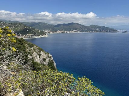
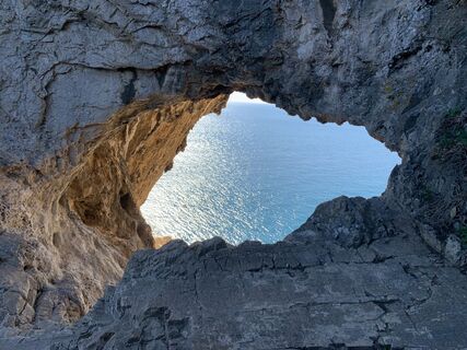
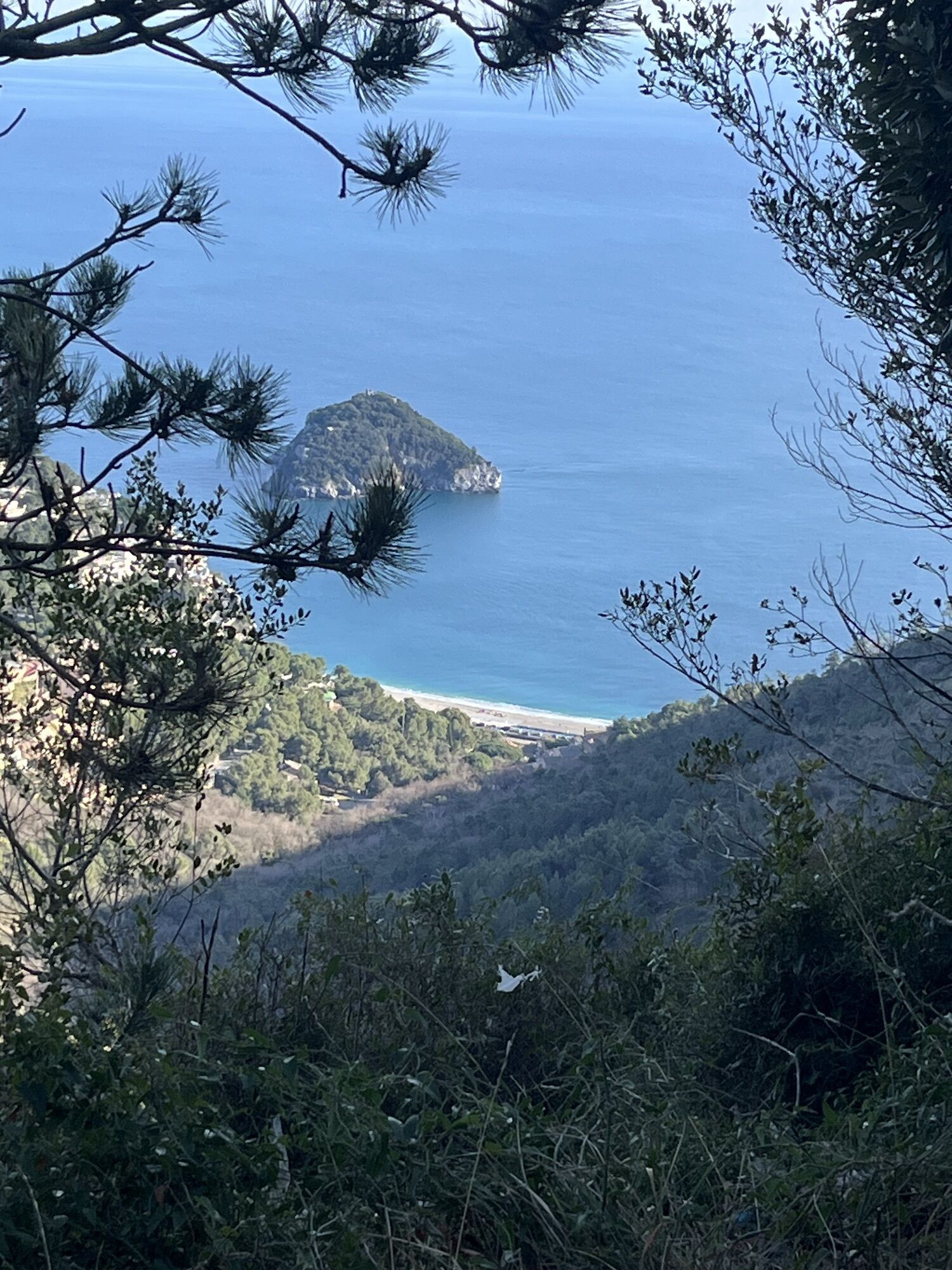
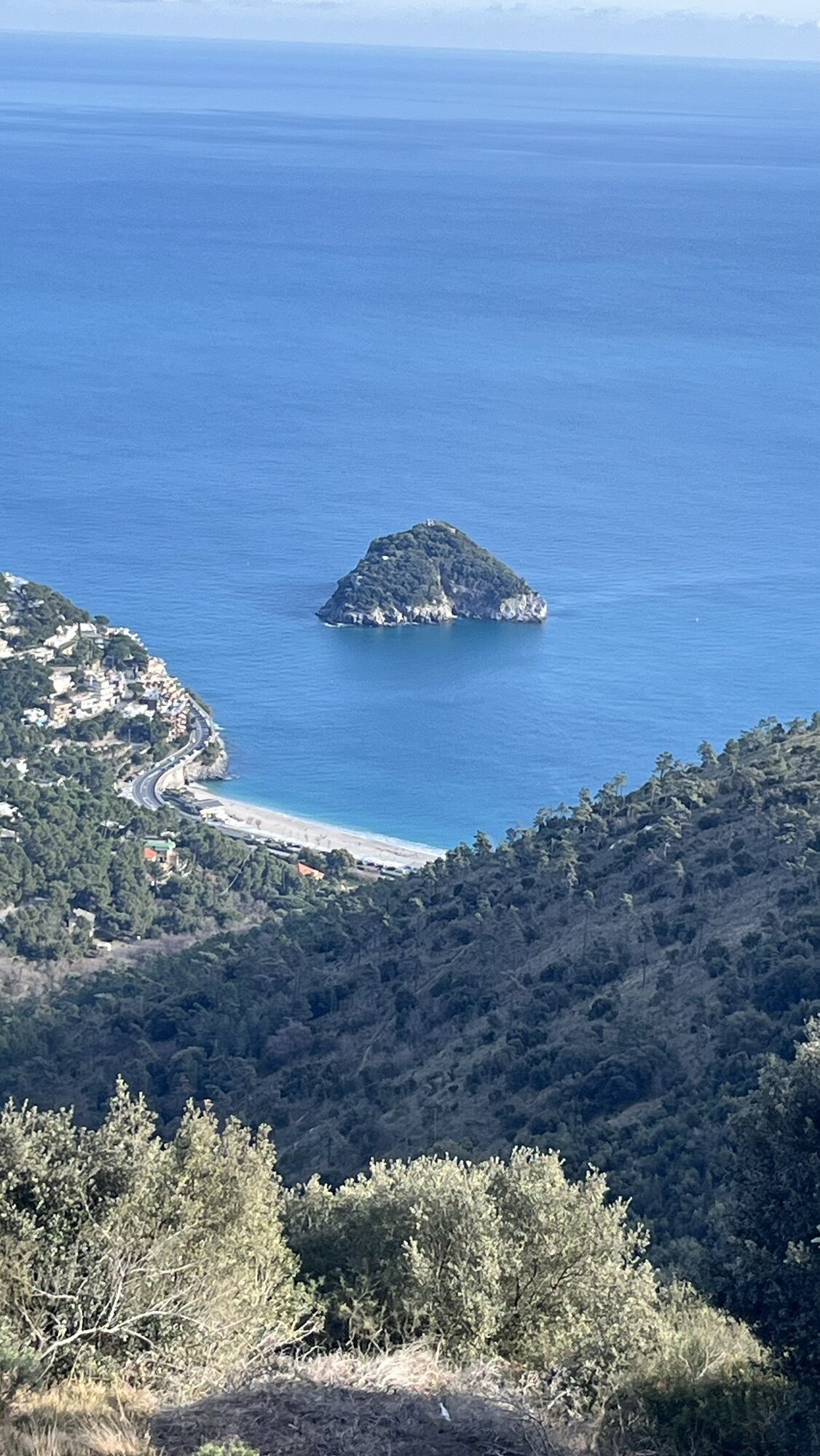
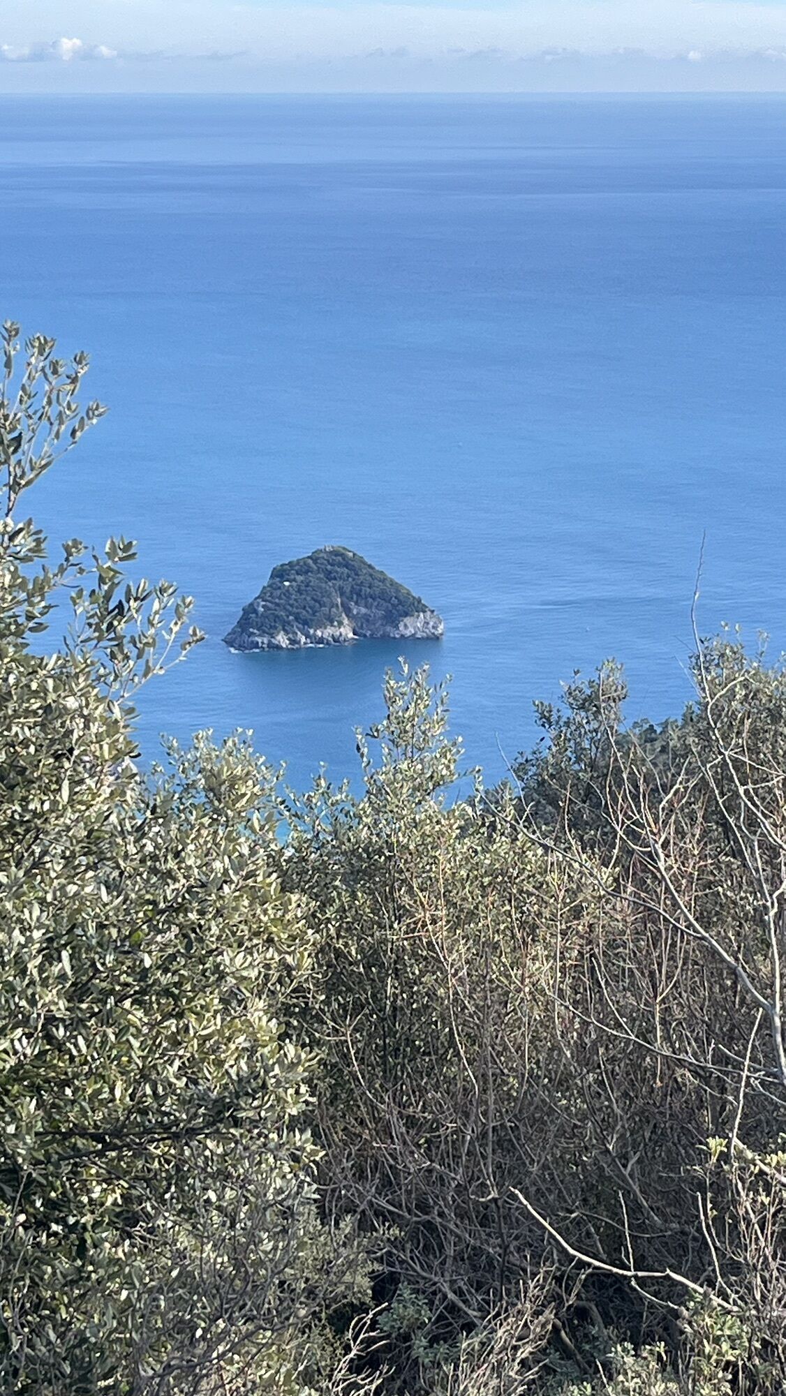
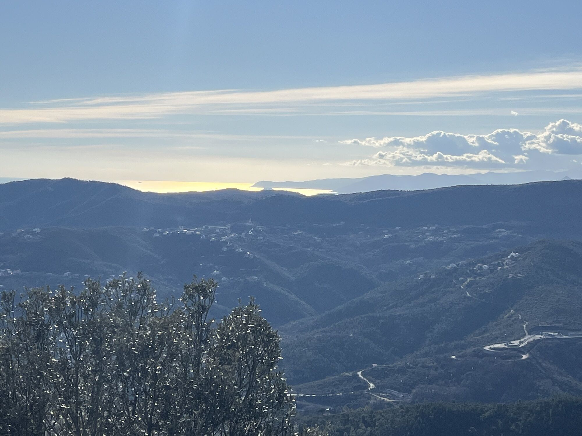
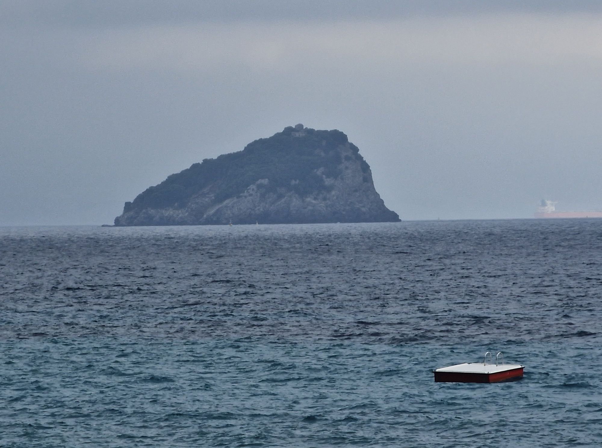
Rocche Bianche and Mount Mao
Fotografije naših uporabnikov
-
 © Aurelian BöhlerUstvarjeno na 03.04.2026
 -
 © Roberto BaccinoUstvarjeno na 05.03.2025
 -

 © Manfred LangzaunerUstvarjeno na 30.04.2023
 -
 © Manfred LangzaunerUstvarjeno na 30.04.2023
 -
 © “Jerry” BrunettiUstvarjeno na 24.04.2026
 -
 © “Jerry” BrunettiUstvarjeno na 24.04.2026
 -

 © Valentin EichenbergerUstvarjeno na 29.03.2026
 -
 © Lis MalzachUstvarjeno na 16.02.2026
 -
 © Lis MalzachUstvarjeno na 16.02.2026
 -

 © Giorgio BaricelliUstvarjeno na 01.02.2026
 -
 © Giorgio BaricelliUstvarjeno na 01.02.2026
 -
 © Giorgio BaricelliUstvarjeno na 01.02.2026
 -
 © Giorgio BaricelliUstvarjeno na 01.02.2026
 -
 © Giorgio BaricelliUstvarjeno na 01.02.2026
 -
 © Giorgio BaricelliUstvarjeno na 01.02.2026
 -
 © Giorgio BaricelliUstvarjeno na 01.02.2026
 -
 © Giorgio BaricelliUstvarjeno na 01.02.2026
 -
 © Giorgio BaricelliUstvarjeno na 01.02.2026
 -
 © Lara MusitelliUstvarjeno na 03.01.2026
 -
 © Lara MusitelliUstvarjeno na 03.01.2026
 -
 © Lara MusitelliUstvarjeno na 03.01.2026
 -
 © Lara MusitelliUstvarjeno na 03.01.2026
 -
 © Lara MusitelliUstvarjeno na 03.01.2026
 -

 © Mario AugustiniUstvarjeno na 07.06.2025
 -
 © Mario AugustiniUstvarjeno na 07.06.2025
 -
 © simone ravasiUstvarjeno na 01.04.2025
 -
 © simone ravasiUstvarjeno na 03.12.2024
 -
 © simone ravasiUstvarjeno na 03.12.2024
 -
 © simone ravasiUstvarjeno na 03.12.2024
 -
 © simone ravasiUstvarjeno na 03.12.2024
 -
 © Natale MaffiolettiUstvarjeno na 31.05.2023
 -
 © Natale MaffiolettiUstvarjeno na 31.05.2023
 -
 © Toni LerdaUstvarjeno na 27.02.2022
 -
 © Toni LerdaUstvarjeno na 27.02.2022


From Finale Ligure take the Provincial road in the direction of Manie and ride along it until you reach the top of the plateau. At the end of the climb, near a left hand bend in the road, pick up the downhill...
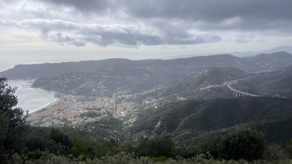
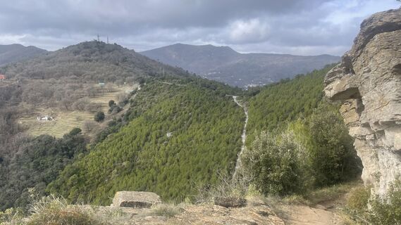
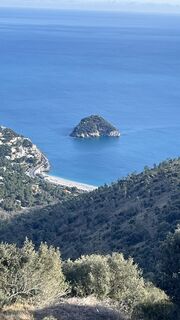
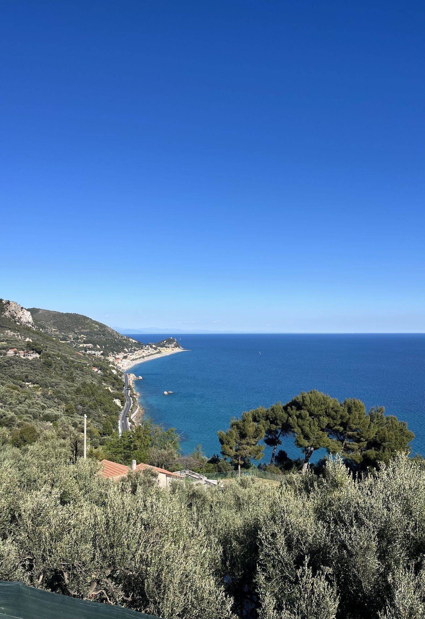
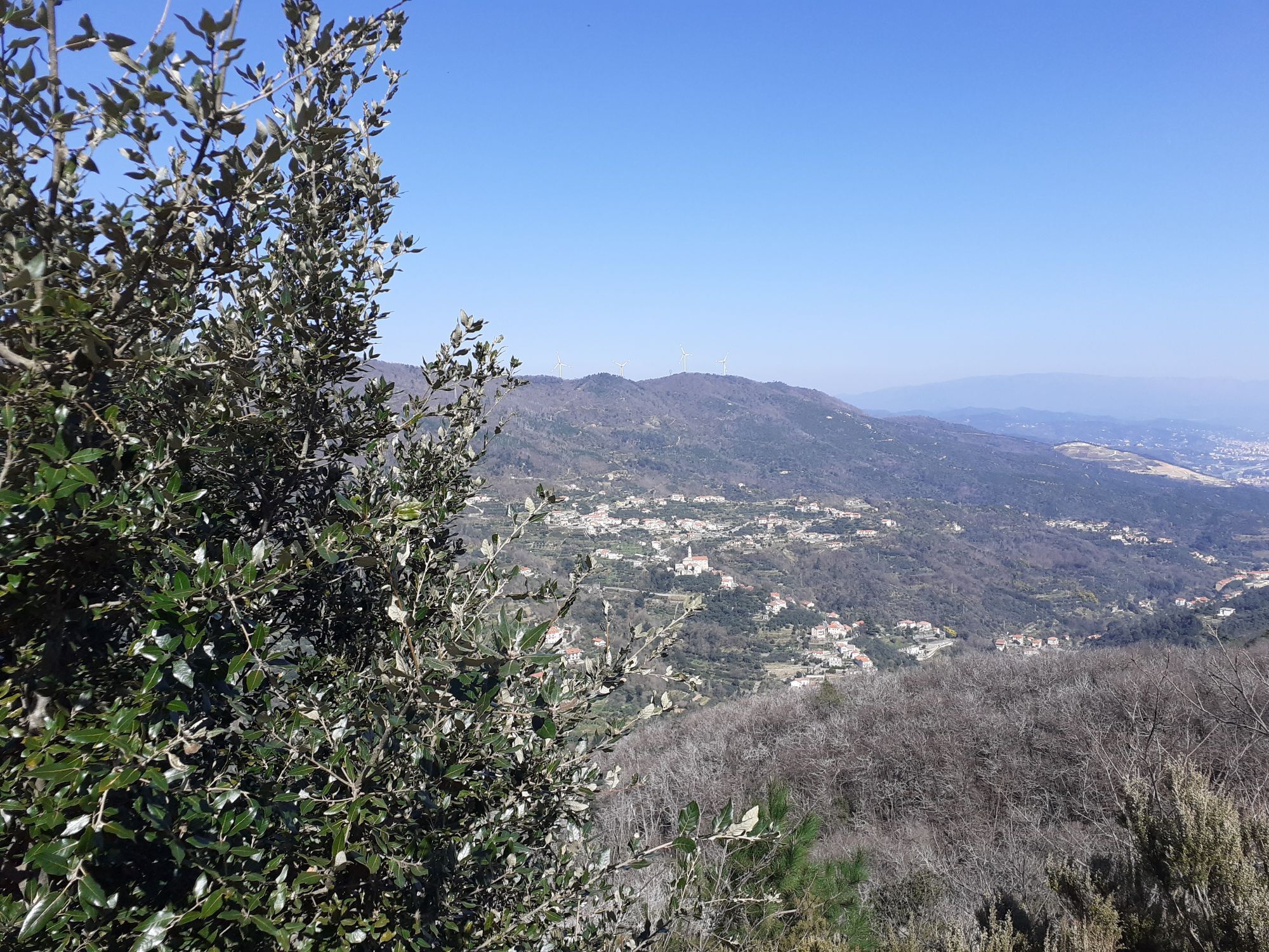
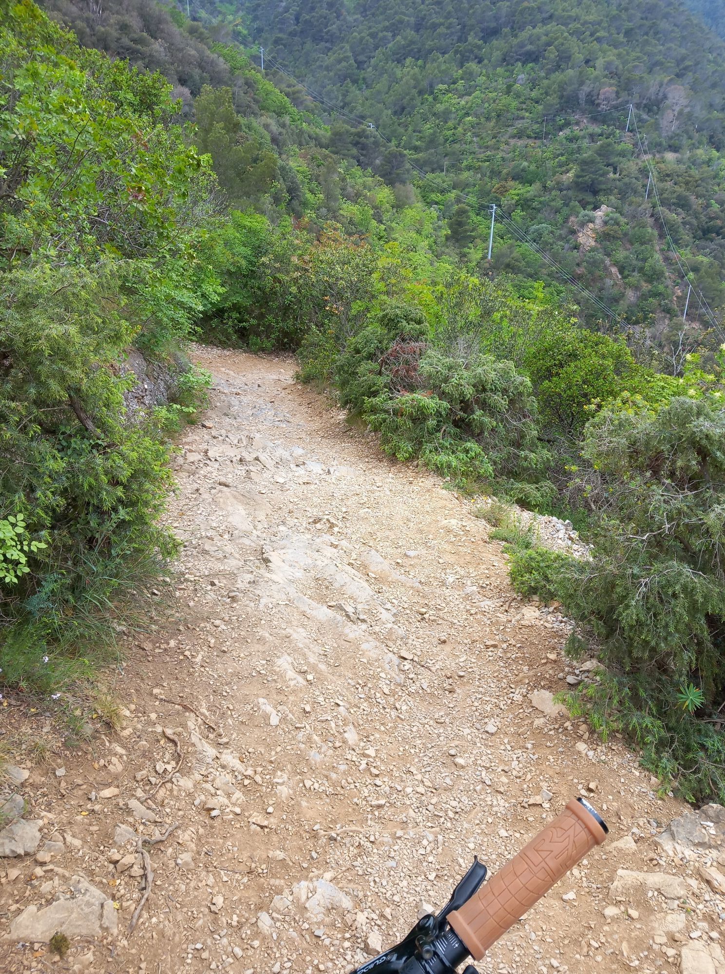
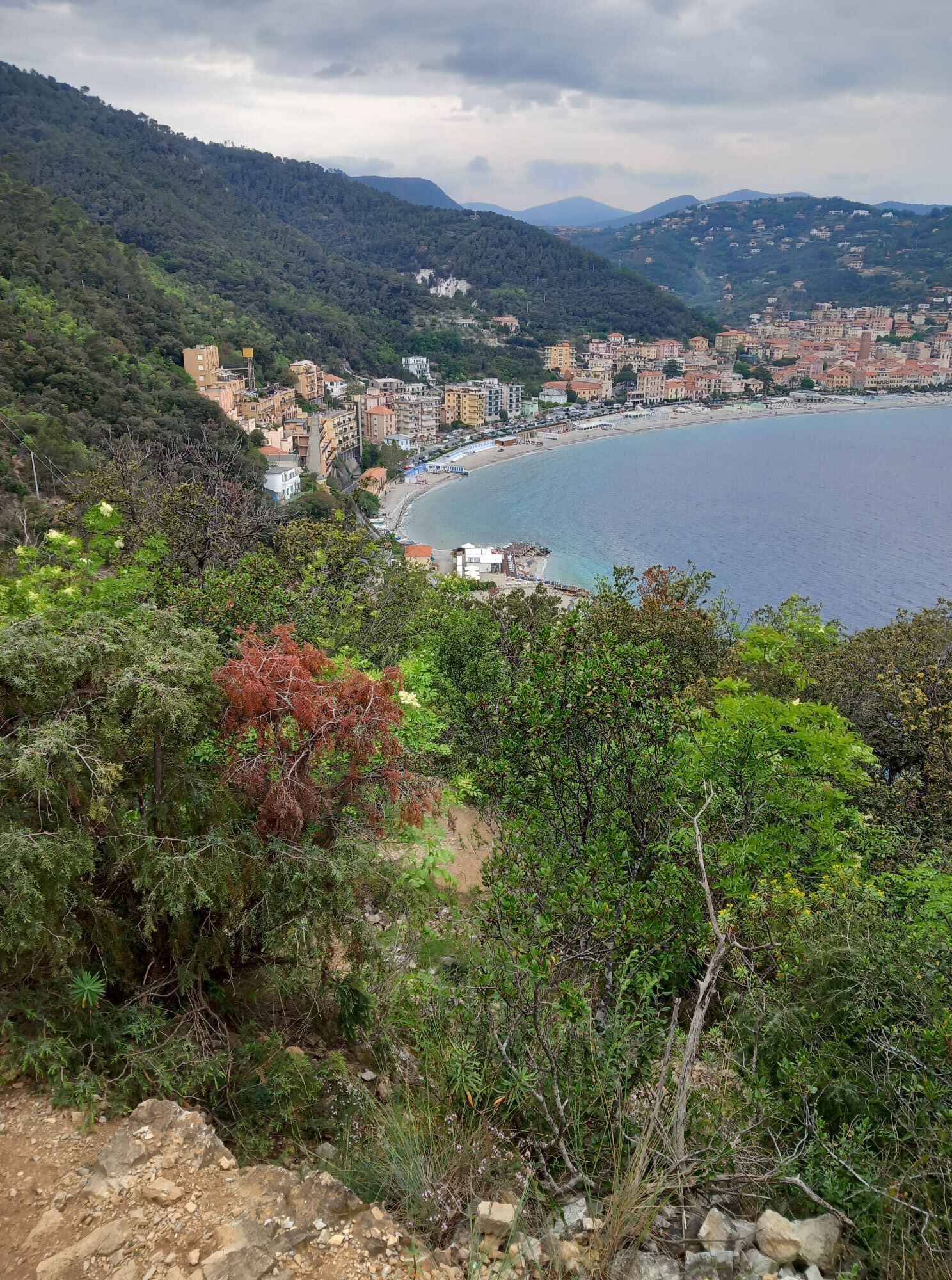
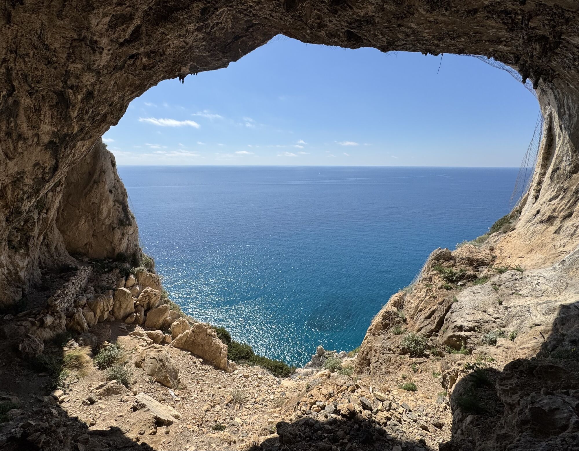
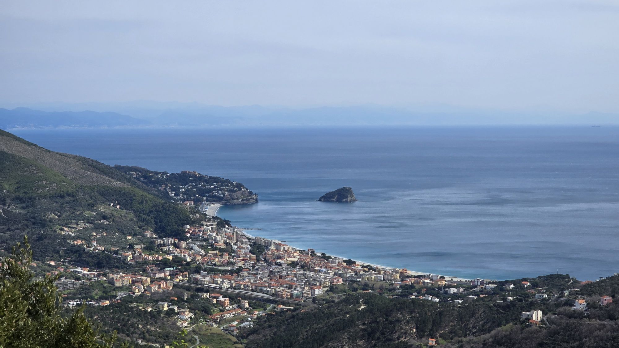
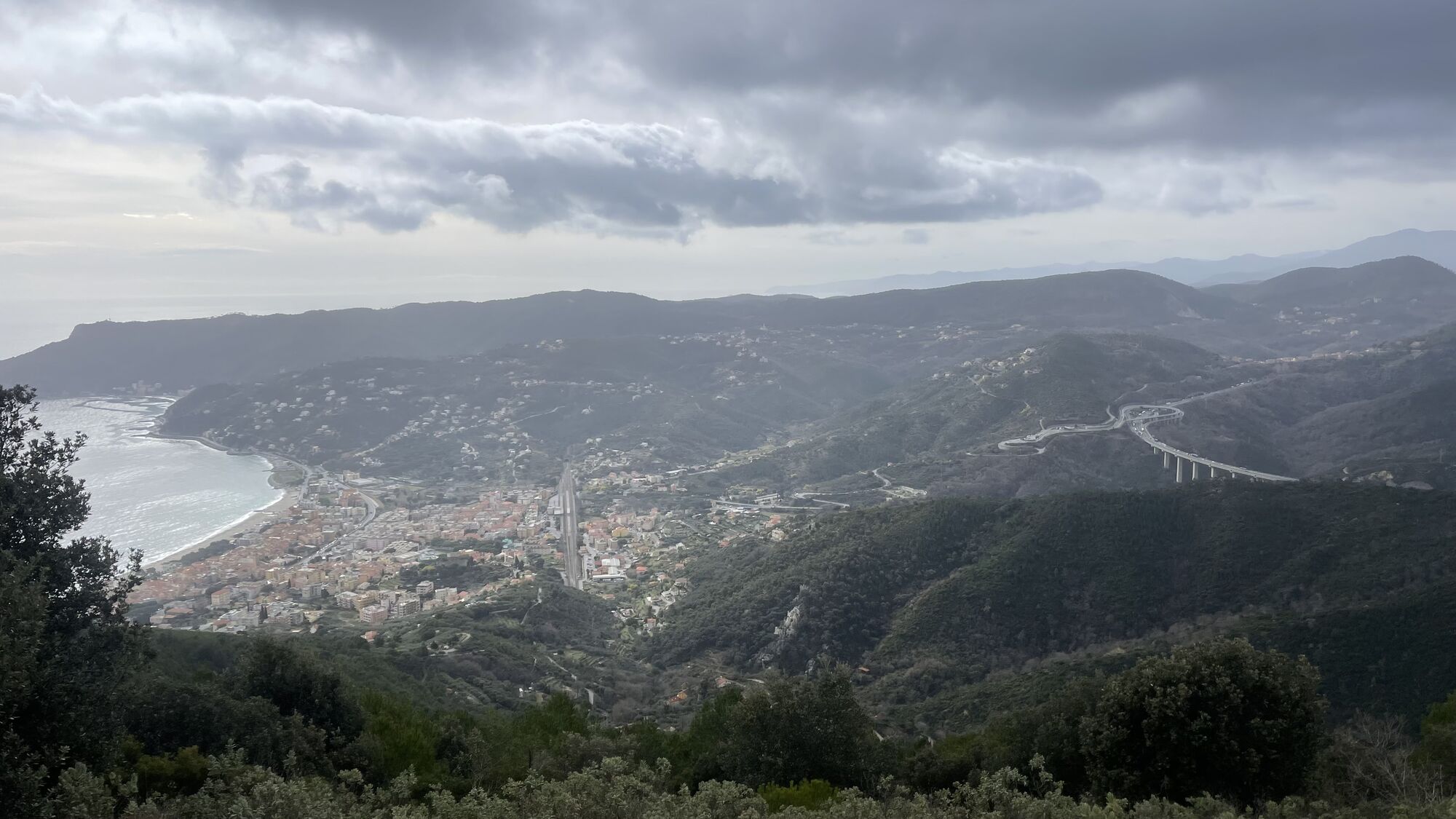
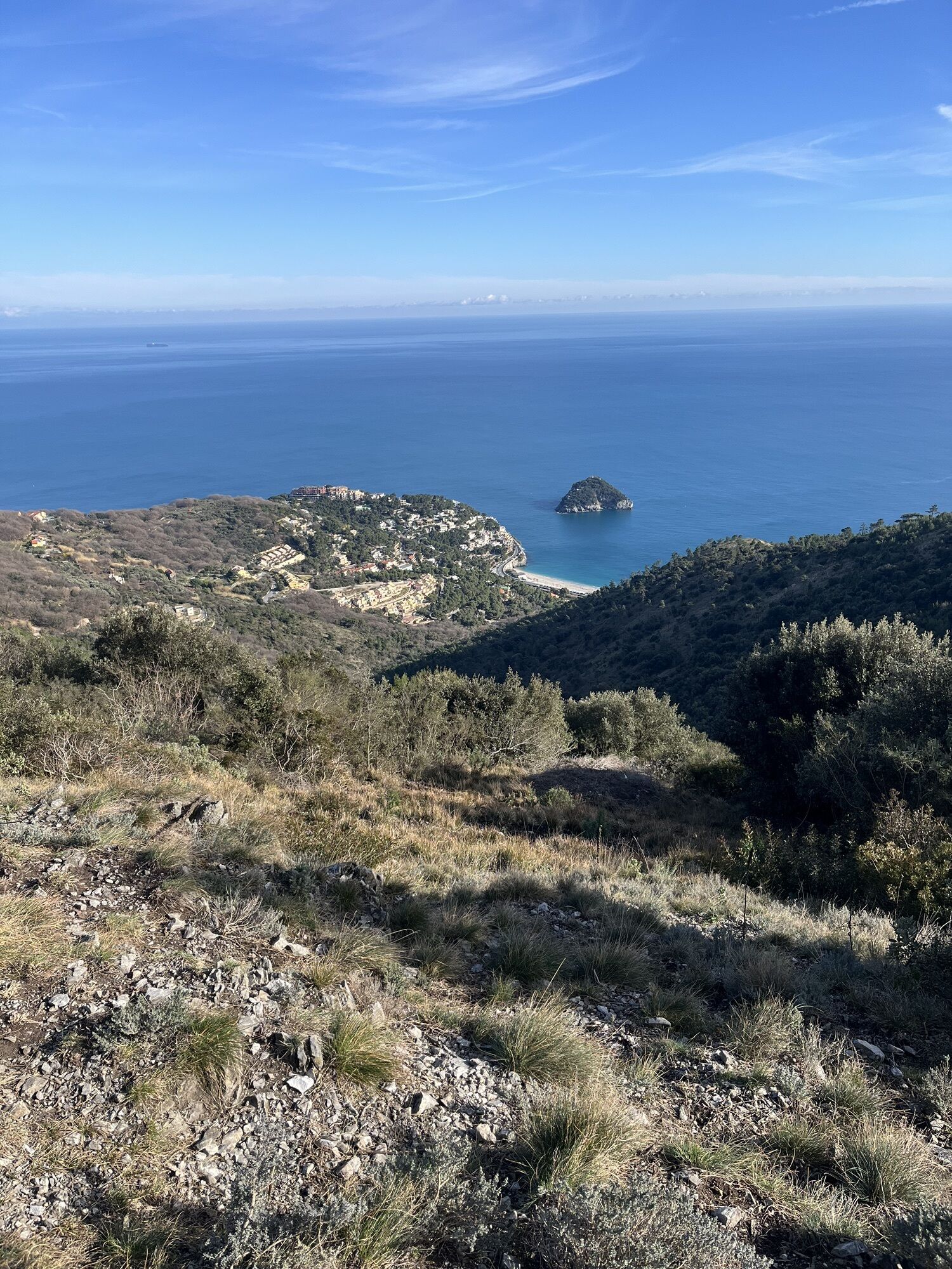
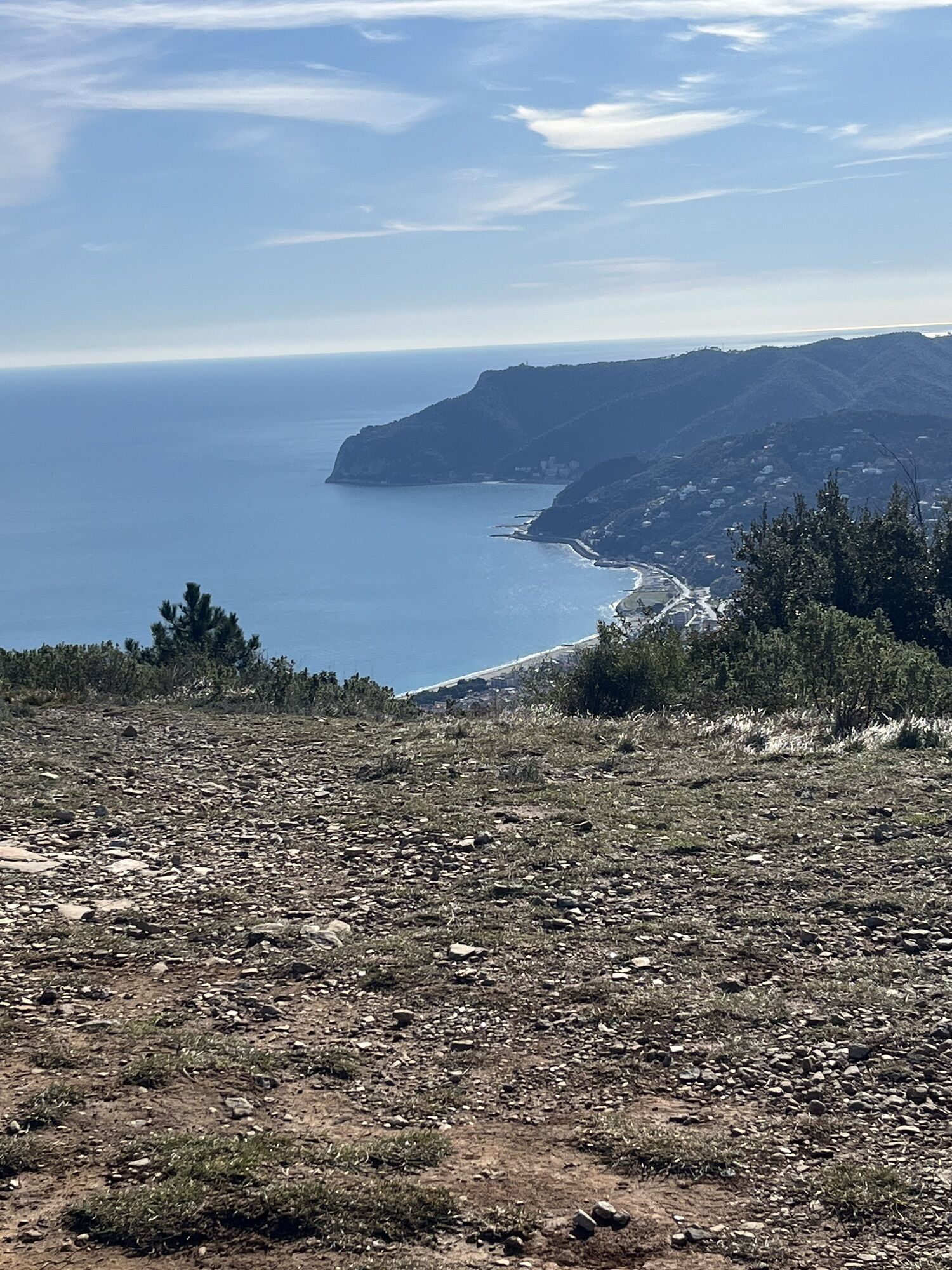
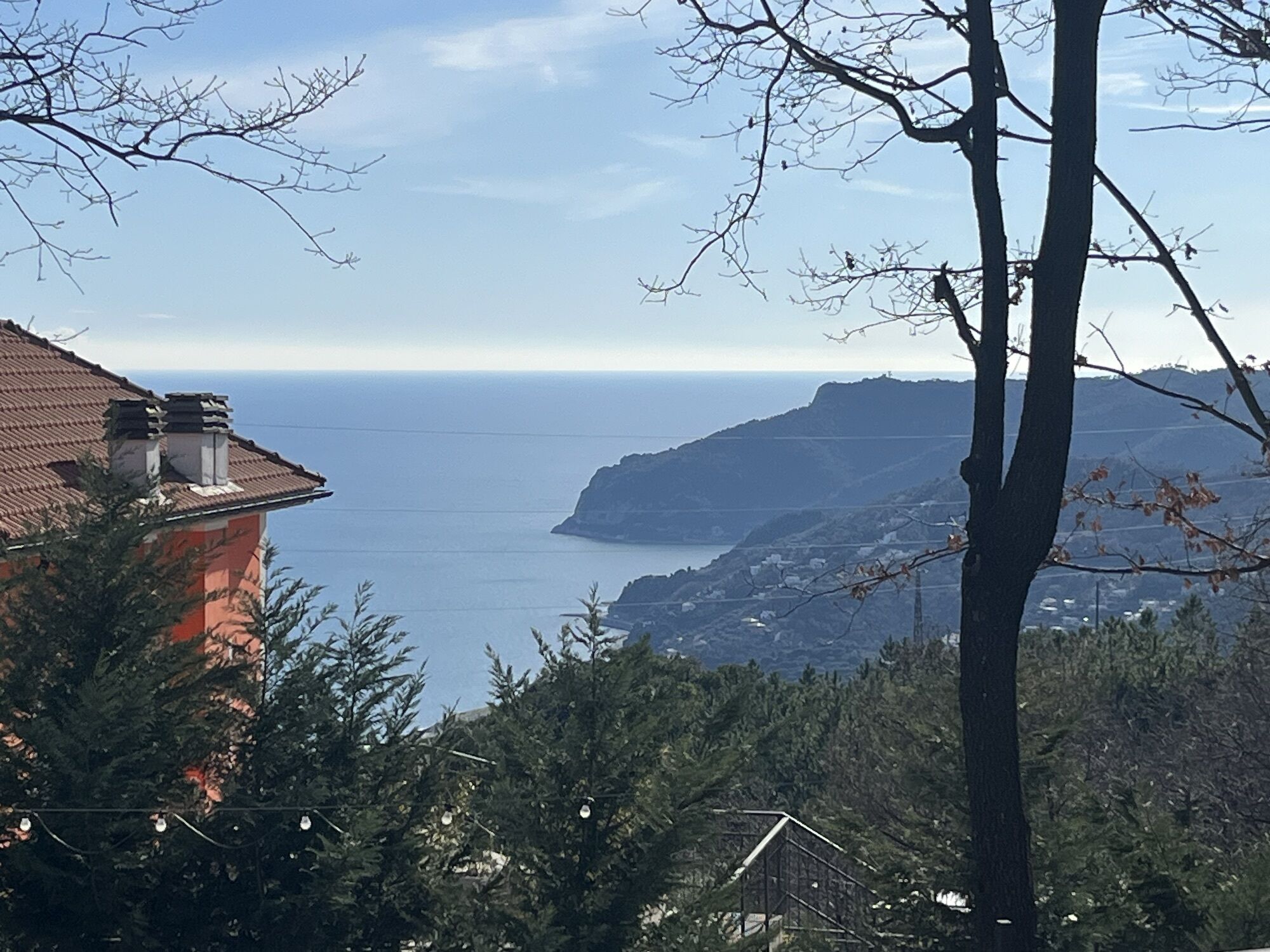
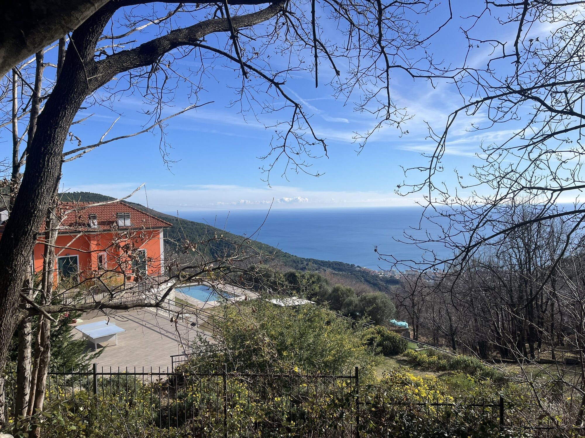
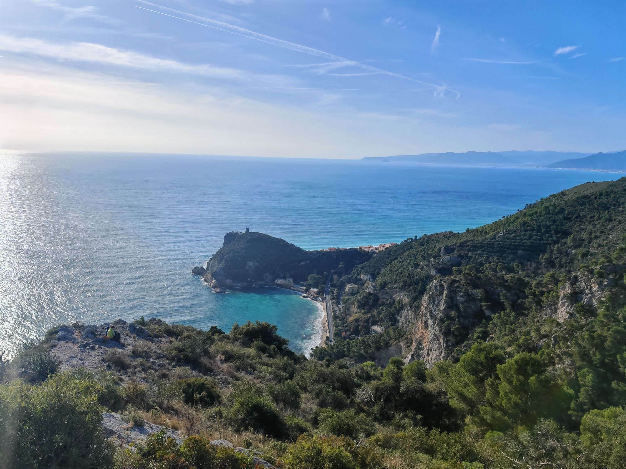
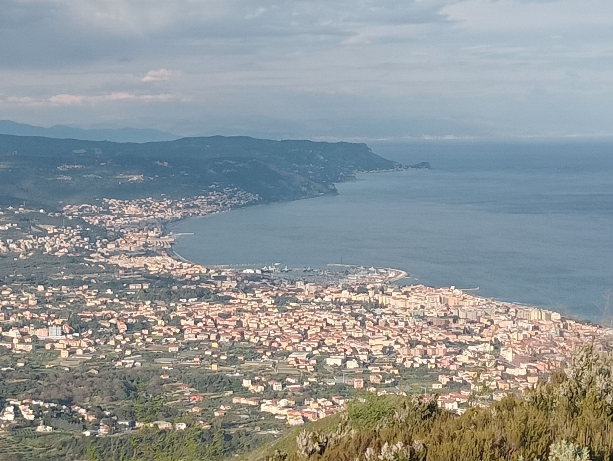
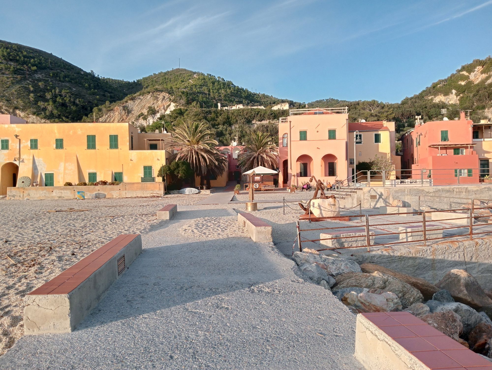
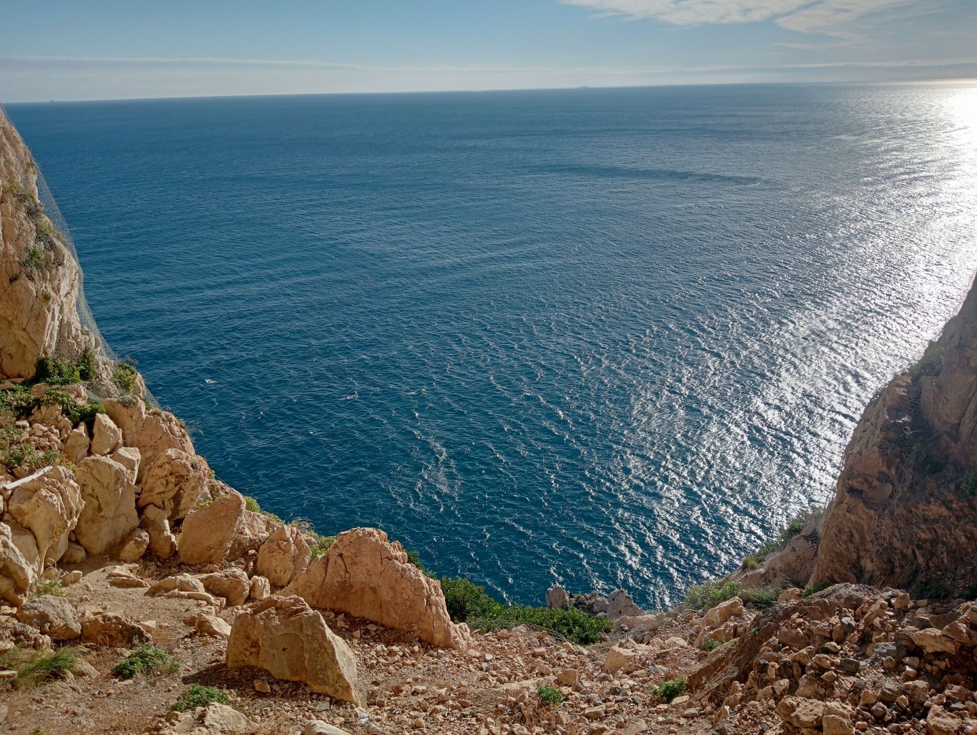
From Finale Ligure take the Provincial road in the direction of Manie and ride along it until you reach the top of the plateau. At the end of the climb, near a left hand bend in the road, pick up the downhill track to the right for about 500 m, turning left onto the first dirt road you come across. You will then reach the first of two campsites and the Provincial road after that. Pick up the trail on the right and you will soon be near the second campsite. From there continue along the Provincial road to an obvious red-clay building on the right side of the road: take the dirt road on the left; then, immediately after, keep right and join the trail that crosses the meadows next to the road, reaching a second dirt road on the left that takes you to the panoramic spot of Bric dei Monti. Carry on towards Magnone, go into town and, next to Municipio Town Hall, take the road to the right that goes to Rocche Bianche. Stay on route and pick up the trail Terre Alte: you will easily reach the evocative ridge of Monte Mao, a panoramic spot from where you can overlook the entire Liguria region. Follow the dirt road until you reach the entrance of an old quarry: from here you can see the start of the last trail, that leads to Spotorno. Back to the coast, return to Finale Ligure along the coastal road.

Access by car: Exit the motorway at the tollbooth of Finale Ligure, then continue towards the town centre.
Shuttle Service: not available
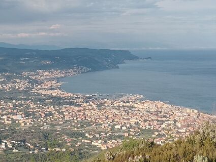
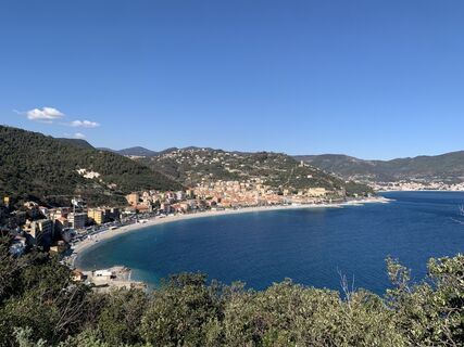
Finale Ligure
Classification: XC Difficulty: easy Rideability +/- : 99% Water Points: 2 Local Knowledge: www.finaleoutdoorresort.com/
Priljubljeni izleti v okolici
-
4.5
SV_08 Monte di Capo Noli e Caverna dei Falsari
Pohodništvo 5.49 km -
Rocche Bianche e Monte Mao (Finale Ligure)
srednjaMountainbike 37.0 km -
4.0
Finale Enduro 2008
srednjaMountainbike 38.2 km -
Highlands and Alta Via
srednjaMountainbike 63.0 km -
5.0
Colla San Giacomo E-bike Tour
srednjaKolesarjenje 30.3 km -
Leg 19 from Noli to Finalborgo
Pohodništvo 18.9 km -
Manìe Mània
težkoMountainbike 26.9 km -
Cravarezza
težkoMountainbike 46.0 km -
EWS Rock and Roll
srednjaMountainbike 31.8 km -
2.0
Finale Ligure
srednjaCestno kolo 37.2 km
Pohodništvo in sledenje


Ne zamudite ponudb in navdiha za naslednje počitnice
Vaš e-poštni naslov je bil dodan na poštni seznam.