


EWS Rock and Roll
Fotografije naših uporabnikov
-
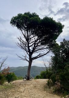
 © Aurelian BöhlerUstvarjeno na 17.02.2026
 -
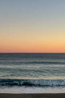
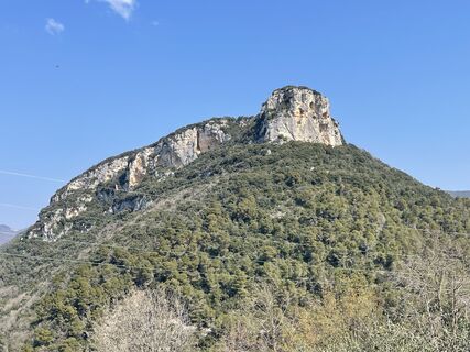
 © Aurelian BöhlerUstvarjeno na 16.02.2026
 -
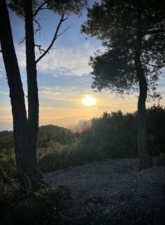
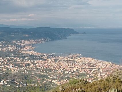
 © Aurelian BöhlerUstvarjeno na 16.02.2026
 -
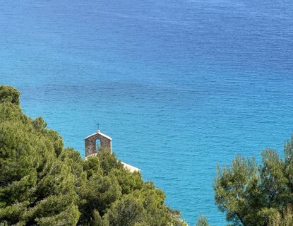
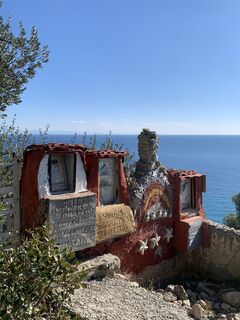
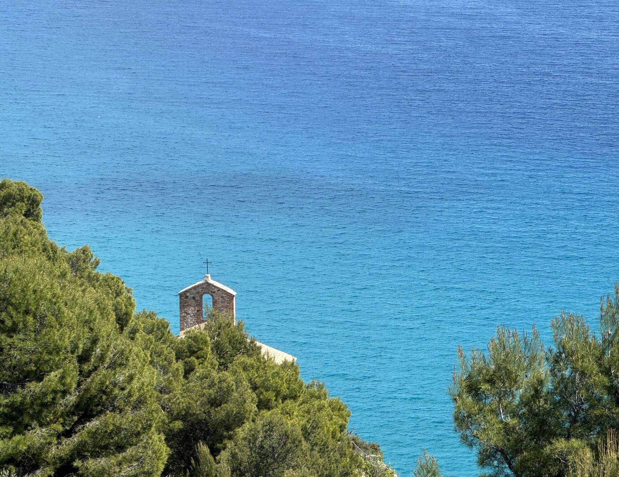
 © “Jerry” BrunettiUstvarjeno na 24.04.2026
 -

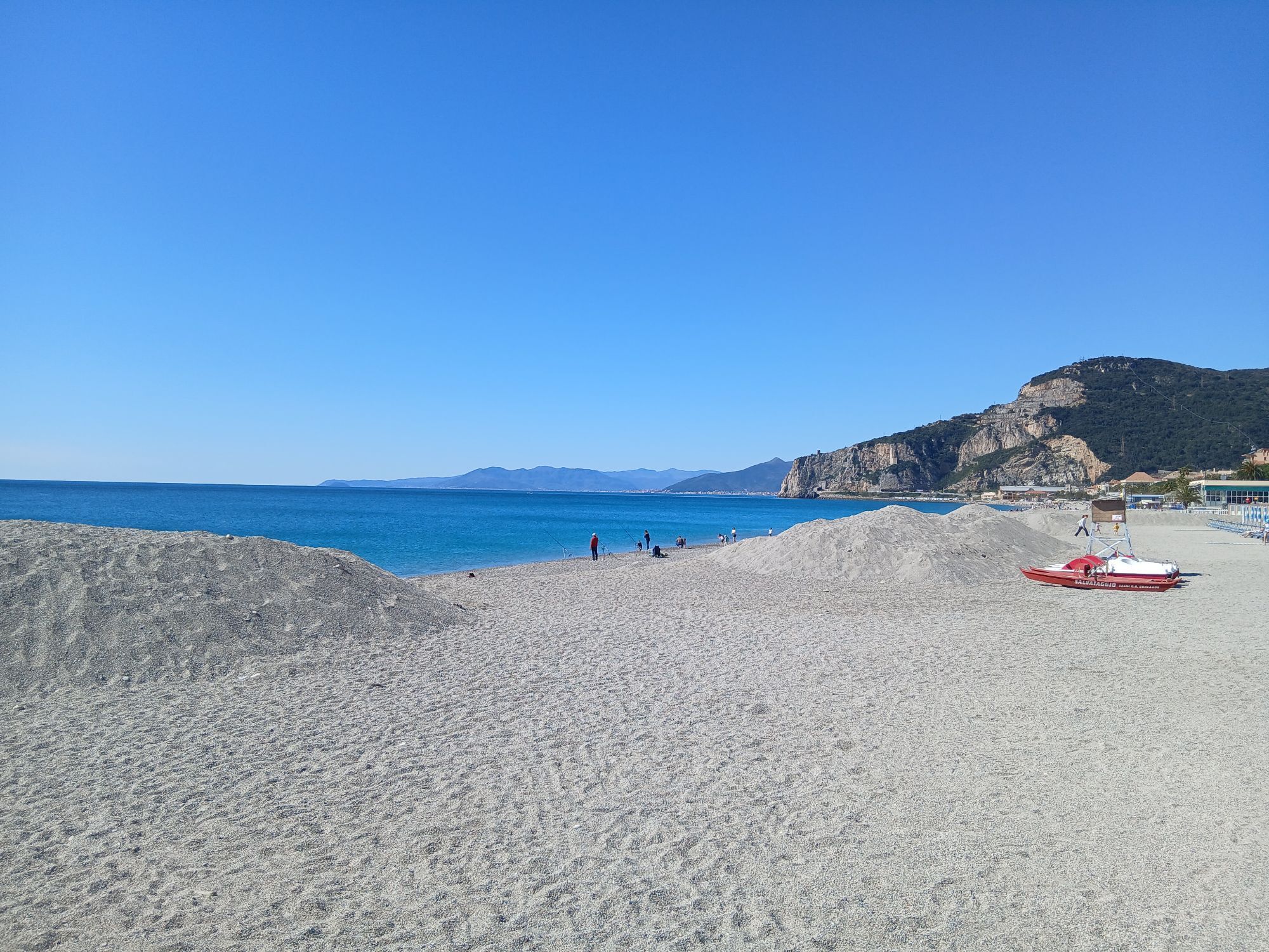
 © Luca DaineseUstvarjeno na 03.04.2026
 -
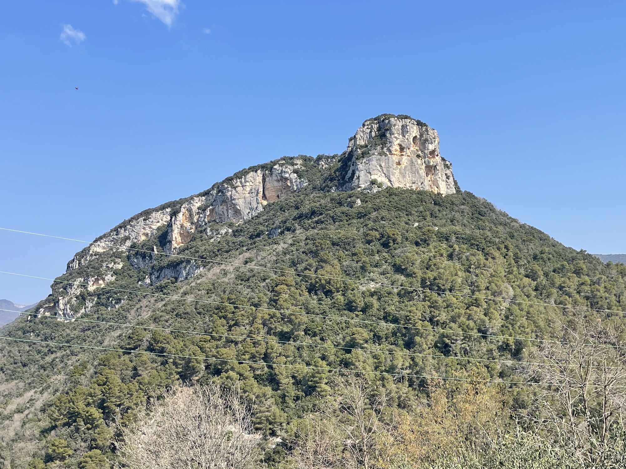
 © Karl HohenwarterUstvarjeno na 23.03.2026
 -

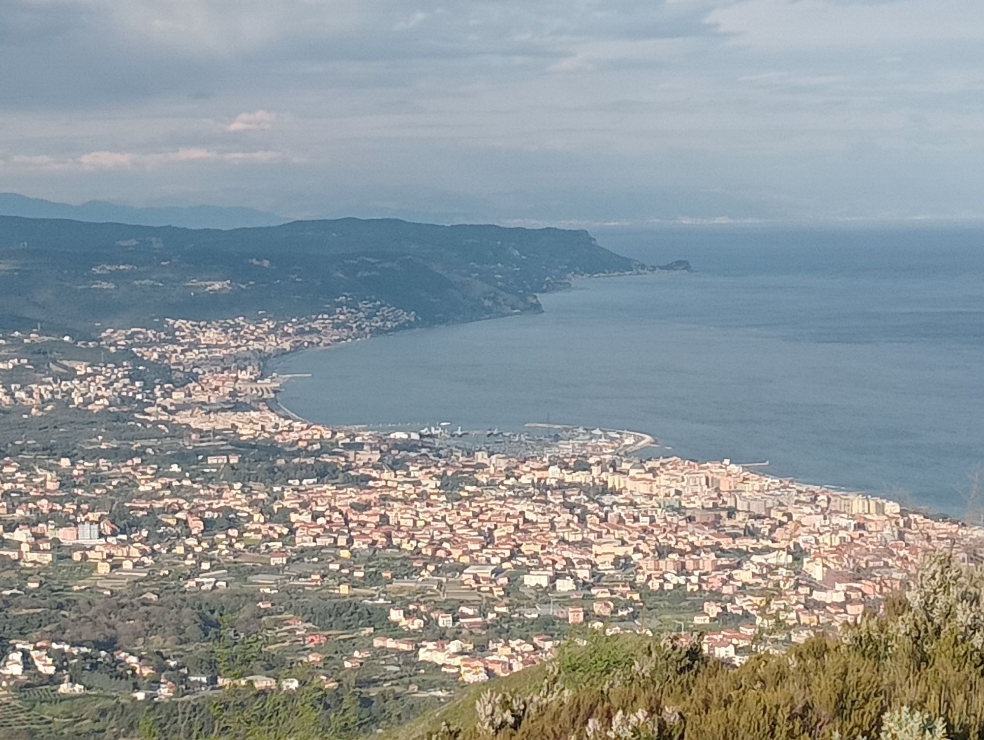
 © Mario AugustiniUstvarjeno na 07.06.2025
 -
 © simone ravasiUstvarjeno na 01.04.2025
 -
 © Toni LerdaUstvarjeno na 27.02.2022
 -
 © Toni LerdaUstvarjeno na 27.02.2022


From Finale Ligure follow the directions to Residence Rubino and reach the start of the well-known Ciappi trail. Keep right at the first and second junction, reach Campo Rotondo and pick up the trail that...
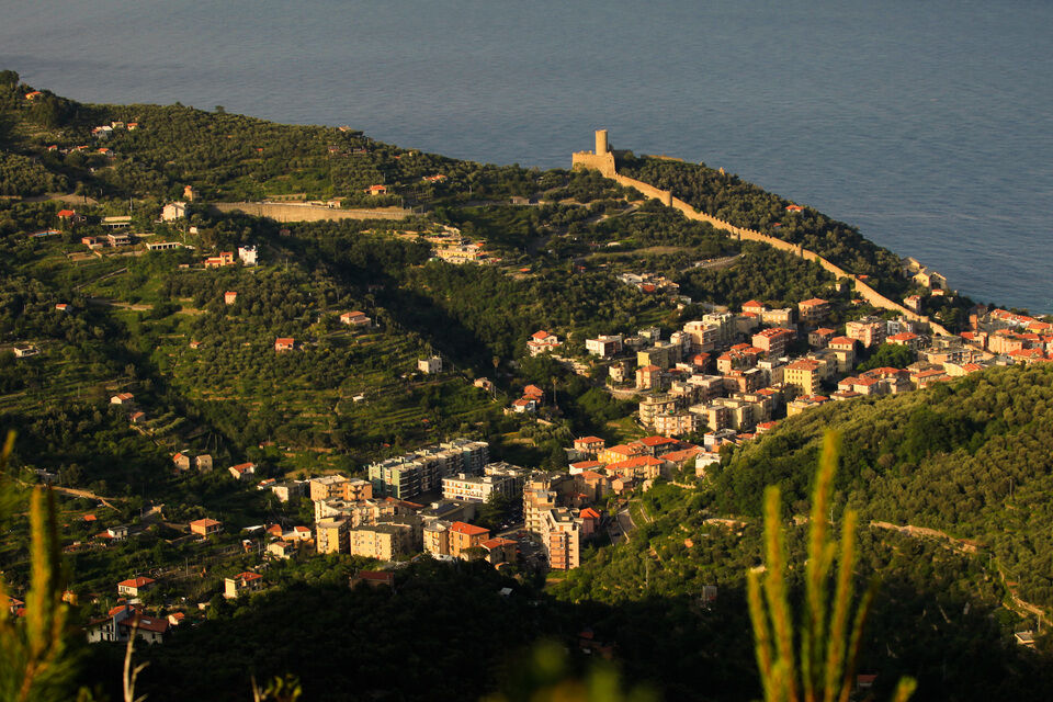
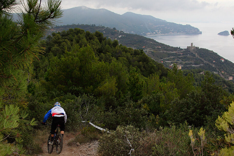
From Finale Ligure follow the directions to Residence Rubino and reach the start of the well-known Ciappi trail. Keep right at the first and second junction, reach Campo Rotondo and pick up the trail that climbs on a rock-slab next to the impressive prehistoric shelters. Past Calvisio Vecchio continue to Verzi and to Strada Romana, a dirt road that takes you in no time to the first of the five Roman bridges. At the T-junction keep right and climb towards the Manie plateau, not far from a restaurant. Keep going until you reach the junction near the bridge, keep left and follow the dirt road that takes you back to the Manie Provincial road. Turn right, pick up the dirt road that starts on your left after a few metres and follow it until you reach the panoramic spot overlooking the Noli bay, well-known as i decolli; this is where the technical and rocky trail that leads to the San Michele church begins. Leave Noli going in the direction of the coast and turn onto the Provincial road that goes back to the Manie plateau: follow it until you reach Bric dei Crovi. Take the downhill trail down to the fork, keep right, reach the crossroads and then keep going straight towards Varigotti first and towards Finale Ligure later on. Along the route you can admire the terraces made with ancient dry-stone walls. Do not miss the cave Arma delle Manie, inhabited since prehistoric ages and famous for the important archaeological excavations carried out inside it.

Access by car: Exit the motorway at the tollbooth of Finale Ligure, then continue towards the town centre.
Shuttle Service: available ttp://www.finaleoutdoorresort.com/gravityshuttle/index.html
Finale Ligure
Classification: EN Difficulty: difficult Rideability +/- : 99% Water Points: 2 Local Knowledge: www.finaleoutdoorresort.com/ www.andreaprincipato.com/ Notes: during the winter, the initial section at the top can be covered with snow
Priljubljeni izleti v okolici
-
4.5
SV_08 Monte di Capo Noli e Caverna dei Falsari
Pohodništvo 5.49 km -
Rocche Bianche e Monte Mao (Finale Ligure)
srednjaMountainbike 37.0 km -
4.0
Finale Enduro 2008
srednjaMountainbike 38.2 km -
Highlands and Alta Via
srednjaMountainbike 63.0 km -
5.0
Colla San Giacomo E-bike Tour
srednjaKolesarjenje 30.3 km -
Leg 19 from Noli to Finalborgo
Pohodništvo 18.9 km -
Manìe Mània
težkoMountainbike 26.9 km -
Cravarezza
težkoMountainbike 46.0 km -
2.0
Finale Ligure
srednjaCestno kolo 37.2 km -
5.0
Leg 21 from Boissano to Toirano
Pohodništvo 12.3 km
Pohodništvo in sledenje


Ne zamudite ponudb in navdiha za naslednje počitnice
Vaš e-poštni naslov je bil dodan na poštni seznam.