


Highlands and Alta Via
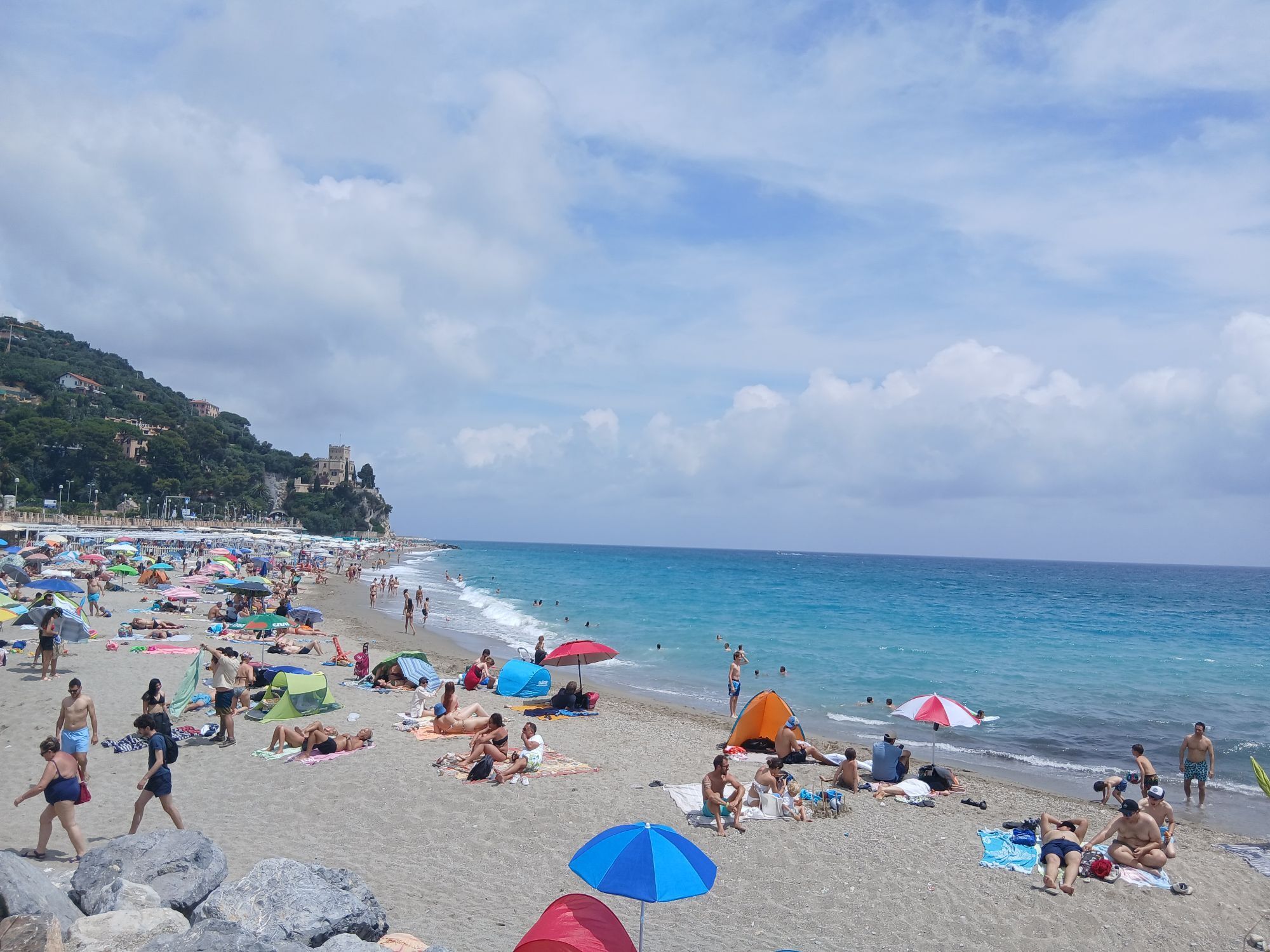
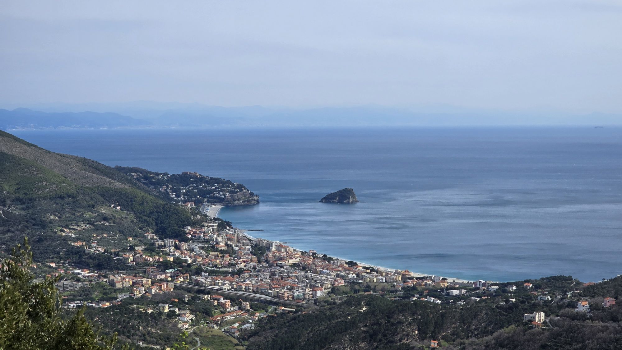
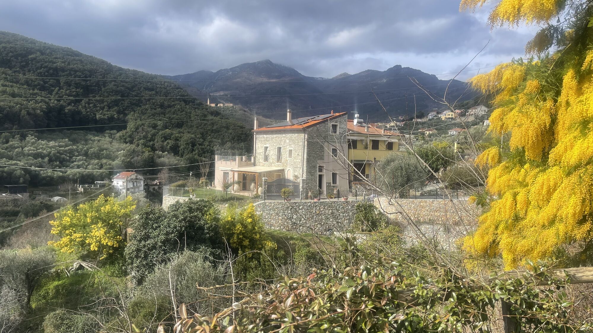
From Finale Ligure ride along the Aurelia road heading west until you reach Pietra Ligure, then follow the directions to Giustenice. Go along the river until the climb begins. Past the village, continue...
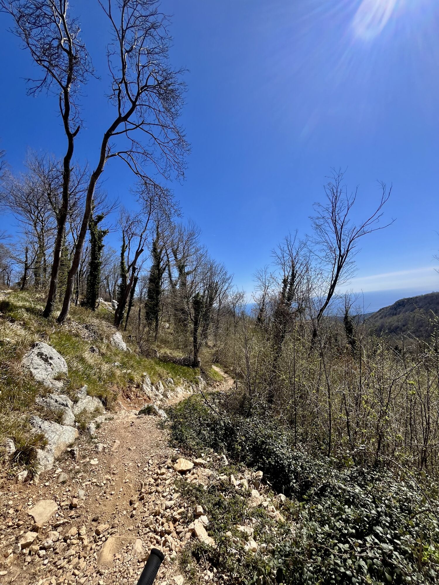
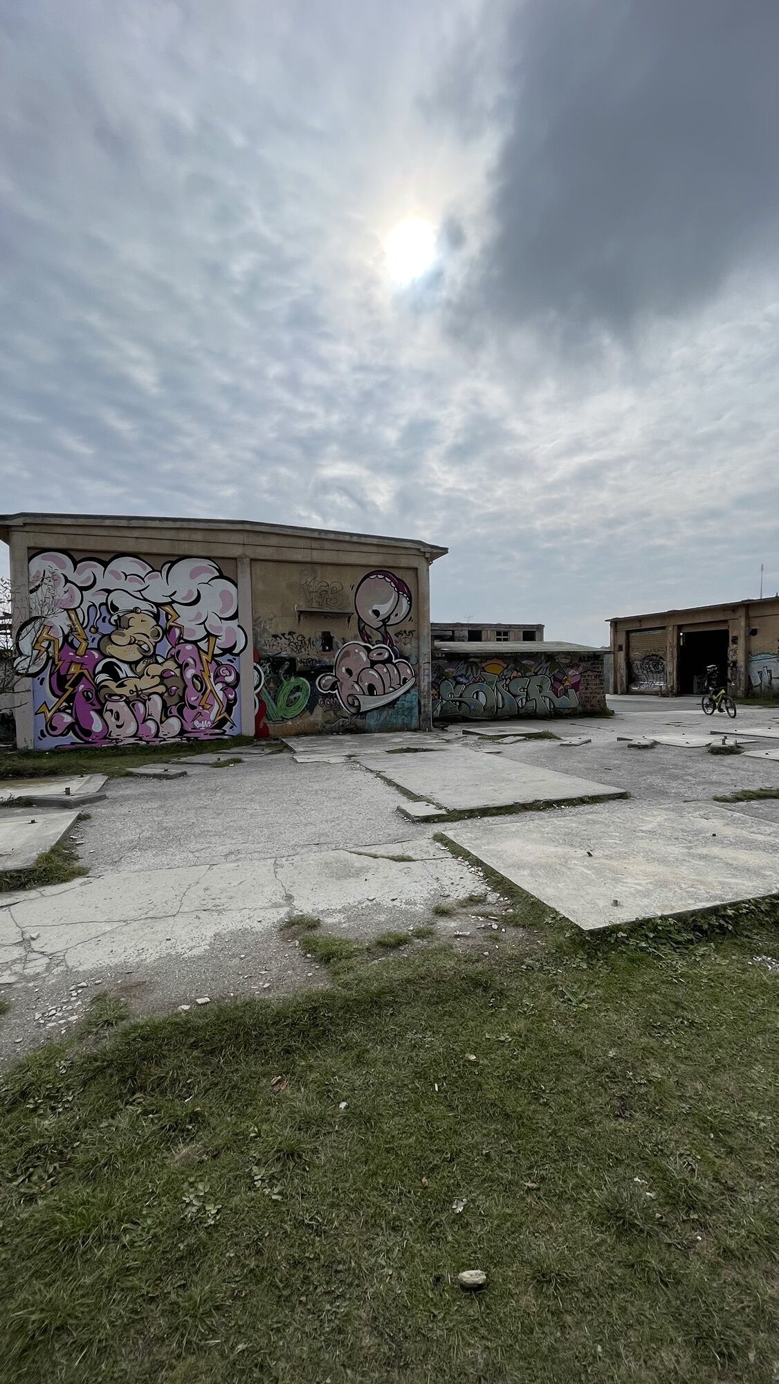
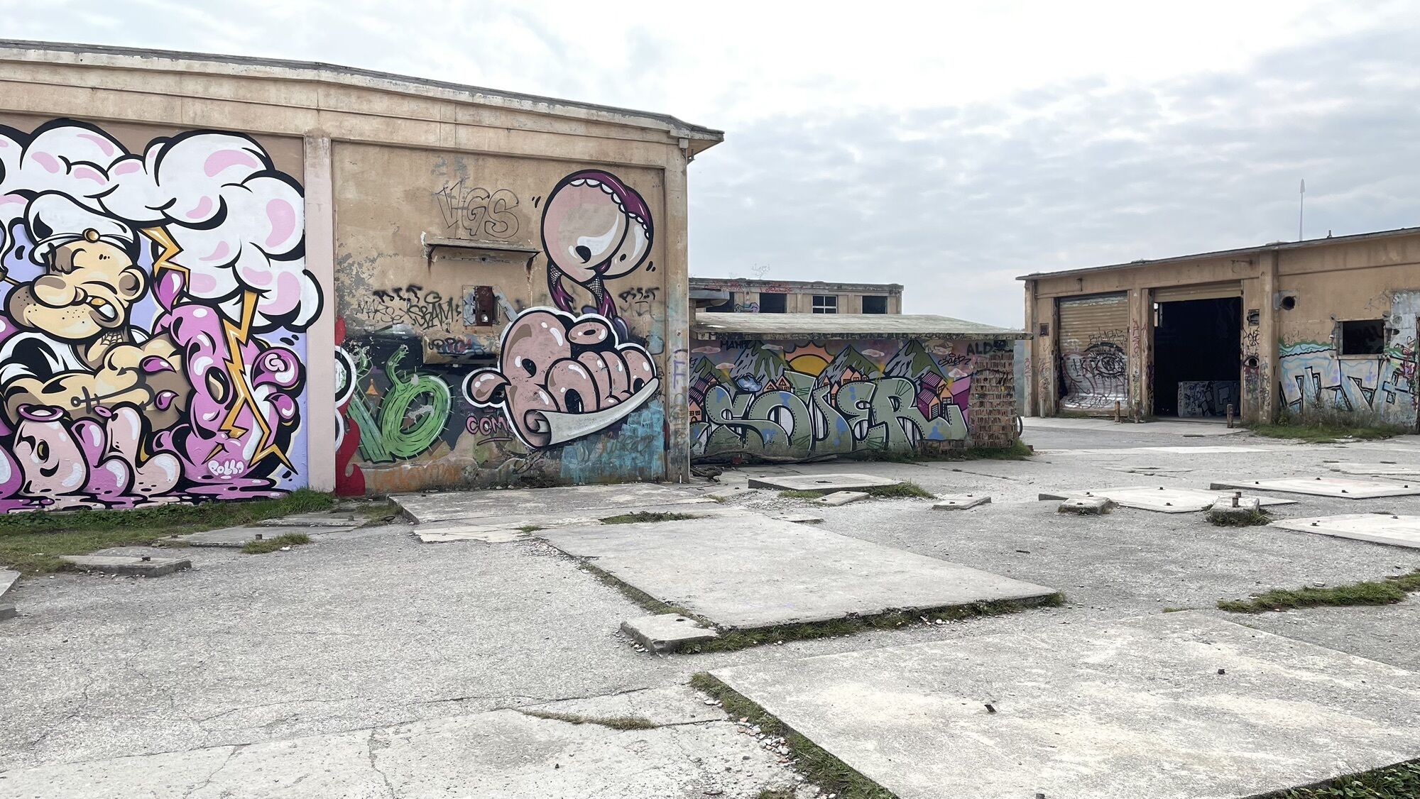
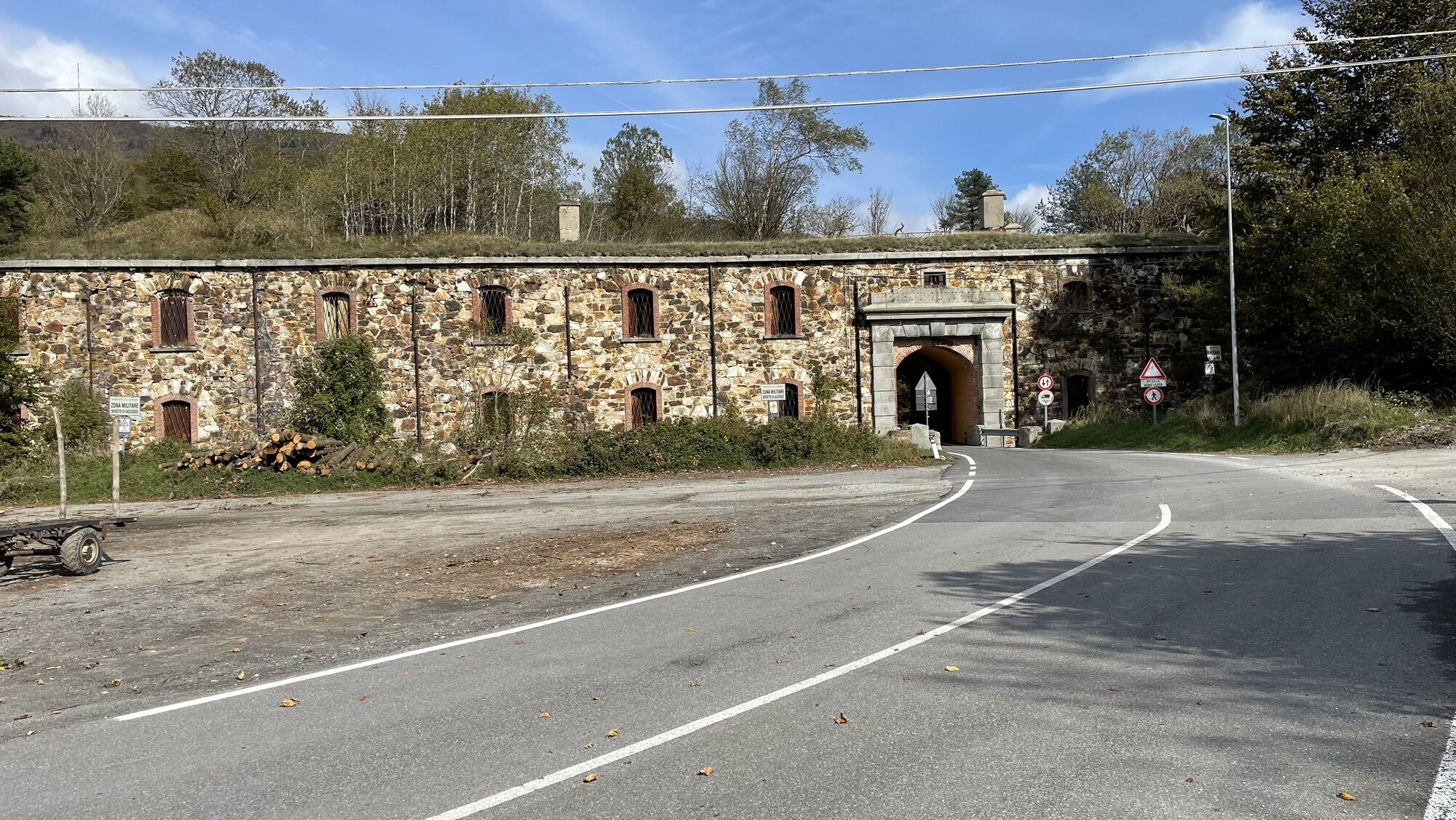
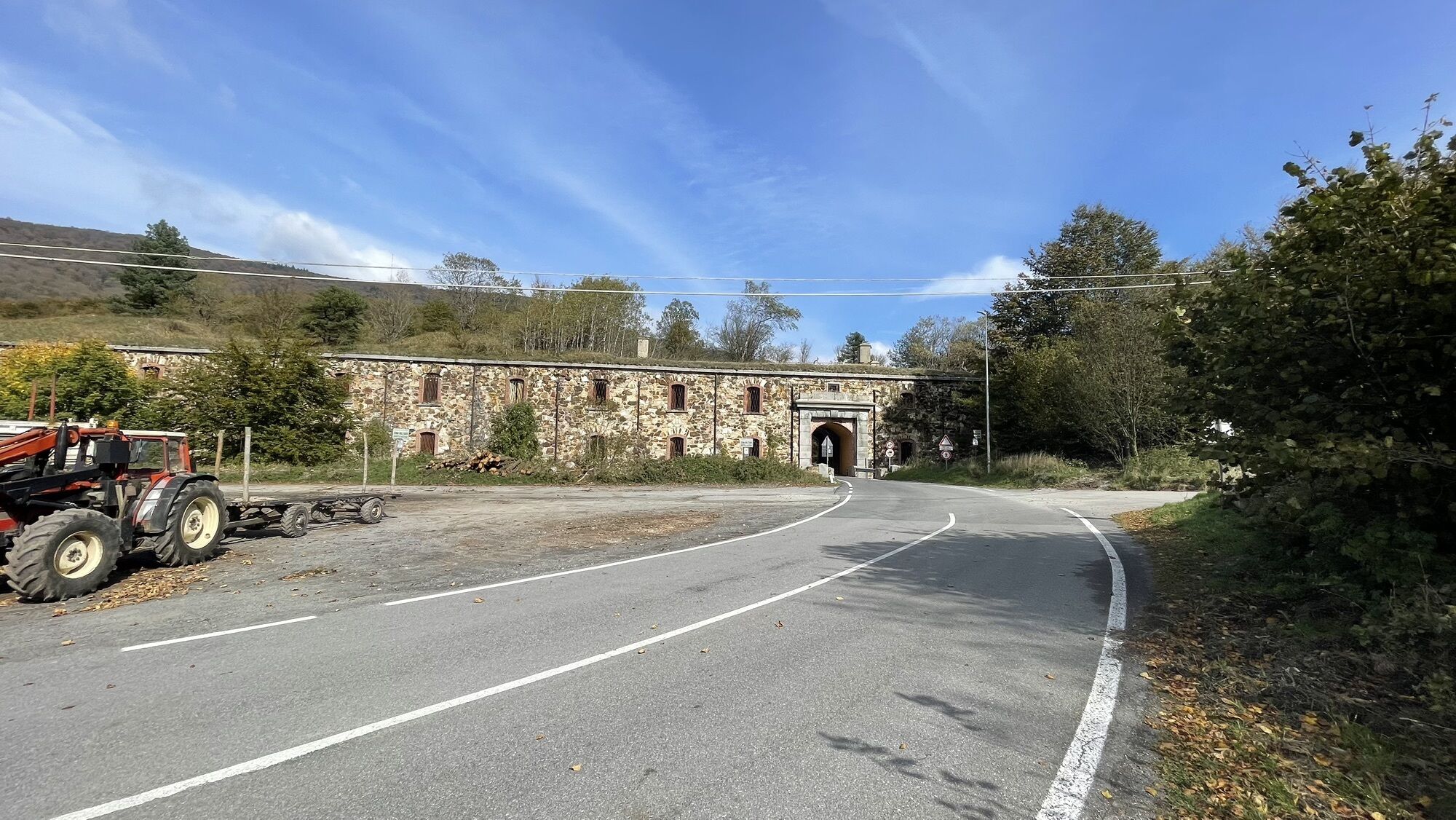
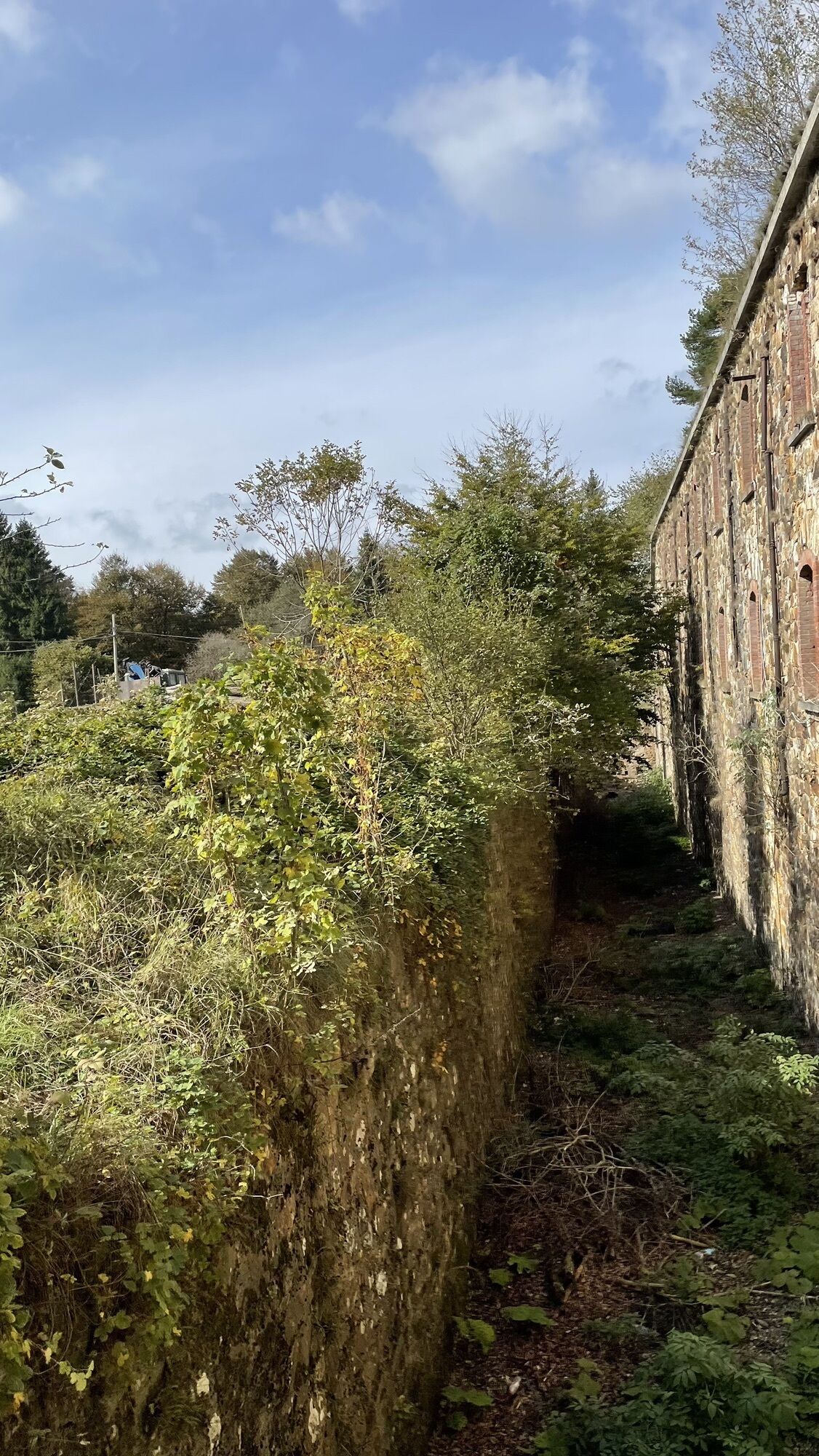
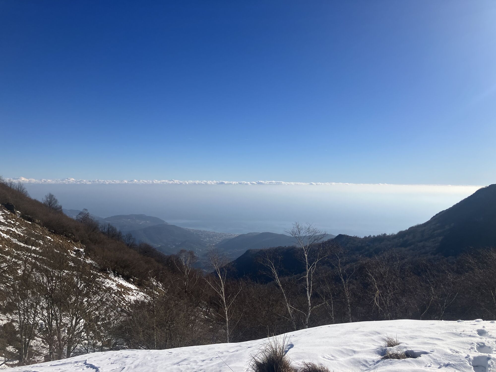
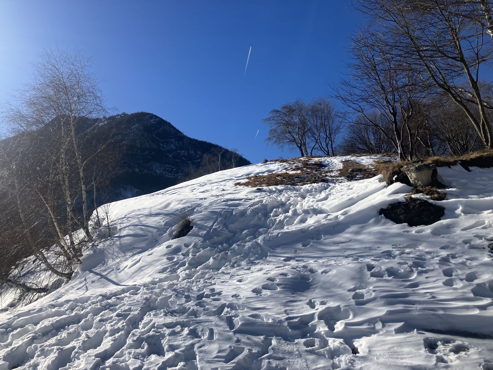
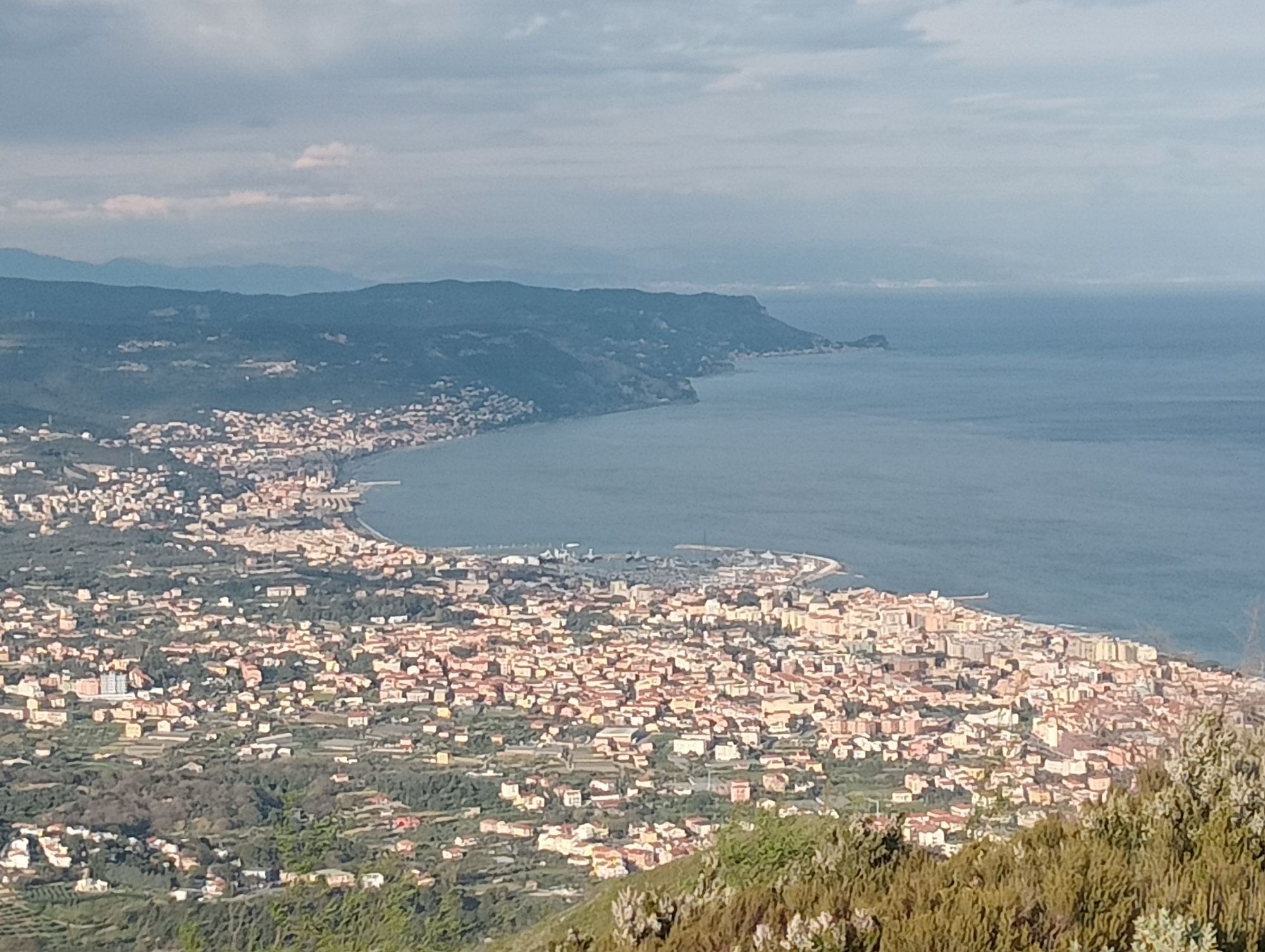
From Finale Ligure ride along the Aurelia road heading west until you reach Pietra Ligure, then follow the directions to Giustenice. Go along the river until the climb begins. Past the village, continue on the signposted dirt road as far as Giogo di Giustenice, at the foot of Monte Carmo, from where you follow the Alta Via signs in the direction of Colle del Melogno. Most of the elevation difference has been gained at this point and the route continues on a dirt road alternating very panoramic sections and views of the sea with sections immersed in majestic beech forests. From Colle del Melogno and the ruins of Napoleonic forts, descend towards Finale to the crossroads next to a restaurant. Turn left here, still following the Alta Via signs. Continue on asphalt until you reach the start of the road to Pian dei Corsi, on the left approaching the former NATO base. Follow the trail to Colla San Giacomo and pick up the dirt road on the right that, through a fast descent, leads down to the characteristic Rocche Bianche. The following descent takes you to Magnone from where, following the directions to Manie, you will soon reach a panoramic plateau overlooking the sea. Cross it and on the left you will find a road that takes you to Isasco and to the start of the final dirt road to Varigotti and Finale Ligure.

Access by car: Exit the motorway at the tollbooth of Finale Ligure, then continue towards the town centre.
Shuttle Service: available www.finaleoutdoorresort.com/gravitysh...
Finale Ligure
Classification: XC Difficulty: moderate Rideability +/- : 99% Water Points: 3 Local Knowledge: www.finaleoutdoorresort.com/ www.andreaprincipato.com/Index.html
Spletne kamere s turneje
Priljubljeni izleti v okolici
-
4.8
SV_08 Monte di Capo Noli e Caverna dei Falsari
Pohodništvo 5.49 km -
Rocche Bianche e Monte Mao (Finale Ligure)
srednjaMountainbike 37.0 km -
4.0
Finale Enduro 2008
srednjaMountainbike 38.2 km -
Leg 19 from Noli to Finalborgo
Pohodništvo 18.9 km -
Manìe Mània
težkoMountainbike 26.9 km -
5.0
Colla San Giacomo E-bike Tour
srednjaKolesarjenje 30.3 km -
5.0
Il Paradiso di Manù - Noli - Monte Capo Noli - Varigotti
srednjaPohodništvo 10.1 km -
Cravarezza
težkoMountainbike 46.0 km -
EWS Rock and Roll
srednjaMountainbike 31.8 km -
2.0
Finale Ligure
srednjaCestno kolo 37.2 km
Pohodništvo in sledenje


Ne zamudite ponudb in navdiha za naslednje počitnice
Vaš e-poštni naslov je bil dodan na poštni seznam.