





Santalahti nature trail, Kotka
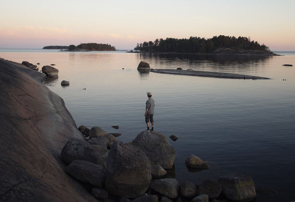
The 4.4 km long Santalahti nature trail takes you across the island to rocky southern shores offering magnificent sea views of the Gulf of Finland archipelago. In good weather, you can even see as far...
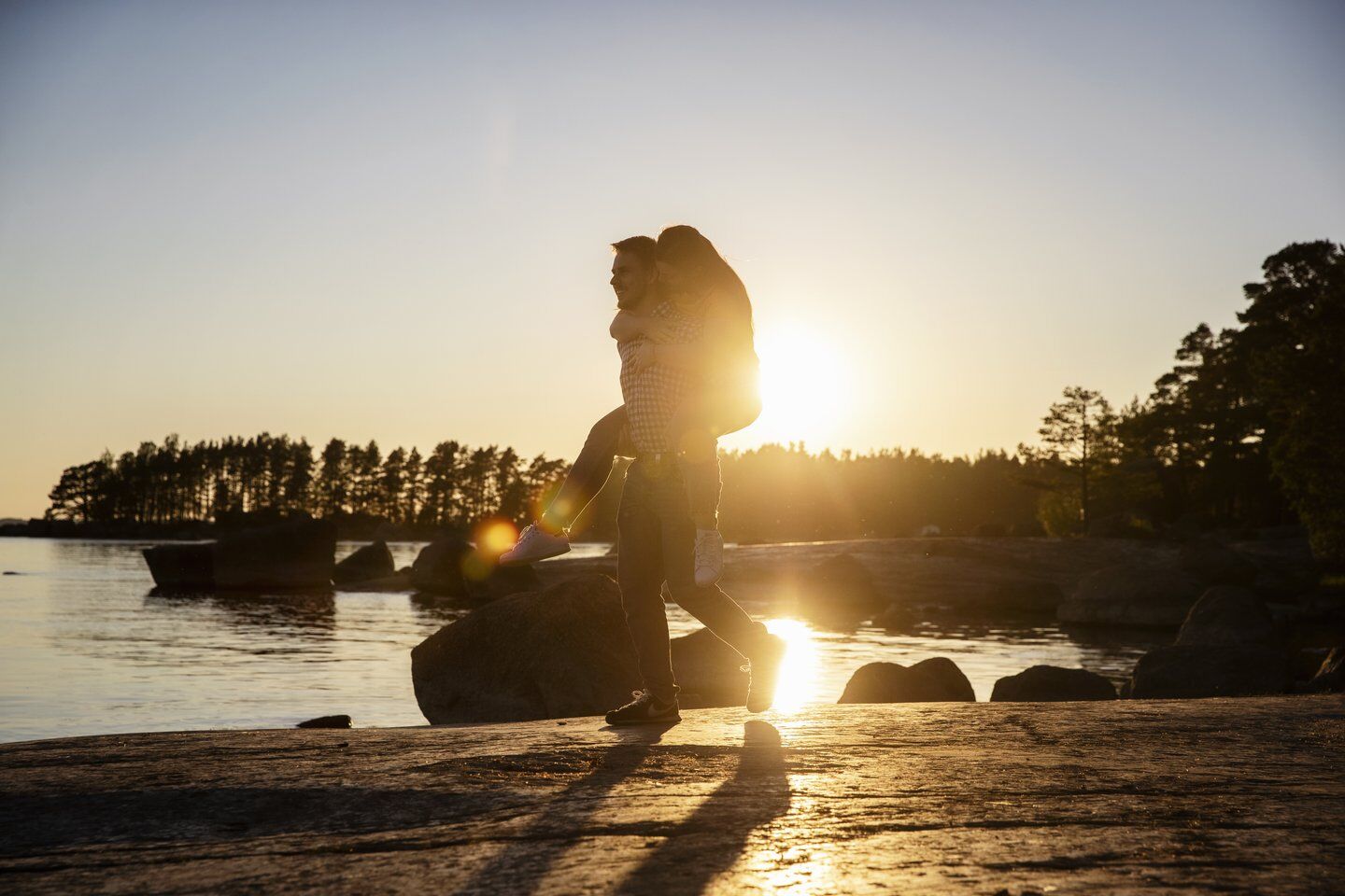
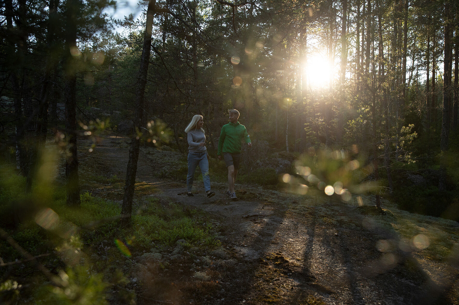
The 4.4 km long Santalahti nature trail takes you across the island to rocky southern shores offering magnificent sea views of the Gulf of Finland archipelago. In good weather, you can even see as far as Suursaari on the Russian side. In the wooded end section of the route, you will find the beauty, scents, and sounds of the forest. Along the route, there are also rugged archipelago rocks, forests, gentle and steep rocky shores, as well as excellent swimming and picnic spots in the shade of coastal rocks or glacial erratics. Dogs also enjoy these beaches.
Along the nature trail, there are 23 signs explaining what is or has been located in the area. The signs tell about, among other things, a tar pit, the Devil’s field, and rapakivi granite typical for Southeast Finland.


Da
Da
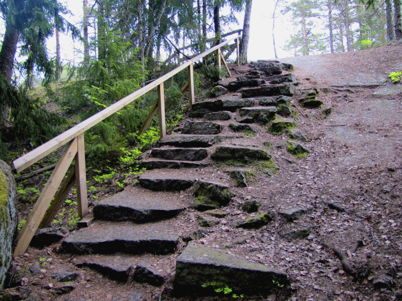
You can manage the route normally with running shoes or similar, but in wet conditions, parts of the route may be wet, so waterproof footwear is recommended.
The rocks on the route can be slippery in wet weather. Especially slippery are the algae-covered rocks and coastal stones at the water’s edge.
Exit Motorway E-18 at junction 73 and continue south on Mussalontie for 5.7 km. Turn right at the intersection and continue towards the Mussalo harbor along Merittuulentie for 1.3 km. Turn right at the intersection and continue on Santalahdentie for 1.8 km, after which you reach the bus turnaround point; continue about 100 m from there to the nature trail parking lot.
From Kotka, take the bus (Service line P002) from Kotka island to the gate of Mussalo harbor, from where it is about 1.5 km walk to the start of the route. Bus schedules can be found here
There is a free parking lot at the start of the nature trail. If there is no space, the car can be left at the parking lot of the Santalahti camping area.
You can learn more about the Santalahti nature trail in Kotka Parks Department's story map
Priljubljeni izleti v okolici
Santalahti Resort - Rapids Route
svetlobaKolesarjenje 28.0 kmKotka park route
svetlobaKolesarjenje 8.03 kmFortresses Coast, Loviisa, Kotka, Hamina
svetlobaKolesarjenje 88.5 kmSantalahti Resort - Alvar Aalto's Sunila
svetlobaKolesarjenje 34.4 kmKotka national urban park cycling route
srednjaKolesarjenje 47.1 kmSantalahti Resort - Kotka Park route
svetlobaKolesarjenje 18.3 kmKymi River Rapids Cycling Route, Kotka
svetlobaKolesarjenje 24.8 kmKylpylä - Lappeen Marian kirkko - Variskallio - Lentokenttä
Motorno kolo 240.1 kmHelsinki - Kasakallio - Rukoushuone - Keskusta
težkoKolesarjenje na dolge razdalje 324.9 kmKotka - Pernoo - Moronvuori päivätupa
srednjaPohodništvo 11.4 km
Pohodništvo in sledenje


Ne zamudite ponudb in navdiha za naslednje počitnice
Vaš e-poštni naslov je bil dodan na poštni seznam.





