


Canoe expedition Inkeroinen - Kotka
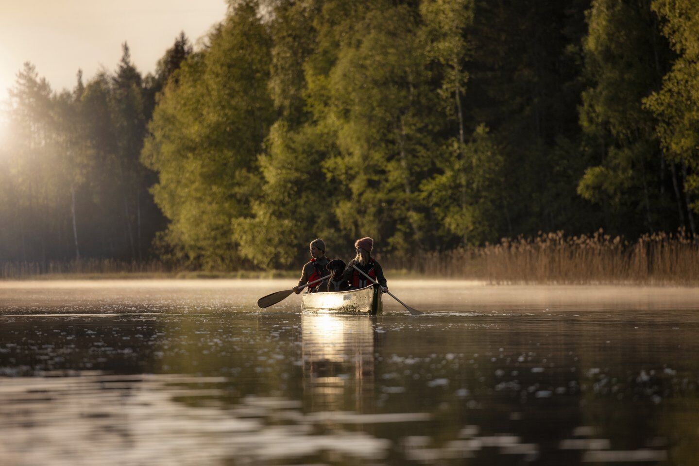
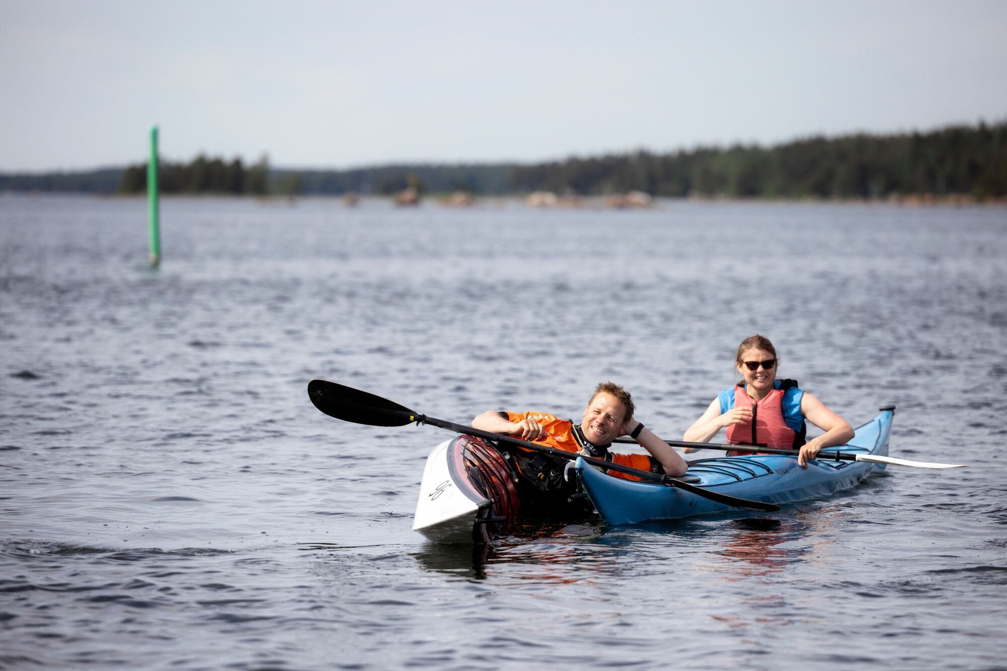
This 2-4 day canoeing trip takes you both on the main course of the Kymijoki River and, at the end, out to sea, circling the river estuary all the way to Kotka.
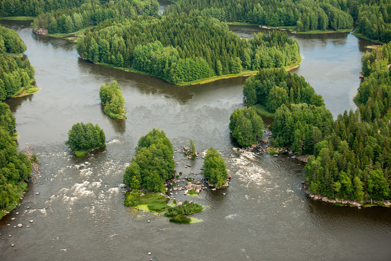
The route is full of stunning scenery, diverse...
This 2-4 day canoeing trip takes you both on the main course of the Kymijoki River and, at the end, out to sea, circling the river estuary all the way to Kotka.
The route is full of stunning scenery, diverse currents, and a variety of sights and experiences.
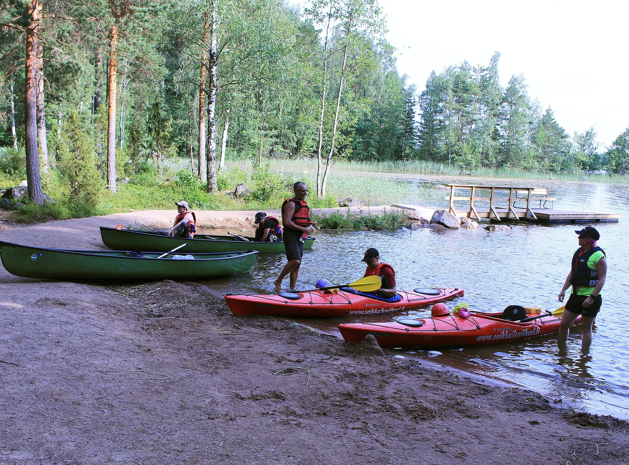
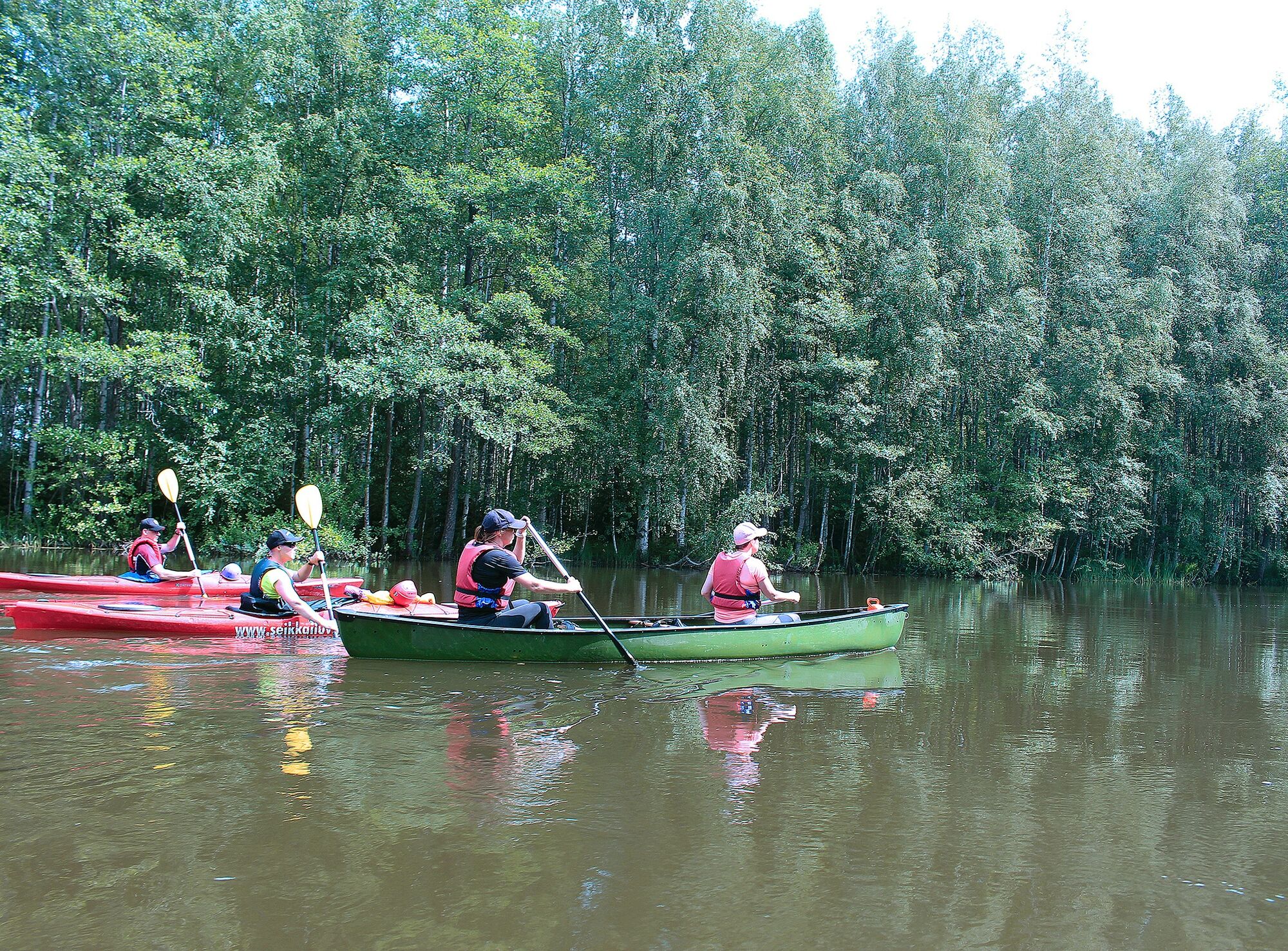
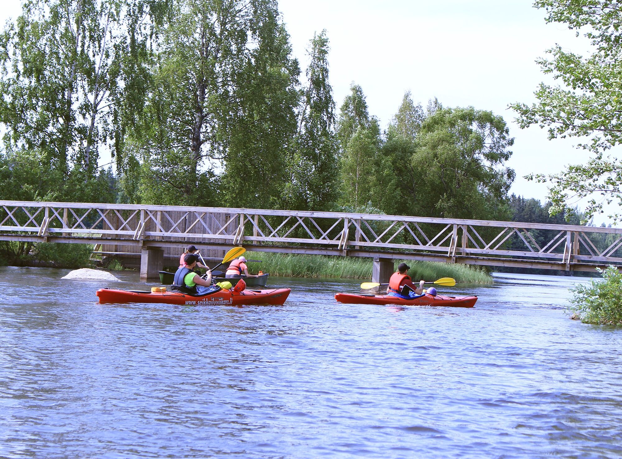
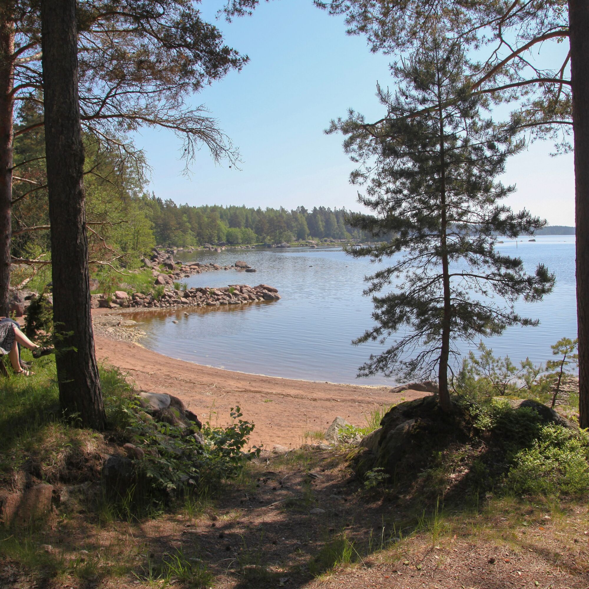
The river canoeing section totals just under 63 km, which includes crossing one 4.5 km long lake. The rest of the route (32 km) is paddled along sheltered sea shore bays.
The route has a few kilometers of sea section with no islands providing shelter.
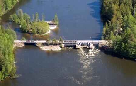
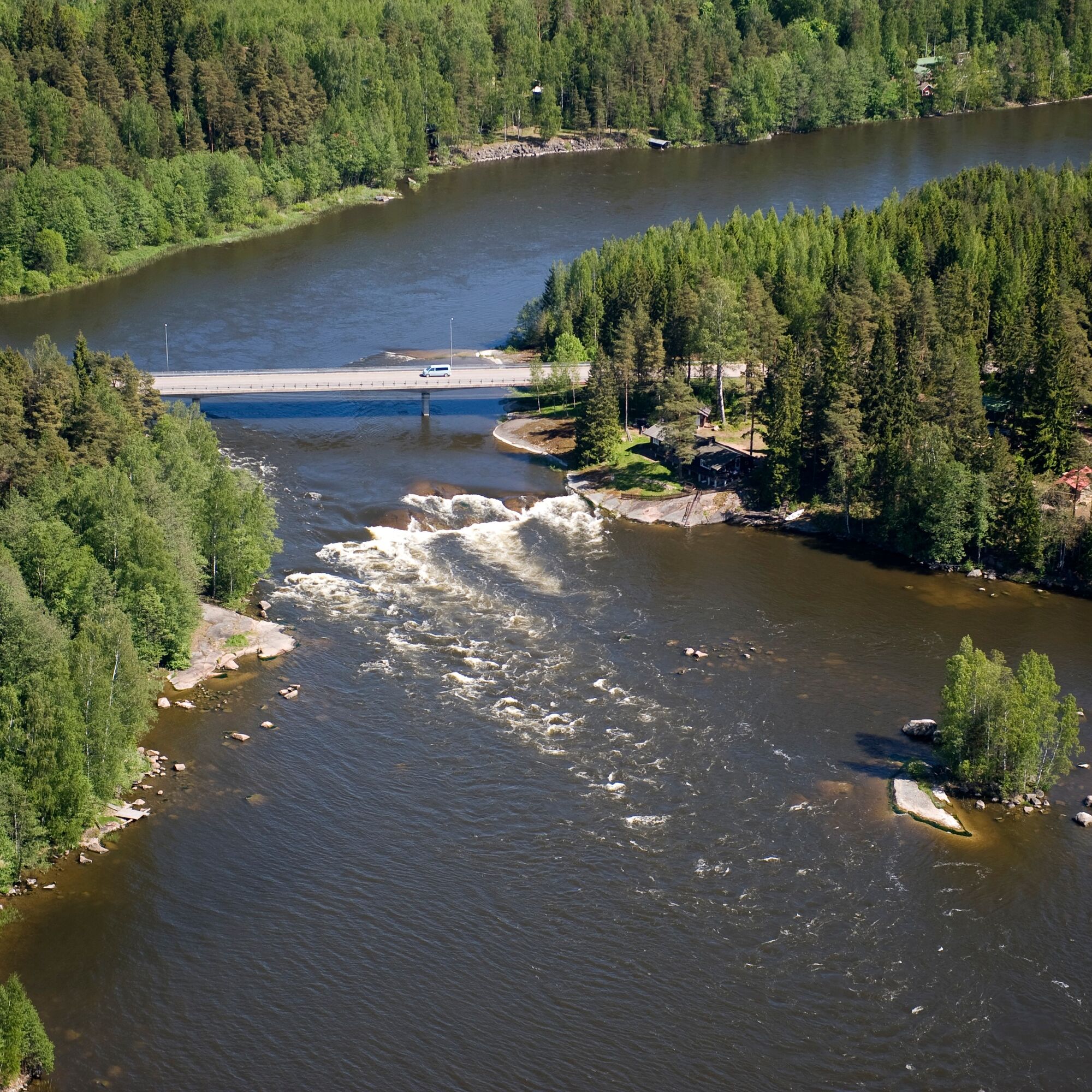
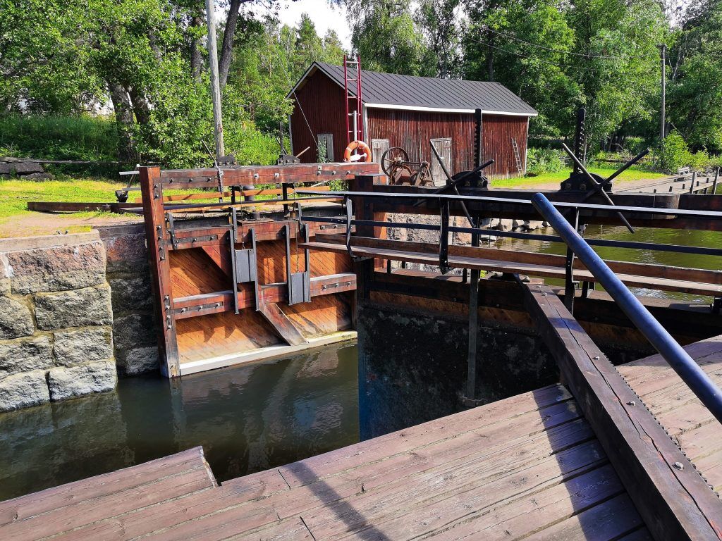
The river section offers very varied currents and a range of riverbank scenery. Most of the route consists of calm or slow currents that carry the paddler forward peacefully. There are also several faster flowing rapids, which are still safe for paddlers. There are 4 whitewater rapid spots, two of which are very easy and two require previous canoeing experience. These more challenging rapids can be bypassed by portage routes. The route also includes two dams and one lock.
The Hirvivuolte dam has a boat slide built for paddlers to easily move the canoe past the dam.
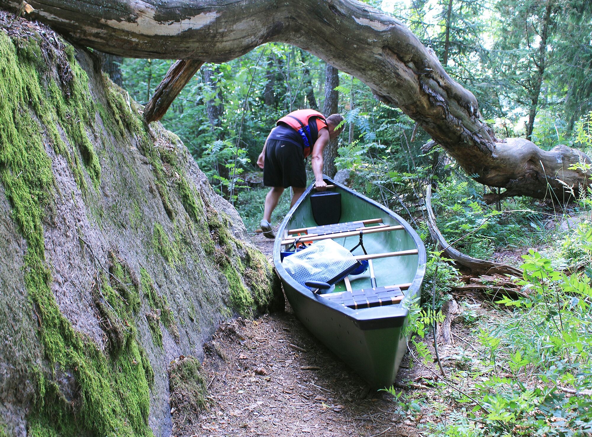
At Strömfors, the canoe is carried over the road on top of the dam.

Download the Outdooractive app from your app store and follow the route guidance using your phone. Be prepared with a sufficient power bank so that your phone does not run out of battery during the trip.
Detailed canoeing route guide
Equipment for the paddler
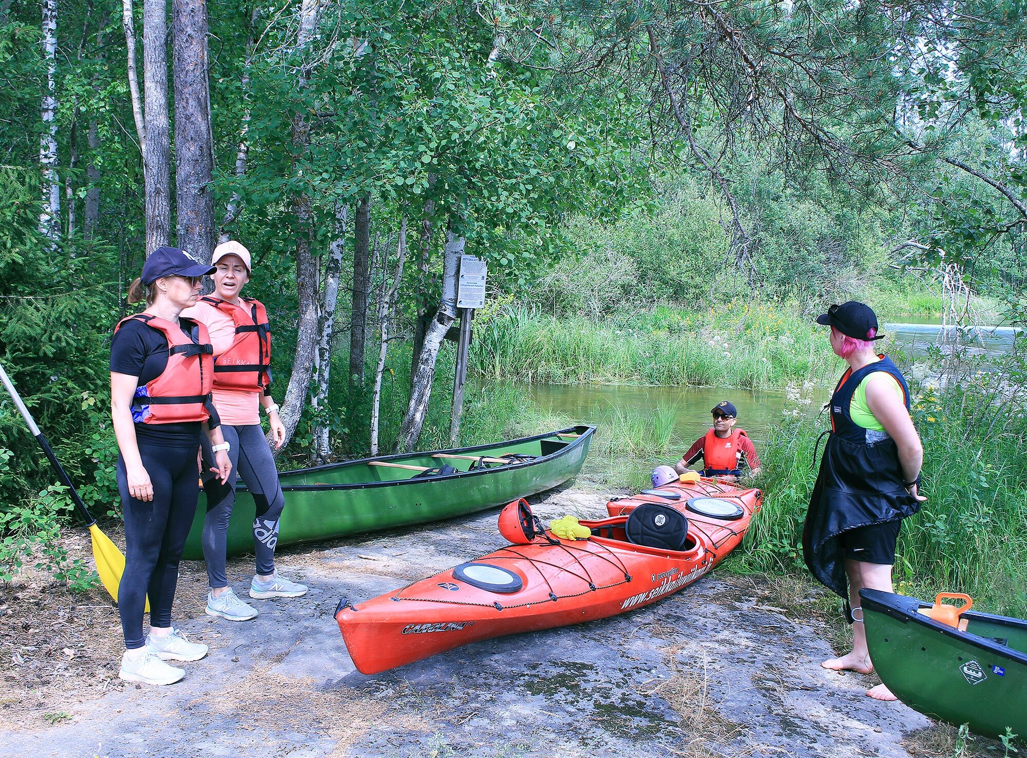
Kayak with bulkheads or other floats, or a canoe with sufficient floats Paddle PFDs (personal flotation devices), which must be worn at all times Signaling whistle attached to the PFD Spray skirt for the kayak Weather-appropriate paddling gear Change of clothes packed waterproof Mobile phone packed waterproof in PFD Bailing pump Compass and map First aid kit Camping gear (tent, sleeping bag, fire lighting equipment, etc.)Other equipment to consider
Helmet for whitewater Dry or wet suit if needed White light if paddling in darkness Spare paddleThe route has 2 whitewater sections that require canoeing experience. The paddler must familiarize themselves with the rapids beforehand, as conditions may become more difficult when water levels change. Choosing the descent route and the decision to run the rapids is always the paddler’s own responsibility.
The descent routes drawn in the guide are always RECOMMENDATIONS, never absolute truths.
An independent adventurer must assess the situation on site, relying on their own observations.
General instructions
Do not go on a canoeing trip alone or without telling anyone Make sure you can read maps and map symbols Practice rescue techniques, at least buddy rescue Always keep your mobile phone packed waterproof in your PFD pocket Save the emergency number to your phone’s speed dial Ensure you have an up-to-date weather forecast Ensure you have the right and sufficient equipment Do not paddle under the influence of alcohol or other intoxicantsWeather and paddling
Be prepared for weather changes, storm, fog, poor visibility, darkness, or sudden heat that can surprise quickly and complicate paddling.
If weather worsens, consider whether the route can be made safer, whether to continue or turn back.
Adapt the route choice to your skills and equipment. Pack everything that can get wet in waterproof bags and especially protect your sleeping bag. Use quality equipment and ensure it is intact before departing on the trip. Also make sure you know how to use all your equipment. Bring enough food and drink, at least one extra day’s worth. Note that in warm weather, food spoils faster.
In an emergency, the general emergency number is 112.
If you get lost, determine your location before continuing. If unsure of your location, return to the last place where you were sure of your position.
If you capsize, prioritize getting back to your canoe or the nearest shore. Change into dry clothes to avoid hypothermia.
If the situation is serious, call the general emergency number.
When approaching from Helsinki or Hamina via the highway, take ramp 80 and continue north following this route instruction
You can reach the start point of the route in the center of Inkeroisten by bus line 3 from Kouvola travel center.
From the direction of Kotka and Kouvola, Inkeroisten is also accessible by local train. Timetables can be found at https://www.vr.fi/aikataulut
There is ample free parking space at the starting point
Along the route are several rapid spots, most of which have calm currents. The route includes two whitewater sections that require canoeing experience, but both have good portage routes for carrying the canoe around the rapids.
The route passes through Valkmusa National Park and its 2-kilometer-long boardwalk loop, which is about a 1.5-kilometer walk from the Hirvivuolte dam.
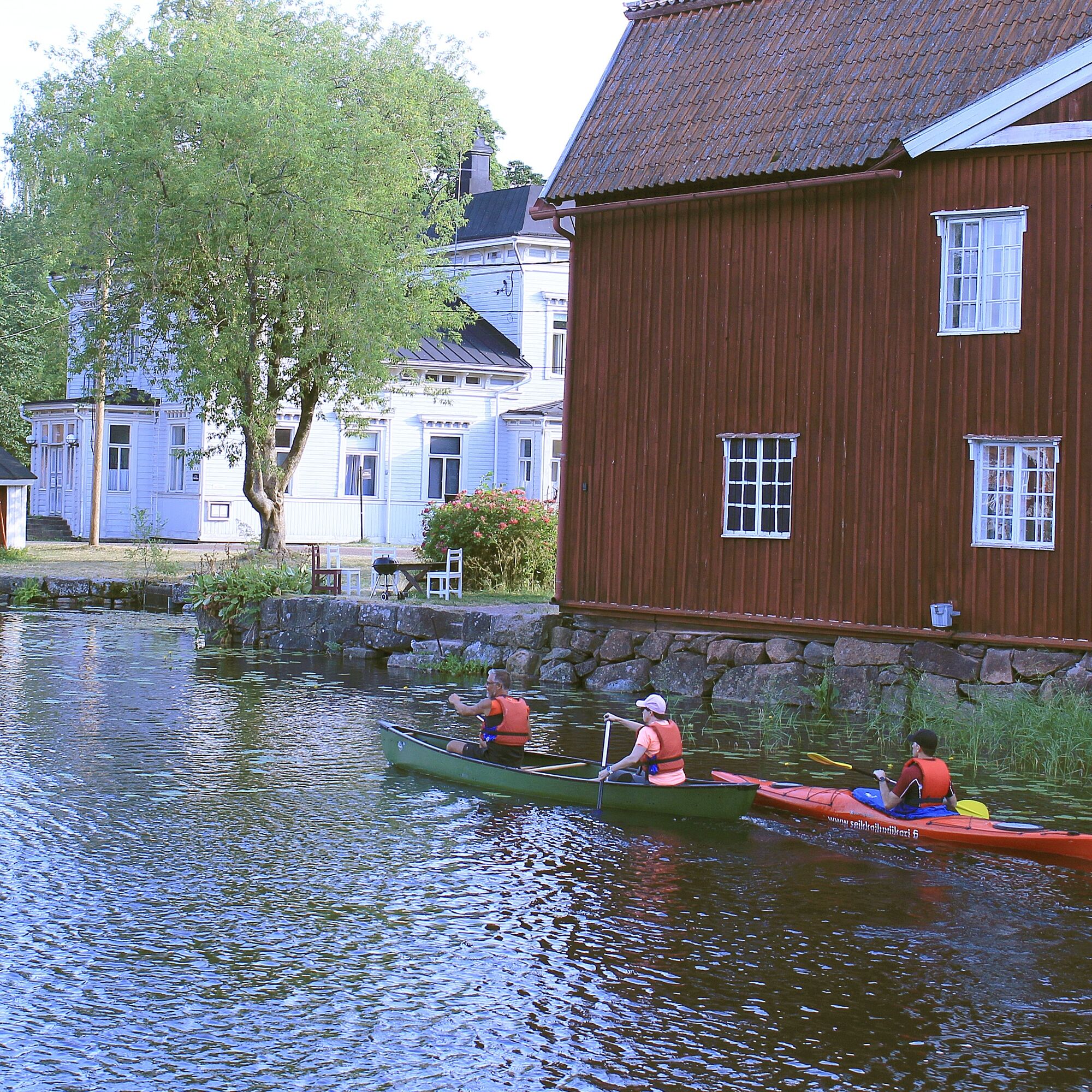
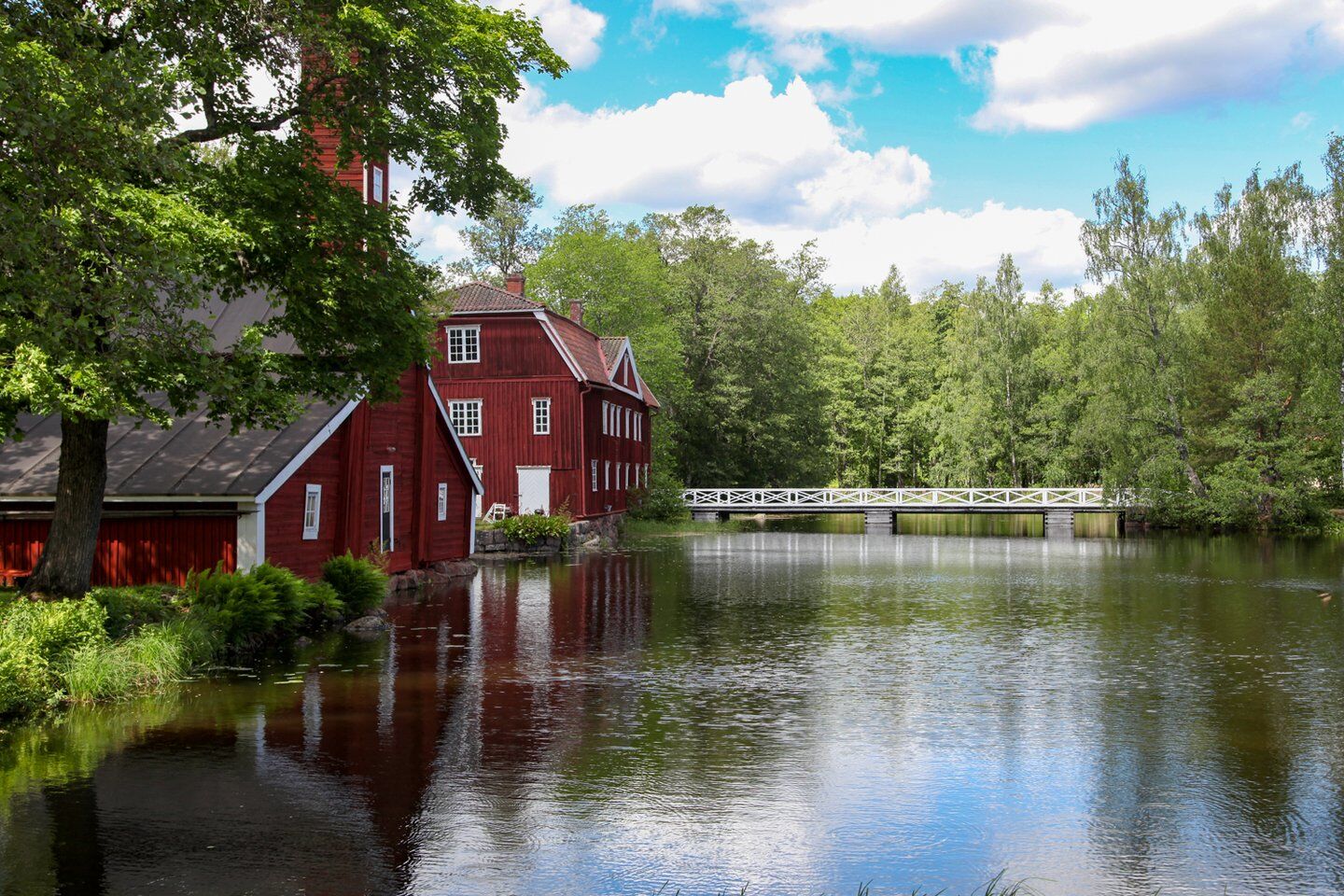
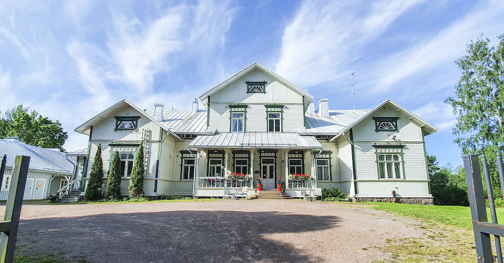
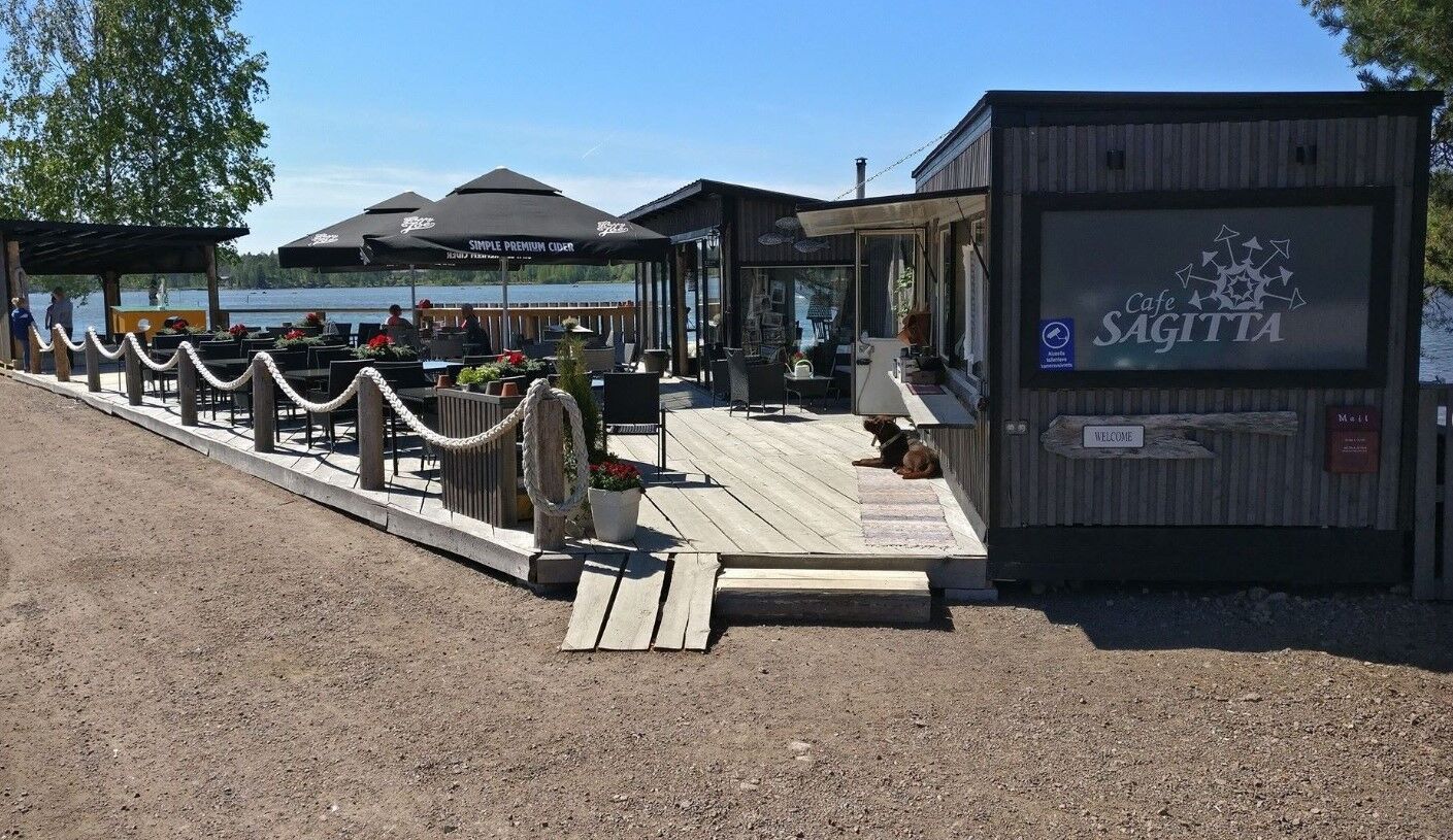
For those interested in history, there are two ironworks villages along the route. You can read more about the history and services of Strömfors ironworks at stromforsinruukki.com/ and learn about the current events of Stockfors ironworks at www.facebook.com/stockforspatruunantalo
Just before the sea section is the Struka manually operated lock. It is Finland's only operating manually operated sea lock and dates back to the early 1900s.
Priljubljeni izleti v okolici
Reka Kymijoki Kolesarska pot dveh mest
težkoKolesarjenje na dolge razdalje 218,9 kmSantalahti Resort - Rapids Route
svetlobaKolesarjenje 28,0 kmBy luck and bike, cultural route
svetlobaKolesarjenje 88,3 kmPyhtää branch canoeing route of Kymijoki River
srednjaKajak / Kanu 68,9 kmSantalahti nature trail, Kotka
svetlobaPohodništvo 4,40 kmKotka national urban park cycling route
srednjaKolesarjenje 47,1 kmTour of Kirmusaari, Loviisa
svetlobaKajak / Kanu 7,61 kmKukuljärvi route and Branni's cave, Loviisa
srednjaPohodništvo 9,30 kmFortresses Coast, Loviisa, Kotka, Hamina
svetlobaKolesarjenje 88,5 kmPernoo branch of the Kymijoki River, Kotka
srednjaKajak / Kanu 33,6 km
Pohodništvo in sledenje


Ne zamudite ponudb in navdiha za naslednje počitnice
Vaš e-poštni naslov je bil dodan na poštni seznam.