





Hämeen Ilvesreitti Riihimäki Kormu-Poronpolku 45.3 km

Stopnja težavnosti: S3
The Ilvesreitti Riihimäki Kormu-Poronpolku hiking route acts as a link to the Poronpolku mountain bike trails. The route features needle trails, rocky areas, roots, sandy path transitions, clearcuts to...
The Ilvesreitti Riihimäki Kormu-Poronpolku hiking route acts as a link to the Poronpolku mountain bike trails. The route features needle trails, rocky areas, roots, sandy path transitions, clearcuts to cross, bike carrying sections, and everything in between. Along the way, there are lean-tos, a beach, other resting places, and various services in Loppi church village.

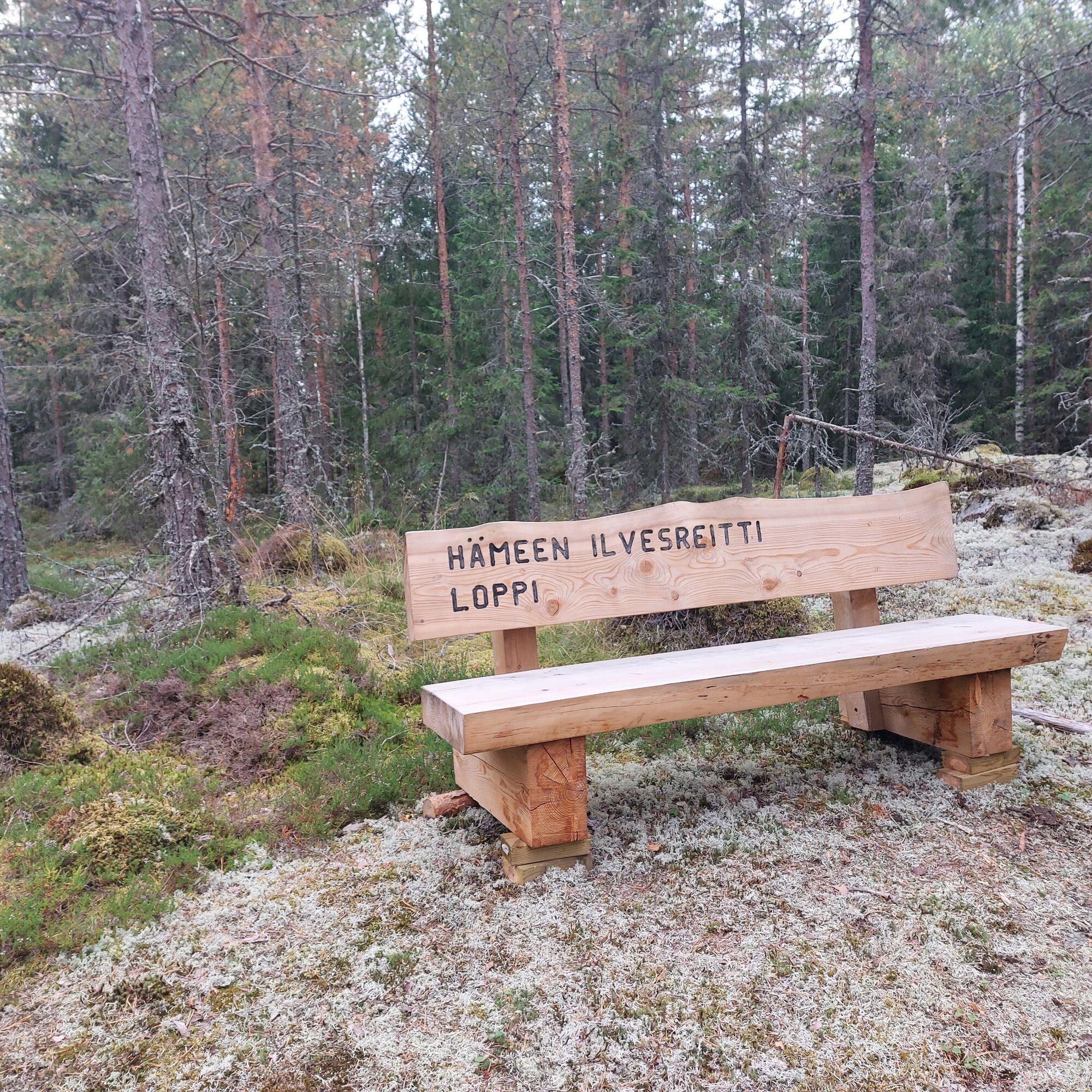
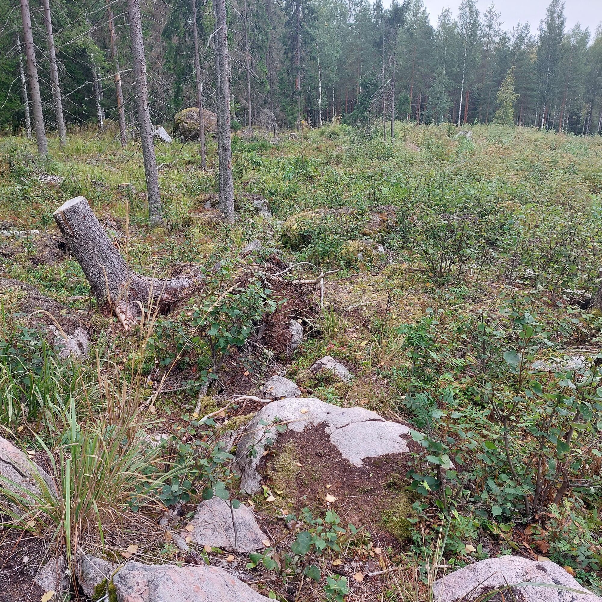
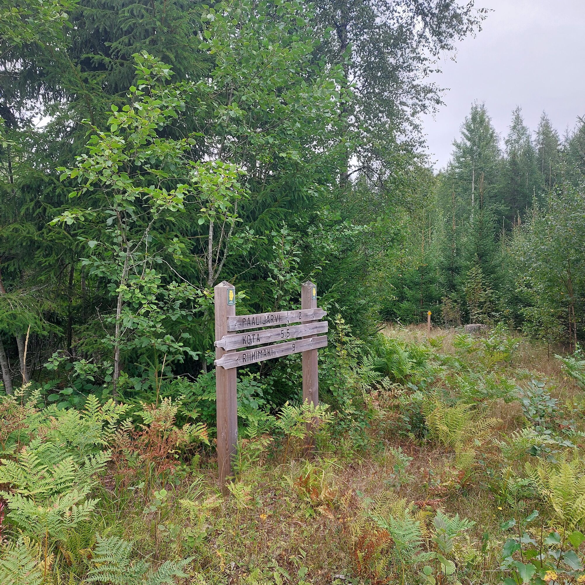
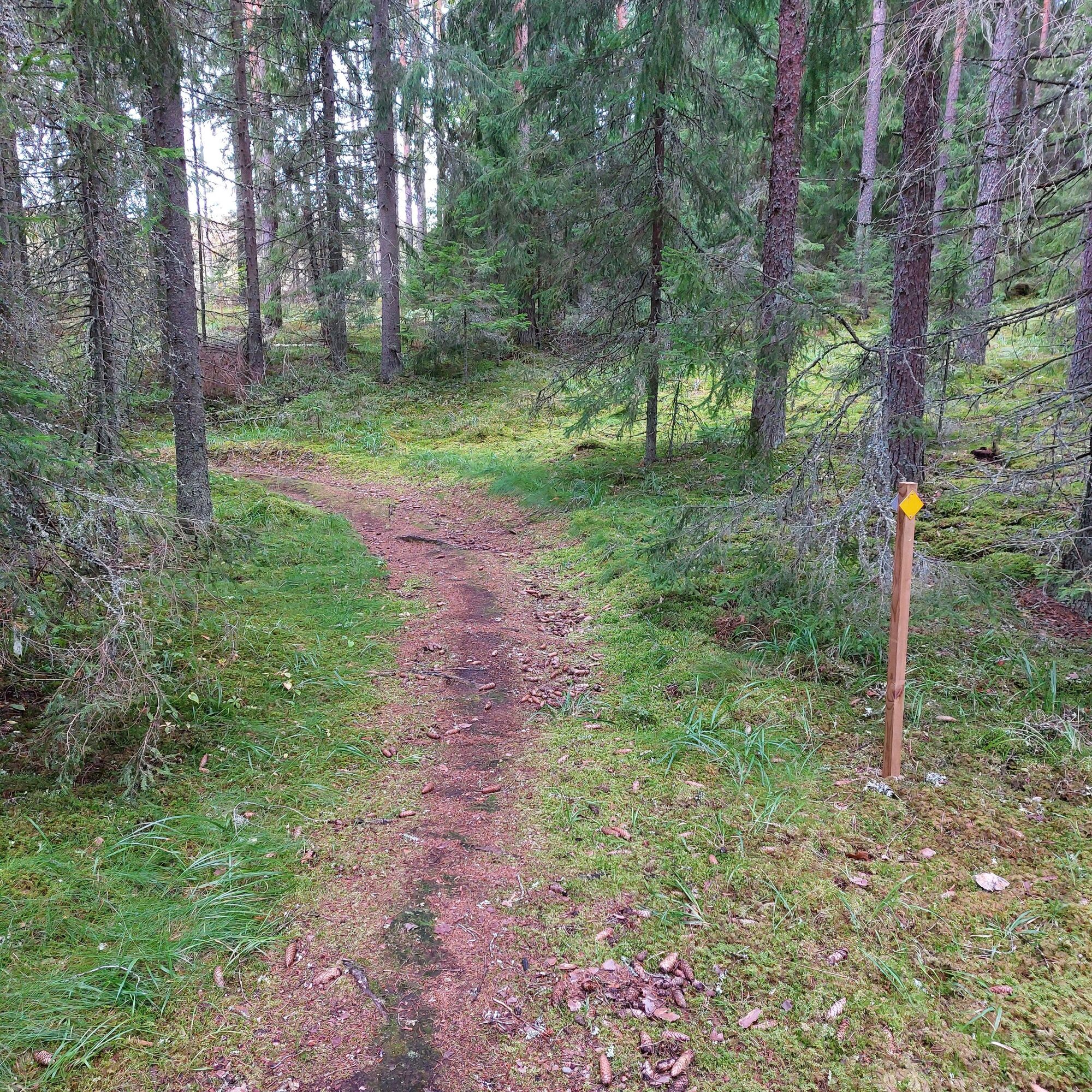
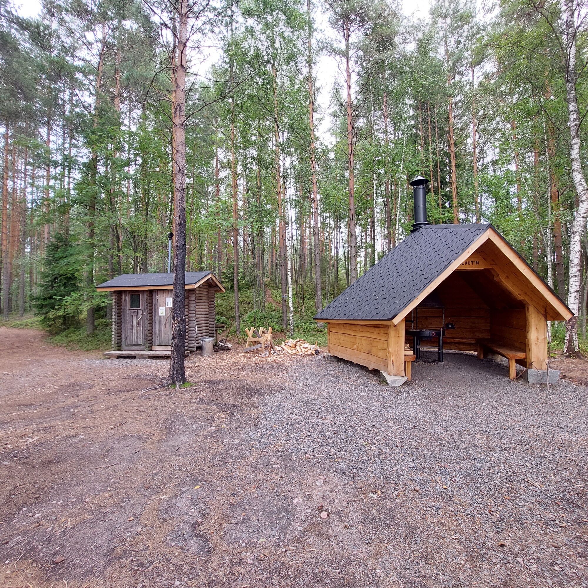

Departure from the Kormu Riutta outdoor area parking lot, from where you head towards challenging trail sections towards Paalijärvi. At the Paalijärvi junction, you can still detour to take a break at the beach. Upon reaching Mustamäentie, the route makes a loop via Mustamäki, where there is a challenging climb and descent. However, this can also be easily bypassed via the road. After Mustamäki, you can catch your breath on a gravel road section that continues all the way to the vicinity of Pitkäjärvi. From here, you start approaching the outdoor routes of Loppi church village. After Loppijärvi, you can visit the nearby old church of Loppi or take a dip at the church village swimming beach; you can also refuel using various services available in Loppi. From here begins a long and varied trail section before Huhtala lean-to, where it's good to take a short break. After Huhtala lean-to, there is a longer clearcut crossing, where the trail may completely disappear from sight late summer due to high vegetation. Upon reaching Nummenrannantie, you climb to Mansikkamäki, where the trail continues along a ridge. Then you start approaching the Poronpolku coniferous forest areas and its extensive needle trail network.
On rainy and slippery weather, there are challenging spots such as roots, wetlands, and rocky areas. Towards the end of summer, there is also a lot of vegetation, so the trail may disappear from sight in places.
Road 12 turns to Kormu Herajoentie, from where you turn to the Riutta parking lot. From Road 54, turn onto Herajoentie and then turn to the Riutta parking lot.
Starting from Loppi, you will find the Ilvesreitti parking lot next to the old church. The address is Kirkkoraitti 1.
The bus runs between Riutta - Riihimäki travel center. Check schedules on Pekola Traffic's website.
Bus 5/6 runs between Hiivola - Riihimäki railway station. Choose stop Railway Station D at the railway station. Check routes and schedules in the Matkahuolto route planner. Travel time 25 min.
You can reach Riihimäki by train from many directions. Check schedules on the VR website.
Riutta outdoor area's parking lot. Ilvesreitti parking lot starting from Loppi.
Address: Kormuntie 209, Riihimäki
End point address: Pilkutin lean-to, Eräläntie 167-173, Loppi
S3
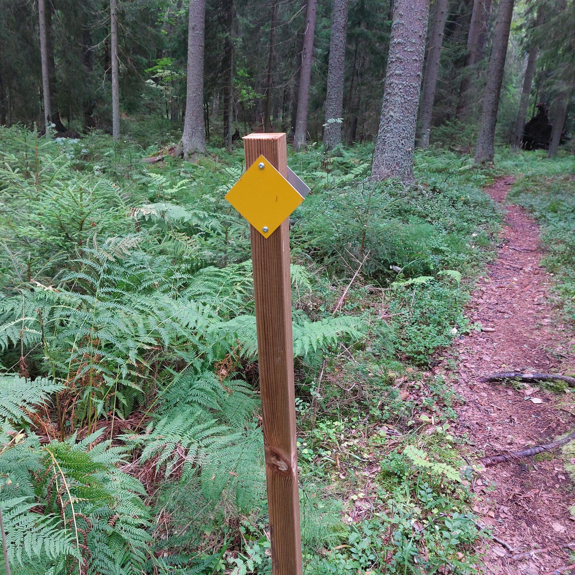
The route is marked on the terrain with yellow Ilvesreitti symbols.
https://hame.fi/matkailua/luonnollisesti-hameessa/hameen-ilvesreitti/
You can detour the Ilvesreitti to Paalijärvi beach, where there is also a lean-to shelter.
Priljubljeni izleti v okolici
-
Kaartjoki paddling route
Kajak / Kanu 10.8 km -
Luutaharjun Samo 12km
srednjaPohodništvo 11.9 km -
Poronpolku mountain biking route
težkoMountainbike 42.7 km -
Toivanjoki paddling route
Kajak / Kanu 8.91 km -
Pikku-Samo 3,5 km
Pohodništvo 3.39 km -
Hämeen Ilvesreitti Riutta-Hirvijärvi 30 km
Pohodništvo 30.0 km -
Paalijärvi Hämeen Ilvesreitti
Pohodništvo 10.2 km -
Hämeen Ilvesreitti Syvälahti-Nummela
srednjaPohodništvo 8.40 km -
Ilvesreitti vaellus + yöpyminen Komionlammen telttailualueella
Pohodništvo v daljavo 10.7 km -
Riihimäki Kormu-Poronpolku 45.3km
težkoPohodništvo 44.1 km
Pohodništvo in sledenje


Ne zamudite ponudb in navdiha za naslednje počitnice
Vaš e-poštni naslov je bil dodan na poštni seznam.





