





Vorlokki mountain bike route 13.3 km, Ukkohalla
Stopnja težavnosti: S3
The Vorlokki mountain biking route follows the base of the Vorlokki hiking trail. The route initially climbs up the slope to the top of Small Tuomivaara and passes through the protected area of the old...
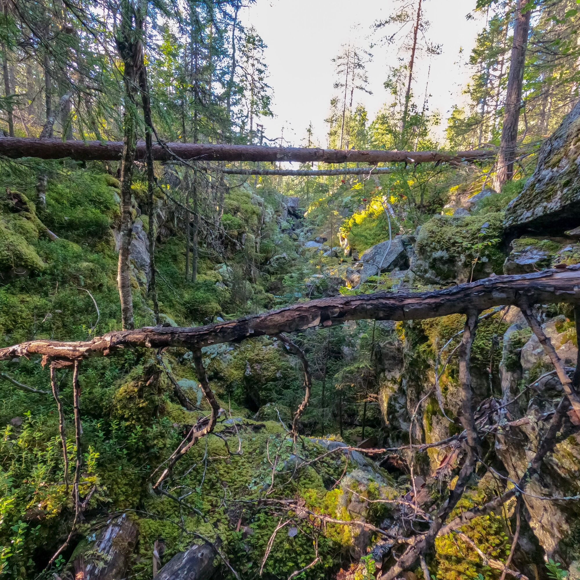
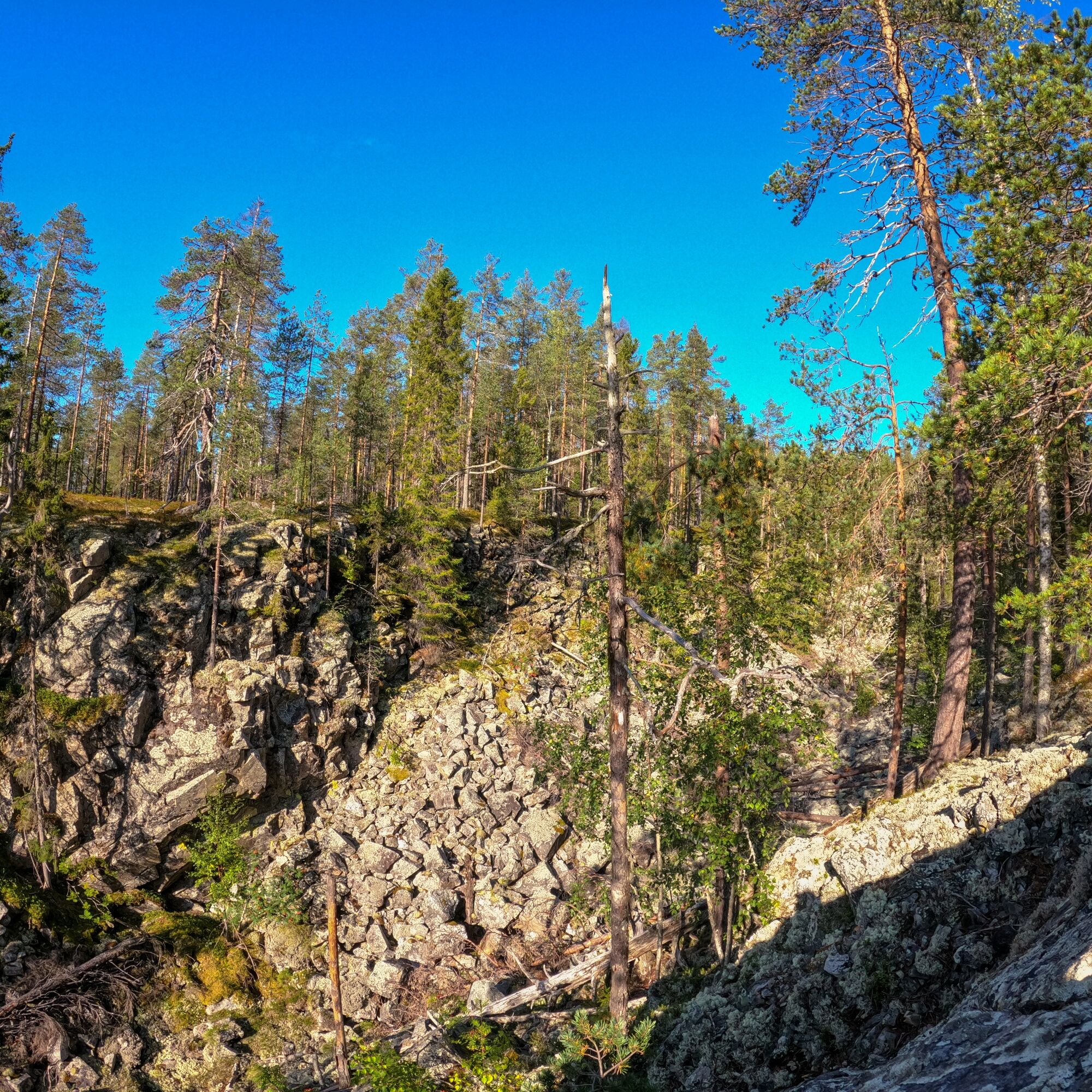
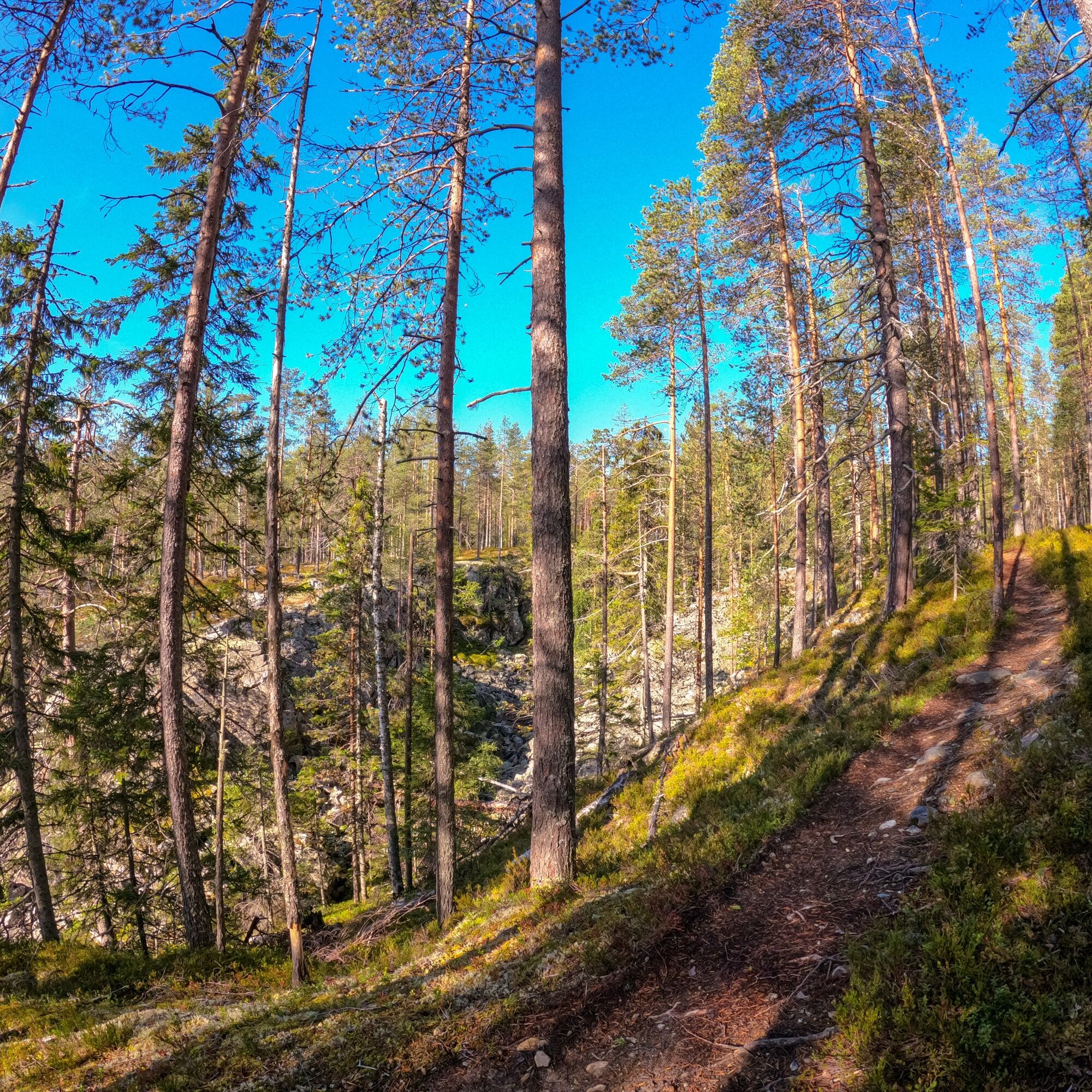
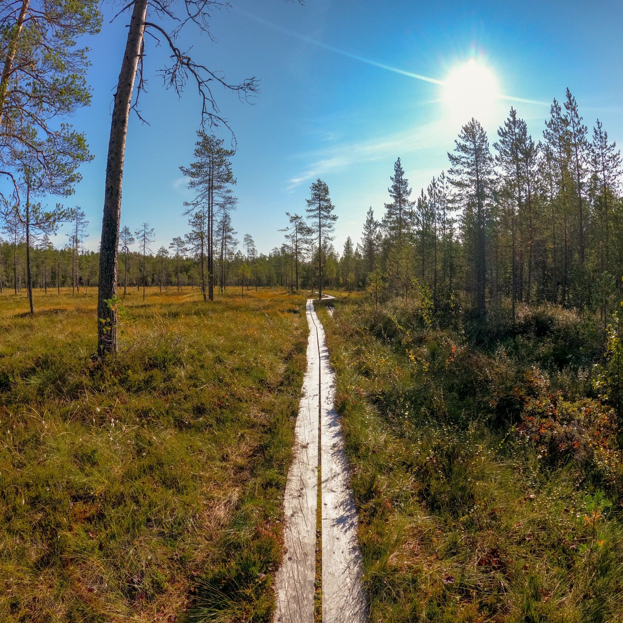
The Vorlokki mountain biking route follows the base of the Vorlokki hiking trail. The route initially climbs up the slope to the top of Small Tuomivaara and passes through the protected area of the old forests of Vorlokki. The route descends to the Vorlokki canyon partly along a gravelled path, with the most challenging sections for cycling being before and after the canyon. From Vorlokki, the route descends down to the Liete River at the foot of Small Tuomivaara and passes through peaceful bog areas and diverse forest back to Ukkohalla. The final part of the route offers especially fast and well-maintained heath terrain to ride on.
The route is technically challenging and requires previous mountain biking experience. Especially in the Vorlokki canyon area, the route has many sharp rocks and roots, so it is not advisable to try to ride all sections. There are also elevation changes and steep descents. An enjoyable route for those with previous mountain biking experience!

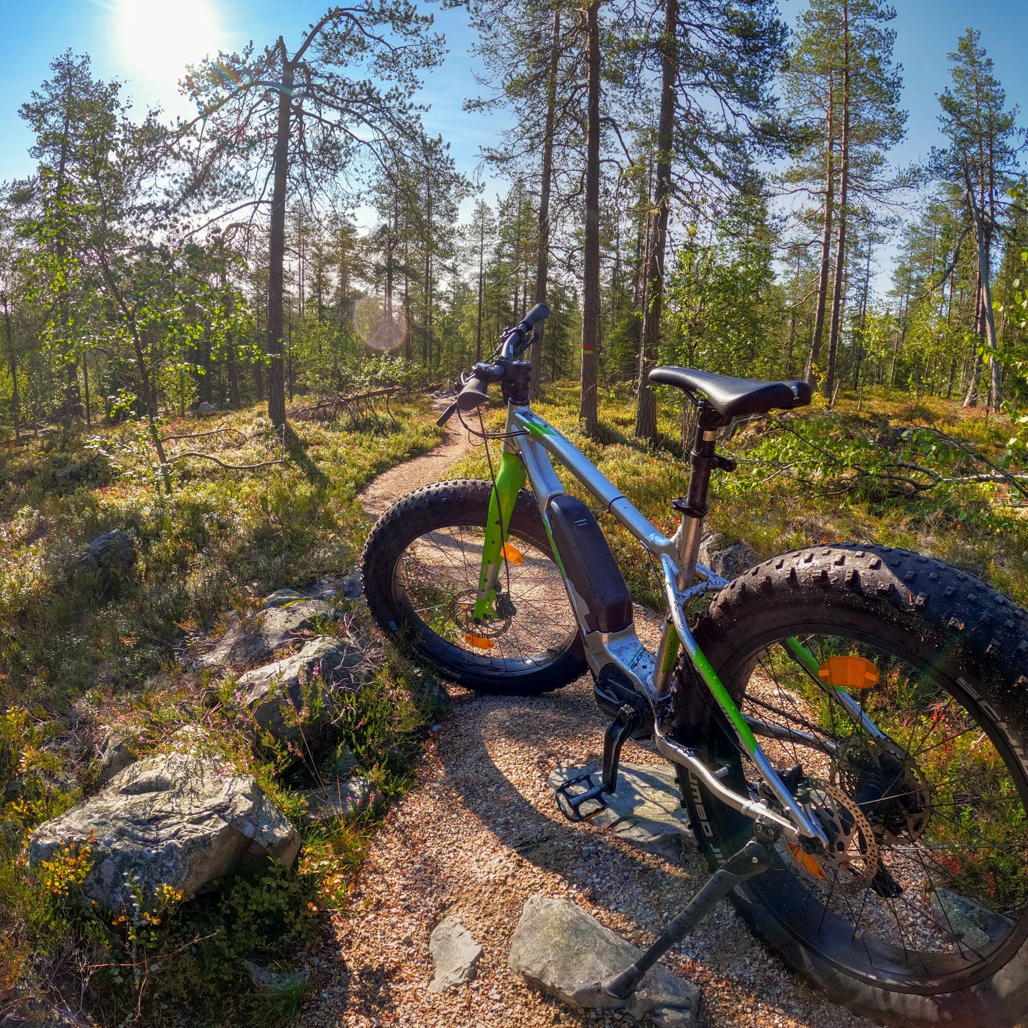
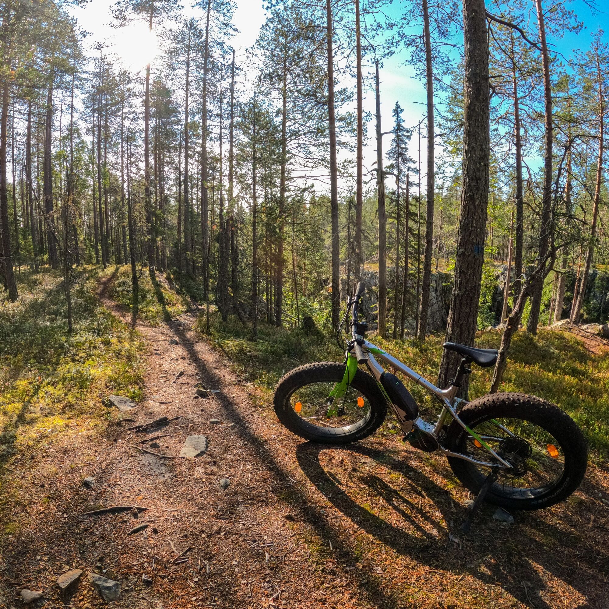
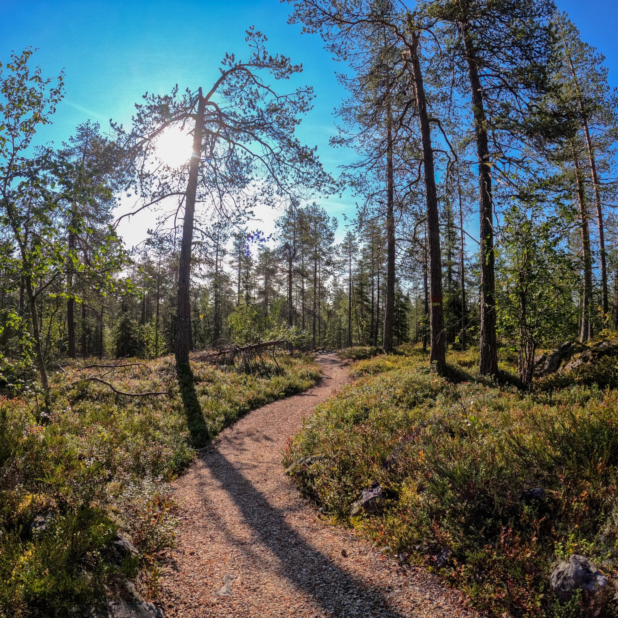
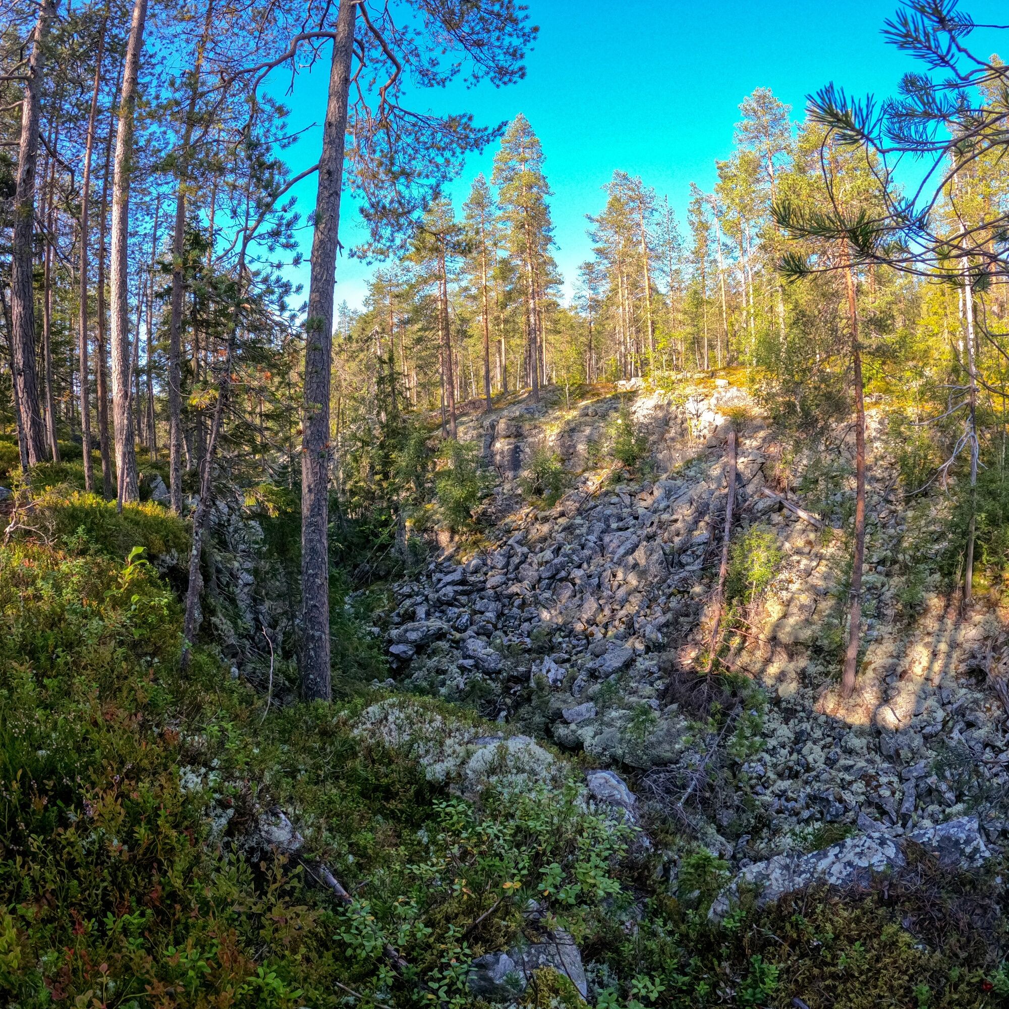
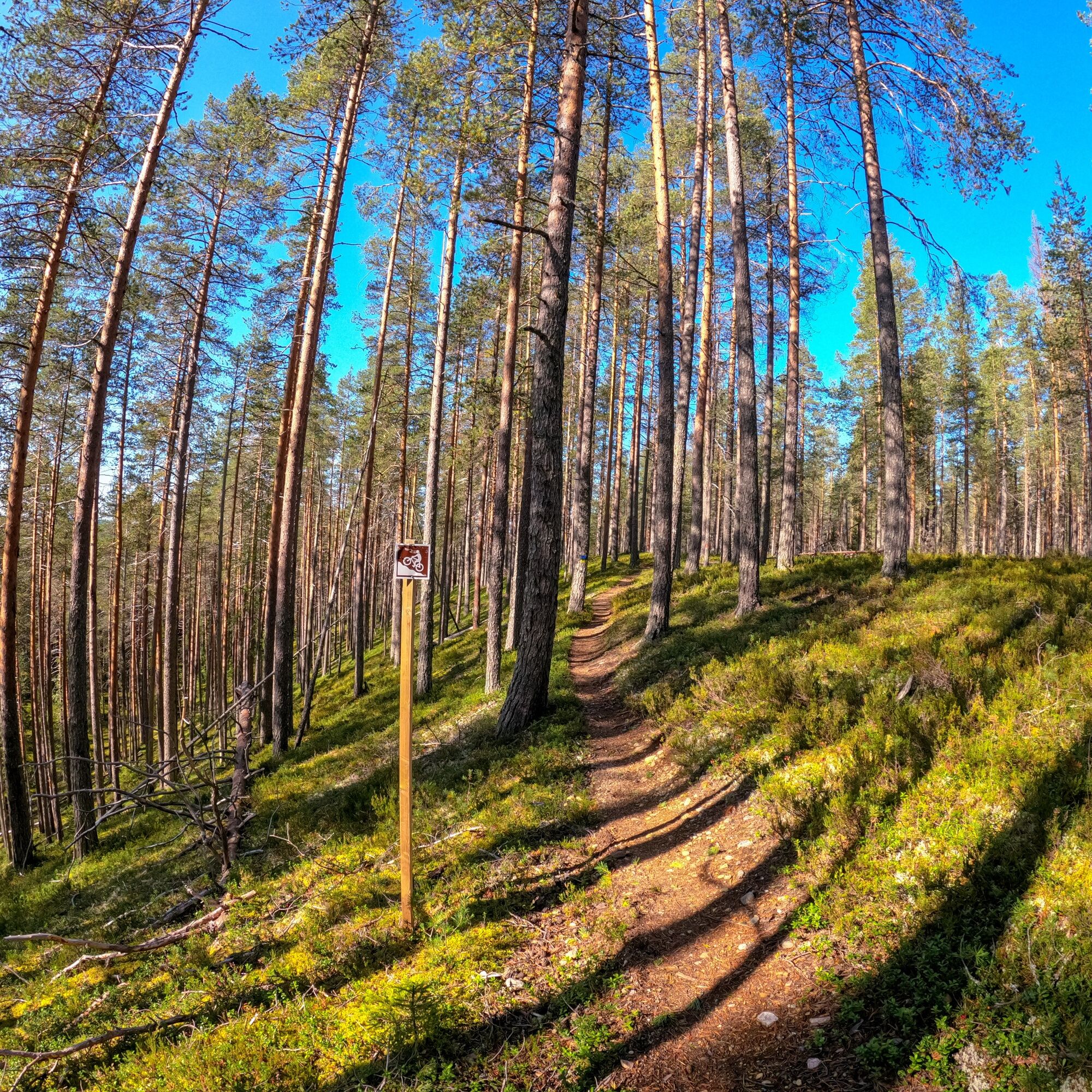

The Vorlokki route is recommended to be ridden clockwise. When riding clockwise, the route starts by climbing the rightmost ski slope when viewed from below. At the beginning, you pass by the spa restaurant building and move into the slope. The ascent to the top of the Small Tuomivaara is challenging, with an elevation difference of about 150 meters. The tough climb is rewarded with stunning fell views from above.
At the top of Small Tuomivaara, there is a signpost guiding towards the Vorlokki canyon. On the fell summit, the route initially follows the base of an old illuminated ski track, until after about a kilometer, the trail turns at an intersection into a narrower spruce forest. After about 2 kilometers, you reach the northern end of the Vorlokki canyon. At this point, the route has sharp-edged rocky terrain where it is advisable to walk your bike. About 100 meters past the northern end of the canyon, there is an intersection where you turn left and immediately after another intersection where you turn right (at this point the route diverges from the hiking trail). The route follows the canyon for about half a kilometer.
From the Vorlokki canyon, the route descends through spruce forest down to the bank of the Liete River and continues following the river to the Paskokoski lean-to shelter. The rapid itself is about two hundred meters away. From the shelter, it is about a kilometer to the Vorlokki rental cabin, passing through the beautiful Hongikonsuo bog on boardwalks. The path does not actually go through the cabin yard, but detours there are possible. There is also a campfire site in the yard.
From the rental cabin, the route first goes through varied forest and bog scenery until after just under two kilometers you come across a high esker. You climb to the top of the esker next to long wooden stairs - try to ride all the way up! The trail runs along the dry heath on the east bank of the Liete River for a couple of kilometers to the junction of the Kokko esker route.
From the junction, turn right towards Ukkohalla. The last part of the route initially leads the rider through dry heath, then through the Pirttilammi and Hytti bogs towards the shore of Syväjärvi and the center of Ukkohalla.
Da
Clothing suitable for the weather conditions.
A cycling helmet and appropriate protective gear.
The path passes through rocky and rooty terrain in places.
It is advisable to bring drinks and snacks, as there are no services along the route.
Also advisable to bring a first aid kit.
If you get into an emergency during your trip, for example if you get lost, injured, or notice a forest fire, call 112 and make an emergency call.
It is allowed and advisable to walk the bike through more challenging terrain sections.
The route partly follows the same path as the Vorlokki hiking trail – note that there are also hikers on the route.
From the south and Kuusamo, follow Highway 5 to Hyrynsalmi, where you turn onto Puolanka Road 891. Continue for 14.3 km and turn left at Väisälä village onto Hallanmaan Road. Drive straight for 3 km, then turn left onto Hallanmaan Road and continue straight for 1.5 km until you reach the center of Ukkohalla.
From Rovaniemi and Oulu direction, via Puolanka, take Highway 78 and turn left 6.5 km after Puolanka onto Hyrynsalmentie 891 towards Hyrynsalmi. Drive straight for 31 km, then turn right at Väisälä village onto Hallanmaan Road. Drive straight for 3 km, then turn left onto Hallanmaan Road and continue straight for 1.5 km until you reach the center of Ukkohalla.
When using Google Maps, it is advisable to add Rasinkylä as a waypoint to get the correct route.
You can reach Ukkohalla by bus from Kajaani. Please note missing the Lauttakylä bus stop, from where there is still about 2 km to Ukkohalla.
Please note that public transport is not the optimal option to reach this route.
Free parking Ukkohallantie 18
S3
There is also the Vorlokki rental cabin almost along the route, where an overnight stay adds a new dimension to the trip.
Priljubljeni izleti v okolici
-
Kokko Harju hiking route to Komulanköngäs 9 km, Ukkohalla
srednjaPohodništvo 8.97 km -
Latvavaara mountain biking route 10 km, Paljakka - Puolanka
srednjaMountainbike 10.2 km -
Ilveskota mountain biking route 16 km, Paljakka - Puolanka
srednjaMountainbike 16.4 km -
Vorlok route hiking trail 14 km, Ukkohalla
težkoPohodništvo 13.5 km -
Pienenmäen route 12.6 km, Ukkohalla
srednjaMountainbike 12.5 km -
Seitenoikea-Hyrynsalmi UKK route 14.3 km, Hyrynsalmi
srednjaPohodništvo 14.1 km -
Fell Conquest snowshoeing 2.8 km, Ukkohalla
težkoSnežni čevlji 2.86 km -
Paljakka MTB round tour 46/65 km, Paljakka - Ukkohalla
težkoMountainbike 65.2 km -
Ilveskierros 14 km, Paljakka
težkoPohodništvo 13.8 km -
Metlanmetsä mountain biking route 3.5 km, Paljakka - Puolanka
svetlobaMountainbike 3.47 km
Pohodništvo in sledenje


Ne zamudite ponudb in navdiha za naslednje počitnice
Vaš e-poštni naslov je bil dodan na poštni seznam.





