







Hiking route Bodental/Klagenfurter Hut

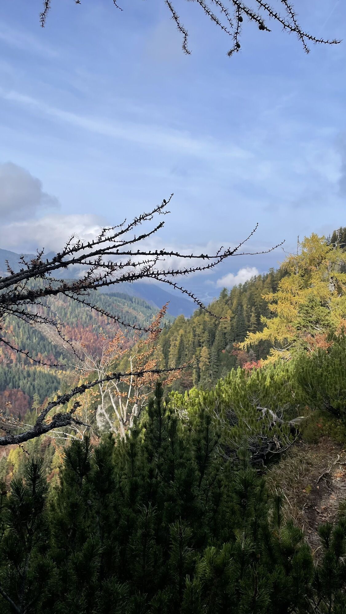
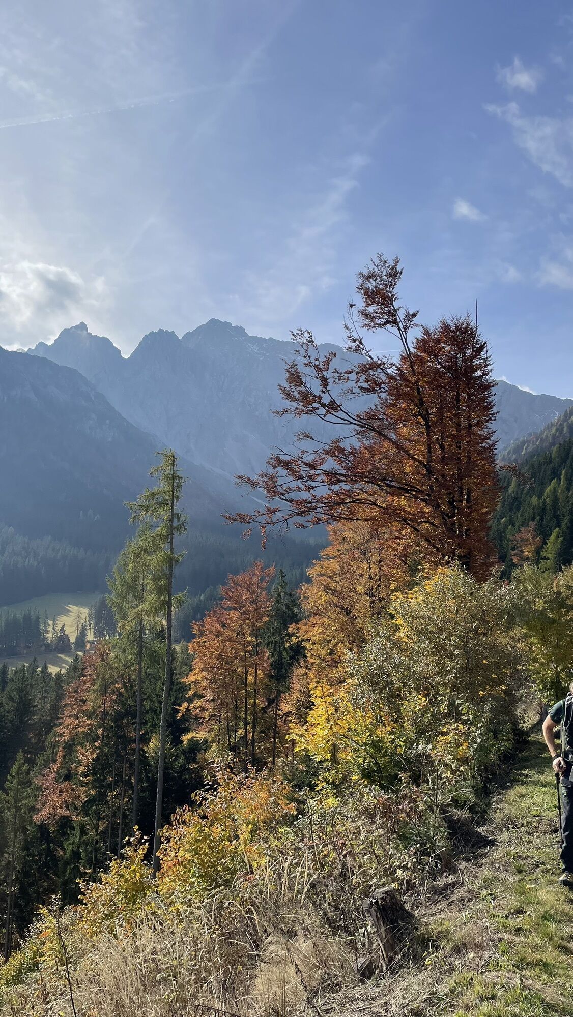
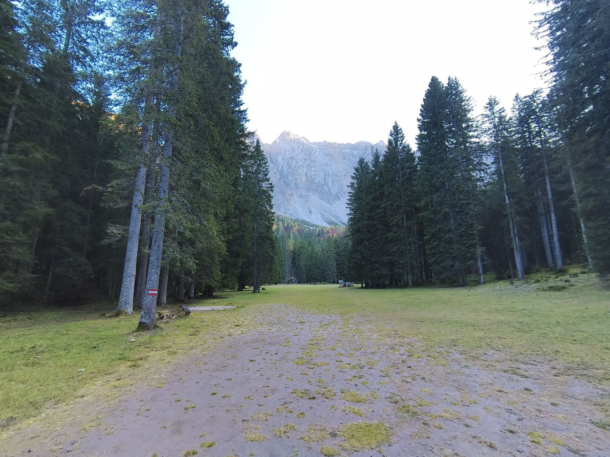
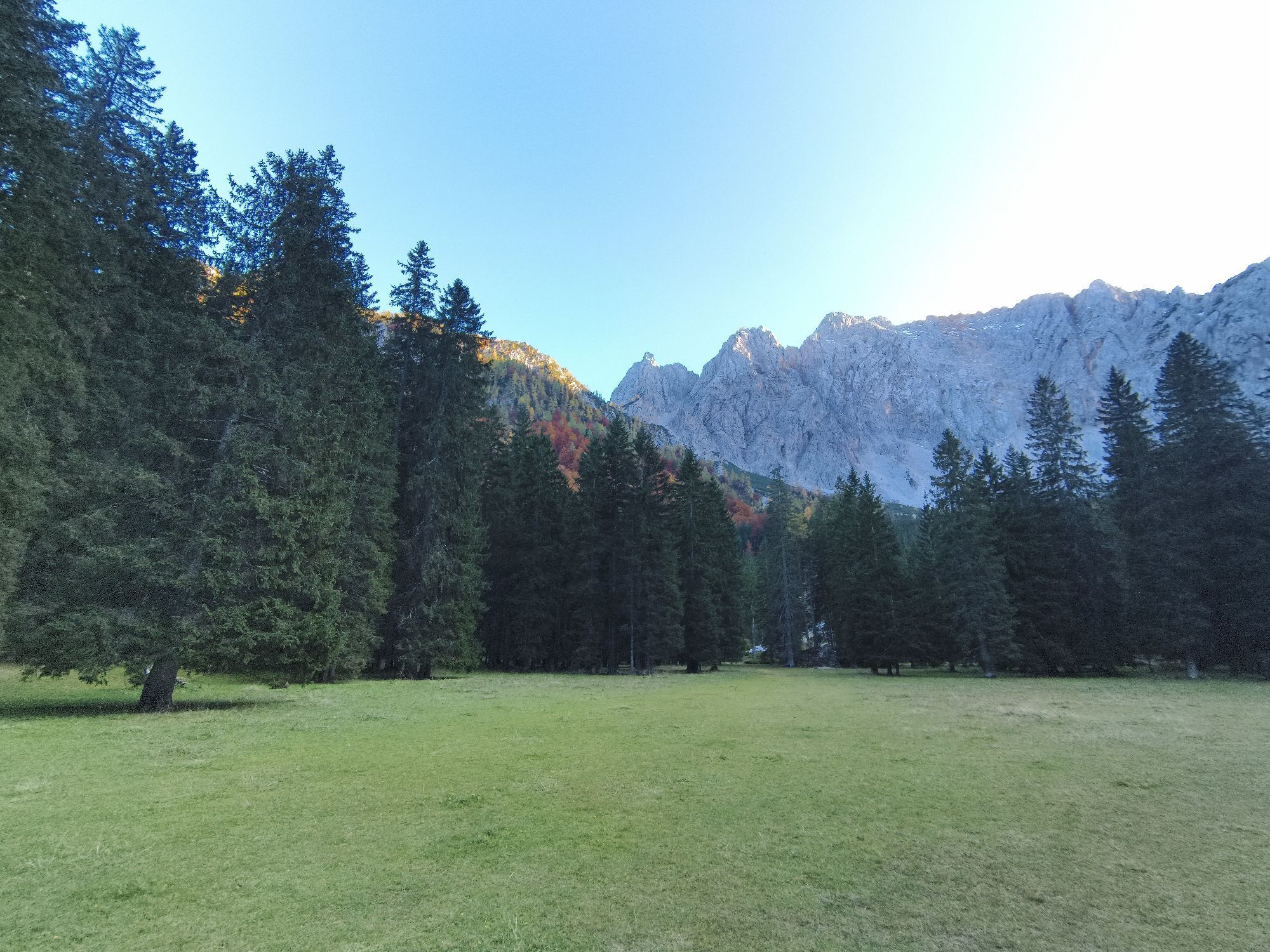
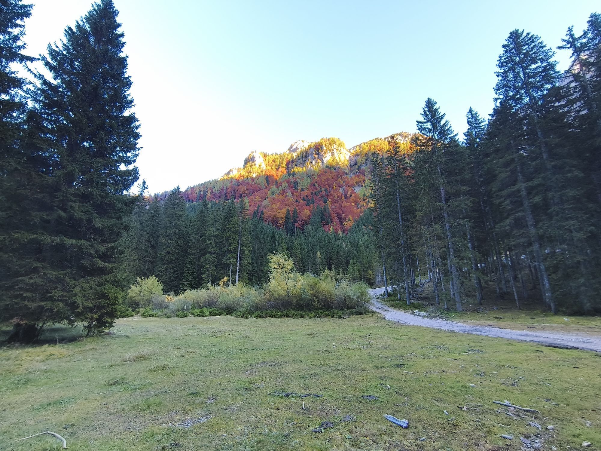
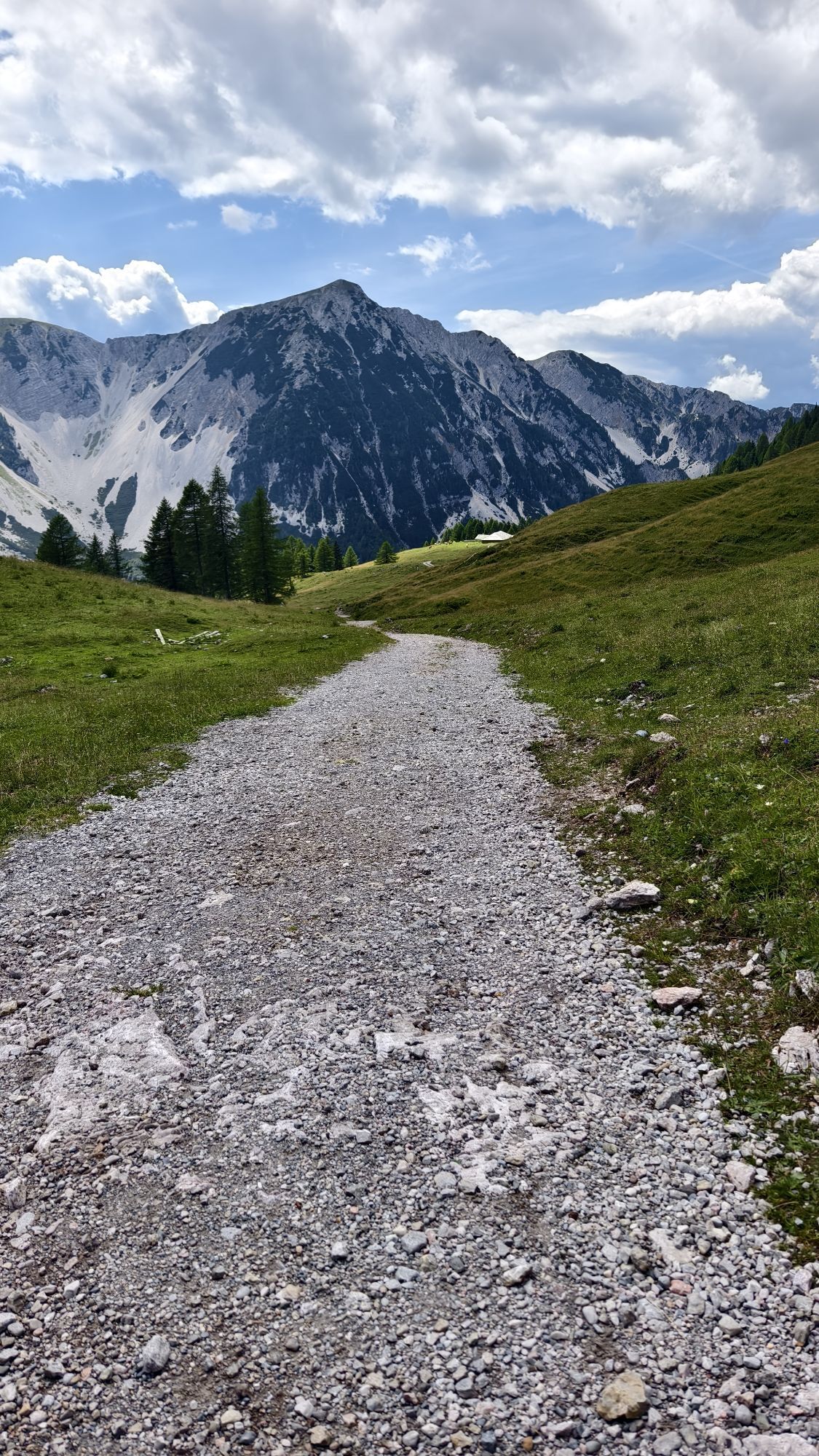
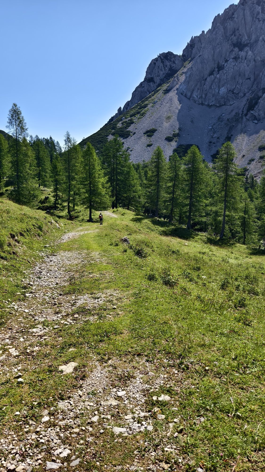
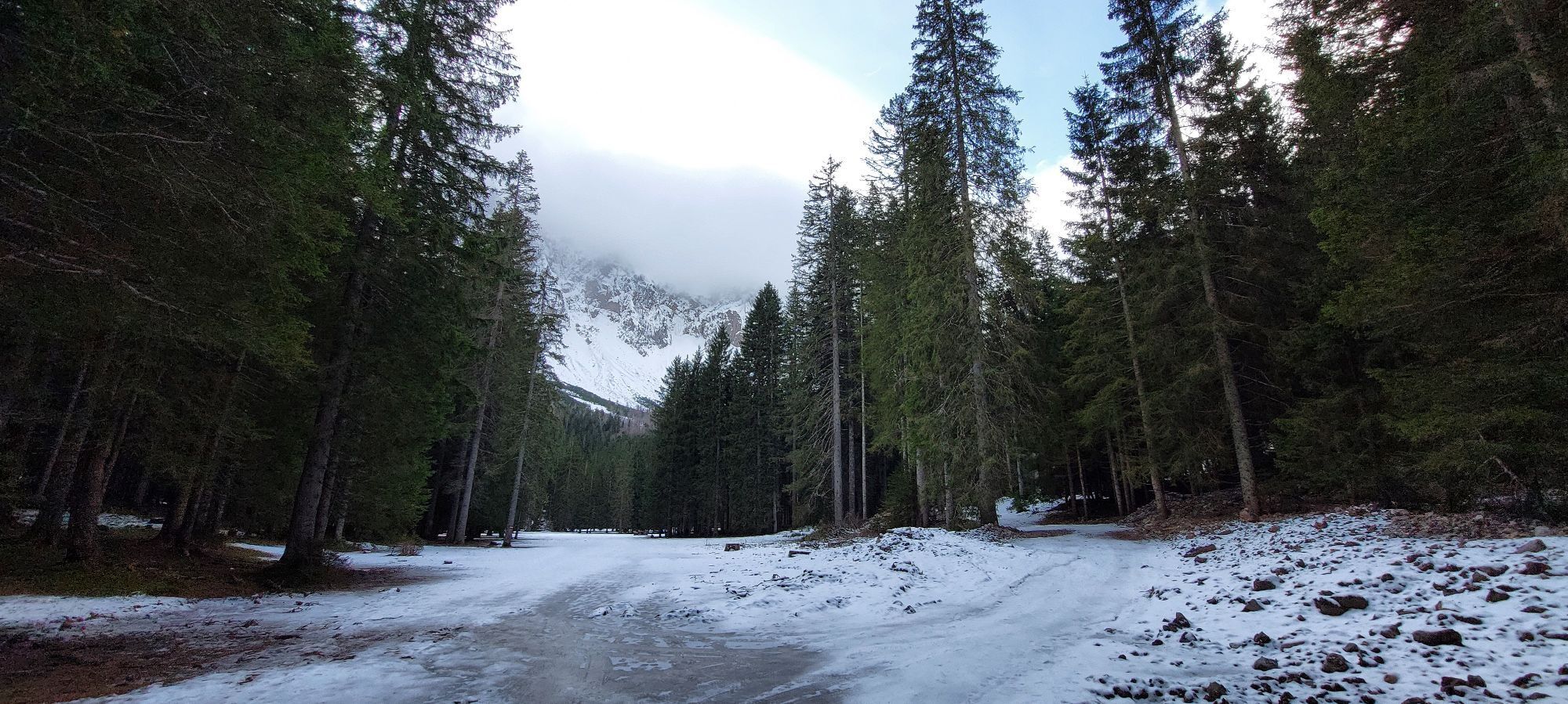
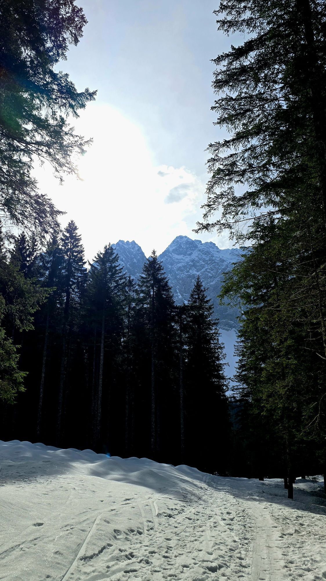
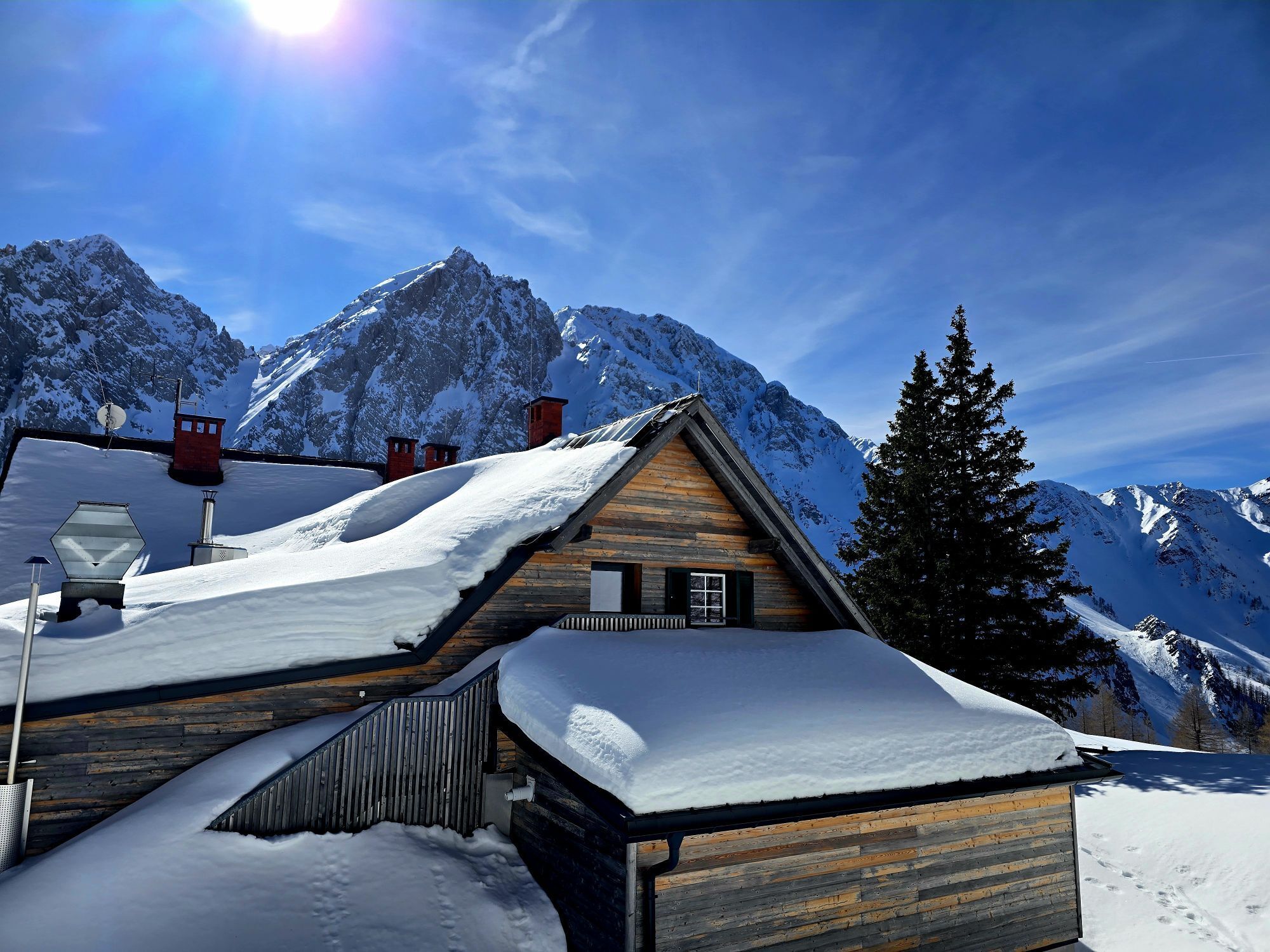
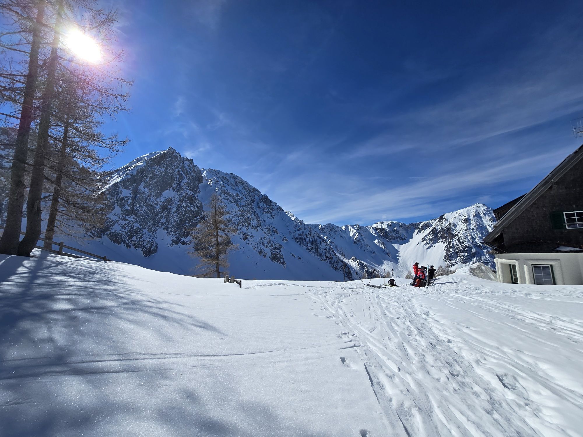
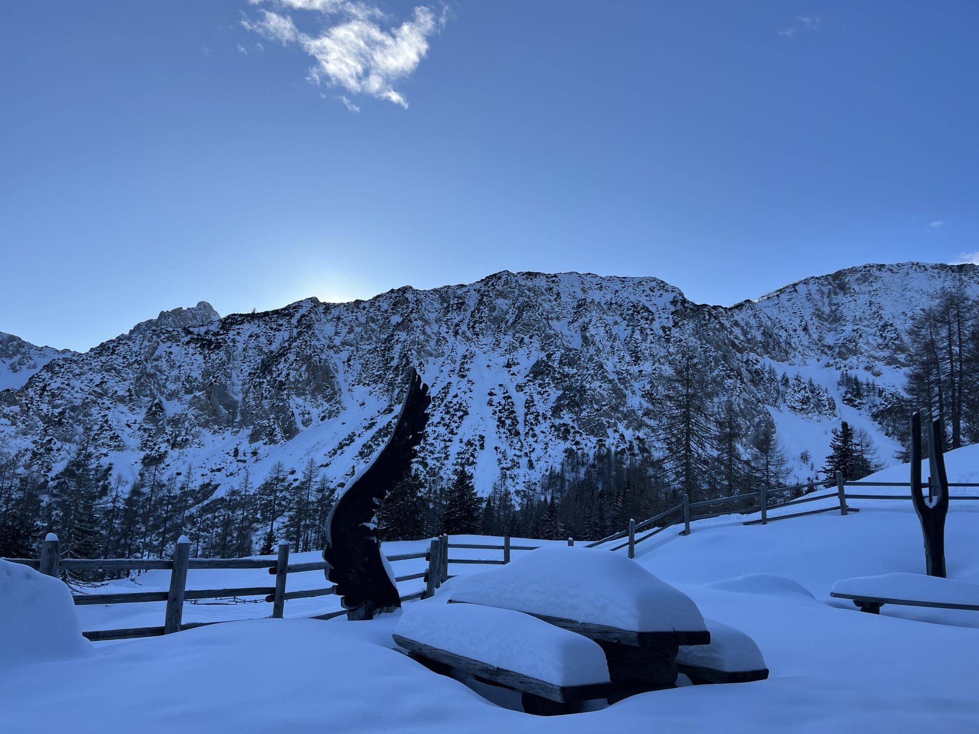
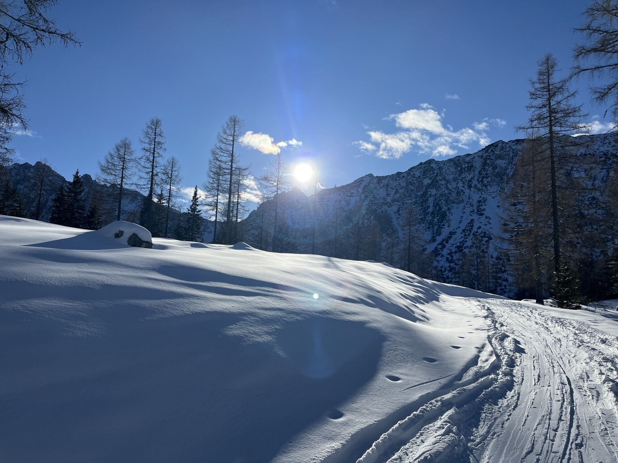
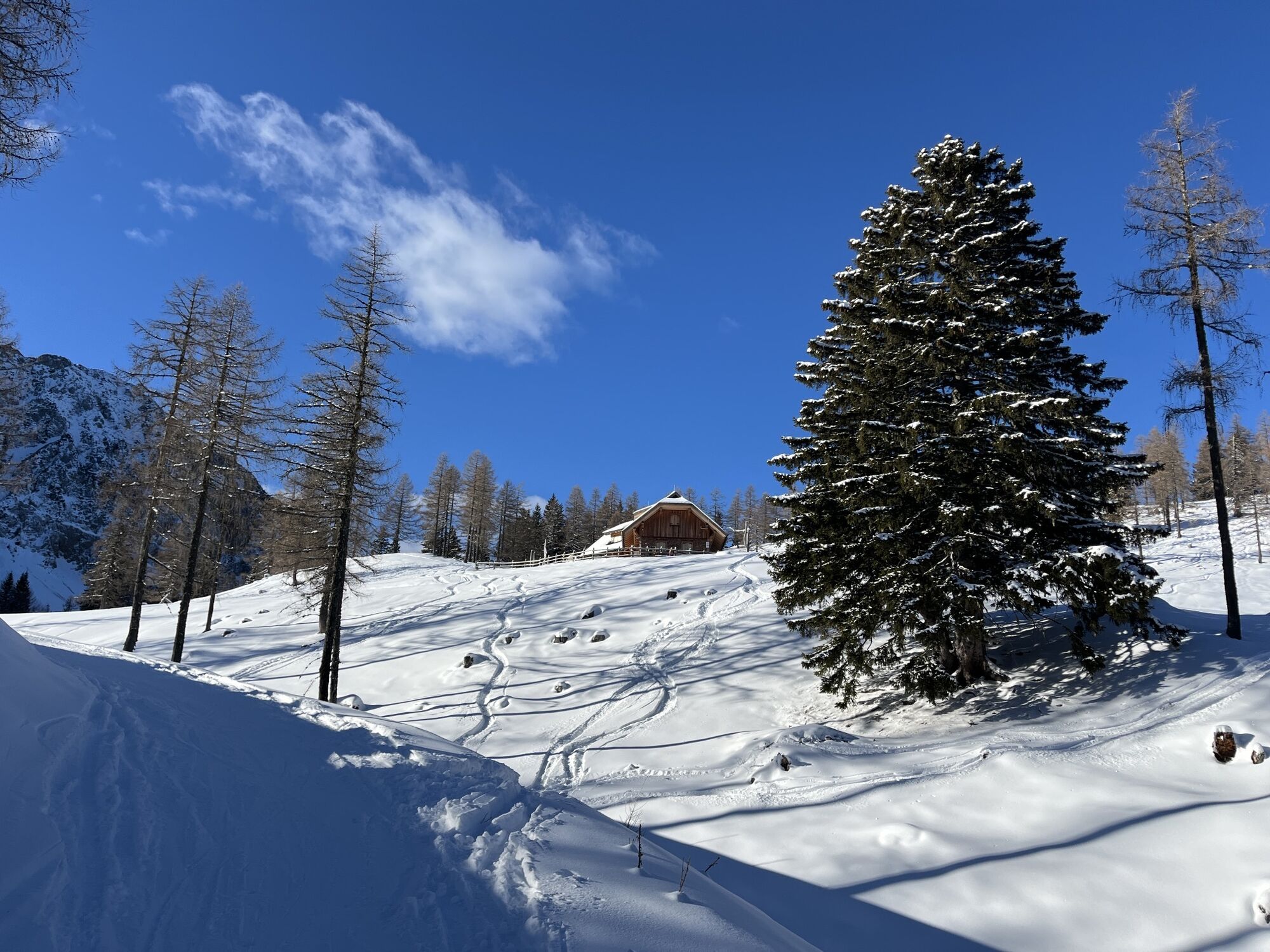
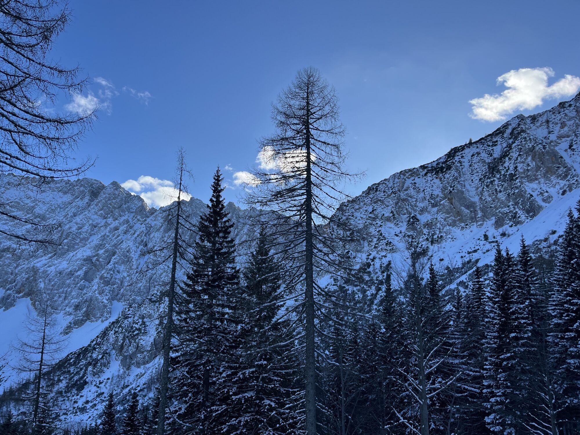
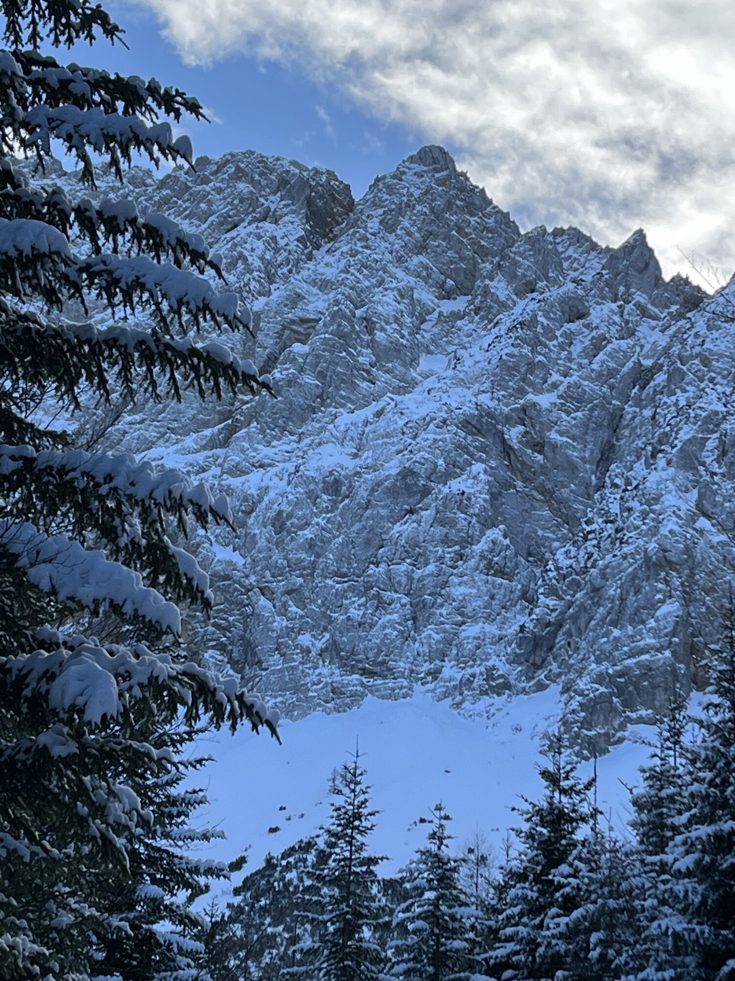
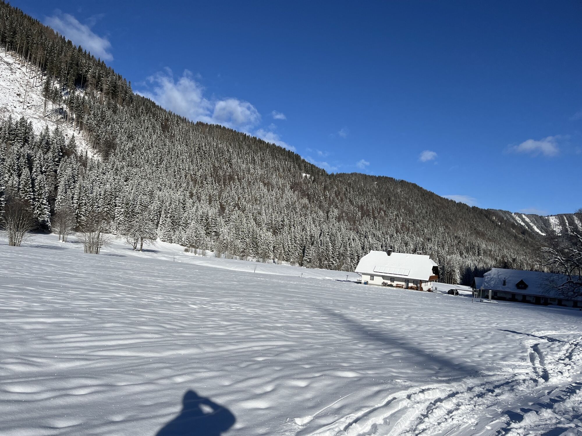
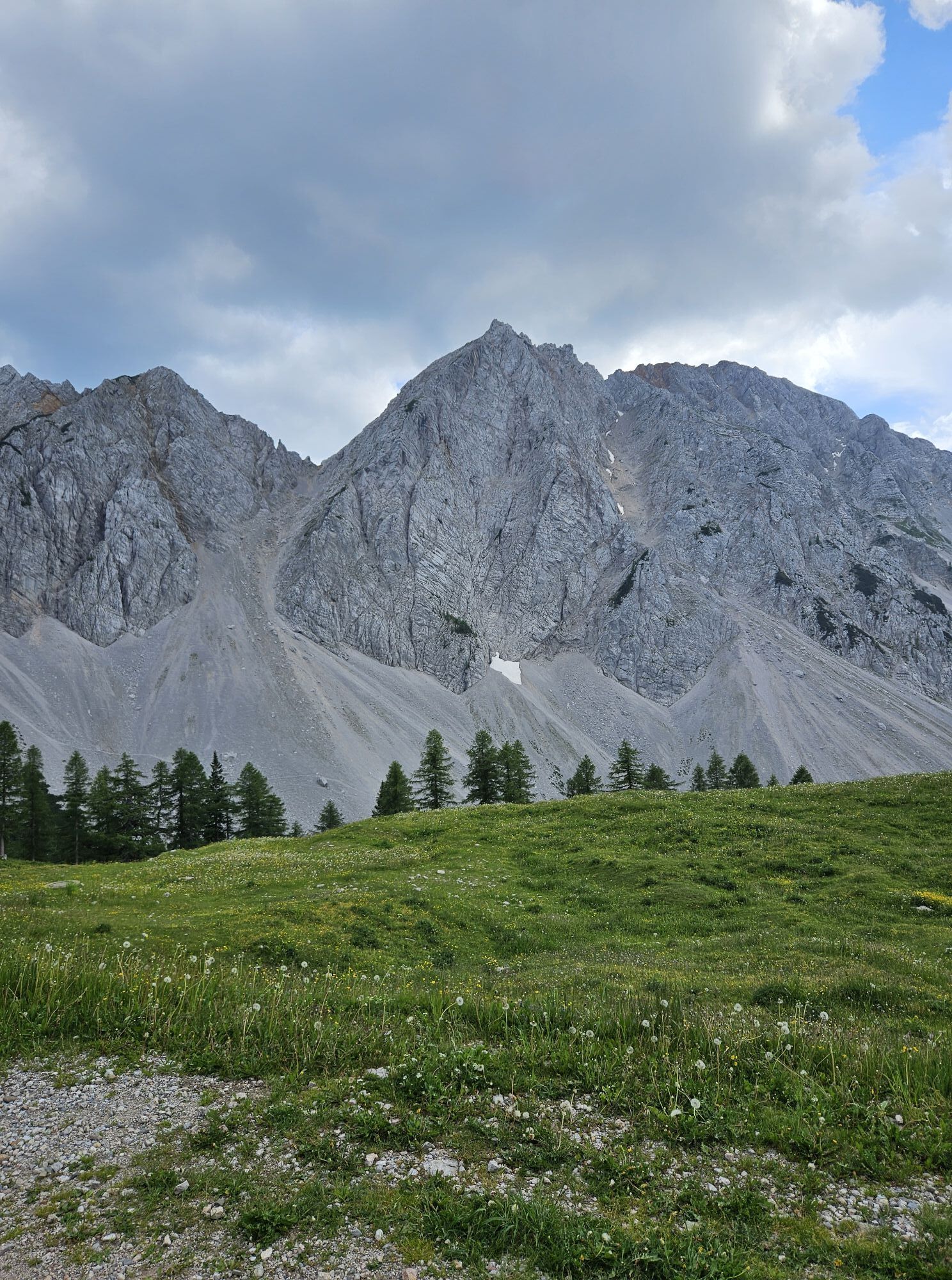
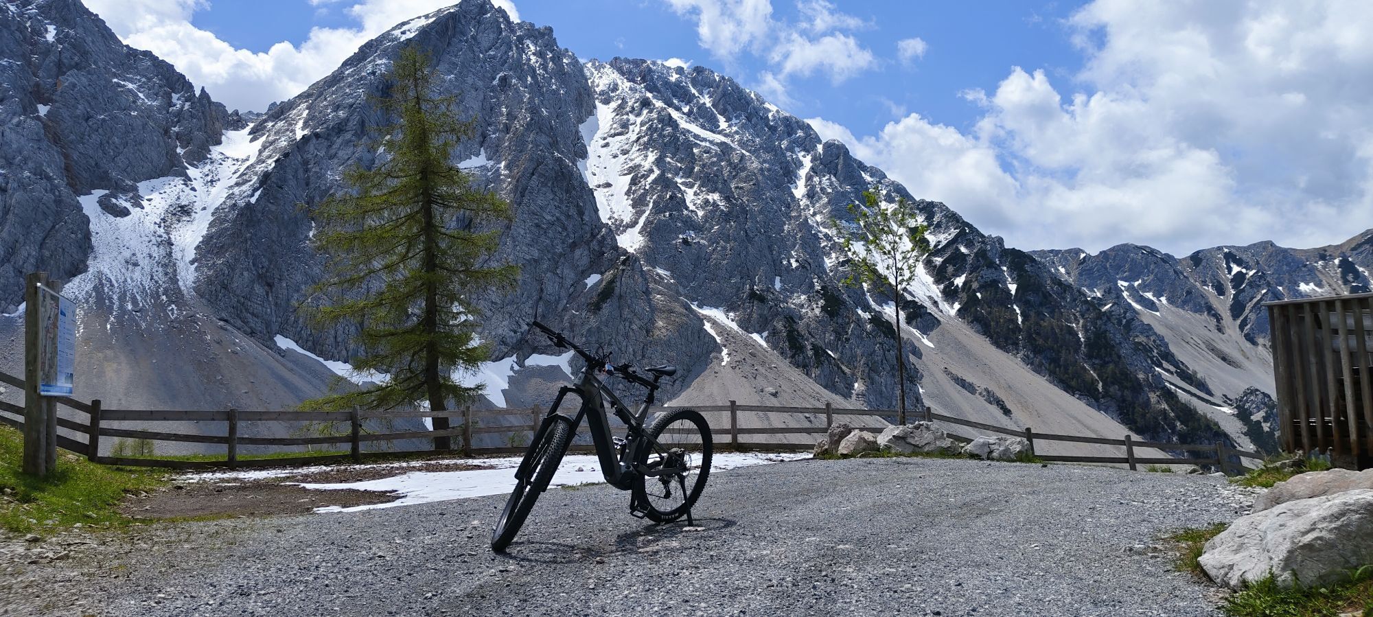
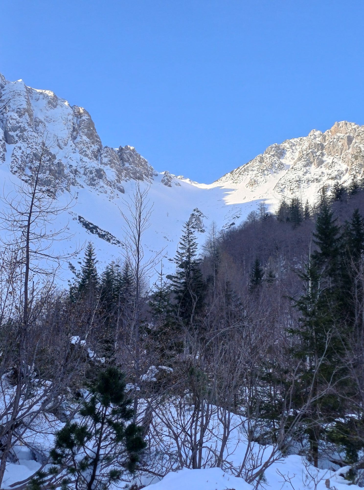
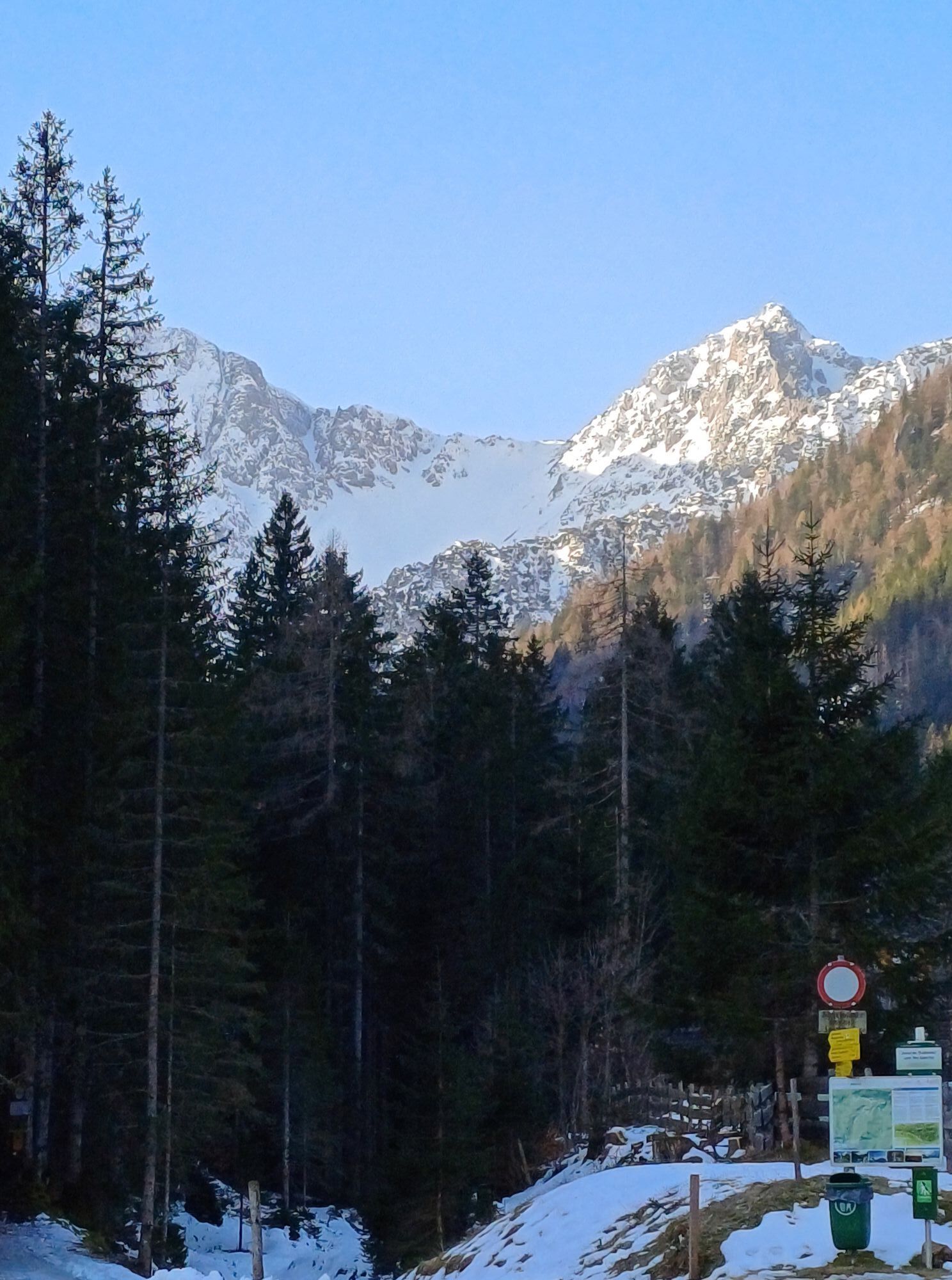
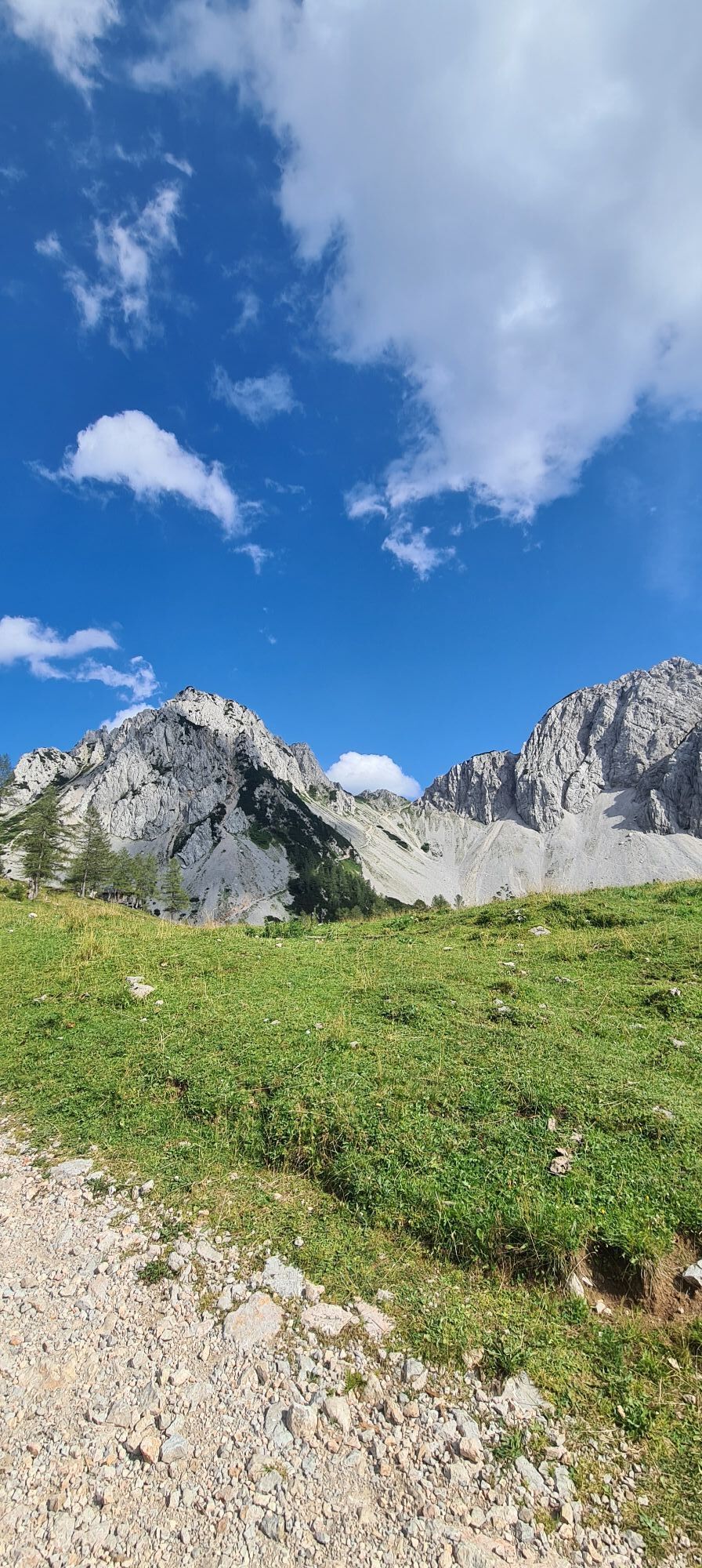
The starting point of this rather demanding hike is the idyllically located Bodental. From the Gasthof Bodenbauer, the path steadily ascends via the "Ogrisbauer" to the picturesque Ogrisalm. A suitable...
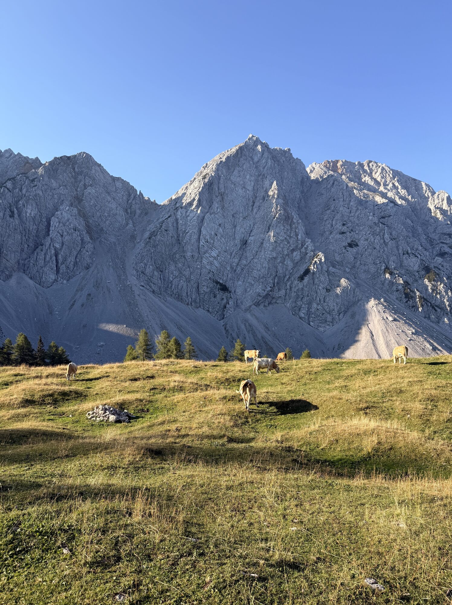
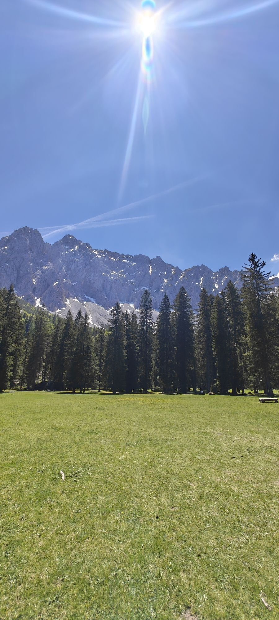
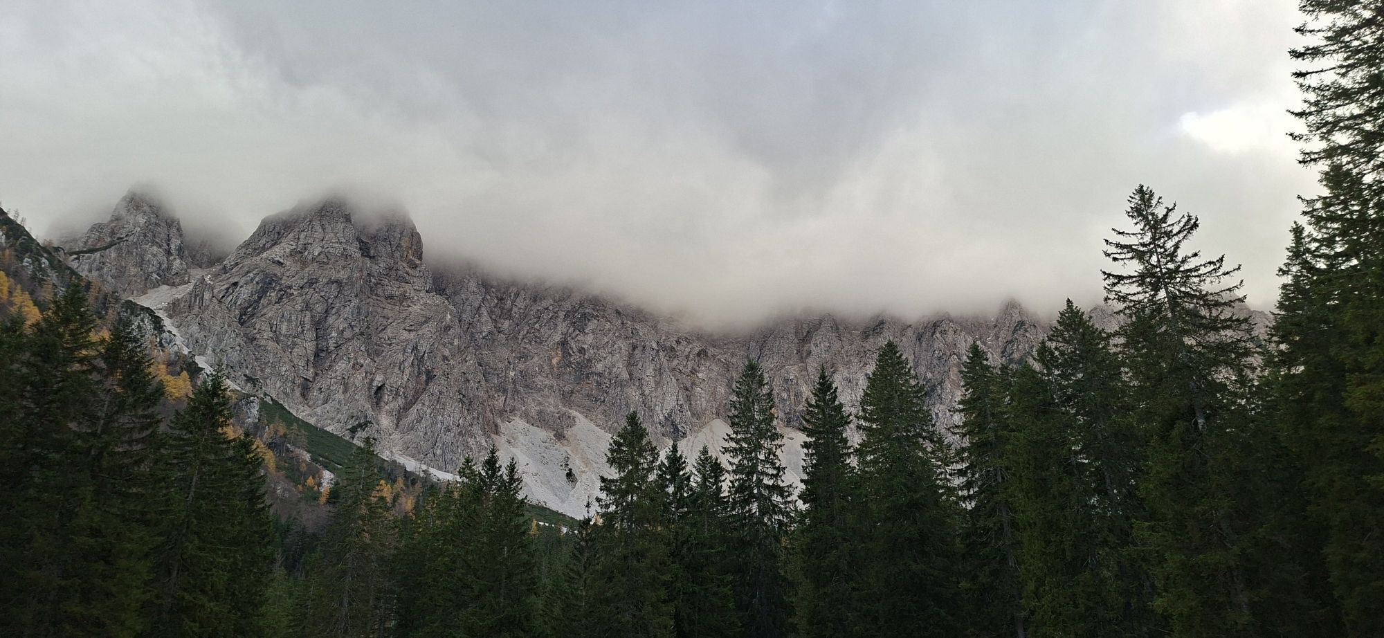
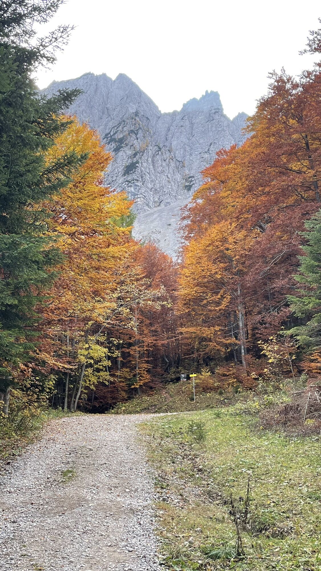
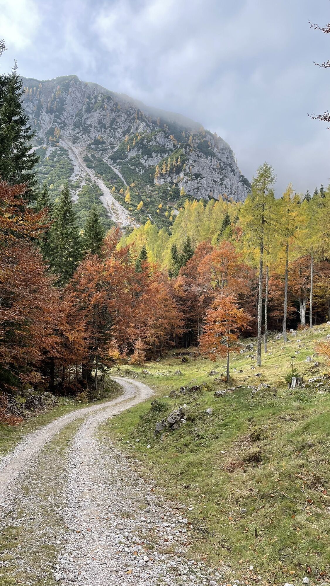
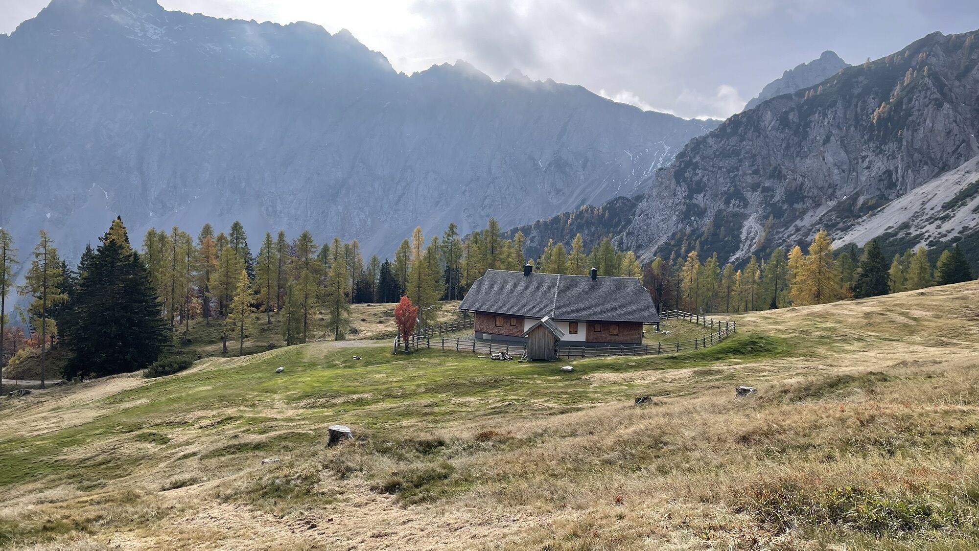
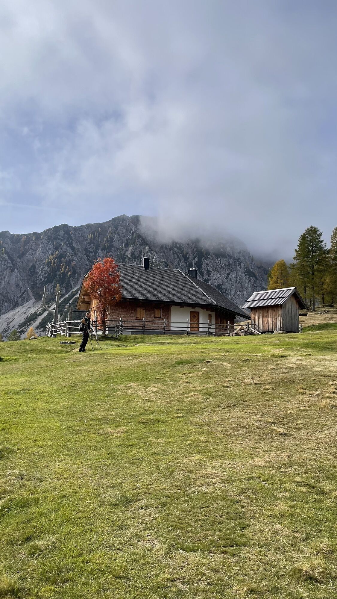
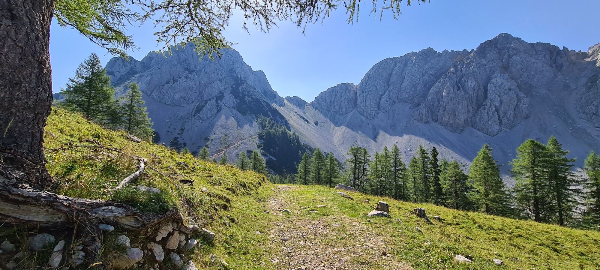
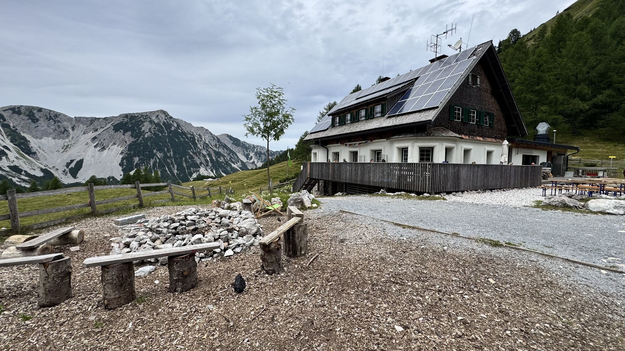
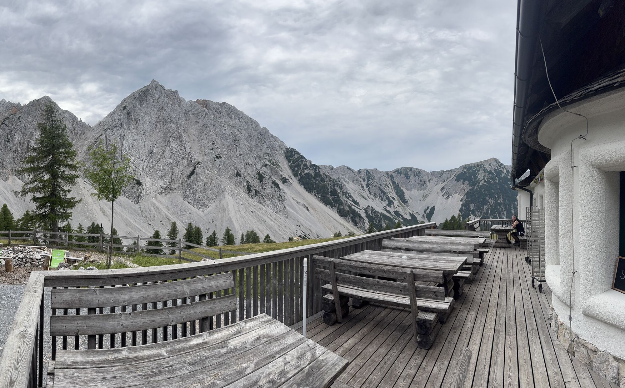
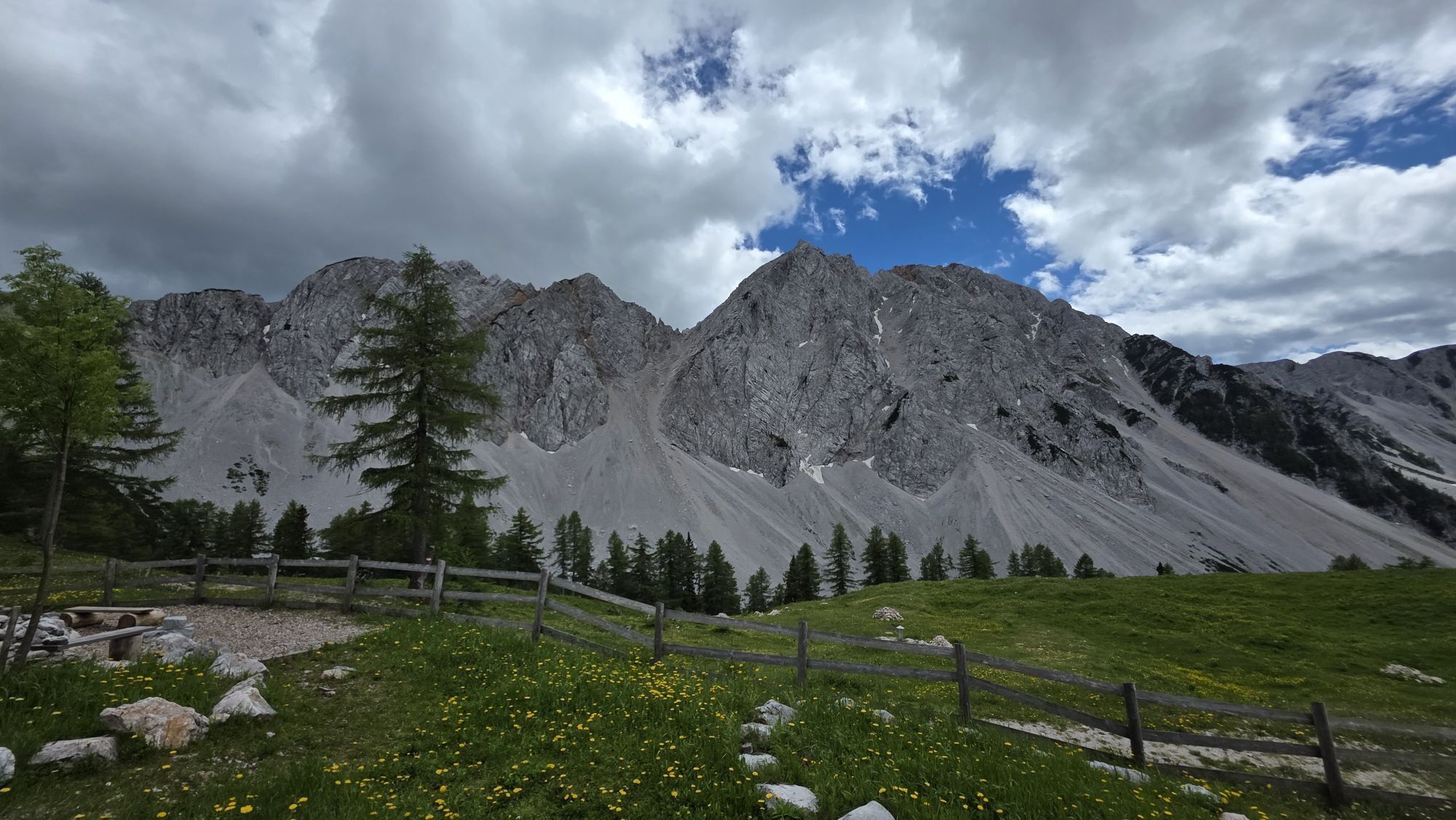
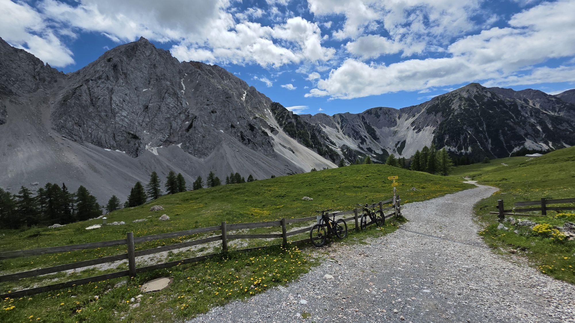
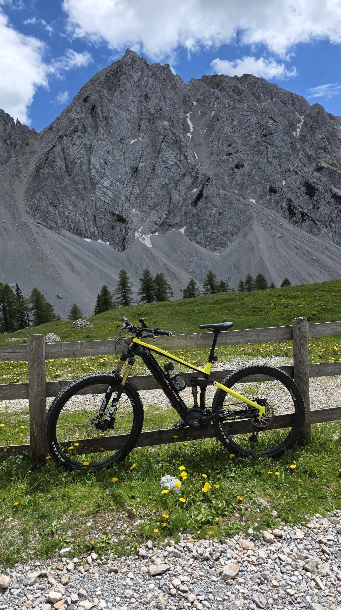
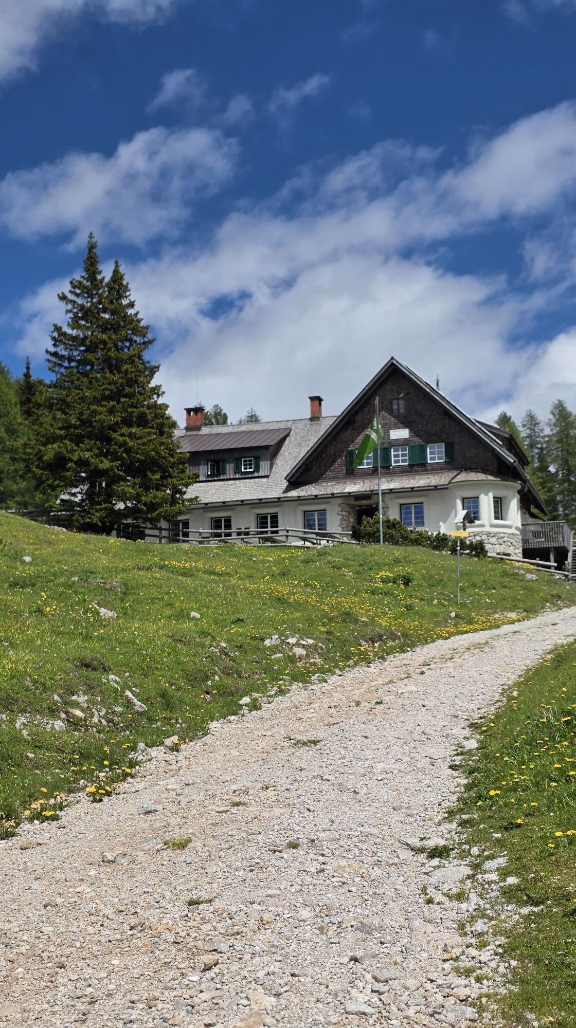
The starting point of this rather demanding hike is the idyllically located Bodental. From the Gasthof Bodenbauer, the path steadily ascends via the "Ogrisbauer" to the picturesque Ogrisalm. A suitable place for a first rest and a small refreshment. It gets exciting at the partially secured Stinze path. The "hiking book" reveals some details about the previous hikers. In the rock cirque of the Karawanks lies the Klagenfurter Hut surrounded by lush green meadows – the goal of our hike is reached. Those who still have enough stamina climb the Kosiak or the Bielschiza. Then Sigi's excellent roast pork is truly deserved. But the other regional delicacies are always worth trying!
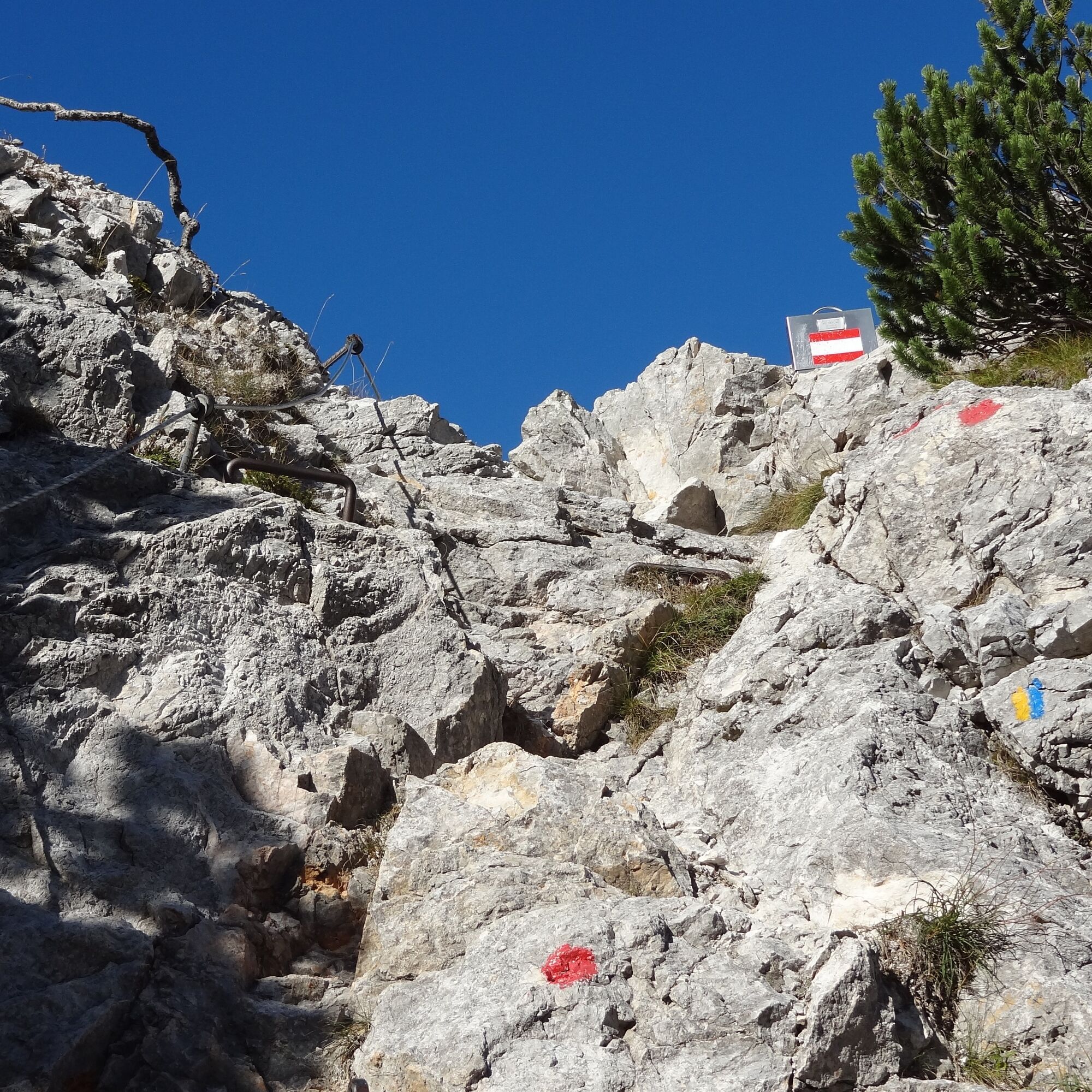
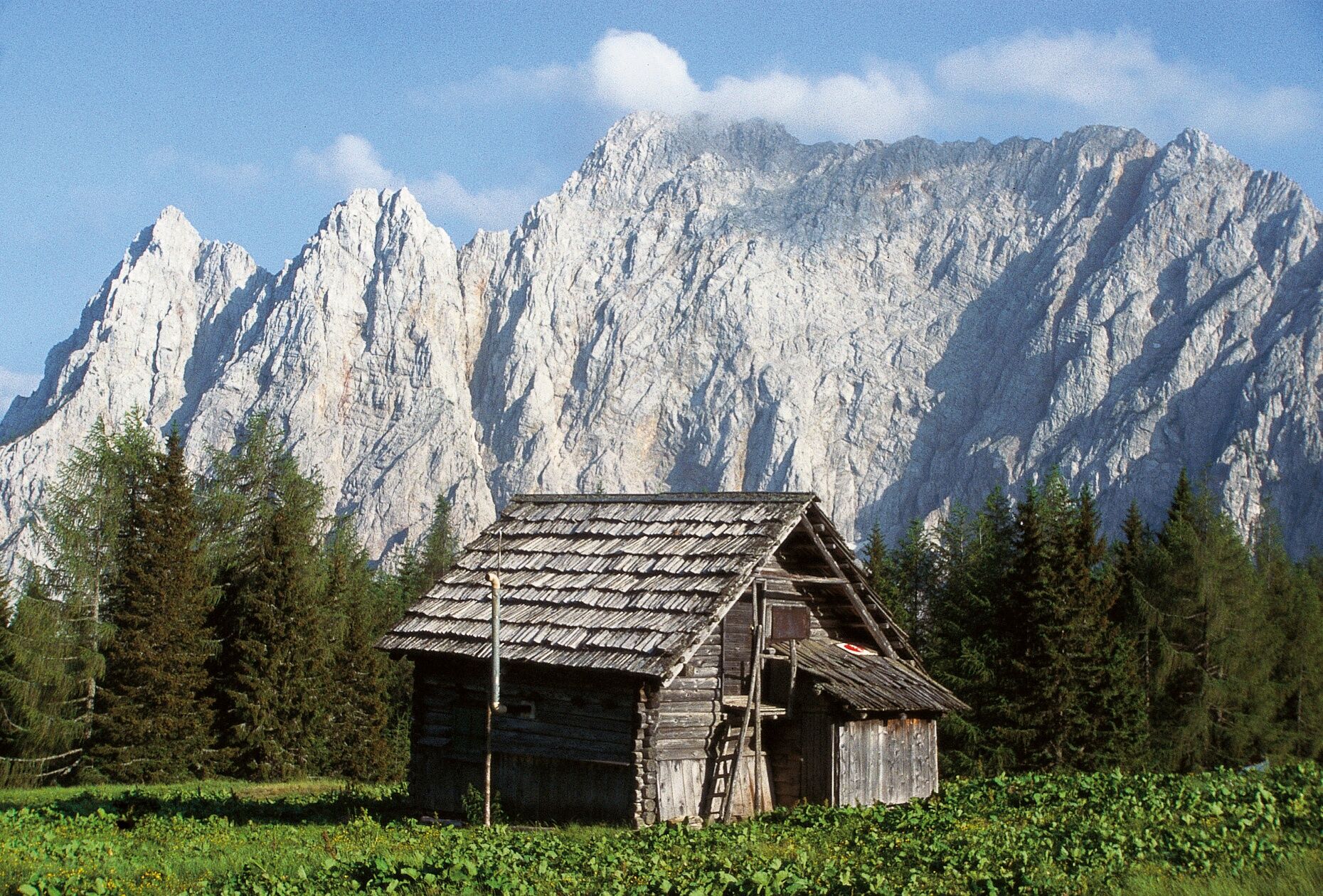
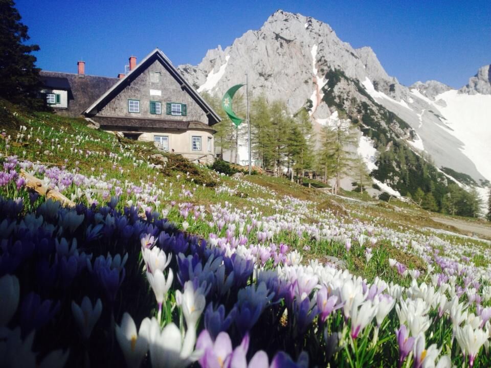
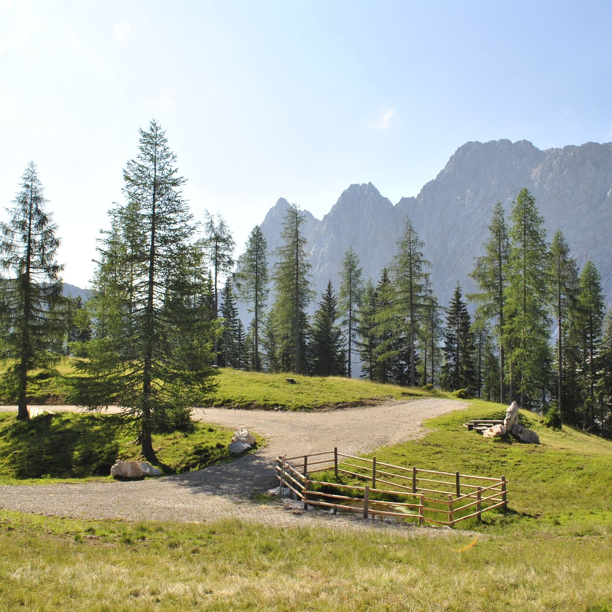
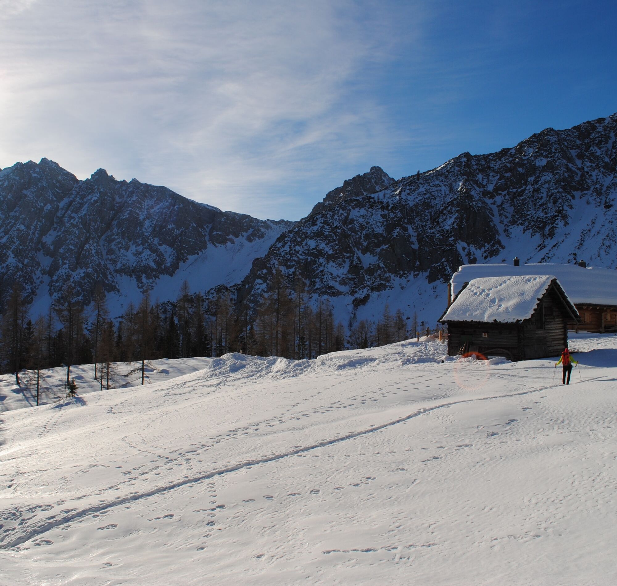
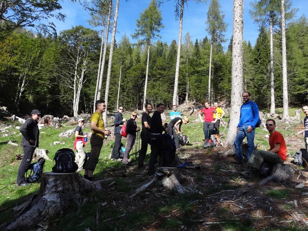
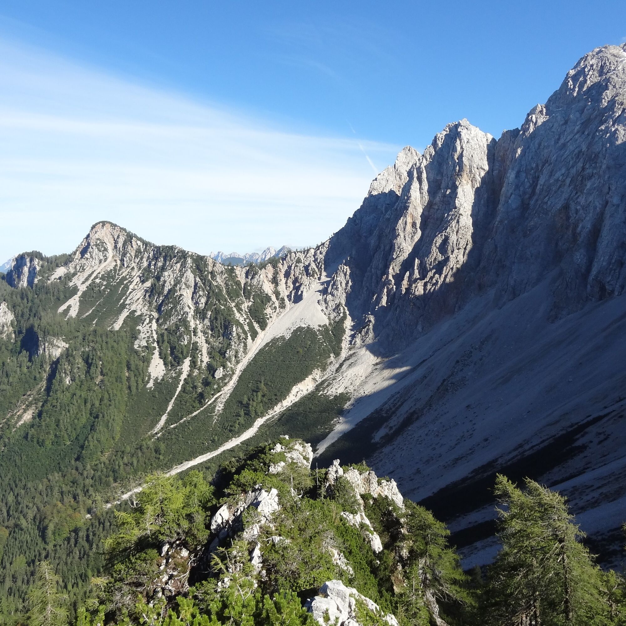
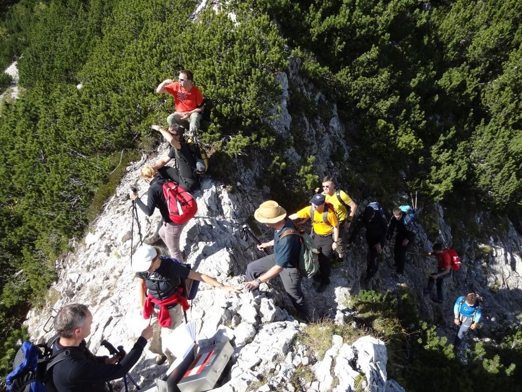
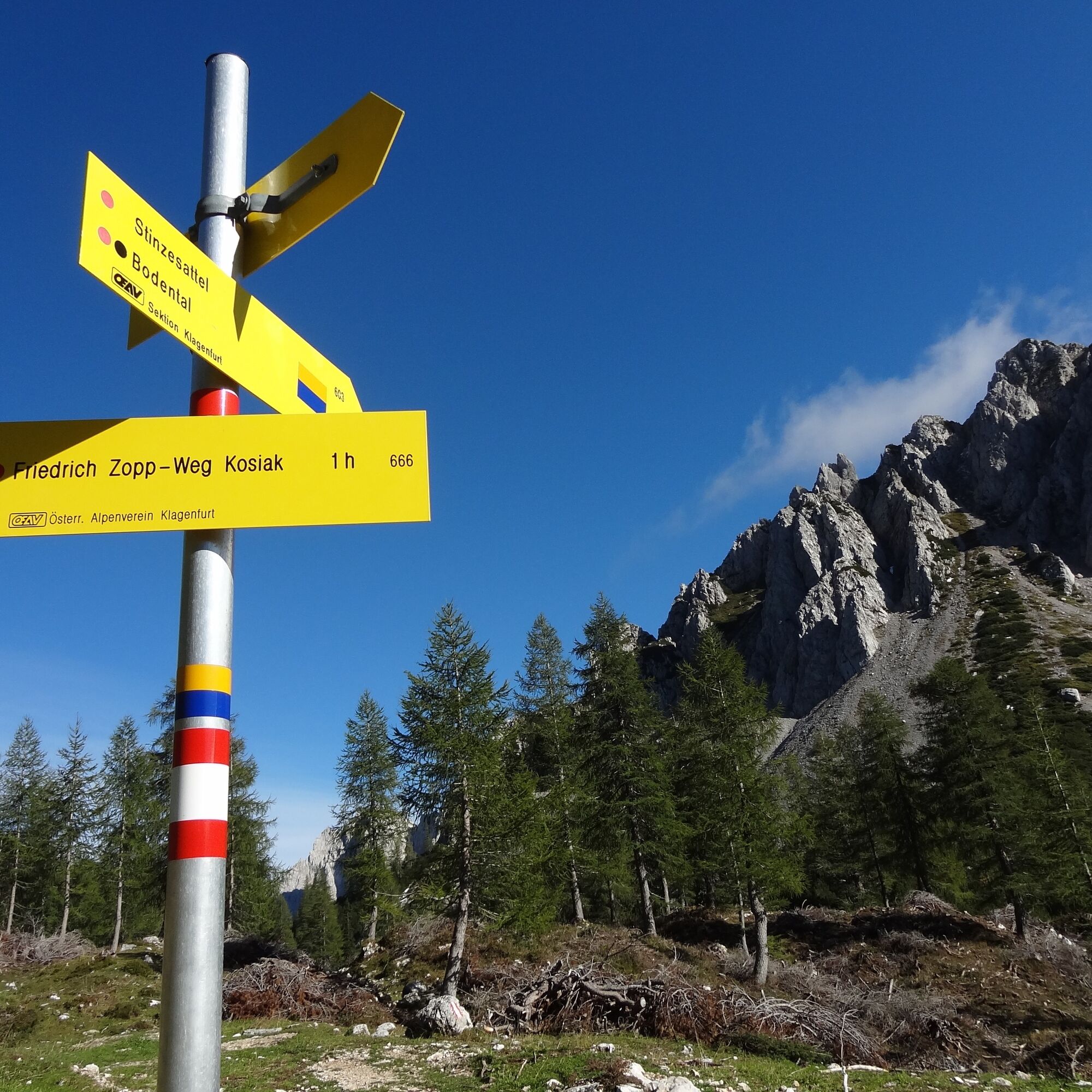
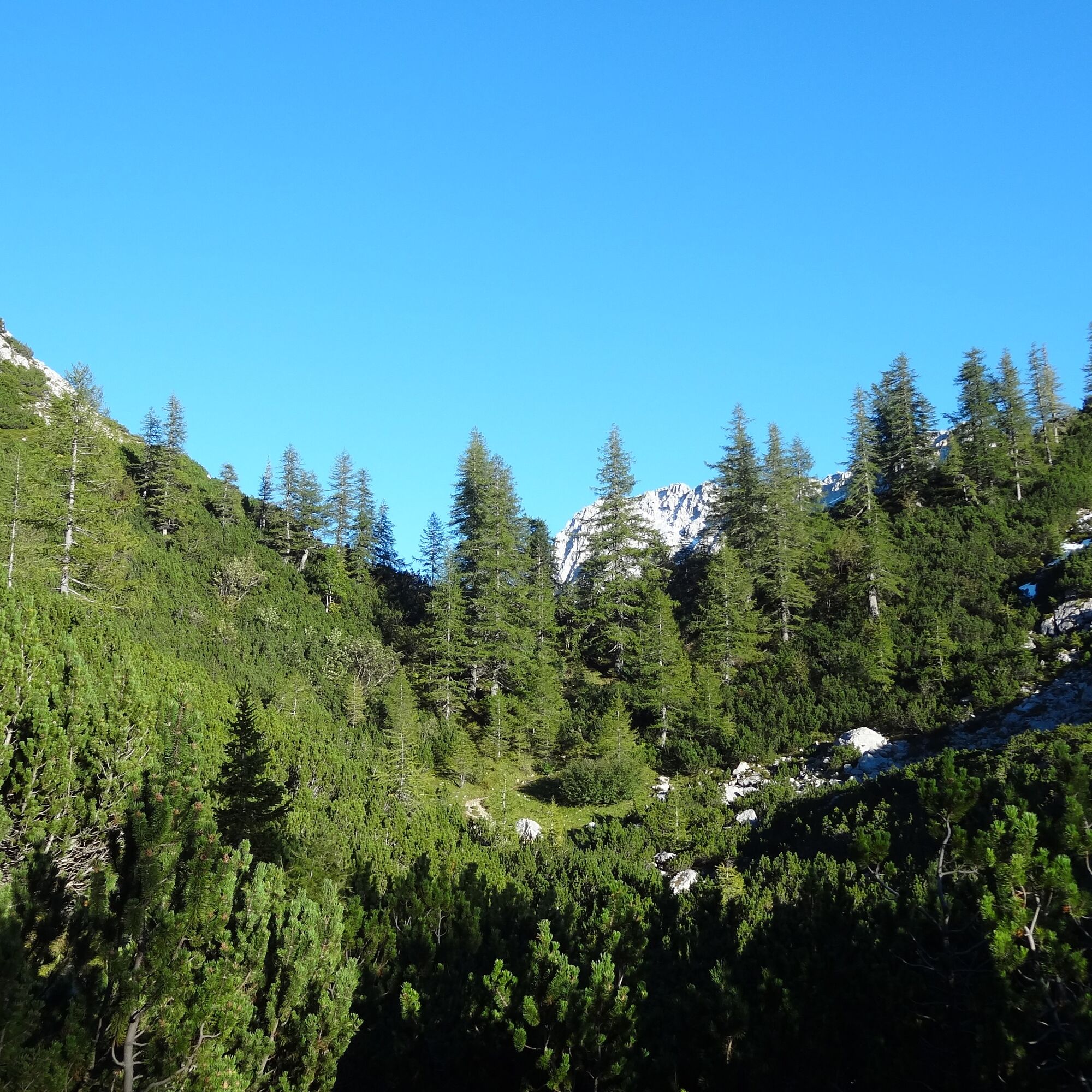
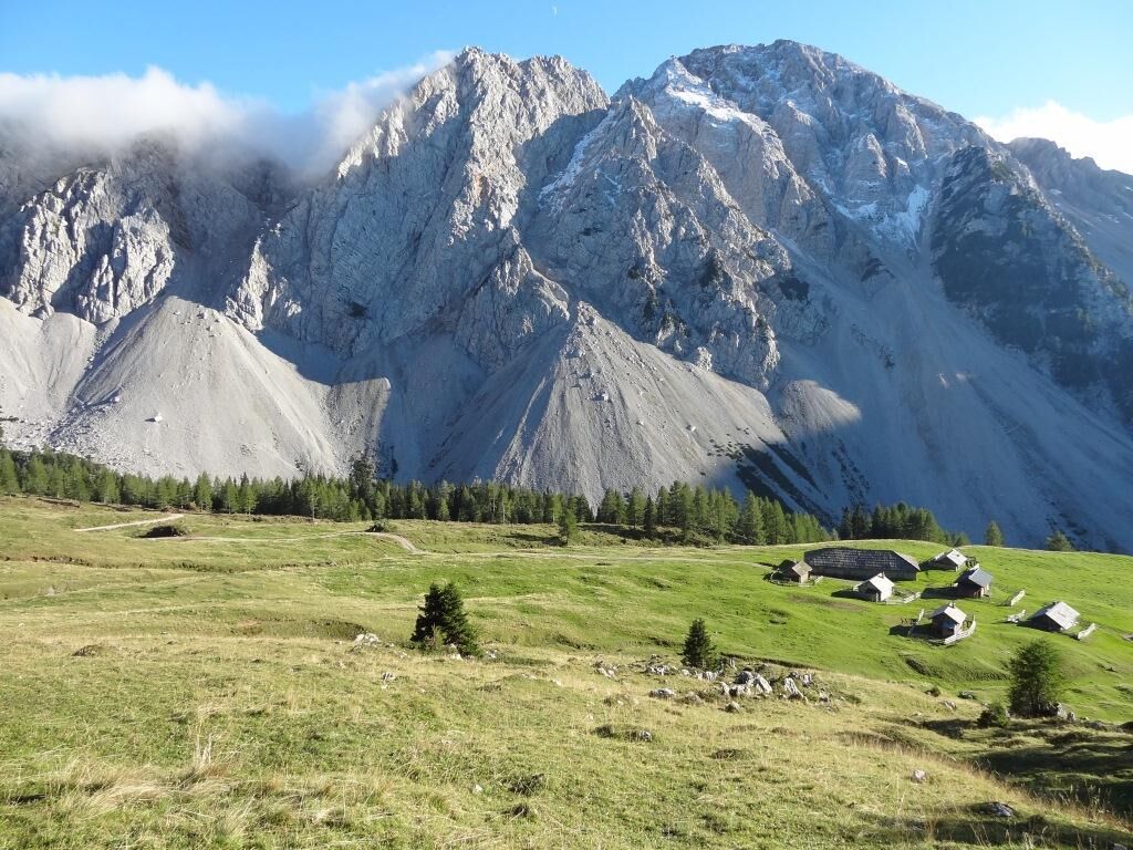
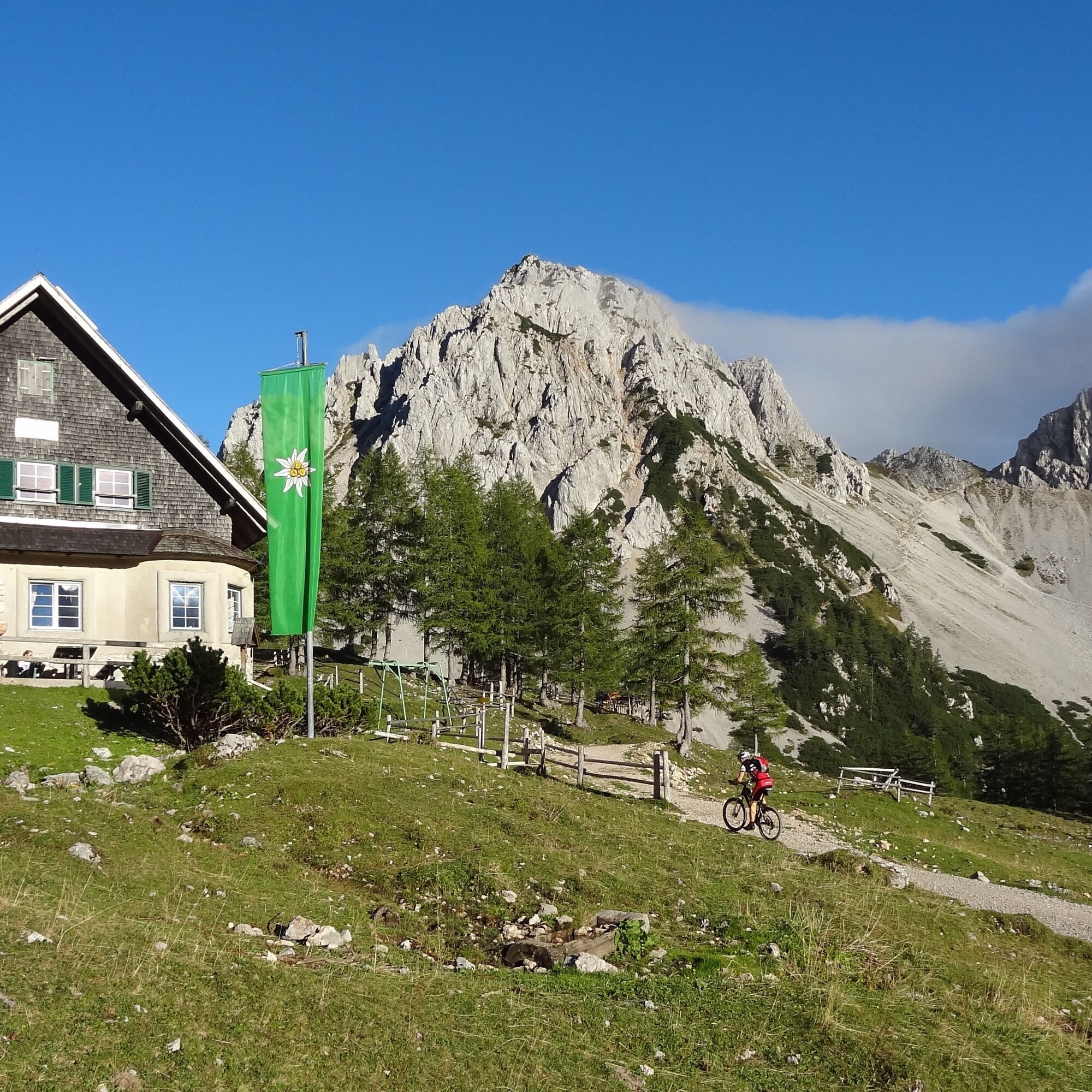
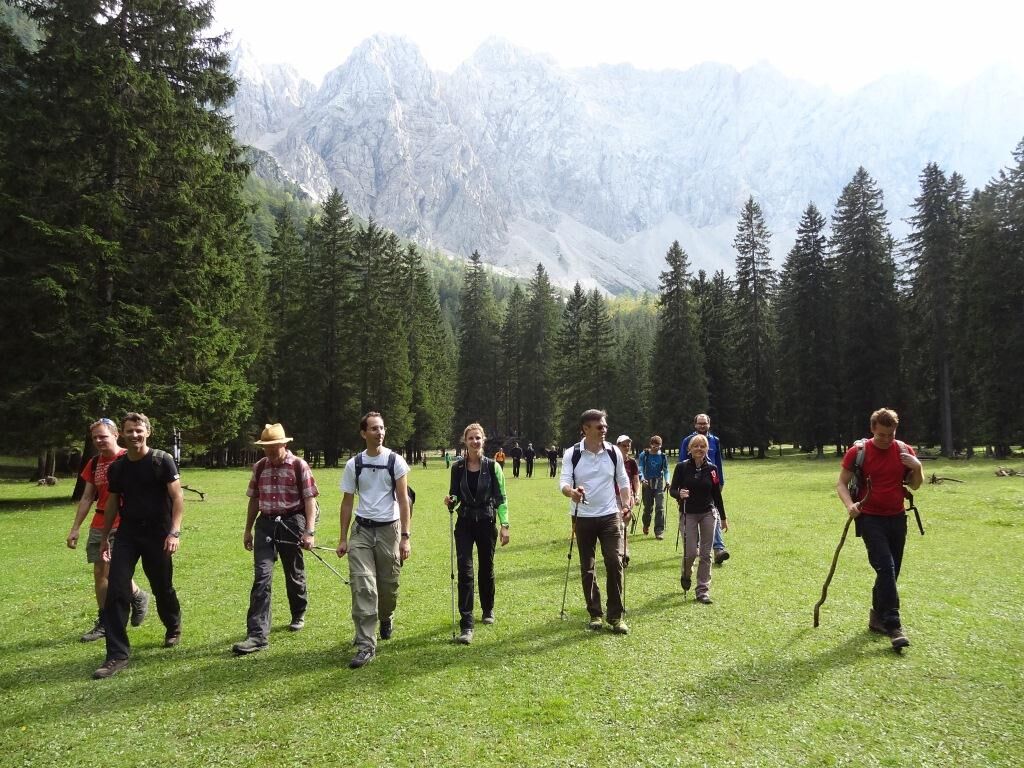
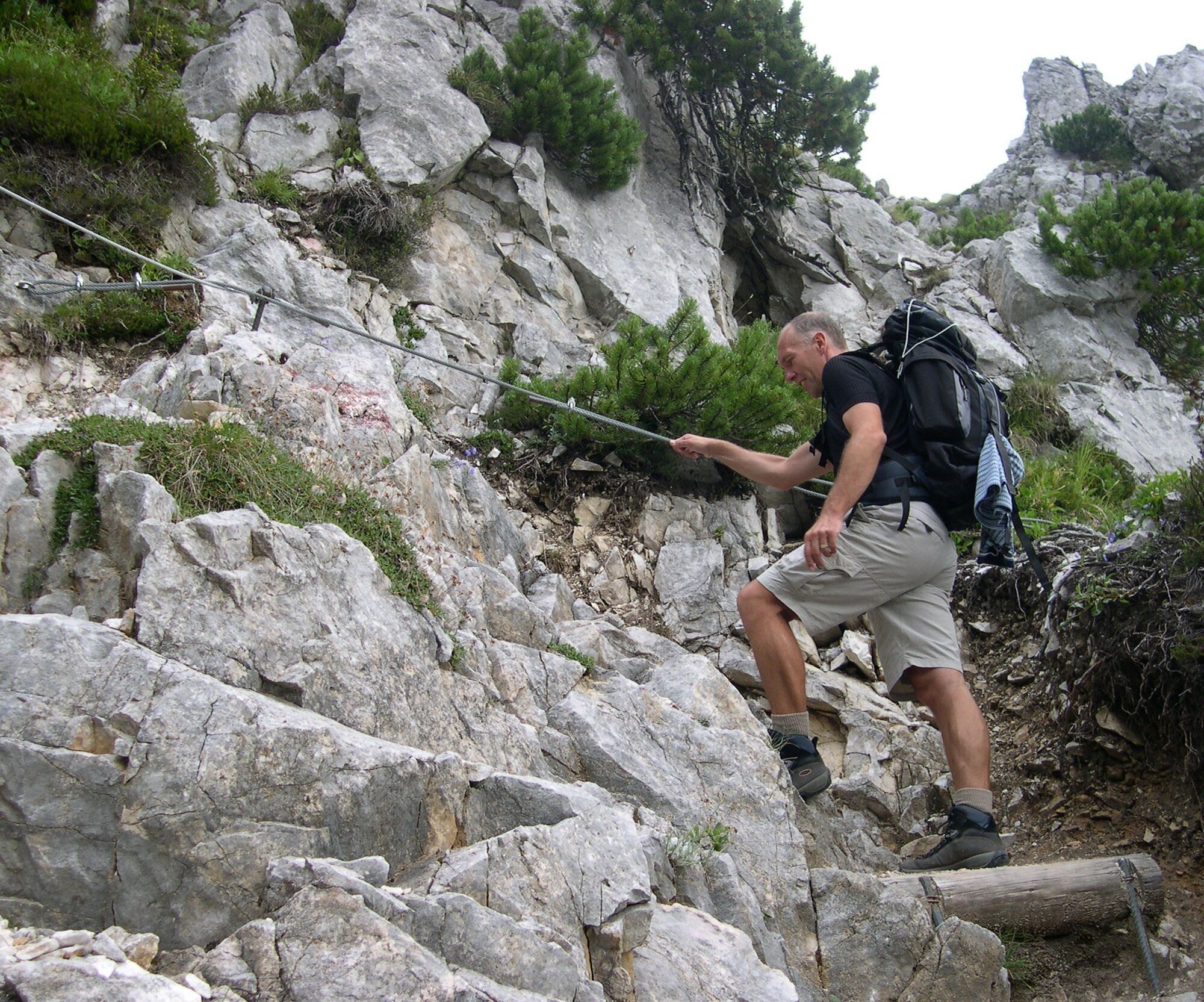

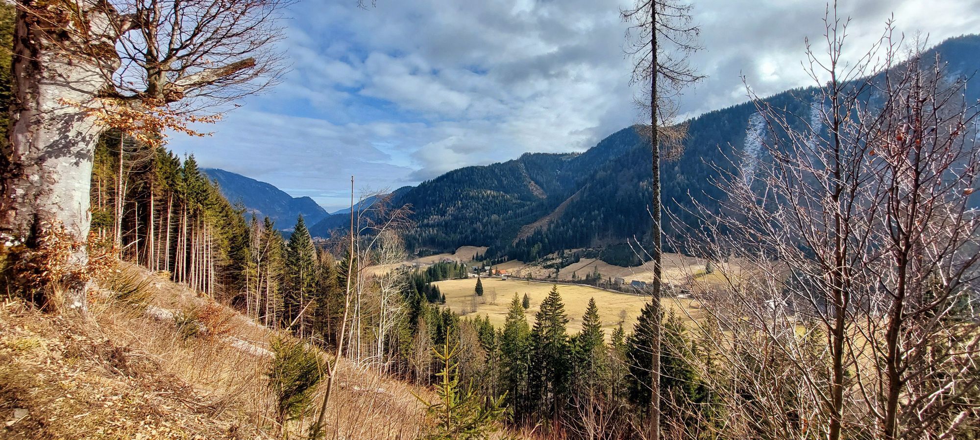
From the parking lot at the Gasthof Bodenbauer towards the Märchenwiese, shortly after turn right and pass through meadows and the forest up to the last houses (Ogrisbauer). Turn left on the forest road and follow it. Climb up a frequently wet ditch. From the small mountain ridge, there is a beautiful view of the Geißberg (Kosiak) and into the Strugarjach Gorge. We turn south into the high forest, where the path drops slightly. Soon the Ogrisalm with the newly built hut is reached. About 200m after the hut there is a spring. From here you can follow the further course of the path through the mountain pines. Just below the rocks, the path then runs over a small ridge into the Stinze. In exposed sections, the path is secured. Once these spots are overcome, you can already see the Matschacher Saddle. From here, descend a few meters and in about 15 minutes you stand in front of the newly adapted Klagenfurter Hut. The return takes the already known path over the Matschacher Saddle and the partially secured Stinze path. Shortly before the Ogrisalm, the path branches right (622) and leads over the Märchenwiese to the Bodenbauer.
Alternative descent: From the Klagenfurter Hut, follow trail 603 westwards, over the Matschacheralm, down the Johannsenruhe into the Bärental to the Stouhütte. However, here one would have to arrange a ride.
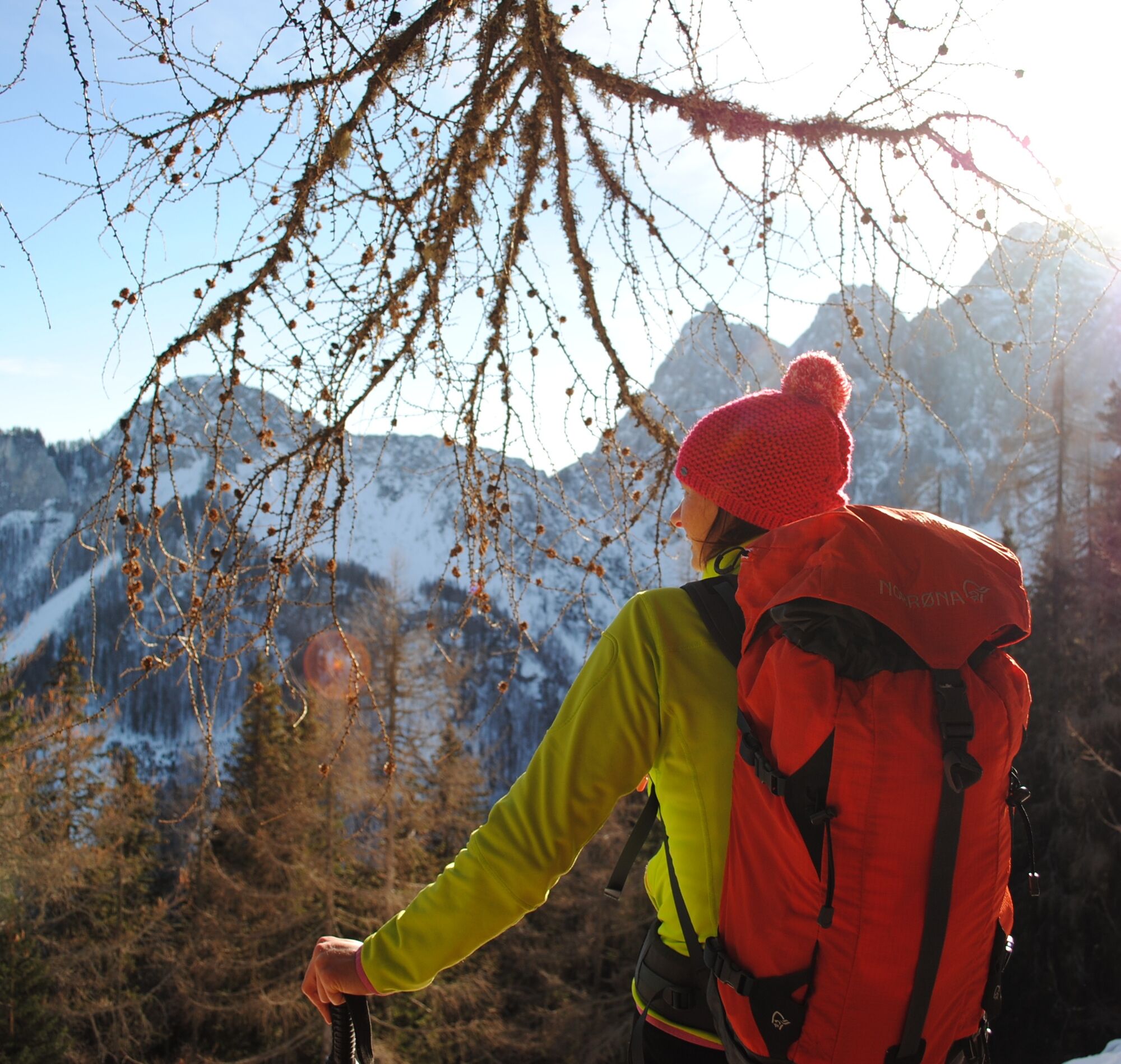
complete mountain and hiking equipment, phone, camera
Surefootedness and a head for heights are required!
B91 to the Bodental junction, then continue into the innermost Bodental up to the Gasthof Bodenbauer
Gasthof Bodenbauer
Before heading home: A detour to the Meerauge
 Pridobite vpogled
Vedno v živo na mestu z več kot 9.500 spletnimi kamerami. bergfex Kot uporabnik Pro si lahko zdaj ogledate ustrezne spletne kamere za številne izlete v aplikaciji izleti iz. Tako si lahko neposredno ogledate trenutne razmere.
Pridobite vpogled
Vedno v živo na mestu z več kot 9.500 spletnimi kamerami. bergfex Kot uporabnik Pro si lahko zdaj ogledate ustrezne spletne kamere za številne izlete v aplikaciji izleti iz. Tako si lahko neposredno ogledate trenutne razmere.
Dejavnosti na poti
-

Ferlach, Kärnten/Österreich
18.08.2026 – Pohodništvo -
Ferlach, Kärnten/Österreich
09.08.2026 – Pohodništvo -
Ferlach, Kärnten/Österreich
02.08.2026 – Pohodništvo -

Ferlach, Kärnten/Österreich
24.07.2026 – Gorski pohodništvo -
Ferlach, Kärnten/Österreich
20.06.2026 – Pohodništvo -

Ferlach, Kärnten/Österreich
24.05.2026 – Pohodništvo -
Ogrisalm - Runde
17.10.2025 – Pohodništvo -

Ferlach, Carinthie/Autriche
17.08.2025 – Pohodništvo
Priljubljeni izleti v okolici
-
4.2
MTB-Tour zur Klagenfurter Hütte
srednjaMountainbike 12.6 km -
3.9
Tscheppaschlucht Ferlach
svetlobaPohodništvo 5.90 km -
4.8
Through the Tscheppaschlucht into the Loibltal
srednjaPohodništvo 4.58 km -
4.6
Srčna pot okrog blejskega jezera
srednjaTematska pot 5.93 km -
4.6
Water experience trail Hainschgraben
srednjaPohodništvo 9.23 km -
4.5
Slow Trail Meerauge
svetlobaPohodništvo 5.25 km -
4.3
From Bärental to the Kosiak (Klagenfurter Hut)
srednjaPohodništvo 9.67 km -
4.6
Sinacher Gupf crossing
srednjaPohodništvo 8.32 km -
4.2
Through the Tscheppa Gorge to Bodental
srednjaPohodništvo 10.6 km -
4.7
Ogrisalm ab Bodenbauer, Kärnten/Österreich
svetlobaSmučarska tura 11.2 km
Pohodništvo in sledenje


Ne zamudite ponudb in navdiha za naslednje počitnice
Vaš e-poštni naslov je bil dodan na poštni seznam.





