© Panoramaweg Südalpen - vaude/ Tobias Hauser


© Region Wörthersee-Rosental Tourismus GmbH - vaude/ Tobias Hauser


- Kratek opis
-
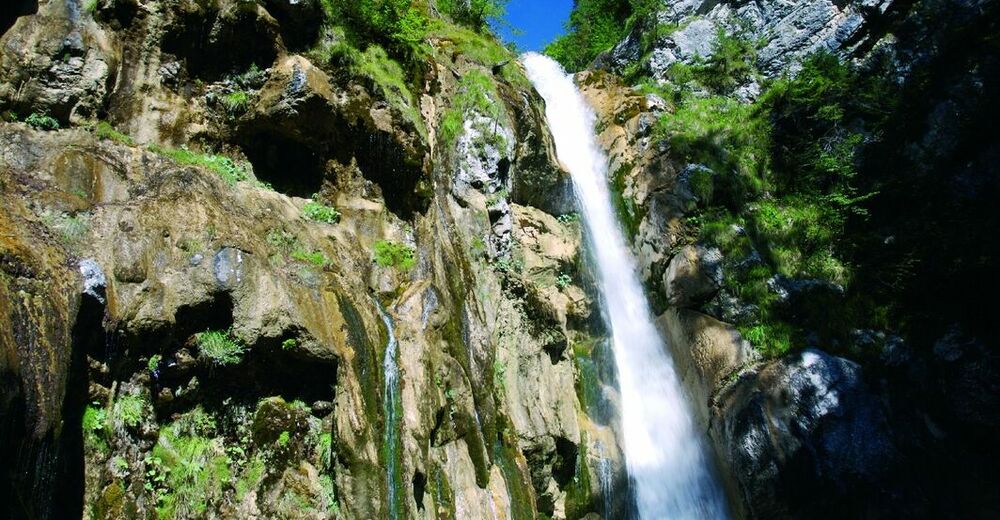
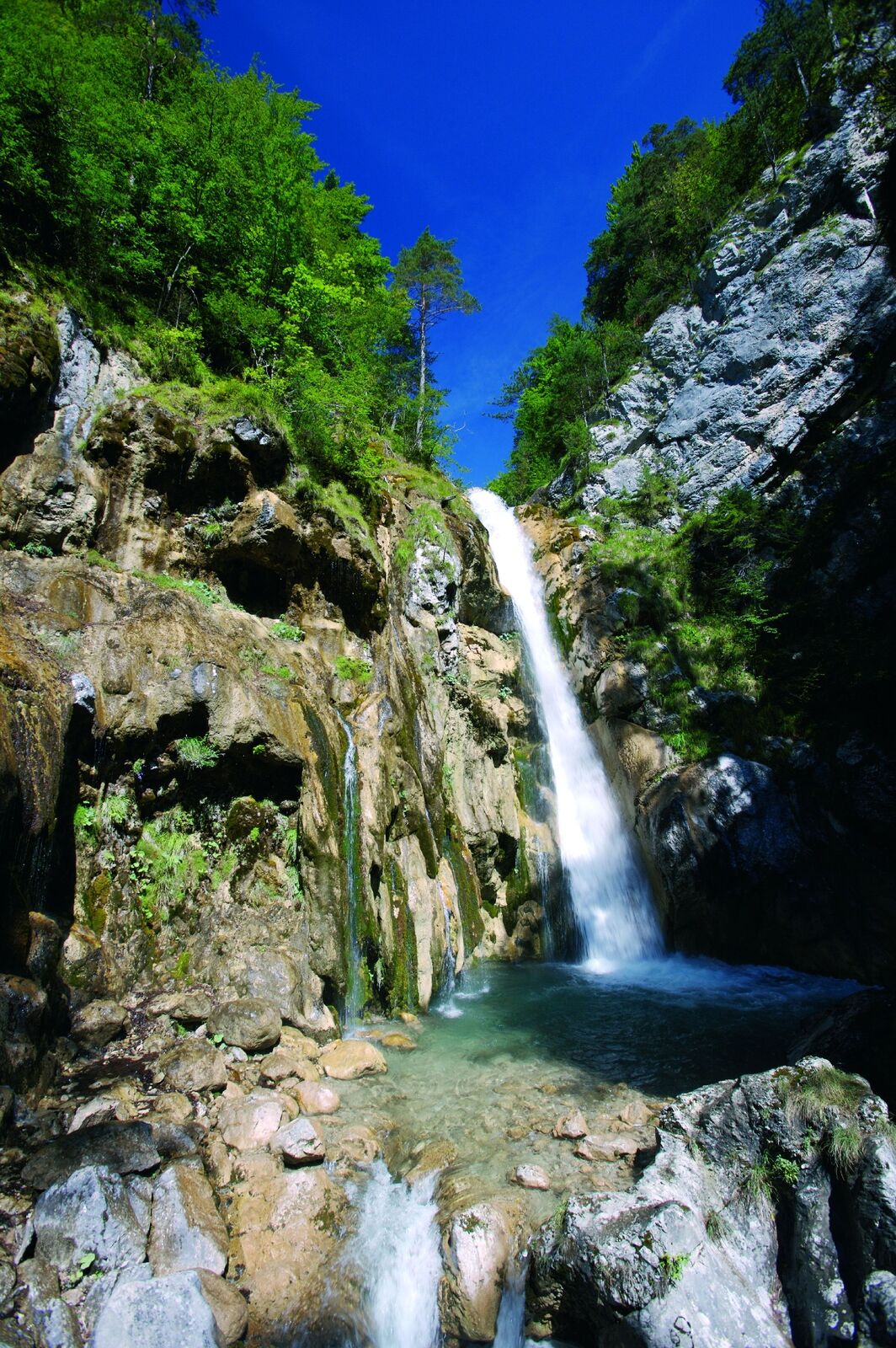
Ein Erlebnis der besonderen Art: Die beeindruckende Wanderung durch die tosende Tscheppaschlucht führt über Steige und Leitern zum tosenden Tschaukofall.
- Težavnost
-
srednja
- Ocenjevanje
-
- Pot
-
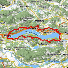
Tschaukofall5,4 kmPfarrkirche Sankt Erhard7,4 kmWindisch Bleiberg7,4 kmBodental10,5 km
- Najboljša sezona
-
janfebmaraprmajjunjulavgsepoktnovdec
- Najvišja točka
- 998 m
- Destinacija
-
Bodental
- Profil nadmorske višine
-


-

-
AvtorTurneja Durch die Tscheppaschlucht ins Bodental uporablja outdooractive.com na spletni strani ..
GPS Downloads


Splošne informacije
Postanek za osvežitev
Flora
Favna
Več izletov v regijah
-
Wörthersee - Rosental
1956
-
Bodental
278