






Lavanttal High Trail - Overall
Stopnja težavnosti: T2
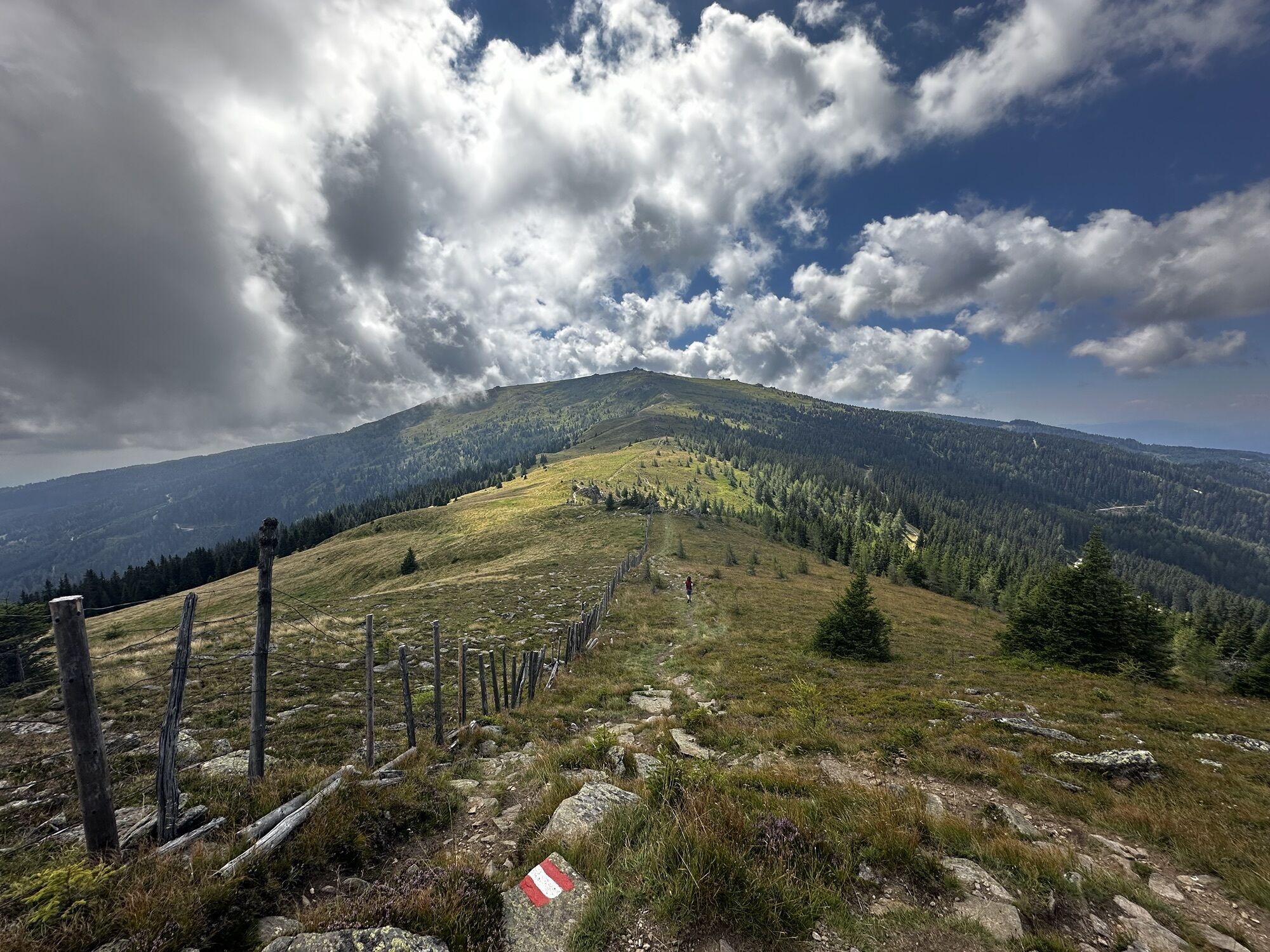
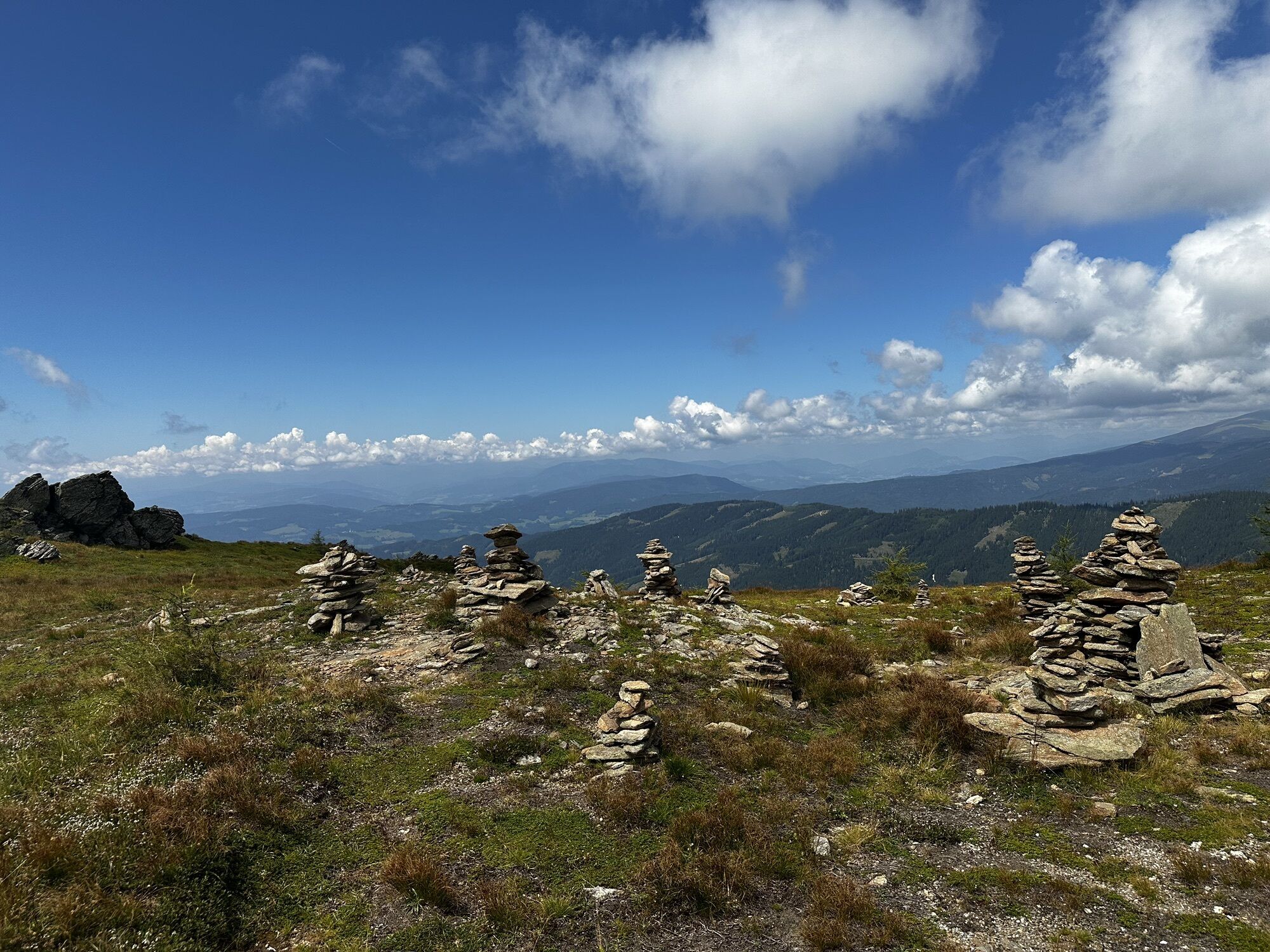
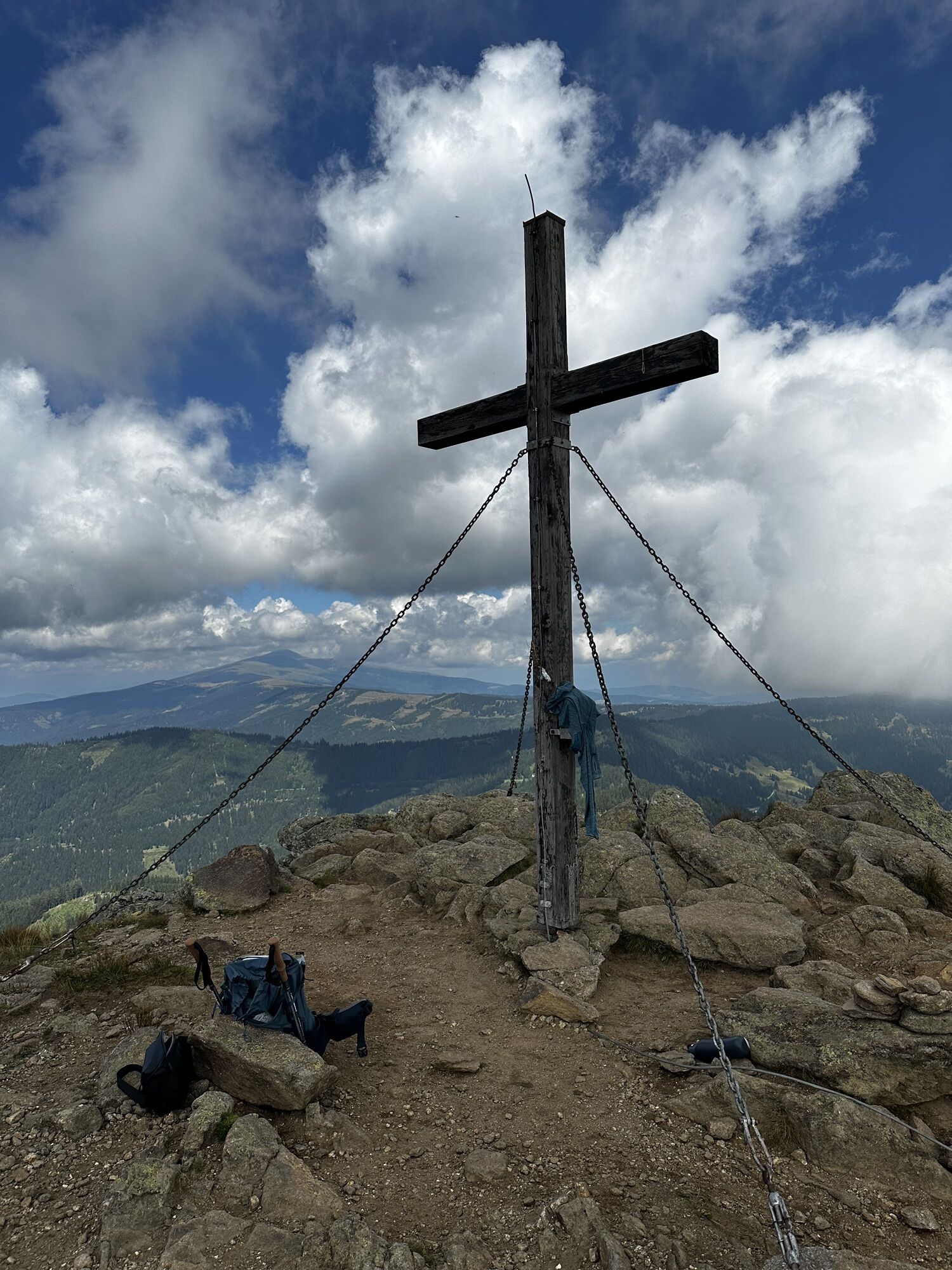
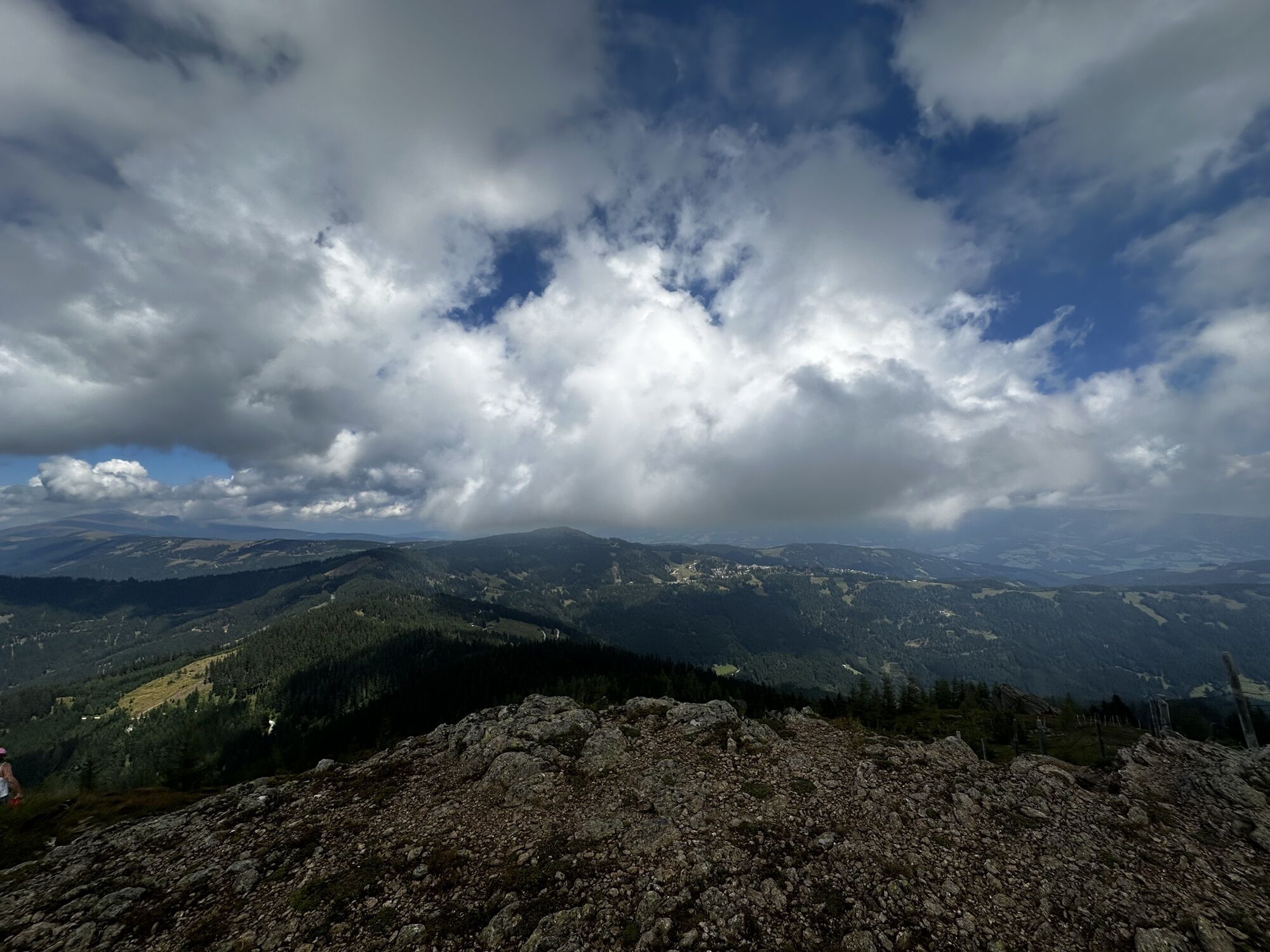
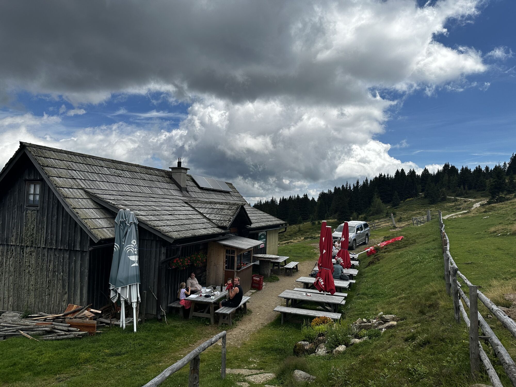
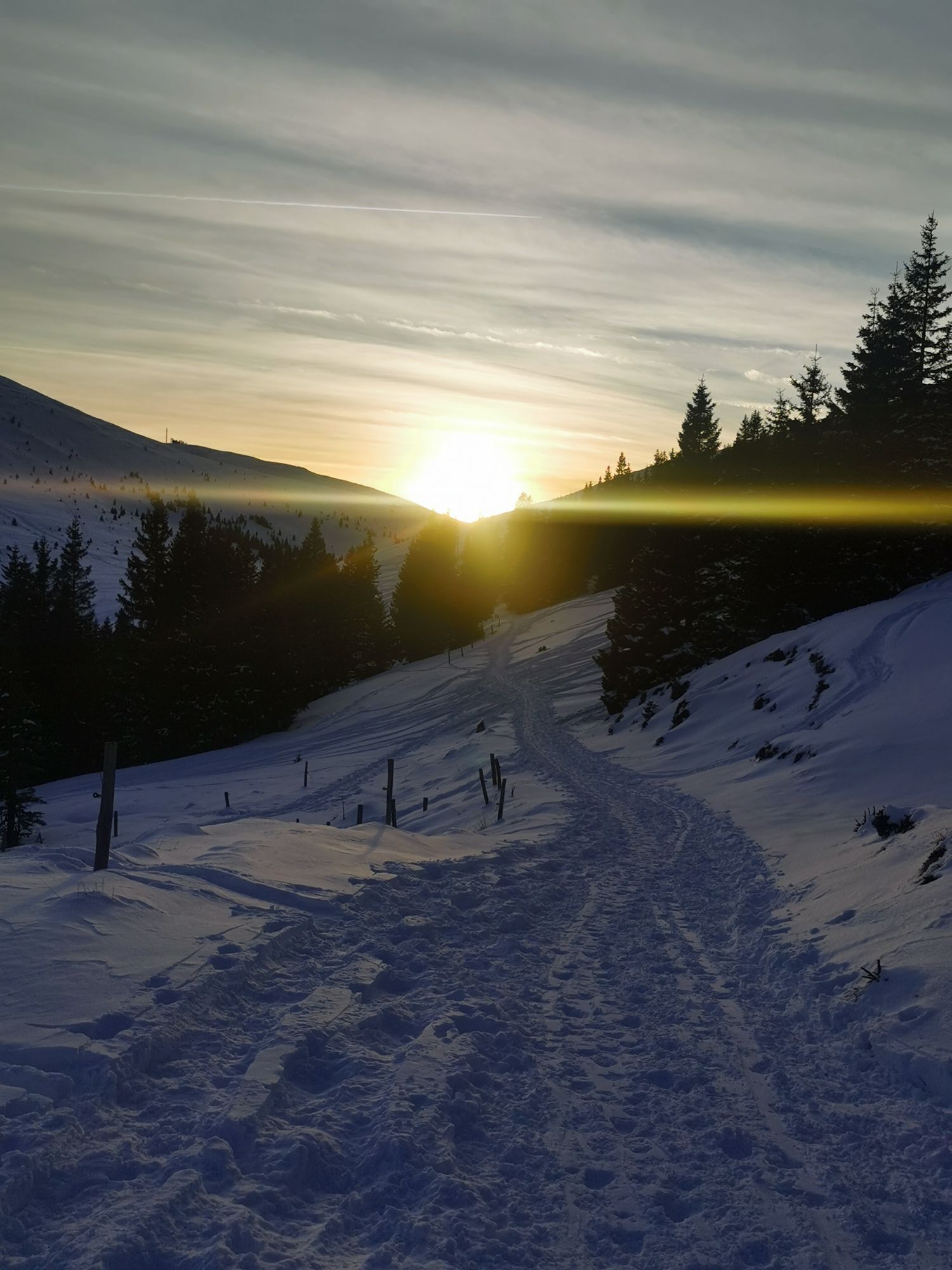
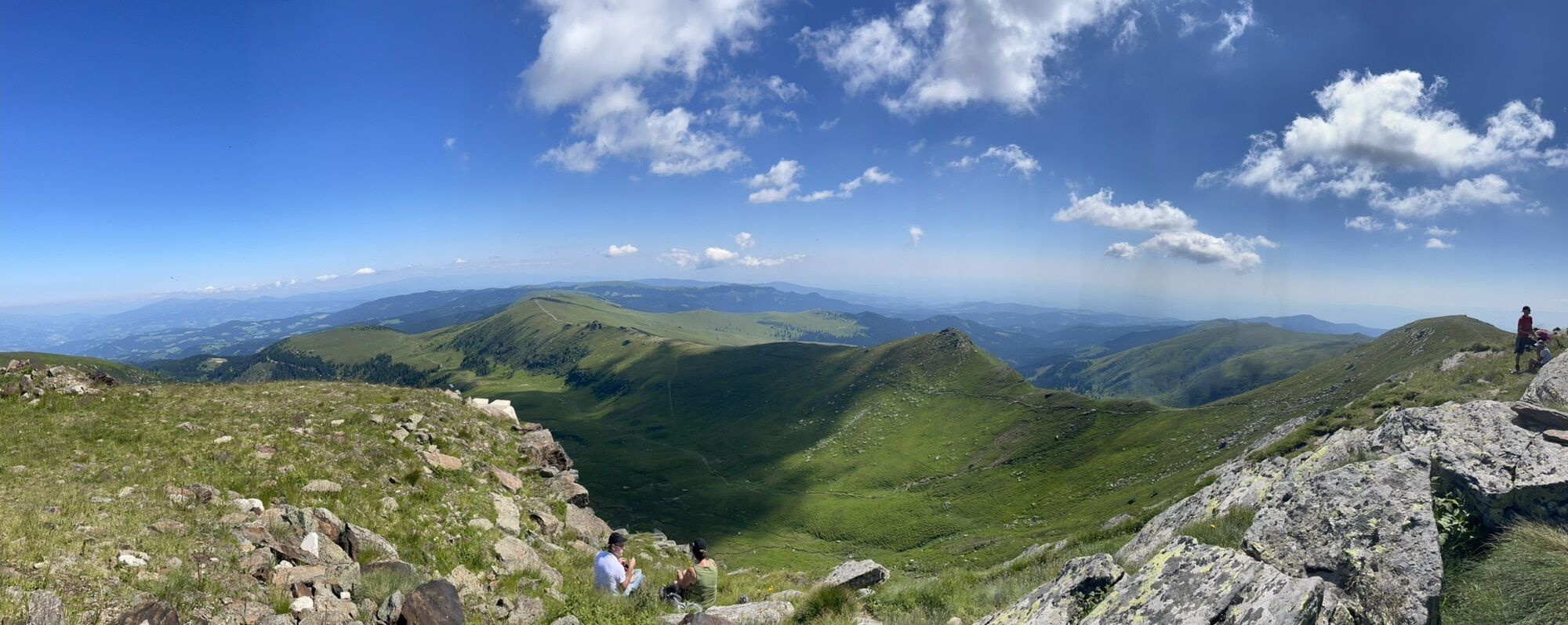
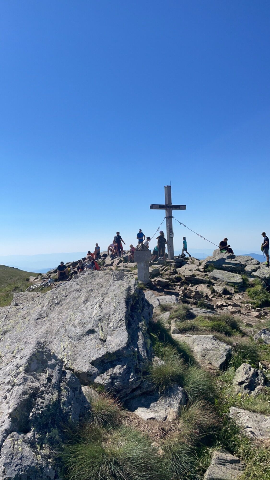
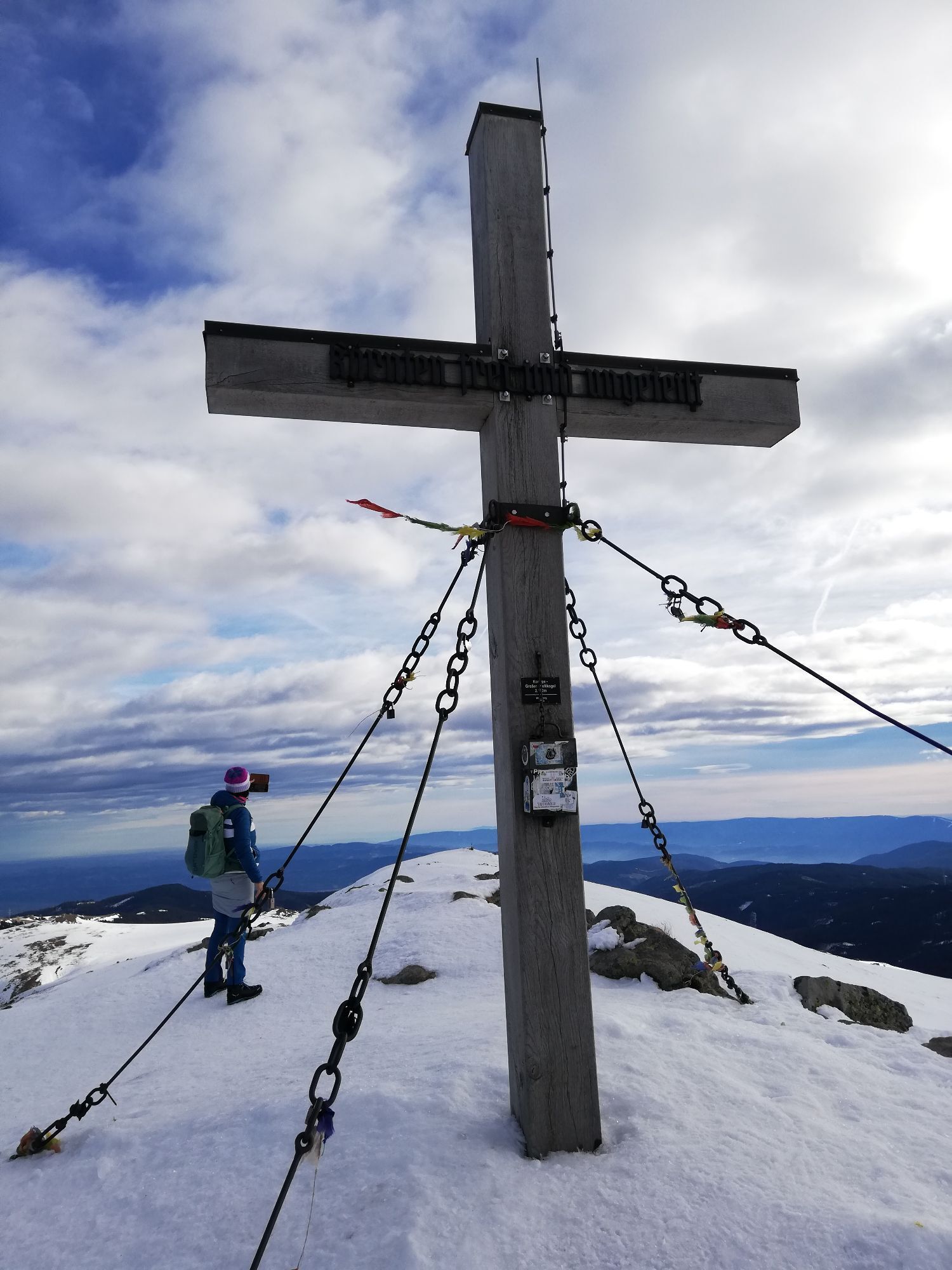
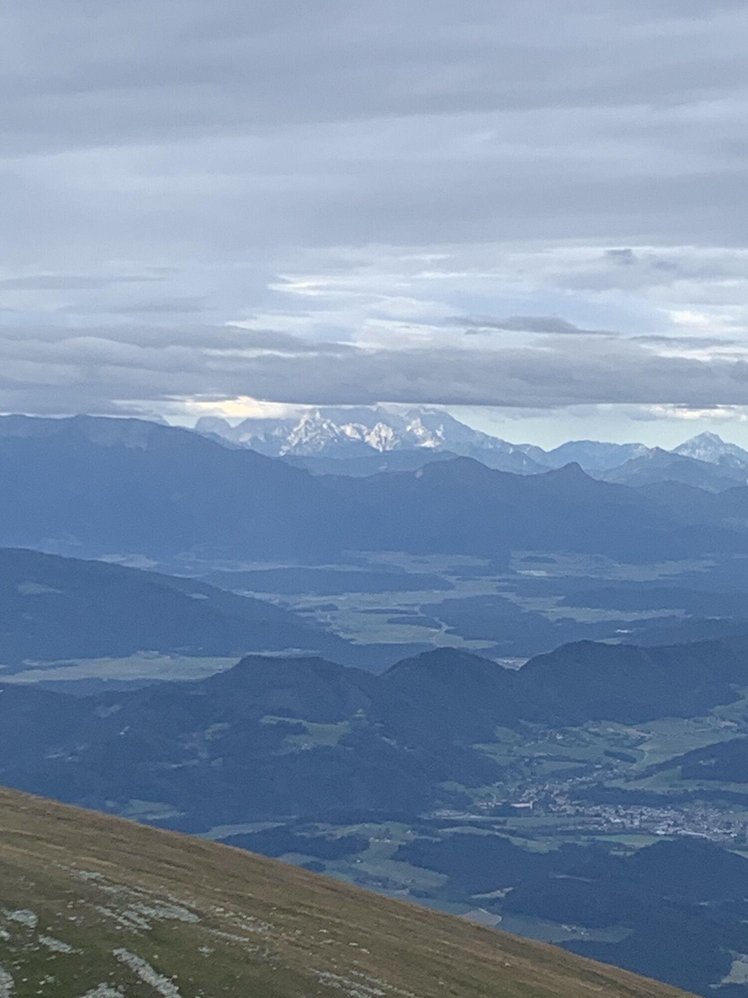
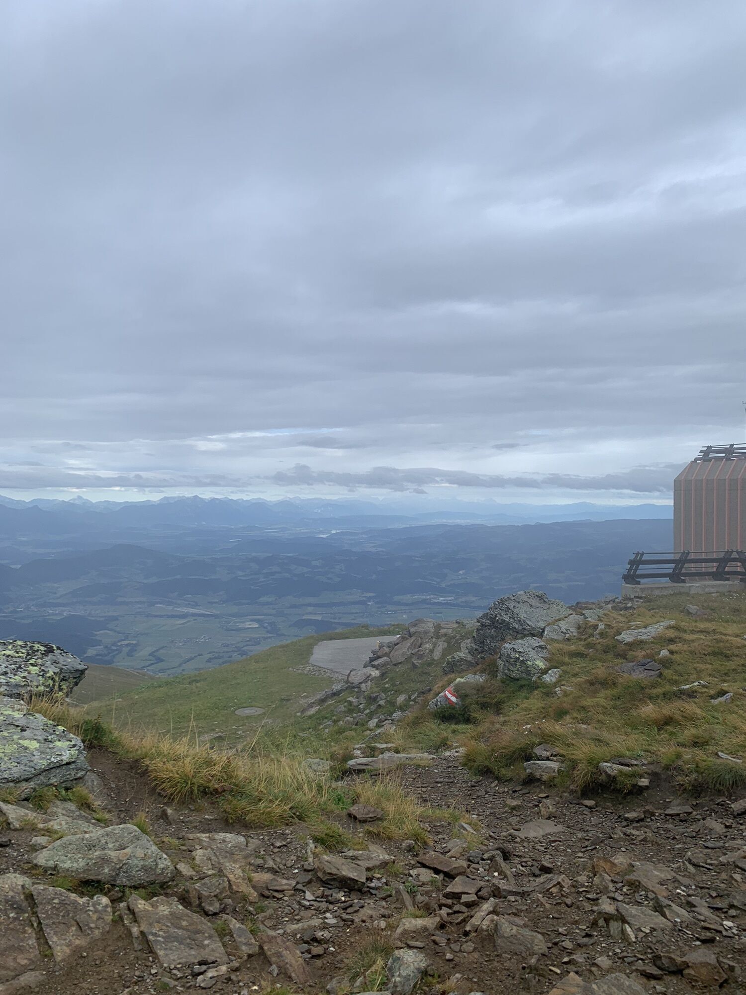
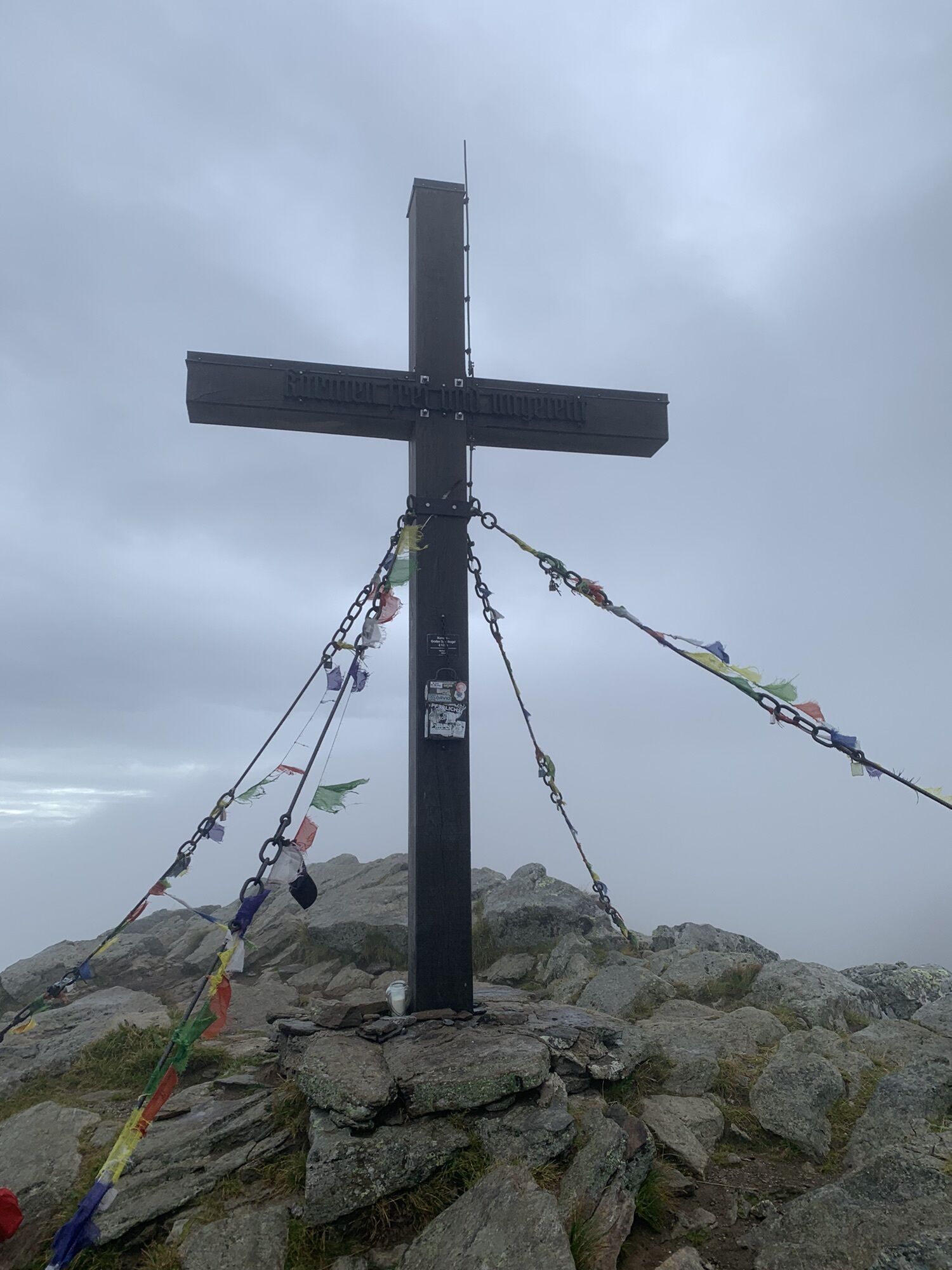
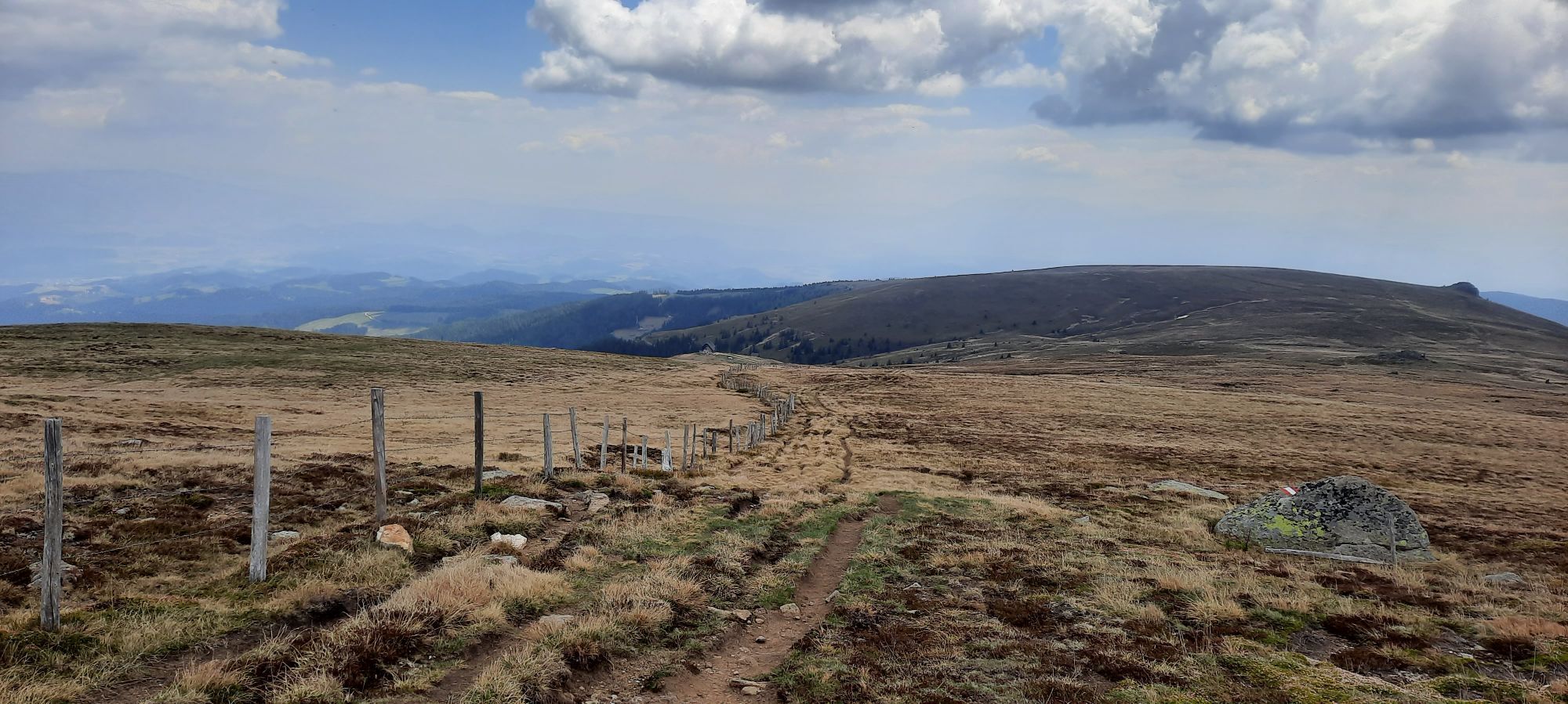
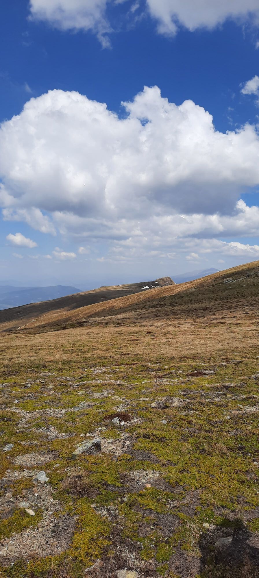
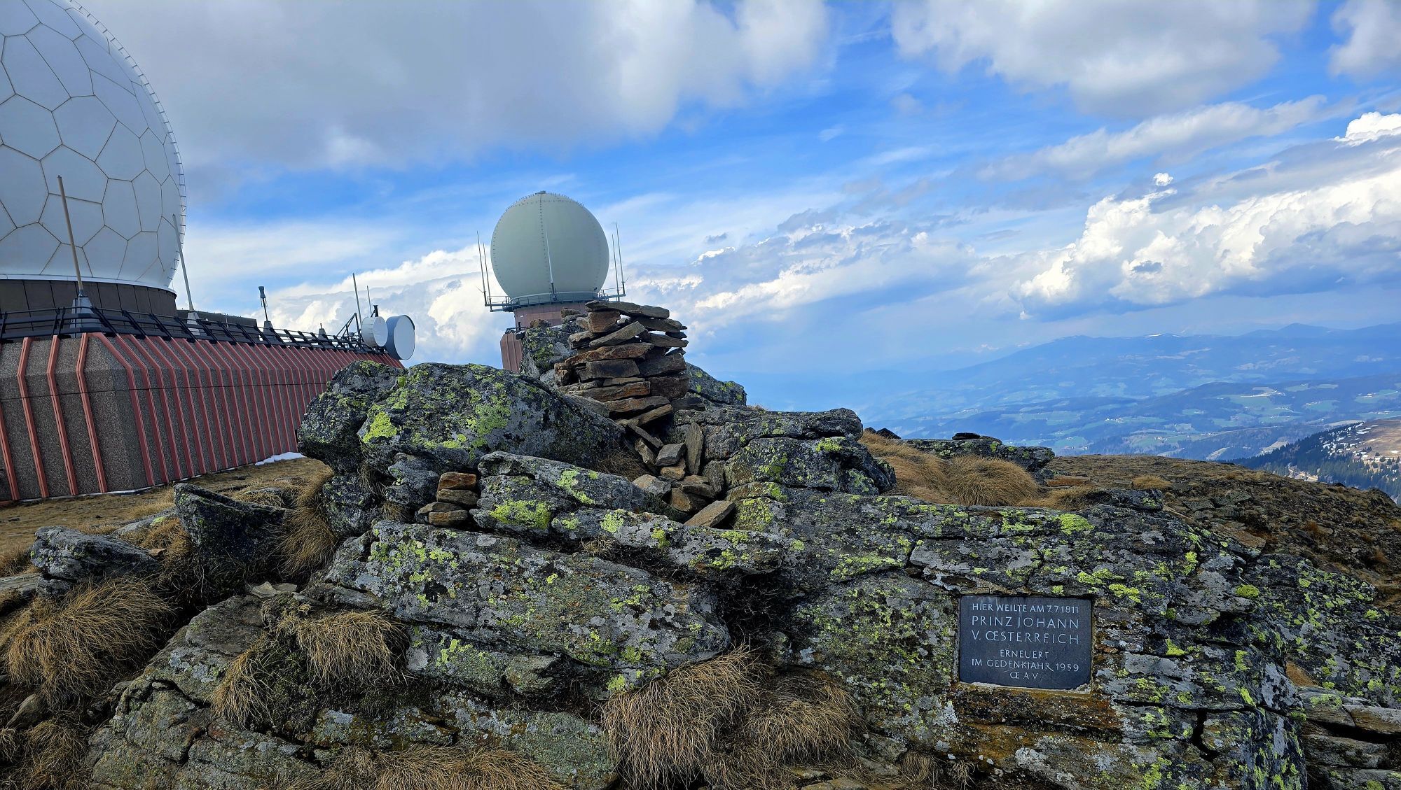
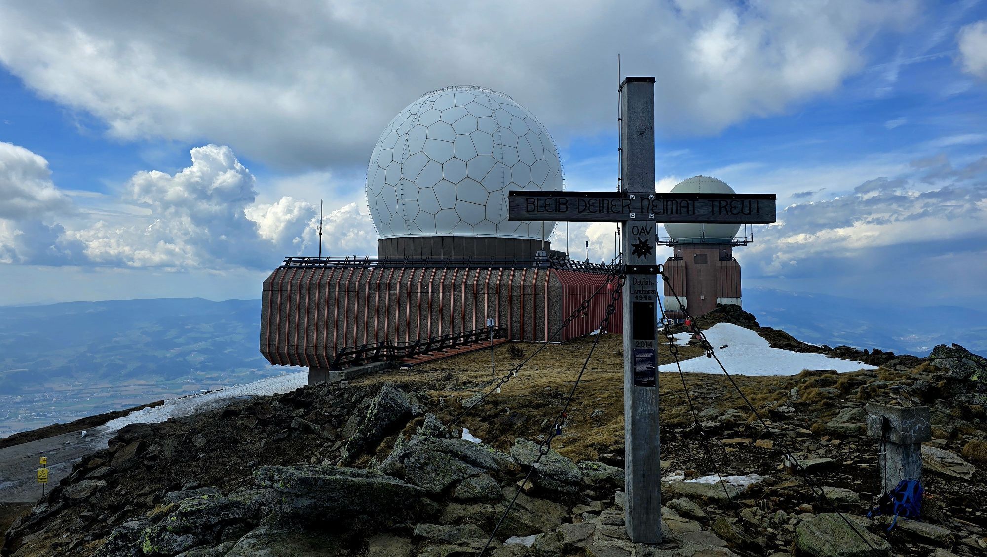
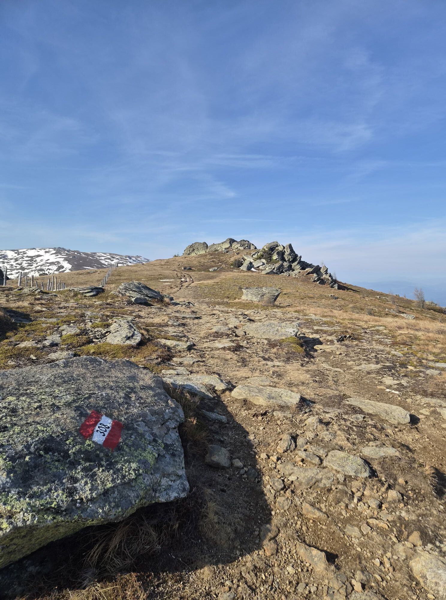
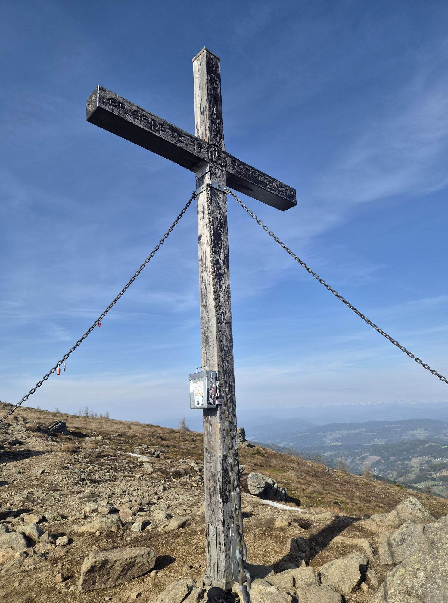
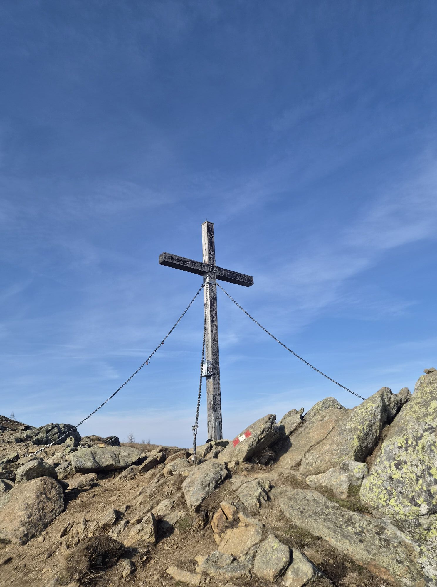
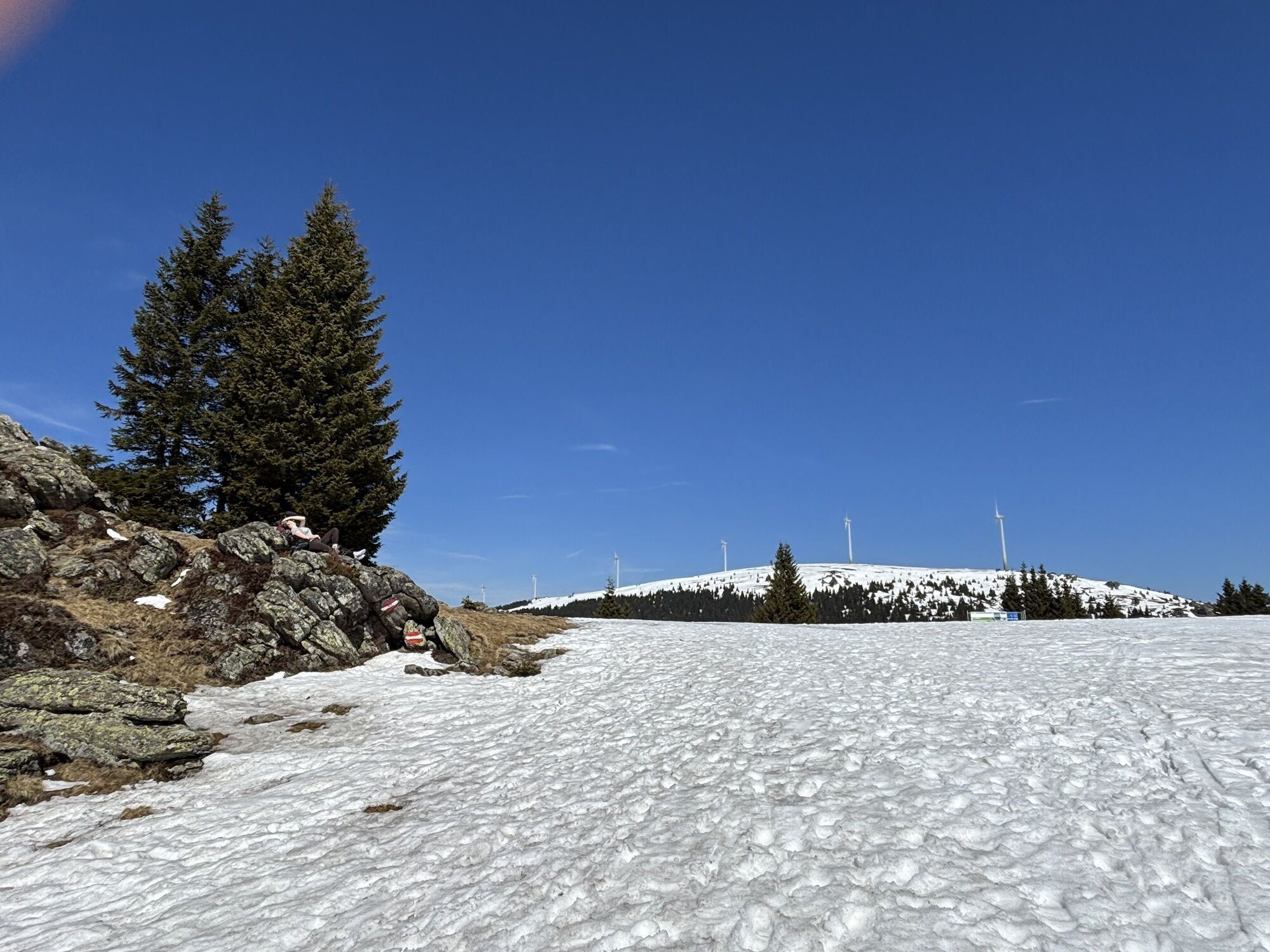
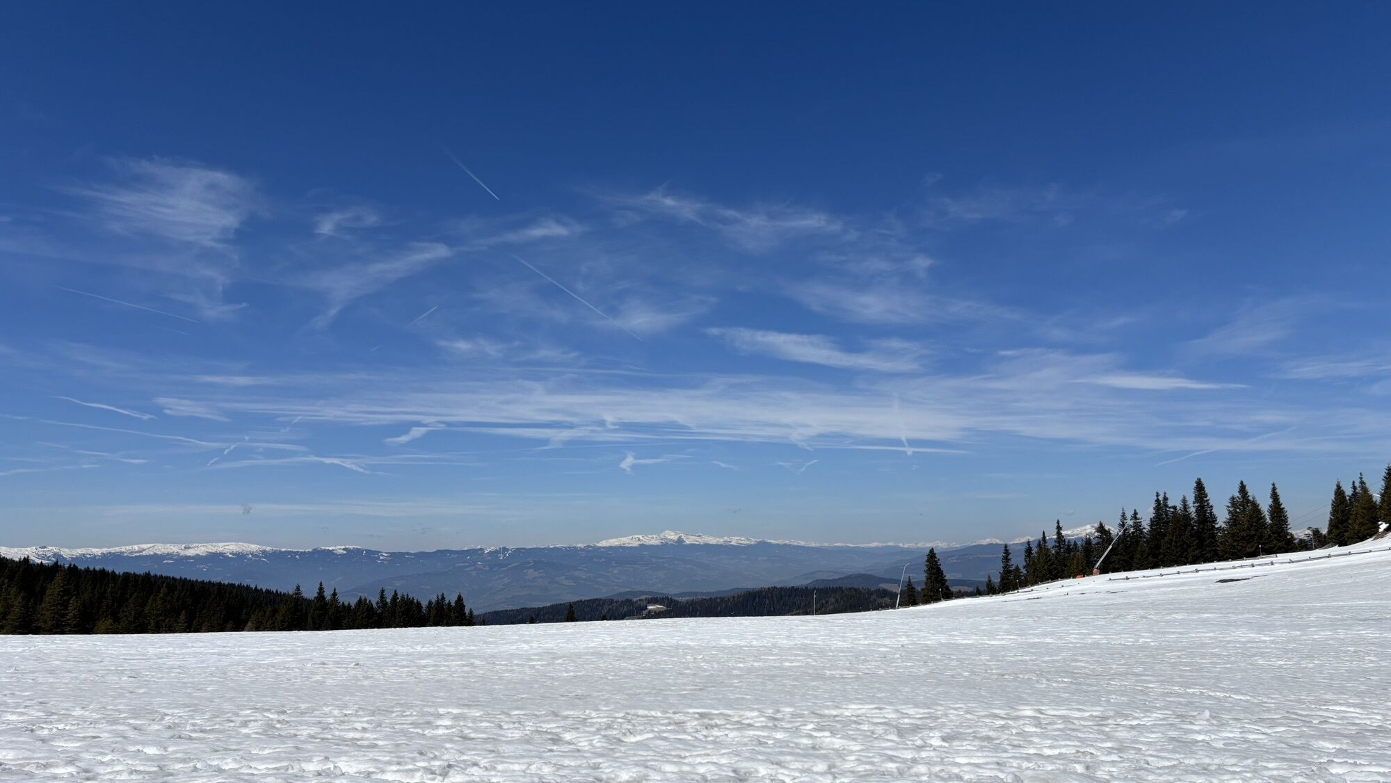
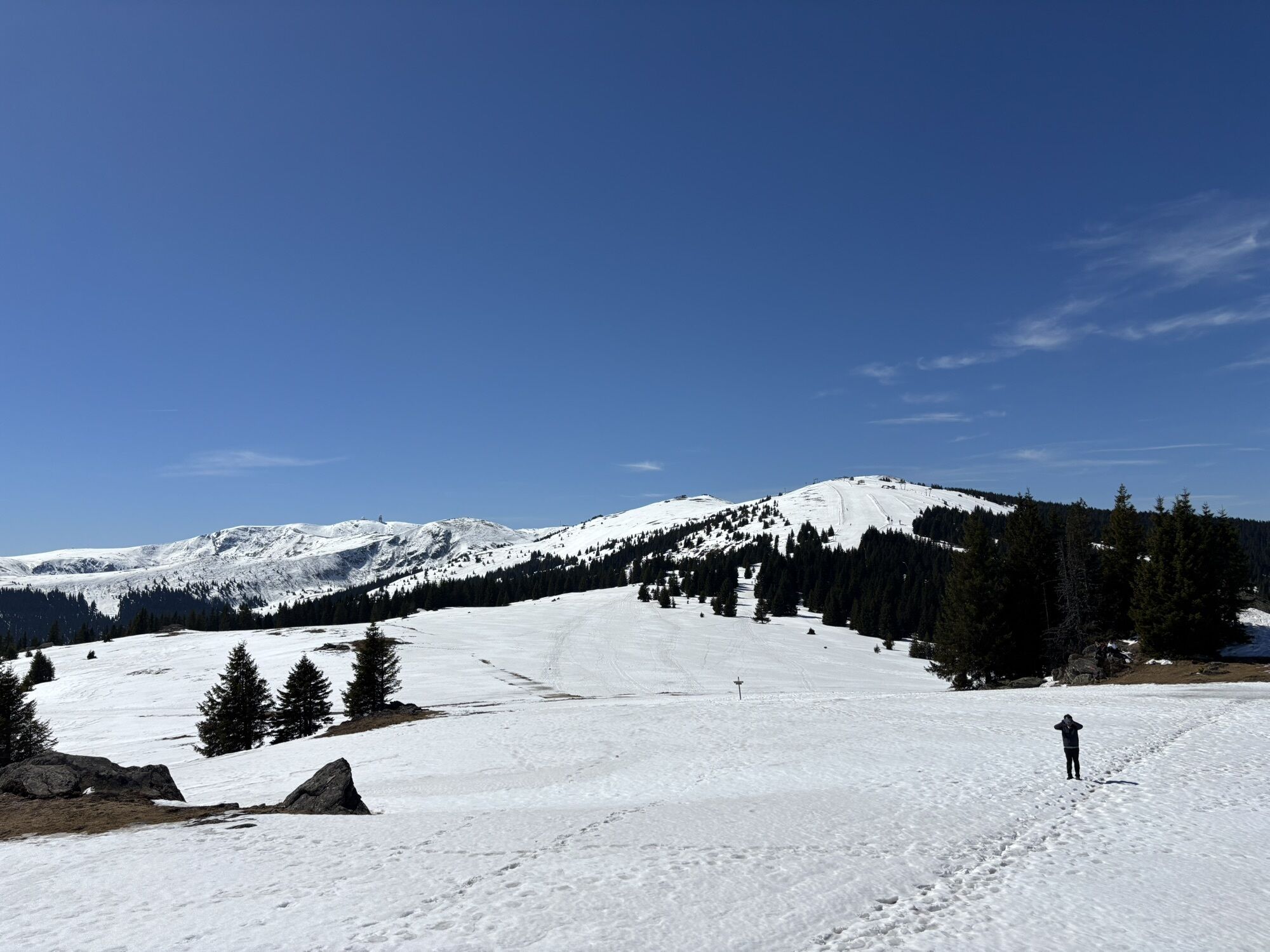
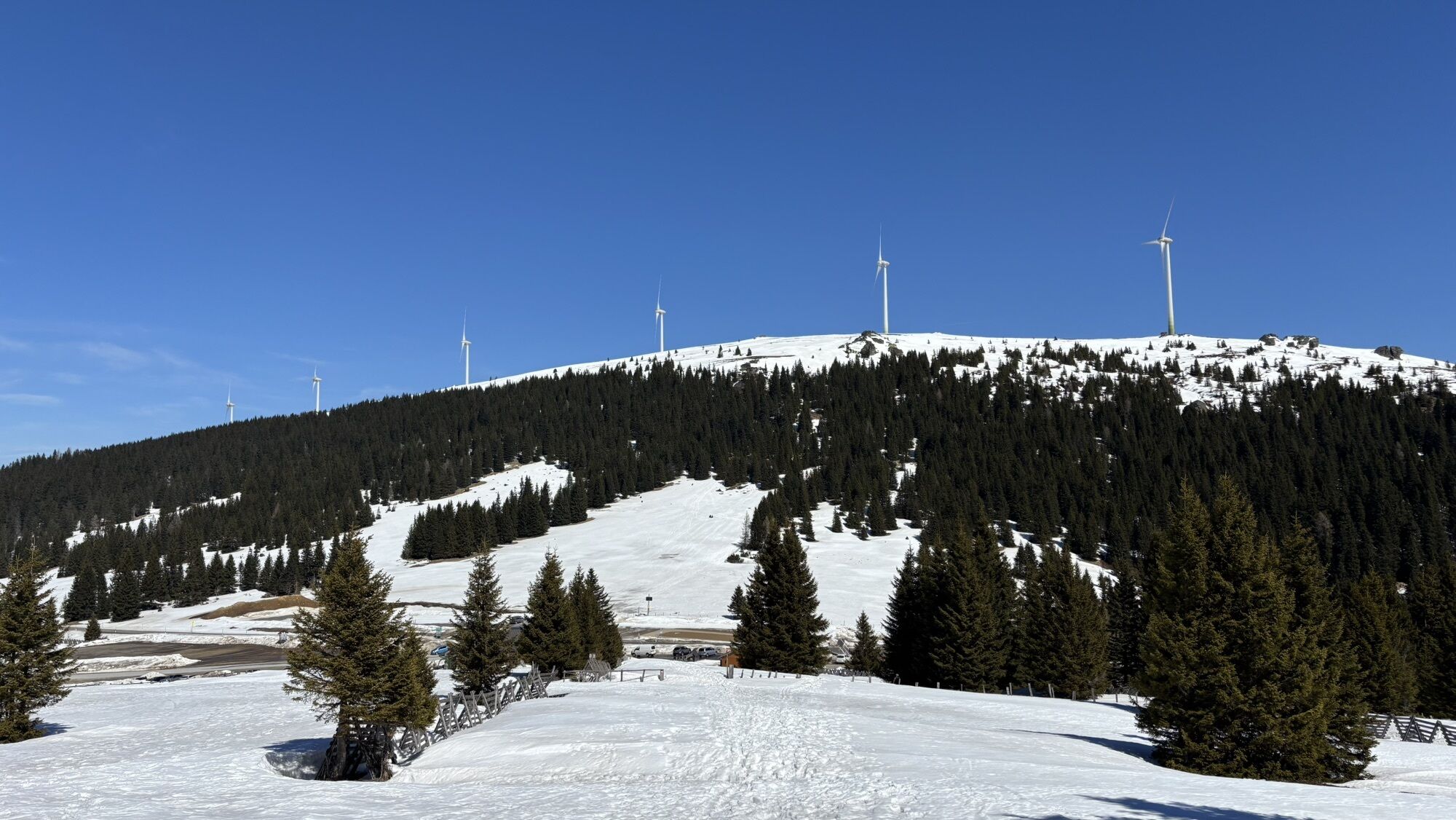
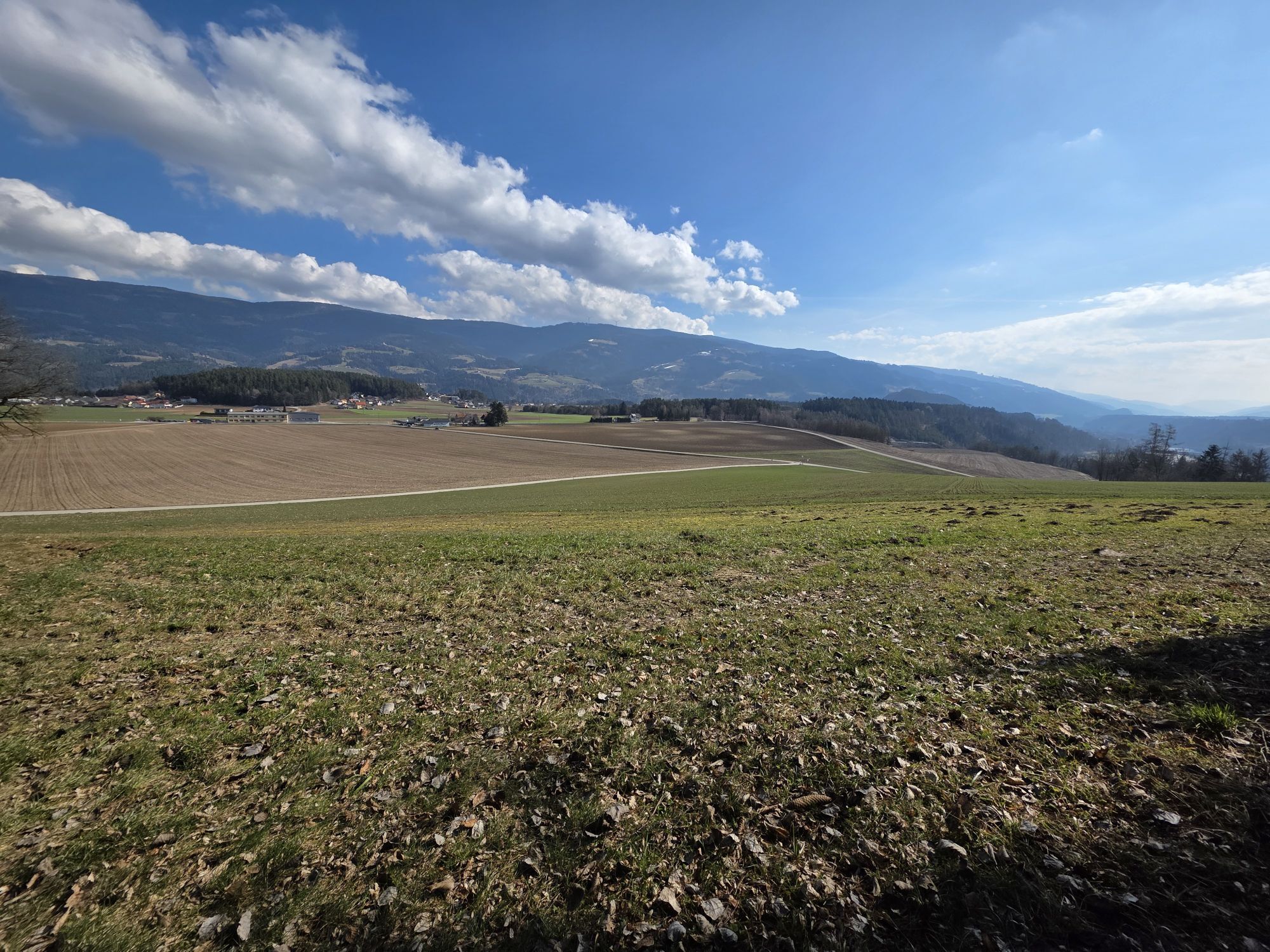
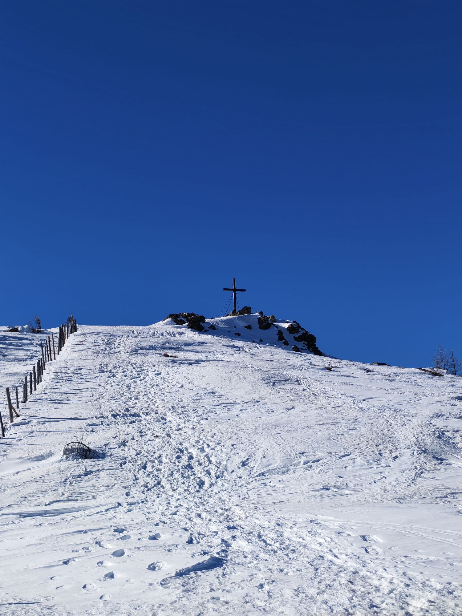
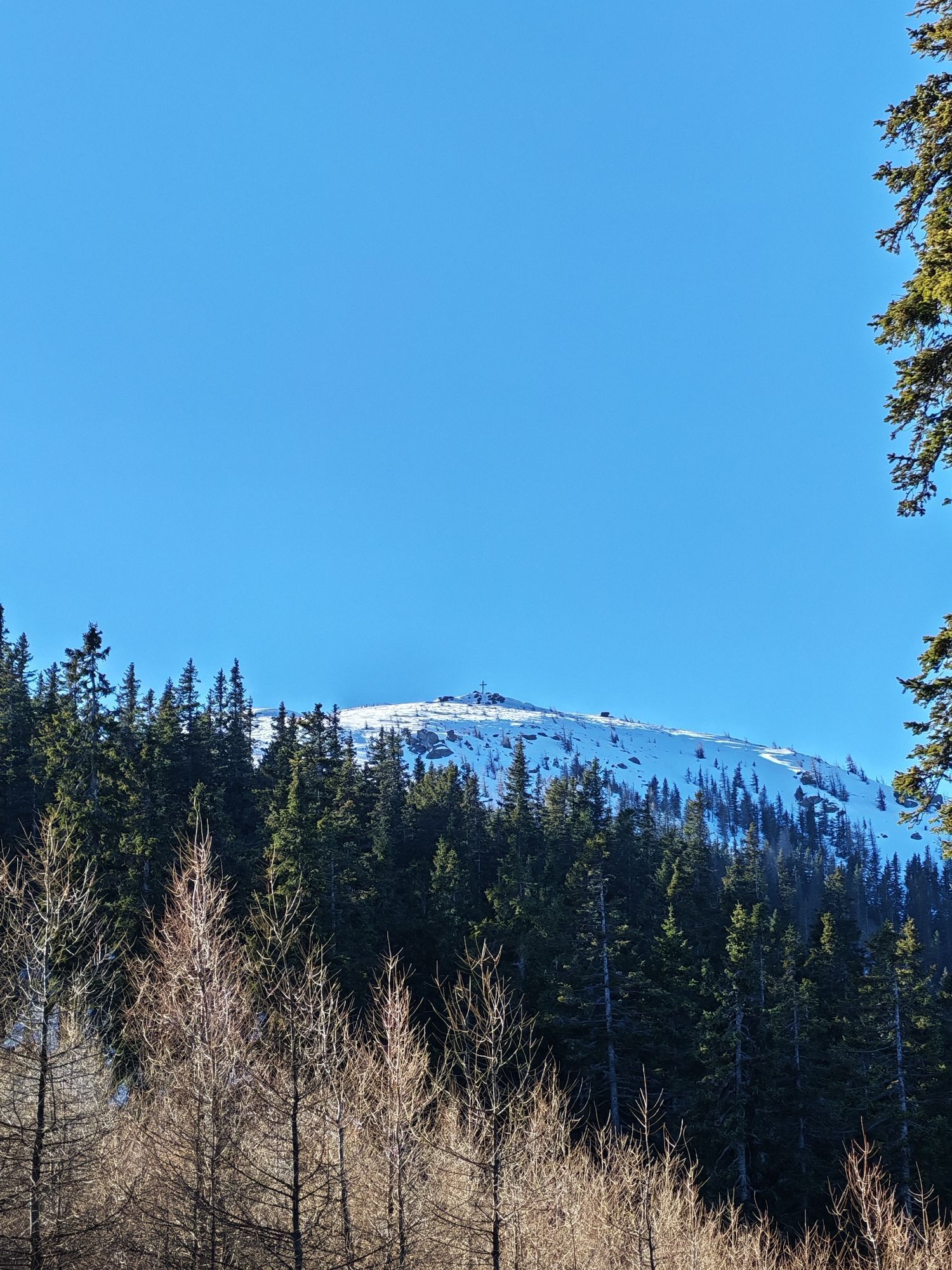
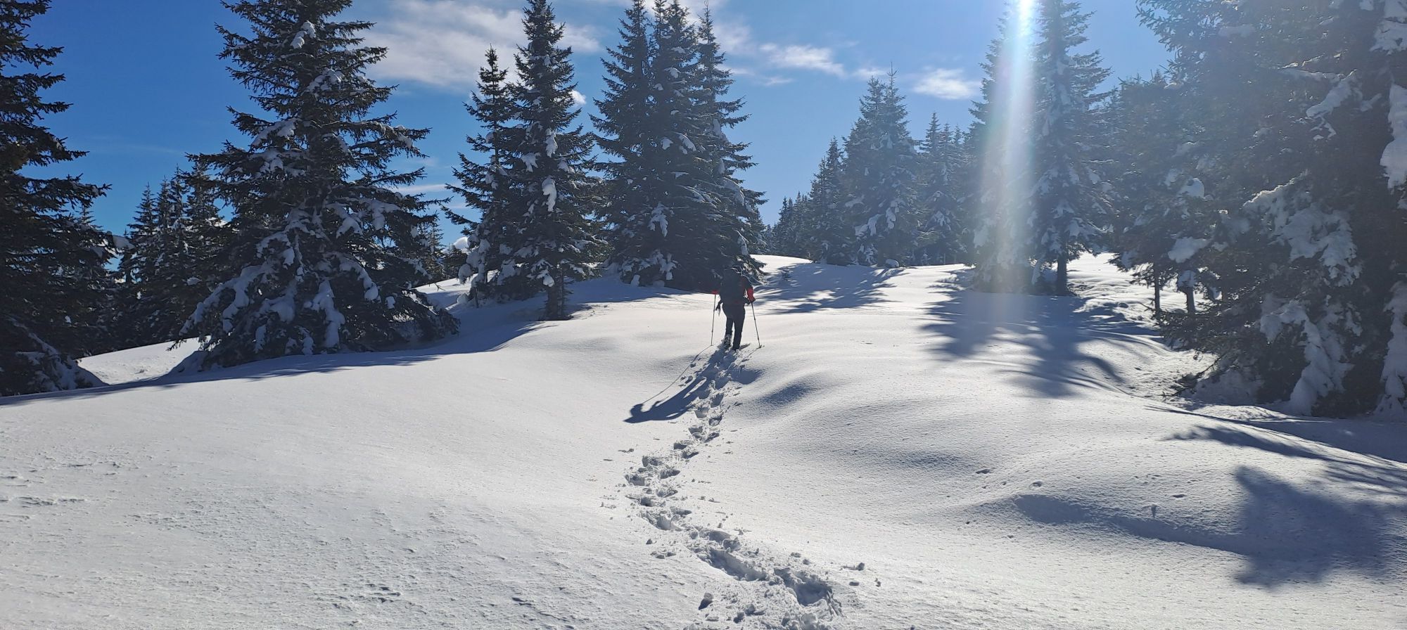
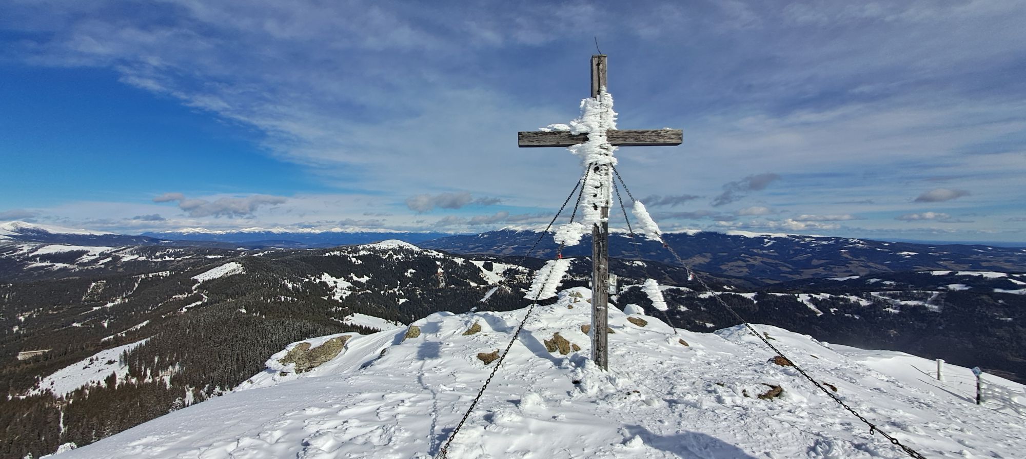
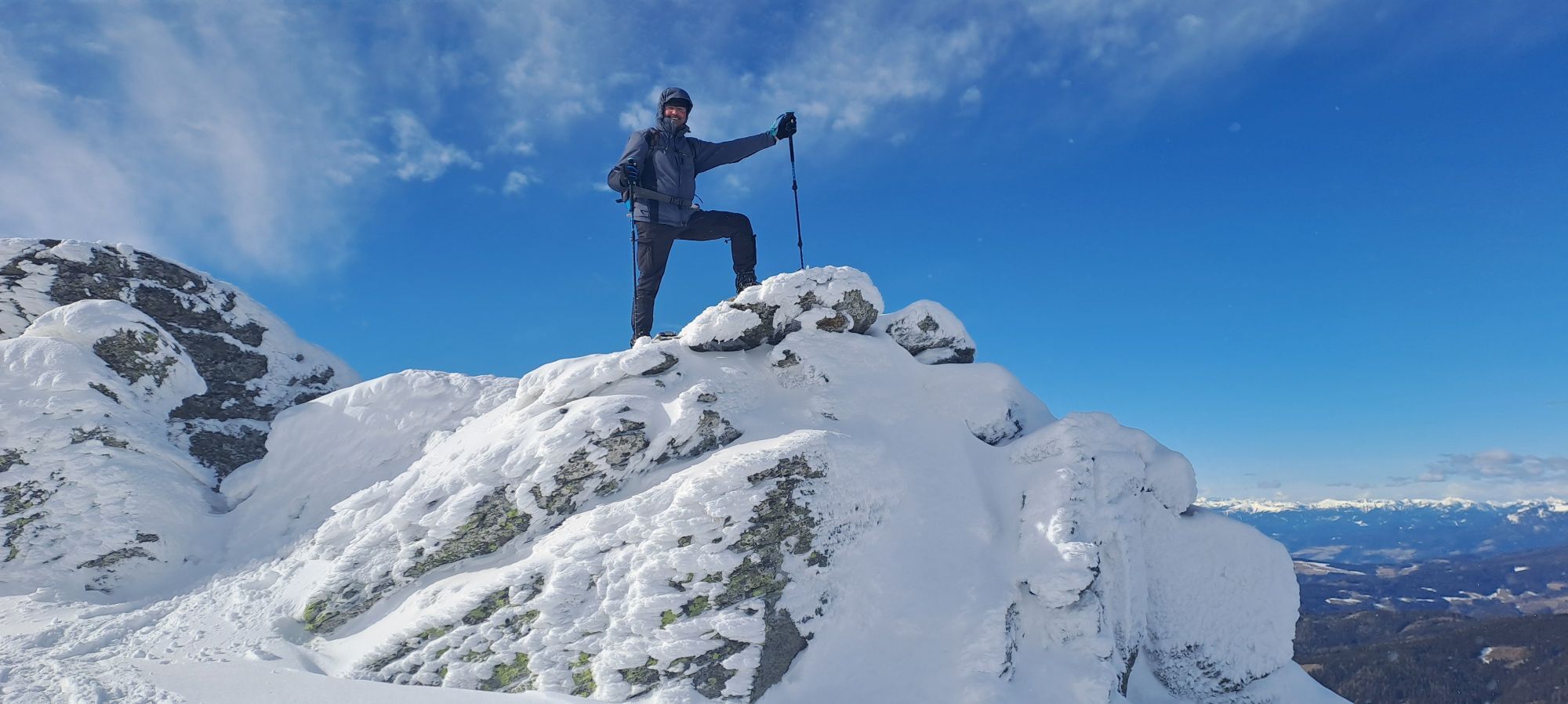
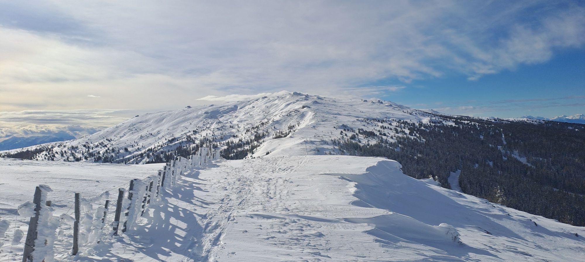
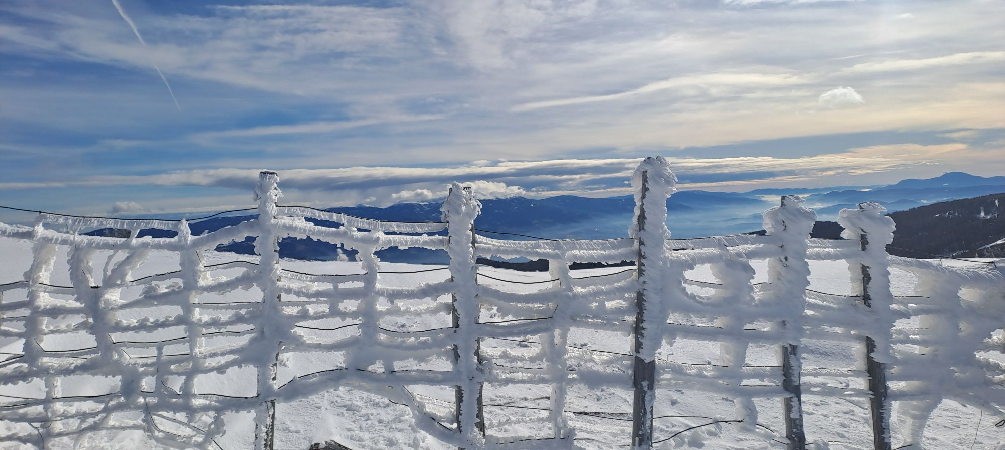
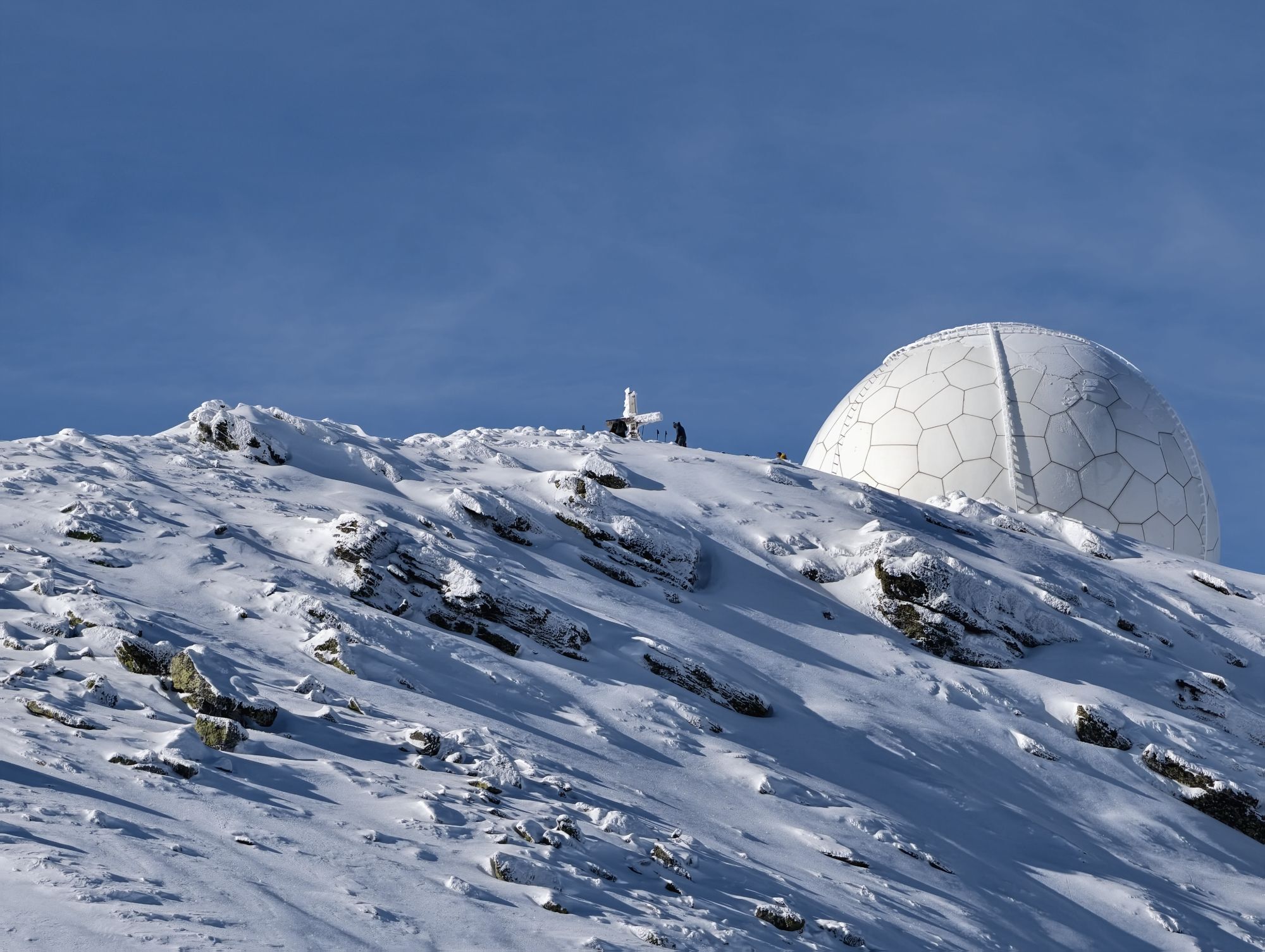
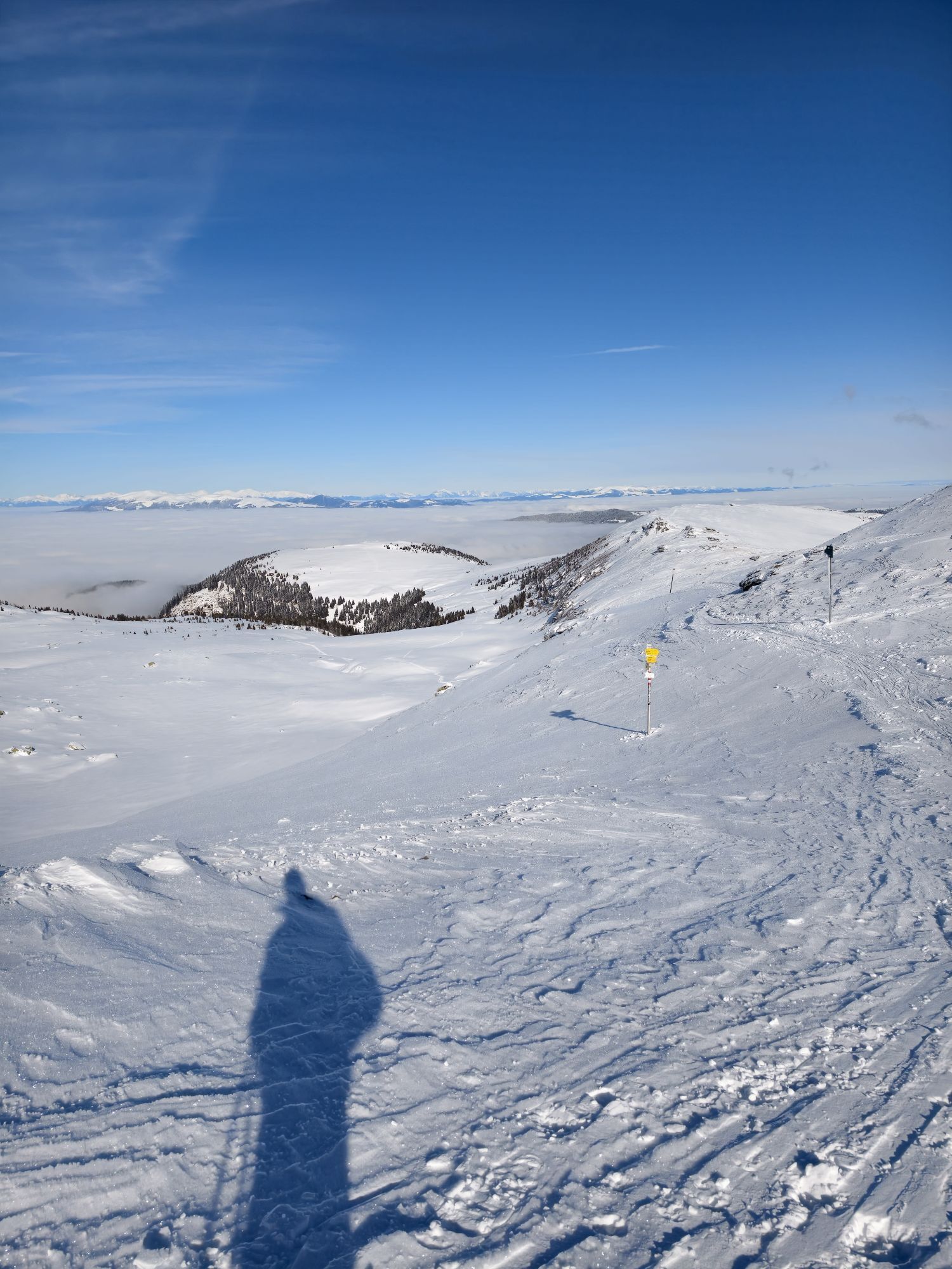
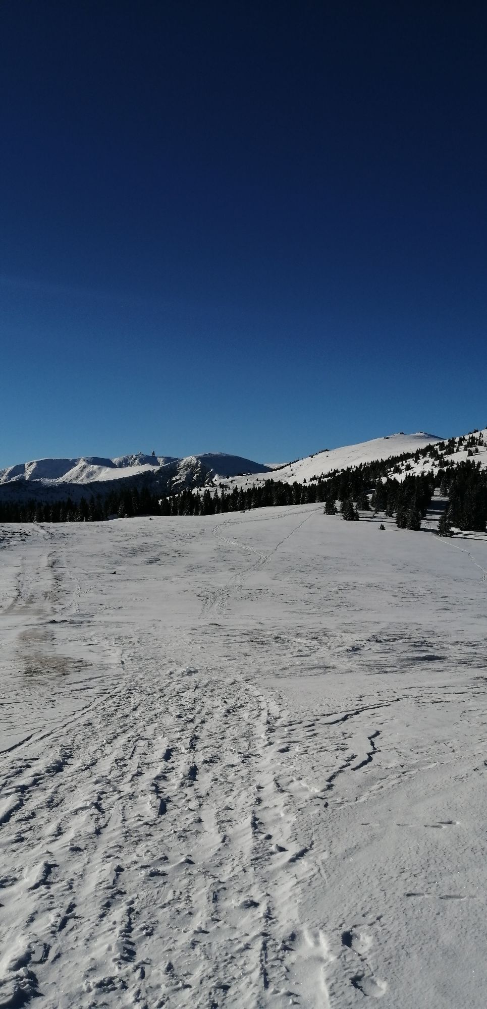
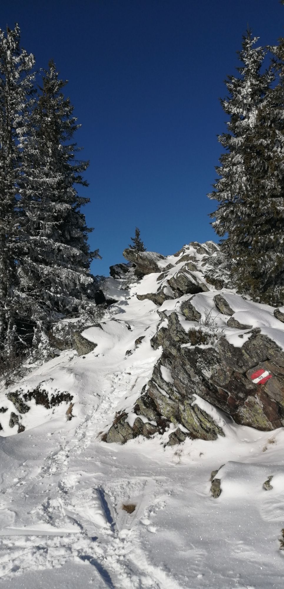
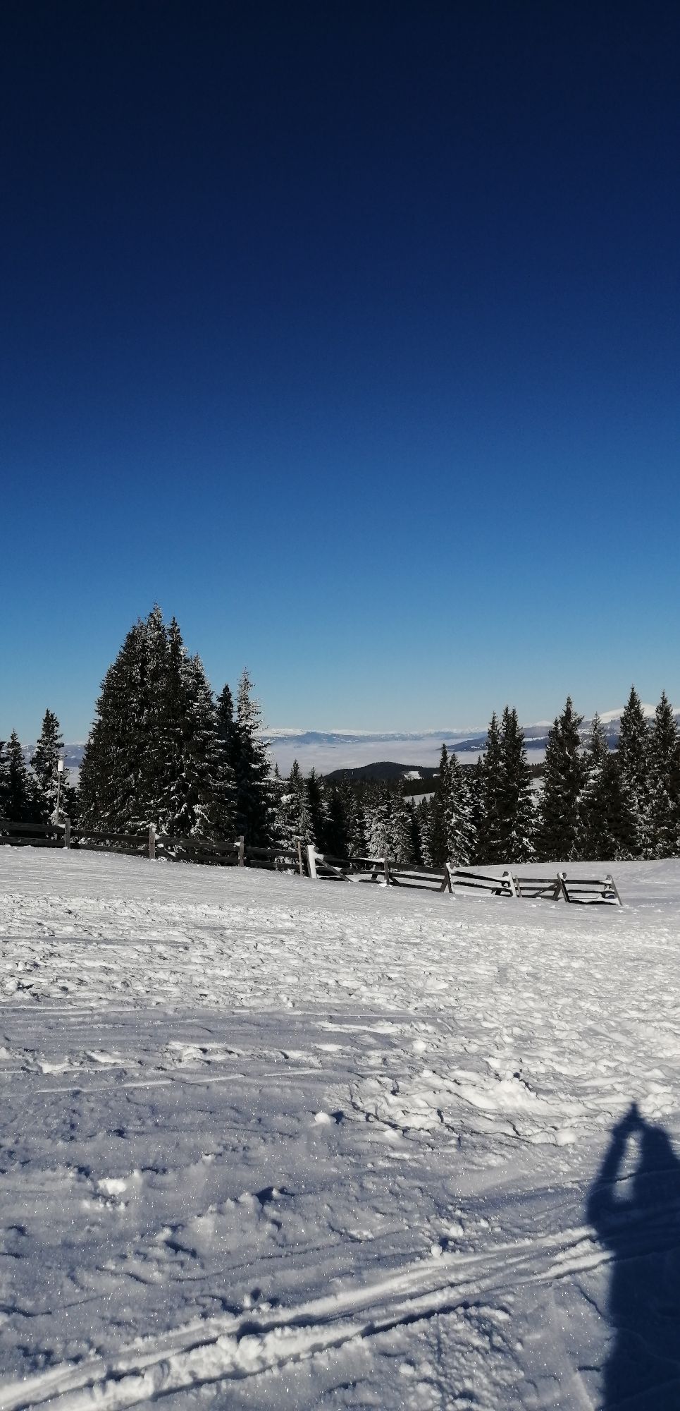
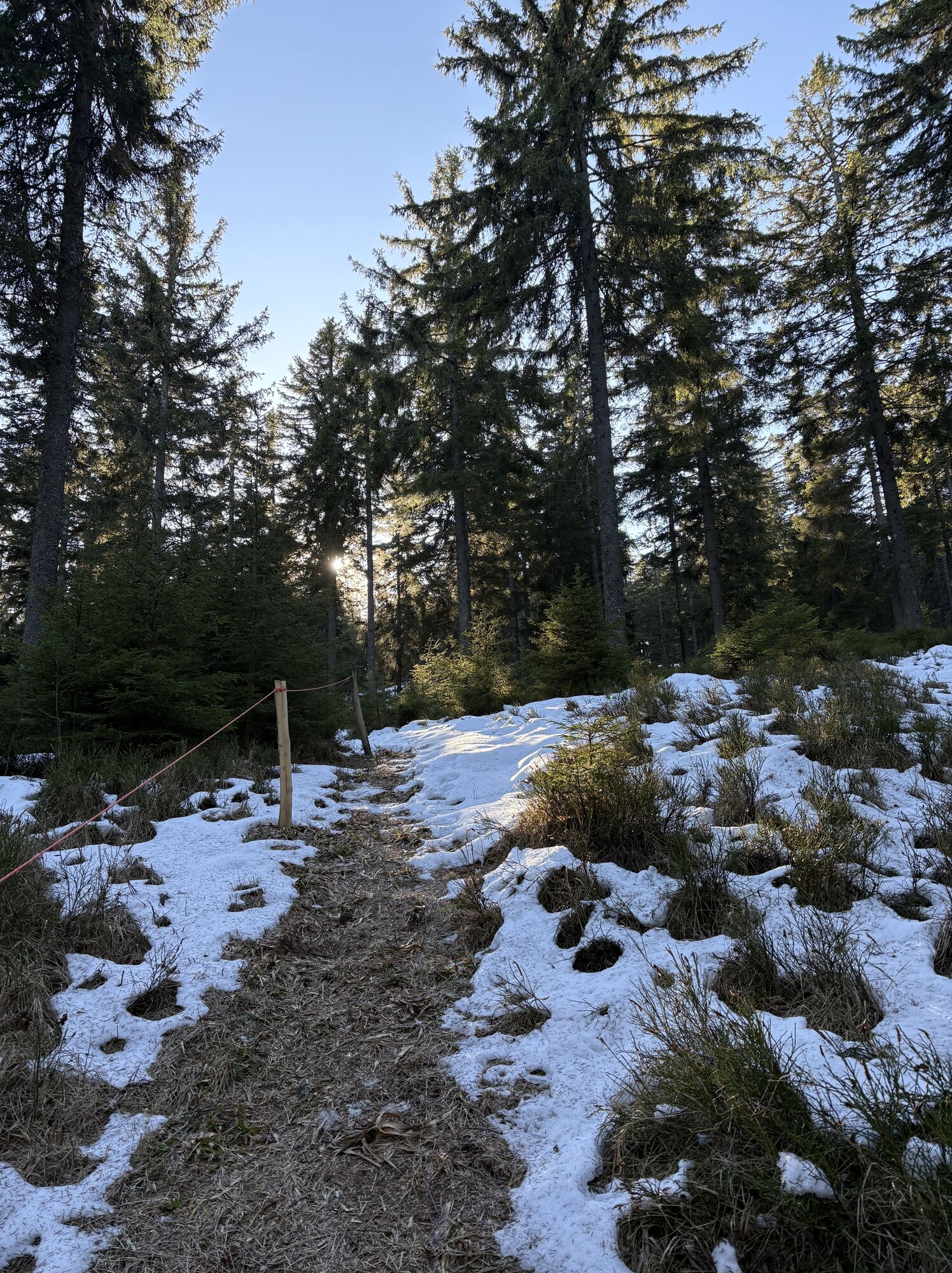
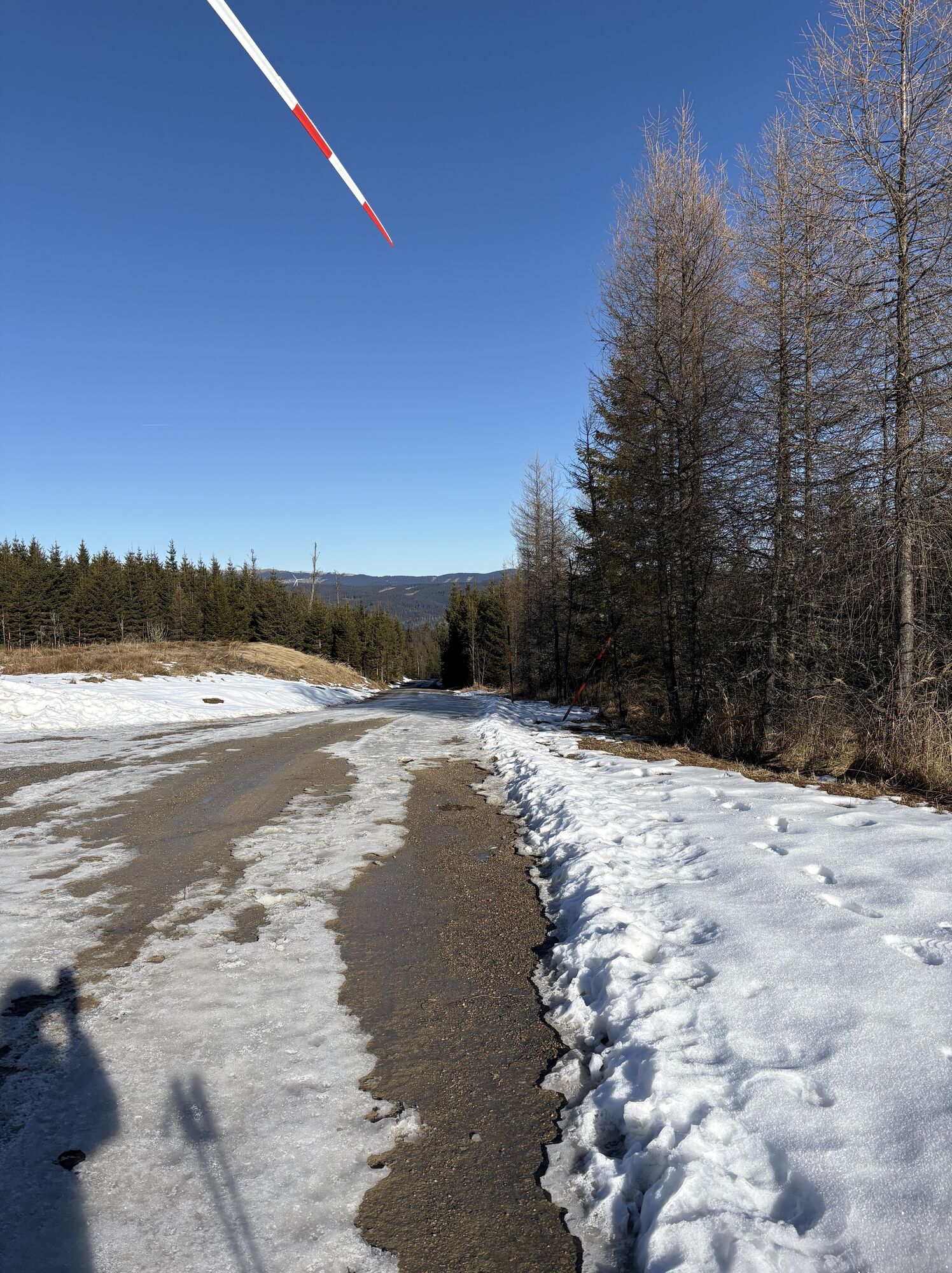
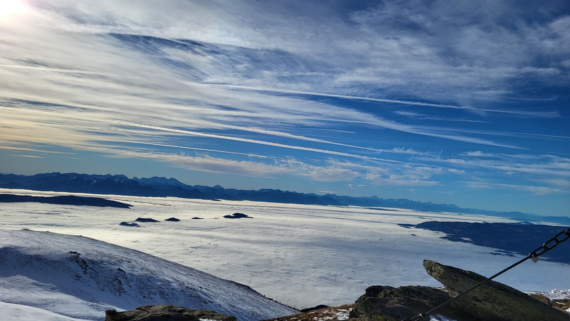
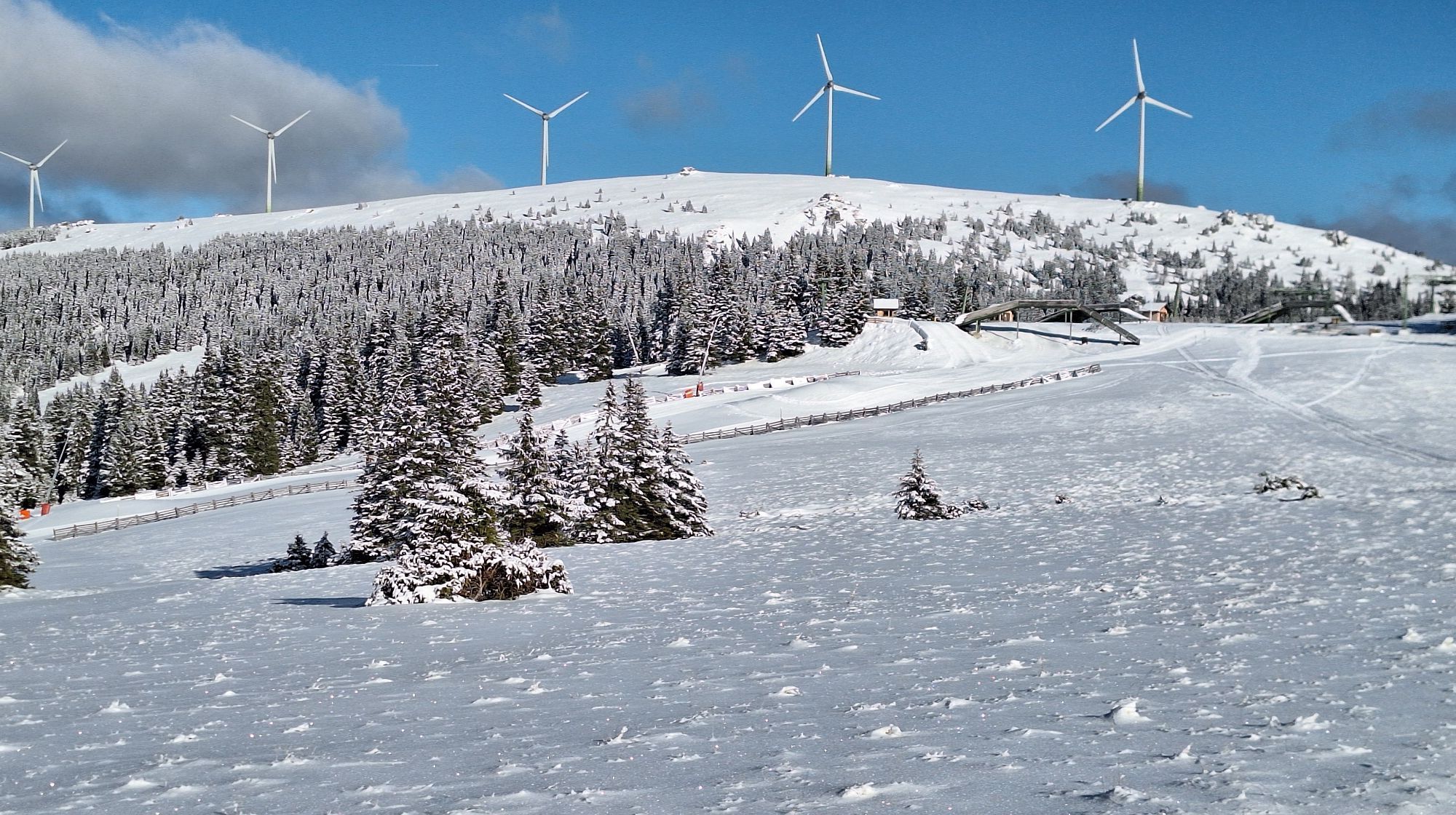
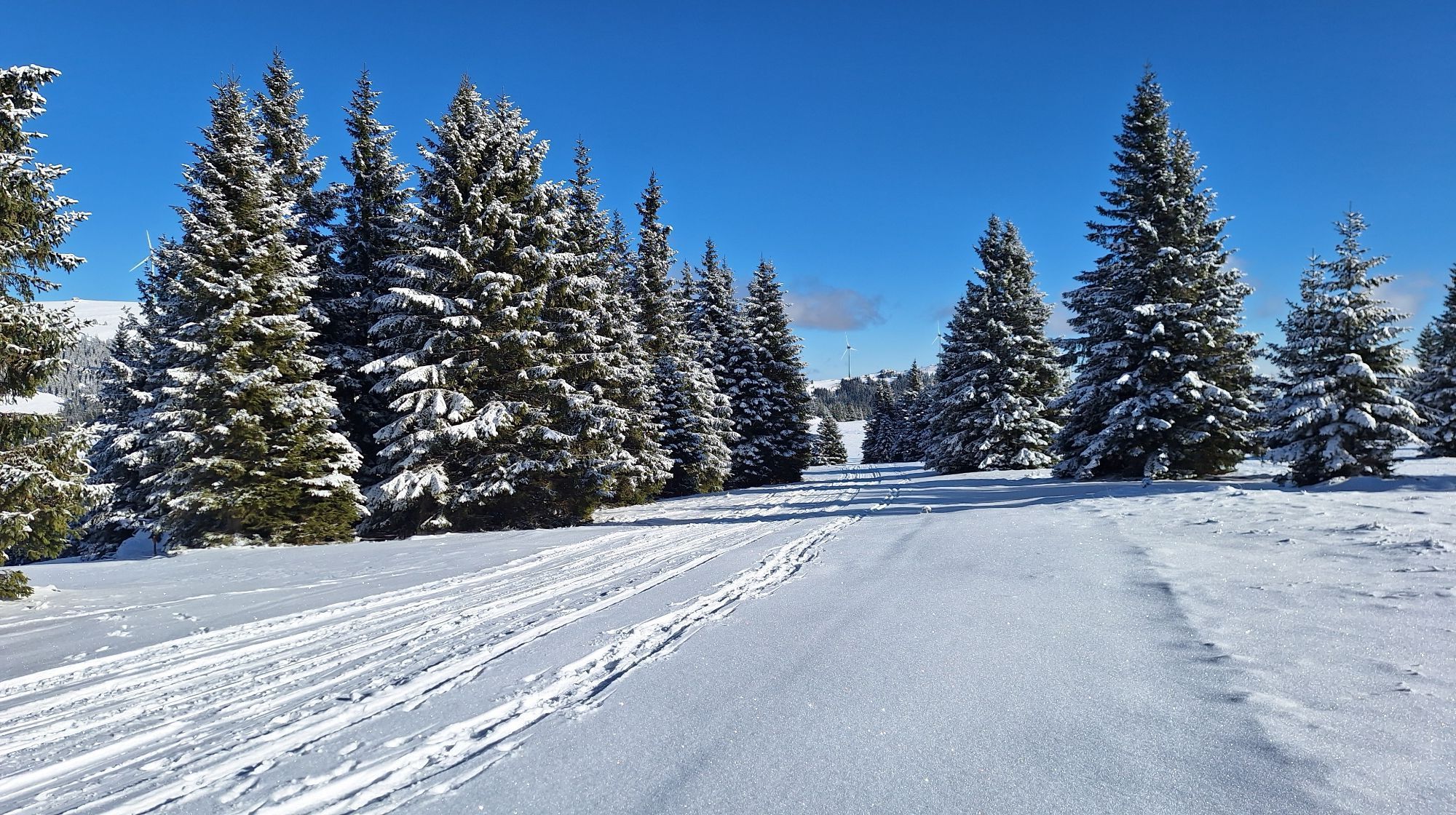
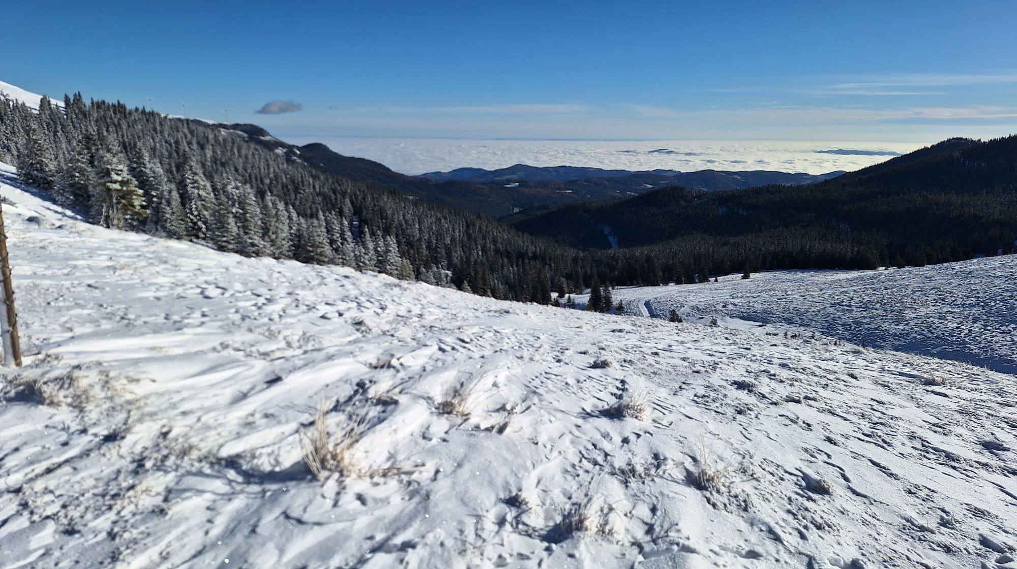
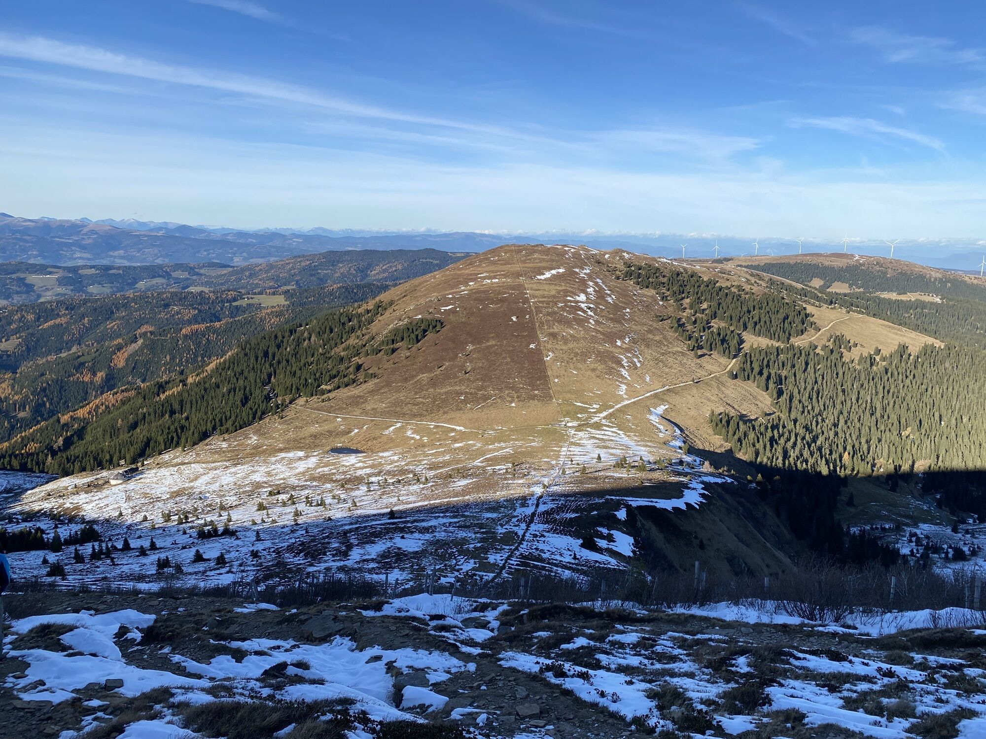
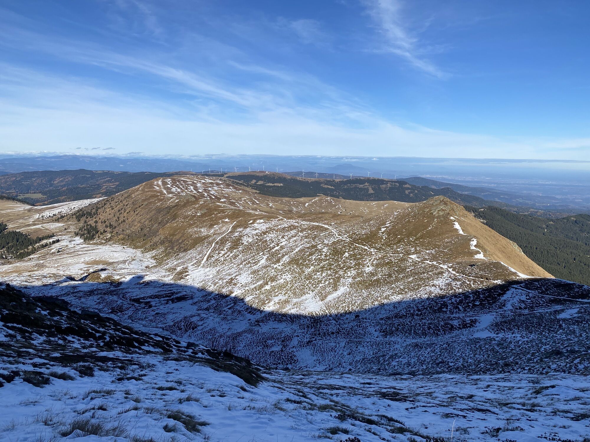
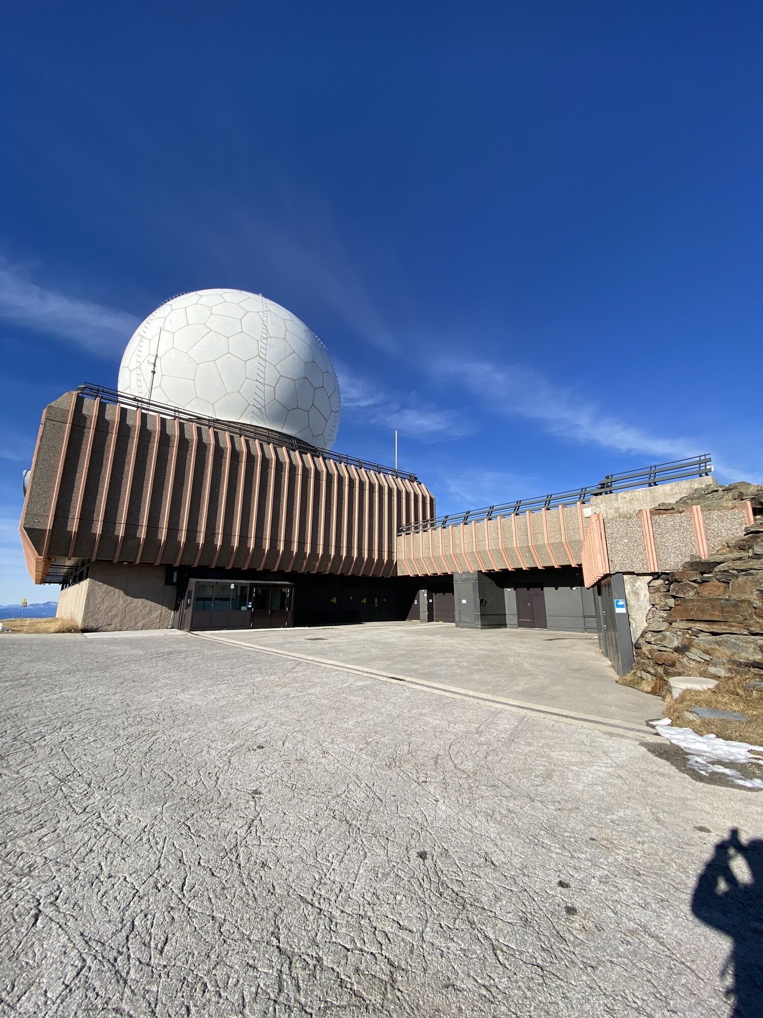
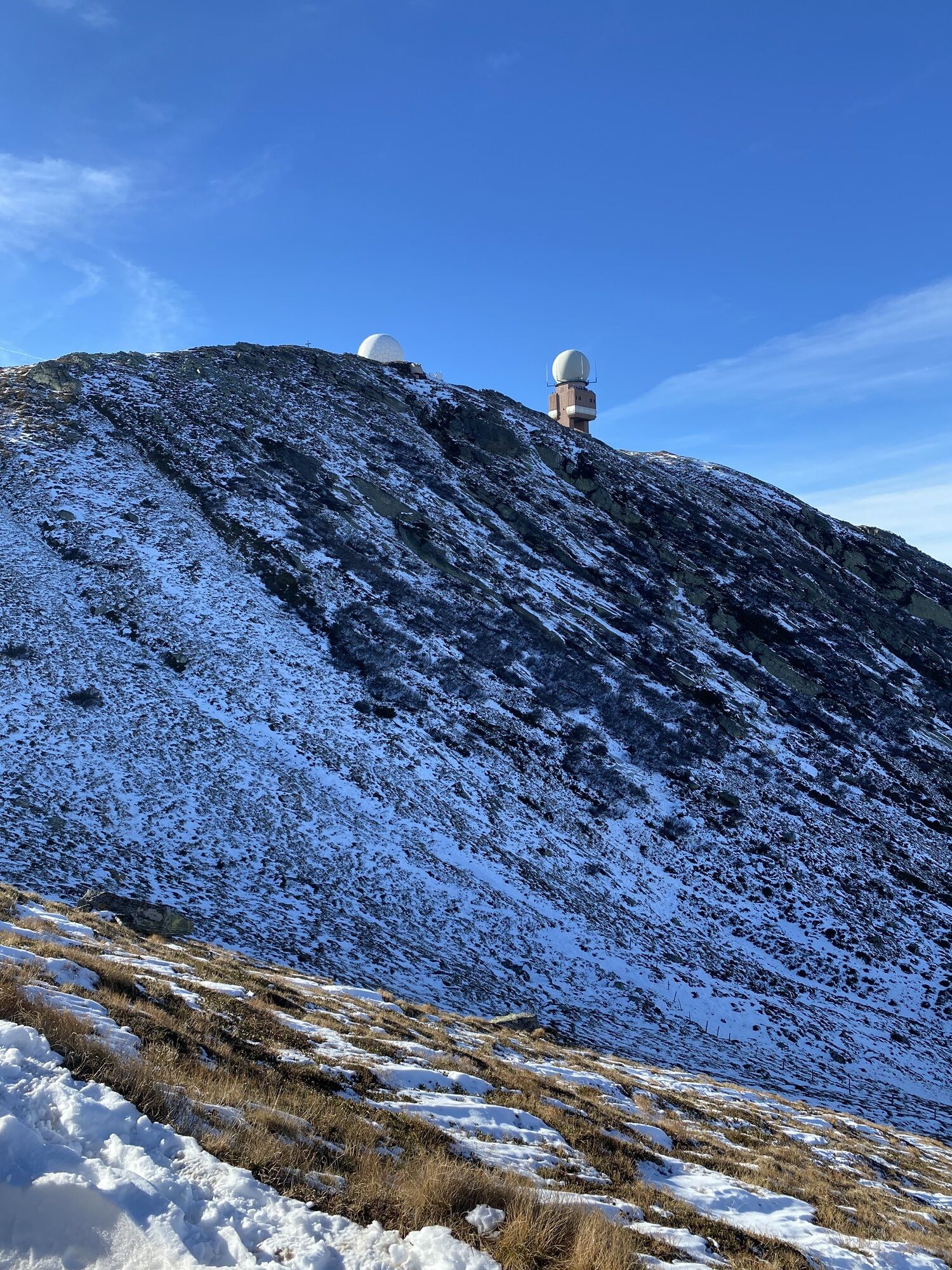
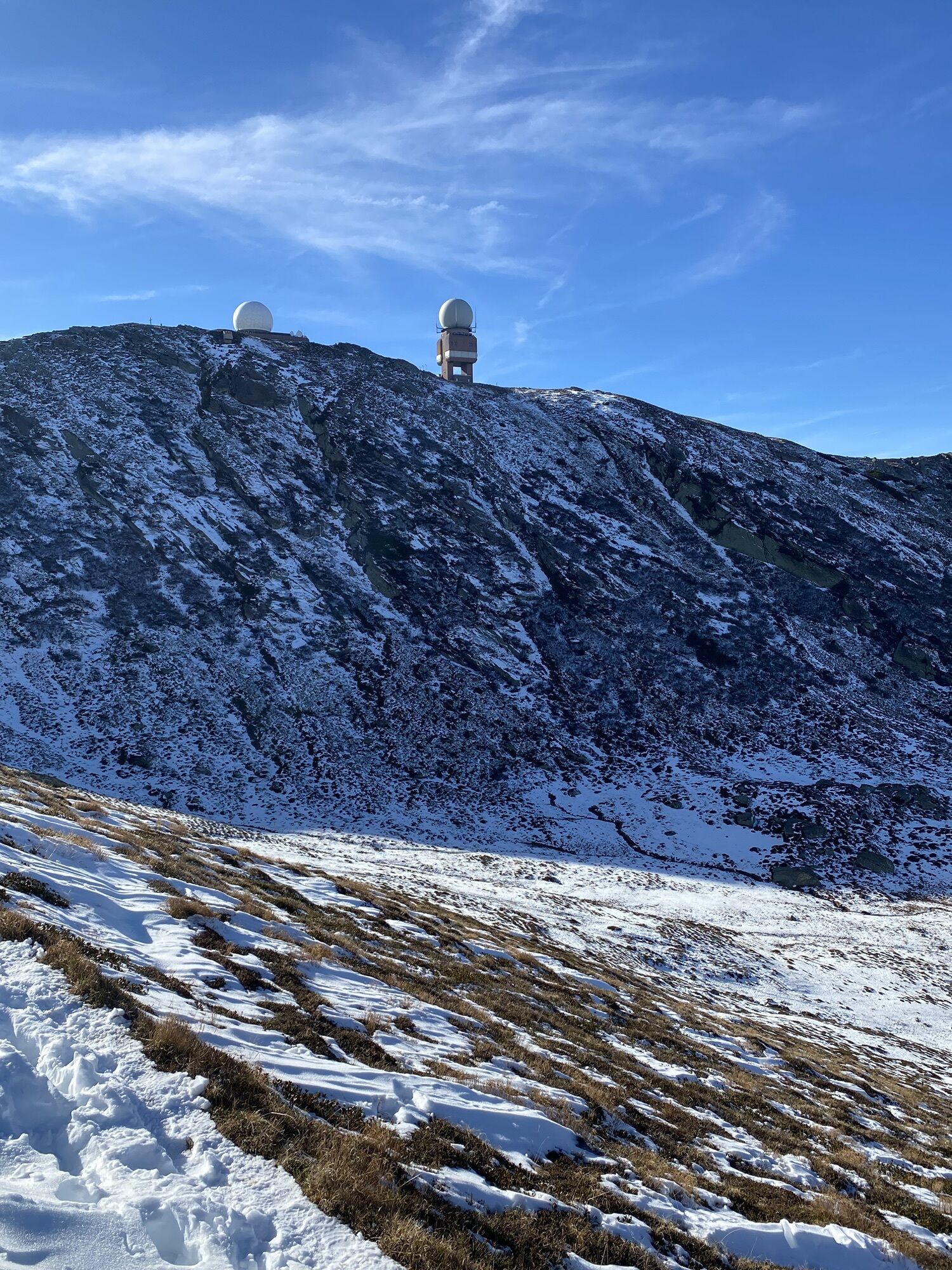
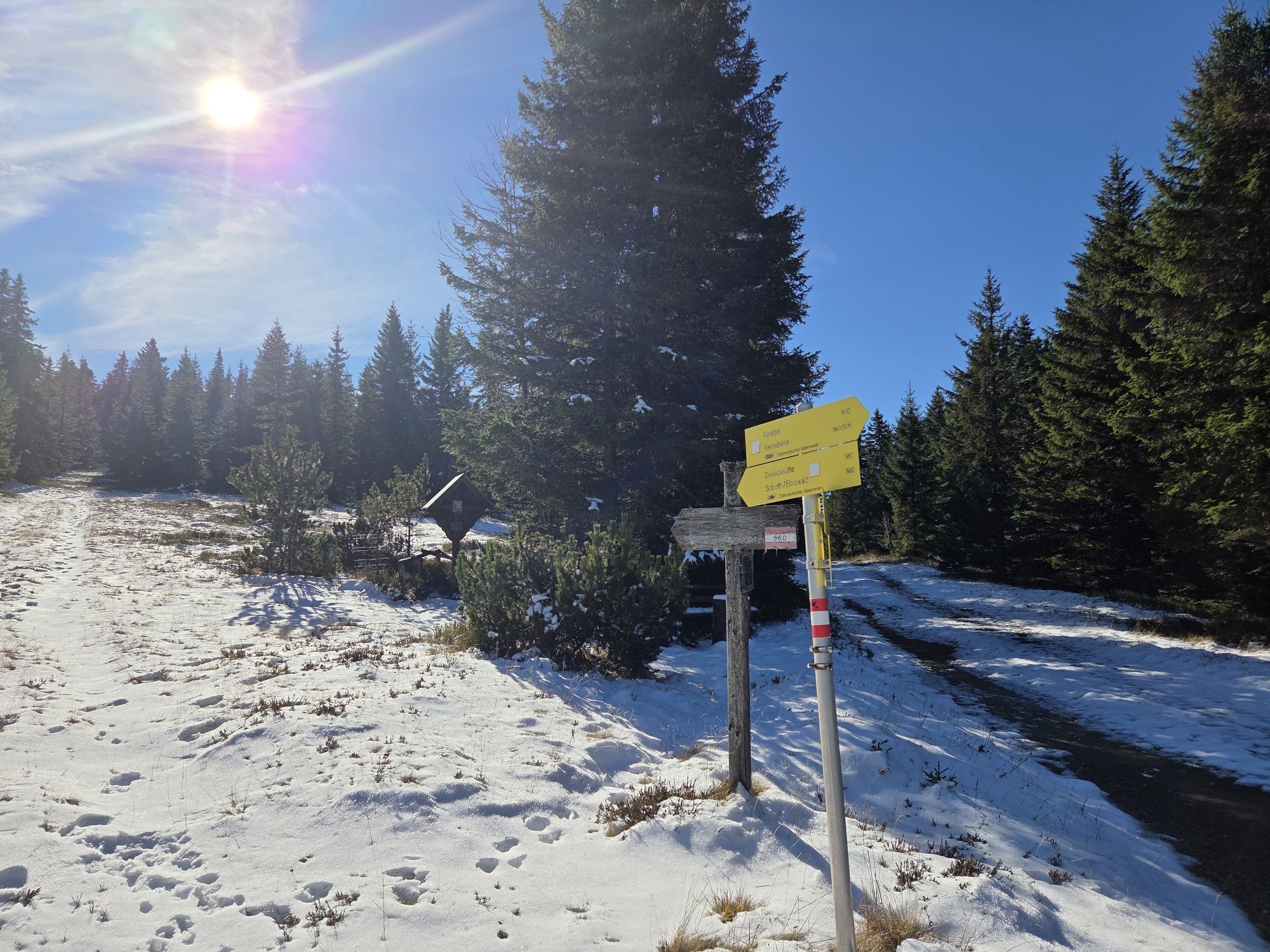
From the lowest point of Carinthia to over 2000 meters. Once on the ridges of the Kor- and Saualpe, it is partly high alpine but on lush and wide alpine meadows once around the Lavanttal. The Lavanttal...
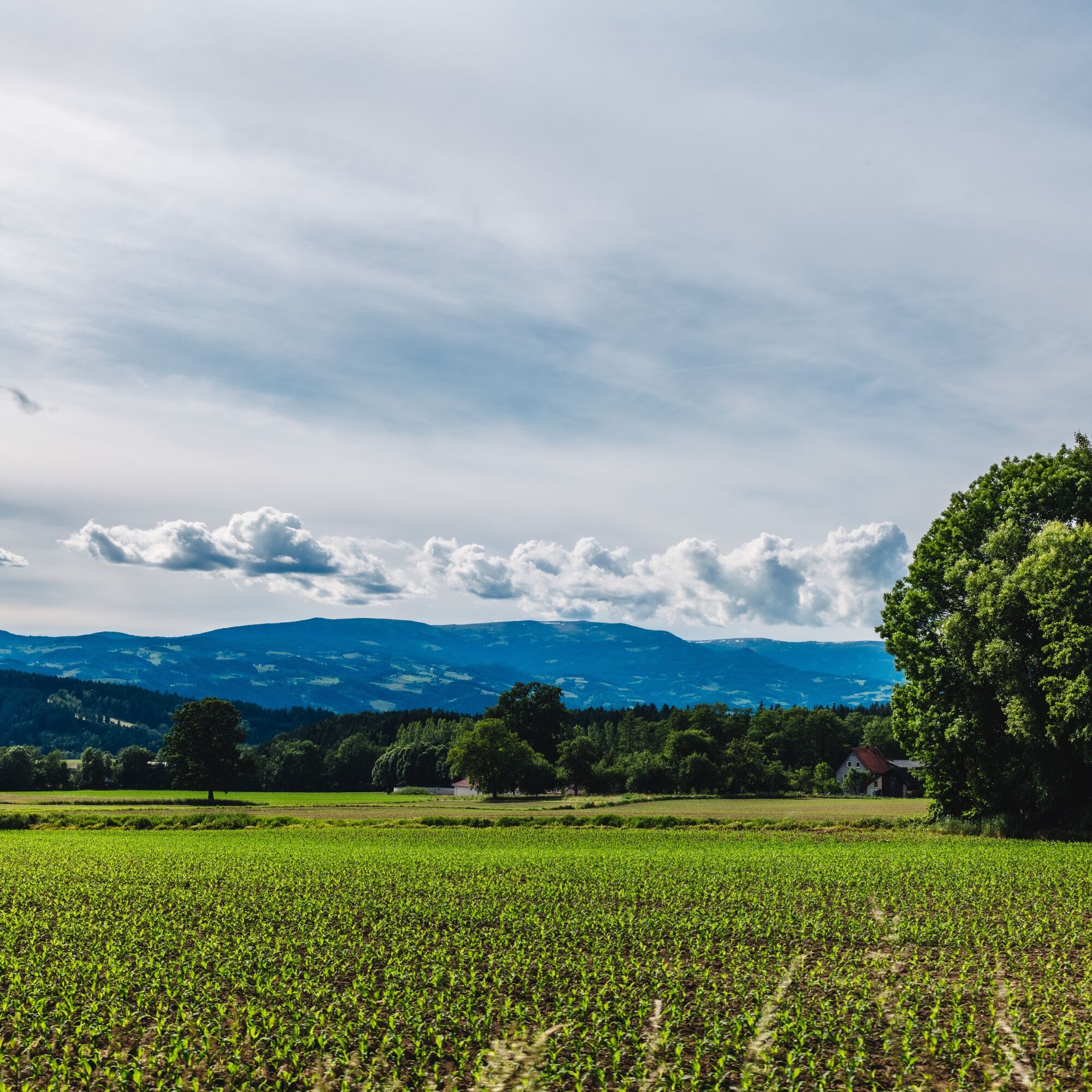
Nestled between Koralpe and Saualpe, the easternmost holiday region of Carinthia truly counts among the most beautiful valleys of southern Austria.
The Saualpe, with its gentle mountain peaks and breathtaking panorama, is a true gem. Here, Carinthia truly lies at your feet.
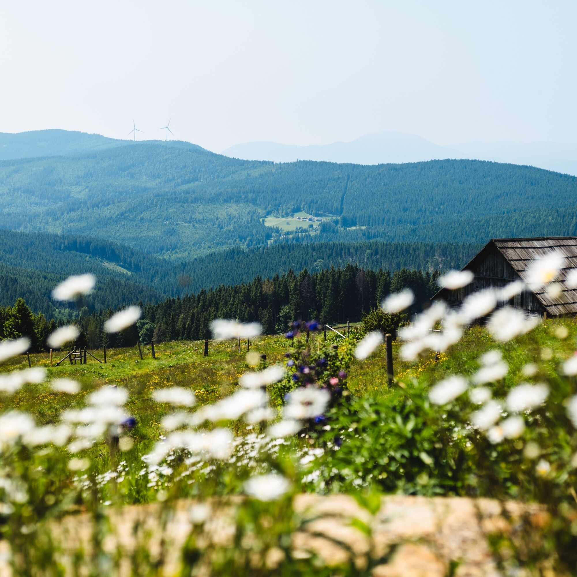
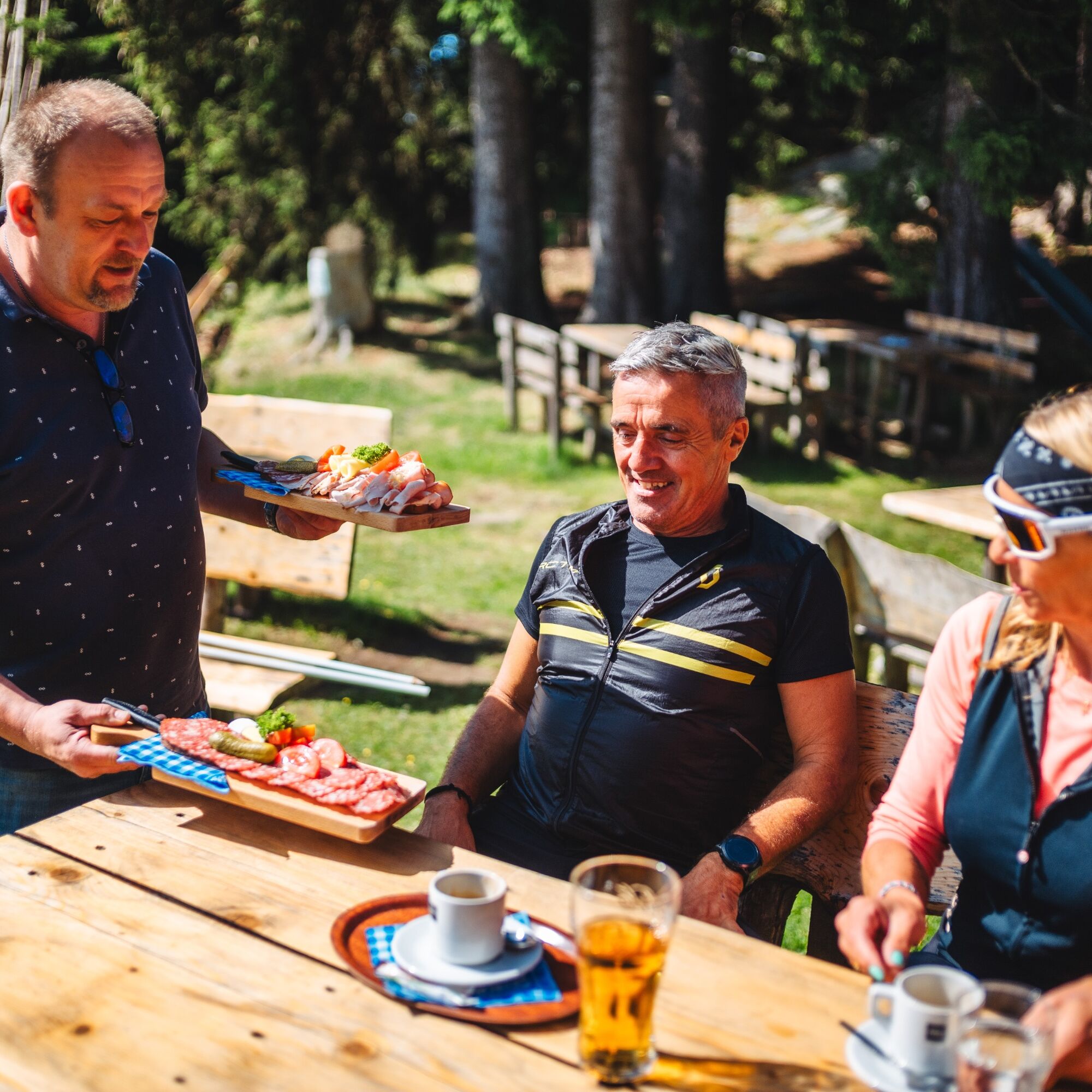
The magnificent landscape, numerous huts, and mystical places along the path invite exploration.
Tip: Families with children should have experience with multi-hour hiking tours. Tips for hiking with children at ÖAV - Hiking with children.
Attention: On stages 1 from Lavamünd to Stiftshütte and stage 7 from Wolfsberger Hut to Griffner Berg, overnight stays are currently not possible.

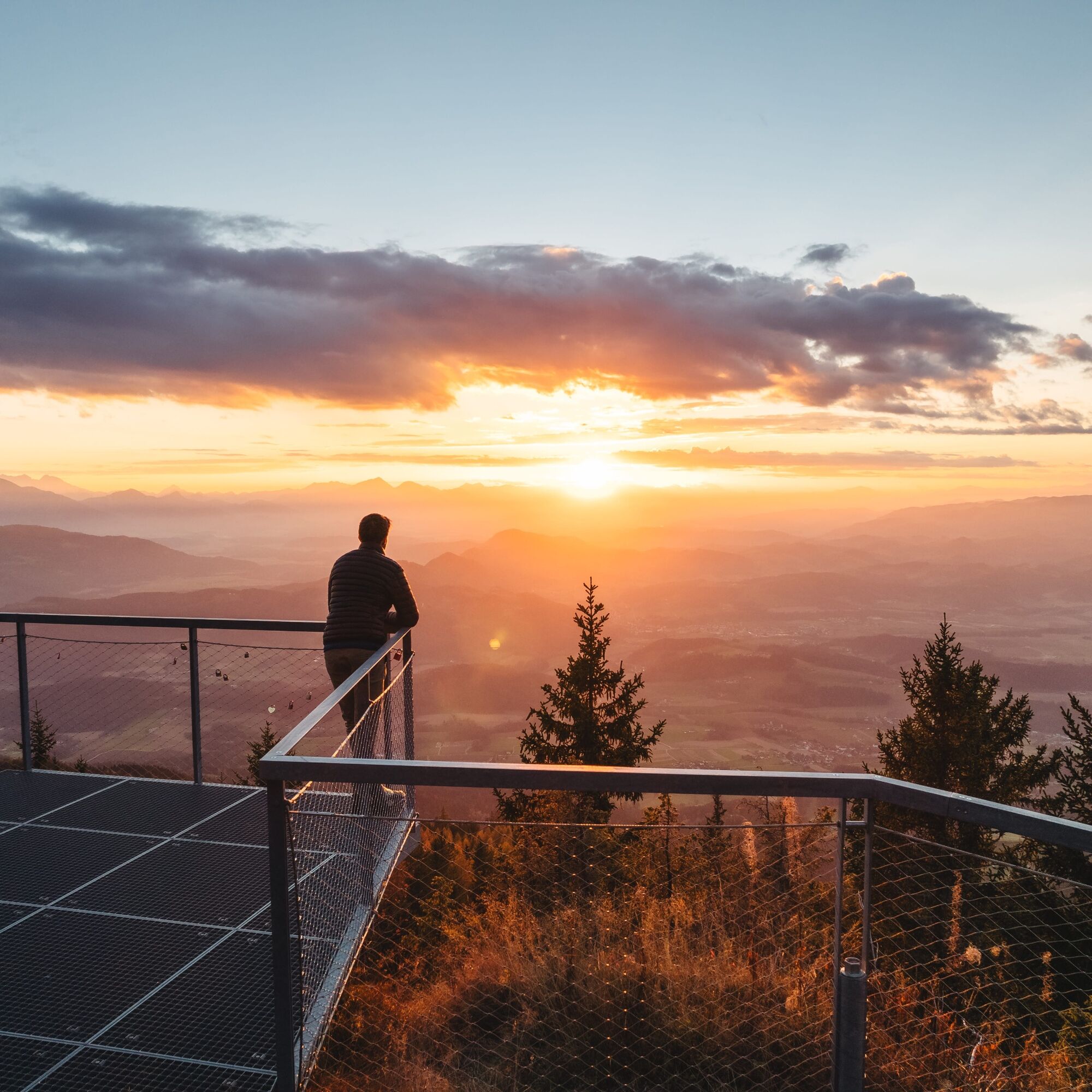
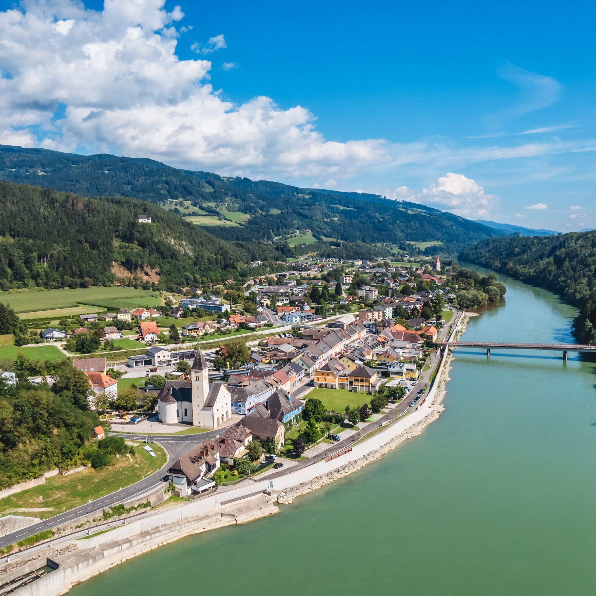
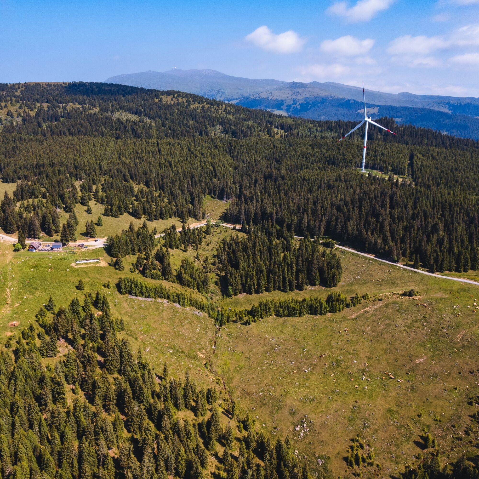
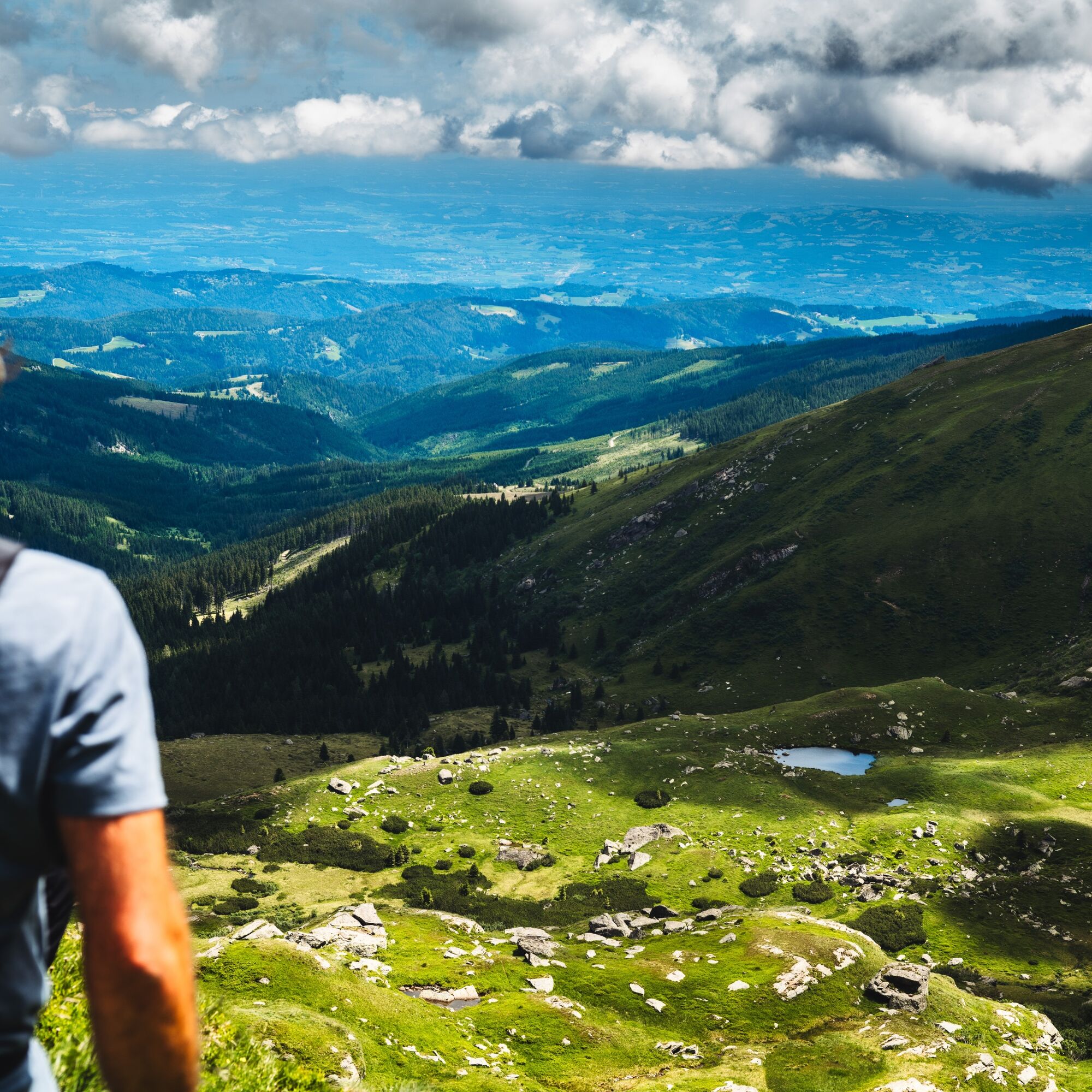
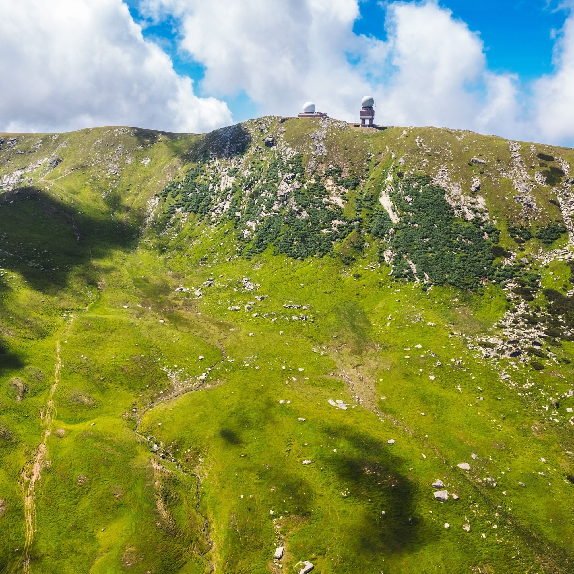
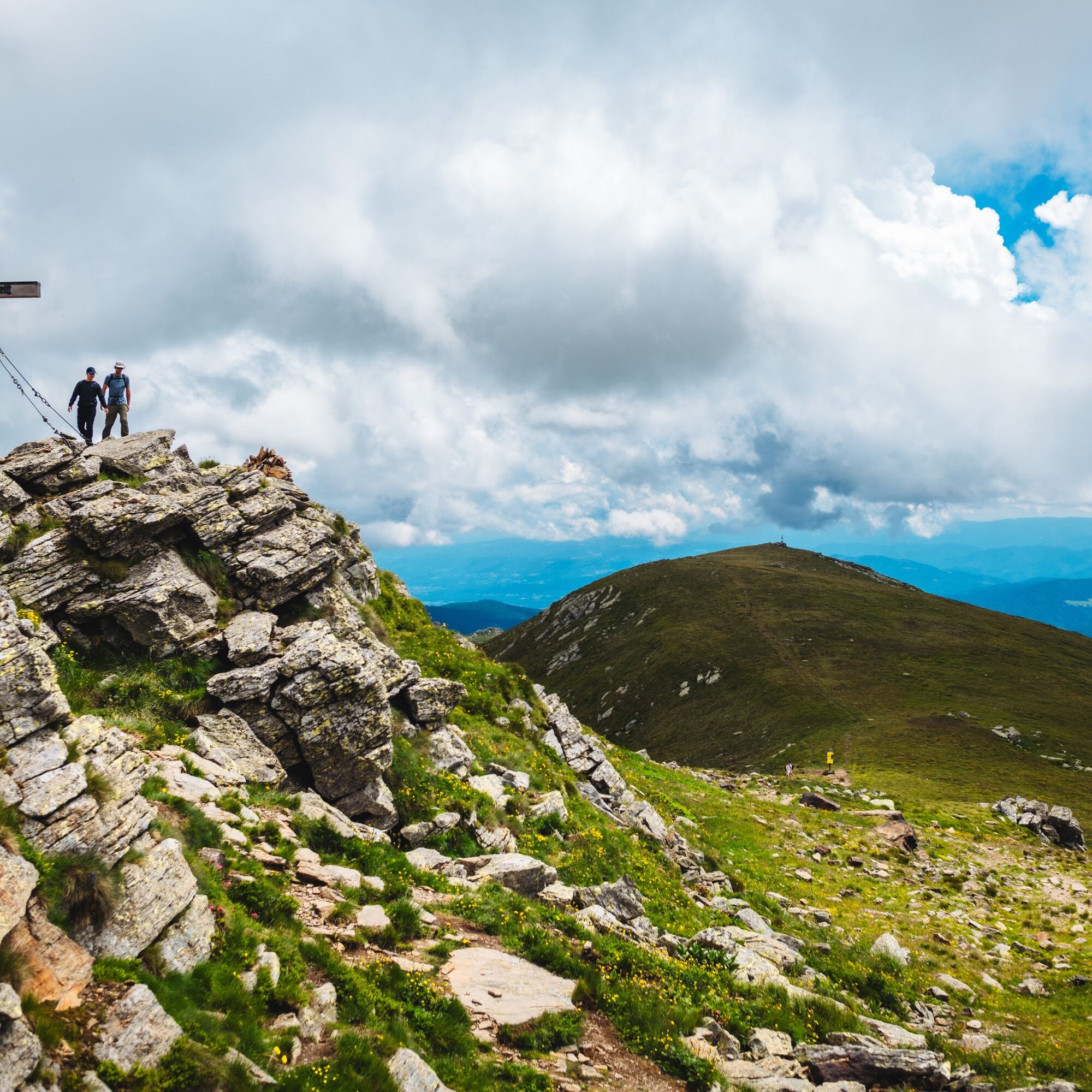
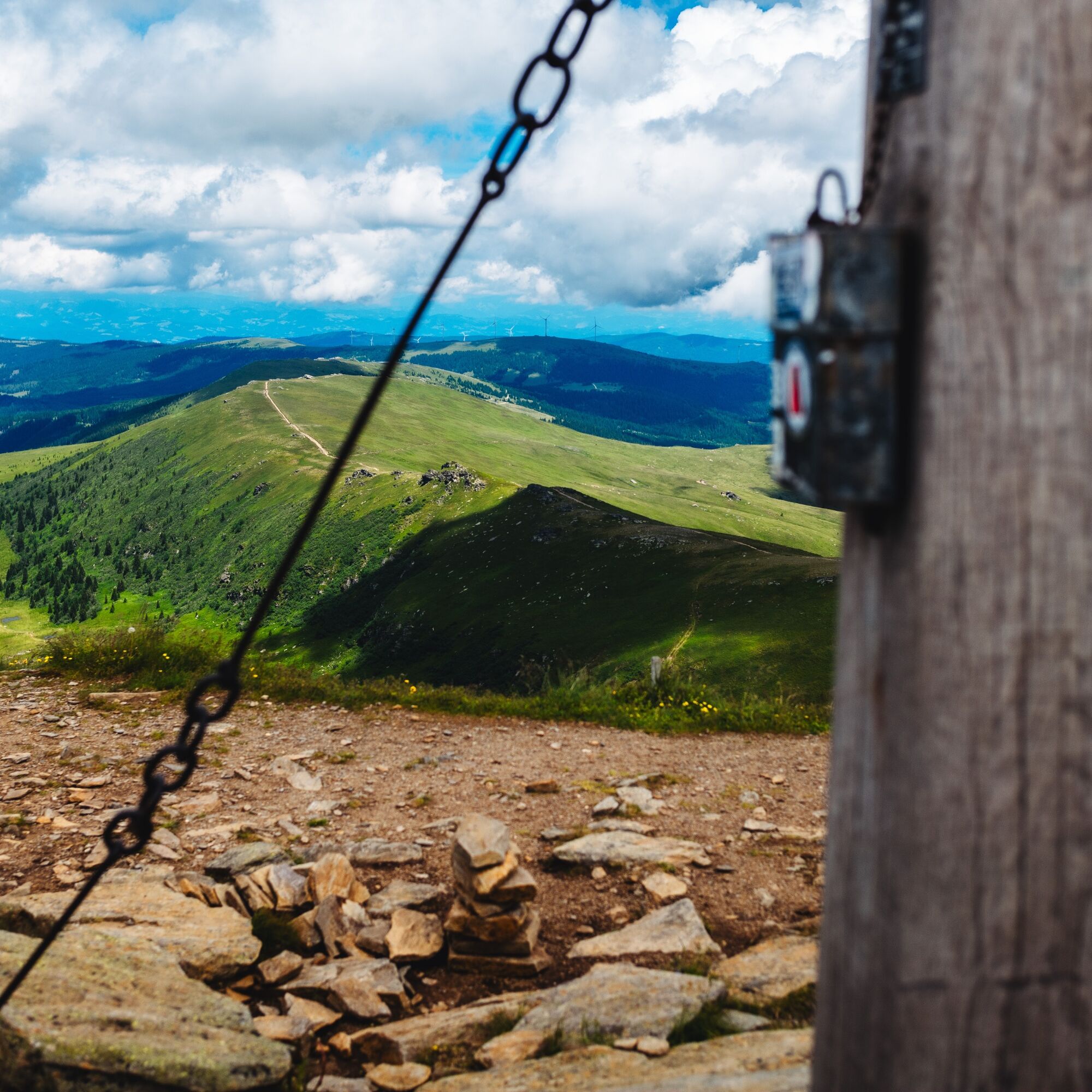
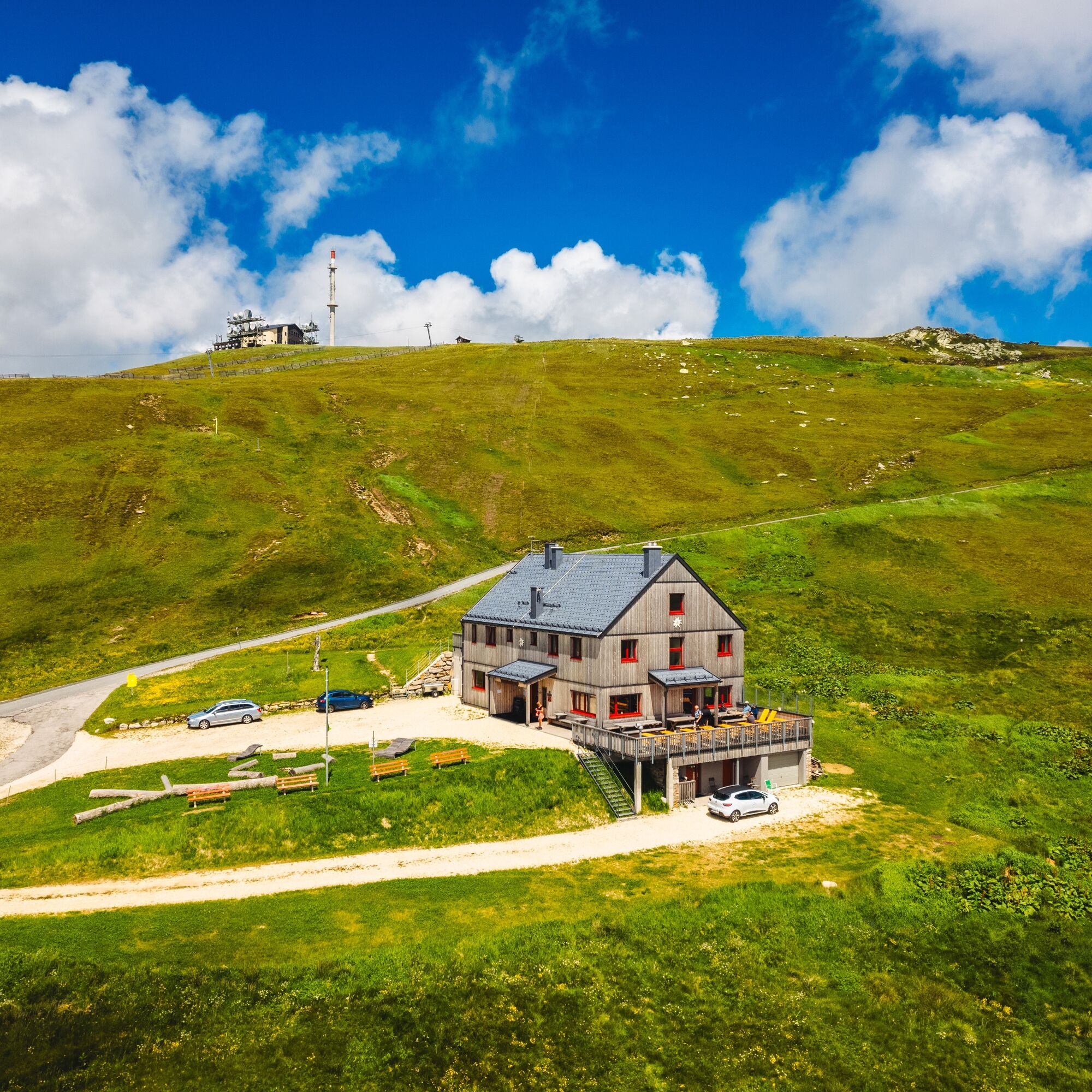
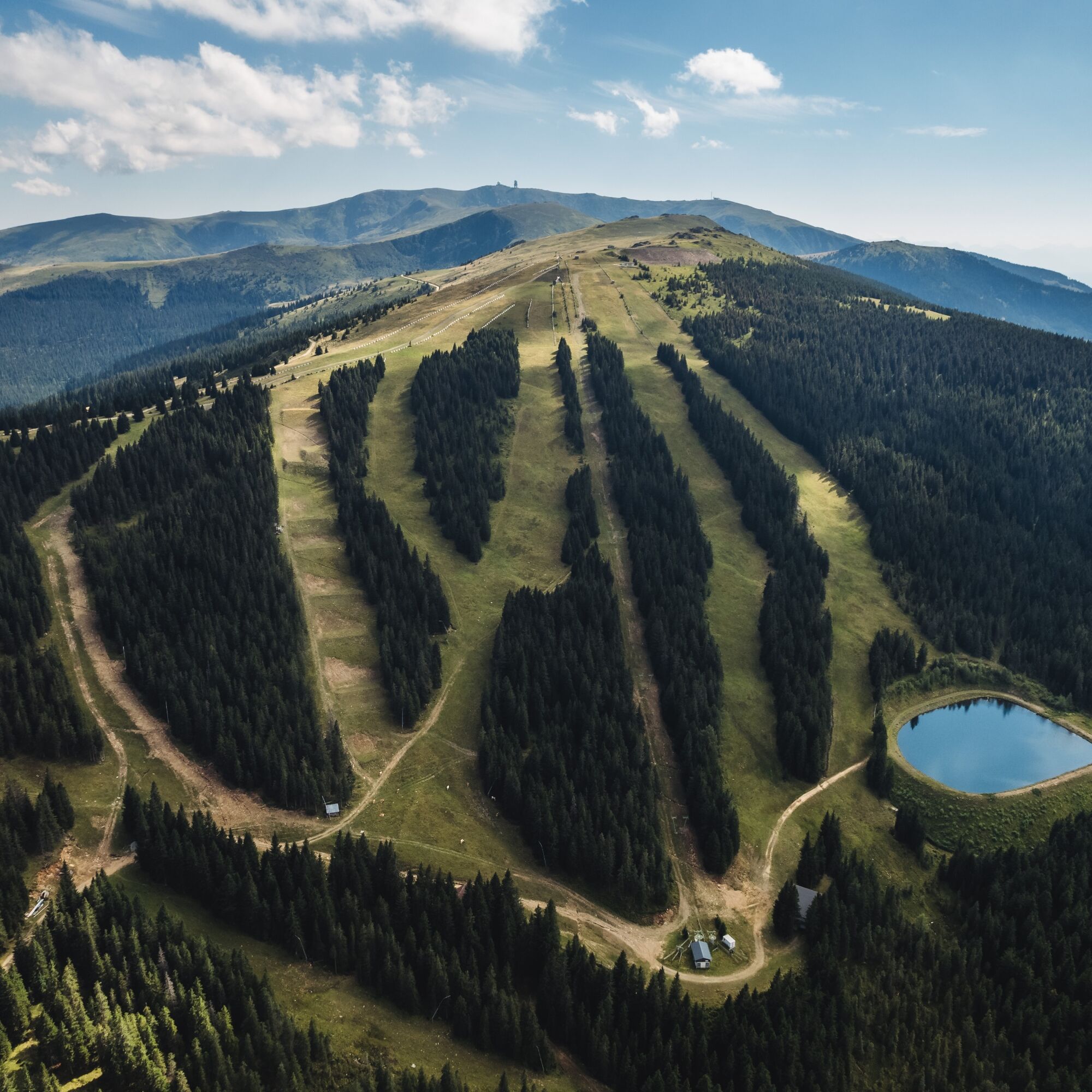
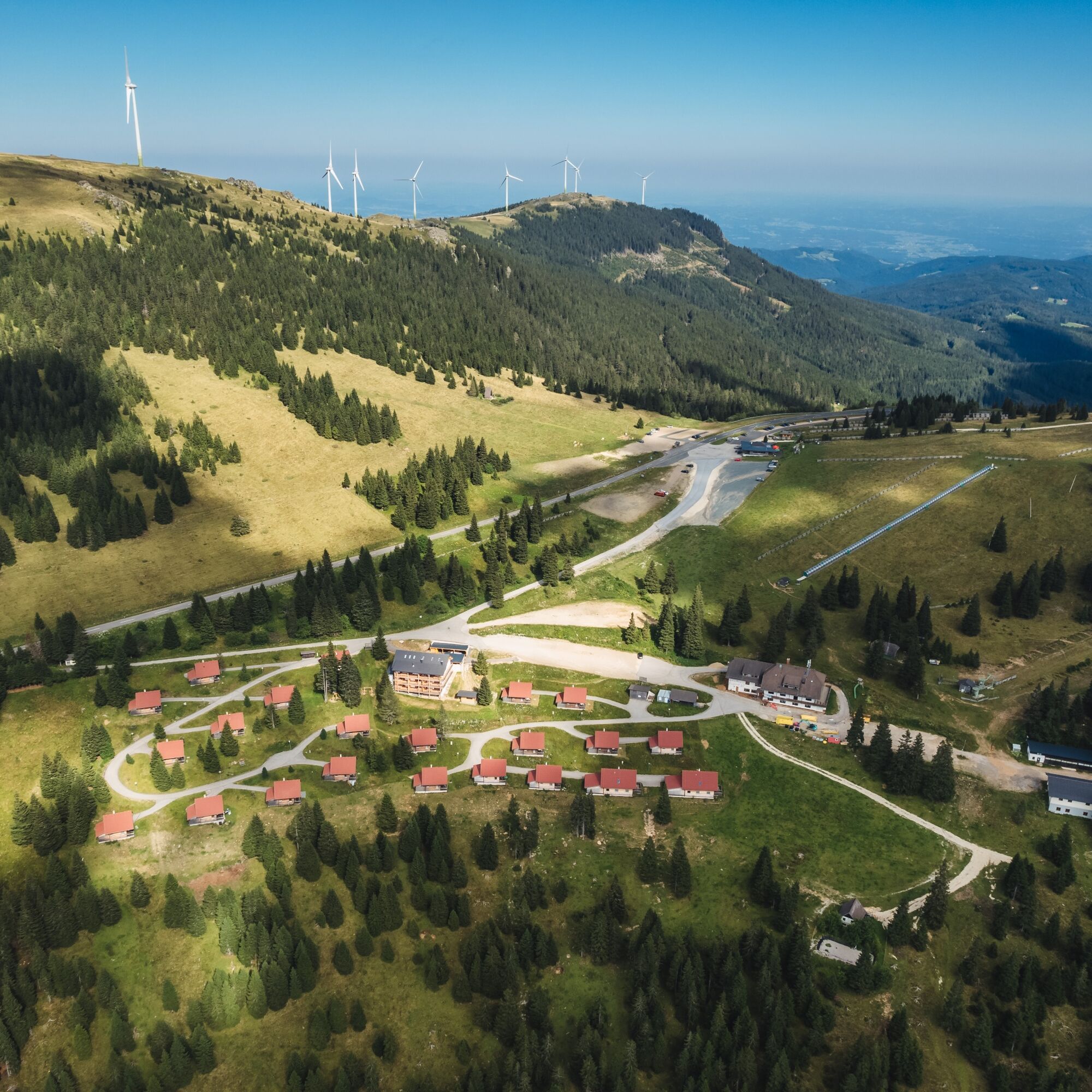
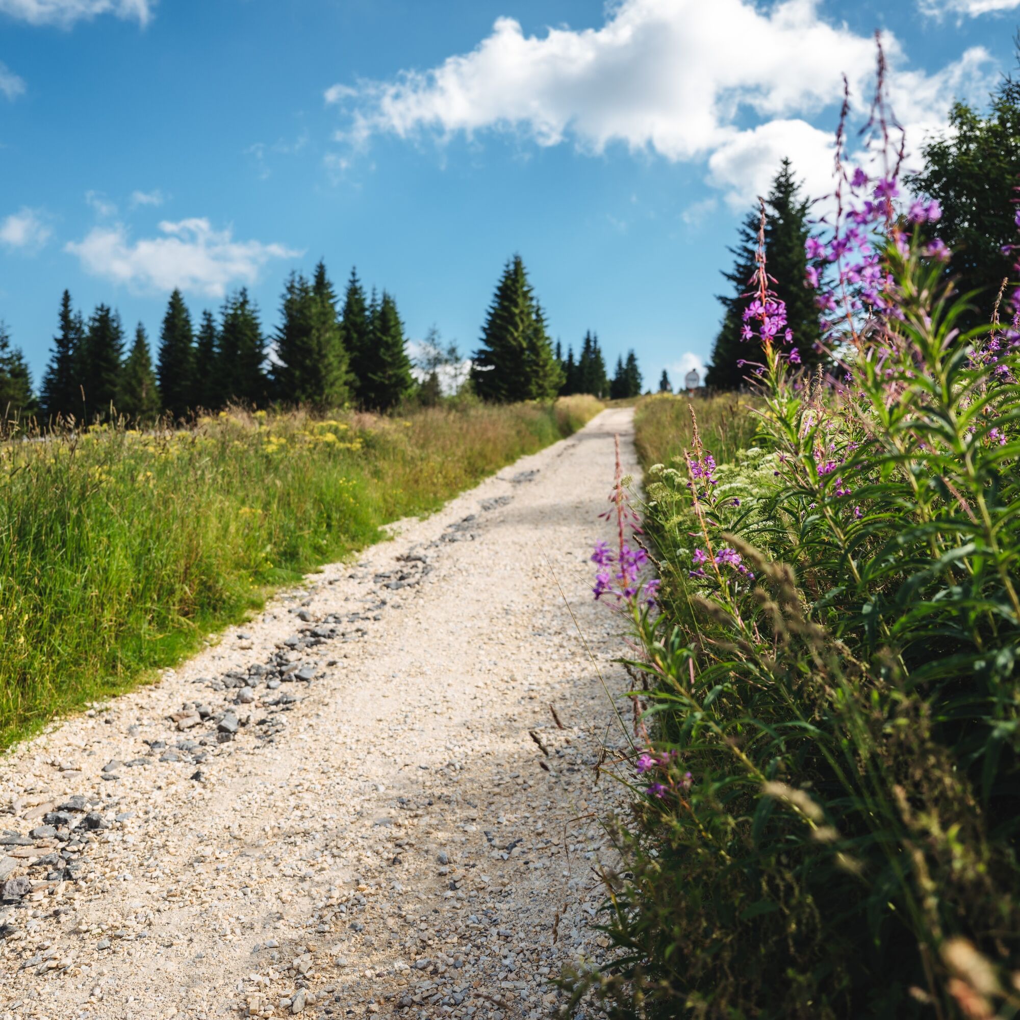
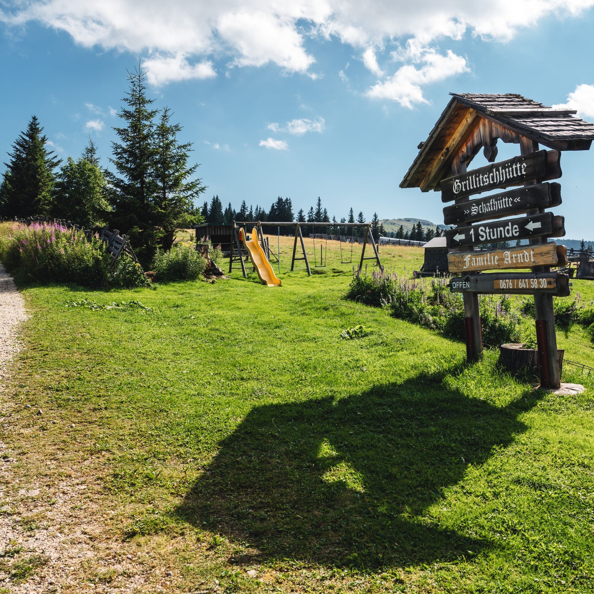
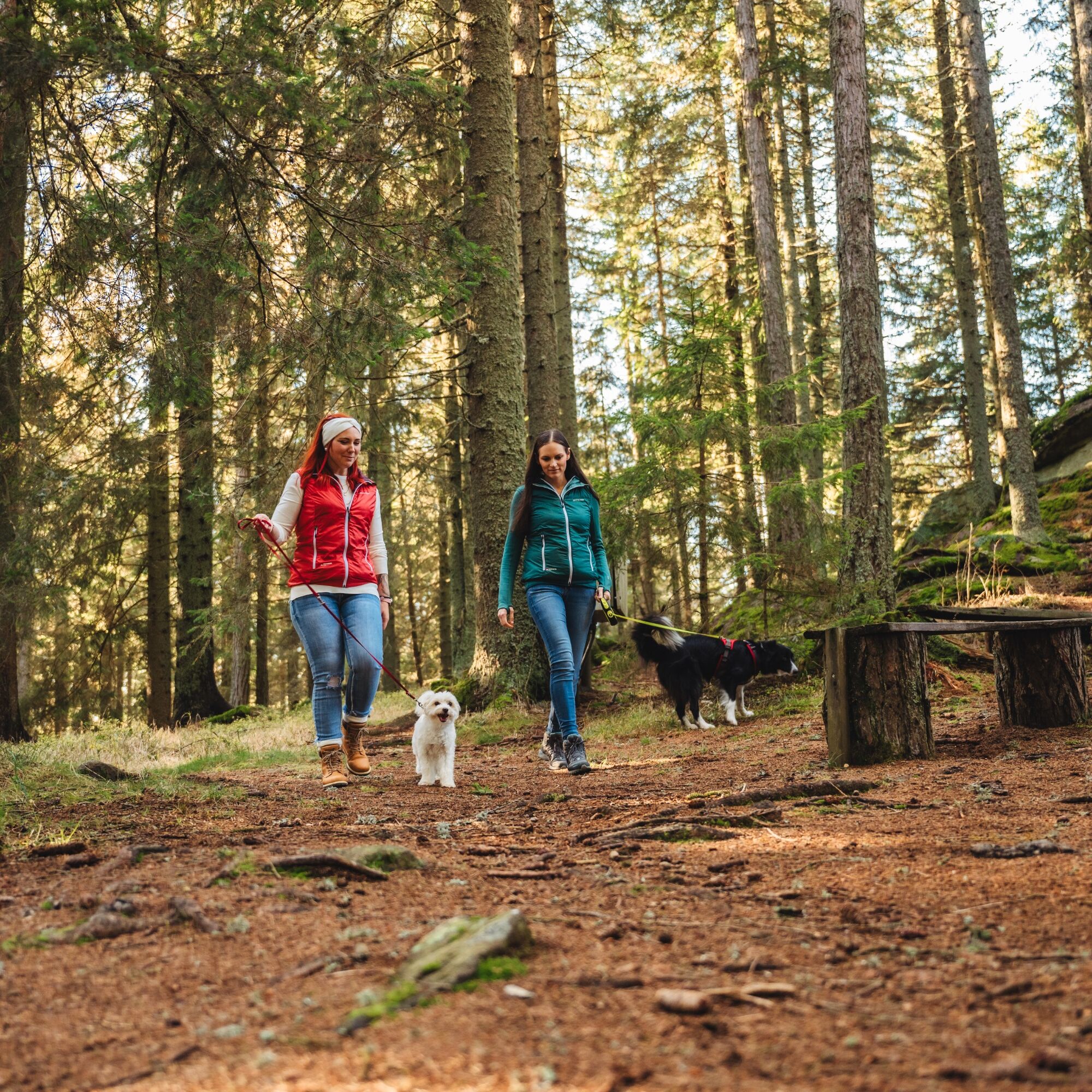
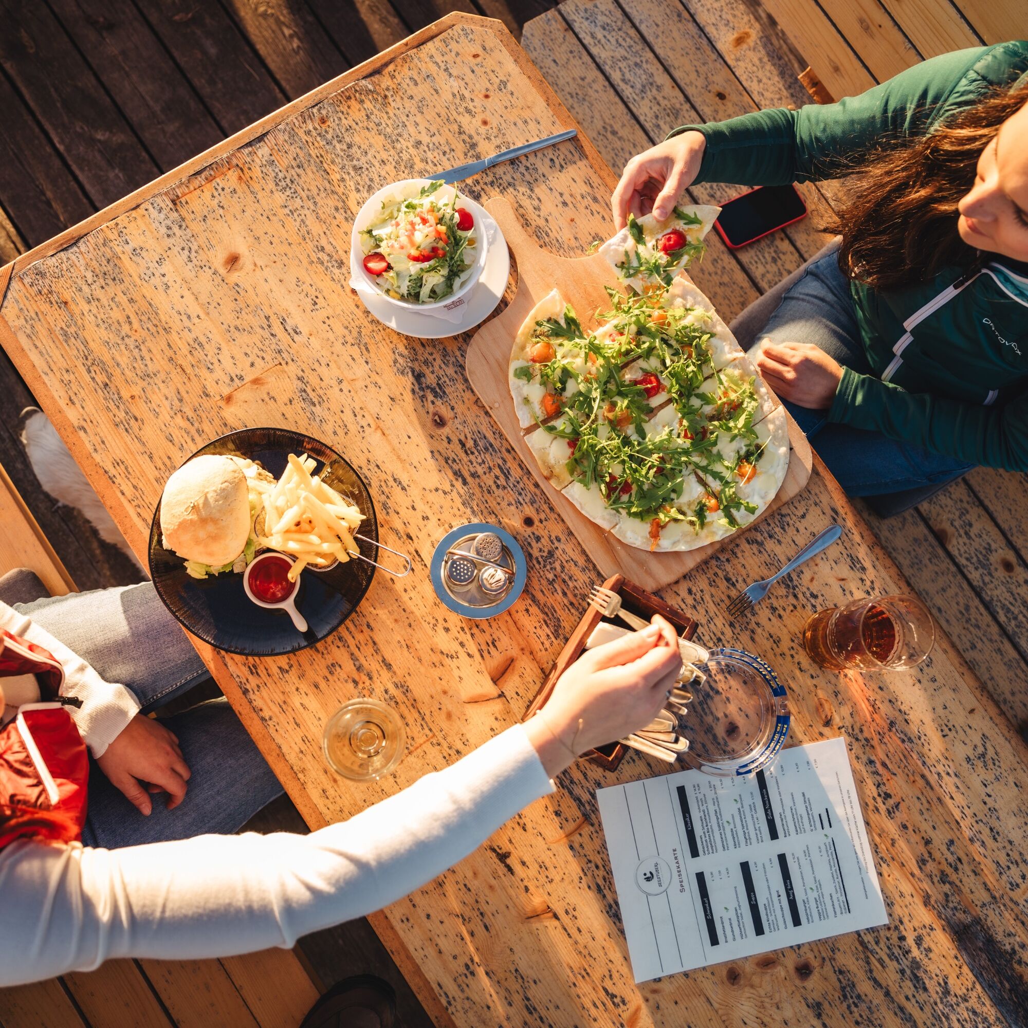
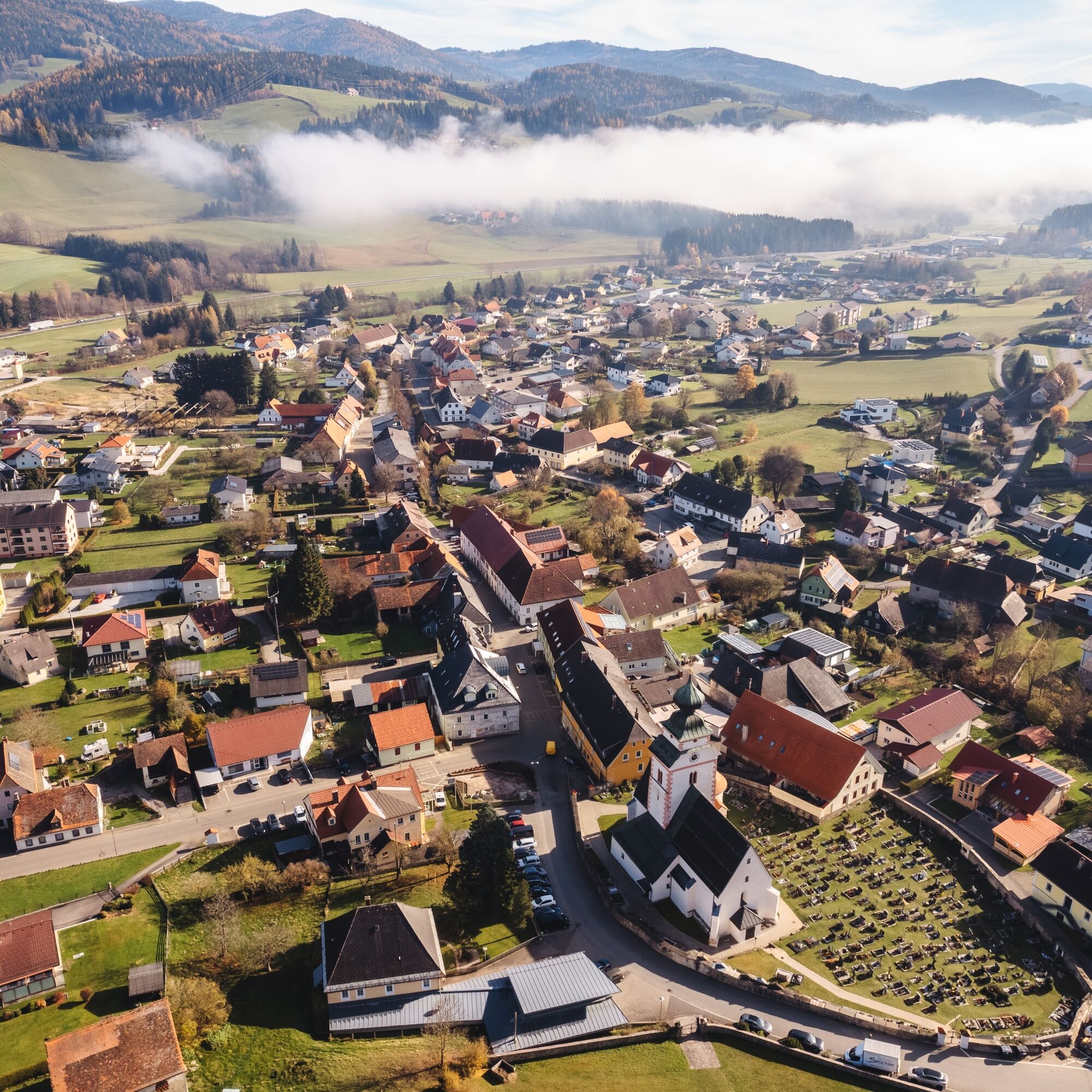
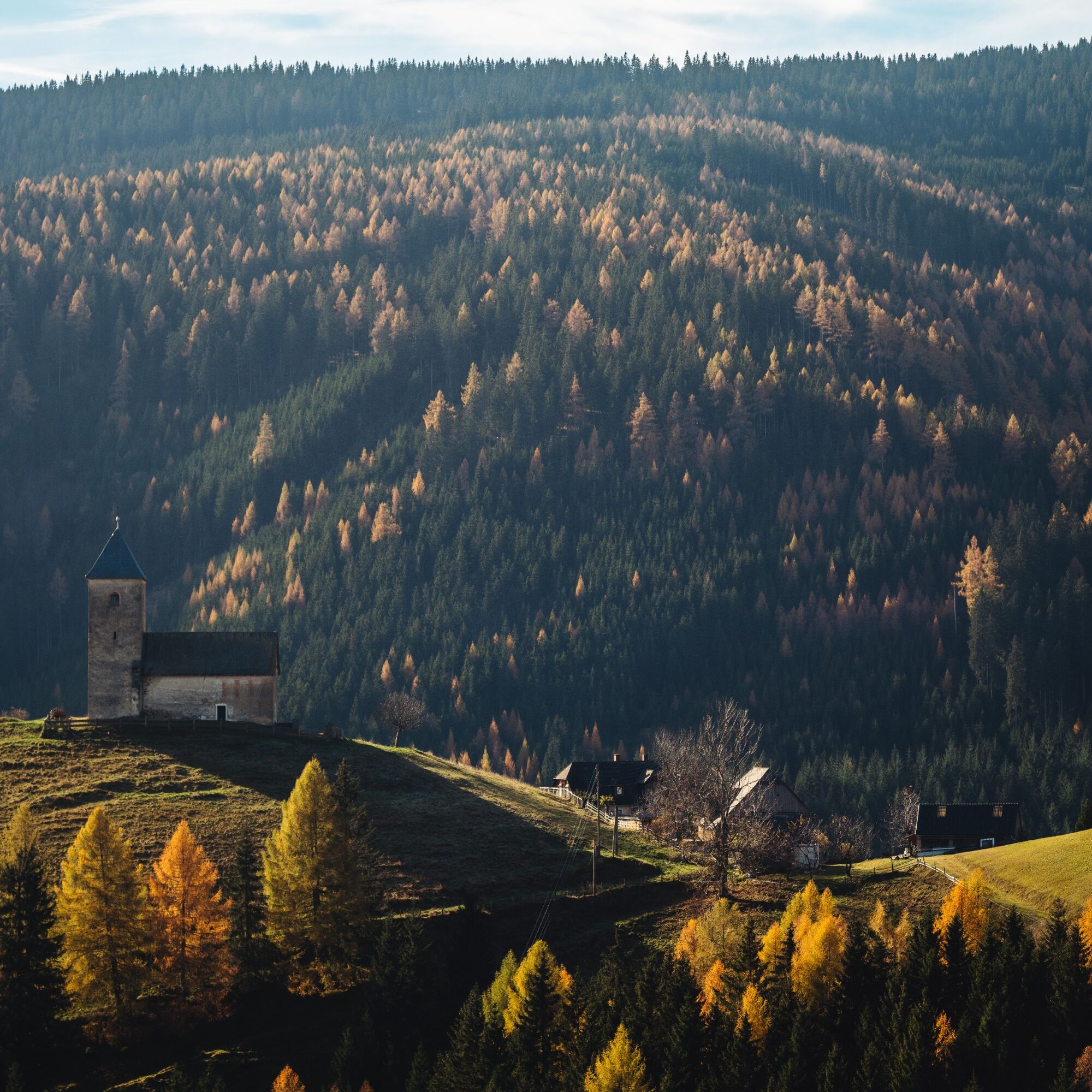
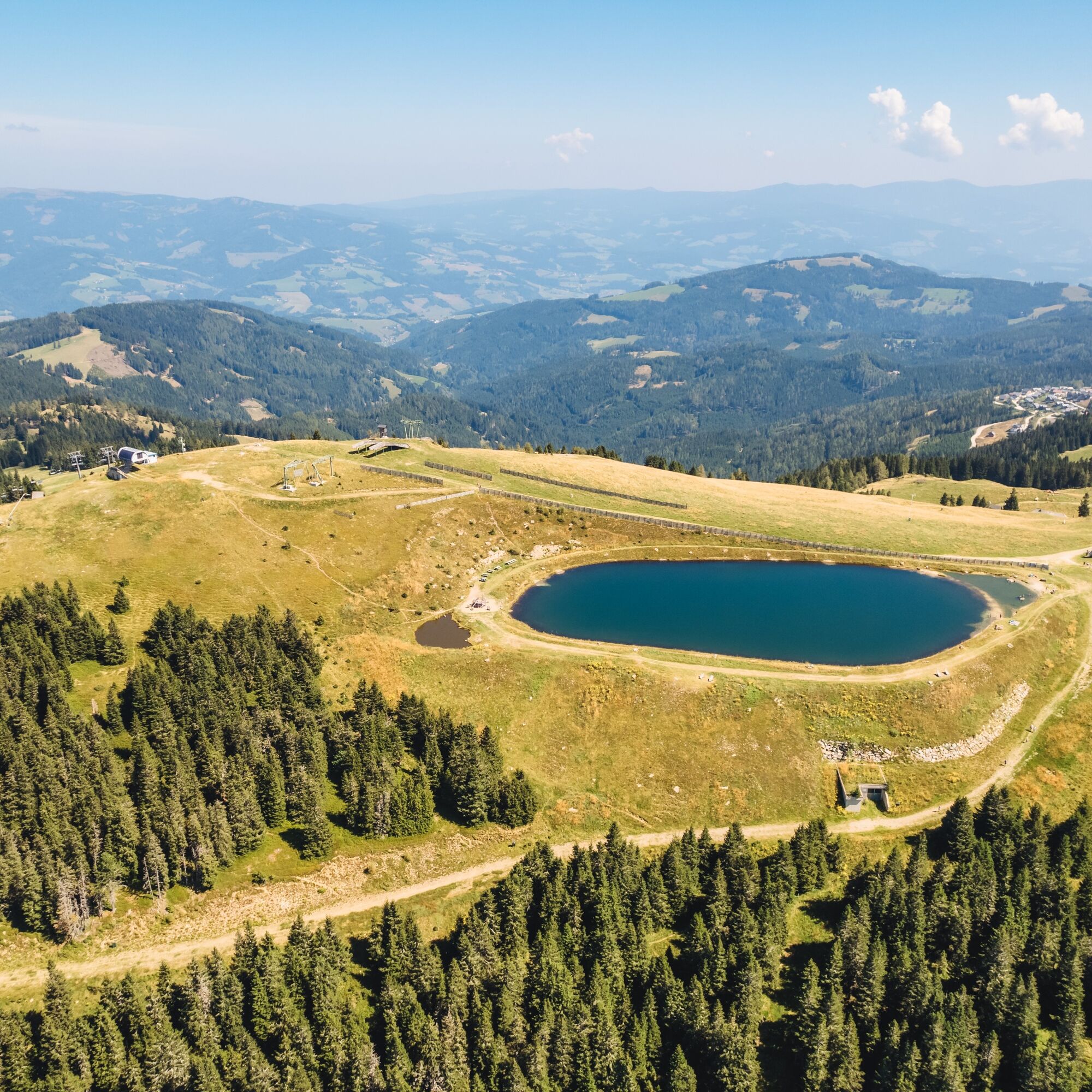
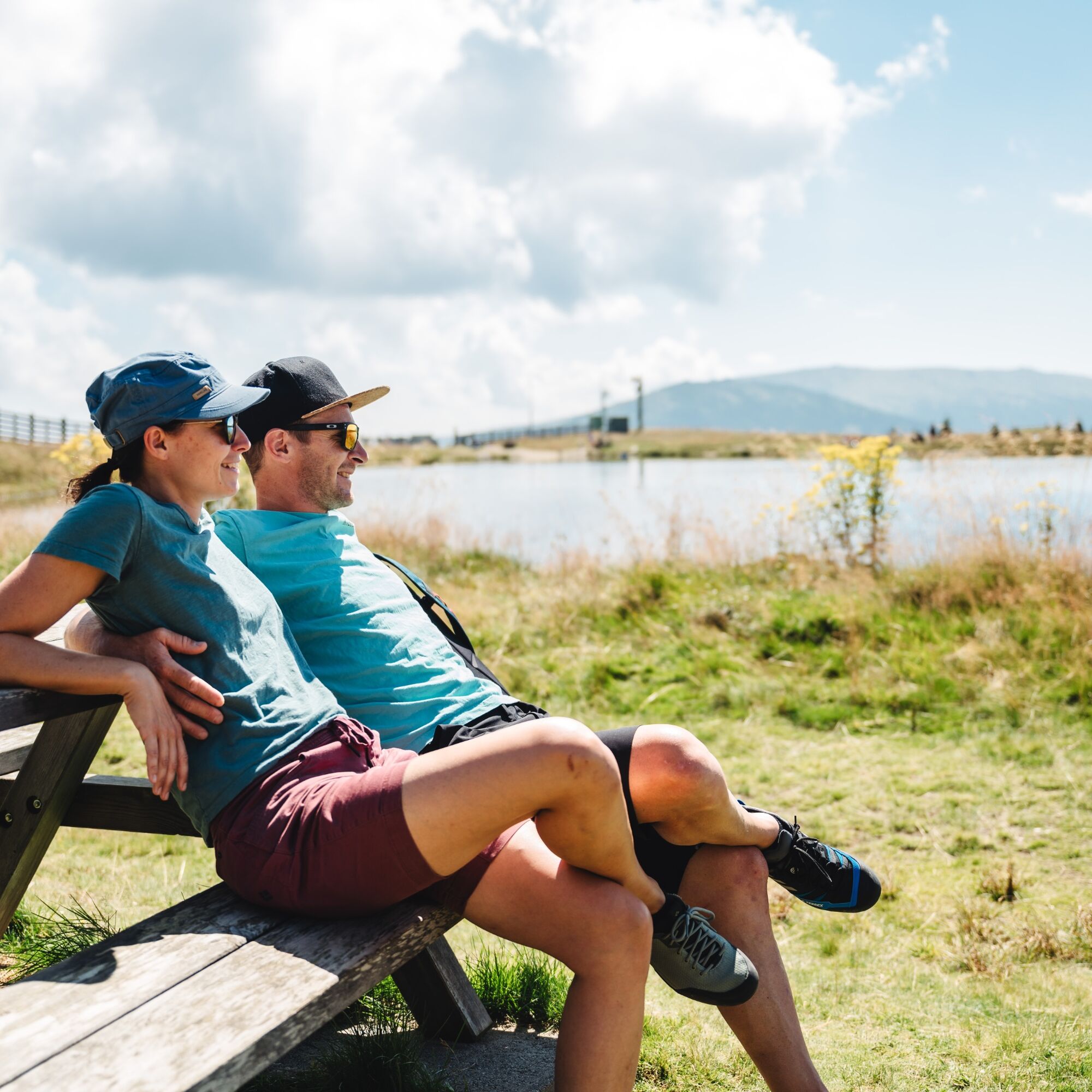
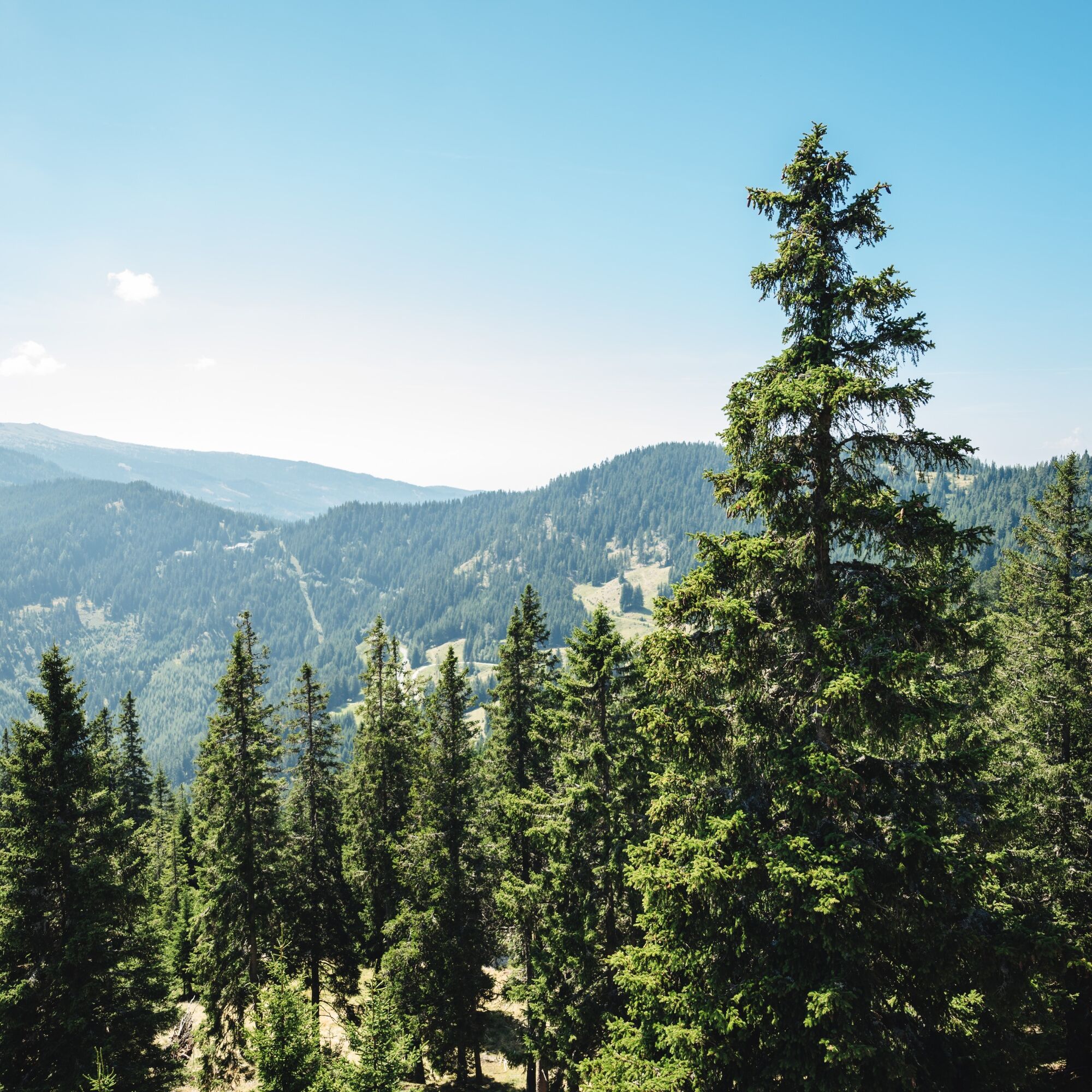
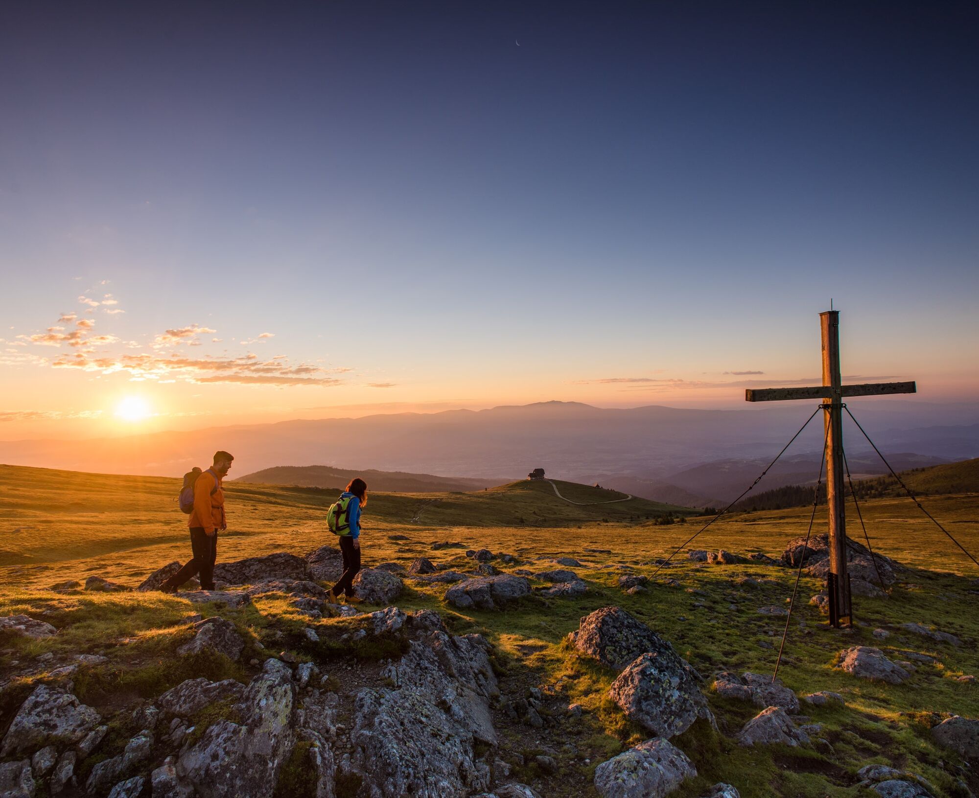
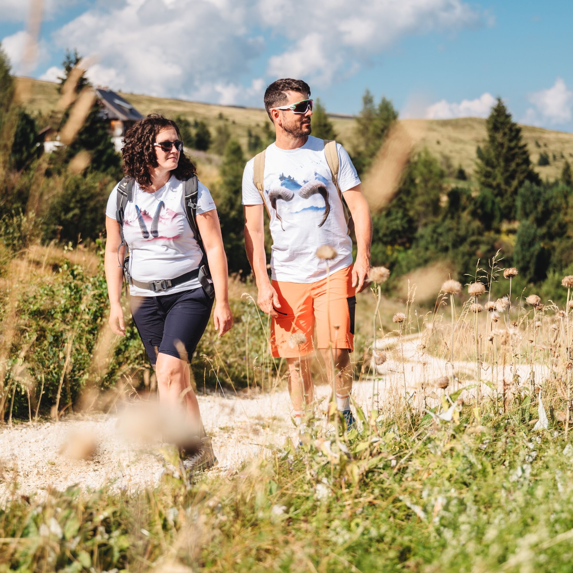
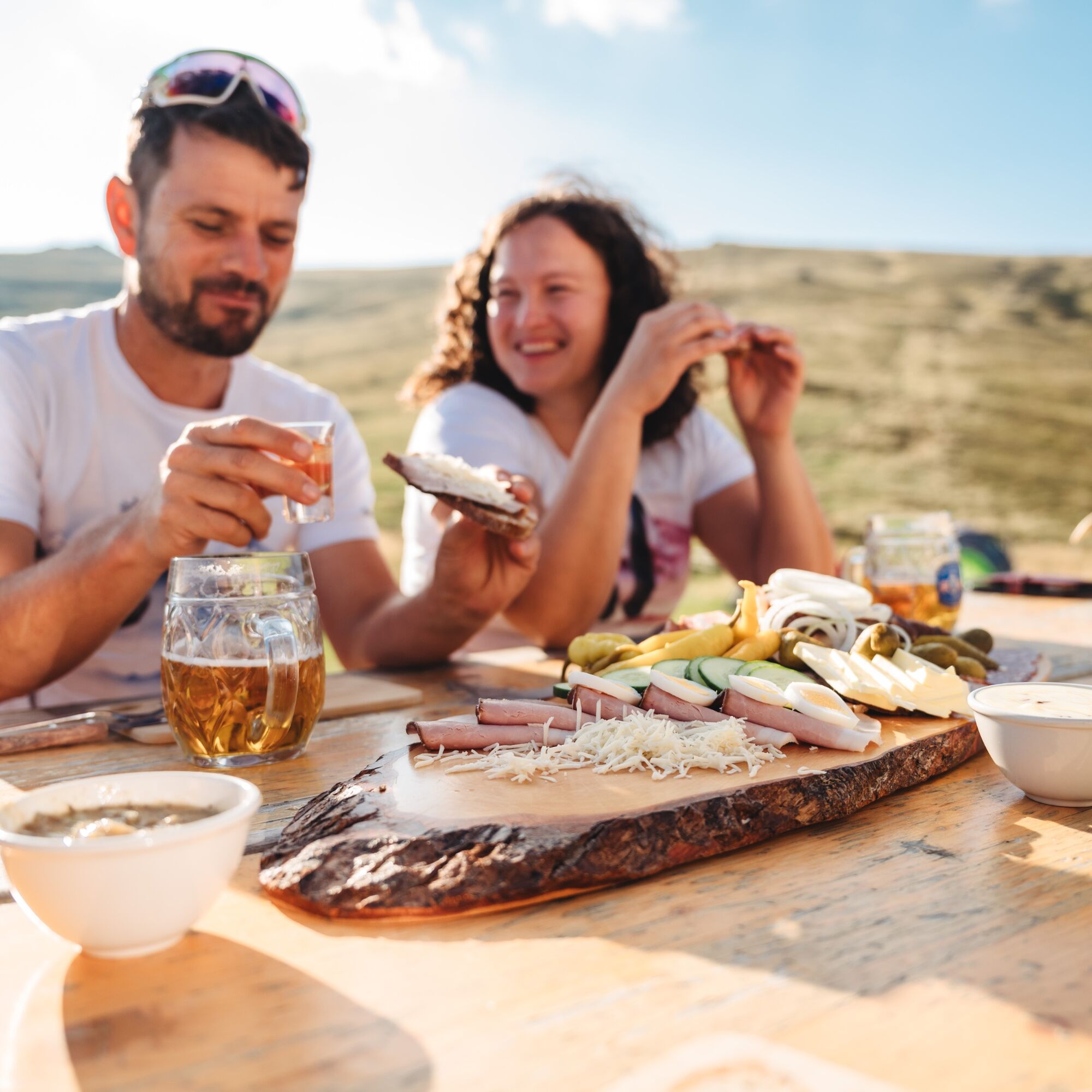
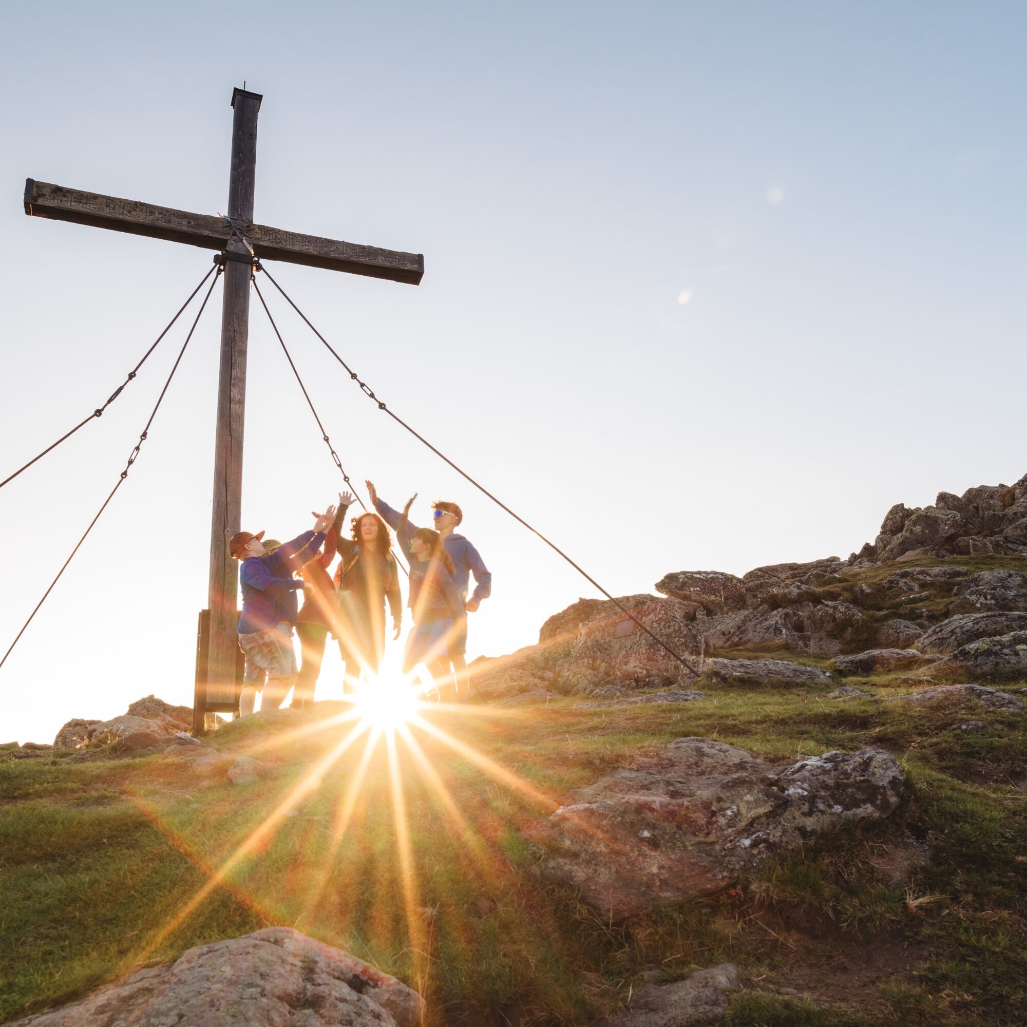
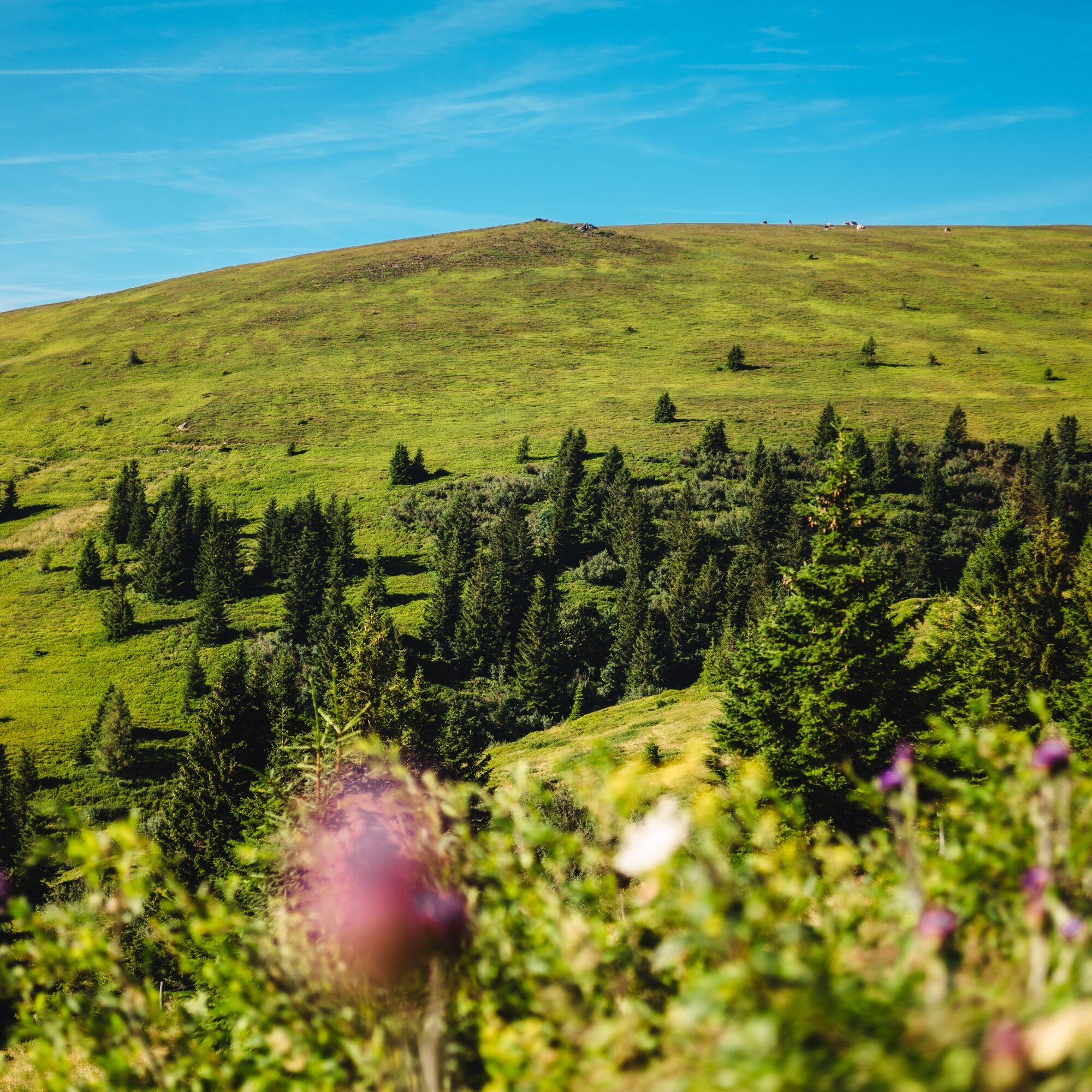
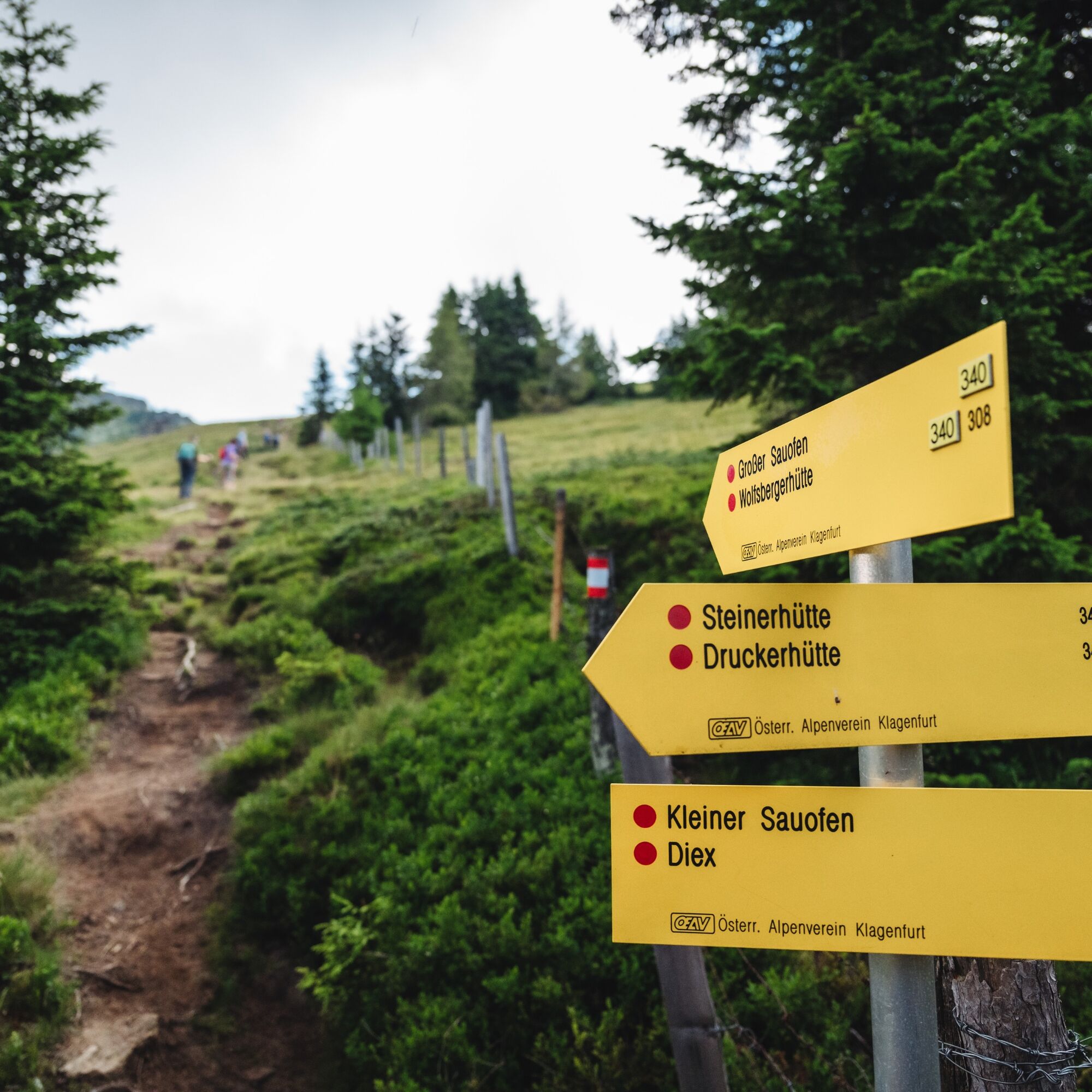
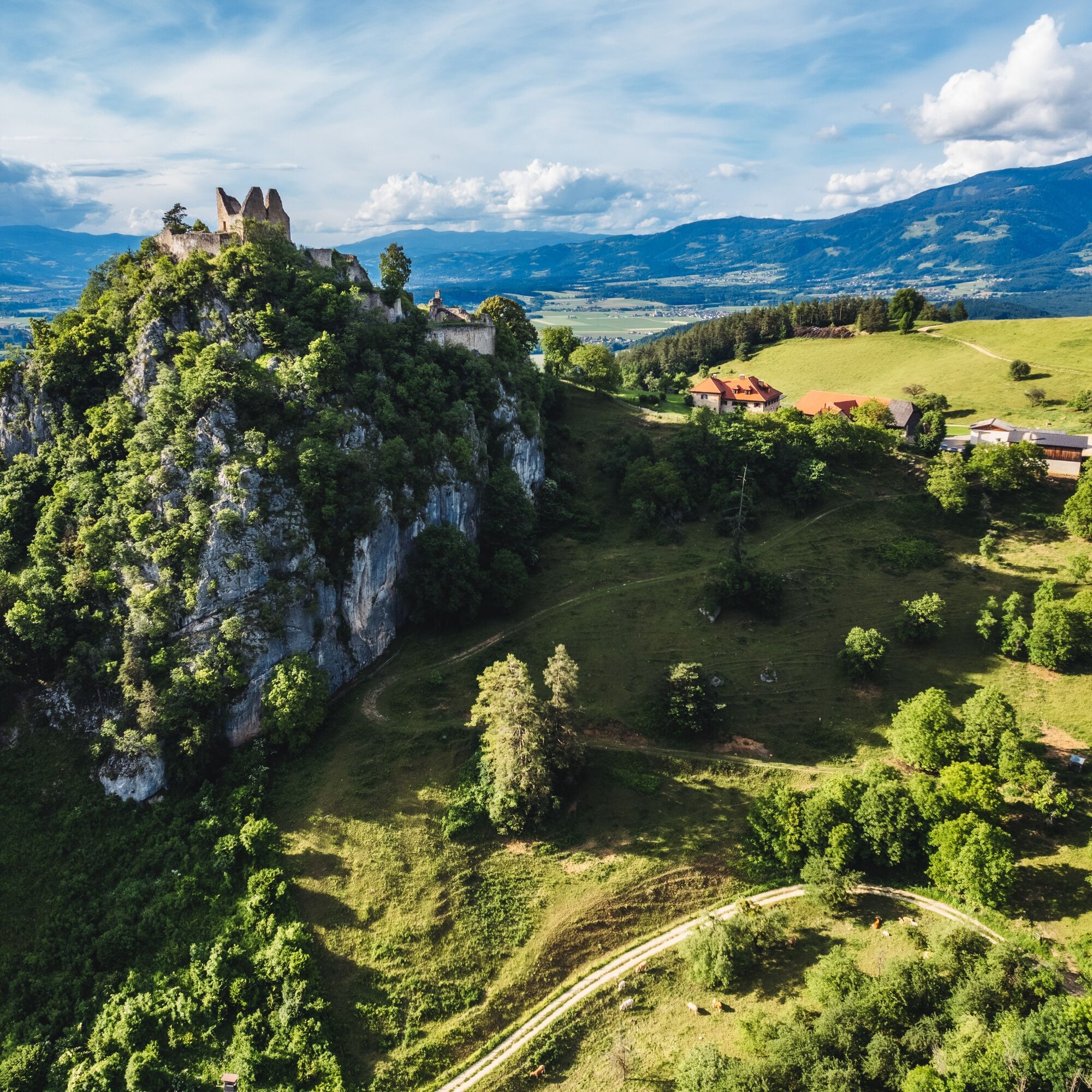
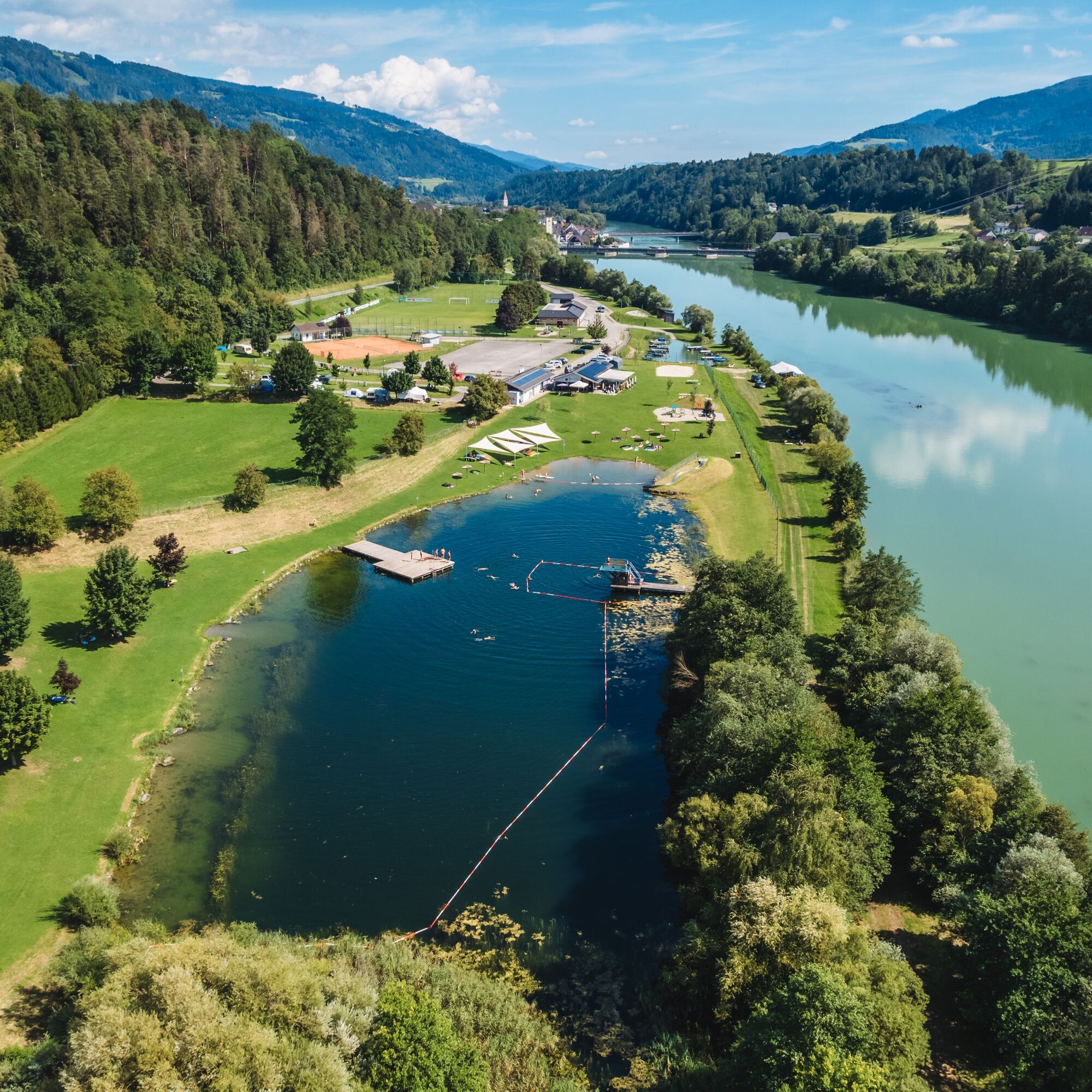

The Lavanttal High Trail leads from Lavamünd northwards over the Kleinalpl to the Großer Speikkogel. At 2140 meters, it is the highest summit of the Lavanttal High Trail. It then continues to the Weinebene and over the Hebalm to the Packsattel. At the Peterer Riegel, it descends back into the valley to Reichenfels. Afterwards, from the market town, it ascends to the Feldalm. From here, it continues southwards to the hiking and ski area Klippitztörl.
The next section of the route leads the hiker onto the ridge of the Saualpe and offers an unforgettable hiking experience with its magnificent panorama. The path goes over the Forstalpe and the Gertrusk to the Ladinger Spitz, which at 2079 meters above sea level is the highest point of the Saualpe. Then it leads to the Wolfsberger Hut, over the Kostmannkogel to the mountain village of St. Leonhard an der Saualpe, and up to the Griffner Berg. The final section of the Lavanttal High Trail leads over the St. Pauler Berge back to Lavamünd.
Da
Da
Da
Packing list - Multi-day hike
Breathable hardshell jacket, fleece or softshell jacket Convertible hiking pants Hiking boots Backpack (approx. 35 liters) Functional T-shirts Functional underwear Pair of hiking socks Sun headwear Rain pants Thin hat and gloves Maps & tour description Water bottle or hydration bladder Hut sleeping bag/silk liner Trekking poles GPS device LED headlamp Mobile phone & alpine emergency number Sunglasses First aid kit Blister plasters Small pocket knife Sunscreen Hygiene articles Travel towel Tour provisions10 recommendations from the Austrian Alpine Association (ÖAV)
As a nature sport, mountain hiking offers great opportunities for health, community, and experience. The following recommendations from alpine clubs aim to make mountain hikes as safe and enjoyable as possible.
1. Healthy into the mountains
Mountain hiking is endurance sports. The positive strain on heart and circulation requires good health and realistic self-assessment. Avoid time pressure and choose a pace so that no one in the group is out of breath.
2. Careful planning
Hiking maps, guide literature, internet, and experts provide information about length, elevation difference, difficulty, and current conditions. Always tailor tours to the group! Pay special attention to the weather forecast, as rain, wind, and cold increase accident risks.
3. Complete equipment
Adjust your equipment to your activity and pay attention to a light backpack weight. Rain, cold, and sun protection should always be in the backpack, as well as first aid kit and mobile phone (European emergency number 112). Maps or GPS support orientation.
4. Suitable footwear
Good hiking boots protect and relieve the foot and improve surefootedness! Pay attention to perfect fit, slip-resistant soles, waterproofing, and light weight.
5. Surefootedness is key
Falls due to slipping or tripping are the most frequent cause of accidents! Note that too high a pace or fatigue severely impairs surefootedness and concentration. Beware of falling rocks: careful walking prevents loosening stones.
6. Stay on marked trails
In trailless terrain, the risk of losing orientation, falling, and falling rocks increases. Avoid shortcuts and return to the last known point if you get off the path. Often underestimated and very dangerous: steep old snowfields!
7. Regular breaks
Timely rest serves recovery, enjoyment of the landscape, and sociability. Eating and drinking are necessary to maintain performance and concentration. Isotonic drinks are ideal thirst quenchers. Muesli bars, dried fruit, and biscuits satisfy hunger on the way.
8. Responsibility for children
Note that variety and playful discovery are central for children! In sections with fall risk, only one adult can supervise one child. Very exposed routes requiring long concentration are not suitable for children.
9. Small groups
Small groups ensure flexibility and allow mutual help. Inform trusted persons about destination, route, and return. Stay together as a group. Beware of solo hikers: even small incidents can lead to serious emergencies.
10. Respect nature and environment
To protect mountain nature: Do not leave waste, avoid noise, stay on paths, do not disturb wild and grazing animals, leave plants untouched, and respect protected areas. Use public transport or form car pools for travel.
see route planner
Parking available at Gasthof Hüttenwirt.
T2
Link to the nine stages of the Lavanttal High Trail:
Stage 1 from Lavamünd to Stiftshütte Stage 2 from Stiftshütte to Weinebene Stage 3 from Weinebene to Packsattel Stage 4 from Packsattel to Reichenfels Stage 5 from Reichenfels to Klippitztörl Stage 6 from Klippitztörl to Wolfsberger Hut Stage 7 from Wolfsberger Hut to Griffner Berg Stage 8 from Griffner Berg to Gasthof Rabensteiner Stage 9 from Gasthof Rabensteiner to LavamündInformation about the region:
Information about the tour:
More info about Carinthia’s paradise at Lavanttal holiday region.
Spletne kamere s turneje
-
Klippitztörl
-
Weinebene - Einstieg Zauberteppich
-
Weißbergerhütte Saualpe
-
Soboth
-
Koralpe Kassengebäude
-
Steinschober - Koralpe
-
Eberstein
-
Klippitztörl
-
Klippitztörl
-
Klippitztörl
-
Klippitztörl
-
Bärenwaldlift Bergstation
-
Obdach
-
Weinebene Brandrücken
-
St. Hemma - St. Hemmahof
-
L149 Koralm
-
Salzstiegl - Moasterhaus
-
Seestüberl Langlaufzentrum Hebalm
-
Koralpe Talstationbereich
-
Soboth - Südsteirische Grenzstraße
-
Weinebene Straße L 148
-
Packer Straße
-
Alpengasthof Gießlhütte / Saualpe
-
Weinebene Skigebiet
Pridobite vpogled
Vedno v živo na mestu z več kot 9.500 spletnimi kamerami. bergfex Kot uporabnik Pro si lahko zdaj ogledate ustrezne spletne kamere za številne izlete v aplikaciji izleti iz. Tako si lahko neposredno ogledate trenutne razmere.
Priljubljeni izleti v okolici
-
4.7
Koralpe: hike to the summit cross
svetlobaZimsko pohodništvo 4.23 km -
4.4
Koralpe: summit tour to the Großer Speikkogel
srednjaSmučarska tura 11.6 km -
4.5
Weinebene - Moschkogel - Rundweg
svetlobaPohodništvo 7.27 km -
4.4
Bad St. Leonhard: L5 hike Kliening - Sauerbrun
srednjaPohodništvo 9.49 km -
4.1
Schneeschuhwanderung Weinebene
svetlobaSnežni čevlji 7.40 km -
4.6
Saualpe: Hut route - circular hike
srednjaPohodništvo 15.3 km -
5.0
Koralpe: Hike to the Großer Speikkogel
srednjaSnežni čevlji 10.5 km -
4.0
Koralpe: panoramic hike
svetlobaZimsko pohodništvo 6.57 km -
3.7
Koralpe: panoramic circular hike
srednjaPohodništvo 13.2 km -
4.8
Großer Speikogel, Koralpe, Kärnten
svetlobaGorski pohodništvo 8.46 km
Pohodništvo in sledenje


Ne zamudite ponudb in navdiha za naslednje počitnice
Vaš e-poštni naslov je bil dodan na poštni seznam.





