







St. Paul: cultural circular route 3/3A
The idyllic surrounding area, such as the Rabenstein ruins, is a charming hiking area in the Lavanttal. Numerous very rare plant species thrive there, such as the dog's tooth lily, the black cowbell or...
The idyllic surrounding area, such as the Rabenstein ruins, is a charming hiking area in the Lavanttal. Numerous very rare plant species thrive there, such as the dog's tooth lily, the black cowbell or kitchen bellflower, the tufted grape hyacinth, and many orchid species. Equally characteristic are the numerous orchard meadows, which serve primarily for the production of fruit for cider.

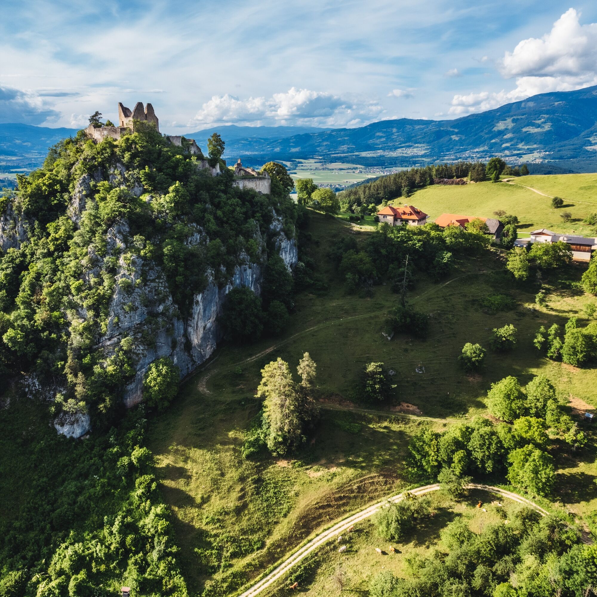
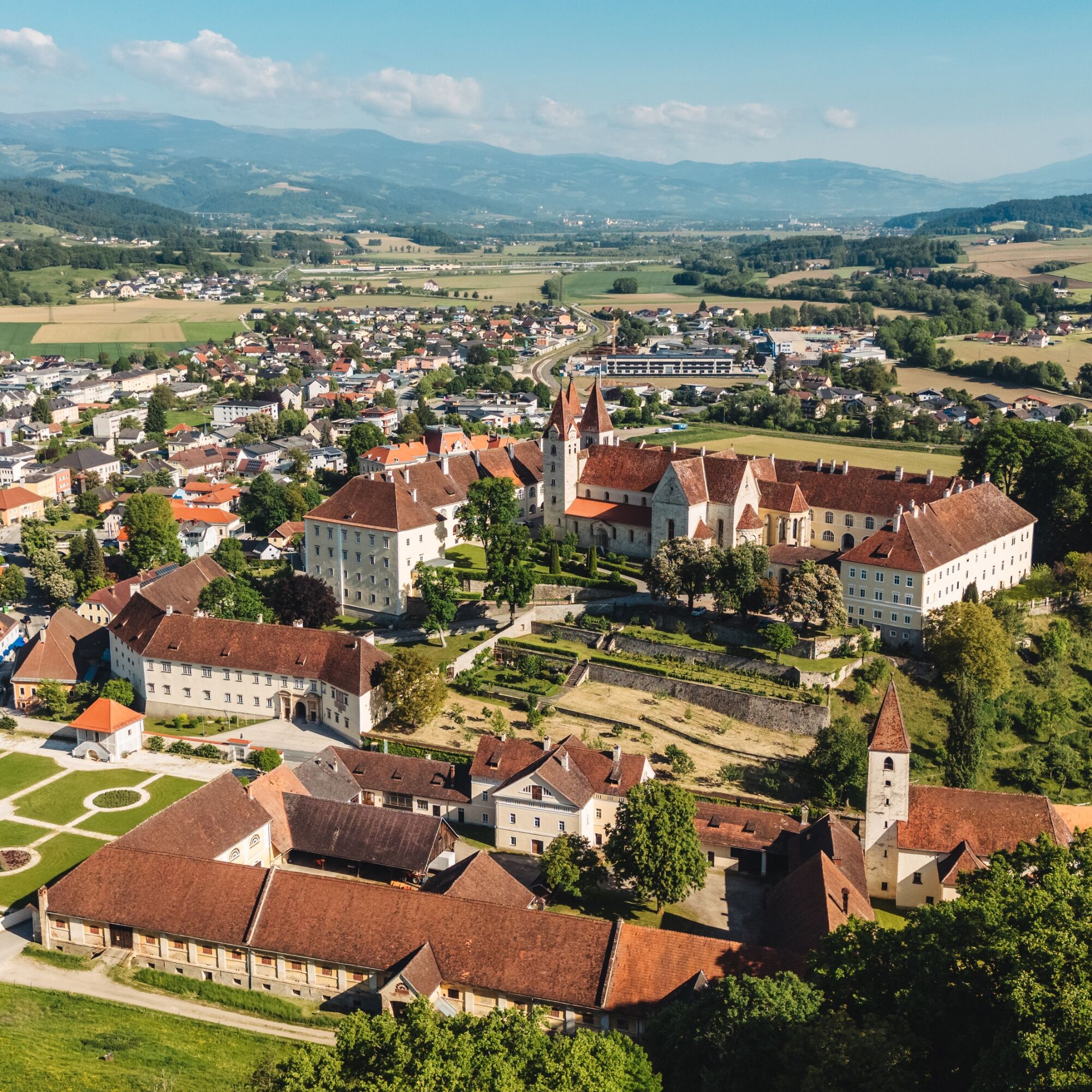
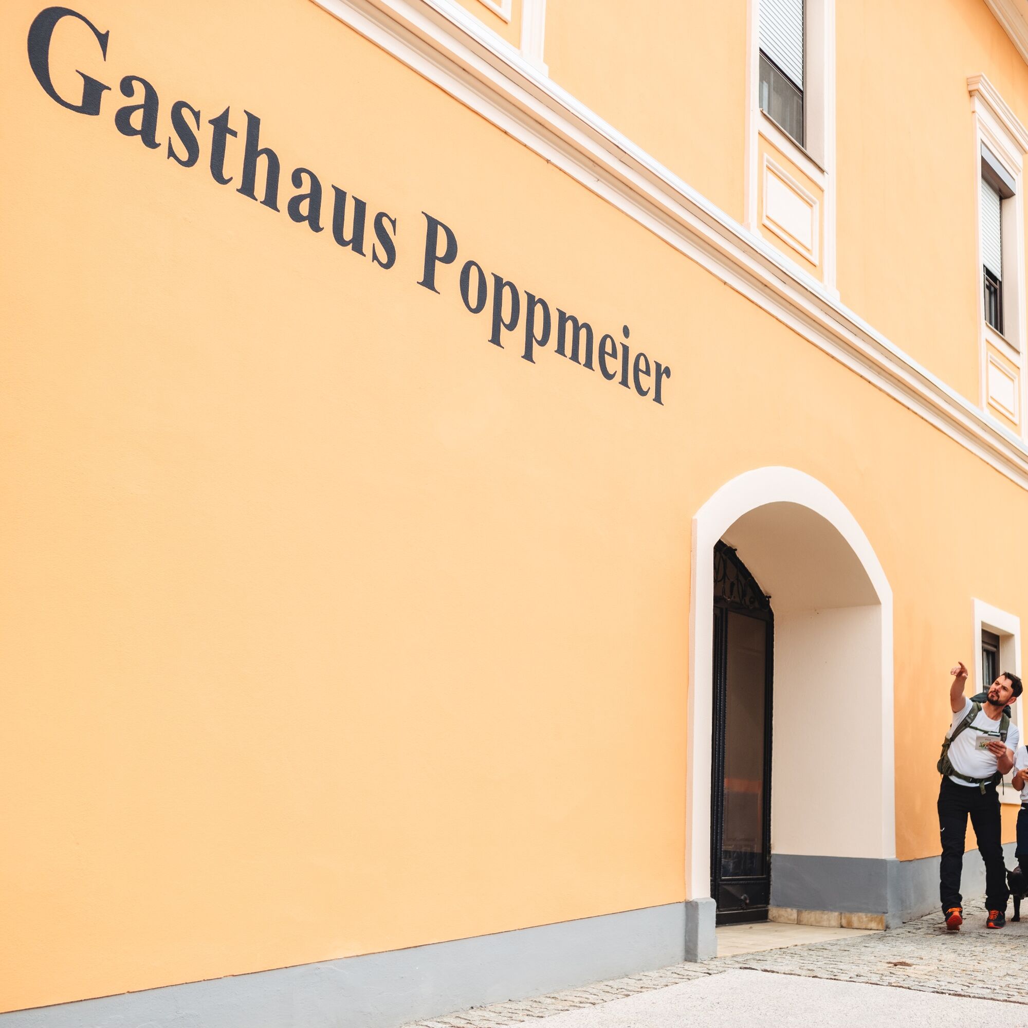
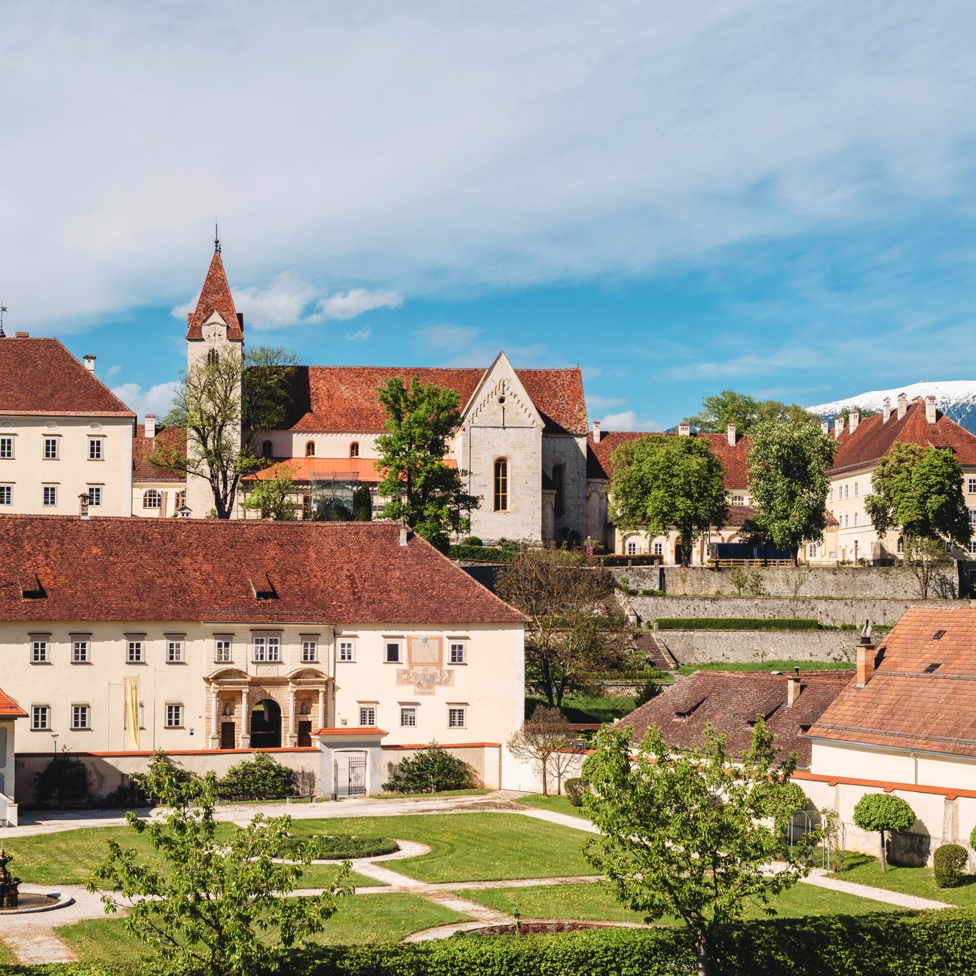
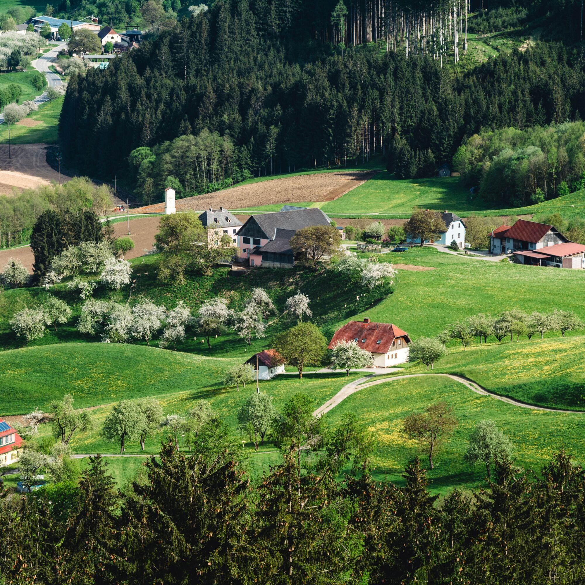

From Lobisserplatz follow the signs for cultural circular route 2 or 3. After about 200 m turn right towards Johannesberg. At the foot of Johannesberg the two hiking trails diverge. The cultural hiking trail 3A leads about 750 m along the road to a turnoff onto a forest path. Turn right and follow the signs to the Rabenstein ruins or Gasthaus Rabensteiner (about 30 minutes walking time). From Gasthaus Rabensteiner the hike leads over beautiful forest and meadow paths past the Weißegger farmstead to the Lavanttal high trail. Turn right and follow the Lavanttal high trail about 1.4 km north. Turn right again (signs for St. Martin, cultural hiking trail 3A). The hiking trail then leads steeply downhill along a forest path to St. Martin (approx. 1.7 km). The last section of the hike leads about 2.4 km along the road until the starting point St. Paul is reached.
As an alternative to 3A, there is a slightly shorter variant (approx. 2 km), the cultural hiking trail 3, which leads via the Fastl farmstead towards St. Martin.
Da
Da
For this route, good footwear and a small backpack with the essentials are sufficient.
10 recommendations from the Austrian Alpine Association (ÖAV)
As a nature sport, mountain hiking offers great opportunities for health, community, and experience. The following recommendations from alpine clubs serve to make mountain hikes as safe and enjoyable as possible.
1. Healthy to the mountains
Mountain hiking is endurance sport. The positive strain on heart and circulation requires health and a realistic self-assessment. Avoid time pressure and choose the pace so that no one in the group is out of breath.
2. Careful planning
Hiking maps, guide literature, internet, and experts provide information about length, altitude difference, difficulty, and current conditions. Always tailor routes to the group! Pay special attention to the weather forecast, as rain, wind, and cold increase the risk of accidents.
3. Complete equipment
Adjust your equipment to your undertaking and pay attention to a low backpack weight. Rain, cold, and sun protection always belong in the backpack, as well as a first aid kit and mobile phone (European emergency number 112). Map or GPS support orientation.
4. Suitable footwear
Good hiking boots protect and relieve the foot and improve sure-footedness! When choosing, pay attention to perfect fit, non-slip sole, waterproofing, and low weight.
5. Sure-footedness is key
Falls as a result of slipping or tripping are the most common cause of accidents! Note that too high speed or fatigue strongly affect your sure-footedness and concentration. Beware of rockfall: by walking carefully you avoid dislodging stones.
6. Stay on marked paths
In pathless terrain, the risk of losing orientation, falling, and rockfall increases. Avoid shortcuts and return to the last known point if you stray from the path. Often underestimated and very dangerous: steep old snowfields!
7. Regular breaks
Timely rest serves recovery, enjoyment of the landscape, and sociability. Eating and drinking are necessary to maintain performance and concentration. Isotonic drinks are ideal thirst quenchers. Muesli bars, dried fruit, and biscuits satisfy hunger on the way.
8. Responsibility for children
Note that variety and playful discovery are the main focus for children! In passages with risk of falling, only one adult can supervise one child. Very exposed routes requiring sustained concentration are not suitable for children.
9. Small groups
Small groups ensure flexibility and allow mutual assistance. Inform trusted people about destination, route, and return. Stay together in the group. Beware of solo hikers: even small mishaps can lead to serious emergencies.
10. Respect for nature and environment
To protect mountain nature: Leave no waste, avoid noise, stay on paths, do not disturb wild and grazing animals, leave plants untouched, and respect protected areas. Use public transport or form car pools for travel.
A2 south motorway, exit St. Andrä i. L., then via L 135 St. Paul state road
south to St. Paul.
Accessible by train and bus. Info at ÖBB/Post timetable.
Parking spaces are available in town. Please note any short-term parking zones.
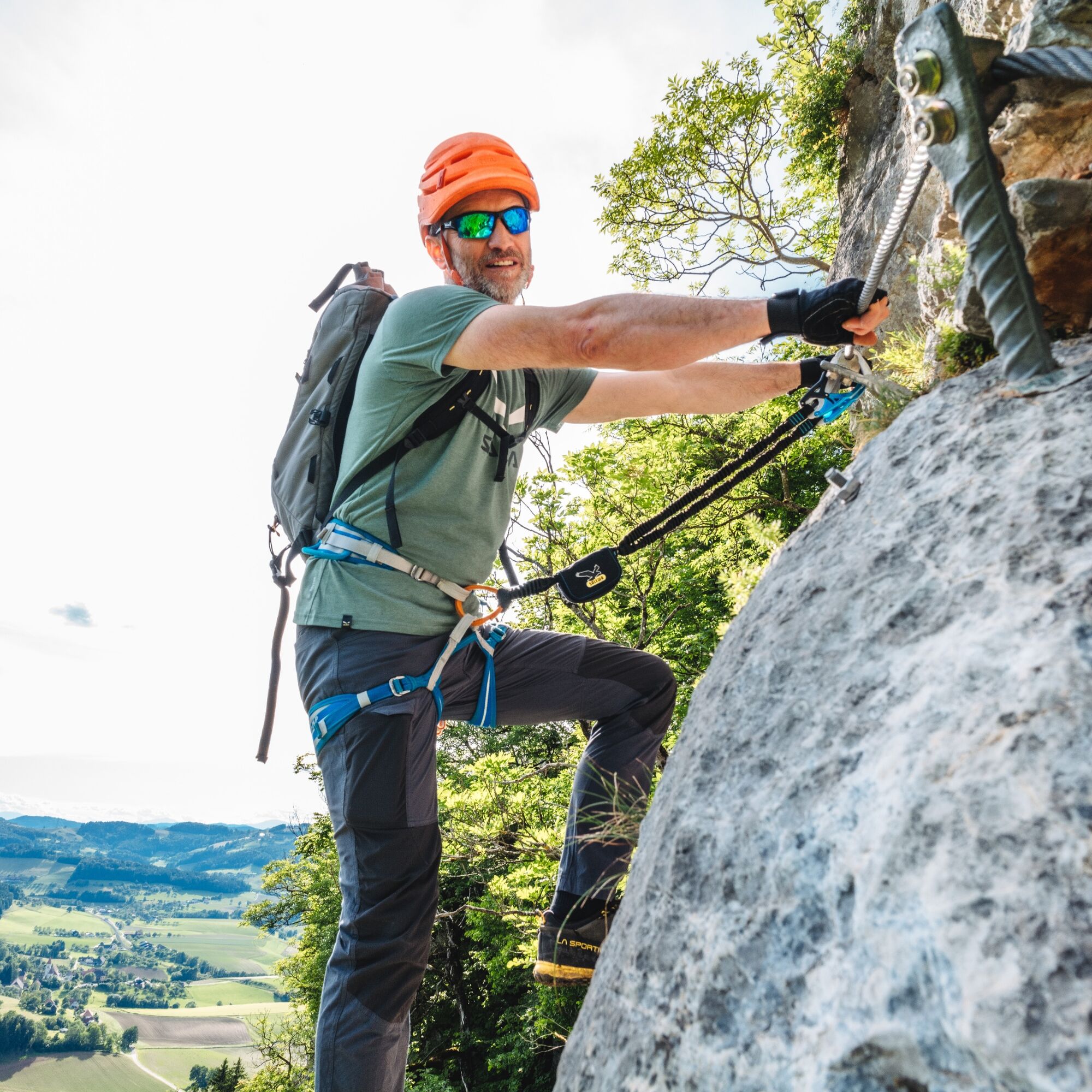
At the Rabenstein castle ruins there is also a climbing rock with about 70 different routes (difficulty levels from 4c to 8a).


Priljubljeni izleti v okolici
- 4.7
Koralpe: hike to the summit cross
svetlobaZimsko pohodništvo 4.23 km - 4.4
Koralpe: Pohod na vrh Veliki Speikkogel
srednjaSmučarska tura 11.6 km - 4.6
PP Weinebene-Grillitschh.-Gr.Speik-Hühnerstütze-PP Weinebene
srednjaPohodništvo 19.6 km - 3.9
Loskogel - Steinmandl- Großer Speikkogel
srednjaPohodništvo 16.1 km - 5.0
Koralpe: Hike to the Großer Speikkogel
srednjaSnežni čevlji 10.5 km - 3.8
Koralpe: panoramic circular hike
srednjaPohodništvo 13.2 km - 4.2
St. Paul: plezalni park in plezalna pot Rabenstein
srednjaVia ferrata 0.89 km - 4.8
Großer Speikogel, Koralpe, Kärnten
svetlobaGorski pohodništvo 8.46 km - 4.2
Soboth Runde St.Vinzenz-Dreieckhütte-Gundischhütte
srednjaPohodništvo 12.4 km - 4.0
Koralpe: panoramic hike
svetlobaZimsko pohodništvo 6.57 km
Pohodništvo in sledenje


Ne zamudite ponudb in navdiha za naslednje počitnice
Vaš e-poštni naslov je bil dodan na poštni seznam.





