


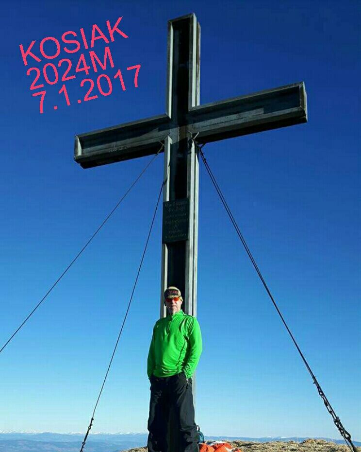
Kosiak


Fotografije naših uporabnikov
A family-friendly hike in Carinthia, from Bärental in the Rosental region over the Klagenfurter Hut to the summit of the Kosiak (2,024 m). The easily accessible Klagenfurter Hut (1,664 m) already offers...
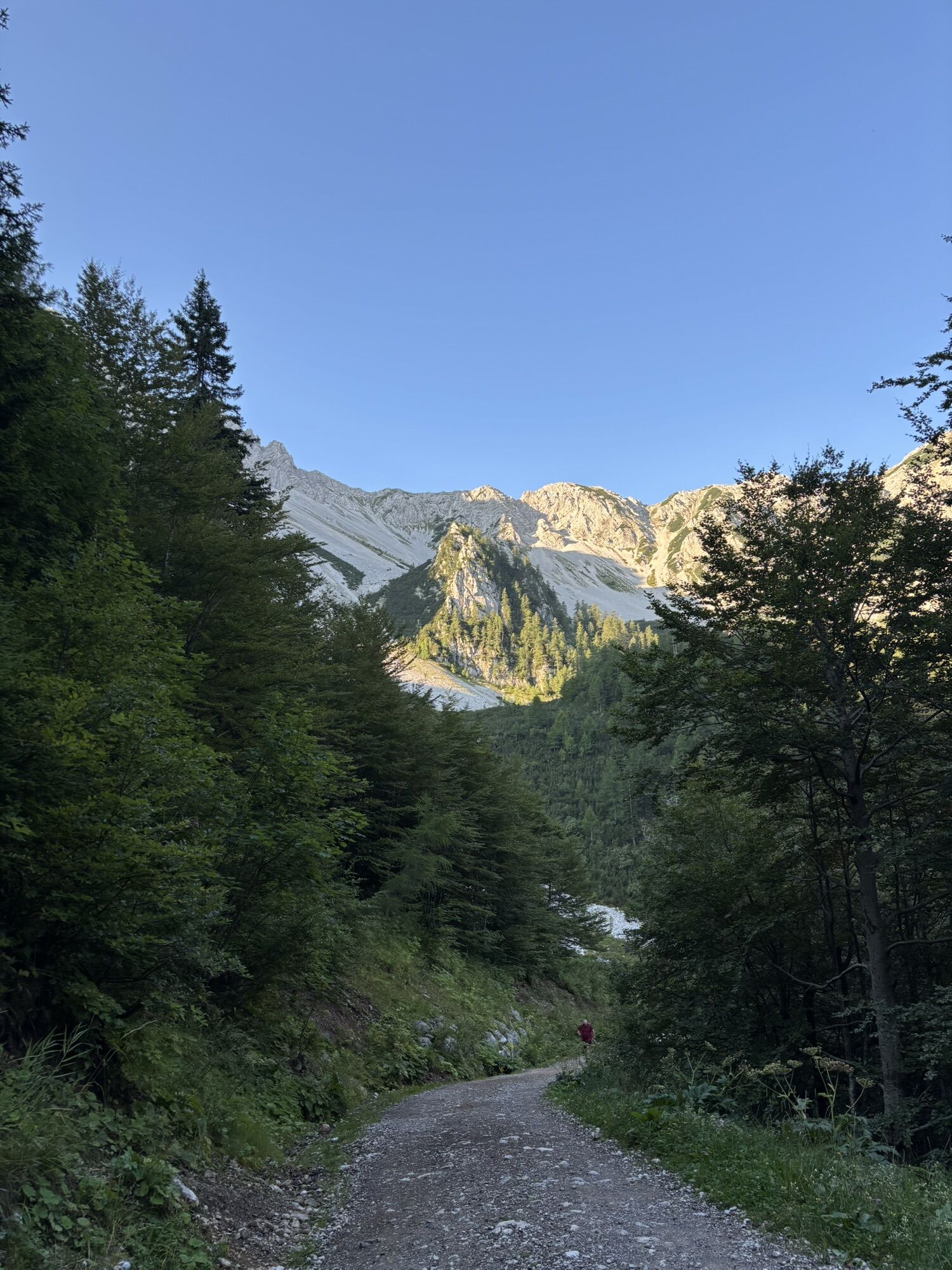
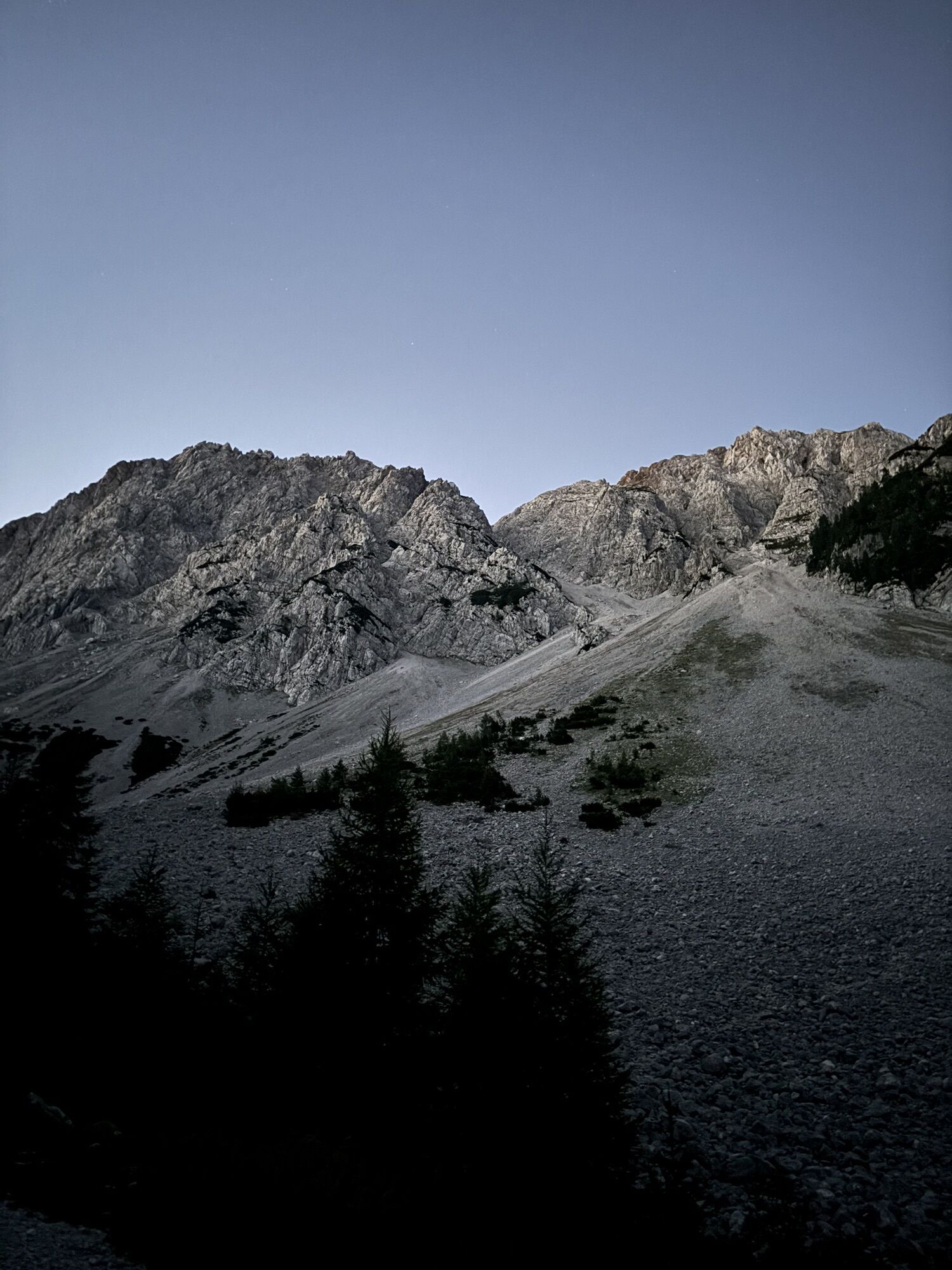
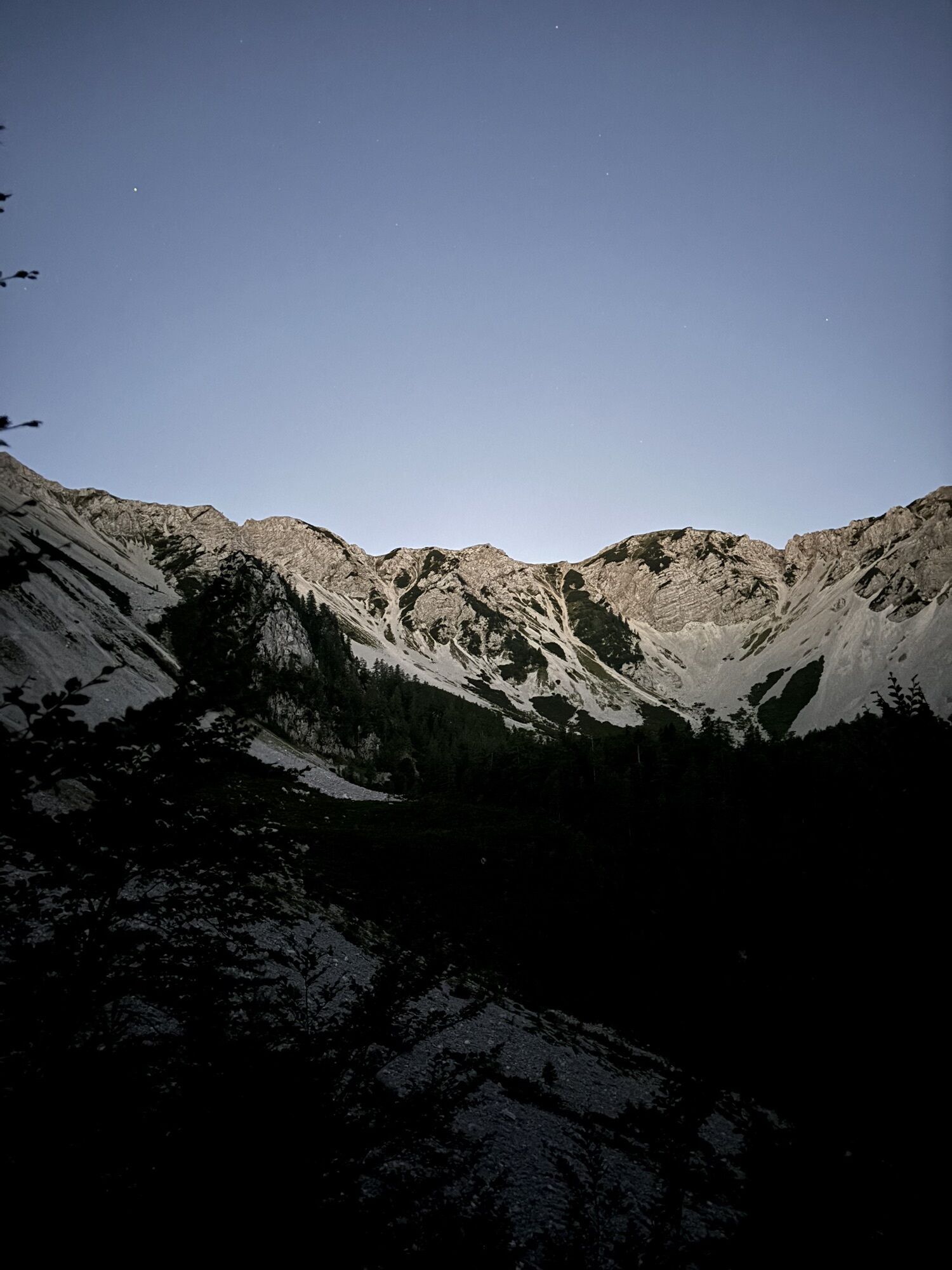
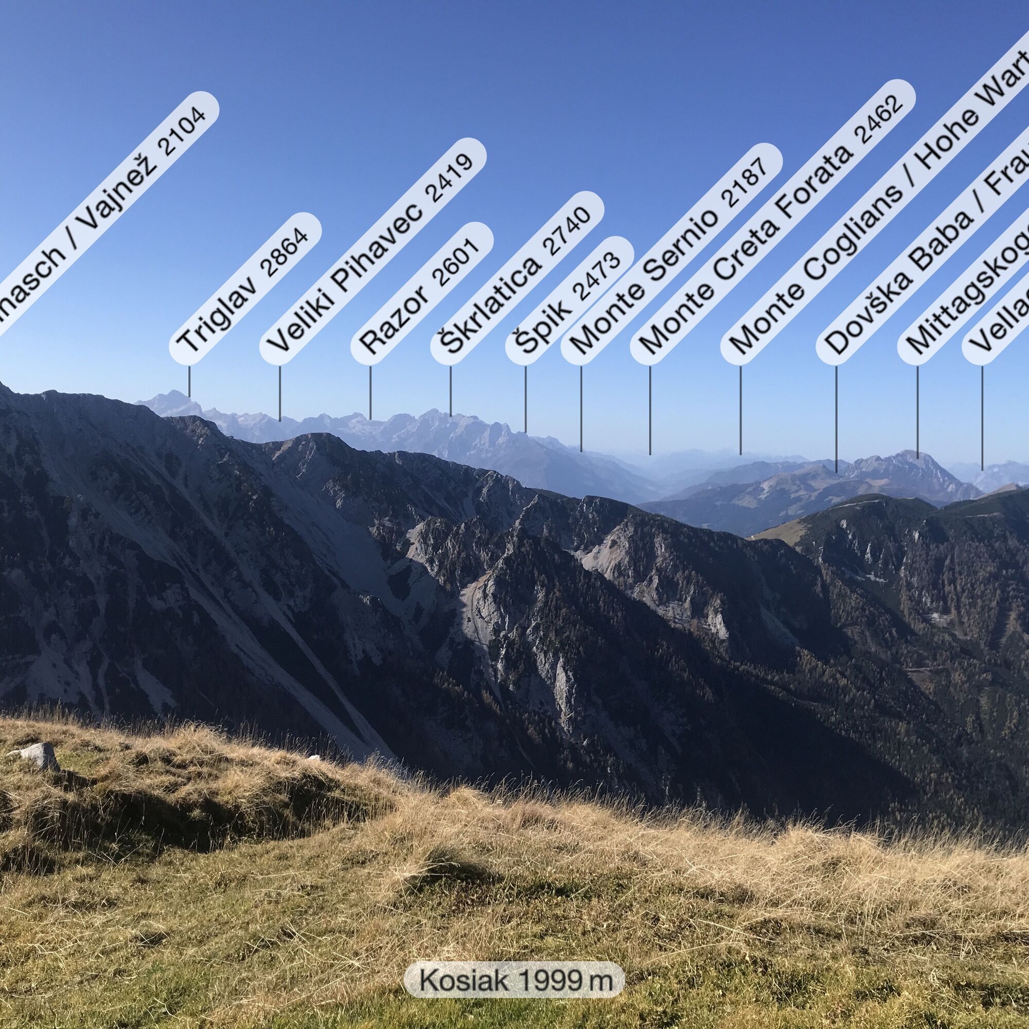
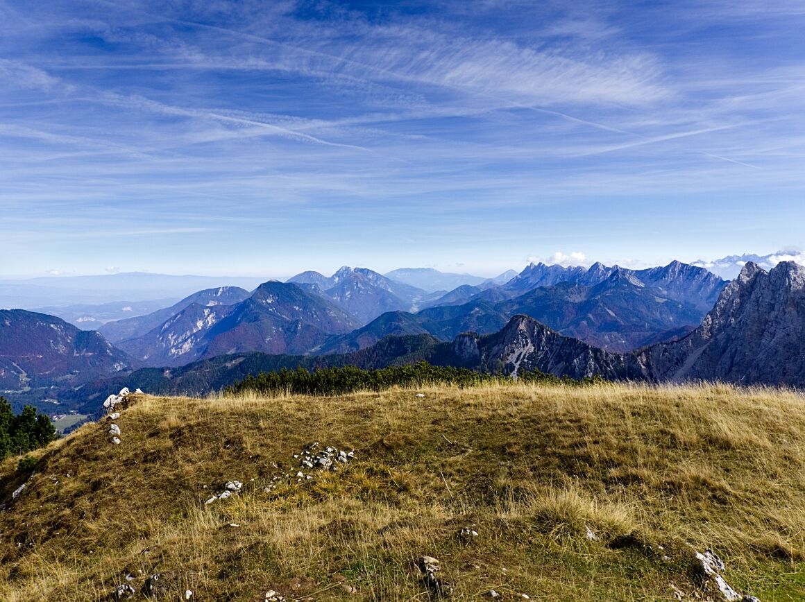
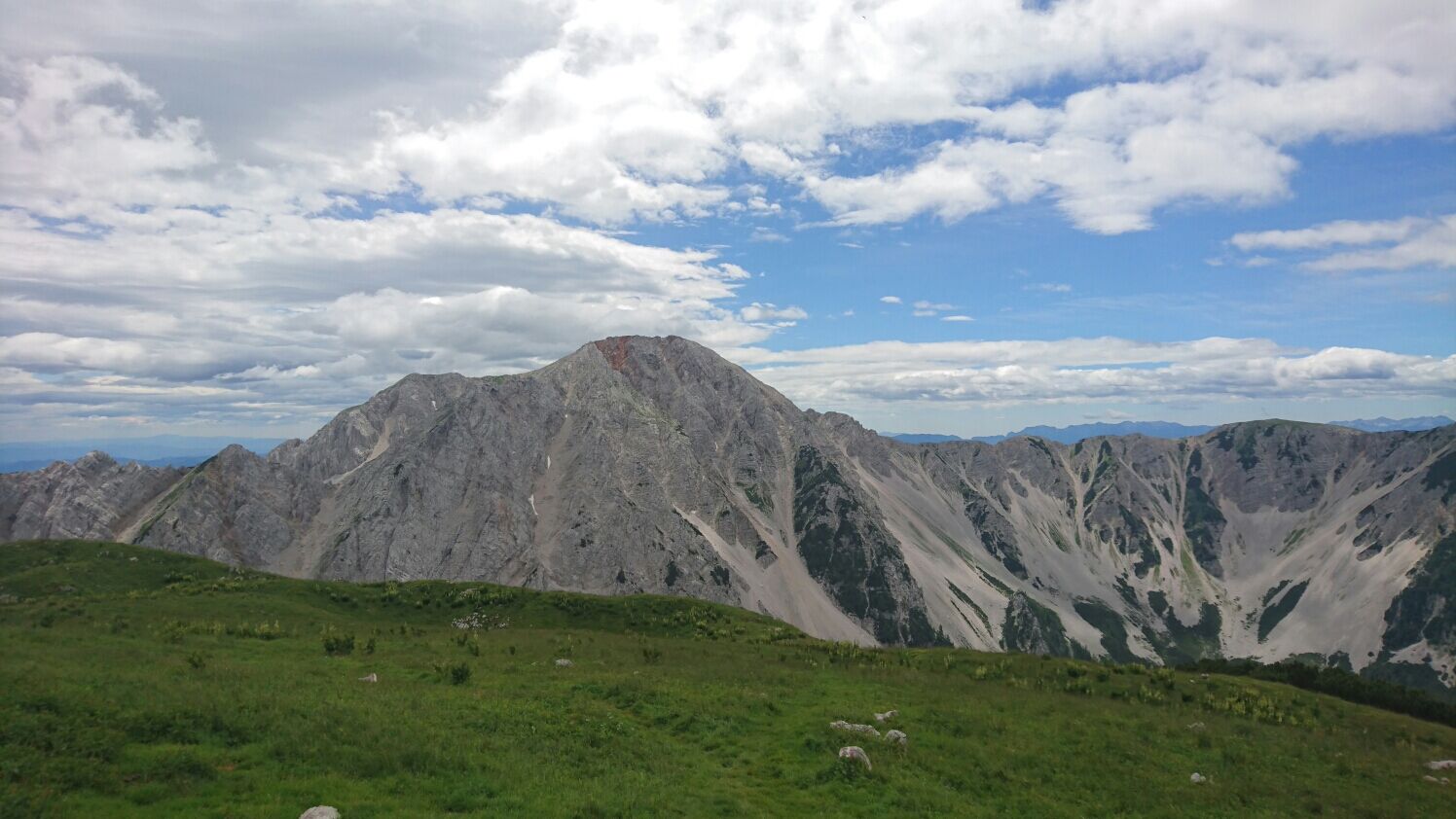
A family-friendly hike in Carinthia, from Bärental in the Rosental region over the Klagenfurter Hut to the summit of the Kosiak (2,024 m). The easily accessible Klagenfurter Hut (1,664 m) already offers a magnificent view of the surrounding peaks and valleys of the region and invites you to linger. An even more impressive view can be enjoyed from the grassy summit of the Kosiak in the Karawanks.
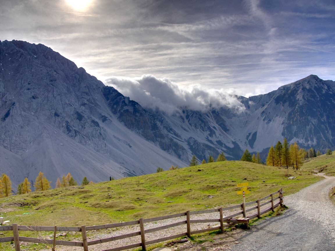
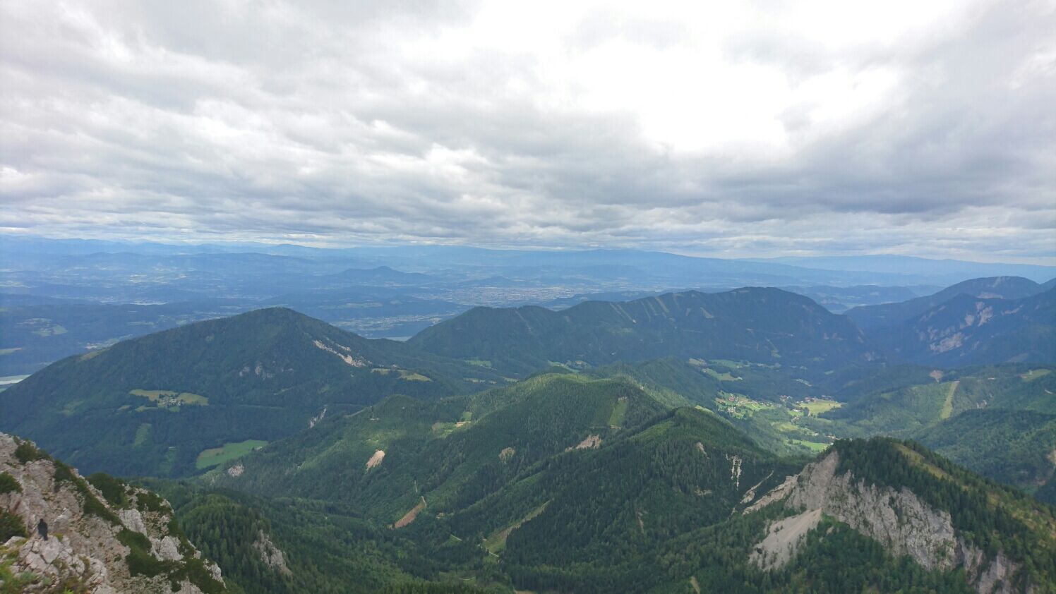
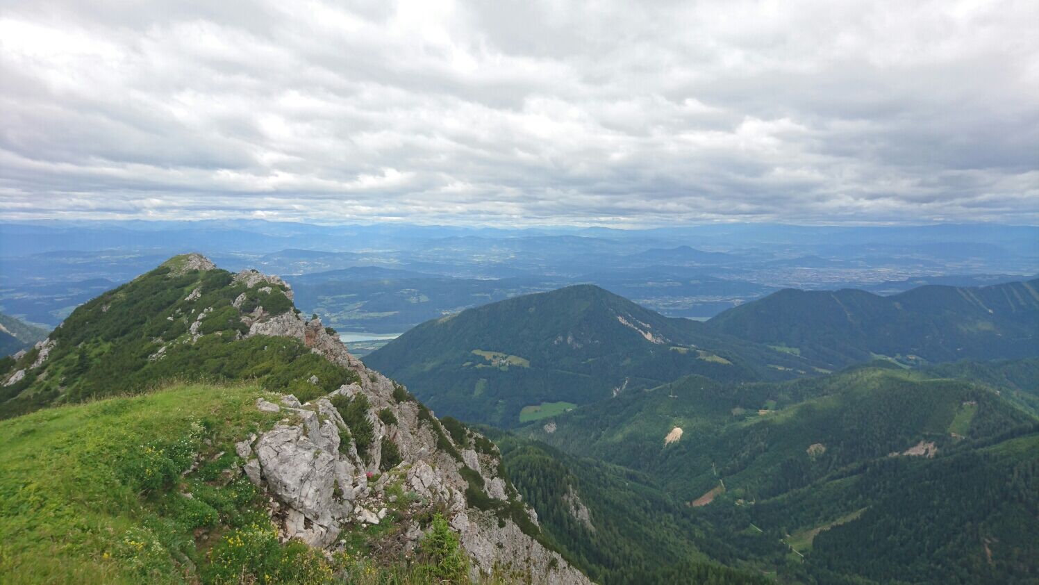
From the Johannsenruhe car park, head to the Klagenfurter Hut. Then continue on path no. 603 towards Machtscher Sattel. On path no. 666, you reach the summit of Kosiak. The descent takes place via path no. 666 (Franz Zopp path) back to the Klagenfurter Hut, where you can enjoy the magnificent panorama of the Karawanks. The descent to the car park is the same as the ascent.
Hiking boots, rainwear, spare shirt, provisions
From Villach via St. Jakob and Maria Elend to Feistritz in Rosental, here turn right after the Lausegger inn and before the Billa into Bärental.
From Klagenfurt via Kirschentheuer to Feistritz in Rosental, here turn left after the Billa and before the Lausegger inn into Bärental.
Follow the paved road about 5 km, past the car park near the former Stouhütte and on a gravel road about 2 km to the Johannsenruhe car park.
At the starting point of the route
Stopover at the Klagenfurter Hut
Priljubljeni izleti v okolici
- 4,2
From Bärental to the Kosiak (Klagenfurter Hut)
srednjaPohodništvo9,67 km - 4,7
Water experience trail Hainschgraben
srednjaPohodništvo9,23 km - 4,7
Sinacher Gupf crossing
srednjaPohodništvo8,32 km - 4,7
Ogrisalm ab Bodenbauer, Kärnten/Österreich
svetlobaSmučarska tura11,2 km - 4,8
Hochstuhl 2236m über Klettersteig
srednjaVia ferrata9,67 km - 3,7
Hiking route Bodental/Klagenfurter Hut
srednjaPohodništvo11,9 km - 5,0
Rjautza
srednjaPohodništvo8,98 km - 4,1
Slow Trail Meerauge
svetlobaPohodništvo5,25 km - 4,2
Winter hike Singerberg
srednjaZimsko pohodništvo8,36 km - 4,0
Through the Tscheppa Gorge to Bodental
srednjaPohodništvo10,6 km
Pohodništvo in sledenje


Ne zamudite ponudb in navdiha za naslednje počitnice
Vaš e-poštni naslov je bil dodan na poštni seznam.