


Wangenitz Valley to the Wangenitzsee Hut and further to the Petzeck (3,283m)

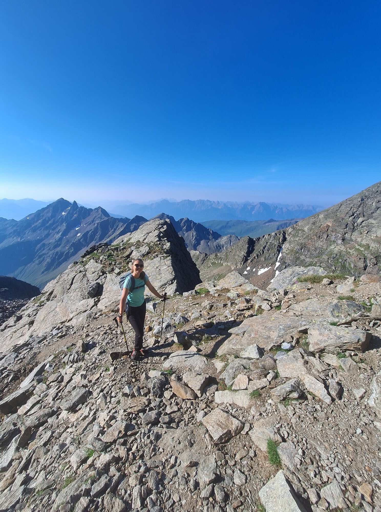

The entire route is very well marked. The hiking trail to the Wangenitzsee Hut is clearly visible and not difficult, vertigo is not strictly required. The additional ascent to Petzeck is a worthwhile route,...
The entire route is very well marked. The hiking trail to the Wangenitzsee Hut is clearly visible and not difficult, vertigo is not strictly required. The additional ascent to Petzeck is a worthwhile route, not difficult, but stamina and fitness are absolutely necessary. If this route is too long for you, an overnight stay at the Wangenitzsee Hut is recommended. An incredible and unforgettable experience is guaranteed!

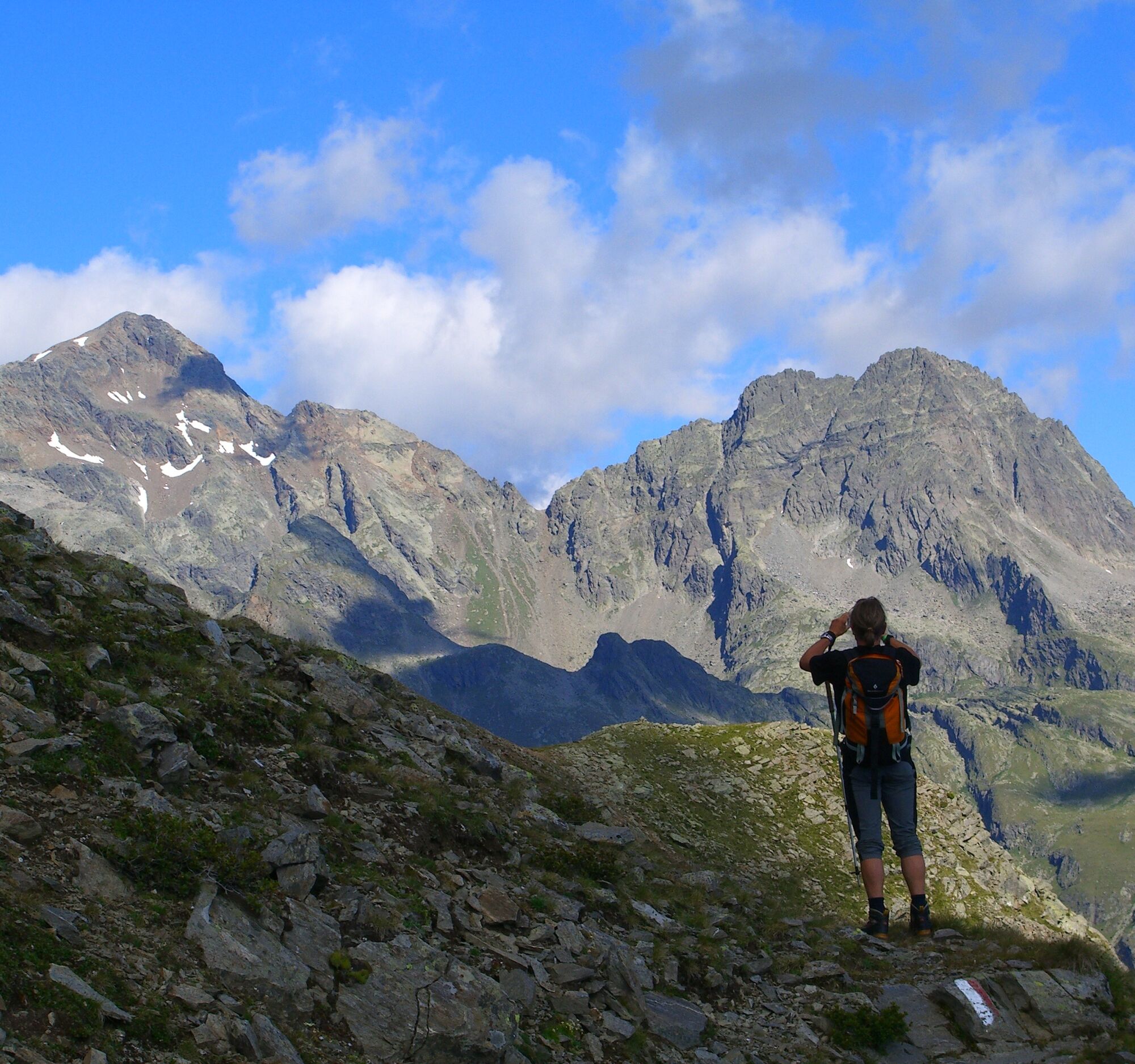
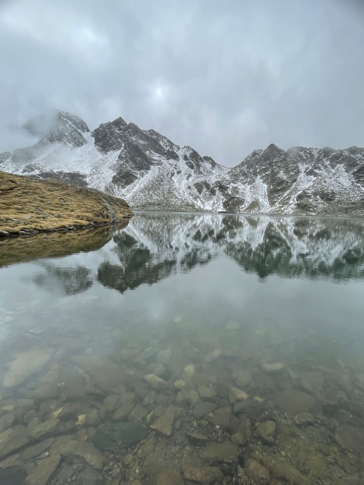
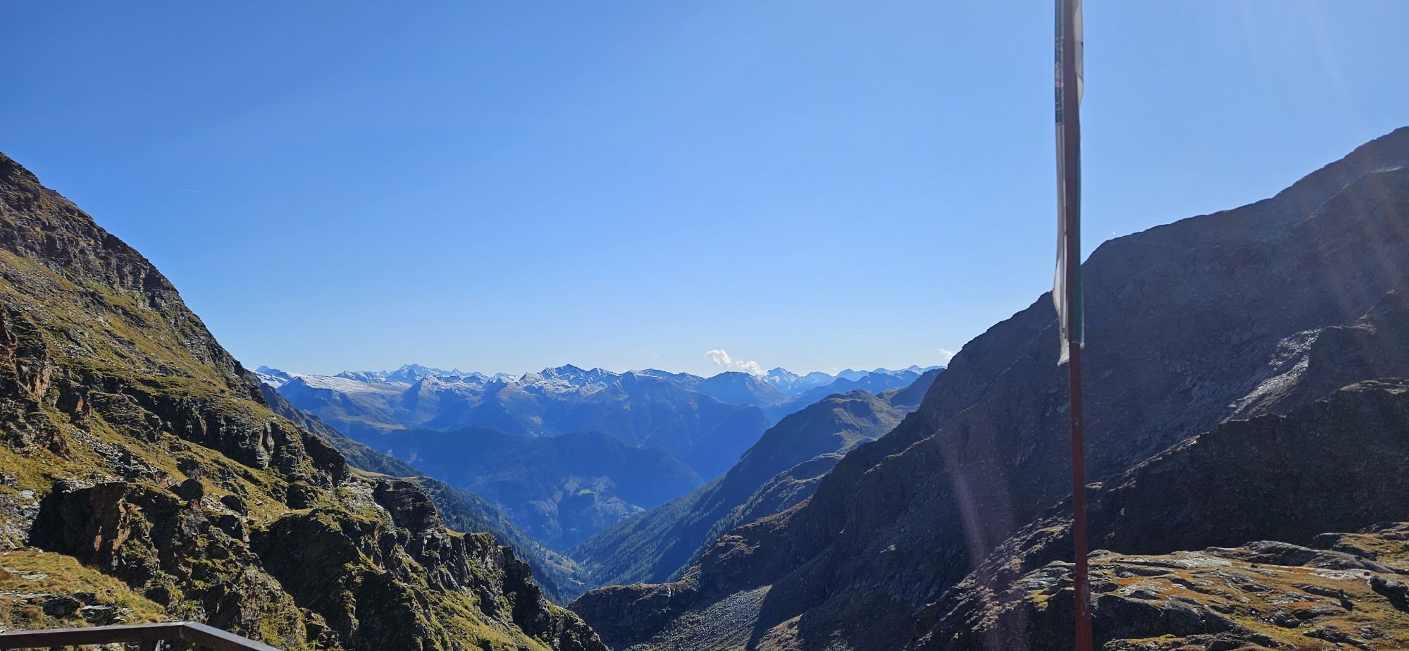
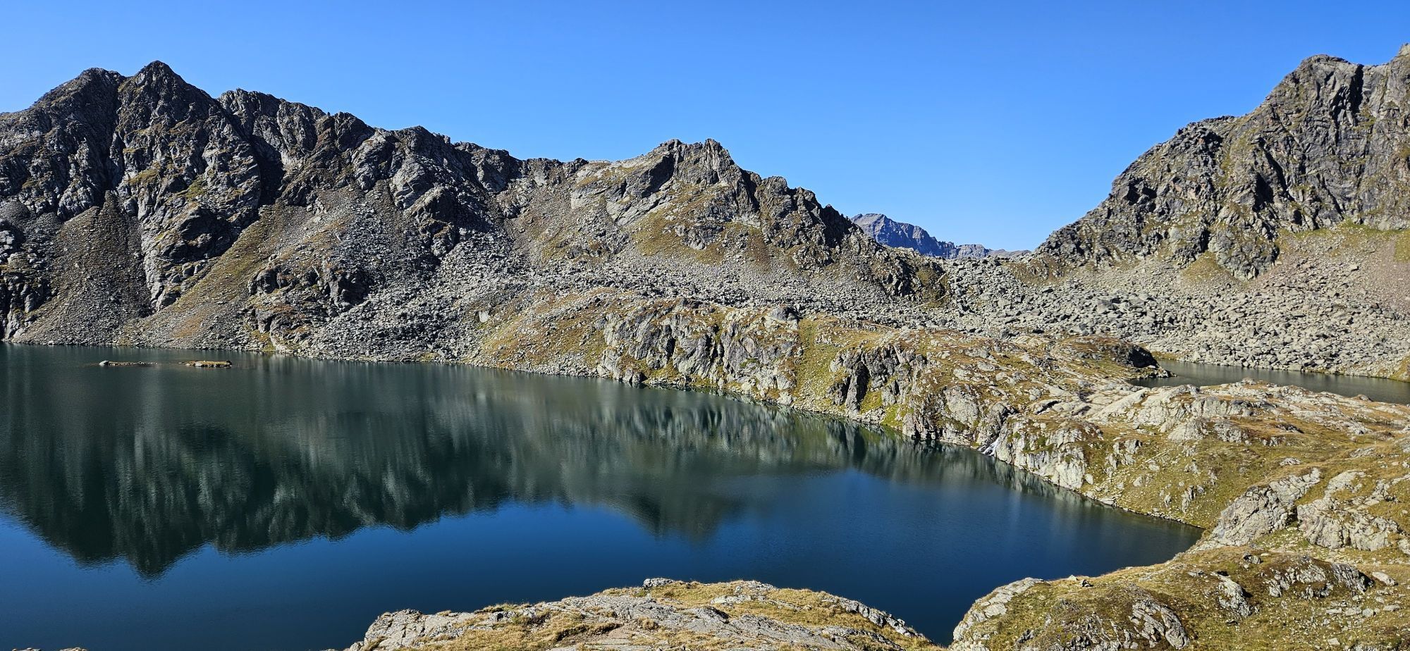
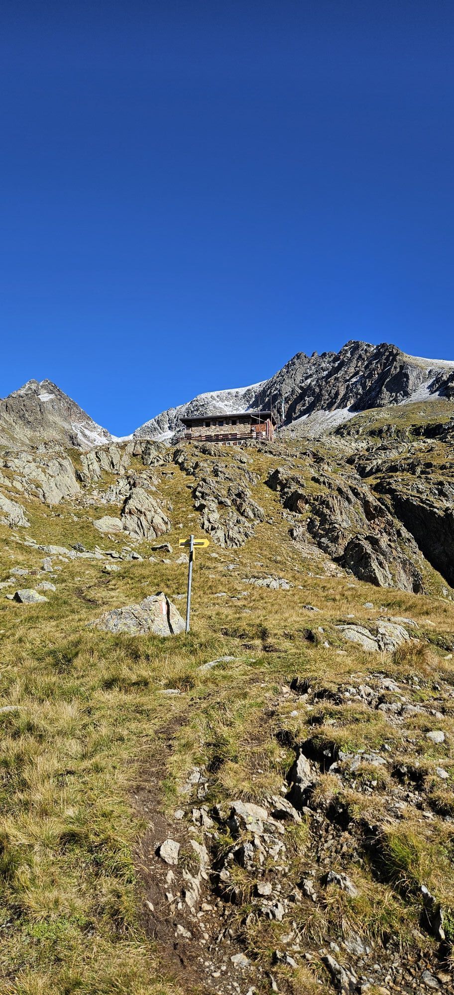
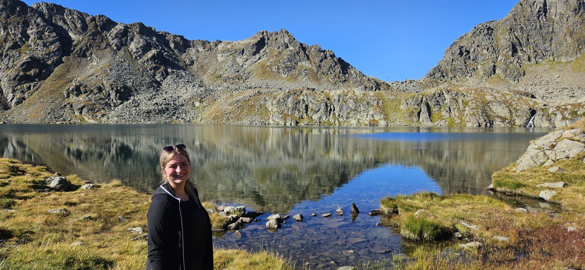
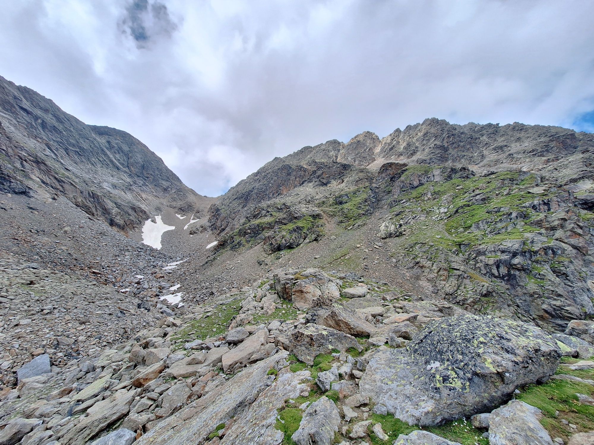
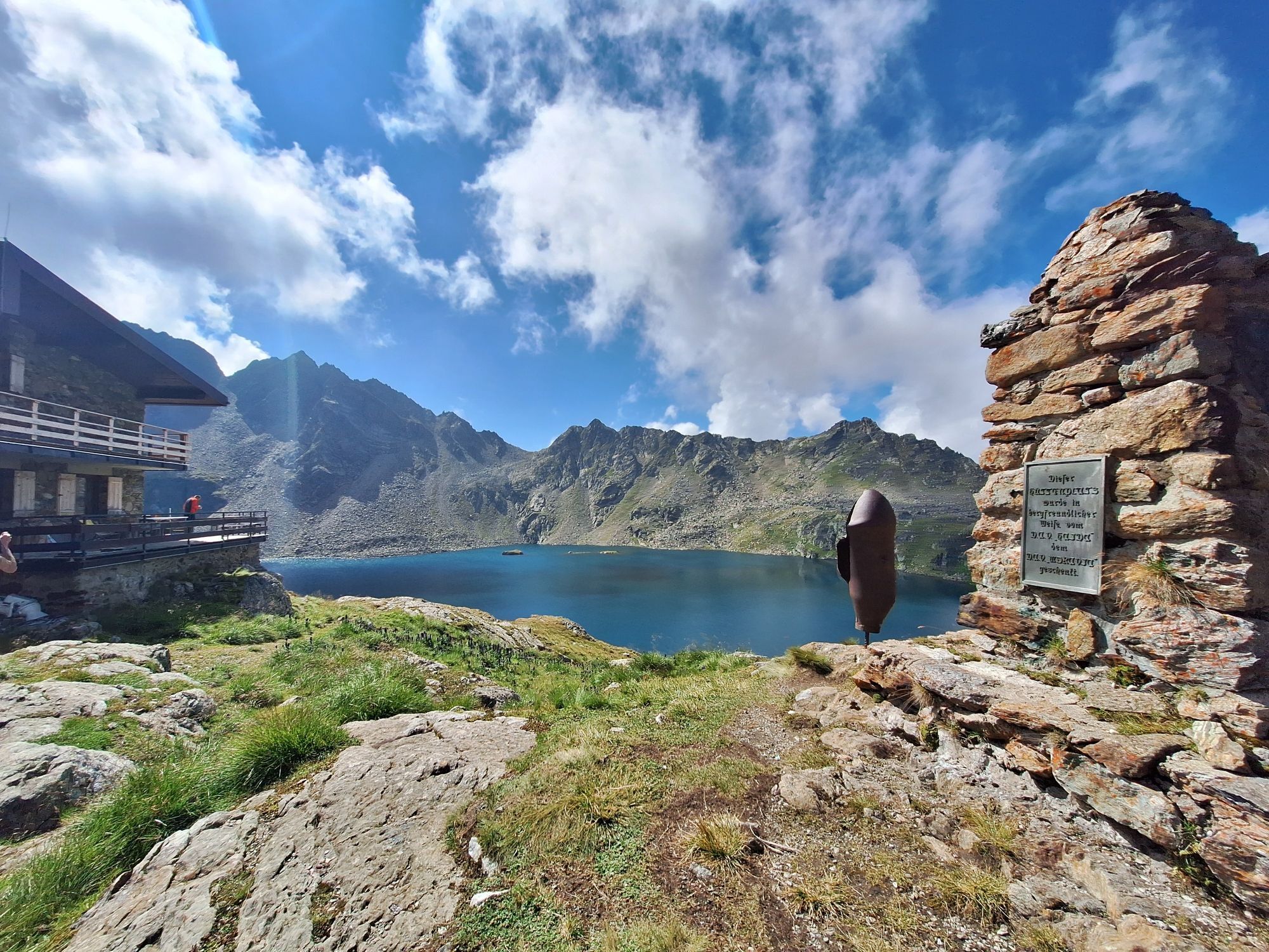
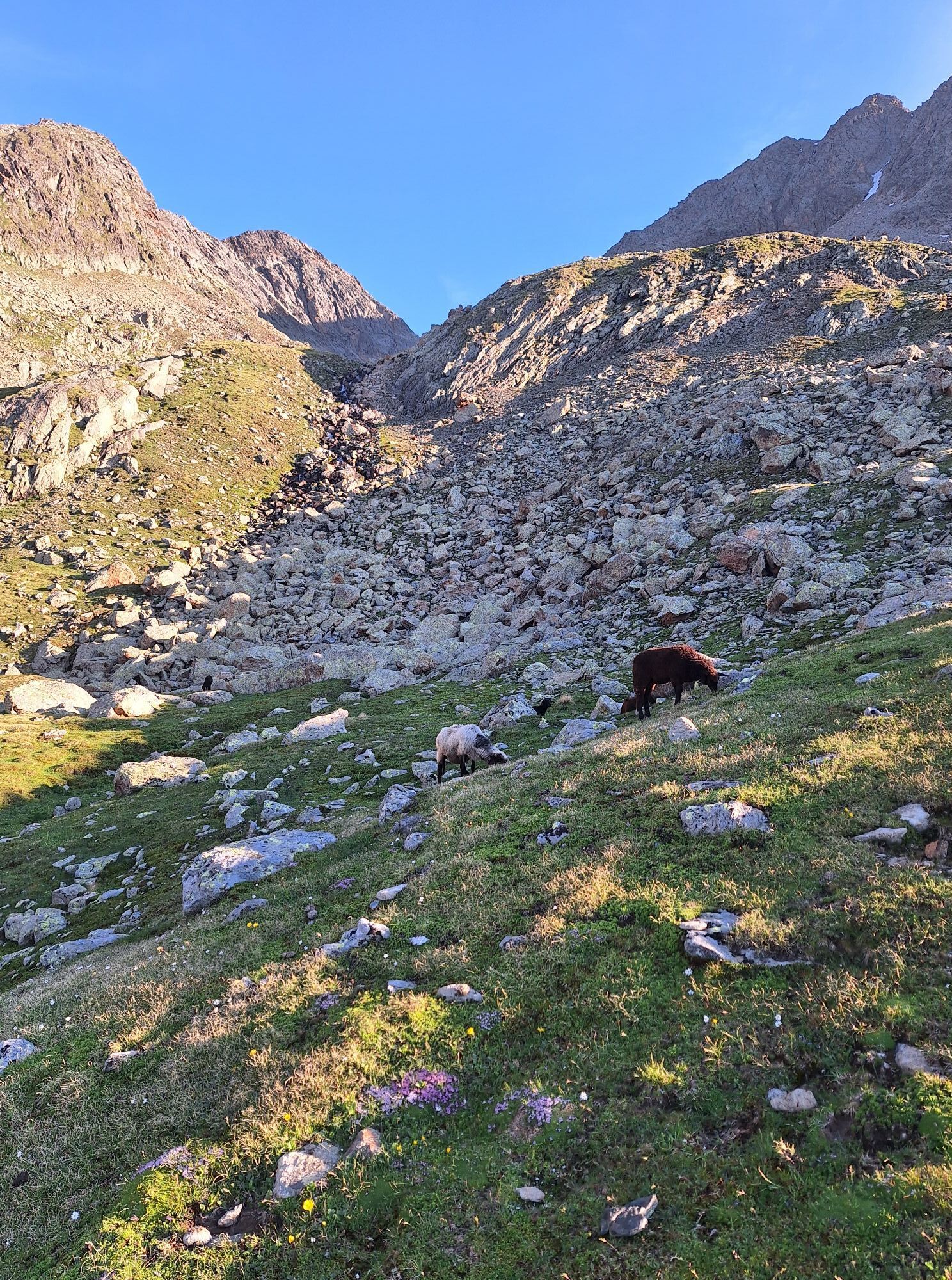
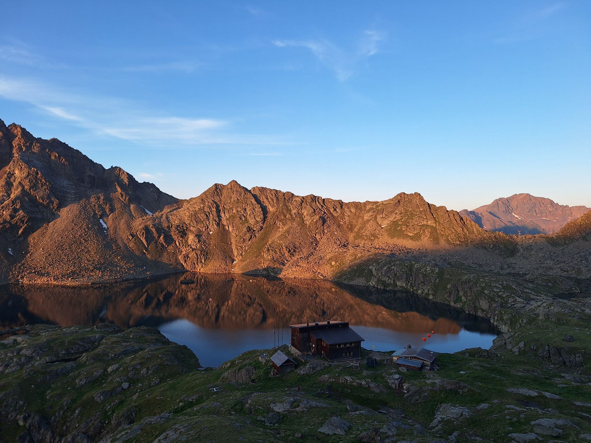
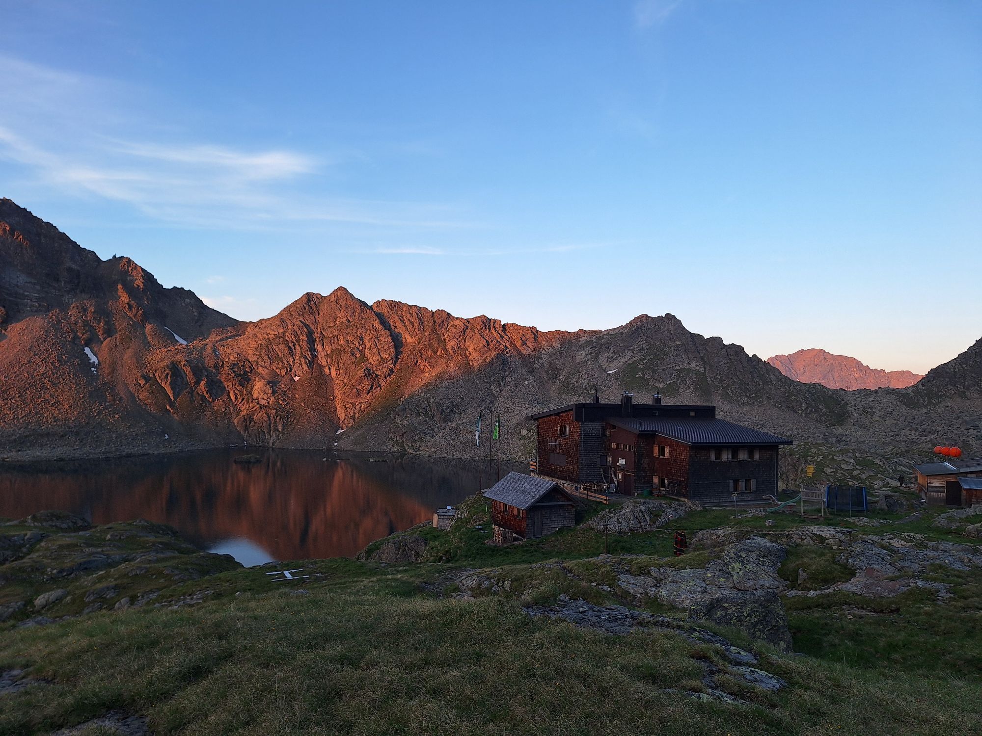
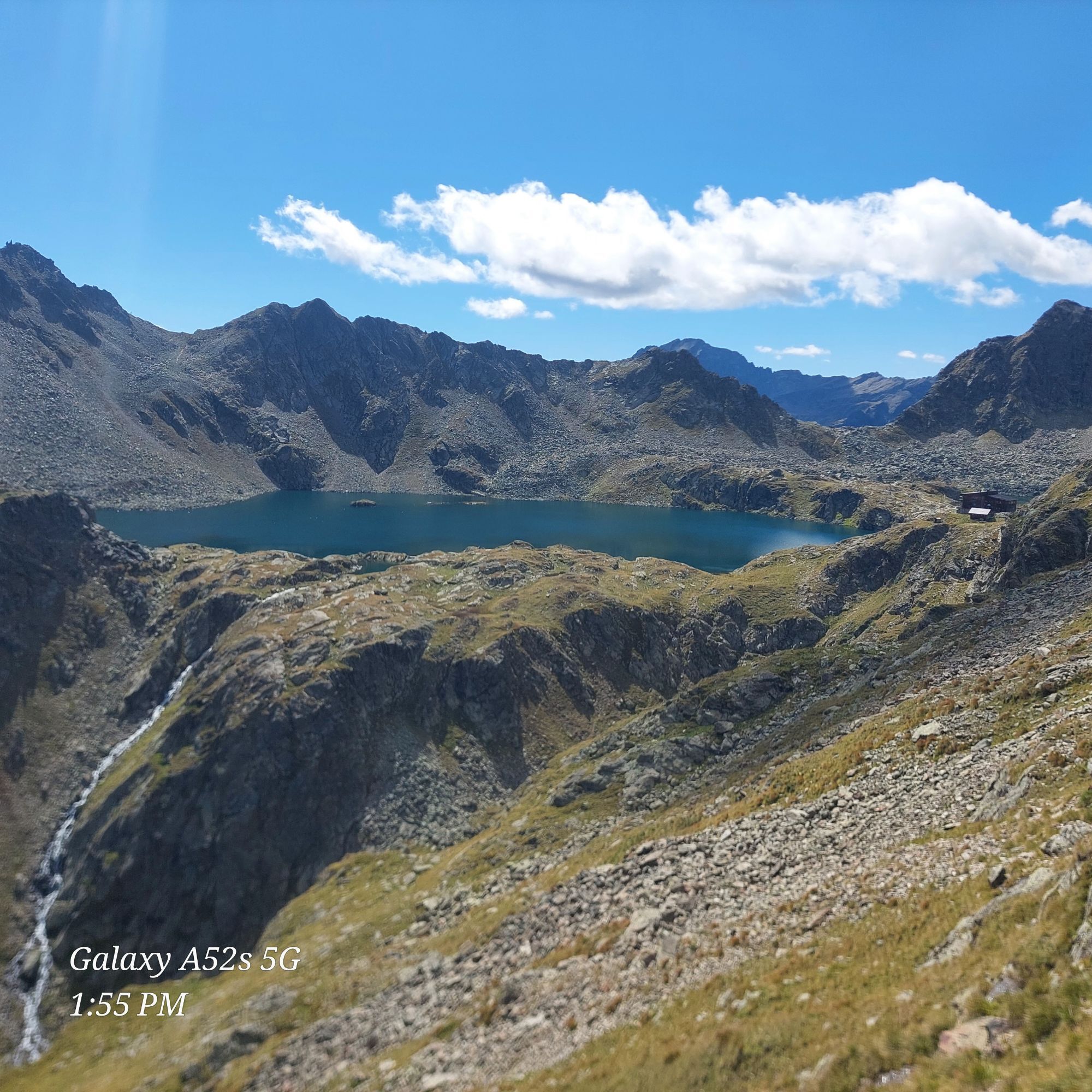
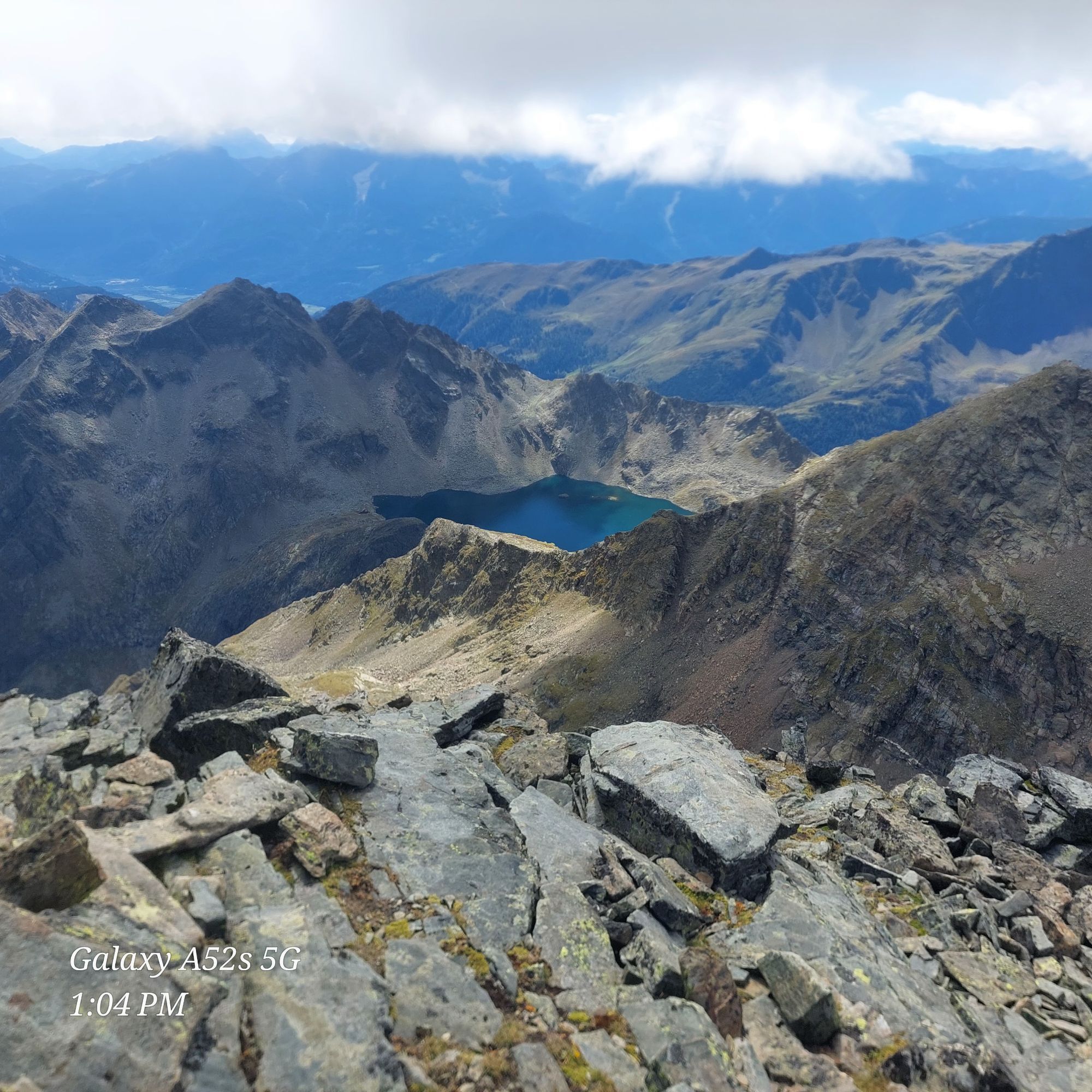
The path starts quite easy and initially leads through the alpine landscape of Mörtschach. After a steep section along the Wangenitzbach, you reach a plateau of lakes that will take your breath away. Beautifully, the two lakes lie side by side. A flatter section follows before the next ascent begins. Along the well-developed hiking trail, the scenery becomes increasingly impressive. The most beautiful view awaits you at the end of the first stage – the lake plateau at over 2,500m altitude with the Wangenitzsee – the largest mountain lake in Carinthia, and the nearby Kreuzsee.
The hike to the Wangenitzsee Hut and back takes about 5-6 hours.
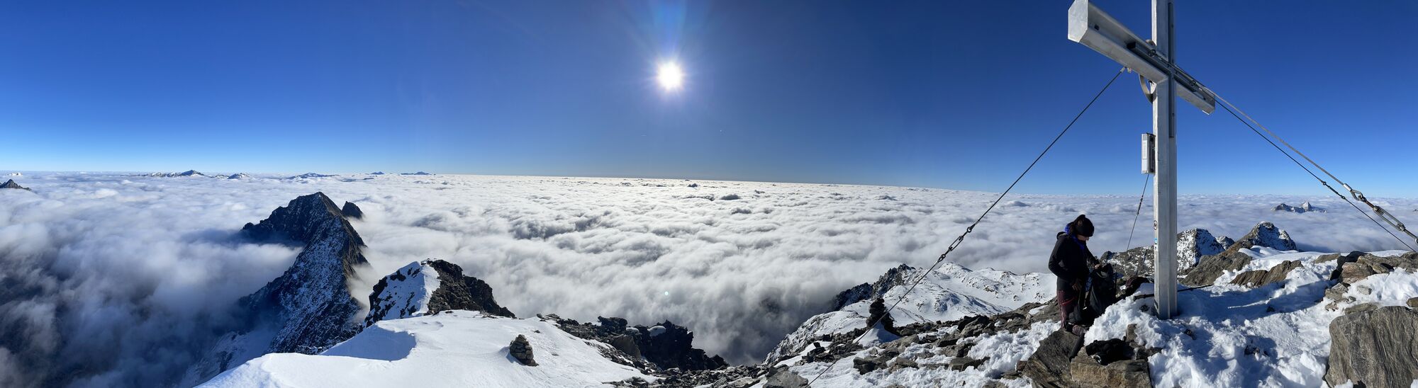
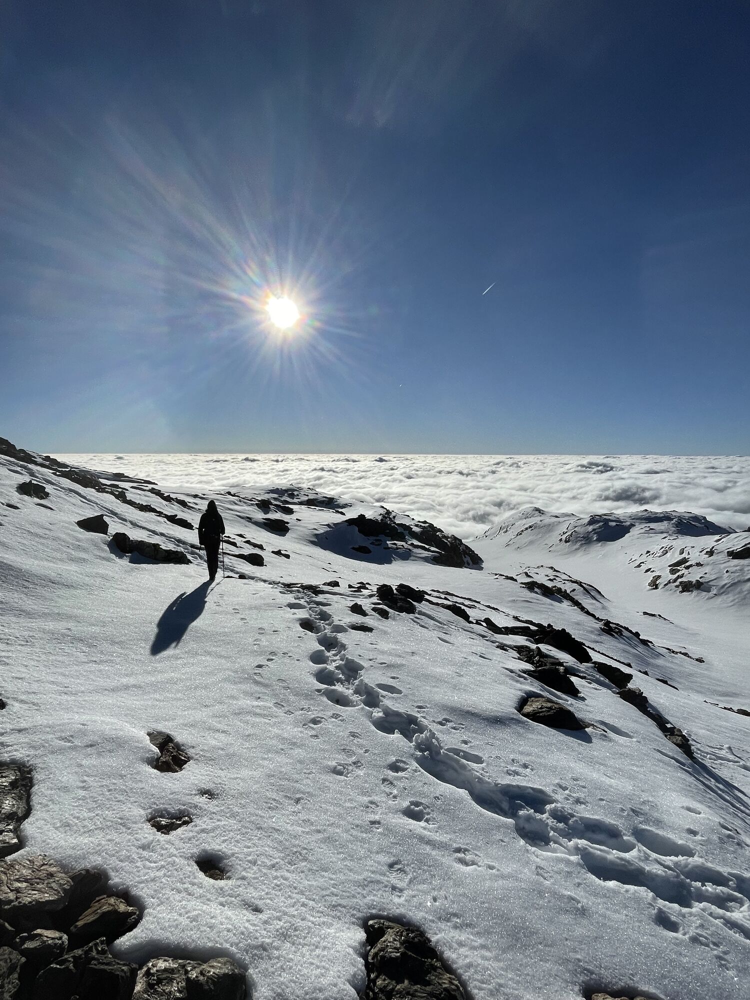
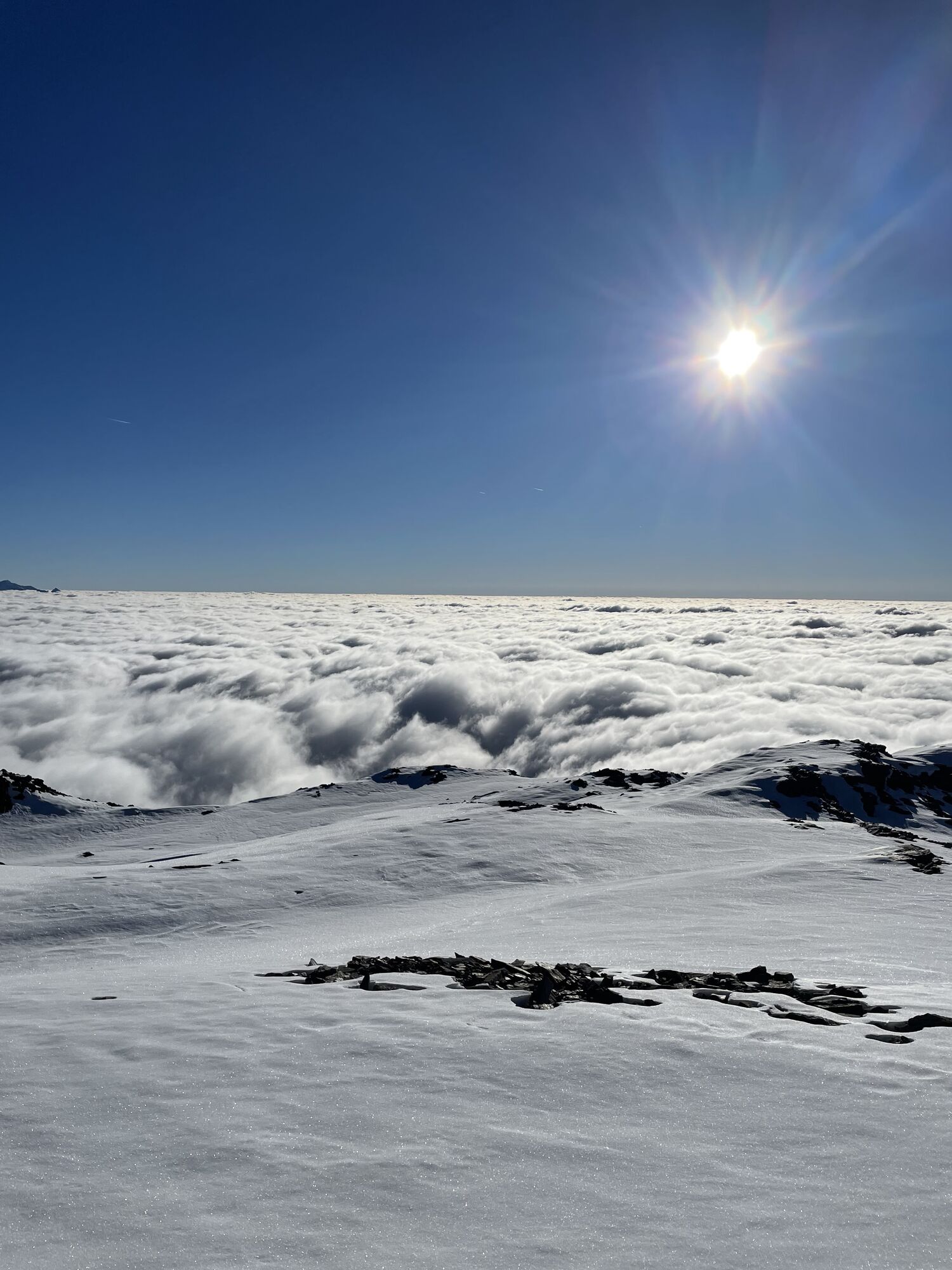
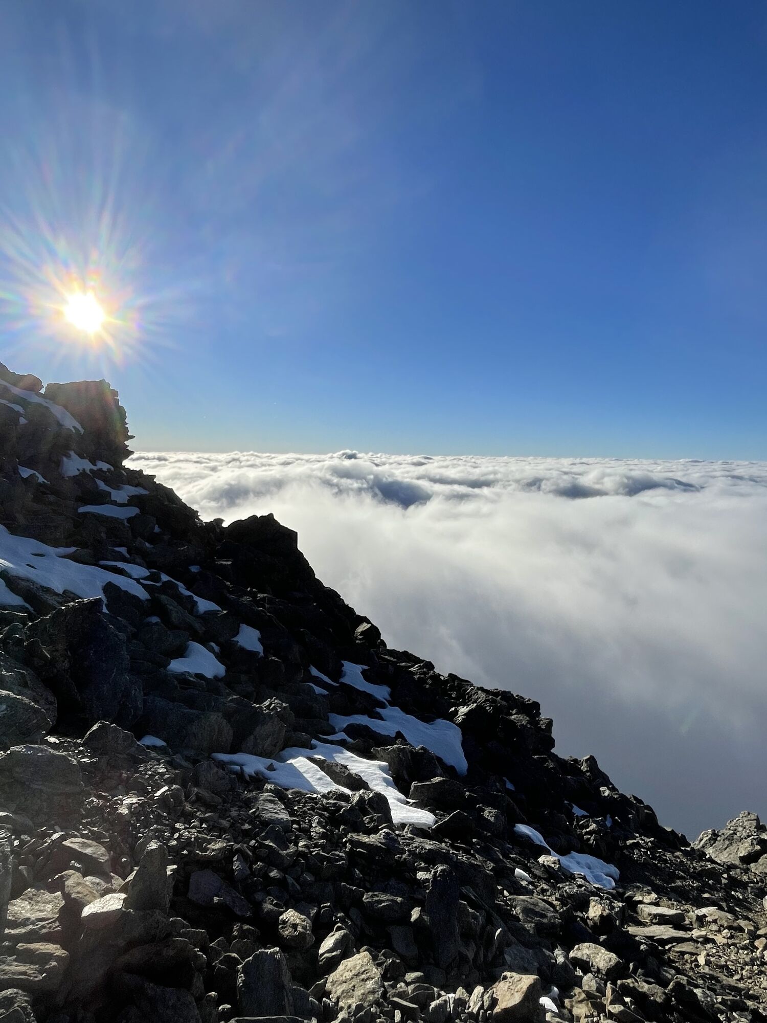
Ascent to Petzeck:
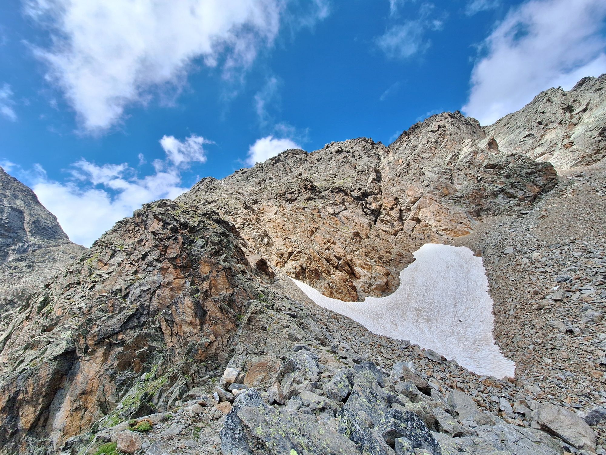
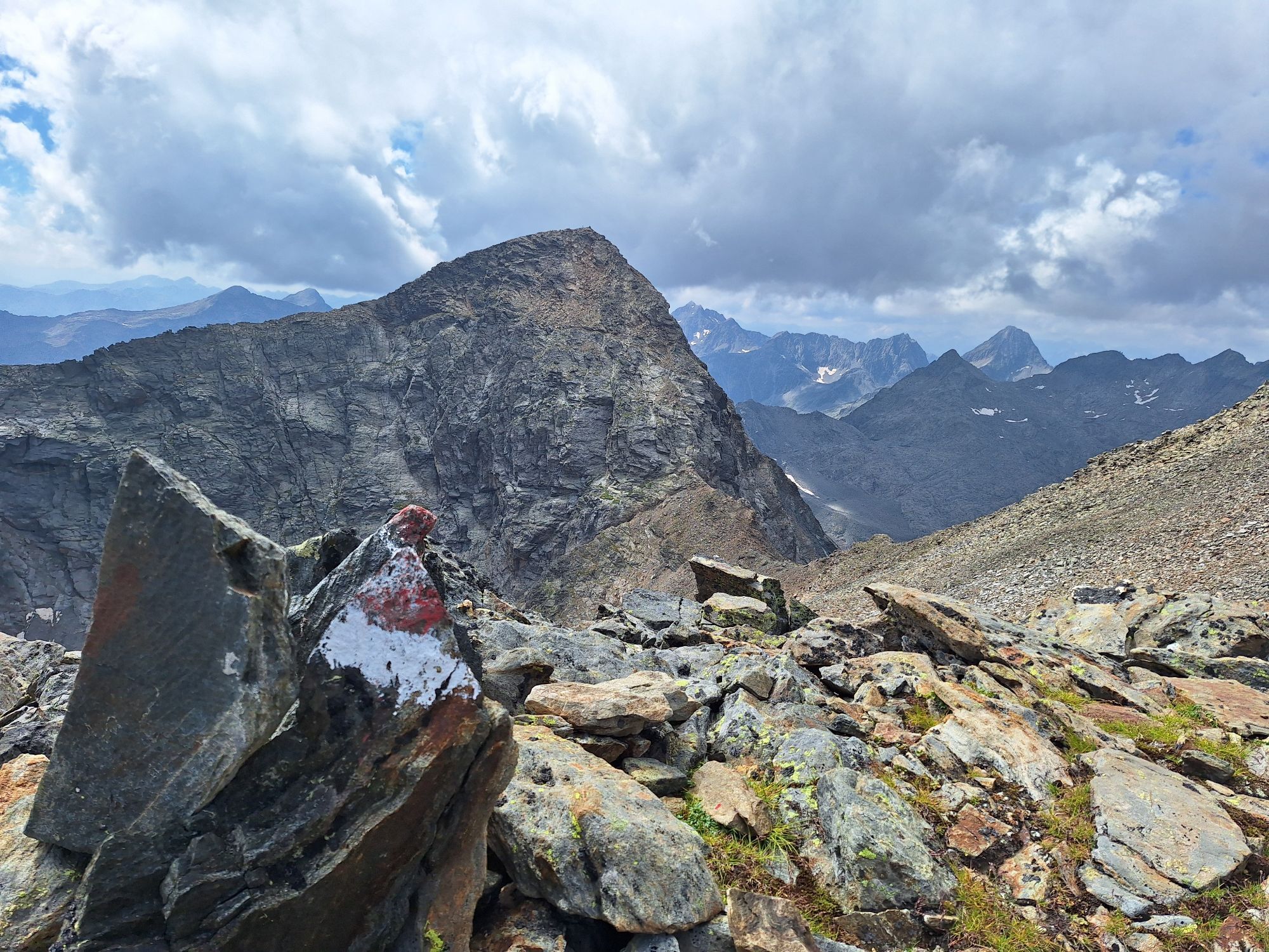
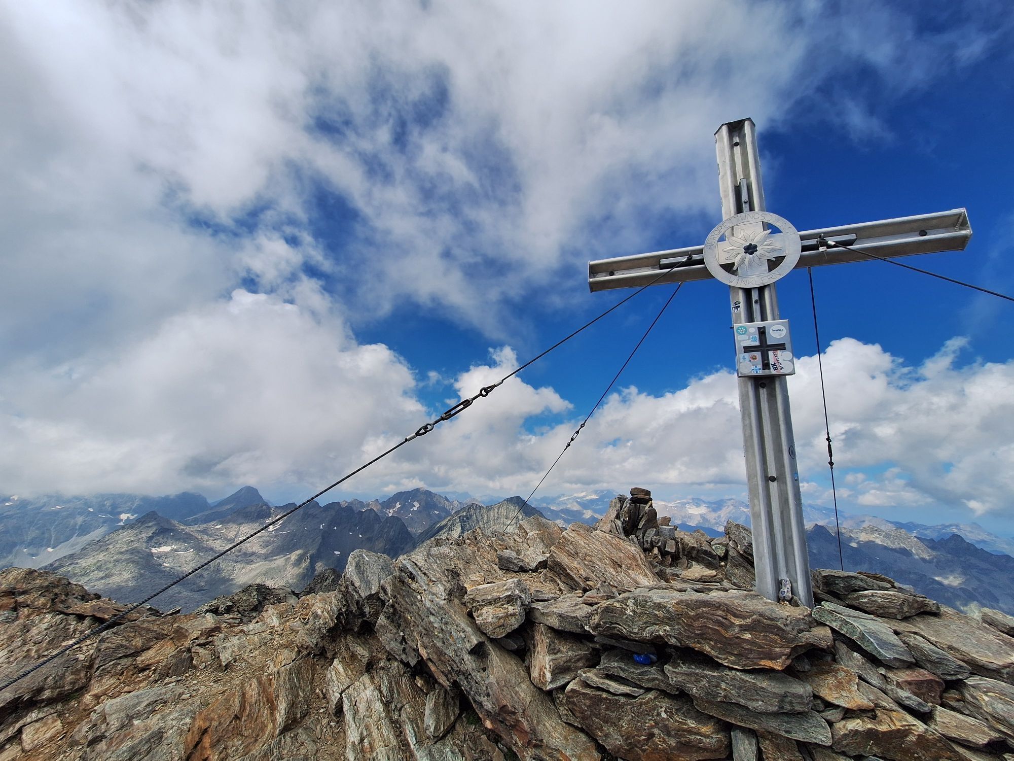
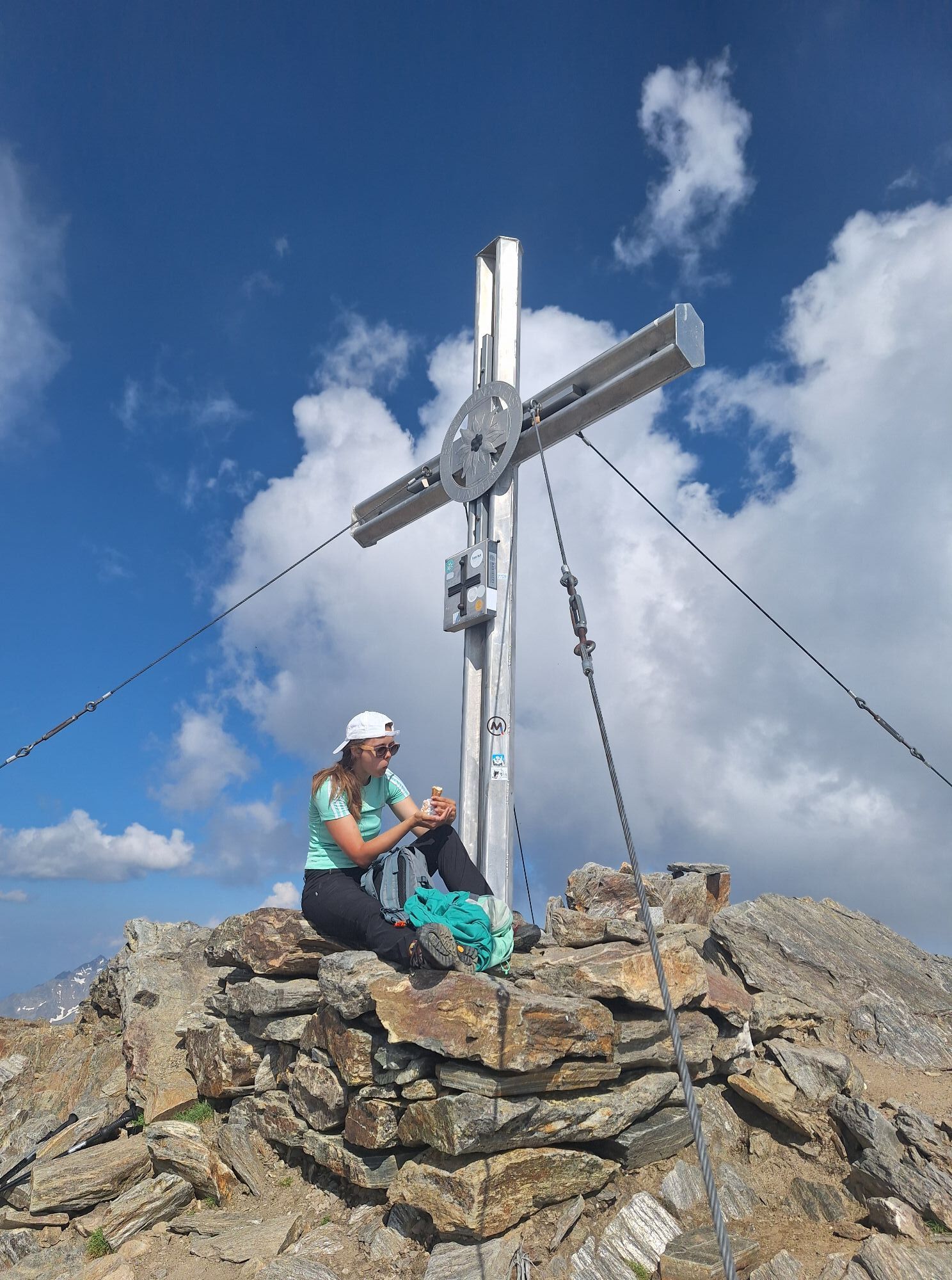
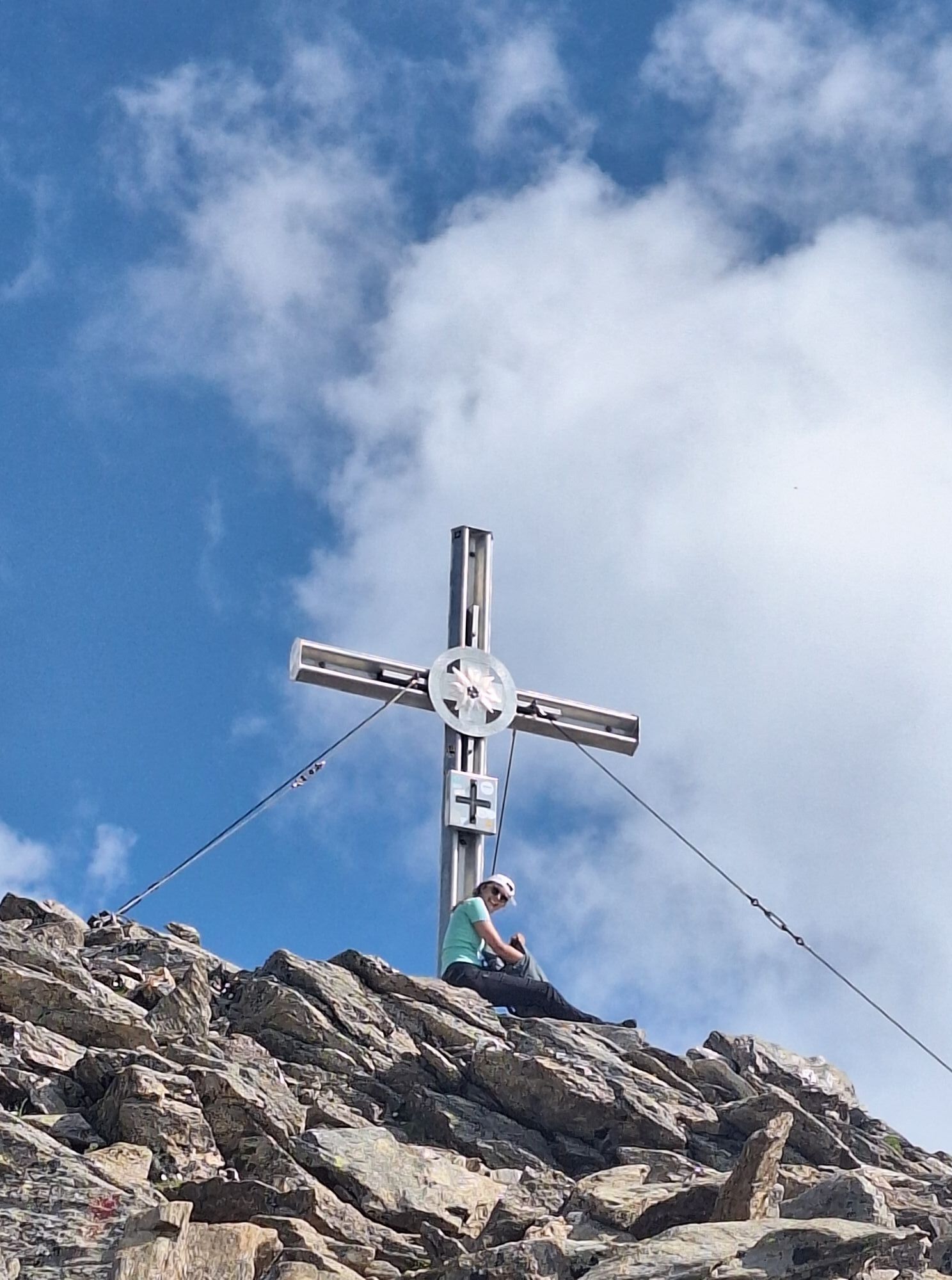
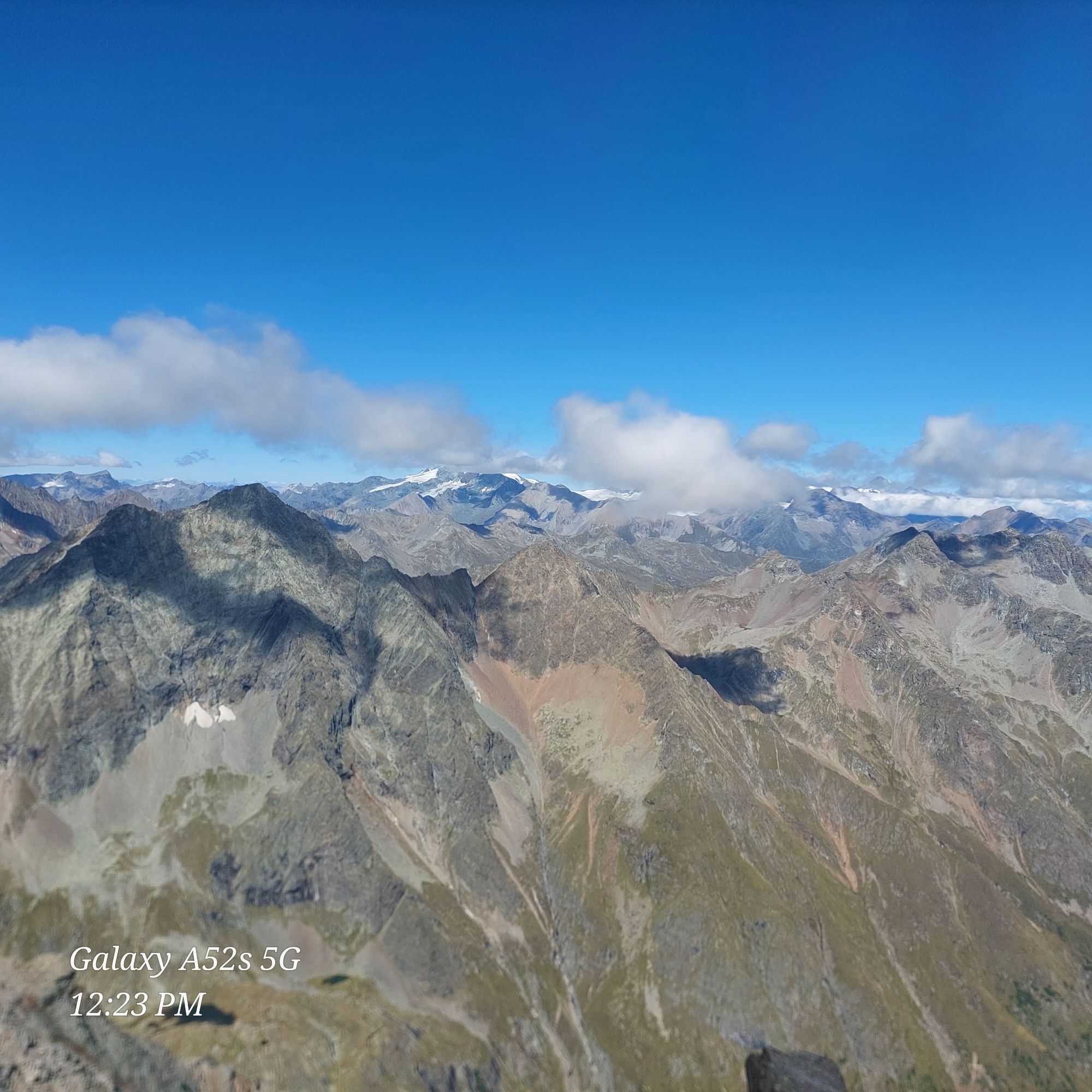
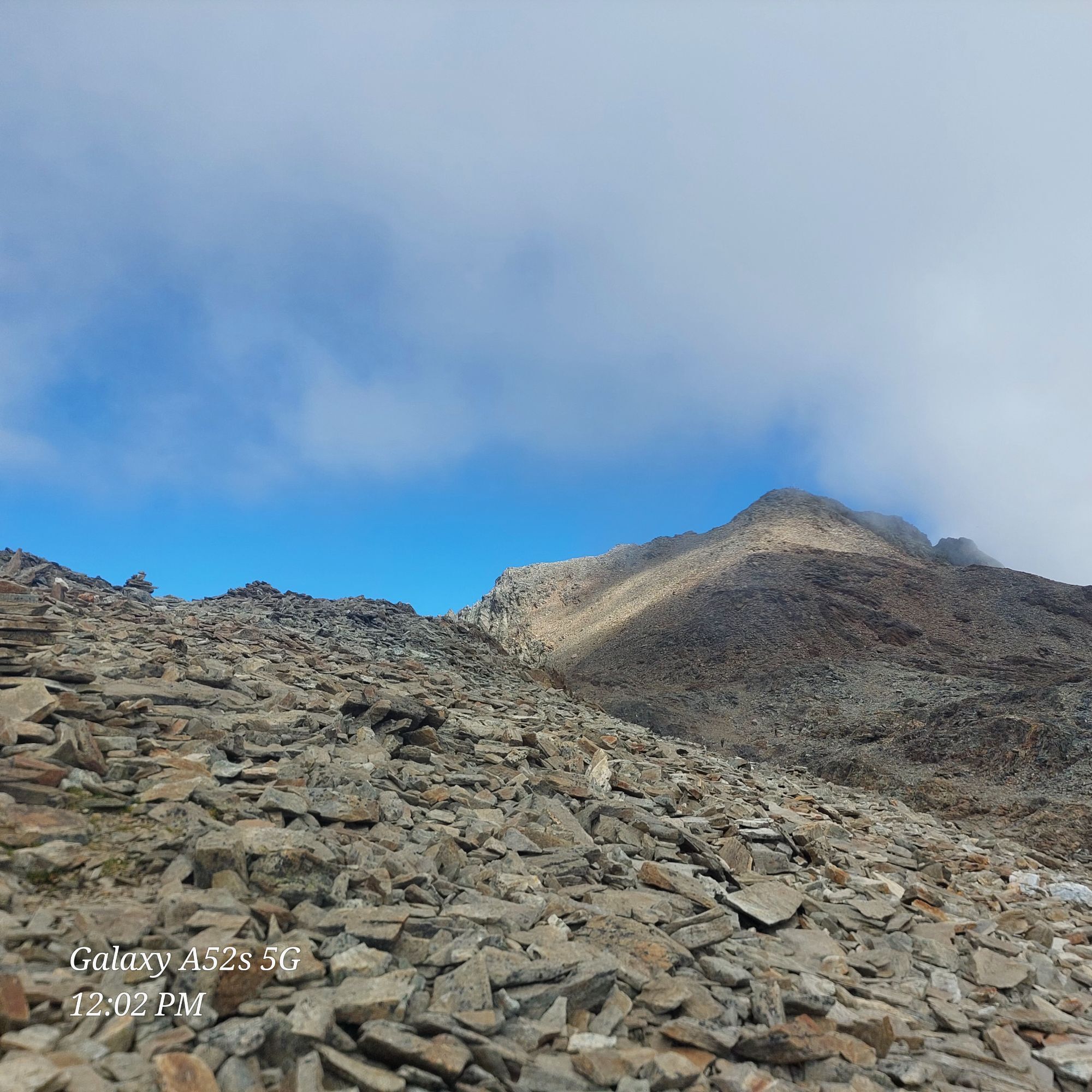
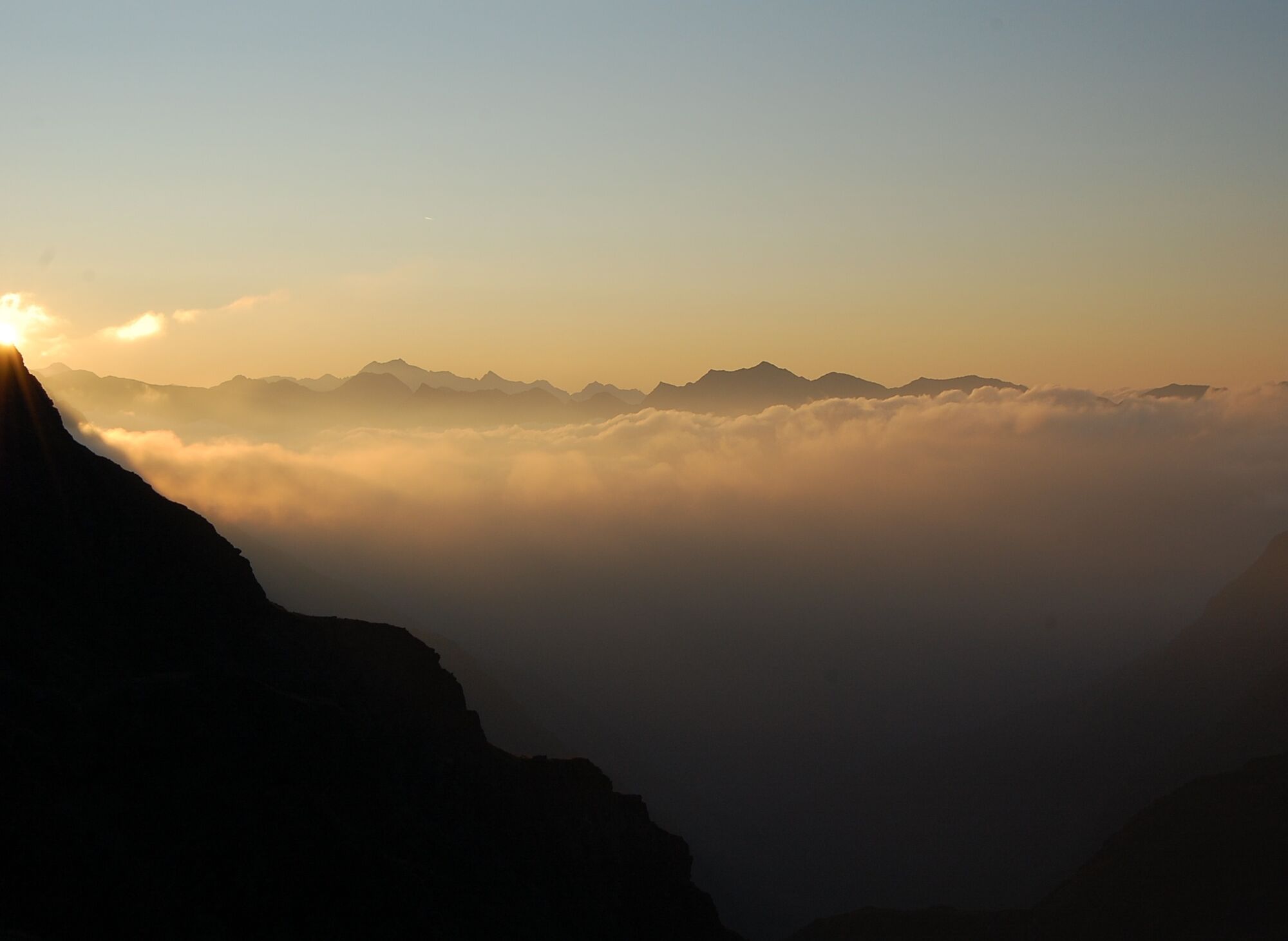
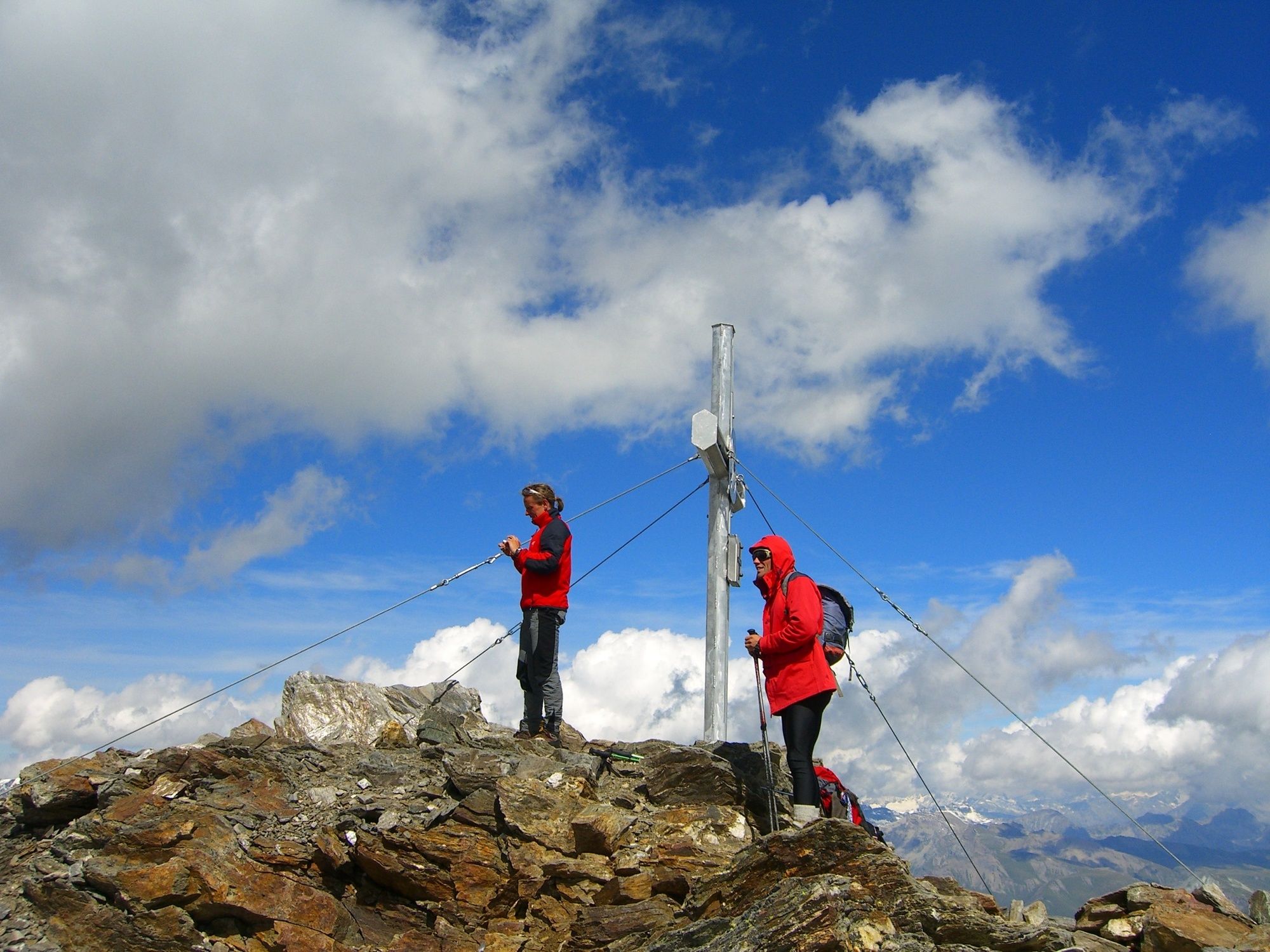
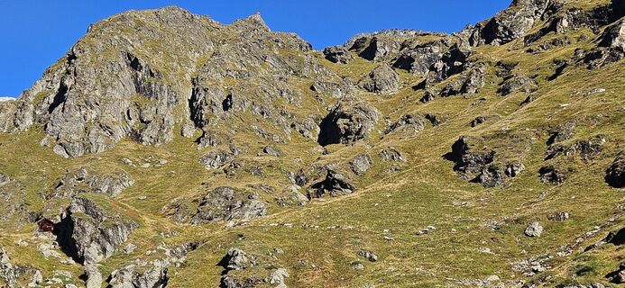
Soon it goes steeply uphill again. The meadows give way to scree and rocky paths. After the last bend, there is a snowfield in front of you (remnants of a glacier) which is easy to cross, and the final ascent is ahead. The beautiful summit cross is already within reach!
The entire route from the parking lot to Petzeck and back takes about 10 hours of pure walking time! Therefore, start at the latest by 7:00 am or plan an overnight stay!
Da
Hiking equipment, sturdy hiking boots, backpack with snacks and drink. Hiking poles are highly recommended – especially for the descent.
Via the B 107 to Mörtschach, turnoff Pirkachberg - about 4 km to the end of the road, where the parking lot is located. The last part of the road changes from asphalt to a well-drivable gravel road.
Parking lot next to the road - along the path
It is claimed: If you can complete this route in one day, you are fit for the Großglockner!
It is not a standard, especially regarding difficulty, but it is still a benchmark to better assess yourself!
Dejavnosti na poti

Petzeck von der Wangenitzalm
25.06.2026 – Visokogorska tura
Mörtschach, Carinthia/Austria
08.06.2026 – Pohodništvo

Mörtschach, Kärnten/Österreich
16.10.2025 – Gorski pohodništvo
Mörtschach, Kärnten/Österreich
06.09.2025 – Pohodništvo
Mörtschach, Kärnten/Österreich
30.08.2025 – Pohodništvo
Mörtschach, Carinthia/Austria
15.08.2025 – Pohodništvo
Priljubljeni izleti v okolici
- 5,0
Ederplan round from the parking lot Stronach
srednjaPohodništvo 7,19 km - 4,9
Wangennitzsee Hütte
srednjaPohodništvo 3,80 km - 4,7
Glödis 3206m: PP Seichenbrunn, Lienzer Hütte, Glödis KS A/B
težkoVisokogorska tura 16,1 km - 4,2
Lucknerhaus zur Glorerhütte über Lucknerhütte zurück
srednjaPohodništvo 11,2 km - 4,2
Gradental to Adolf Nossberger Hut - circular route
srednjaPohodništvo 11,1 km - 4,1
Böses Weibele, 3119m, Lucknerhaus
težkoPohodništvo 13,8 km - 4,2
Straßkopf
srednjaPohodništvo 4,06 km - 4,8
Hike to the Wangenitzsee Hut
srednjaPohodništvo 13,9 km - 4,8
Glockner Alpincenter - Salmhütte - Hohenwartkees
srednjaPohodništvo 8,64 km - 3,2
Straßkopf
srednjaSmučarska tura 10,6 km
Pohodništvo in sledenje


Ne zamudite ponudb in navdiha za naslednje počitnice
Vaš e-poštni naslov je bil dodan na poštni seznam.