







Zagutnig
From the National Park Parking Lot at Pfaffenberg, the hike leads to the Kaponig bridge and further along a wide alpine path to the Stranigalm. Now on the marked path increasingly steeply up to the Zirmboden,...
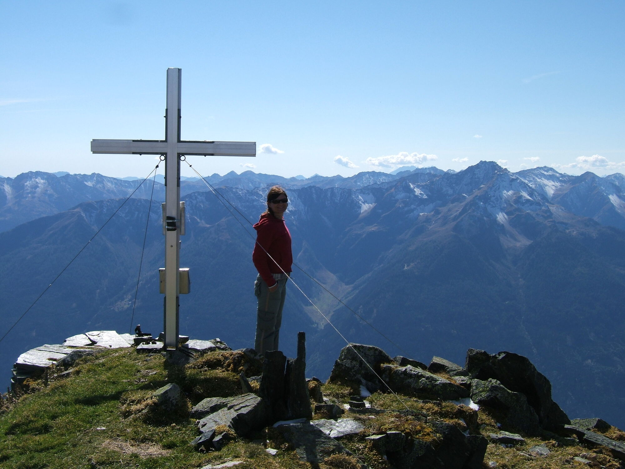
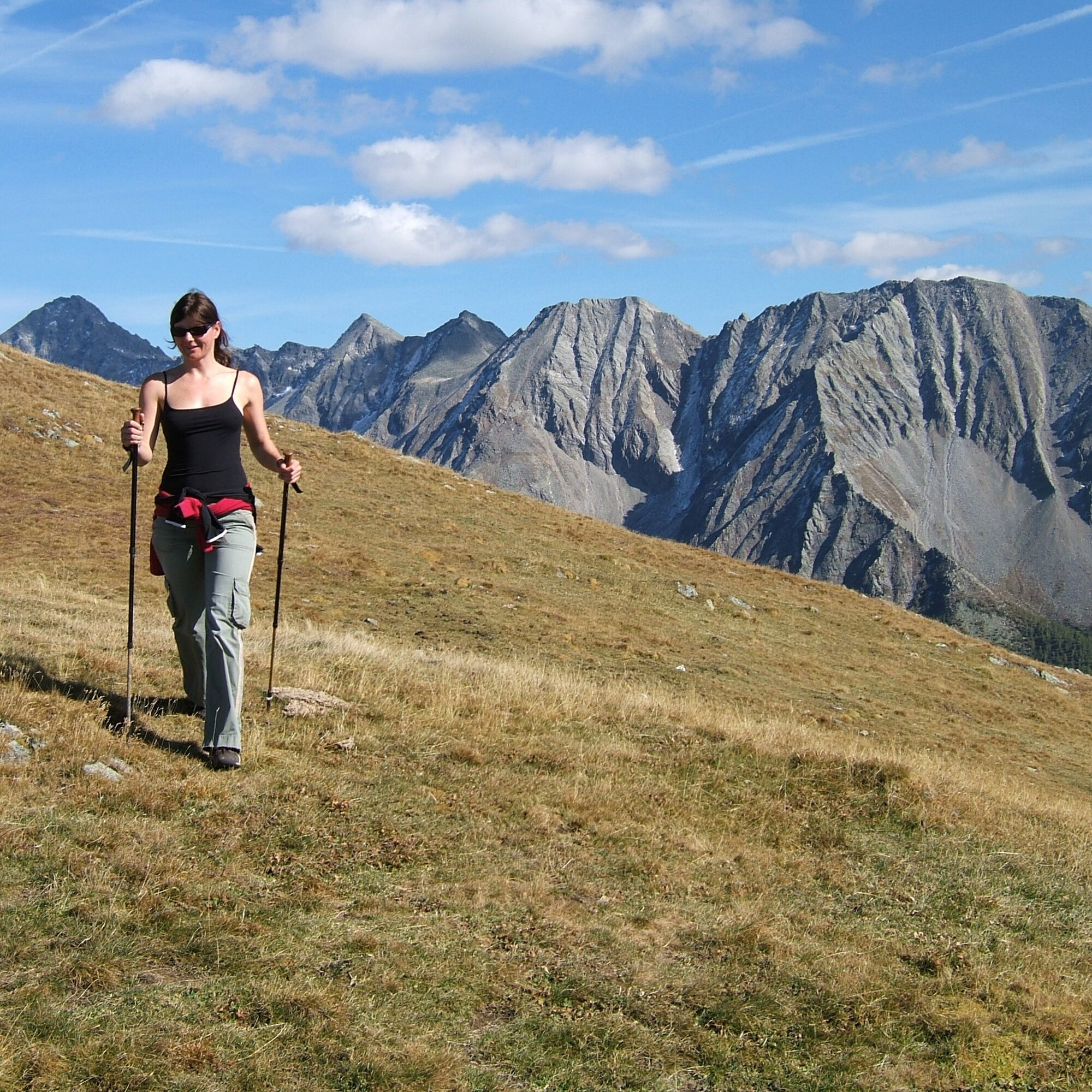
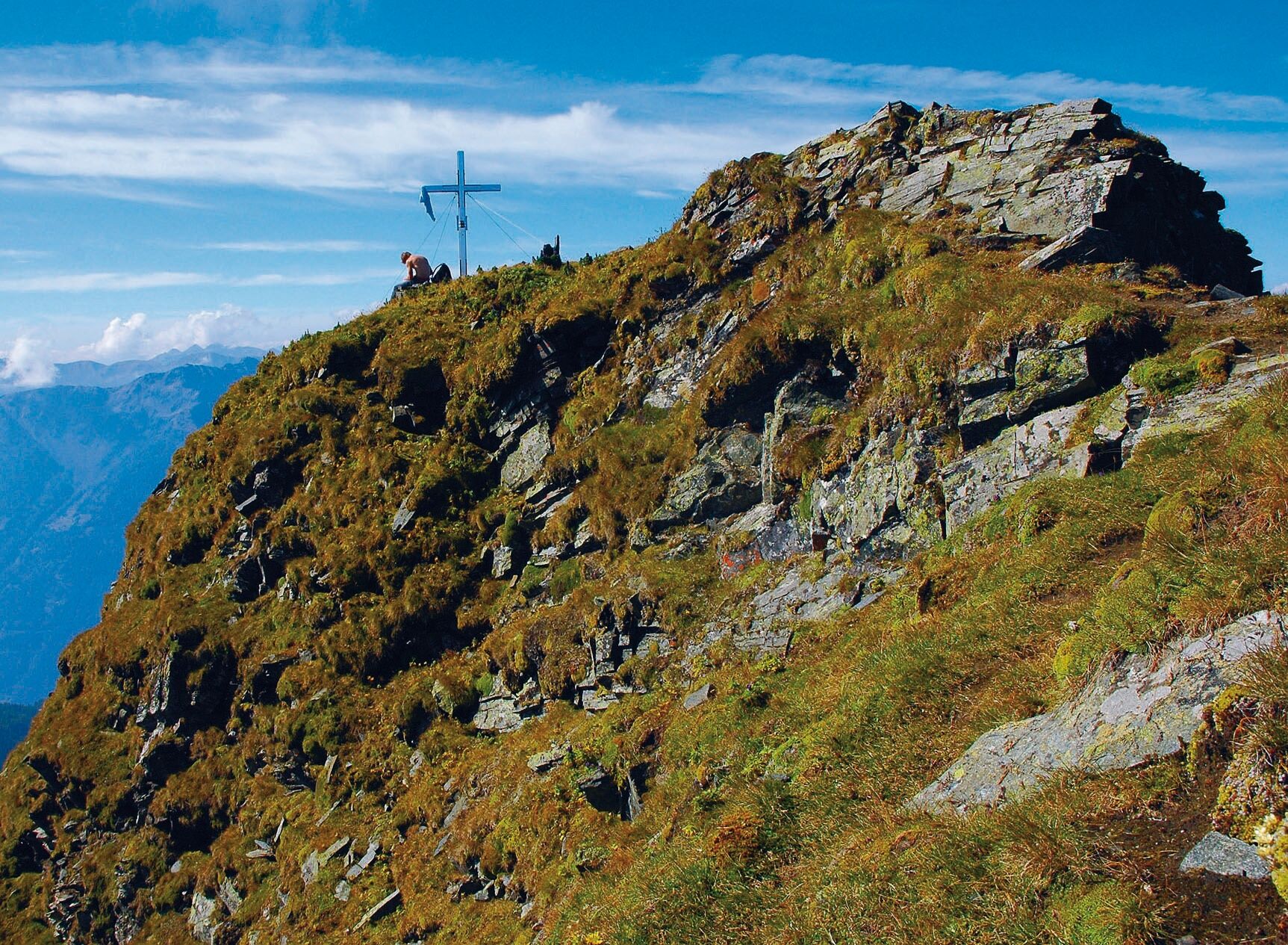
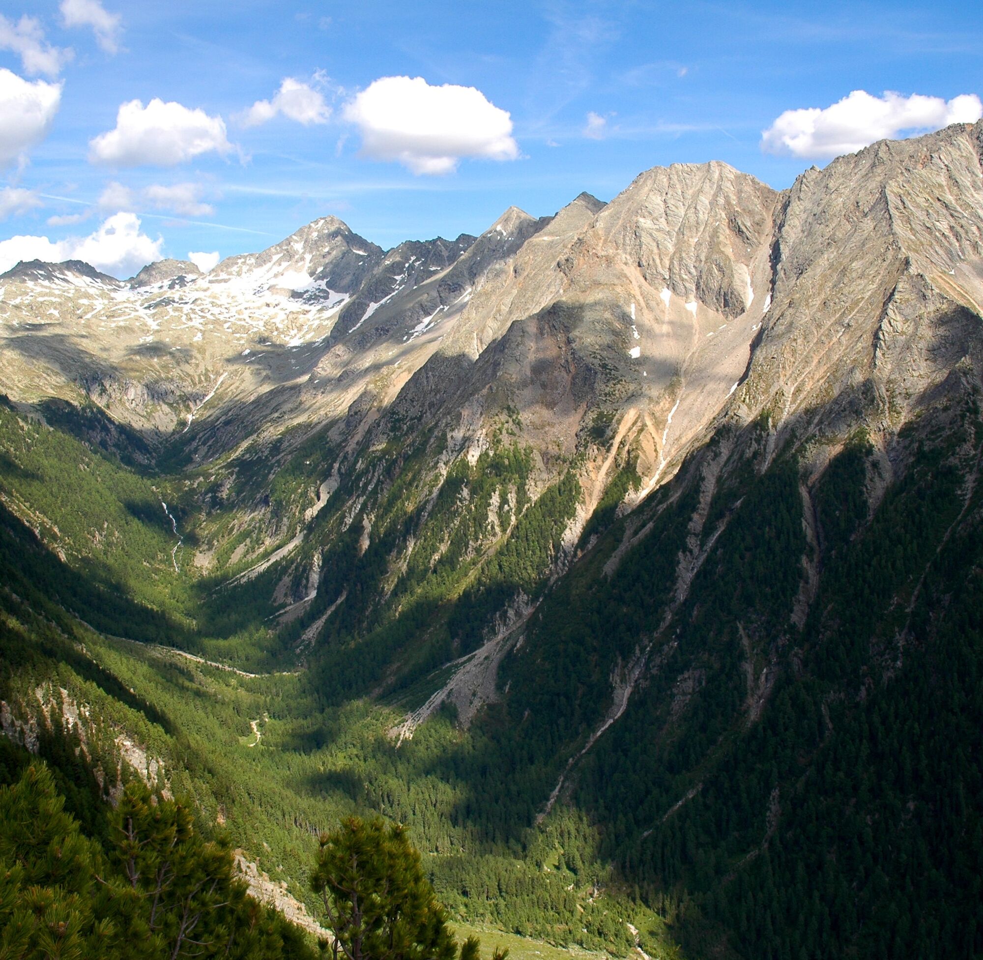
From the National Park Parking Lot at Pfaffenberg, the hike leads to the Kaponig bridge and further along a wide alpine path to the Stranigalm. Now on the marked path increasingly steeply up to the Zirmboden, where shortly before a hunting hut the path branches off to the right in a northerly direction to the Zagutnigspitz. The narrow path from here leads continuously steeply over the Kaponig alpine meadows, crossing a striking erosion channel once, directly up to the Zagutnig summit (2,731 m).
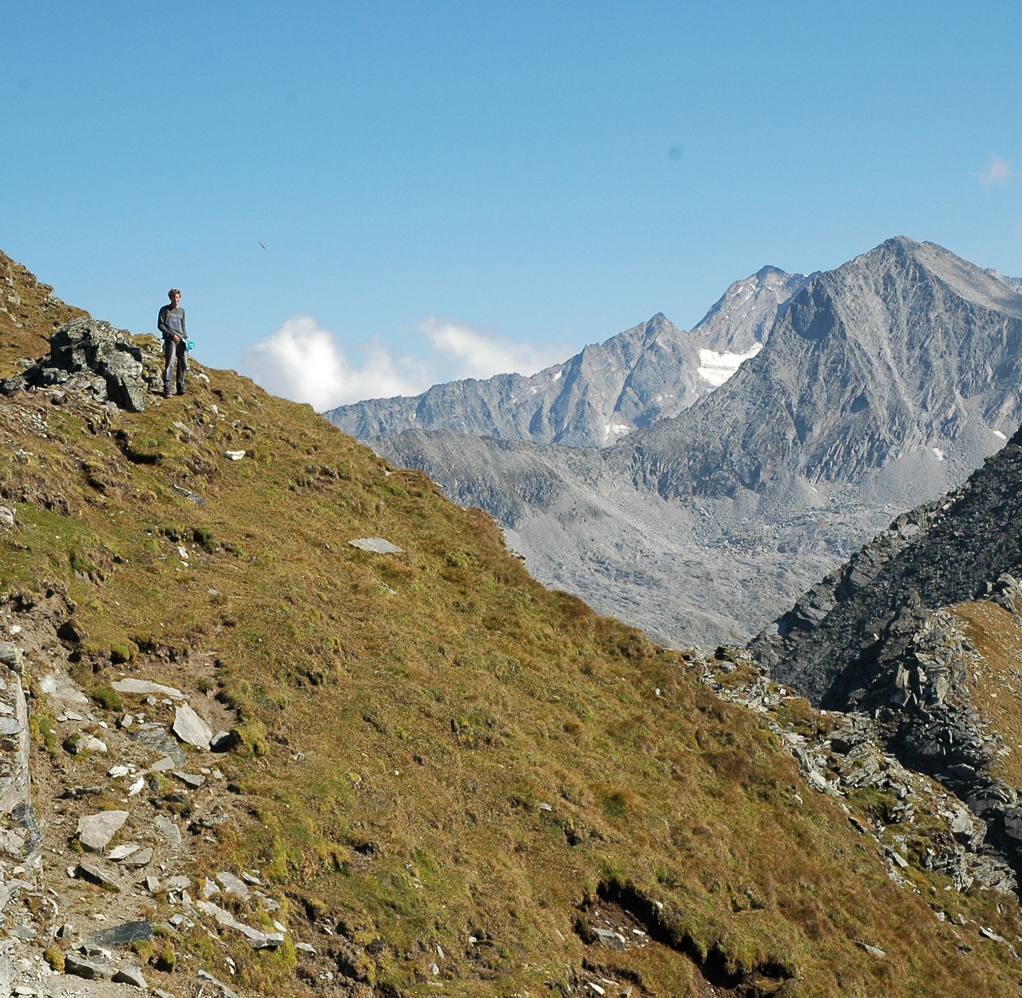
From the Zagutnigspitze you have a wonderful view of the Großglockner, the Ankogel and the “Tauern queen” – the Hochalmspitze as well as the Säuleck. The descent takes place on the same path.

Da
Da
In Obervellach turn opposite the tennis courts (signposted).
Through several switchbacks up to the Gatternighof, turn left here, first on asphalt, finally on a gravel road to the National Park Parking Lot Kaponigtal.
National Park Parking Lot Kaponigtal
“Seven Summits” – the Zagutnig is one of 7 selected mountain routes in the 7 Carinthian national park municipalities.
Spletne kamere s turneje
Pridobite vpogled
Vedno v živo na mestu z več kot 9.500 spletnimi kamerami. bergfex Kot uporabnik Pro si lahko zdaj ogledate ustrezne spletne kamere za številne izlete v aplikaciji izleti iz. Tako si lahko neposredno ogledate trenutne razmere.
Priljubljeni izleti v okolici
-
4.5
Groppenstein Gorge Obervellach
srednjaPohodništvo 2.99 km -
5.0
Bella Vista auf Hohe Leier
srednjaVia ferrata 15.6 km -
4.9
Wanderung zur Schwussner Hütte
svetlobaPohodništvo 8.07 km -
4.4
"Elendrunde" Kleinelend Valley - Zwischenelendscharte - Großelend Valley
srednjaPohodništvo 21.9 km -
4.8
Kölnbreinspeicher bis Osnabrücker Hütte
svetlobaPohodništvo 15.9 km -
5.0
Ankogelgruppe - Säuleck 3.086m - Detmolder Weg mit zu viel Schnee
težkoVisokogorska tura 23 km -
4.0
Raggaschlucht
srednjaPohodništvo 3.44 km -
4.0
Barbarossa Gorge near Mühldorf/Mölltal
svetlobaPohodništvo 2.74 km -
4.5
Arthur von Schmidhaus
srednjaPohodništvo 6.36 km -
4.0
Ankogel
Pohodništvo 3.40 km
Pohodništvo in sledenje


Ne zamudite ponudb in navdiha za naslednje počitnice
Vaš e-poštni naslov je bil dodan na poštni seznam.





