






Säuleck

The Hohe Tauern offer at their eastern edge a mighty triad: in a row with the Hochalmspitze and the Ankogel stands boldly and beautifully shaped the Säuleck. The fact that this high destination offers...
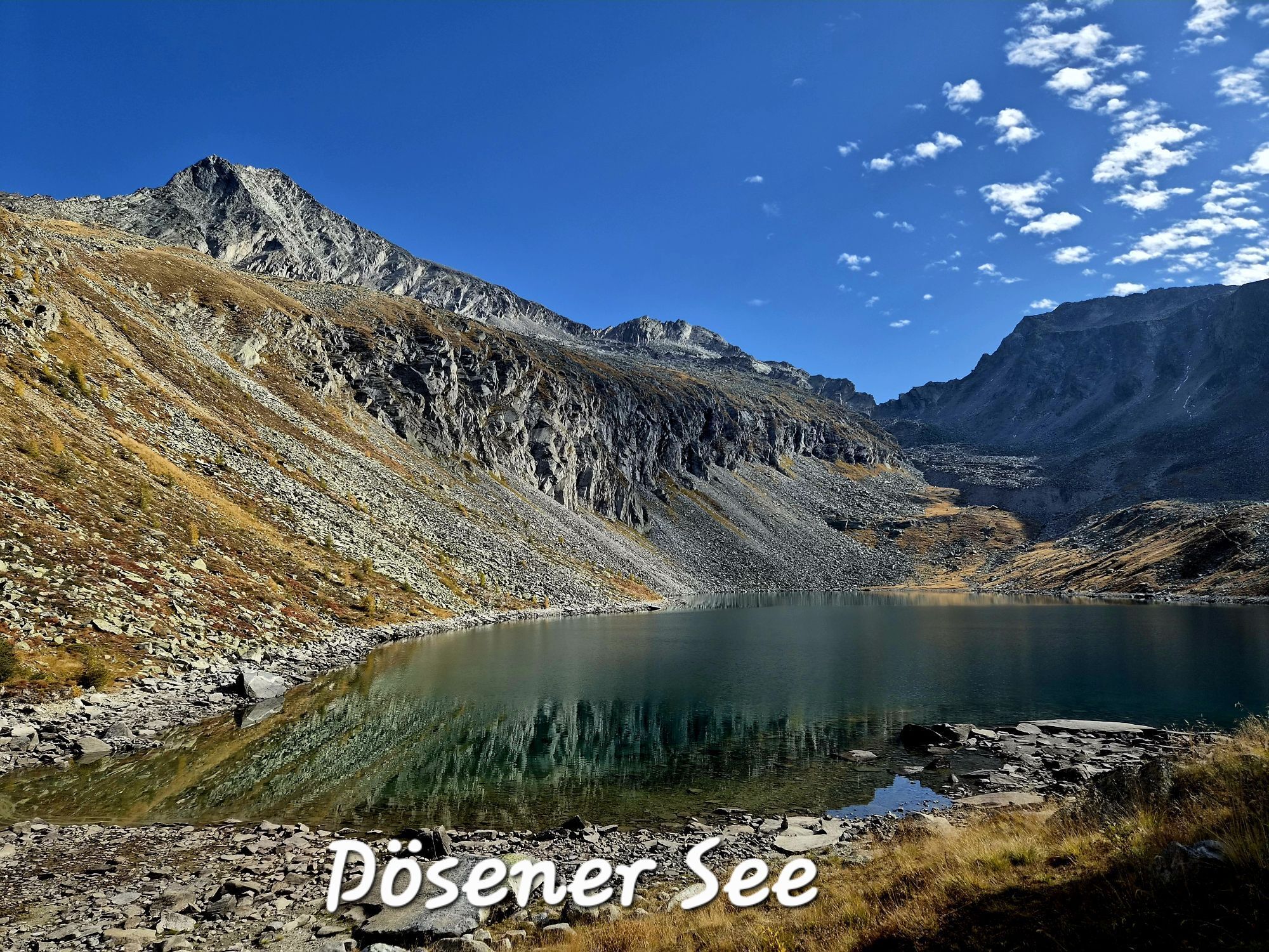
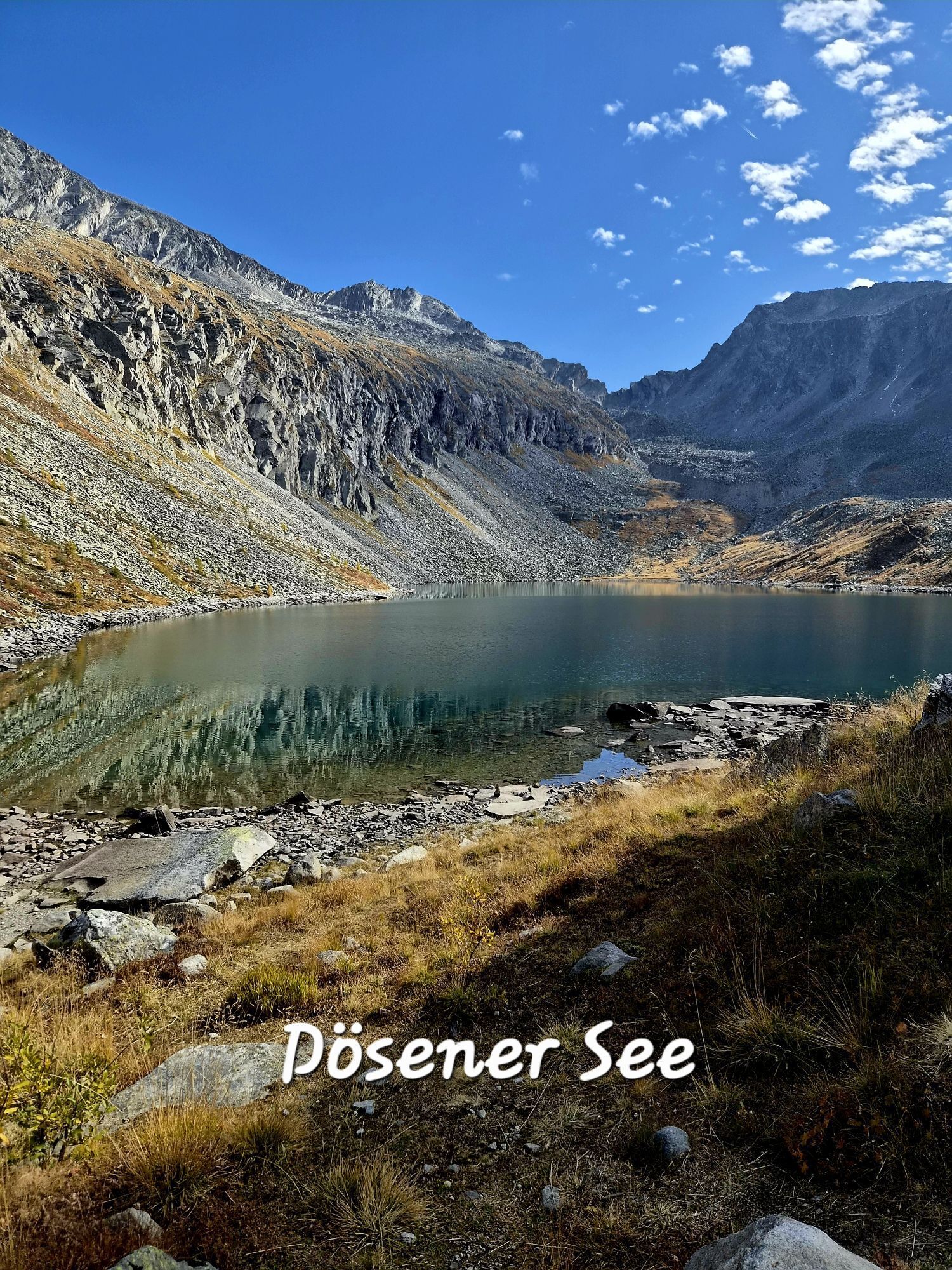
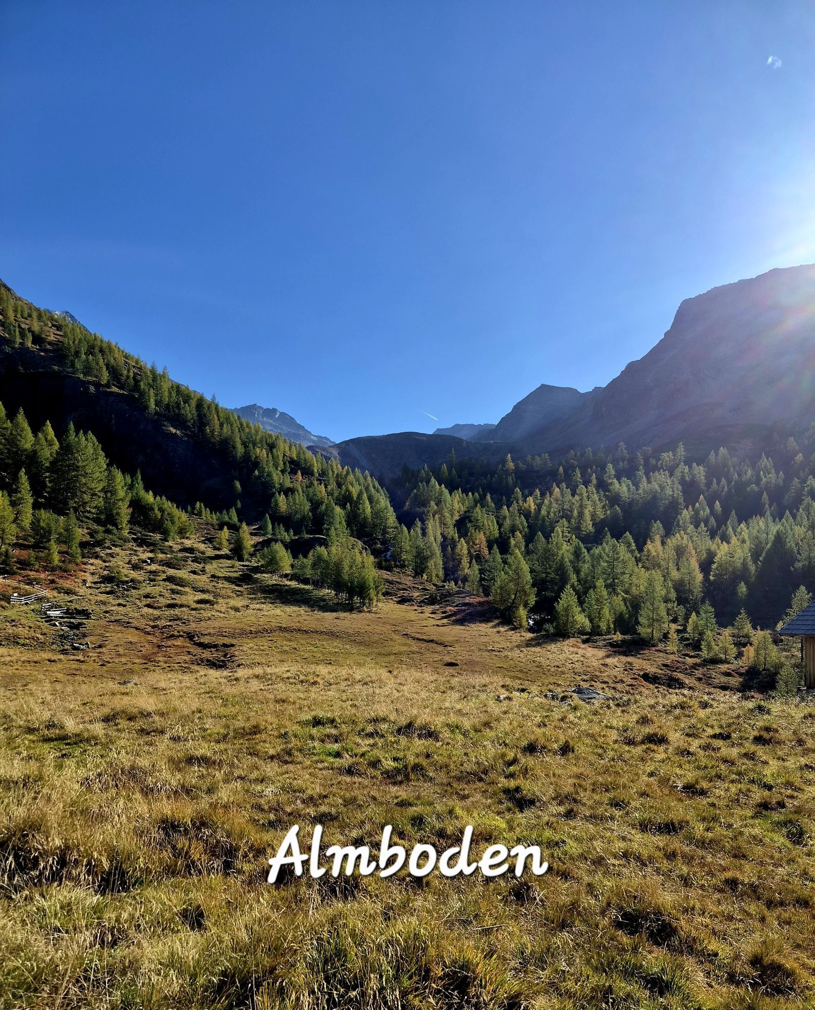
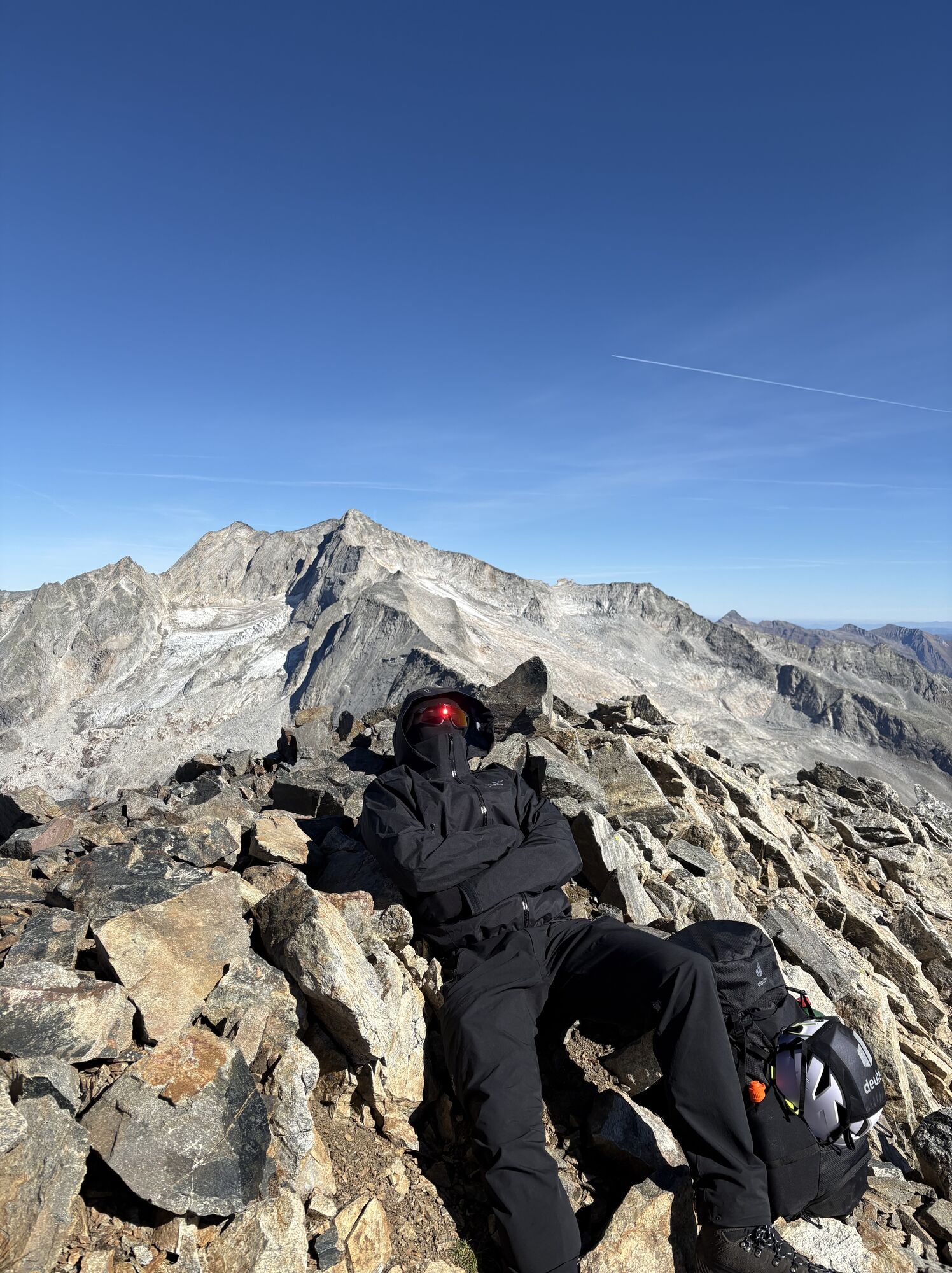
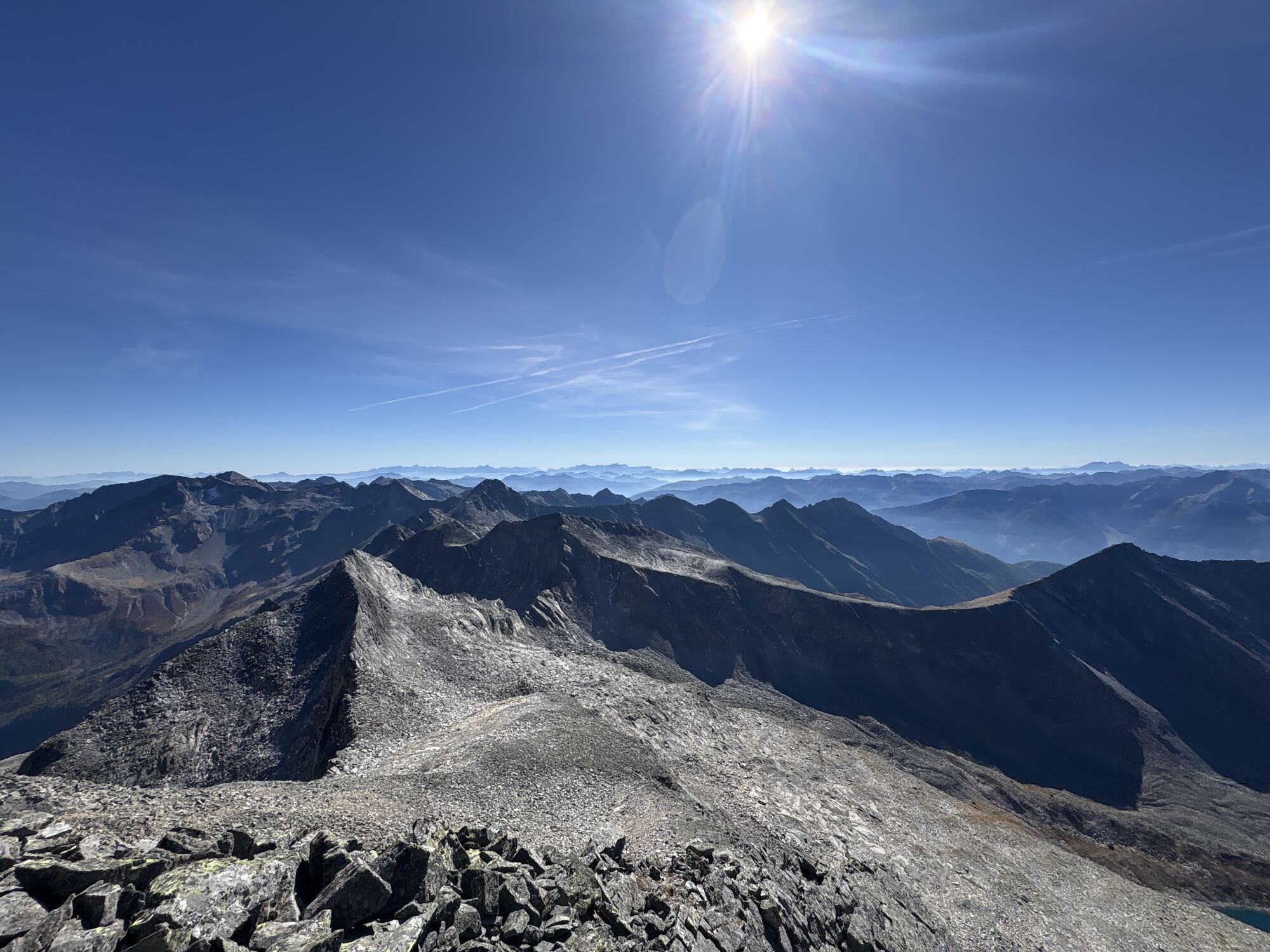
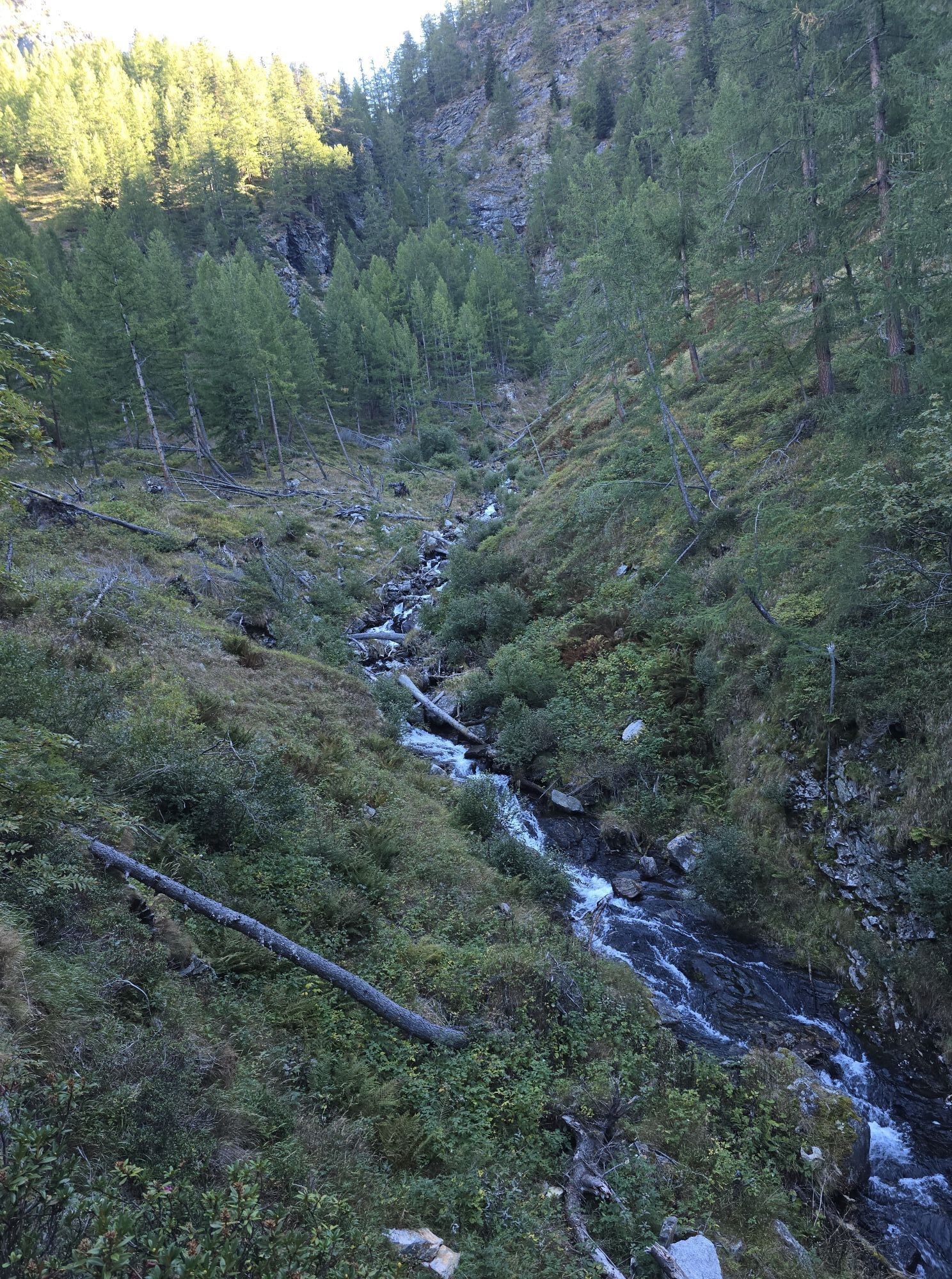
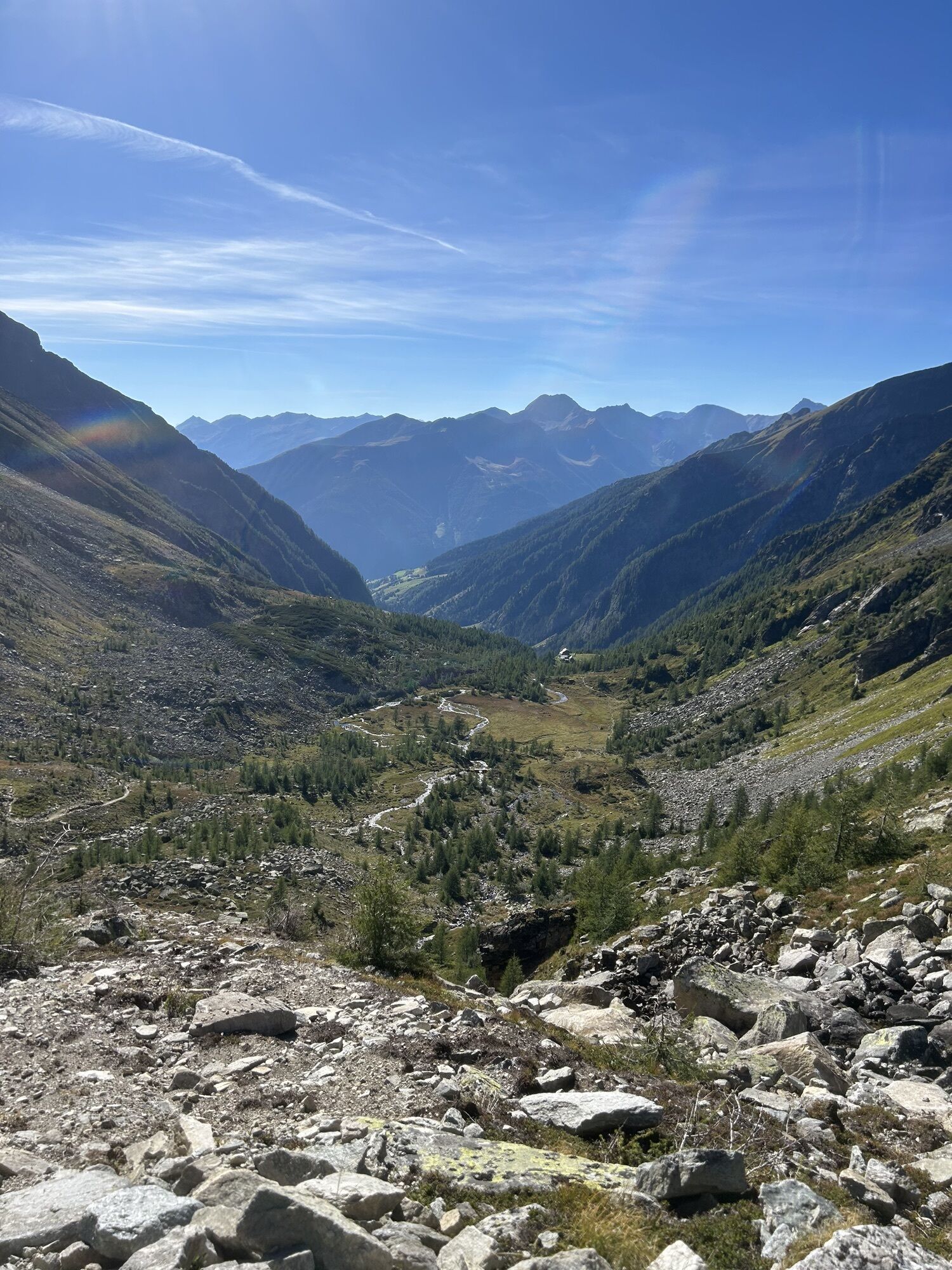
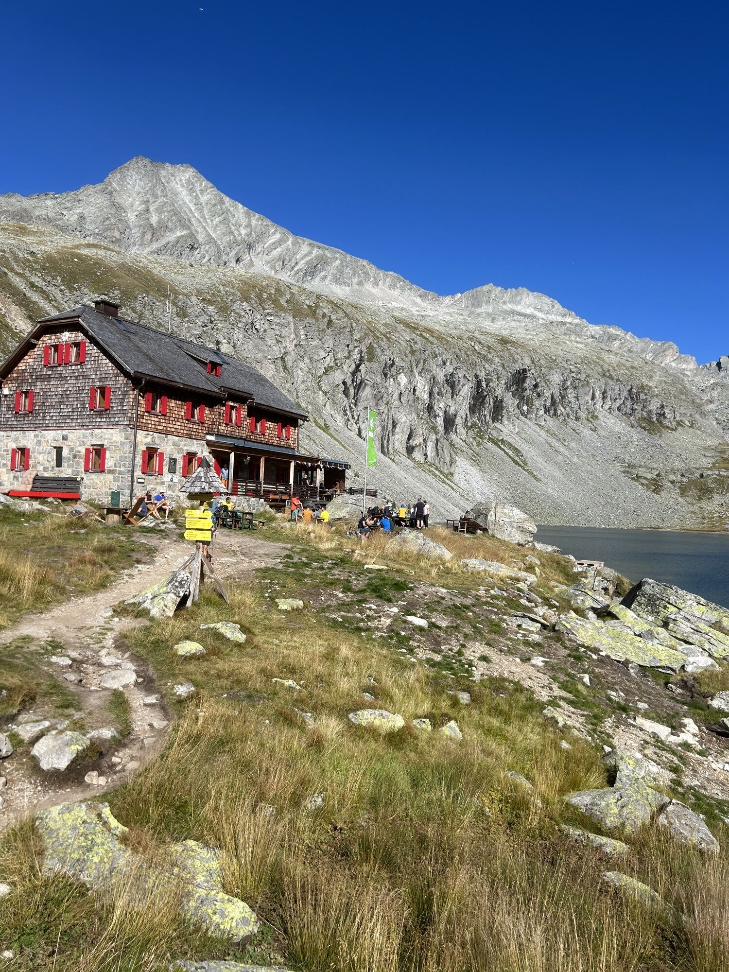
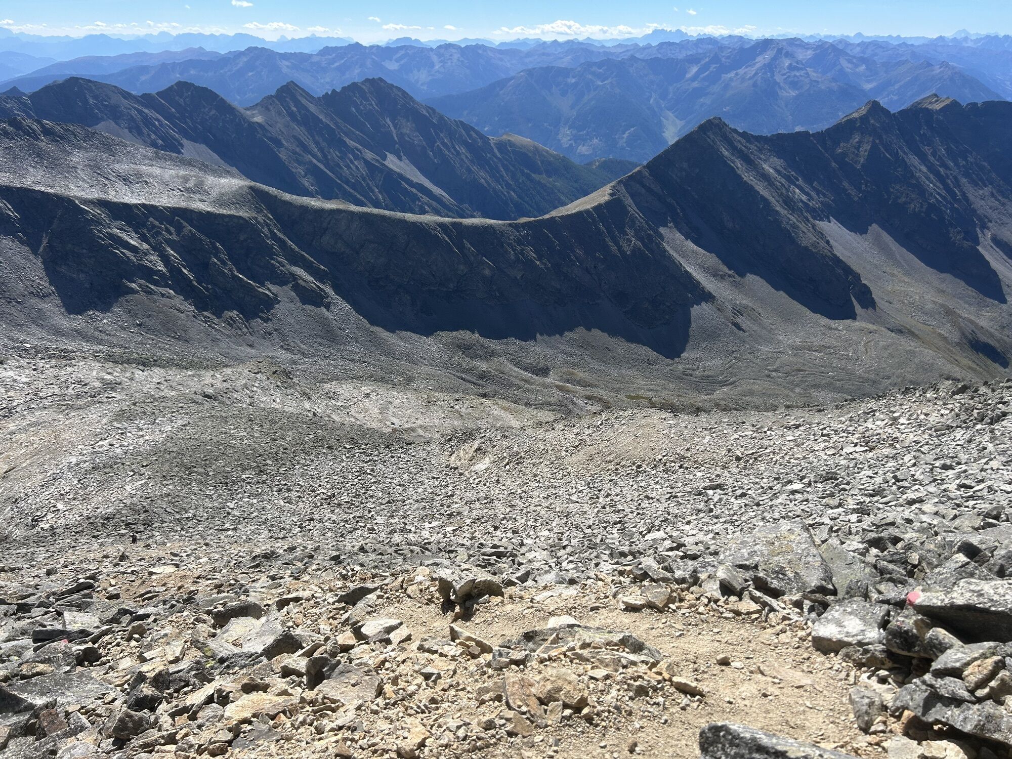
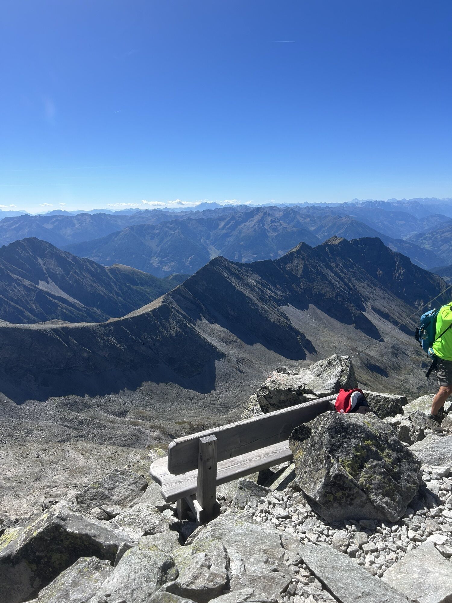
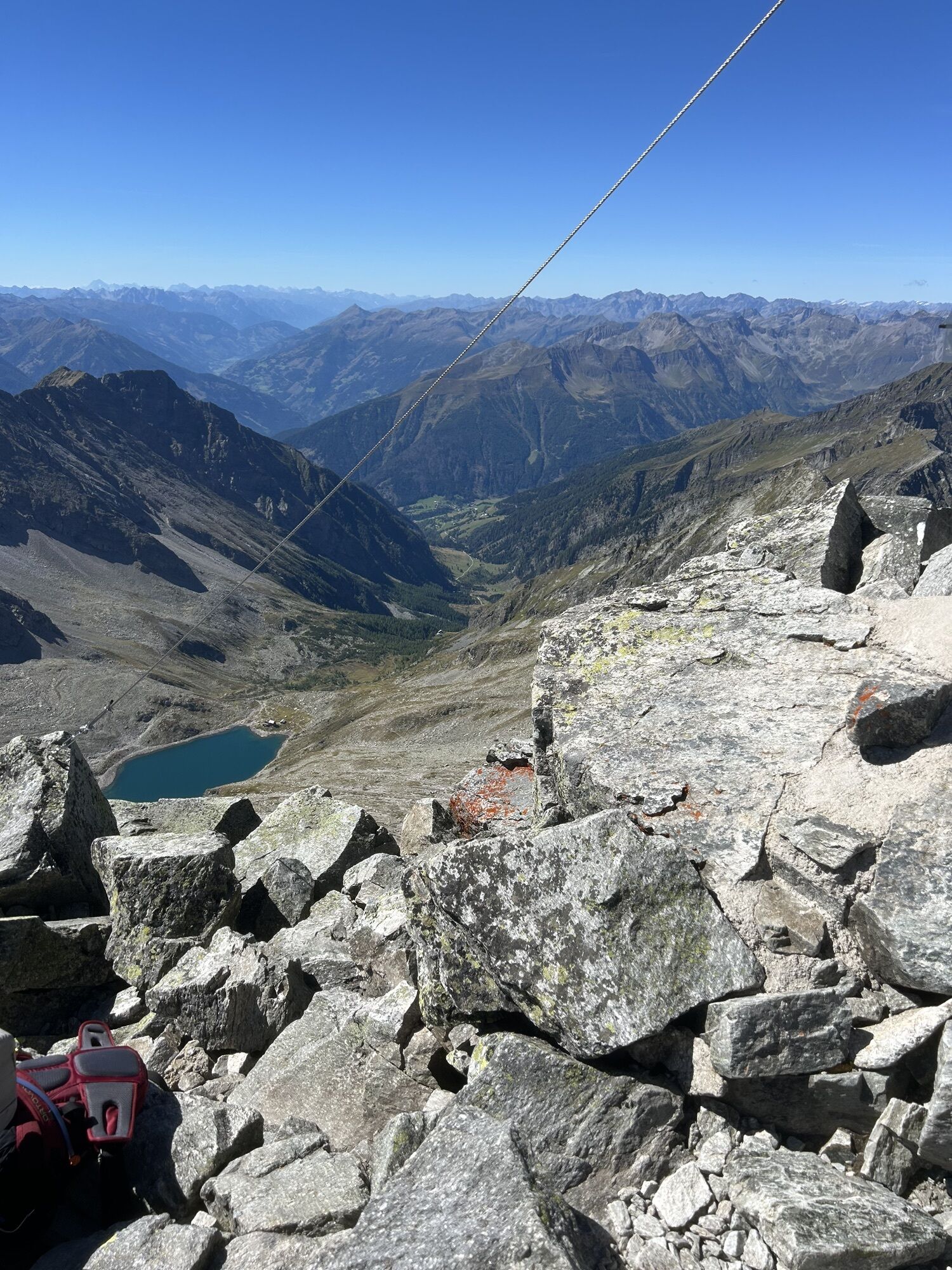
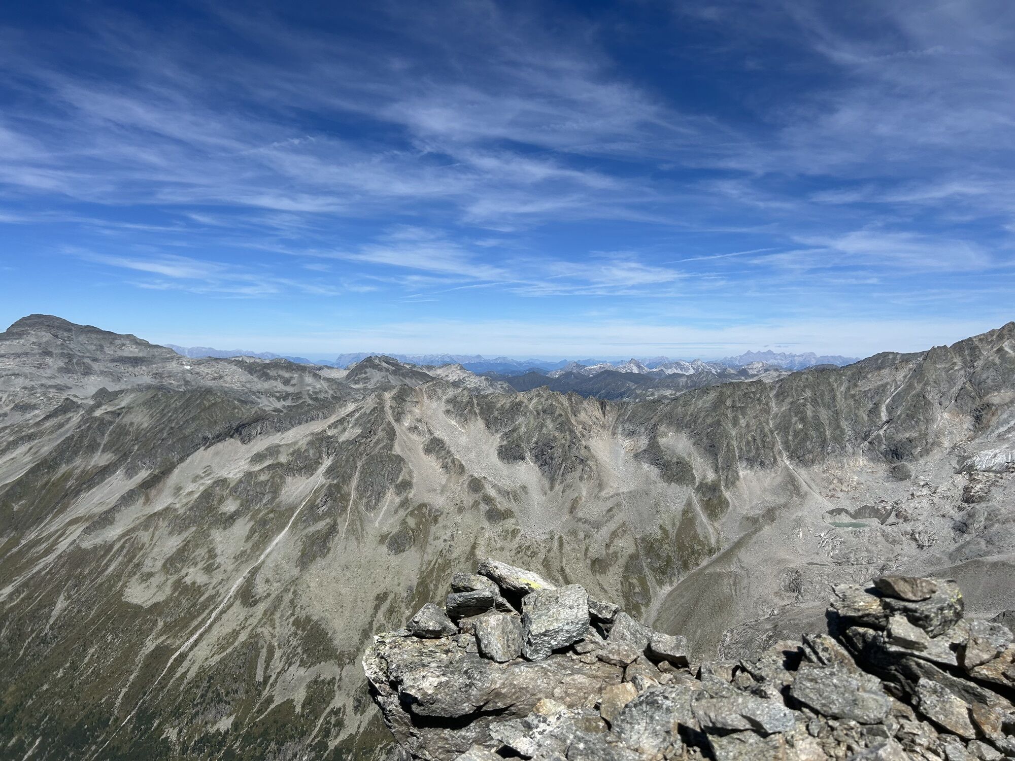
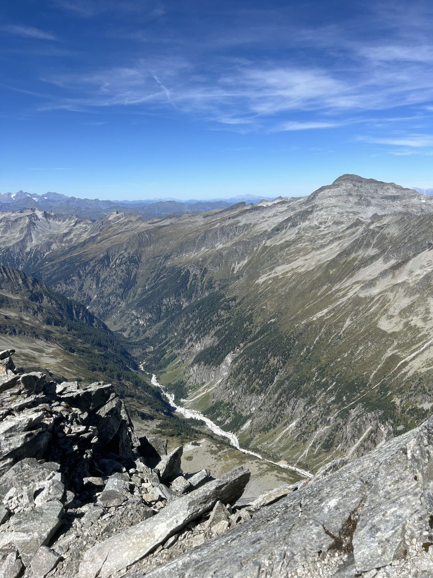
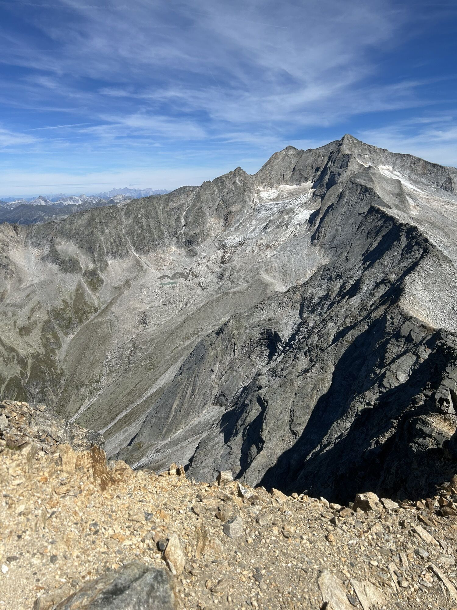
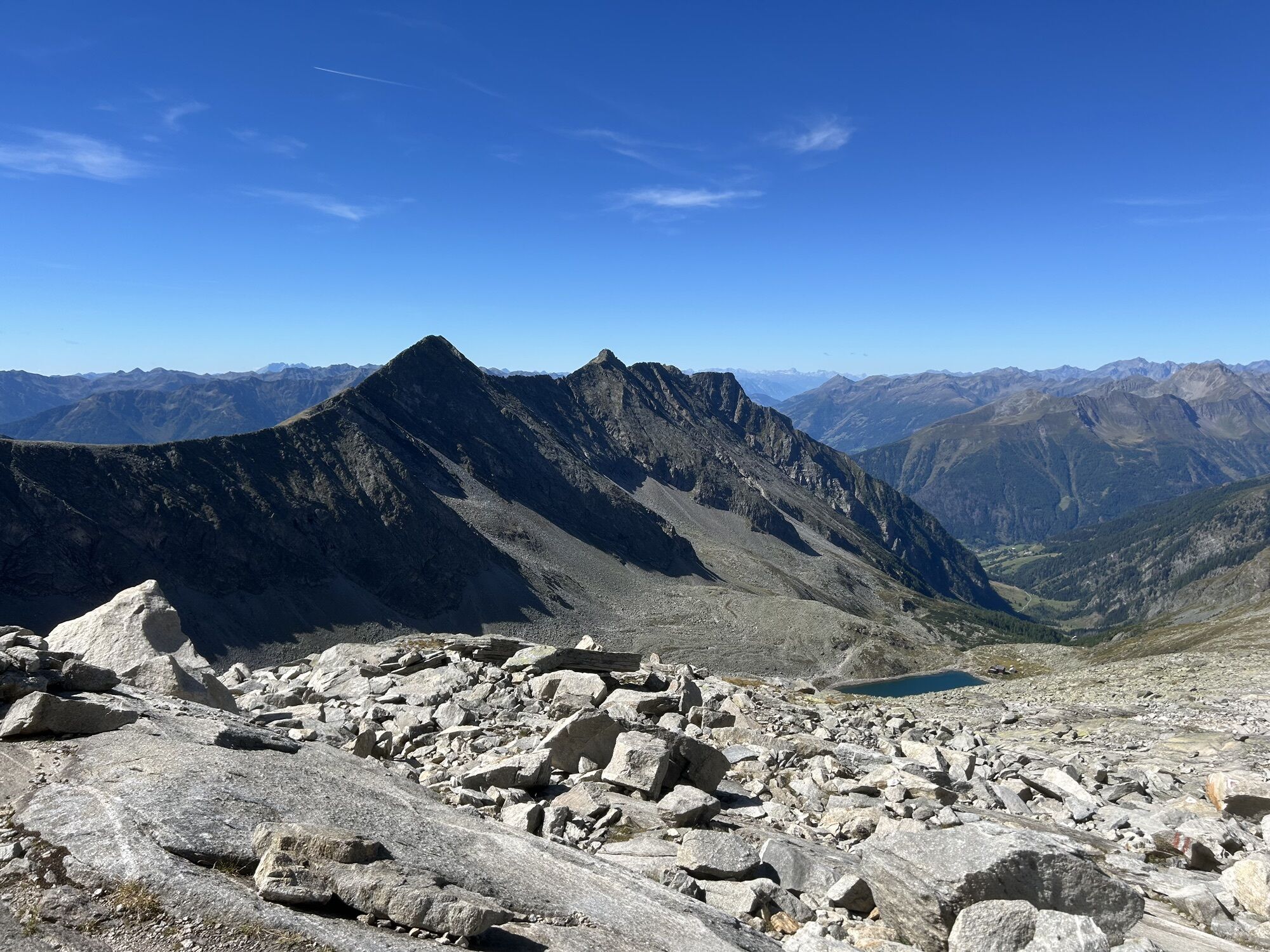
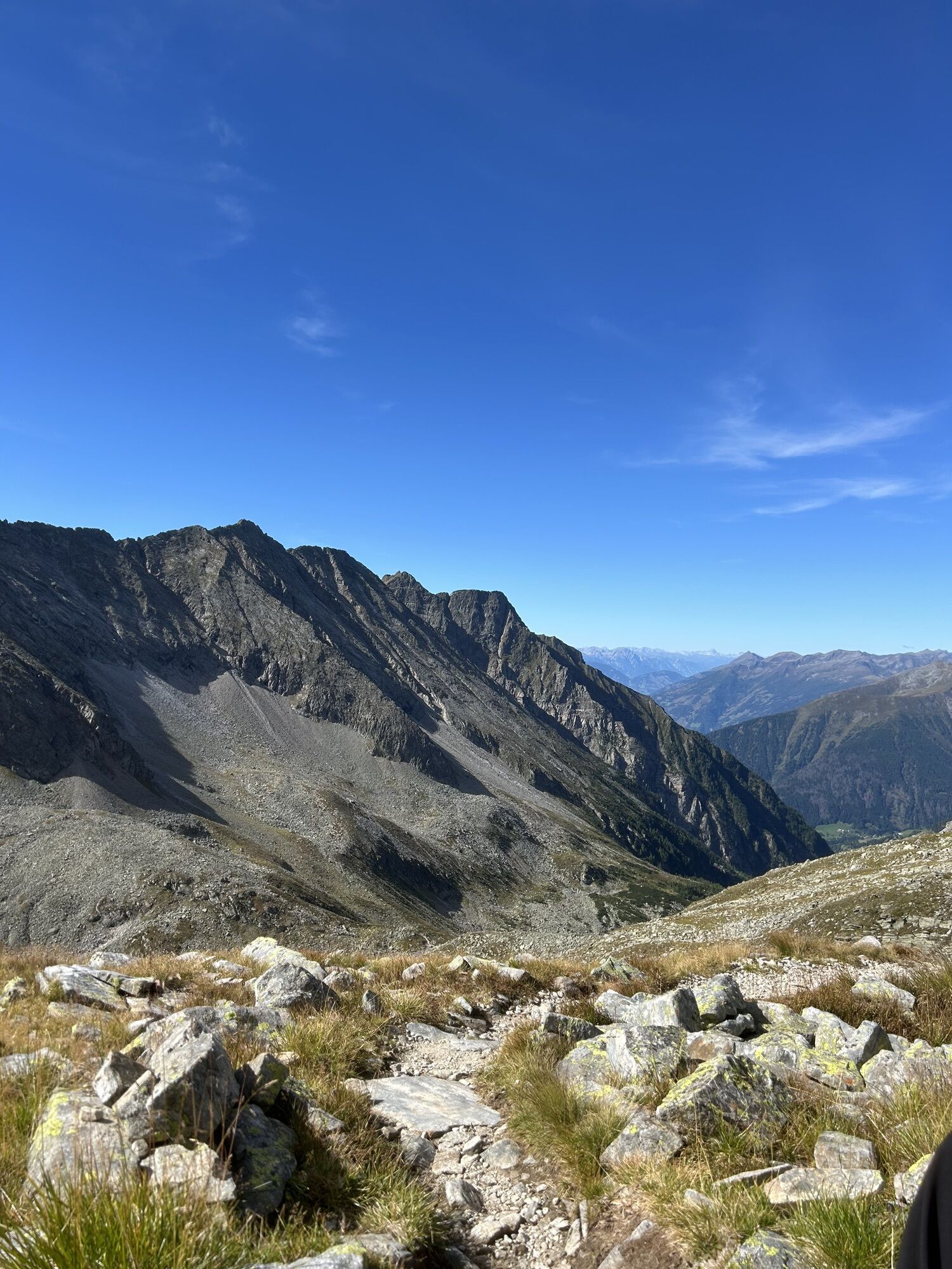
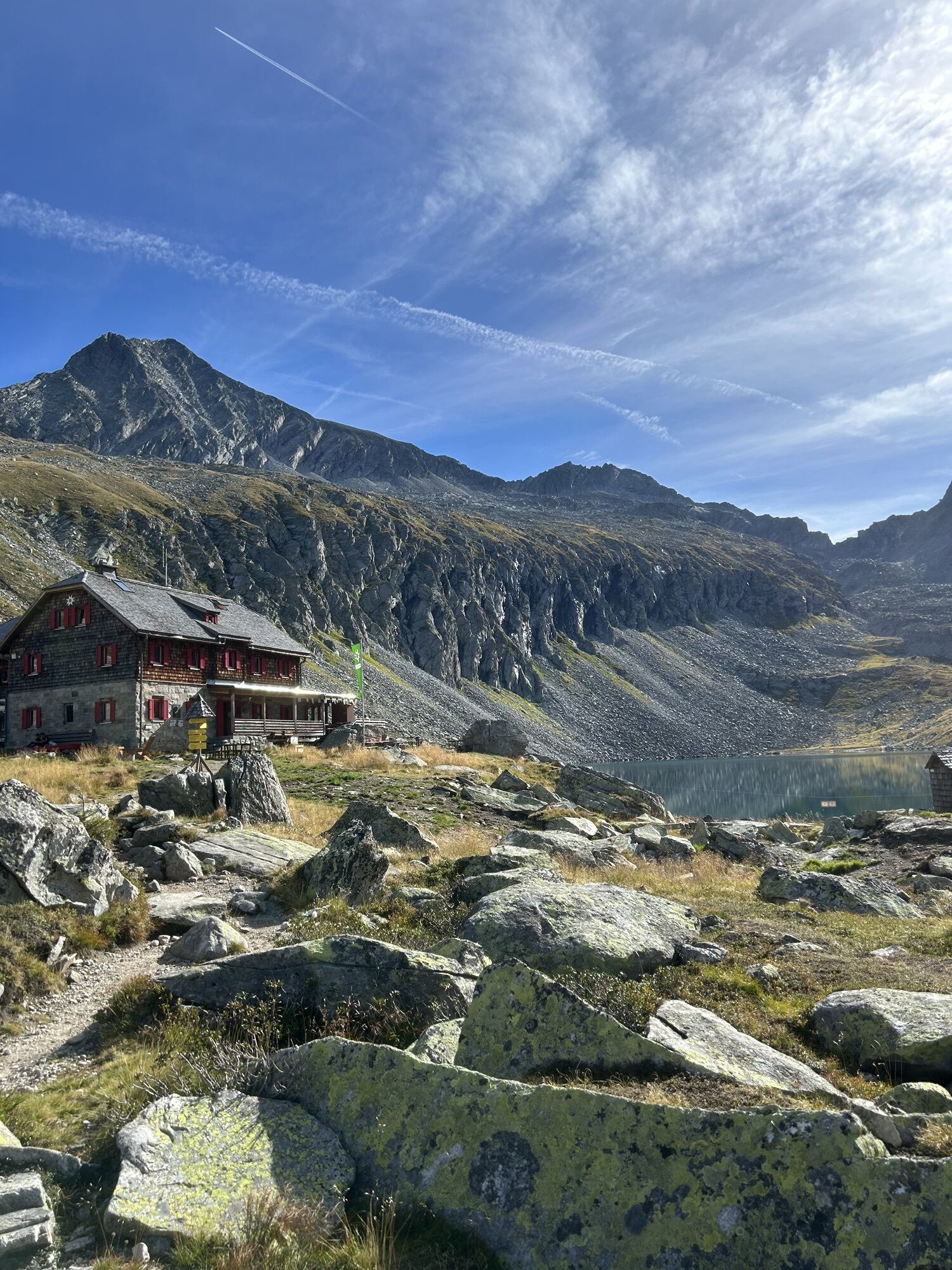
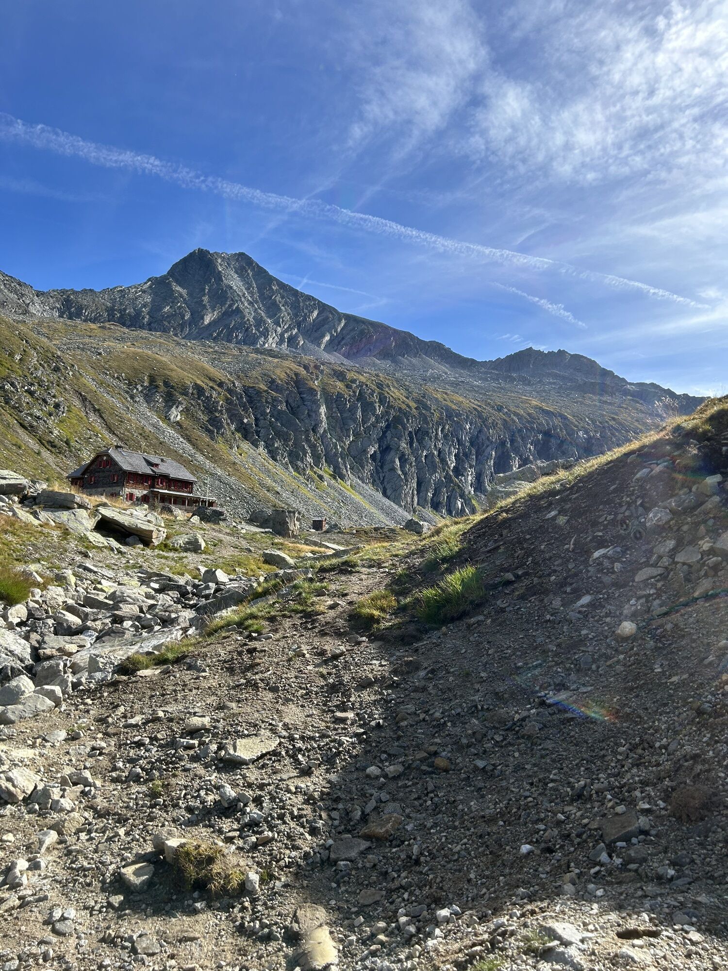
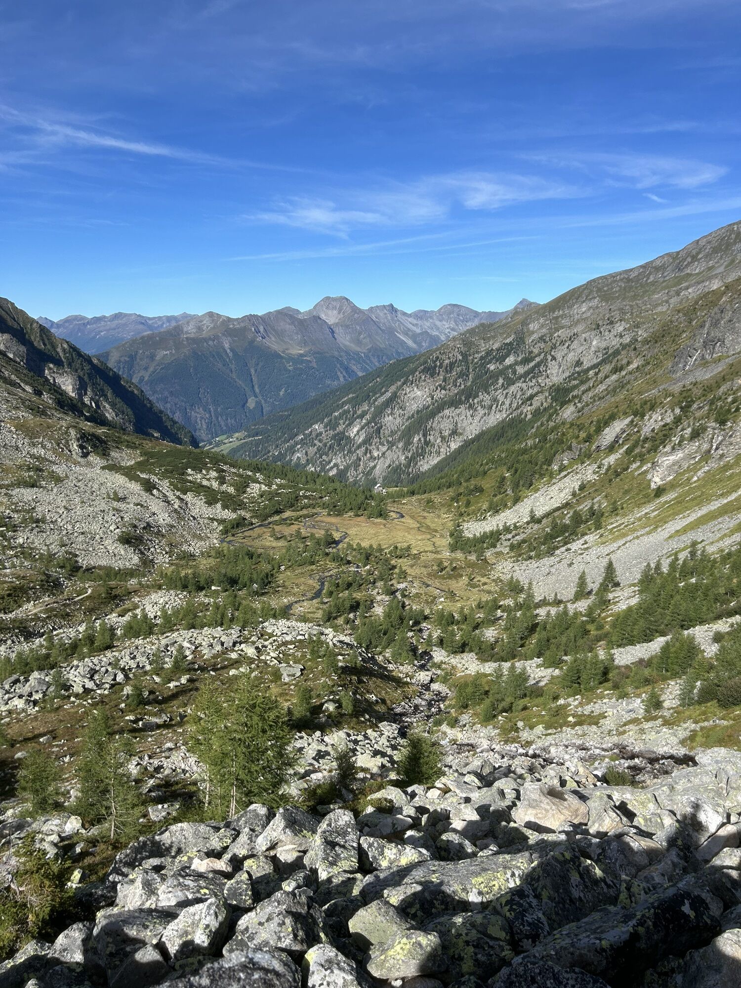
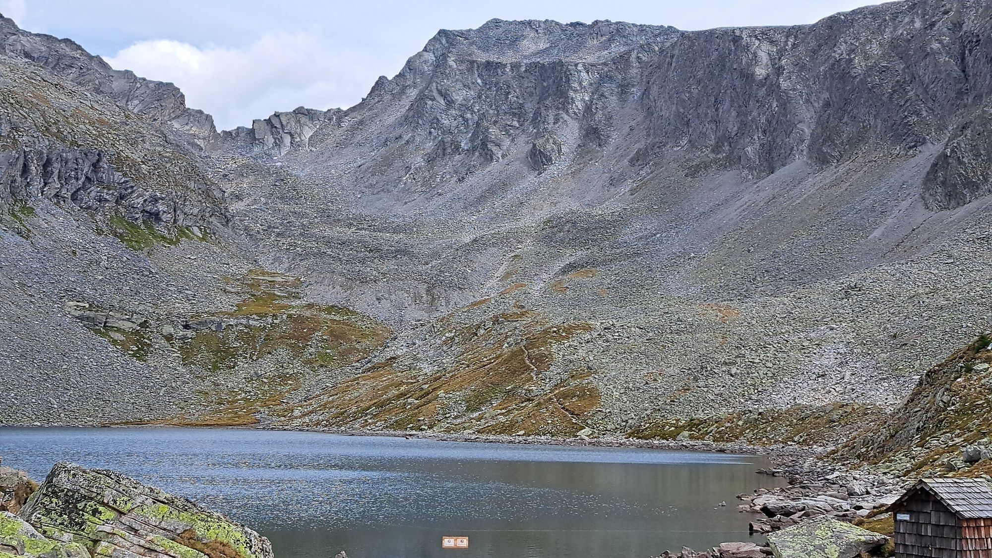
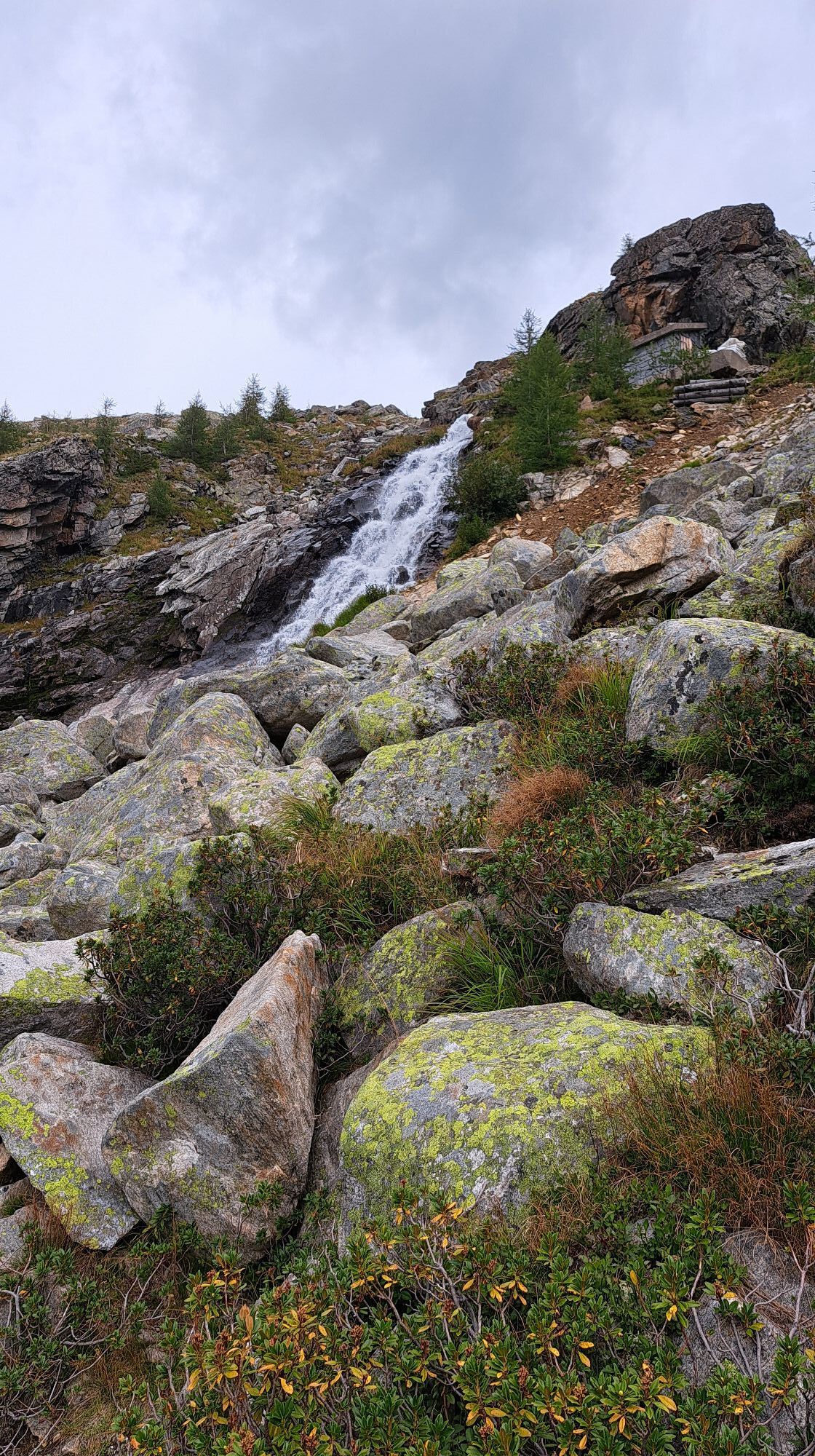
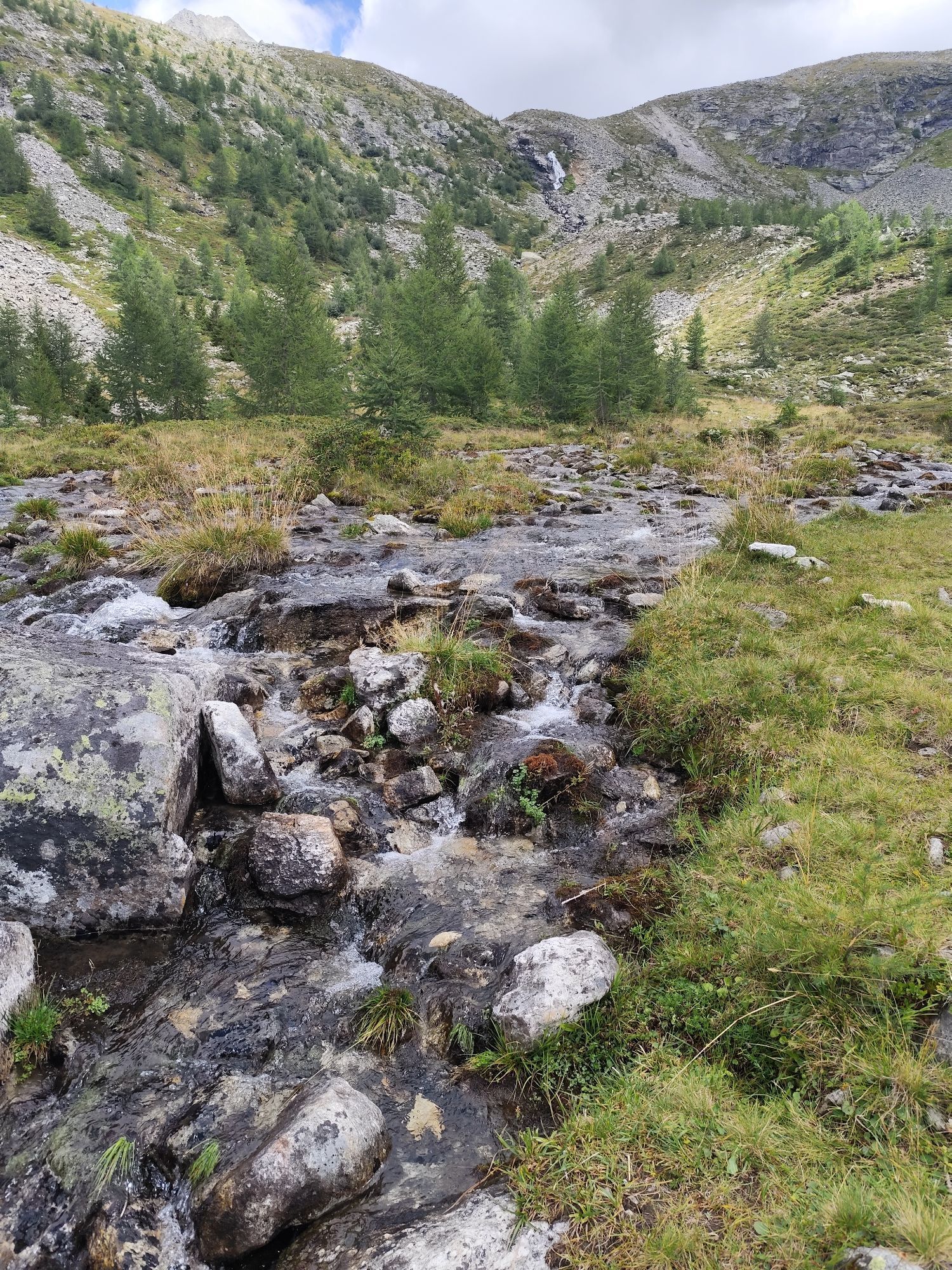
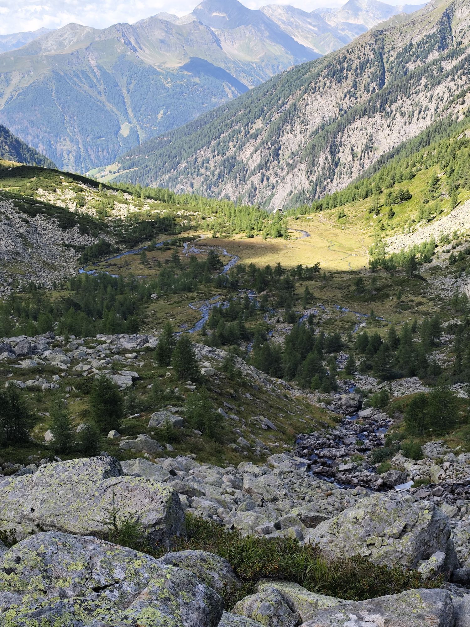
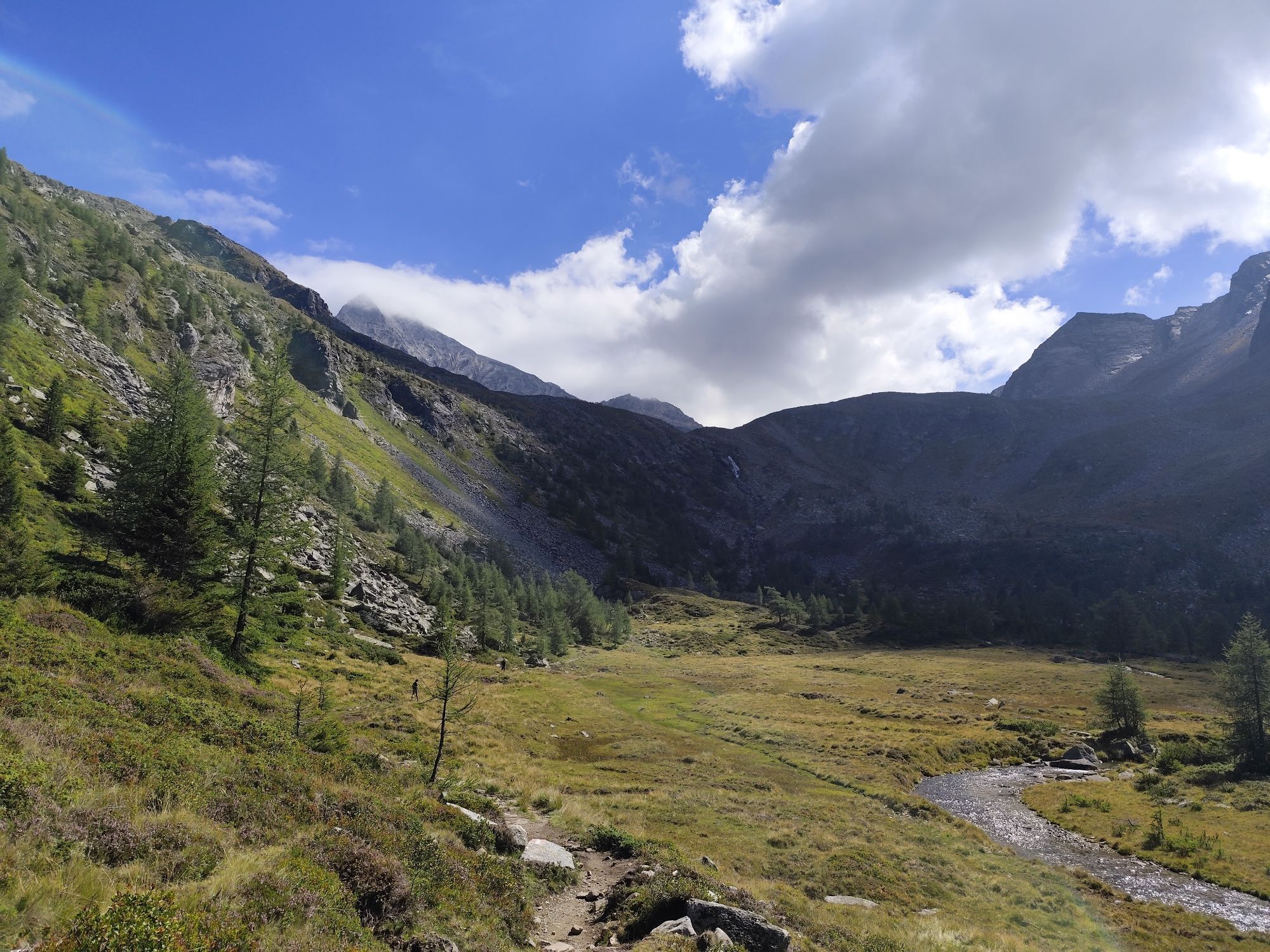
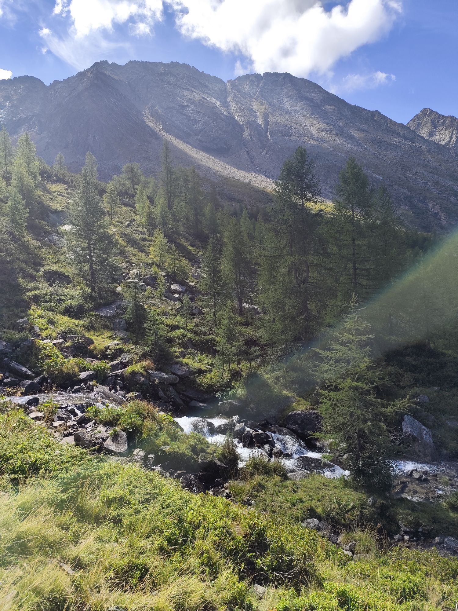
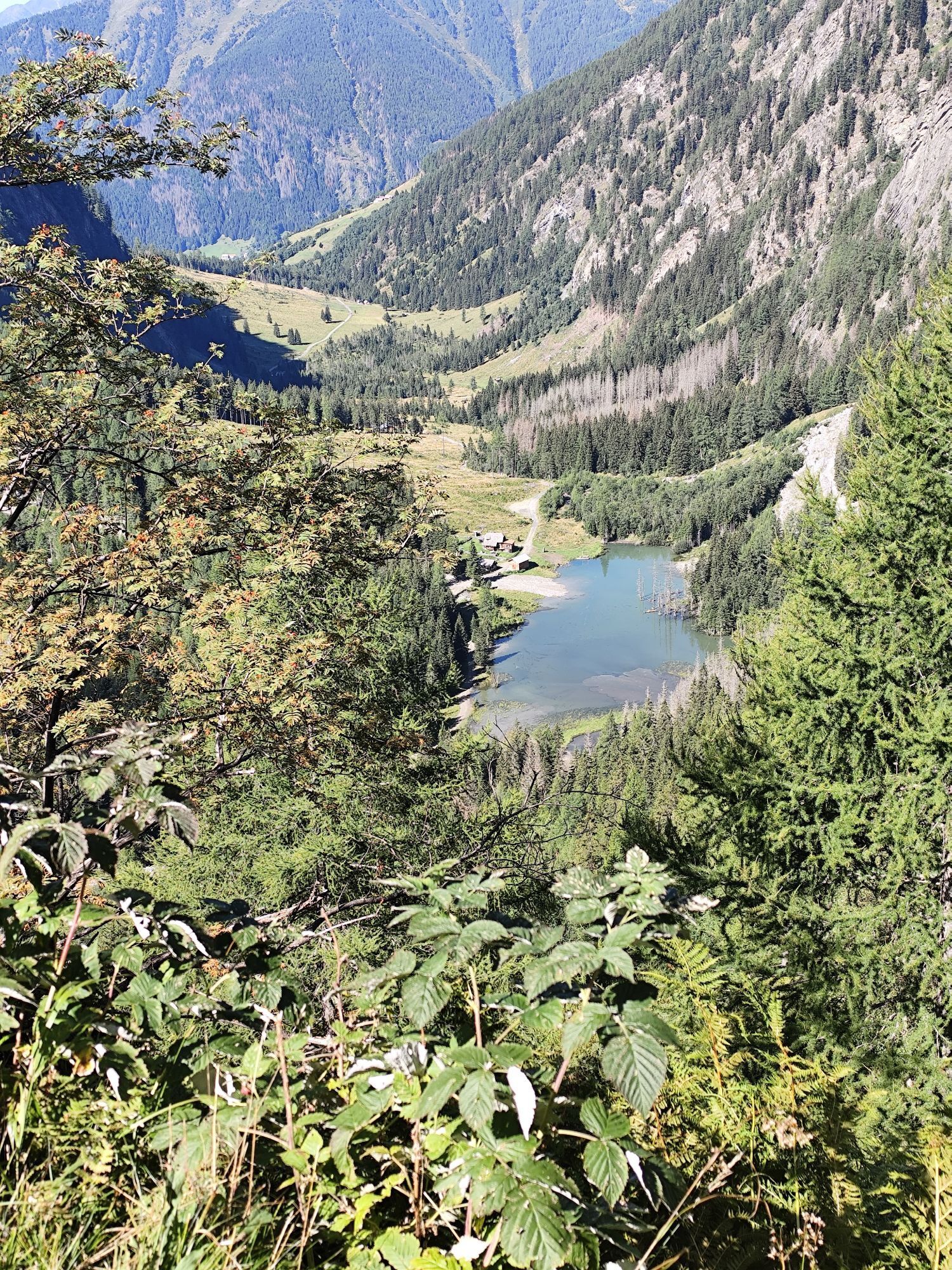
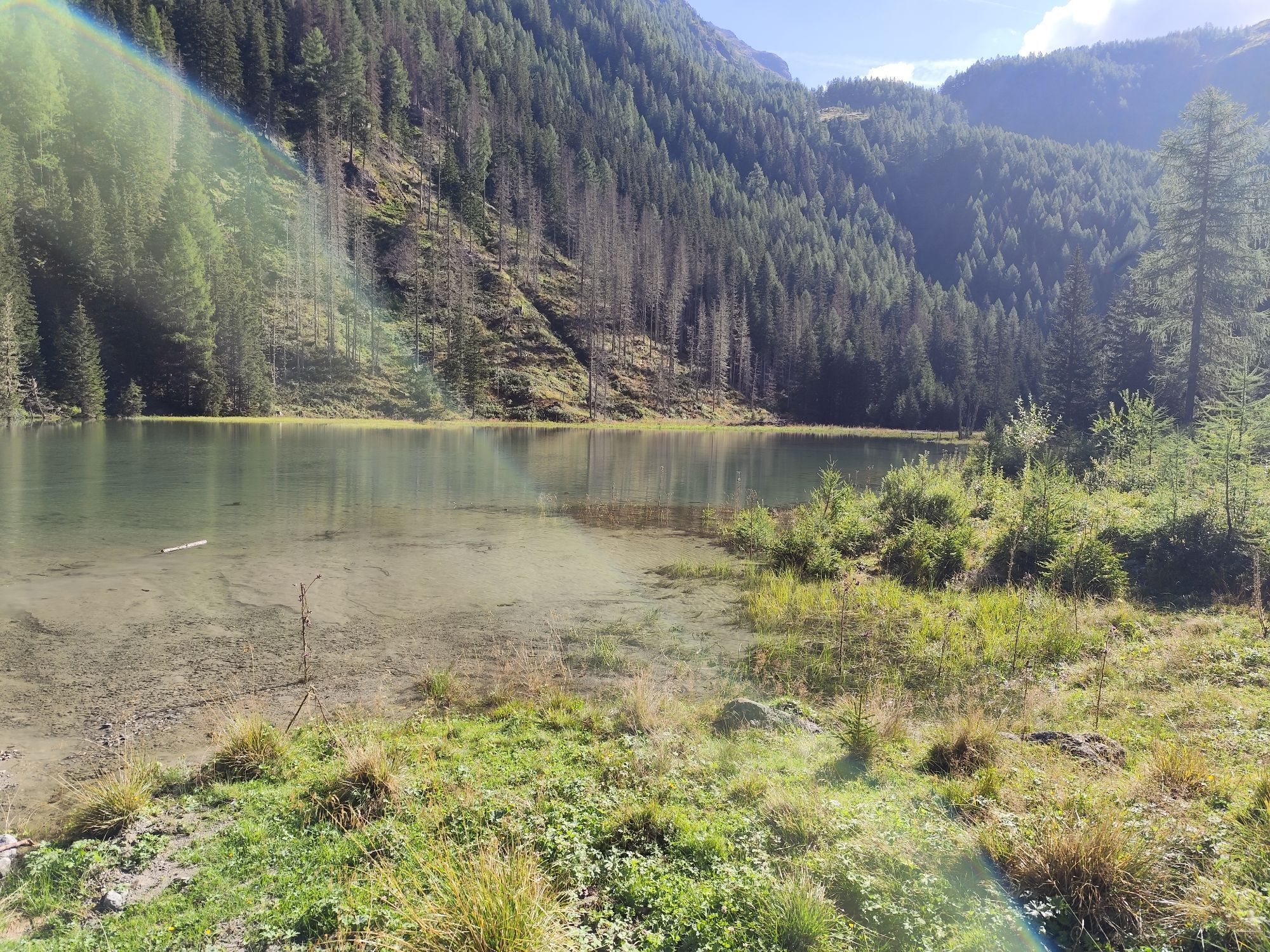
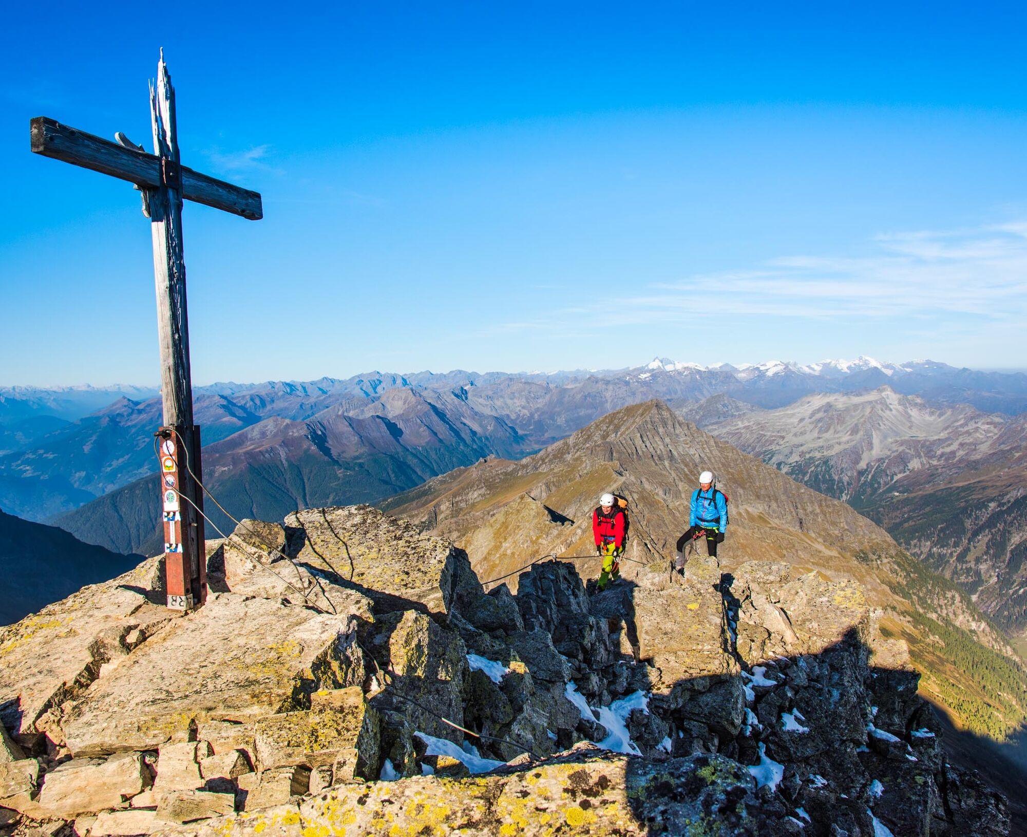
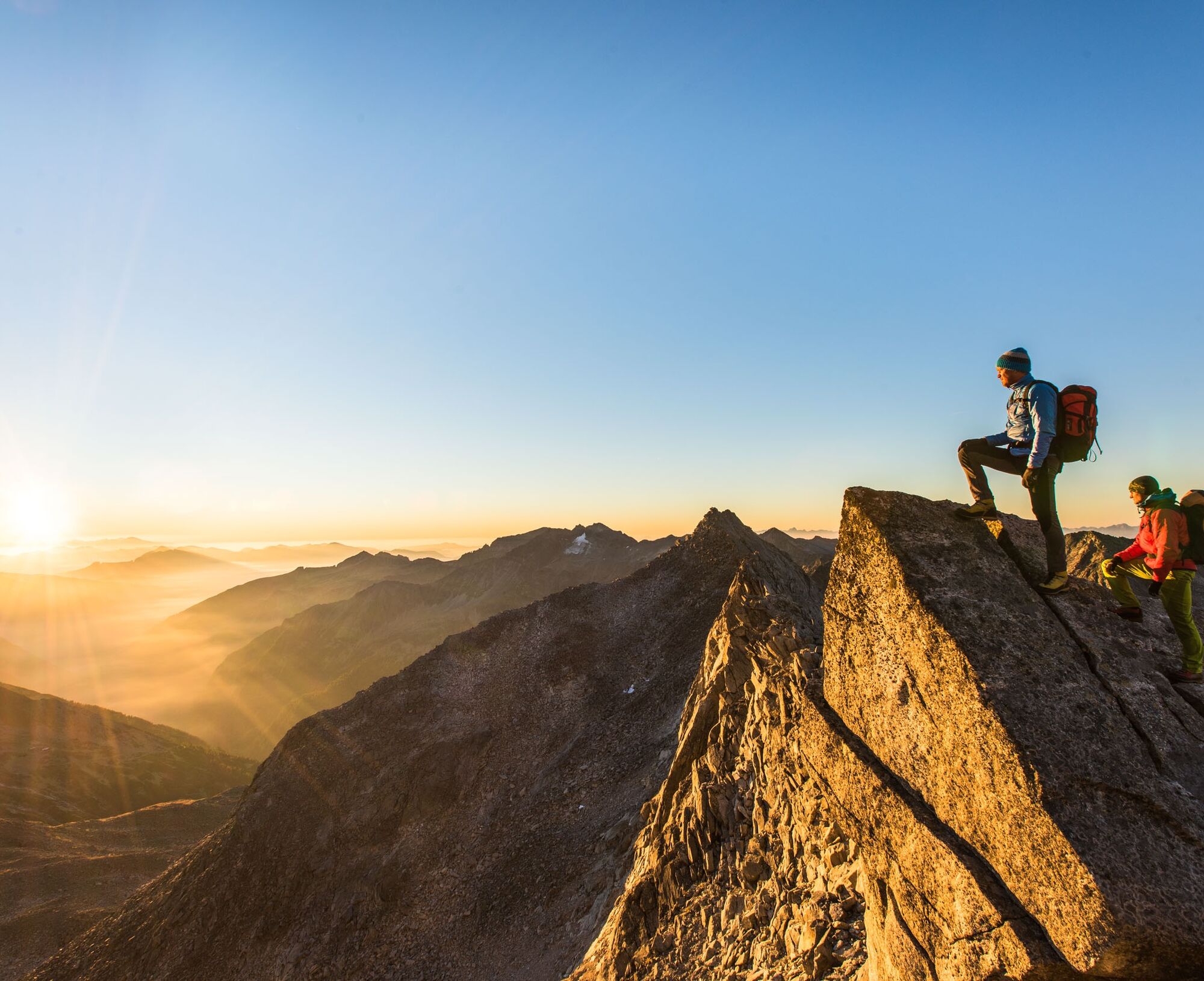
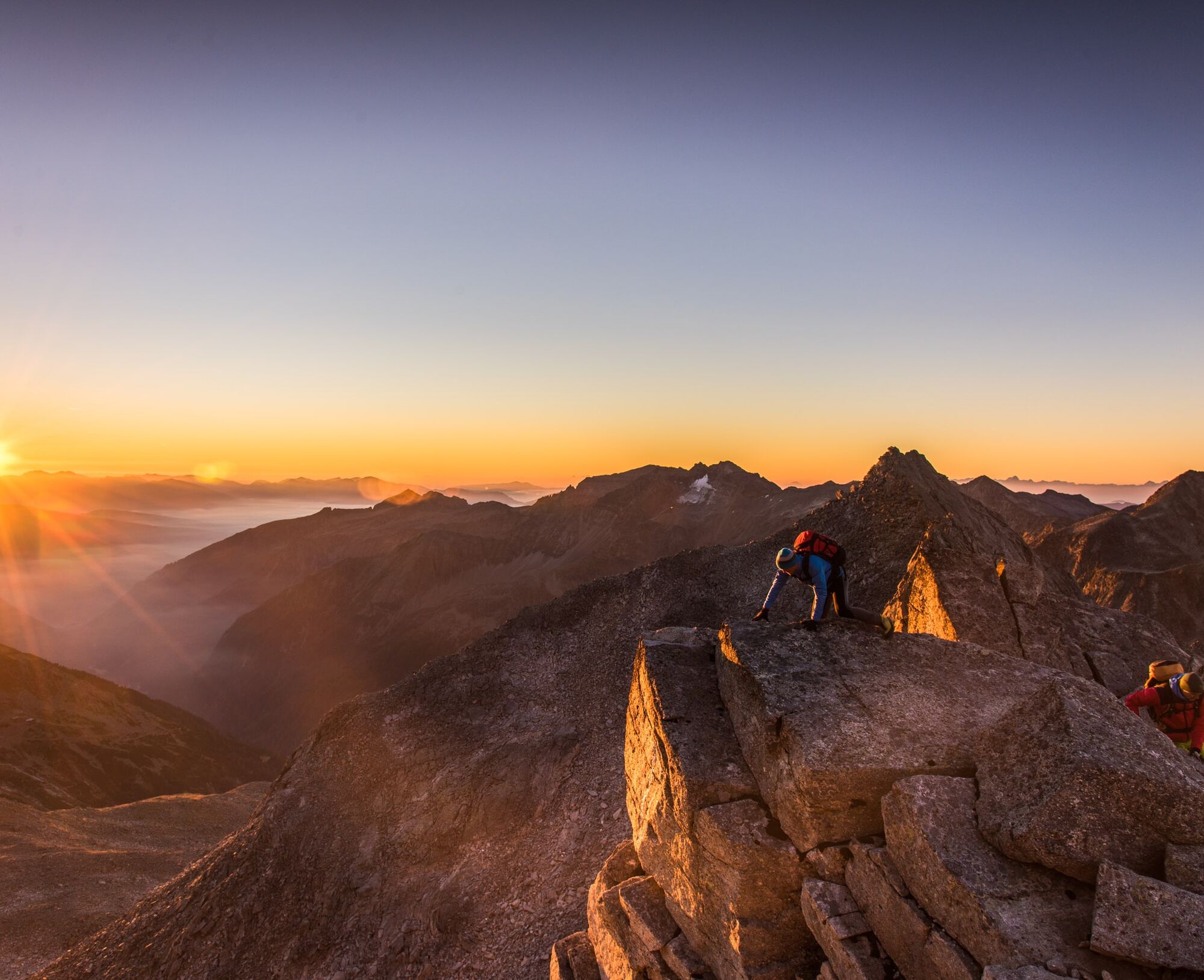
The Hohe Tauern offer at their eastern edge a mighty triad: in a row with the Hochalmspitze and the Ankogel stands boldly and beautifully shaped the Säuleck. The fact that this high destination offers no alpinistic difficulties may be surprising – and has earned the Säuleck the outdated mountain literature designation of "ladies' three-thousander." Since many women now keep up fully with men in all areas of alpinism, we can safely discard this term. However, pleasure-oriented mountain hikers of both sexes can look forward here to an absolute dream route. The water-rich Dösental, the azure blue mountain lake fed by a mysterious block glacier, and the magnificent view from the summit – into the distance and on the nearby mountain personalities; all this will challenge our senses to the highest degree and much will remain unforgettable.
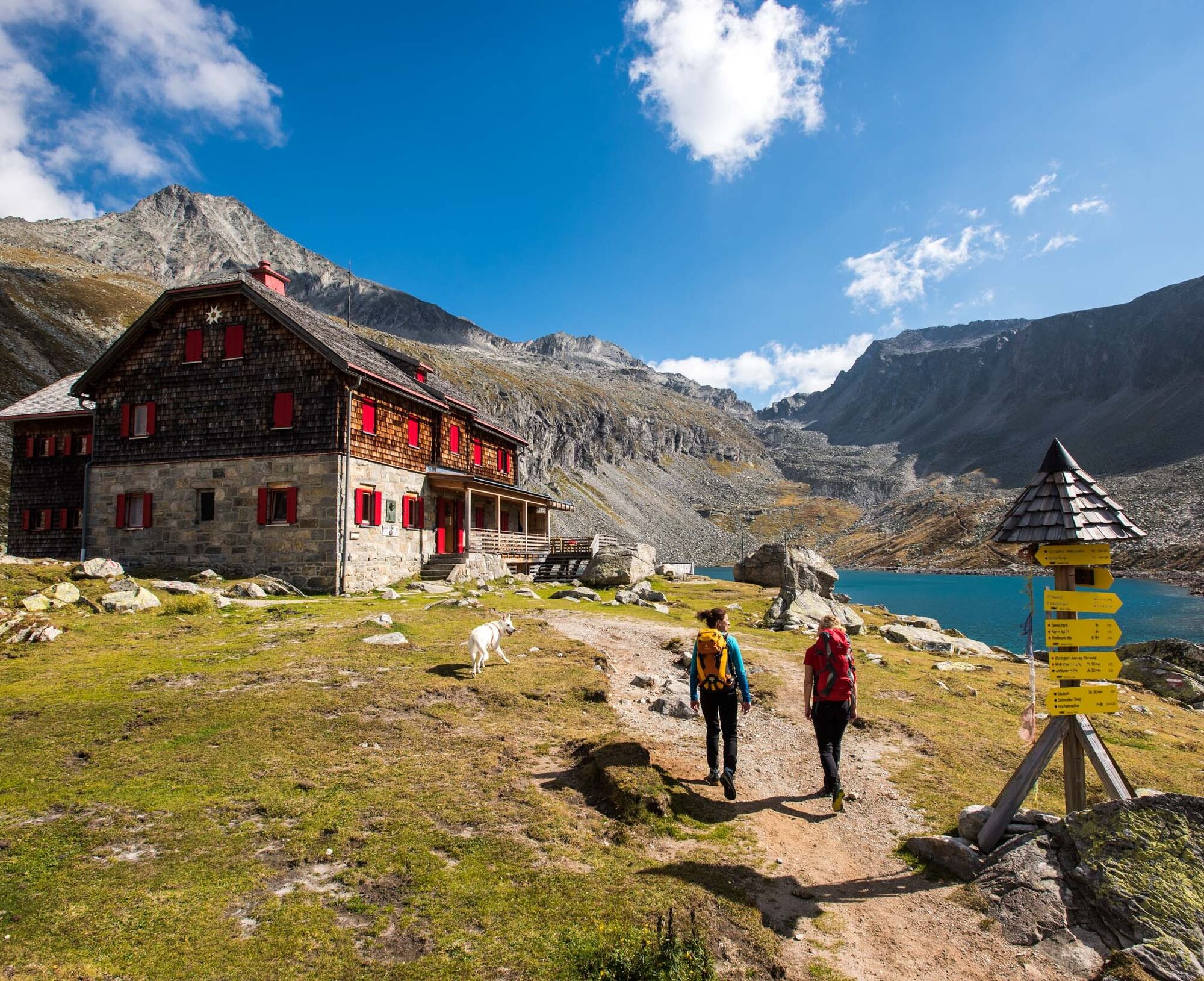

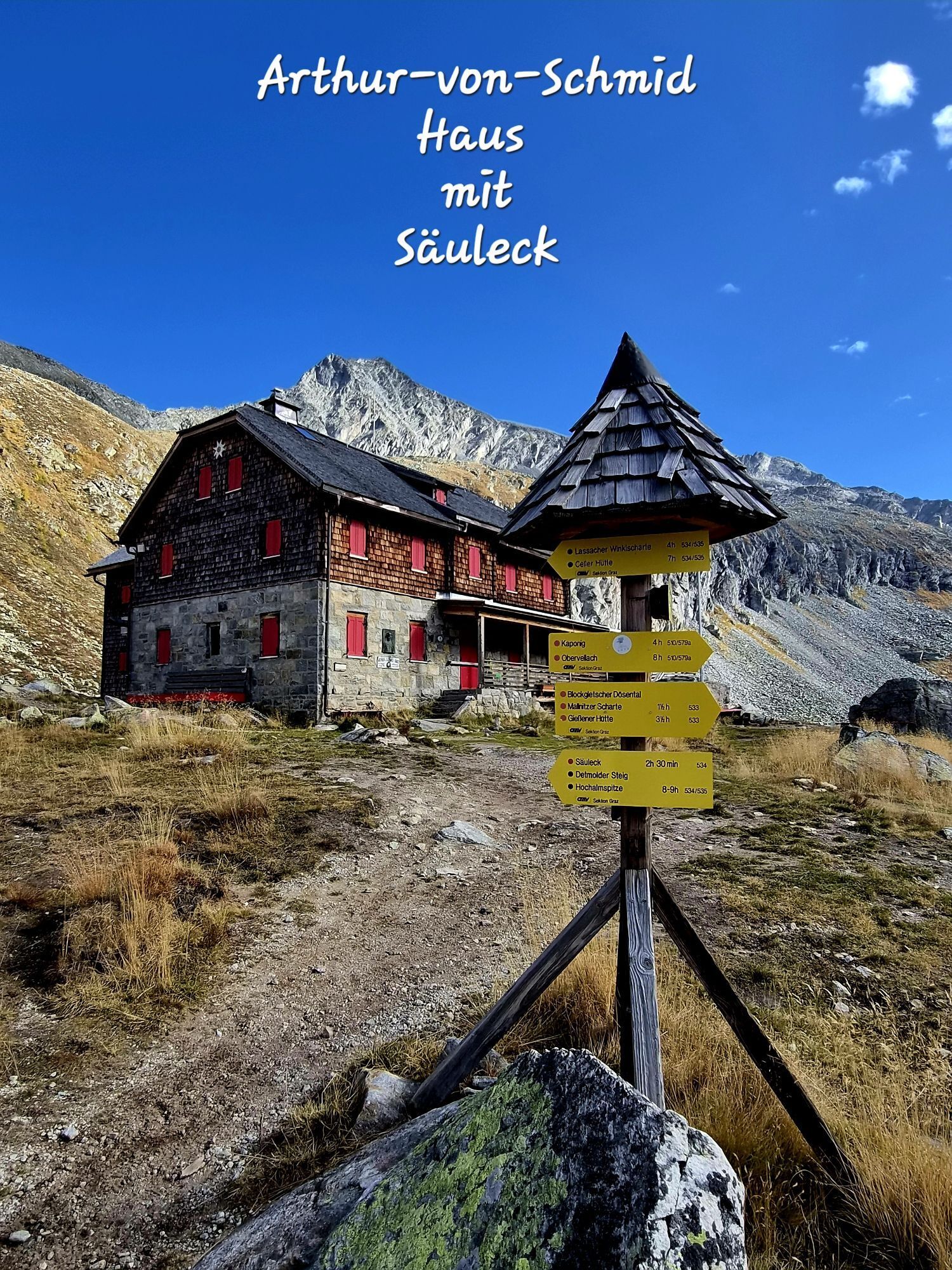
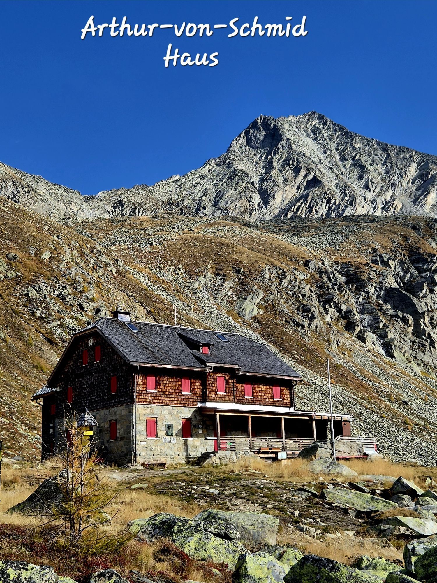
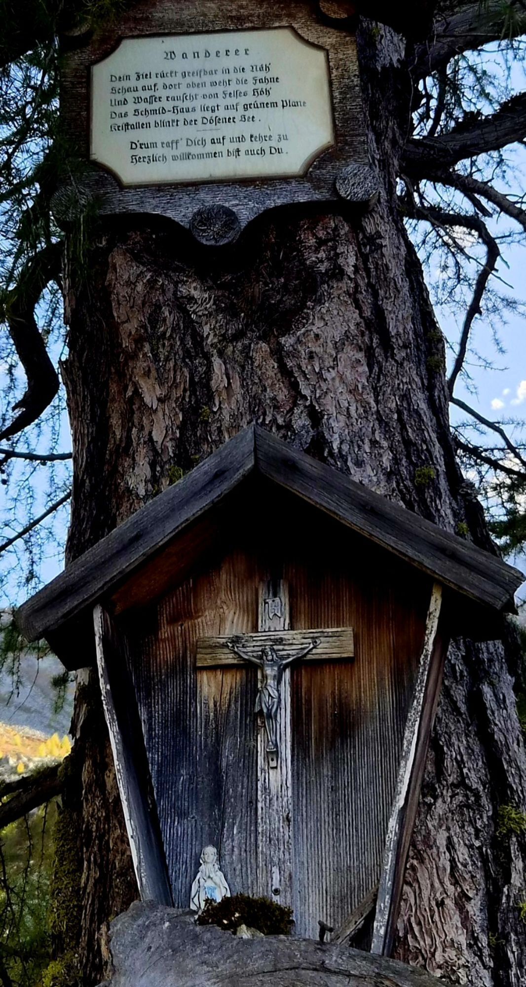
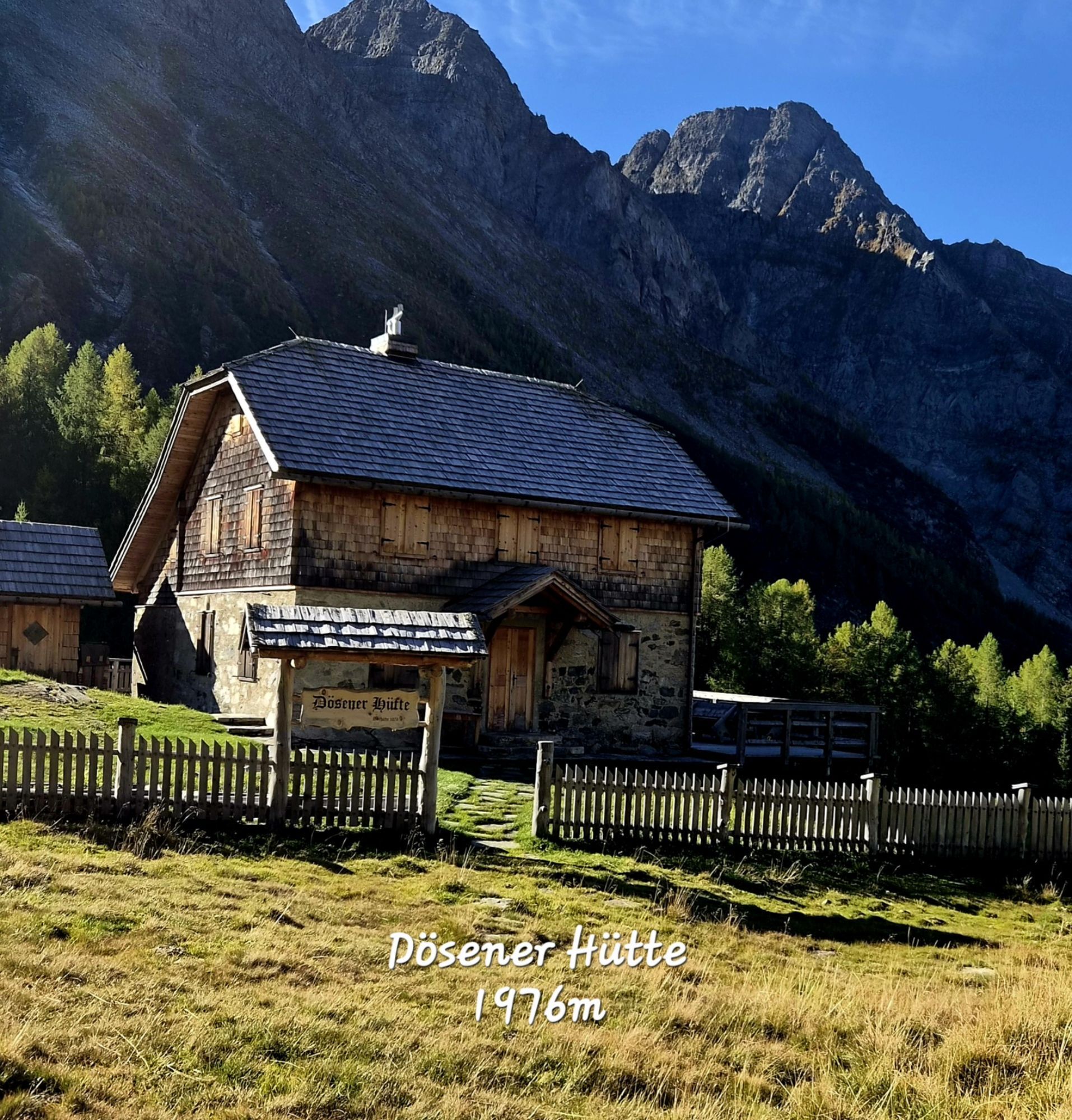
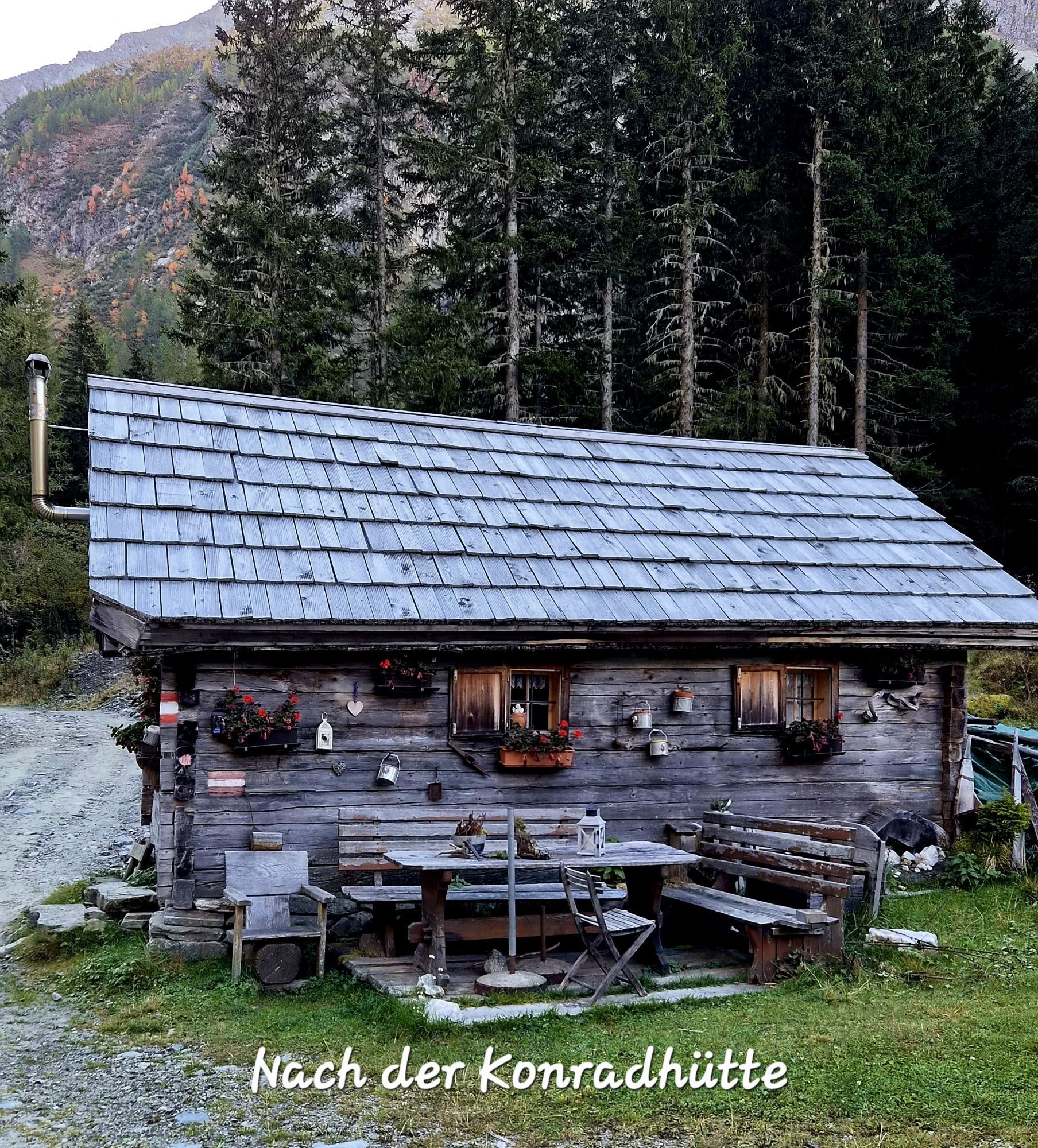
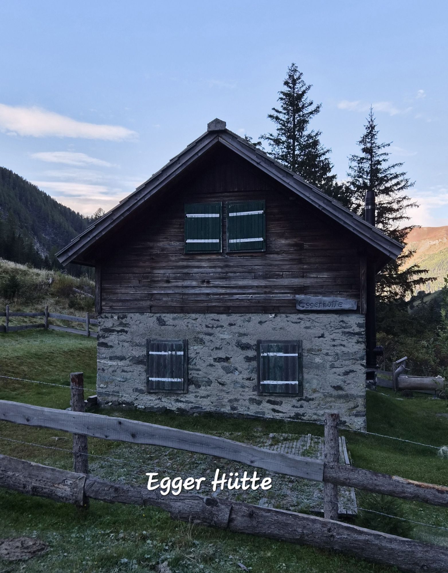
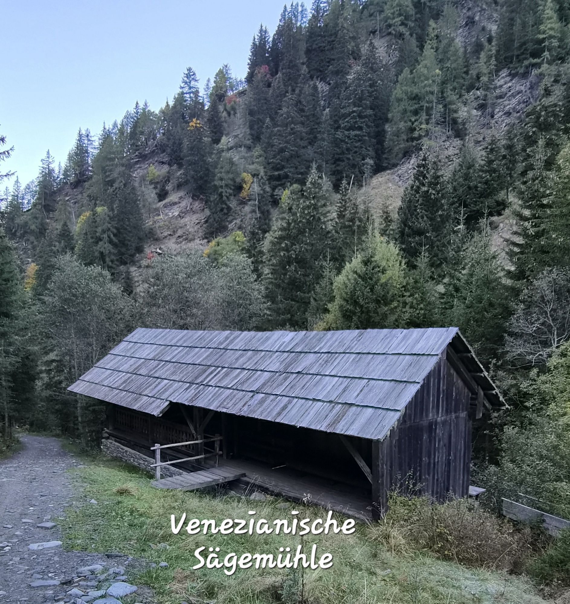
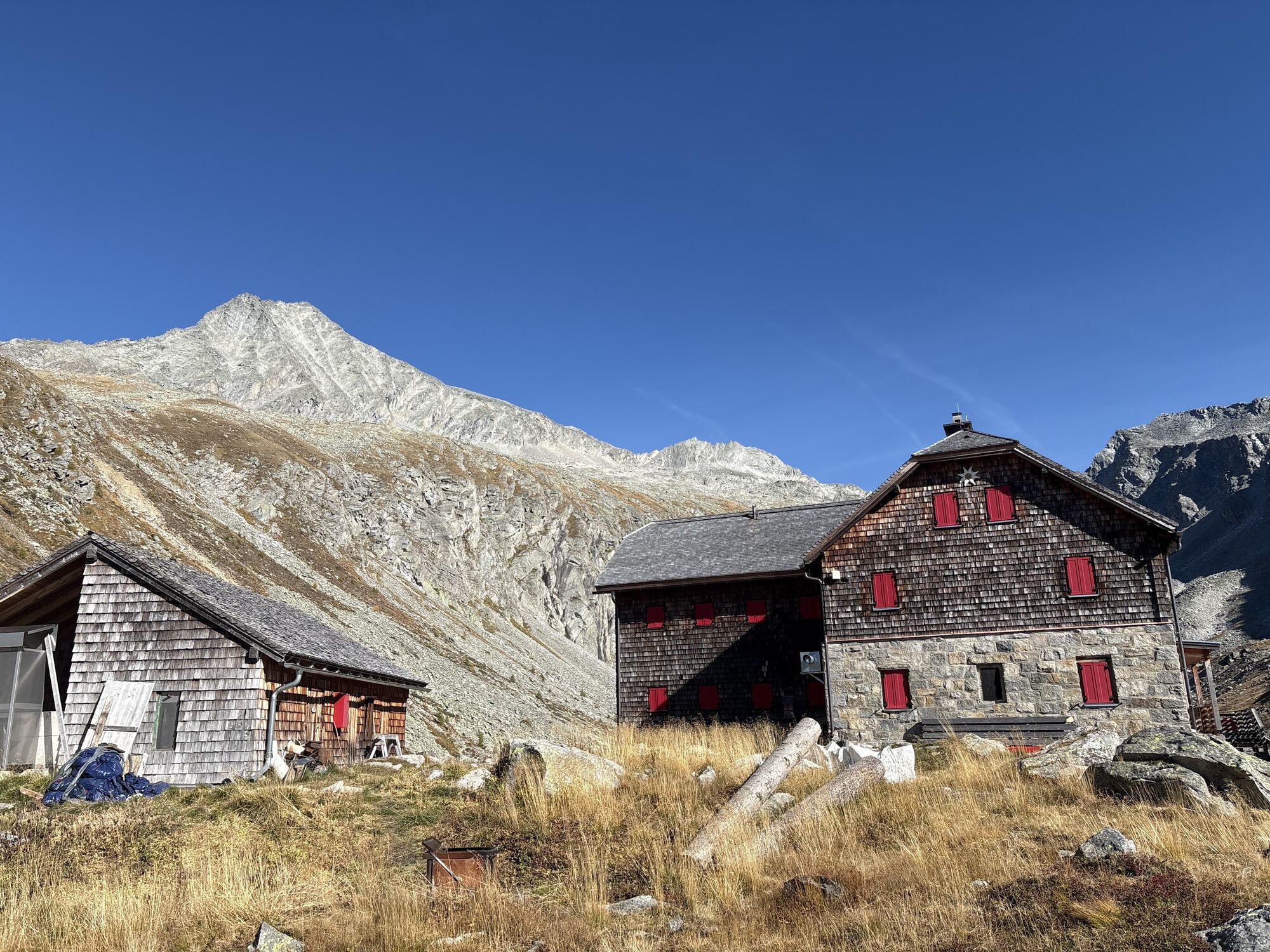
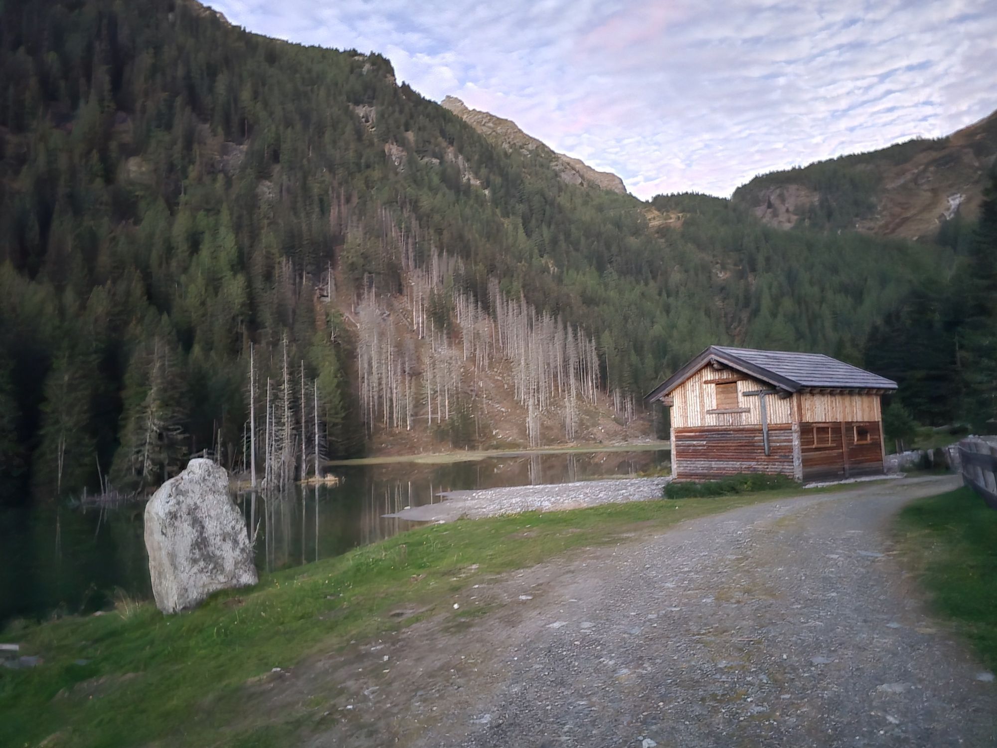
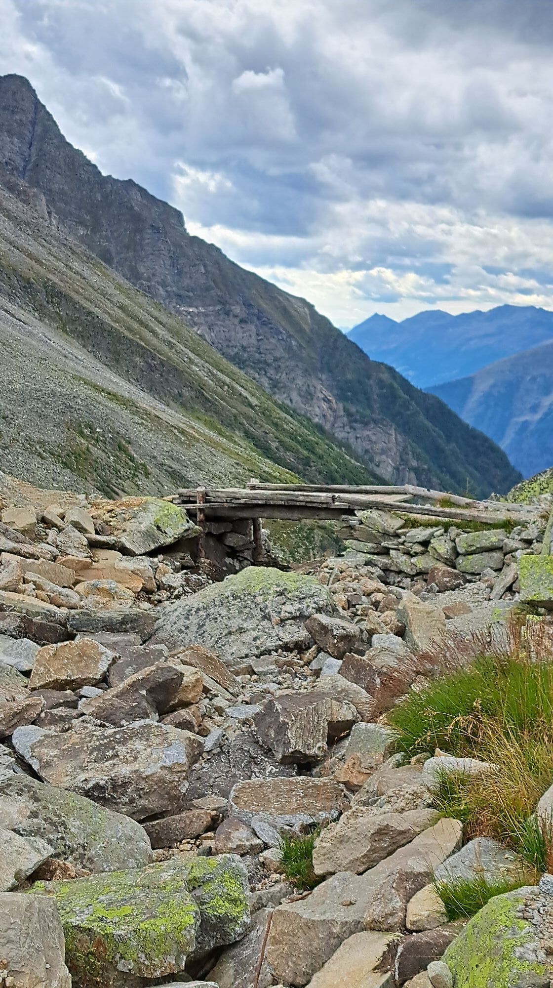
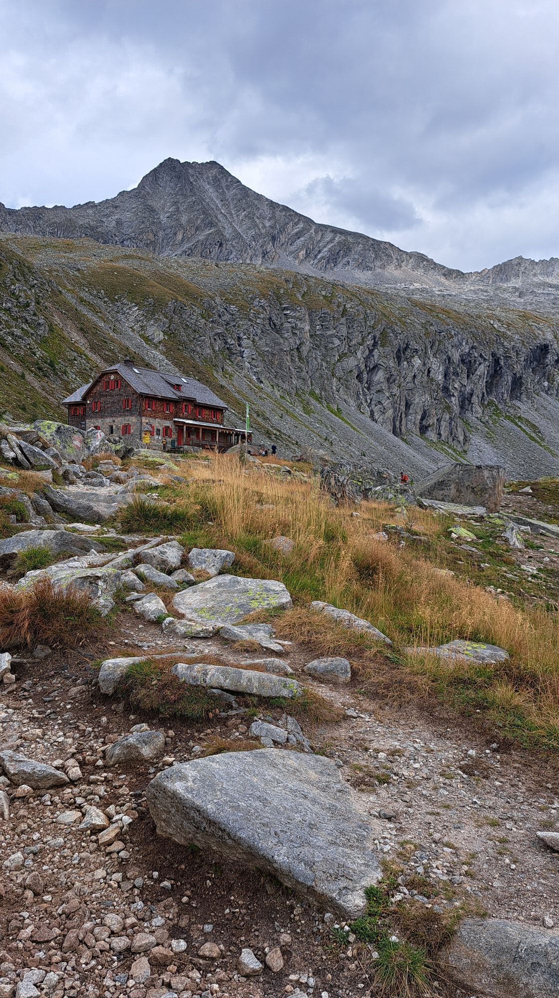
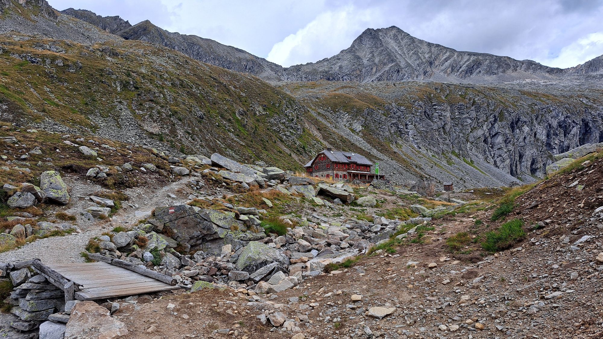
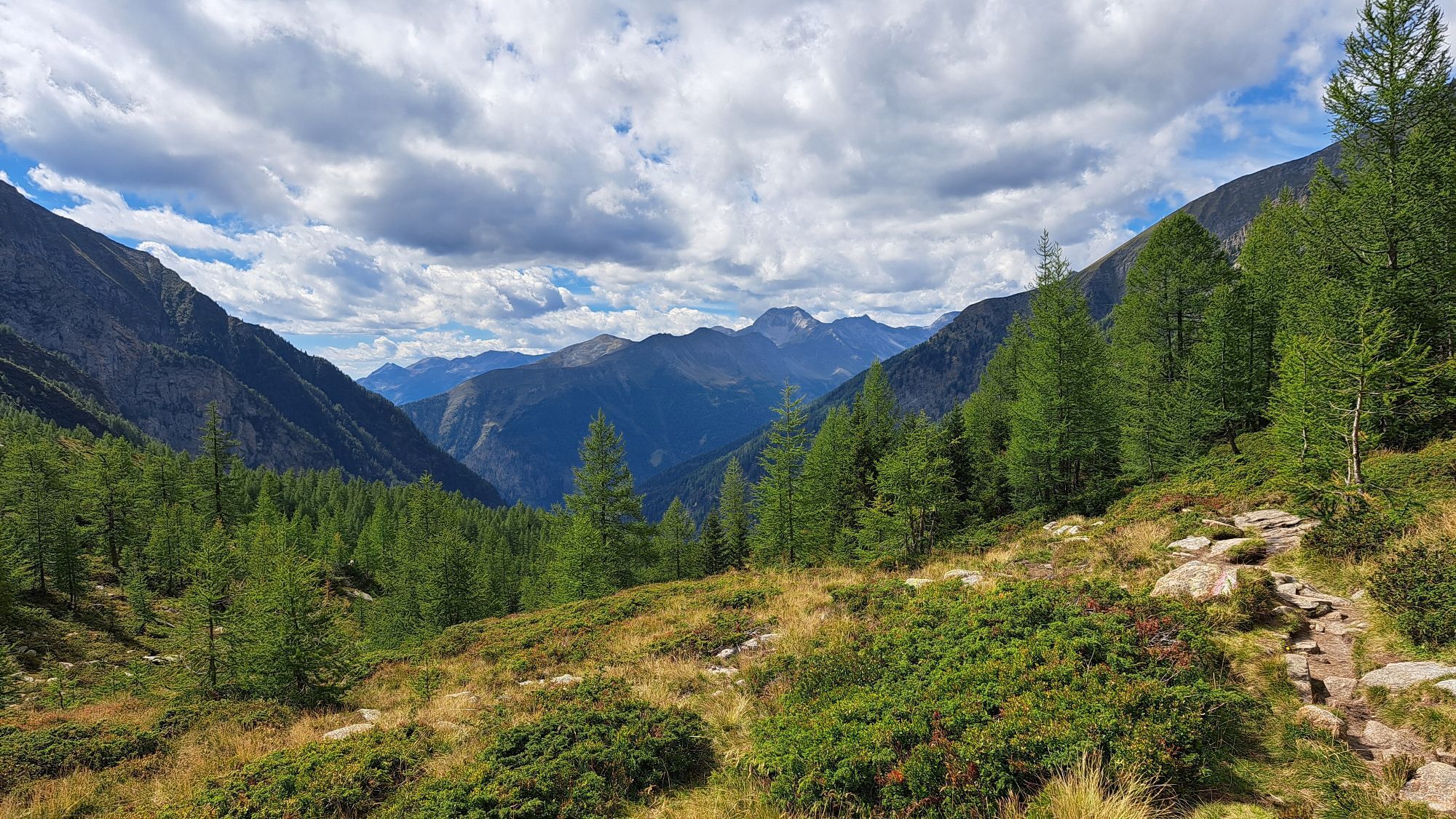
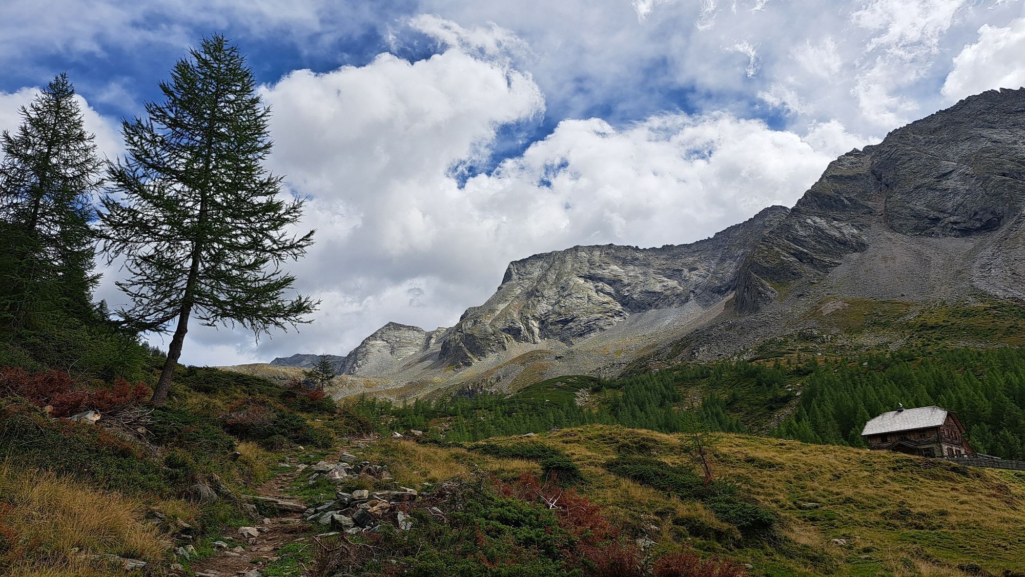
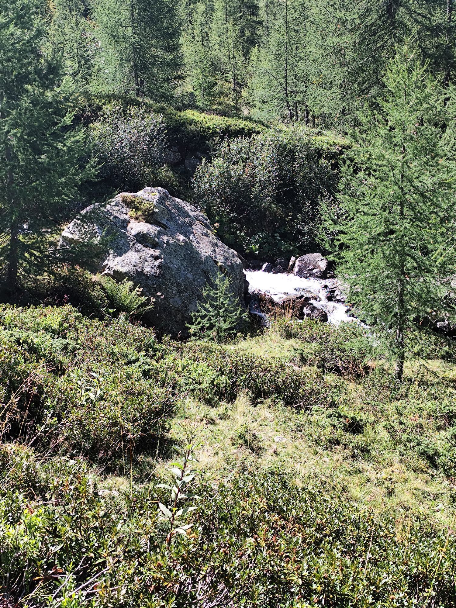
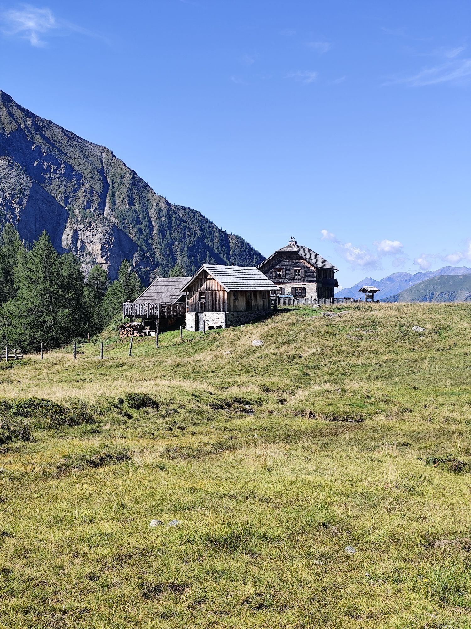
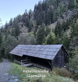
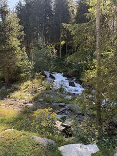
From the parking lot (fee required) in Dösental via trail no. 510 through forest paths and clearings, past the Konradlacke, then up a steep section in several switchbacks and then over the magnificent Lackenböden further to the Arthur-von-Schmid-Haus.
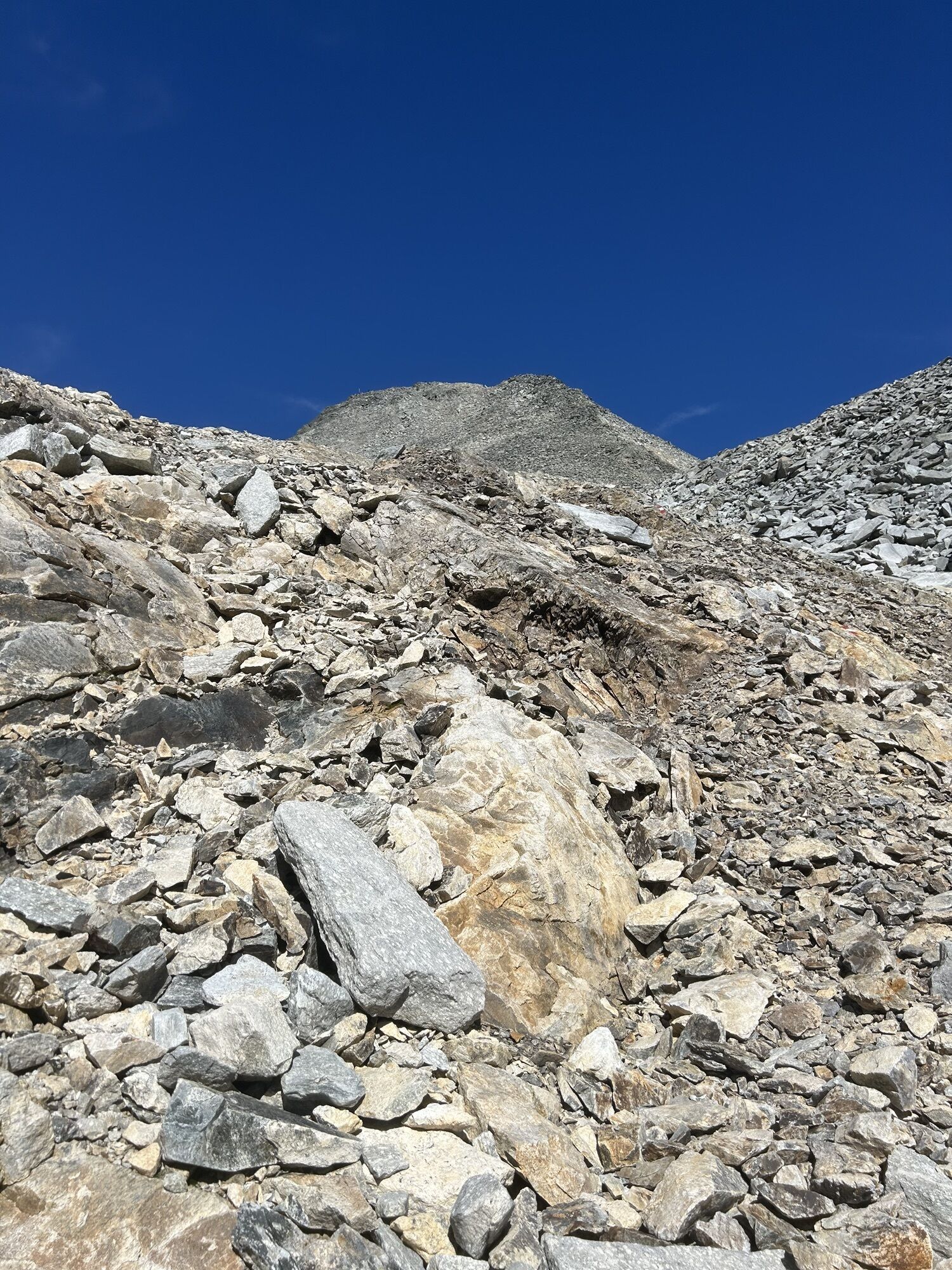
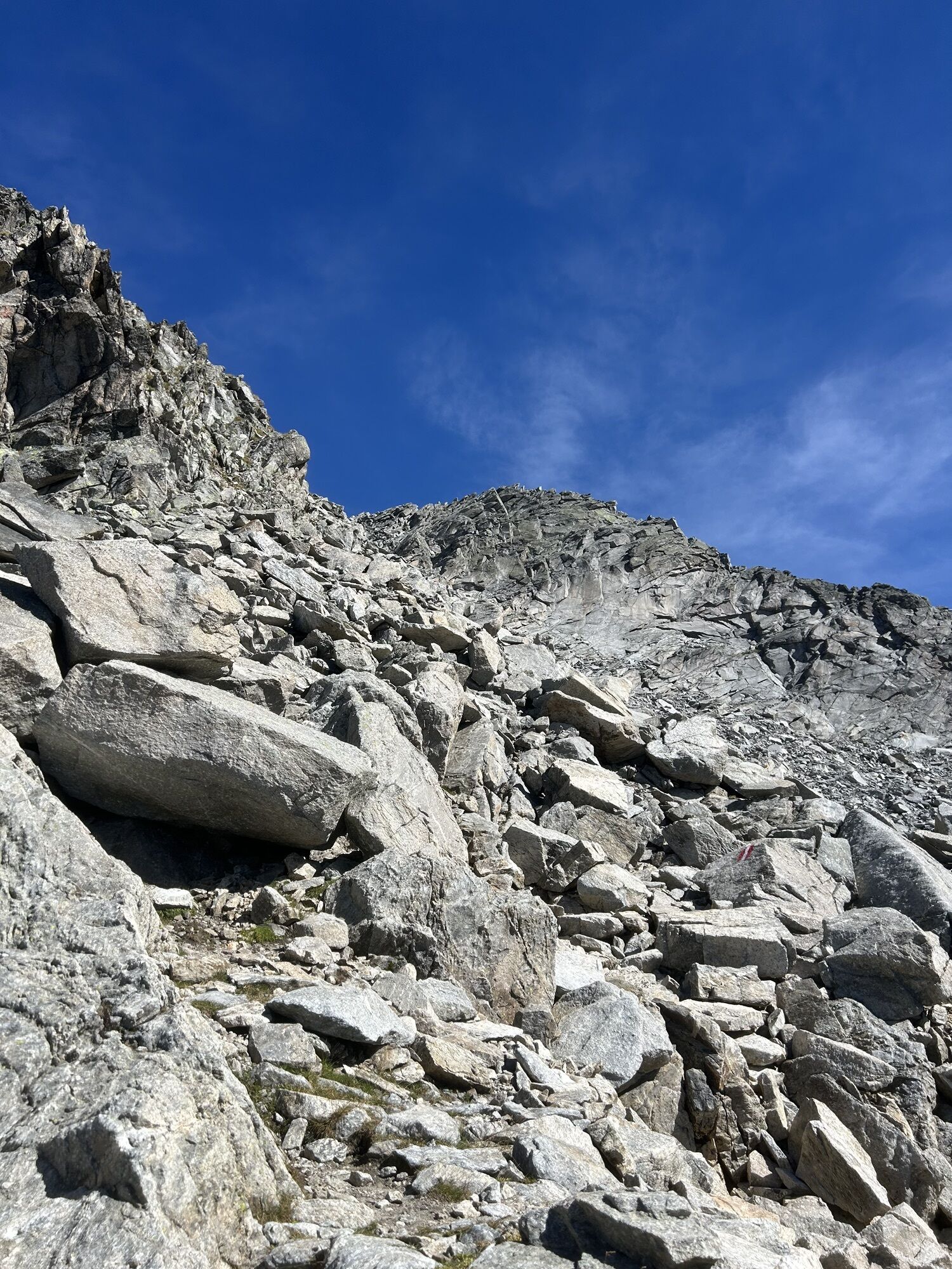
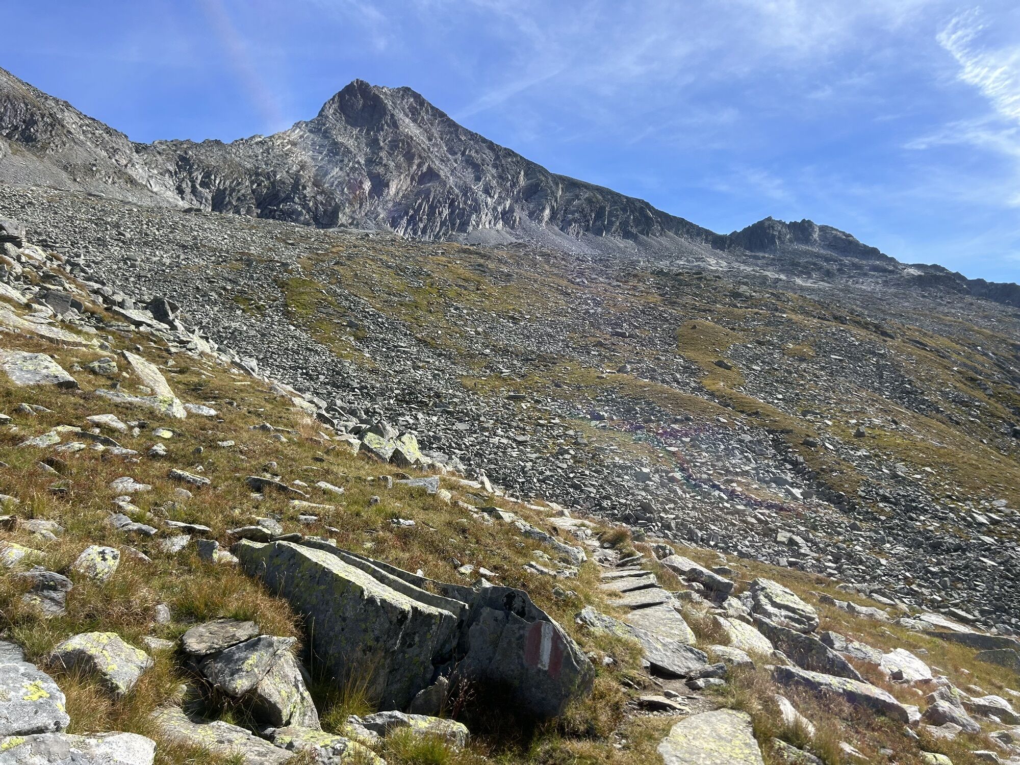
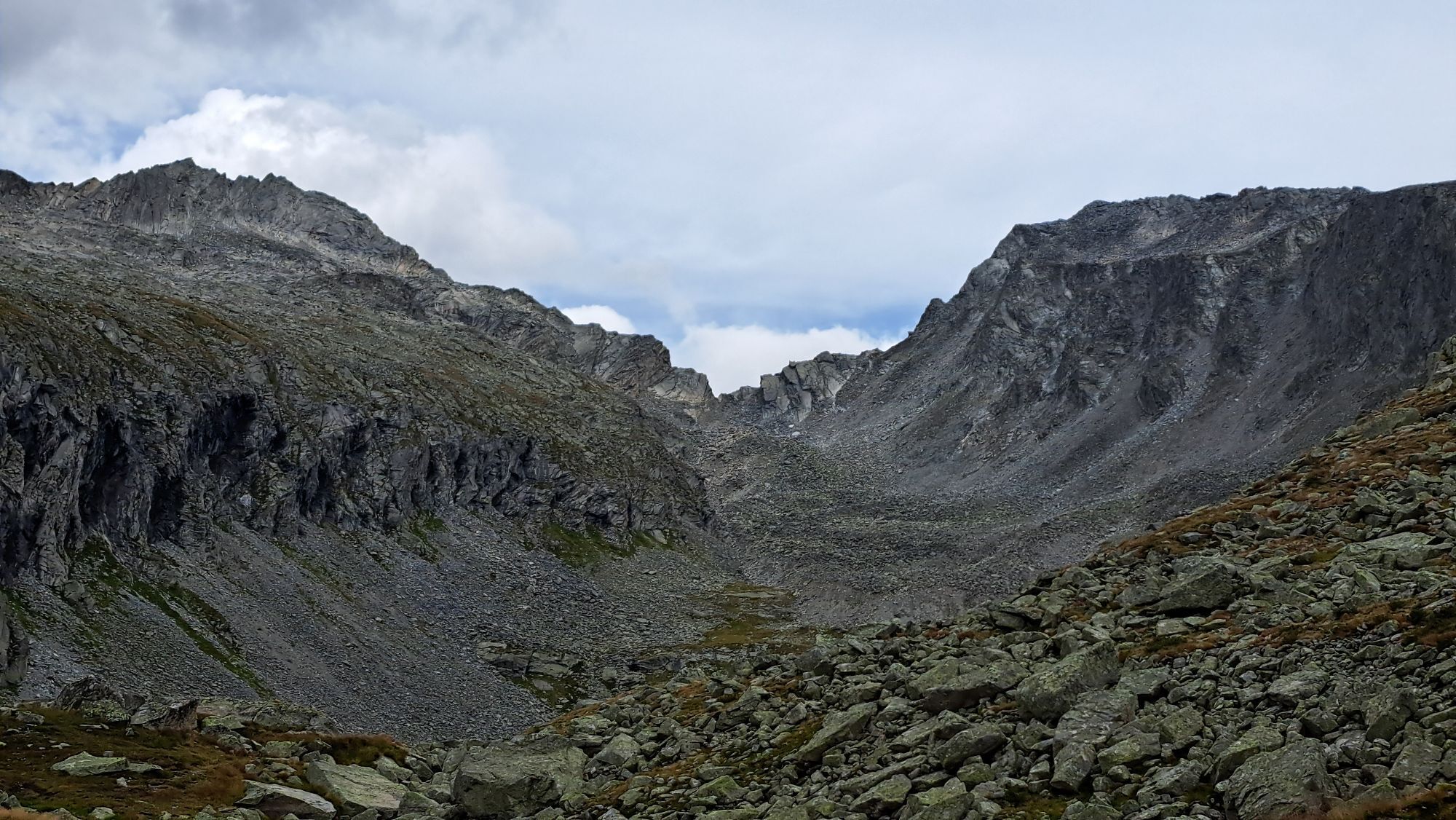
From the hut continue on trail no. 534 up onto the plateau of the "Seealm" and around the massive summit structure to the blocky, quite steep south ridge, which without difficulties leads directly to the distinctive summit.
Descent as ascent.
Da
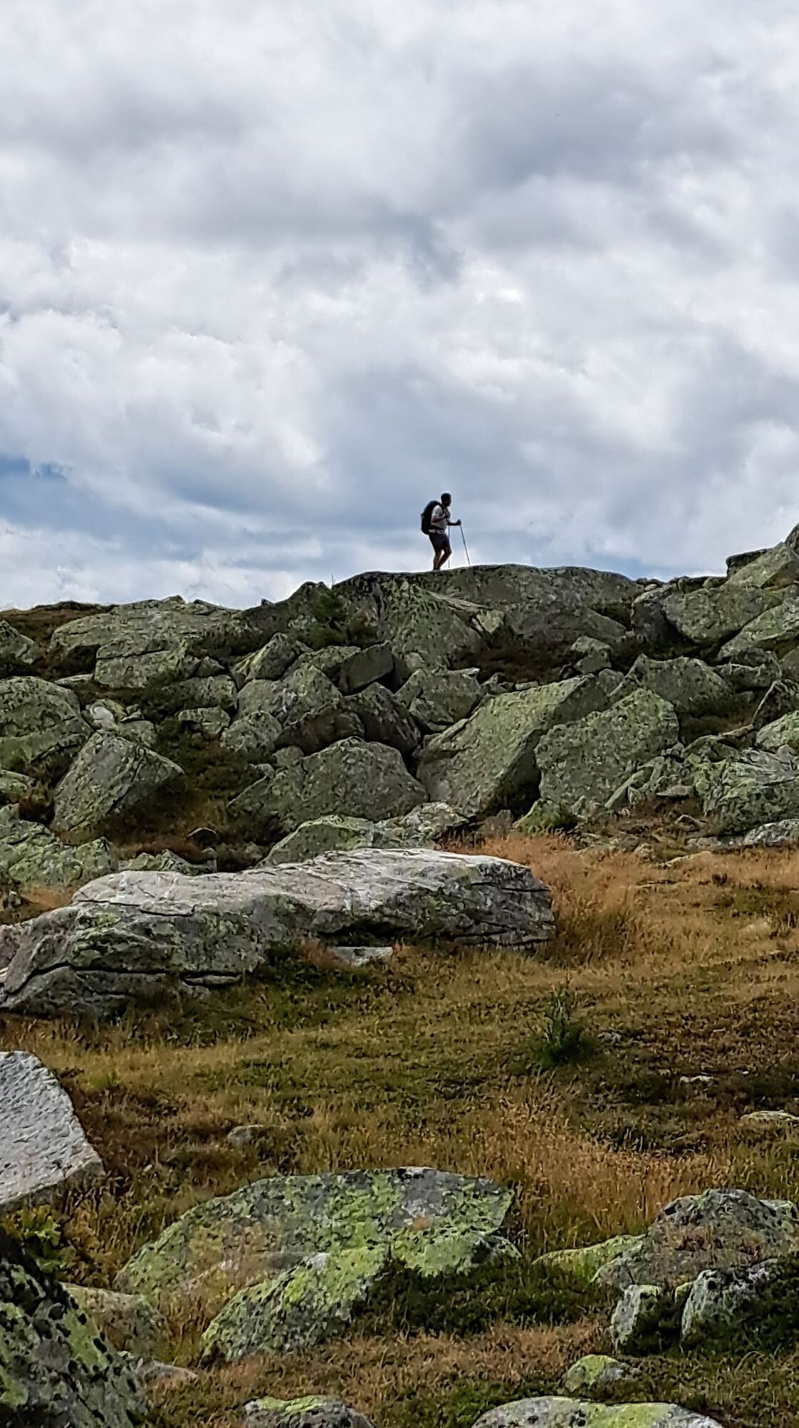
Suitable equipment for hiking.
After the Mallnitz station, turn off towards Dösental. Several switchbacks up to the signposted National Park Parking Lot Dösental.
Hiking bus Mallnitz – information at the Mallnitz tourism association, tel.: 0043(0)4784 290
Mallnitz is ideally accessible by train; international express trains stop at Mallnitz-Obervellach station every 2 hours.
Arrival by car: via the B106 (Mölltal federal road) to Obervellach, from there 8 km via the B105 to Mallnitz.
Hiking bus Mallnitz – information at the Mallnitz tourism association, tel.: 0043(0)4784 290
National Park Parking Lot Dösental (fee required)



Dejavnosti na poti
-

Mallnitz, Kärnten/Österreich
06.10.2026 – Pohodništvo -

Dösen-Arthur-von-Schmid Haus retour
06.10.2026 – Pohodništvo -

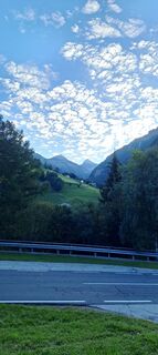
Säuleck-Mallnitz, Kärnten/Österreich
15.09.2026 – Visokogorska tura -

Säuleck, Kärnten/Österreich
12.09.2026 – Pohodništvo -

Mallnitz, Kärnten/Österreich
06.09.2026 – Pohodništvo -
Mallnitz, Kärnten/Österreich
05.09.2026 – Pohodništvo -
Mallnitz, Kärnten/Österreich
28.08.2026 – Pohodništvo -
Mallnitz, Kärnten/Österreich
27.08.2026 – Pohodništvo -

Mallnitz, Kärnten/Österreich
27.08.2026 – Via ferrata -
Mallnitz, Kärnten/Österreich
26.08.2026 – Via ferrata -
Mallnitz, Kärnten/Österreich
20.08.2026 – Pohodništvo -

Mallnitz, Carinzia/Austria
19.08.2026 – Pohodništvo -

Mallnitz, Kärnten/Österreich
18.08.2026 – Pohodništvo -

Mallnitz, Kärnten/Österreich
16.08.2026 – Pohodništvo -

Mallnitz, Kärnten/Österreich
14.08.2026 – Pohodništvo -
Mallnitz, Kärnten/Österreich
09.08.2026 – Pohodništvo -
Mallnitz, Kärnten/Österreich
05.08.2026 – Gorski pohodništvo -

Arthur Schmidhaus - Mallnitz
02.08.2026 – Gorski pohodništvo -
Mallnitz, Kärnten/Österreich
01.08.2026 – Gorski pohodništvo -

Mallnitz, Kärnten/Österreich
01.08.2026 – Pohodništvo
Priljubljeni izleti v okolici
-
4.7
Family bike ride along the bike path R9B Gmünd - Maltatal
srednjaKolesarjenje 33.8 km -
4.5
Groppenstein Gorge Obervellach
srednjaPohodništvo 2.99 km -
4.9
Bella Vista auf Hohe Leier
srednjaVia ferrata 15.6 km -
4.4
"Elendrunde" Kleinelend Valley - Zwischenelendscharte - Großelend Valley
srednjaPohodništvo 21.9 km -
4.4
Mountain route from the Kötschachtal to the natural jewel Reedsee
srednjaPohodništvo 12.5 km -
4.8
Wanderung zur Schwussner Hütte
svetlobaPohodništvo 8.07 km -
4.9
Ankogelgruppe - Säuleck 3.086m - Detmolder Weg mit zu viel Schnee
težkoVisokogorska tura 23 km -
4.7
Kölnbreinspeicher bis Osnabrücker Hütte
svetlobaPohodništvo 15.9 km -
4.5
Ankogelbahn: mountain station - Kleine Tauernsee - middle station
srednjaPohodništvo 5.91 km -
4.1
Barbarossa Gorge near Mühldorf/Mölltal
svetlobaPohodništvo 2.74 km
Pohodništvo in sledenje


Ne zamudite ponudb in navdiha za naslednje počitnice
Vaš e-poštni naslov je bil dodan na poštni seznam.





