


Magernigspitz from the Sadnighaus


The Magernig or Makerni practically greets you when you enter the Hintere Astental. Like most of the routes around the Sadnighaus, the tour to Magernig/Makerni is quite short with 800 vertical meters but...
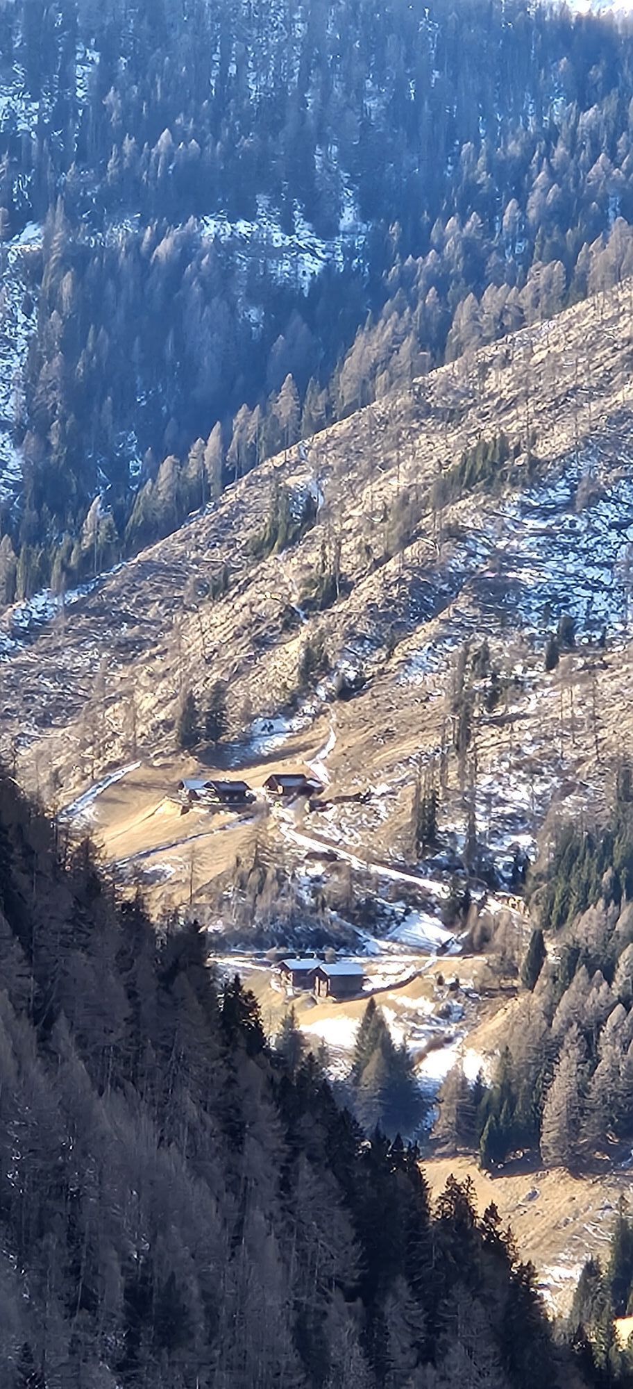
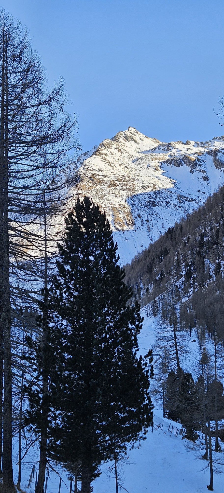
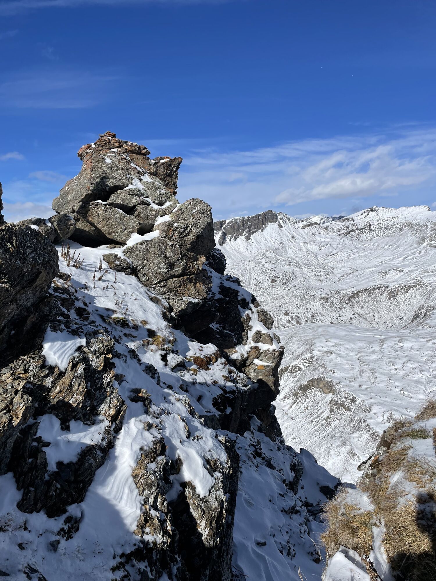
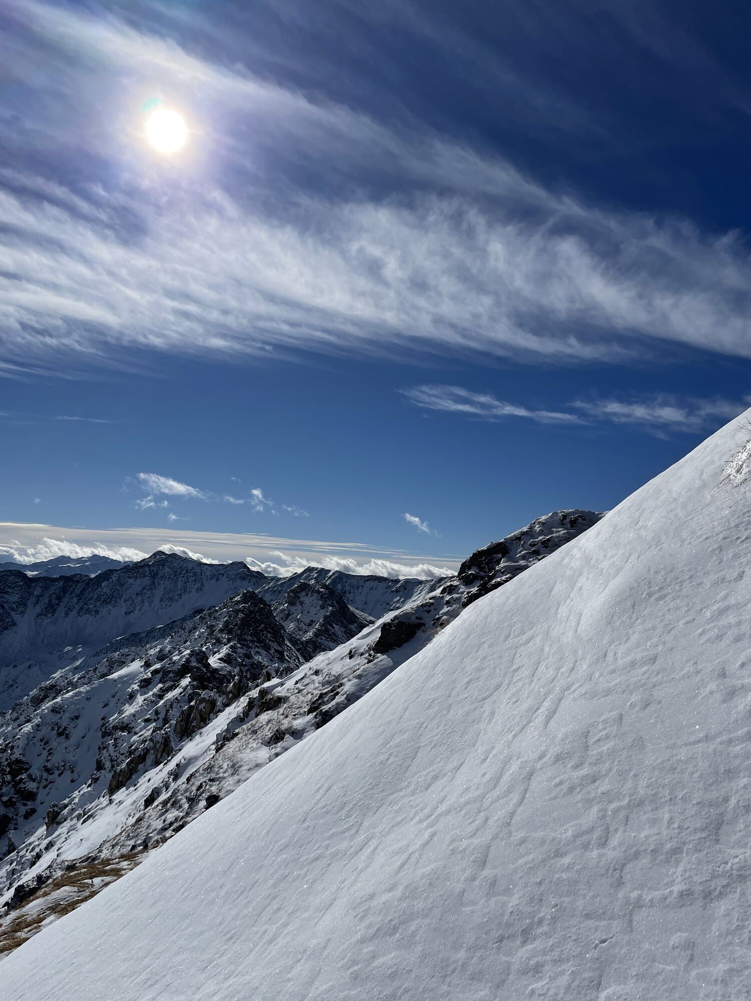
The Magernig or Makerni practically greets you when you enter the Hintere Astental. Like most of the routes around the Sadnighaus, the tour to Magernig/Makerni is quite short with 800 vertical meters but very challenging! The west slope is very consistent in steepness and always steeper than 30 degrees - therefore it should only be attempted under safe conditions.
Due to the high starting point (1,876 m), a good snow cover usually prevails throughout the winter on all routes in the Astental.
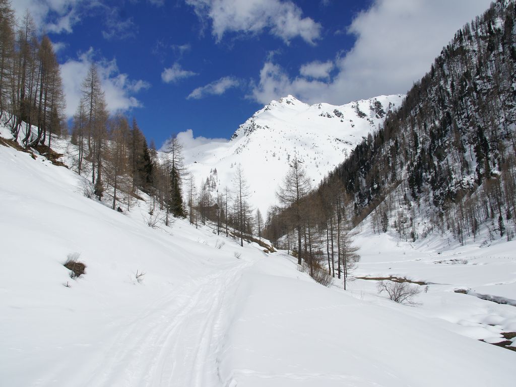
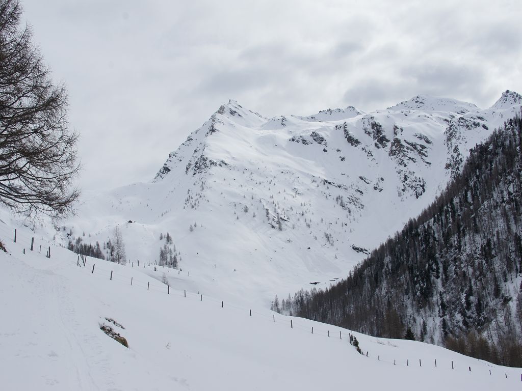
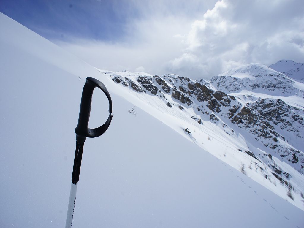
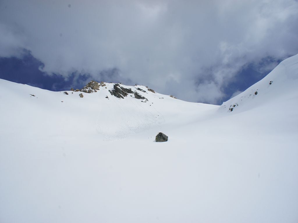
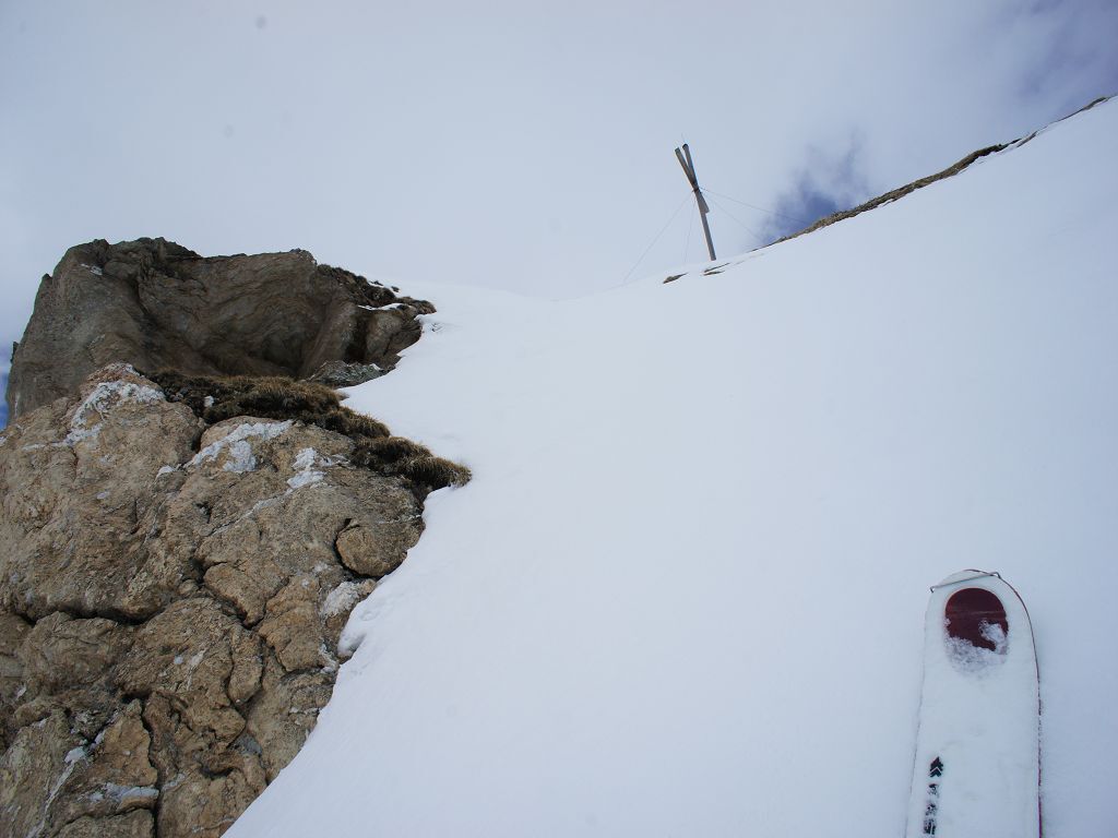
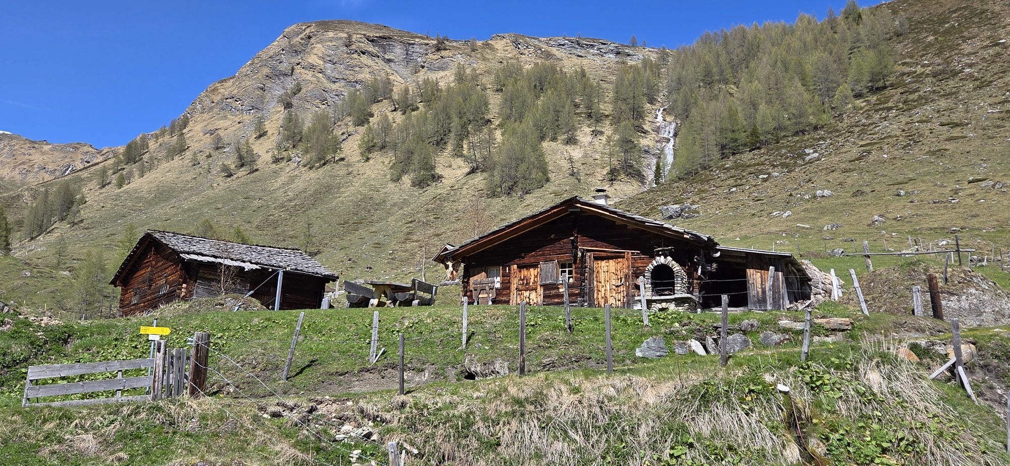
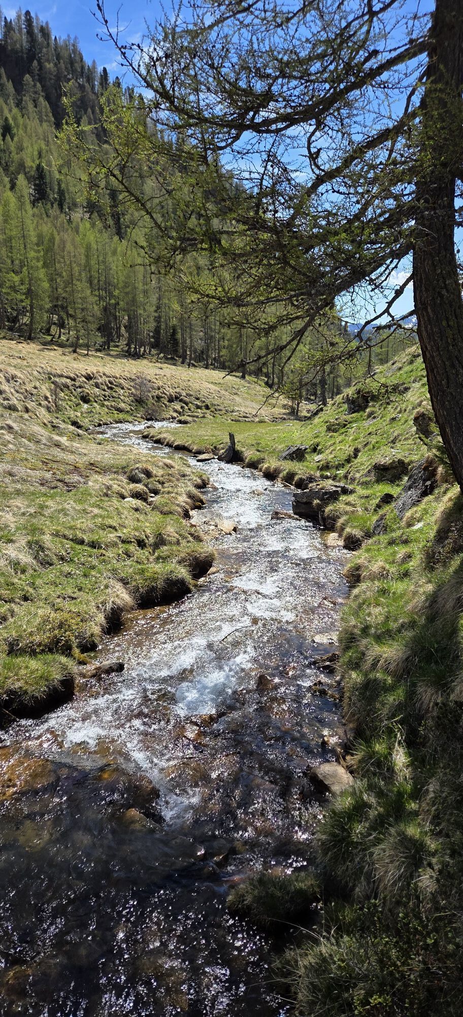
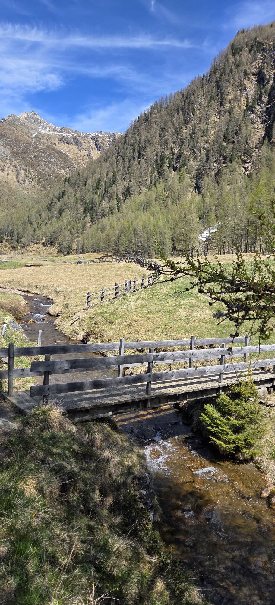
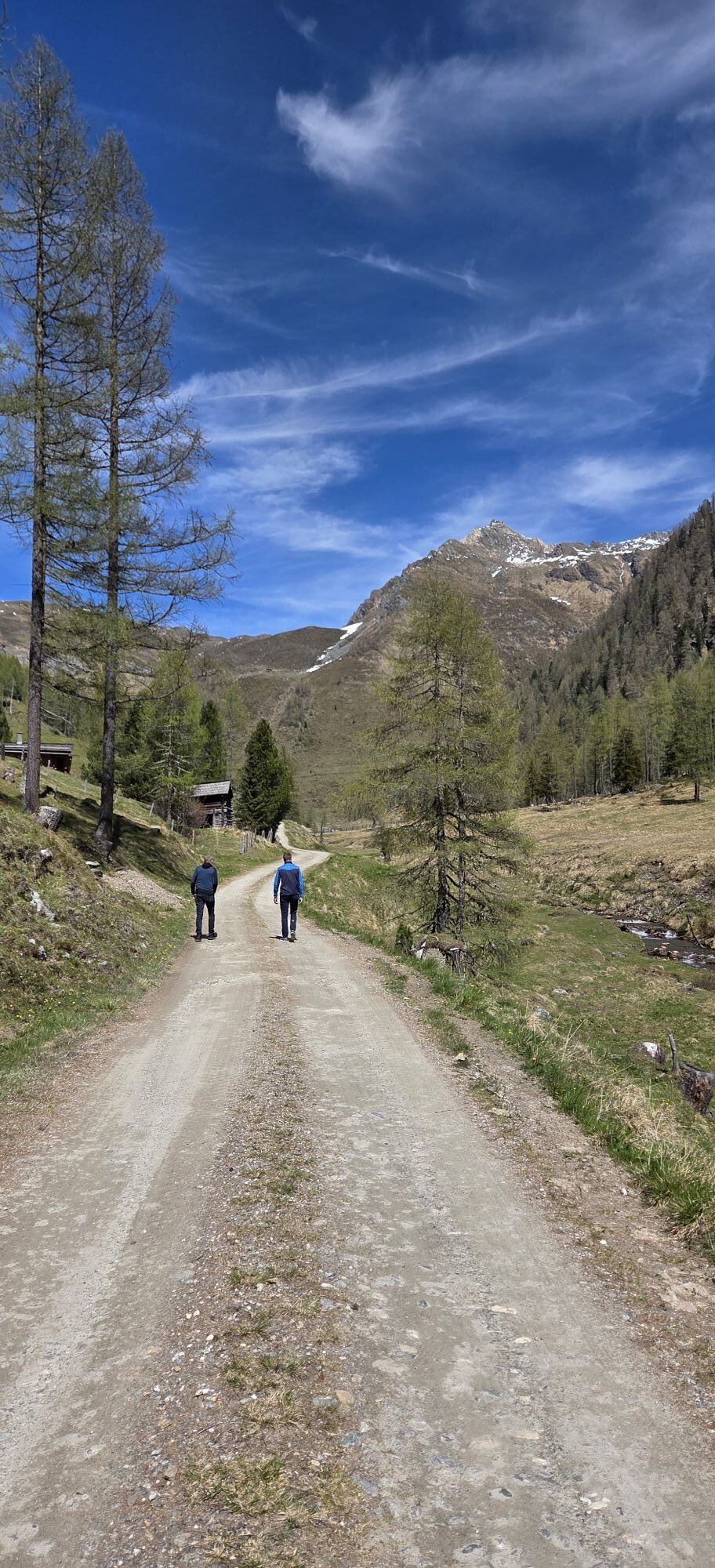
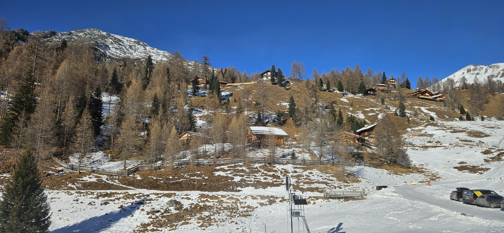
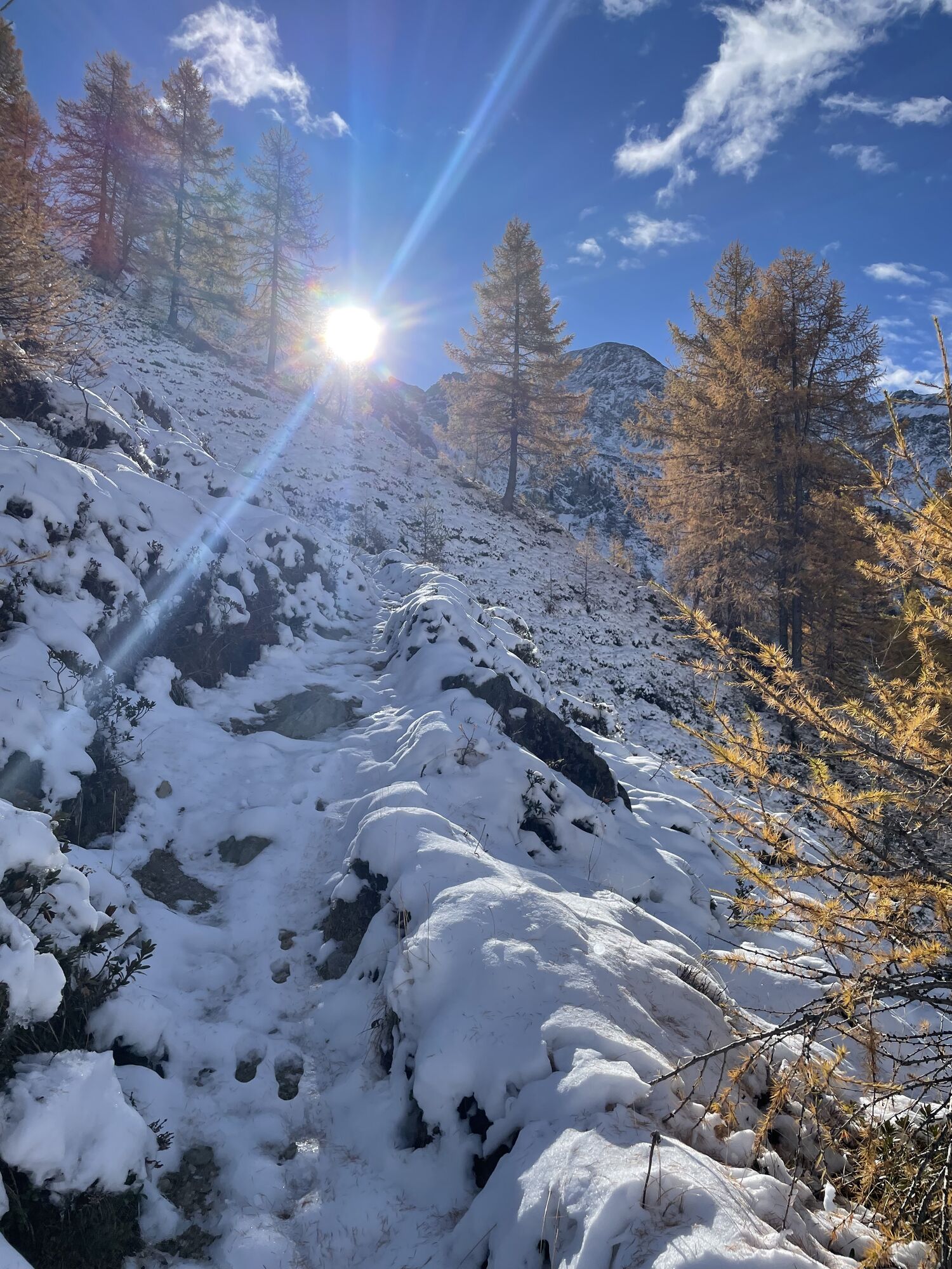
In the curve in front of the Sadnighaus, a groomed level path leads along the creek into the Astner Moos. Passing the alpine huts of Auernigalm (1857m), the path continues towards Lindleralm (1962m) – take the right forest road above Auernigalm. However, do not follow it all the way to Lindleralm, but branch off roughly below the material cable car towards Burgstalleralm (2,116 m) and ascend the steep west slope to just below it. Now cross to the right (south) under a rock spur to the actual west flank of the Magernigspitze. Climb this steeply, shortly before the ridge there is a hollow. Then climb steeply again over the southwest ridge to the summit.
Da
Da
Usual ski touring and avalanche transceiver equipment. Crampons absolutely necessary!
Due to its constant steepness, the route should only be taken under safe avalanche conditions (best on firn).
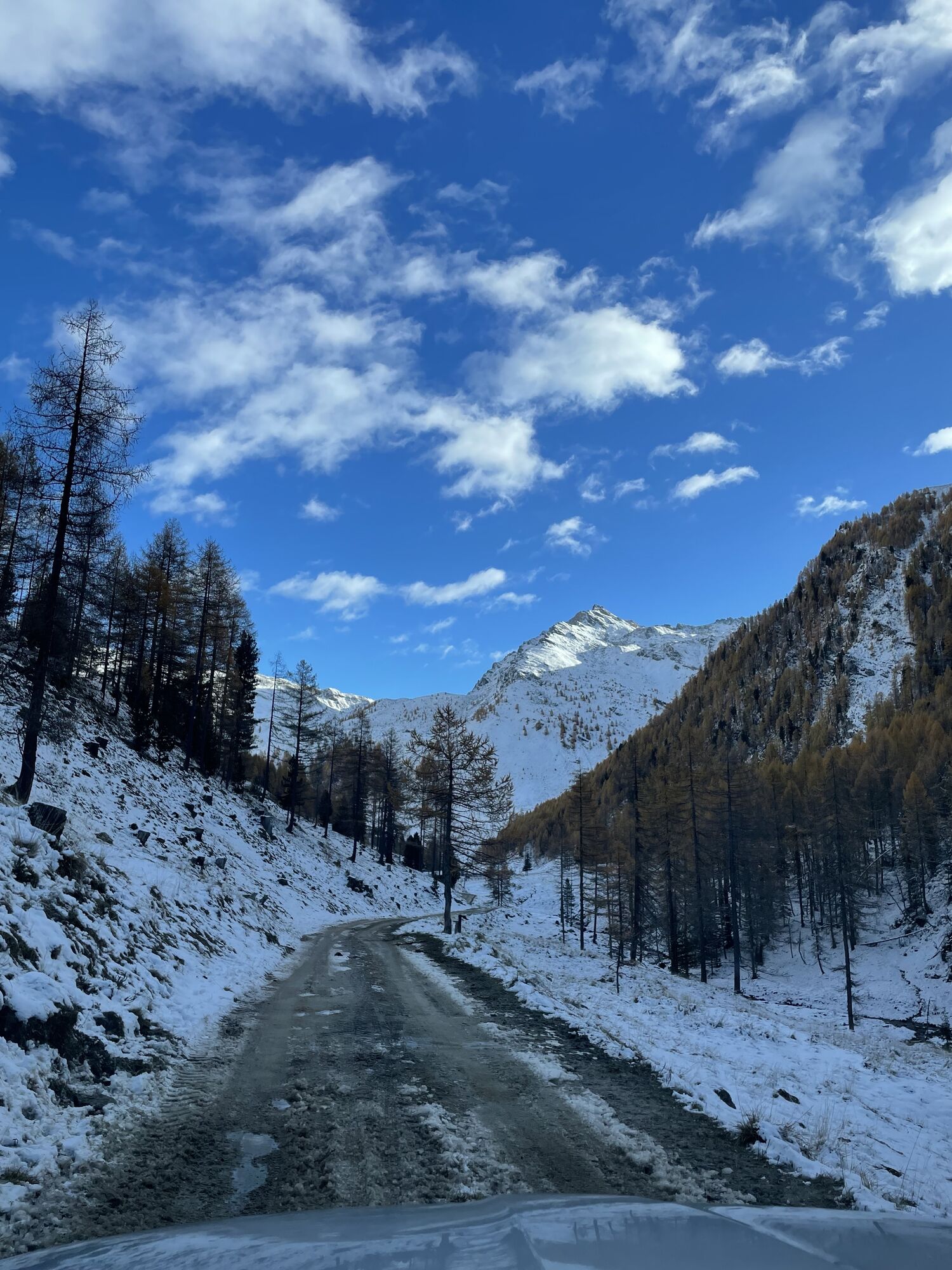
Via the B 107, the Grossglockner road, to Mörtschach. In the village, turn east and along the usually well-cleared 10 km long road into the Astental to the parking lot at the end of the road by the Sadnighaus (in any case, bring snow chains!)
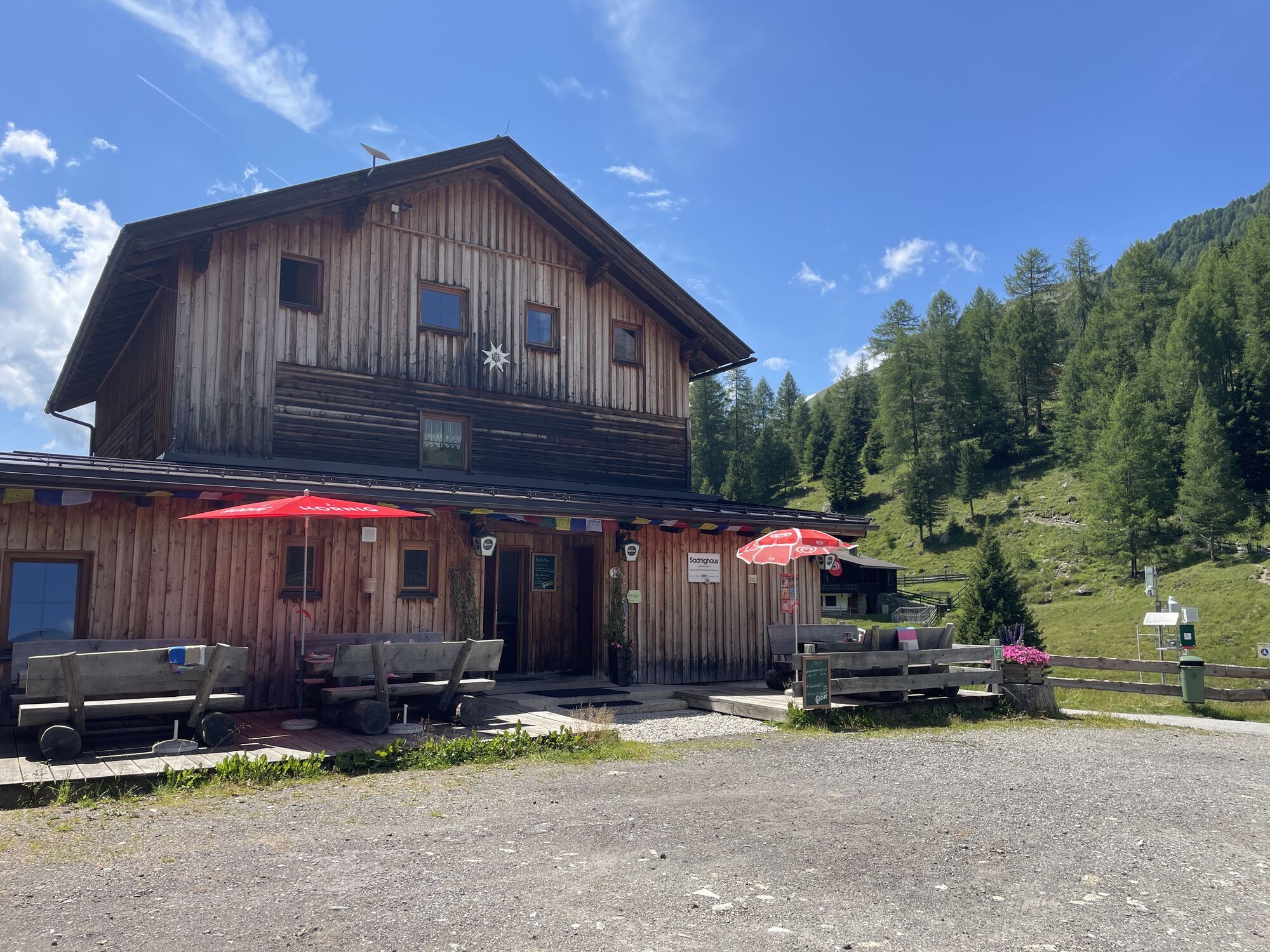
At the parking lot directly at the Sadnighaus.
Respect your limits! 5 rules for responsible snowshoeing or ski touring:
Where available, stay on marked routes; pay close attention to information boards as well as protected, conservation, and restricted areas. Be considerate of wildlife: avoid feeding areas and immediately and quietly retreat if wildlife is spotted. Avoid young tree cultures (under three meters), ski edges can cause significant damage to trees. Do not leave any waste behind. Avoid noise.Important for ski touring: prohibition of driving on young forest and reforestation areas
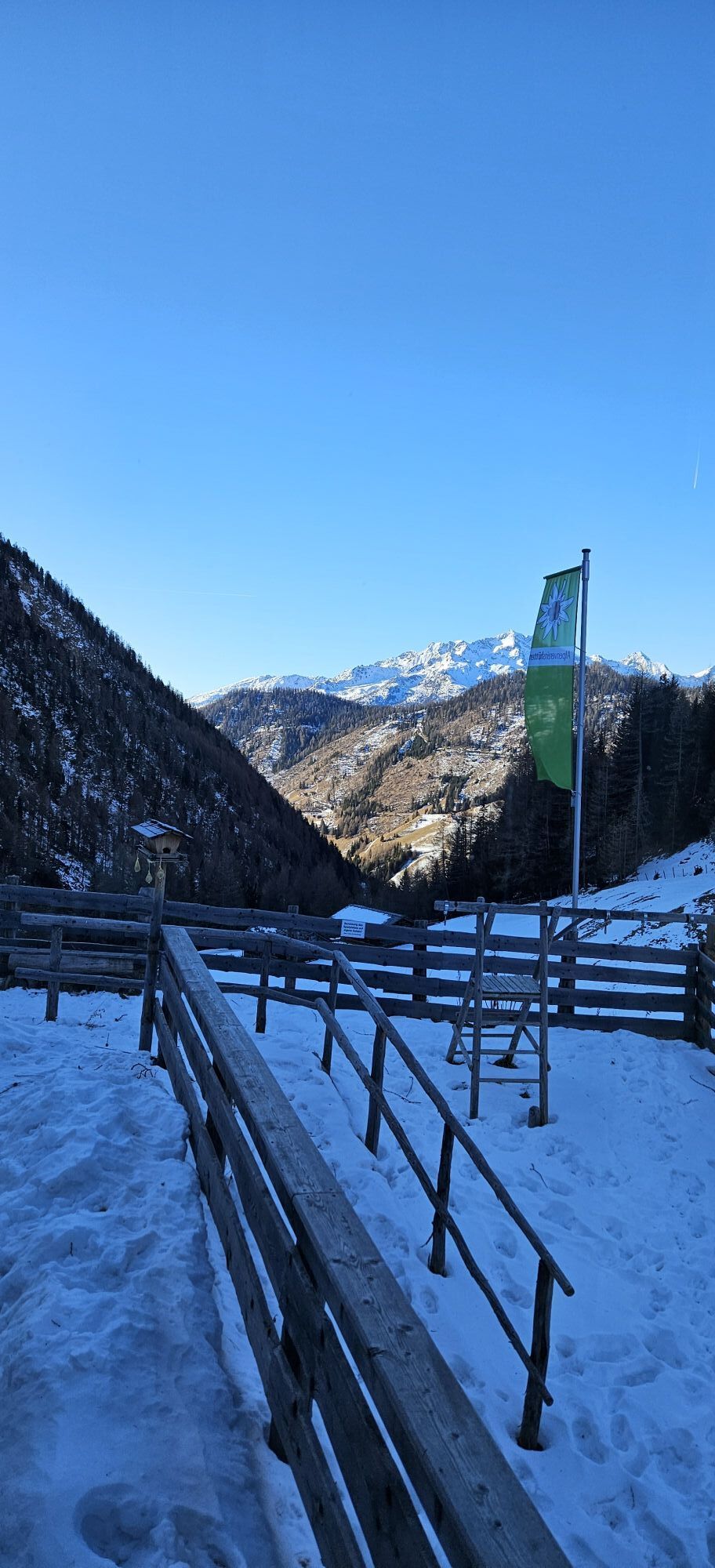
The Astental is an exceptionally beautiful ski touring area and offers a variety of easy but also more difficult routes. The Sadnighaus of the OeAV also provides accommodation for multi-day stays!
Priljubljeni izleti v okolici
- 4.7
Hohe Sonnblick Up
težkoPohodništvo 9.14 km - 5.0
Silberpfennig, Salzburger Land/Österreich
srednjaPohodništvo 13.8 km - 4.5
Niedersachsenhaus
srednjaPohodništvo 4.84 km - 3.9
Raggaschlucht
srednjaPohodništvo 3.44 km - 5.0
Rifflscharte - Kolmkarscharte - Bockhartscharte - Sportgastein
srednjaPohodništvo 13.5 km - 4.1
Gradental to Adolf Nossberger Hut - circular route
srednjaPohodništvo 11.1 km - 4.9
Schareck über Ostgrat
težkoVisokogorska tura 13.3 km - 4.6
Vorderer Geißelkopf
srednjaVisokogorska tura 19.1 km - 4.8
Hike to the Wangenitzsee Hut
srednjaPohodništvo 13.9 km - 4.1
Straßkopf
srednjaPohodništvo 4.06 km

Pohodništvo in sledenje


Ne zamudite ponudb in navdiha za naslednje počitnice
Vaš e-poštni naslov je bil dodan na poštni seznam.