






Malta High Alpine Road
Stopnja težavnosti: 6
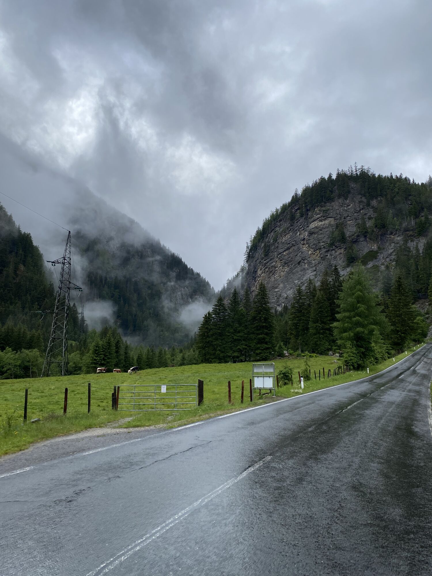
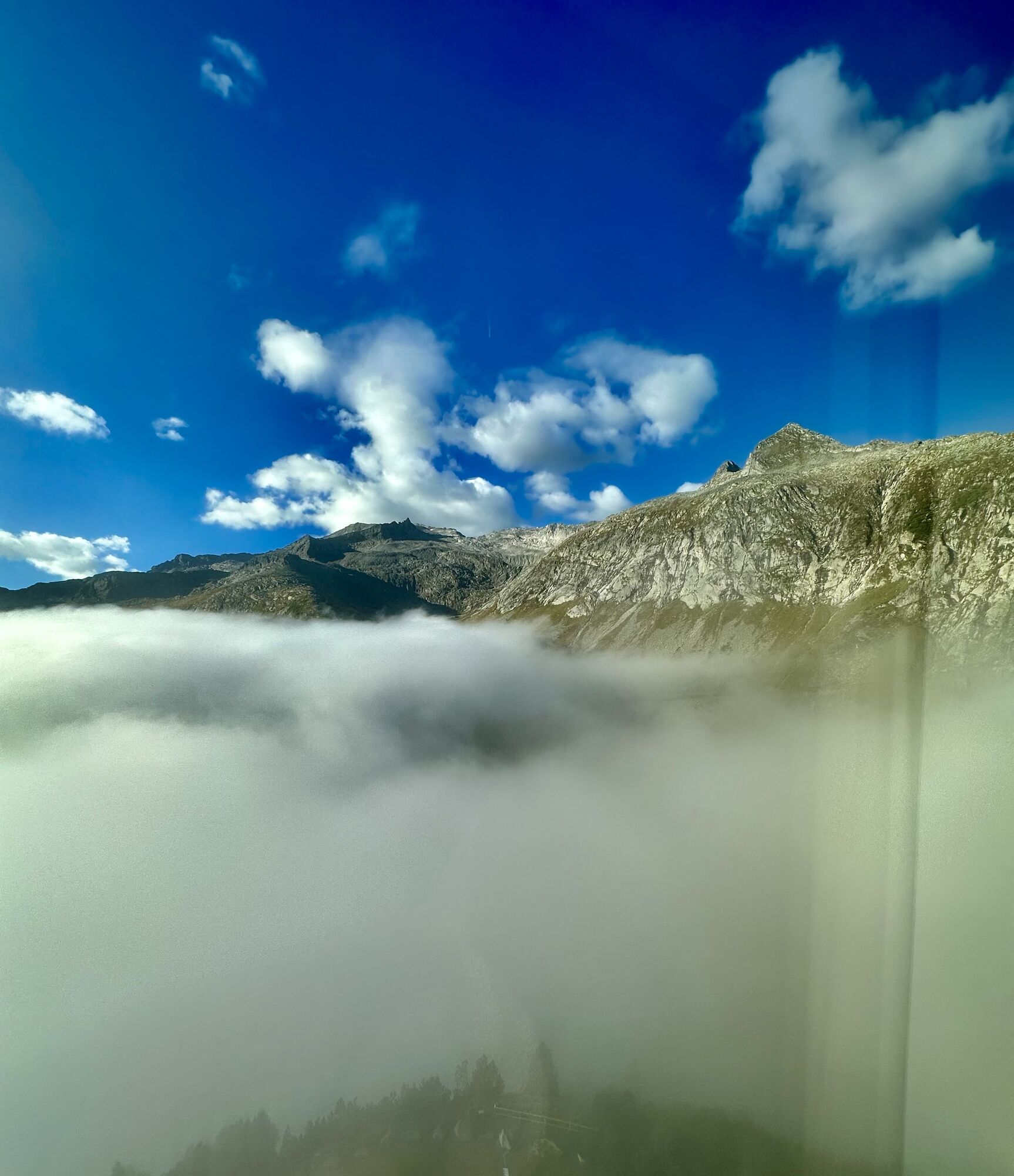
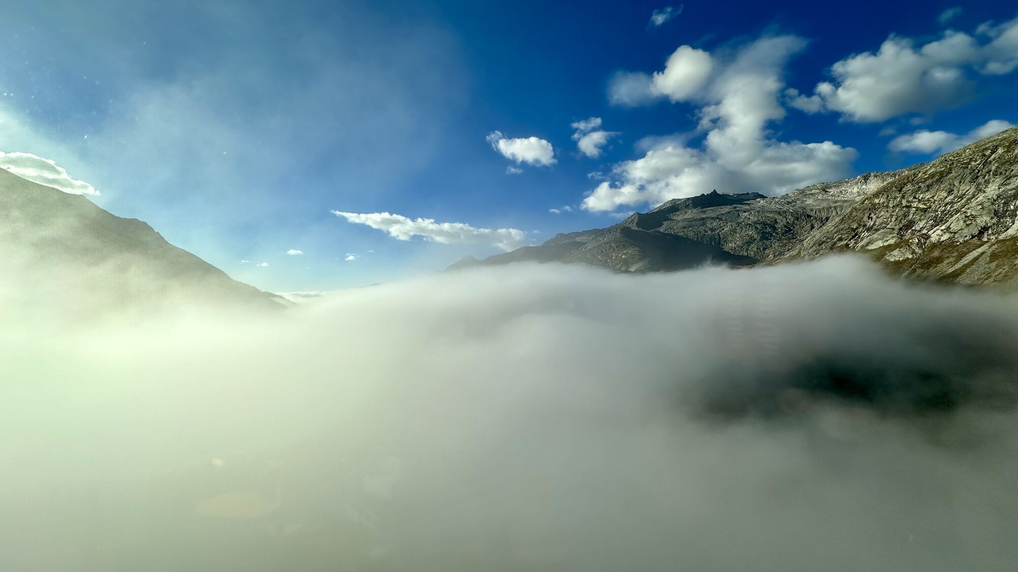
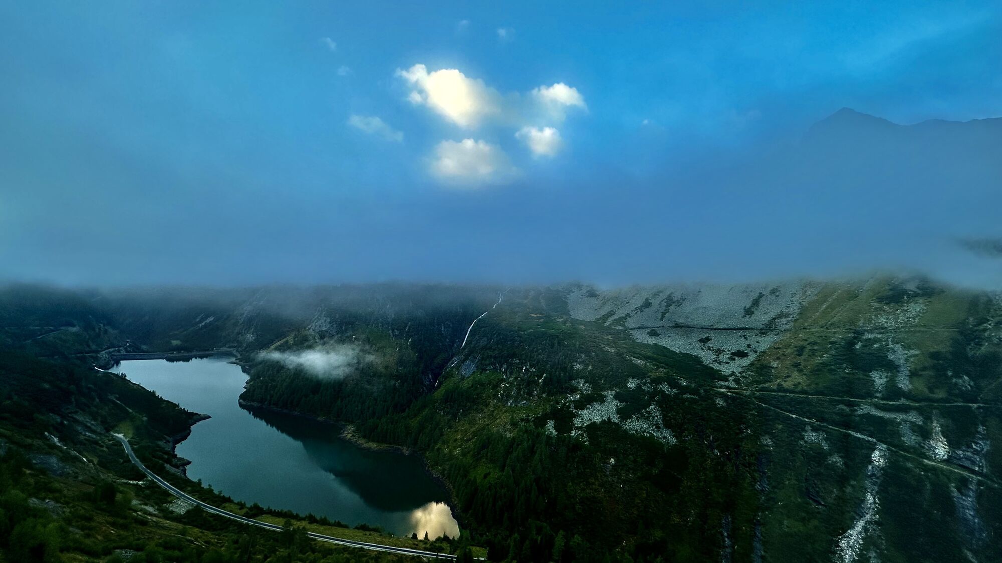
From the starting point Seeboden, there is a short climb up to Treffling where you follow the signs towards Perau or Gmünd. This very sparsely trafficked road through the "Platzgraben" is a secret tip...
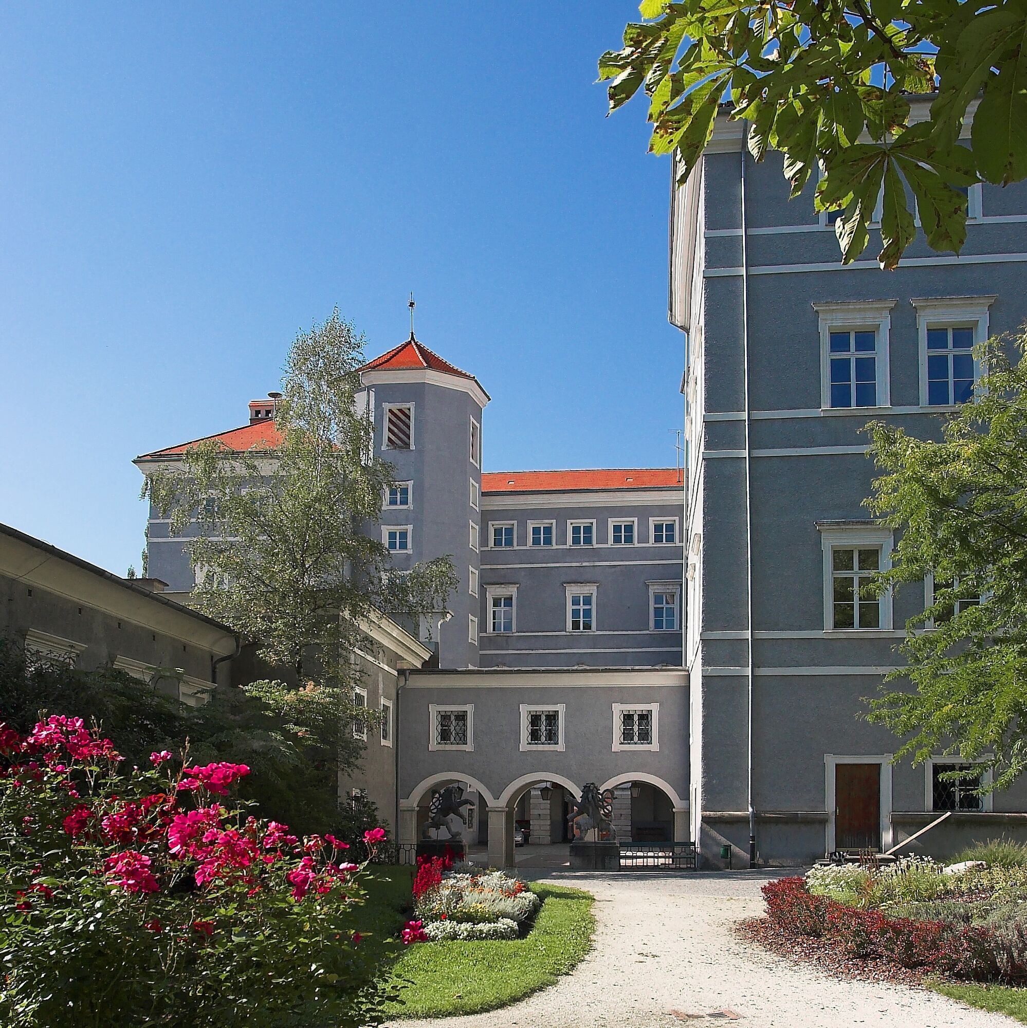
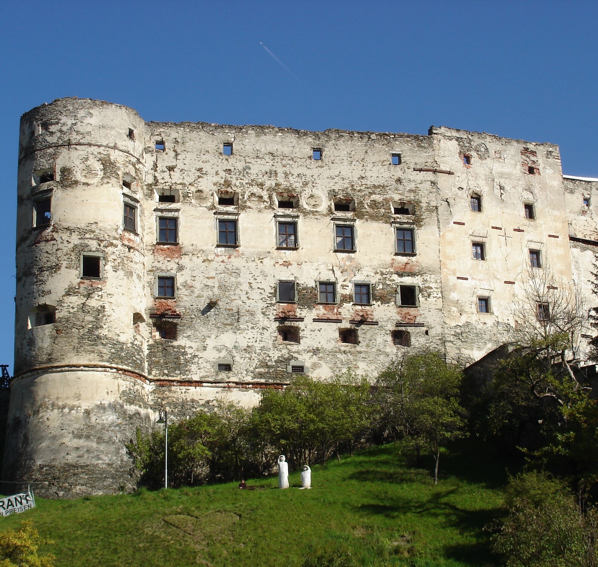
In the artist town of Gmünd, which is also considered the gateway to the two Carinthian national parks Hohe Tauern and Nockberge, you should take some time for a city tour to visit the numerous exhibitions and galleries or simply admire the excellently preserved medieval structures of the old town.
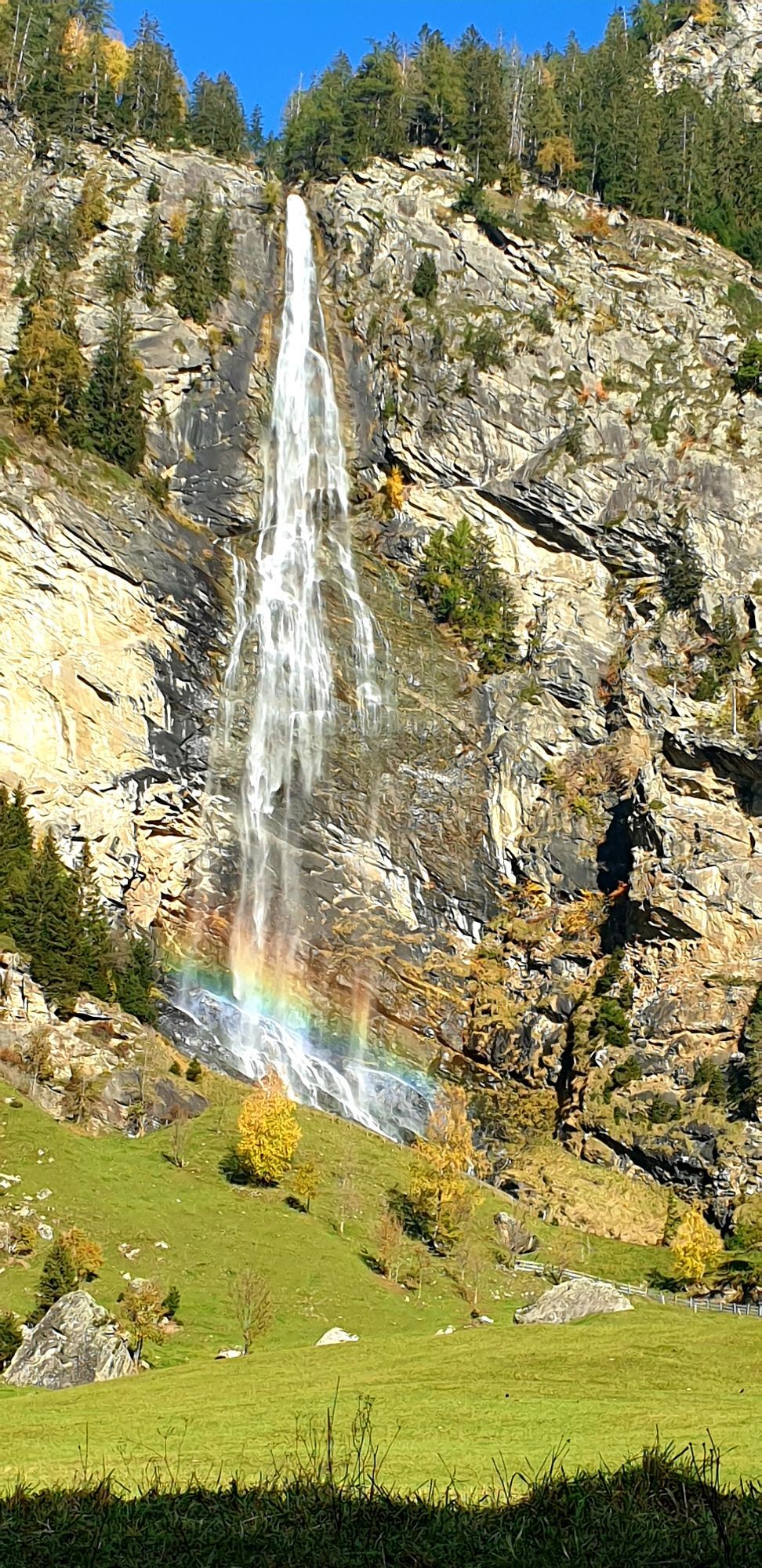
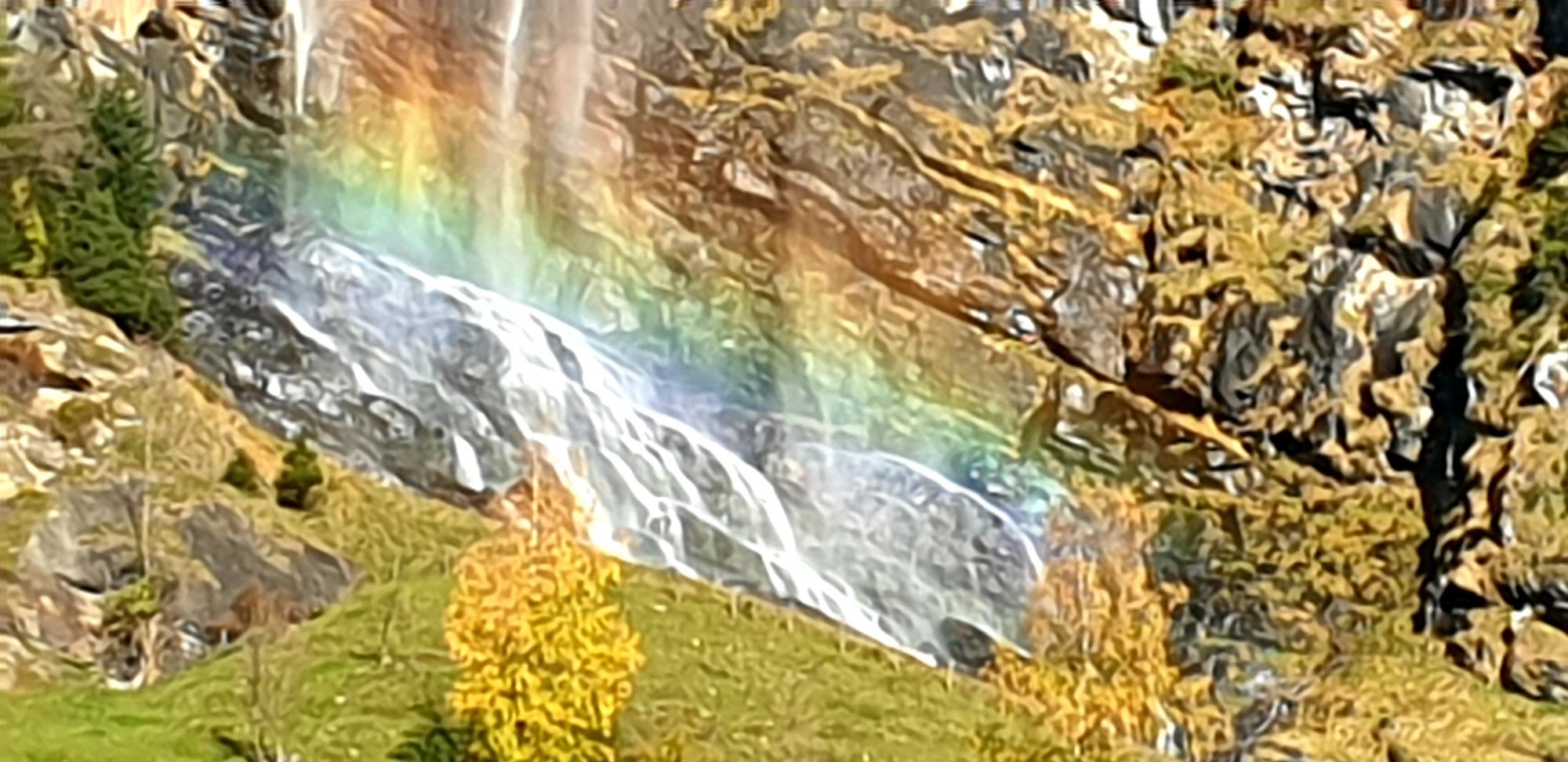
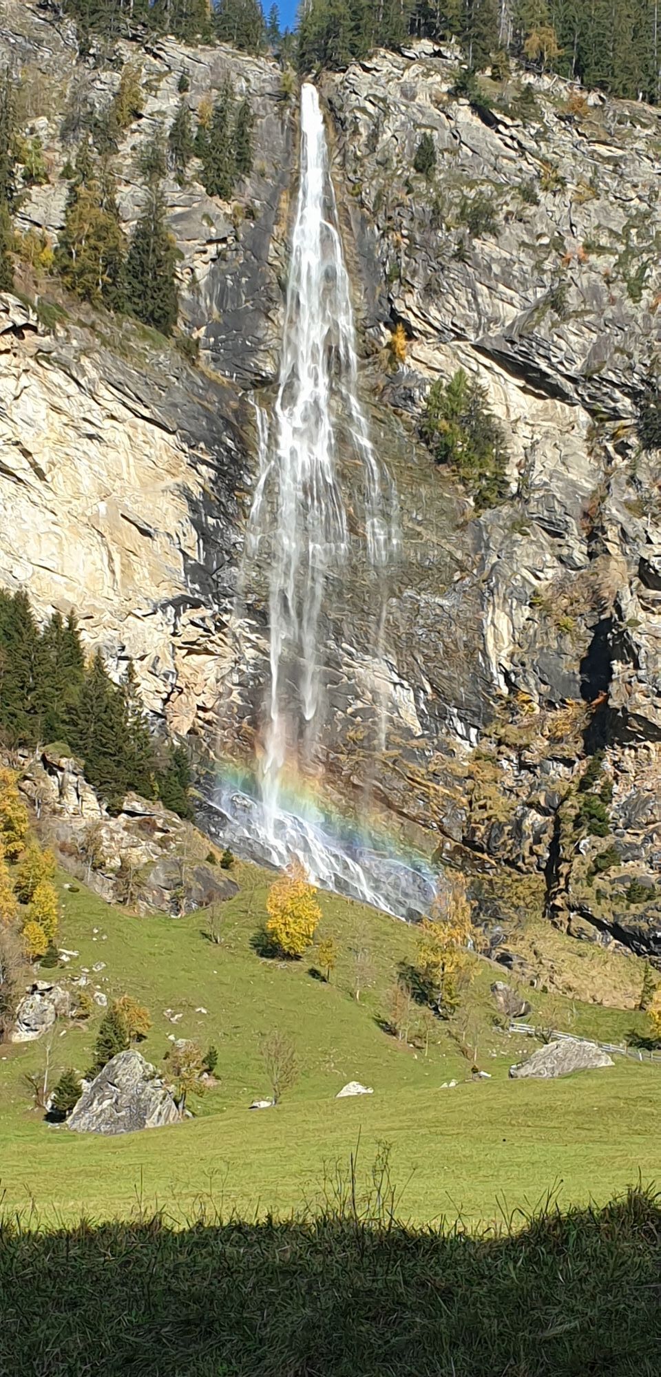
After that, you continue into the Maltatal, past the main town Malta, the Fallbach Waterfall, and other waterfalls to the toll station and thus to the beginning of the Malta High Alpine Road. The road is of course toll-free for cyclists, but especially in summer there is heavy motorized excursion traffic here. The Malta High Alpine Road is 14.4 km long from the toll station, with about 1,000 m of elevation to be covered, and the average gradient is therefore 8%. The High Alpine Road was originally built in the 1970s as a construction road for the erection of the dam and is today one of Austria's most popular excursion roads.
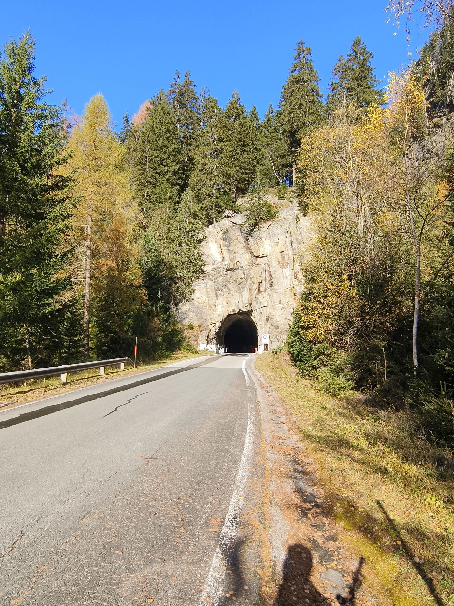
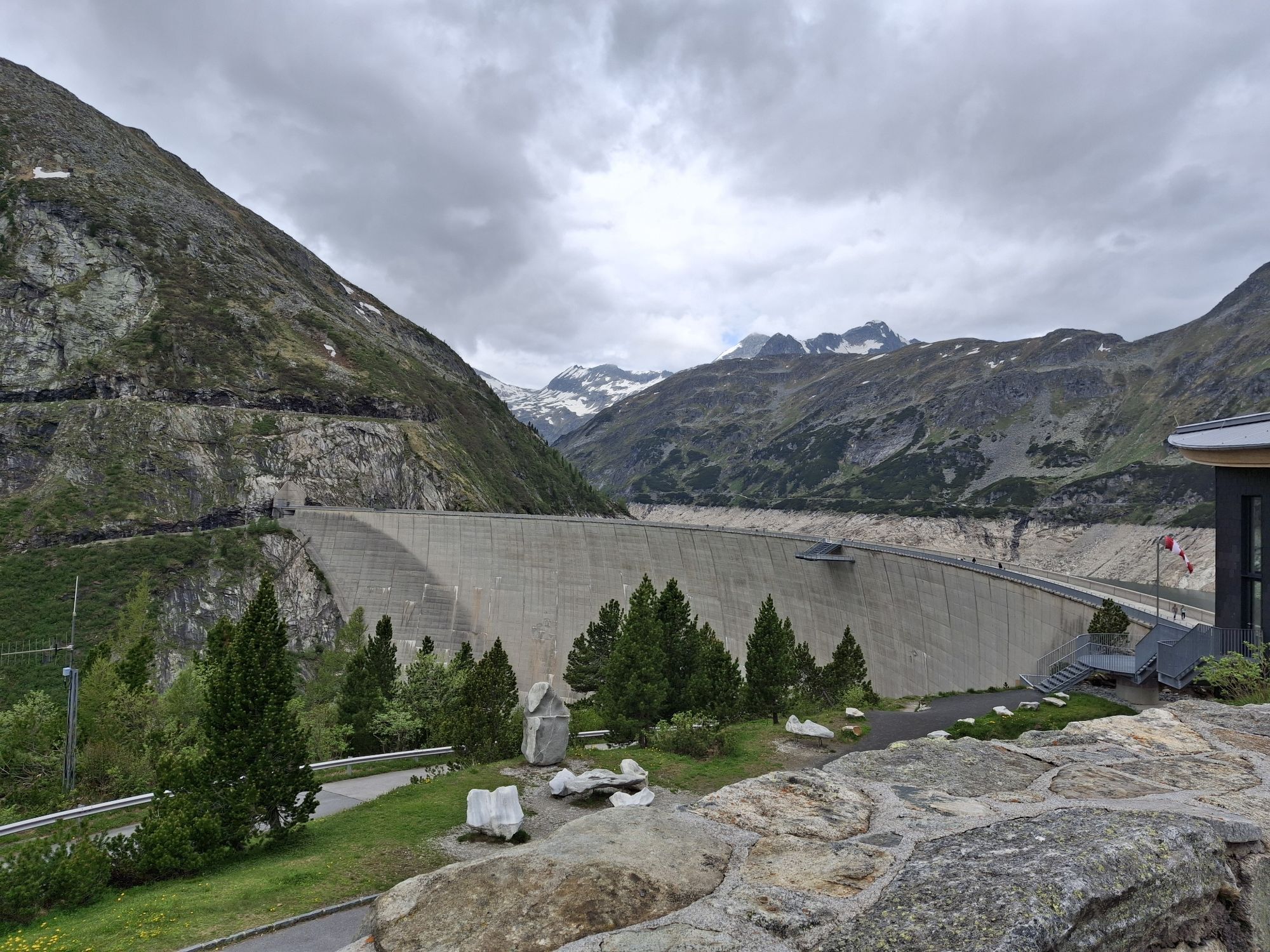
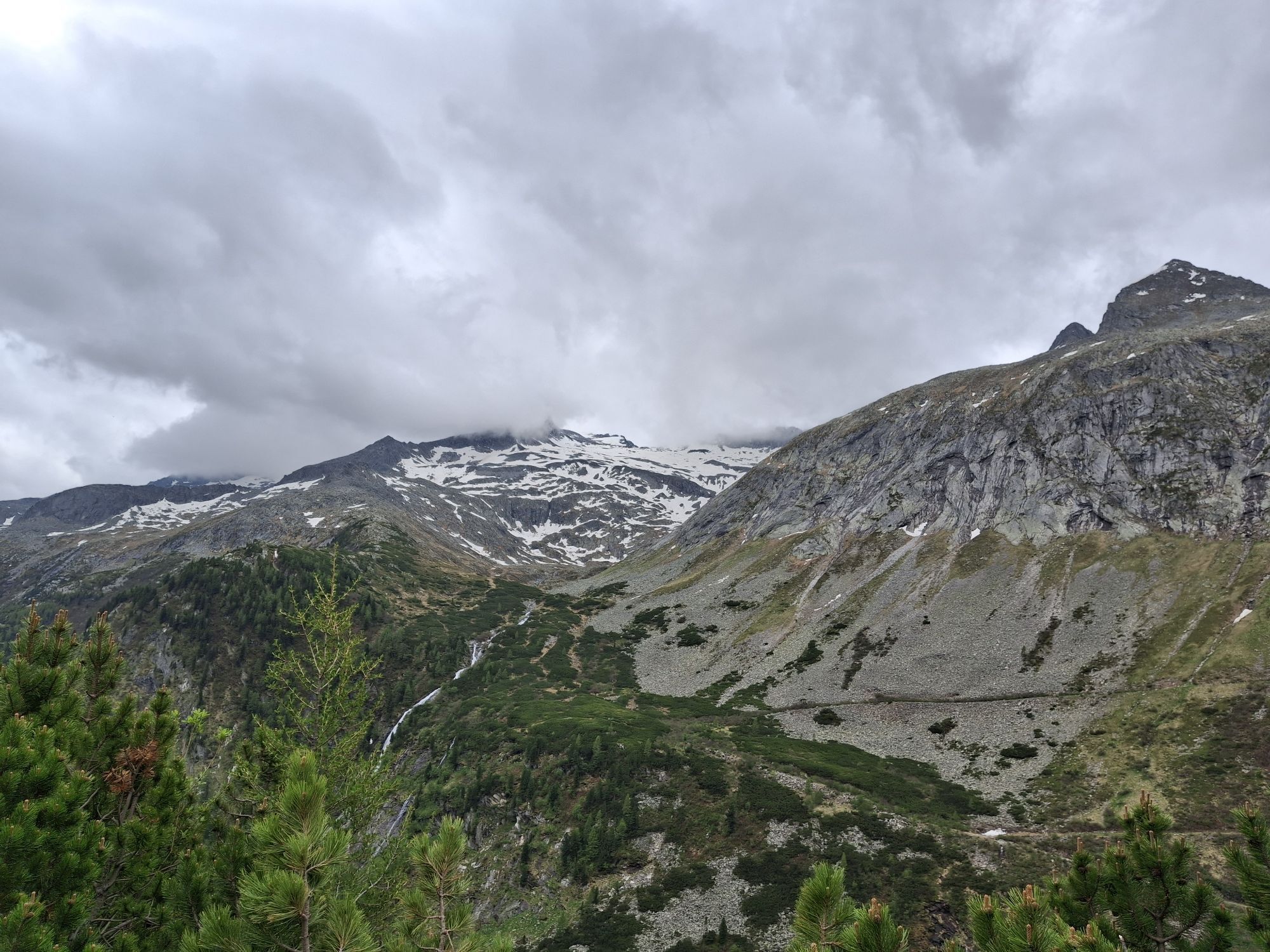
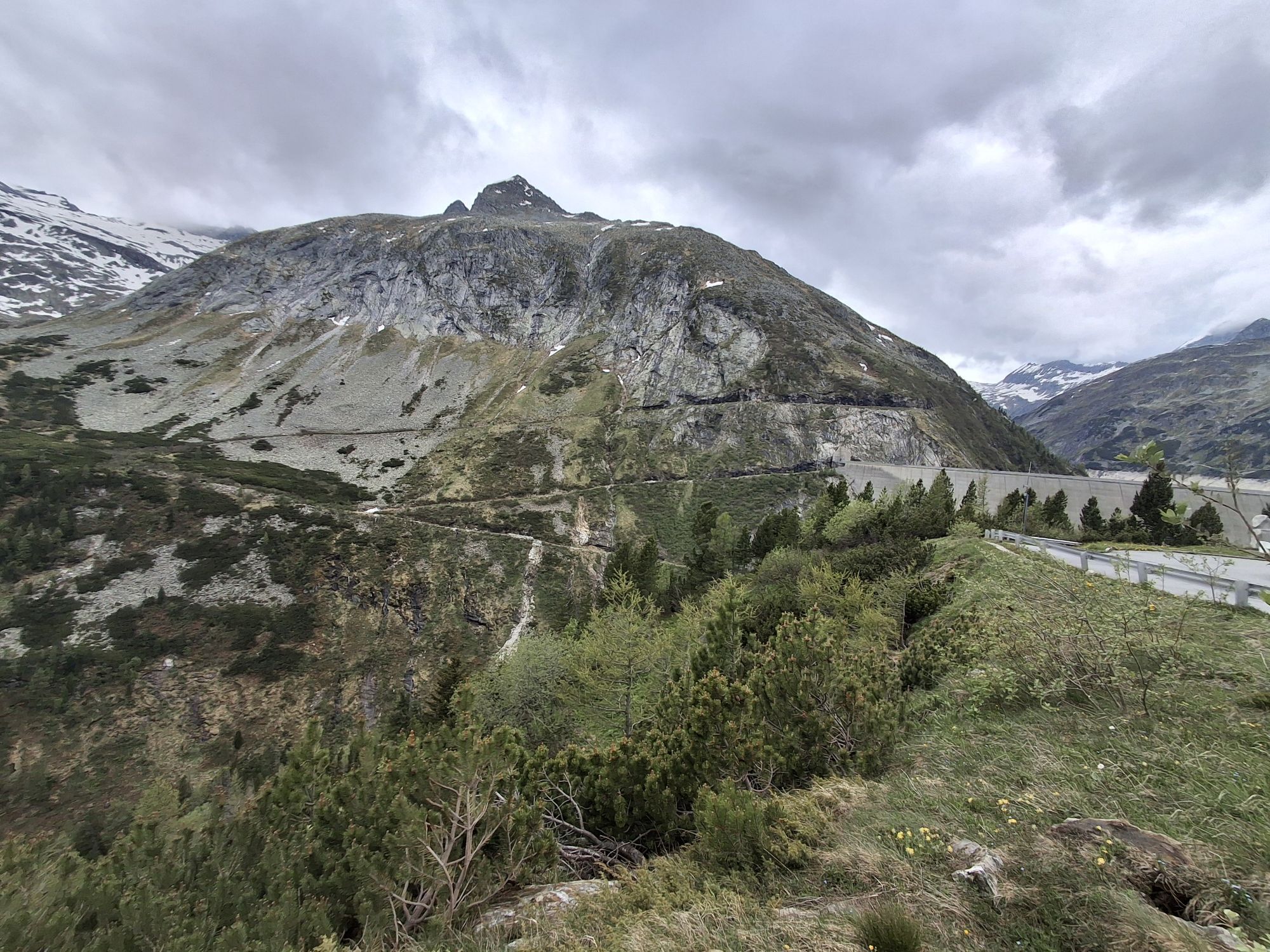
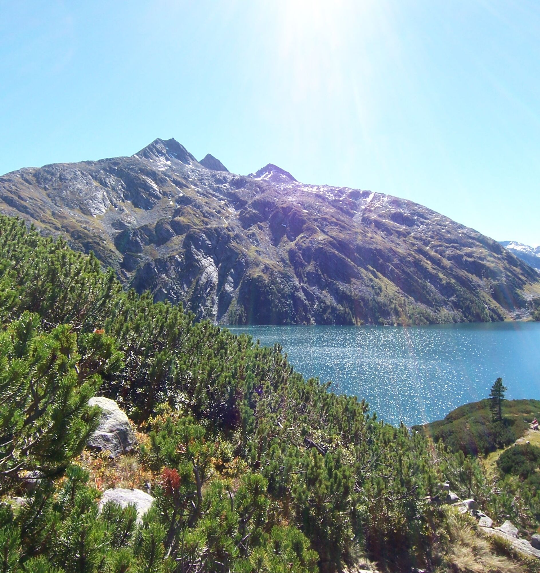
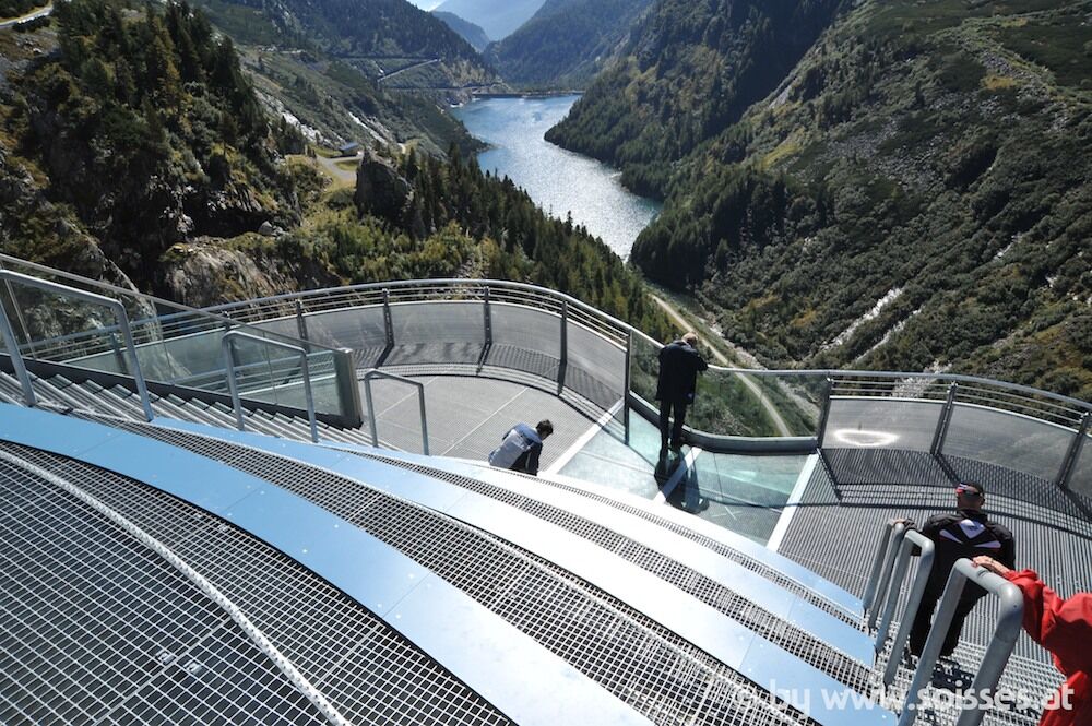
Shortly after the toll station, you reach the Malteiner Water Games, an adventure trail over five stations, which are partially very accessible from the road. Driving through the aforementioned six unlit tunnels gives the ascent an additional adrenaline kick, and in the end you have a perfect view of nature (Ankogel and Hafner group) and technology (Kölnbrein Dam, Galgenbichl pre-reservoir).
After a long rest with walking along the dam wall, the fast and partly dangerous descent back into the valley follows (wet sections; unlit tunnels; oncoming traffic), you leisurely roll along the Malta river to Gmünd and then through the Lieser valley on the B99 back to the starting point.

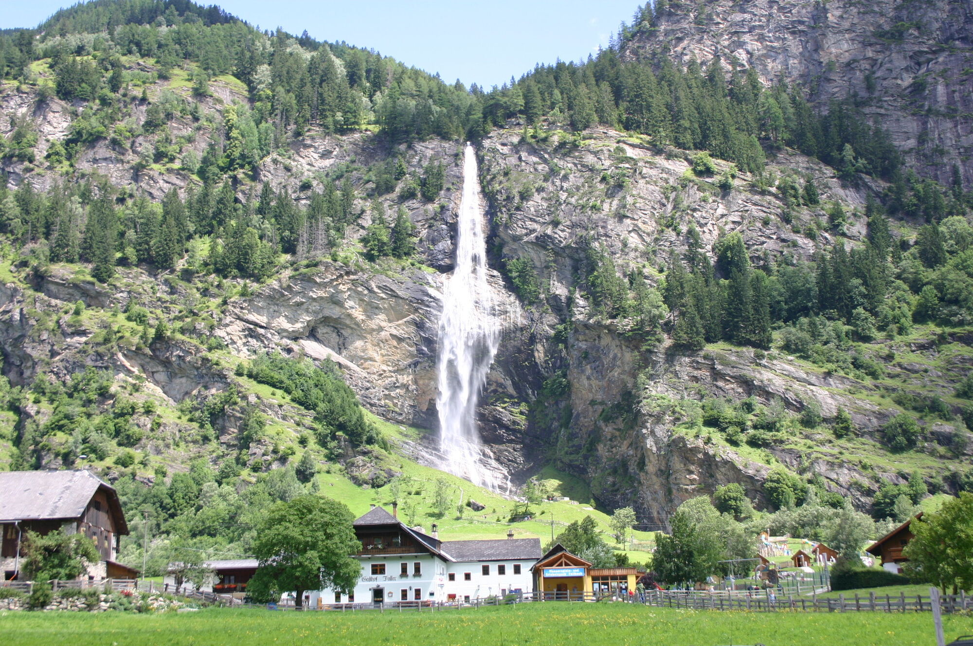


Seeboden - Treffling - Perau - Gmünd - Malta - Malta High Alpine Road - Kölnbrein Dam - Malta - Gmünd - Trebesing - Seeboden
Da
Six unlit tunnels, the longest about 500 m long, must be passed on the Malta High Alpine Road!
6
www.verbund-tourismus.at
Walking on the dam or Skywalk
 Pridobite vpogled Vedno v živo na mestu z več kot 9.500 spletnimi kamerami. bergfex Kot uporabnik Pro si lahko zdaj ogledate ustrezne spletne kamere za številne izlete v aplikaciji izleti iz. Tako si lahko neposredno ogledate trenutne razmere.
 Priljubljeni izleti v okolici
- 5.0
Bella Vista auf Hohe Leier
srednjaVia ferrata 15.6 km - 4.0
Barbarossa Gorge near Mühldorf/Mölltal
svetlobaPohodništvo 2.74 km - 4.5
Großer Hafner 3076m
srednjaPohodništvo 17.3 km - 5.0
Bergfried Hütte, Stoder 2433, Gmeineck 2592
težkoPohodništvo 8.23 km - 4.4
Tschiernock, Hochpalfennock, Tschierwegernock, nock nock nock ... ;)
svetlobaPohodništvo 10.4 km - 4.9
Family bike ride along the bike path R9B Gmünd - Maltatal
srednjaKolesarjenje 33.8 km - 4.3
Hike Frido Kordon Hut - Stubeck summit (2,370 m)
srednjaPohodništvo 8.11 km - 3.6
Hochalmspitze from the Gießener Hut (ascent via Detmolder Ridge, descent Steinernes Mandl)
težkoPohodništvo 13.4 km - 4.4
Tour Pöllatal zur Kochlöffelhütte
svetlobaPohodništvo 11.0 km - 4.5
From Maltaberg to the Reitereck (2,790 m)
težkoPohodništvo 6.44 km
Pohodništvo in sledenje


Ne zamudite ponudb in navdiha za naslednje počitnice
Vaš e-poštni naslov je bil dodan na poštni seznam.





