


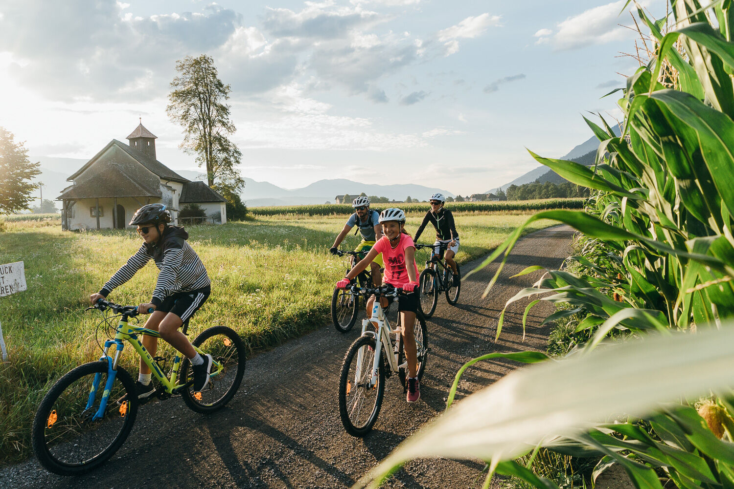
Leisure & Bike Sprinter Hohe Tauern
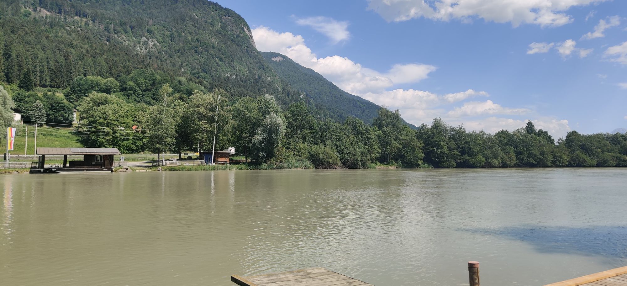

The train is equipped with a wagon with over 200 bike spaces and takes guests in about an hour (only one stop in Spittal) from Villach to Mallnitz. Connections from various Carinthian valleys and towns...
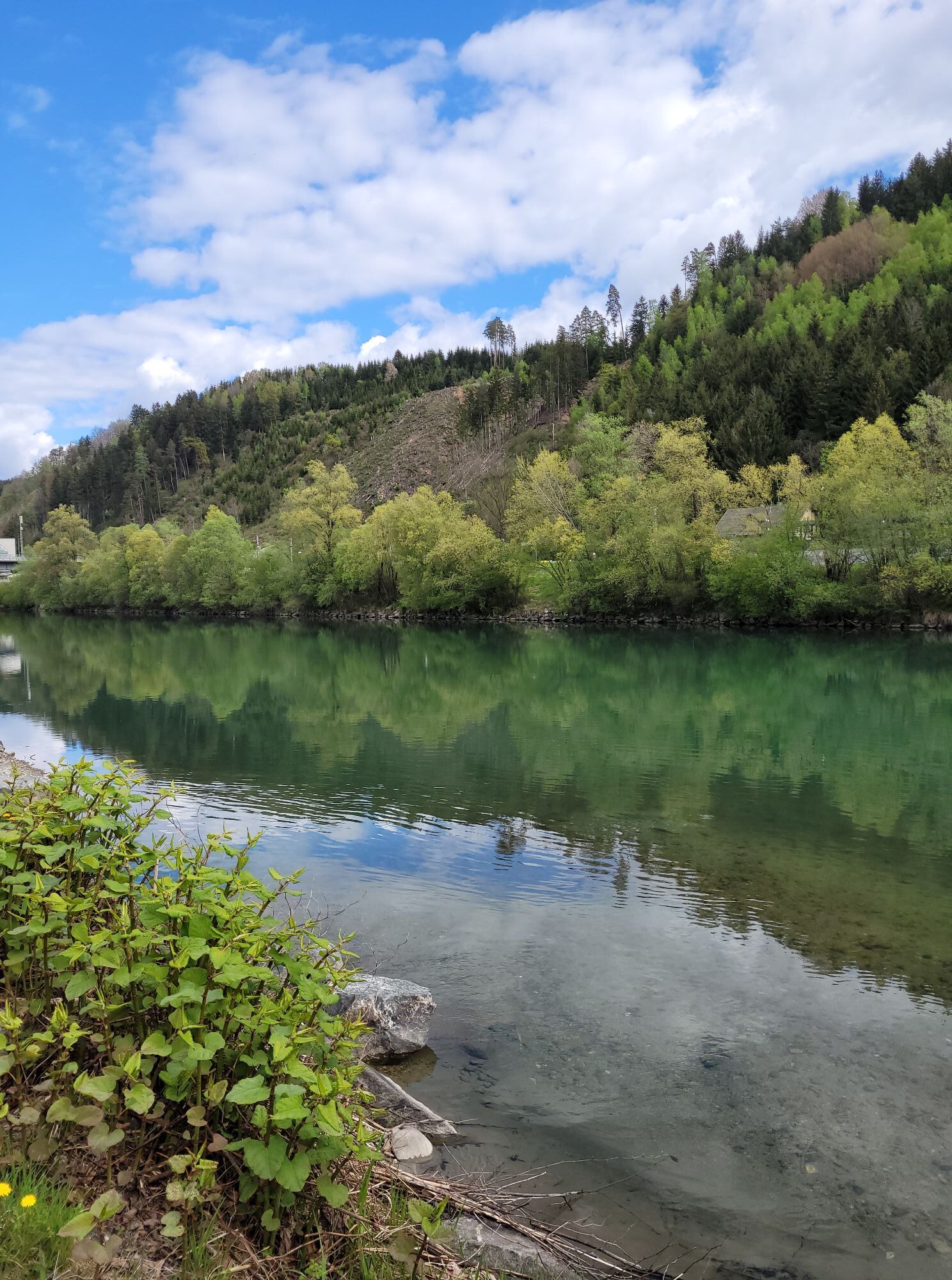
The train is equipped with a wagon with over 200 bike spaces and takes guests in about an hour (only one stop in Spittal) from Villach to Mallnitz. Connections from various Carinthian valleys and towns (Hermagor, Klagenfurt, Rosenbach, Feldkirchen, etc.) are guaranteed. Back to Villach it goes from Mallnitz along the very well-developed bike paths through the Möll and Drau valleys either by bike, or after a hike in the National Park again by train. Learn more about the leisure & bike sprinter here: radland.kaernten.at/de/trekkingrad/fr...


By train from Villach twice daily to Mallnitz and back.
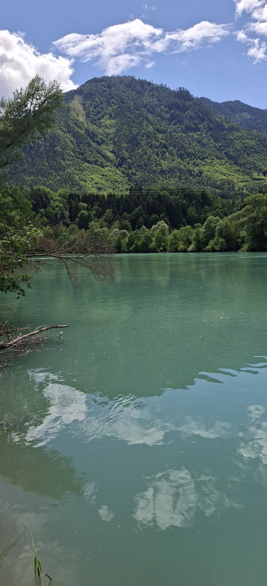
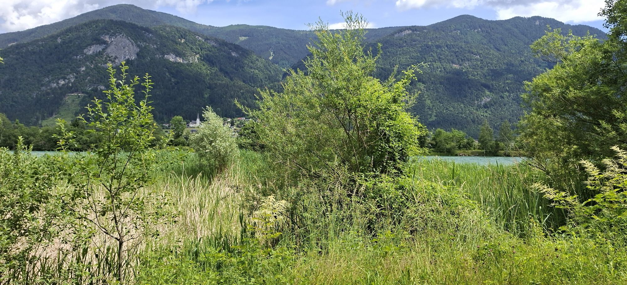
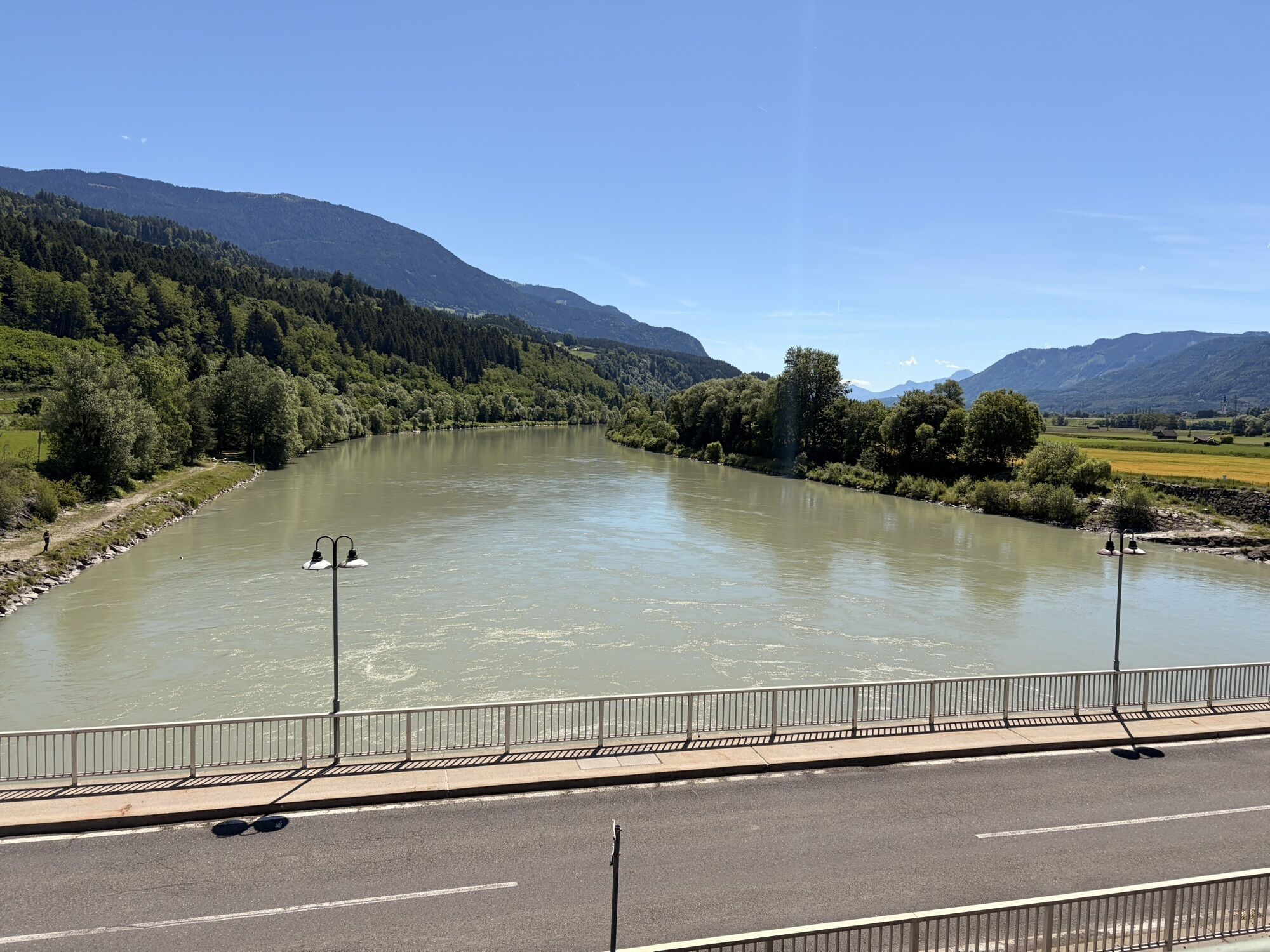
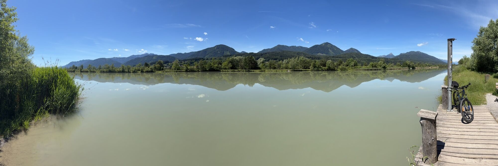
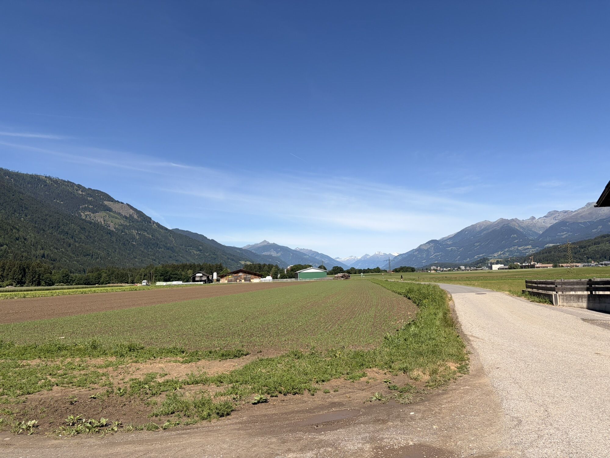
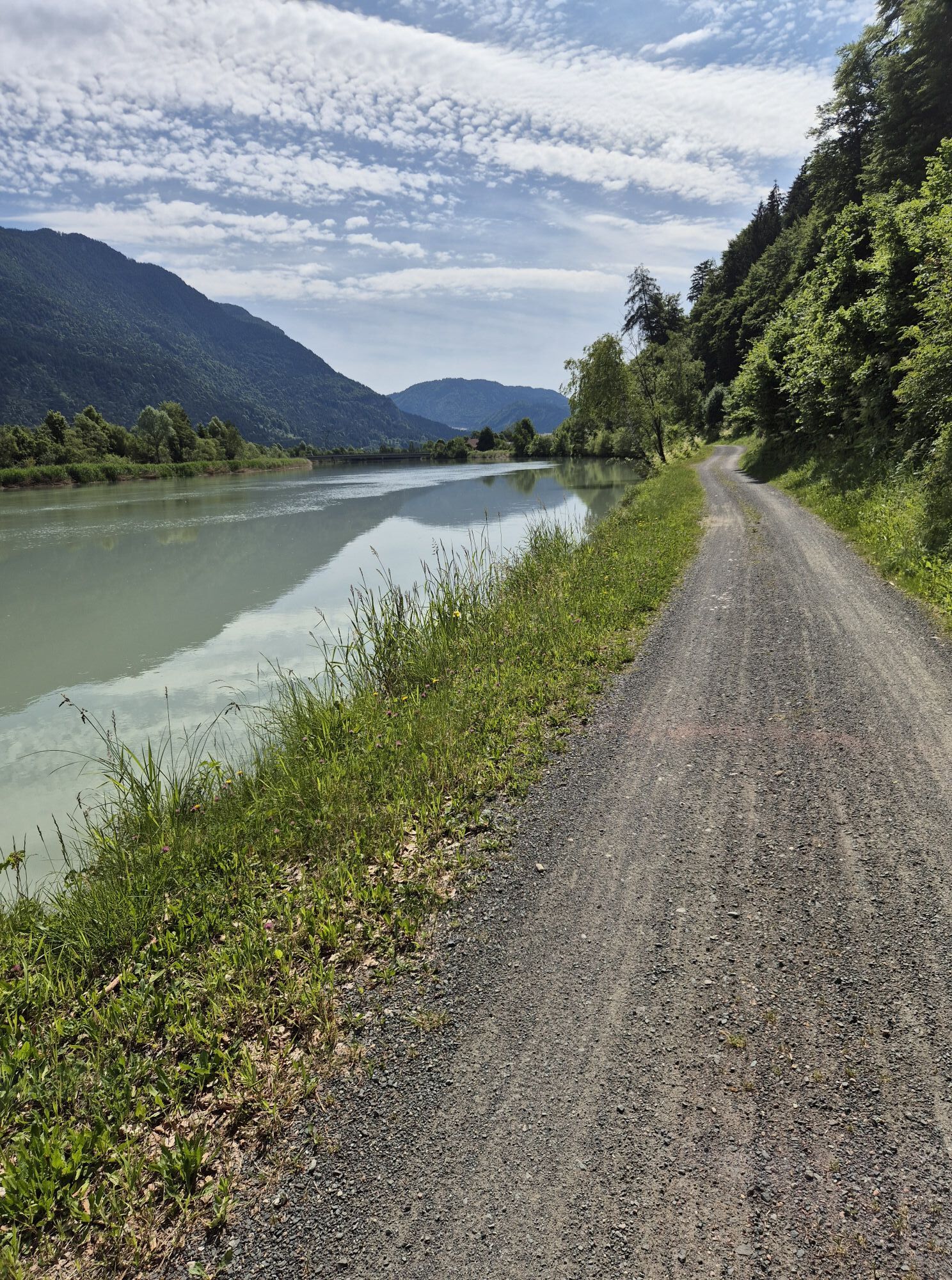
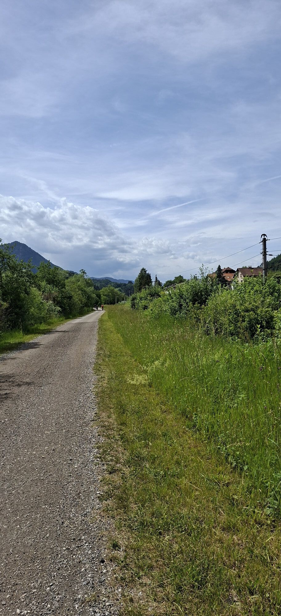
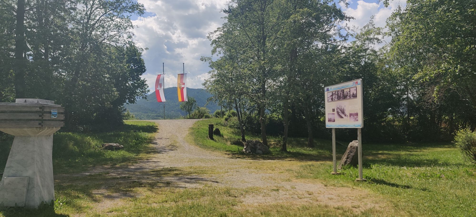
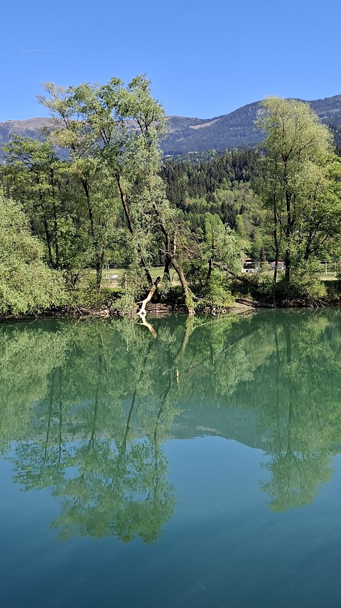
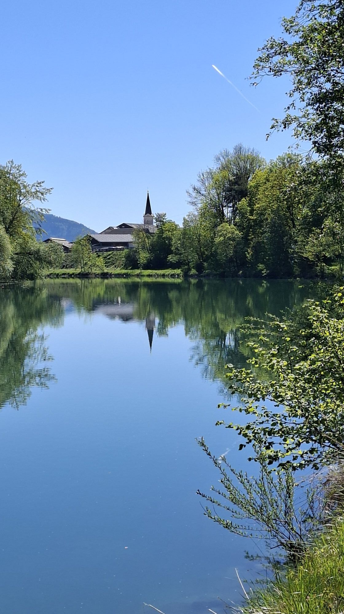
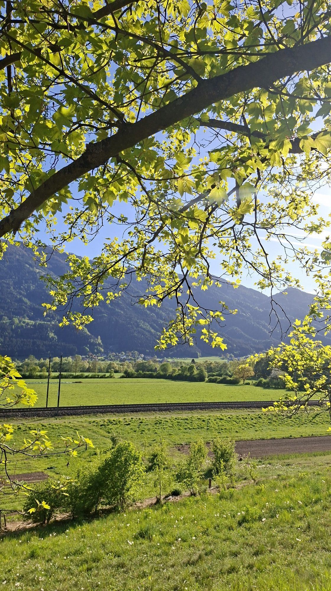
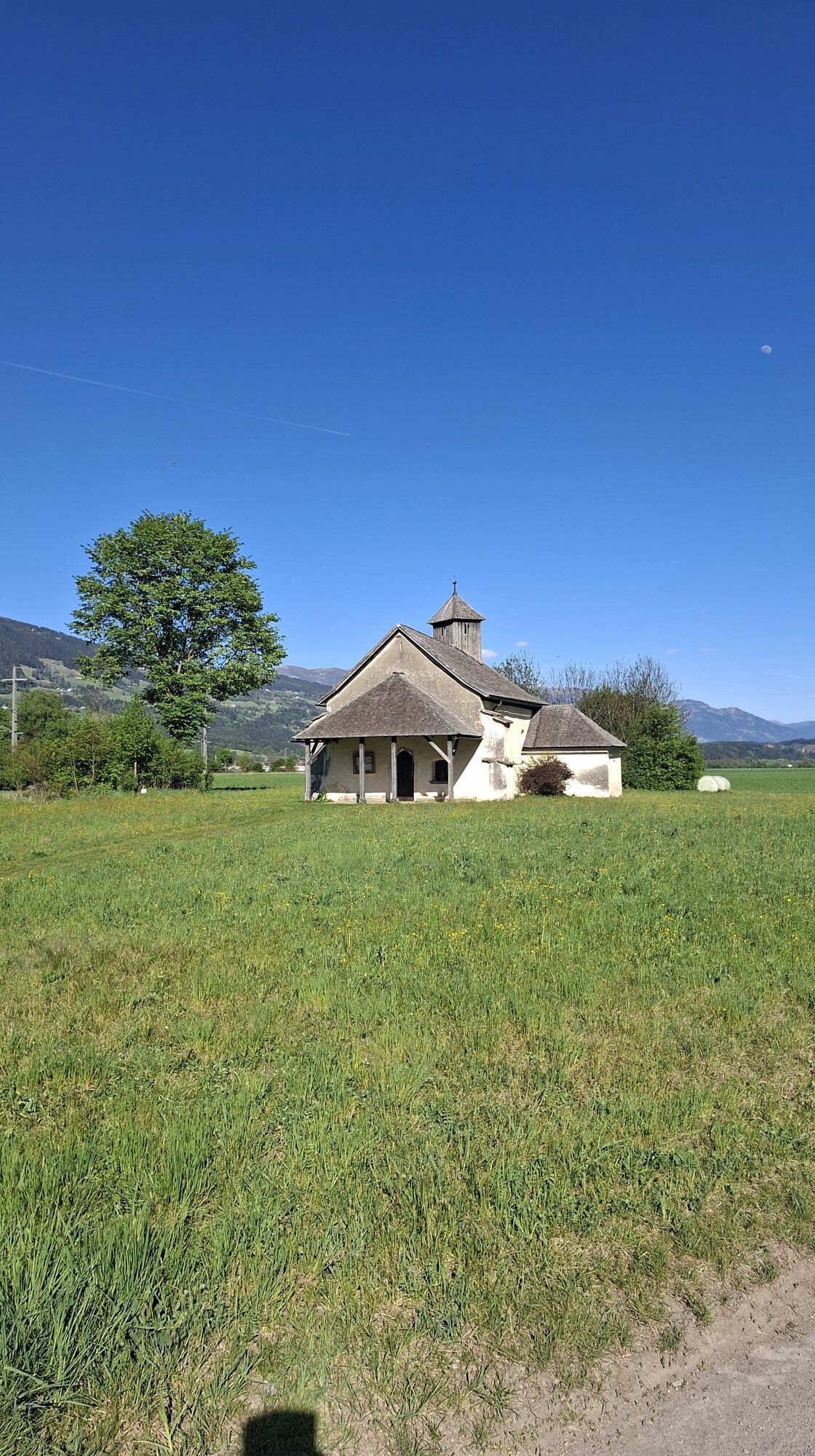
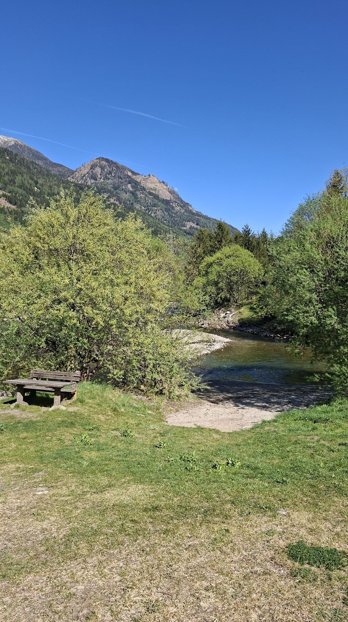
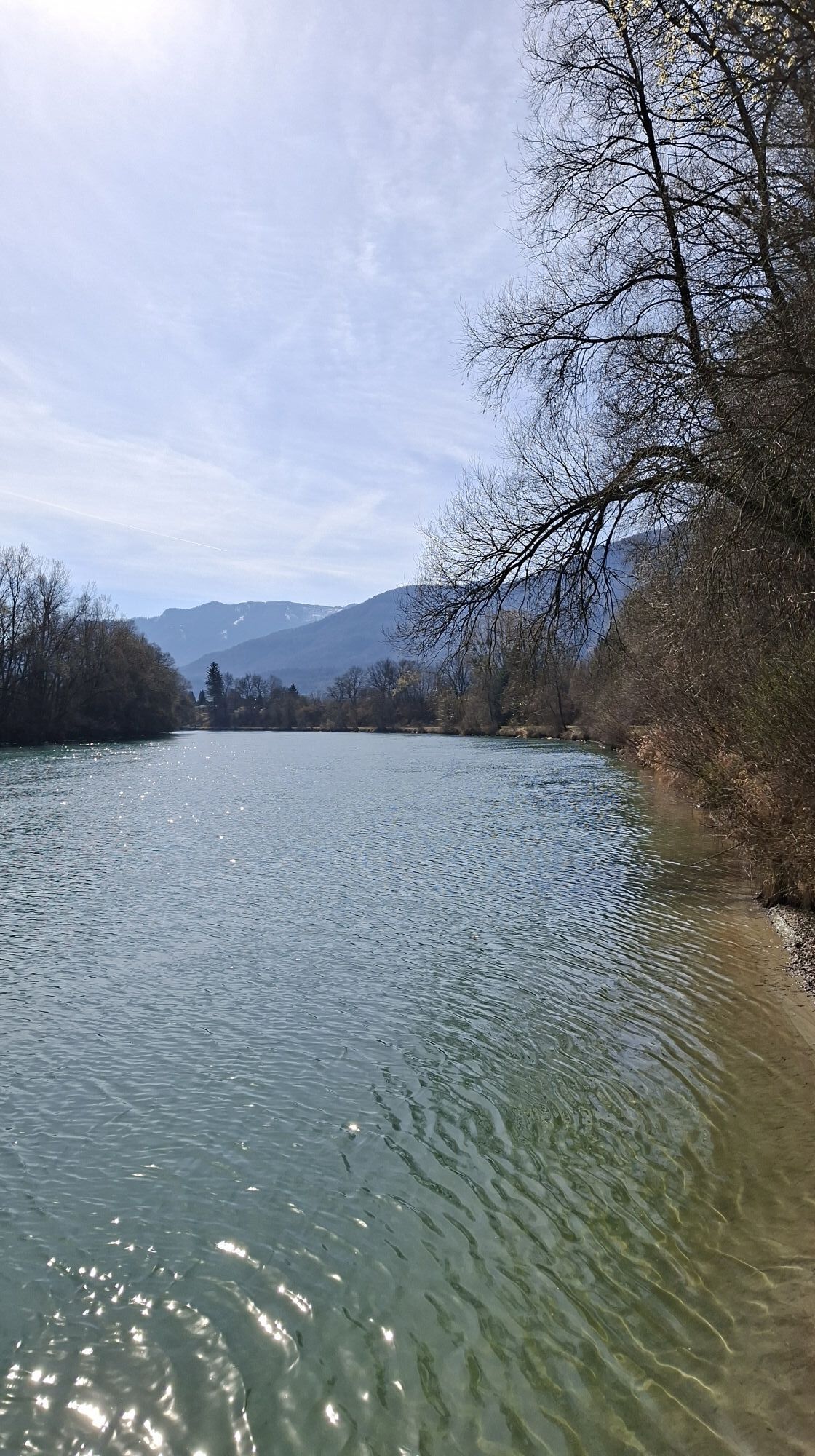
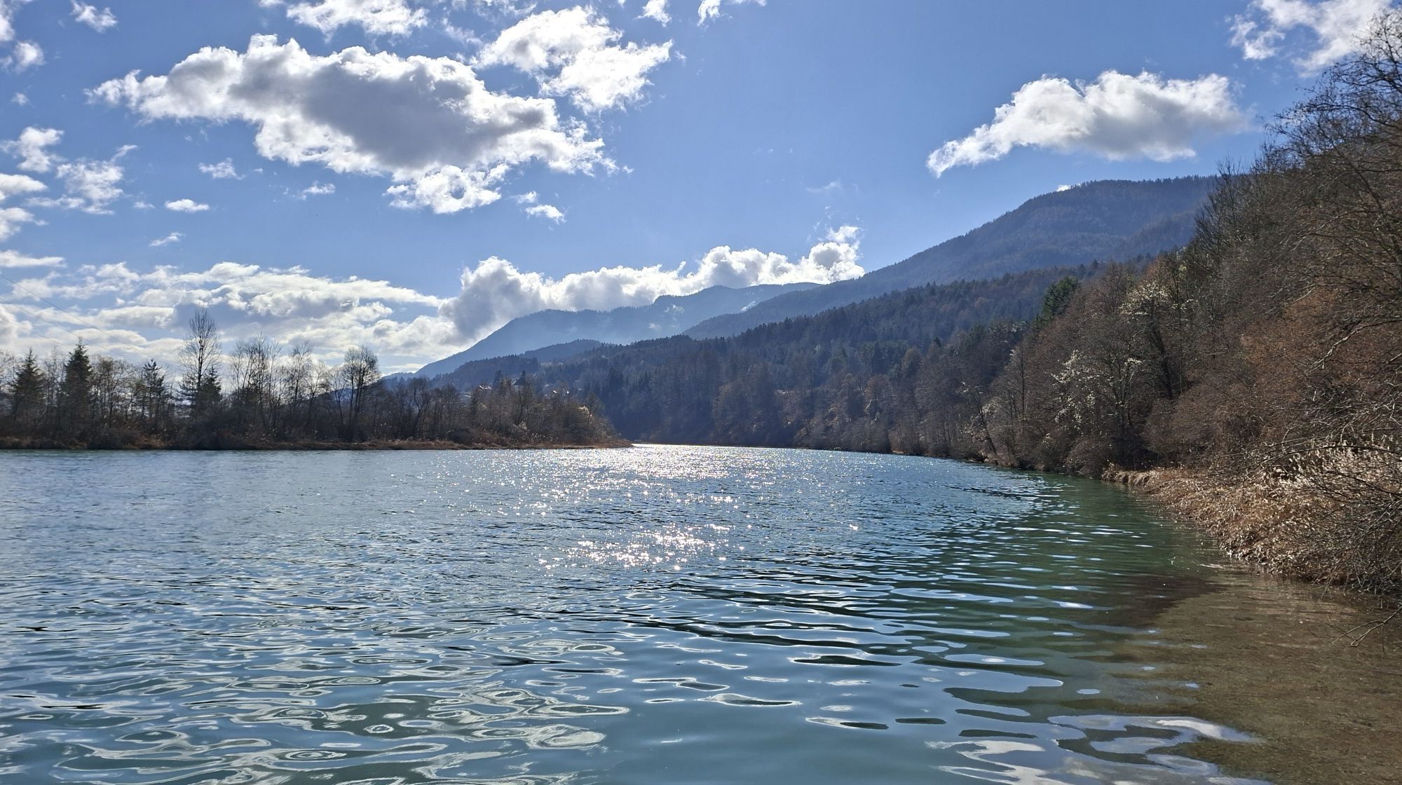
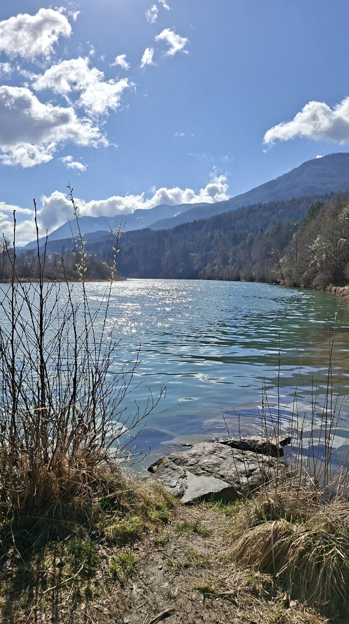
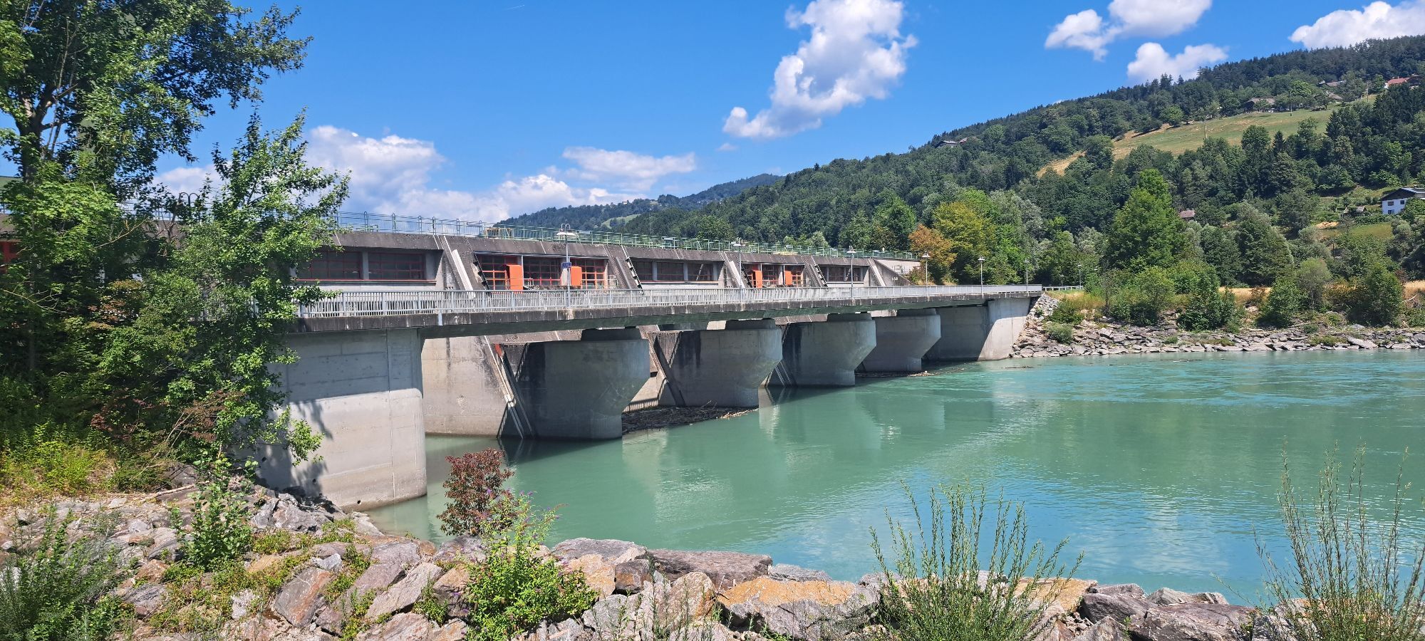
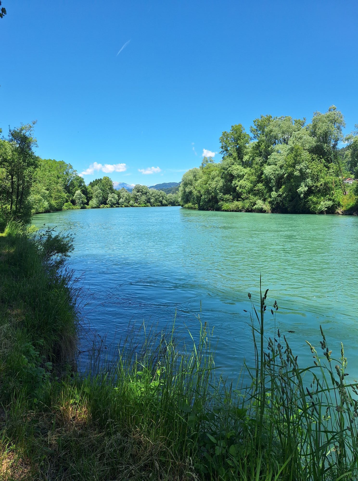
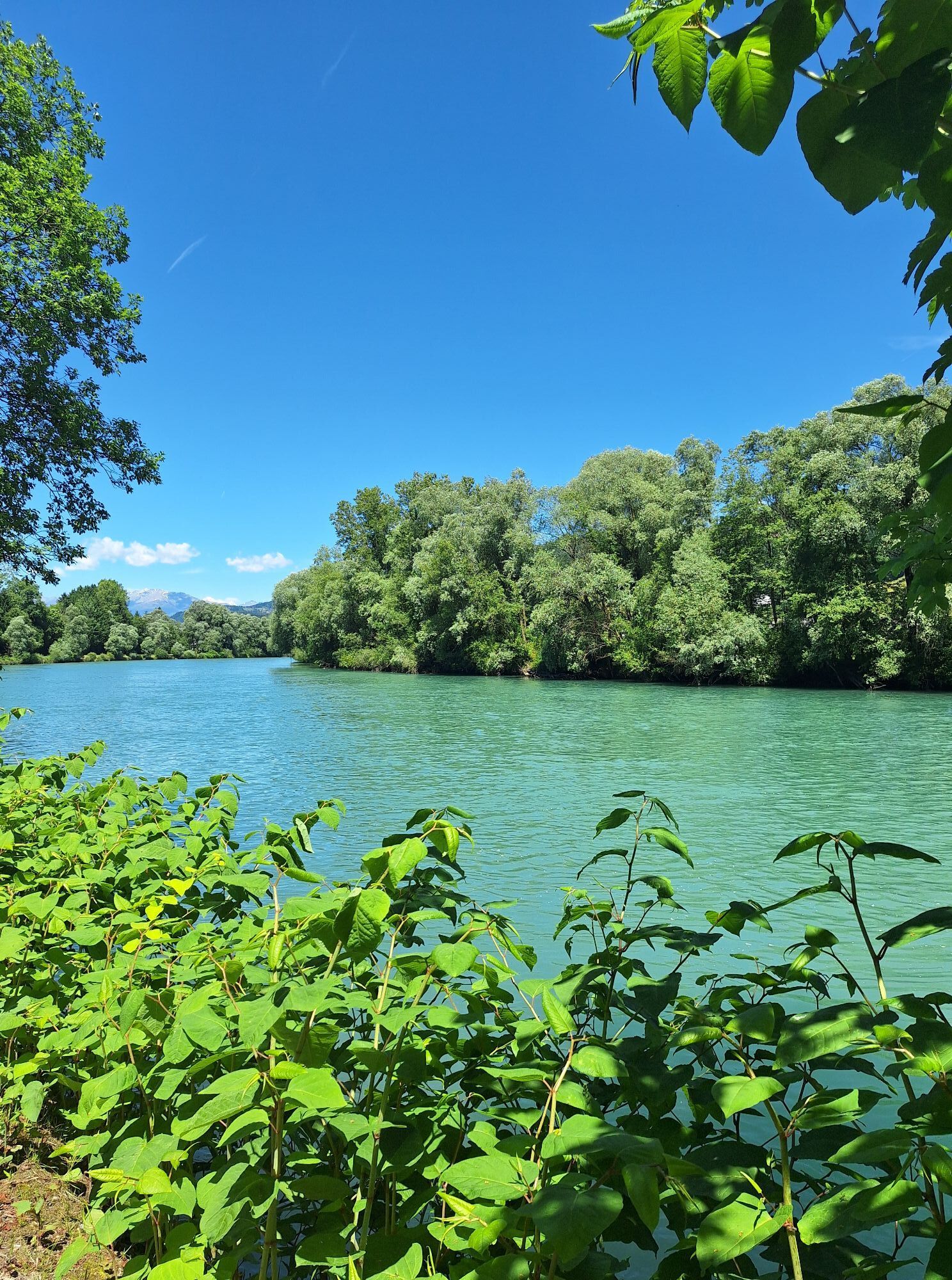
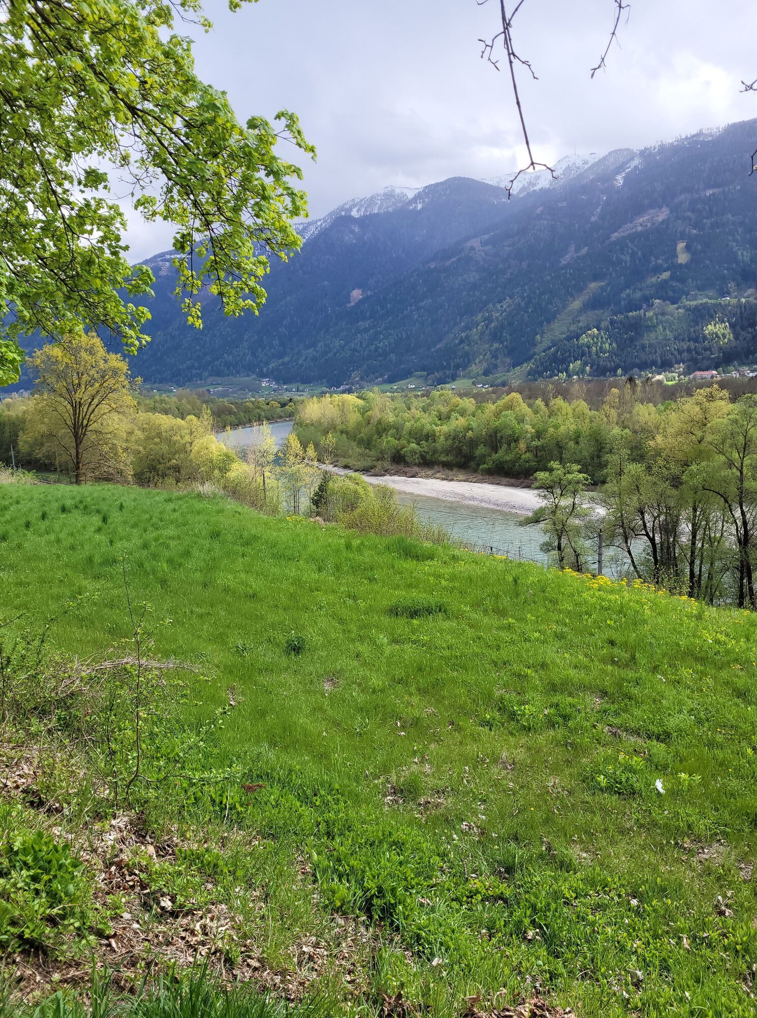
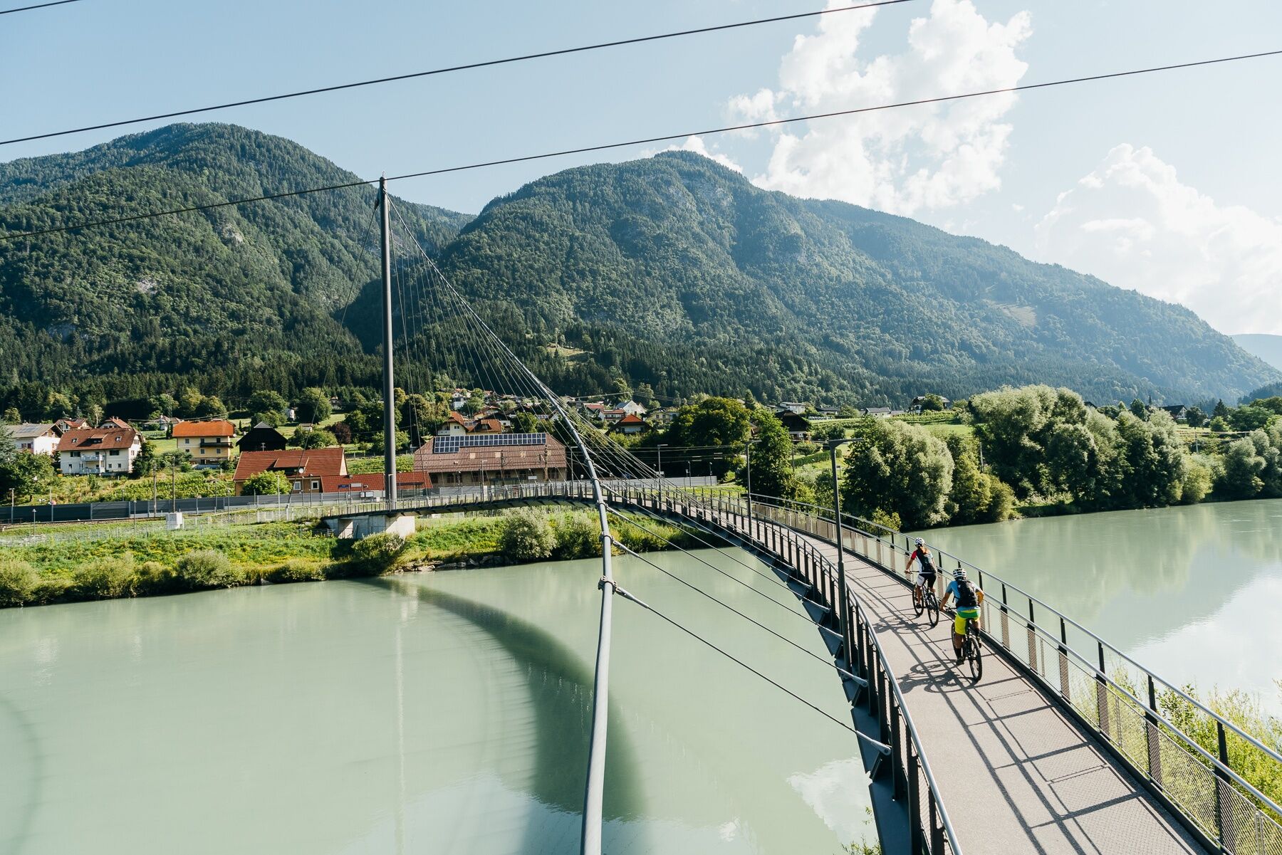
Bike path: from Mallnitz take the rapid descent down to Obervellach, then follow the signposted and well-developed Möll Valley bike path (R8) to Möllbrücke. In Möllbrücke, then follow the 5-star Drau bike path to Villach.
Da
Da
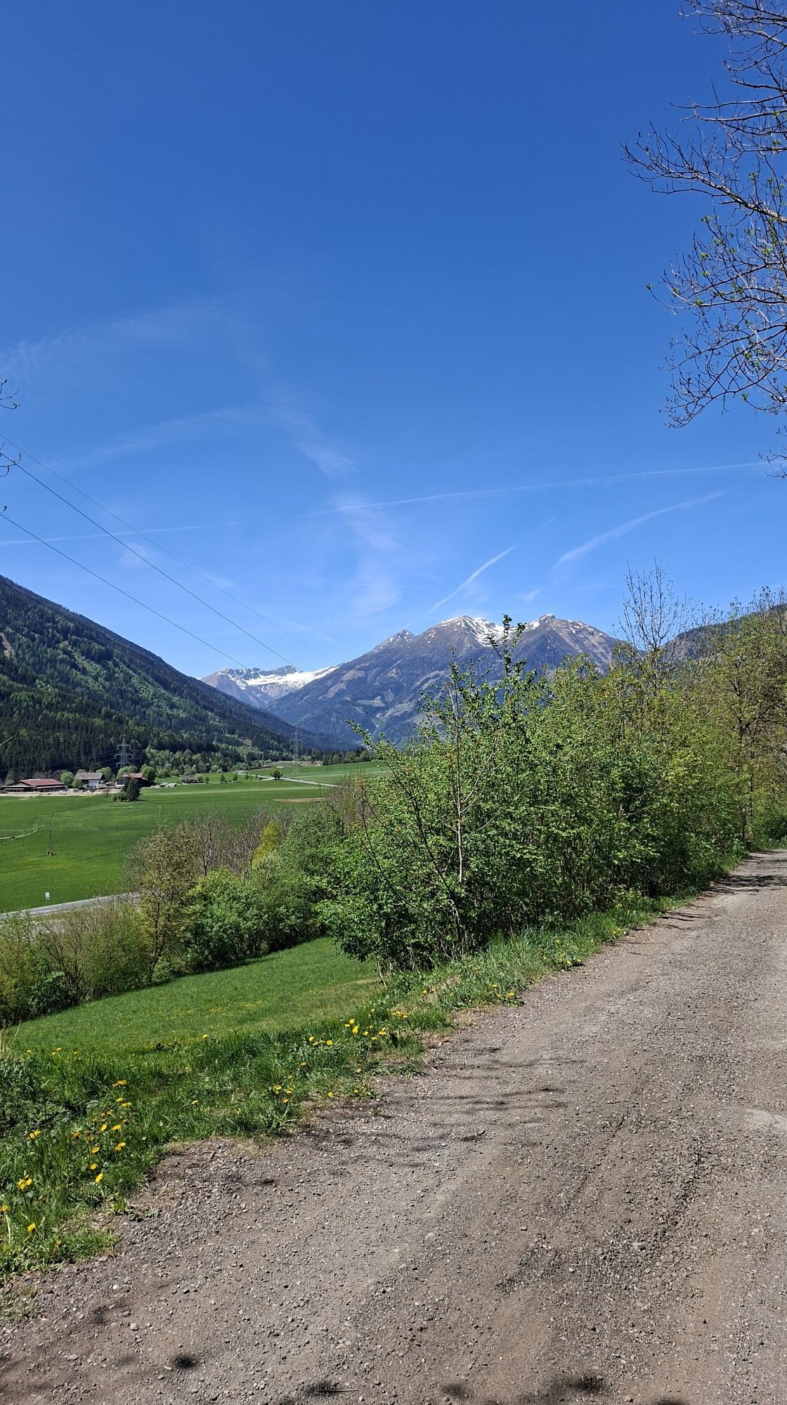
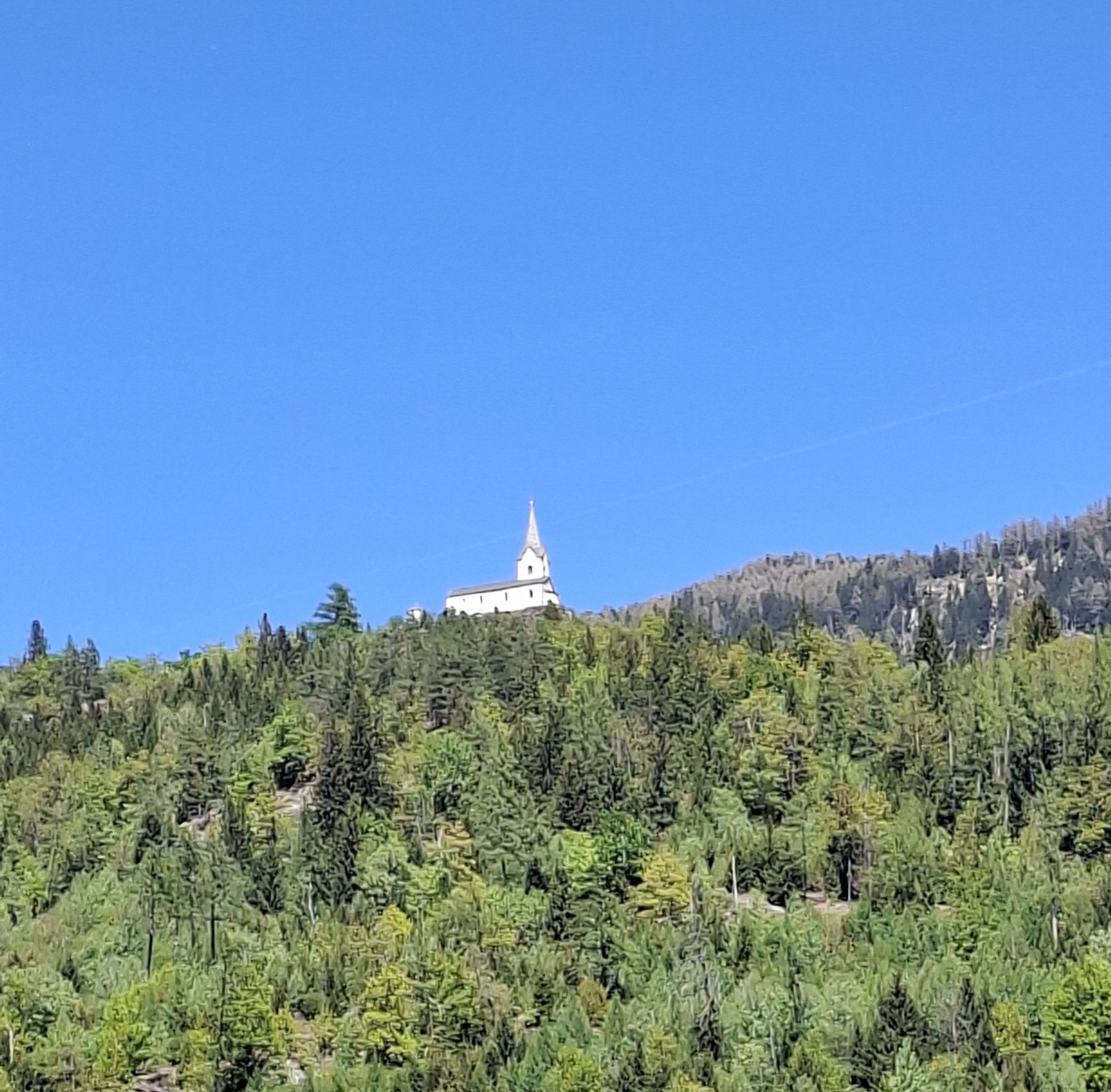
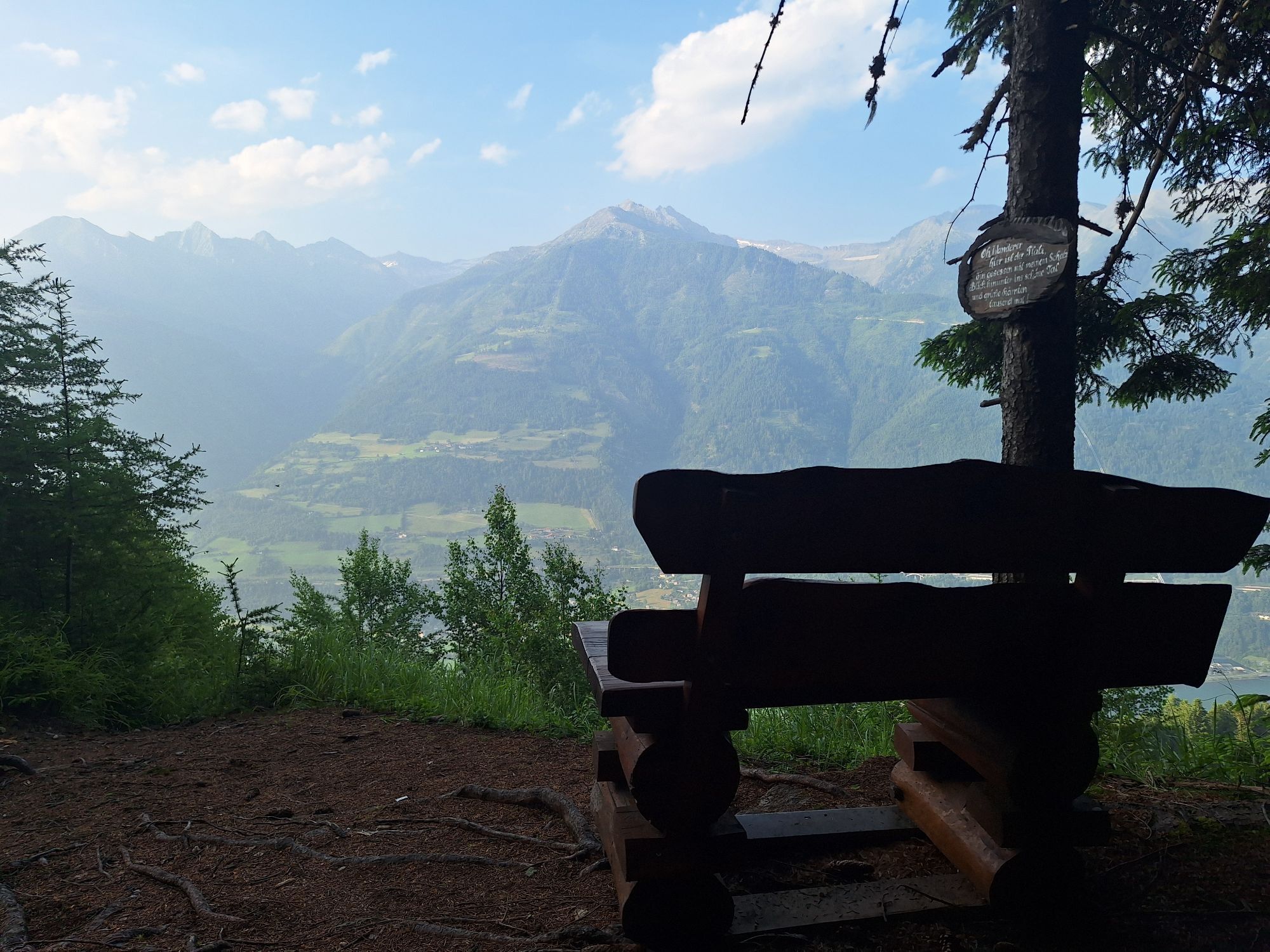
Mallnitz is located at 1200m altitude, so please bring some warmer clothing.
Bike: trekking bike is the ideal bike for the route
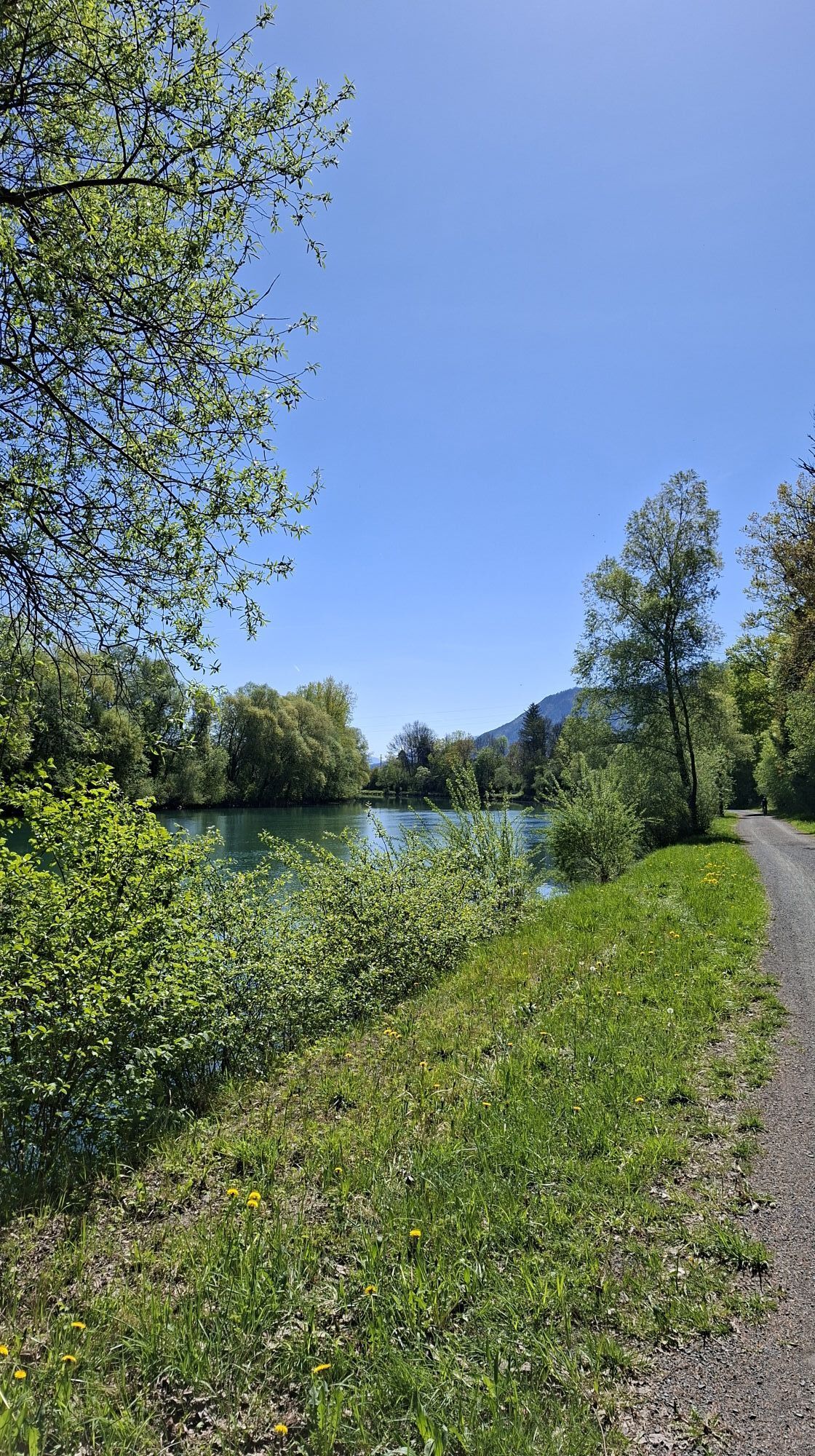
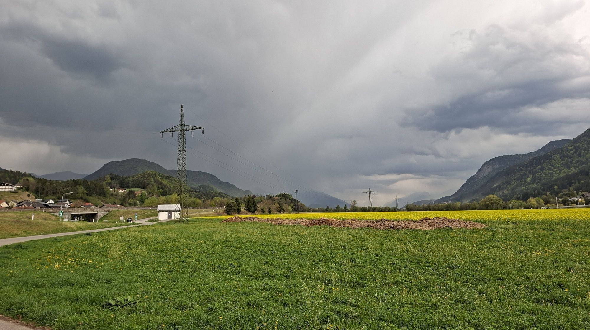
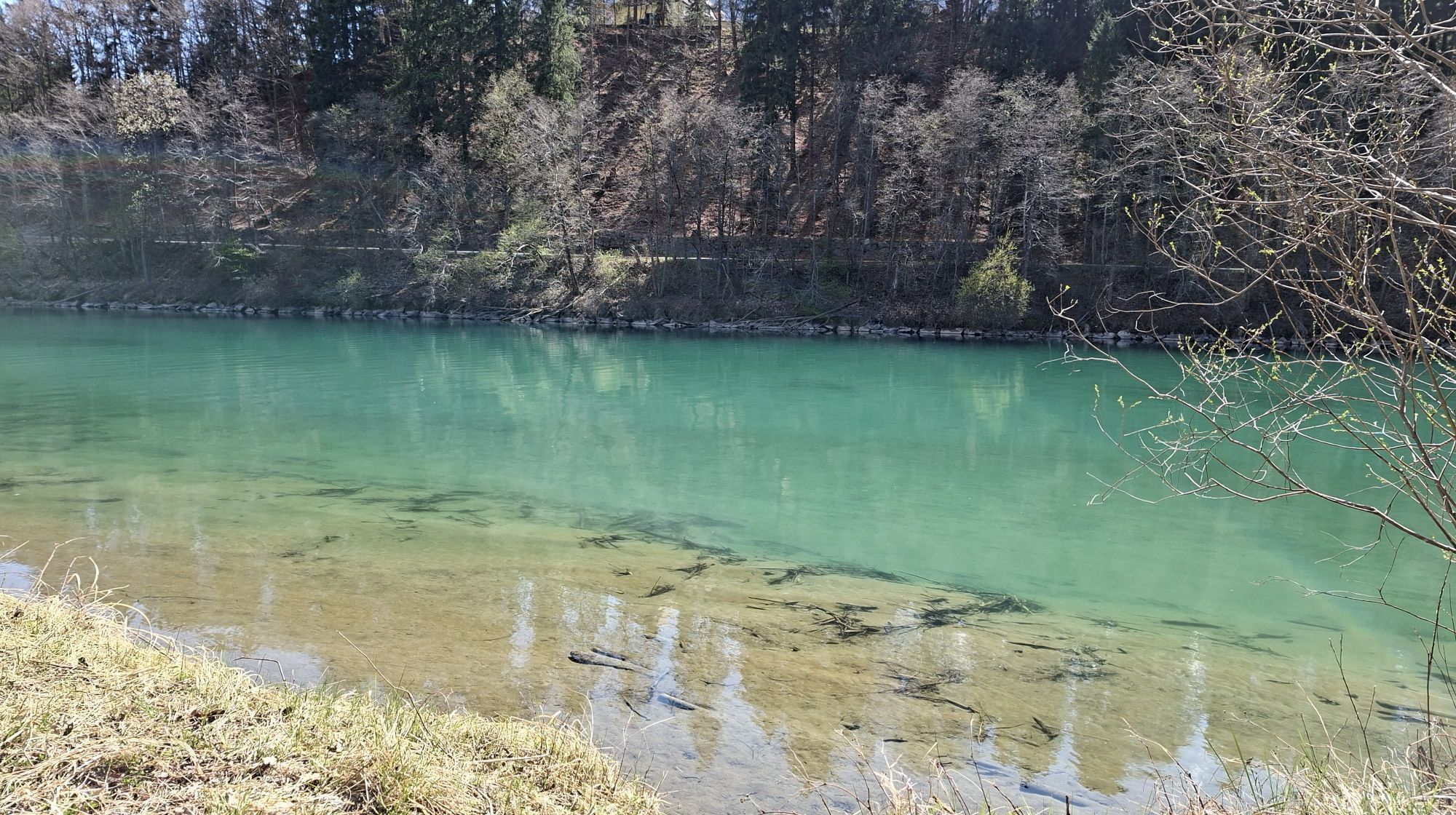
The Möll and Drau bike paths are mostly independent cycle paths. Please be careful on the descent from Mallnitz to Obervellach (fast, open road).
Alternative: the old railway track from Mallnitz to Obervellach.
Coming from all directions to Villach, departure at Villach main station
Best from all Carinthian regions by train to Villach, from there twice daily to Mallnitz for hiking, or from there back by bike or train
In Mallnitz best in the town center or directly at the Mallnitz train station.
https://www.nationalpark-hohetauern.at
Ticket reservation: www.oebb.at
www.touren.kaernten.at
Tickets and bike reservations at www.oebb.at
More cycling and hiking routes in Carinthia: www.touren.kaernten.at
Visitor center Mallnitz: https://www.besucherzentrum-mallnitz.at/de/
Water fountains along the bike paths: https://trinkbrunneninktn.at
Spletne kamere s turneje
-
Restaurant Goldalm
-
Restaurant Goldalm
-
Landskron
-
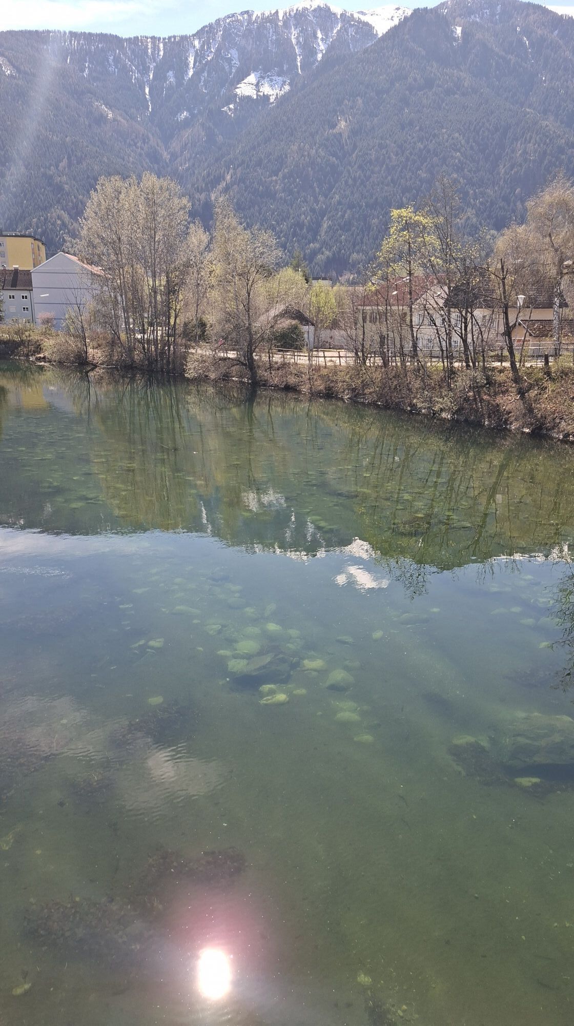
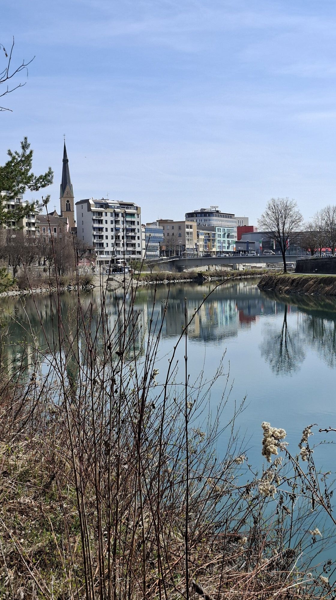
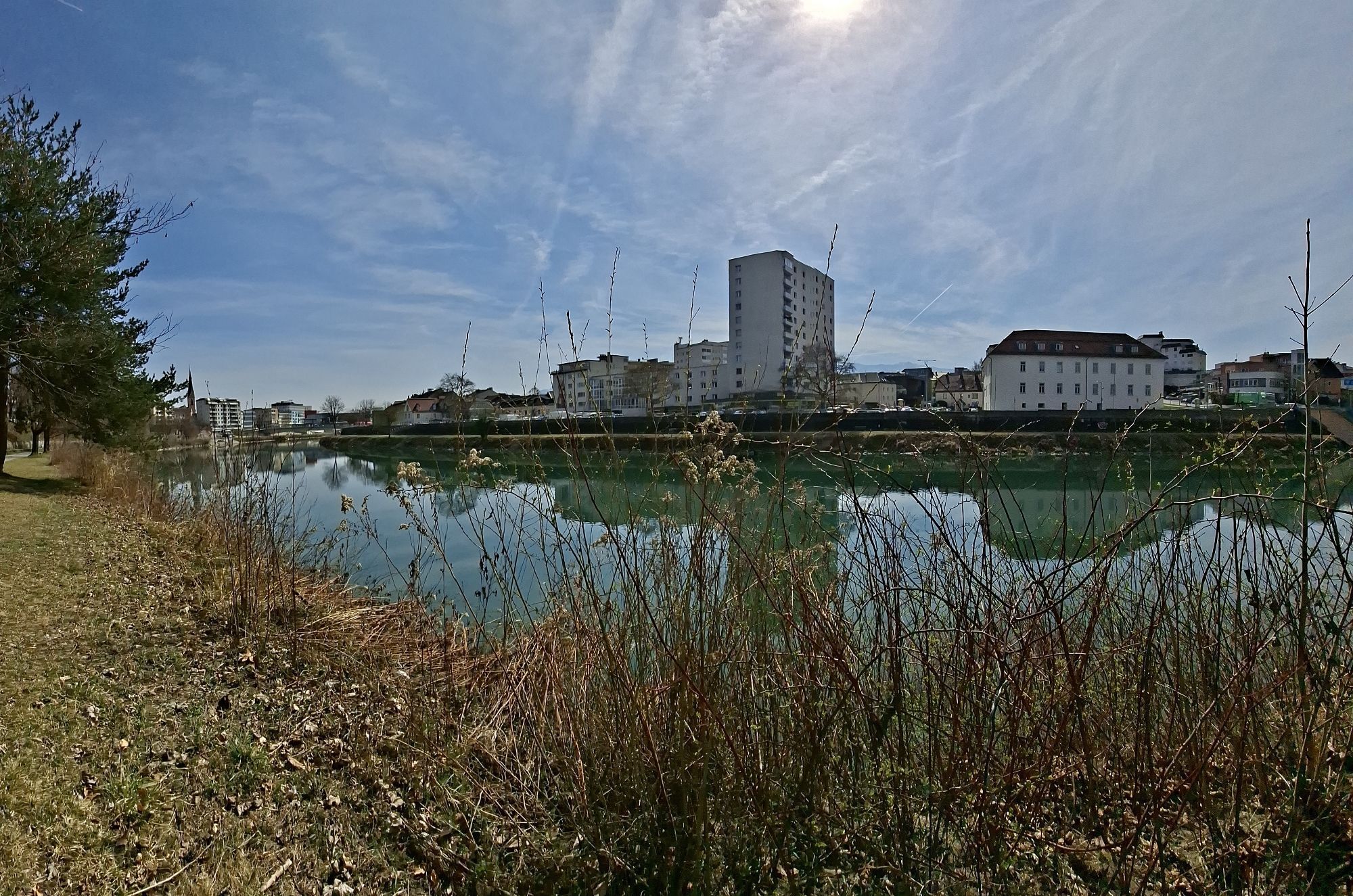
Villach - Friedensbrücke
-
Obervellach - Almgasthof Himmelbauer
-
Restaurant Goldalm
-
Villach
-
Döbriach
-
Seeblickweg
-
Millstatt am See
-
Millstätter Schifffahrt
-
Hotel zur Post
-
Marktplatz Obervellach
-
Obervellach Ost
-
Gatternighof Pfaffenberg
-
Raggaschlucht 2
-
Goldeck - 8er EUB Bergstation
-
Flattach West
-
Ankogel - Bellevue
-
Drautal Straße
-
Ankogel


Priljubljeni izleti v okolici
-
4.9
W10 - Large lake round - Weissensee
težkoMountainbike 31.5 km -
5.0
Bella Vista auf Hohe Leier
srednjaVia ferrata 15.6 km -
4.8
Enzian-Granatsteig & Almbrunn Steig
svetlobaPohodništvo 8 km -
4.8
Parkplatz Seetal - STAFF und retour
srednjaPohodništvo 13.2 km -
4.7
Millstätter See cycle track
srednjaKolesarjenje 27.7 km -
4.8
Lammersdorfer Hütte, Granattor Runde
svetlobaPohodništvo 9.85 km -
4.8
Nockhöhensteig
srednjaPohodništvo 7.67 km -
4.7
H-2-O Höhenweg
svetlobaTematska pot 5.40 km -
4.0
Barbarossa Gorge near Mühldorf/Mölltal
svetlobaPohodništvo 2.74 km -
4.3
Zwergsee route Millstatt
svetlobaPohodništvo 4.01 km

Pohodništvo in sledenje


Ne zamudite ponudb in navdiha za naslednje počitnice
Vaš e-poštni naslov je bil dodan na poštni seznam.