







Hochstuhl via ferrata
Stopnja težavnosti: B/C
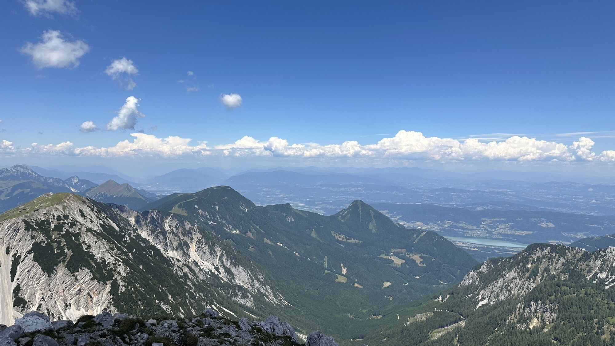
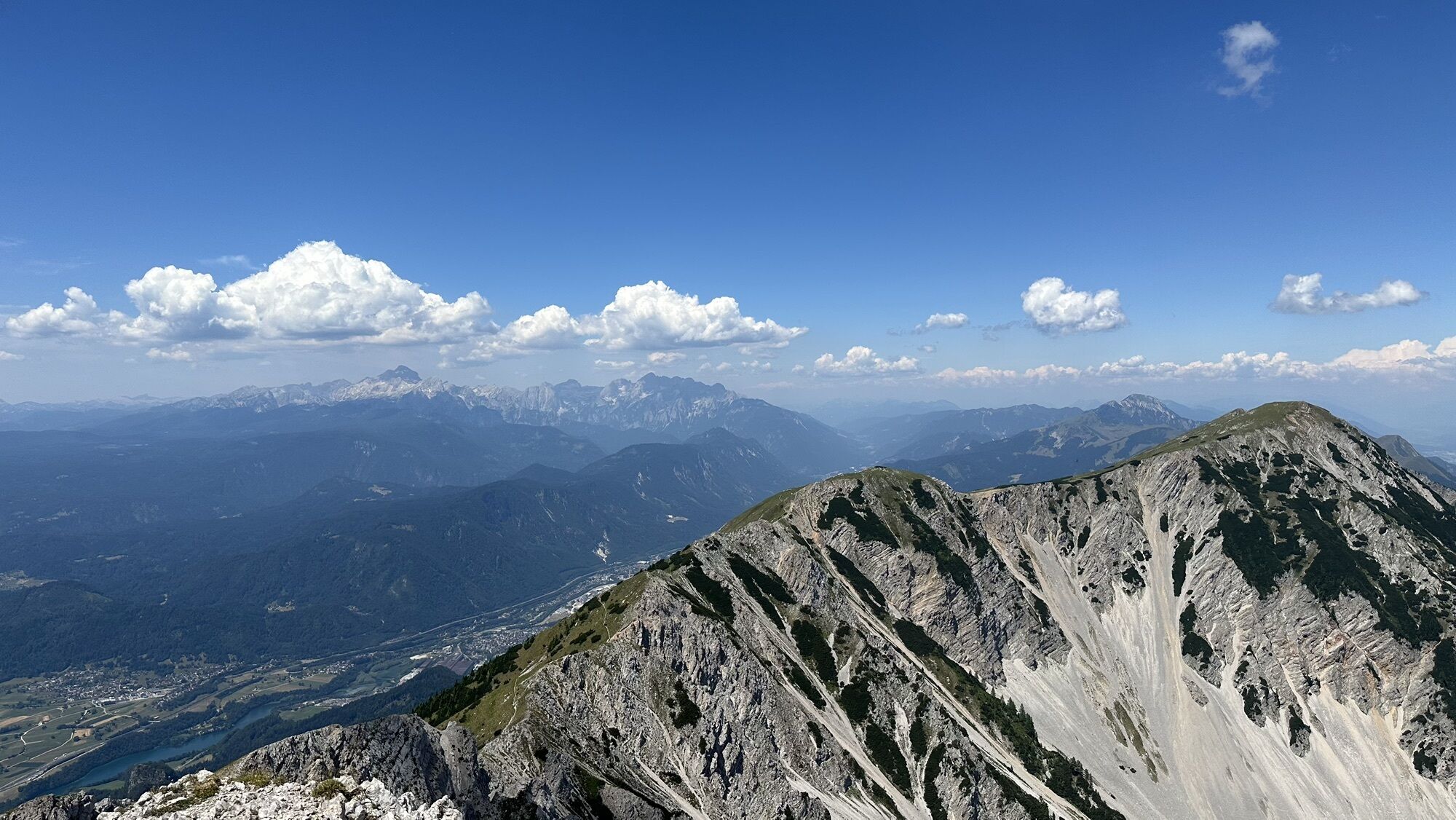

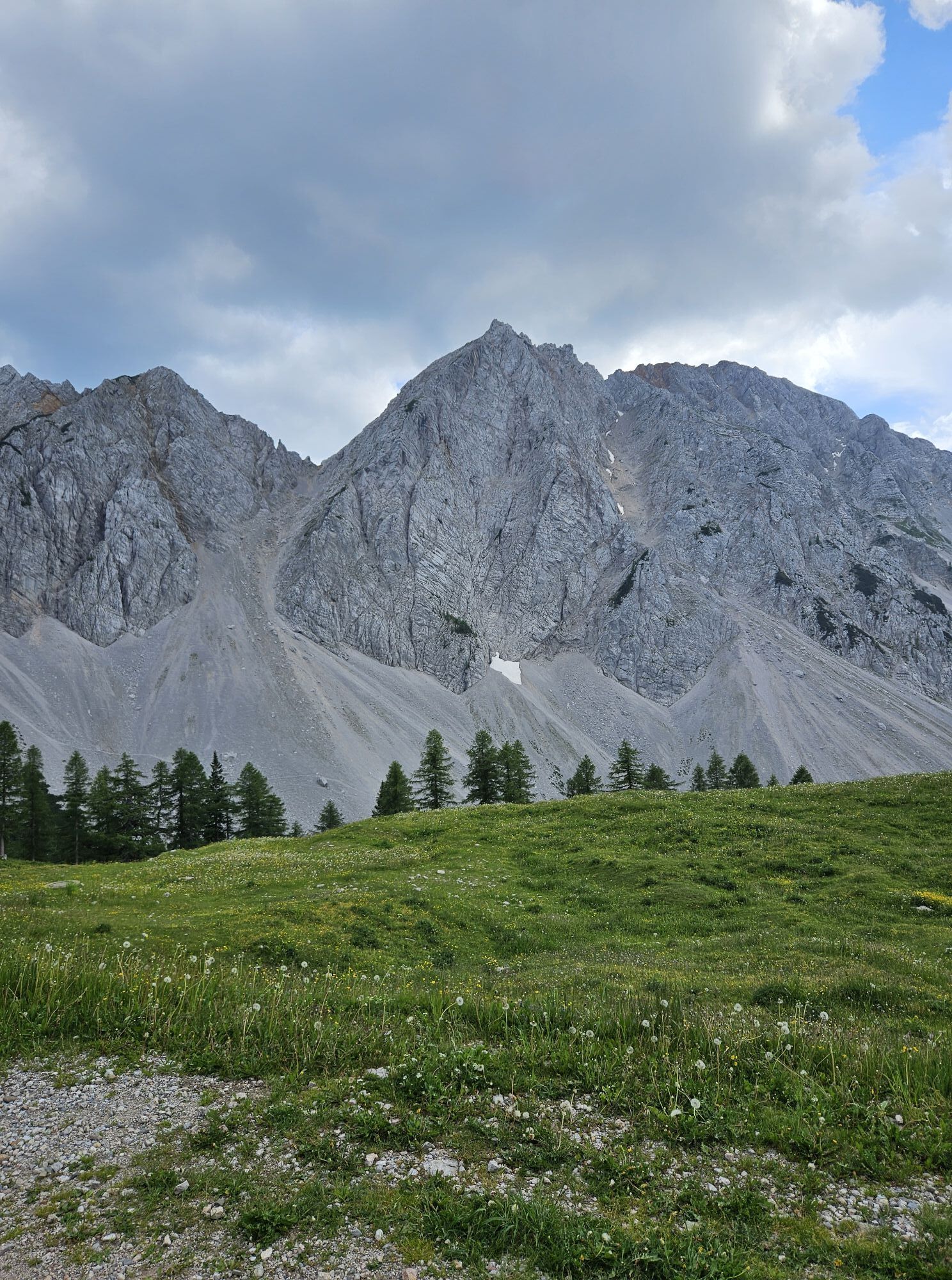
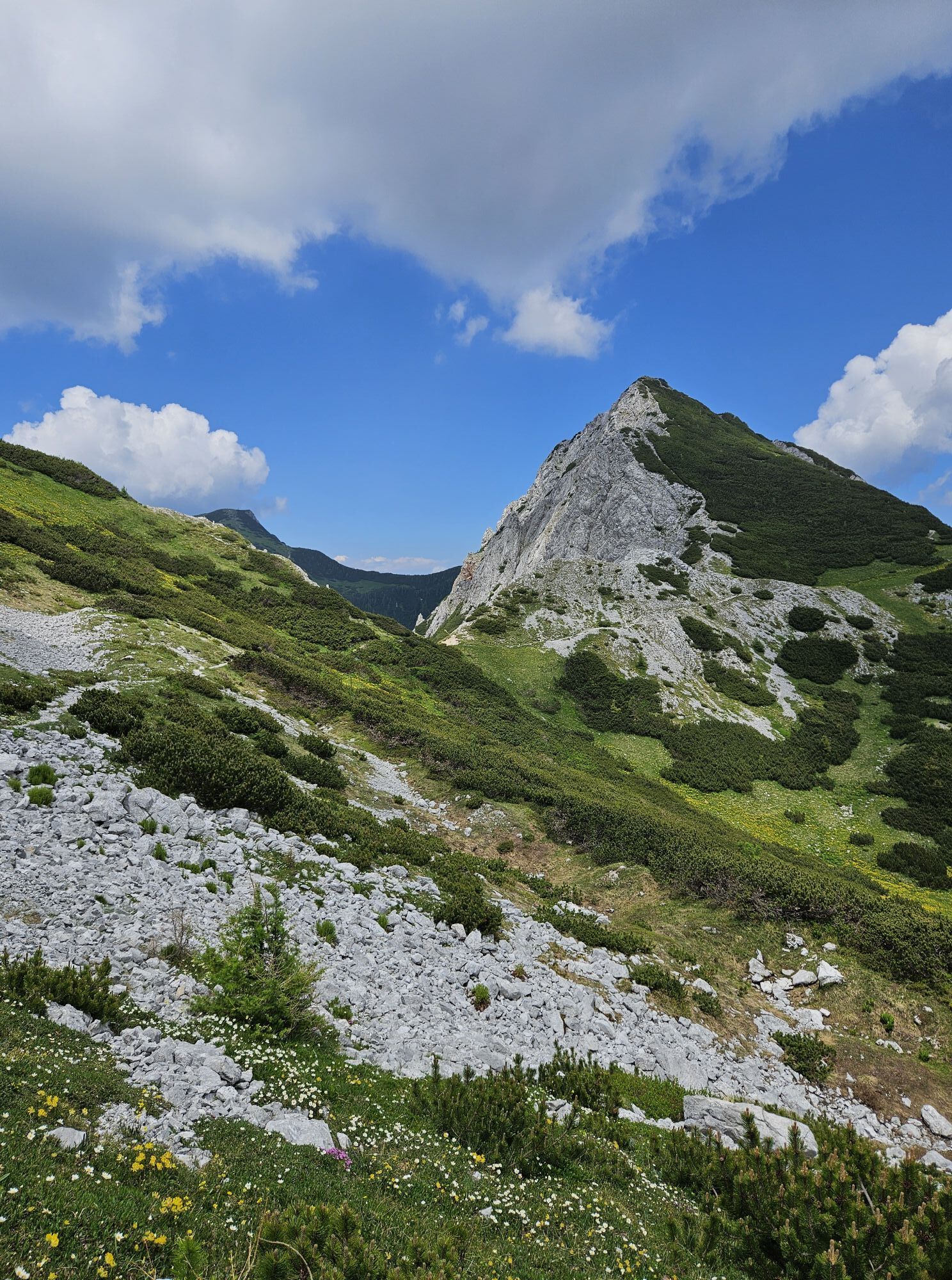
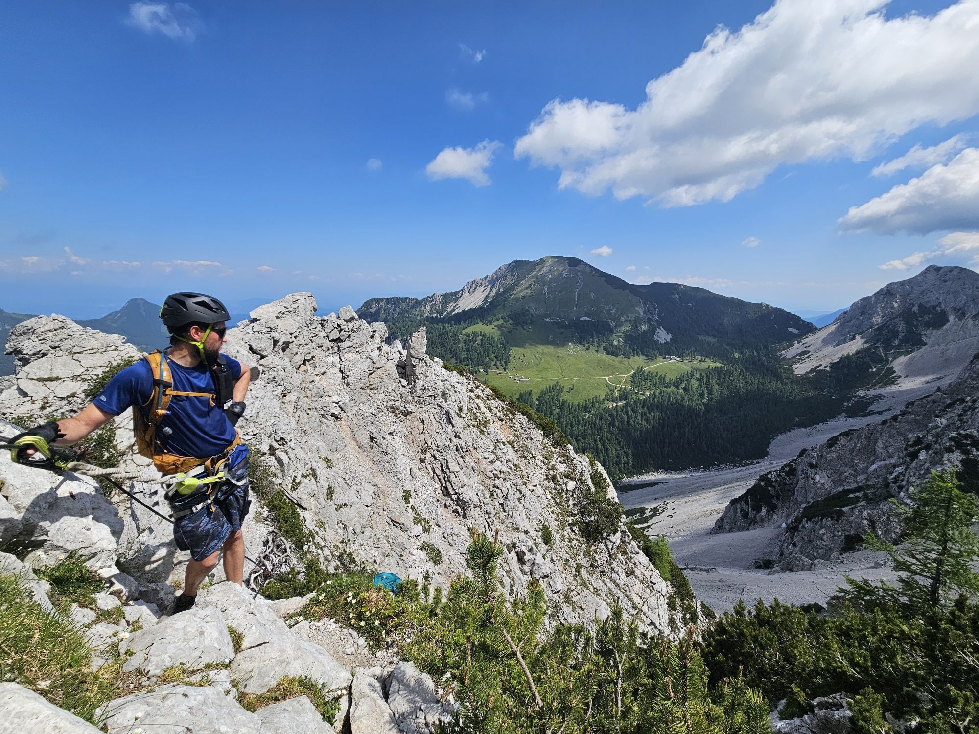
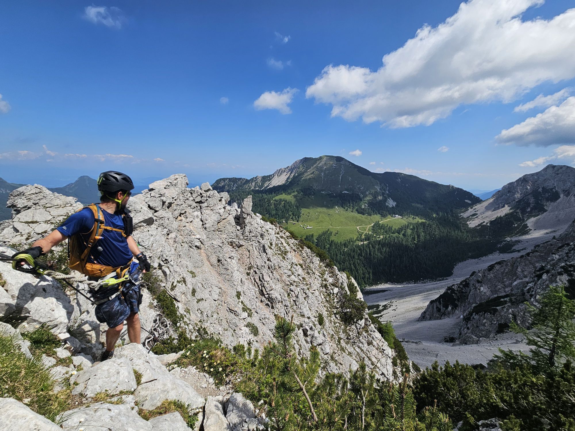
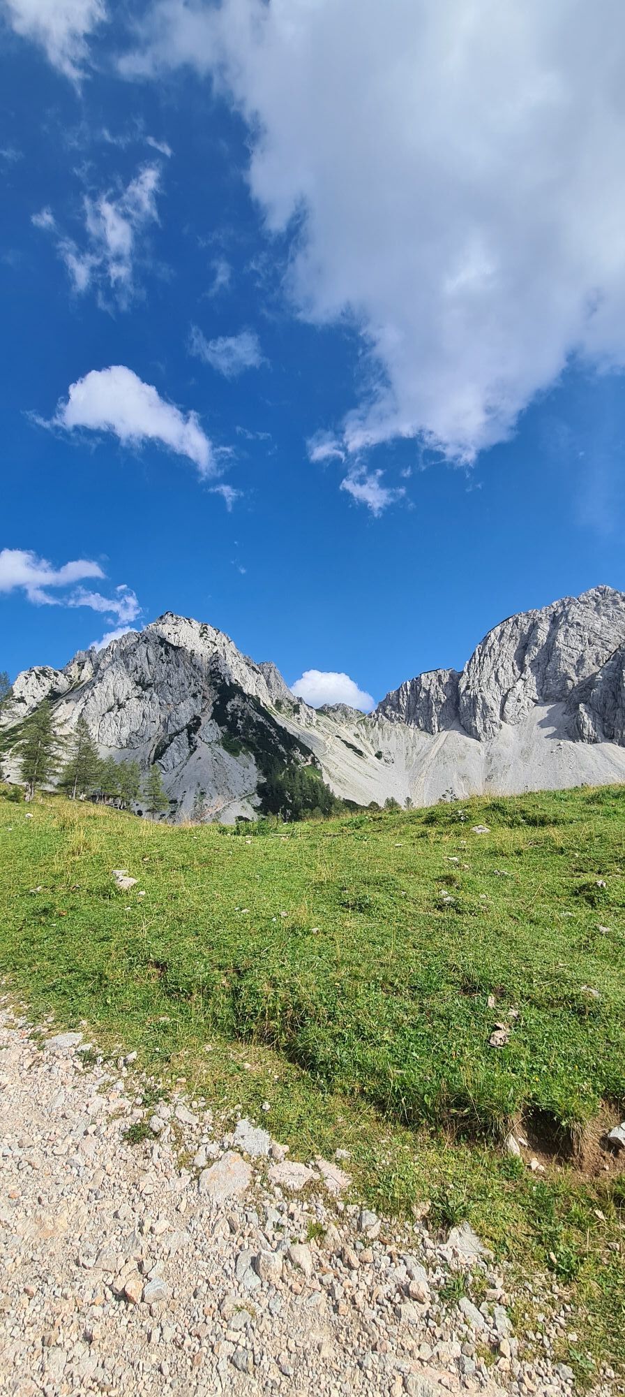
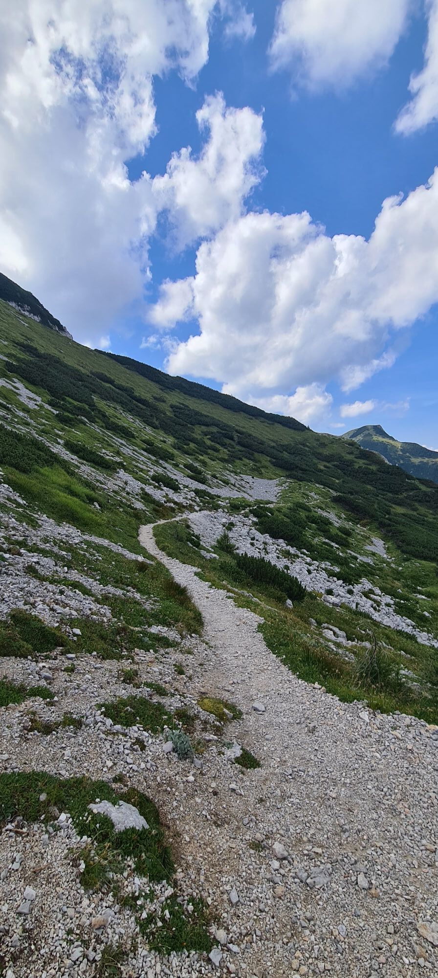
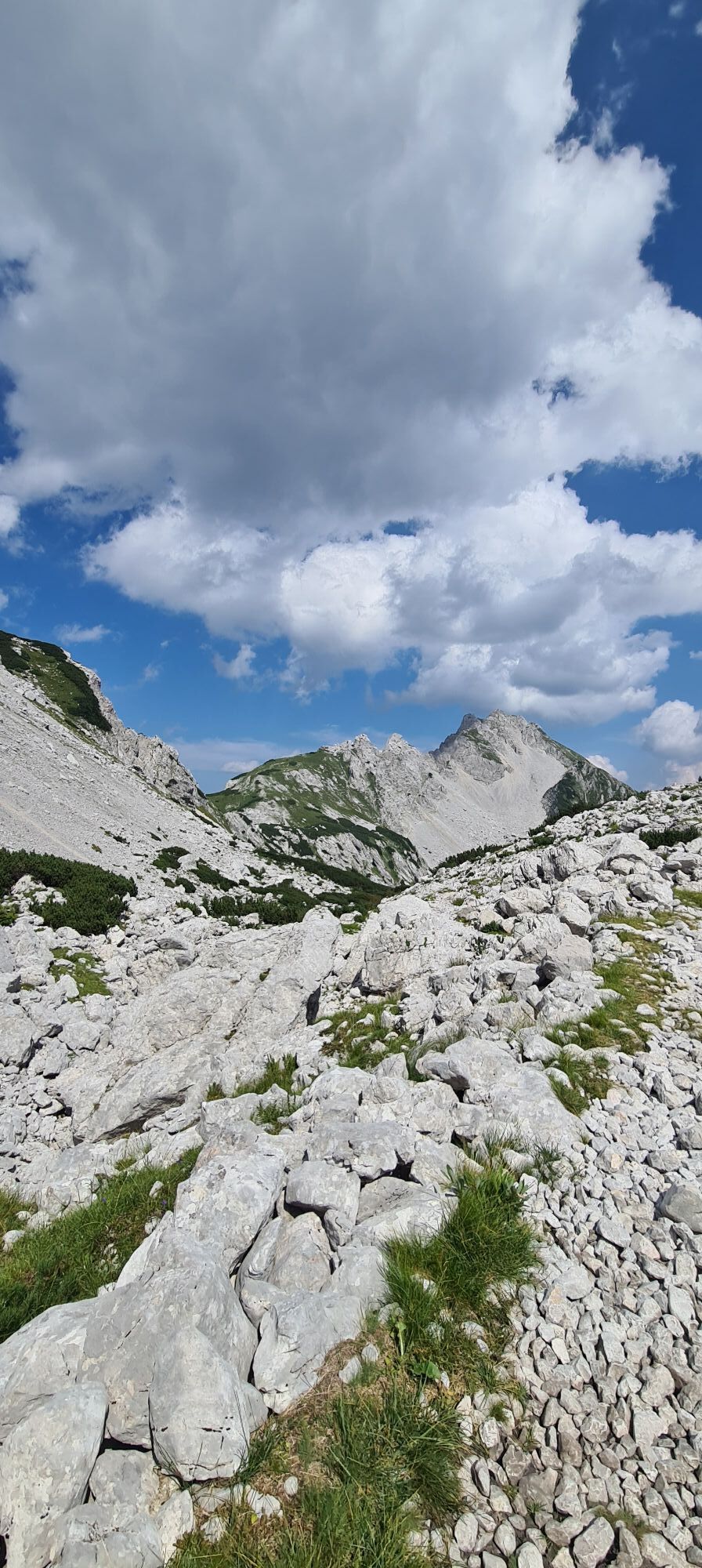
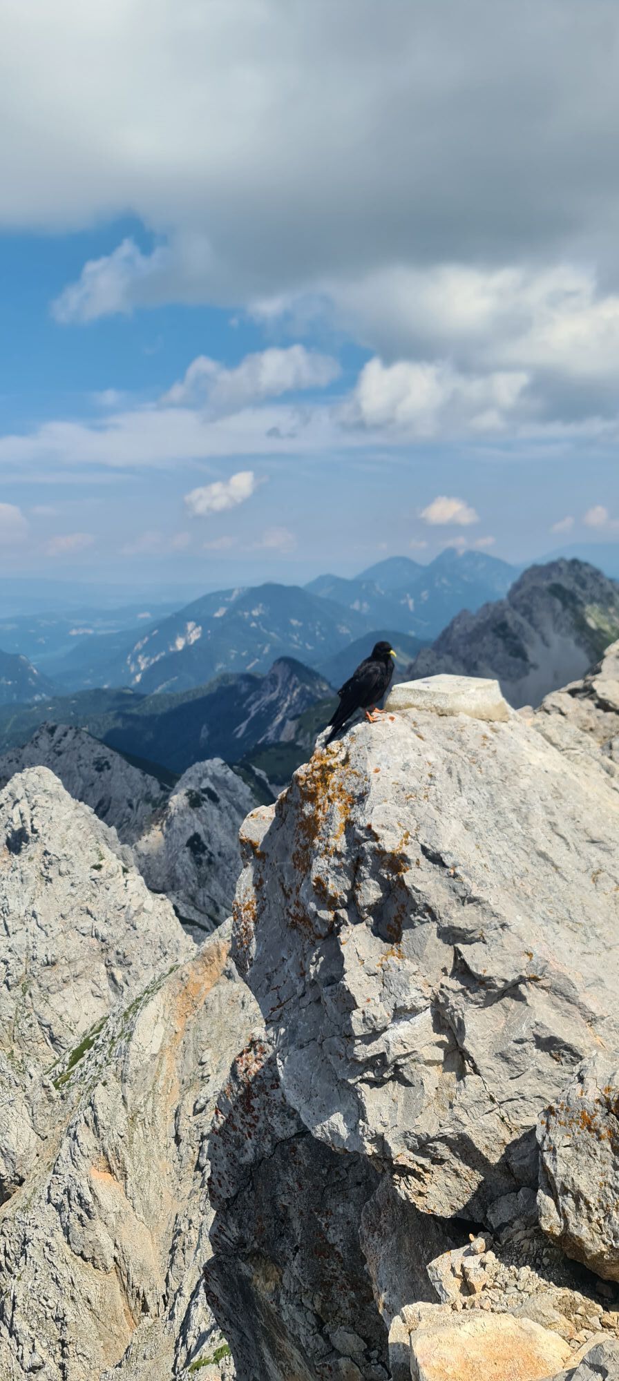
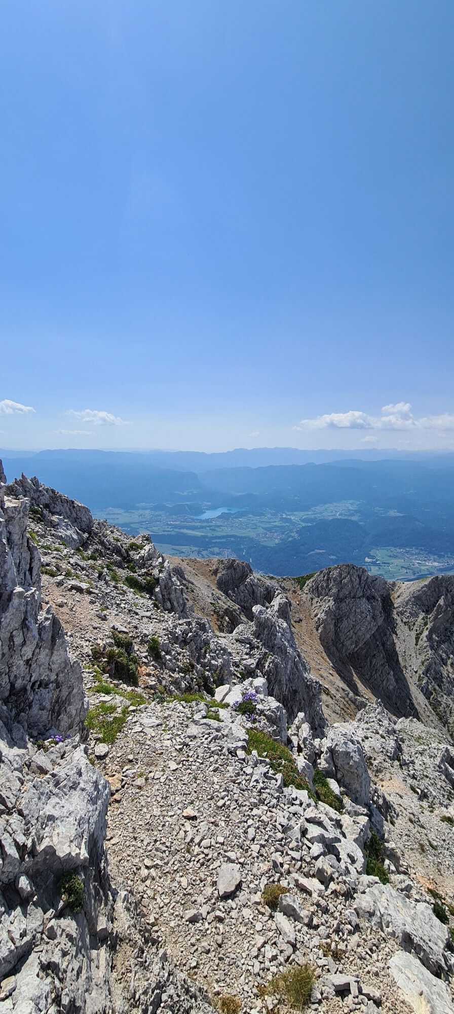
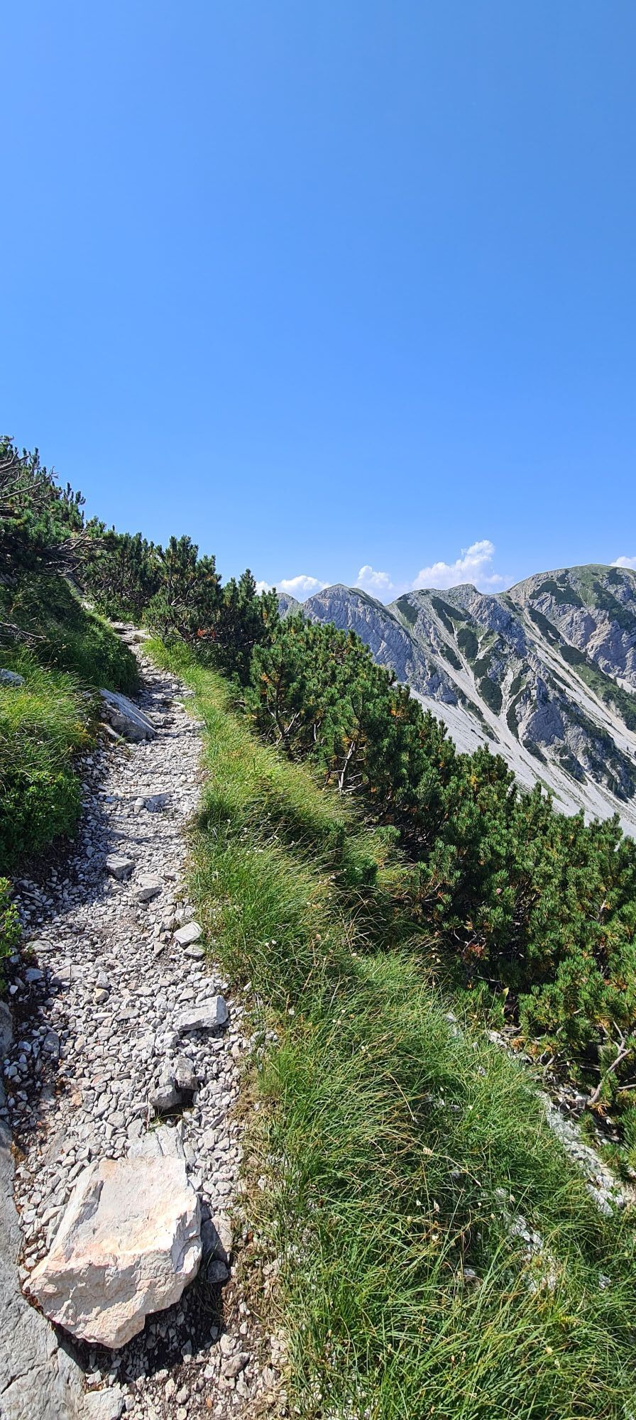
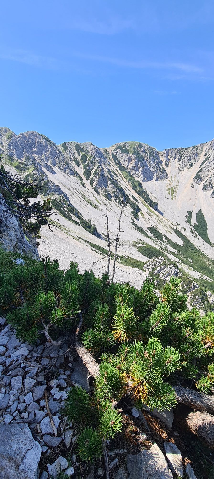
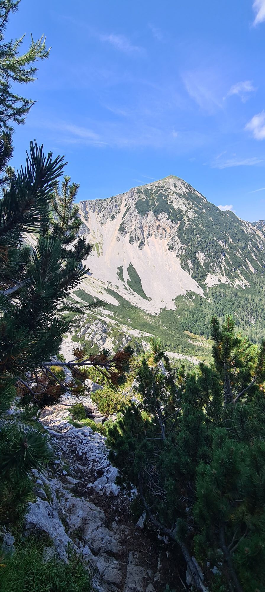
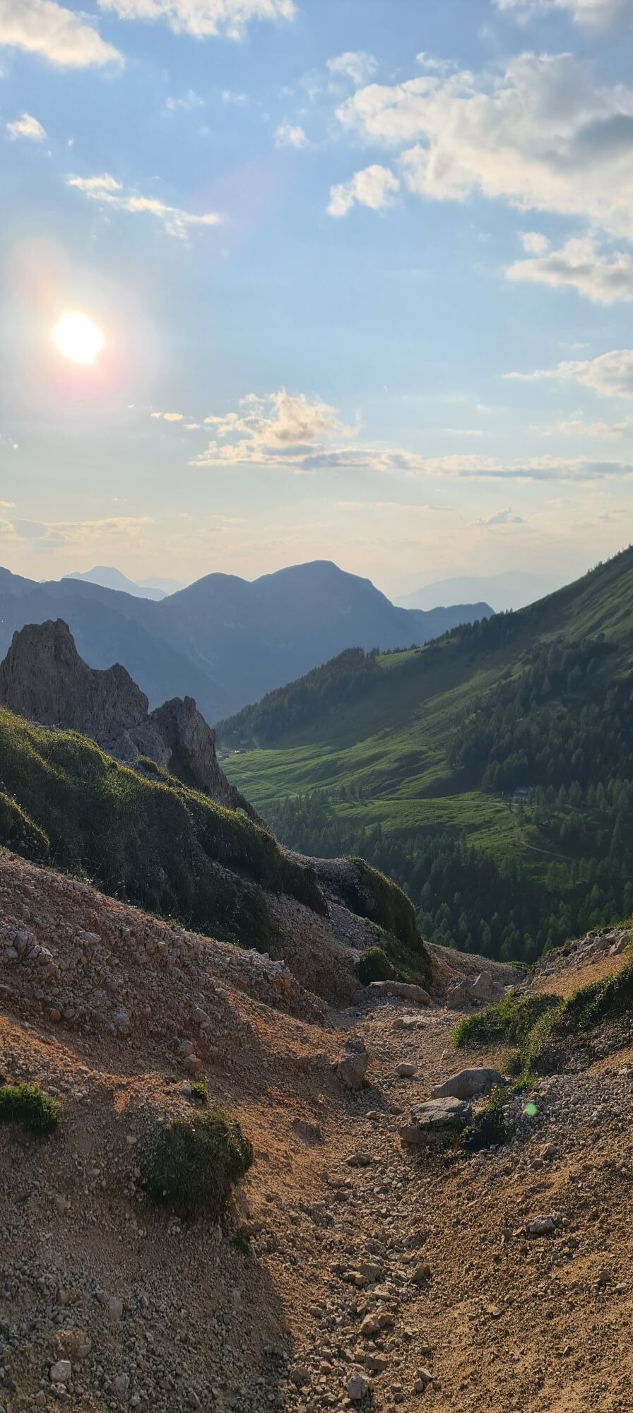
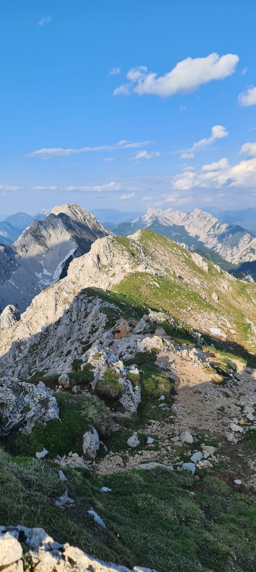
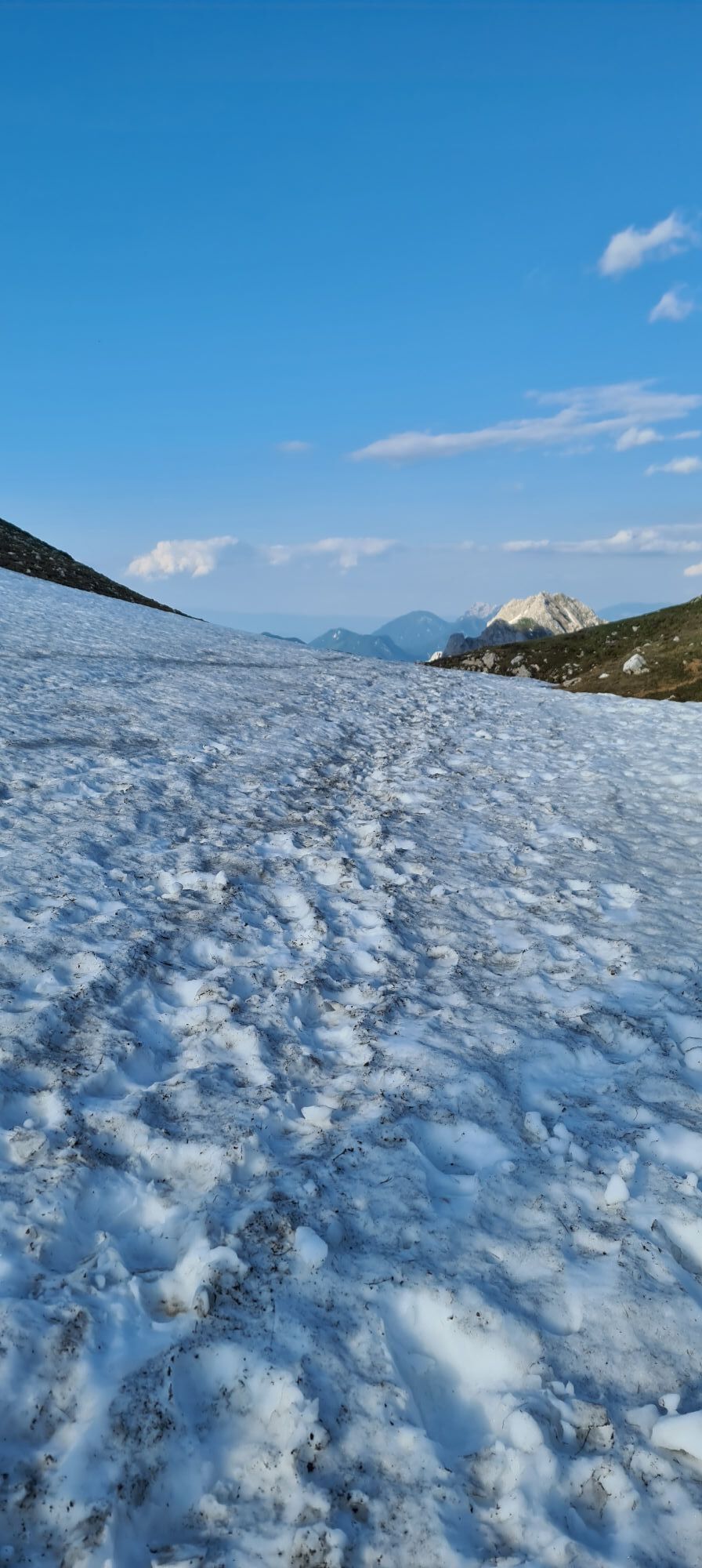
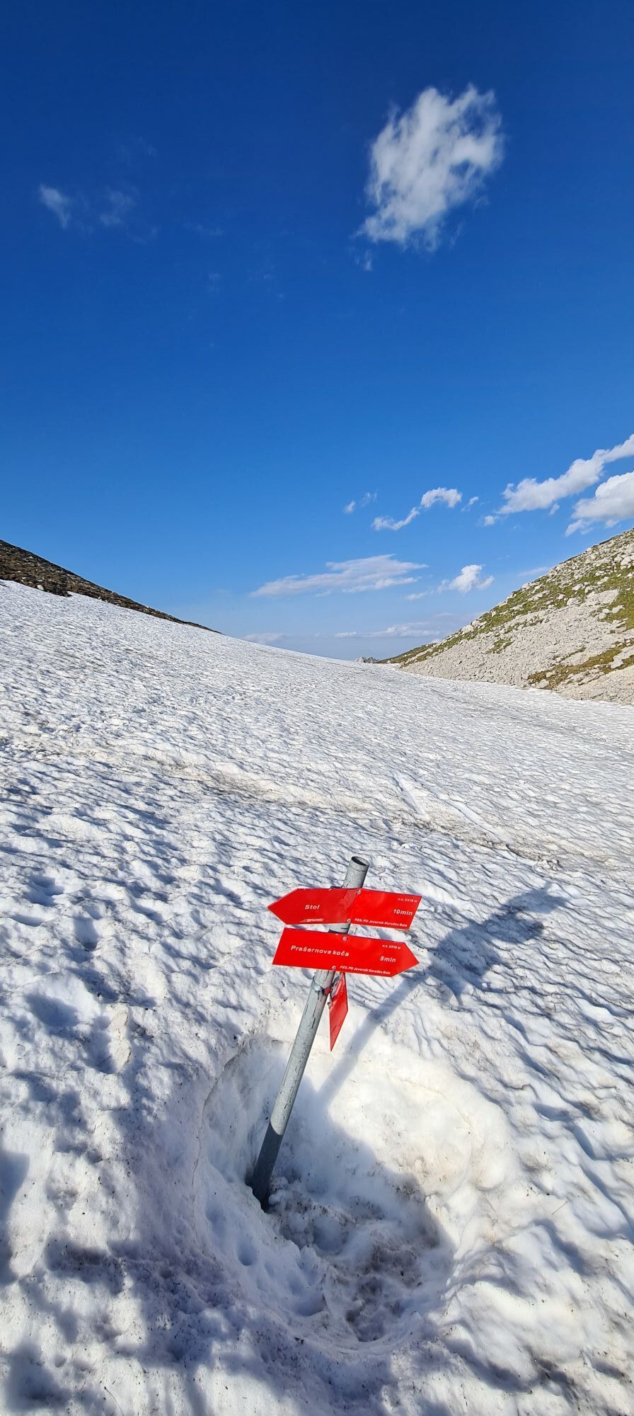
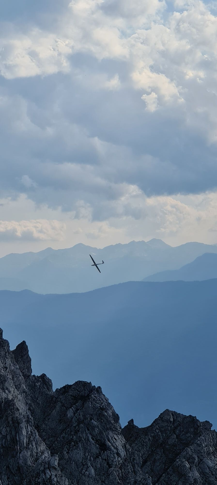

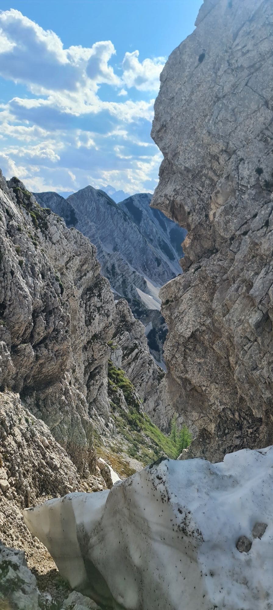

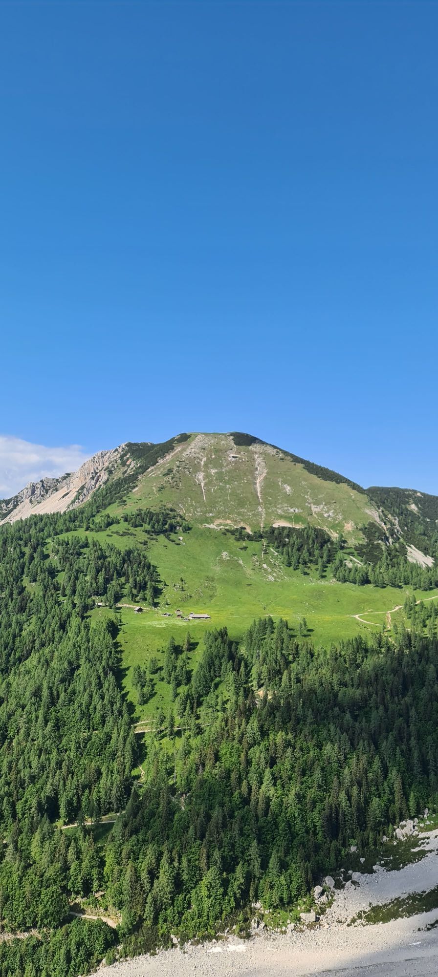
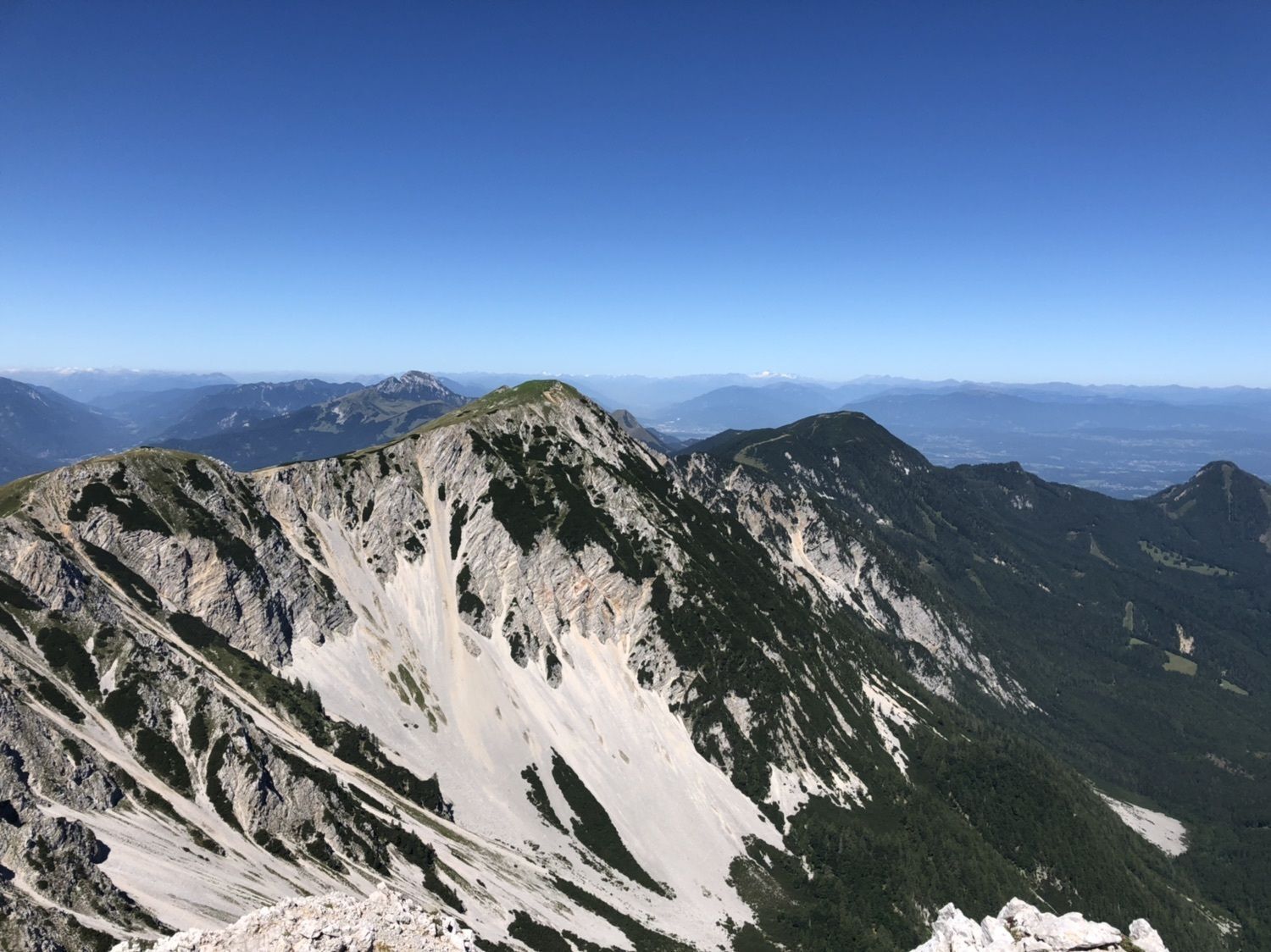
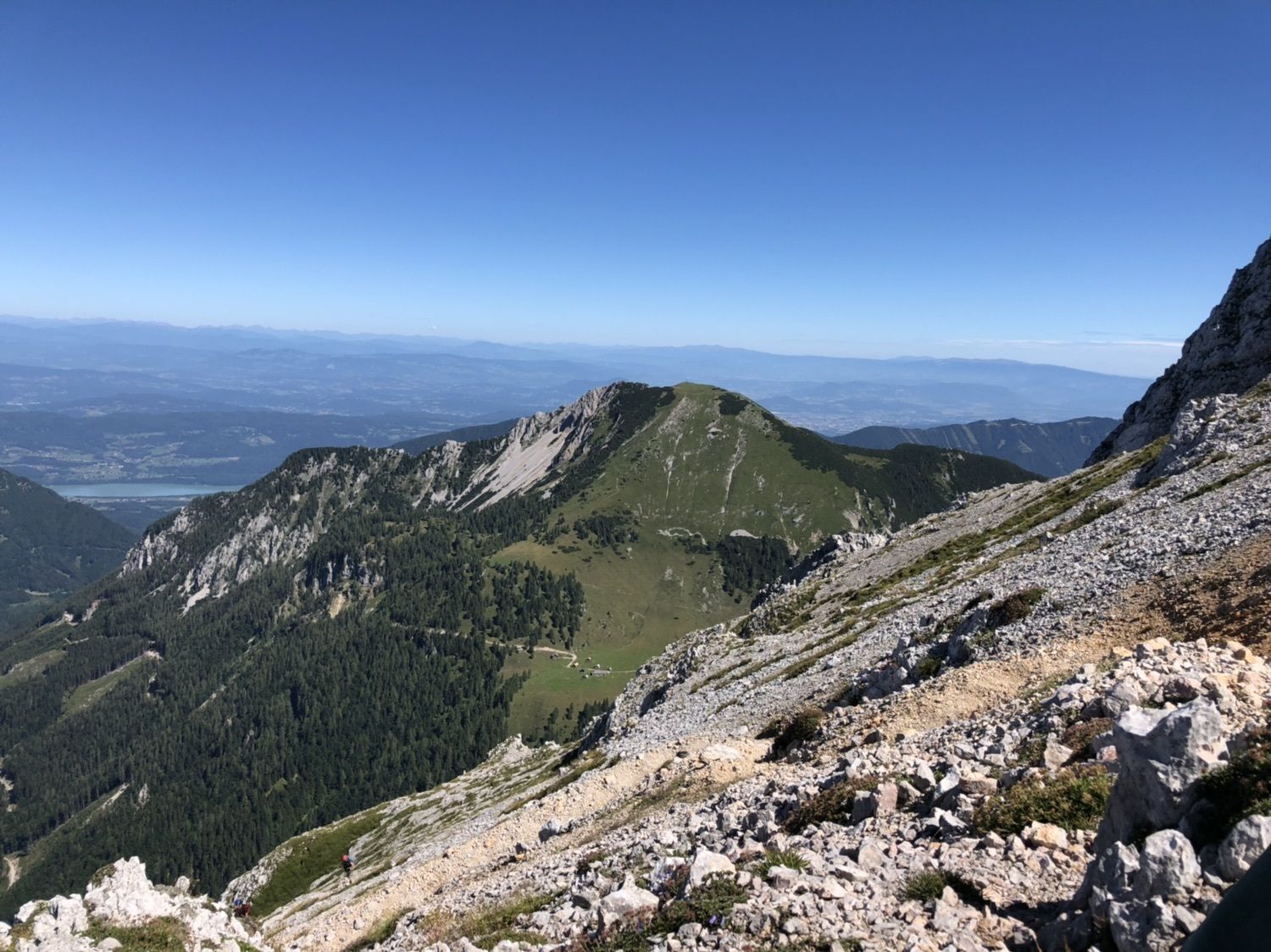
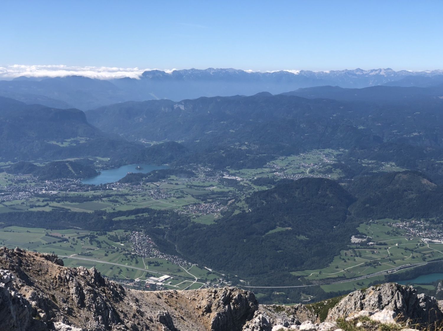
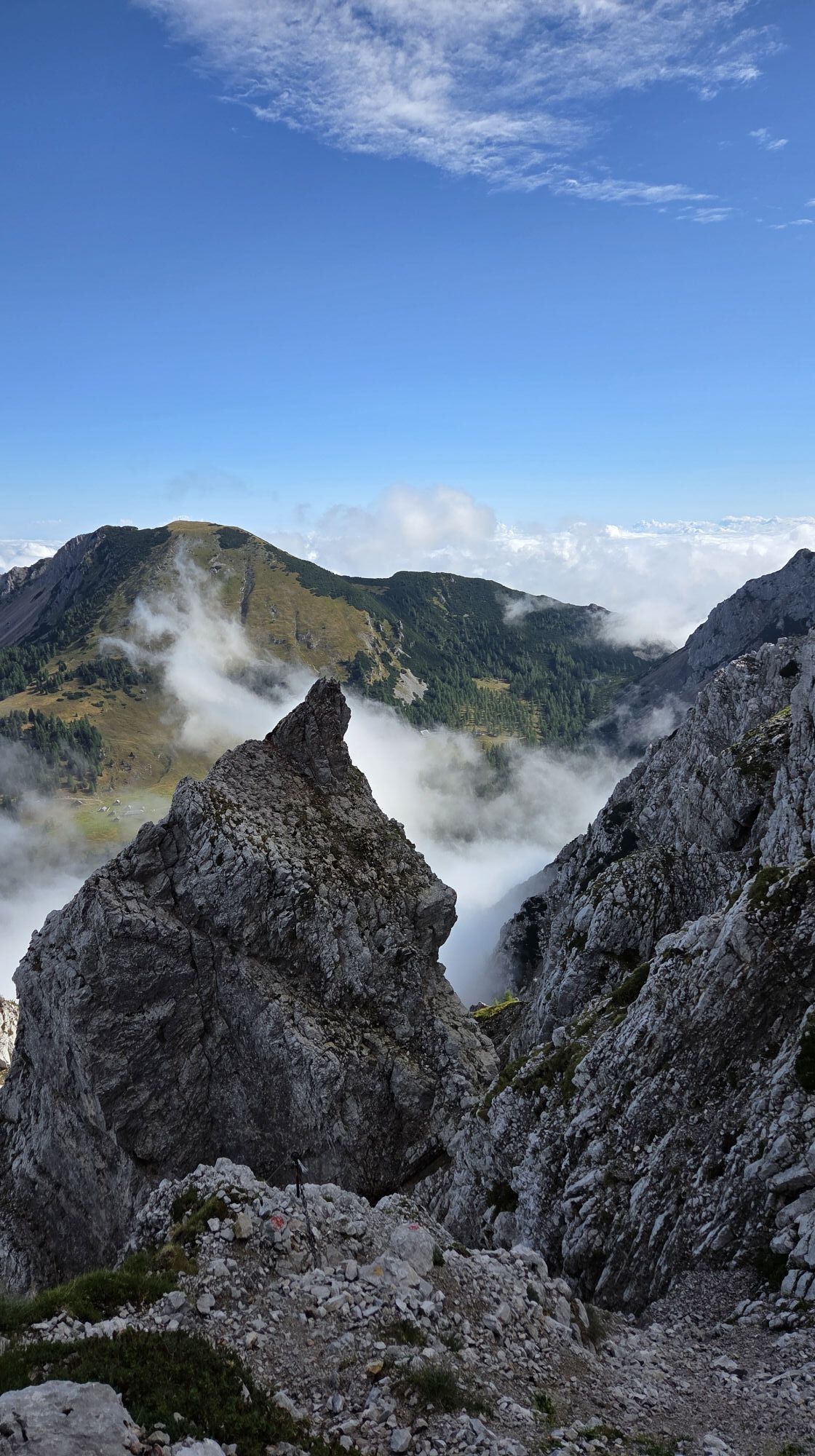
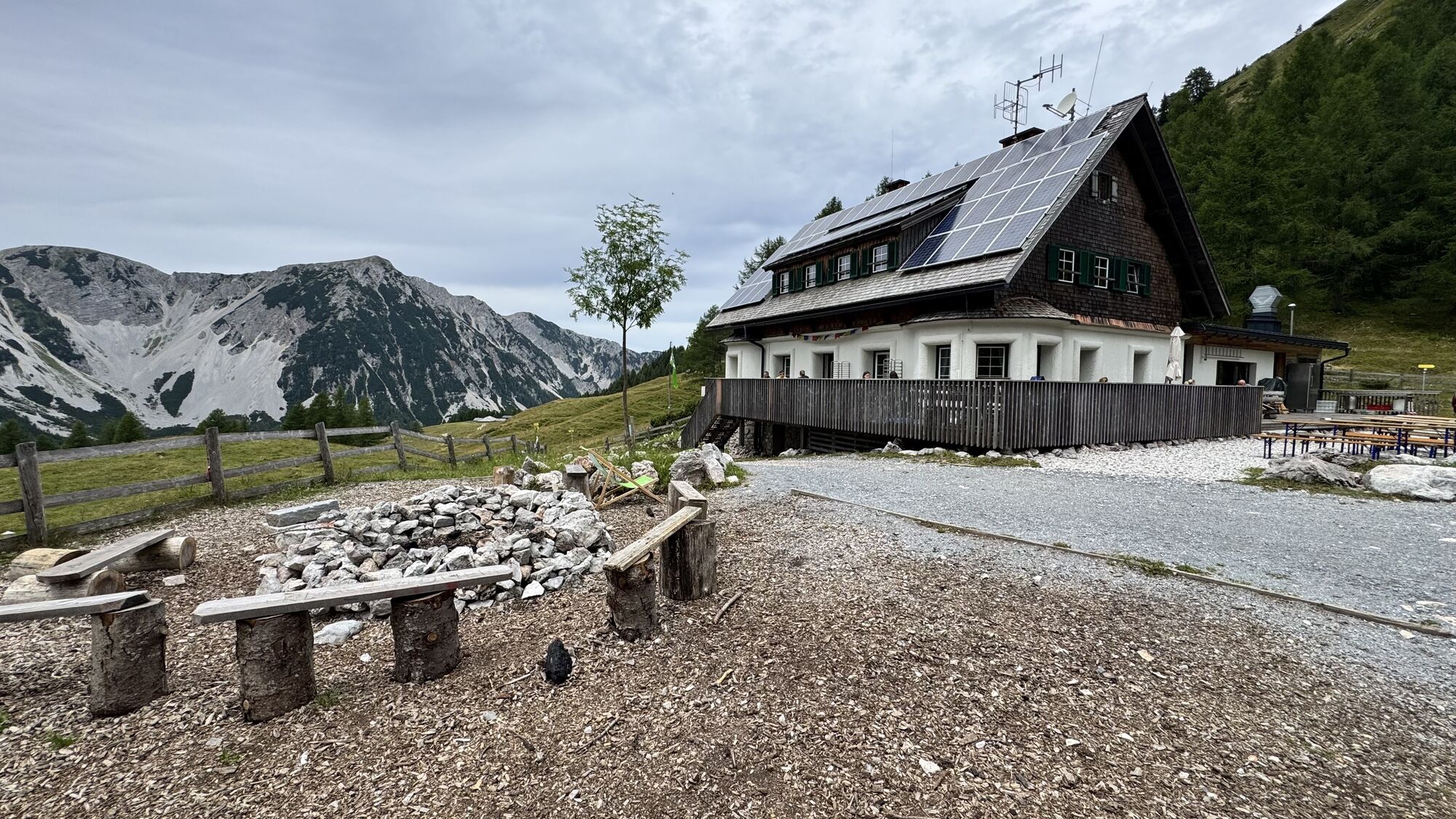
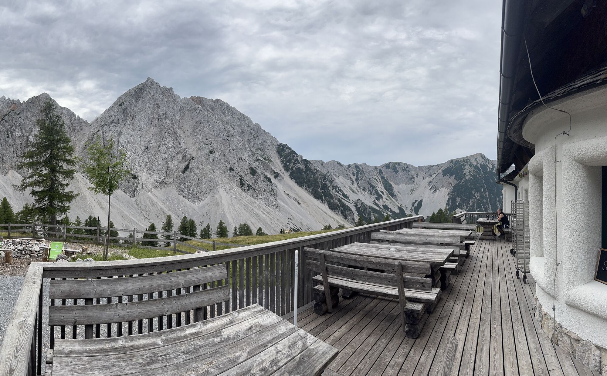
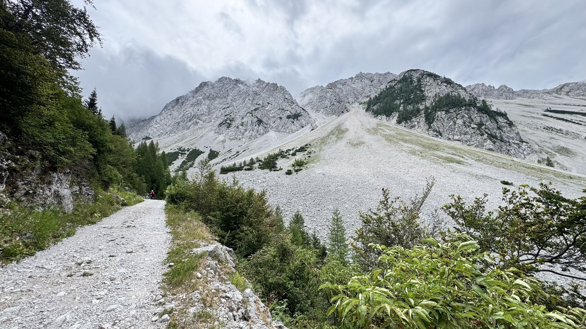
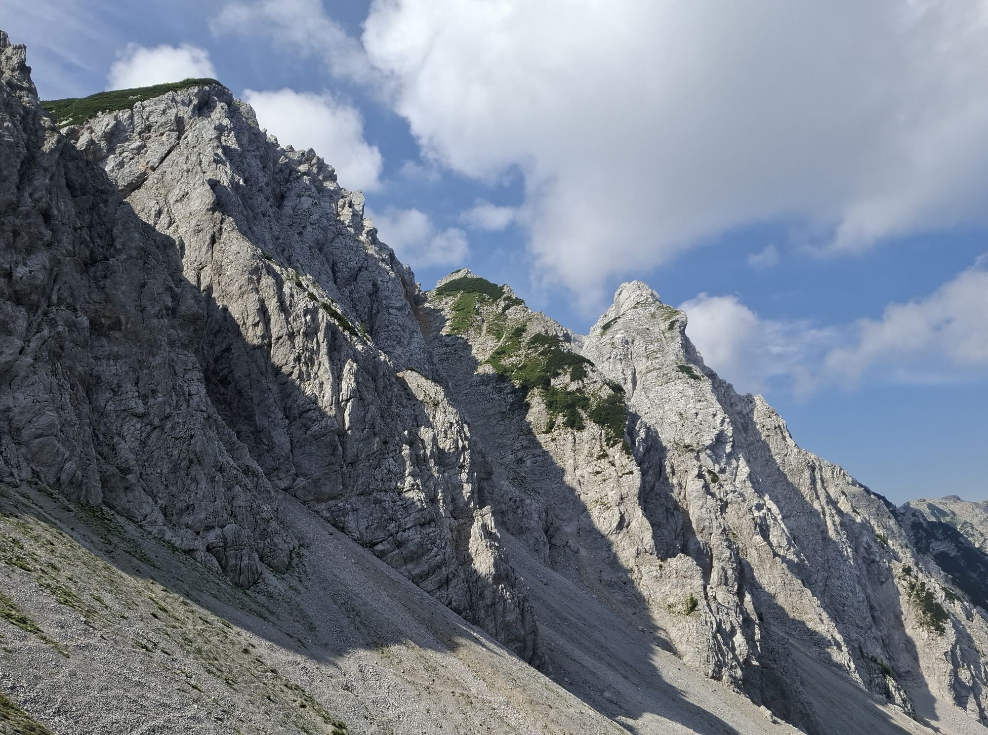
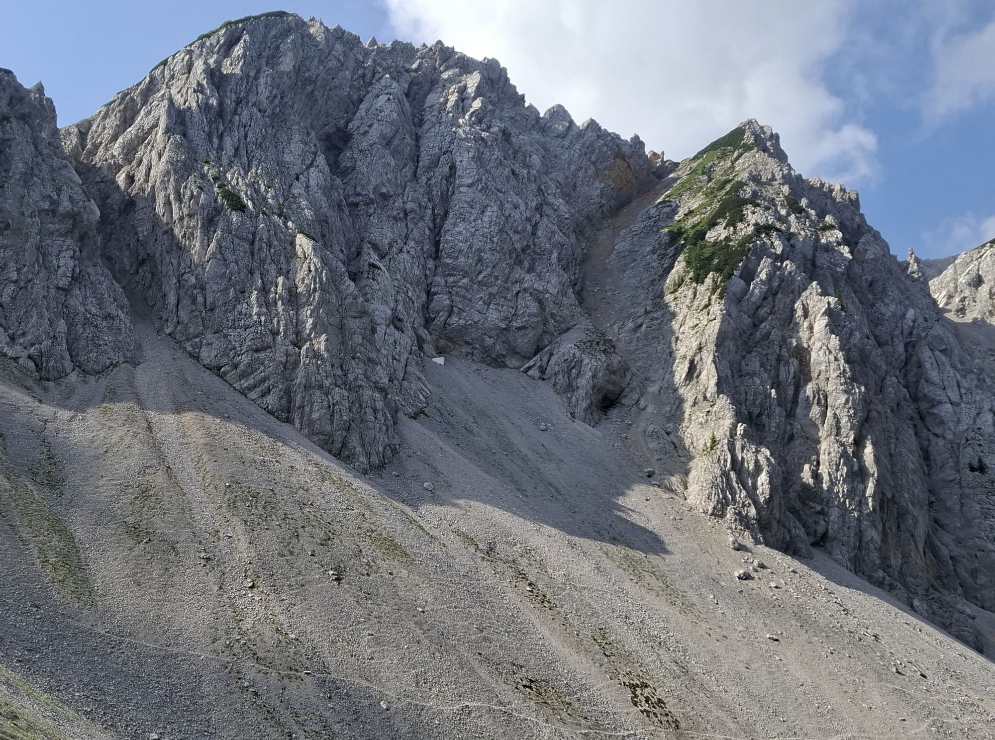
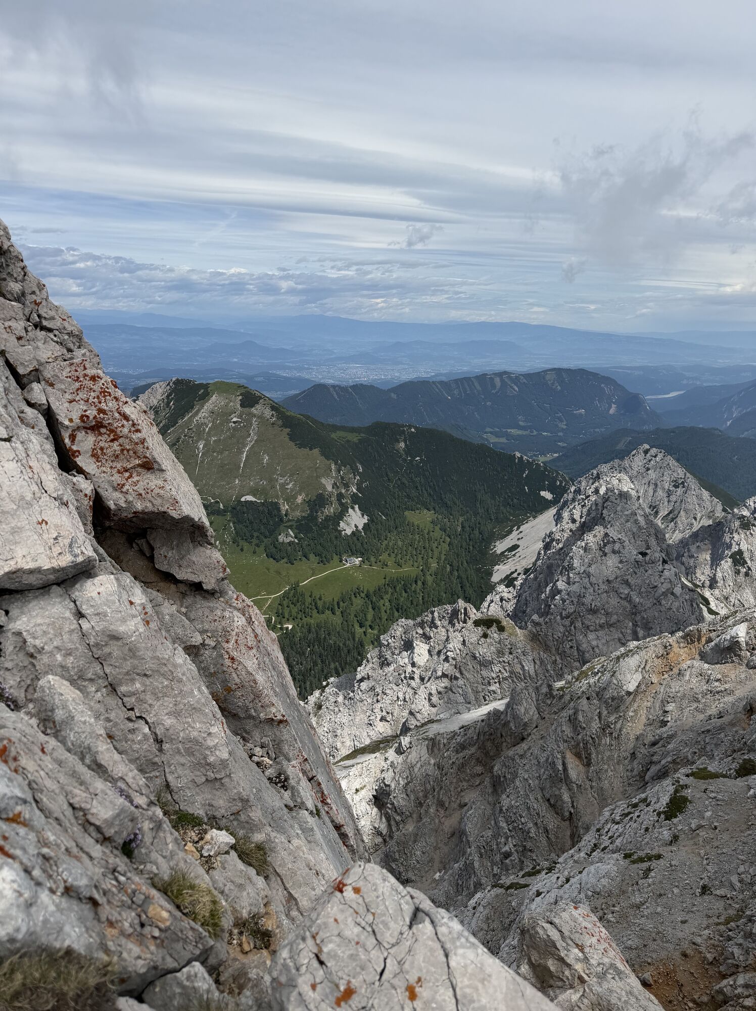
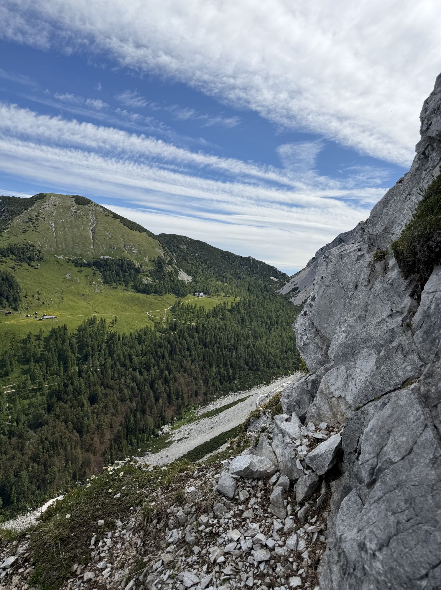
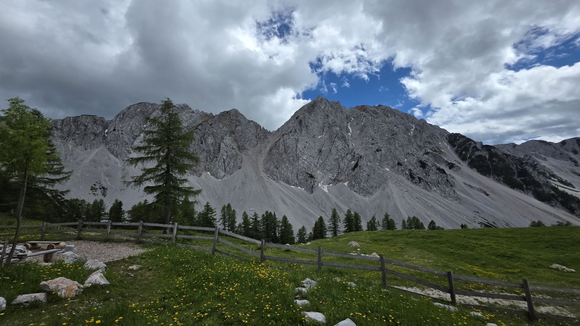
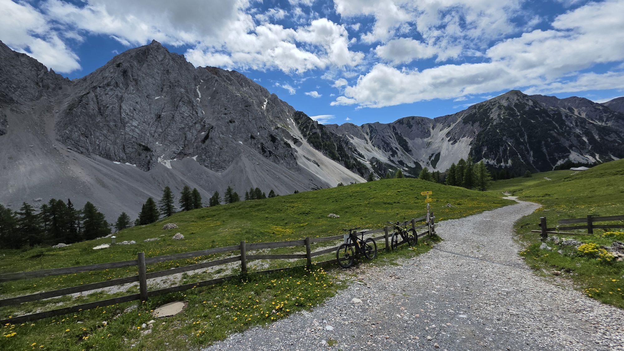
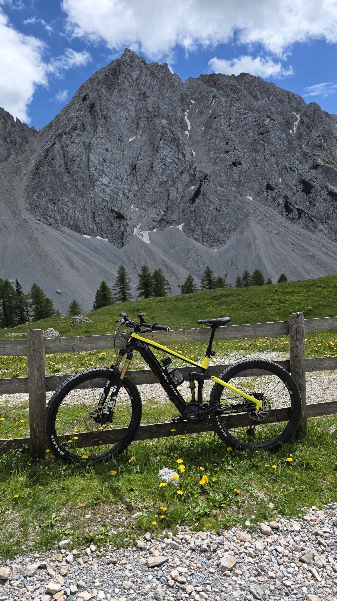
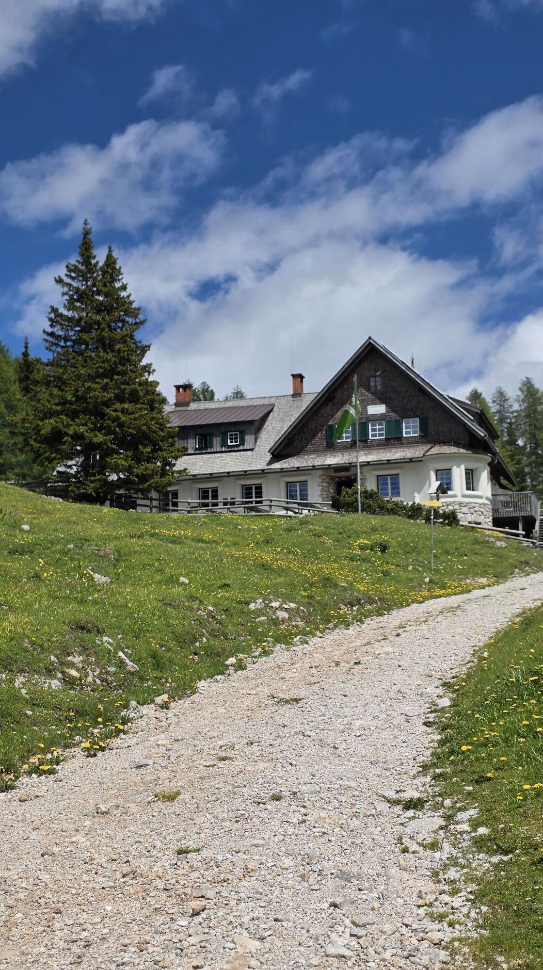
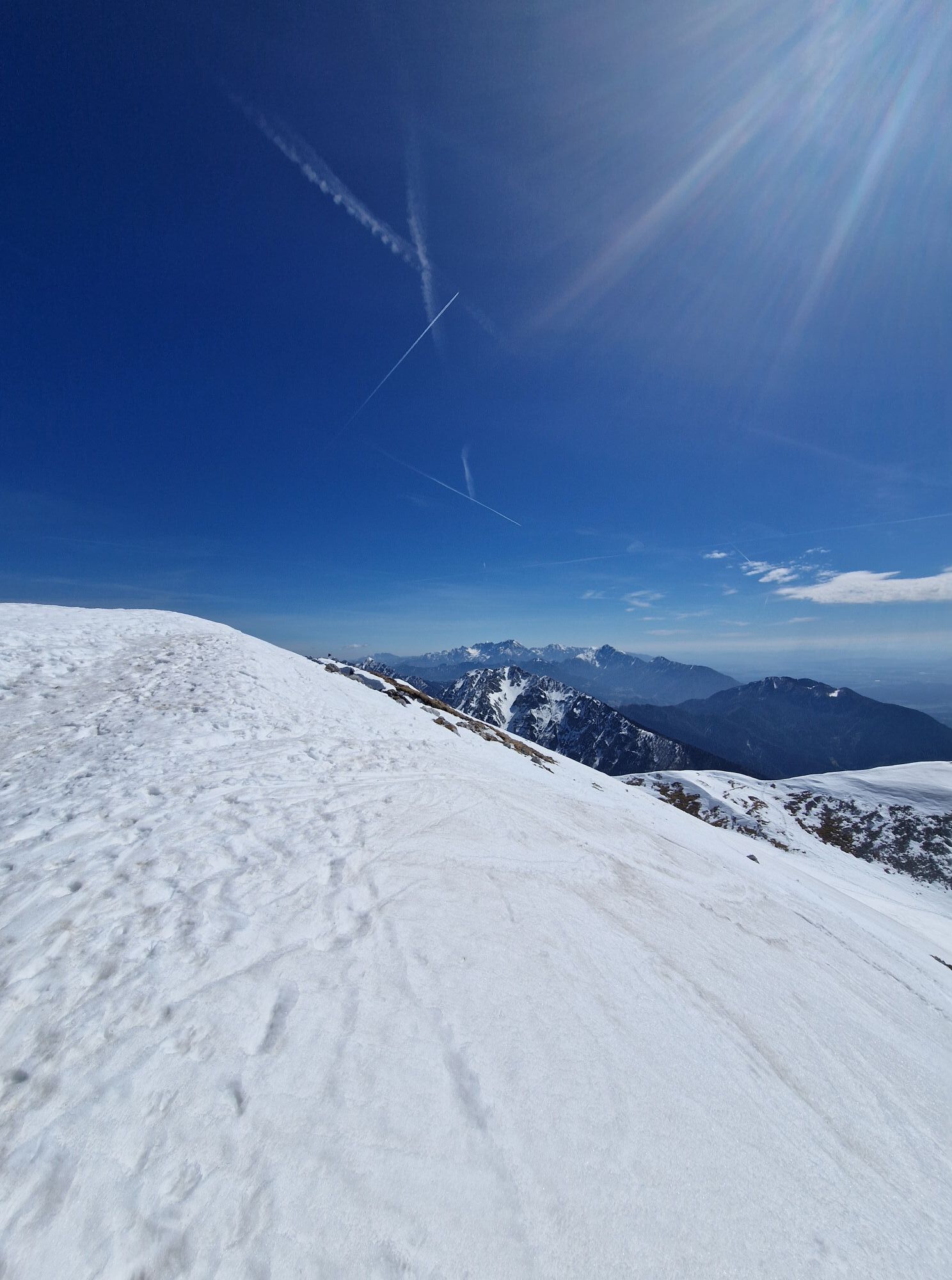
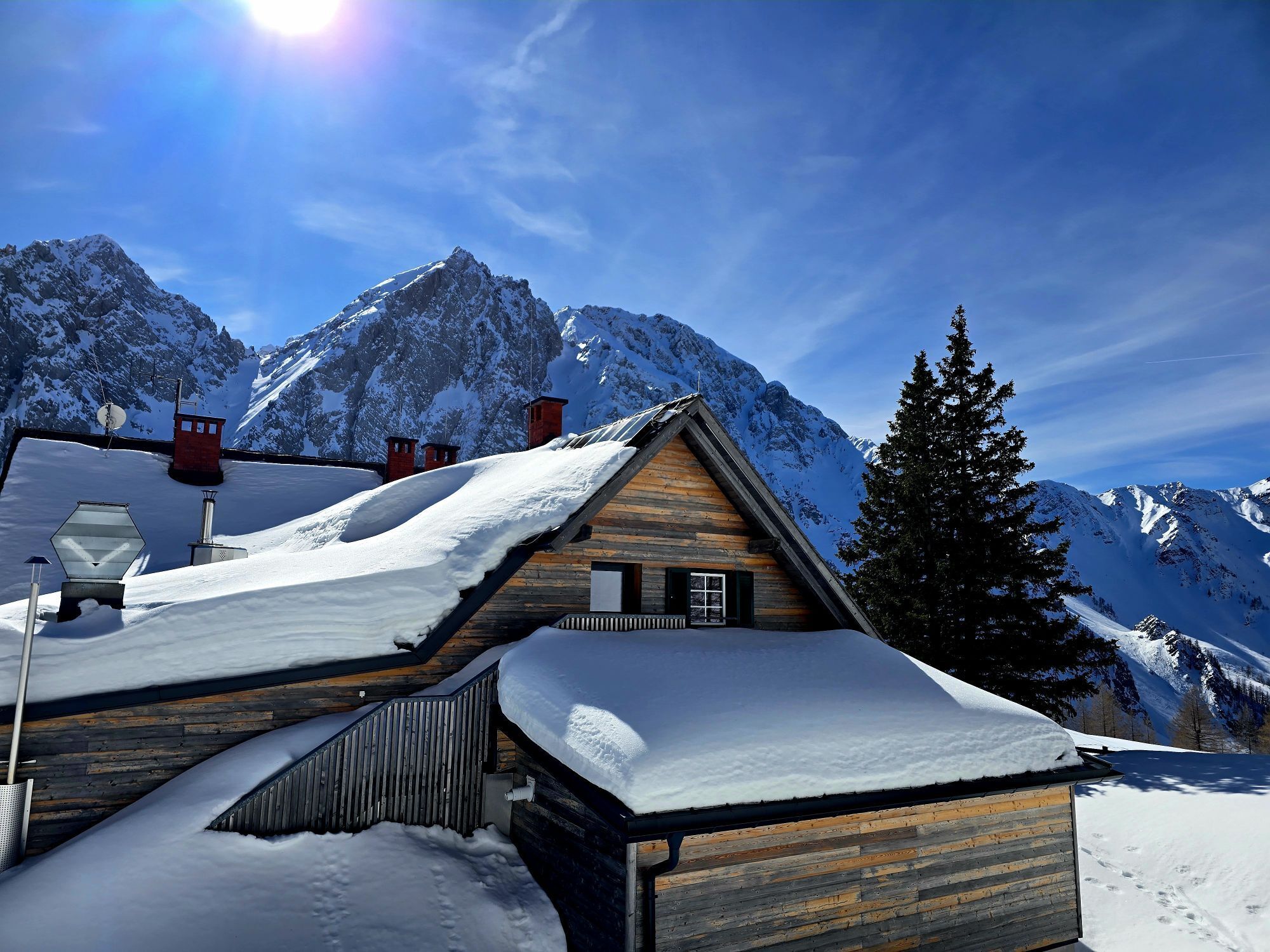
Popular ascent to the highest summit of the Karawanks, often crowded on weekends. Danger of falling rocks!
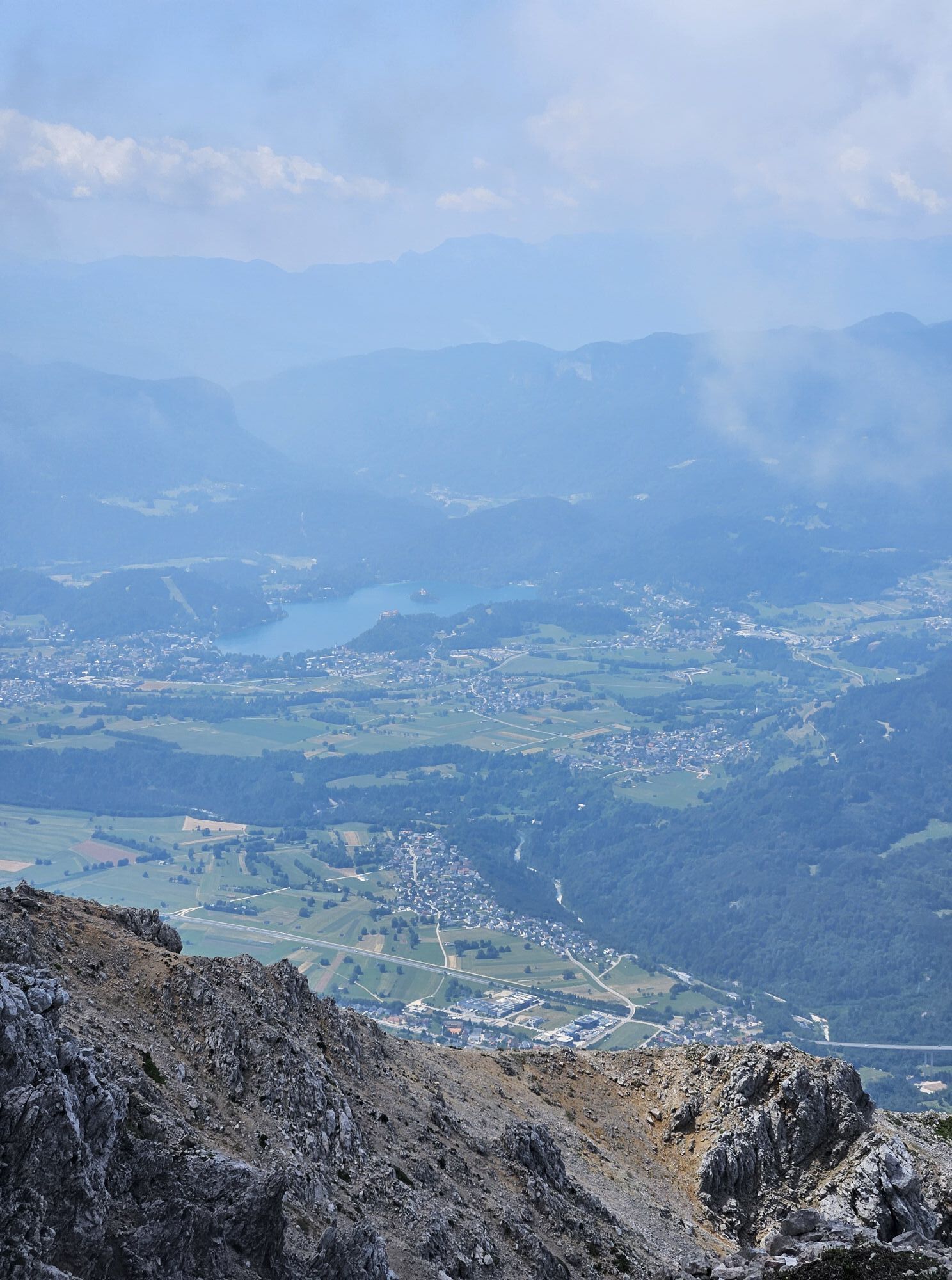
Great view from the summit and a 2-country route.
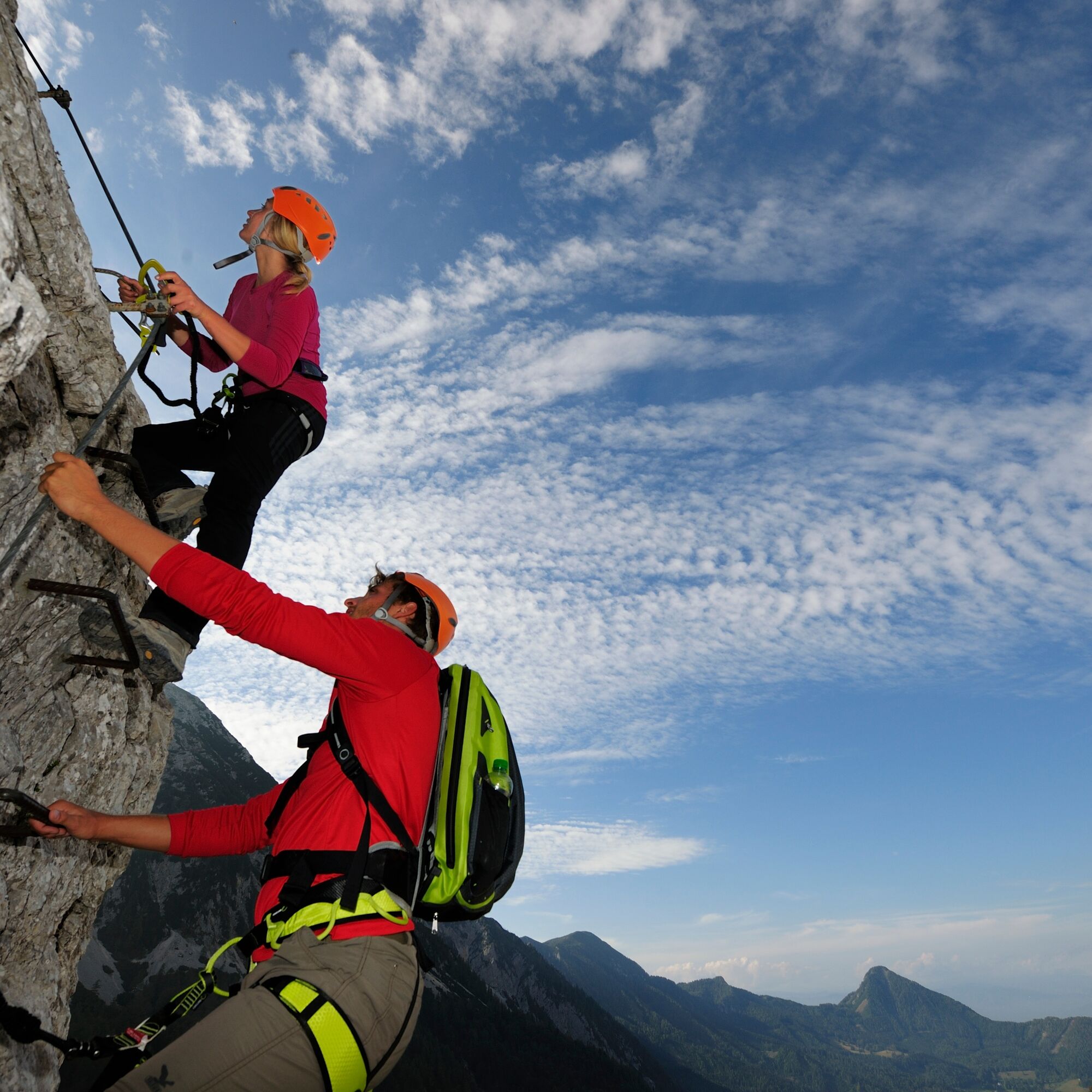
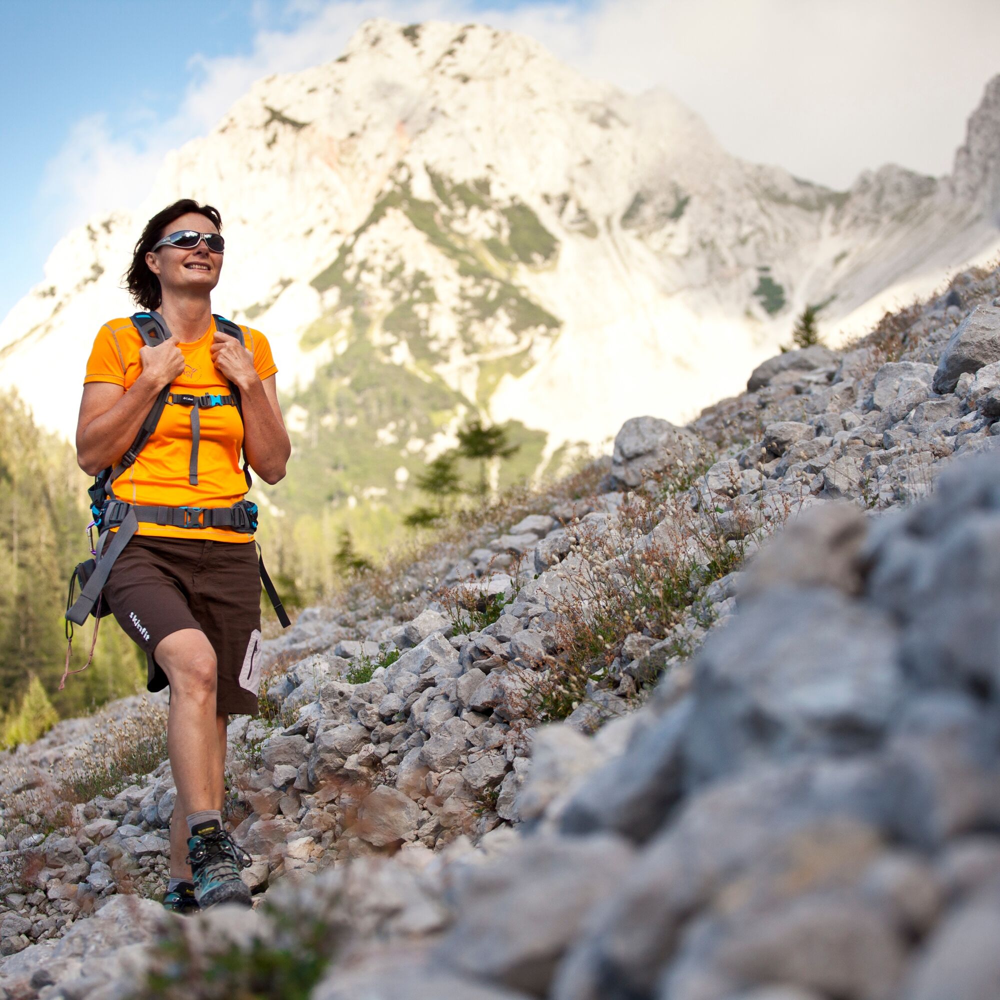
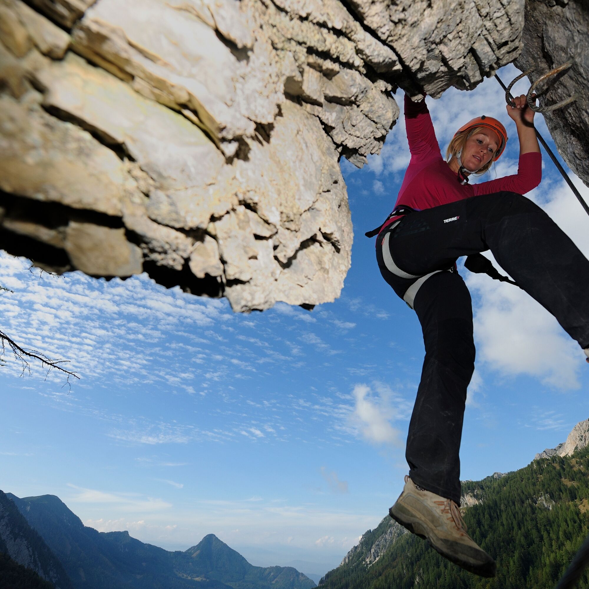
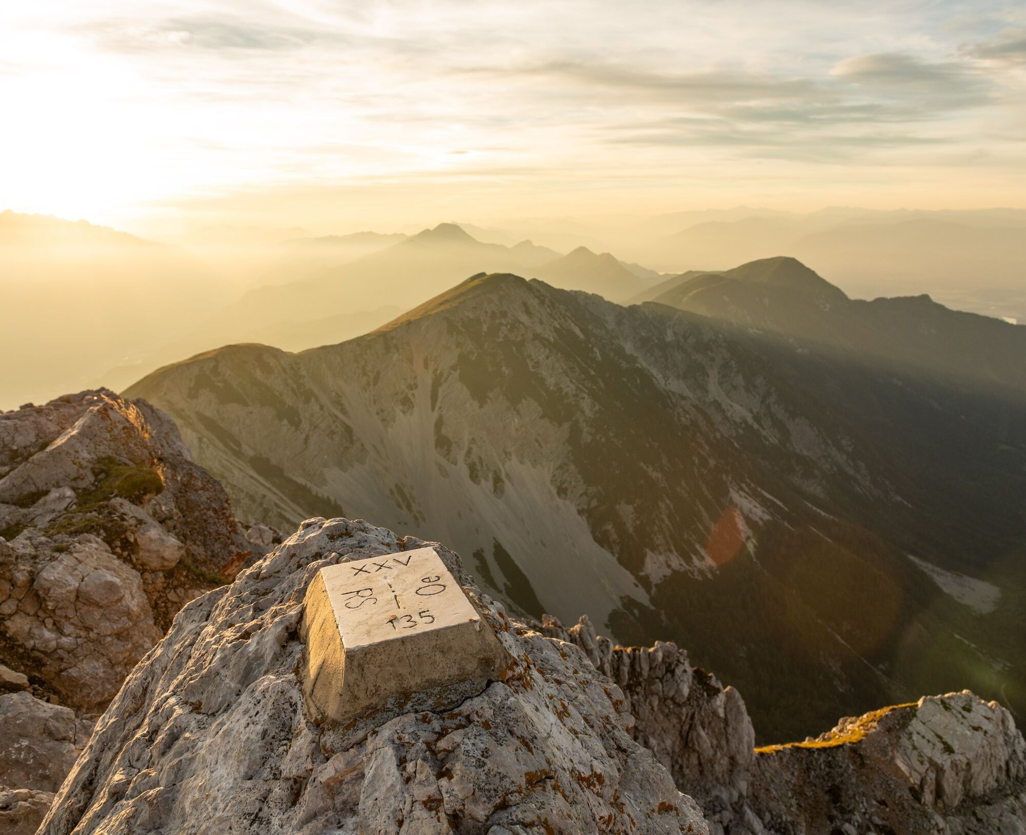
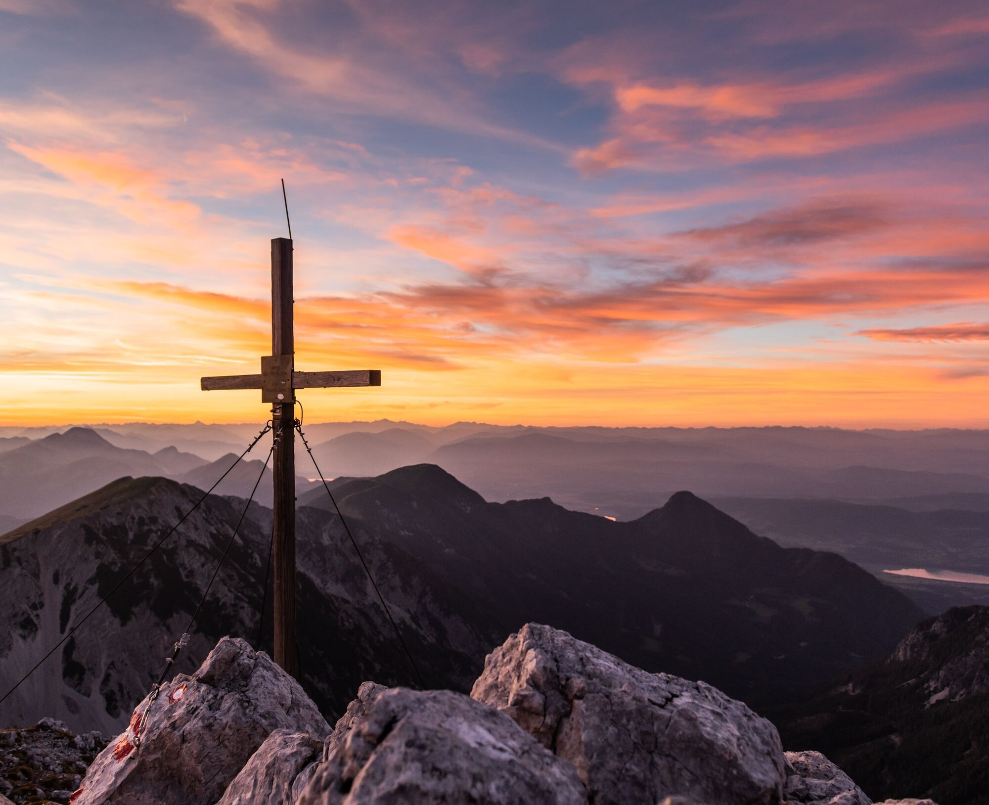
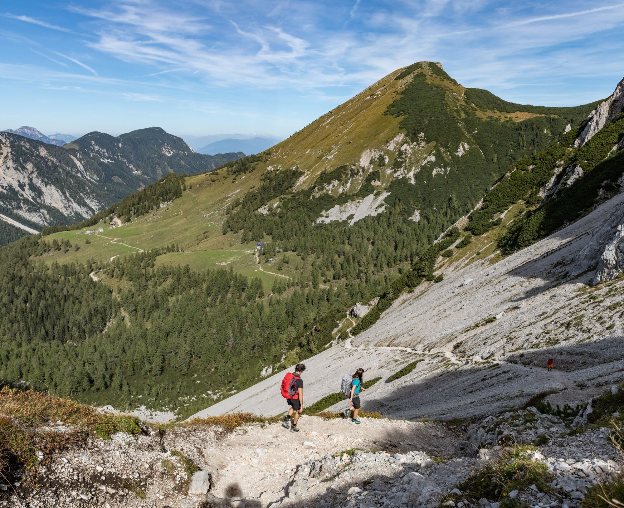
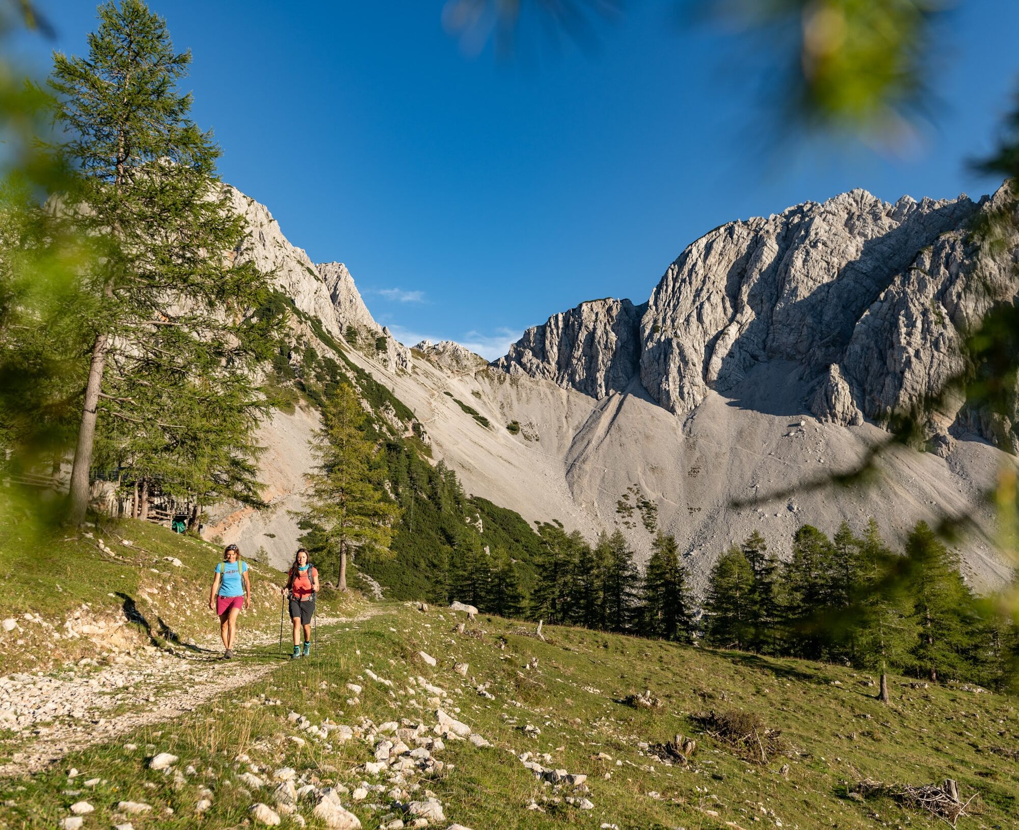
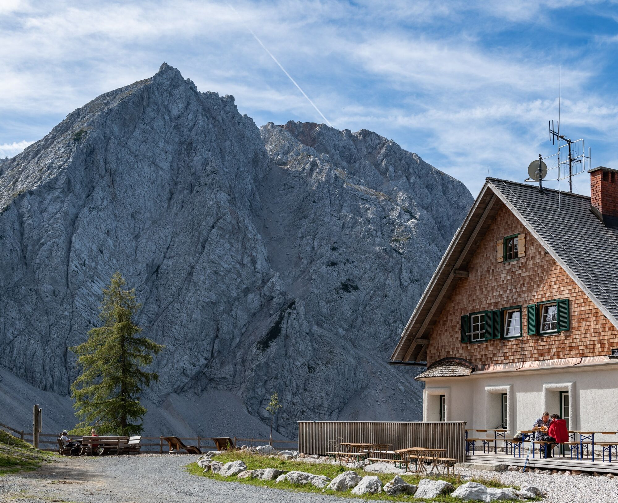

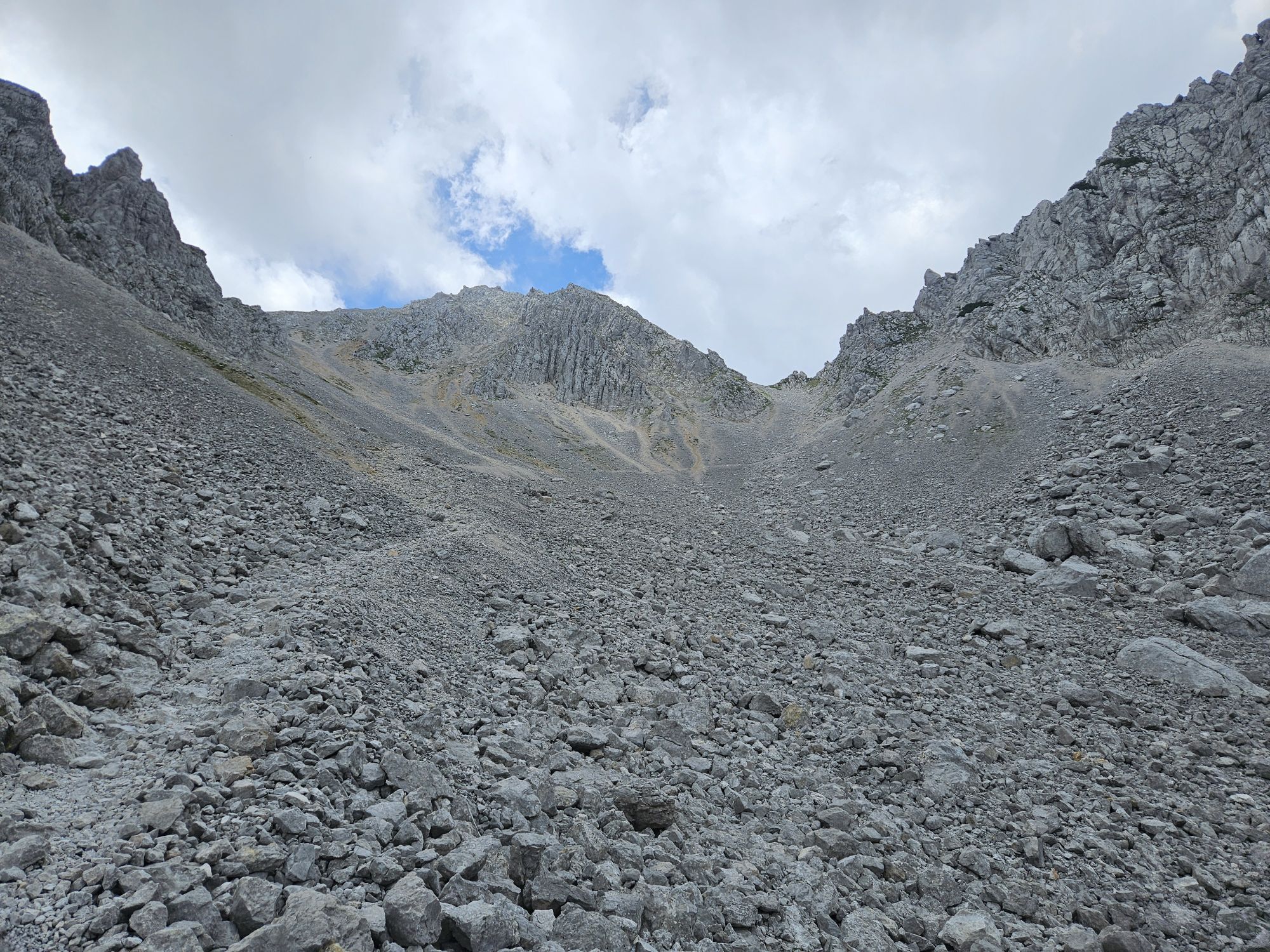
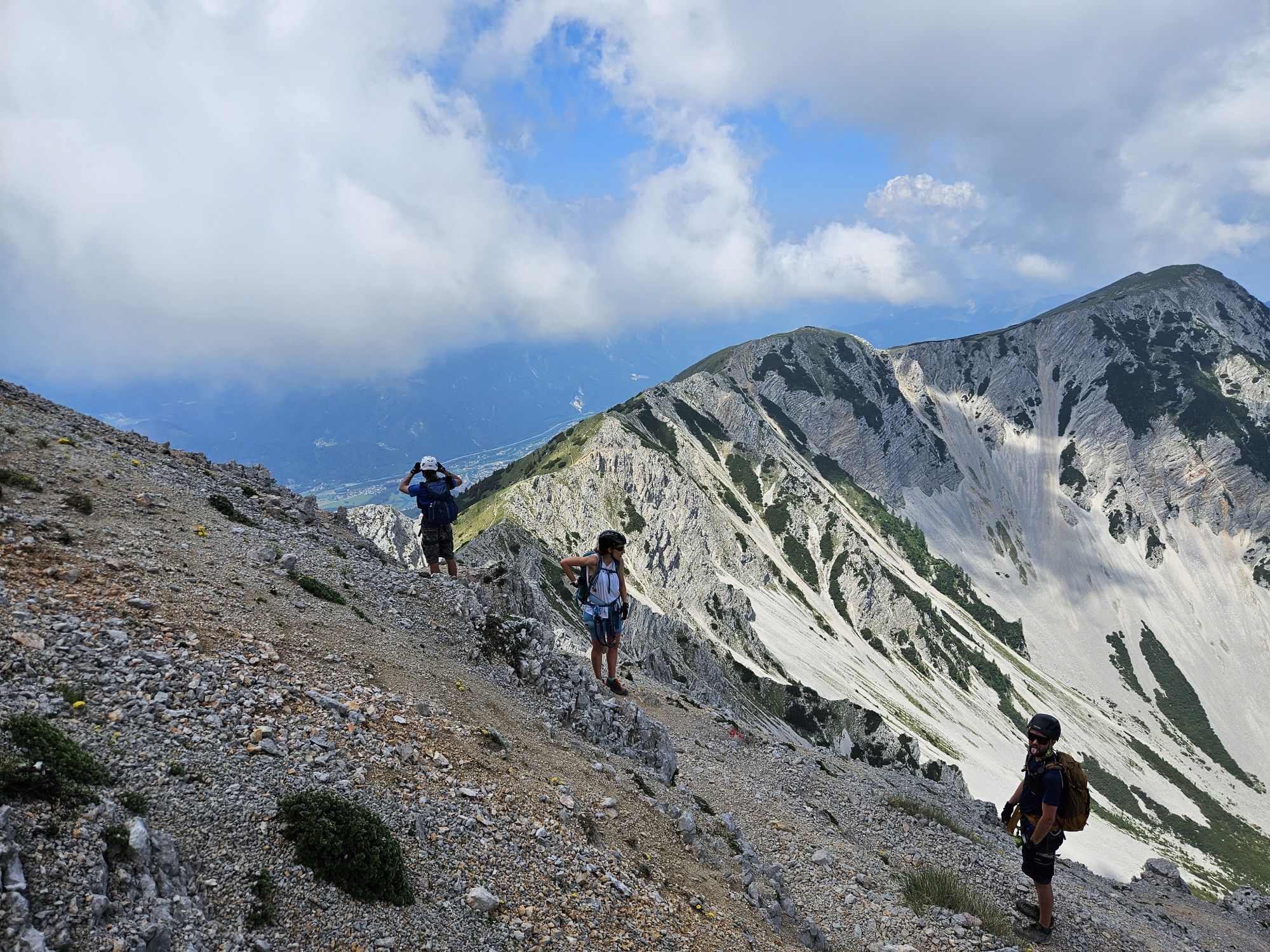
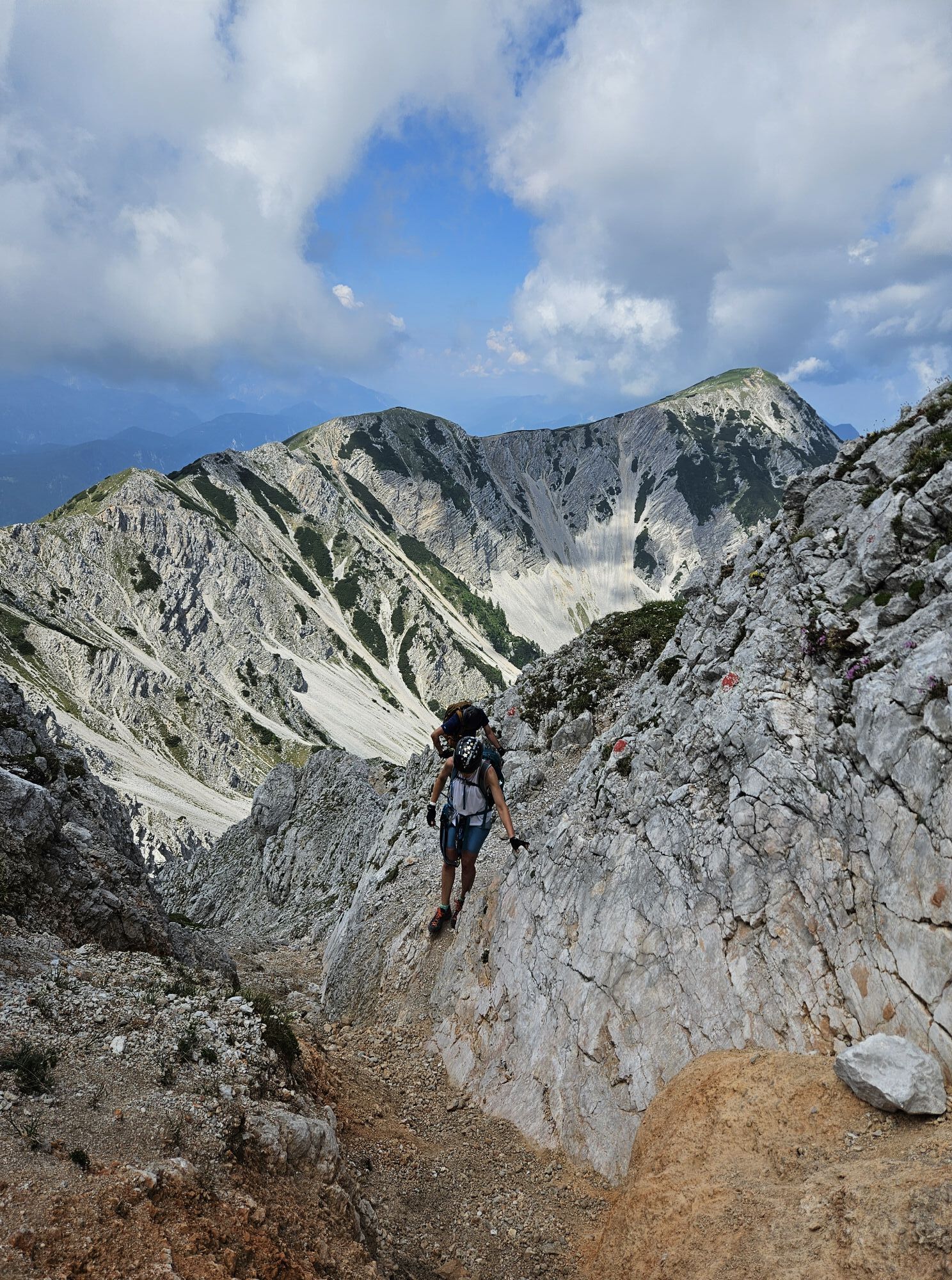
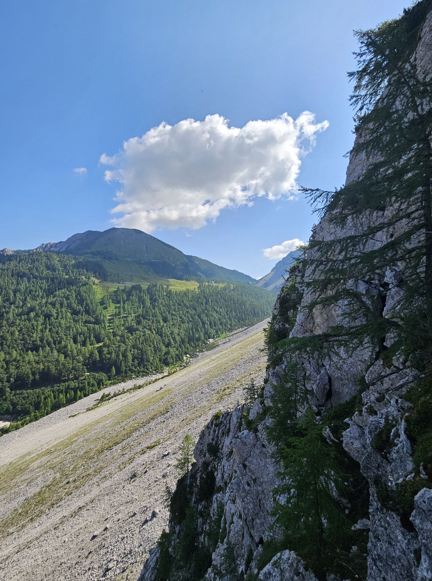
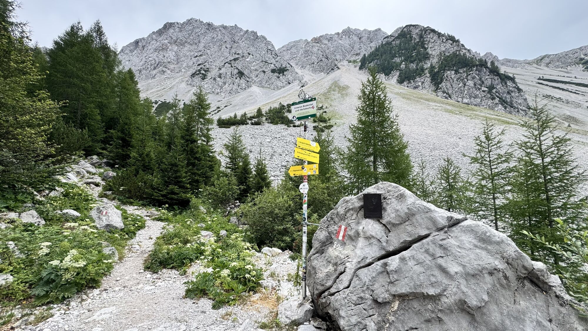
The start is at the lowest point of the north ridge, reached across a talus field. Very steep and exposed climbing onto a projection (wire cable, row of clips). Over a left slab traverse, you reach a chimney-like gully leading to easier terrain (rest bench). In sparsely wooded terrain (some ropes), pass the junction of the old path, traverse right along protections and then climb up a gully. After a secured crack, you reach walking terrain with some easy secured sections and very light scramble climbing. Over wooden ladders you reach a short ridge section. Then climb up on the right edge of a gully, descend briefly and reach the ridge again. After a short secured section, walking terrain follows until a left traverse leads into a notch. Through a short secured gully upwards, you reach the logbook. Afterwards walking terrain leads to the border ridge (some easy secured sections). On this you first reach the summit cross, located slightly below the highest point, and immediately afterwards the actual summit (logbook).
Da
Complete via ferrata equipment!
Beware of falling rocks! Carry your passport or ID!
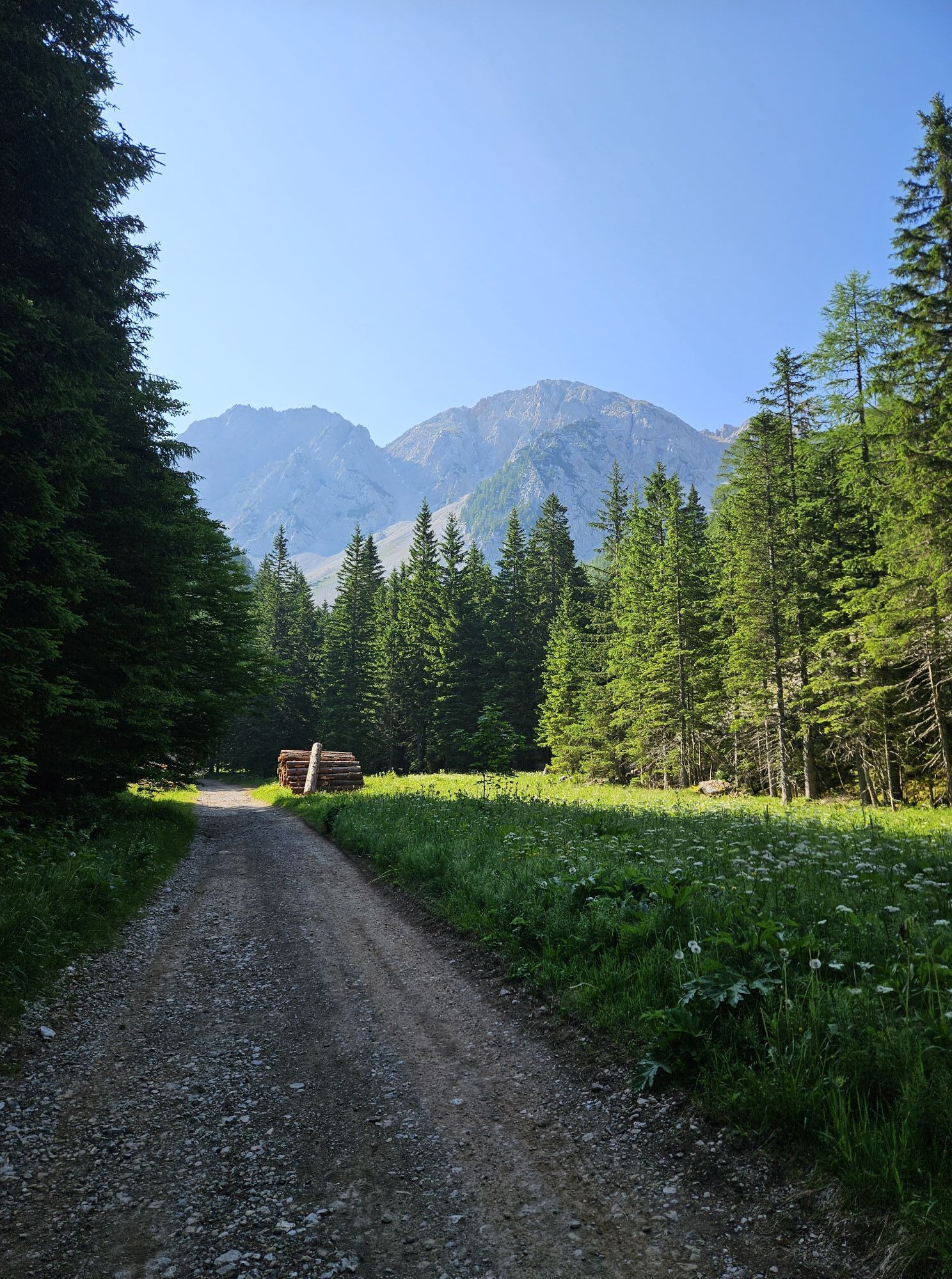
From Feistritz in Rosental into the Bärental, past the Stouhütte parking lot and over a partly very bad gravel road to the last parking lot "Im Winkel".
Parking lot "Im Winkel"
B/C
One spot in the lower part B/C, mostly easier (A/B) especially in the upper part.
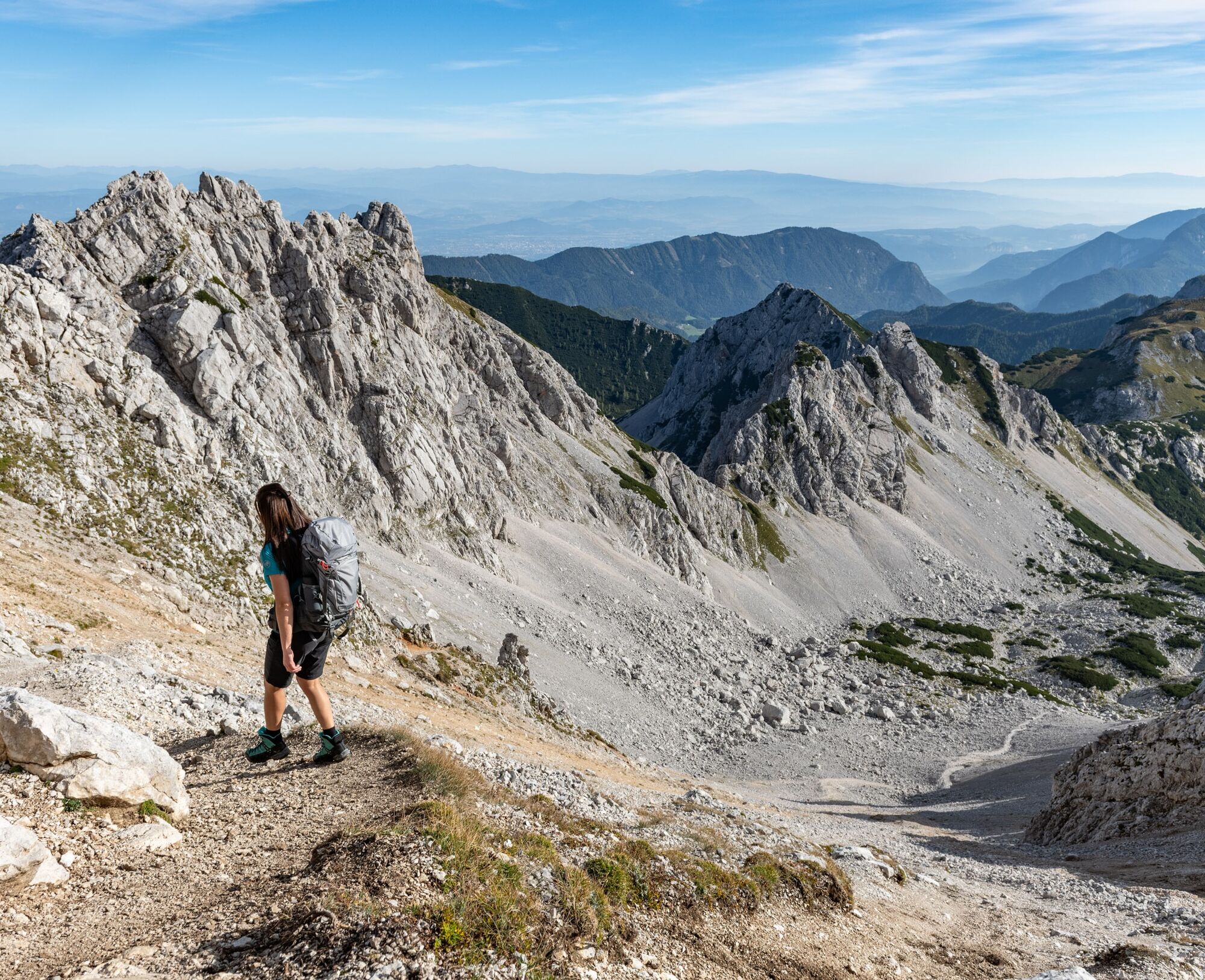
Descent: From the exit, follow the marked path ascending to the summit of Hochstuhl. On Slovenian territory descend into the saddle between Hochstuhl and Kleinstuhl. Then go down straight into a cirque either on a gravel path (unpleasant) or through scree. At a fork, keep left (inscription on rock: "Klagenfurter Hütte"). Ascending once again, pass Bielschitz saddle (state border) and cross descending a scree slope (shortly secured) down to the Klagenfurter Hut. From the hut, return on the forest road or hiking trail back to the ascent path.
Stopover in the Slovenian Preschern hut
 Pridobite vpogled
Vedno v živo na mestu z več kot 9.500 spletnimi kamerami. bergfex Kot uporabnik Pro si lahko zdaj ogledate ustrezne spletne kamere za številne izlete v aplikaciji izleti iz. Tako si lahko neposredno ogledate trenutne razmere.
Pridobite vpogled
Vedno v živo na mestu z več kot 9.500 spletnimi kamerami. bergfex Kot uporabnik Pro si lahko zdaj ogledate ustrezne spletne kamere za številne izlete v aplikaciji izleti iz. Tako si lahko neposredno ogledate trenutne razmere.
Dejavnosti na poti
-

Feistritz im Rosental, Kärnten/Österreich
09.08.2026 – Pohodništvo -

Hochstuhl Runde
08.08.2026 – Pohodništvo -

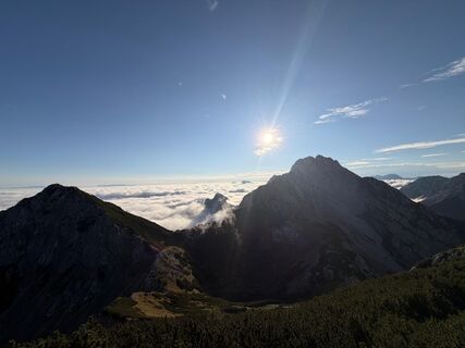
Edelweißspitze
08.08.2026 – Gorski pohodništvo -
Feistritz im Rosental, Kärnten/Österreich
26.07.2026 – Gorski pohodništvo -
Feistritz im Rosental, Kärnten/Österreich
24.07.2026 – Pohodništvo -
Feistritz im Rosental, Kärnten/Österreich
17.07.2026 – Pohodništvo -
Feistritz im Rosental, Kärnten/Österreich
11.07.2026 – Pohodništvo -
Feistritz im Rosental, Kärnten/Österreich
11.07.2026 – Gorski pohodništvo -

Feistritz im Rosental, Kärnten/Österreich
10.07.2026 – Pohodništvo -
Bielschitza
05.07.2026 – Pohodništvo -

Feistritz im Rosental, Kärnten/Österreich
03.07.2026 – Pohodništvo -

Feistritz im Rosental, Kärnten/Österreich
22.06.2026 – Pohodništvo -

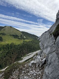
Feistritz im Rosental, Kärnten/Österreich
14.06.2026 – Pohodništvo -

Feistritz im Rosental, Kärnten/Österreich
13.06.2026 – Pohodništvo -

Feistritz im Rosental, Kärnten/Österreich
06.06.2026 – Pohodništvo -
Feistritz im Rosental Pješačenje
04.06.2026 – Gorski pohodništvo -
Feistritz im Rosental, Kärnten/Österreich
30.05.2026 – Visokogorska tura -
Feistritz im Rosental, Kärnten/Österreich
24.05.2026 – Visokogorska tura -
Feistritz im Rosental, Kärnten/Österreich
26.04.2026 – Pohodništvo -

Scheraunitz, Slowenien
23.04.2026 – Gorski pohodništvo
Priljubljeni izleti v okolici
-
4.2
MTB-Tour zur Klagenfurter Hütte
srednjaMountainbike 12.6 km -
3.9
Tscheppaschlucht Ferlach
svetlobaPohodništvo 5.90 km -
4.8
Through the Tscheppaschlucht into the Loibltal
srednjaPohodništvo 4.58 km -
4.6
Srčna pot okrog blejskega jezera
srednjaTematska pot 5.93 km -
4.6
Water experience trail Hainschgraben
srednjaPohodništvo 9.23 km -
4.5
Slow Trail Meerauge
svetlobaPohodništvo 5.25 km -
4.3
From Bärental to the Kosiak (Klagenfurter Hut)
srednjaPohodništvo 9.67 km -
4.6
Sinacher Gupf crossing
srednjaPohodništvo 8.32 km -
4.7
Ogrisalm ab Bodenbauer, Kärnten/Österreich
svetlobaSmučarska tura 11.2 km -
4.1
Through the Tscheppa Gorge to Bodental
srednjaPohodništvo 10.6 km
Pohodništvo in sledenje


Ne zamudite ponudb in navdiha za naslednje počitnice
Vaš e-poštni naslov je bil dodan na poštni seznam.





