







Karawanken Bike Circle

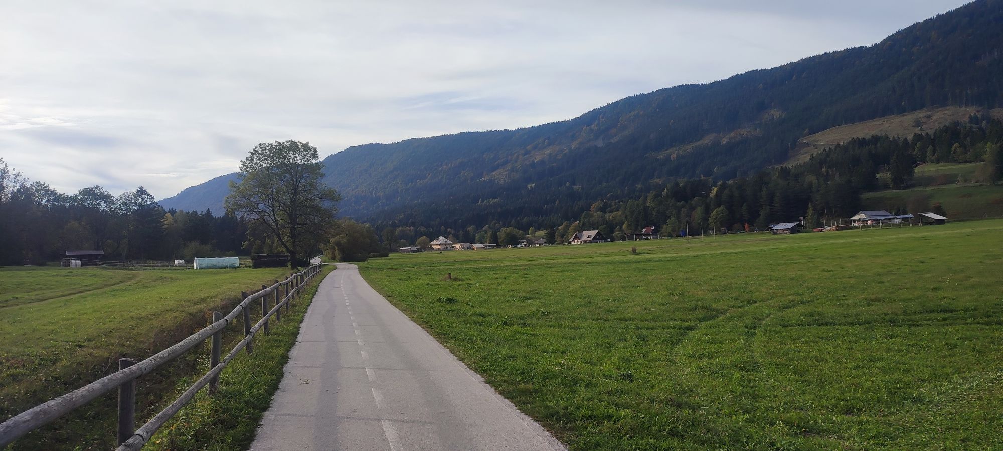
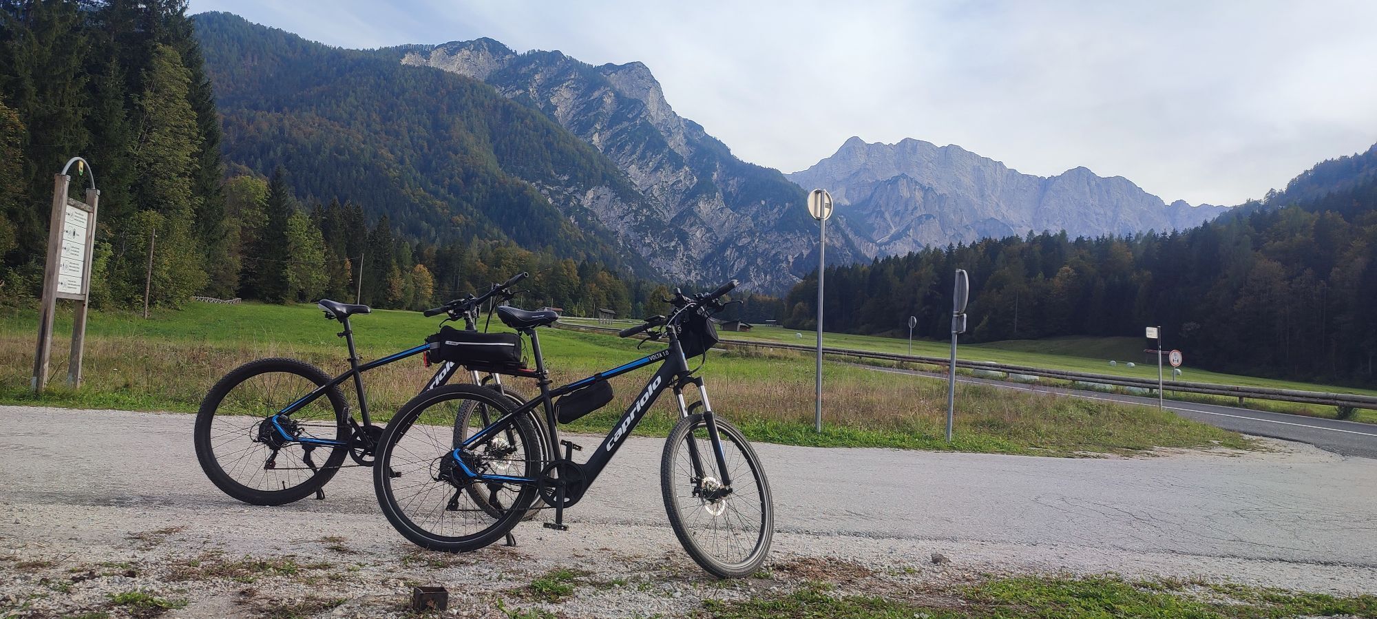
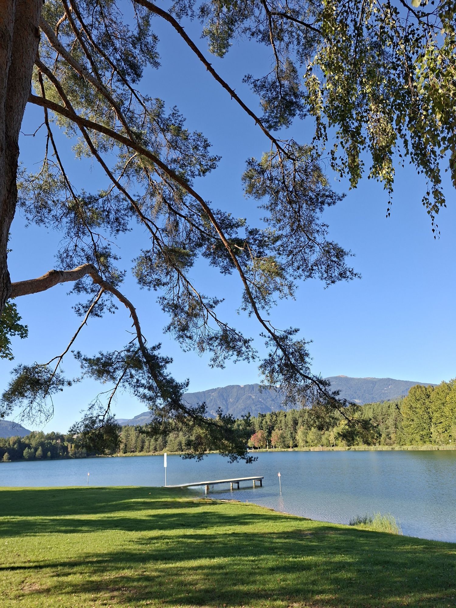
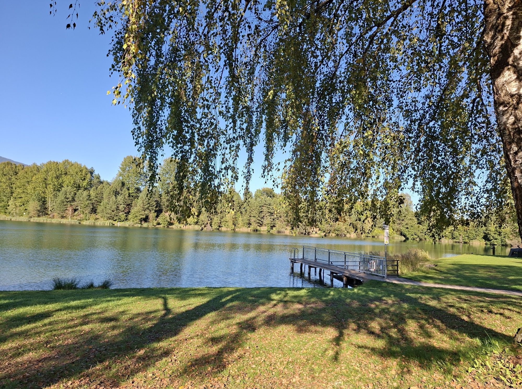
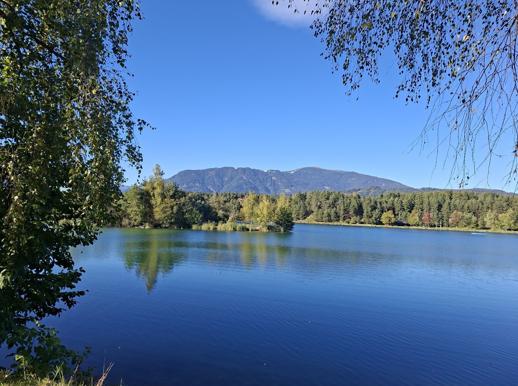
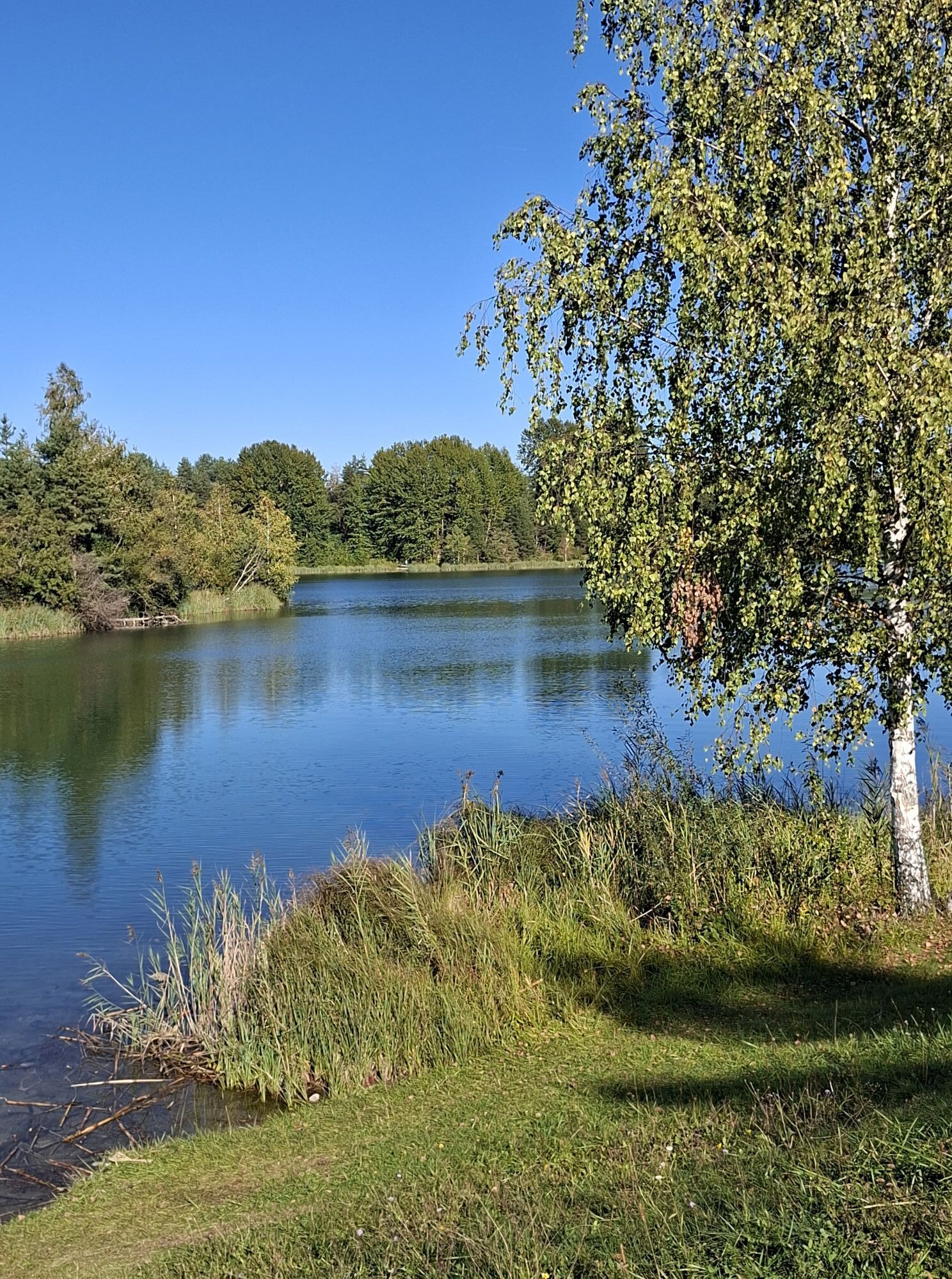
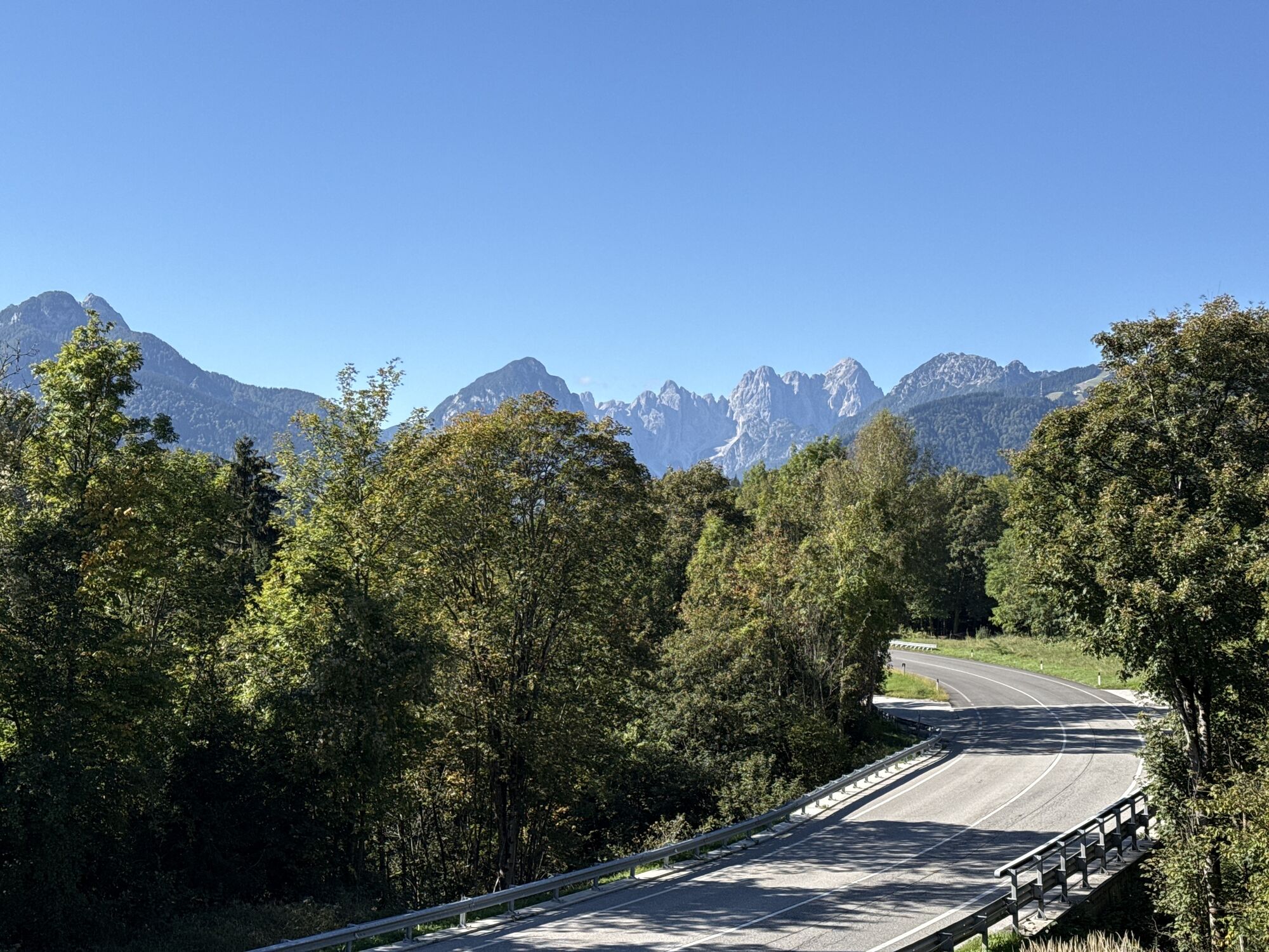
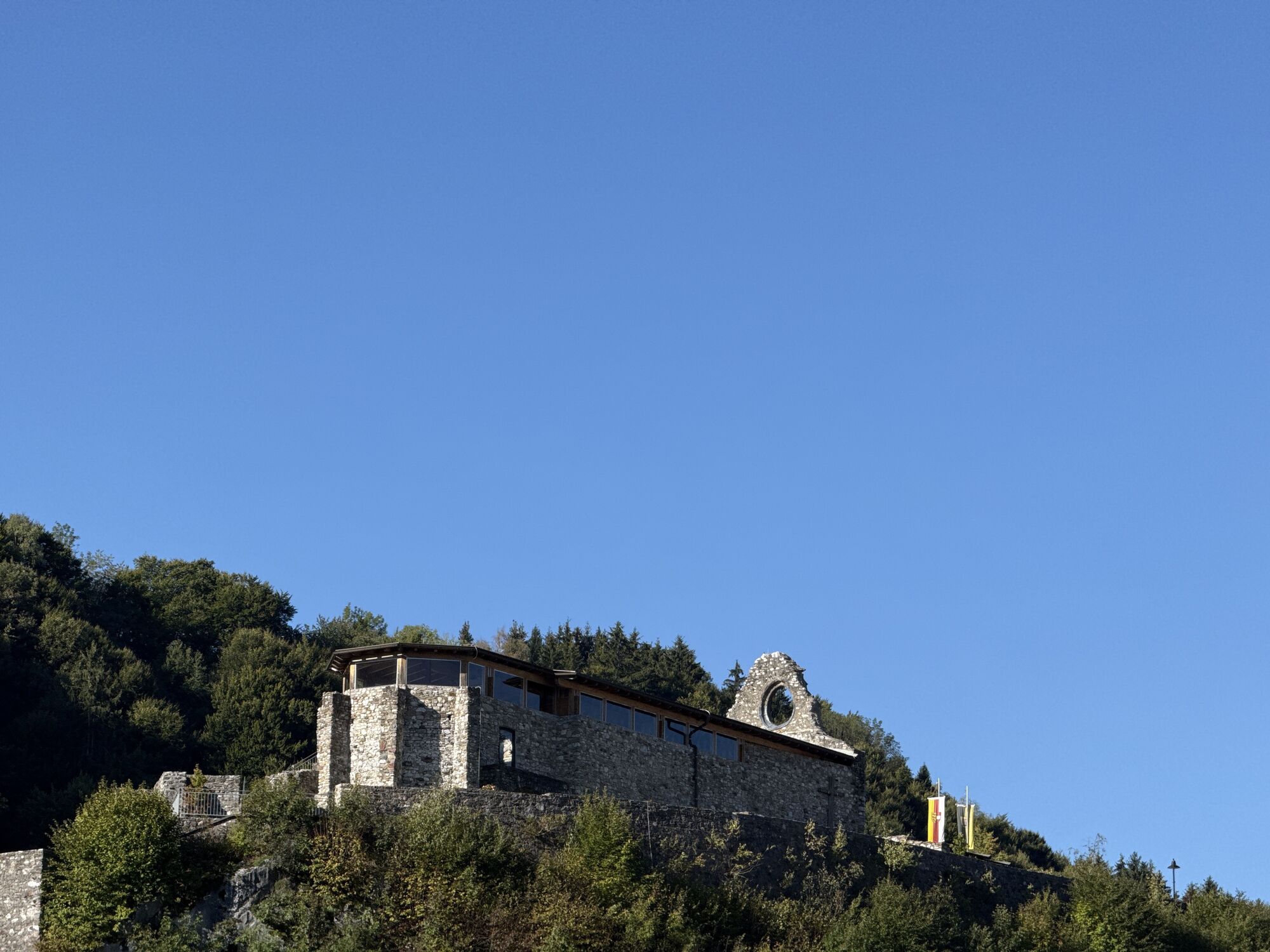
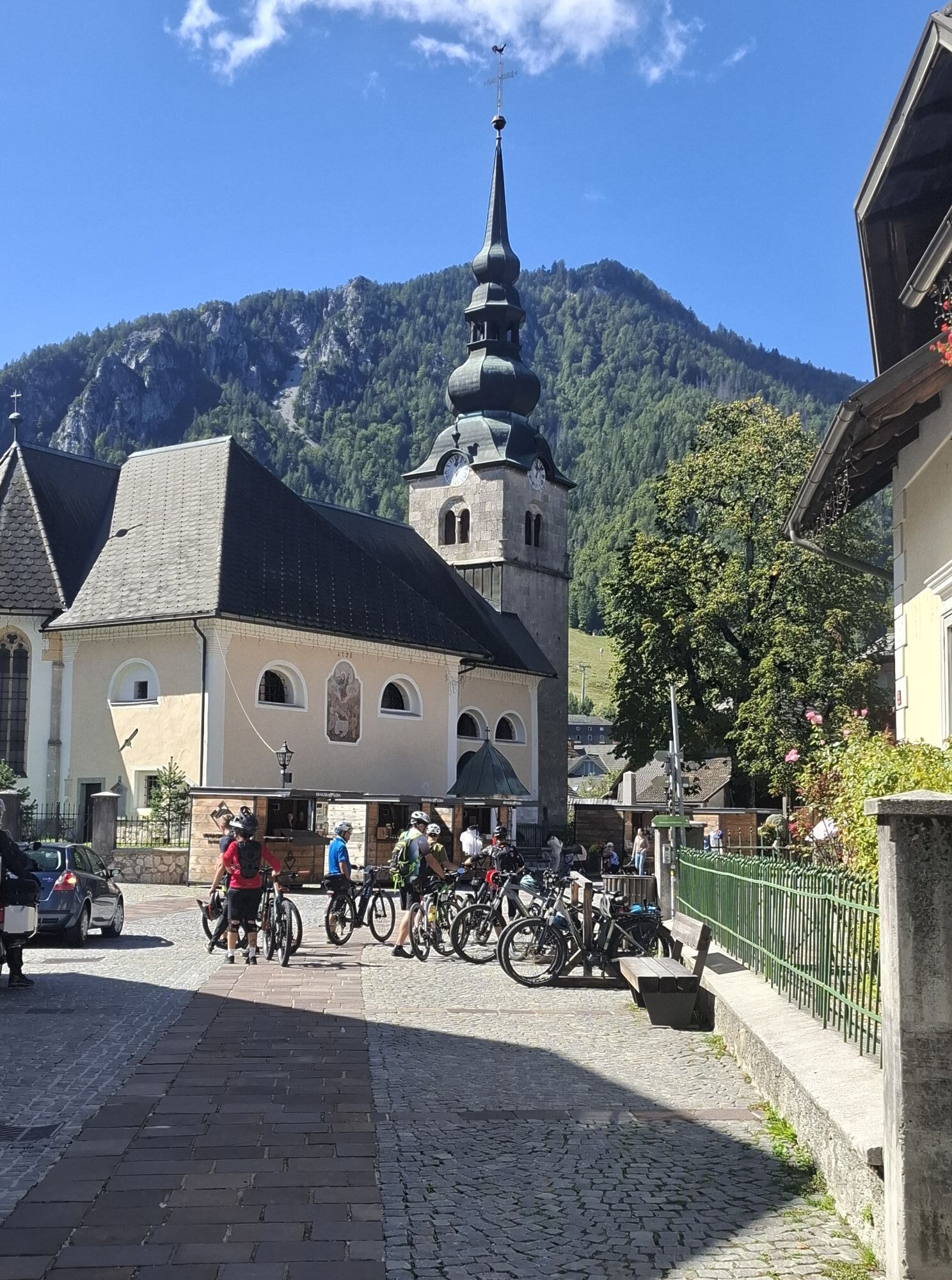
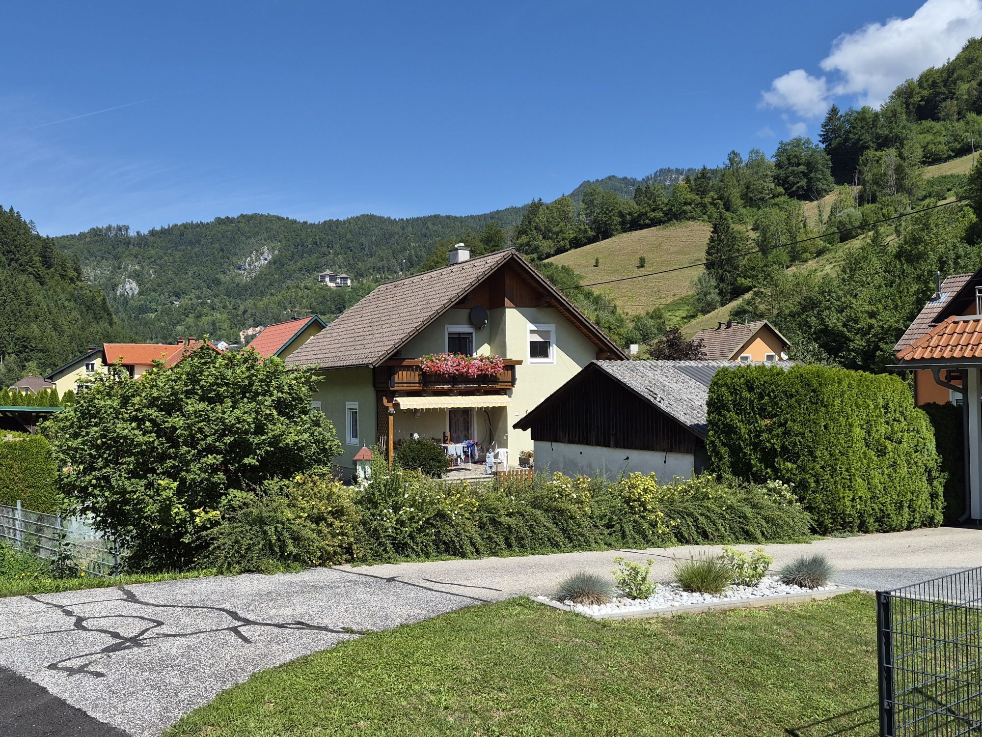
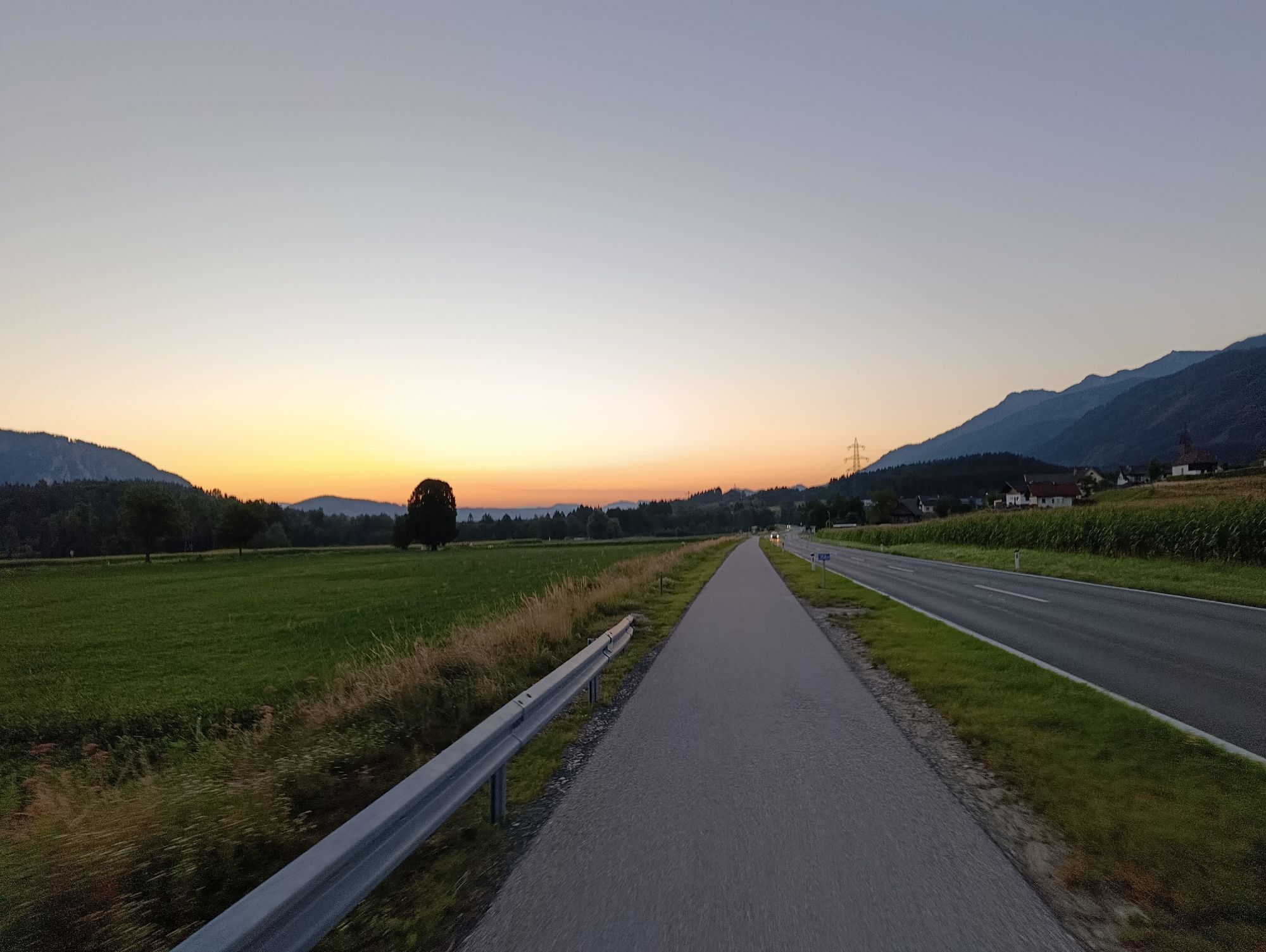
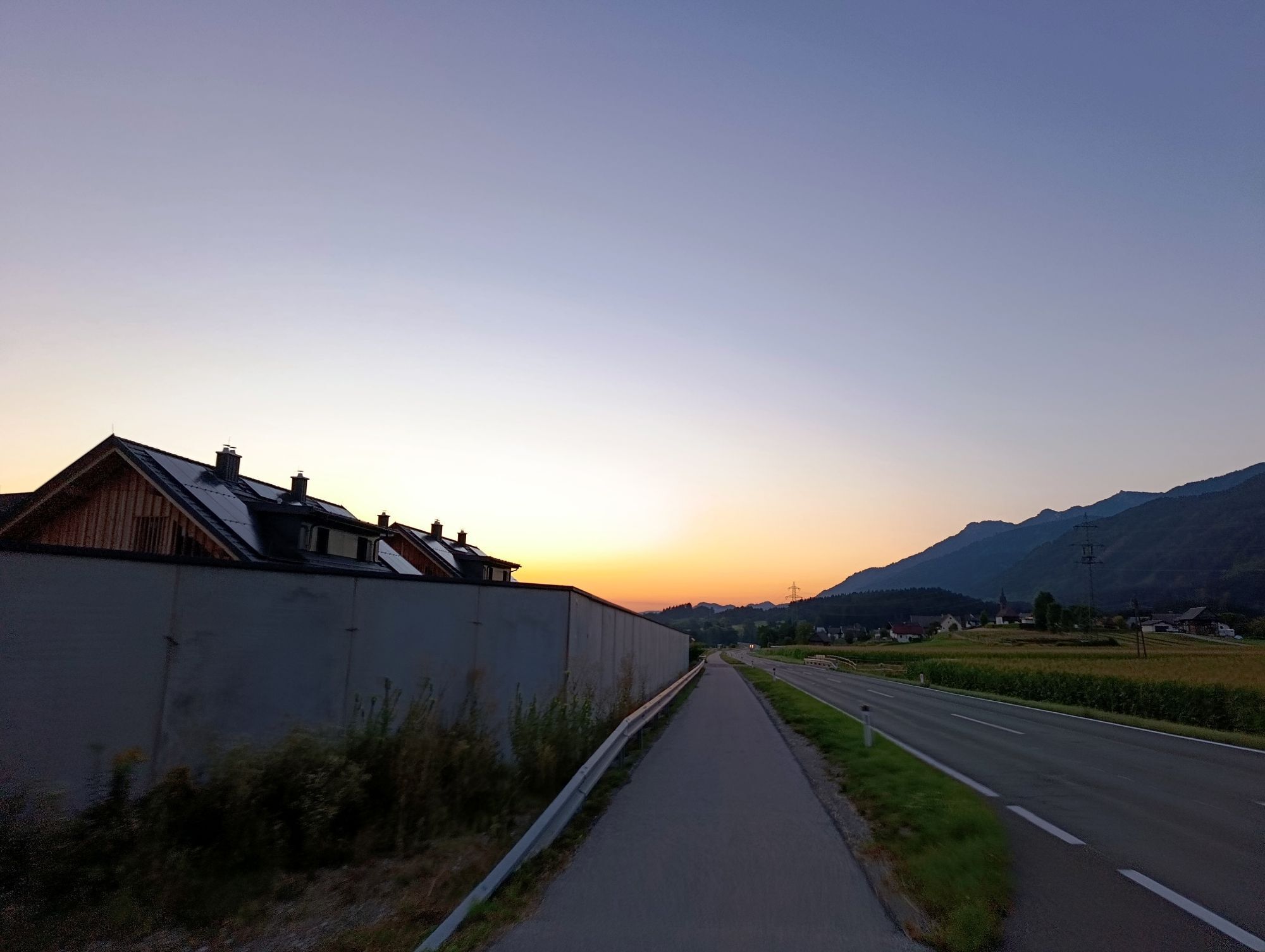
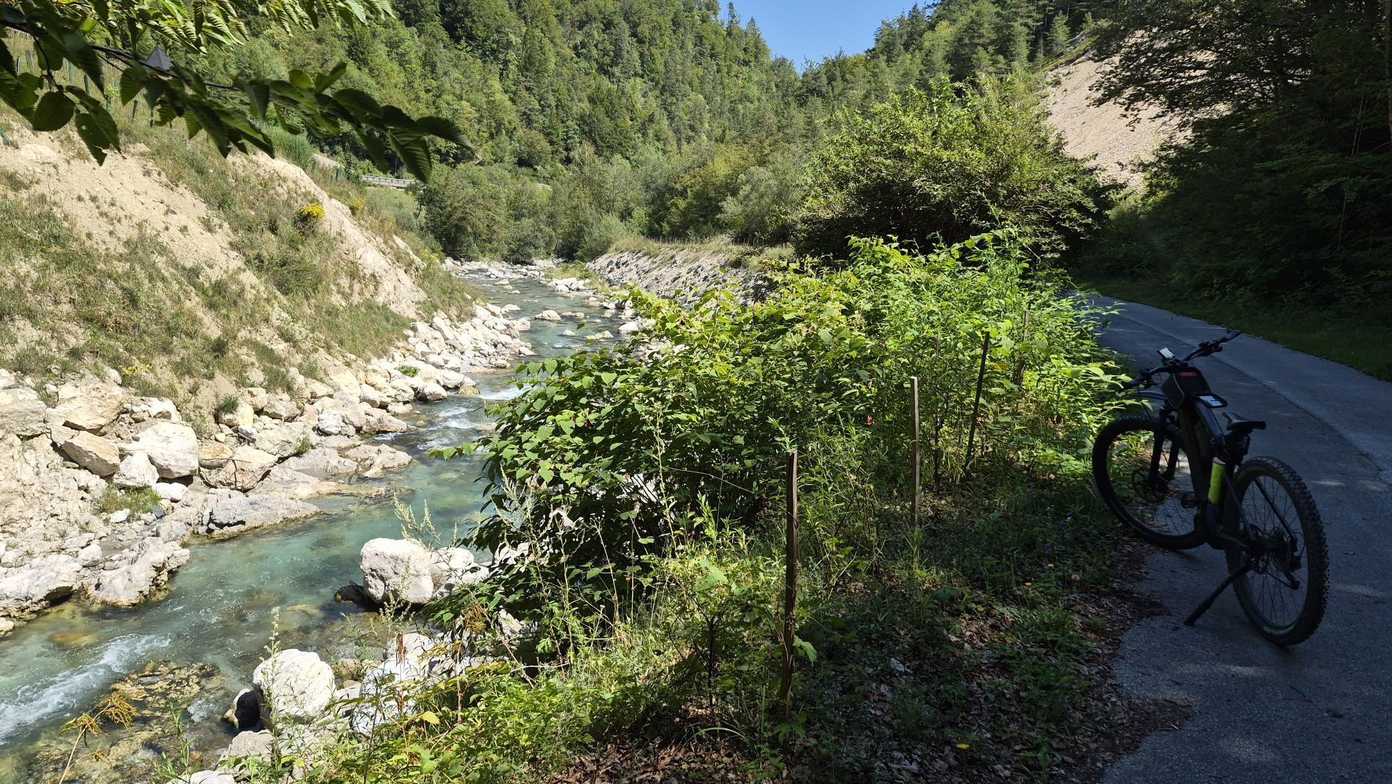
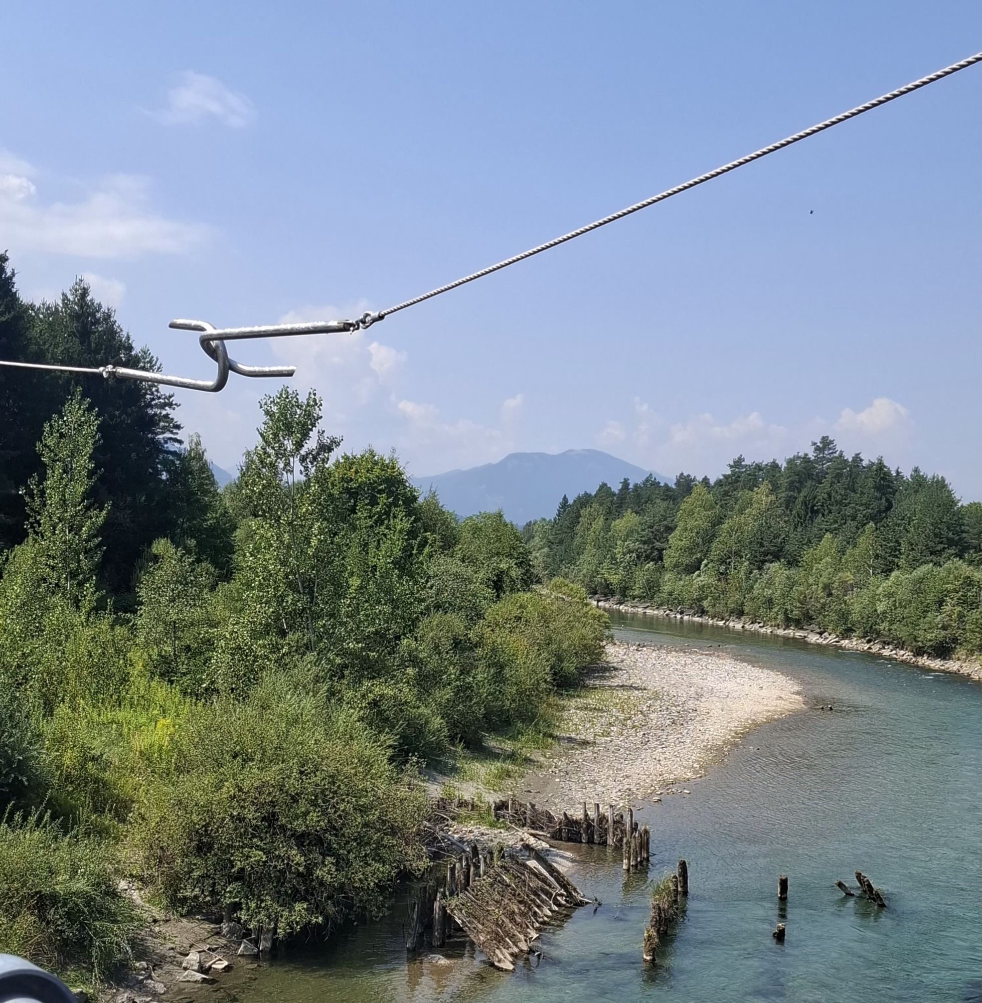
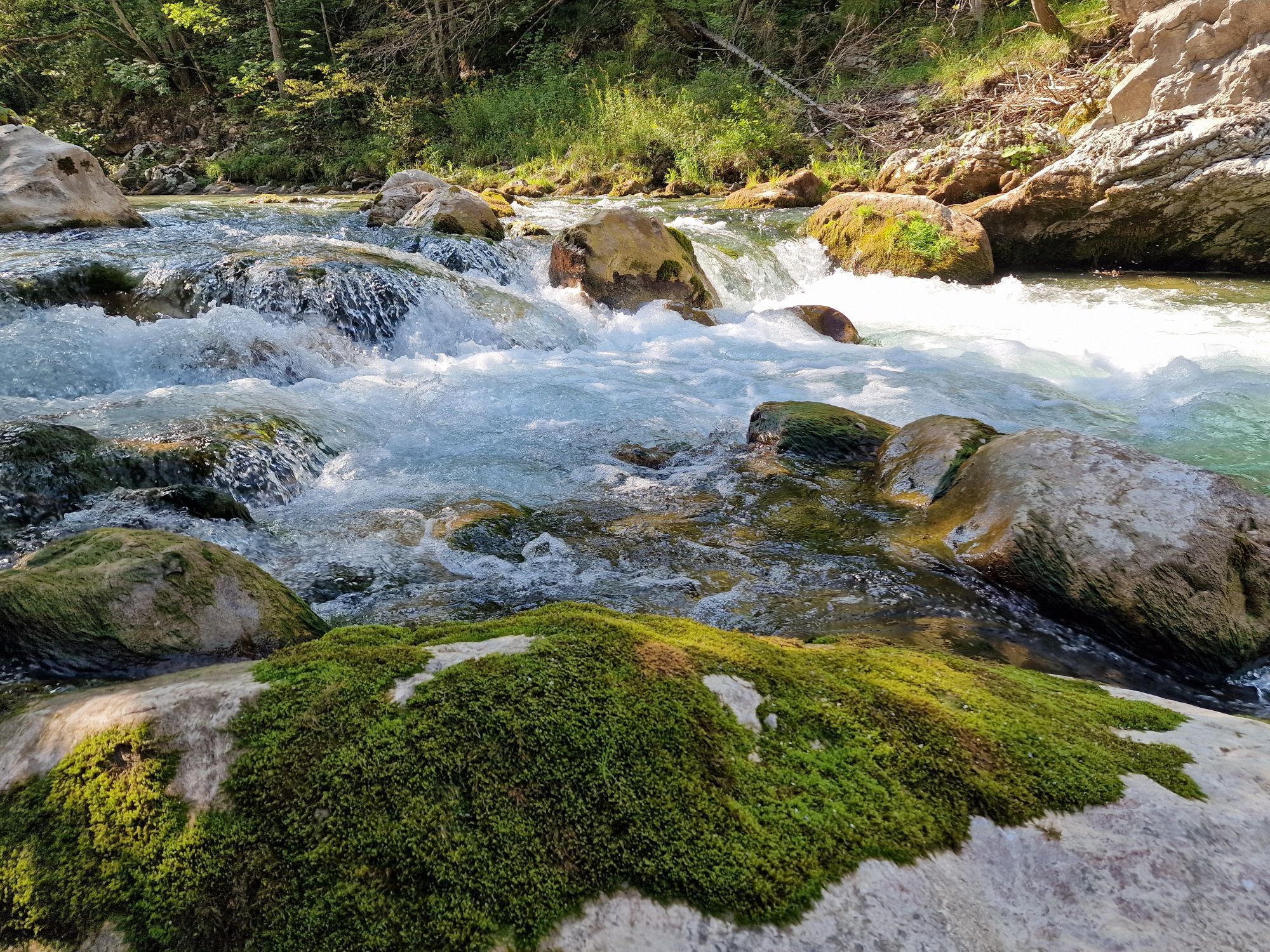
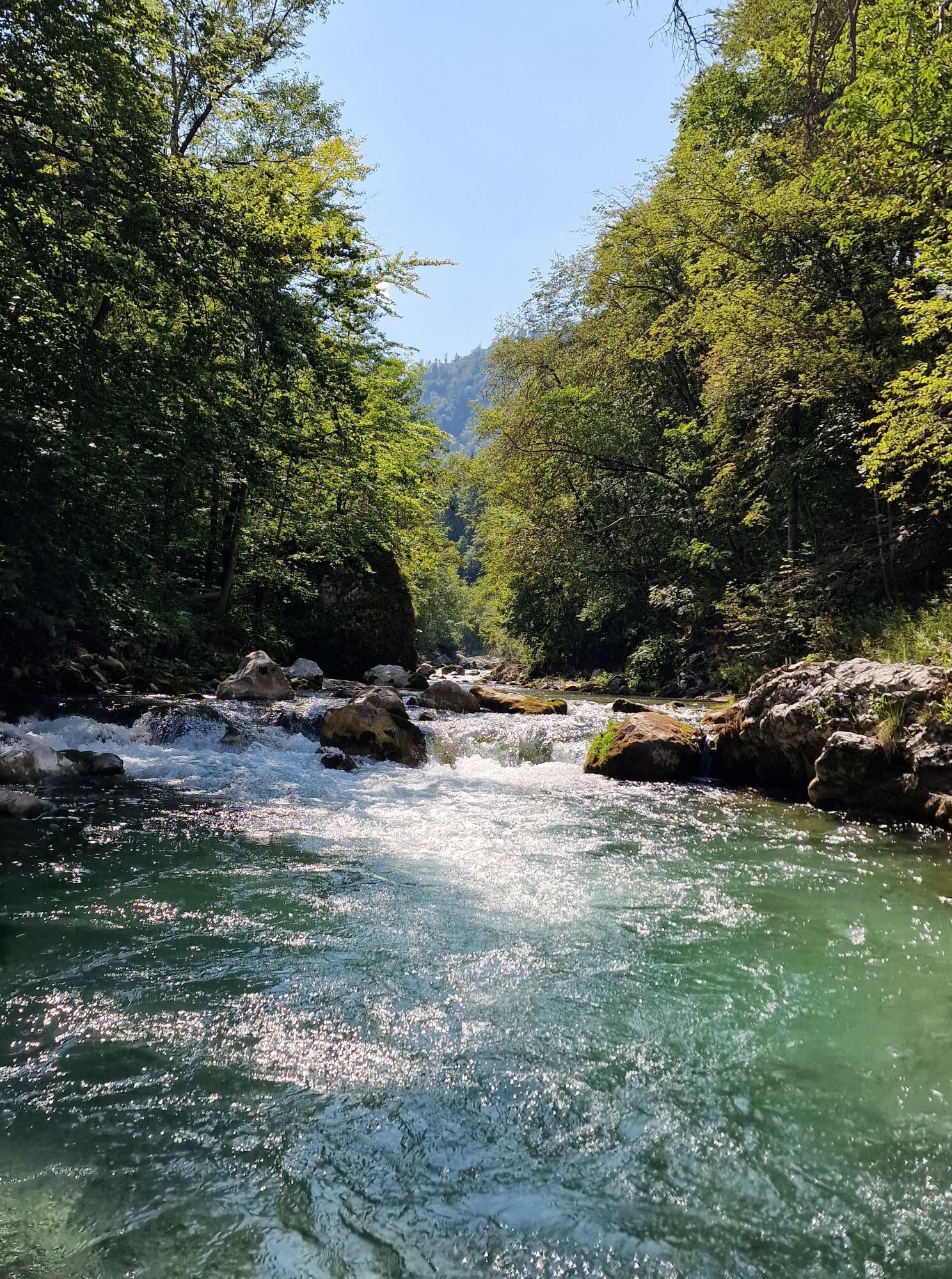
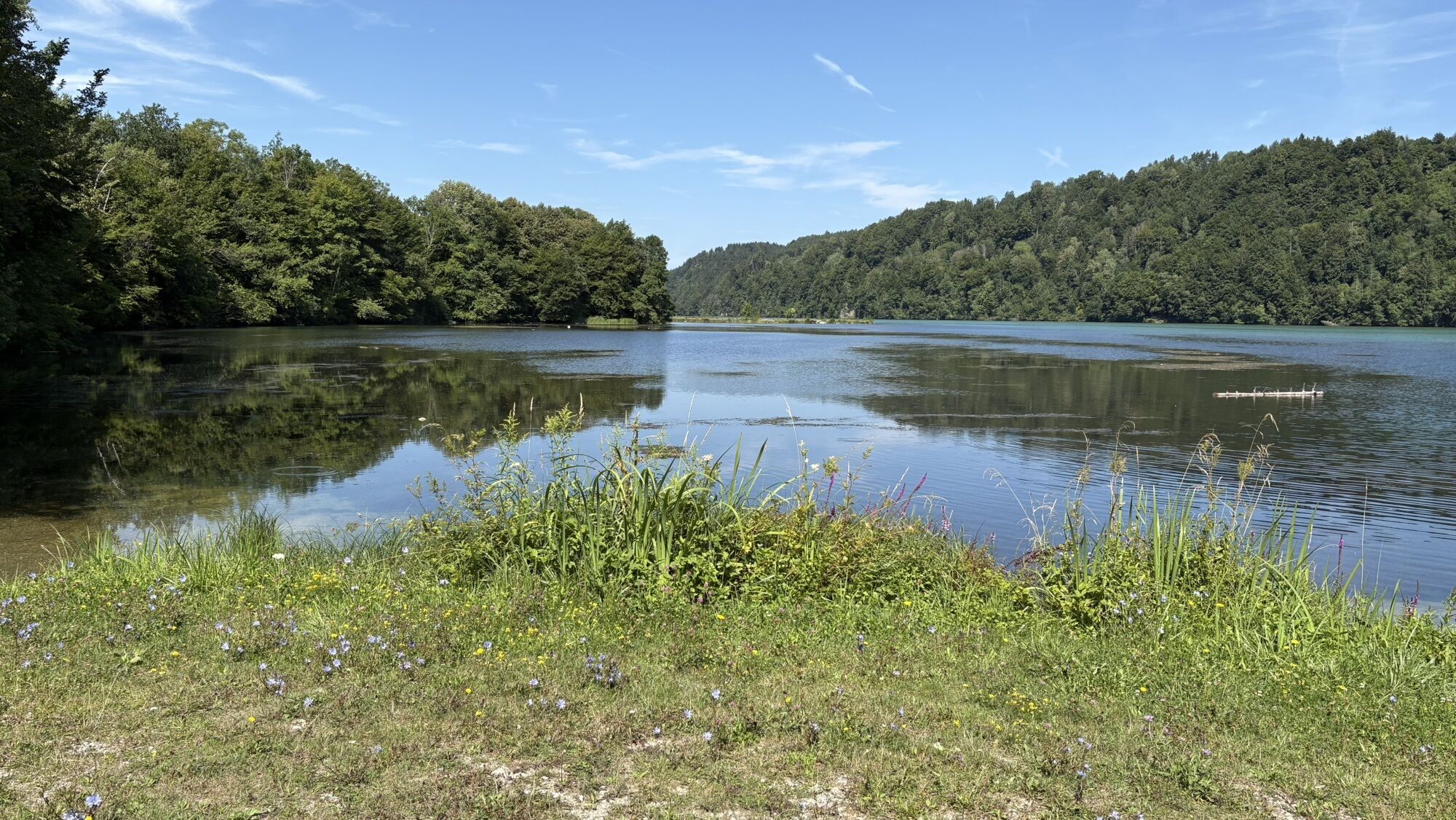
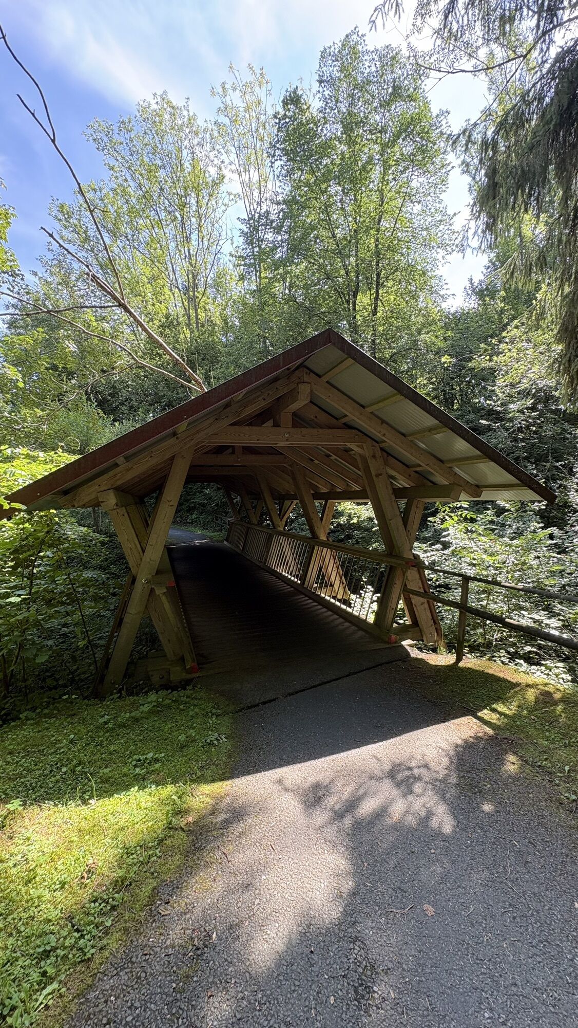
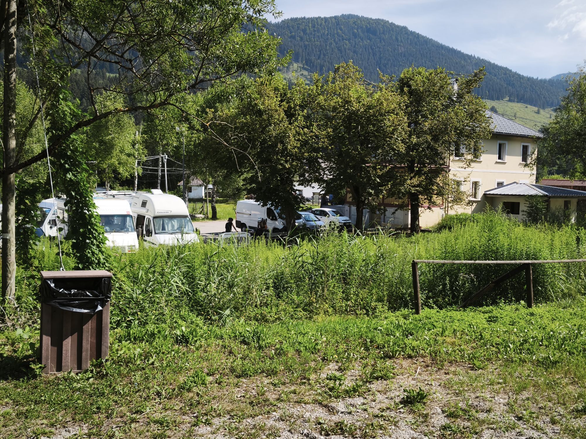
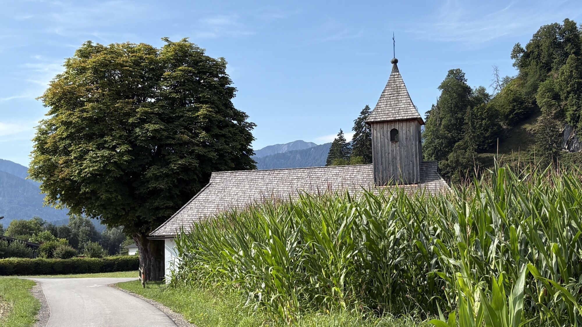
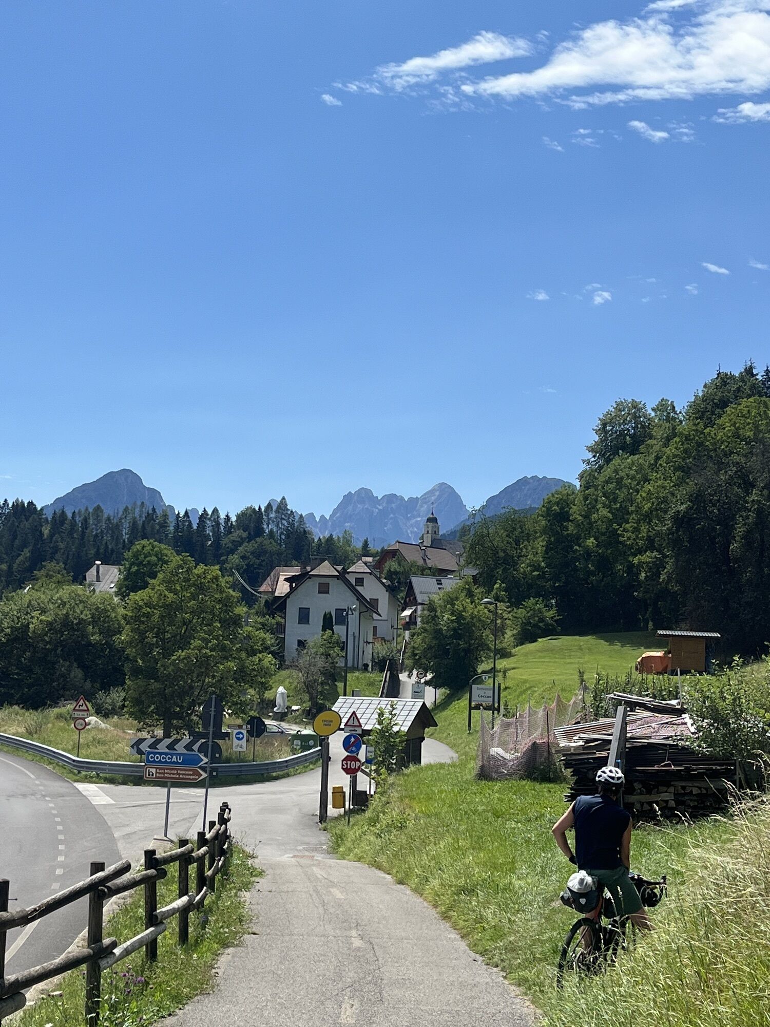
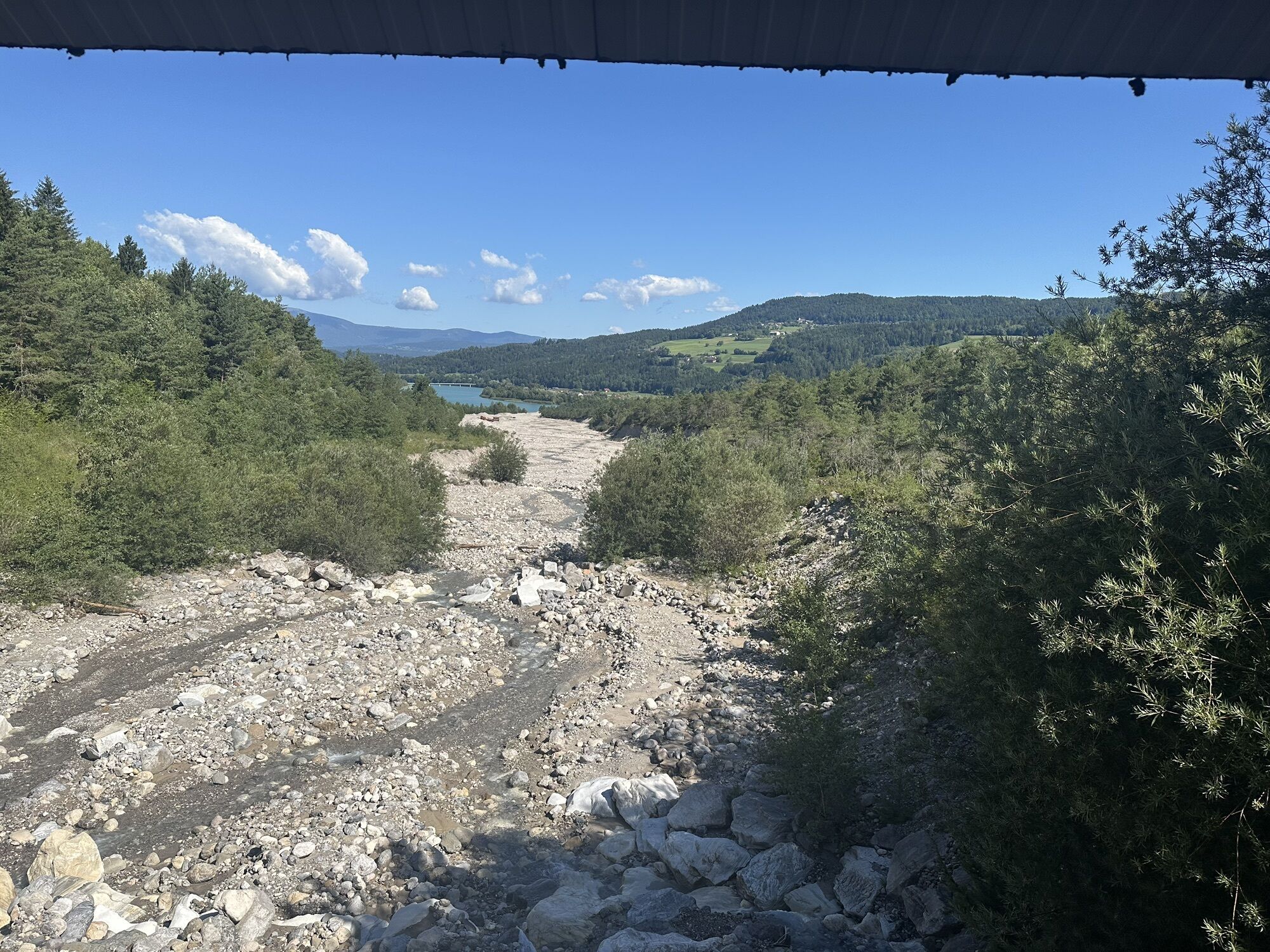
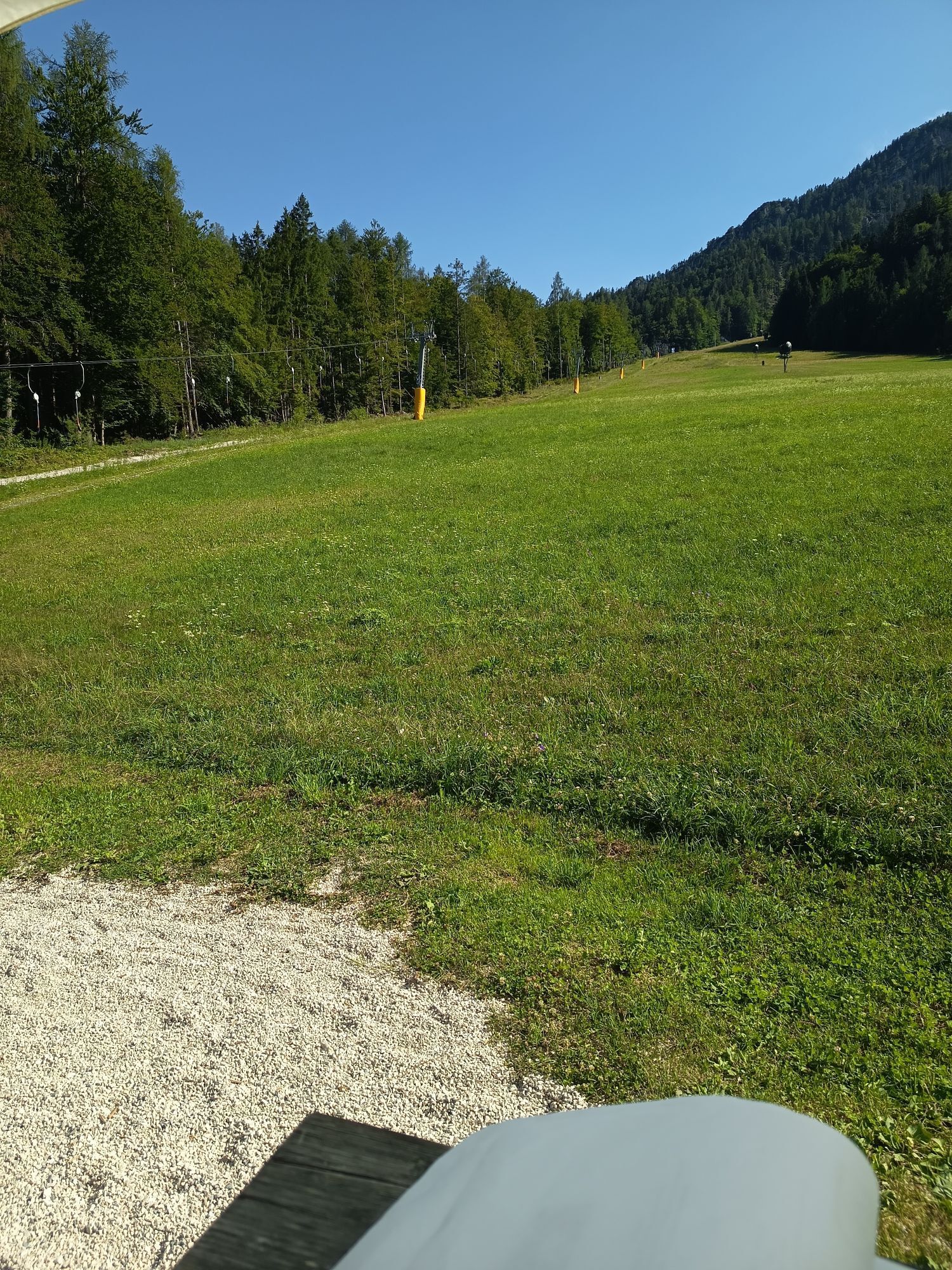
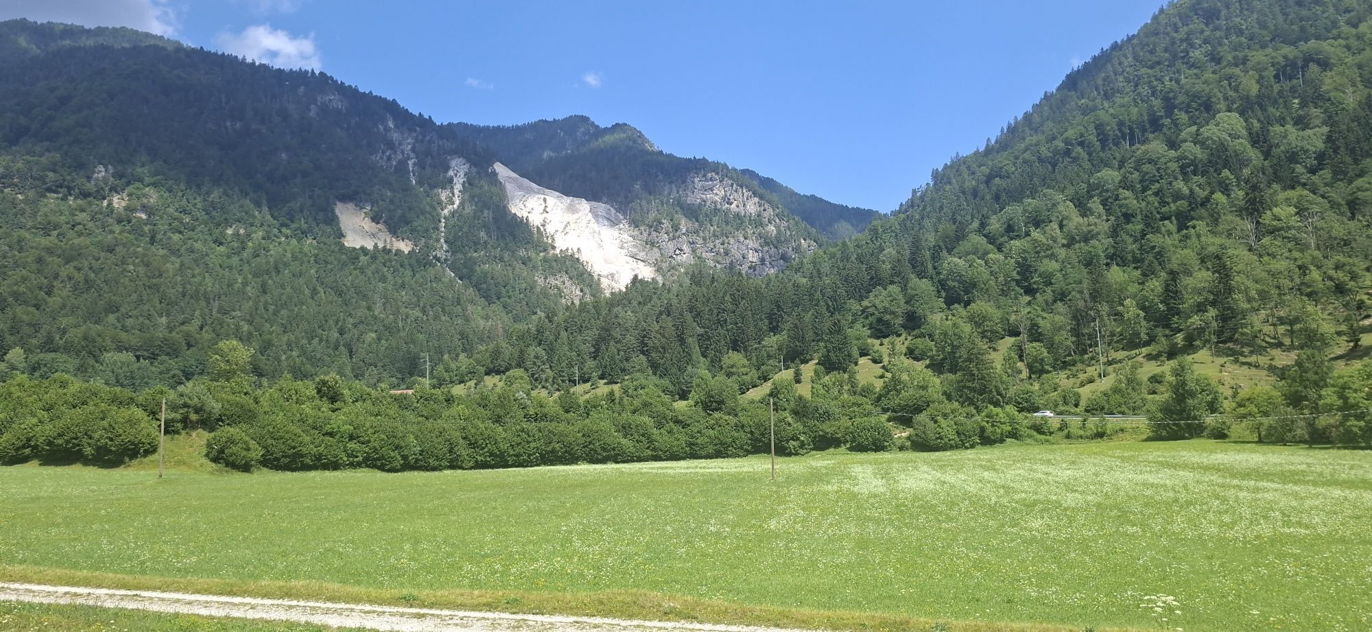
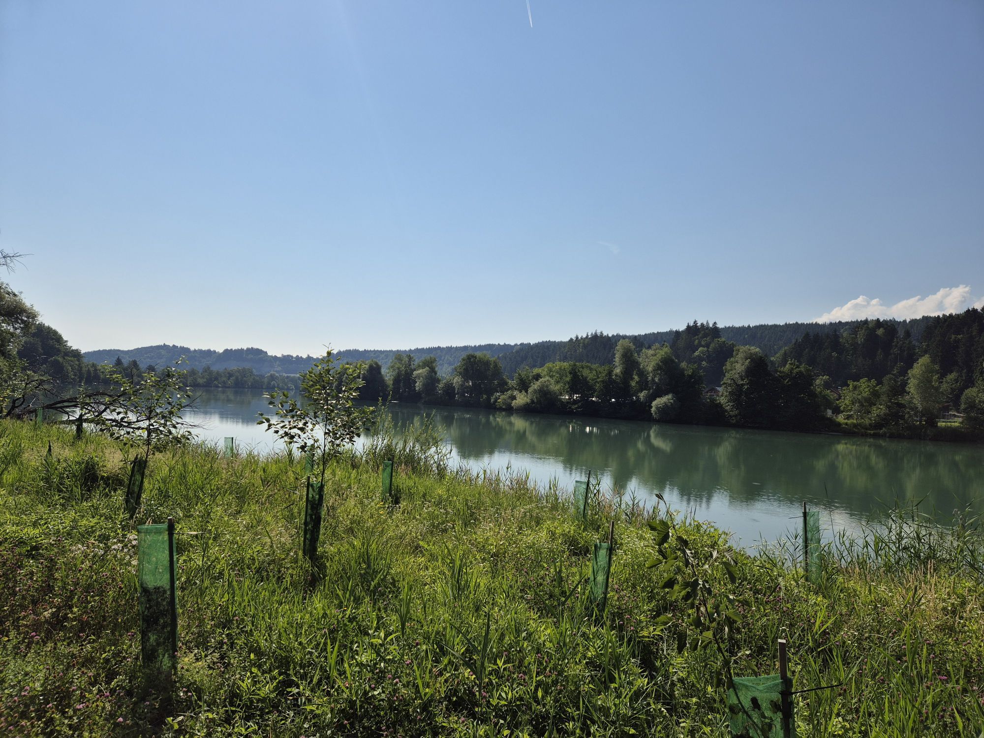
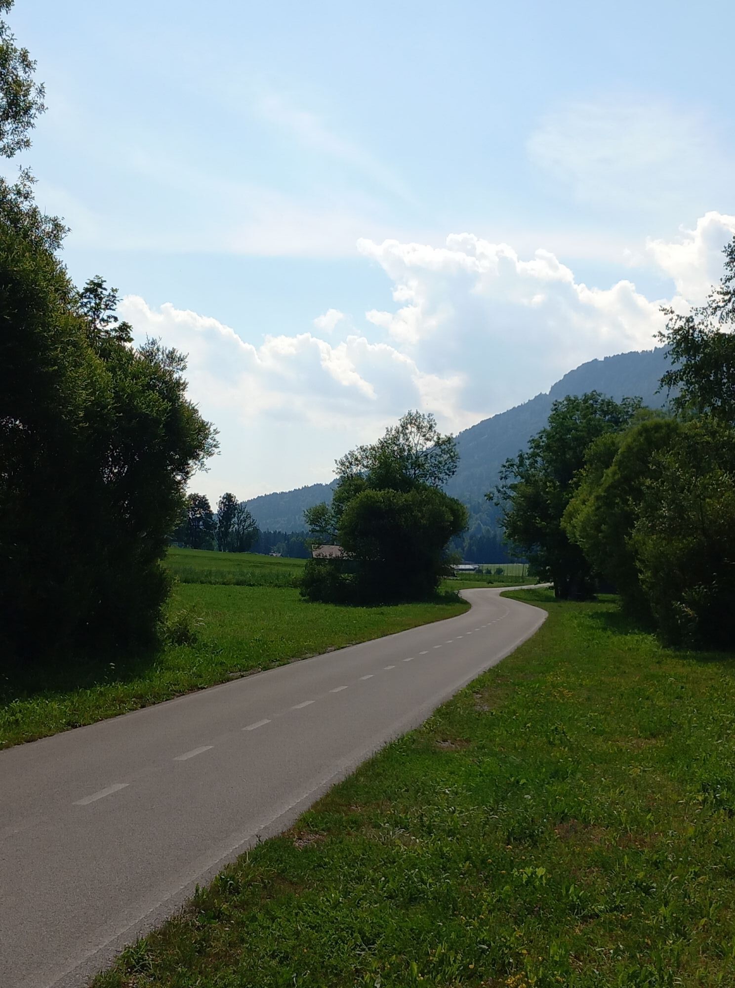
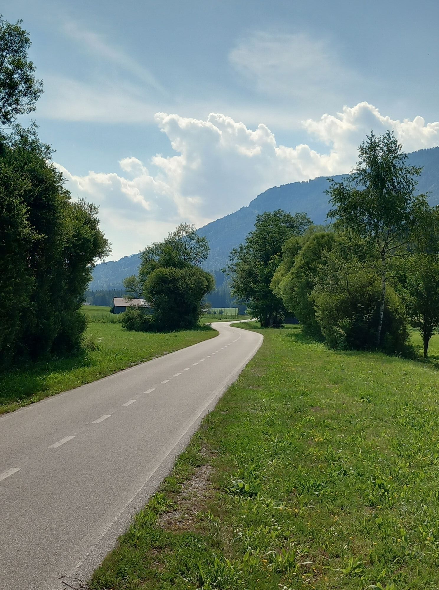
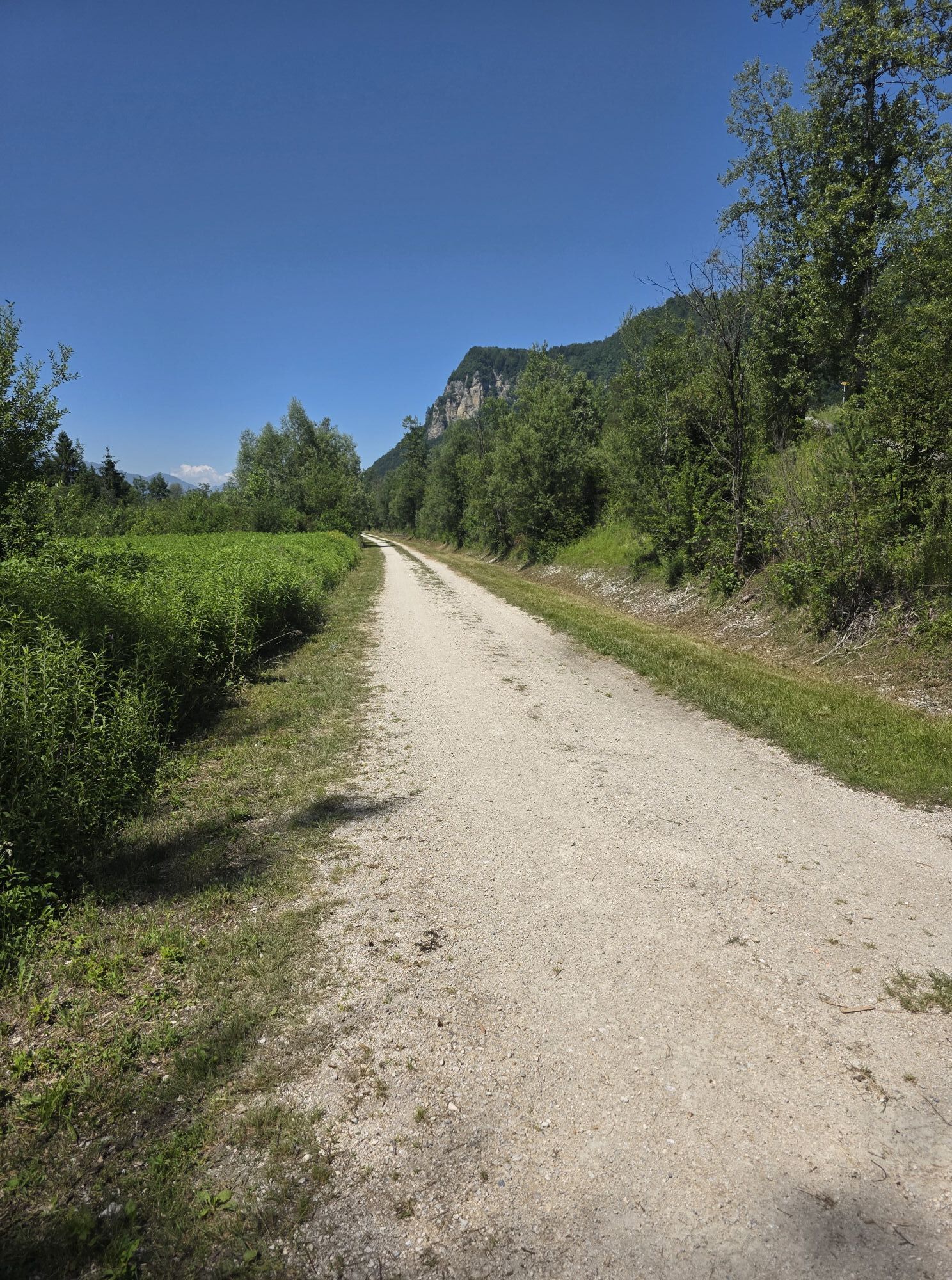
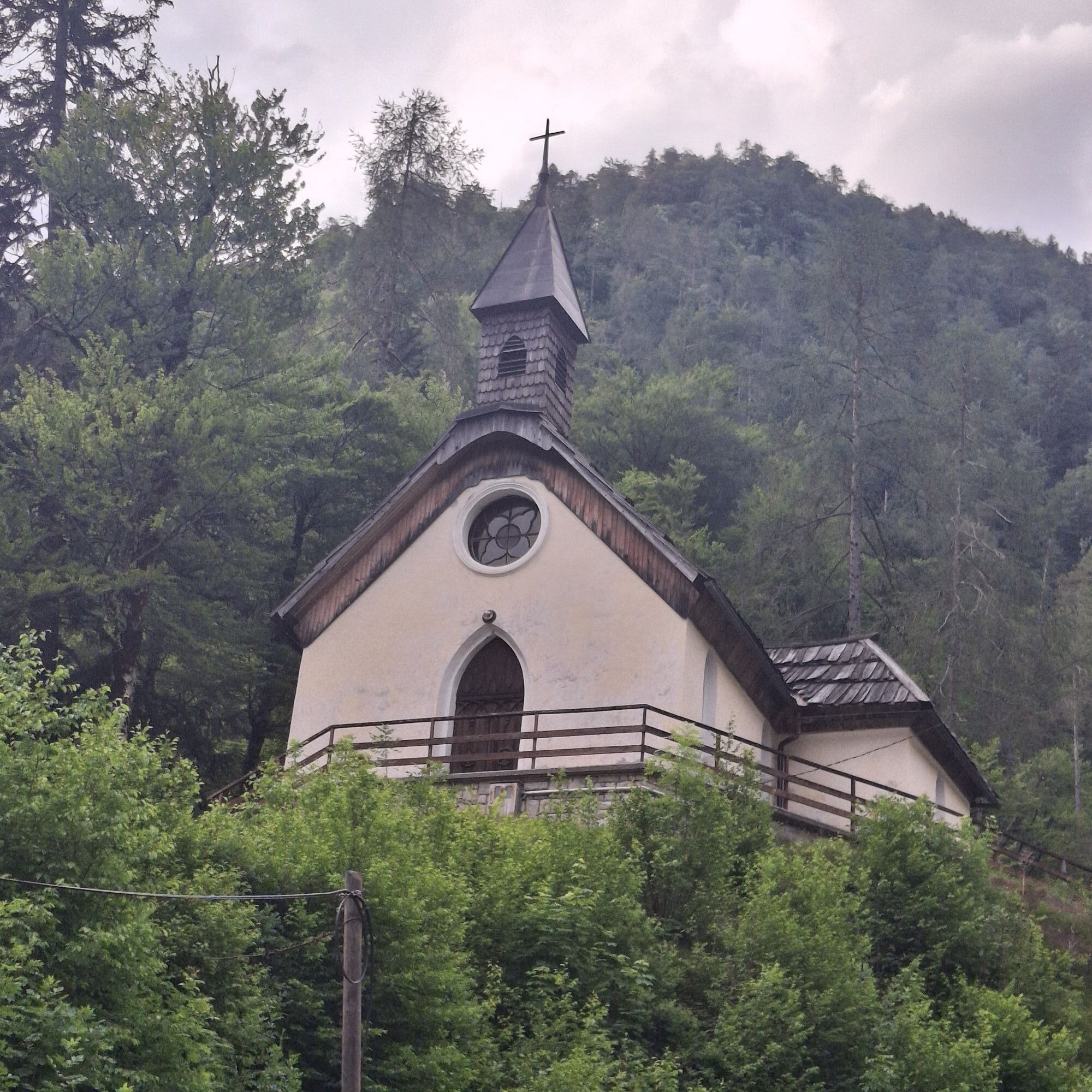
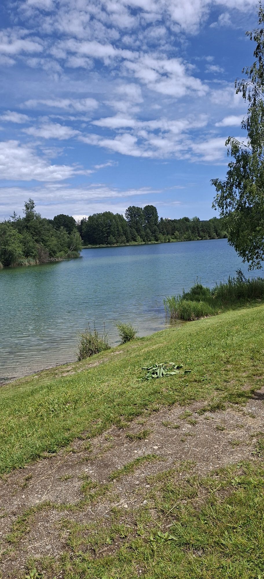
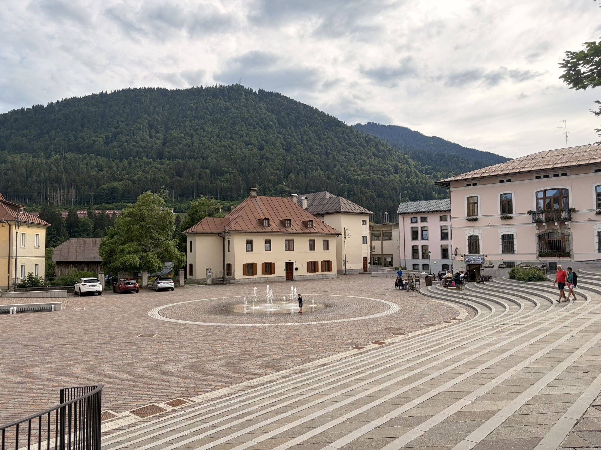
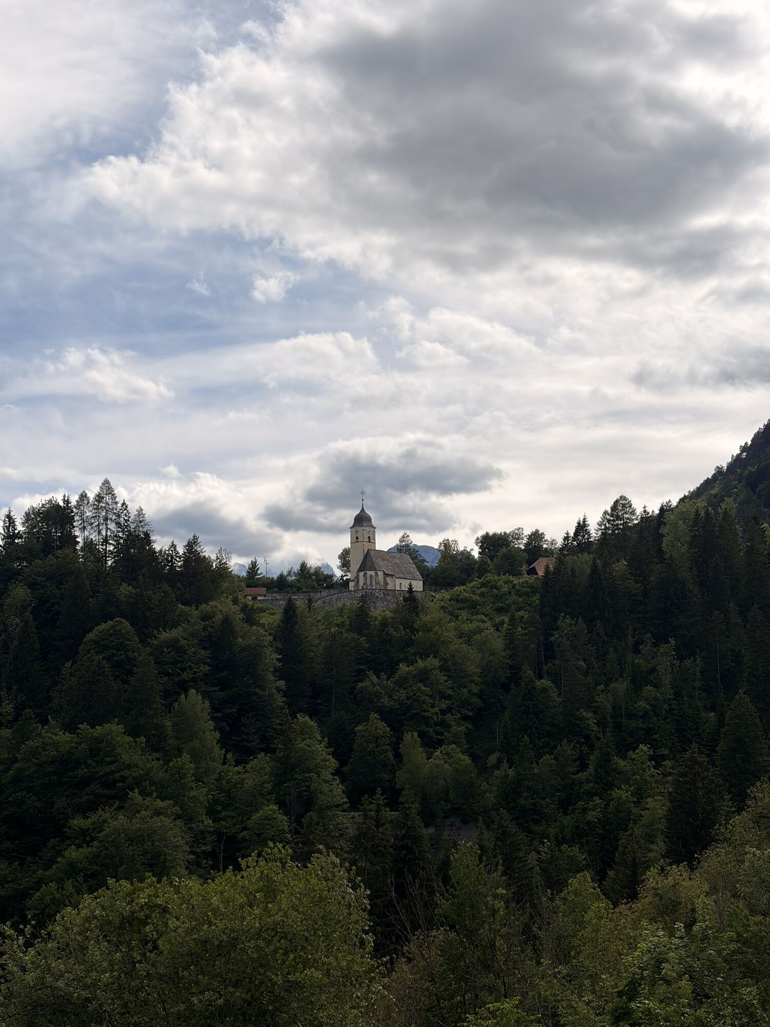
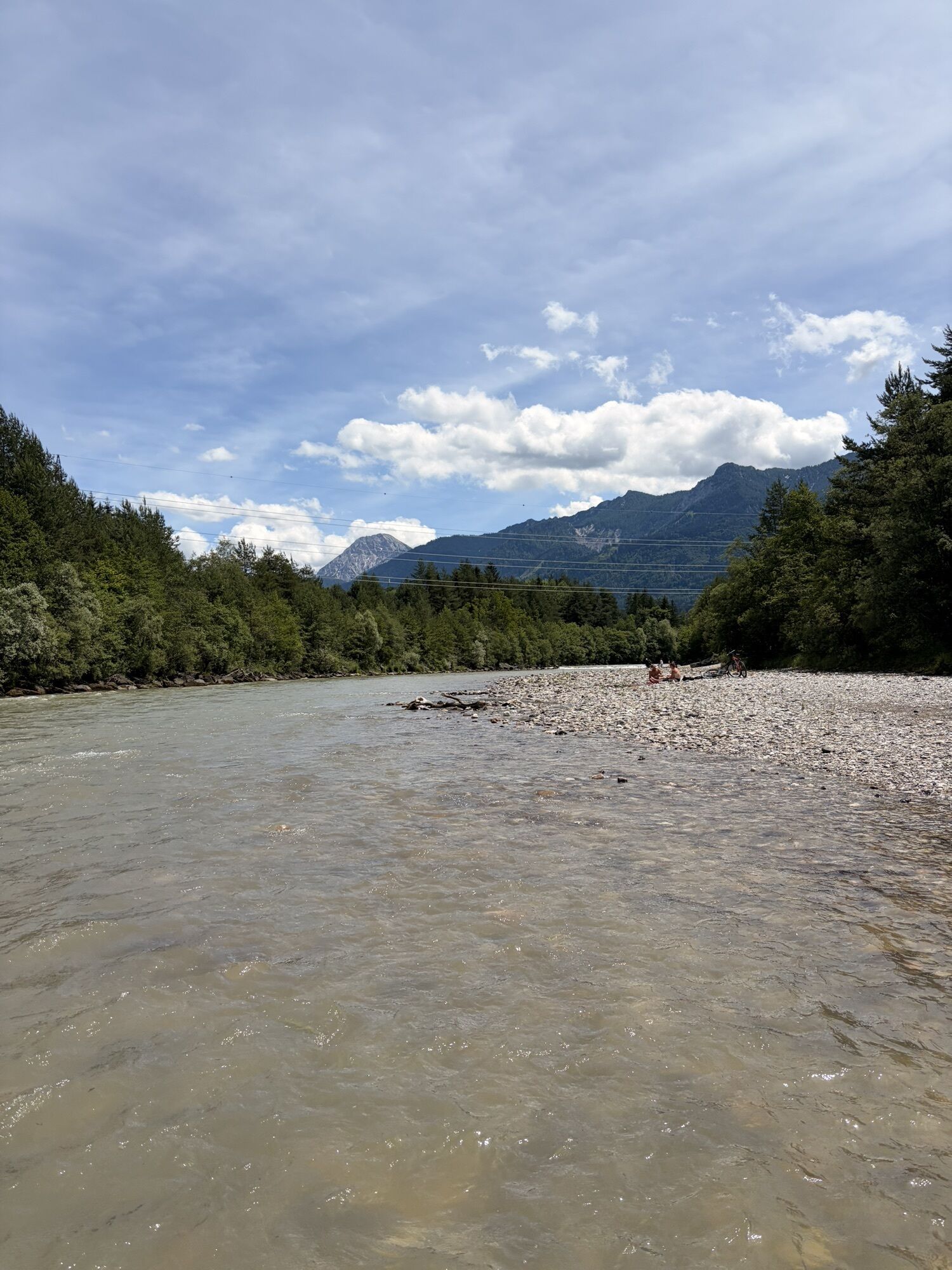
Over a total of 244 kilometers and almost 2,000 meters of elevation, you circumnavigate the mountain range connecting Austria and Slovenia.
Various cycle paths and lightly trafficked secondary roads in...
Over a total of 244 kilometers and almost 2,000 meters of elevation, you circumnavigate the mountain range connecting Austria and Slovenia.
Various cycle paths and lightly trafficked secondary roads in the border region of Austria, Slovenia, and Italy form the basis for the "Karawanken Bike Circle." Along the way, you travel along the Sava cycle path, the Ciclovia Alpe Adria, the Gail Valley cycle path, and sections of the Drauradweg, which is rated with 5 stars.
Day 1: Jesenice – Mojstrana – Kranjska Gora – RateÄe – Tarvisio – Arnoldstein
Day 2: Arnoldstein – Villach (Maria Gail) – Rosegg – St. Jakob – Feistritz im Rosental (approx. 54 km)
Day 3: Feistritz – Ferlach – Gallizien – Miklautzhof – Bad Eisenkappel (approx. 50 km)
Day 4: Železna Kapla / Bad Eisenkappel - Zgornje Jezersko – Preddvor
Day 5: Preddvor – TržiÄ – Begunje na Gorenjskem – Žirovnica – Jesenice
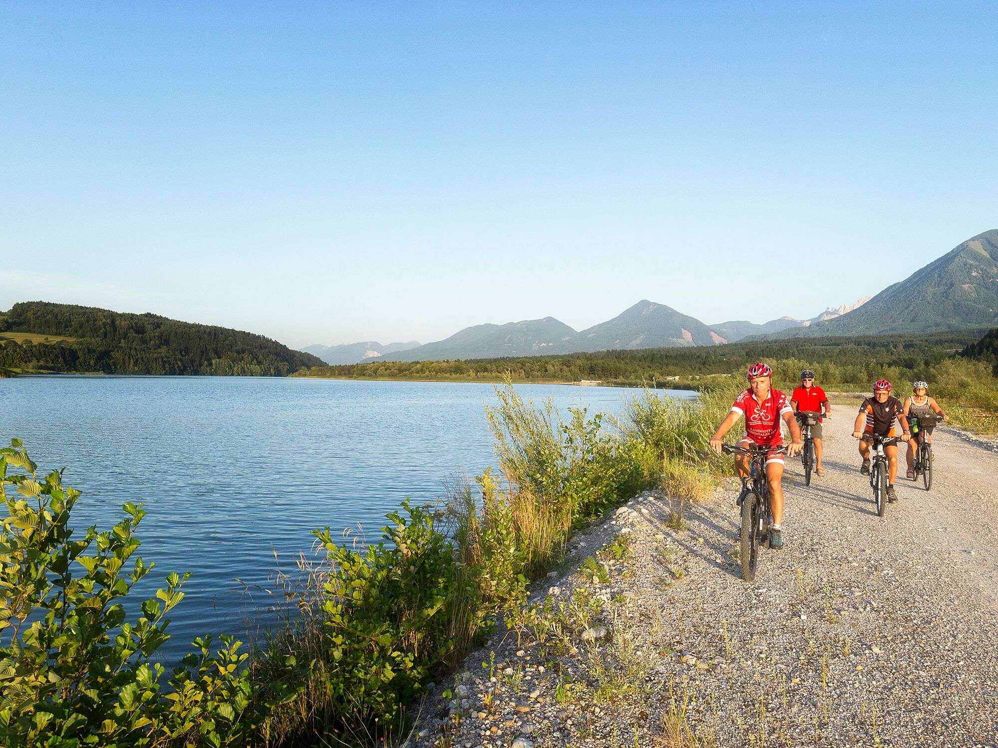

Day 1: Jesenice – Mojstrana – Kranjska Gora – RateÄe – Tarvisio – Arnoldstein
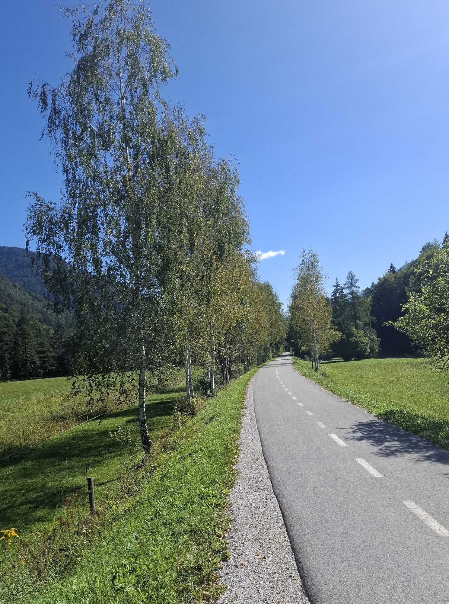
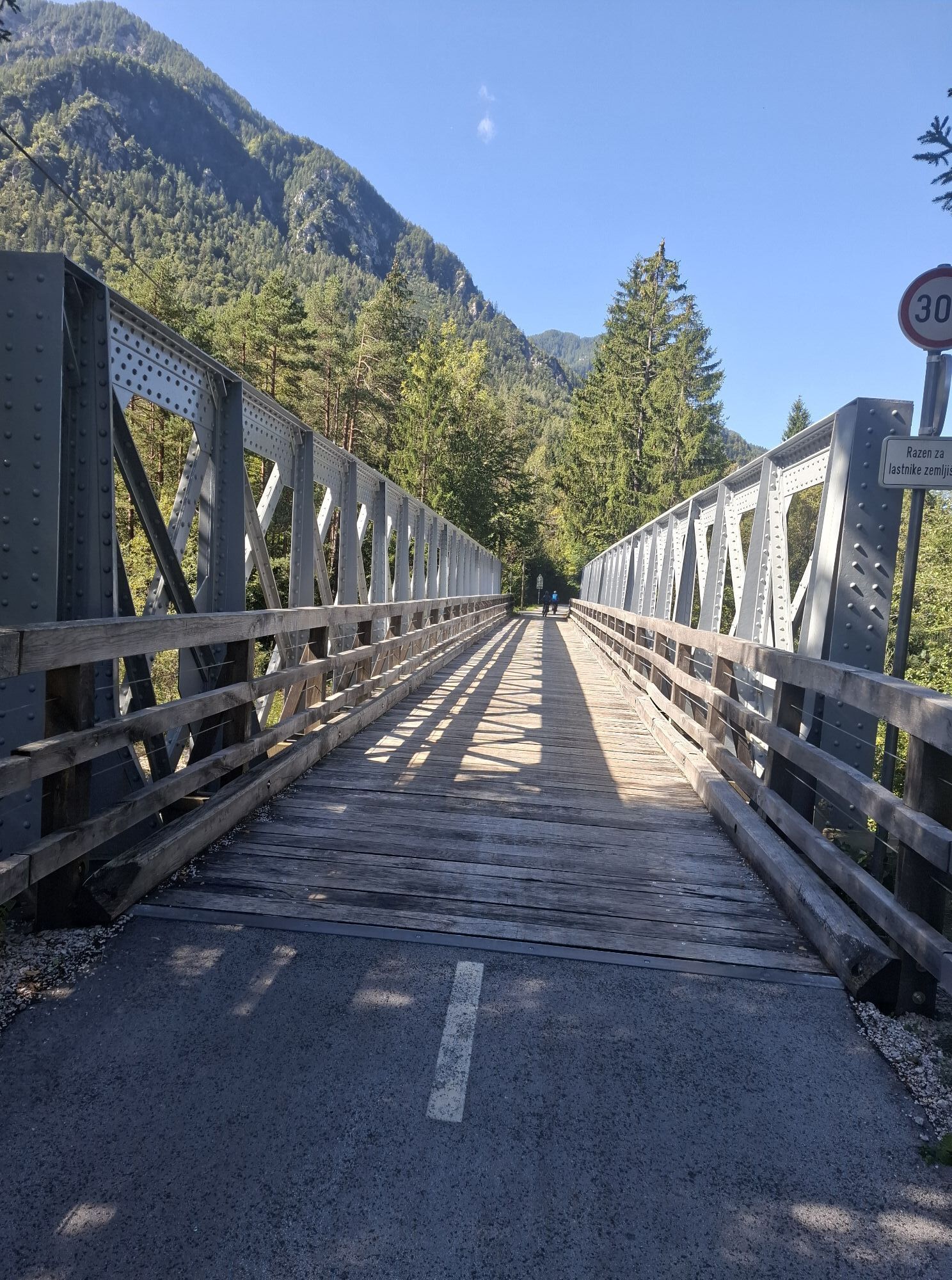
One of the more beautiful cycling routes is the Upper Sava River, which leads along the former railway line from Mojstrana through Kranjska Gora to Italy. Officially known as the Jure RobiÄ Cycling Path, it is well known as the best, most famous, and longest in Gorenjska. It is marked with the official code D-2.
It runs from Jesenice to the border crossing at RateÄe with a total length of about 28 km. From here you can continue to Italy towards Tarvisio past Žabnica to Pontebe.
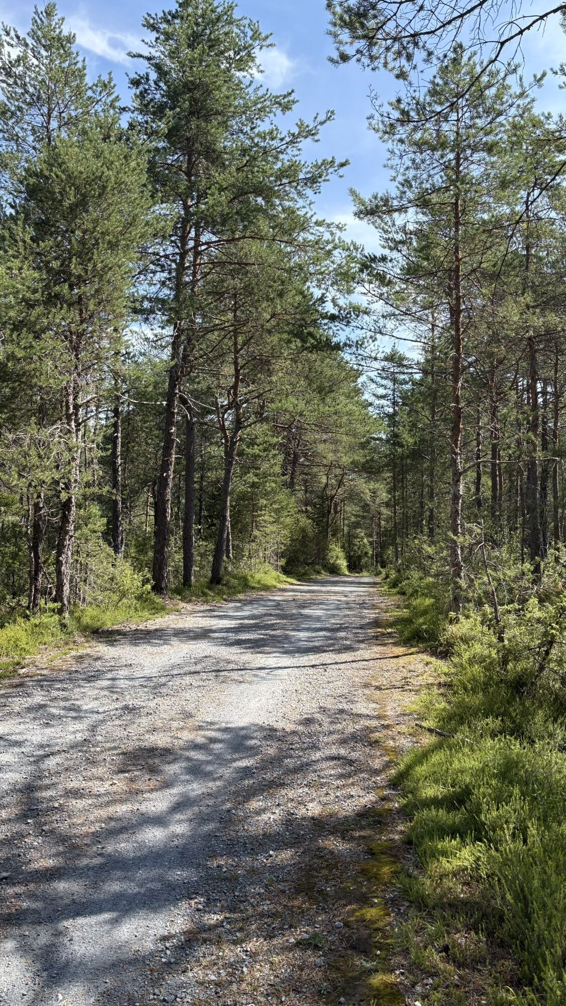
We follow an abandoned railway line, then cross at Thörl-Maglern and cycle through small villages along the Gail, on the southern side of the Villacher Alpe, and in parts also through the Dobratsch Nature Park.
Day 2: Arnoldstein – Villach (Maria Gail) – Rosegg – St. Jakob – Feistritz im Rosental (approx. 54 km)
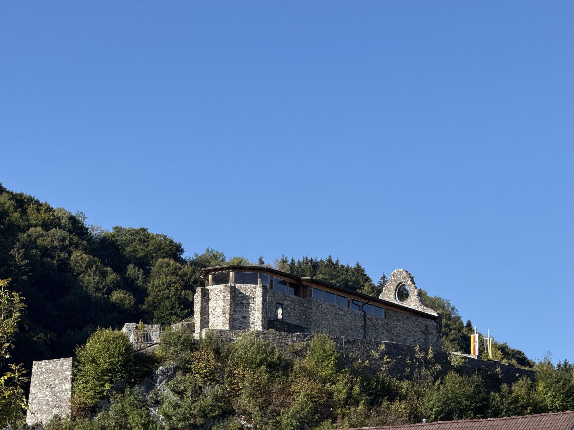
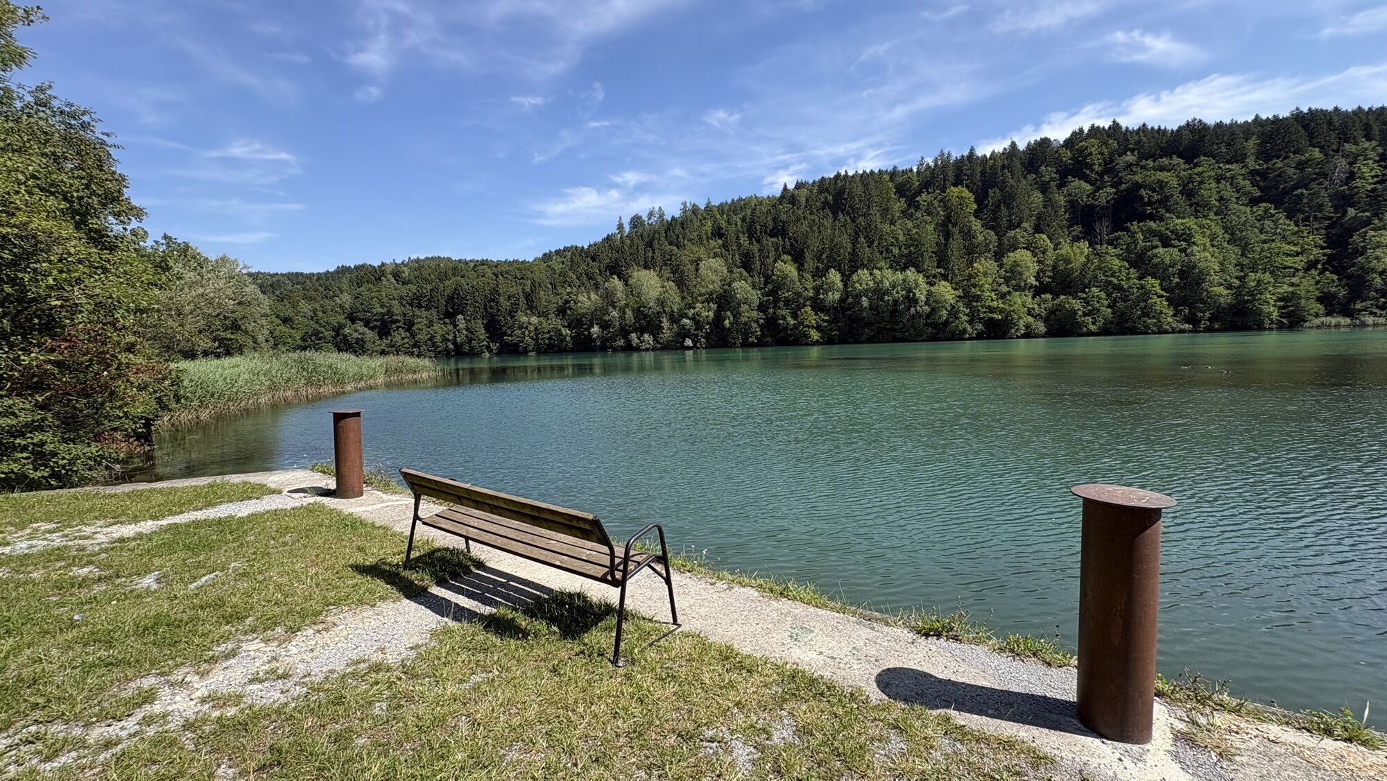
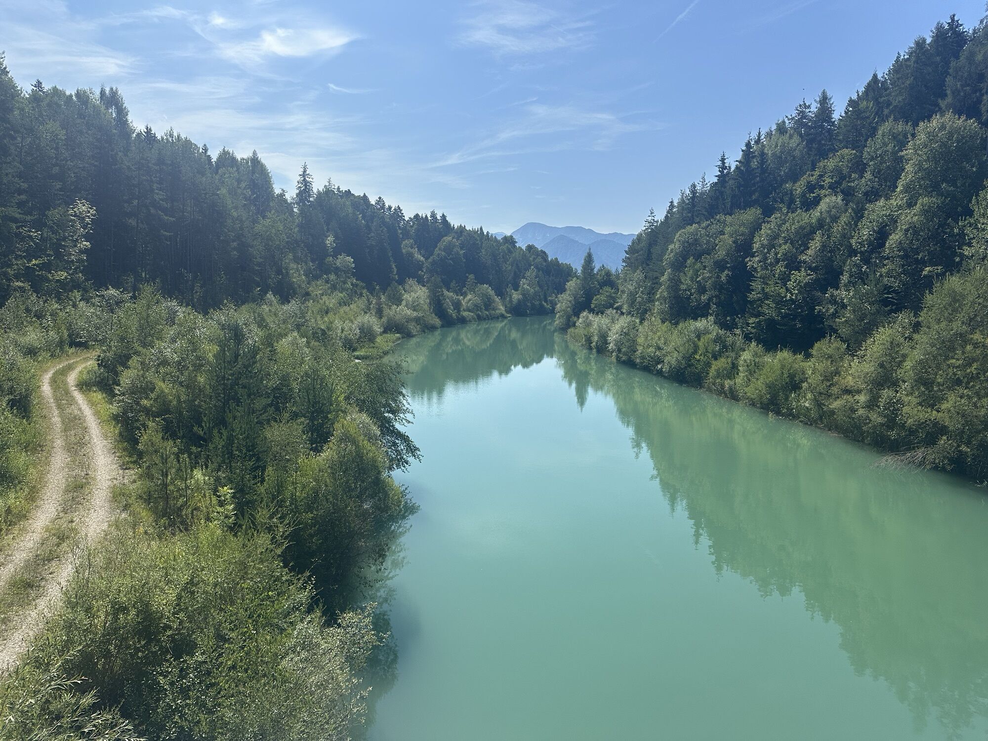
Enjoy a leisurely ride on the Ciclovia Alpe Adria cycle path from the state border towards Arnoldstein. At the foot of the corner of three countries, there are some nice places to stop for refreshments, as well as the remains of the Arnoldstein abbey and the old shot tower for a cultural stopover. Cycling along the species-rich landslide area at the foot of the Dobratsch Nature Park, you will reach Villach-Warmbad, known for its thermal baths and beautiful surroundings, without major altitude differences. A bit further along the Gail River, this cycle path joins the Award-winning 5-star Drau Cycle Path. Discover the small lake Silbersee and continue on your way to the imposing Wernberg monastery, towering above a river area home to a great number of birds. From there you can follow the Drau through many small villages until you arrive at the charming small town of Rosegg.
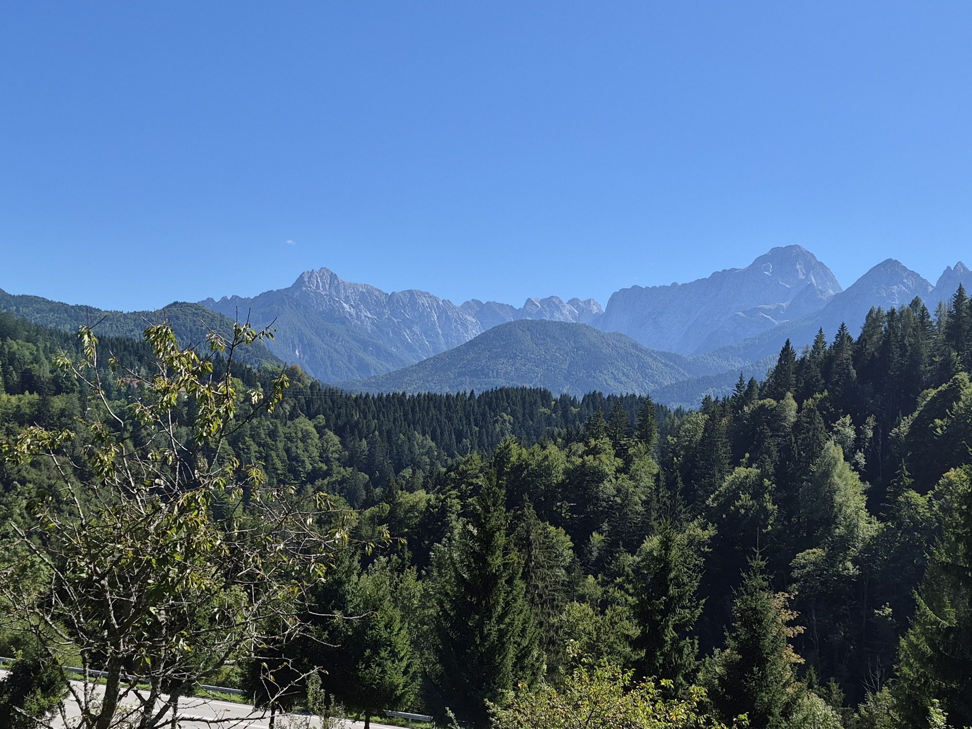
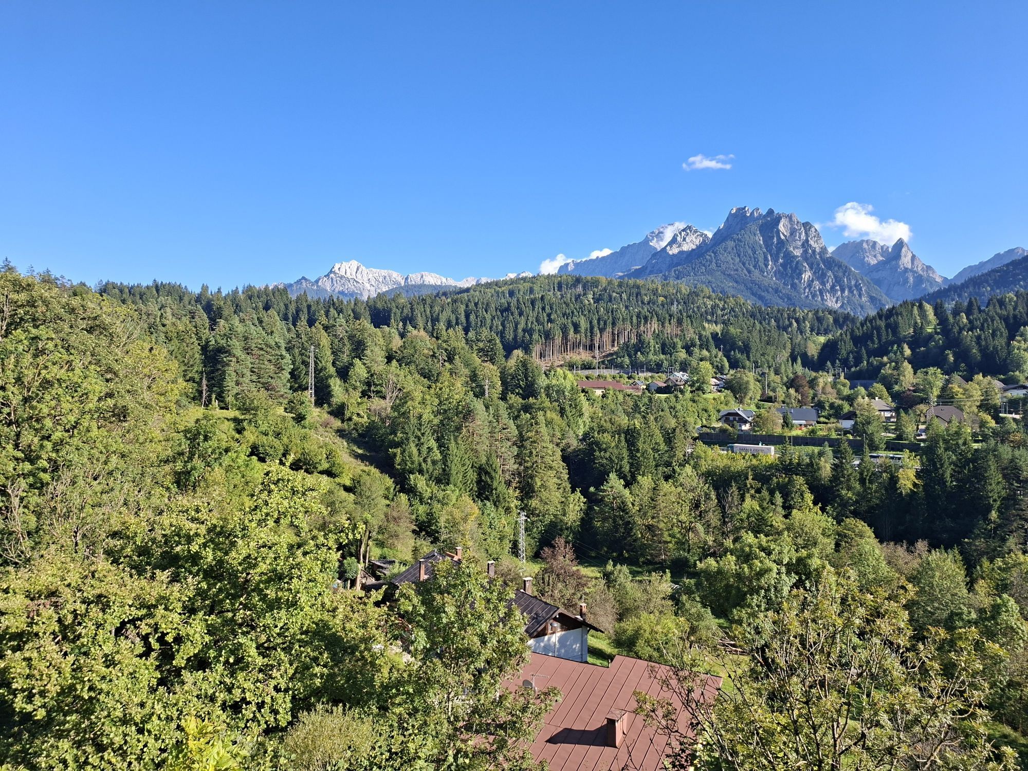
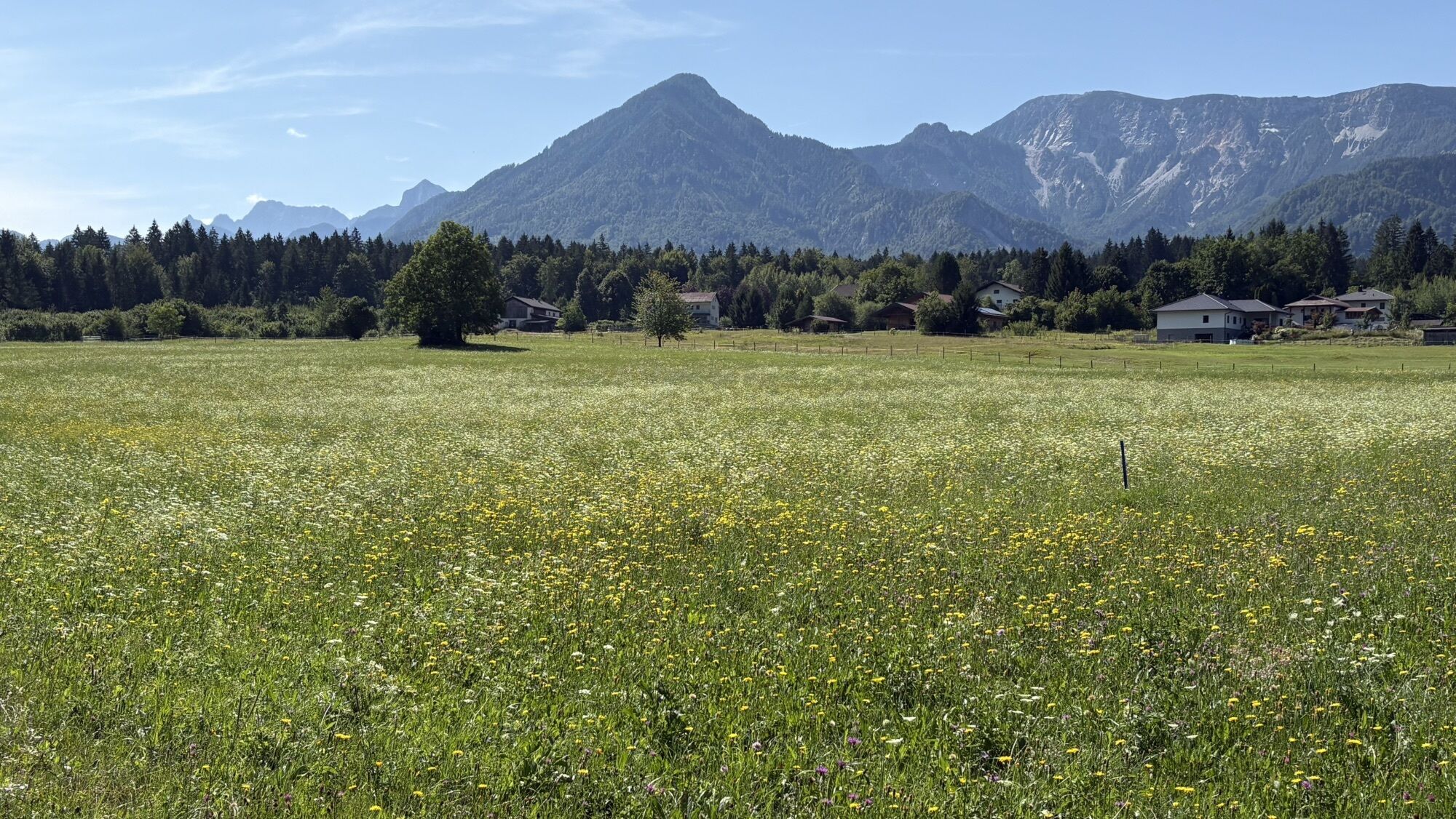
At Rosegg, you will follow the Drau River downstream eastward. Mostly along well-drivable causeways, the route leads through the enchanting Rosental valley. Beautiful views of the Karawanken mountain range and cultivated landscapes along the way provide a wonderful scenic variety. Your stage destination is the rose municipality Feistritz im Rosental.
Day 3: Feistritz – Ferlach – Gallizien – Miklautzhof – Bad Eisenkappel (approx. 50 km)
From the rose municipality Feistritz, we continue eastward along the Drauradweg. Castles and lakes line the route, with the Karawanken always in sight. Before reaching the village of Gallizien, we leave the Drauradweg and ride on less frequented roads to the village of Miklautzhof. There, we meet the bike path R1E, the Seeberg cycle path. We follow this paved bike route until
Day 4: Železna Kapla / Bad Eisenkappel - Zgornje Jezersko – Preddvor
From Železna Kapla to Zgornje Jezersko there is a bit of an ascent by bike, followed by a lot of fun downhill, first to Zgornje Jezersko and then on to Preddvor.
Day 5: Preddvor – TržiÄ - Begunje na Gorenjskem - Žirovnica – Jesenice
From Preddvor, continue cycling through picturesque scenery and villages until the town of TržiÄ, then through the countryside to Begunje na Gorenjskem and on to Žirovnica. From Žirovnica to Jesenice, you can cycle through the villages of Moste and Blejska Dobrava to Jesenice.
Many small, hidden "jewels" in the Karawanken area are waiting to be discovered by you.

Spletne kamere s turneje
-
Velden - Bootswerft Schmalzl
-
Faaker See
-
Faaker See
-
Faaker See
-
Faaker See
-
Faaker See
-
Faaker See
-
Annenheim/Ossiacher See
-
Landskron
-
Wörthersee / Saag
-
Villach - Friedensbrücke
-
Mojca 2
-
Dolenčev rut
-
Bad Eisenkappel
-
Krvavec - Bergstation 6er
-
Krvavec - Ski Resort
-
Ludmannsdorf/Bilcovs - Gasthof Ogris
-
Bled - Hotel GOLF
-
Velden - Barry Memle
-
Velden - Barry Memle
-
Obir Tropfsteinhöhle
-
Ciljna strmina Poligona
-
Dreiländereck
-
Villach
-
Köttmannsdorf - Plöschenberg
-
Radsberg
-
Velden Kurpark / Karawankenplatz
-
Strandpark Velden
-
Bucht Velden / Bootswerft Schmalzl
-
Triglav - Kredarica
-
Ferlach
-
Hotel Post Wrann
-
Faaker See / Grüner Heinrich
-
Krvavec
-
Krvavec
-
Falkensteiner Schlosshotel Velden
-
Planica - Nordic Center
-
Jezersko
-
Villacher Alpenstraße - Rosstratte
-
Faaker See / Haus am See

Priljubljeni izleti v okolici
-
4.2
MTB-Tour zur Klagenfurter Hütte
srednjaMountainbike 12.6 km -
3.9
Tscheppaschlucht Ferlach
svetlobaPohodništvo 5.90 km -
4.8
Through the Tscheppaschlucht into the Loibltal
srednjaPohodništvo 4.58 km -
4.7
Srčna pot okrog blejskega jezera
srednjaTematska pot 5.93 km -
4.6
Slow Trail Meerauge
svetlobaPohodništvo 5.25 km -
4.4
From Bärental to the Kosiak (Klagenfurter Hut)
srednjaPohodništvo 9.67 km -
4.3
Through the Tscheppa Gorge to Bodental
srednjaPohodništvo 10.6 km -
4.6
Sinacher Gupf crossing
srednjaPohodništvo 8.32 km -
4.7
Ogrisalm ab Bodenbauer, Kärnten/Österreich
svetlobaSmučarska tura 11.2 km -
4.1
Über den Bärensattel auf den Hochstuhl
težkoPohodništvo 17.2 km
Pohodništvo in sledenje


Ne zamudite ponudb in navdiha za naslednje počitnice
Vaš e-poštni naslov je bil dodan na poštni seznam.





