







Samnaun-Ravaisch – Foppaziner Eck (W5)
Stopnja težavnosti: 2
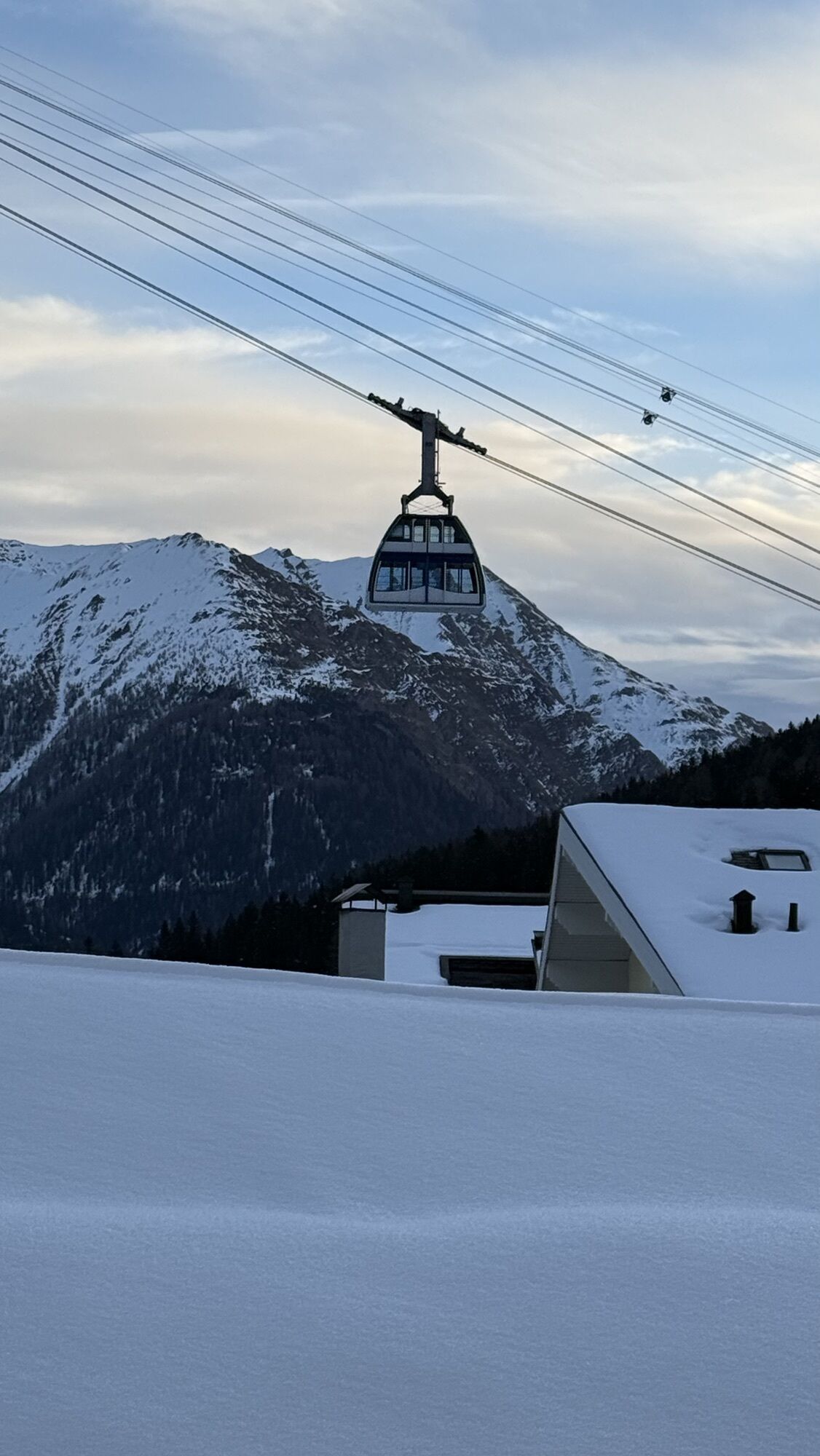
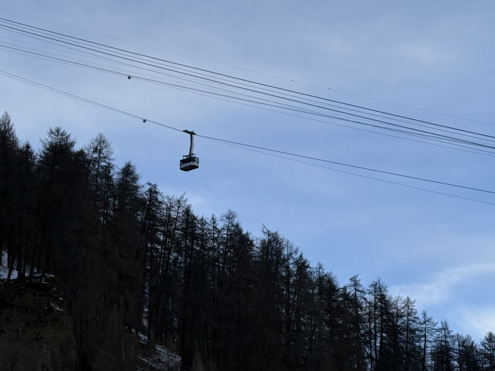
The starting point is the bus stop at the Ravaisch junction. Follow the road to the Sonnenhotel Soldanella-Sonneck in Samnaun-Ravaisch. From there head towards Chè d’Mot, past a water reservoir to the...
The starting point is the bus stop at the Ravaisch junction. Follow the road to the Sonnenhotel Soldanella-Sonneck in Samnaun-Ravaisch. From there head towards Chè d’Mot, past a water reservoir to the Foppaziner Eck (1925 m above sea level). This side of the valley is a popular resting place for ibex and chamois, which like to stay here in winter. The walking time is about 30 minutes. Return the same way to the valley.

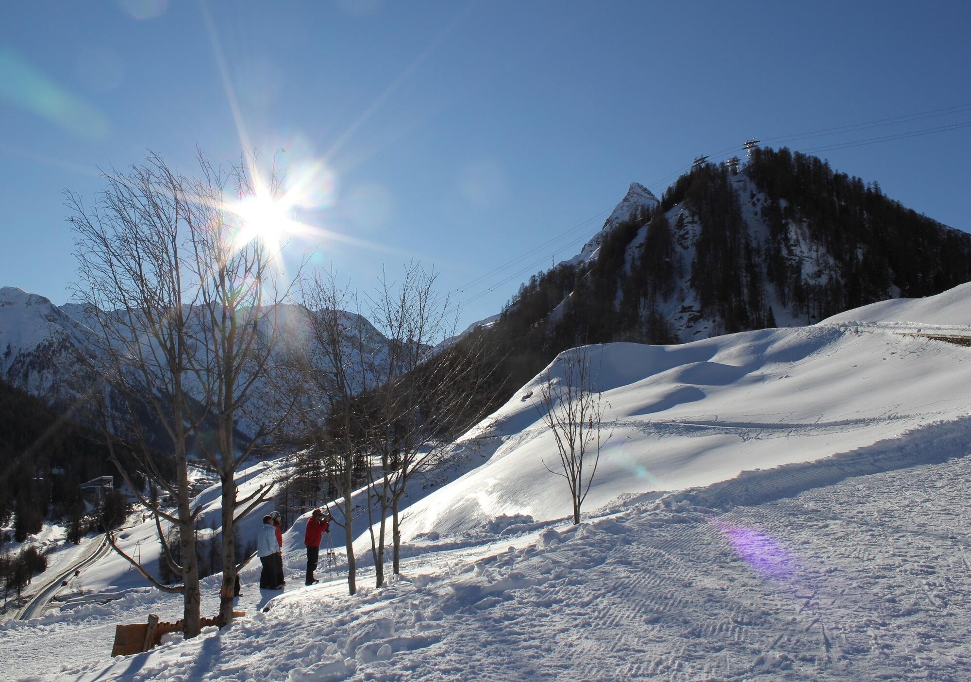
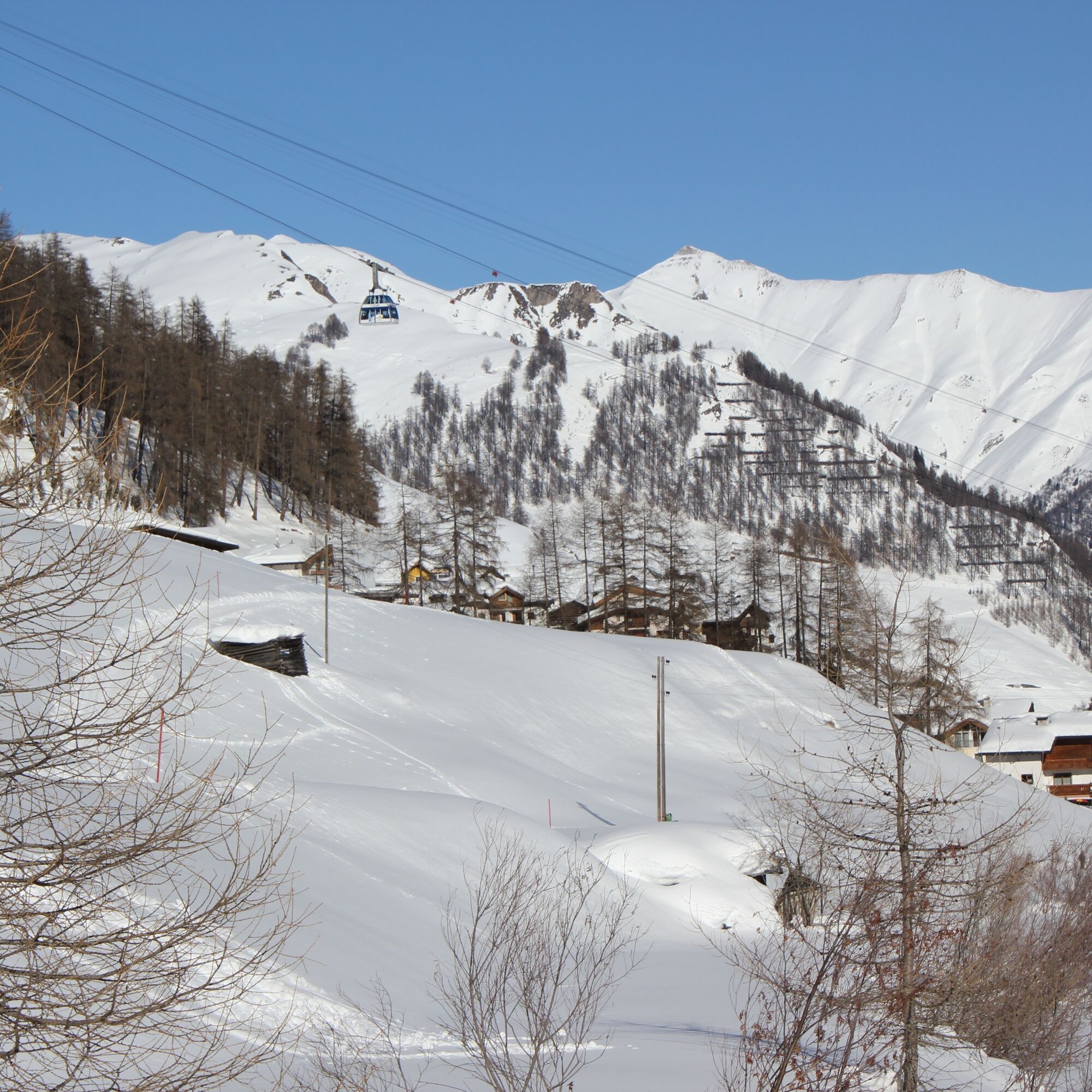

From the PostAuto stop Samnaun-Ravaisch junction to the Sonnenhotel
Towards Chè d'Mot past the water reservoir
Along the Ravaischa to the Foppaziner Eck
Return the same way
Da
High and sturdy hiking boots or winter boots, warm clothing, sunscreen, sunglasses, sun protection, hiking poles.
The path is prepared after every snowfall. Please observe the messages in the status report. The route was rated under favorable weather conditions; current snow and weather conditions must be checked before starting.
Emergency numbers:
144 Emergency call, first aid
1414 Mountain rescue REGA
112 International emergency call
From the north: via Landquart – Klosters by car shuttle through the Vereina Tunnel (Selfranga - Sagliains). Then on H27 via Scuol and Martina to Vinadi. At the Vinadi junction to Samnaun (about 1 hour from Vereina South Portal)
From the east: via the Inn Valley road B180 via Landeck to Pfunds, Kajetansbrücke junction and via Spiss to Samnaun.
From the south: via Reschen Pass (Nauders) on B180 to Pfunds, Kajetansbrücke junction and via Spiss to Samnaun.
Please note: When traveling to Samnaun, you need a valid travel document (passport, ID), as you must pass customs in Martina or Spissermühle.
With the Rhaetian Railway (from Chur, Landquart/Prättigau or from Upper Engadin) hourly to Scuol-Tarasp station
Hourly connections with PostAuto, line 921 to Samnaun Ravaisch
Free parking at the mountain railways in Samnaun-Ravaisch
2
Pridobite vpogled
Vedno v živo na mestu z več kot 9.500 spletnimi kamerami. bergfex Kot uporabnik Pro si lahko zdaj ogledate ustrezne spletne kamere za številne izlete v aplikaciji izleti iz. Tako si lahko neposredno ogledate trenutne razmere.
Priljubljeni izleti v okolici
-
4.2
St Anton zur Darmstädter Hütte
težkoMountainbike 28.4 km -
5.0
Menta Alm - Scheibenalm
svetlobaPohodništvo 11.4 km -
5.0
Rundwanderung Berglisee, Mathon
težkoPohodništvo 11.1 km -
4.5
Sonnenkogel - Friedrichshafener lodge
srednjaPohodništvo 13.2 km -
5.0
Kappl, Diasbahn Bergstation, Niederelbehütte, Diasbahn, Österreich
srednjaPohodništvo 10.1 km -
5.0
Samnaun Dorf – Muttler
težkoPohodništvo 14.8 km -
4.7
Around Flimspitz from Alptrider Saddle
srednjaPohodništvo 8.57 km -
3.6
Bergstation Silvretta nach Patznauener Taja
svetlobaPohodništvo 11.6 km -
4.6
Furgler über Tieftalsee
srednjaPohodništvo 3.97 km -
4.0
Lazid-Hexenseehütte
srednjaPohodništvo 14.6 km

Pohodništvo in sledenje


Ne zamudite ponudb in navdiha za naslednje počitnice
Vaš e-poštni naslov je bil dodan na poštni seznam.





