


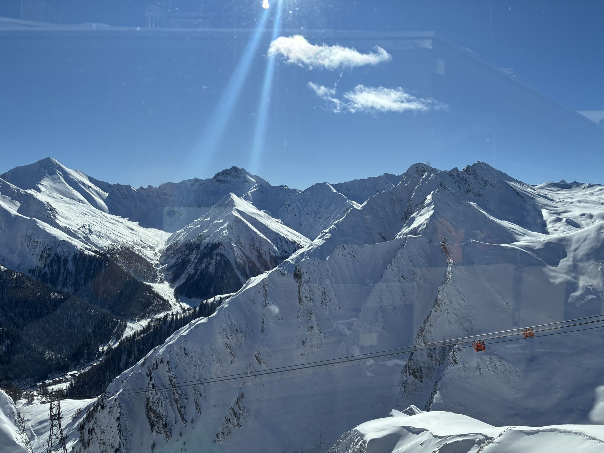
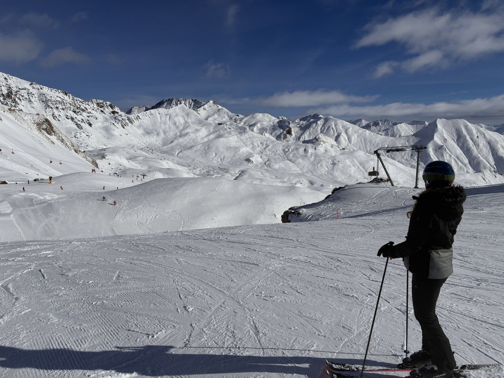
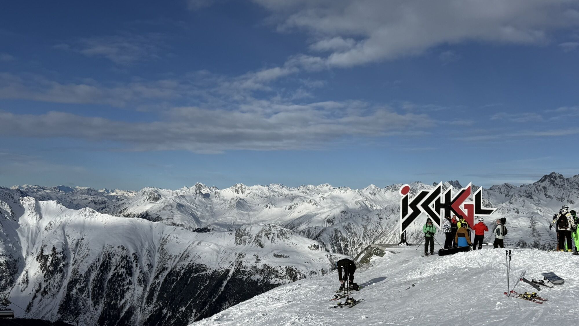
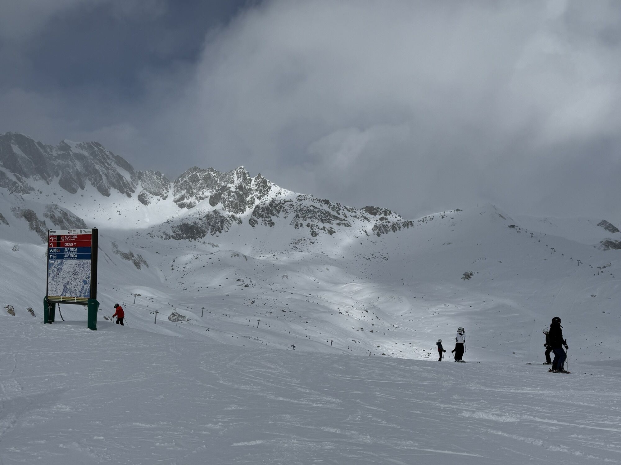
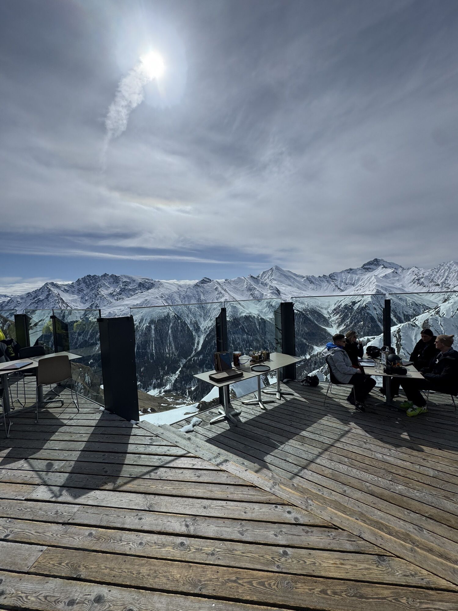
Around the Flimspitz from Alptrider Sattel
Fotografije naših uporabnikov

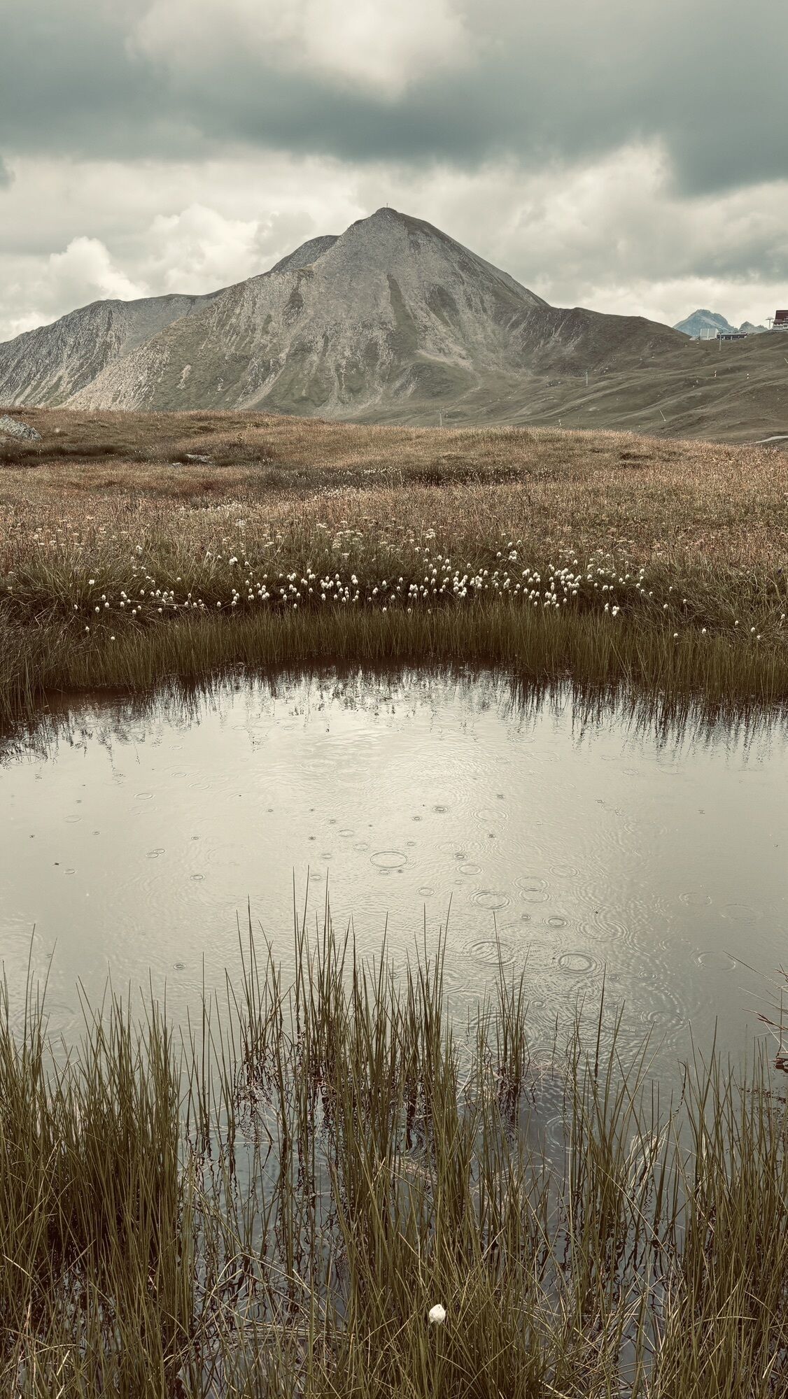
 © debonzUstvarjeno na 09.10.2025
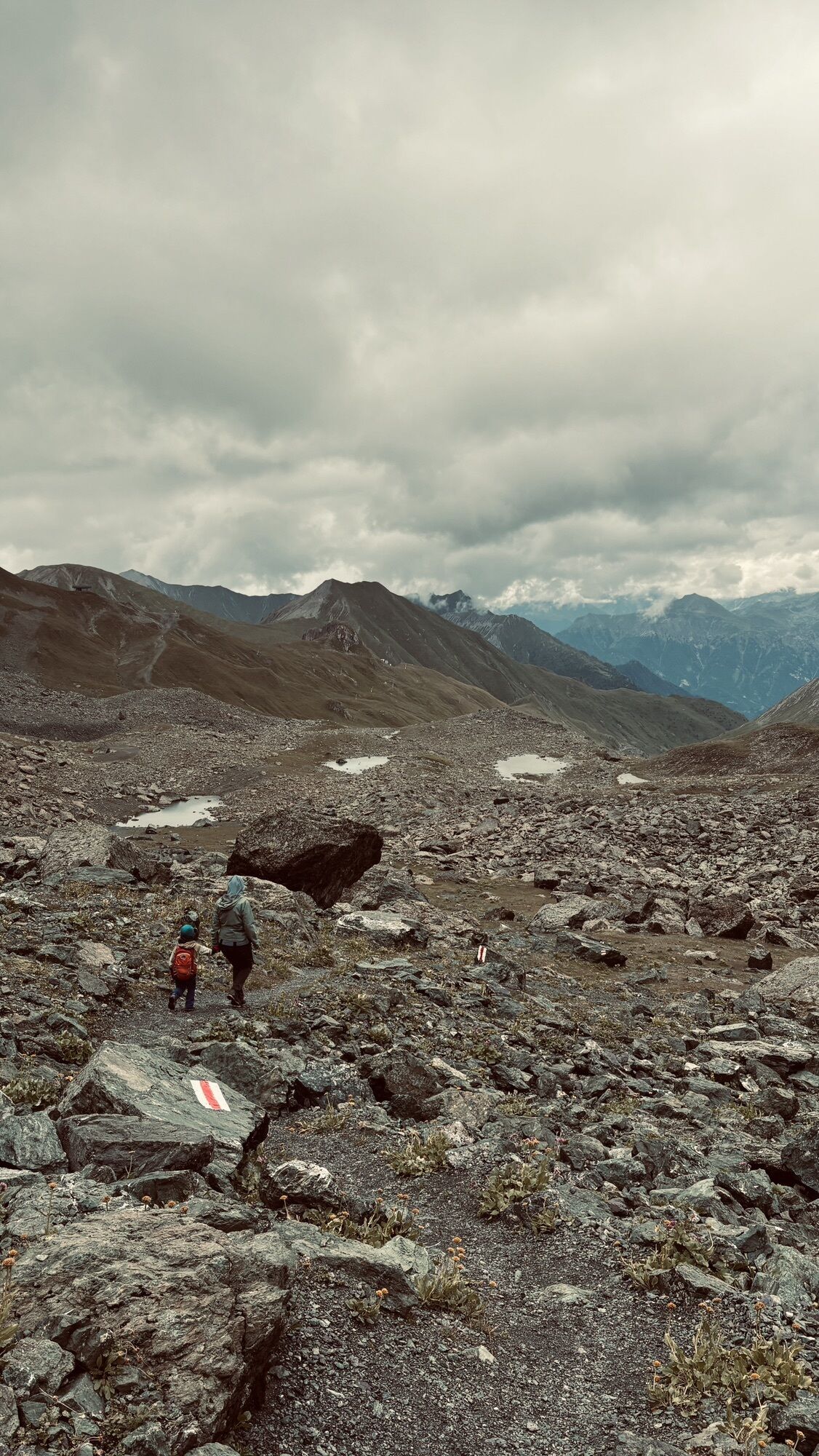
 © Andreas am RiesbergUstvarjeno na 18.08.2025
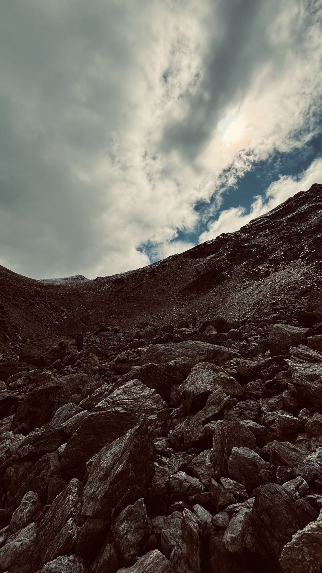
 © Andreas am RiesbergUstvarjeno na 18.08.2025
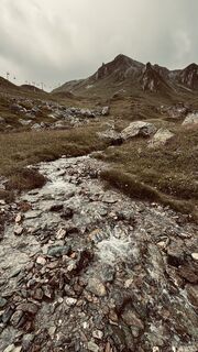
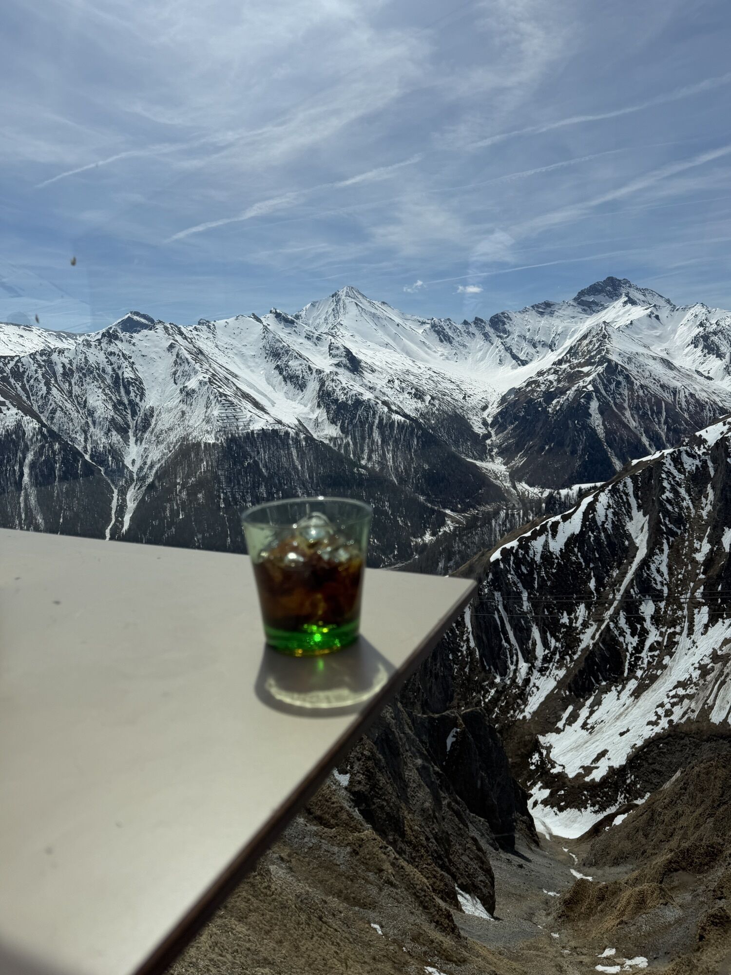
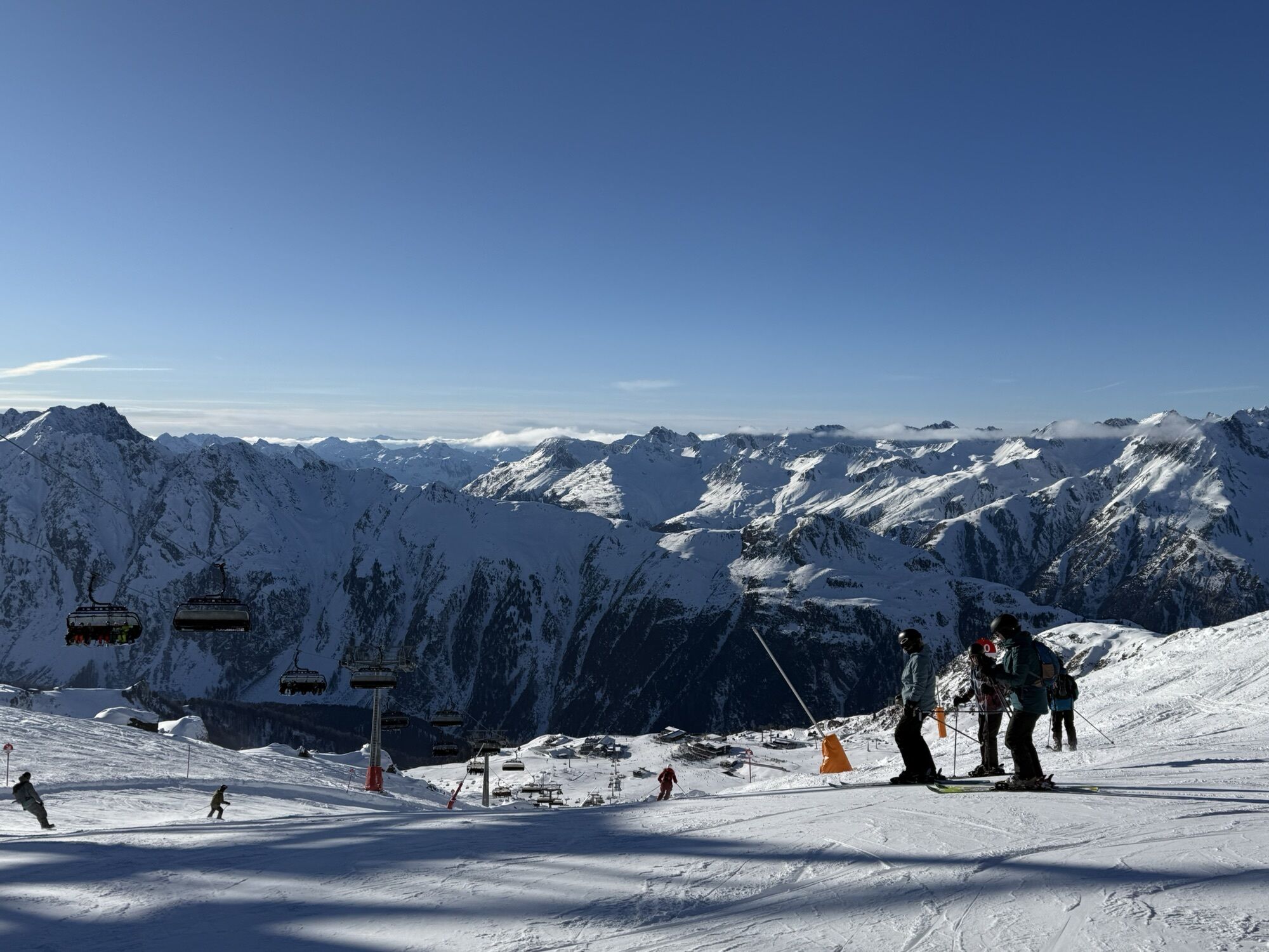
 © stevenvangoolUstvarjeno na 03.08.2025
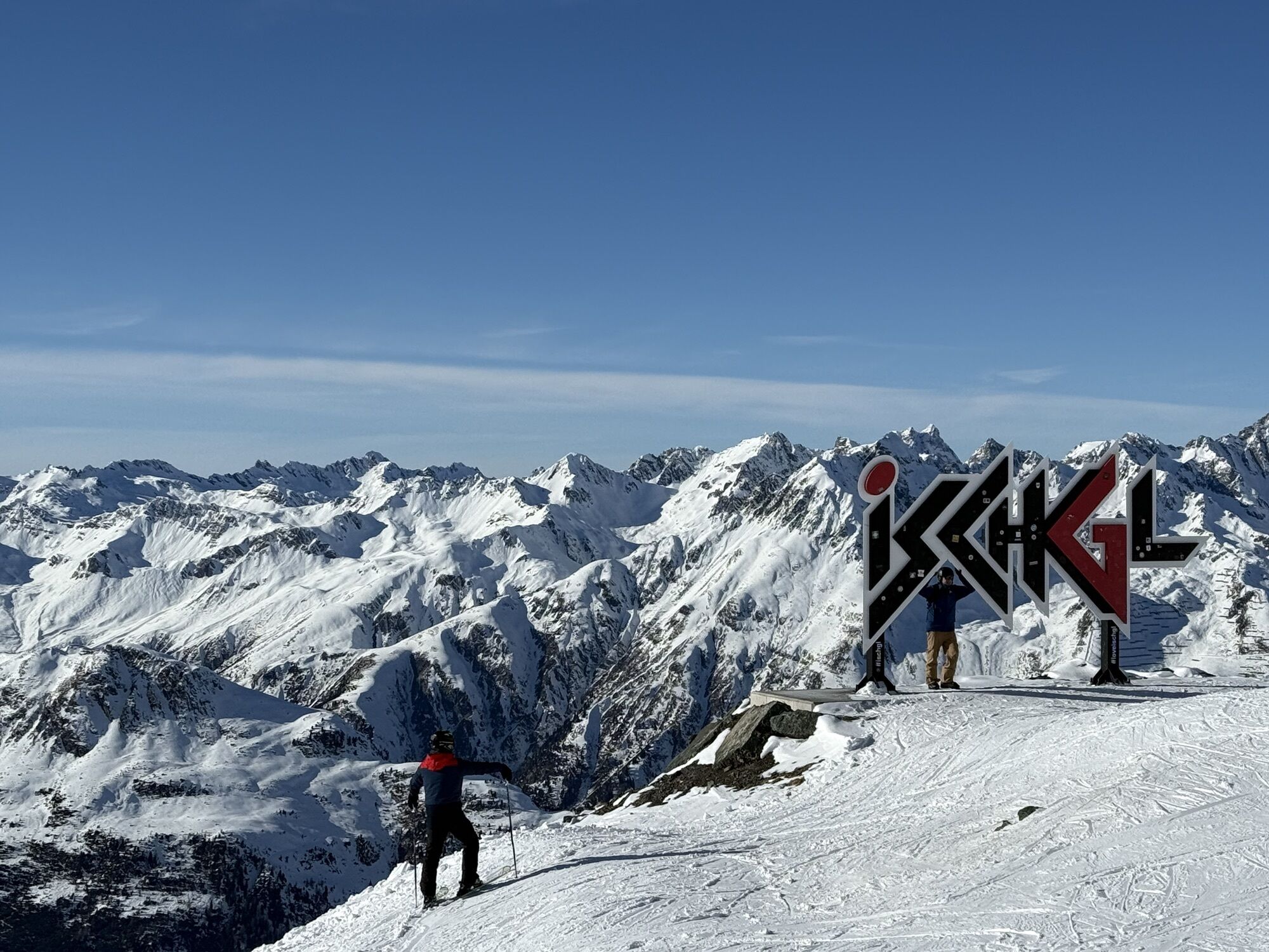
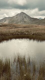 © stevenvangoolUstvarjeno na 03.08.2025
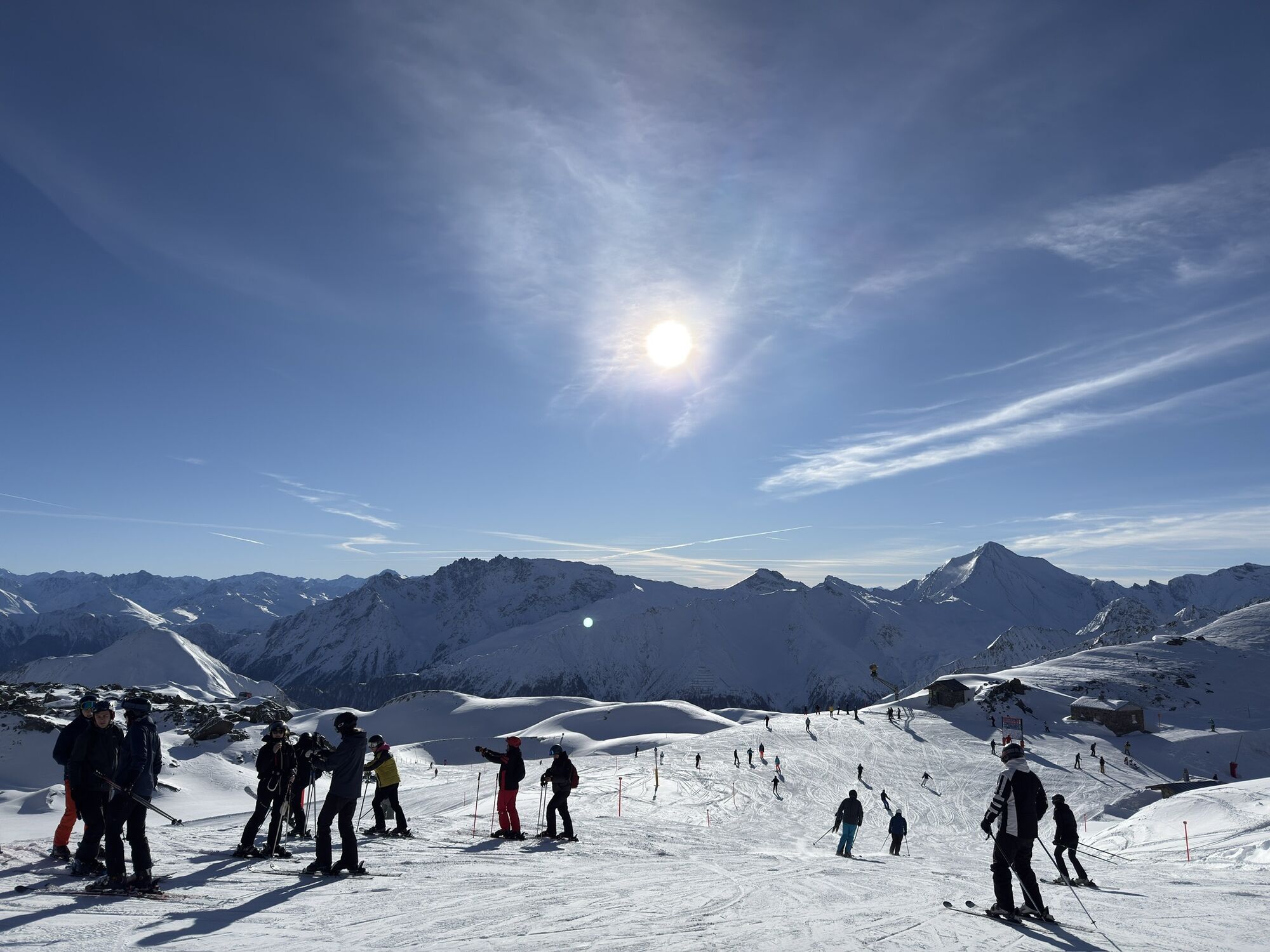
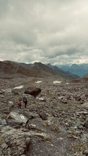 © stevenvangoolUstvarjeno na 03.08.2025
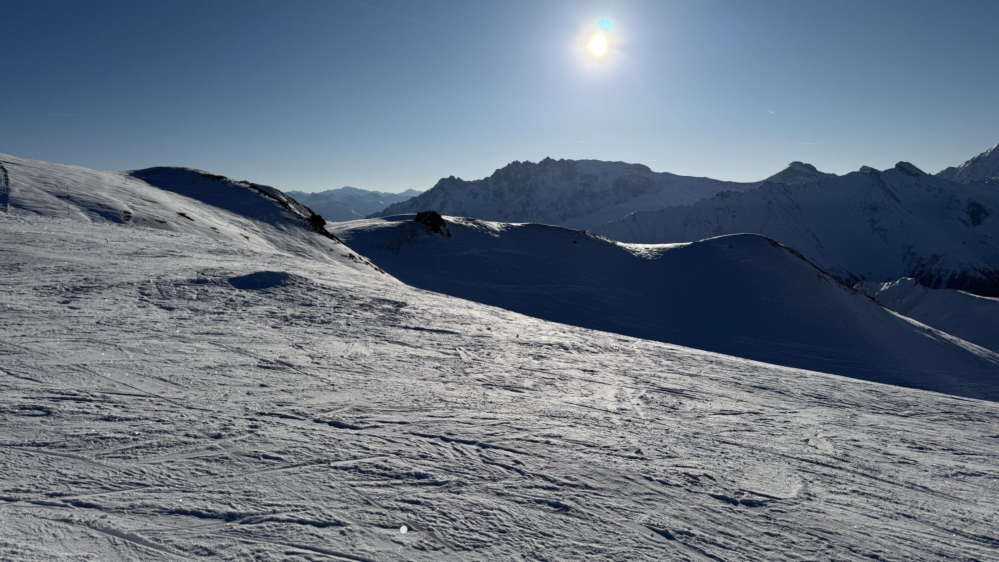
 © stevenvangoolUstvarjeno na 03.08.2025
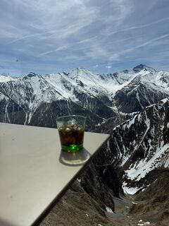
 © Ali MatarUstvarjeno na 18.04.2026
 © Markus SchauwienoldUstvarjeno na 06.04.2026
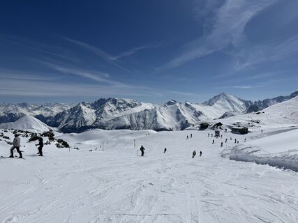 © ASUstvarjeno na 28.03.2026
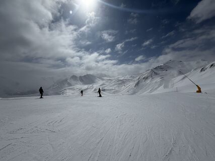 © Jelle BoekhoornUstvarjeno na 27.03.2026
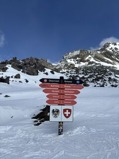 © Lucia CarrilloUstvarjeno na 22.03.2026
 © Leo GerspacherUstvarjeno na 10.03.2026
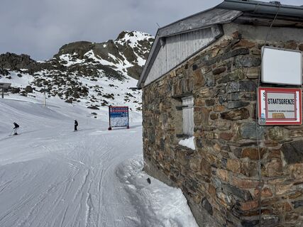
 © Stefan GunkelUstvarjeno na 09.03.2026
 © Andreas PfefferUstvarjeno na 03.03.2026
 © Karla GrychtolUstvarjeno na 22.02.2026
 © Merlin55435Ustvarjeno na 15.02.2026
 © Merlin55435Ustvarjeno na 15.02.2026
 © Merlin55435Ustvarjeno na 13.02.2026
 © Rico HeidenreichUstvarjeno na 07.02.2026
 © Vivien KloseUstvarjeno na 03.02.2026
 © Vivien KloseUstvarjeno na 02.02.2026
 © Vivien KloseUstvarjeno na 01.02.2026
 © Vivien KloseUstvarjeno na 31.01.2026
 © Lucas SelmerUstvarjeno na 27.01.2026
 © Martin WiethoffUstvarjeno na 21.01.2026
 © Martin WiethoffUstvarjeno na 21.01.2026
 © Martin WiethoffUstvarjeno na 21.01.2026
 © Martin WiethoffUstvarjeno na 21.01.2026
 © Denis Milcarek-SchossUstvarjeno na 20.01.2026
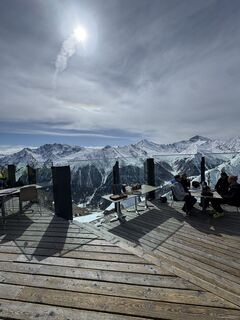
 © Poke TimeUstvarjeno na 28.03.2025

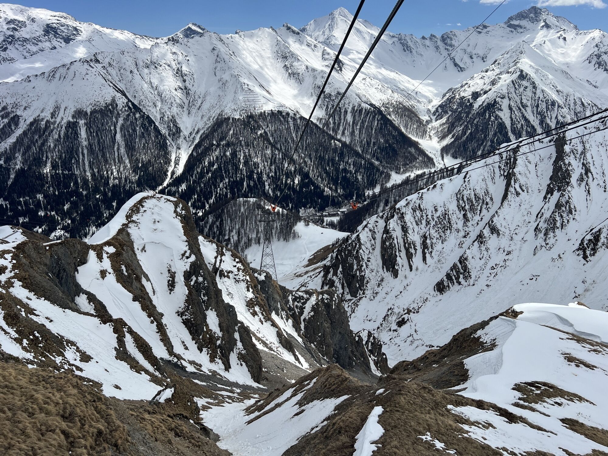


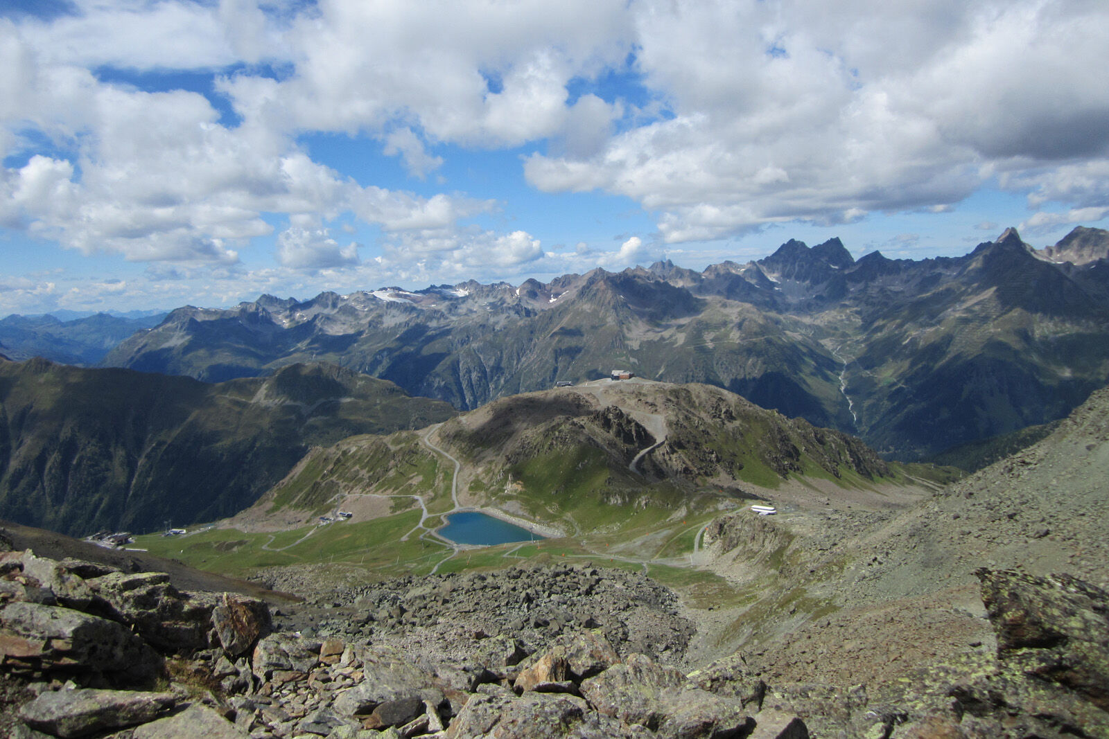
From the Alp Trida saddle the hike begins along the ridge of Alp Trider Eck towards Viderjoch. Shortly below Viderjoch, the trail passes the deep blue snow-making lake. Viderjoch is on the border between...
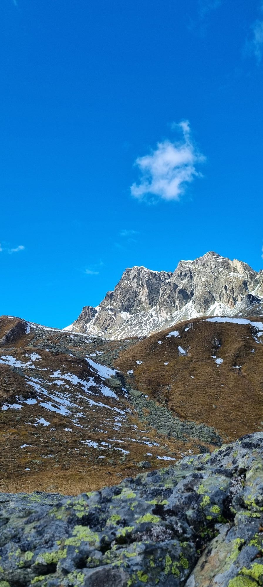
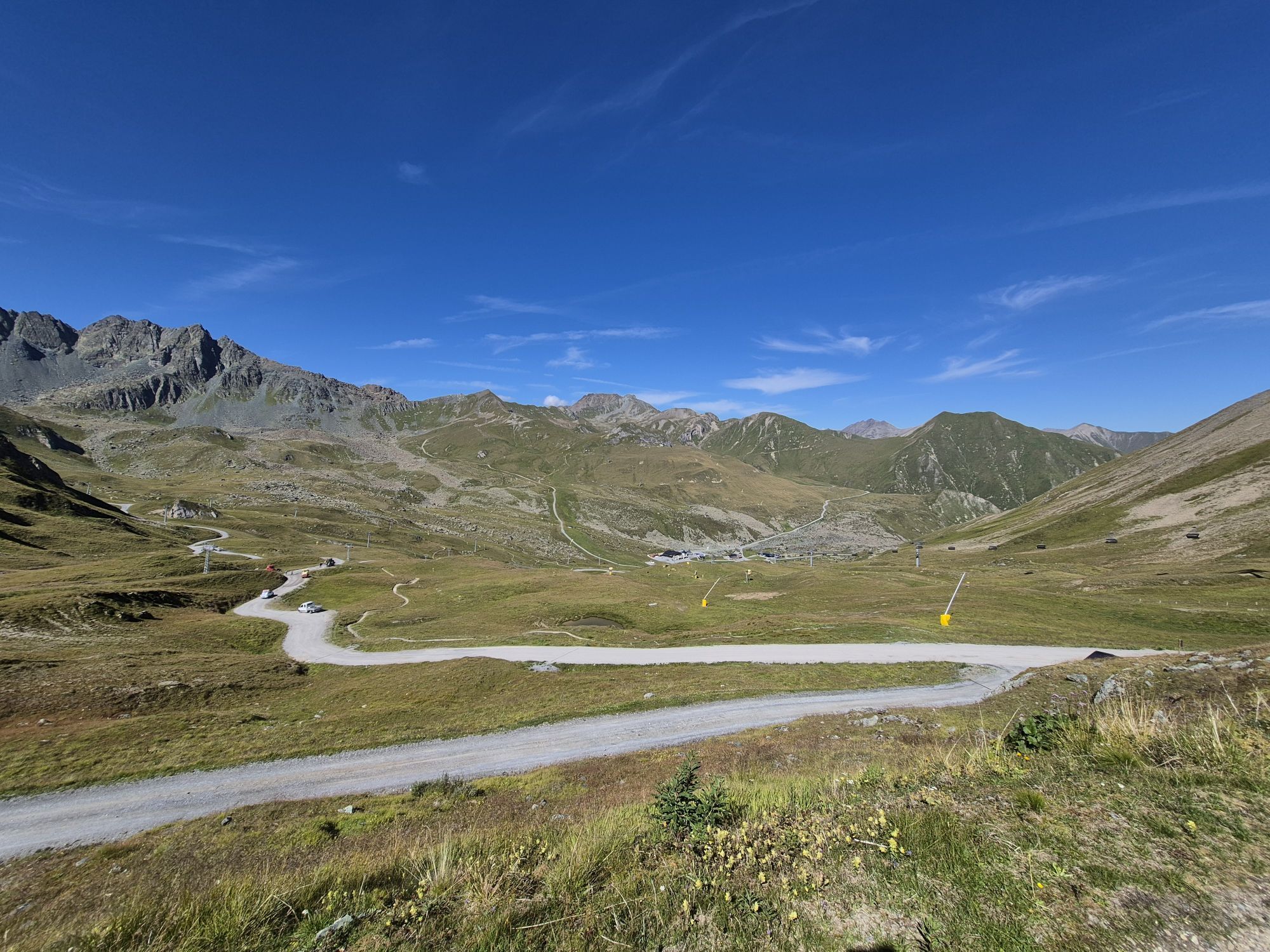
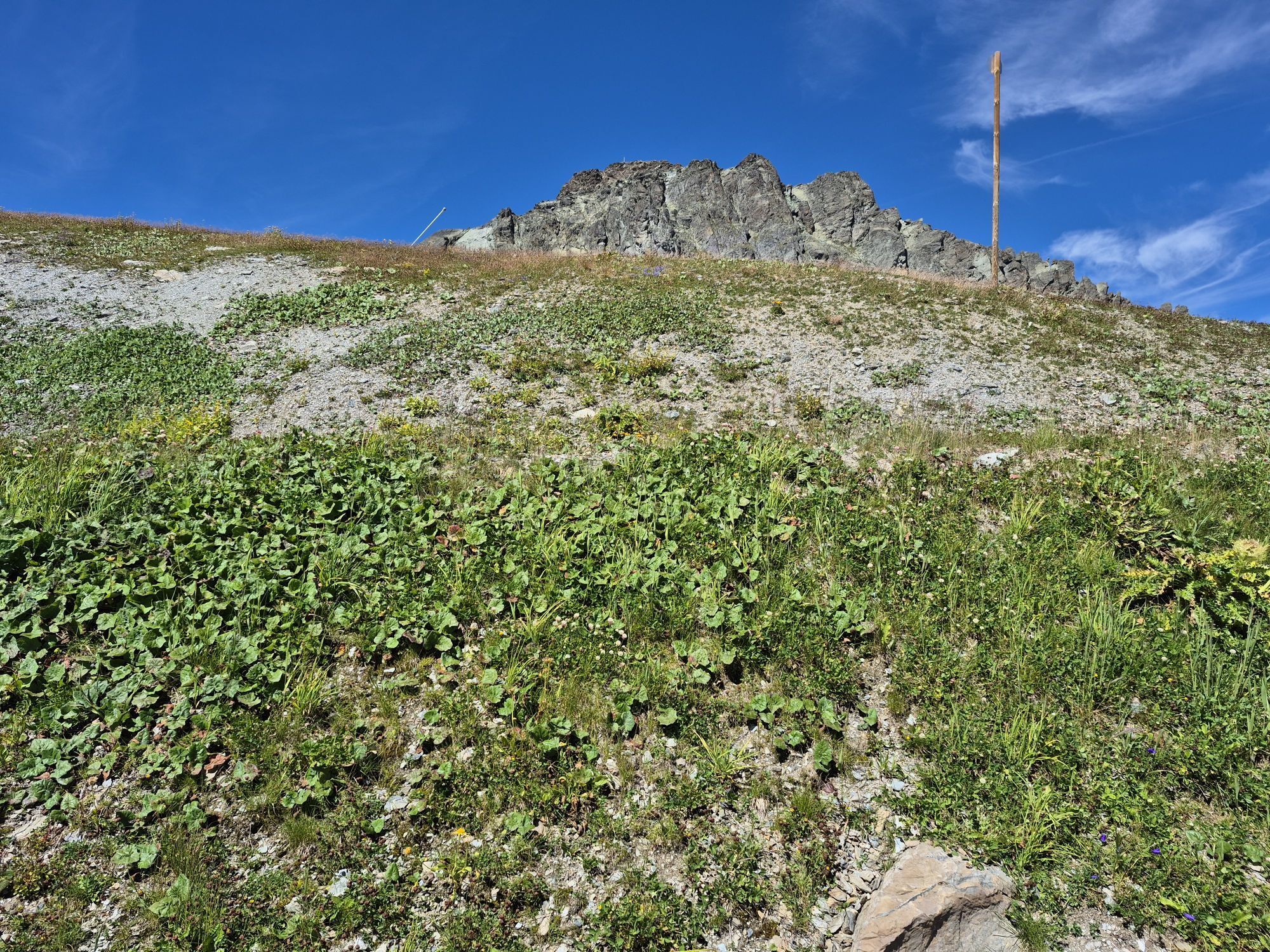
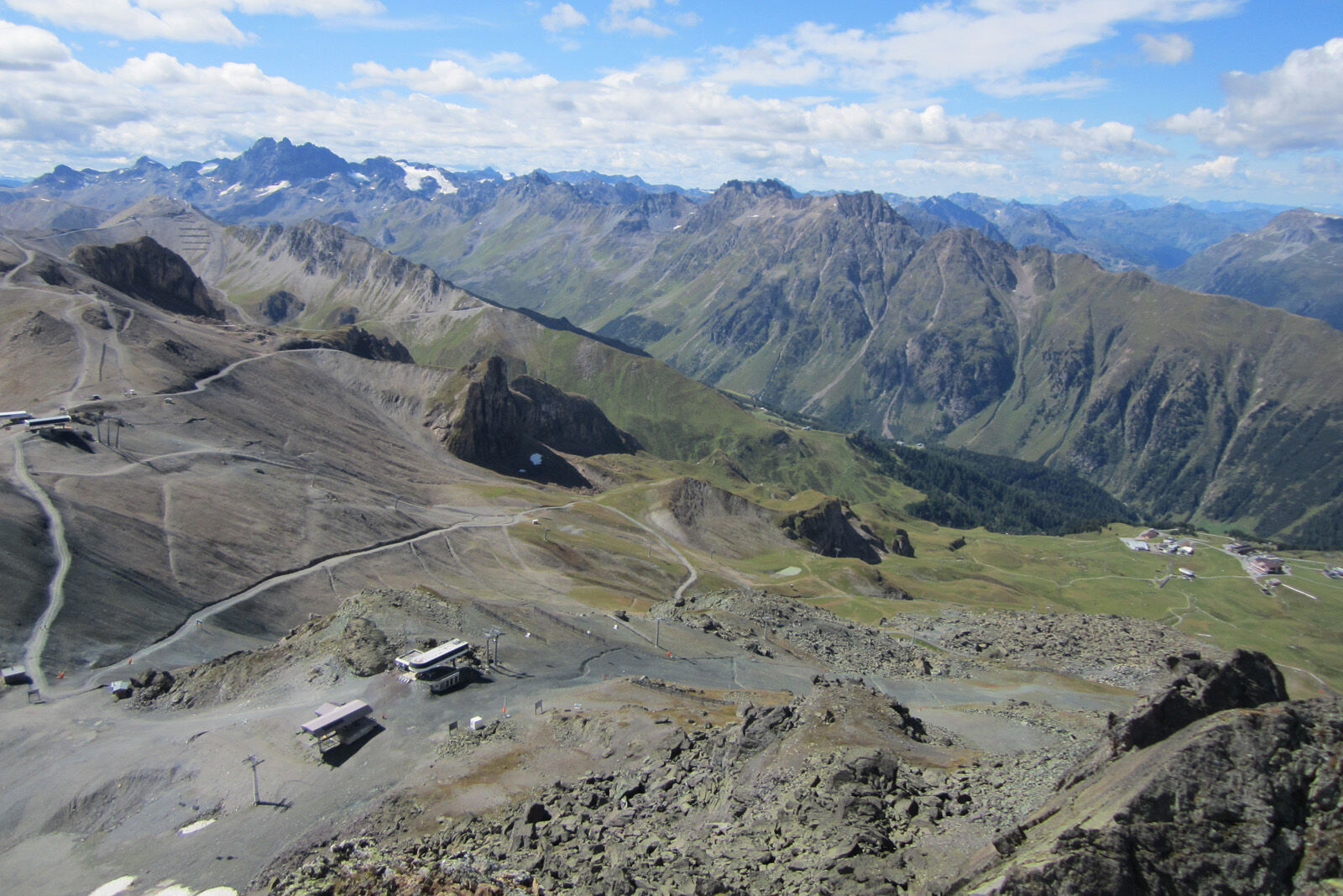
From the Alp Trida saddle the hike begins along the ridge of Alp Trider Eck towards Viderjoch. Shortly below Viderjoch, the trail passes the deep blue snow-making lake. Viderjoch is on the border between Austria and Switzerland. This point can also be reached by chairlift via Alp Trida. Now the path continues to the left of Flimspitz on Austrian soil. A short descent follows before the well-signposted path leads over the imposing rockfall below Flimspitz. The path leads in a short ascent to Flimjoch, where again the national border is crossed. Here you have the possibility to make a detour to the Flimspitz. To the left, Bürkelkopf and Bürkelspitze arise. At the bottom of the plain there are five small lakes. The numerous large boulders around the lakes are perfect for a rest. You can return to the Alp Trida saddle in just under an hour.


From Alp Trida Sattel along the ridge towards Viderjoch
Under the Viderjoch past the mountain lake and towards Flimspitz
Follow the path to Flimjoch
Optional detour to the Flimspitz
Descent to the lakes
Return to the Alp Trida saddle
Da
Da
Good shoes, rain and sun protection, water bottle, bandages.
emergency call:
144 Emergency call, first aid
1414 Mountain rescue REGA
112 International emergency call
From the north: via Landquart - Klosters by car transport through the Vereina tunnel (Selfranga - Sagliains) Then take the H27 in the direction via Scuol and Martina to Vinadi. At the junction Vinadi to Samnaun (about 1 hour from Vereina Südportal)
From the east: via the Inn valley road B180 via Landeck to Pfunds, junction Kajetansbrücke and via Spiss to Samnaun.
From the south: via Reschenpass (Nauders) on B180 to Pfunds, junction Kajetansbrücke and via Spiss to Samnaun.
With the Rhaetian Railway (from Chur, Landquart/Prättigau or from the Upper Engadine) every hour to Scuol-Tarasp station
Hourly connections with the PostBus, line 921 to Samnaun-Ravaisch, mountain railroads
Parking spaces at the valley station of the double-decker cable car, Samnaun-Ravaisch

Priljubljeni izleti v okolici
- 4.4
St Anton zur Darmstädter Hütte
težkoMountainbike 28.4 km - 5.0
Menta Alm - Scheibenalm
svetlobaPohodništvo 11.4 km - 4.7
Jamtal lodge
srednjaPohodništvo 19.6 km - 5.0
Darmstädter Hütte mit Rückweg über Rendl Alpe
srednjaMountainbike 36.3 km - 4.3
Sonnenkogel - Friedrichshafener lodge
srednjaPohodništvo 13.2 km - 5.0
Rundwanderung Berglisee, Mathon
težkoPohodništvo 11.1 km - 4.9
Furgler vom Lazid
težkoVisokogorska tura 9.60 km - 5.0
Kappl, Diasbahn Bergstation, Niederelbehütte, Diasbahn, Österreich
srednjaPohodništvo 10.1 km Von Galtür zur Jamtalhütte mit Trail
srednjaE-MTB 21 km- 5.0
Samnaun Dorf – Muttler
težkoPohodništvo 14.8 km

Pohodništvo in sledenje


Ne zamudite ponudb in navdiha za naslednje počitnice
Vaš e-poštni naslov je bil dodan na poštni seznam.