


Via Engiadina trek, 1st stage Zernez - Lavin
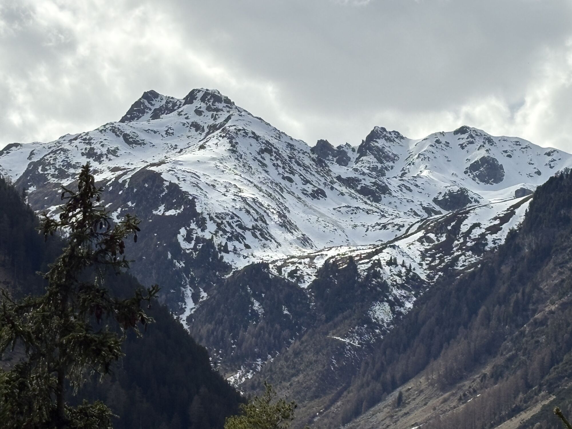
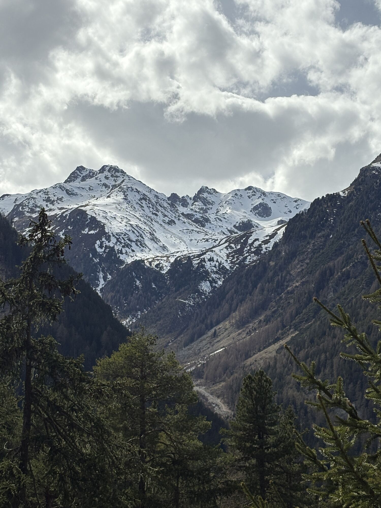
From Zernez train station, the trail leads through the village in the direction of the church. At the end of the village, continue along the forest road between the Inn and the edge of the forest. At the...
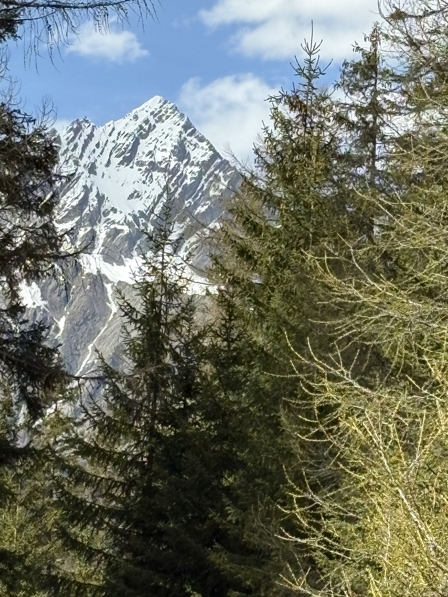
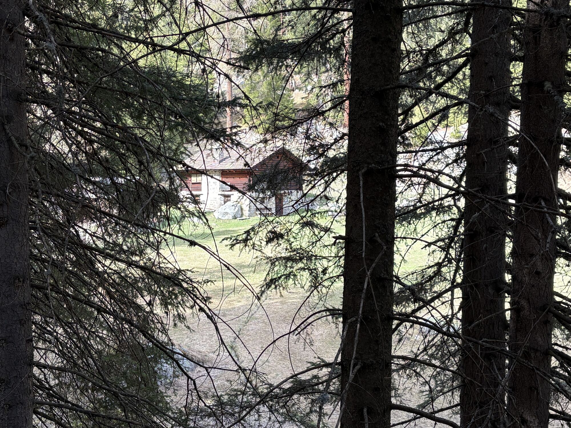
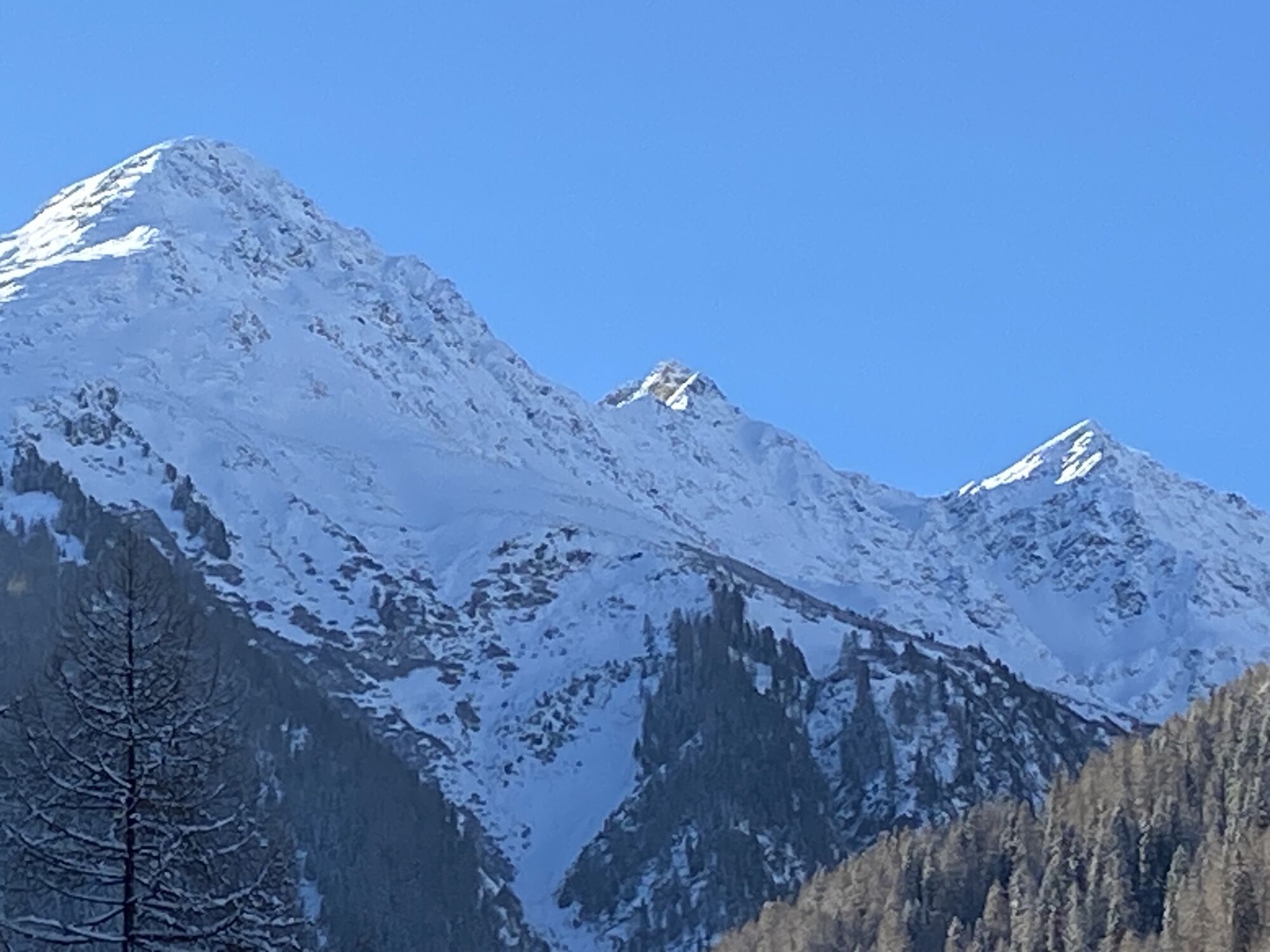
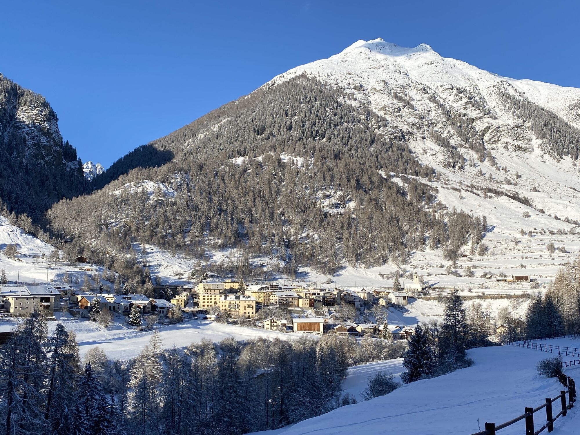
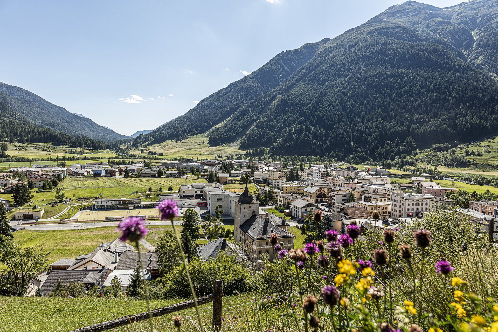
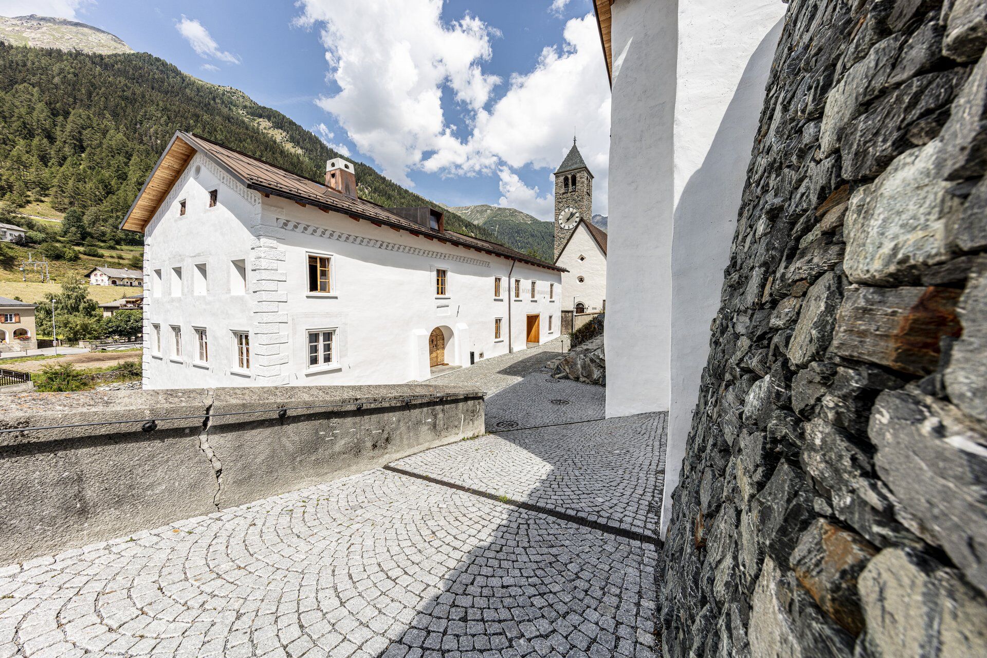
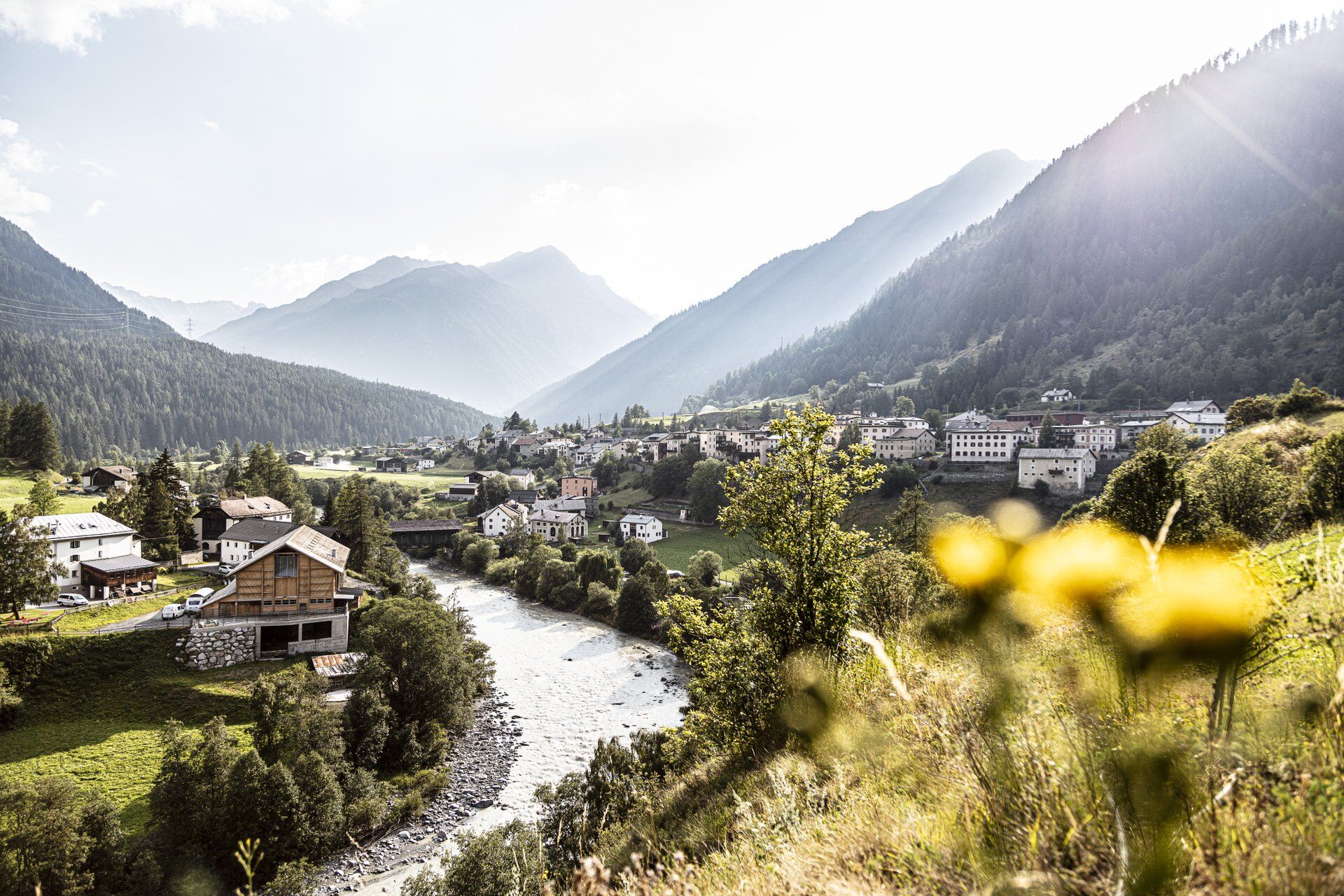
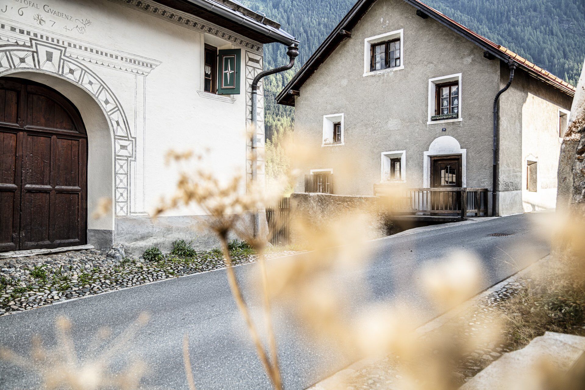
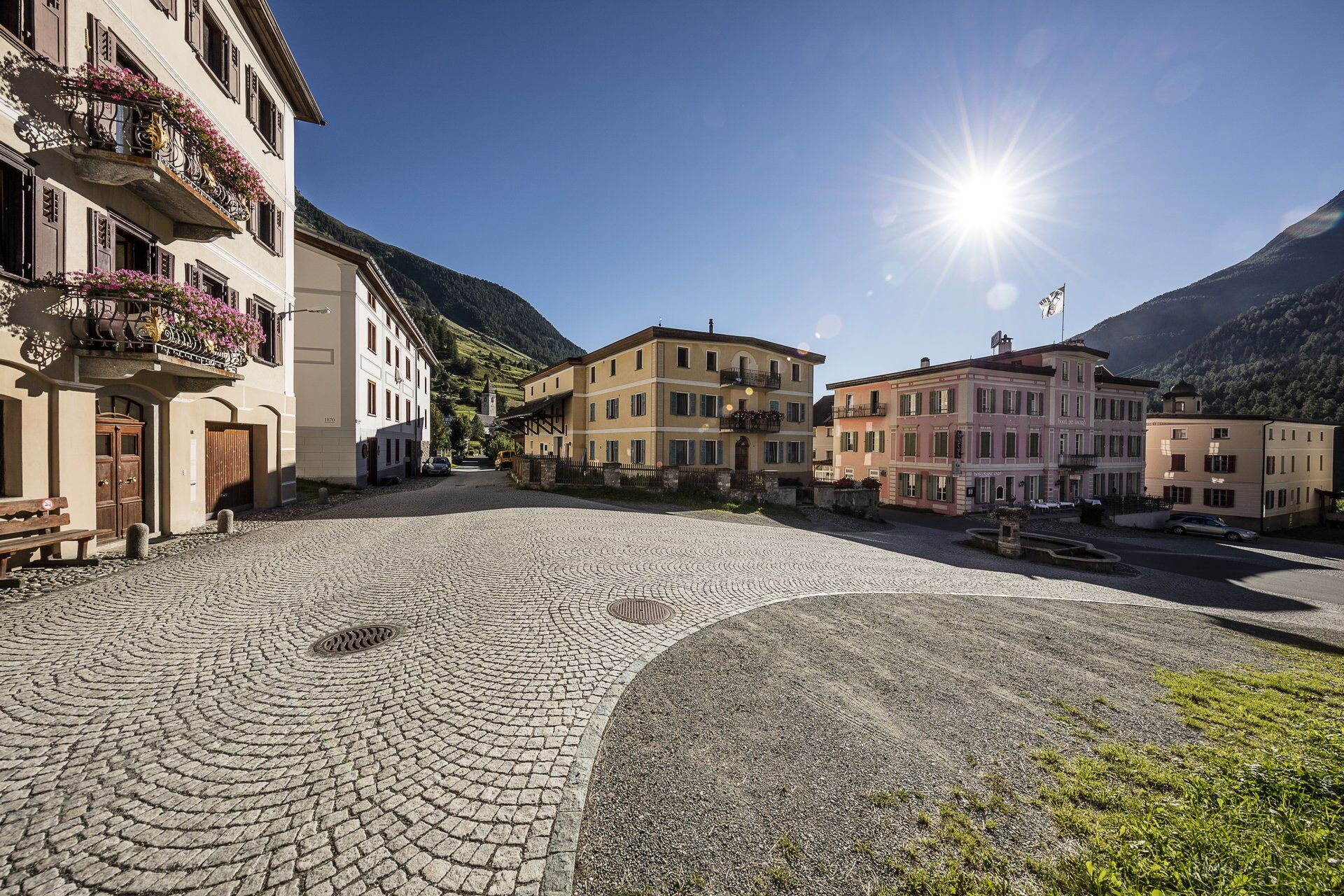
From Zernez train station, the trail leads through the village in the direction of the church. At the end of the village, continue along the forest road between the Inn and the edge of the forest. At the next clearing, two forest roads come together, which separate again after about 200 meters and the path leads up to the right into the forest. The route is varied, always staying on the forest road, crossing meadows and small wooded areas via Clüs up to a beautiful clearing with a view of Zernez and then down through the forest to "La Güstizia". There the path turns left and leads you directly along the Inn river to Susch. In Susch the path leads either through the village, where there are also possibilities to stop for refreshments, or you make a detour to the Rohan Fortress, which is enthroned on a hill above Susch. The way there and back to the fortress takes about 1 hour. Afterwards you continue across the God Surpunt, always oriented towards Lavin. In Lavin there are various possibilities for refreshments.

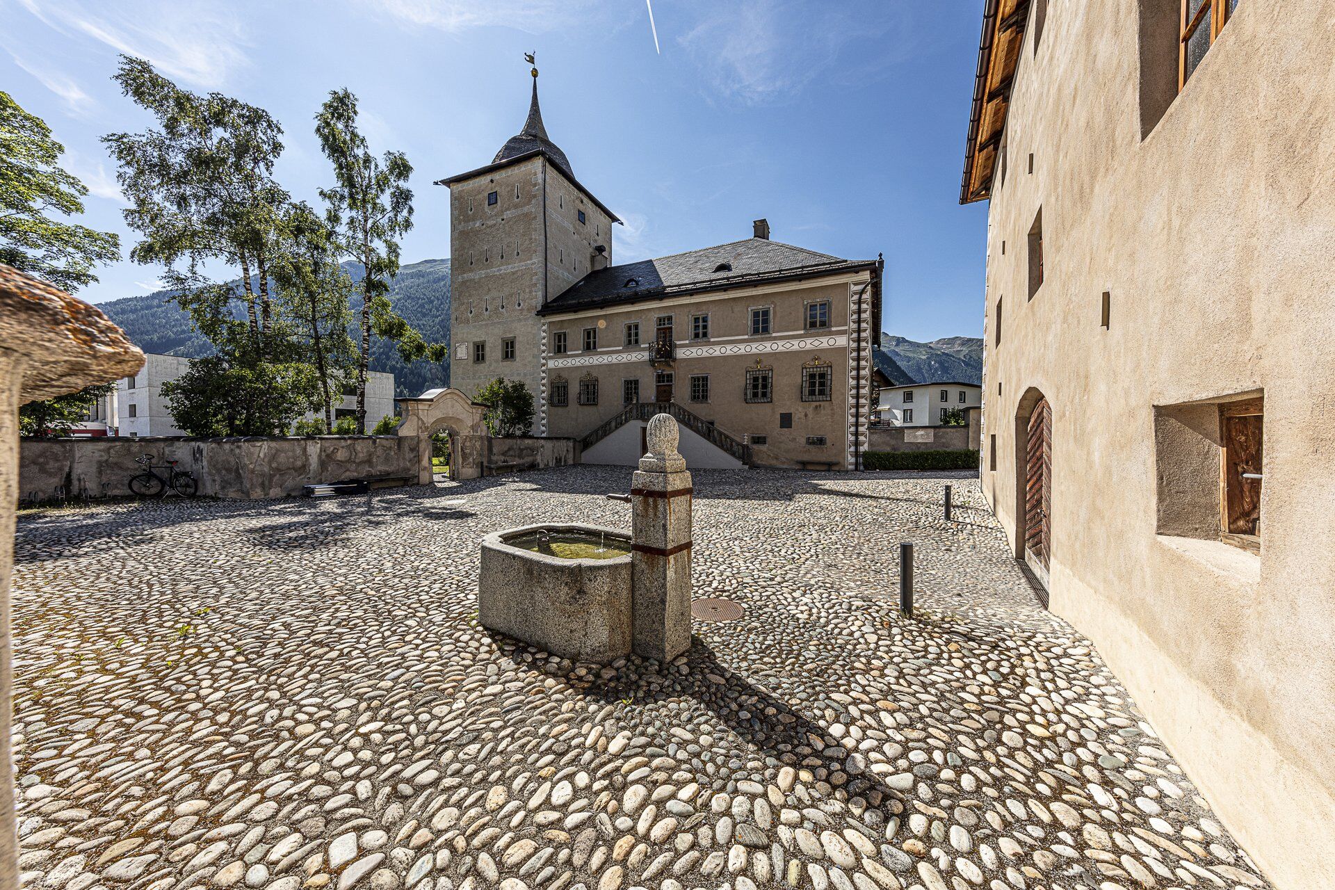
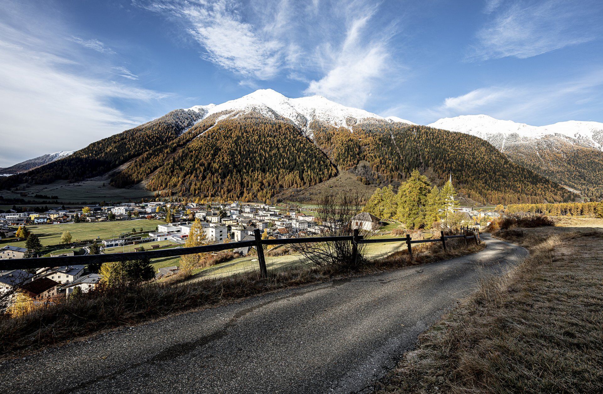
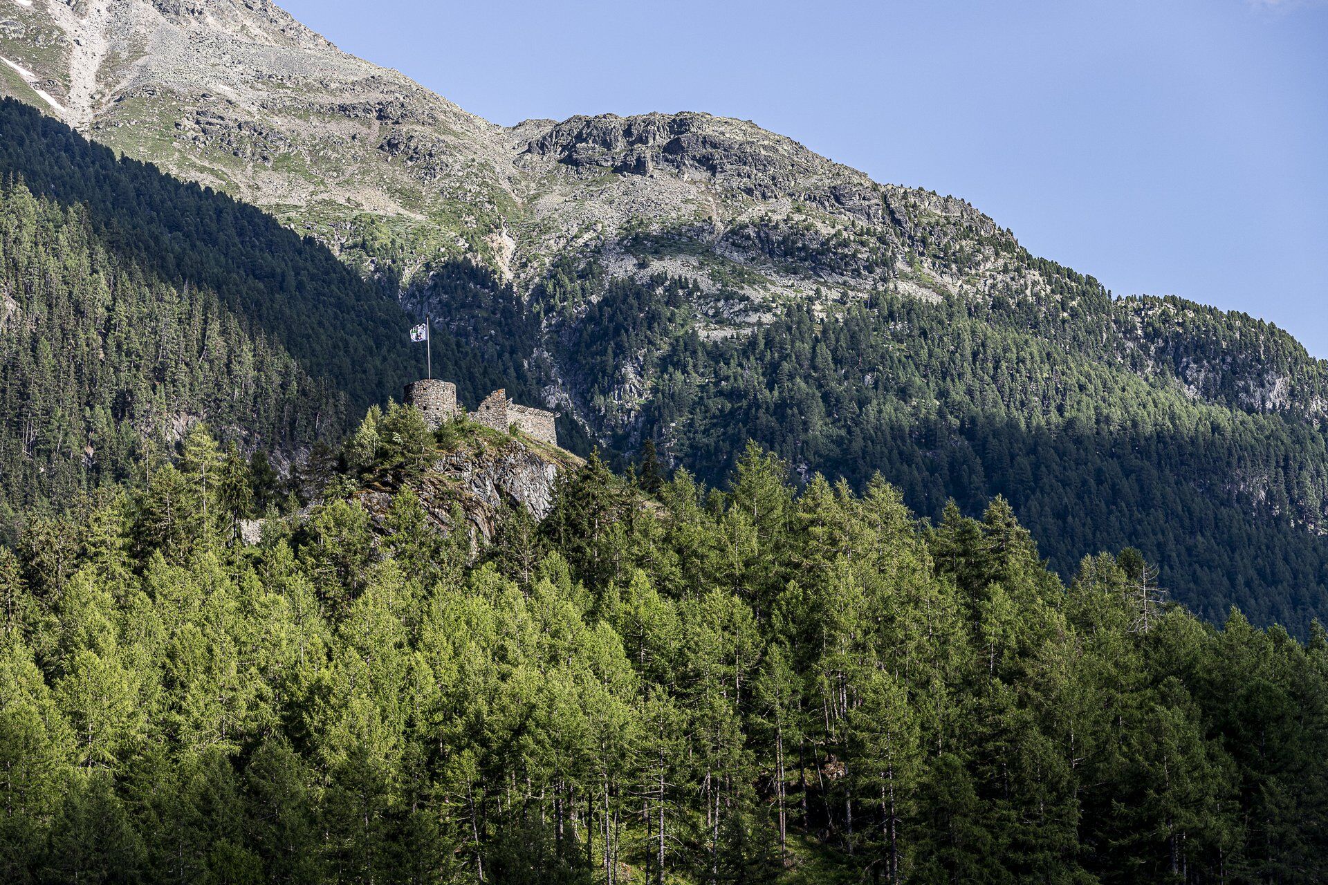
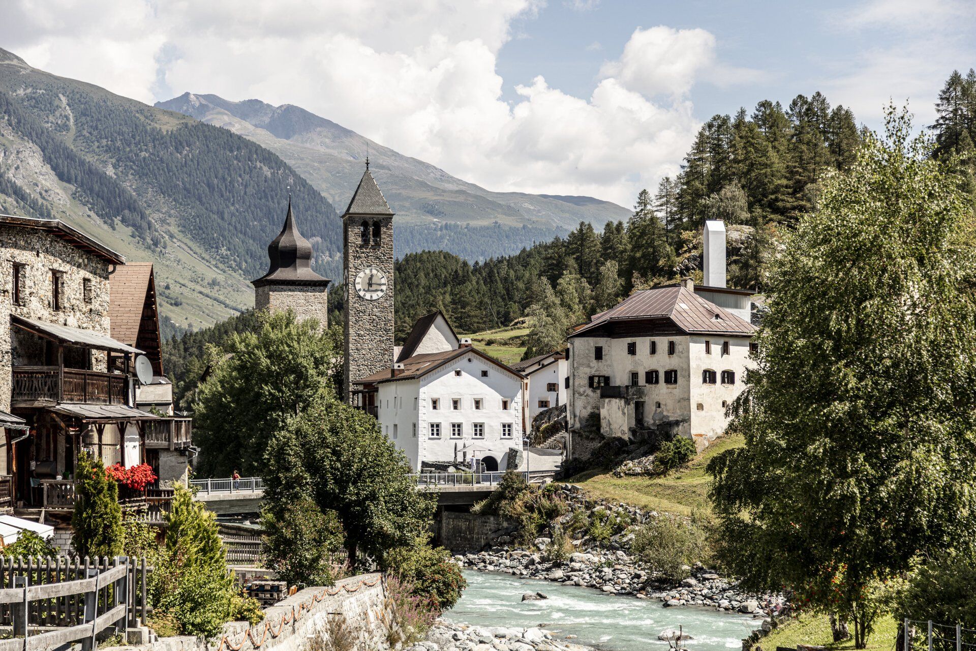
Start at Zernez train stationWalk through the village in the direction of the churchUnder the church continue in the direction of the village exit and the edge of the forestFollow the Inn on the forest road to SuschCross the Inn on the wooden bridge, cross the village and cross the bridge again to the right side of the Inn.Alternative: detour to Rohan Castle (approx. 1 hour there and back)After Susch continue on the forest roadDetour Foura Baldirun possibleContinue to LavinCross the Inn and walk up through the village towards the church
Da
High and stable hiking shoes or boots, warm cloths, sun protection and rain cover. Furthermore hiking sticks, flied glass and official hiking maps are recommended.
This tour got evaluated during summertime with good weather conditions. We highly recommend to check always the current weather forecast and plan your hikings according to that.
All hiking trails along the Via Engiadina trek require alpine experience and good orienteering. Furthermore stable hiking boots are recommended.
Emergency/First aid:
144 Swiss emergency call
1414 Swiss mountain rescue team REGA
112 International first aid
Zernez is located directly at the Flüelapass and at the Engadin road H27 (10 minutes drive from Vereina south portal)
With the Rhaetian Railway (from Chur, Landquart/Prättigau, from the Upper Engadine or from Scuol) hourly to Zernez station
Parking at the train station Zernez.
www.engadin.com/ViaEngiadina
www.engadin.com/ViaCulinaria
www.engadin.com/WanderWellness
The paintings in the church of Lavin is a "must see" spot. In Lavin you also can enjoy a original Engadine nut cake in bakery Giacometti.
Priljubljeni izleti v okolici
- 4,9
Jöriseen
srednjaPohodništvo 11,3 km - 4,8
National park: Zernez – Munt Baselgia – Macun lakes – Alp Zeznina – Lavin
težkoPohodništvo 22,9 km - 4,0
National Park: Margunet
svetlobaPohodništvo 7,76 km - 4,5
Tarasp Fontana – Sparsels – Lai Nair (circular route)
svetlobaPohodništvo 7,67 km - 4,8
National Park: Grimmels (circular hike)
svetlobaPohodništvo 6 km Flüelapass – Schwarzhorn (return)
srednjaPohodništvo 7,92 km- 4,0
Prui – Piz Clünas – Alp Laret – Ftan
srednjaPohodništvo 13,6 km - 5,0
Fluela Schwarzhorn 3147 m
svetlobaVisokogorska tura 7,34 km - 5,0
National Park: Murtaröl
težkoPohodništvo 15,6 km - 5,0
National Park: Spöl Valley
svetlobaPohodništvo 7,67 km

Pohodništvo in sledenje


Ne zamudite ponudb in navdiha za naslednje počitnice
Vaš e-poštni naslov je bil dodan na poštni seznam.