







Tarasp Fontana – Sparsels – Lai Nair (circular route)
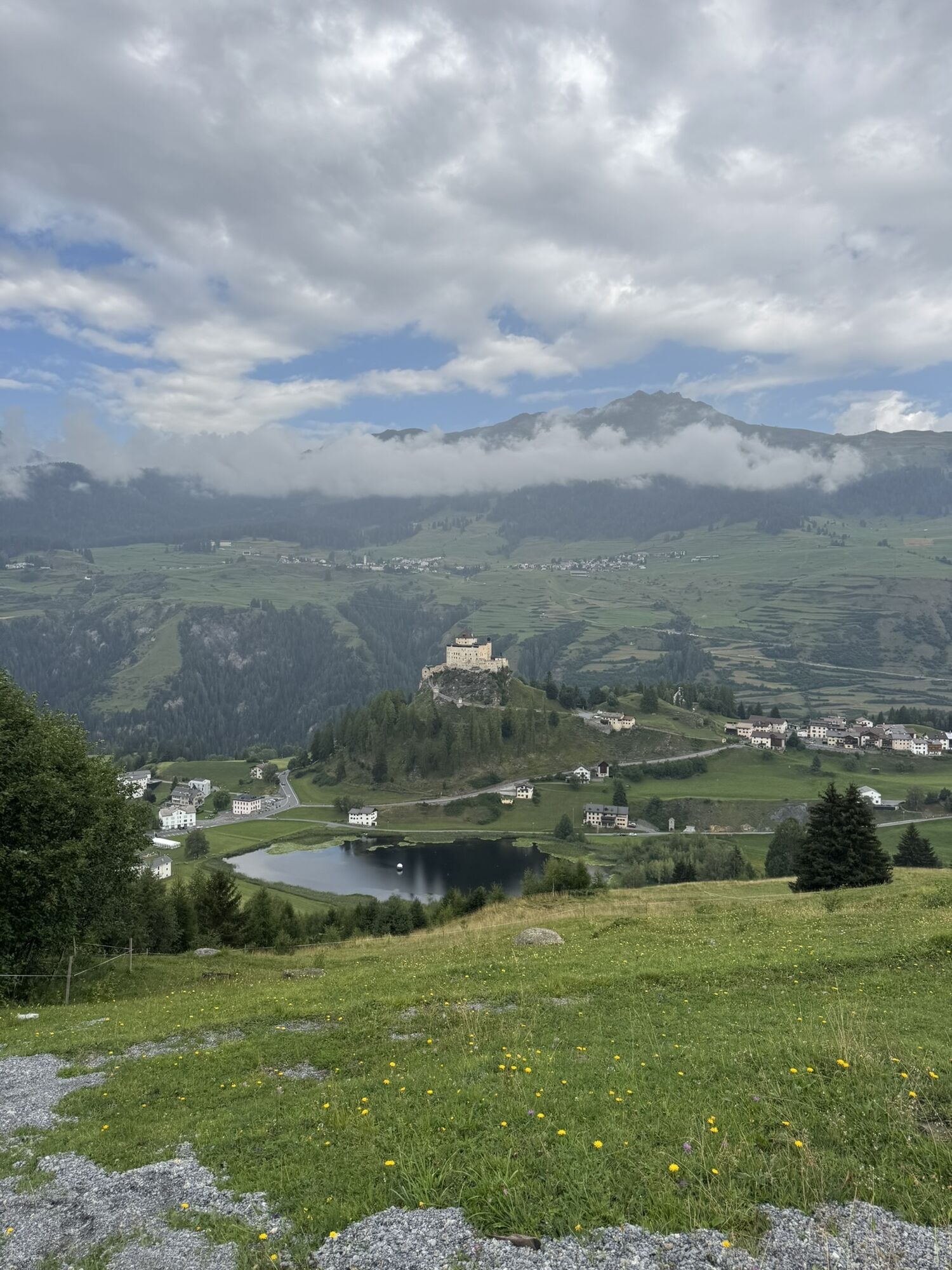
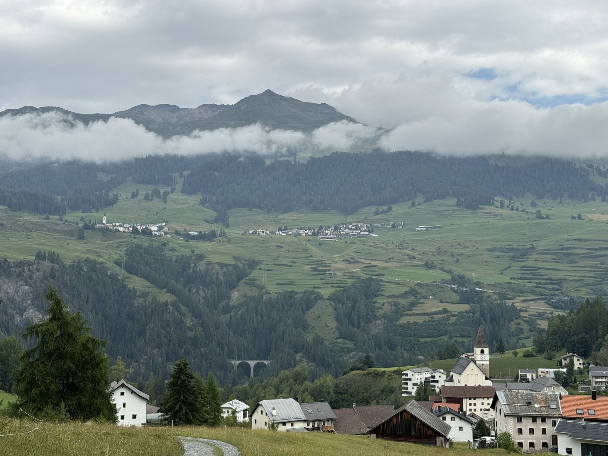
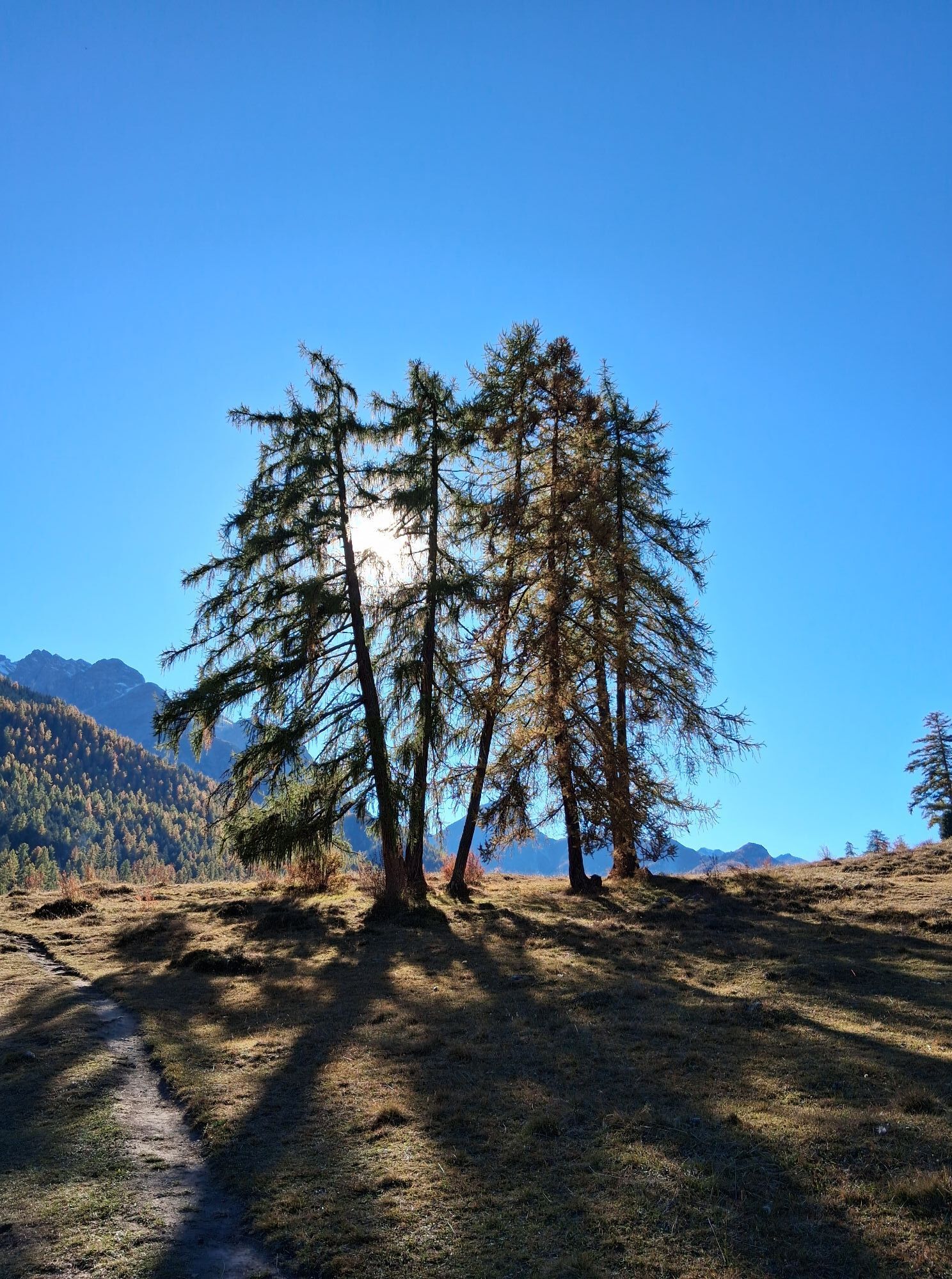
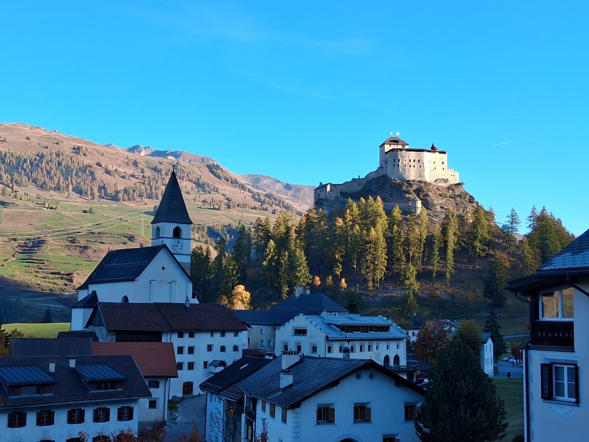
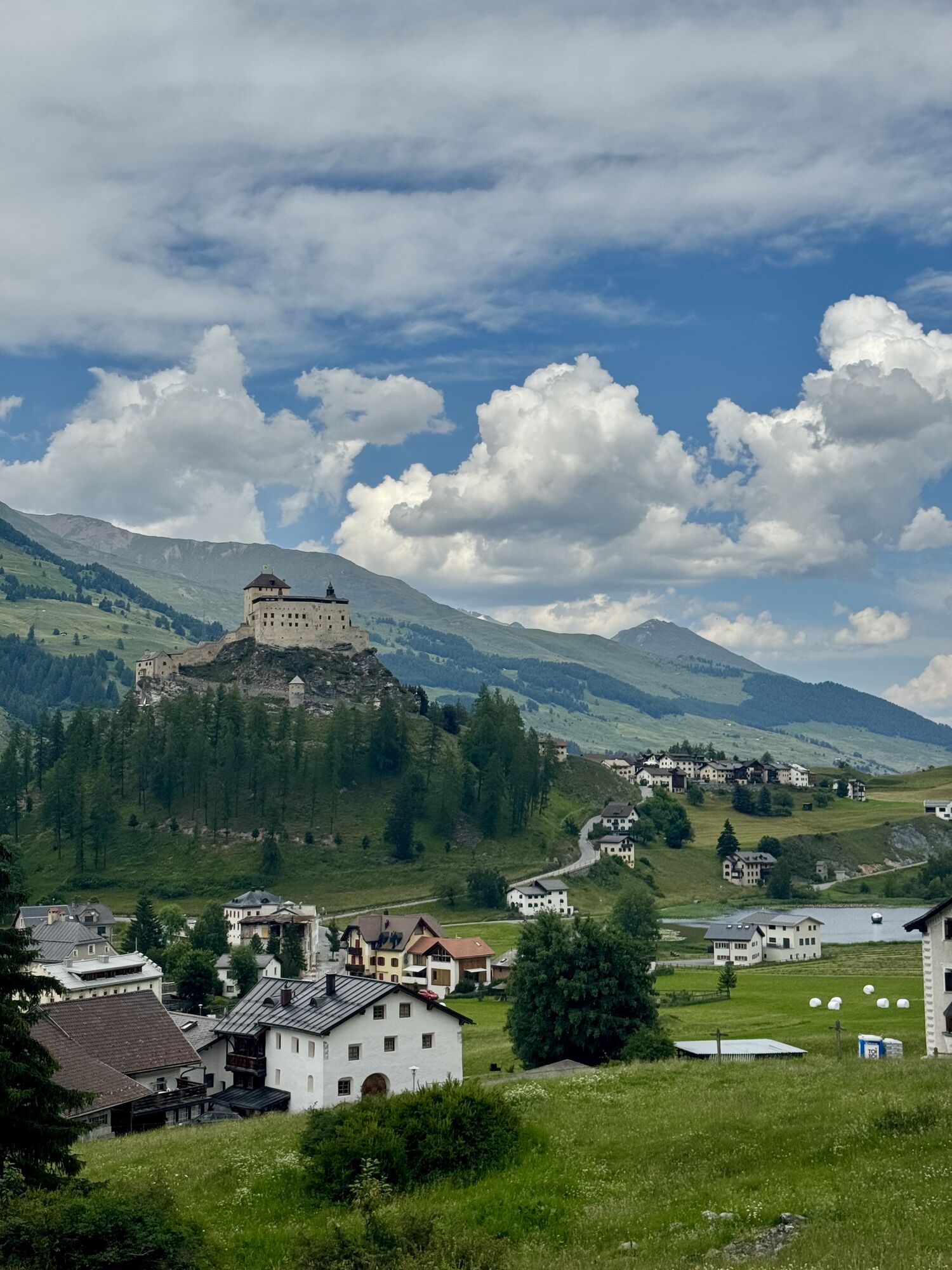
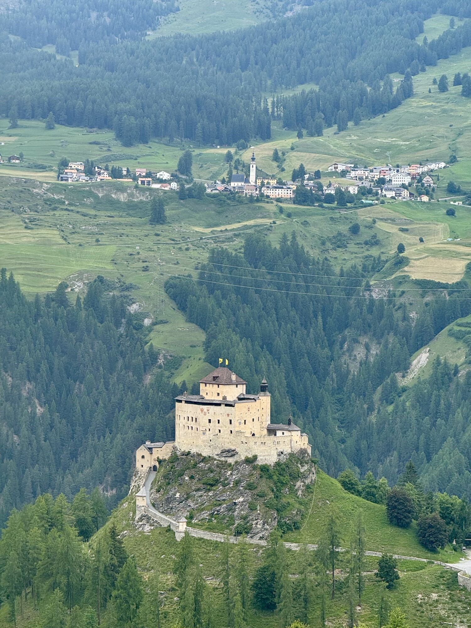
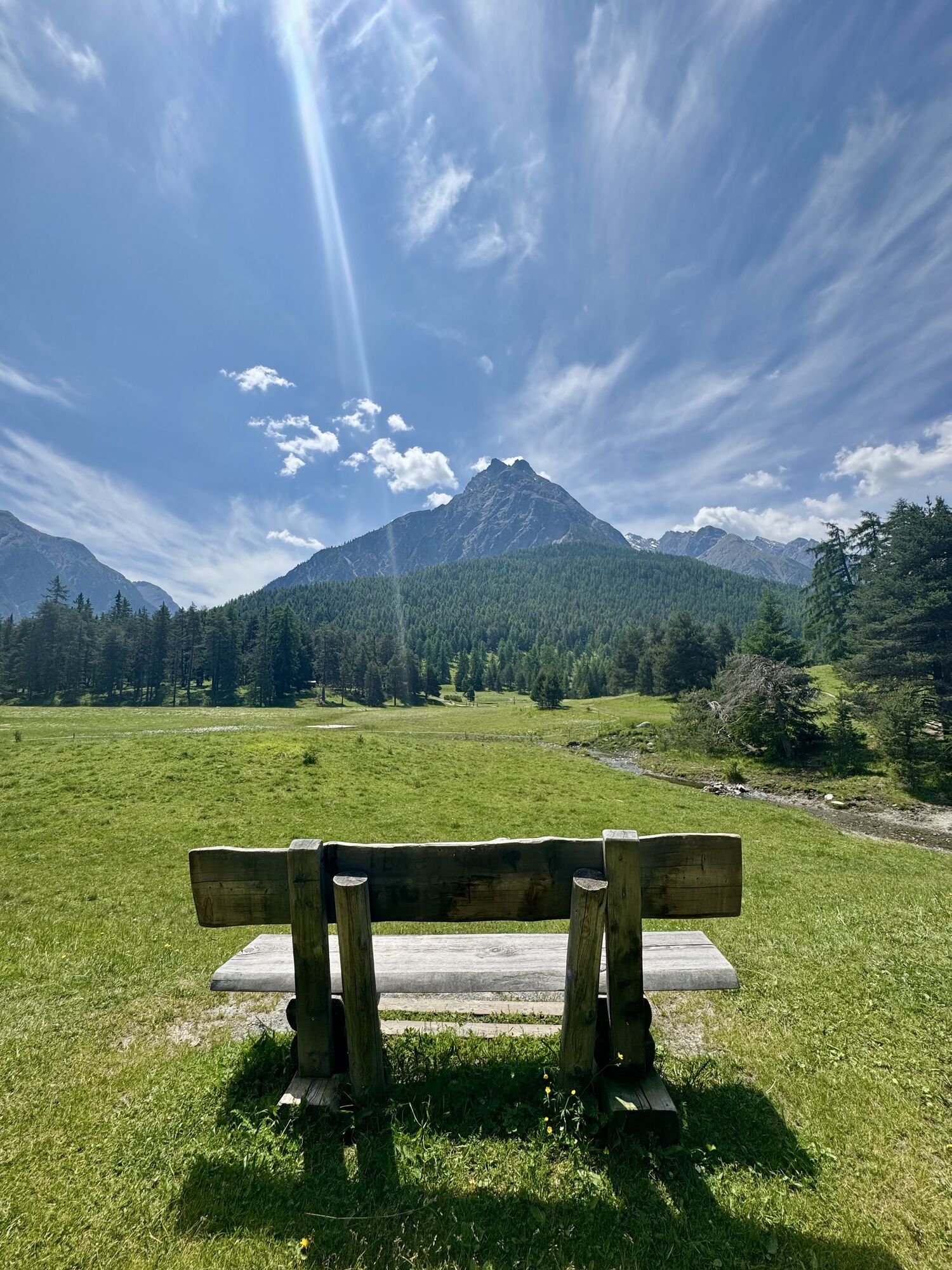
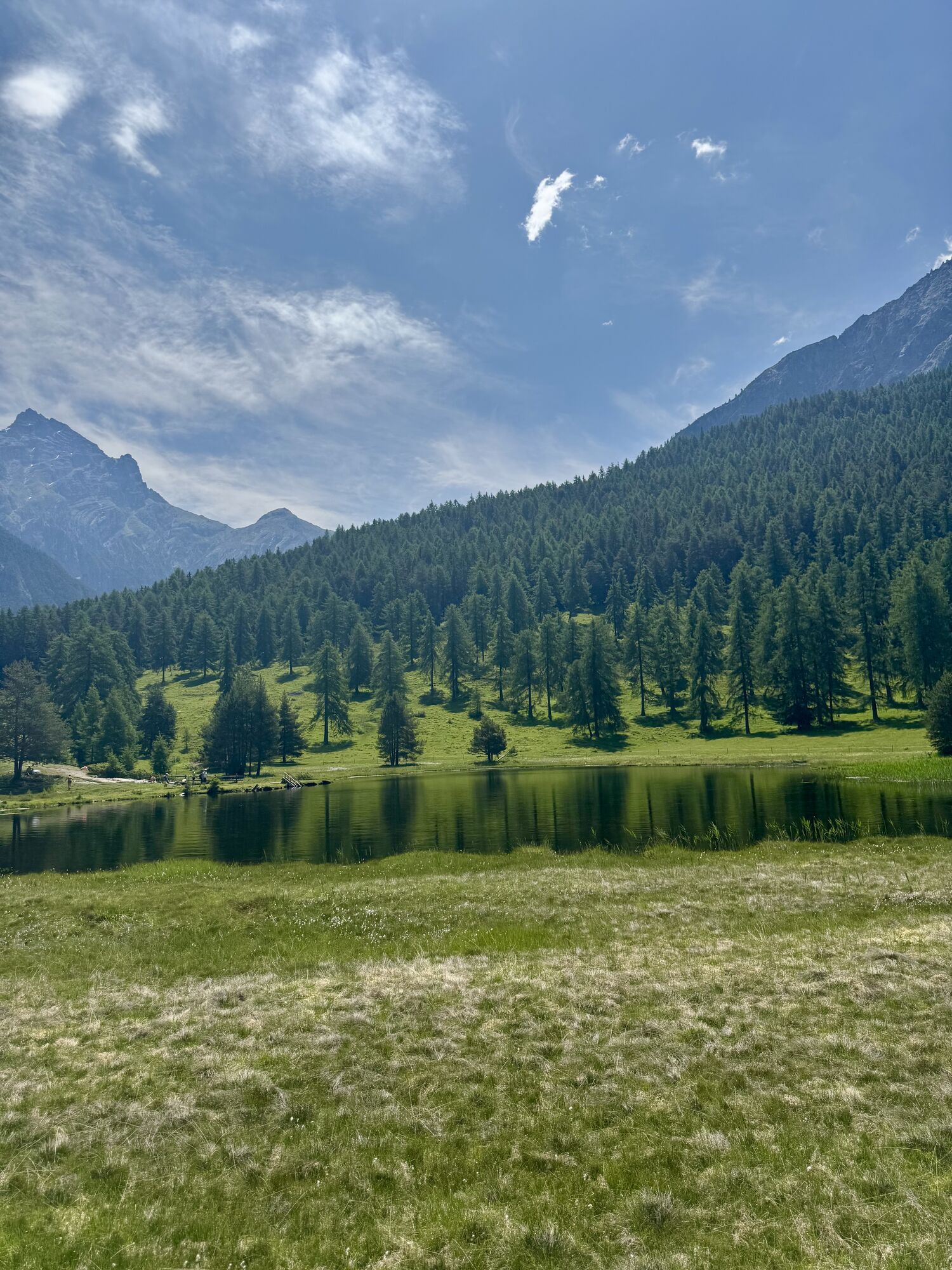
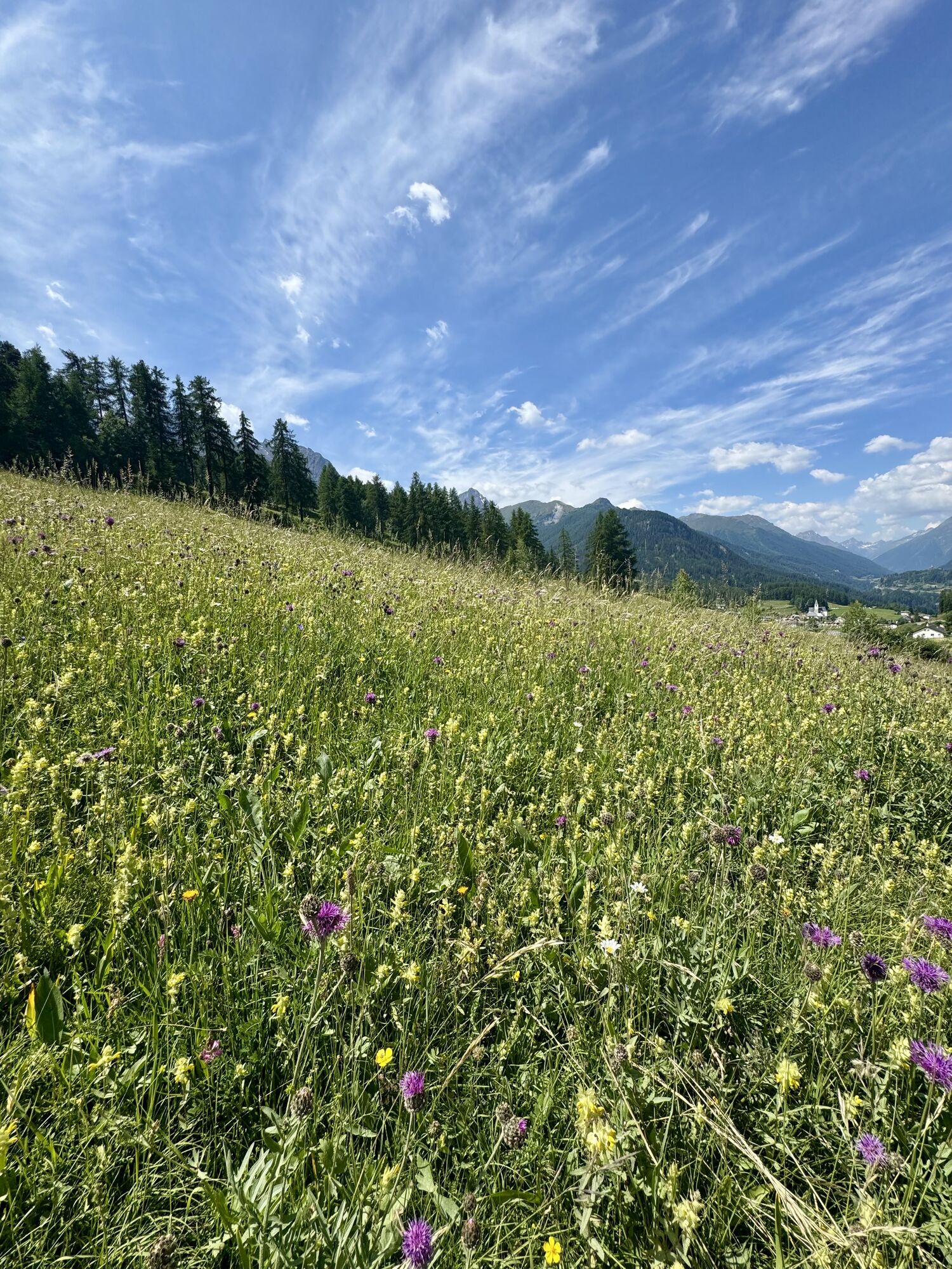
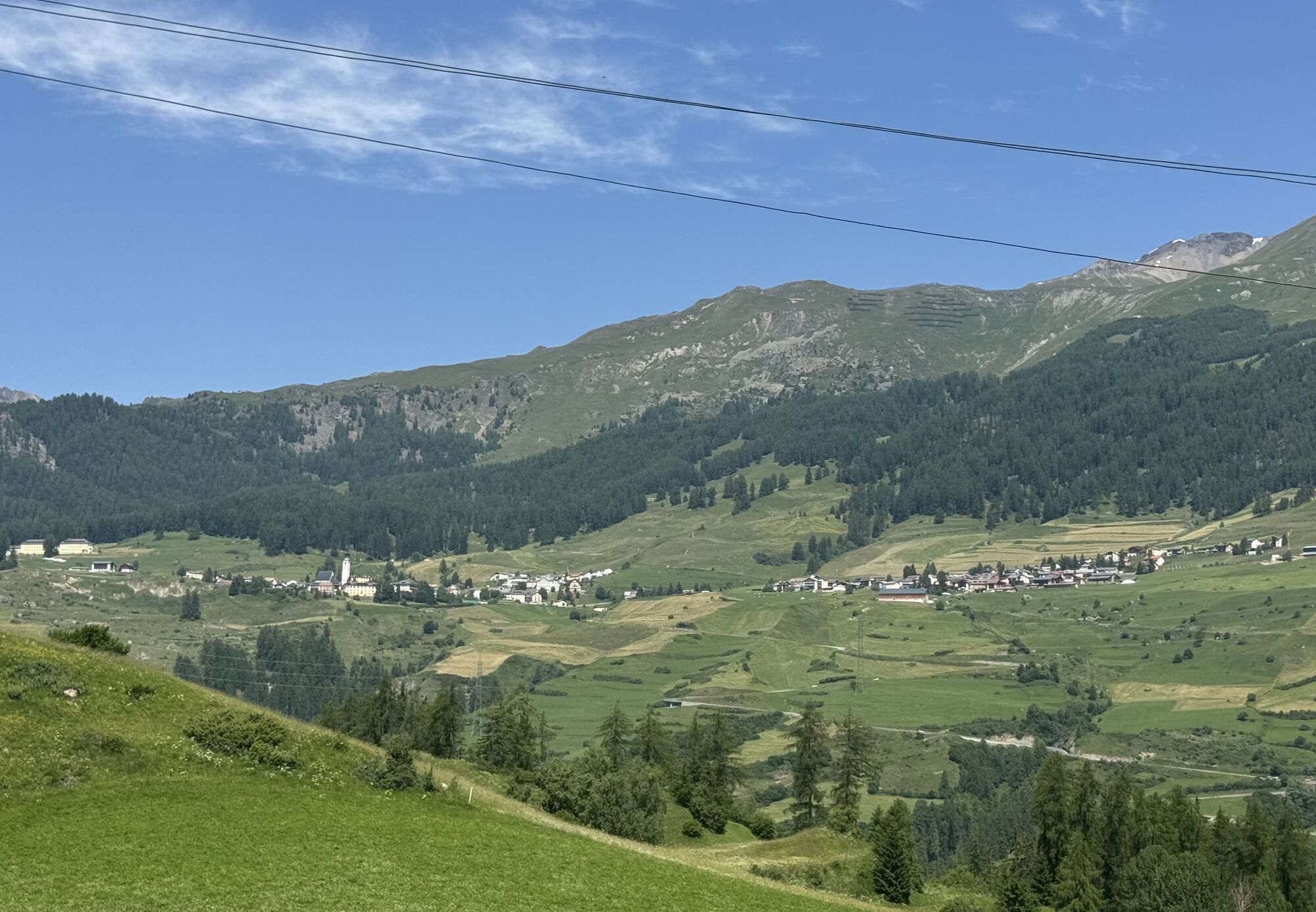
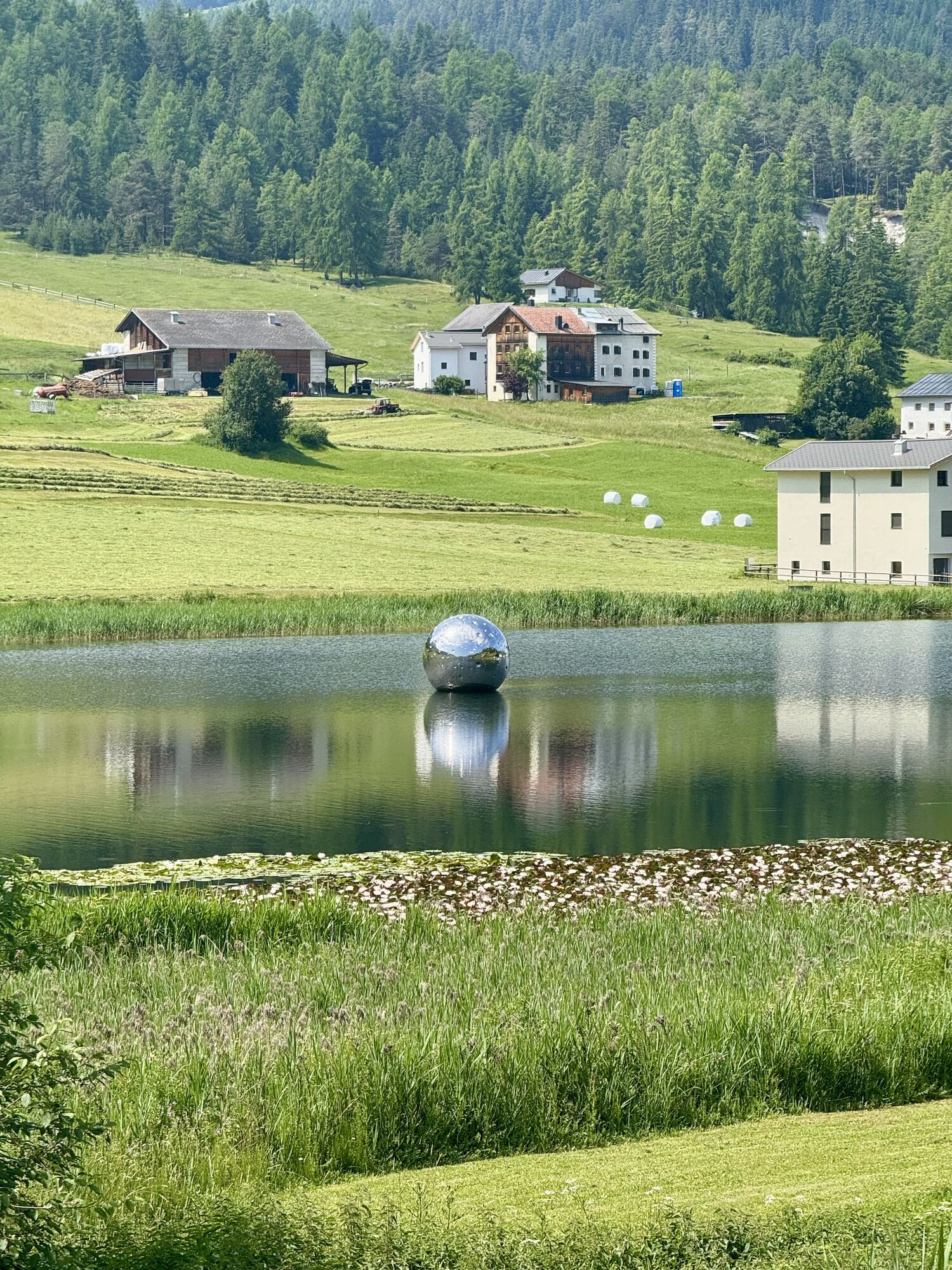
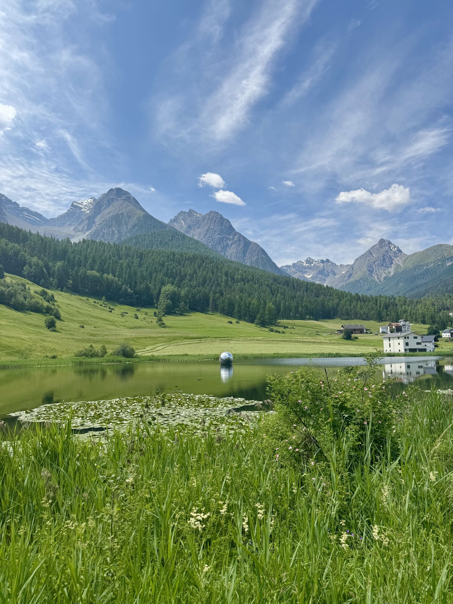
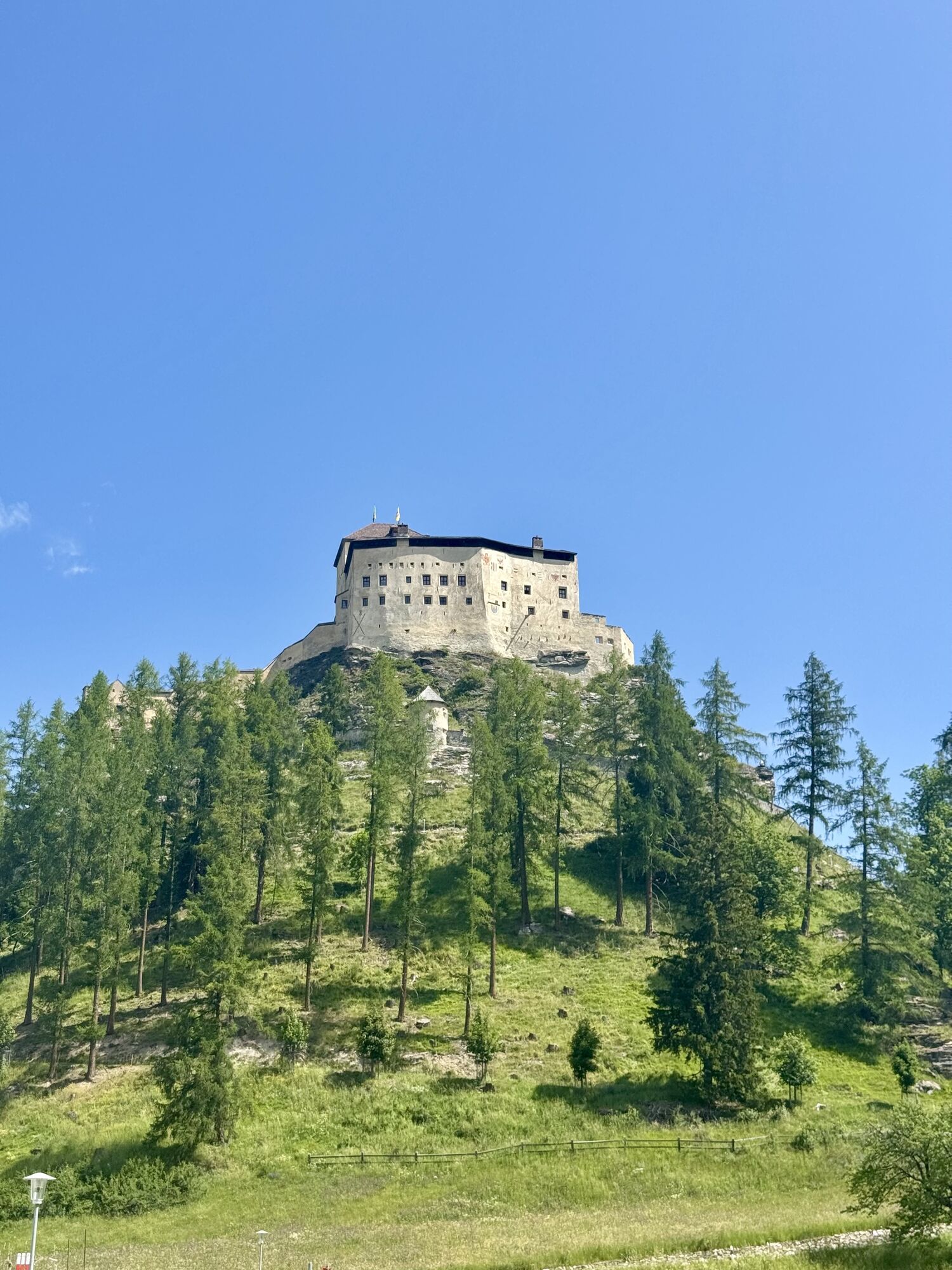
Certainly one of the most beautiful and easiest hikes in the Lower Engadine. Tarasp Castle, landmark of the Lower Engadine; picturesque alleys with authentic Engadine houses and the magnificent mountain...
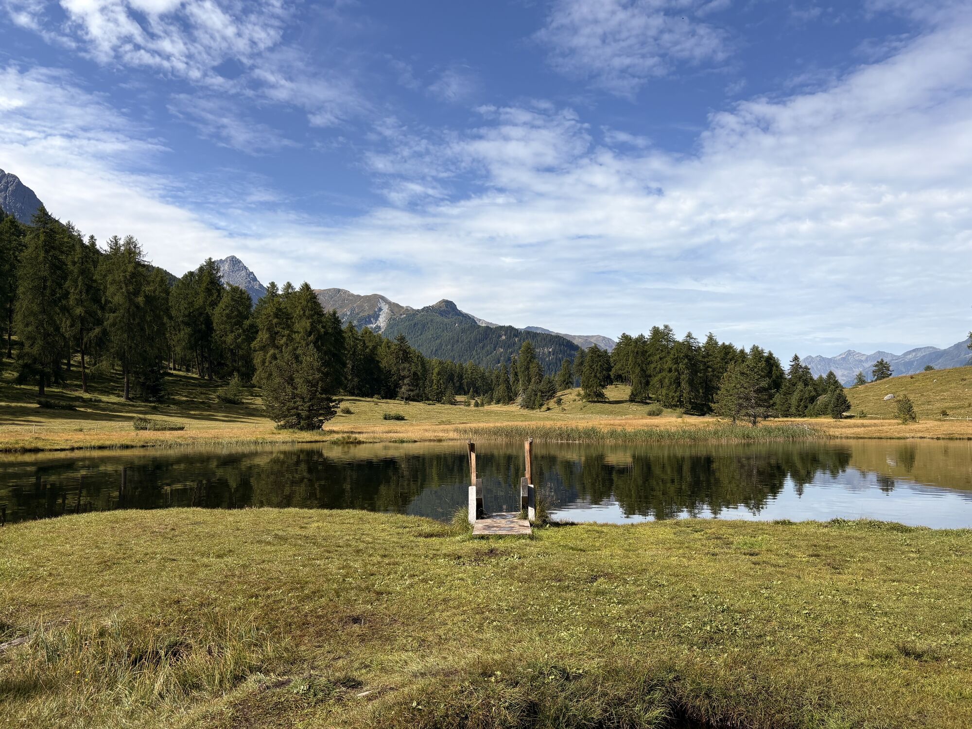
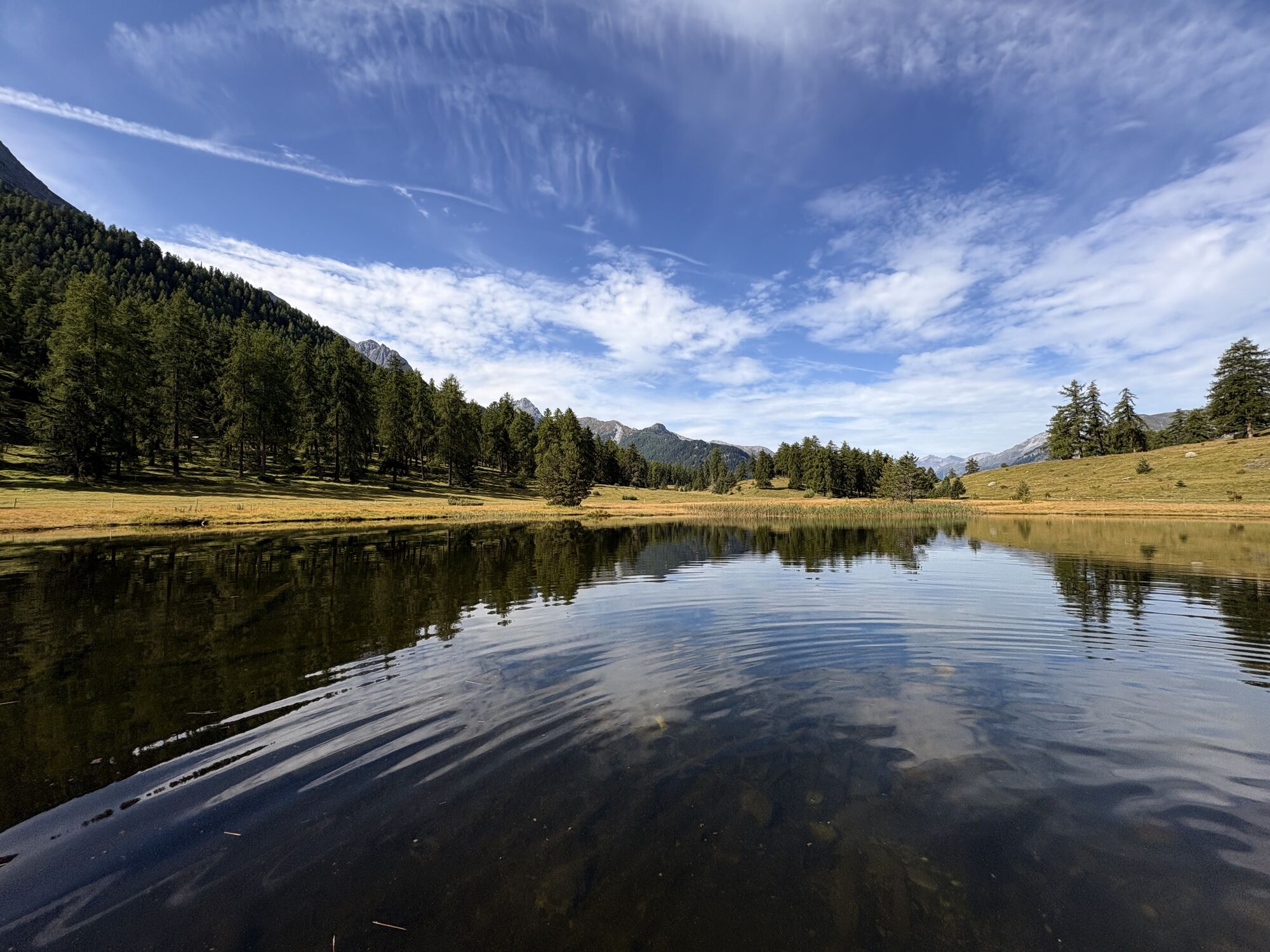
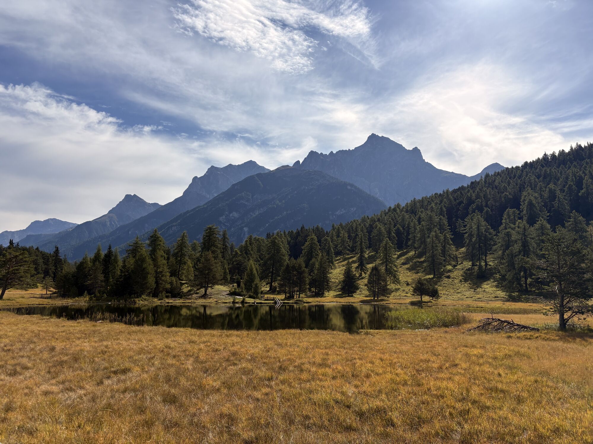
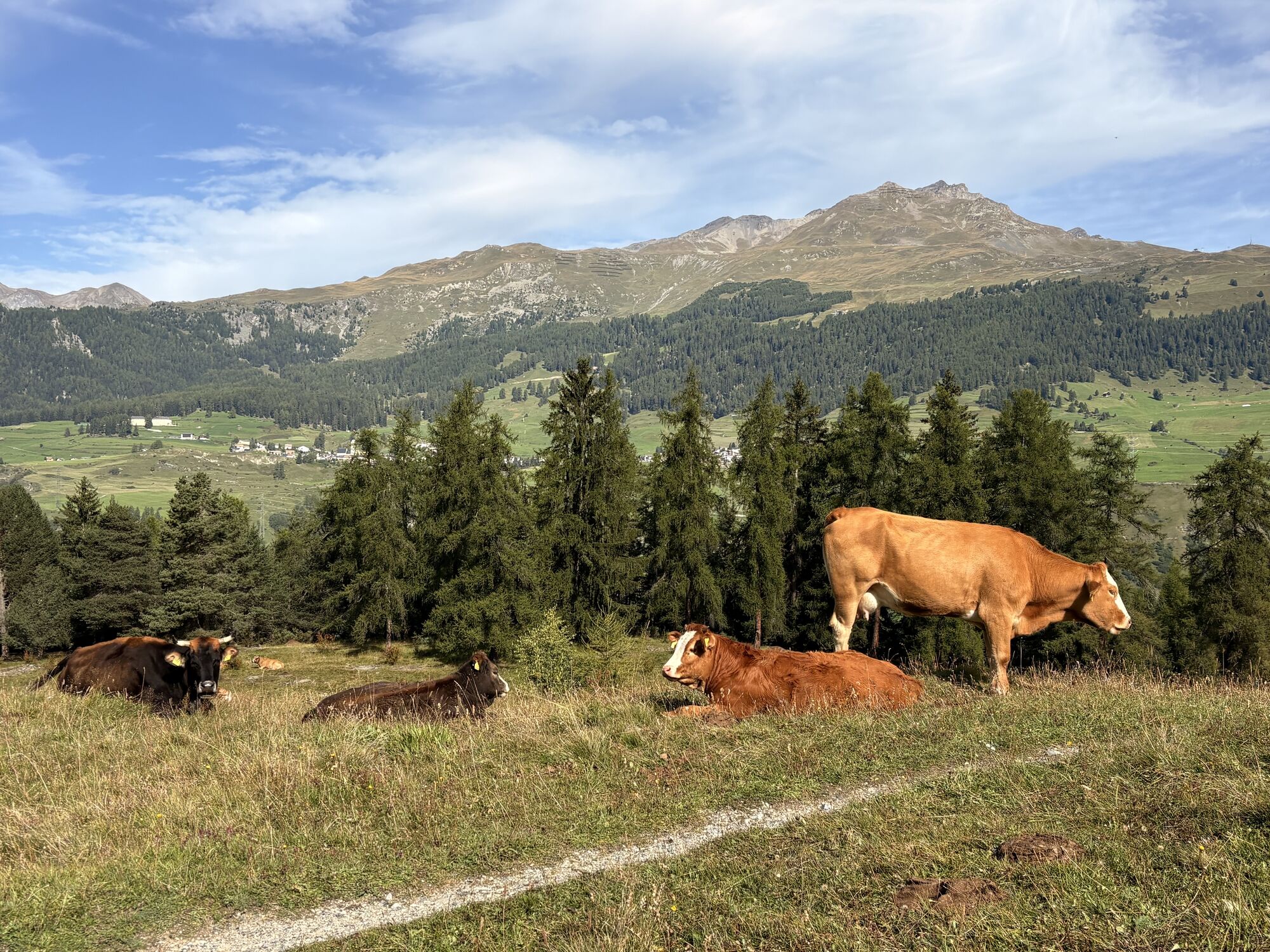
Certainly one of the most beautiful and easiest hikes in the Lower Engadine. Tarasp Castle, landmark of the Lower Engadine; picturesque alleys with authentic Engadine houses and the magnificent mountain panorama at the small mountain lake Lai Nair.


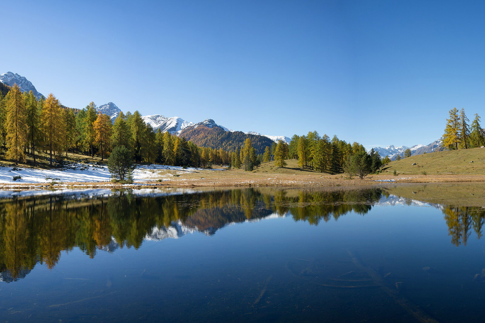
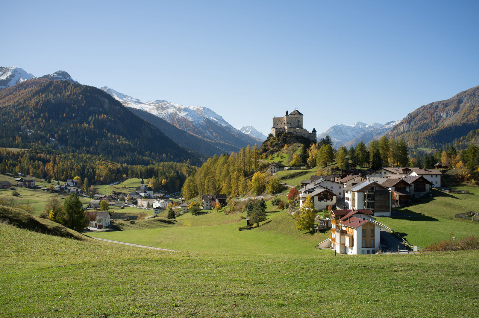
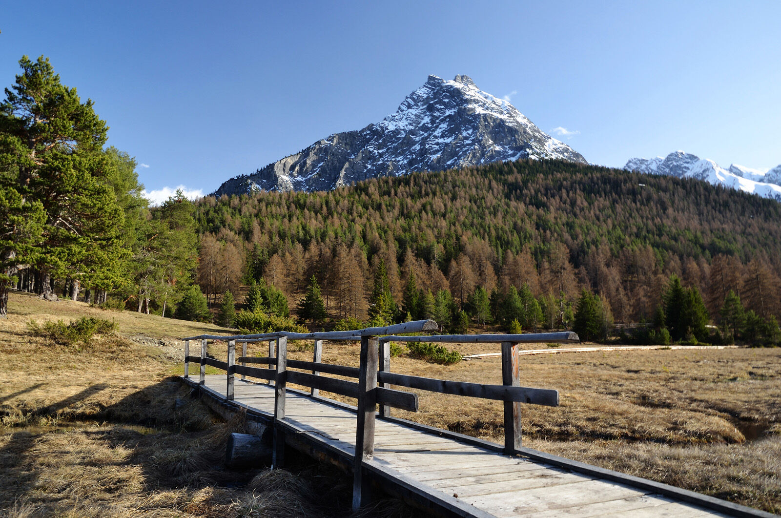

From the PostAuto stop at «Tarasp, Fontana», walk a short distance up the road to Tarasp, Sparsels. At the edge of the village near the parking lot, turn right uphill to Kreuzberg with a wonderful view. From there, go down the other side onto a nearly traffic-free path. Follow this path uphill for a few hundred meters. At the fork, follow the sign to Lai Nair, which is reached after a few bends. Near the mountain lake, go up onto a hiking trail. This trail runs above the castle and leads back down to Tarasp, Fontana.
Da
Light hiking shoes, sun protection
The route was rated under favorable weather conditions; the current weather and forecasts must be observed before starting the route.
Emergency numbers:
144 emergency call, first aid
1414 mountain rescue REGA
112 international emergency call
From the north: via Landquart – Klosters by car shuttle through the Vereina tunnel (Selfranga - Sagliains) or via the Flüela pass to the Lower Engadine on H27
From the east: via Landeck / Austria towards St. Moritz on H27
From the south: via Reschen pass (Nauders-Martina) or Ofen pass (Val Müstair-Zernez) on H27
Take the exit Tarasp Vulpera from the Engadine road (H27)
By the Rhaetian Railway (from Chur, Landquart/Prättigau, or from the Upper Engadine) hourly to Scuol-Tarasp station
By PostAuto (from Martina, Sent, Ftan, or Tarasp) hourly to Scuol-Tarasp station
Continue by PostAuto to the PostAuto stop Tarasp, Fontana
Free parking spaces available

Spletne kamere s turneje
Pridobite vpogled
Vedno v živo na mestu z več kot 9.500 spletnimi kamerami. bergfex Kot uporabnik Pro si lahko zdaj ogledate ustrezne spletne kamere za številne izlete v aplikaciji izleti iz. Tako si lahko neposredno ogledate trenutne razmere.

Priljubljeni izleti v okolici
-
4.3
National Park: Margunet
svetlobaPohodništvo 7.76 km -
4.8
National park: Zernez – Munt Baselgia – Macun lakes – Alp Zeznina – Lavin
težkoPohodništvo 22.9 km -
4.5
Rundwanderweg Wattles und Sesvenna
svetlobaPohodništvo 16.4 km -
4.8
National Park: Grimmels (circular hike)
svetlobaPohodništvo 6 km -
5.0
3 Länder Tour Uinaschlucht MTB
težkoMountainbike 74.6 km -
4.7
Bergwanderung Schlinig -Seswenahütte
srednjaPohodništvo 13.6 km -
5.0
San Jon – Chamonna Lischana (return)
srednjaPohodništvo 12.0 km -
4.2
Süsom Givè - Chaschlot - Valbella - Süsom Givè
srednjaPohodništvo 9.73 km -
4.0
Prui – Piz Clünas – Alp Laret – Ftan
srednjaPohodništvo 13.6 km -
Sesvennahütte
srednjaPohodništvo 5.01 km
Pohodništvo in sledenje


Ne zamudite ponudb in navdiha za naslednje počitnice
Vaš e-poštni naslov je bil dodan na poštni seznam.





