


National Park: Murtaröl
This versatile circular hike requires some sweat and is relatively rarely undertaken. This, however, is unjustified: it offers beautiful views into Val Cluozza, towards Upper Engadin, and to the king of...
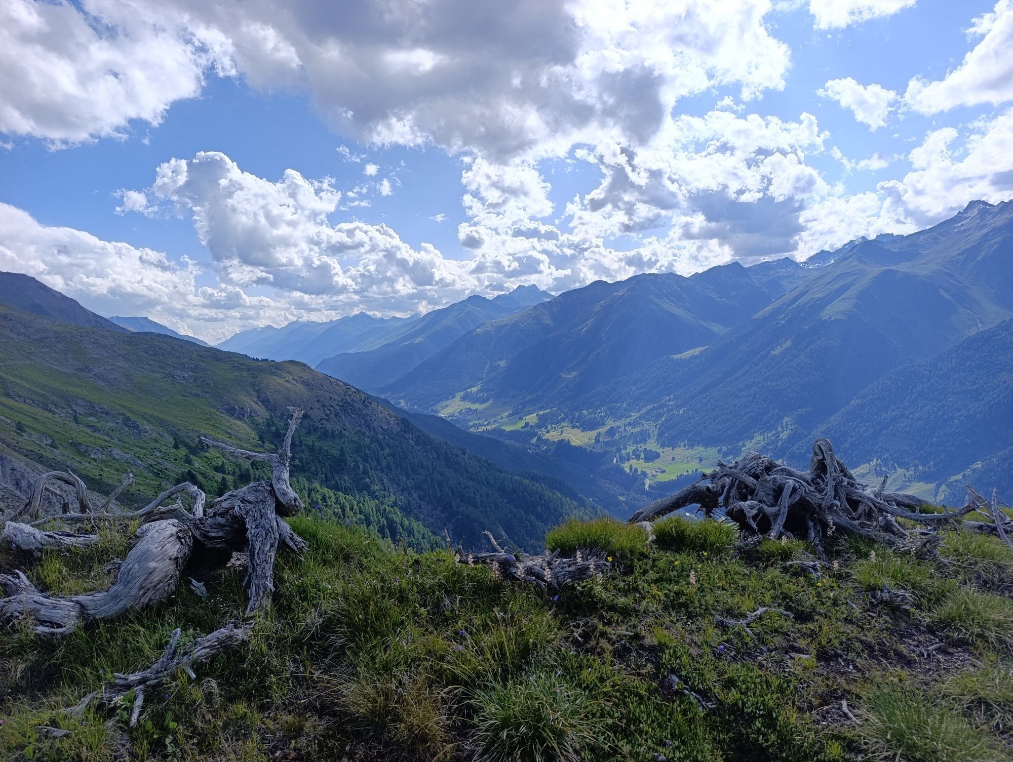
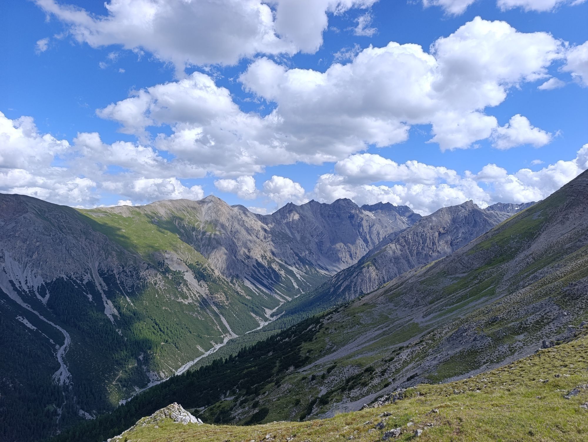
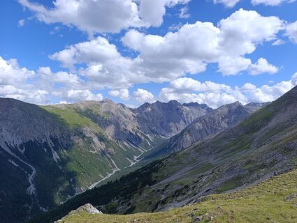
This versatile circular hike requires some sweat and is relatively rarely undertaken. This, however, is unjustified: it offers beautiful views into Val Cluozza, towards Upper Engadin, and to the king of Lower Engadin, the dominant 3410 m high Piz Linard. With some luck, sightings of ptarmigans are possible, and chamois are omnipresent along the route. In addition, old, stone avalanche barriers can be discovered en route, which also makes the hike culturally and historically interesting.
Note: Bringing dogs is not permitted in the Swiss National Park, not even on a leash. Further information and all protection regulations can be found at nationalpark.ch/schutzbestimmungen.

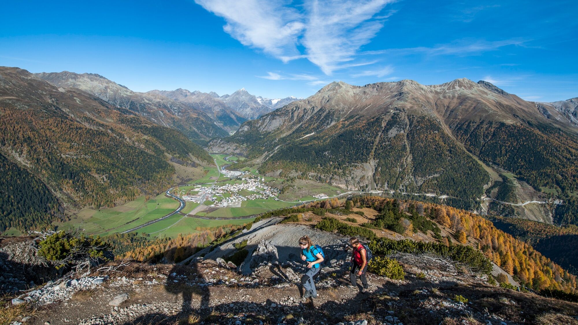
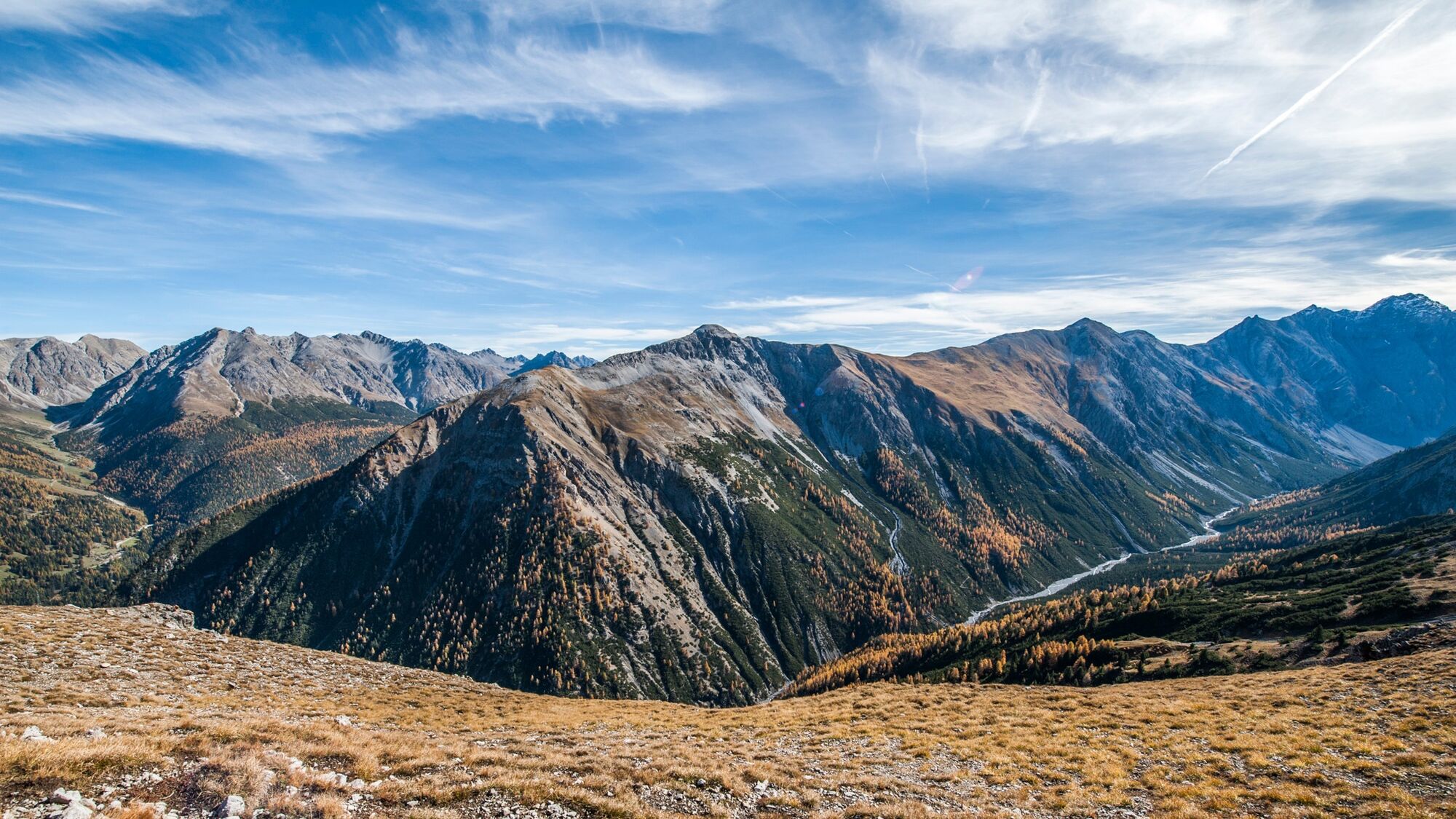
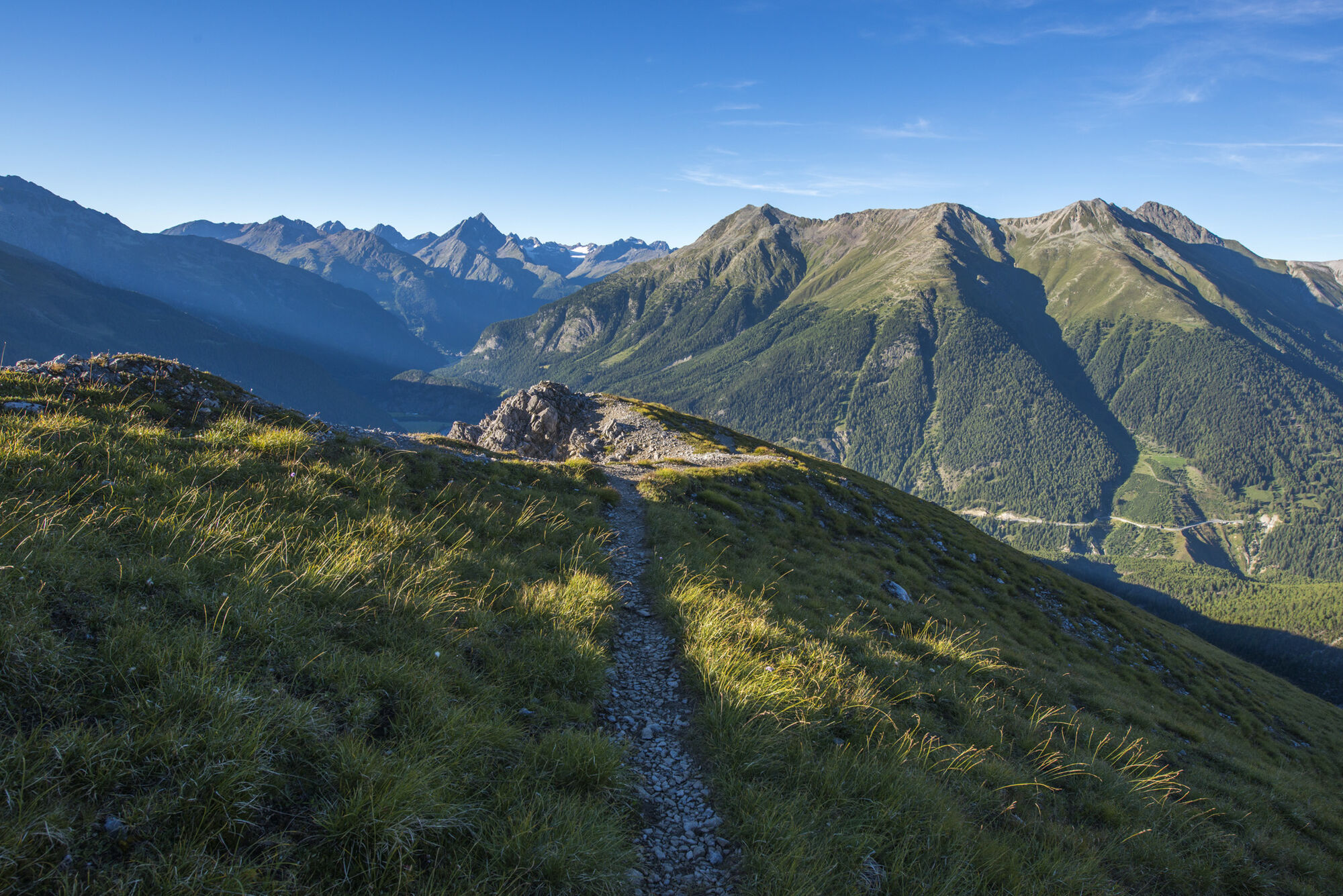
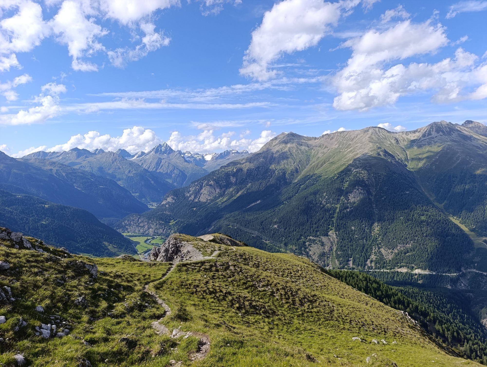
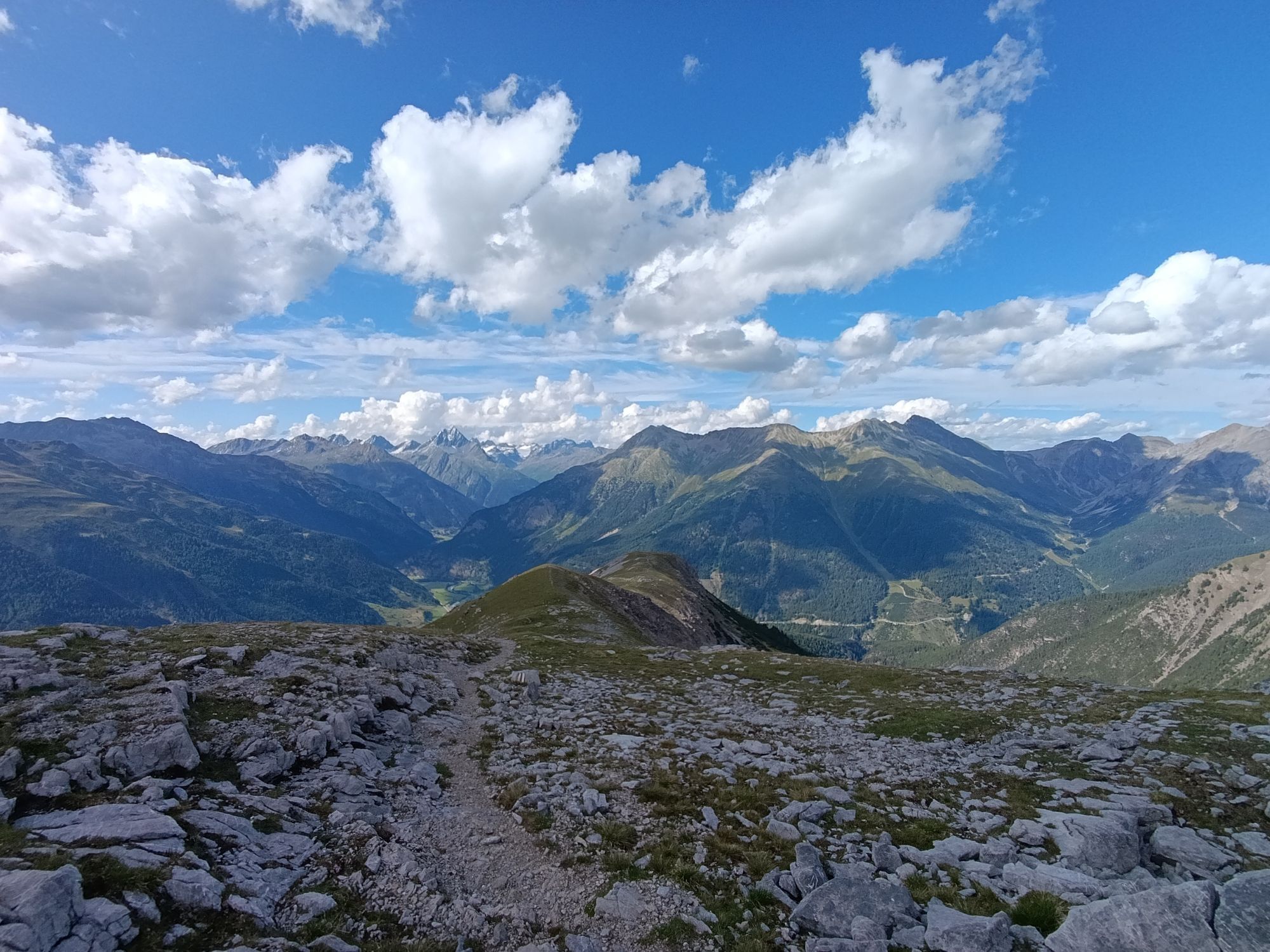
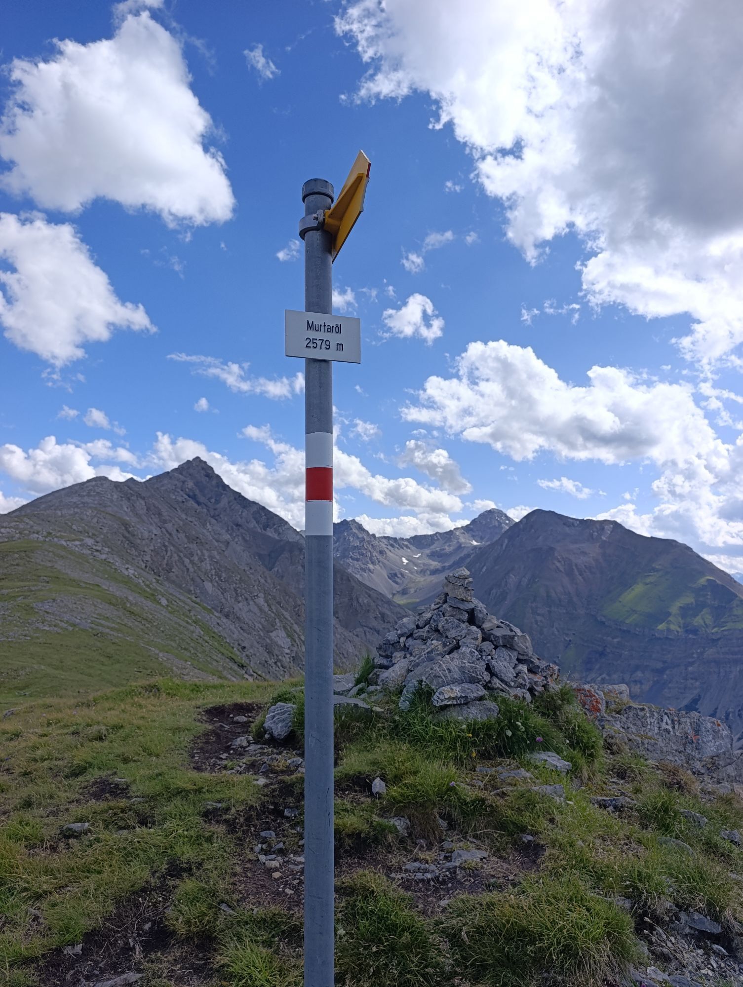
From Zernez train station (1474 m above sea level) through the village eastwards towards Ofenpass and over the covered wooden bridge crossing the Spöl. From here, two options: The western path leads after a stretch of asphalt road onto a country path towards the forest, turning sharply east and then gradually ascending. The eastern path follows a cart track through meadows into a larch forest, climbs steeply, and finally meets the aforementioned country path. From here, continue east to the Sarasinstein located at the edge of the Cluozza Gorge, dedicated to one of the founding figures of the Swiss National Park. The path zigzags uphill to Il Pra and further to the Bellavista hut (2039 m above sea level). Through the forest edge and alpine pastures, where tame chamois are often spotted, ascend further, passing 44 dry stone walls from the 19th century, which were built here as avalanche barriers. Where the path then turns southeast, the view opens towards the Val Tantermozza. Upon reaching the mountain ridge Murtaröl (2579 m above sea level), a magnificent panoramic view awaits of the Engadin, Val Tantermozza, Val Cluozza and the opposite Murtersattel (see route "Murter"). The path ends at the cairn. For the return, descend directly north from here past bizarre rock formations back to Il Pra. From here, return the same way as the ascent. From Il Pra there is also the option to hike into the Val Cluozza (see route "Chamanna Cluozza").
Hiking shoes or mountain boots, warm clothing, sun and rain protection, hiking poles if needed, binoculars recommended.
Mountain hike (white-red-white). Descent long and partially steep.
Emergency numbers:
144 Emergency, First Aid
1414 Mountain Rescue REGA
112 International Emergency
Zernez is located directly on the Engadin road H27.
By the Rhaetian Railway (from Chur, Prättigau, Upper and Lower Engadin) hourly to Zernez
Free parking at the train station, in the village as well as at the Swiss National Park visitor center in Zernez.
As an ascent alternative, the path through the forest slope "Las Valainas" starting from Zernez is also suitable.
Spletne kamere s turneje

Priljubljeni izleti v okolici
-
4.9
Jöriseen
srednjaPohodništvo 11.3 km -
4.8
Circular hike Val Trupchun in the Swiss National Park
srednjaPohodništvo 13.8 km -
Flüelapass – Schwarzhorn (return)
srednjaPohodništvo 7.92 km -
4.0
National Park: Margunet
svetlobaPohodništvo 7.76 km -
4.8
National Park: Grimmels (circular hike)
svetlobaPohodništvo 6 km -
5.0
Fluela Schwarzhorn 3147 m
svetlobaVisokogorska tura 7.34 km -
National Park: Chamanna Cluozza
srednjaPohodništvo 8.37 km -
5.0
National Park: Spöl Valley
svetlobaPohodništvo 7.67 km -
5.0
Guarda – Lai Blau – Chamonna Tuoi
srednjaPohodništvo 11.0 km -
National Park: Murtersattel
srednjaPohodništvo 7.66 km

Pohodništvo in sledenje


Ne zamudite ponudb in navdiha za naslednje počitnice
Vaš e-poštni naslov je bil dodan na poštni seznam.