via Flöna to Ftan
srednja
Pohodništvo
Navigacija po spletni strani
Pridobite to turo v svoj mobilni telefon
Zemljevid
via Flöna to Ftan
srednja
Pohodništvo
6.47 km
Skenirajte kodo QR in začnite navigacijo v aplikaciji bergfex.
QR Code
Pohodništvo in sledenje

via Flöna to Ftan

Razdalja
6.47 km
Trajanje
02:15 h
Ascent
426 hm
Morska gladina
1,282 - 1,701 m
Prenos skladbe
Zemljevid
via Flöna to Ftan
srednja
Pohodništvo
6.47 km

The hike starts at Scuol-Tarasp station. The path first leads to the valley station of the gondola, where the first signpost towards Flöna stands. Pass the valley station on the right on a small path to...


Opis
The hike starts at Scuol-Tarasp station. The path first leads to the valley station of the gondola, where the first signpost towards Flöna stands. Pass the valley station on the right on a small path to the newer part of Scuol. Here you will find the next signpost towards Flöna. Follow the path to the last houses, then continue on a natural road to Flöna. The walk passes a stable and the winding road uphill. After the first bends, the road steeply ascends and leads into the forest. From here, follow the signposts towards Ftan. The road passes under the Motta Naluns gondola and continues uphill until it exits the forest. Here the highest point of the route is reached. The view compensates for the steep climb. The natural road then descends slightly. Soon the village of Ftan comes into sight. The PostBus stop Ftan, cumün is located in the middle of the village next to the guest information and the post office.


Pot
Scuol
(1,250 m)
Vas
1.0 km
Mot Morel
(1,697 m)
Koridor/teren
4.3 km
Ftan
(1,648 m)
Vas
6.2 km
Pot
Zemljevid
via Flöna to Ftan
srednja
Pohodništvo
6.47 km
Scuol
(1,250 m)
Vas
1.0 km
Mot Morel
(1,697 m)
Koridor/teren
4.3 km
Ftan
(1,648 m)
Vas
6.2 km
Informacije o turneji

Beautiful hike with views over Scuol and Tarasp. The hike can be done in both directions. From December 20 to April 20, entering the wildlife quiet zone is prohibited!

Tehnologija
n.a.
Stanje
3 / 6
Pokrajina
4 / 6
Izkušnje
3 / 6
Najboljši letni čas
Jan
Feb
Mar
Apr
Maj
Jun
Jul
Avg
Sep
Okt
Nov
Dec
Skupna turneja
Zemljevid
via Flöna to Ftan
srednja
Pohodništvo
6.47 km
Napaka
Zgodila se je napaka. Prosimo, poskusite znova.
Informacije o poti
Pot
Scuol-Tarasp station
Valley station of the Motta Naluns gondola
Follow the signpost to Flöna
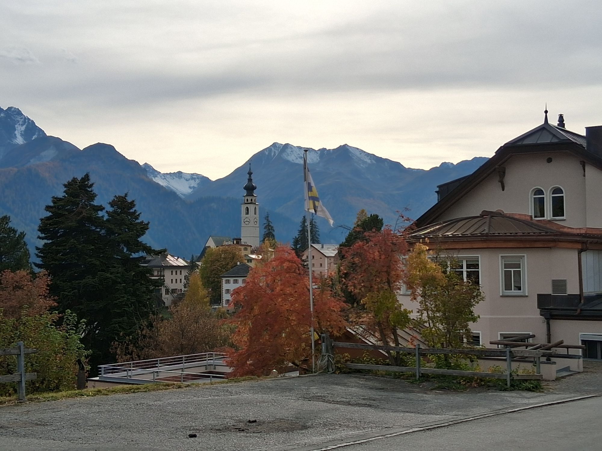
First section through Scuol
At the end of the village, follow the signposts to Flöna
After passing through the wooded section, follow the signposts to Ftan
Oprema

Good footwear, rain and sun protection, water bottle, first aid kit.

Varnostna navodila
The route was rated under favorable weather conditions; the current weather conditions and forecasts must be strictly observed before starting the route.

Emergency numbers:
144 emergency call, first aid
1414 REGA mountain rescue
112 international emergency call

Informacije o prihodu
Prihod

From the north: via Landquart – Klosters by car shuttle through the Vereina tunnel (Selfranga - Sagliains) or over the Flüela Pass to Scuol. The summer village S-charl is reachable from Scuol in about 25 minutes.

From the east: via Landeck / Austria in the direction of Scuol and then also turn into the side valley Val S-charl.

From the south: via Reschen Pass (Nauders-Martina) through the Lower Engadin to Scuol.
Javni prevoz

With the Rhaetian Railway (from Chur, Landquart/Prättigau or from the Upper Engadin) hourly to Scuol-Tarasp station

With the PostBus (from Martina, Sent, Ftan or Tarasp) hourly to Scuol-Tarasp station

Parkirišče

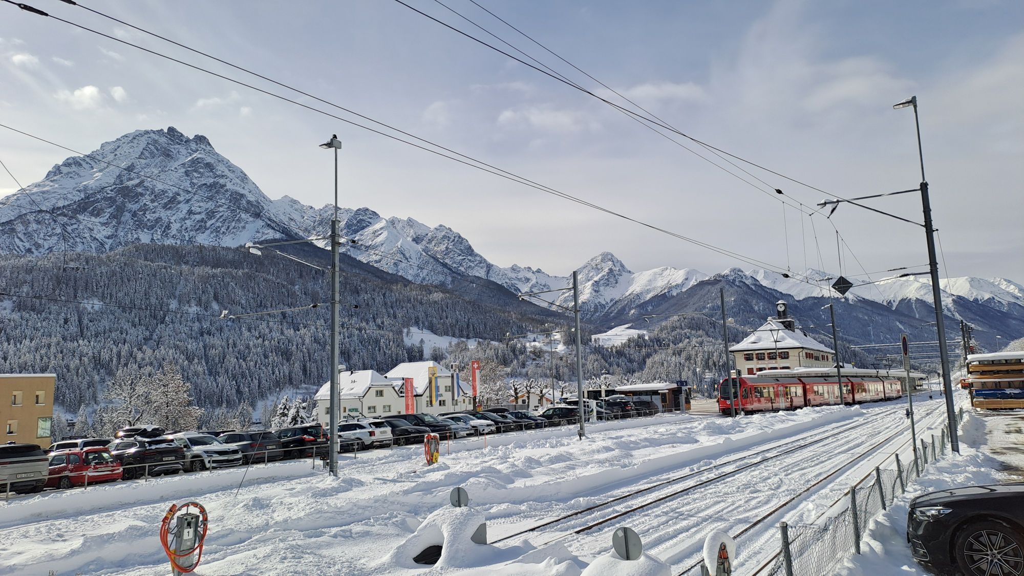
Paid parking spaces at Scuol-Tarasp station
Paid parking spaces next to the guest information and post office in Ftan

Še ni pregledov
Napišite pregled

Mnenja pomagajo drugim uporabnikom pri izbiri naslednje pustolovščine. Ocenite samo izlet, ne pa tudi vremena ali prigrizka.

Izberite eno od zvezdic, da ocenite ogled
Slaba turneja
Šibka turneja
Povprečna turneja
Dobra tura
Odlična tura
bergfex logo Pridobite vpogled Vedno v živo na mestu z več kot 9.500 spletnimi kamerami. bergfex Kot uporabnik Pro si lahko zdaj ogledate ustrezne spletne kamere za številne izlete v aplikaciji izleti iz. Tako si lahko neposredno ogledate trenutne razmere.
Pohodništvo in sledenje

Pohodništvo in sledenje

Pohodništvo in sledenje
Zaradi več kot 550.000 predlogov izletov, podrobnih zemljevidov in intuitivnega načrtovanja poti je aplikacija obvezna oprema za vse ljubitelje narave.
Pohodništvo in sledenje
bergfex bergfex