


National Park: Mot Tavrü
Stopnja težavnosti: T2
Fotografije naših uporabnikov
During the hike to Mot Tavrü, the differences between the landscape inside and outside the National Park boundary can be observed particularly well. Through Val Tavrü, via the traditionally managed Alp...
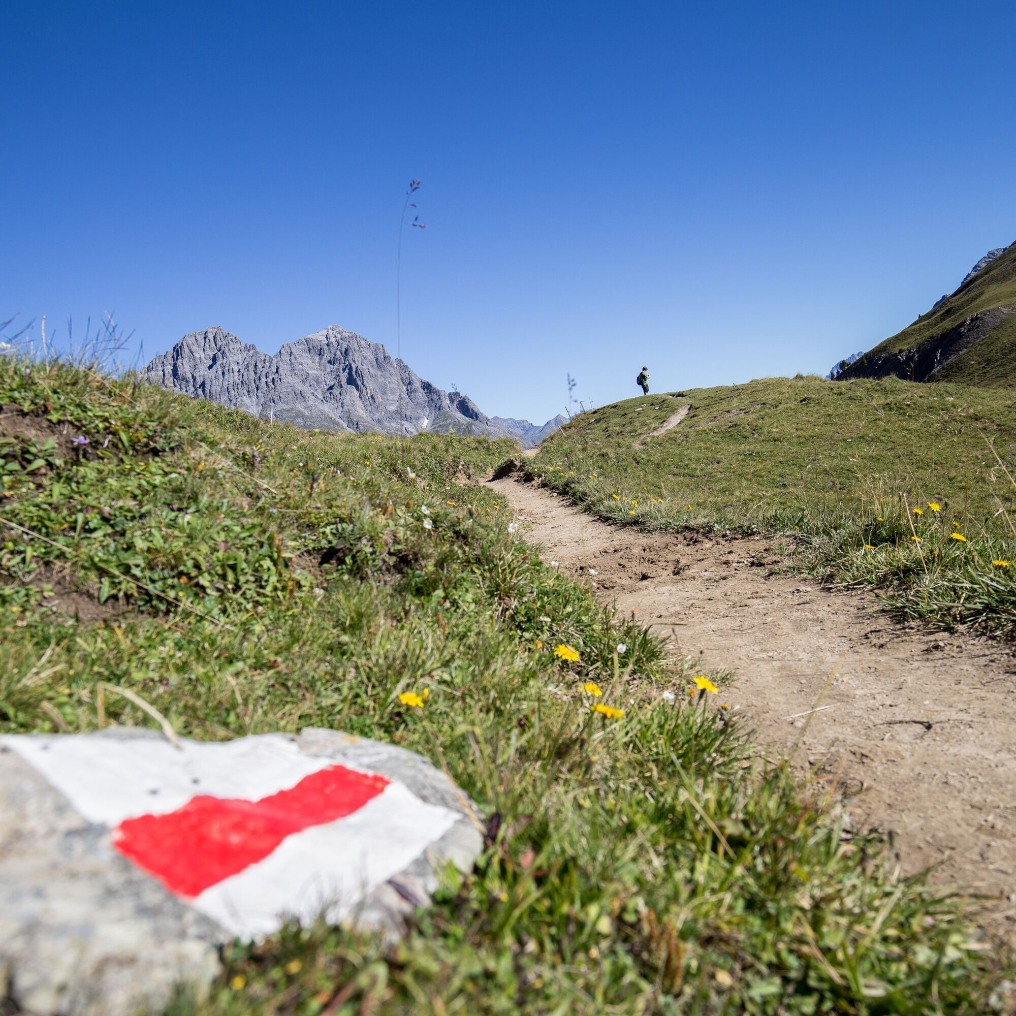
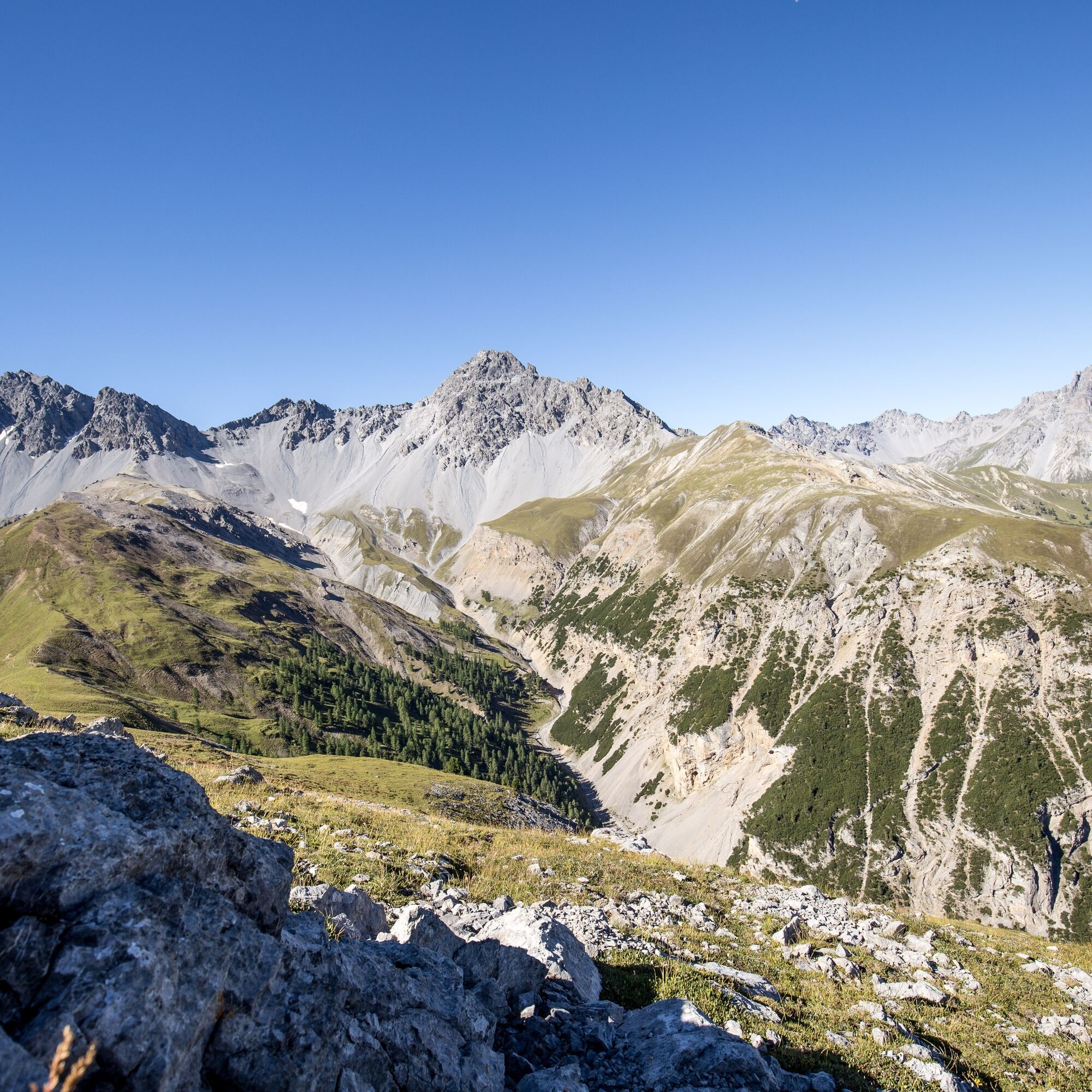
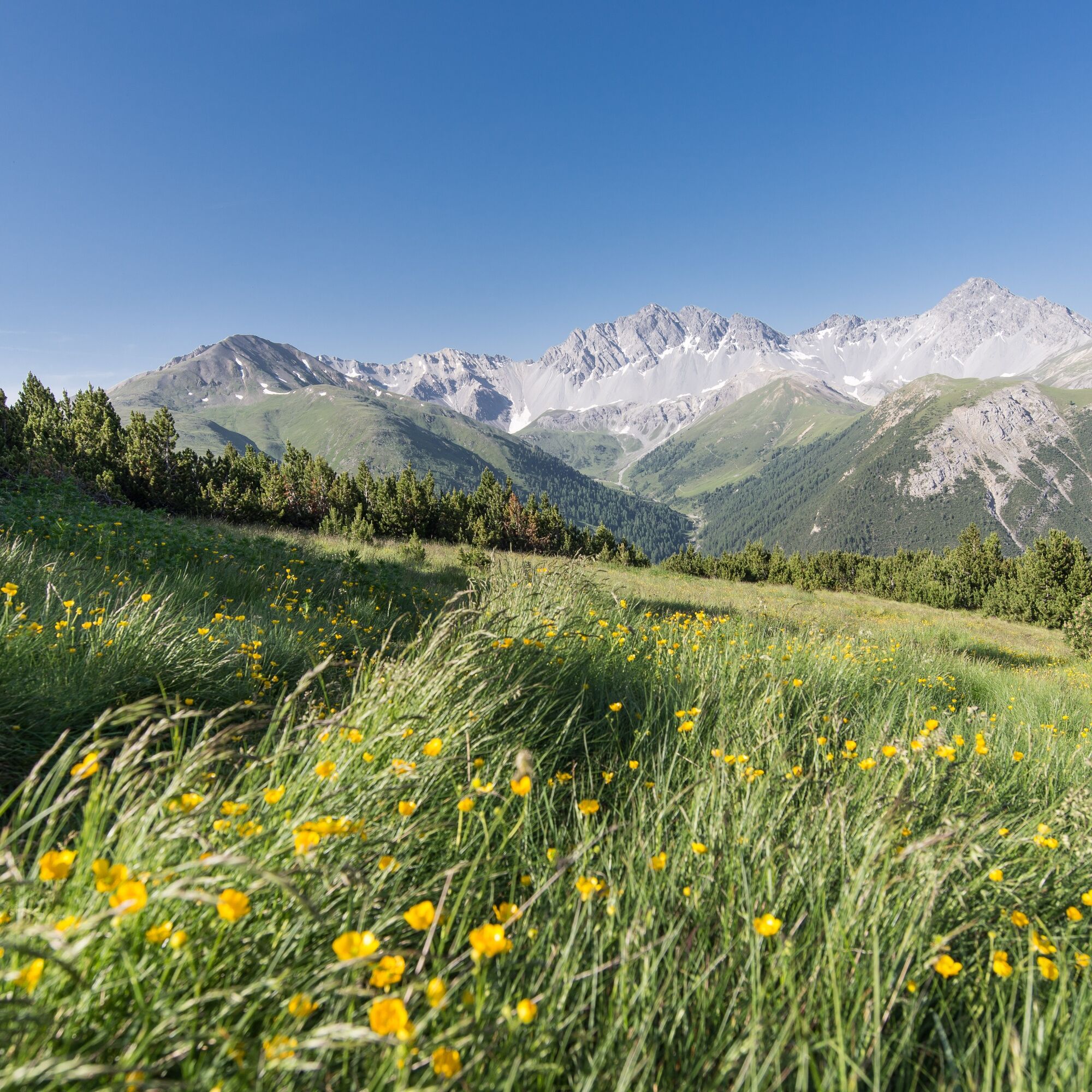
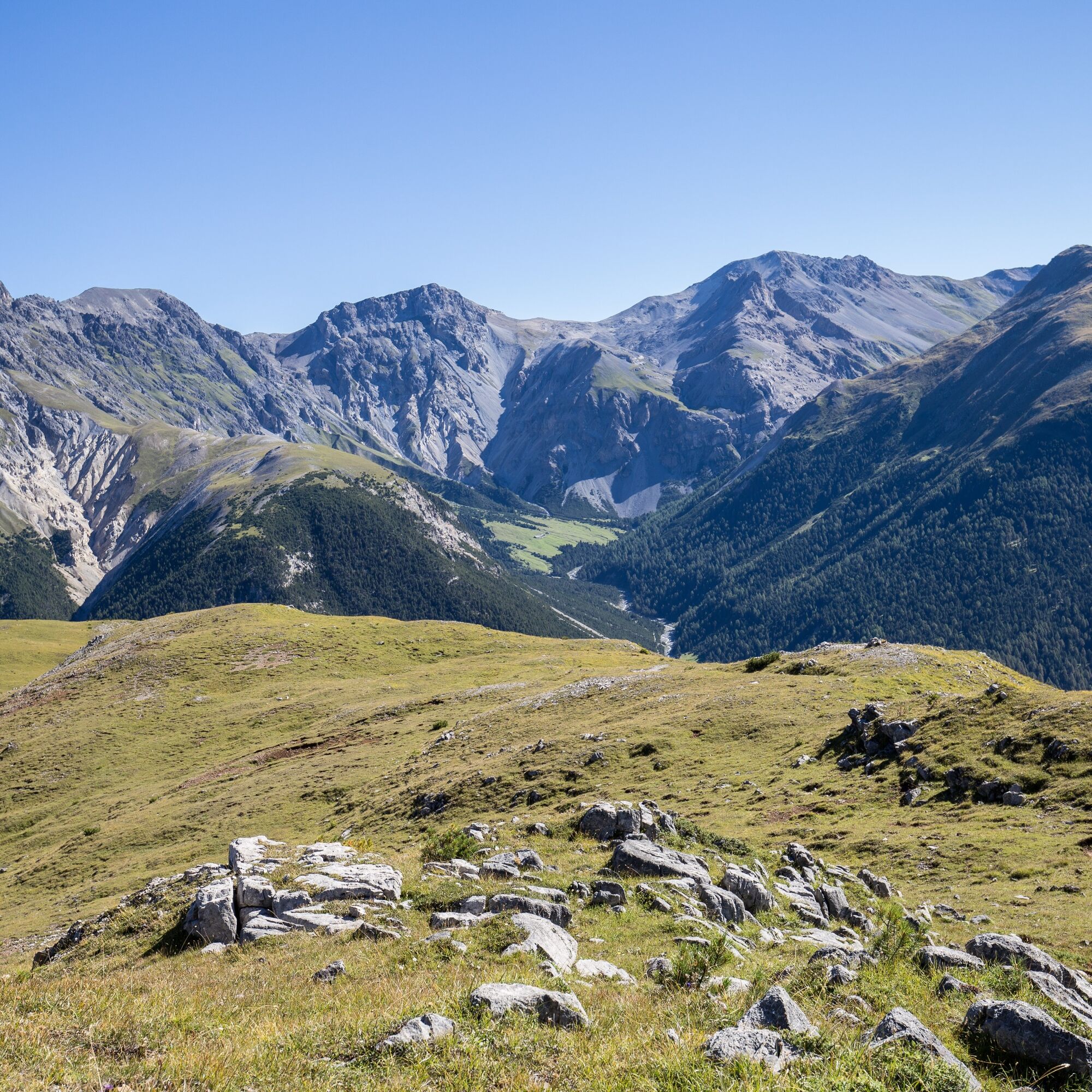
During the hike to Mot Tavrü, the differences between the landscape inside and outside the National Park boundary can be observed particularly well. Through Val Tavrü, via the traditionally managed Alp Tavrü, the path leads up to the summit at the National Park border. This offers an impressive view into the wild, inaccessible Val Foraz, where with some luck a pair of bearded vultures and countless red deer can be seen.
Note: Bringing dogs is not allowed in the Swiss National Park, not even on a leash. Further information and all protection regulations can be found at nationalpark.ch/schutzbestimmungen.

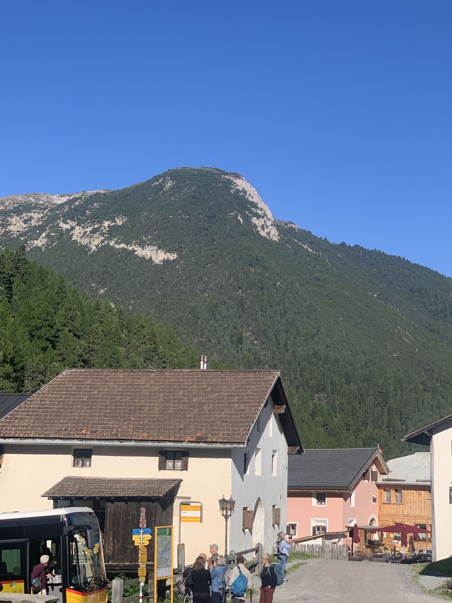
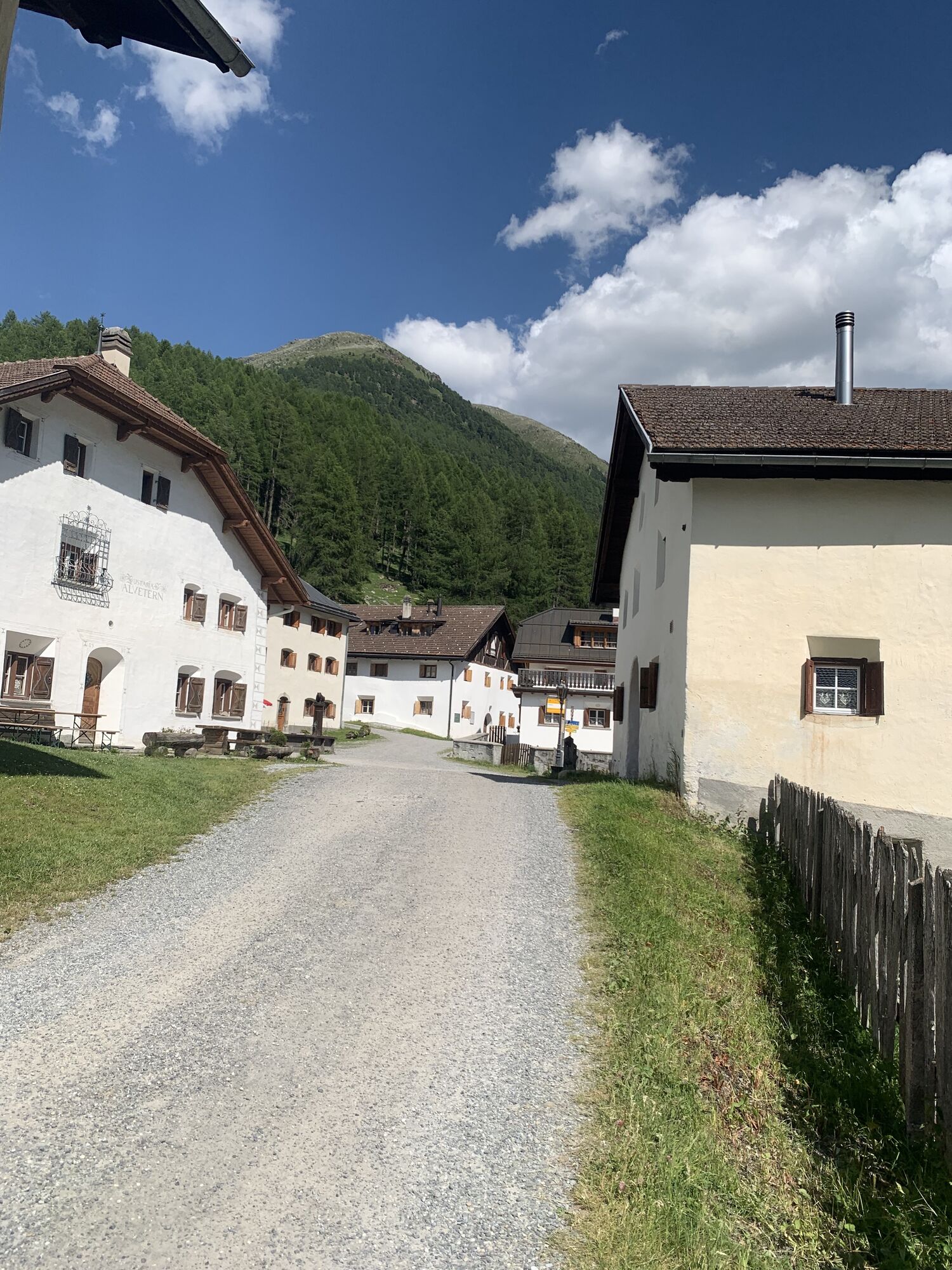
The hike starts at the PostAuto stop S-charl (1790 m above sea level) or at the paid parking lot located in front of the village. Right at the beginning, it passes the Museum Schmelzra, where, in addition to the ruins of former mining buildings, the mining and bear museum is located, which is worth visiting before or after the hike.
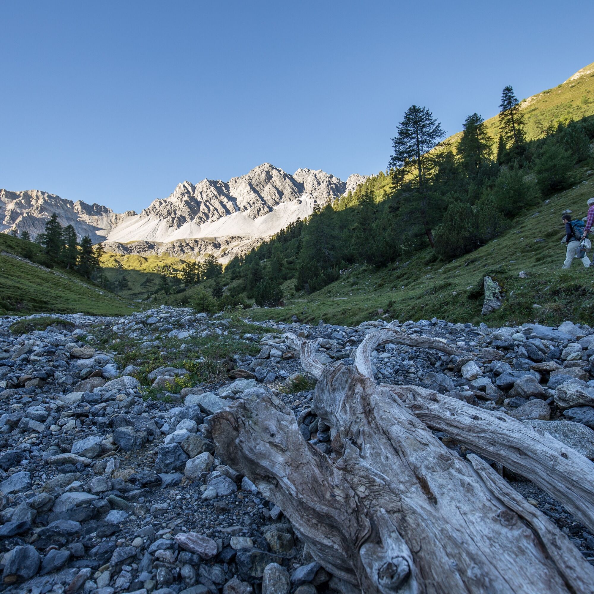
At the height of Schmelzra, the path crosses the valley river Clemgia and leads over the delta of the stream from Val Tavrü. Through a larch and stone pine forest, the trail goes up to Alp Tavrü. Quite steeply ascending, the marked path reaches the rest area Mot Tavrü (2315 m above sea level) after the alp. From here, red deer herds can be observed in Val Foraz and at Mot Foraz. It is therefore advisable to bring binoculars on this route.
After the rest area, the path continues for another ten minutes to the summit of Mot Tavrü (2420 m above sea level) and then returns to the starting point S-charl via the same route as the ascent.
Da
Da
Hiking boots, warm clothing, sun and rain protection, binoculars recommended.
The route was evaluated under favorable weather conditions; current weather conditions and forecasts must be strictly observed before starting the route.
Emergency numbers:
144 Emergency call, first aid
1414 Mountain rescue REGA
112 International emergency call
From the north: via Landquart – Klosters by car train through the Vereina Tunnel (Selfranga - Sagliains) or via the Flüela Pass to Scuol. The summer village S-charl can be reached from Scuol in about 25 minutes.
From the east: via Landeck / Austria towards Scuol and then also turn into the side valley Val S-charl.
Due to partly narrow road conditions, we recommend traveling from Scuol to S-charl by PostAuto
By the Rhaetian Railway (from Chur, Landquart/Prättigau or from Upper Engadin) hourly to Scuol-Tarasp station
By PostAuto (from Martina, Sent, Ftan or Tarasp) hourly to Scuol-Tarasp station
Continue by PostAuto with hourly connection to the PostAuto stop S-charl
Paid parking lots at the entrance to S-charl
T2
A visit to the Museum Schmelzra with the bear exhibition is highly recommended. The experience-oriented exhibition provides insight into the past, the way of life, the biology, and the return of the brown bears. It is especially suitable for children.
http://www.nationalpark.ch/de/besuchen/museum-schmelzra/baerenausstellung/
On the bear experience trail located immediately next to it, nine interactive stations amaze both young and old guests and provide practical tips for behavior in a bear area.
http://www.nationalpark.ch/de/besuchen/erlebniswege/baerenerlebnisweg/
Priljubljeni izleti v okolici
- 5.0
Mountain restaurant Plantaptasch (without Lift)
srednjaPohodništvo 3.42 km - 4.5
Rundwanderweg Wattles und Sesvenna
svetlobaPohodništvo 16.4 km - 4.0
National Park: Margunet
svetlobaPohodništvo 7.76 km National Park: Murtersattel
srednjaPohodništvo 7.66 km- 4.5
Tarasp Fontana – Sparsels – Lai Nair (circular route)
svetlobaPohodništvo 7.67 km - 4.8
National Park: Grimmels (circular hike)
svetlobaPohodništvo 6 km - 4.0
Prui – Piz Clünas – Alp Laret – Ftan
srednjaPohodništvo 13.6 km - 4.0
Schellen-Ursli-Trail
srednjaTematska pot 3.53 km - 5.0
Munt la Schera - Nationalpark
srednjaPohodništvo 13.1 km - 5.0
San Jon – Chamonna Lischana (return)
srednjaPohodništvo 12.0 km

Pohodništvo in sledenje


Ne zamudite ponudb in navdiha za naslednje počitnice
Vaš e-poštni naslov je bil dodan na poštni seznam.