


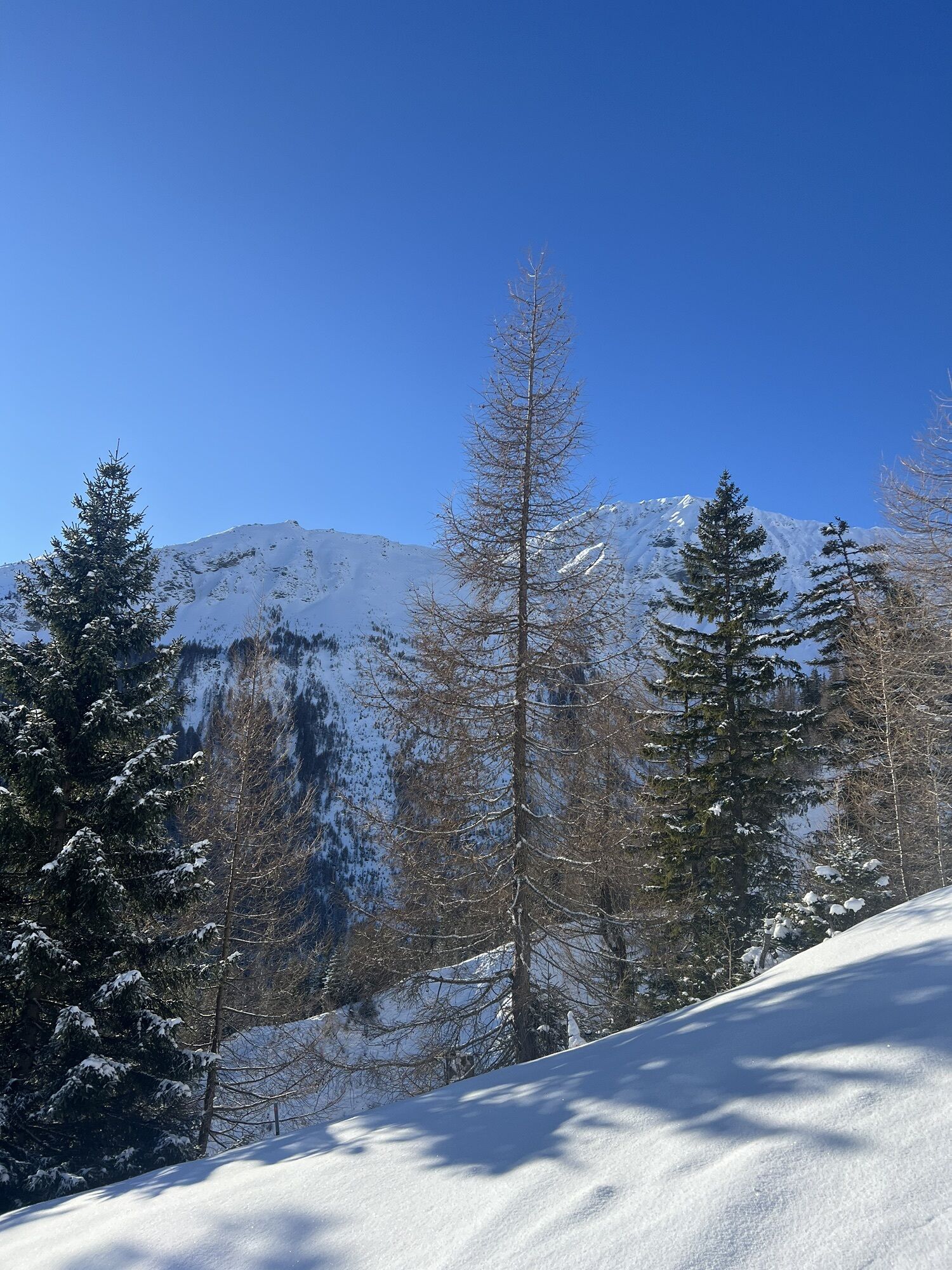
Churwalden - Windegga - Fuulberg - Stätzerhorn
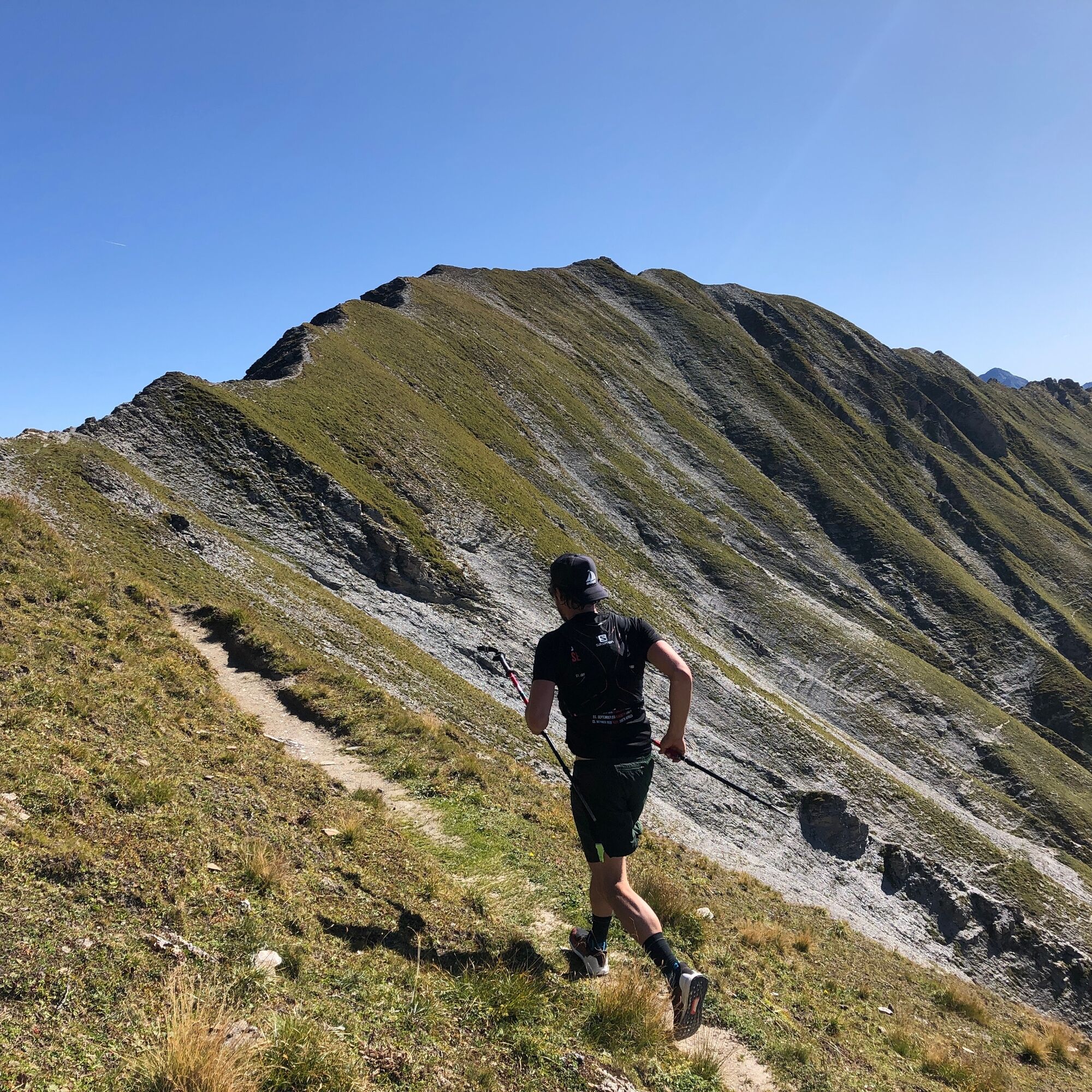
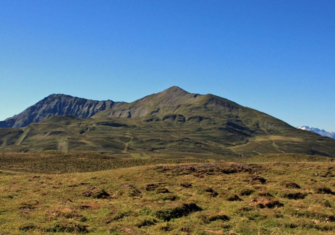
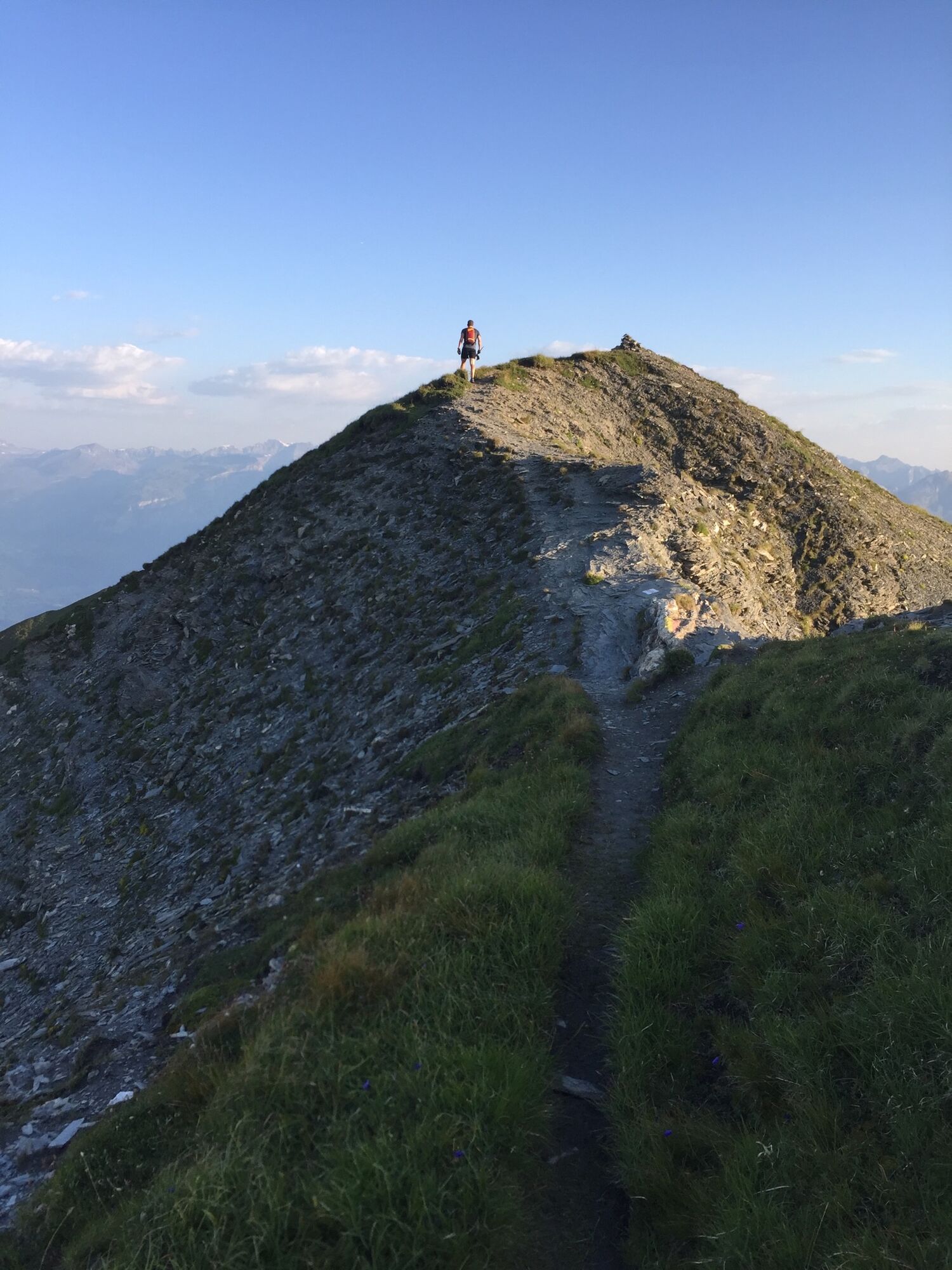
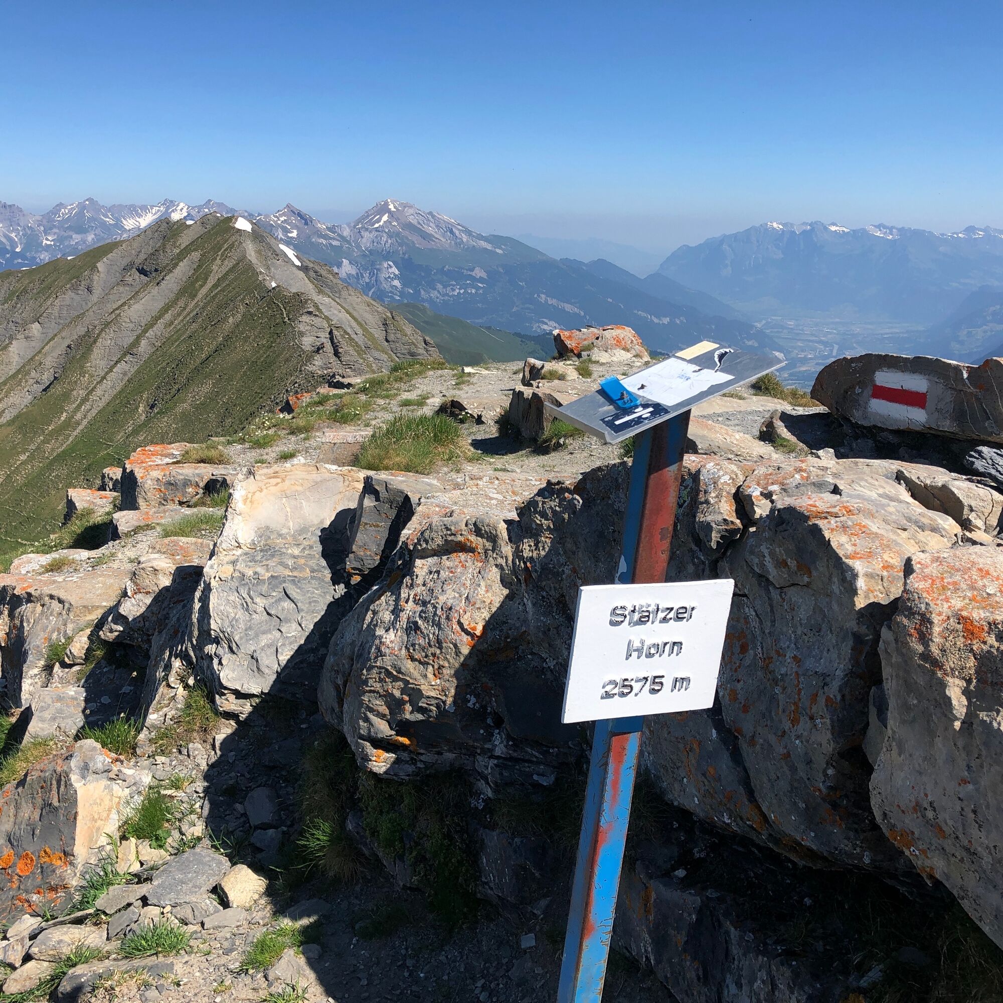
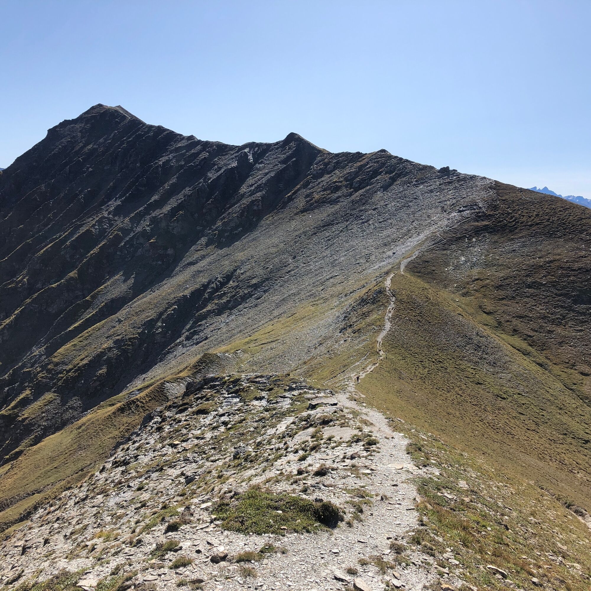
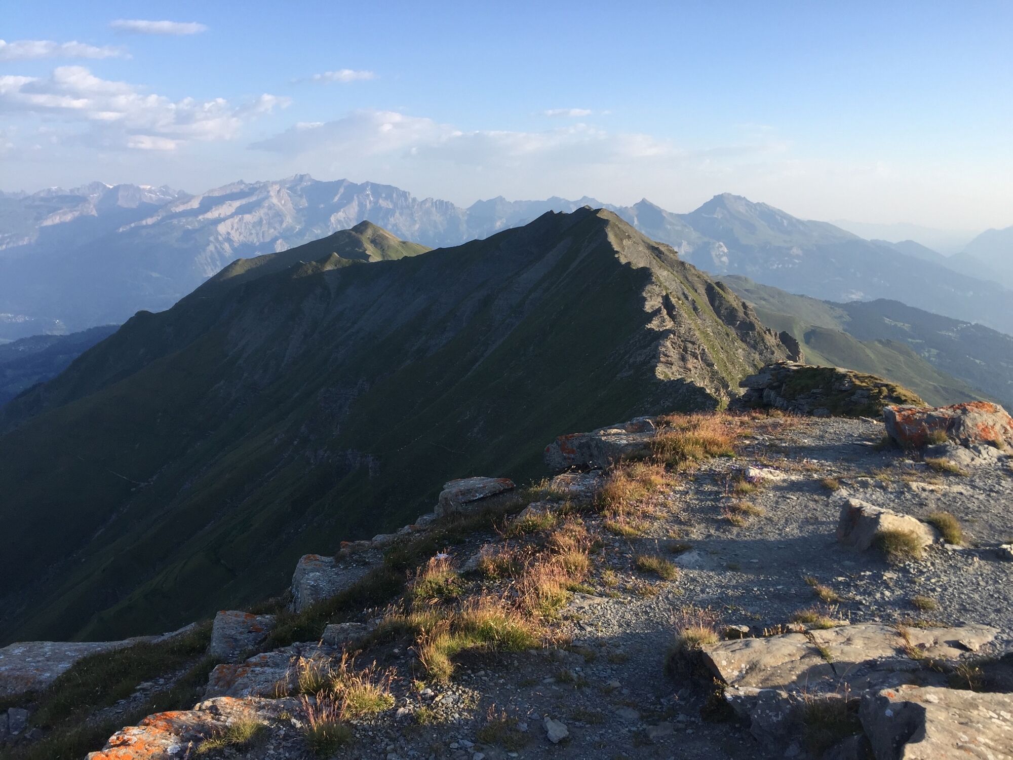
The trail leads from Churwalden to Pradaschier and up to Windegga. Between Fuulberg and Stätzerhorn the trail runs over a beautiful ridge. Being sure-footed is thus a clear requirement here. The panorama...
The trail leads from Churwalden to Pradaschier and up to Windegga. Between Fuulberg and Stätzerhorn the trail runs over a beautiful ridge. Being sure-footed is thus a clear requirement here. The panorama from both Fuulberg and Stätzerhorn is breathtaking. The highest point is reached on the Stätzerhorn. From there it goes down to the Bergstation Heidbüel and back to Churwalden by the Panoramabahn.
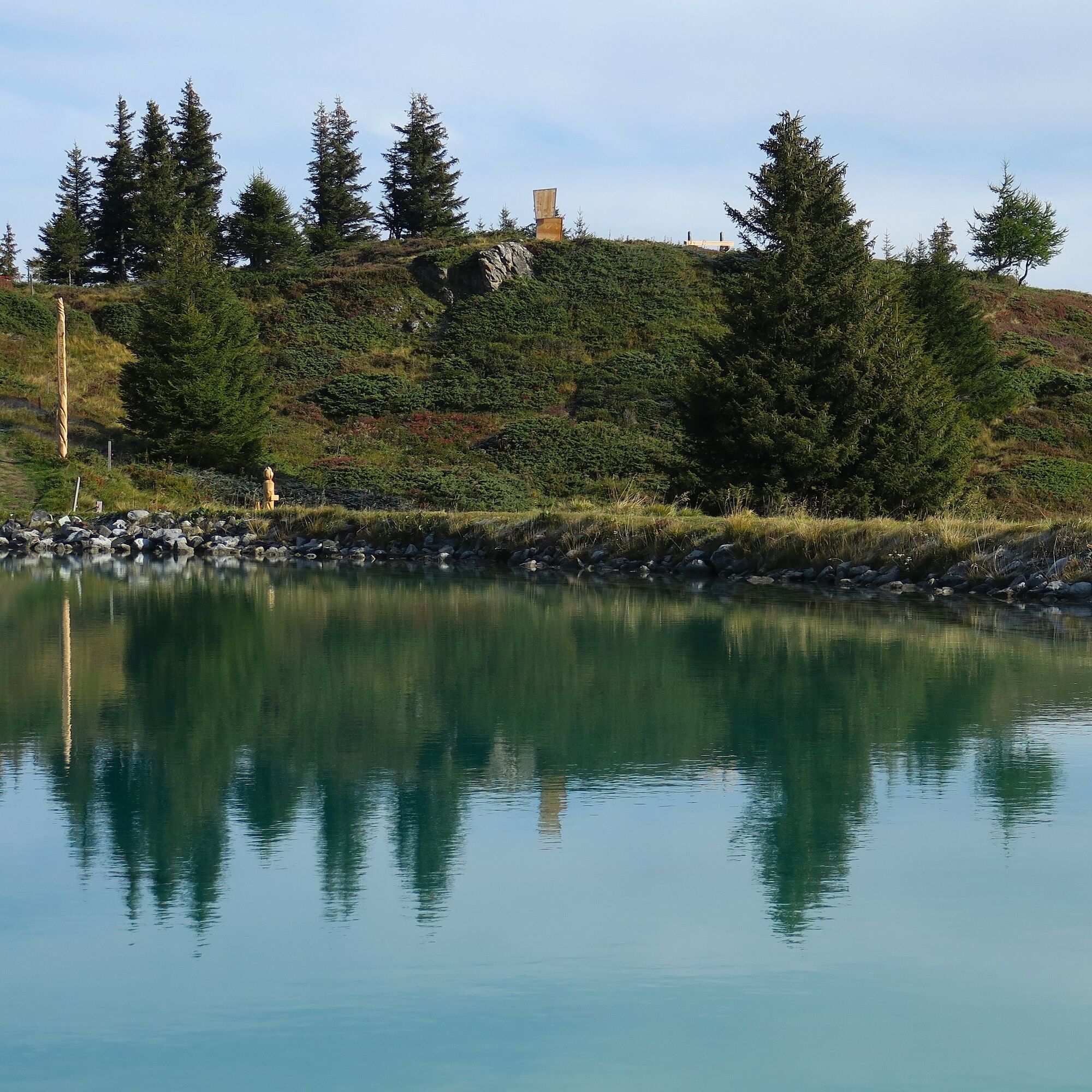
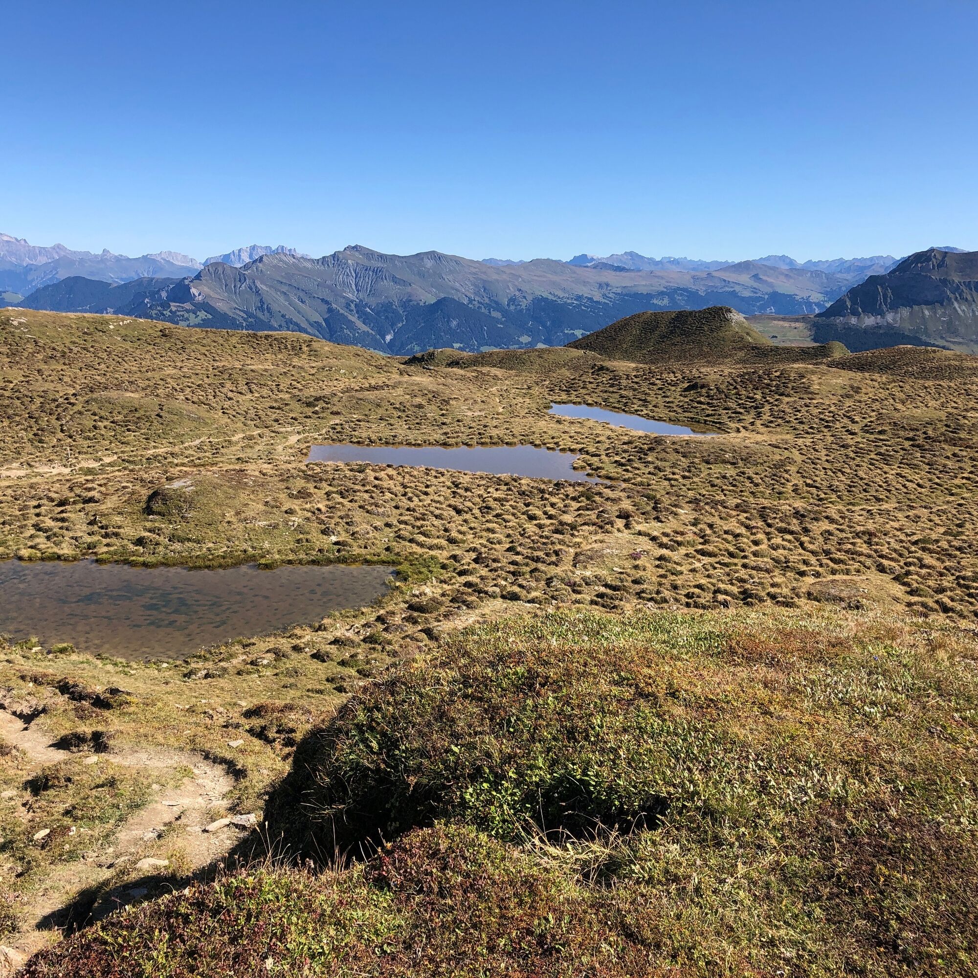
At the Bergstation Heidbüel awaits the Heidbüel storage lake with a sunbathing lawn. A short rest and recharging your energy tank is worthwhile.

Da
Da
Trail running backpack, sturdy and well-broken-in footwear, functional clothing, telescopic poles, map / GPS data and sufficient supplies for the way.
Observe the operating hours of the Panoramabahn Heidbüel.
From Basel and Zurich - Chur-Süd (exit no. 17) - Churwalden.
From Milano - Lugano - San-Bernardino tunnel - Thusis - Chur (Lenzerheide exit) - Churwalden.
By train to Chur, then transfer directly to the PostautoGraubünden (182) buses and reach Churwalden in 20 minutes. Get off at: Churwalden, Bergbahnen
There is a large parking lot at the Portal Churwalden.
Cost: CHF 5.00 / day and car
If you want to save the first altitude meters, take the chairlift from Churwalden to Pradaschier.
Spletne kamere s turneje
Talstation Feldis
Lenzerheide - Urdenfürggli
Lenzerheide - Alp Stätz
Lenzerheide - Piz Scalottas
Lenzerheide - Talstation Rothorn
Alpenstadt Chur
Tschiertschen - Alp Farur
Hühnerköpfe - Bergrestaurant
Hühnerköpfe - Bergrestaurant
Brambrüesch / Sesselbahn Hühnerköpfe
Lenzerheide Dorf
Lenzerheide - Heimberg
Lenzerheide - Heidbüel
Hühnerköpfe - Bergrestaurant
Wassersportzentrum Heidsee
Wassersportzentrum Heidsee
Priljubljeni izleti v okolici
Arosa-Schwellisee-Älplisee-Parpaner Rothorn
Pohodništvo 12.3 km- 5.0
Arosa-Hörnli-Urdenfürrgli-Alp Scharmoin-Lenzerheide
srednjaPohodništvo 15.3 km - 4.7
Arosa-Hörnli-Parpaner Rothorn-Lenzerheide
Pohodništvo 11.9 km - 5.0
202 High-level path Tgantieni
težkoZimsko pohodništvo 12.3 km - 3.0
207 Mittelberg Parpan
srednjaZimsko pohodništvo 7.07 km Rundtour Lenzerheide
srednjaPohodništvo 14.9 km- 5.0
Rhine Gorge: Versam circular hike
svetlobaPohodništvo 4.15 km - 5.0
Eichhörnliweg Arosa
svetlobaTematska pot 1.72 km 201 Heidsee route
svetlobaZimsko pohodništvo 5.49 km- 4.3
Rhine Gorge route (260)
težkoMountainbike 47.1 km

Pohodništvo in sledenje


Ne zamudite ponudb in navdiha za naslednje počitnice
Vaš e-poštni naslov je bil dodan na poštni seznam.