







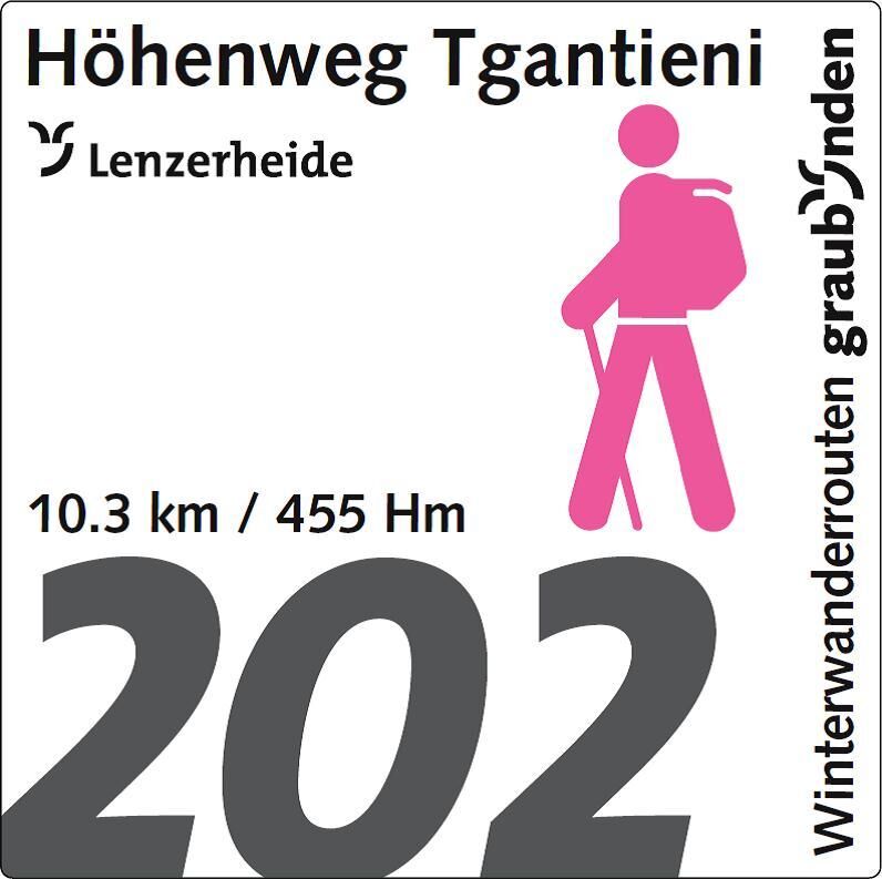
202 High-level path Tgantieni
Stopnja težavnosti: 2
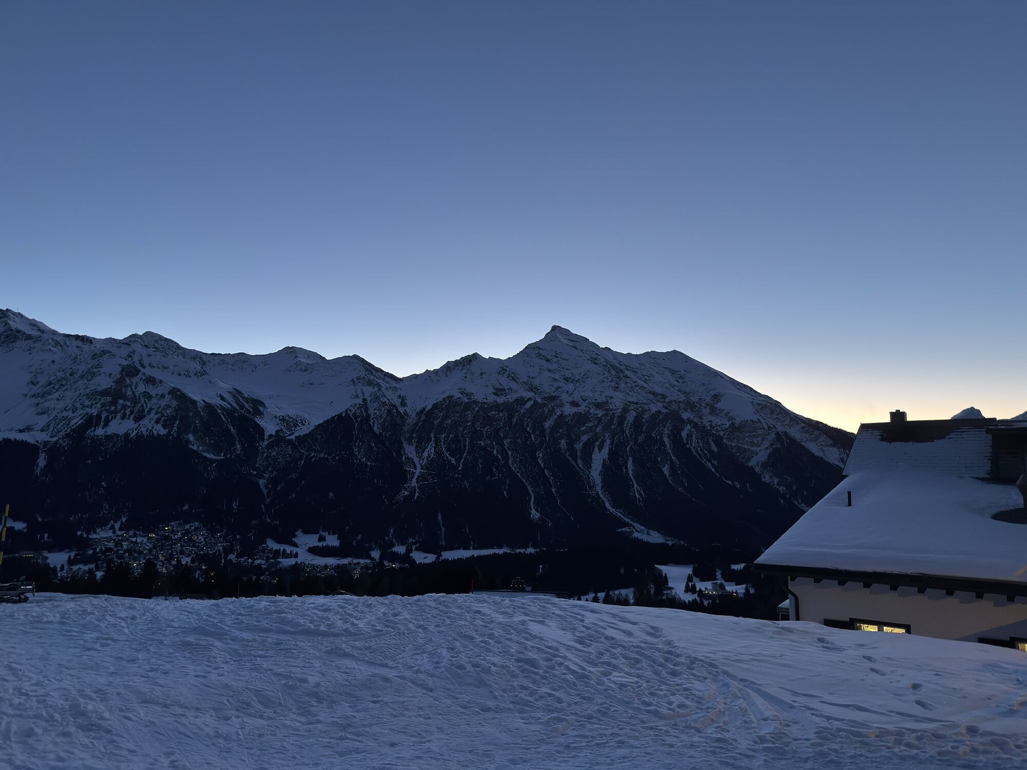
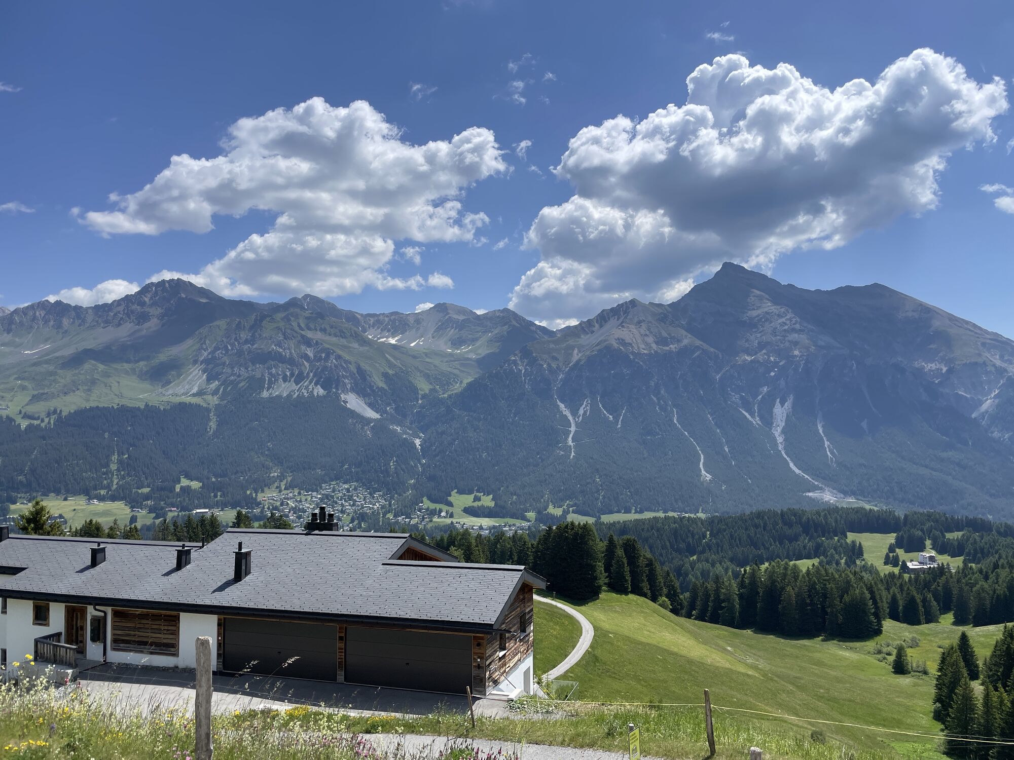
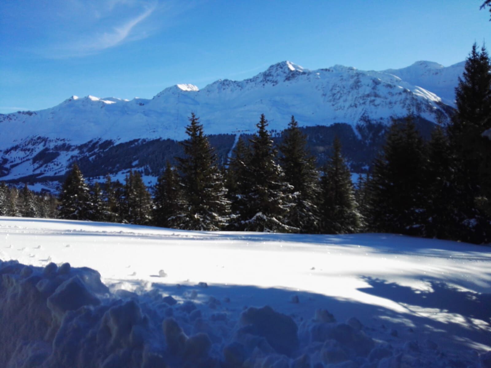
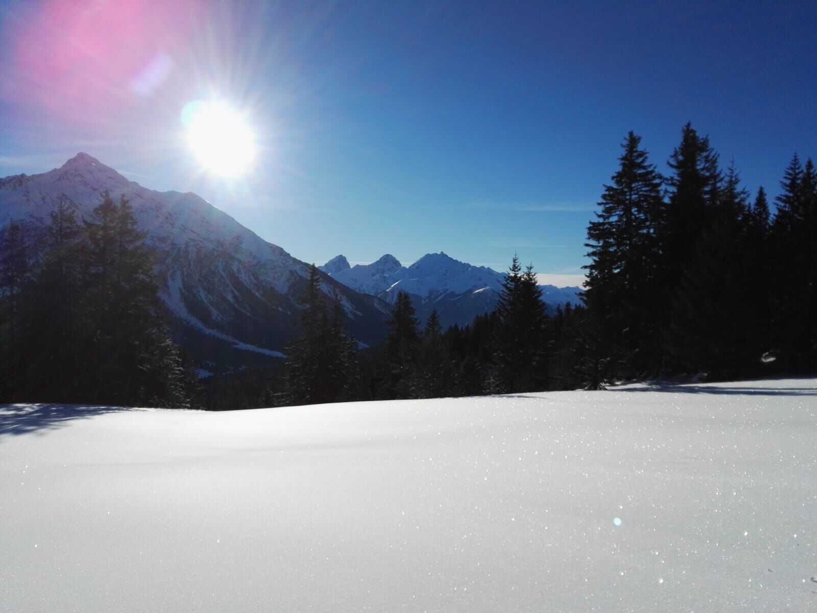
At the Tgantieni mountain station, the panorama immediately captivates you: the opposite valley side is dominated by the Parpaner Rothorn; to the south, the view wanders towards the Albula Valley and Oberhalbstein....
At the Tgantieni mountain station, the panorama immediately captivates you: the opposite valley side is dominated by the Parpaner Rothorn; to the south, the view wanders towards the Albula Valley and Oberhalbstein. A slight ascent follows to the Tgantieni mountain hotel, where the high-level path turns towards Valbella. Besides the beautifully snow-covered mountain landscape, there is a wonderful view of the frozen Heidsee. This lake is home to numerous fish species such as char, brook trout, rainbow trout, minnows, carp, and tench. The lake shores are partially under nature protection.
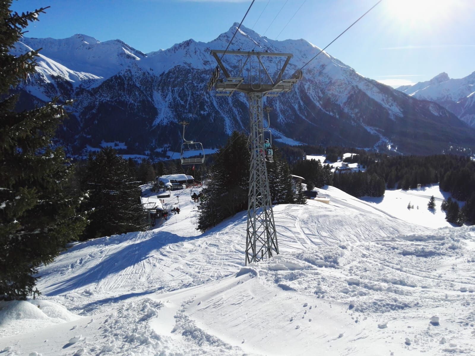
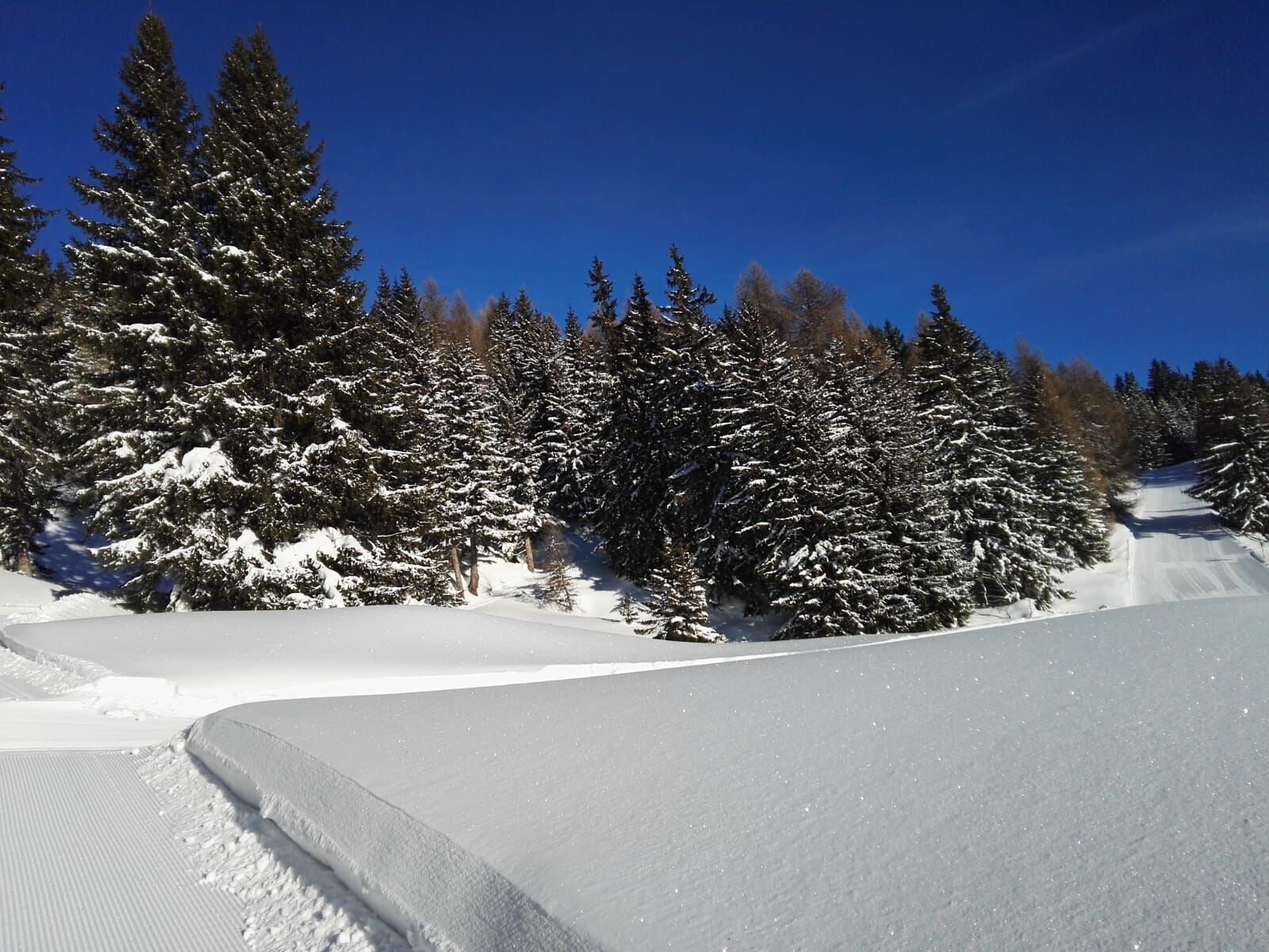
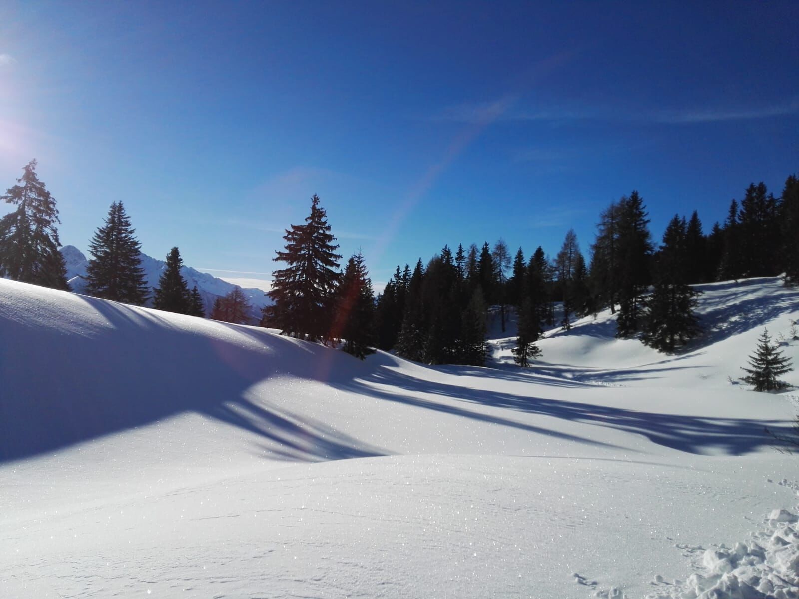
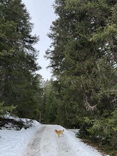
The almost level path continues along the flank of Piz Scalottas and Danis to Spoina. There you take the right turn that leads through snow-covered forests past the Pedra Grosse chairlift. Finally, you return to the village center via Voa Sporz.

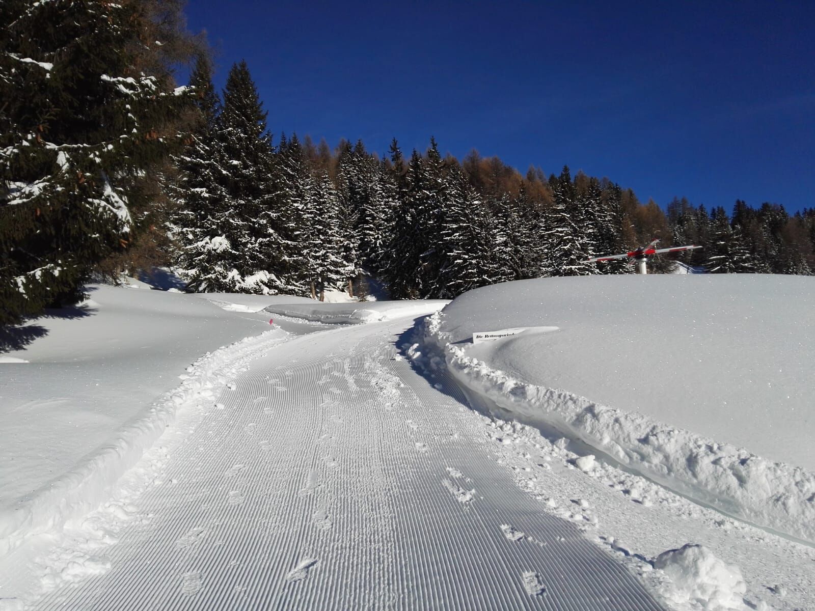
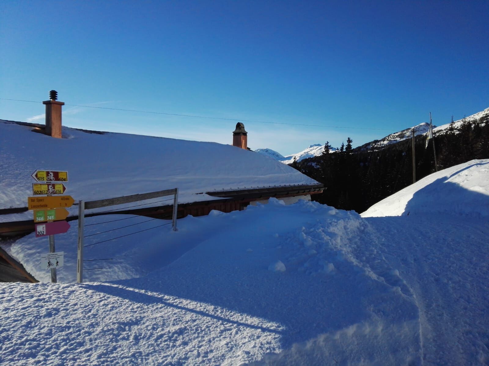

The route starts in front of the Tourist Office in Lenzerheide, which is located directly opposite the Lenzerheide post square. First, you walk south out of the village towards the Hotel Kurhaus and after about 30m turn right into Plam dil Roisch street (towards the community center). You now follow the street past the community center. At the next intersection (Penasch sot/Gravas) you follow Penasch sot street for about 20m, before you see a turnoff Penasch seura on the left side of the street. Now follow the Penasch seura path up to Voa Sporz street. Cross Voa Sporz street and follow the pink signposts 202.
Da
Da
The winter hiking trail runs through a wildlife sanctuary. Please do not leave the marked paths. The entry ban does not apply to the hiking path.
Please observe the operating hours of the Tgantieni chairlift; if it is not in operation, the path can also be very well covered on foot.
From Basel and Zürich - Chur-South (Exit No. 17) - Lenzerheide.
From Milano - Lugano - San Bernardino Tunnel - Thusis - Chur (Lenzerheide exit) - Lenzerheide.
Travel by train to Chur, then change directly onto the buses of Postauto Graubünden and reach Lenzerheide within 30 minutes.
Parking at the entrance to Lenzerheide or at the Rothornbahn valley station.
2

Spletne kamere s turneje
Pridobite vpogled
Vedno v živo na mestu z več kot 9.500 spletnimi kamerami. bergfex Kot uporabnik Pro si lahko zdaj ogledate ustrezne spletne kamere za številne izlete v aplikaciji izleti iz. Tako si lahko neposredno ogledate trenutne razmere.

Priljubljeni izleti v okolici
-
4.6
749 Val Meltger suspension bridge trail
srednjaPohodništvo 8.30 km -
Arosa-Schwellisee-Älplisee-Parpaner Rothorn
Pohodništvo 12.3 km -
4.7
Arosa-Hörnli-Parpaner Rothorn-Lenzerheide
Pohodništvo 11.9 km -
5.0
Arosa-Hörnli-Urdenfürrgli-Alp Scharmoin-Lenzerheide
srednjaPohodništvo 15.3 km -
5.0
Eichhörnliweg Arosa
svetlobaTematska pot 1.72 km -
Alp Sanaspans - Rothorn
težkoPohodništvo 13.6 km -
5.0
4-Viaduct hike
srednjaPohodništvo 13.6 km -
5.0
767 Alteinsee Schiesshorn
srednjaPohodništvo 11.9 km -
5.0
Arosa-Erzhornsattel-Arosa
Pohodništvo 14.9 km -
745 Family Trail Lenzerheide
svetlobaPohodništvo 9.36 km

Pohodništvo in sledenje


Ne zamudite ponudb in navdiha za naslednje počitnice
Vaš e-poštni naslov je bil dodan na poštni seznam.





