


Horse trekking Val Mora 1st stage: Scuol San Jon - Tschierv
Stopnja težavnosti: 4
Fotografije naših uporabnikov
-
 © Grossmann EstherUstvarjeno na 03.09.2024
 -
 © Grossmann EstherUstvarjeno na 03.09.2024
 -
 © Grossmann EstherUstvarjeno na 03.09.2024
 -
 © Grossmann EstherUstvarjeno na 03.09.2024
 -

 © Daniel BulfoniUstvarjeno na 24.08.2022
 -
 © Daniel BulfoniUstvarjeno na 24.08.2022
 -
 © Daniel BulfoniUstvarjeno na 24.08.2022
 -
 © Daniel BulfoniUstvarjeno na 24.08.2022
 -
 © Birgit StroblUstvarjeno na 01.05.2026
 -
 © lotharkoernerUstvarjeno na 22.07.2025
 -

 © Sergio FontanaUstvarjeno na 21.07.2025
 -
 © Sergio FontanaUstvarjeno na 21.07.2025
 -
 © HeikeGEUstvarjeno na 10.07.2025
 -
 © HeikeGEUstvarjeno na 10.07.2025
 -

 © Thomi WUstvarjeno na 21.06.2025
 -
 © Thomi WUstvarjeno na 21.06.2025
 -
 © Thomi WUstvarjeno na 21.06.2025
 -
 © Thomi WUstvarjeno na 21.06.2025
 -
 © Pm MauretterUstvarjeno na 20.06.2025
 -
 © Pm MauretterUstvarjeno na 20.06.2025
 -
 © Pm MauretterUstvarjeno na 19.06.2025
 -
 © Pm MauretterUstvarjeno na 19.06.2025
 -
 © Daniel MartiUstvarjeno na 31.10.2024
 -
 © Rene51Ustvarjeno na 03.09.2024


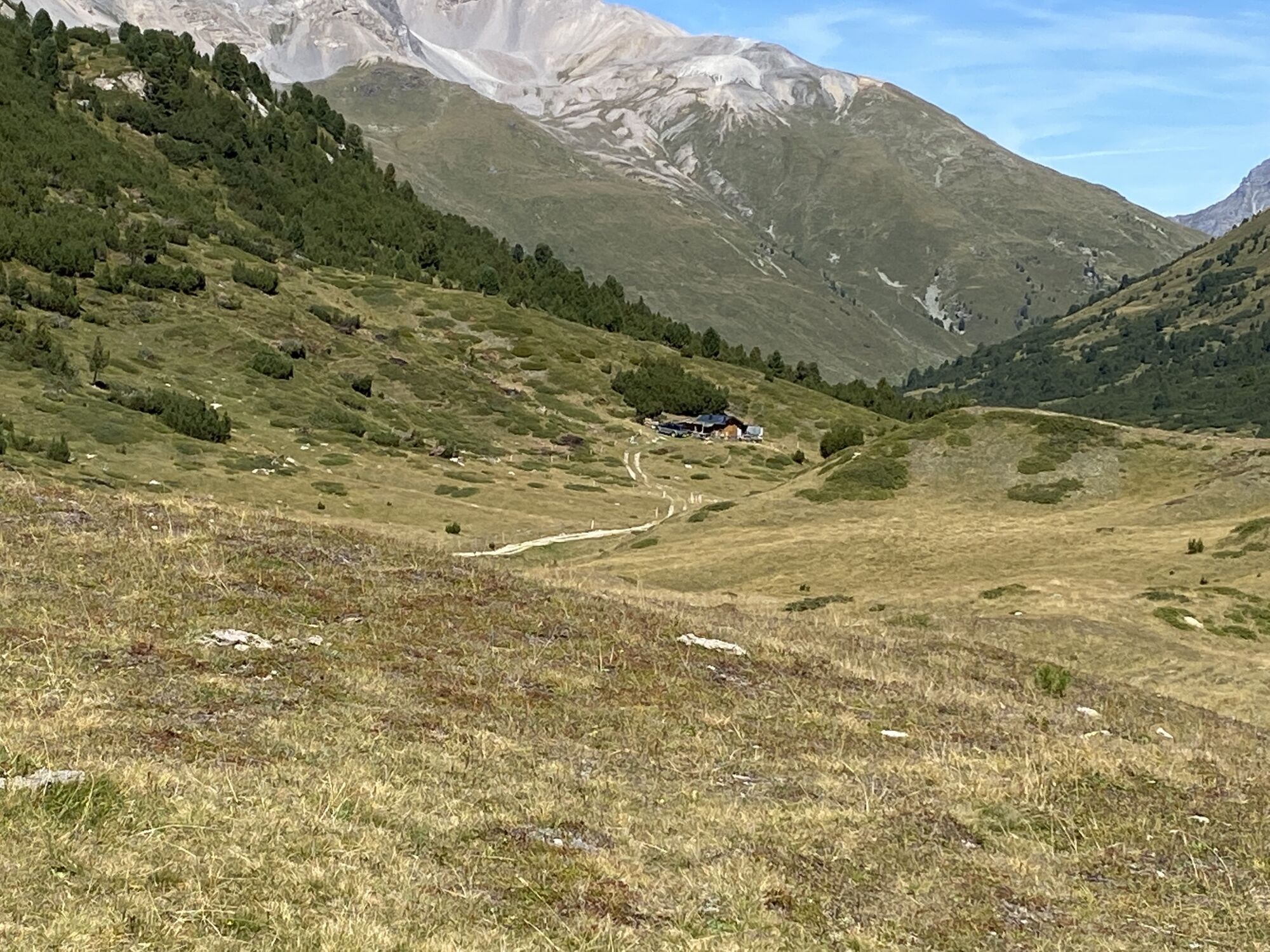
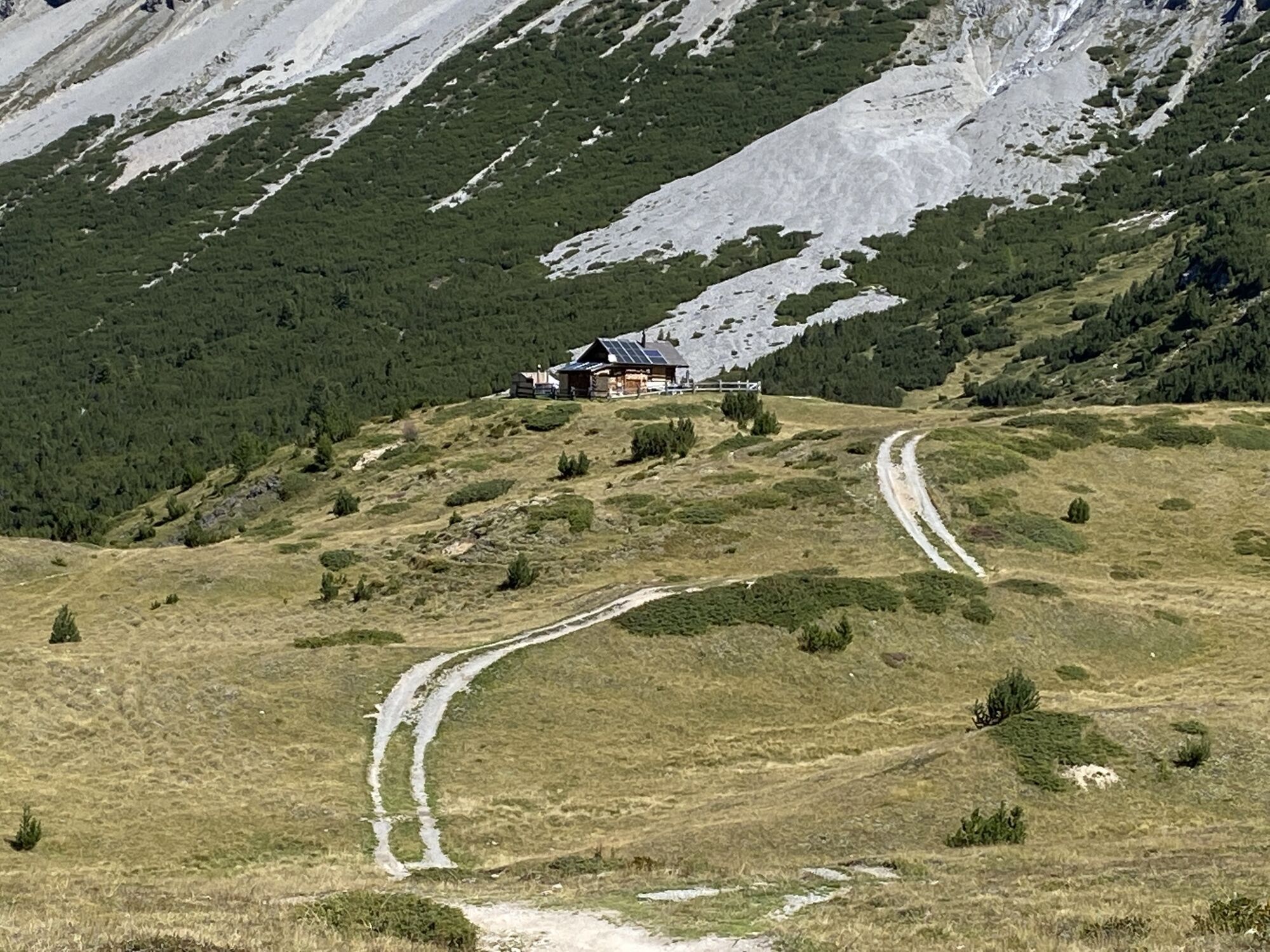


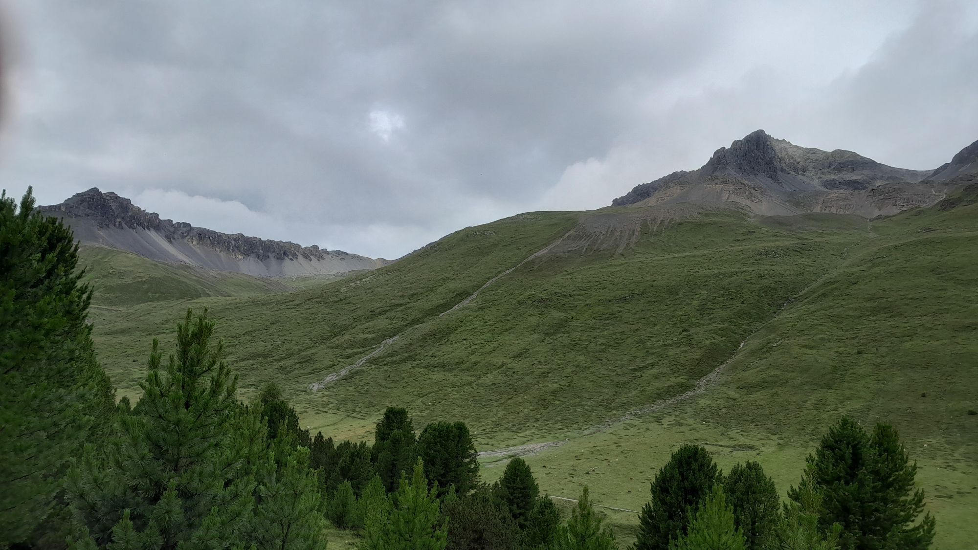


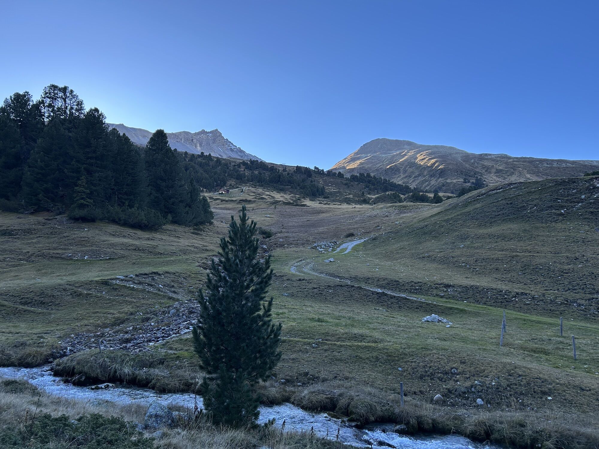

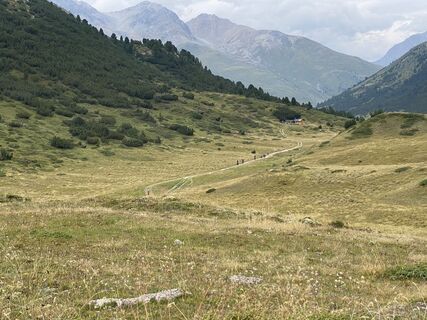
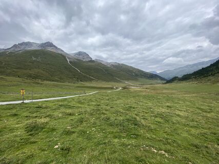
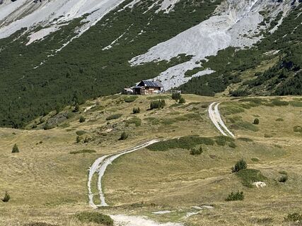
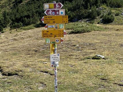
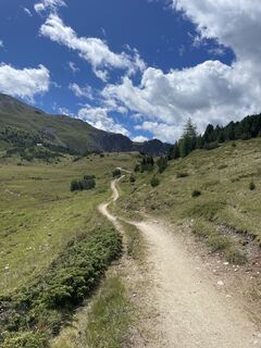
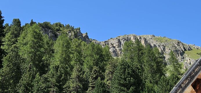
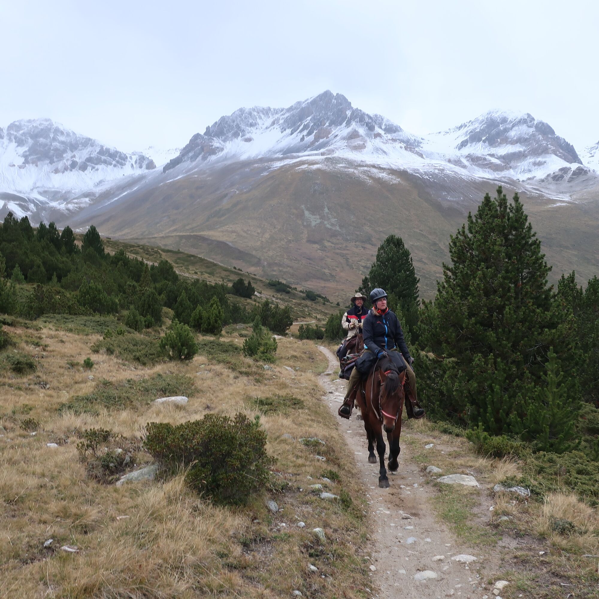
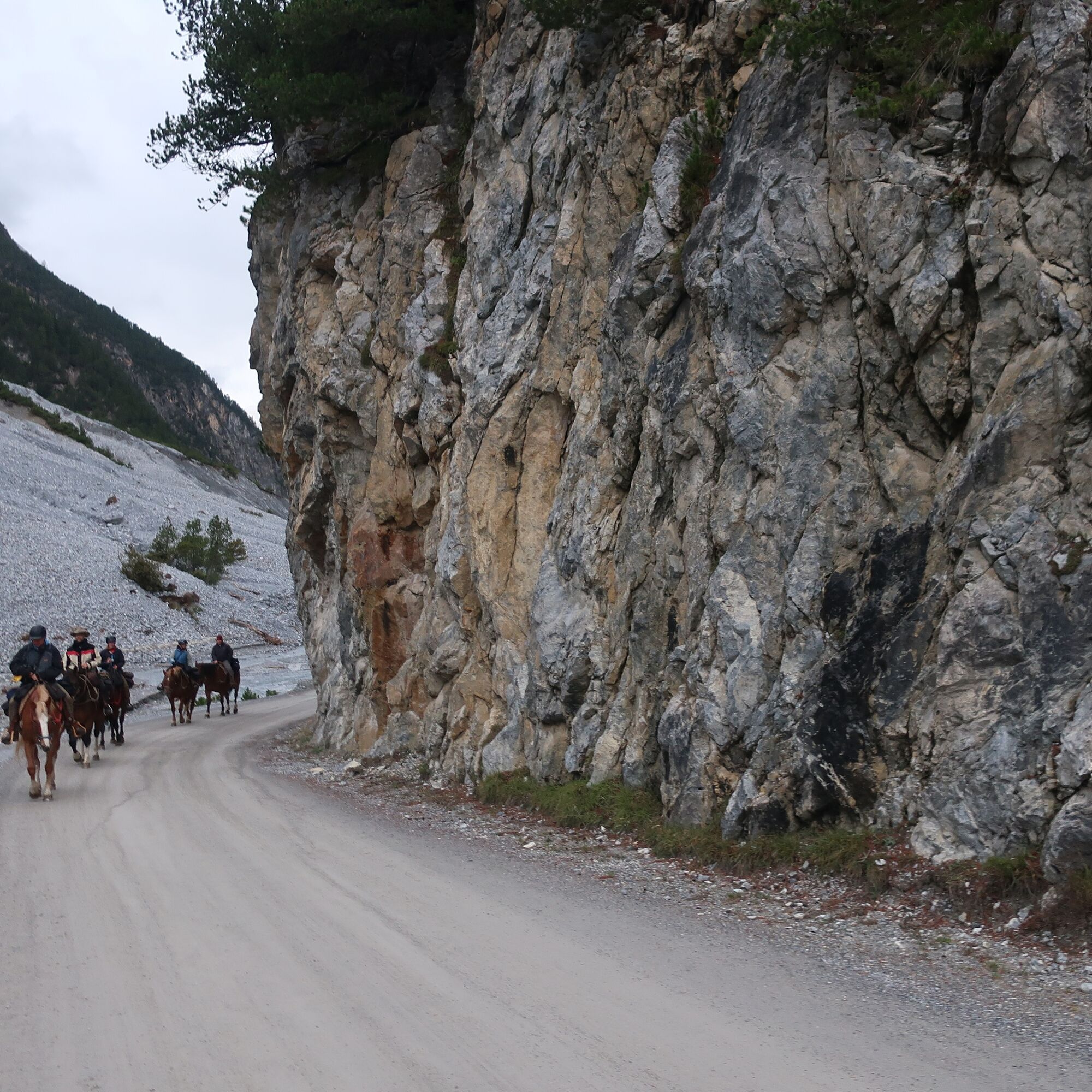
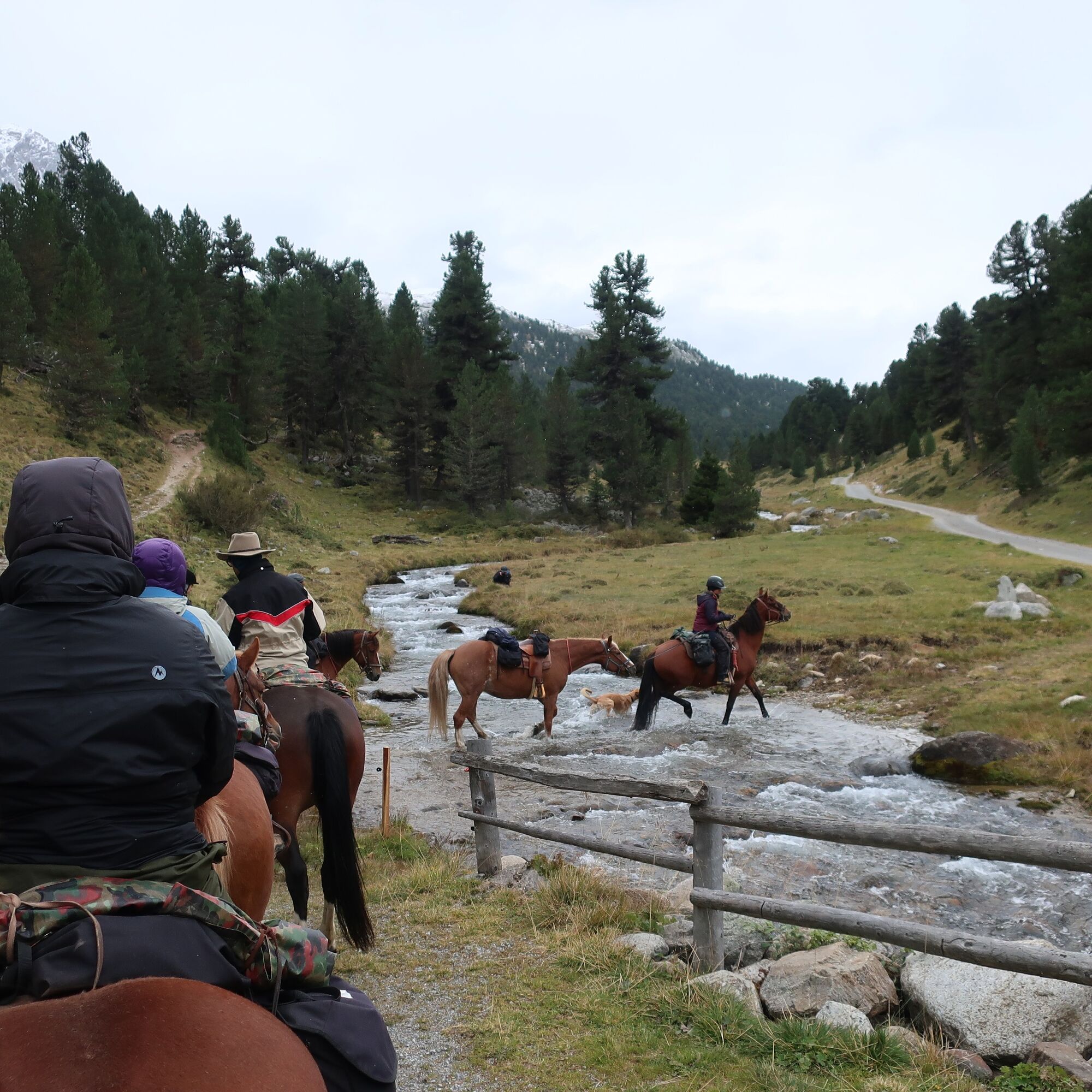
After a short stretch, you ride to the hamlet S-charl on the gravel road along the river Clemgia. From there the beautiful path leads through the highest European larch forest and up to the Pass da Costainas,...
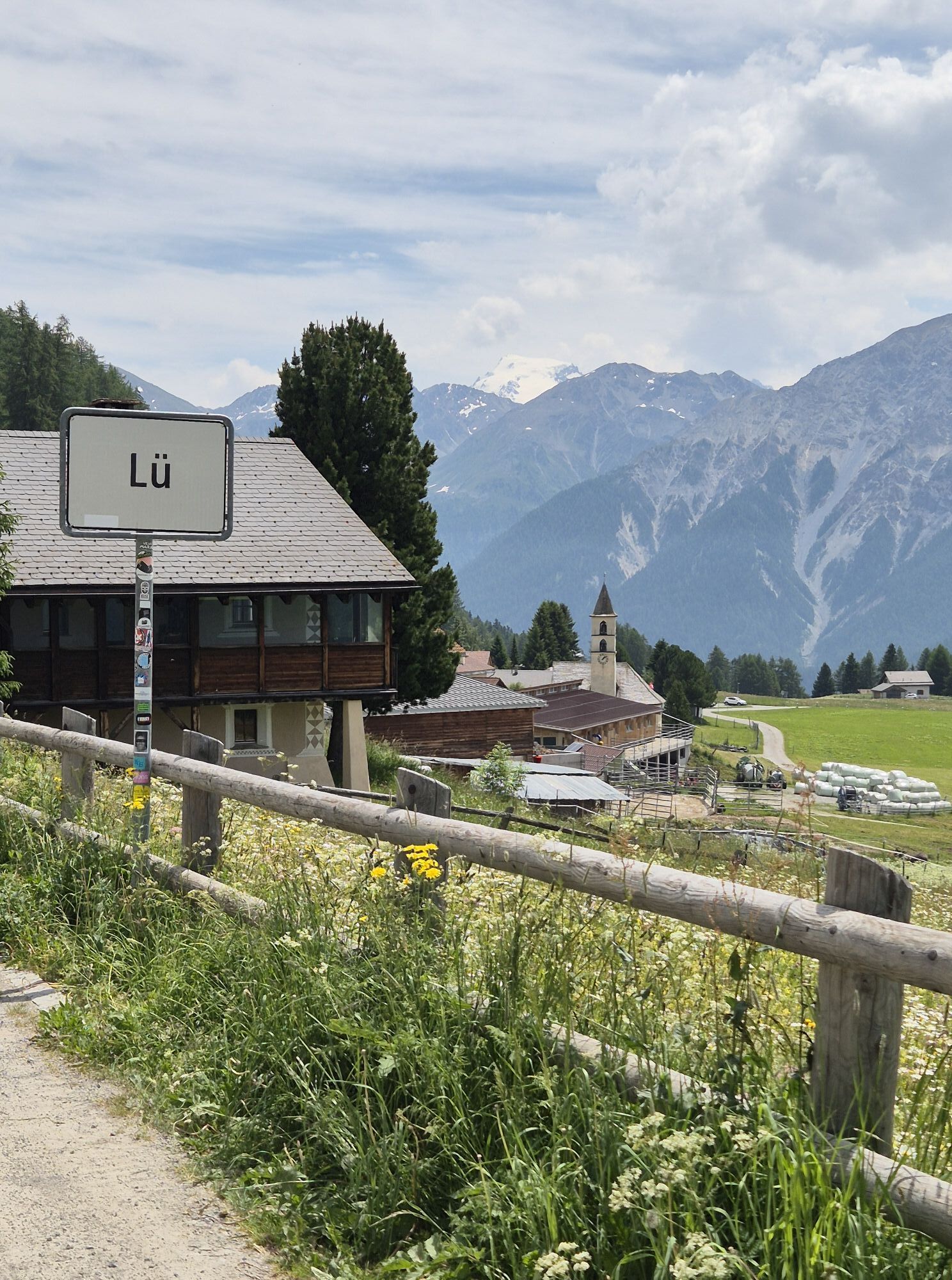
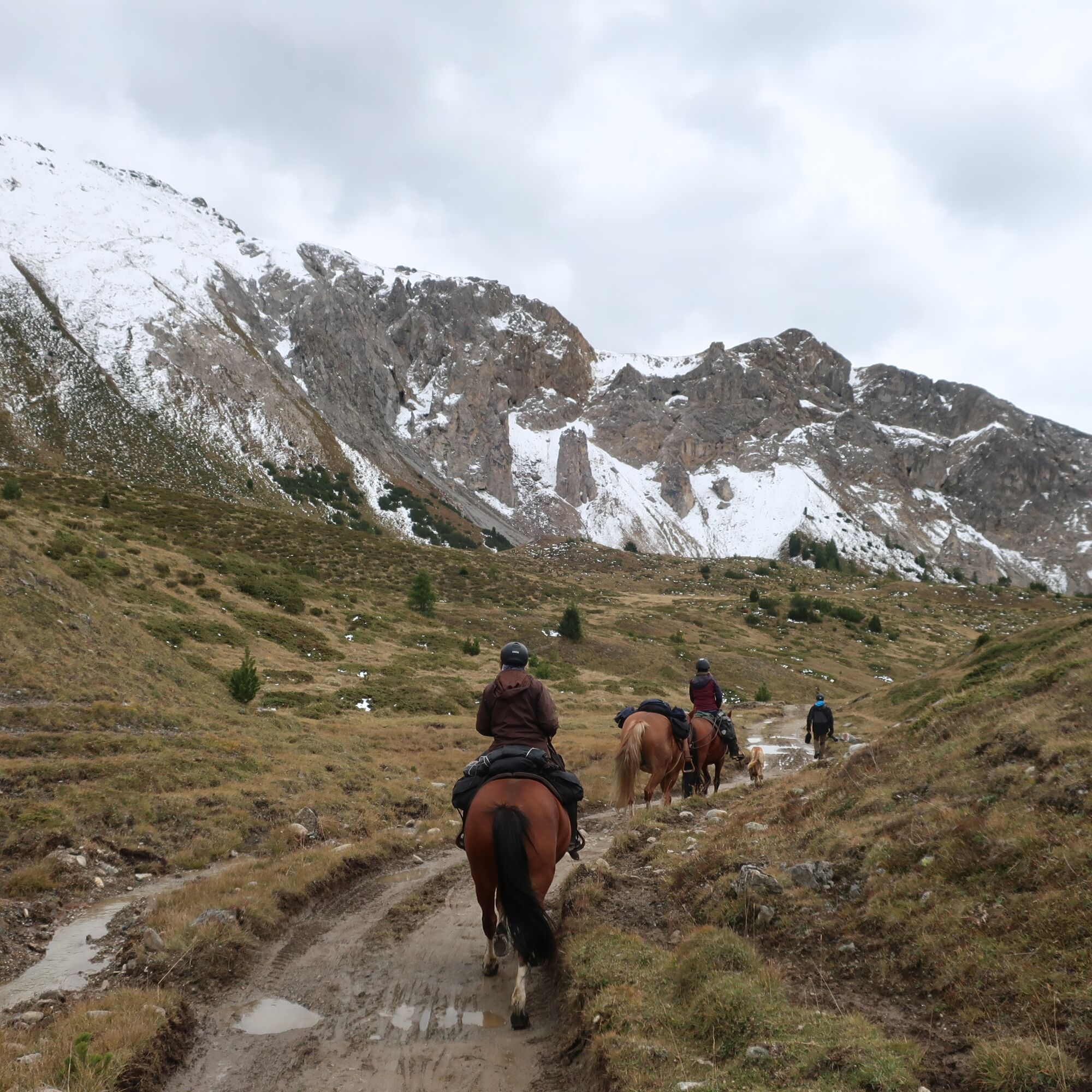
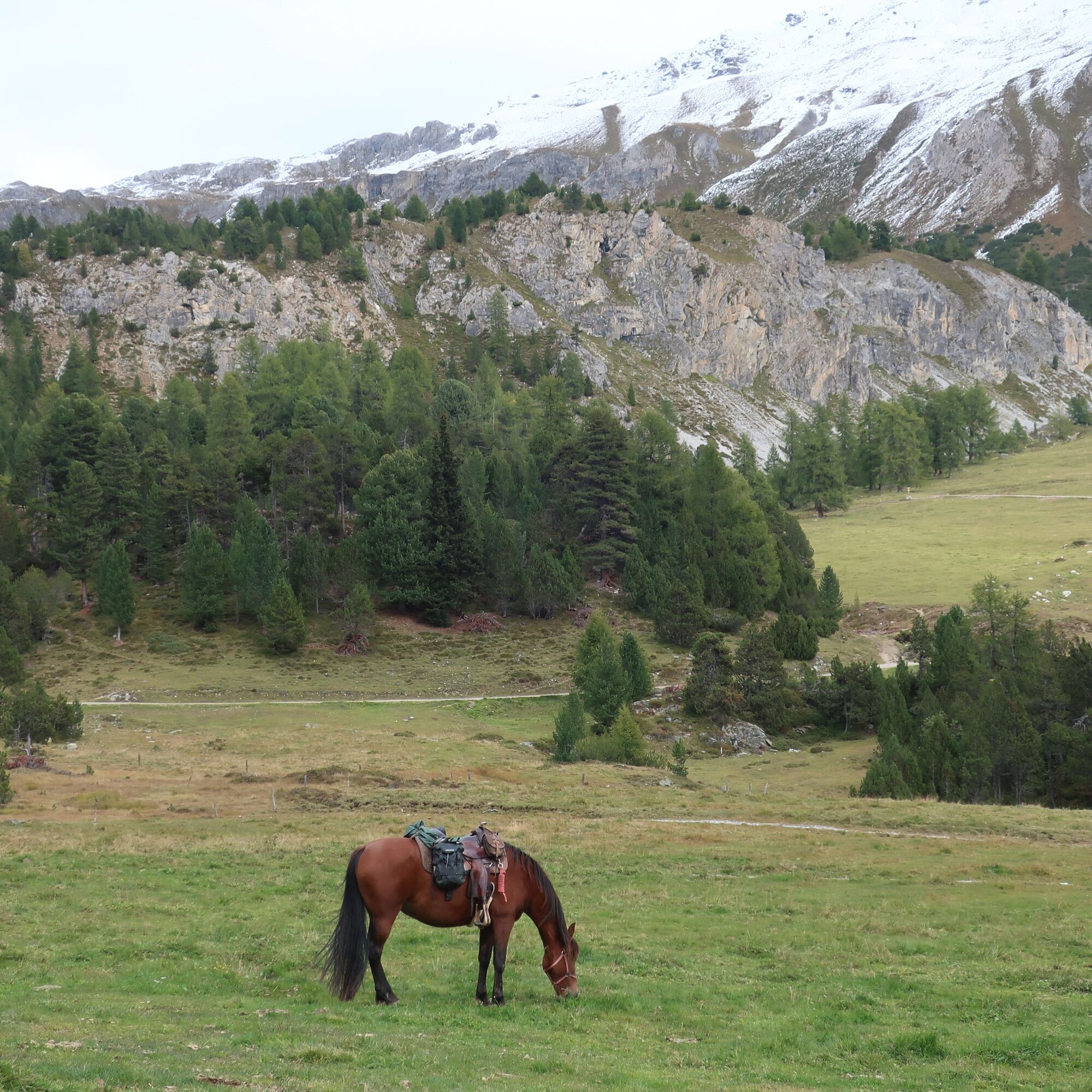
After a short stretch, you ride to the hamlet S-charl on the gravel road along the river Clemgia. From there the beautiful path leads through the highest European larch forest and up to the Pass da Costainas, the highest point of the stage. From now on, the ride leads downhill (sometimes it is advisable to dismount and lead the horse) to Alp Champatsch and from there further to the picturesque village of Lü. From here it is still about an hour to the village Tschierv, where the end point of the first stage is located.

From Scuol take the PostBus towards S-charl to the stop «San Jon» (connection only possible in summer).
Trekking backpack with provisions and enough drinks, sturdy footwear, weatherproof clothing, emergency kit.
The route was rated under favorable weather conditions. The current weather conditions and forecasts must be strictly observed before starting the route.
Emergency number
144 emergency, first aid
1414 Mountain Rescue REGA
112 International emergency number
By car to Scuol, exit Suol Nord towards Swiss National Park and S-charl. After about 5 km turn left to San Jon.
By train to Scuol-Tarasp and from there by PostBus to Scuol «San Jon».
Sufficient parking spaces available at San Jon (for guests).
4
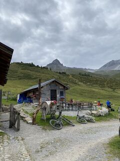
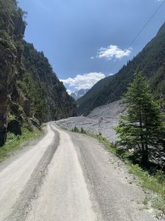
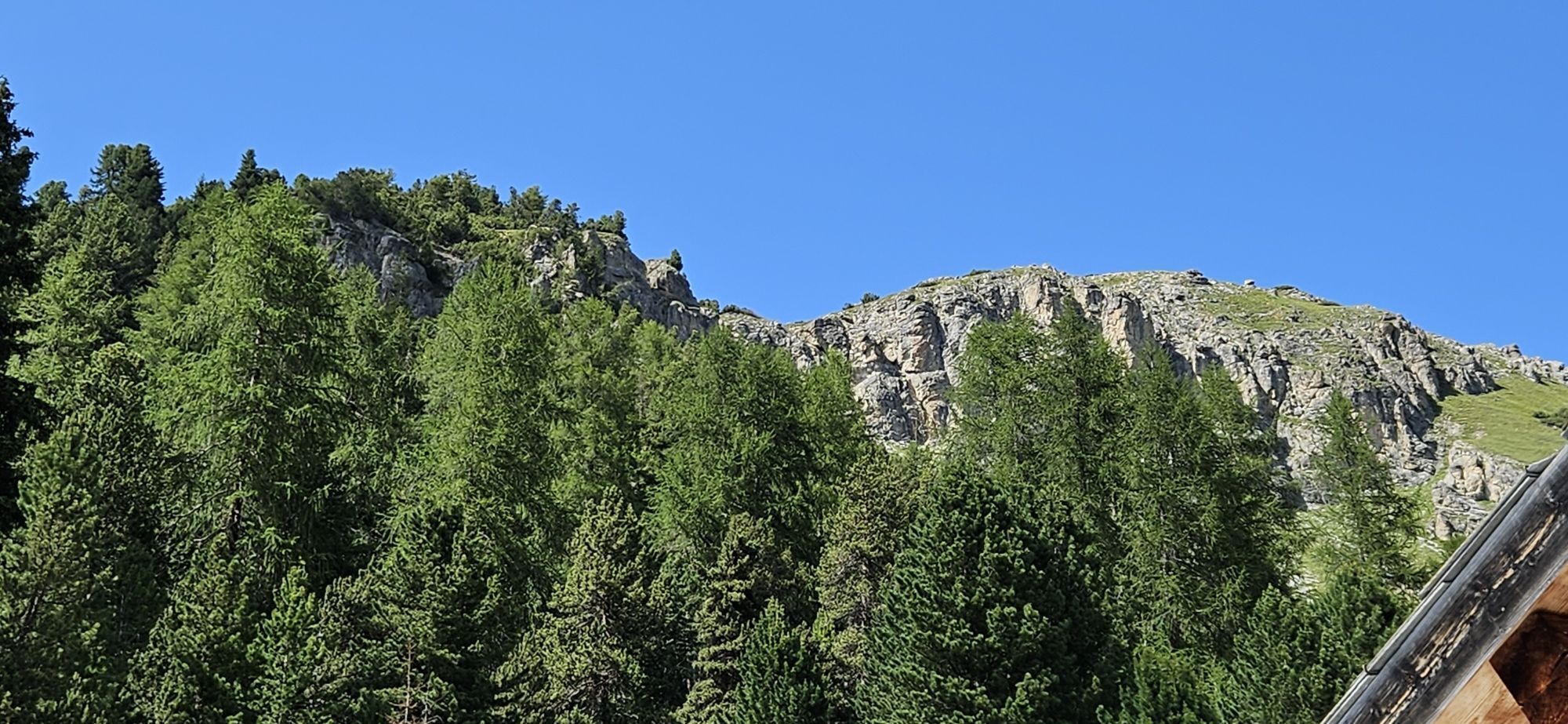
Highest European larch forest «God da Tamangur» in S-charl.
Spletne kamere s turneje
Priljubljeni izleti v okolici
-
5.0
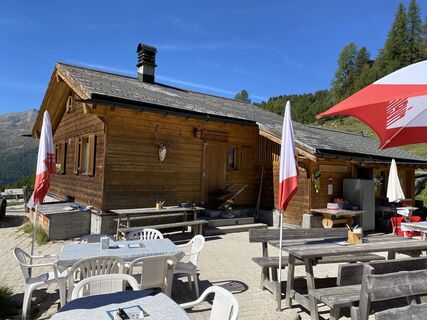
Mountain restaurant Plantaptasch (without Lift)
srednjaPohodništvo 3.42 km -
3.6
Easy hiking rout to the top of the Watles Moutain (2.550 m)
srednjaPohodništvo 2.35 km -
4.5
Rundwanderweg Wattles und Sesvenna
svetlobaPohodništvo 16.4 km -
3.4
Sta.Maria, Prà da Vau - Lai da Rims - Alp Sot - Prà da Vau
težkoPohodništvo 14.7 km -
4.0
National Park: Margunet
svetlobaPohodništvo 7.76 km -
4.5
Tarasp Fontana – Sparsels – Lai Nair (circular route)
svetlobaPohodništvo 7.67 km -
4.8
National Park: Grimmels (circular hike)
svetlobaPohodništvo 6 km -
5.0
San Jon – Chamonna Lischana (return)
srednjaPohodništvo 12.0 km -
4.5
Bergwanderung Schlinig -Seswenahütte
srednjaPohodništvo 13.6 km -
5.0
National Park: Mot Tavrü
srednjaPohodništvo 12.0 km

Pohodništvo in sledenje


Ne zamudite ponudb in navdiha za naslednje počitnice
Vaš e-poštni naslov je bil dodan na poštni seznam.