


Uina-Bernina Bike Route Stage 4: S-chanf – Scuol
Stopnja težavnosti: S1
Fotografije naših uporabnikov
-
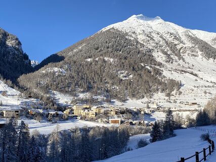
 © Susanna mastrobuoniUstvarjeno na 28.06.2025
 -

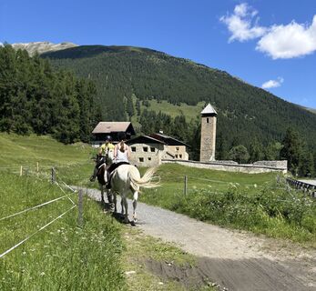
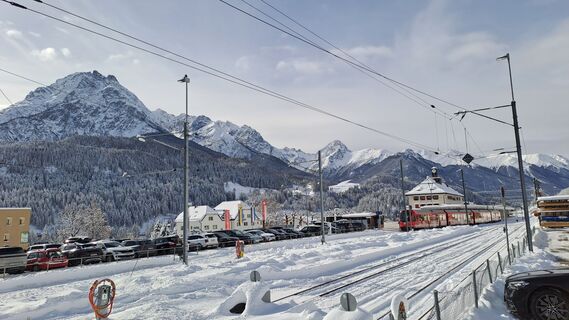
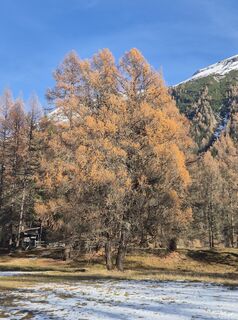
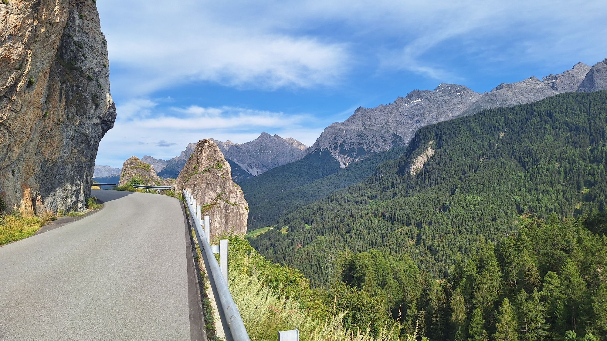
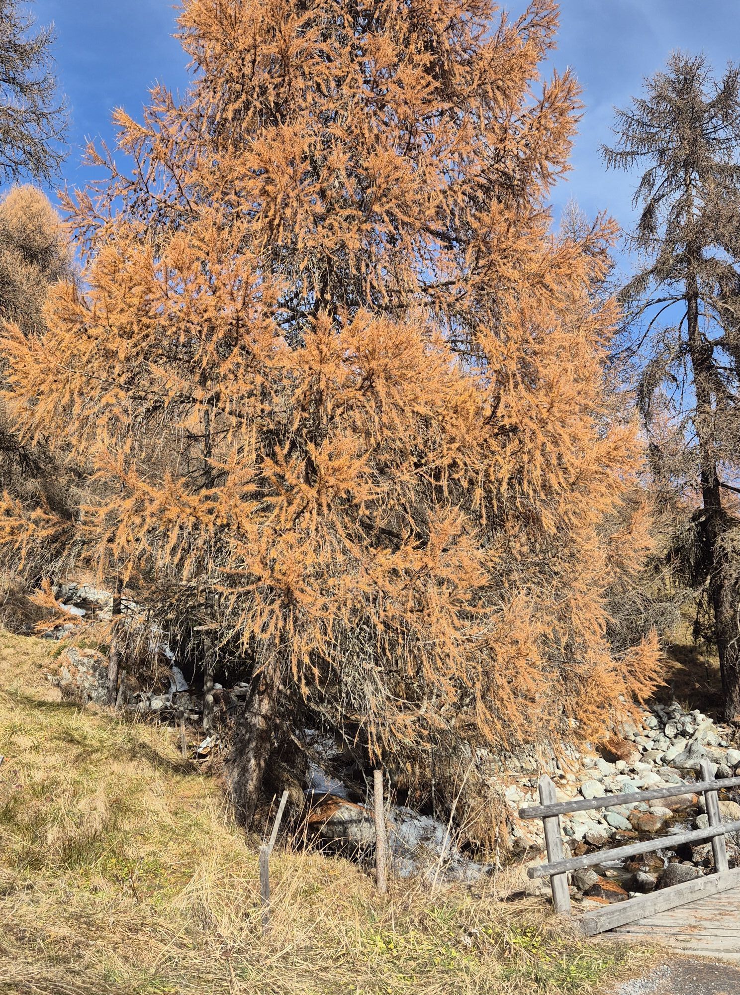
 © Matej Mikus 1Ustvarjeno na 25.07.2024
 -
 © Matej Mikus 1Ustvarjeno na 25.07.2024
 -
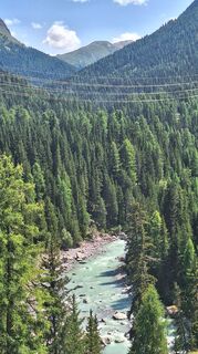
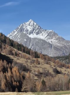
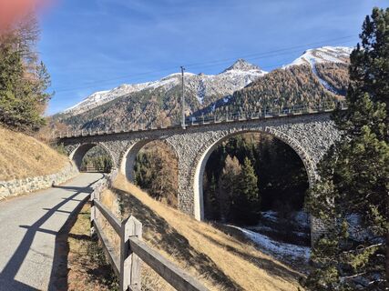
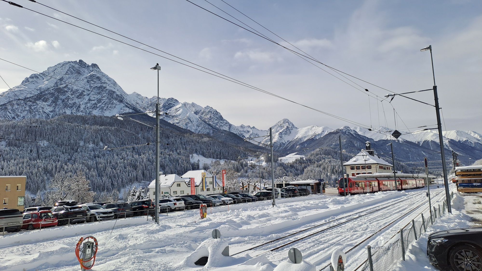
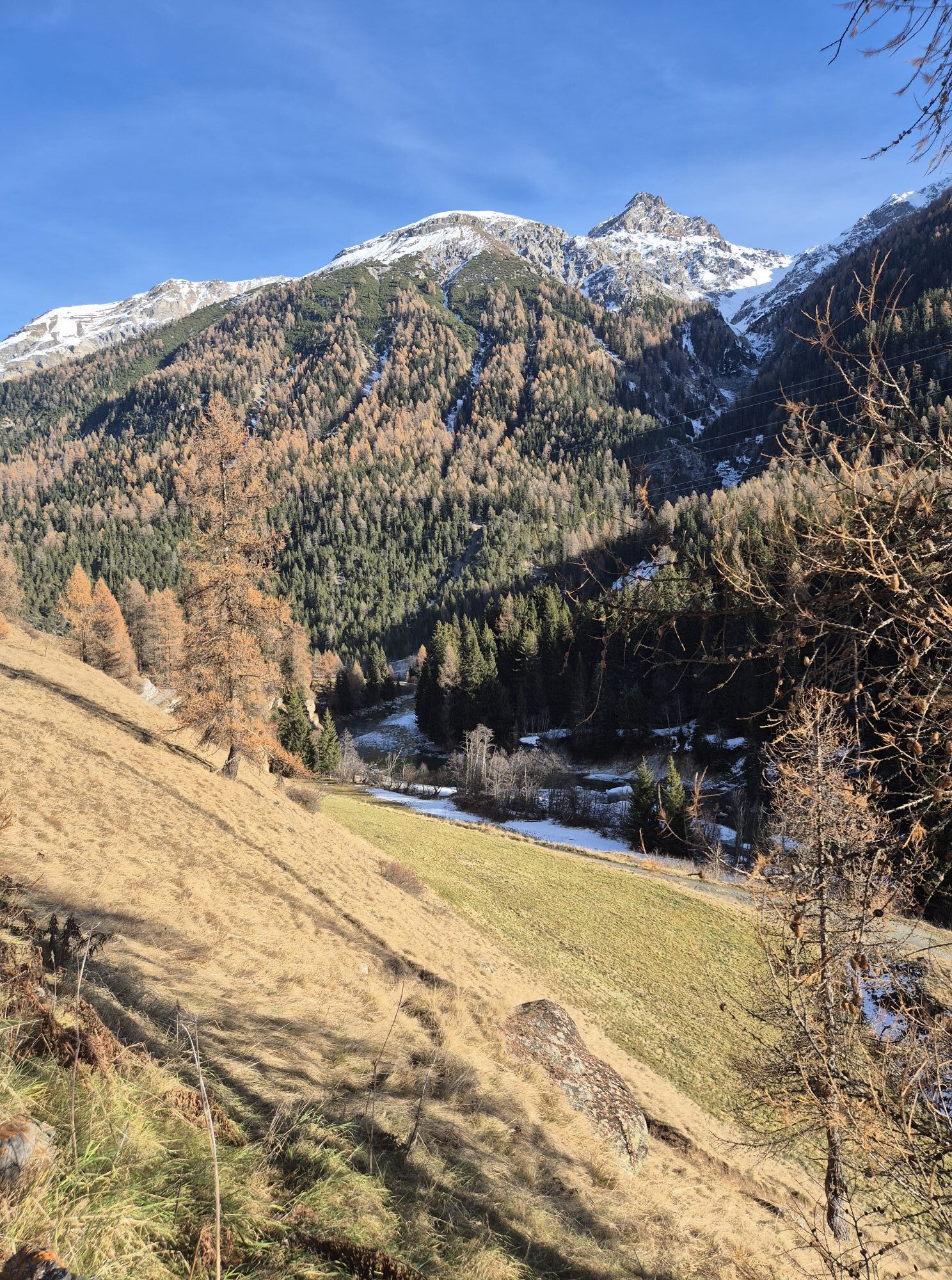
 © Daniel BulfoniUstvarjeno na 11.12.2022
 -
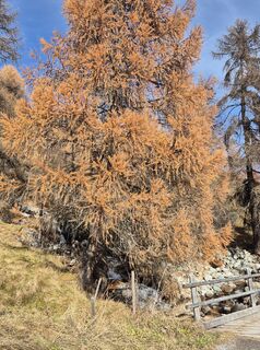
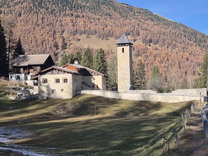
 © Daniel BulfoniUstvarjeno na 11.12.2022
 -
 © Daniel BulfoniUstvarjeno na 11.12.2022
 -
 © GibiUstvarjeno na 18.02.2026
 -
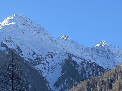
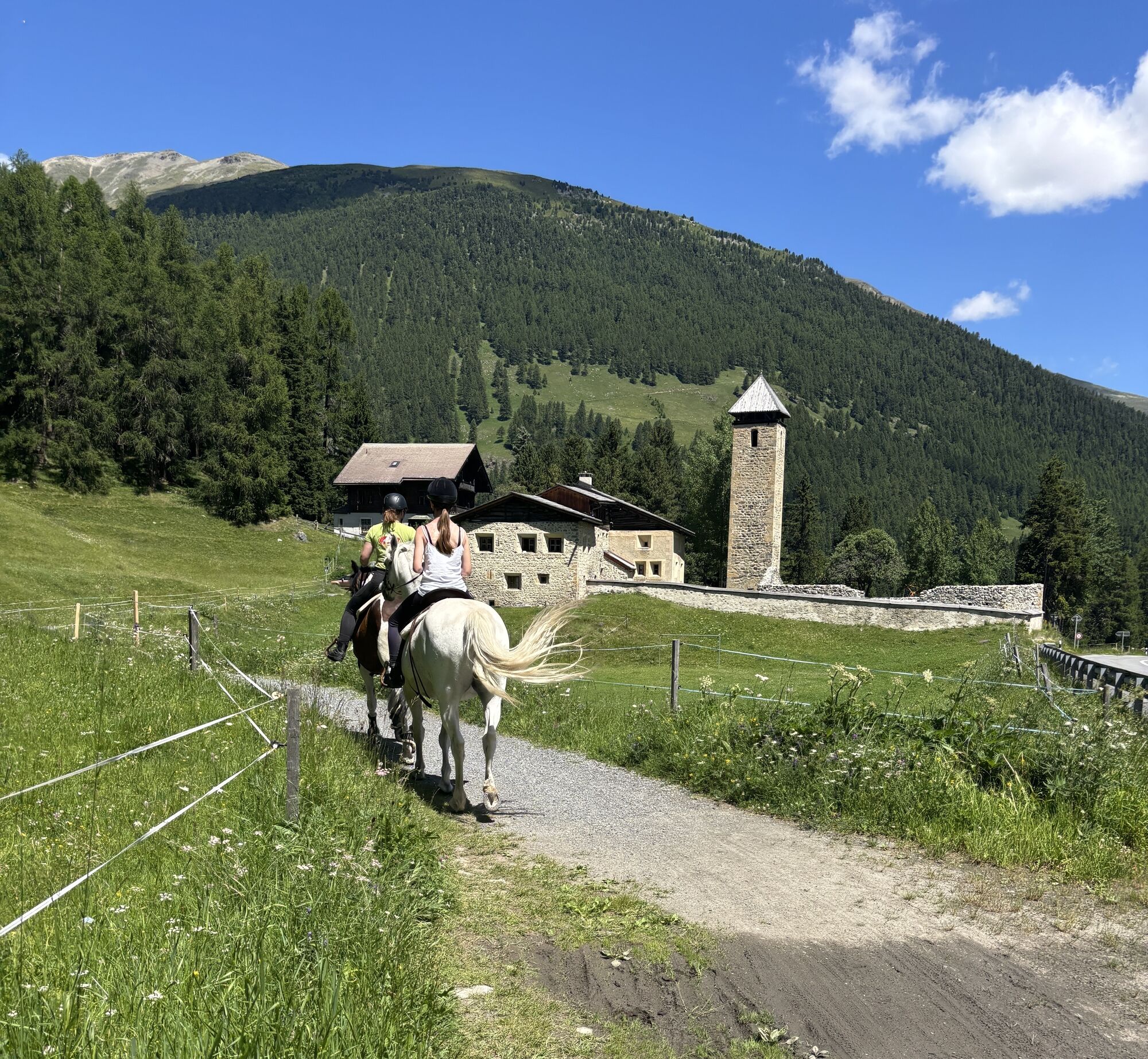
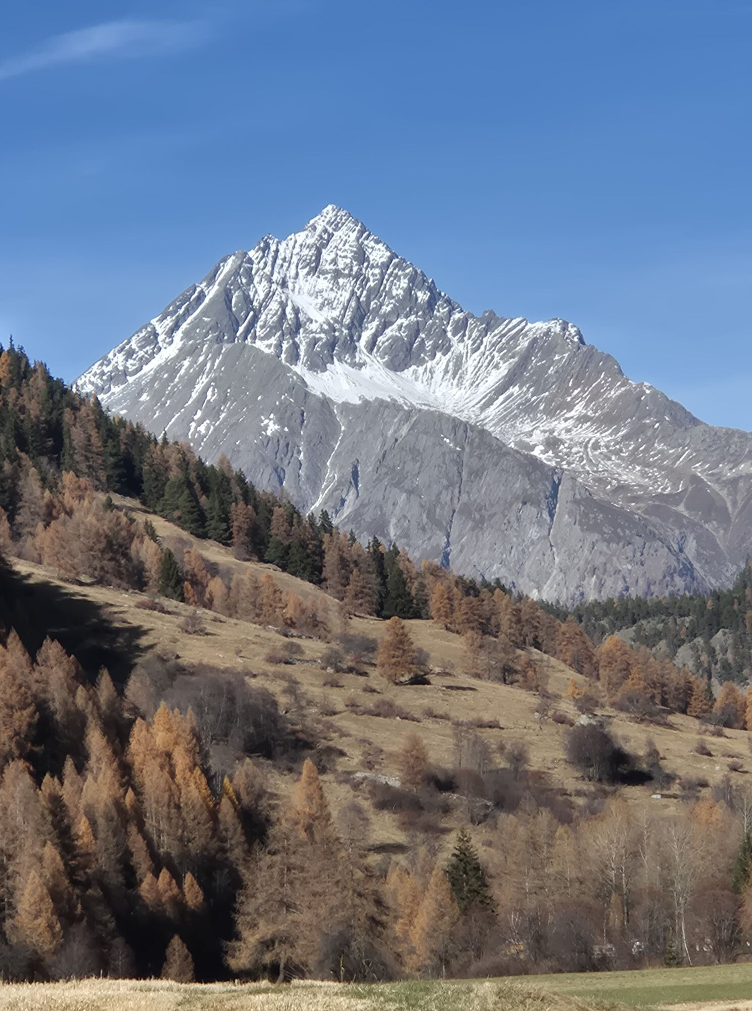
 © Thomi WUstvarjeno na 13.11.2025
 -
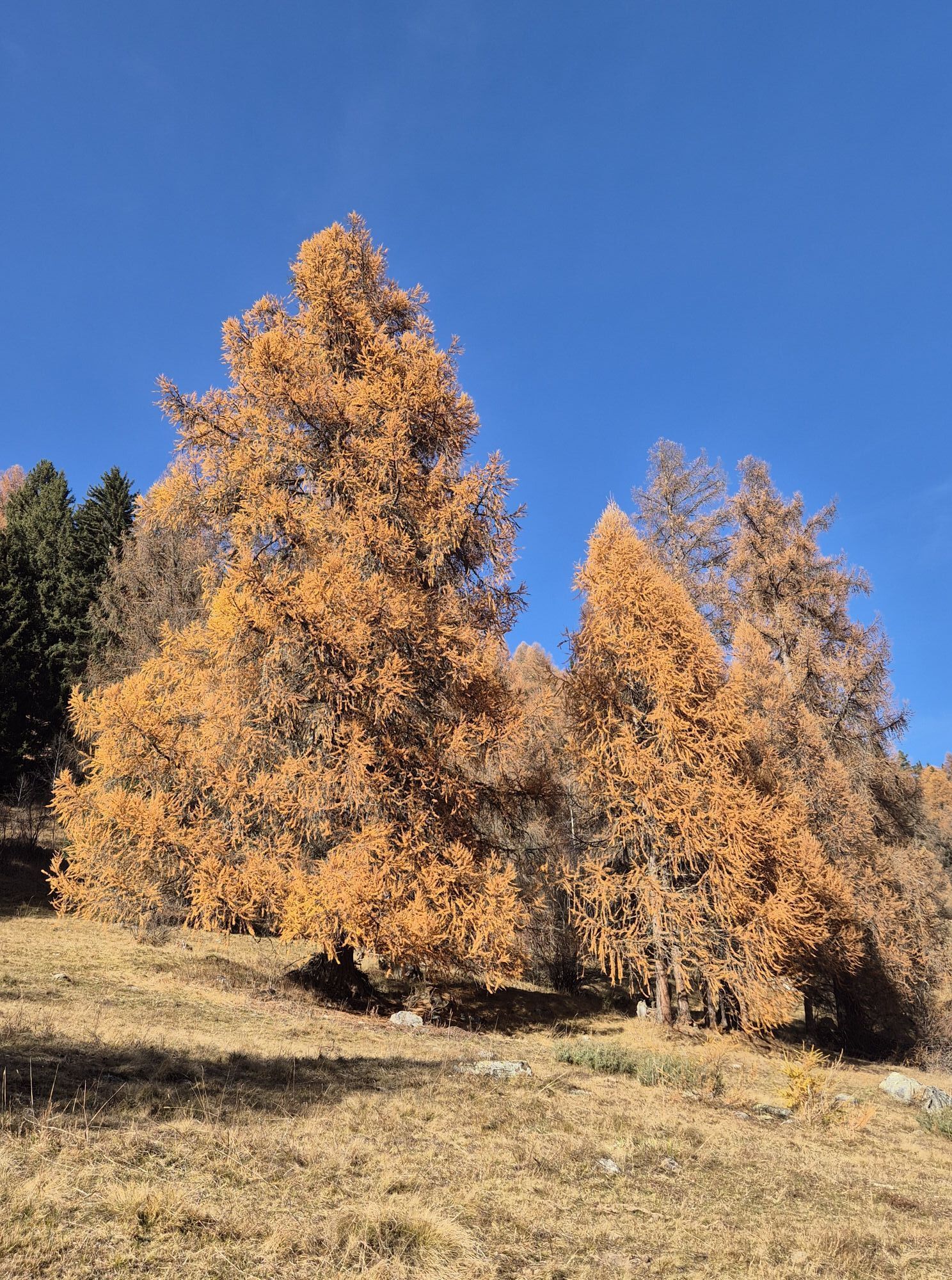
 © Thomi WUstvarjeno na 13.11.2025
 -
 © Thomi WUstvarjeno na 13.11.2025
 -
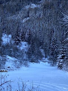
 © Thomi WUstvarjeno na 11.11.2025
 -
 © Thomi WUstvarjeno na 11.11.2025
 -
 © Thomi WUstvarjeno na 11.11.2025
 -
 © Thomi WUstvarjeno na 11.11.2025
 -

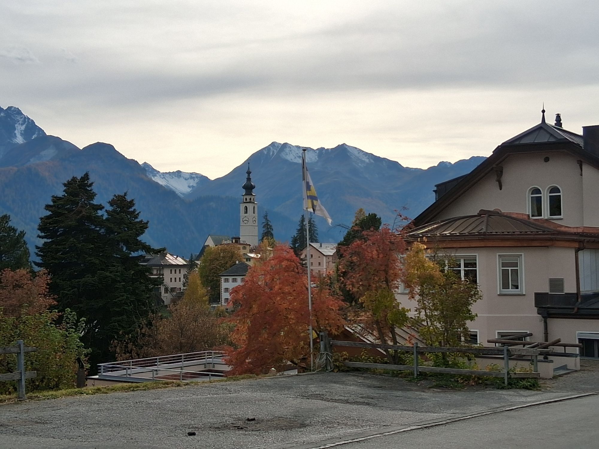
 © Stefan38Ustvarjeno na 19.10.2025
 -

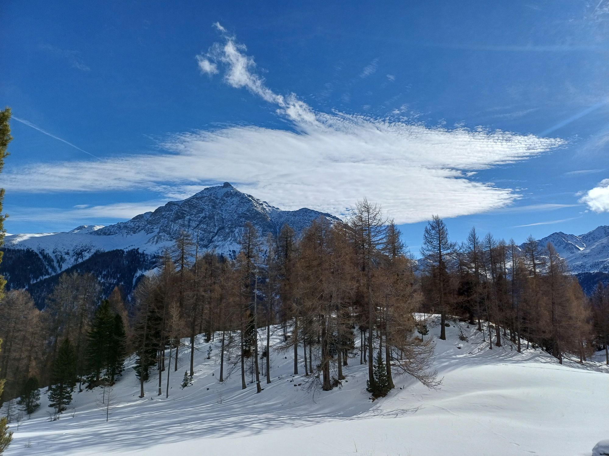
 © Marlyse LeuUstvarjeno na 25.01.2025


From S-chanf (1669 m), the route follows Route No. 444 (National Park Bike Marathon) along the Rhaetian Railway line to Zernez (1485 m) and further along the Inn to Susch (1426 m). From here, a gravel...
From S-chanf (1669 m), the route follows Route No. 444 (National Park Bike Marathon) along the Rhaetian Railway line to Zernez (1485 m) and further along the Inn to Susch (1426 m). From here, a gravel road leads to Lavin (1387 m). At the wooden bridge, Route No. 444 is left, descending to the Inn Gorge at Giarsun (1361 m) and climbing back to the hamlet Sur En d'Ardez (1469 m), a short stretch on the road to Ardez (1464 m). Then a short, steep climb leads back to Route No. 444 towards Ftan. From Ftan Pitschen (1644 m), it continues over a difficult singletrail, crossing the road twice, towards Scuol. Then two hairpin bends (approx. 1.3 km) on the main road follow before the path branches right at Putschigls (1361 m). The singletrail leads via Nairs (1191 m) to Scuol railway station (1250 m).

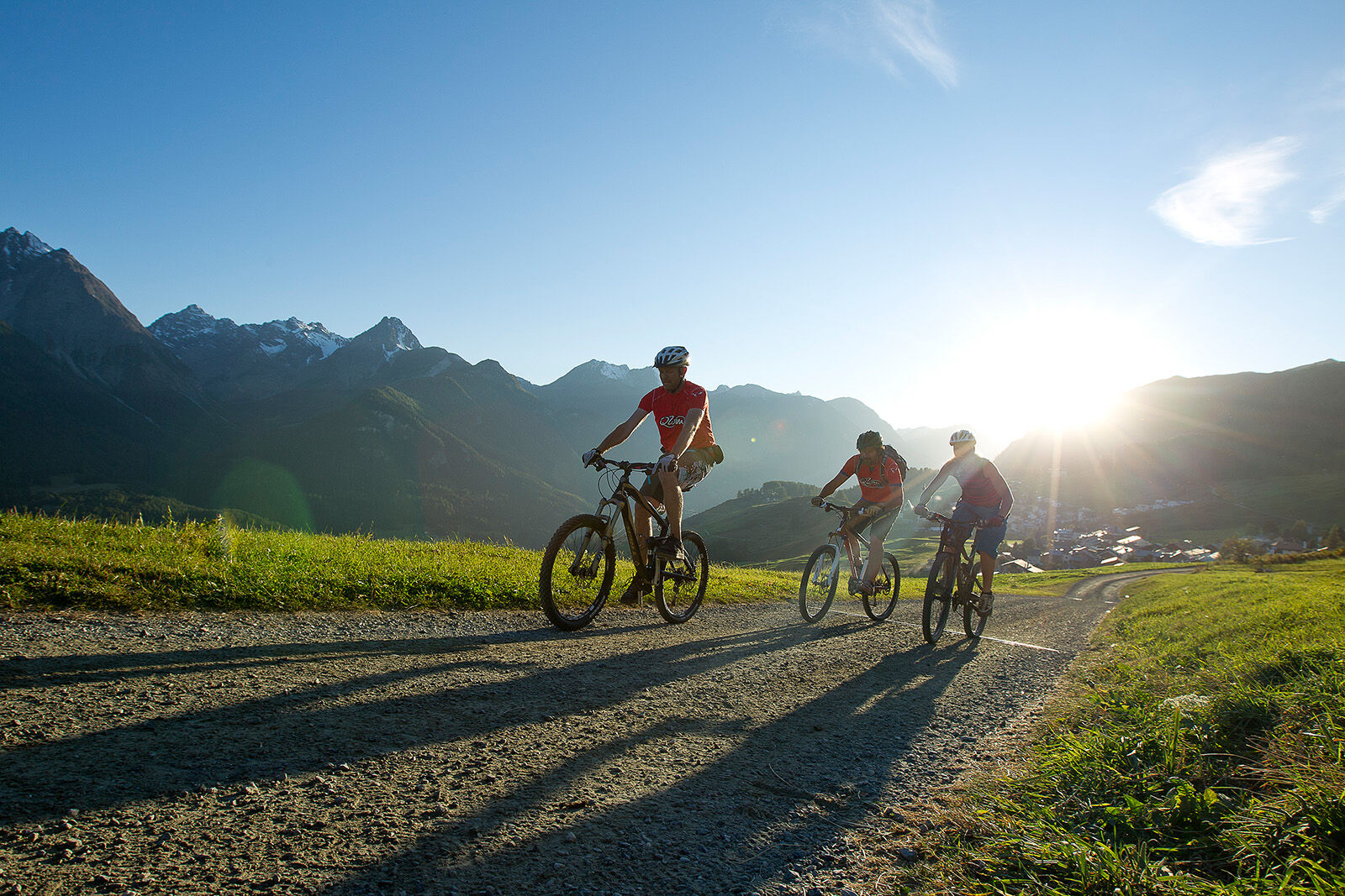
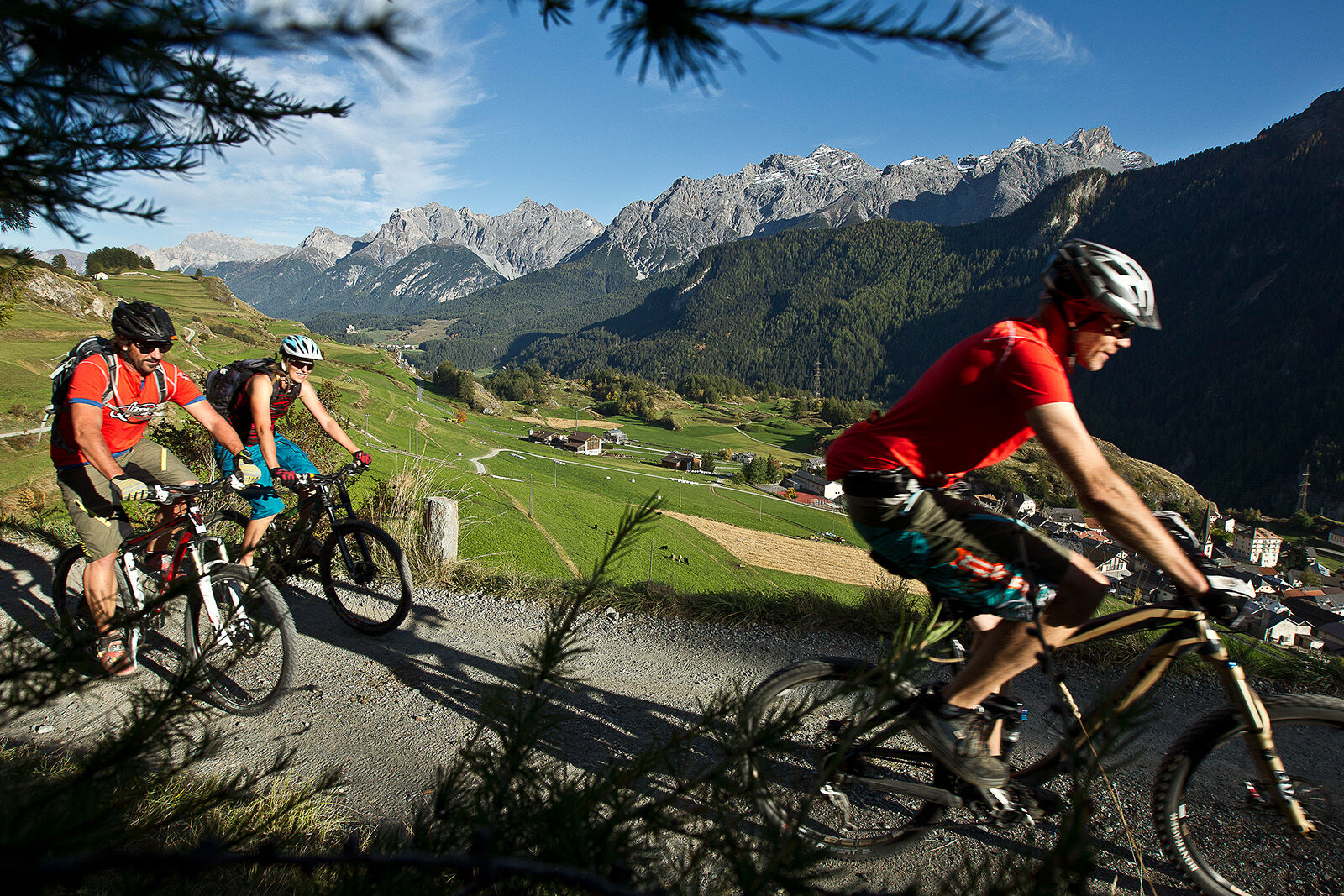
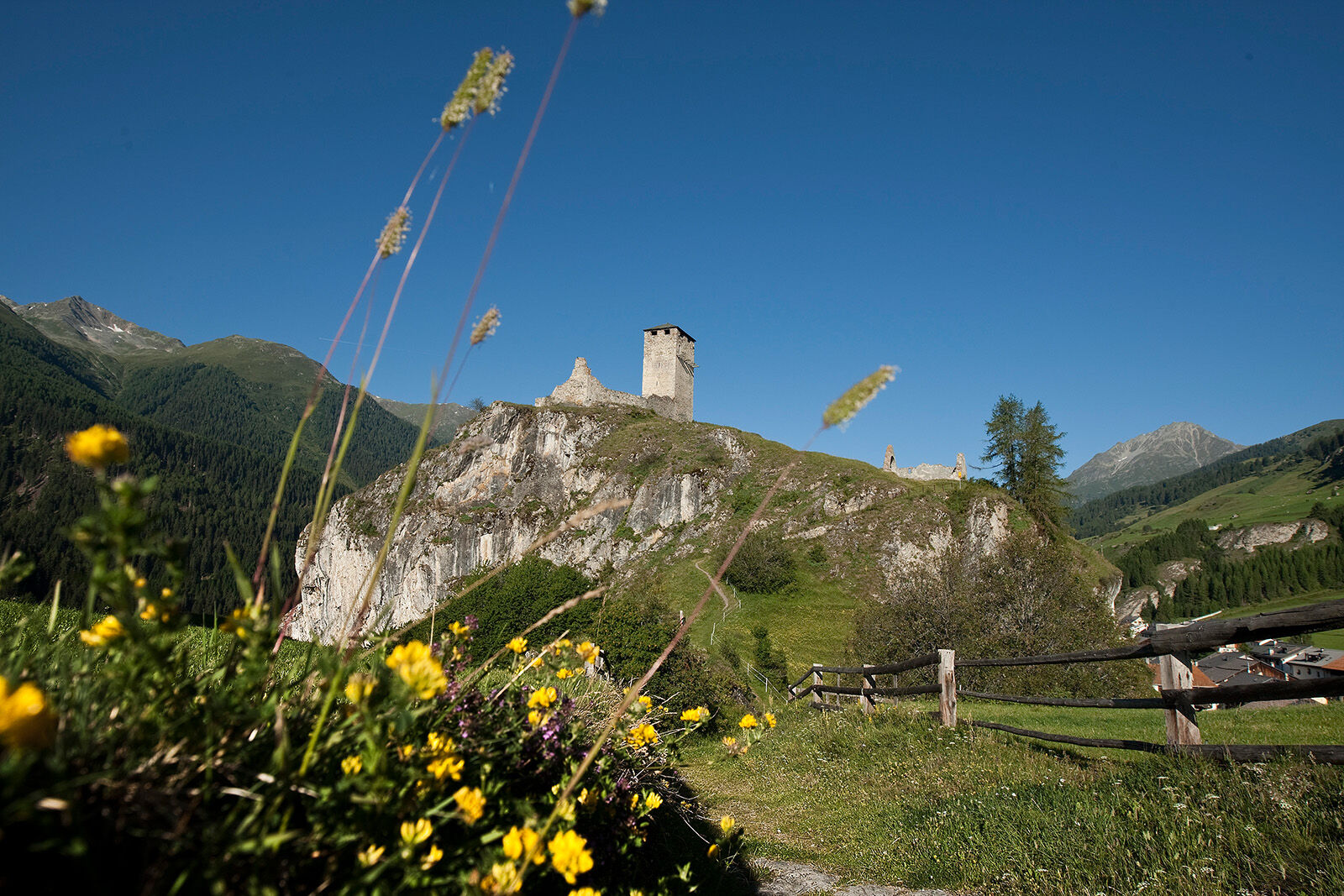
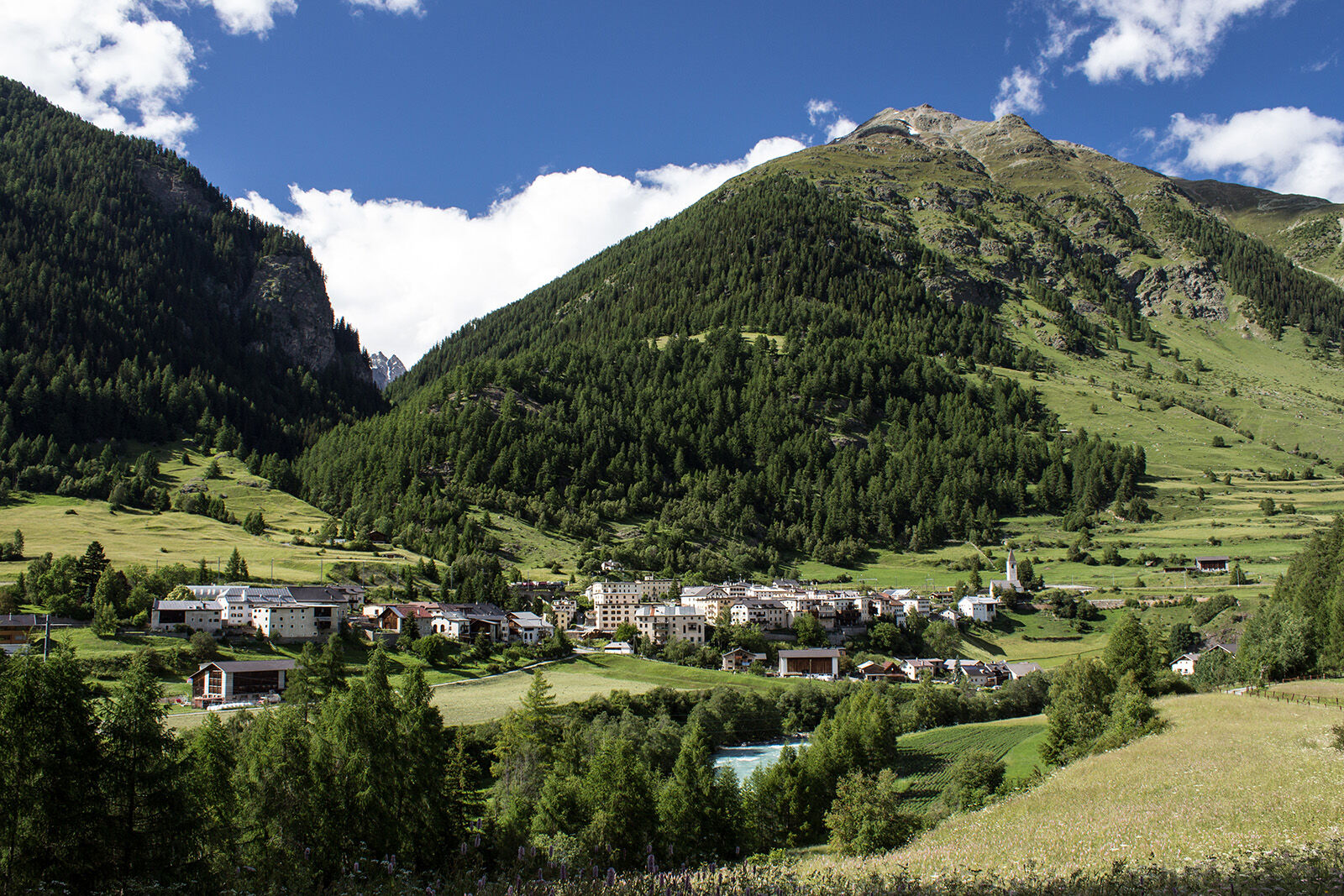
At the eastern edge of the village of S-chanf towards Zernez. Constantly on the left side of the Inn, repeatedly ascending and descending toward Zernez. Here, after the covered wooden bridge at Spöl, the Ofen Pass road is crossed and the short counterclimb over Plej is mastered. Past the church, the path returns to the forest, following the Inn further to Susch and Lavin. The route follows the right bank of the Inn before crossing it at Ardez. The village is passed through before the final climb over the ruins of Chanoua, past the valley entrance to Val Tasna, to Ftan is tackled. From Ftan, a singletrail leads to Nairs, from where a final section follows the Inn before the last climb to Scuol awaits.
Alternatively, from Ftan Route 444 (National Park Bike Marathon) follows the hillside to Scuol.
Da
Helmet, gloves, good footwear, glasses, rain and sun protection, water bottle, repair kit, first aid kit
The route was evaluated under favorable weather conditions; current weather conditions and forecasts must be strictly observed before starting the route. This route requires a high level of riding safety, balance, and technical skill.
Emergency numbers:
144 Emergency, first aid
1414 Mountain rescue REGA
112 International emergency number
Please show consideration when crossing and overtaking hikers. The Graubünden mountain bike routes largely run on singletrails, which are also marked as hiking paths. Hikers generally have the right of way.
S-chanf lies directly on the Engadin road H27 (25 minutes from the Vereina South Portal)
Hourly by the Rhaetian Railway (from Chur, Landquart/Prättigau, or from the Lower Engadin) to S-chanf
Paid public parking at the start and at the destination.
S1
Spletne kamere s turneje
-
Motta Naluns
-
Scuol
-
Nationalparkzentrum Zernez
-
Bos-cha
-
Schloss Tarasp
-
Ftan Prui
-
Nationalparkzentrum Zernez
-
Zernez
-
Hotel Belvédère
-
Motta Naluns
-
Motta Naluns
-
Motta Naluns
-
Motta Naluns
-
Motta Naluns
-
Motta Naluns
-
Ftan
-
Zuoz
-
Zuoz - Engadin Golf
-
Bos-cha
-
Bos-cha
-
Bos-cha
-
Bos-cha
-
Nationalparkzentrum Zernez
-
Sent
-
Ftan
-
Tarasp - Engadin
-
Ardez - Engadin
-
Sent
-
Mot da Ri
-
Mot da Ri
-
Mot da Ri
-
Mot da Ri
-
Mot da Ri
Priljubljeni izleti v okolici
-
4.9
Jöriseen
srednjaPohodništvo 11.3 km -
4.5
Tarasp Fontana – Sparsels – Lai Nair (circular route)
svetlobaPohodništvo 7.67 km -
Flüelapass – Schwarzhorn (return)
srednjaPohodništvo 7.92 km -
4.0
National Park: Margunet
svetlobaPohodništvo 7.76 km -
4.8
National Park: Grimmels (circular hike)
svetlobaPohodništvo 6 km -
4.0
Prui – Piz Clünas – Alp Laret – Ftan
srednjaPohodništvo 13.6 km -
5.0
Fluela Schwarzhorn 3147 m
svetlobaVisokogorska tura 7.34 km -
Piz Buin Gipfel
srednjaVisokogorska tura 10.4 km -
National Park: Chamanna Cluozza
srednjaPohodništvo 8.37 km -
5.0
National Park: Murtaröl
težkoPohodništvo 15.6 km
Pohodništvo in sledenje


Ne zamudite ponudb in navdiha za naslednje počitnice
Vaš e-poštni naslov je bil dodan na poštni seznam.