







442 Engiadina Bassa (Complete pm)

Stopnja težavnosti: S0
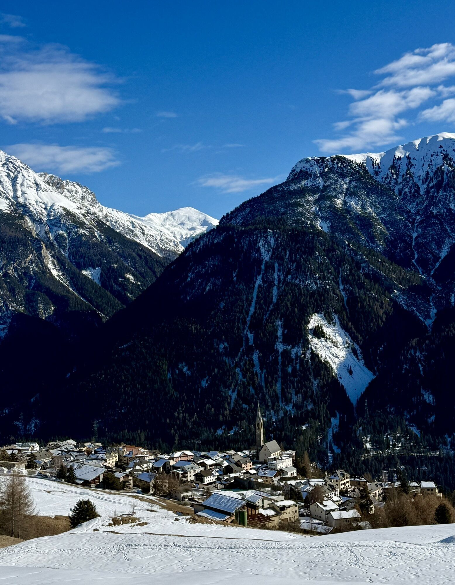
Stage 1: Susch – Ftan
After a leisurely start, the route continuously increases in physical demand. From here the path rises gently up to Sur En d'Ardez. Here an impressive panoramic view opens up over...
Stage 1: Susch – Ftan
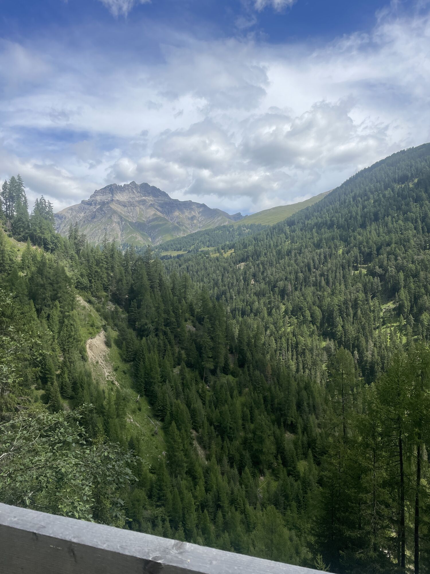
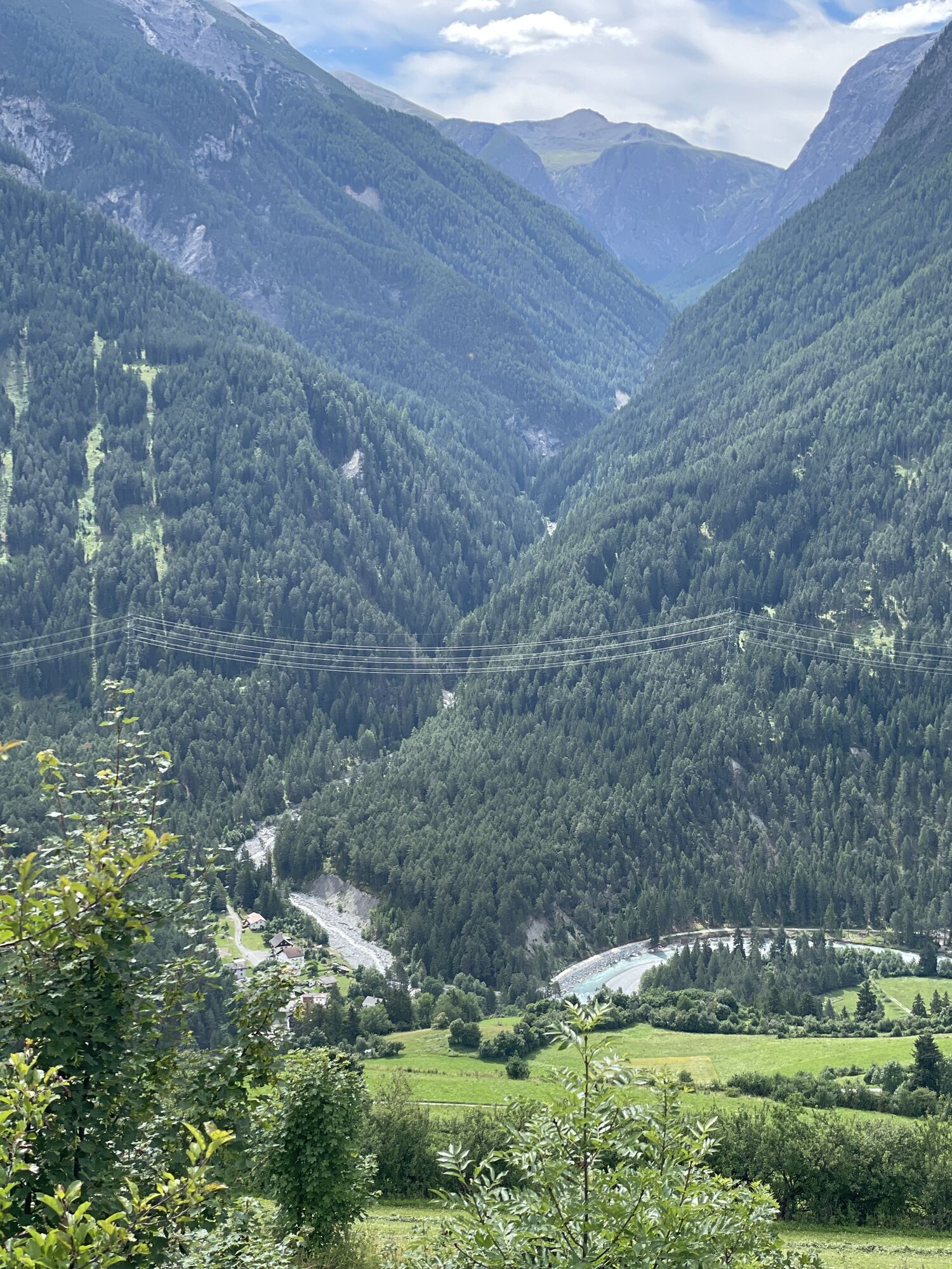
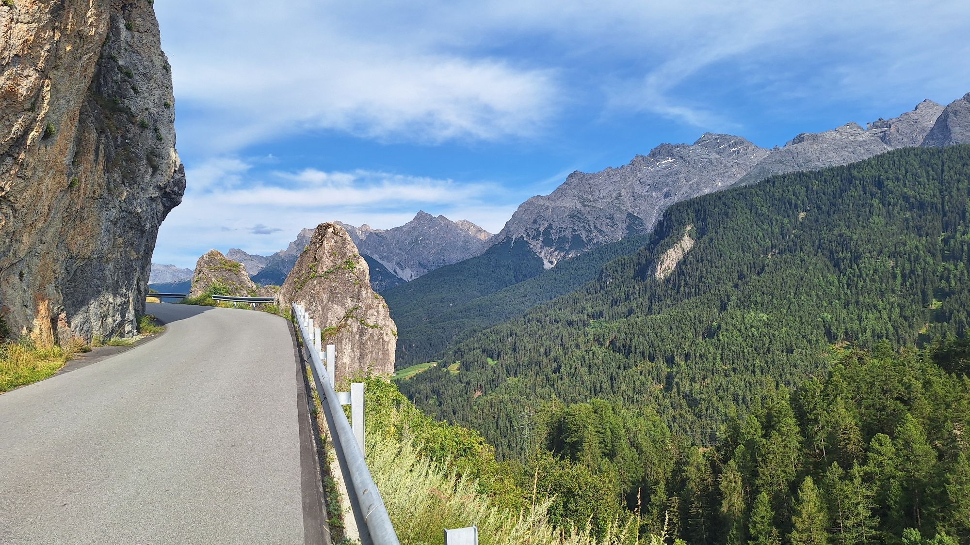
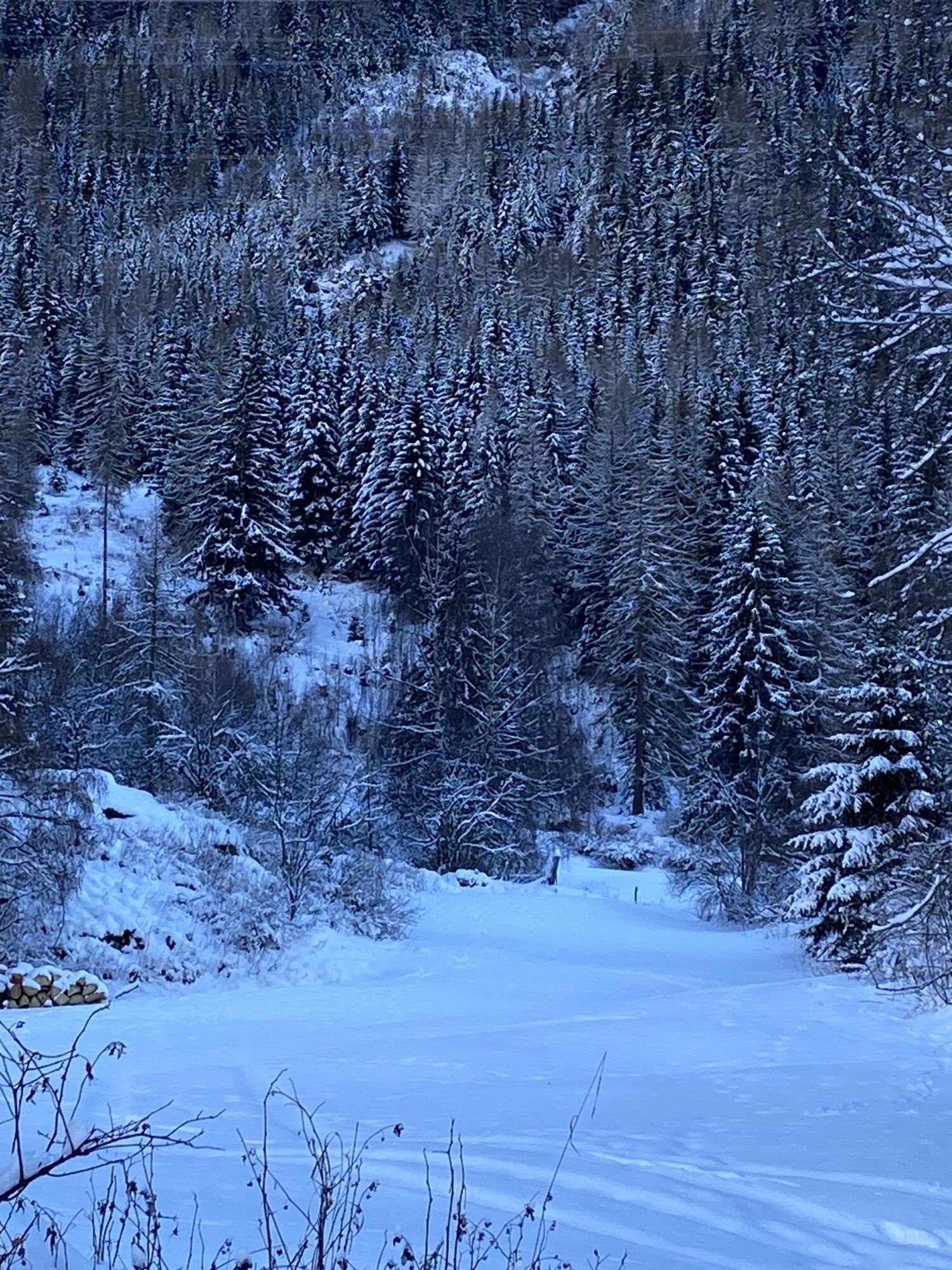
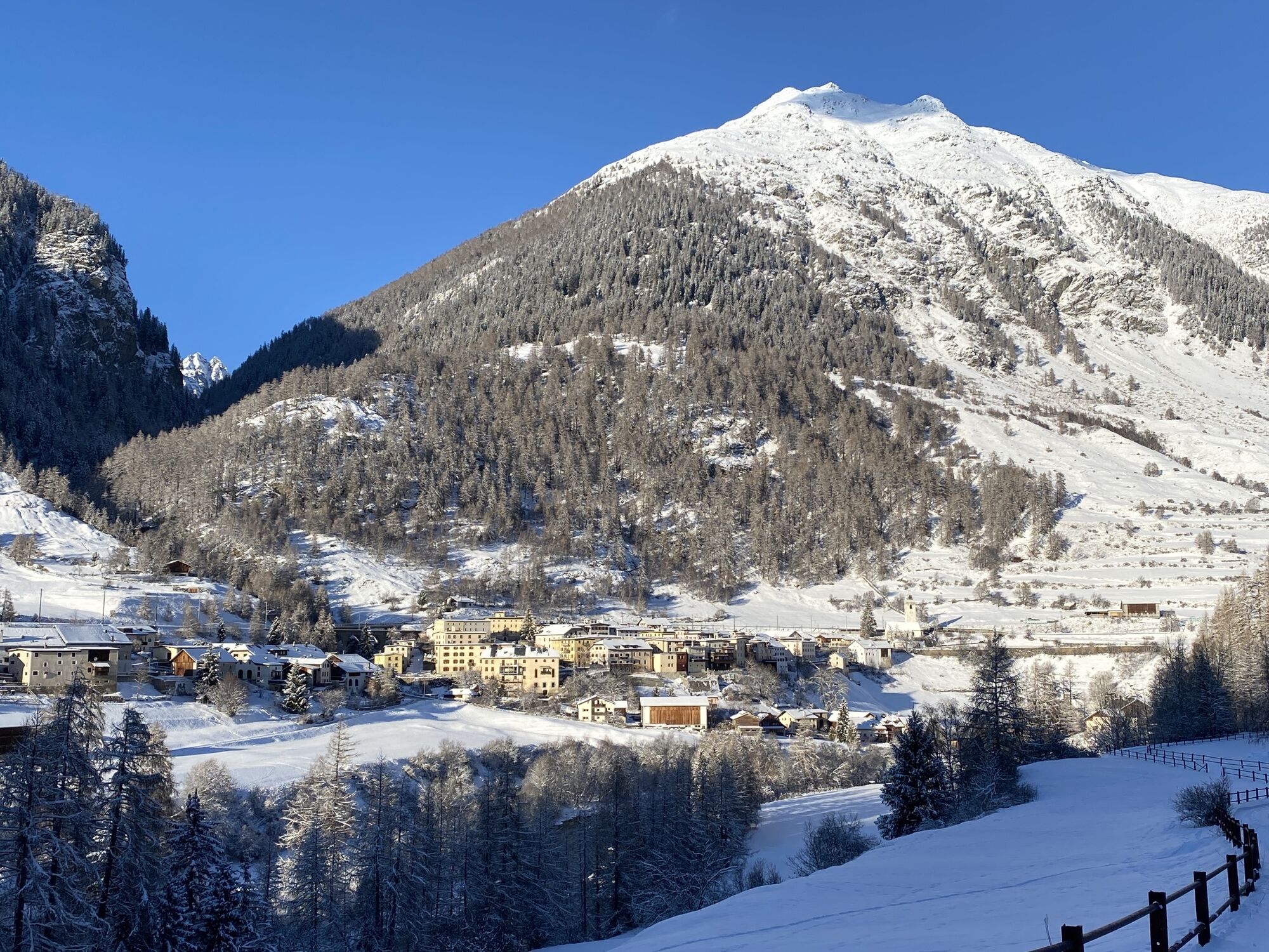
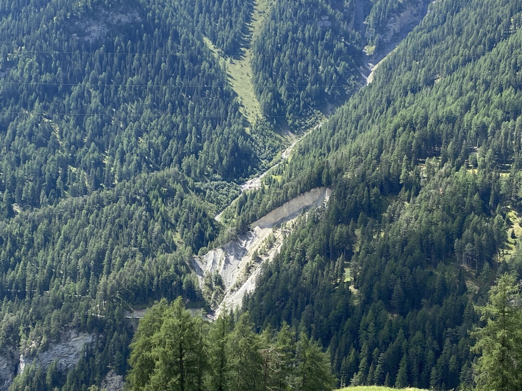
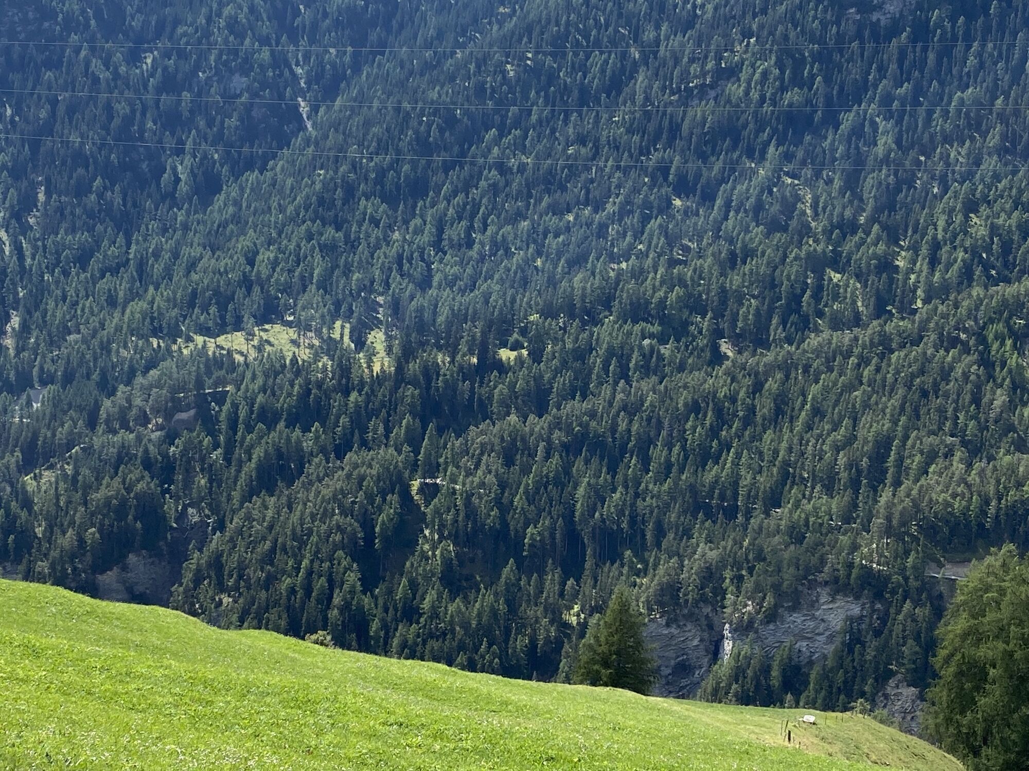
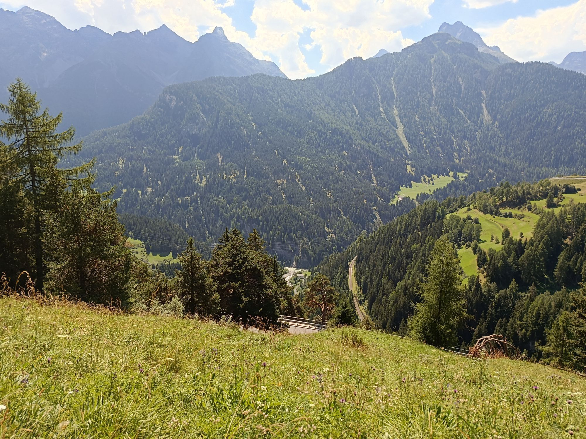
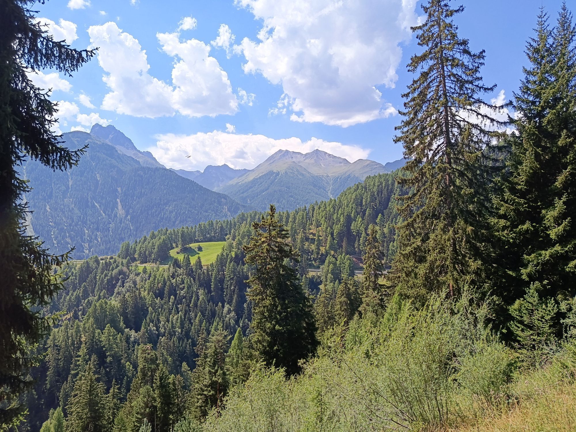
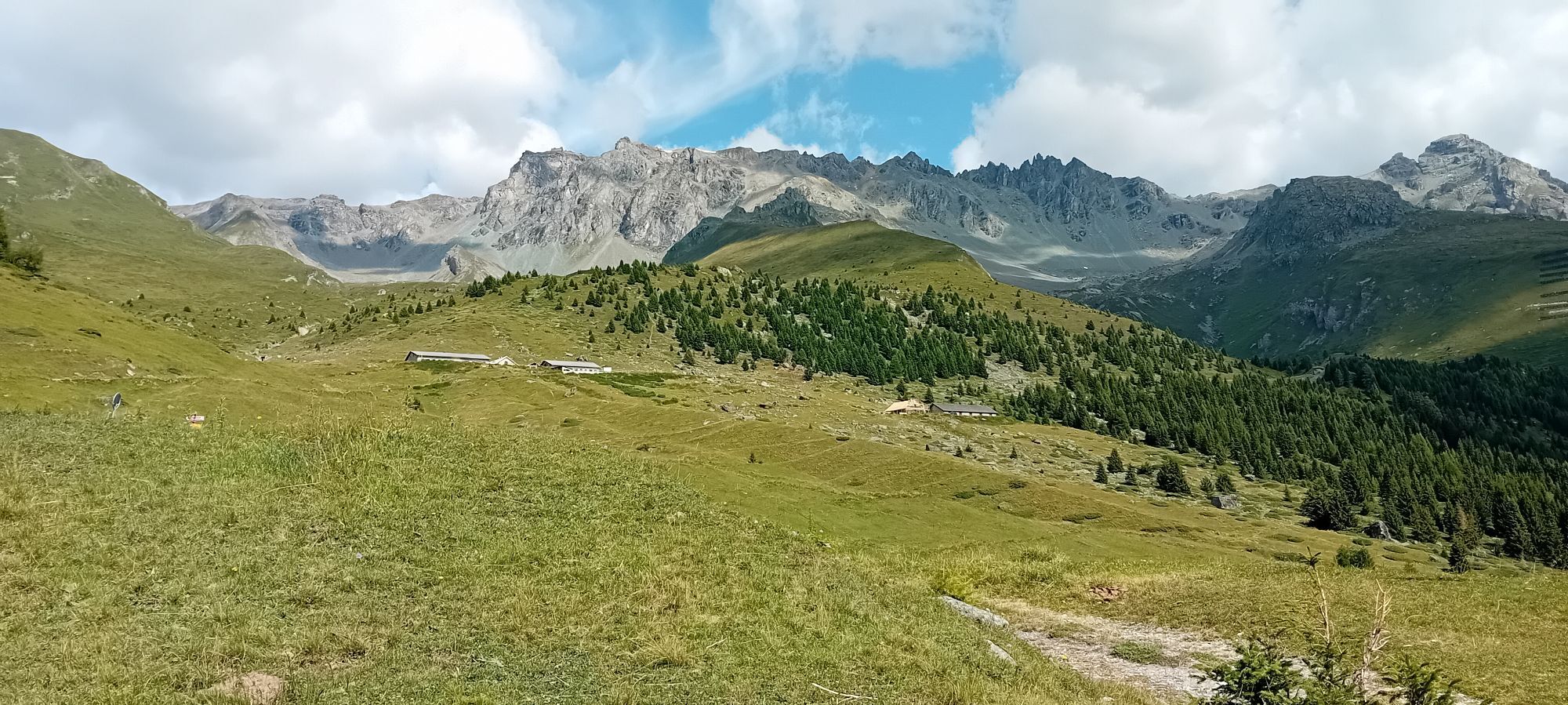
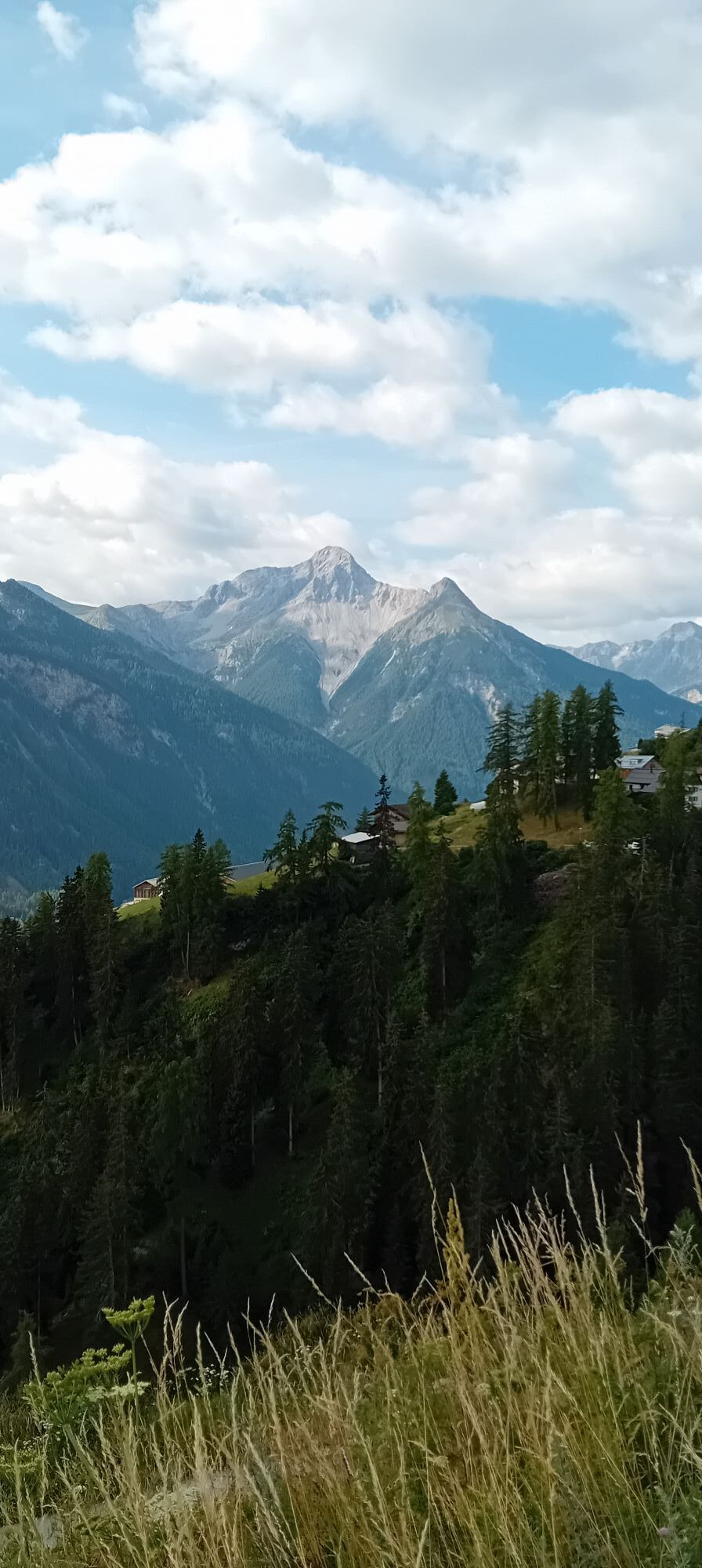
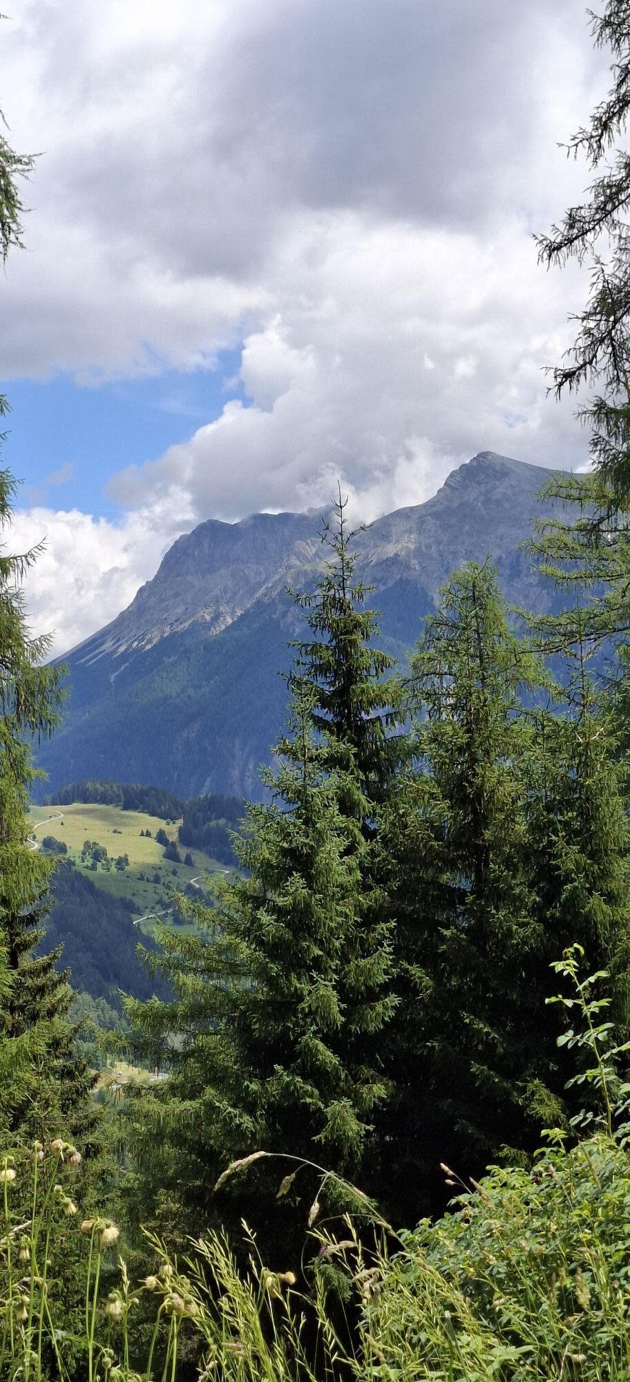
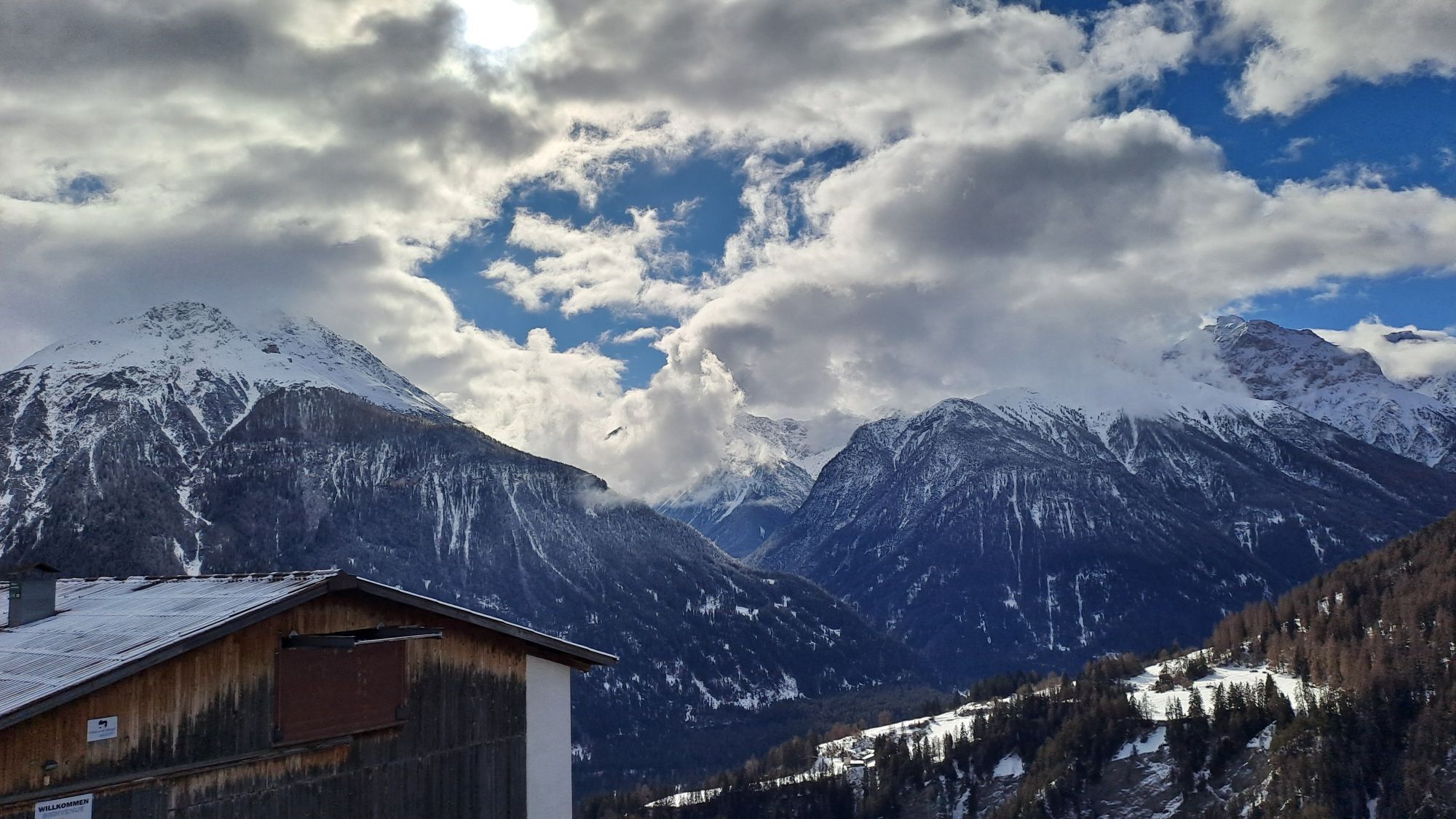
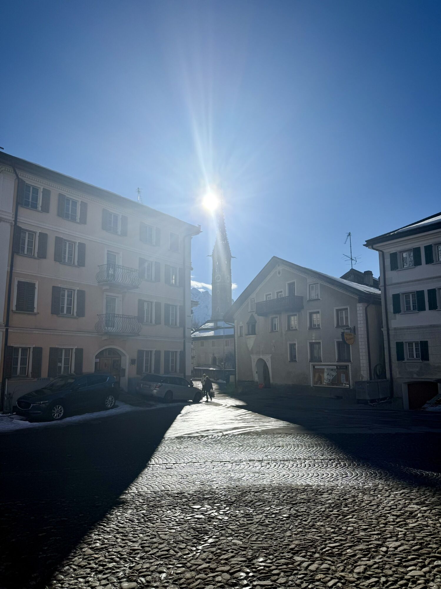
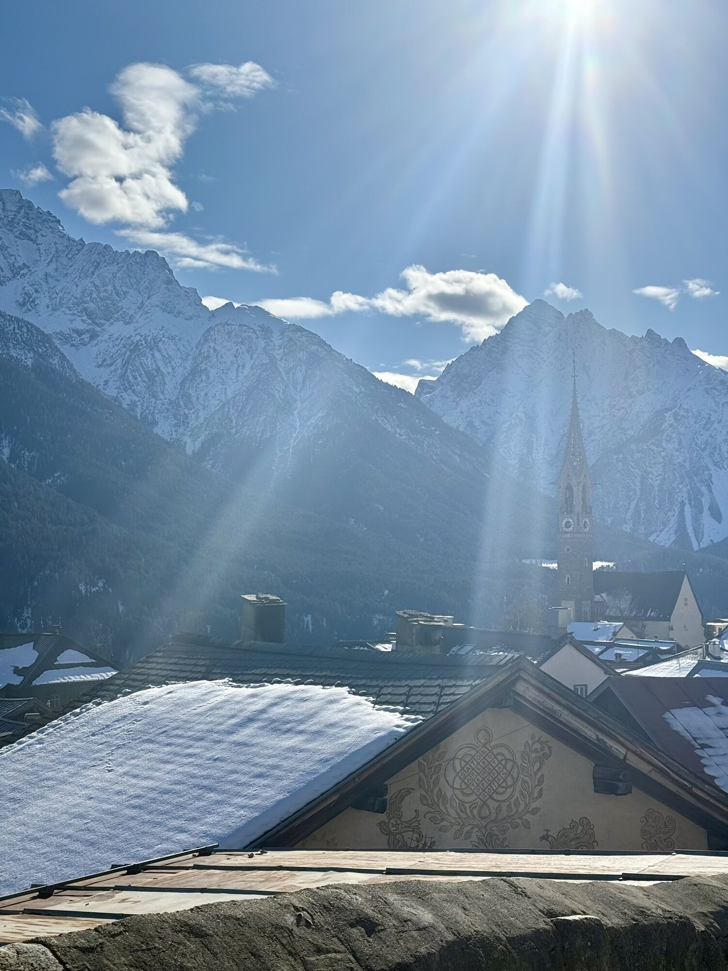
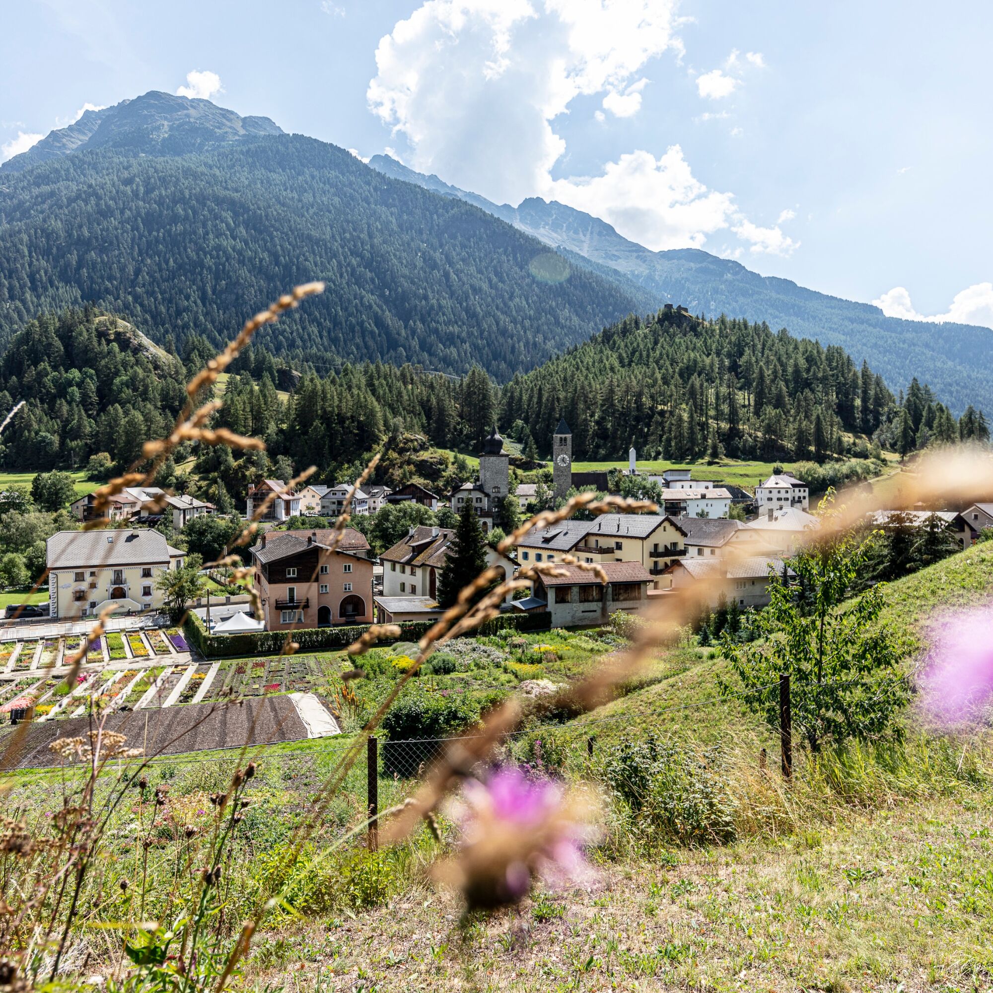
After a leisurely start, the route continuously increases in physical demand. From here the path rises gently up to Sur En d'Ardez. Here an impressive panoramic view opens up over Guarda to the northwest, Bos-cha, Munt and Ardez at the foot of the Steinsberg castle ruins to the north, and Tarasp with its striking castle to the east. After crossing the Inn river follows a long steady climb to Ftan.
Stage 2: Ftan – Ramosch
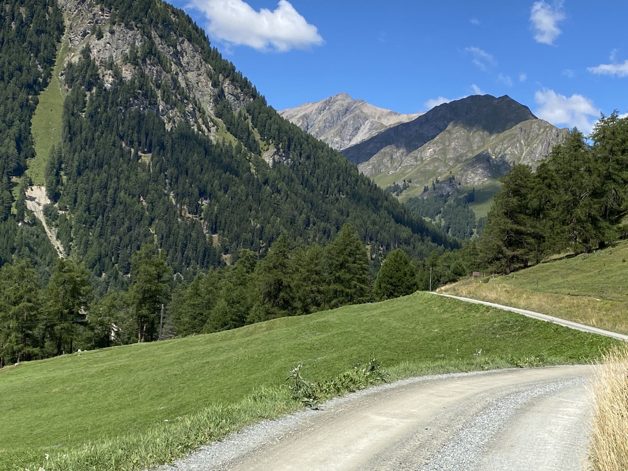
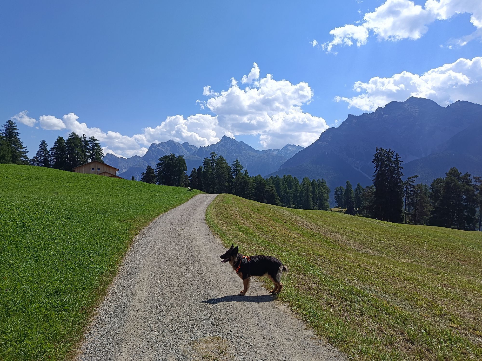
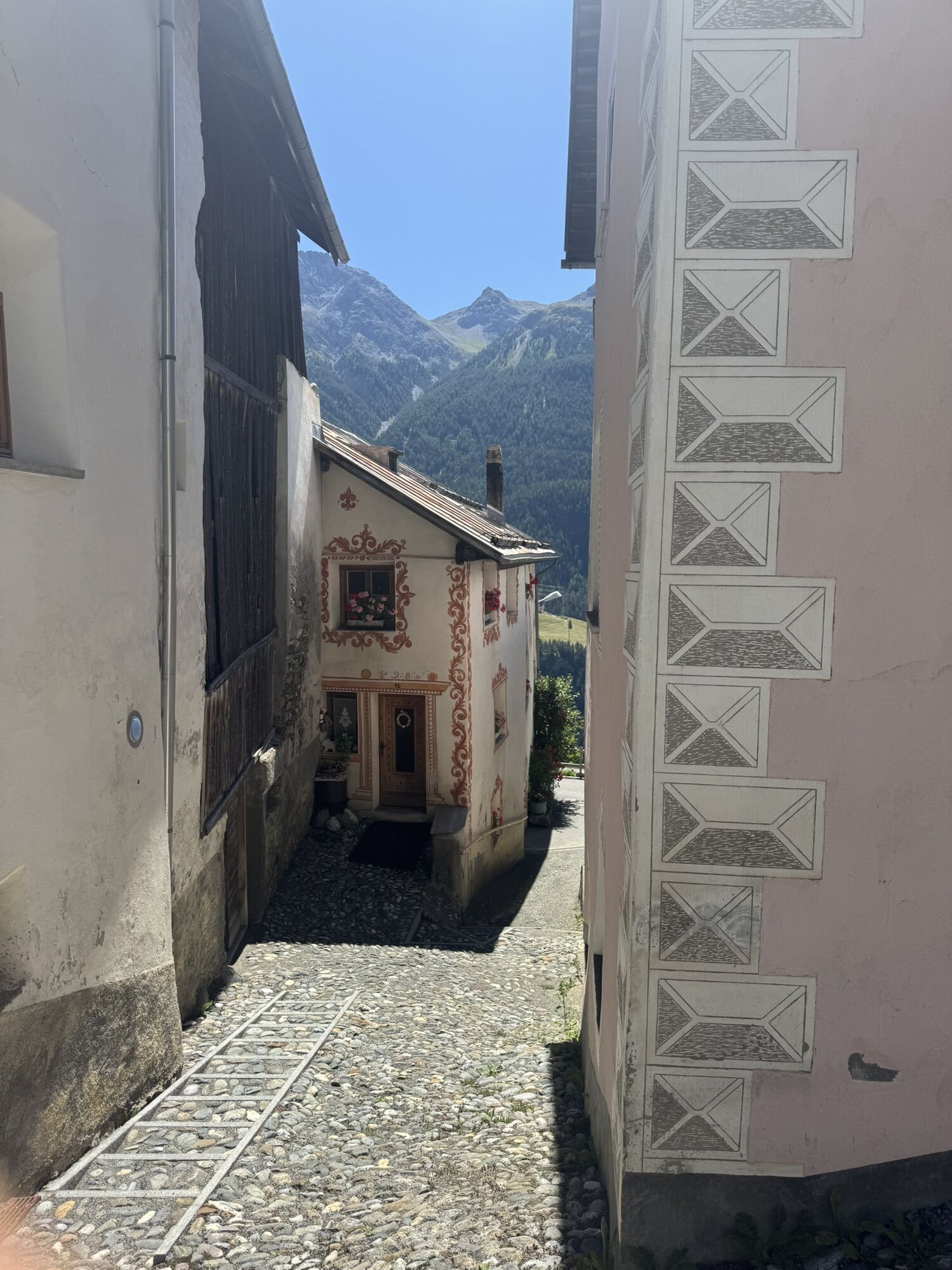
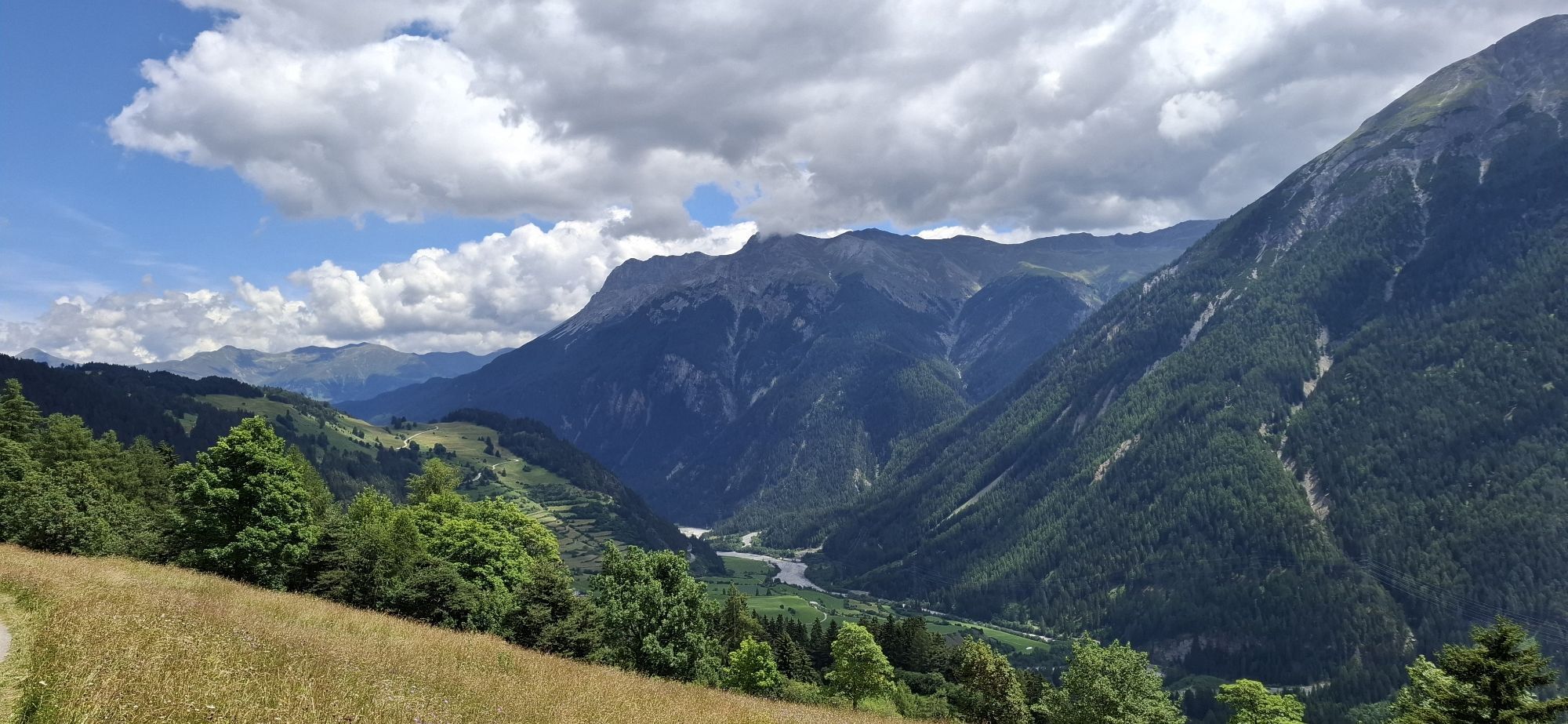
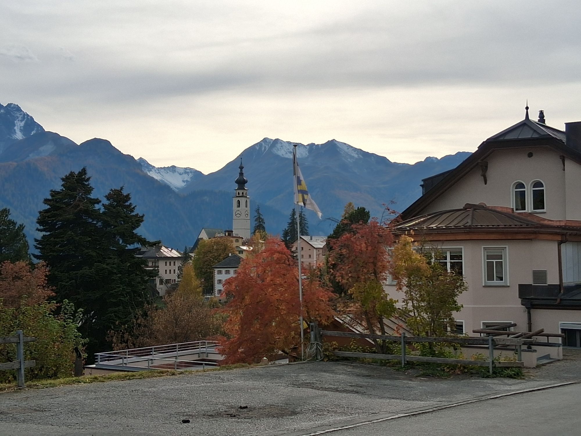
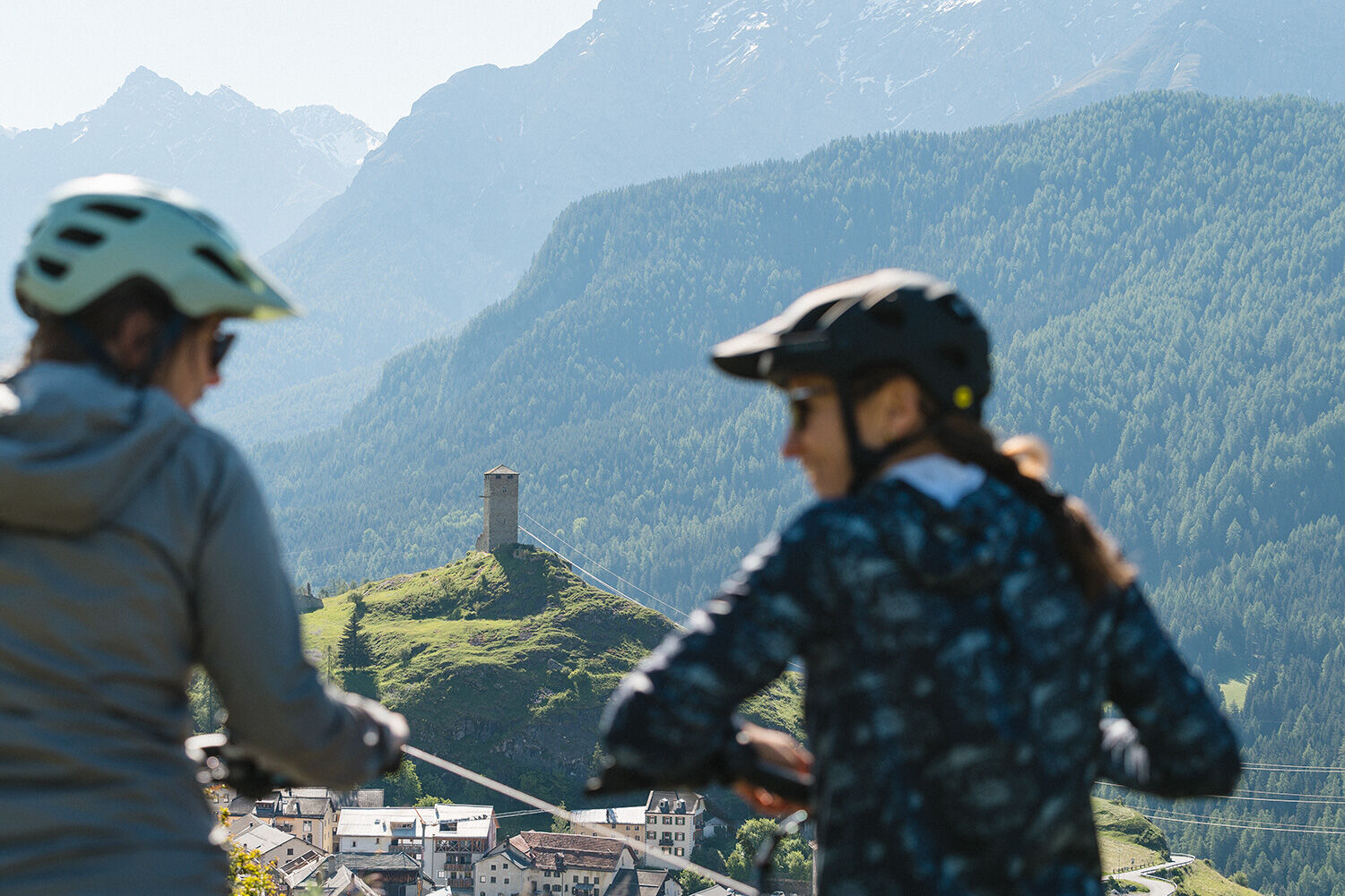
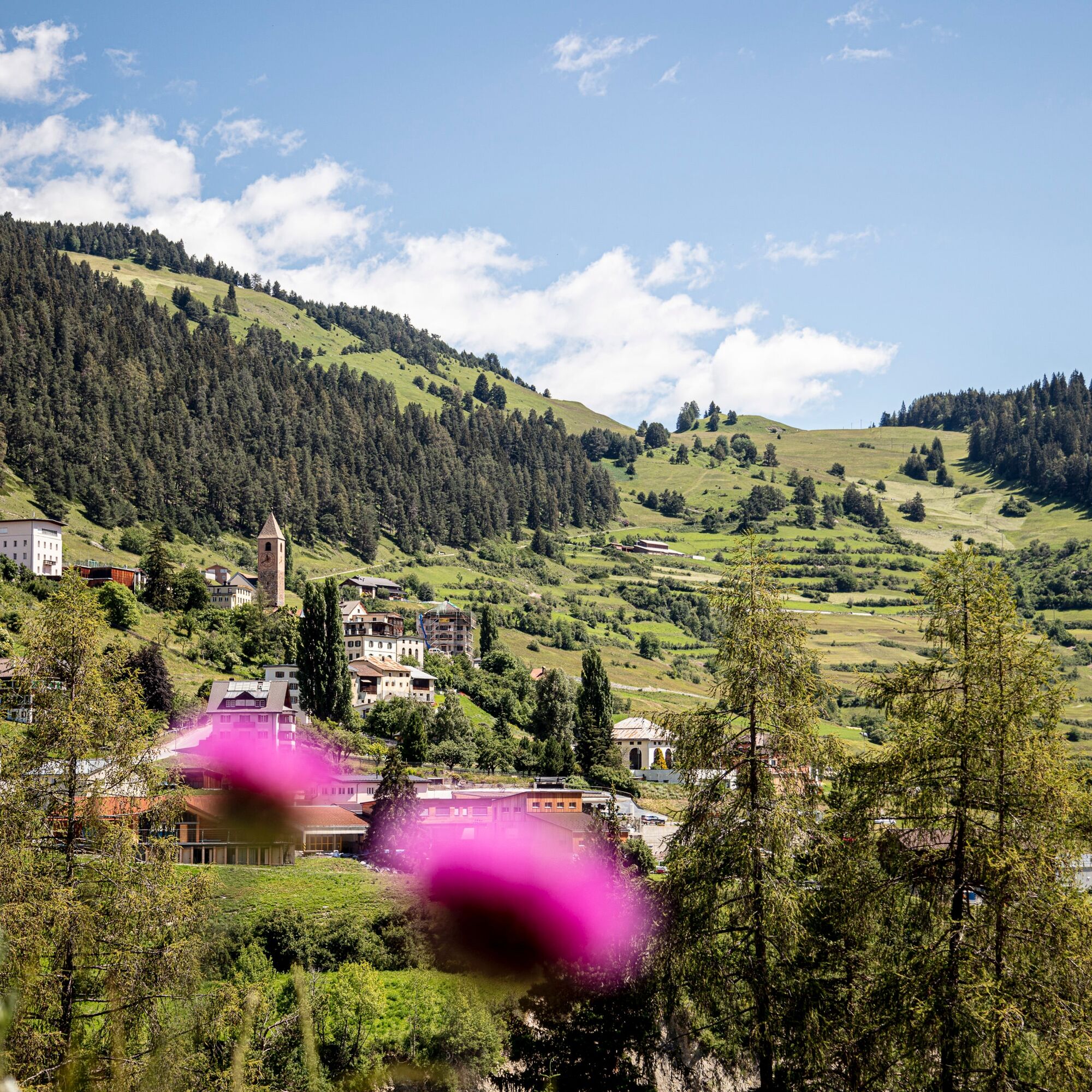
The second stage is full of many views. At the start, the proud Tarasp Castle at the base of the Lower Engadine Dolomites dominates the panorama. Later, individual Lower Engadine villages Scuol, Sent, Vnà and Ramosch appear repeatedly on the horizon and in the distance, all of which are passed on the route.
Stage 3: Ramosch – Martina
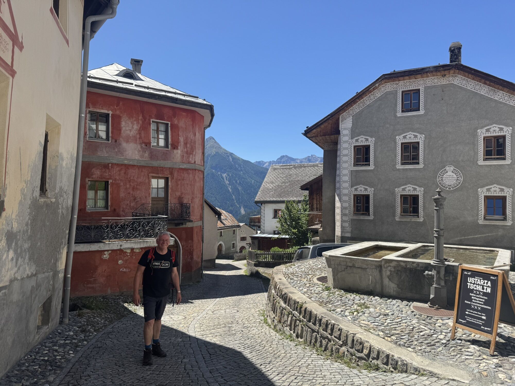
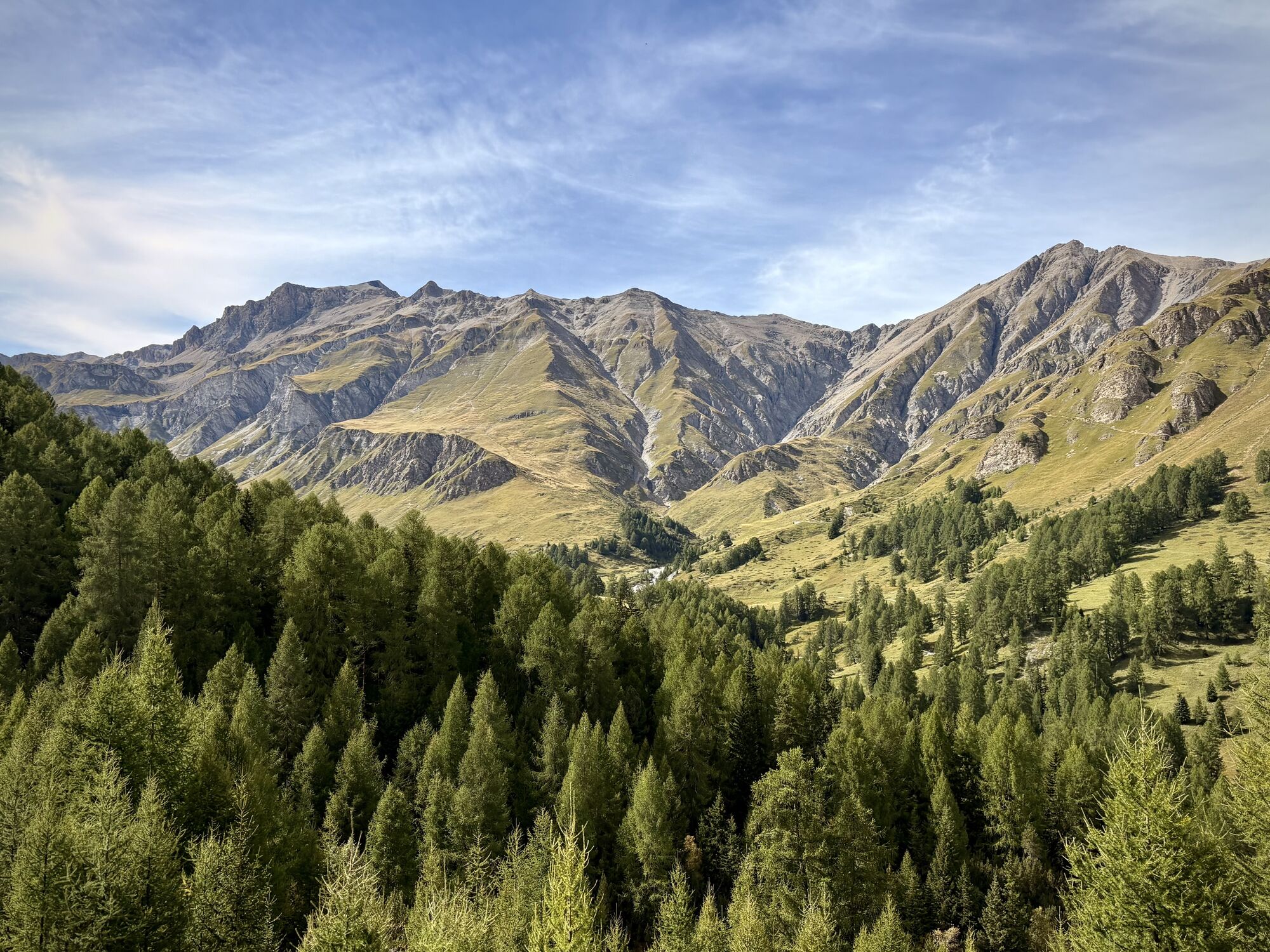
Sunny final stage of the regional bike route 442, which convinces with its terrace landscapes, the village of Tschlin high above the Inn, and the fast descent to the national border.


Da
Helmet, gloves, good footwear, glasses, rain and sun protection, water bottle, repair kit, first aid kit
The route was rated under favorable weather conditions; current weather conditions and forecasts must be strictly observed before starting the ride. This route requires a high level of riding safety, balance, and technical riding skills.
Emergency numbers:
144 Emergency call, first aid
1414 Mountain rescue REGA
112 International emergency call
Consideration for hikers: The Graubünden mountain bike routes run largely on single trails also marked as hiking trails. Hikers always have right of way.
From the north: via Landquart – Klosters by car shuttle through the Vereina tunnel (Selfranga - Sagliains) or over the Flüela Pass into the Lower Engadine on H27
From the east: via Landeck / Austria towards St. Moritz on H27
From the south: via Reschen Pass (Nauders-Martina) or Ofen Pass (Val Müstair-Zernez) on H27
Susch is located directly at the Flüela Pass and on the Engadine road H27 (5 minutes drive from Vereina south portal)
Accessible by train and bus
By Rhaetian Railway (hourly from Chur, Landquart/Prättigau, Upper Engadine or from Scuol to Susch station
Paid parking at the train station in Susch
S0
As an additional route, the circular route in Ftan can be ridden. Challenging single trails at the loop to Alp Laret make stage 1 of the Regional Bike Route Engiadina Bassa 442 even more attractive.
Spletne kamere s turneje

Priljubljeni izleti v okolici
-
4.3
Panoramaweg Schöneben Haider Alm
svetlobaPohodništvo 5.78 km -
4.7
Jamtal lodge
srednjaPohodništvo 19.6 km -
5.0
Samnaun Dorf – Muttler
težkoPohodništvo 14.8 km -
3.6
Nauders - Bergkastel - Plamort - Reschen - Nauders
srednjaMountainbike 20.9 km -
4.5
Rundwanderweg Wattles und Sesvenna
svetlobaPohodništvo 16.4 km -
4.8
Plamort
svetlobaPohodništvo 8.25 km -
4.8
NAUDERS | Grenzüberquerung
svetlobaPohodništvo 7.41 km -
5.0
3 Länder Tour Uinaschlucht MTB
težkoMountainbike 74.6 km -
4.7
Bergwanderung Schlinig -Seswenahütte
srednjaPohodništvo 13.6 km -
4.5
Tarasp Fontana – Sparsels – Lai Nair (circular route)
svetlobaPohodništvo 7.67 km
Pohodništvo in sledenje


Ne zamudite ponudb in navdiha za naslednje počitnice
Vaš e-poštni naslov je bil dodan na poštni seznam.





