


Mangart (2,678 m) - Via Ferrata Italiana
Stopnja težavnosti: C
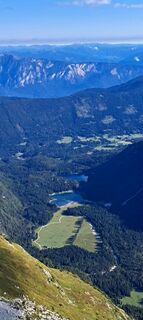
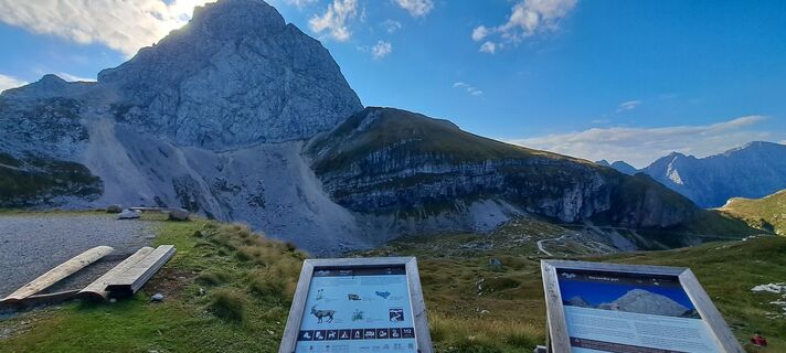
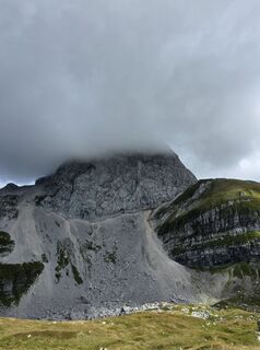
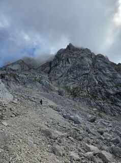
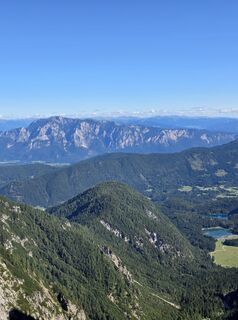
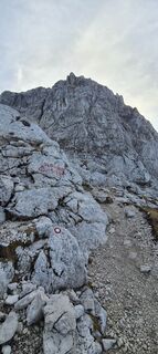
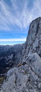
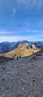
Fotografije naših uporabnikov
-

 © Ales GrmsekUstvarjeno na 06.09.2025
 -
 © Ales GrmsekUstvarjeno na 06.09.2025
 -
 © Ales GrmsekUstvarjeno na 06.09.2025
 -
 © Ales GrmsekUstvarjeno na 06.09.2025
 -
 © Florian DürneggerUstvarjeno na 31.08.2025
 -
 © Florian DürneggerUstvarjeno na 31.08.2025
 -
 © Florian DürneggerUstvarjeno na 31.08.2025
 -
 © Martina OitzingerUstvarjeno na 09.11.2024
 -
 © Martina OitzingerUstvarjeno na 09.11.2024
 -
 © Martina OitzingerUstvarjeno na 09.11.2024
 -
 © Martina OitzingerUstvarjeno na 09.11.2024
 -
 © GrzybekUstvarjeno na 15.08.2023
 -
 © Rebeka PákozdiUstvarjeno na 19.08.2025
 -
 © Rebeka PákozdiUstvarjeno na 19.08.2025
 -
 © Rebeka PákozdiUstvarjeno na 19.08.2025
 -
 © Mojca J.Ustvarjeno na 16.08.2025
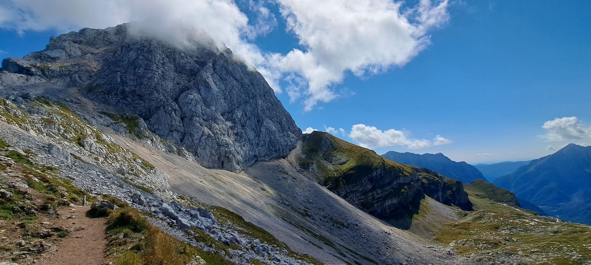
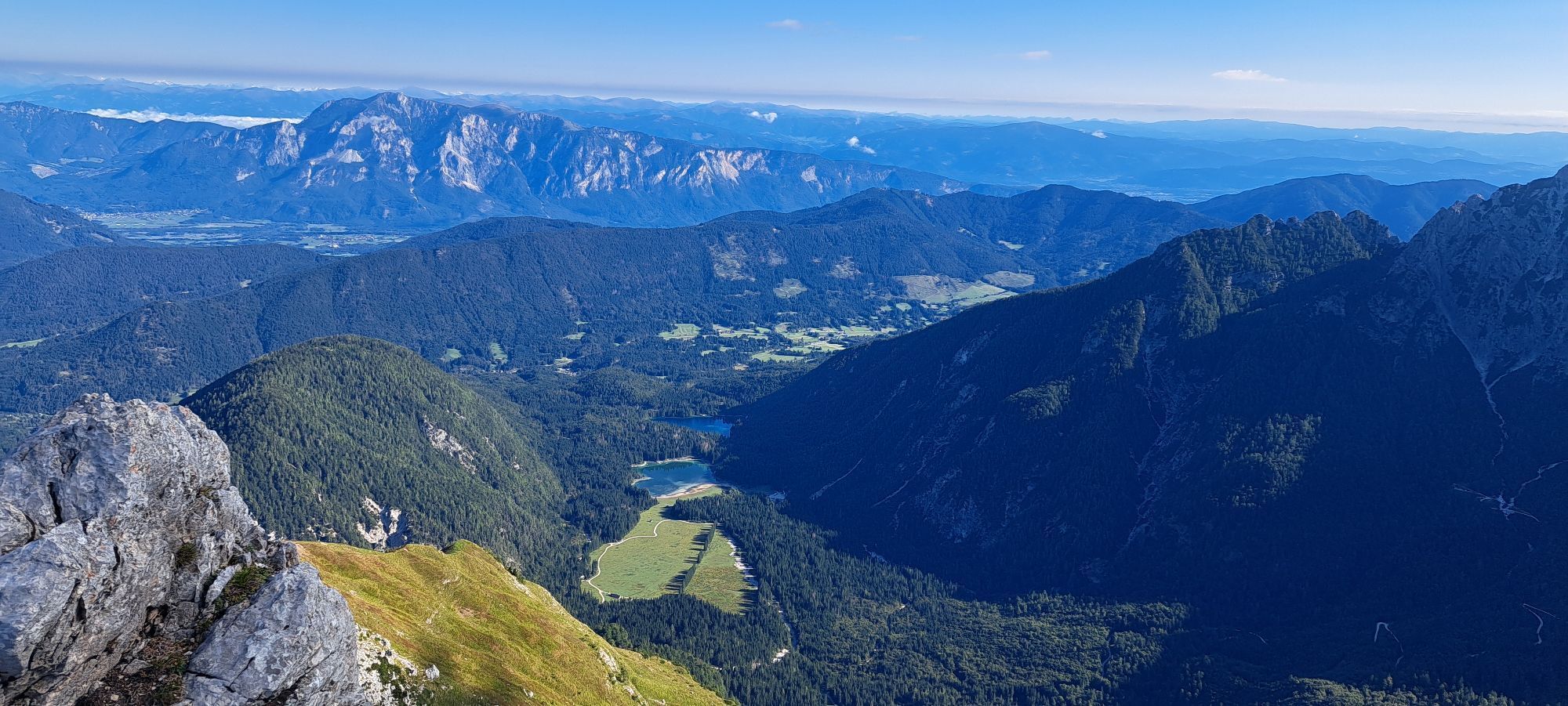


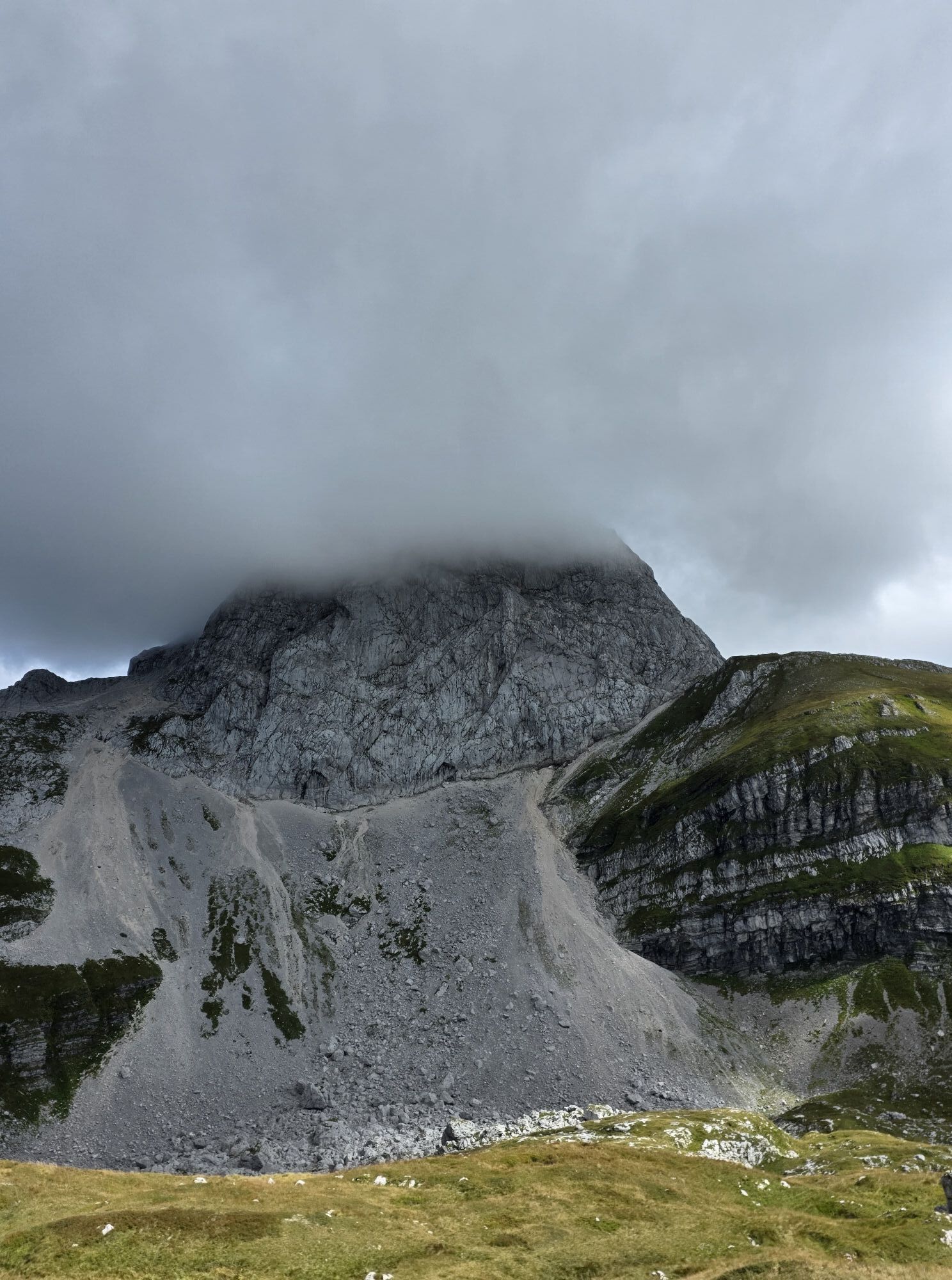
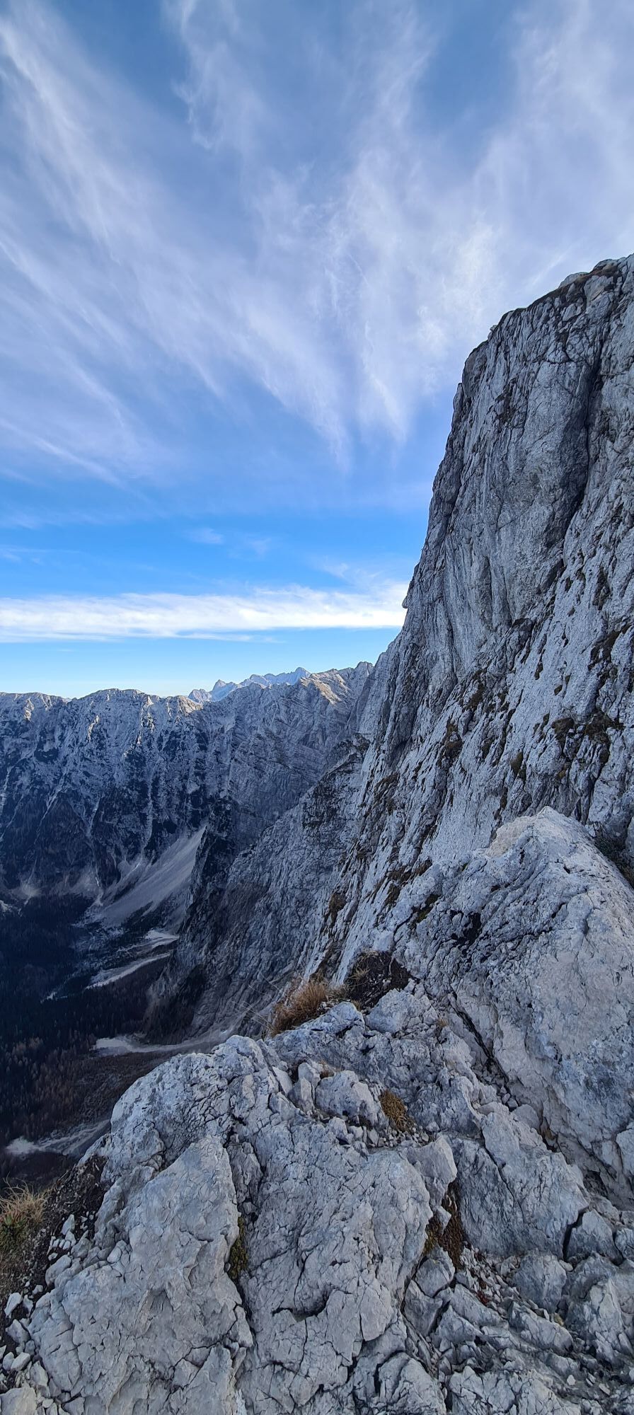


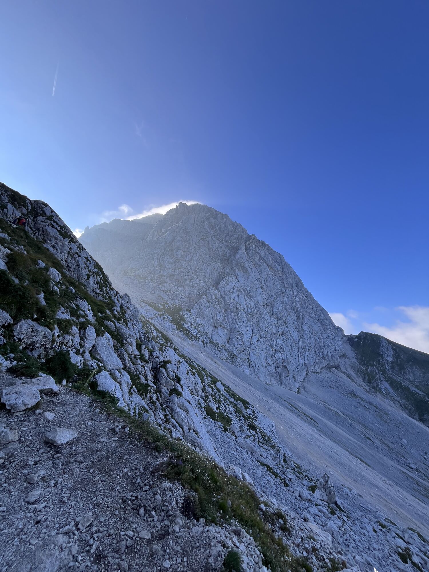
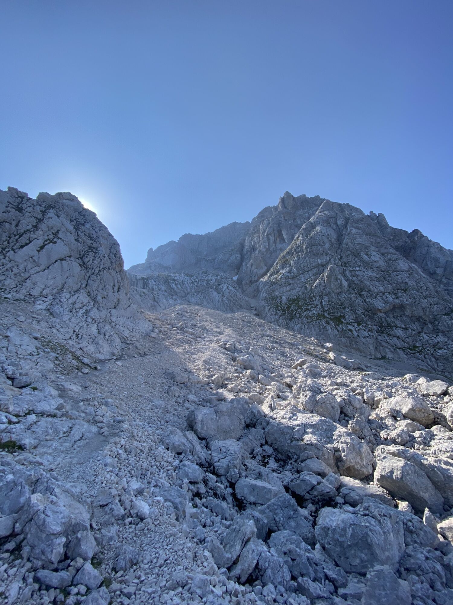
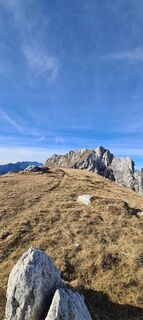
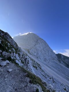
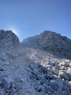
The Via Ferrata Italiana is an ambitious via ferrata leading from the Italian side onto the Mangart towards Slovenia. The via ferrata Ferrata Slovena completes the via ferrata tour on the Mangart. However,...
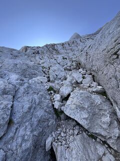
The Via Ferrata Italiana is an ambitious via ferrata leading from the Italian side onto the Mangart towards Slovenia. The via ferrata Ferrata Slovena completes the via ferrata tour on the Mangart. However, this via ferrata is not mandatory as there is also a normal path to the Mangart. The Via Ferrata Italiana is a partly very exposed via ferrata that requires some strength and a sure head. Sometimes instead of a massive steel cable, there is only a rather thin aluminum cable.

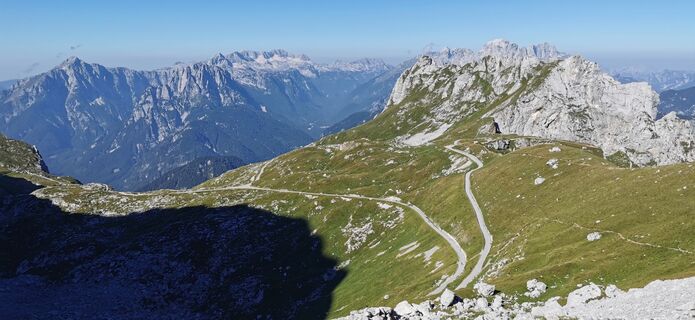
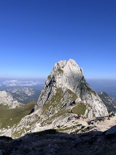
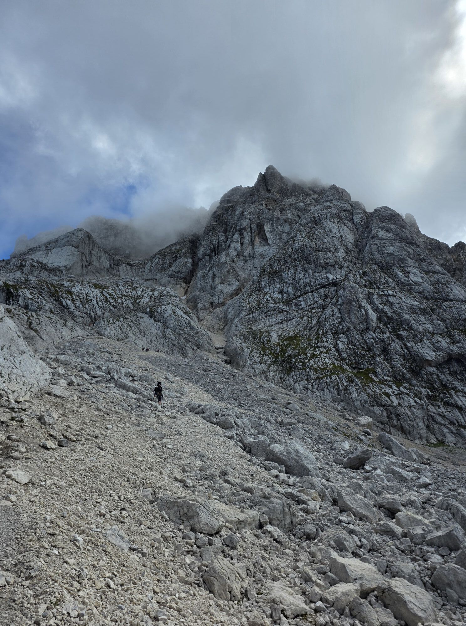
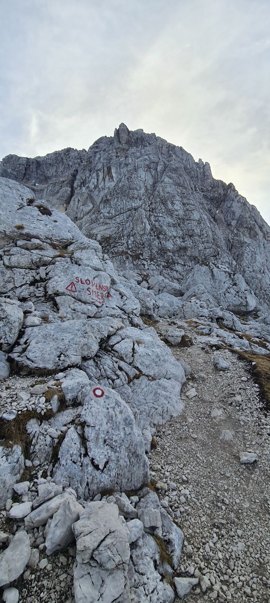
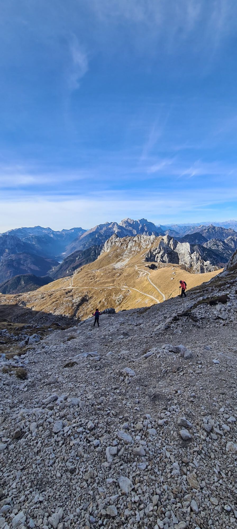
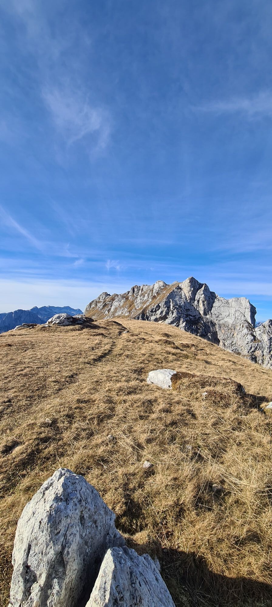
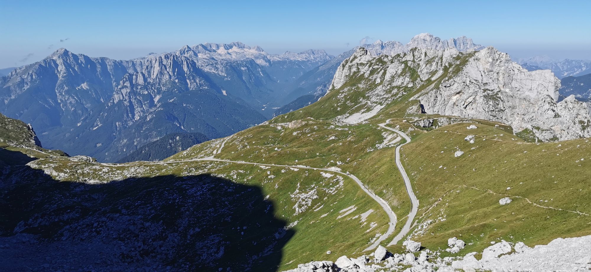
From the highest car park, ascend to Forcella Mangart and on the north side of the notch follow path 517 down to the Bivacco Fratelli Nogara. Pass the bivouac box and follow the red markings to the start. After exiting the Ferrata Slovena, ascend to the summit in a few minutes.
Descent:
From the summit choose the normal path as descent route. This is partly secured with wire ropes. Follow it to the junction at Forcella Mangart and continue along the marked trail until you return to the car park.
Da
Note:
Difficulty rating refers only to the via ferrata itself, without considering the approach and descent.
From Hermagor take the B111 towards Villach. Get on the A2 towards Italy. Exit the motorway at Tarvis and continue on the SS54 via Cave Del Predil to Passo del Predil. Drive up via Mangartstraße to the highest car park.
Information about timetables at: www.nassfeld.at/mobilitaet and www.oebb.at
Parking spaces are available at the starting point.
C
Are you looking for via ferrata tips in the region as well as a state-certified mountain guide for a guided via ferrata tour?
Find this and many other infos at - route tips and provider info
Priljubljeni izleti v okolici
-
4.9
Monte Lussari über den alten Pilgerweg
srednjaPohodništvo 6.43 km -
4.9
Orrido dello Slizza, Tarvisio, Italië
svetlobaPohodništvo 2.65 km -
4.8
Jezera Fusine
svetlobaPohodništvo 5.43 km -
4.4
Krnica Hut
srednjaPohodništvo 14.9 km -
4.5
Monte Lussari
srednjaSmučarska tura 10.7 km -
4.3
Zacchi Wanderung Rundweg
svetlobaPohodništvo 8.85 km -
4.3
Grande Ponza
Via ferrata 9 km -
4.2
Monte Santo di Lussari, Skitour, Pilgerweg
srednjaSmučarska tura 9.35 km -
4.7
Weißenfelser Seen: Fusine in Valromana - Ai Sette Nani - Seealm
srednjaPohodništvo 10.3 km -
4.9
Monte Santo di Lussari / Svete Višarje / Luschariberg - Monte Lussari - Cima del Cacciatore - Rifugio Locanda al Convento
srednjaPohodništvo 5.18 km
Pohodništvo in sledenje


Ne zamudite ponudb in navdiha za naslednje počitnice
Vaš e-poštni naslov je bil dodan na poštni seznam.