


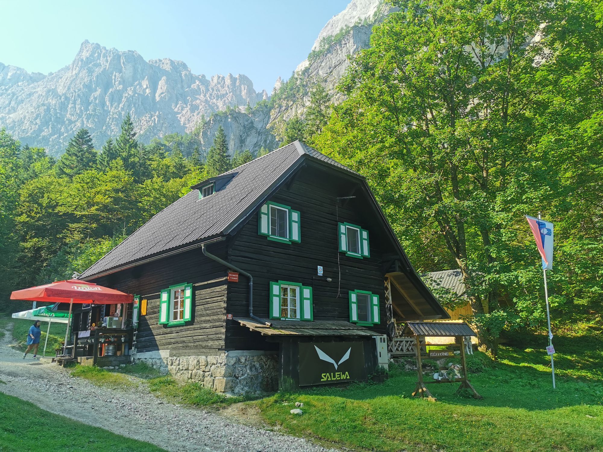
Krnica Hut
Fotografije naših uporabnikov

 © HenryUstvarjeno na 13.05.2026
 © Manuela GratzerUstvarjeno na 01.05.2026
 © Manuela GratzerUstvarjeno na 01.05.2026
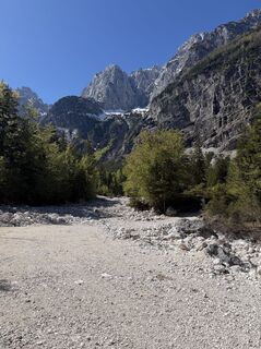 © Manuela GratzerUstvarjeno na 01.05.2026
 © Manuela GratzerUstvarjeno na 01.05.2026
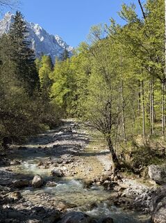 © Manuela GratzerUstvarjeno na 01.05.2026
 © Manuela GratzerUstvarjeno na 01.05.2026
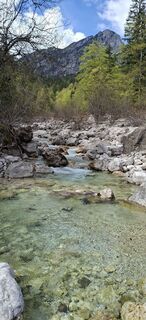
 © Mario ThomaschützUstvarjeno na 18.04.2026
 © Mario ThomaschützUstvarjeno na 18.04.2026
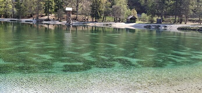 © Mario ThomaschützUstvarjeno na 18.04.2026
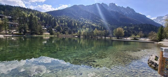 © Mario ThomaschützUstvarjeno na 18.04.2026
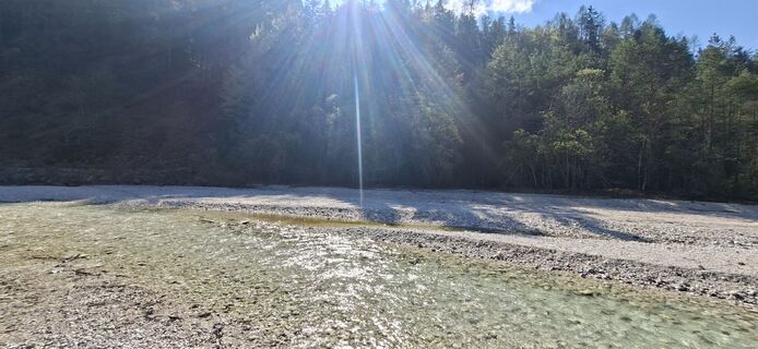 © Mario ThomaschützUstvarjeno na 18.04.2026
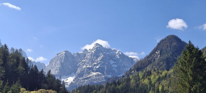 © Mario ThomaschützUstvarjeno na 18.04.2026
 © Luka RusUstvarjeno na 11.12.2025
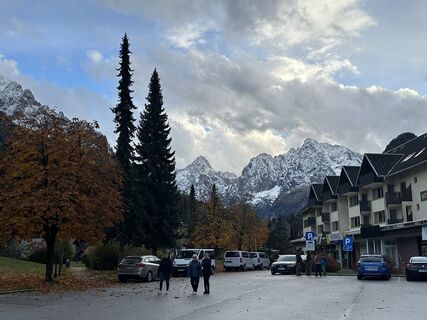
 © Tibor KőszegiUstvarjeno na 24.10.2025
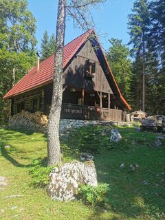
 © Jani VerdevUstvarjeno na 10.08.2025
 © Jani VerdevUstvarjeno na 10.08.2025
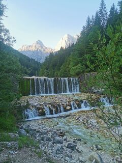 © Jani VerdevUstvarjeno na 10.08.2025
 © Jani VerdevUstvarjeno na 10.08.2025
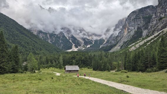
 © Andrej GeoAUstvarjeno na 06.08.2025
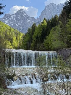
 © Антон ТрусовUstvarjeno na 01.05.2025
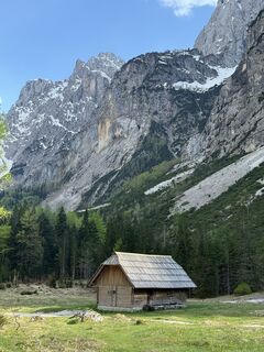 © Антон ТрусовUstvarjeno na 01.05.2025
 © Антон ТрусовUstvarjeno na 01.05.2025
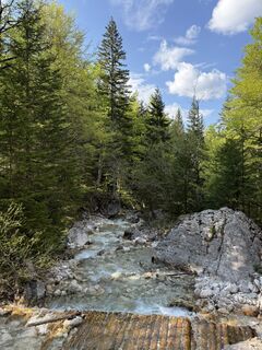 © Антон ТрусовUstvarjeno na 01.05.2025
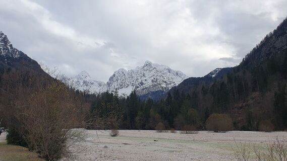
 © Anica vargaUstvarjeno na 30.03.2025
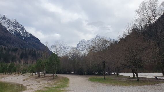 © Anica vargaUstvarjeno na 30.03.2025
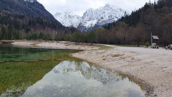 © Anica vargaUstvarjeno na 30.03.2025
 © Miklós György MuthUstvarjeno na 29.01.2025
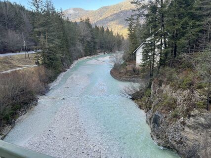 © Miklós György MuthUstvarjeno na 29.01.2025
 © Miklós György MuthUstvarjeno na 29.01.2025
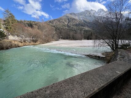 © Miklós György MuthUstvarjeno na 29.01.2025
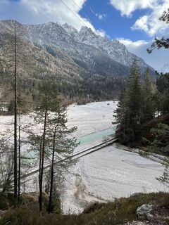 © Miklós György MuthUstvarjeno na 29.01.2025
 © Miklós György MuthUstvarjeno na 29.01.2025
 © Martina OitzingerUstvarjeno na 14.08.2022
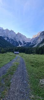 © Martina OitzingerUstvarjeno na 14.08.2022
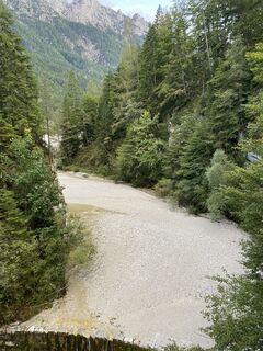
 © Alex_777deUstvarjeno na 12.09.2025
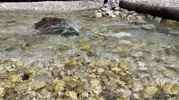 © Ma WaUstvarjeno na 24.08.2025
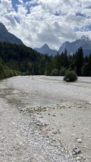 © Ma WaUstvarjeno na 24.08.2025
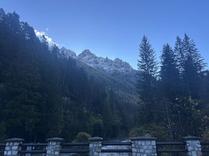 © Tibor KőszegiUstvarjeno na 24.10.2025
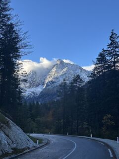 © Tibor KőszegiUstvarjeno na 24.10.2025
 © Tibor KőszegiUstvarjeno na 24.10.2025
 © Tibor KőszegiUstvarjeno na 24.10.2025
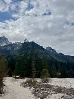
 © Sam Van de VeldeUstvarjeno na 27.04.2025
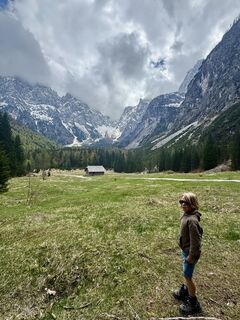 © Sam Van de VeldeUstvarjeno na 27.04.2025
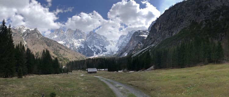
 © Peter LaureUstvarjeno na 30.04.2022
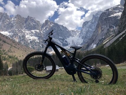 © Peter LaureUstvarjeno na 30.04.2022
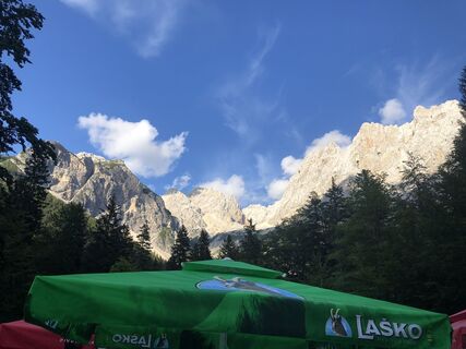 © Peter LaureUstvarjeno na 20.07.2020
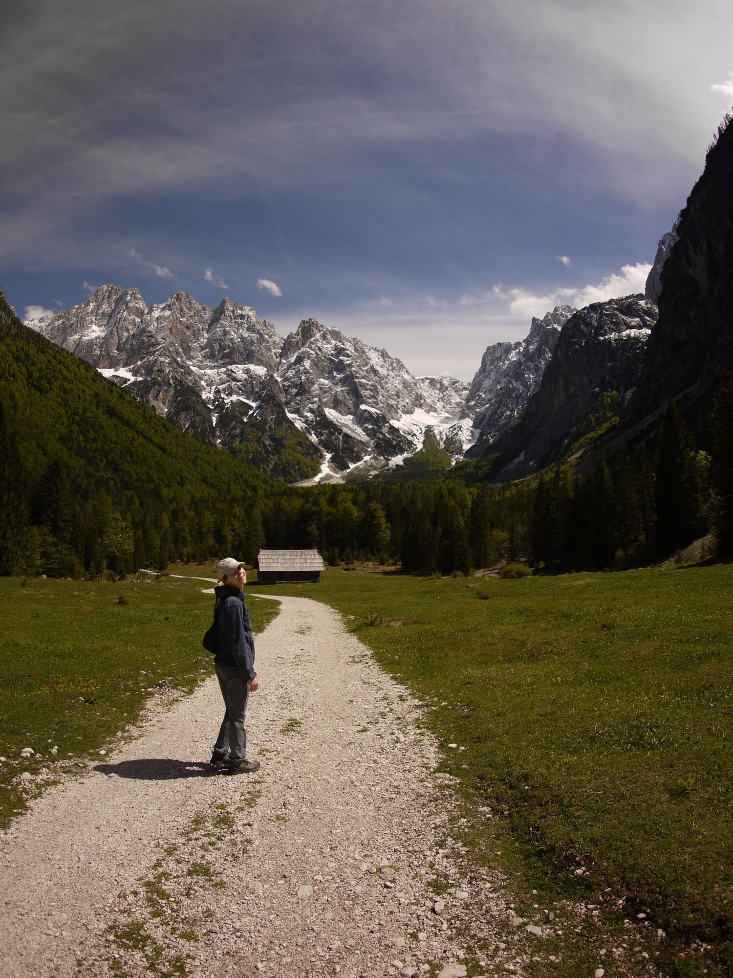
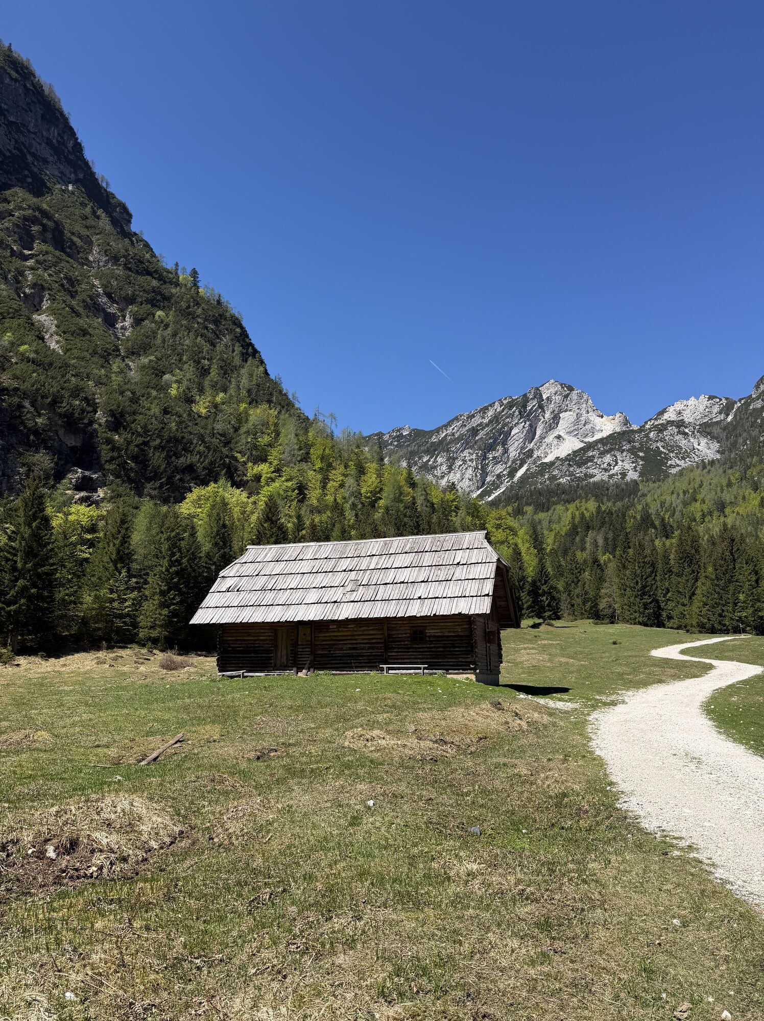
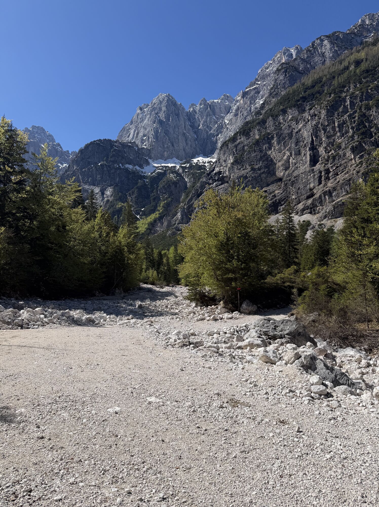
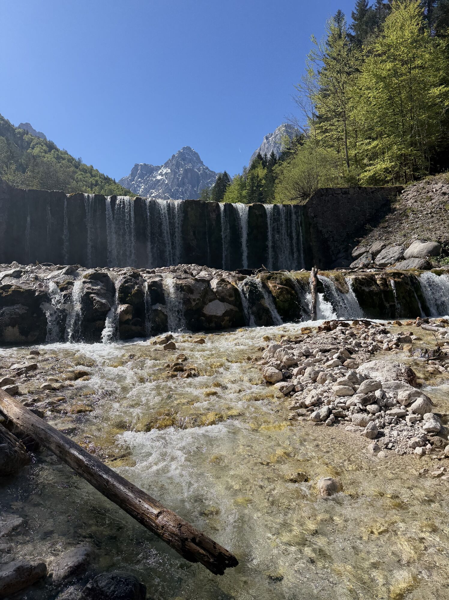
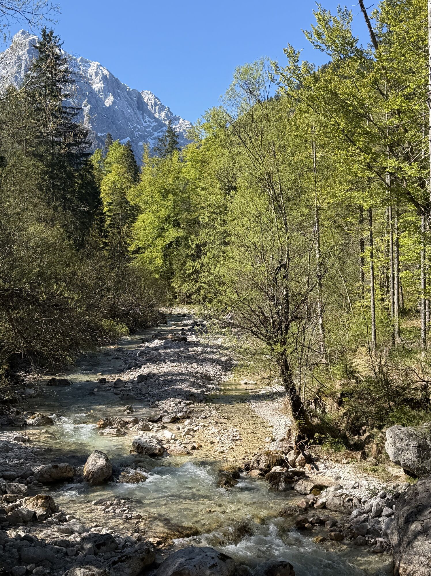
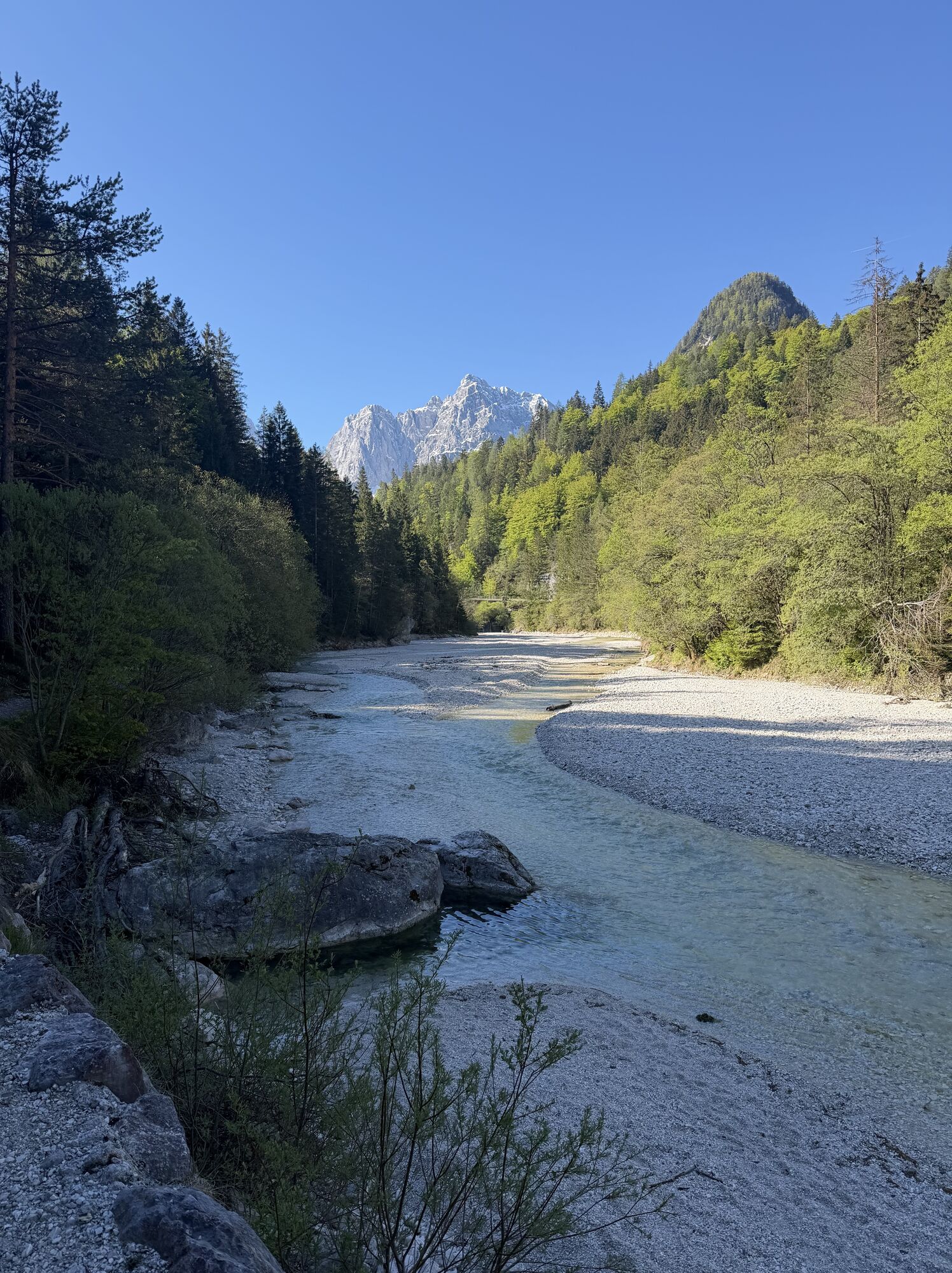
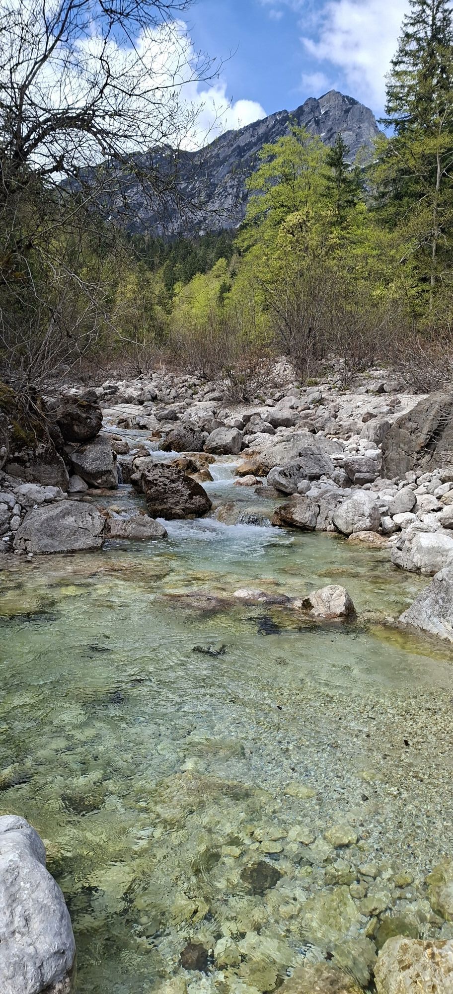


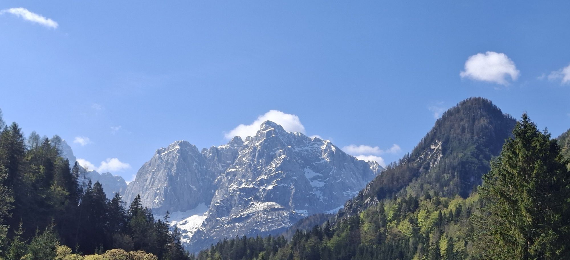


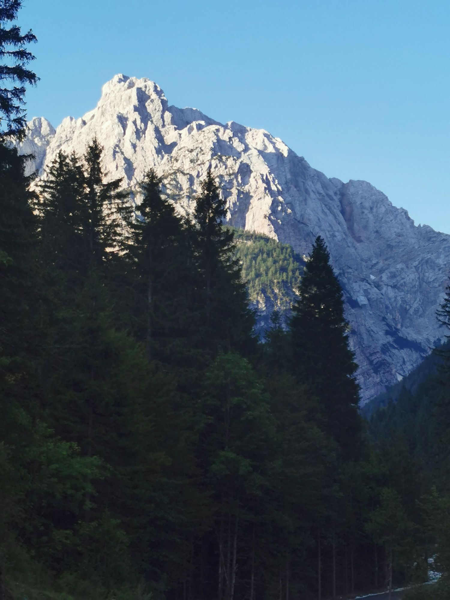
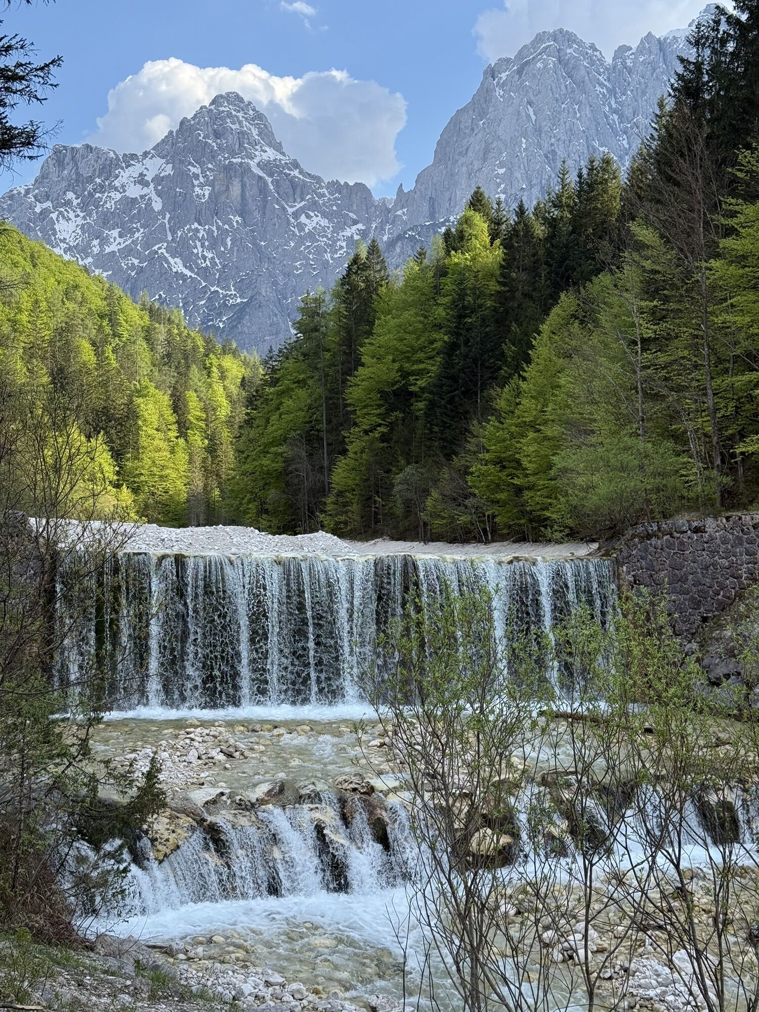

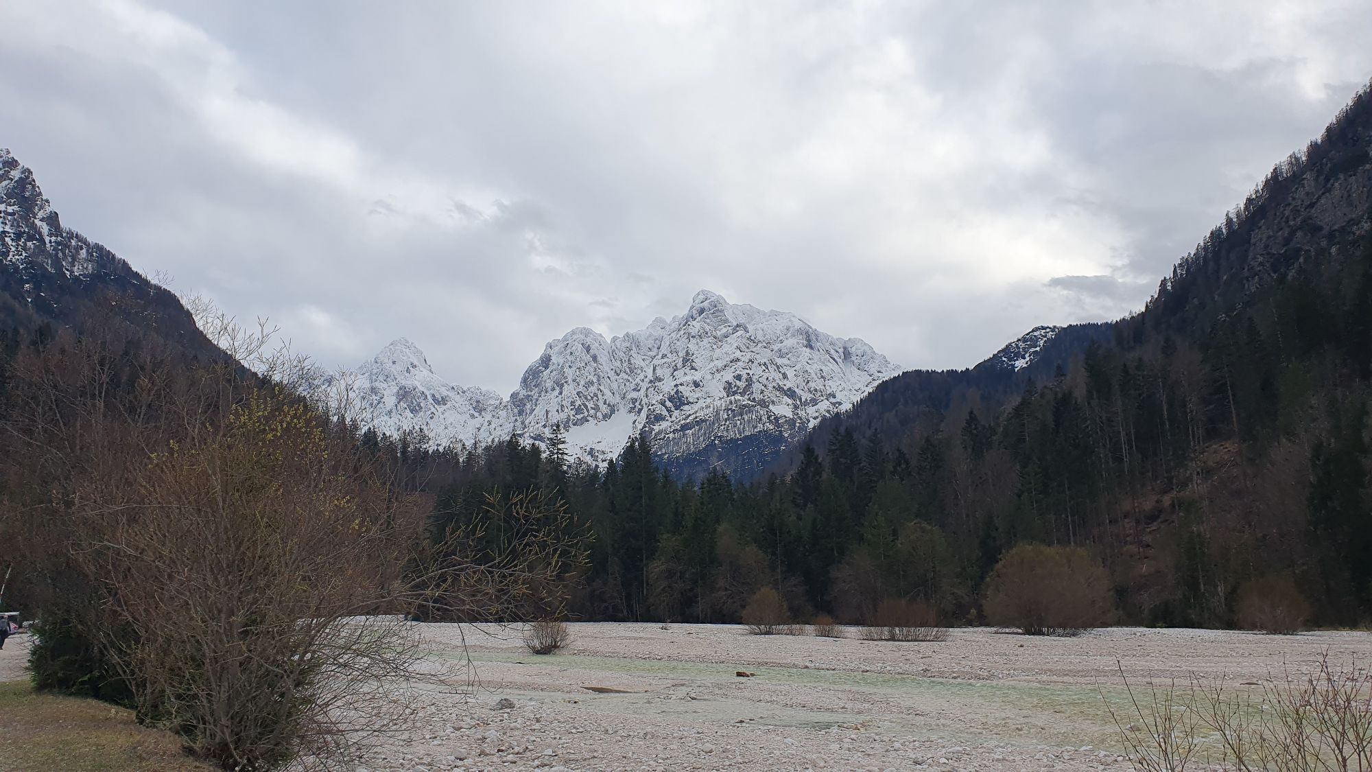

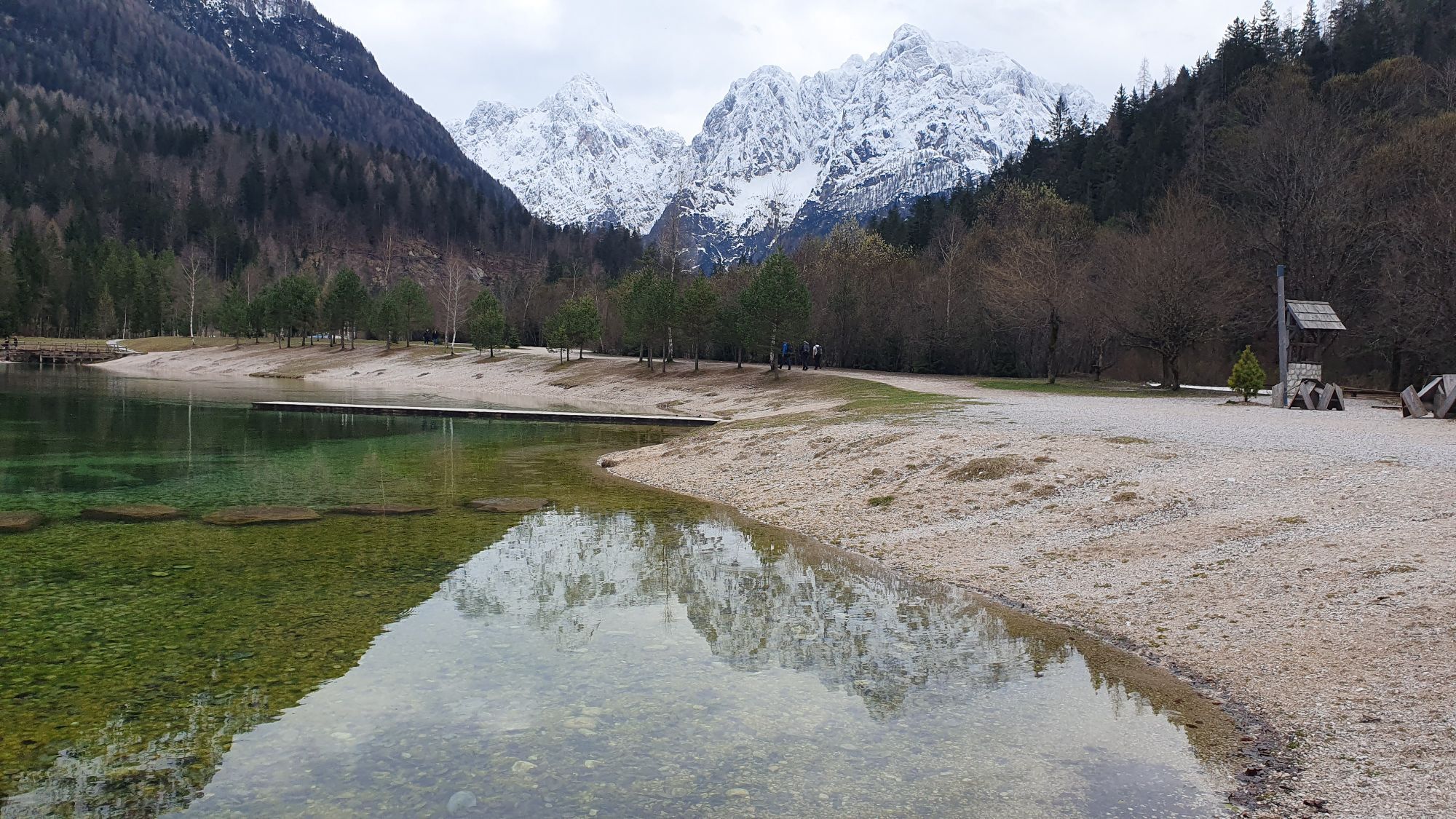


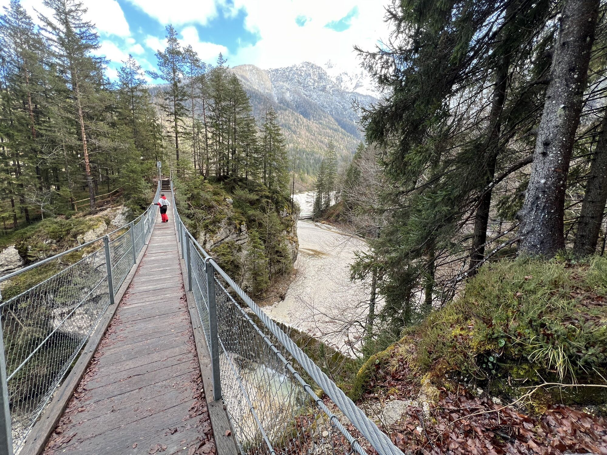


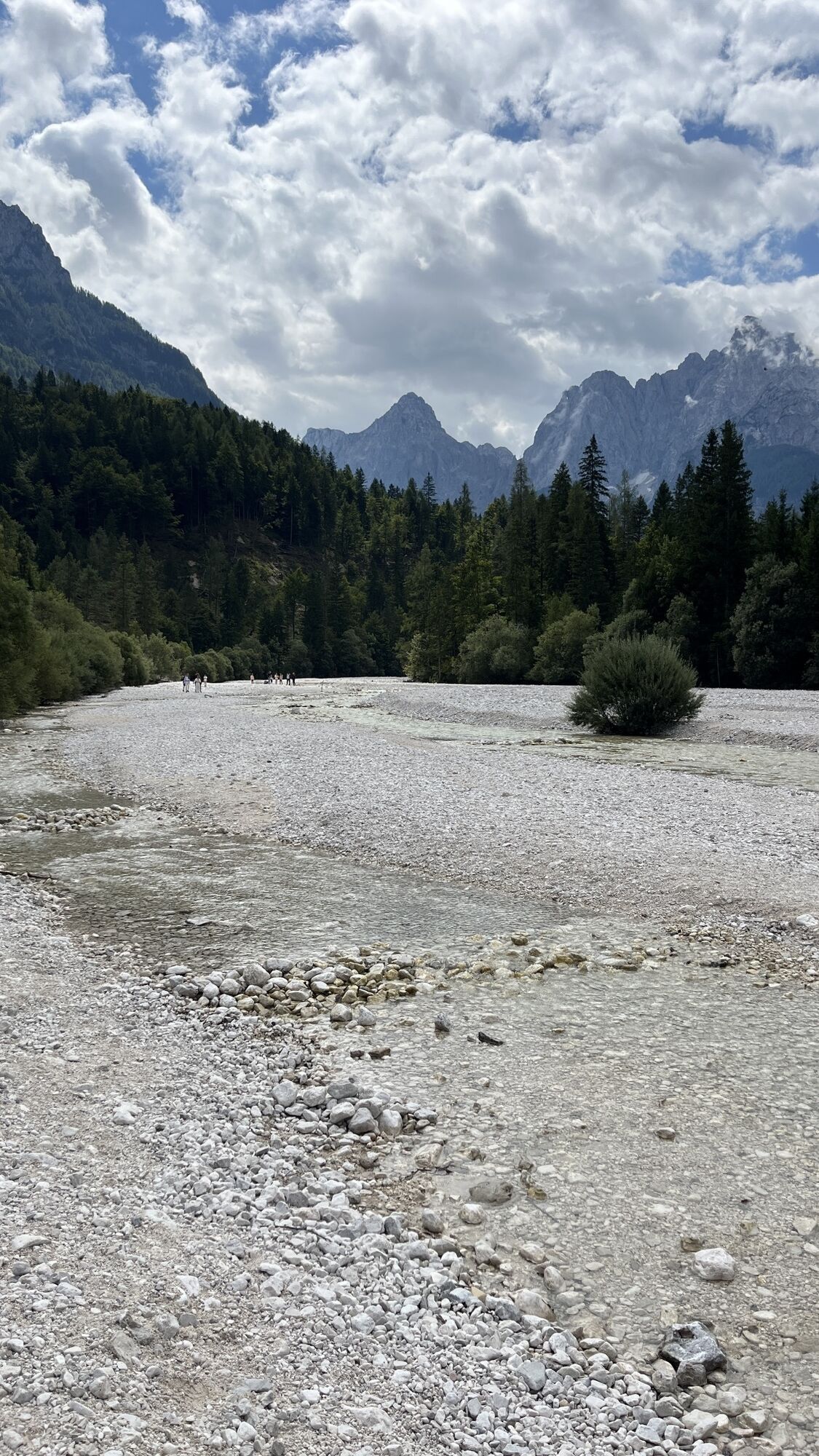
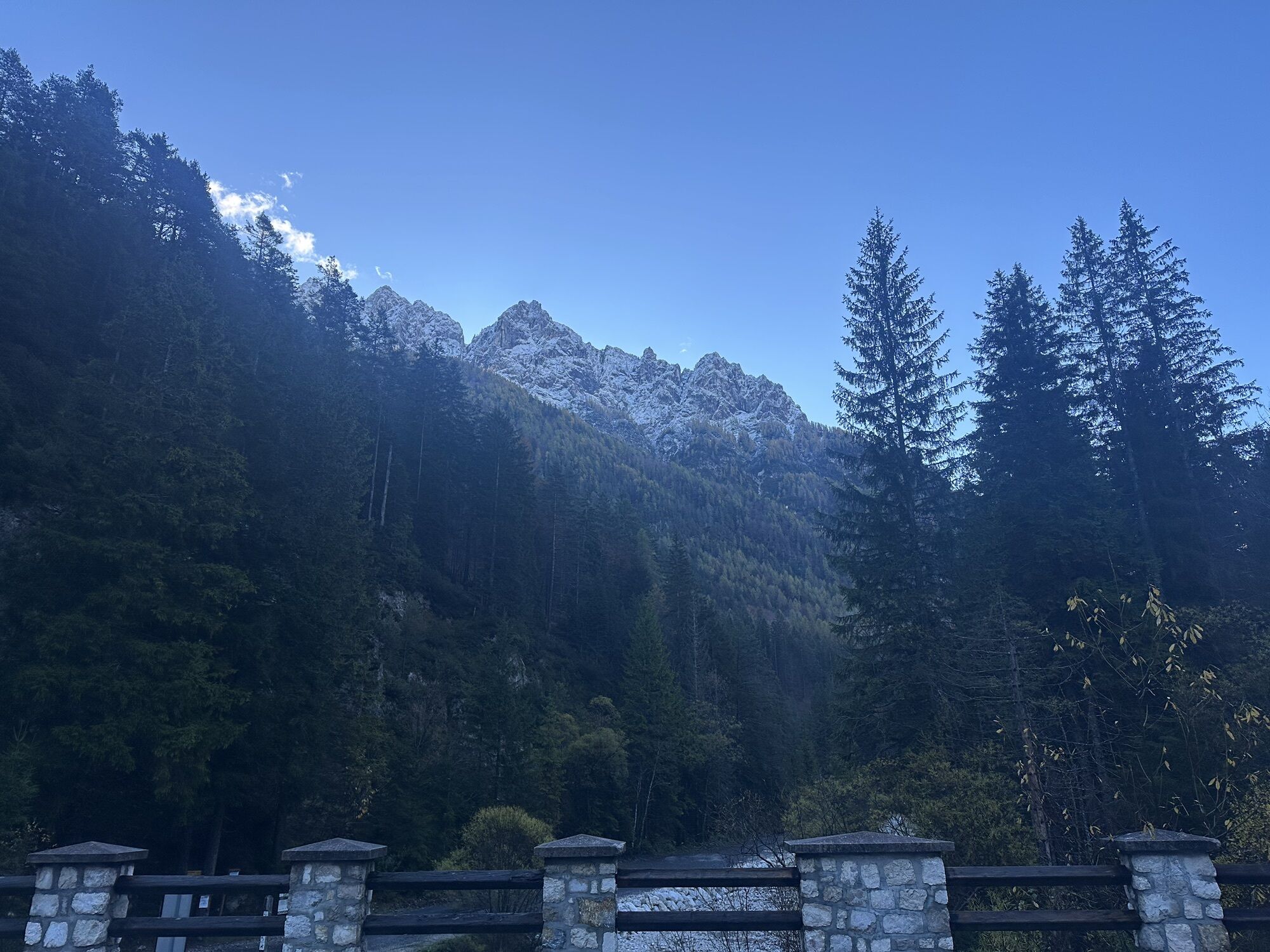
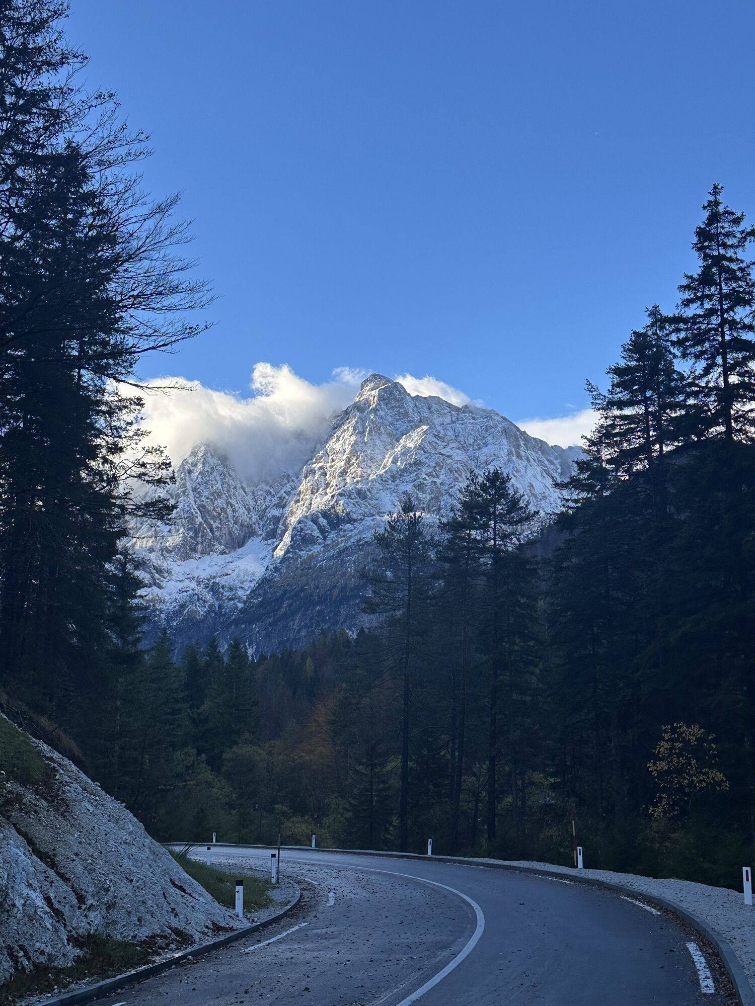
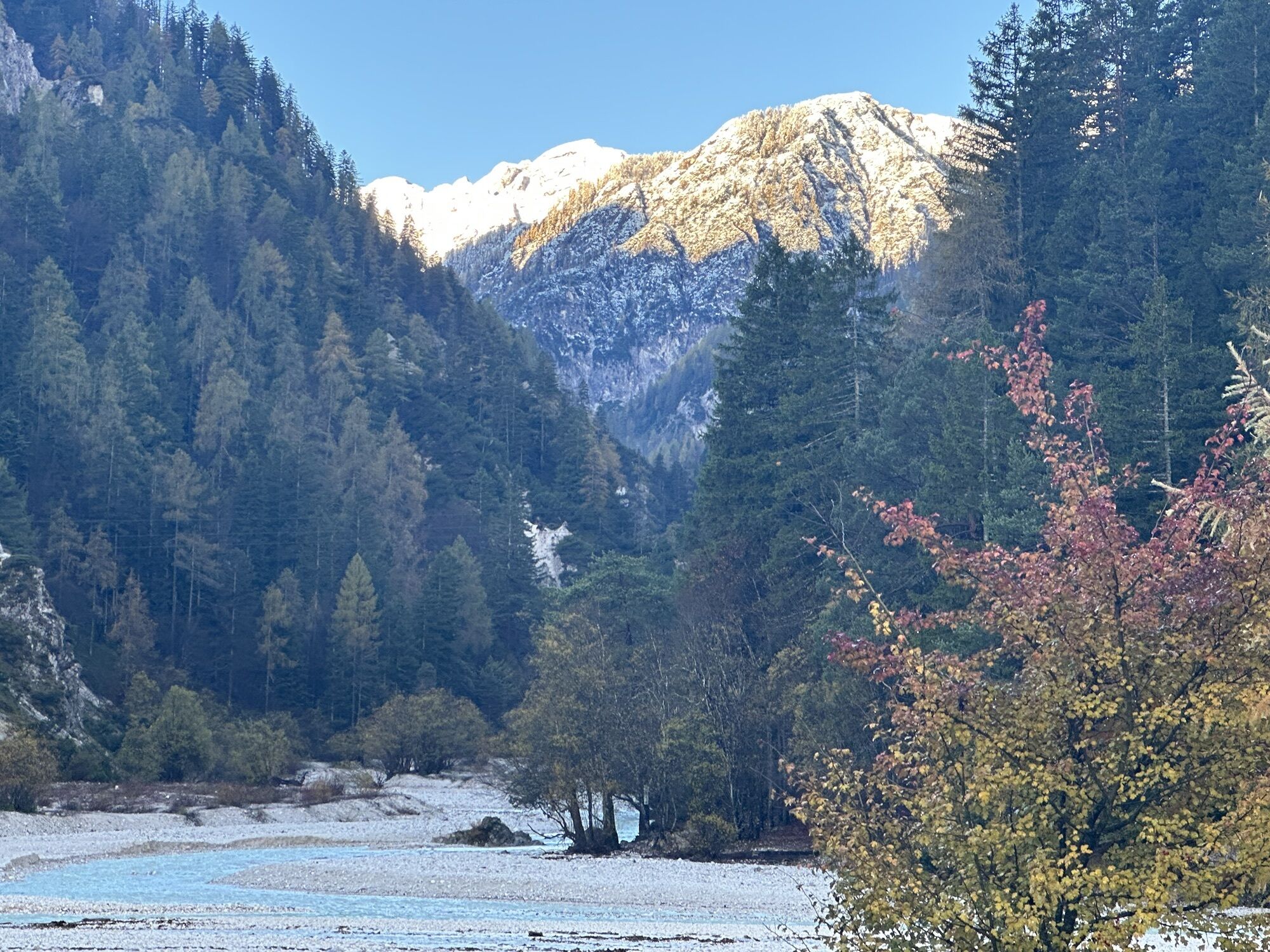

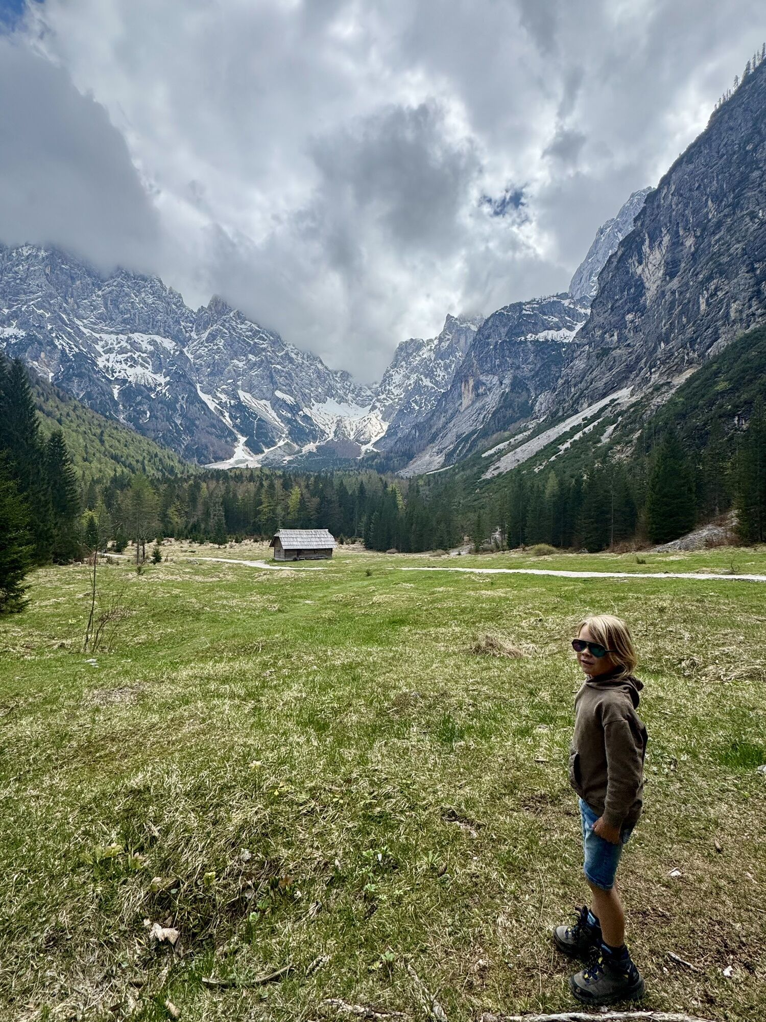


The hike first leads from Kranjska Gora to Lake Jasna, where the massive walls are reflected in the crystal-clear water. From Lake Jasna, the path leads deeper into the Krnica valley to the namesake hut...
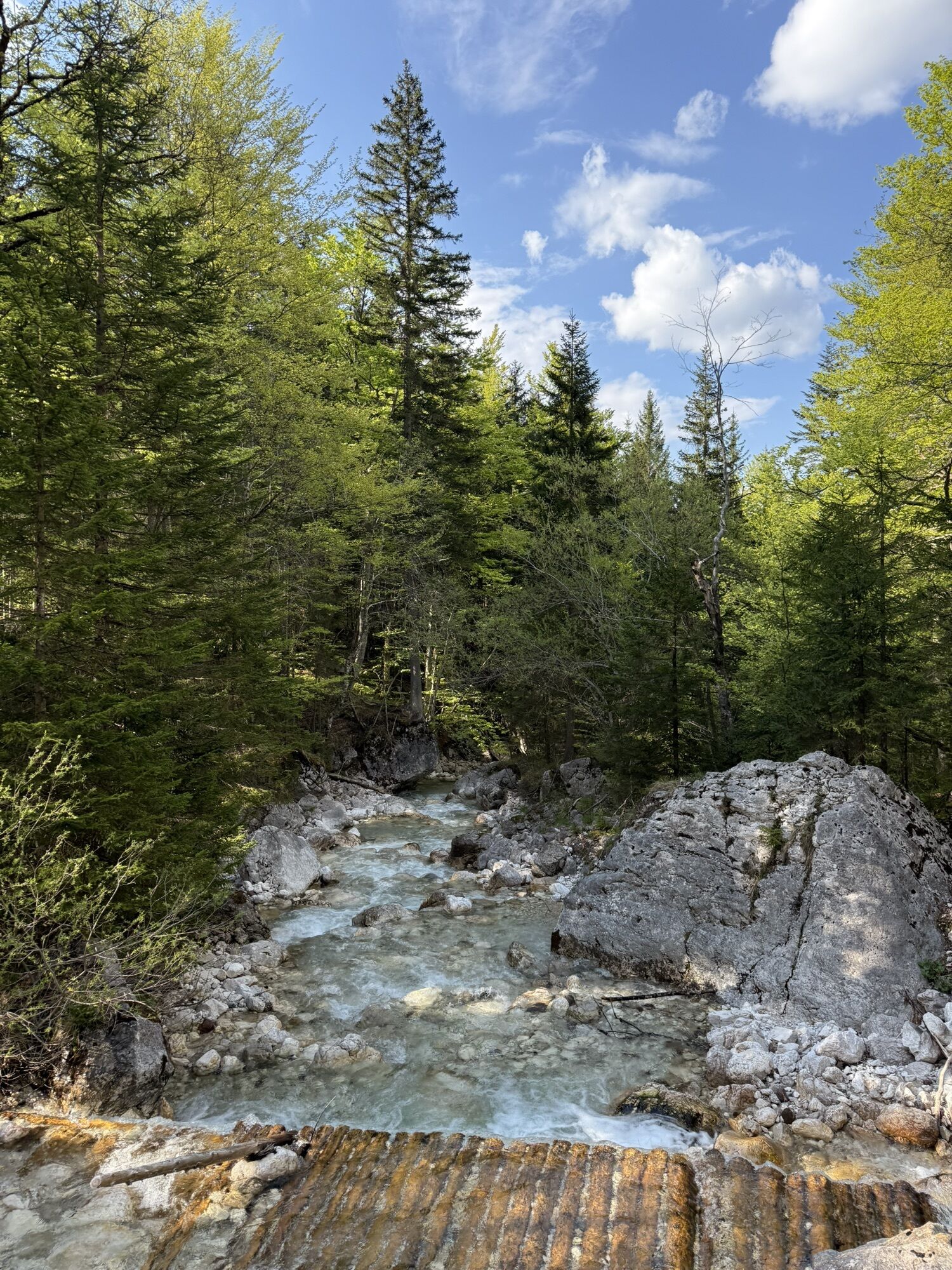
The hike first leads from Kranjska Gora to Lake Jasna, where the massive walls are reflected in the crystal-clear water. From Lake Jasna, the path leads deeper into the Krnica valley to the namesake hut accompanied by the Pišnica stream and the towering mountains of the Julian Alps.

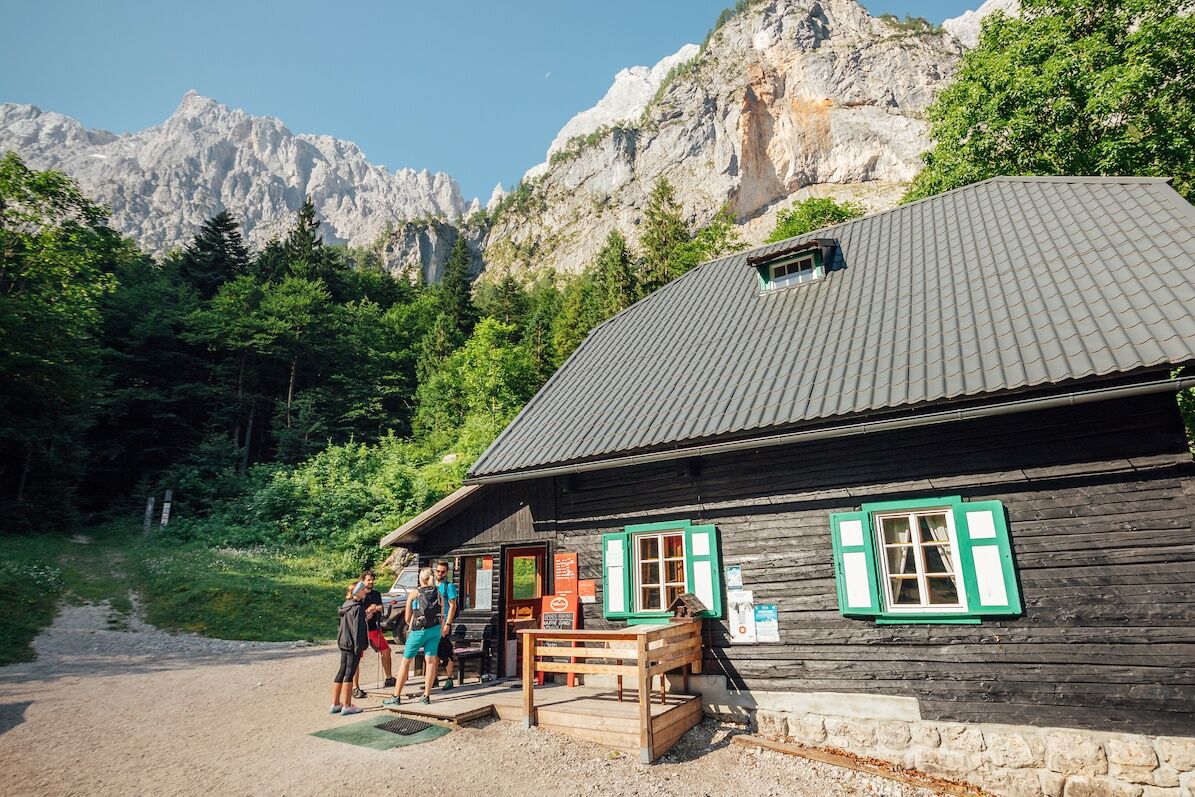
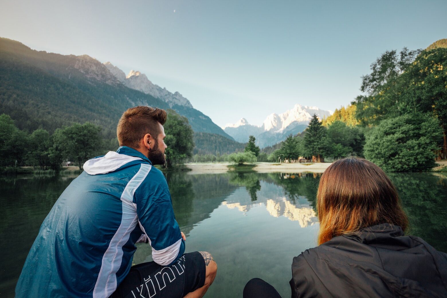
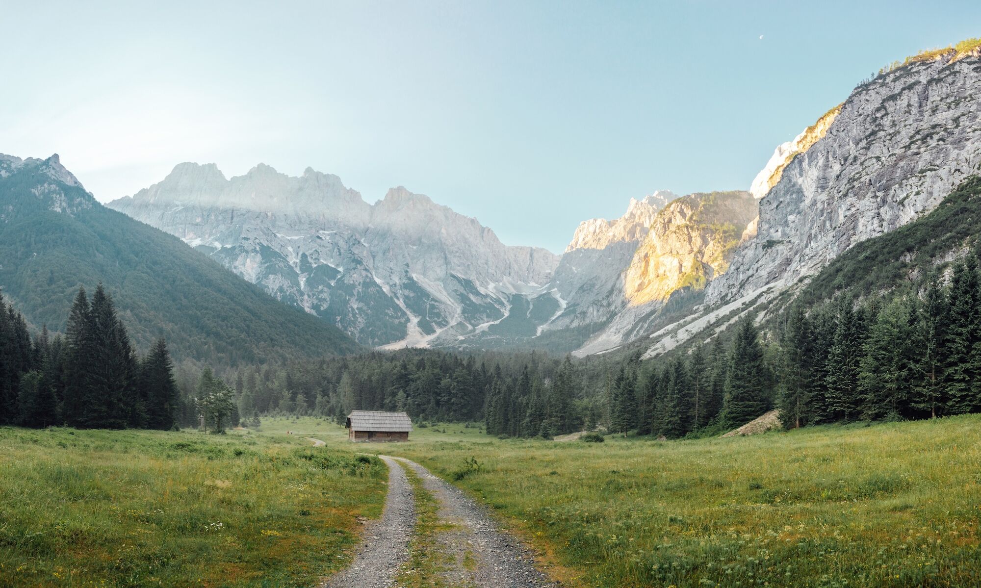
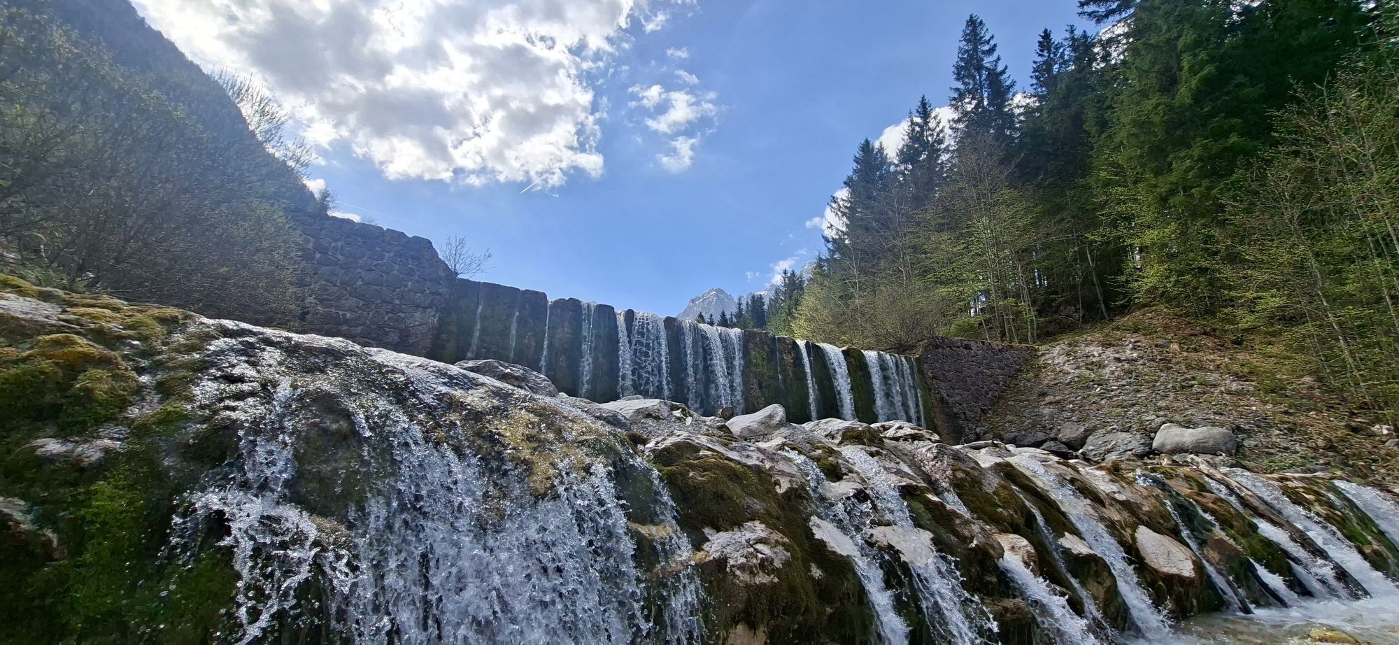
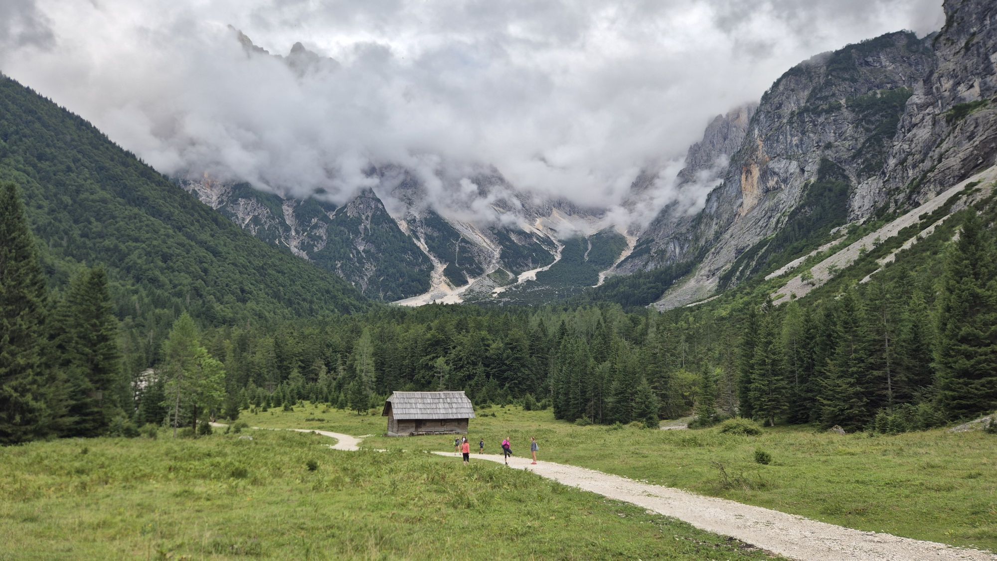
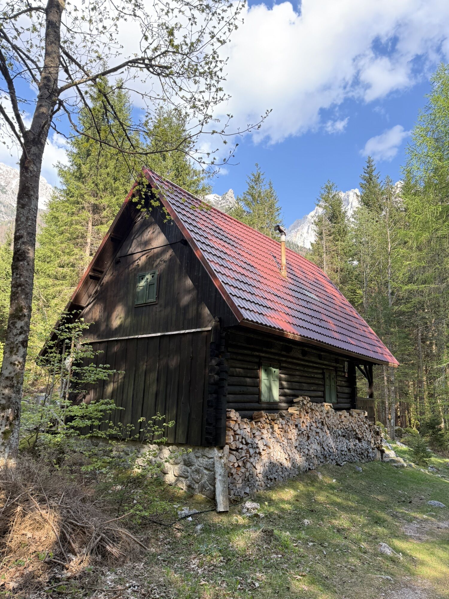
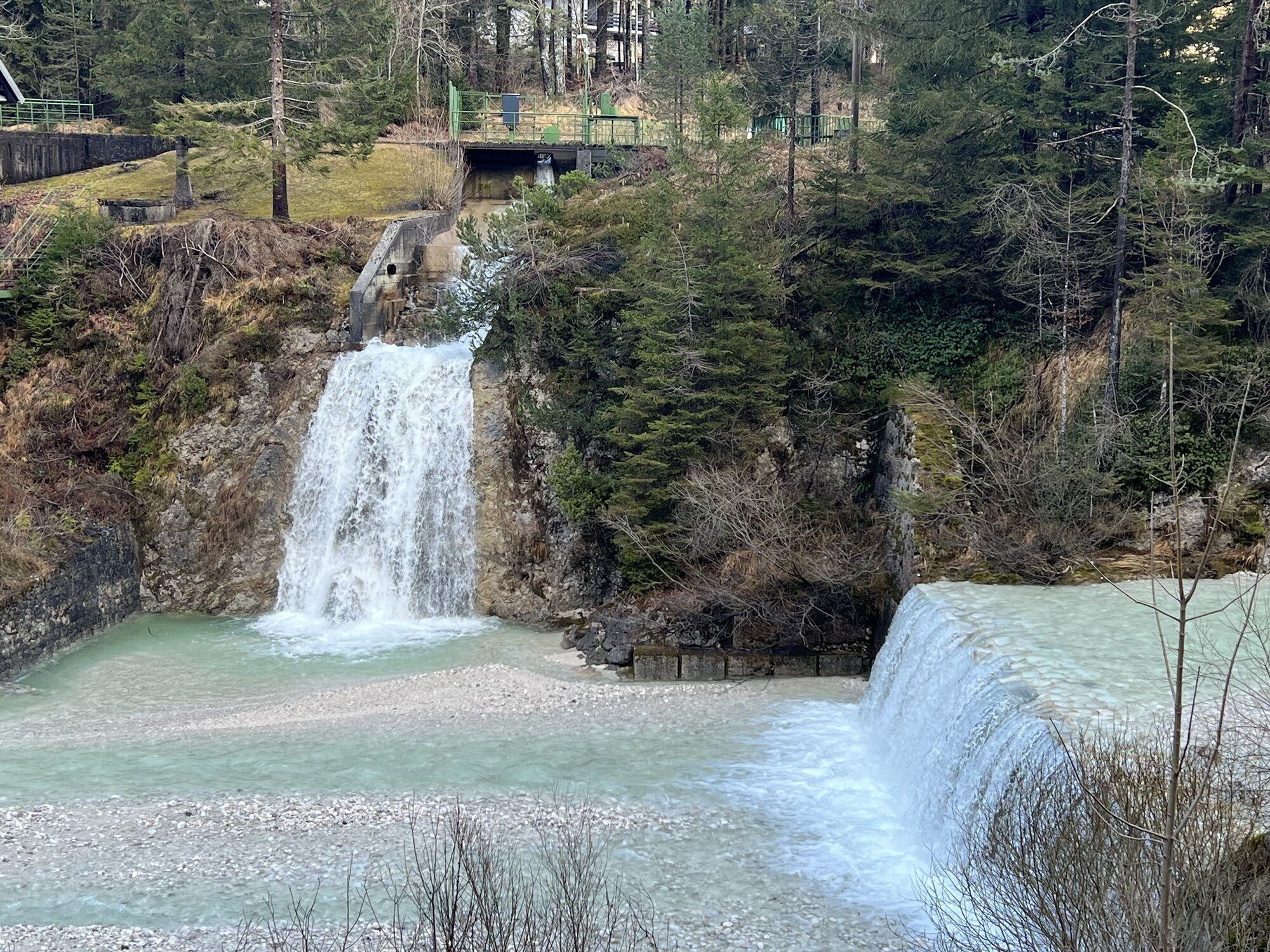
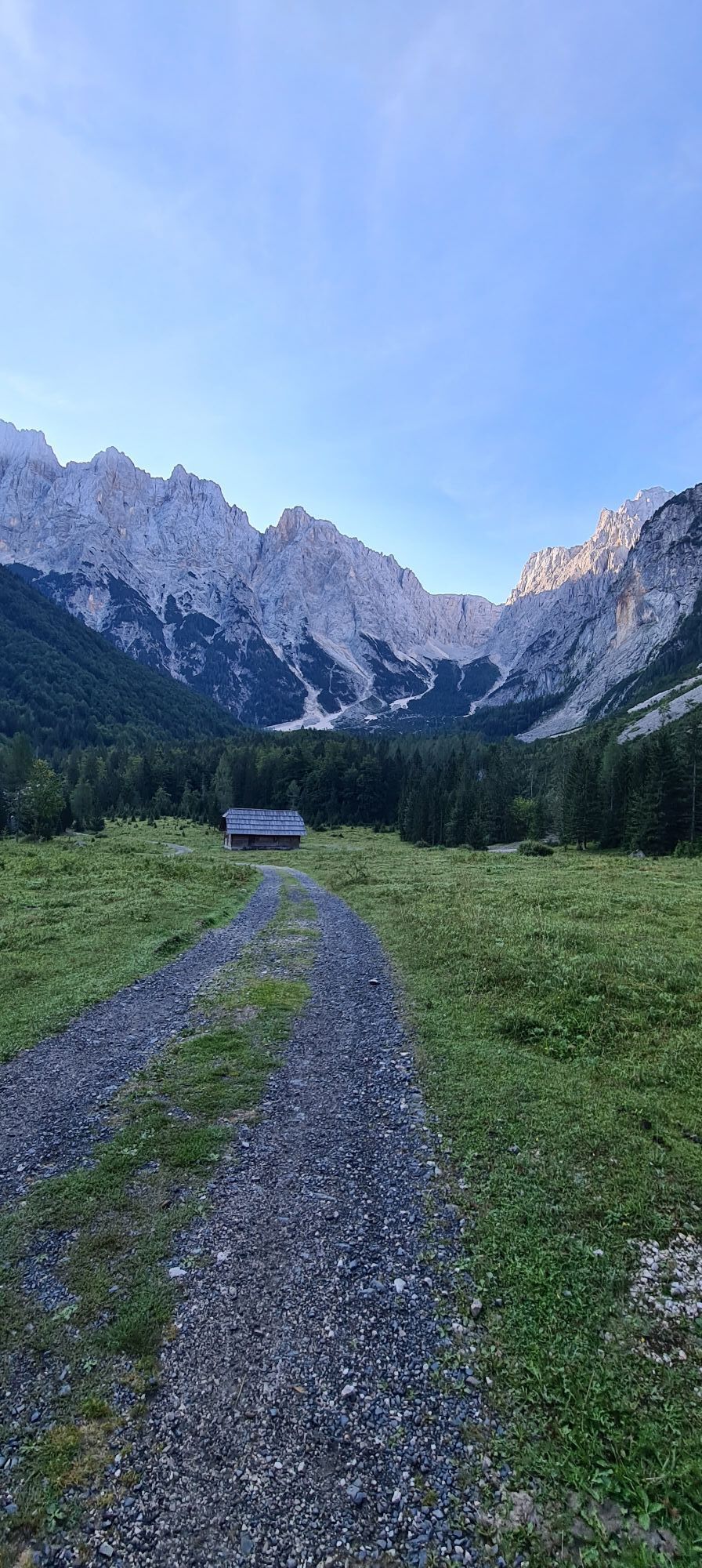
Starting from the parking lot of the cable cars, you take a leisurely walk into the center of Kranjska Gora and turn right at the height of Hotel Razor. You follow the course of the street "Josipa Ticarja" until it joins the "Vrsiska cesta" (Vrsic Pass Road) and follow the Pišnica River to Lake Jasna. At the right bank of the lake, the path leads to its end. Back on the Vrsiska cesta, after a few minutes' walk you reach the junction towards KoÄa v Krnici. On the wide gravel path and in the first half along the stream, you reach Planina v Klinu and half an hour later the hut.
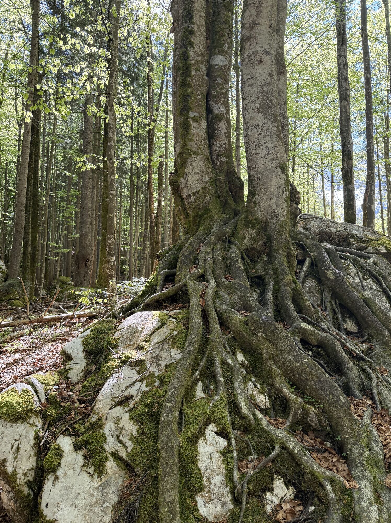
The return route follows the same path or from the hut via the nicer forest trail to the well-known crossroads from the ascent at Planina v Klinu. Here you can take a path west of the stream towards Lake Jasna. This path leads twice to the Vrsic Pass Road before you reach Lake Jasna again. From here you can also take a path east of the stream to get back to the village center.
Da
Da
Light hiking shoes with profile sole, backpack, functional underwear, rainwear, hiking poles, food and drink, maps, first aid and a mobile phone.
Kranjska Gora can be reached from Villach via the B83 Carinthian Road towards Italy and further from Hart via the B109 Wurzenpass Road. Alternatively, you can also reach Kranjska Gora via the A2/A23 towards Italy and from Tarvis on the SSS54 via Fusine in Valromana, Ratece and Podkoren.
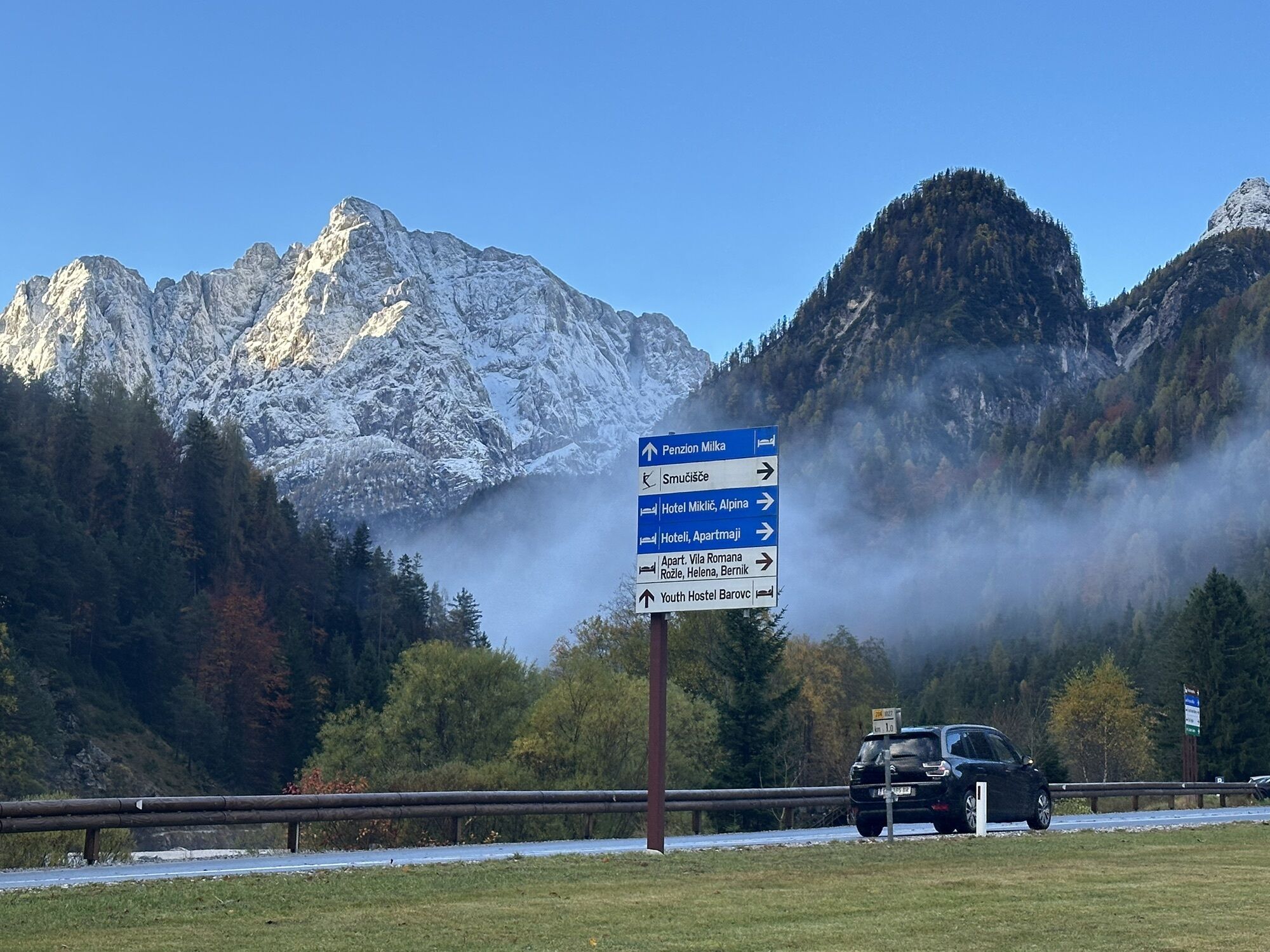
Large parking lot at the Kranjska Gora cable car. Parking at Lake Jasna or along the Vrsic Pass Road at the junction towards Krnica.
On the way back, you can also make another culinary stop at the Milka restaurant at Lake Jasna.
Dejavnosti na poti

Kranjska Gora, Slovenia
17.05.2026 – PohodništvoKronau, Slowenien
01.05.2026 – PohodništvoKronau, Slowenien
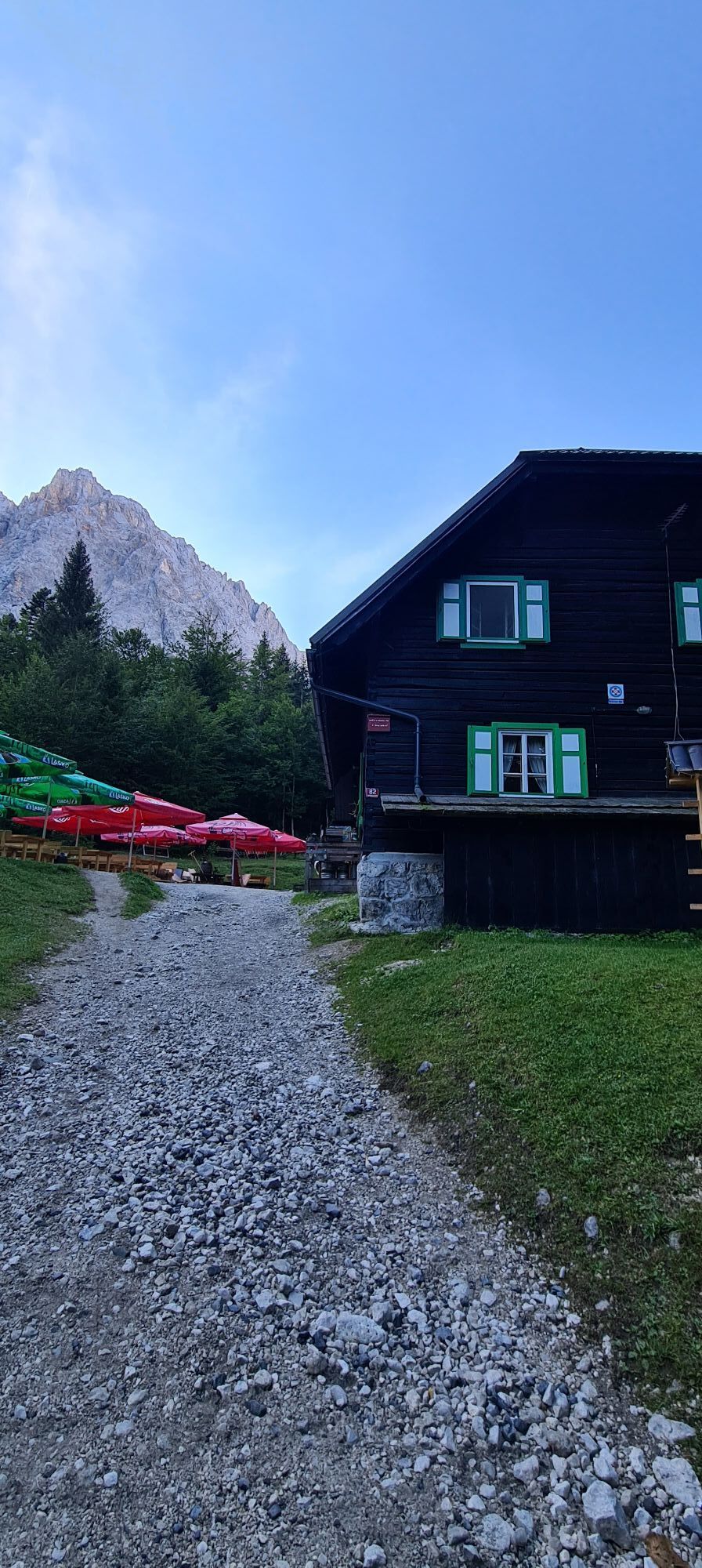
18.04.2026 – PohodništvoKrnicahütte - Kranjska Gora, Kronau Slowenien
06.04.2026 – Pohodništvo
Kronau, Slowenien
06.04.2026 – Pohodništvo
Kranjska Gora, Slovenia
22.01.2026 – Pohodništvo
Kranjska Gora, Slovenia
07.12.2025 – PohodništvoKronau, Slowenien
11.10.2025 – Pohodništvo
Kranjska Gora Hiking
26.12.2023 – Gorski pohodništvo
Kranjska Gora, Slovenija
20.07.2023 – PohodništvoKranjska Gora Mountain Biking
26.06.2023 – MountainbikeKranjska Gora Pohodništvo
13.08.2022 – Drugi
Priljubljeni izleti v okolici
- 4.8
Jezera Fusine
svetlobaPohodništvo 5.43 km - 4.9
Orrido dello Slizza, Tarvisio, Italië
svetlobaPohodništvo 2.65 km - 4.8
Krma - Triglav
težkoGorski pohodništvo 18.6 km - 4.6
Rotschitza Klamm Klettersteig B/C
srednjaVia ferrata 3.73 km - 4.5
Baumgtn. Höhe, Mallestiger Mittags- und Schwarzkogel
težkoZimsko pohodništvo 10.7 km - 4.4
Mallestiger Mittagskogel
srednjaPohodništvo 8.17 km - 4.3
Zacchi Wanderung Rundweg
svetlobaPohodništvo 8.85 km - 4.3
Mittagskogel - Rundwanderung
težkoPohodništvo 14.5 km - 4.3
Grande Ponza
Via ferrata 9 km - 4.8
Schwarzkogel-Runde über Jepzasattel Schwarzkogel, Mallestiger Mittagskogel
srednjaPohodništvo 13.4 km
Pohodništvo in sledenje


Ne zamudite ponudb in navdiha za naslednje počitnice
Vaš e-poštni naslov je bil dodan na poštni seznam.