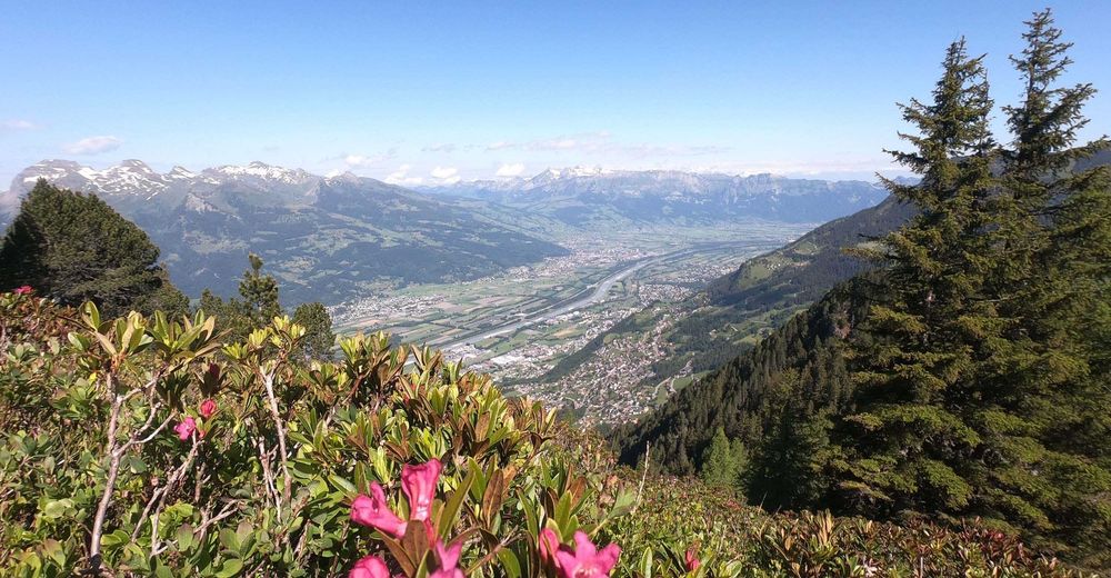
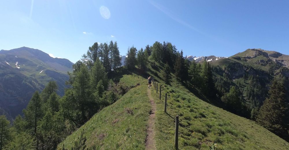
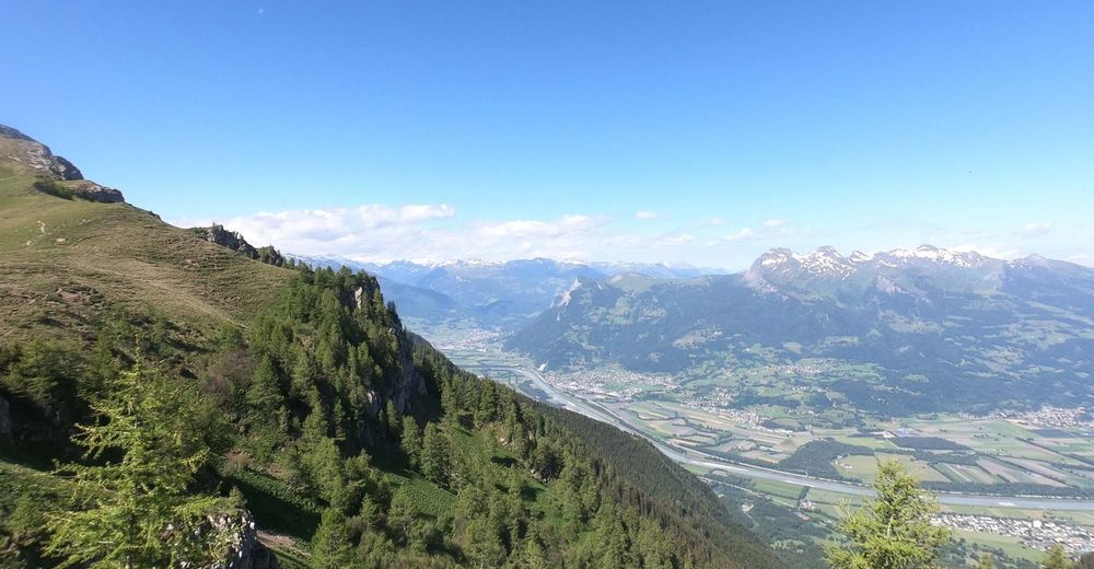
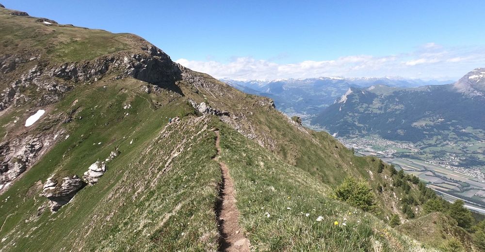
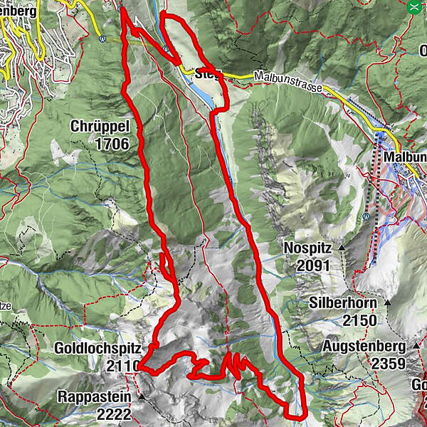
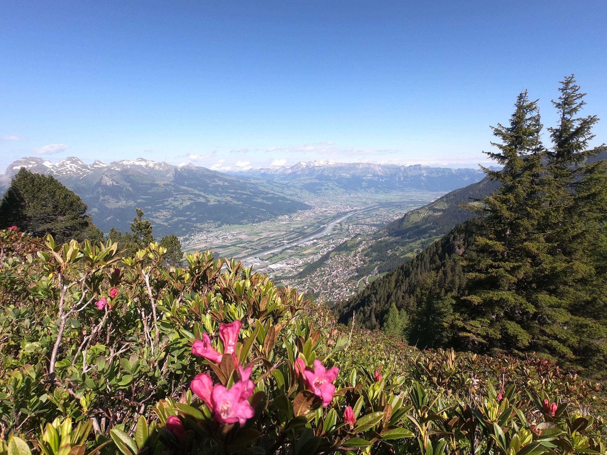
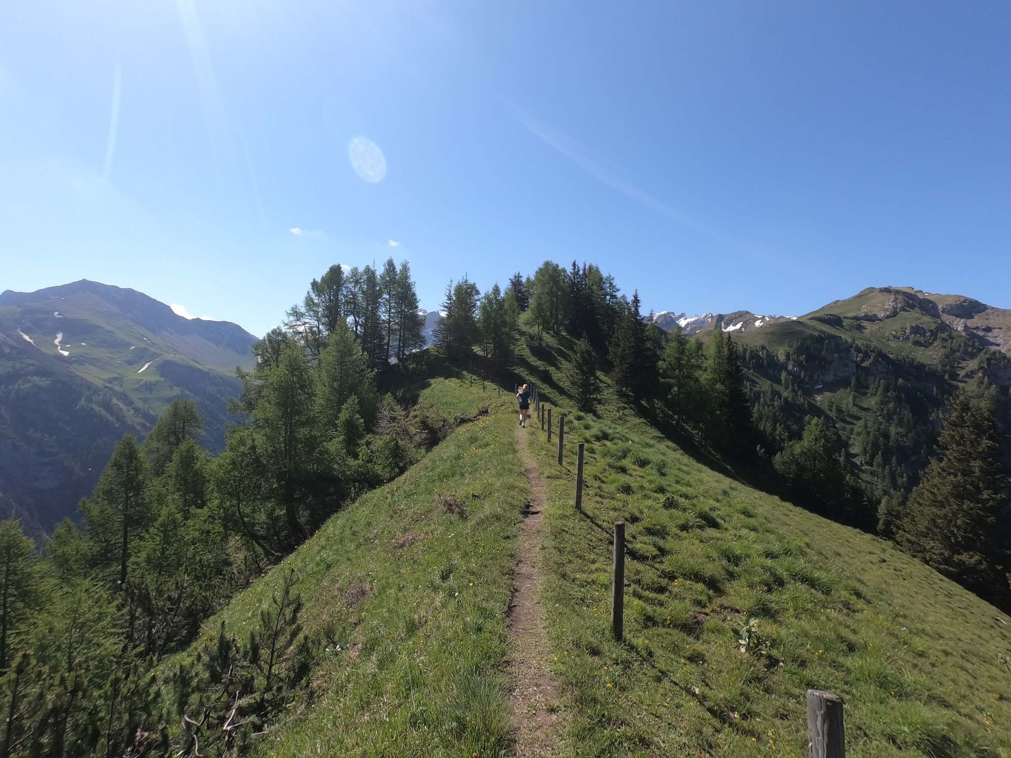
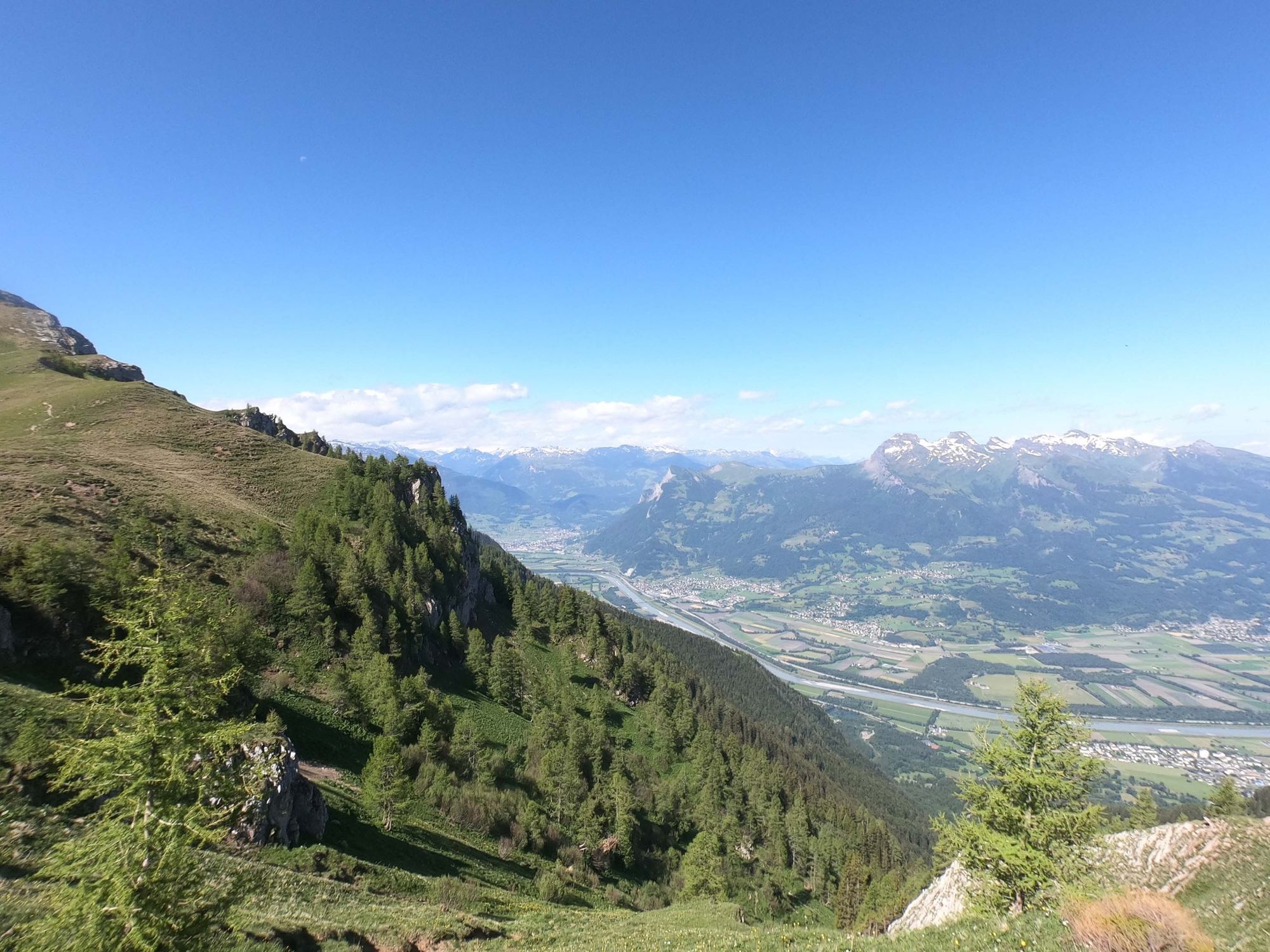
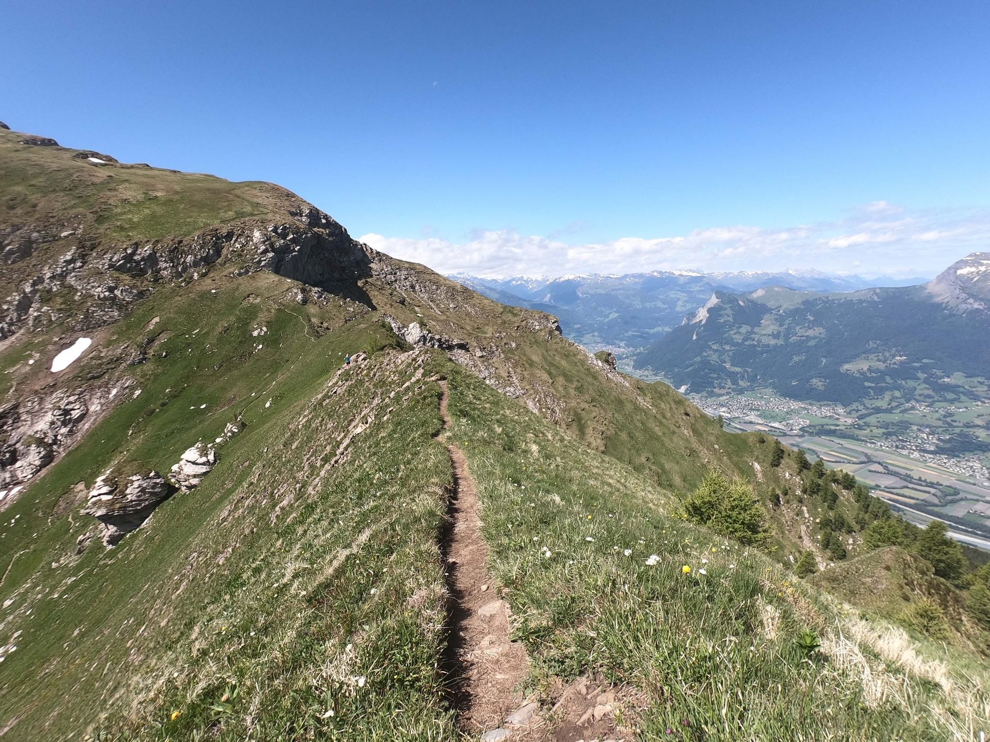
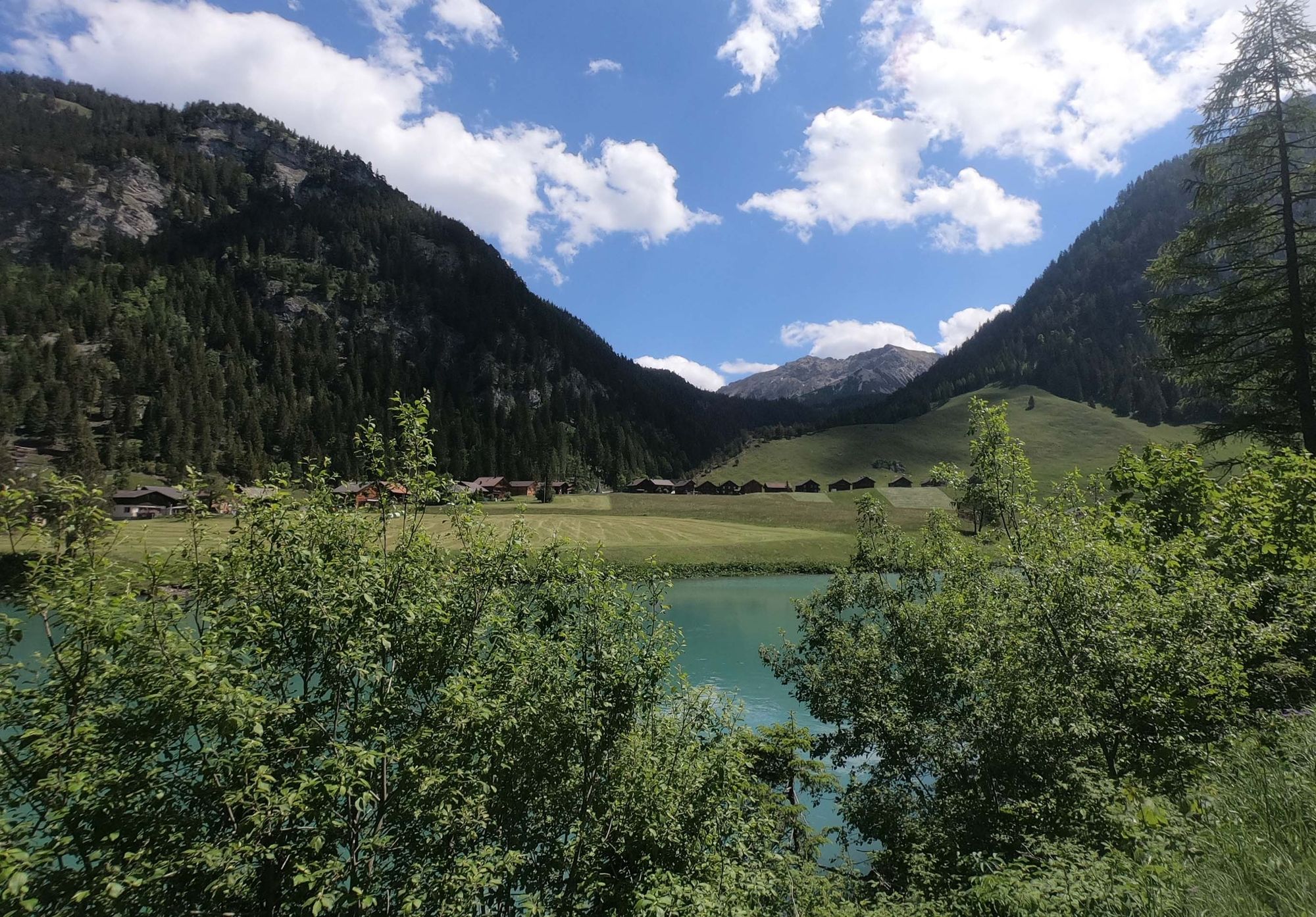
Technical ridge with unique view across the Rhine Valley

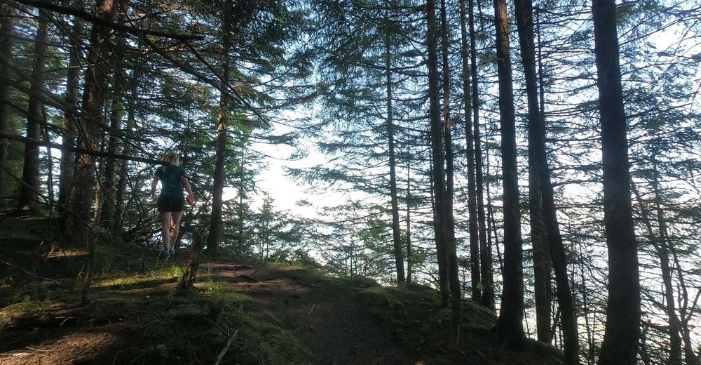
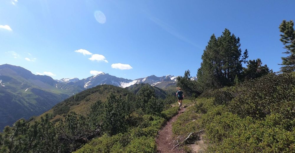
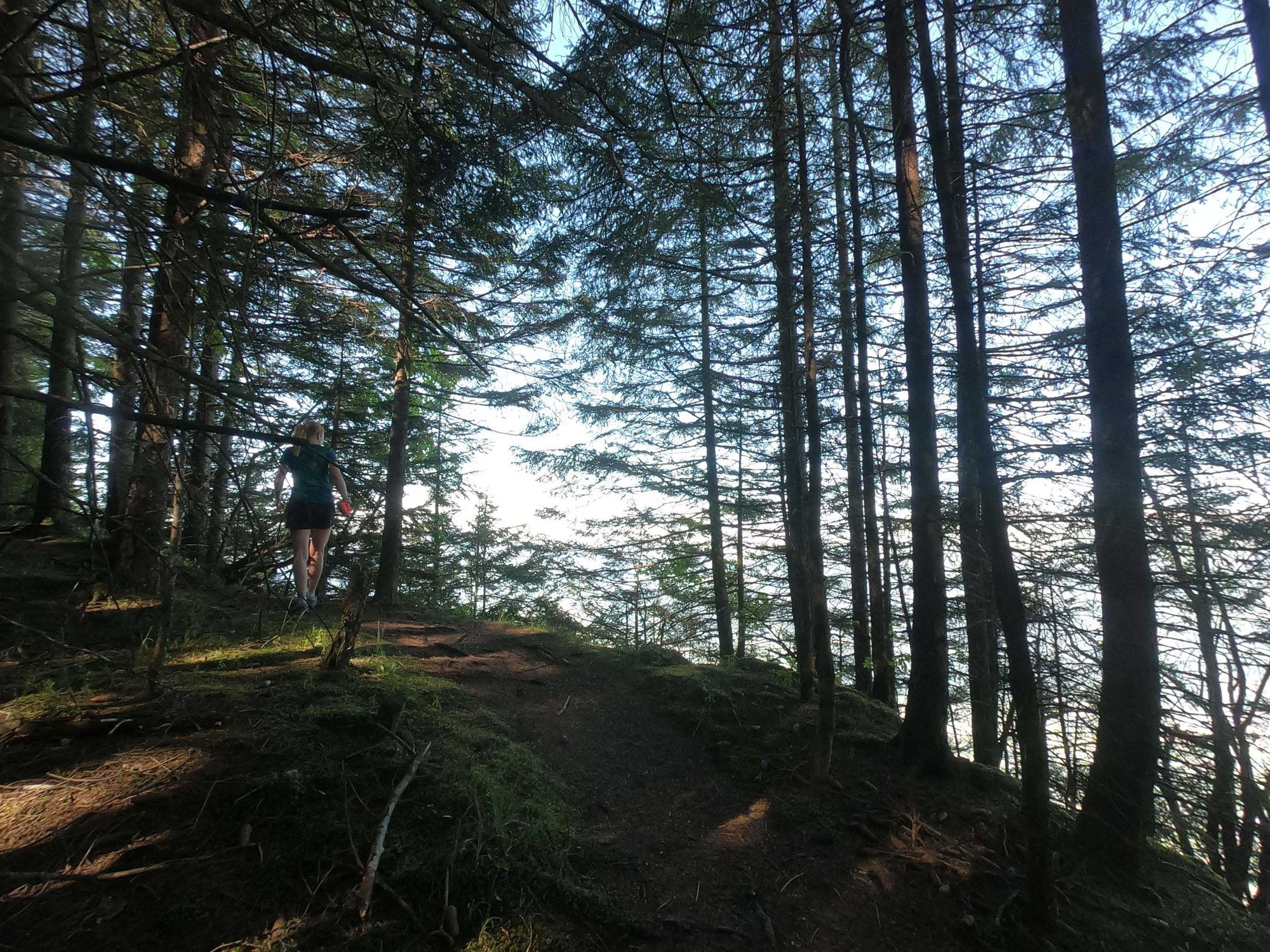
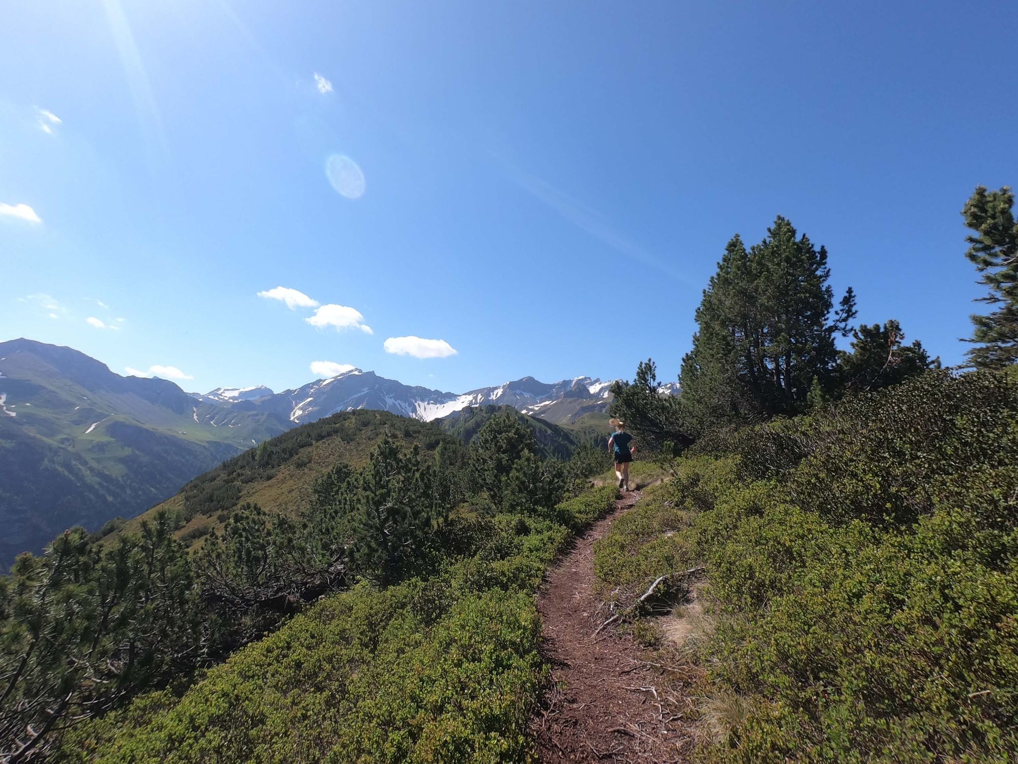
Trailrunning
© Liechtenstein Marketing - Michael Lenz
© Liechtenstein Marketing - Michael Lenz
© Liechtenstein Marketing - Michael Lenz
© Liechtenstein Marketing - Michael Lenz
© Liechtenstein Marketing - Michael Lenz
© Liechtenstein Marketing - Michael Lenz
© Liechtenstein Marketing - Michael Lenz
© Liechtenstein Marketing - Michael Lenz
- Kratek opis
-
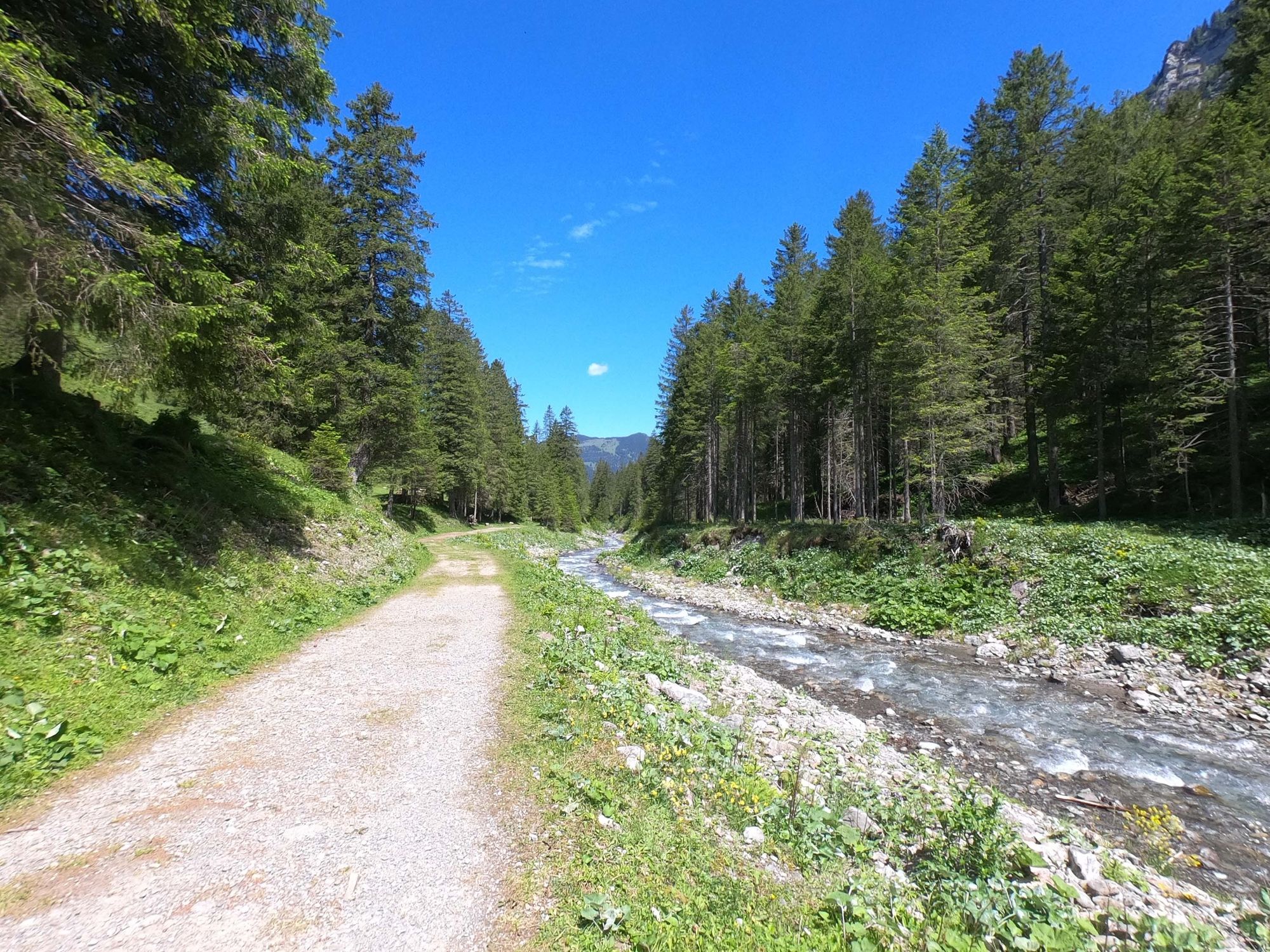
This technically demanding trail run along the ridge parallel to the Rhine Valley offers special perspectives. The downhill is reminiscent of Canada.
- Težavnost
-
srednja
- Ocenjevanje
-
- Pot
-
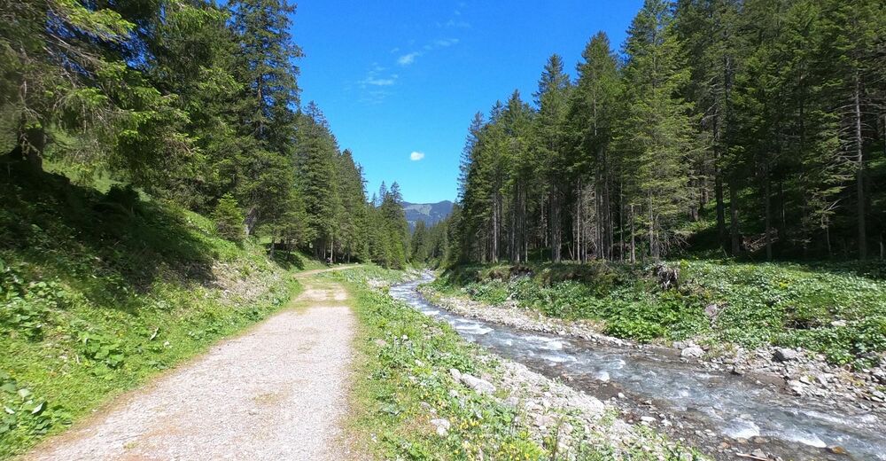
Bergstübli0,1 kmSteg0,1 kmKapelle Steg0,2 kmKleinsteg0,3 kmKlotzeck2,9 kmValüna-Säss (1.409 m)3,6 kmValüna3,6 kmAlp Valüna3,6 kmGapfahl-Obersäss (1.879 m)8,3 kmGoldlochspitz (2.110 m)9,8 kmKolm (1.993 m)10,7 kmChrüppel (1.706 m)14,0 kmWisli16,6 kmGrosssteg18,0 kmKleinsteg18,4 kmSteg18,5 kmBergstübli18,5 km
- Najboljša sezona
-
janfebmaraprmajjunjulavgsepoktnovdec
- Najvišja točka
- 2.106 m
- Destinacija
-
Steg parking lot directly after the tunnel
- Profil nadmorske višine
-
 © outdooractive.com
- Avtor
-
Turneja Technical ridge with unique view across the Rhine Valley uporablja outdooractive.com na spletni strani ..
GPS Downloads


Splošne informacije
Postanek za osvežitev
Obetavno
Več izletov v regijah
-
Heidiland
104
-
Liechtenstein
46
-
Malbun
21


