



Trip harbors paddling route, Lappeenranta - Imatra

The paddling route from Lappeenranta to Imatra consists of varying landscapes and includes several sites managed by the South Karelia Recreational Area Foundation along the way. The route line is illustrative,...
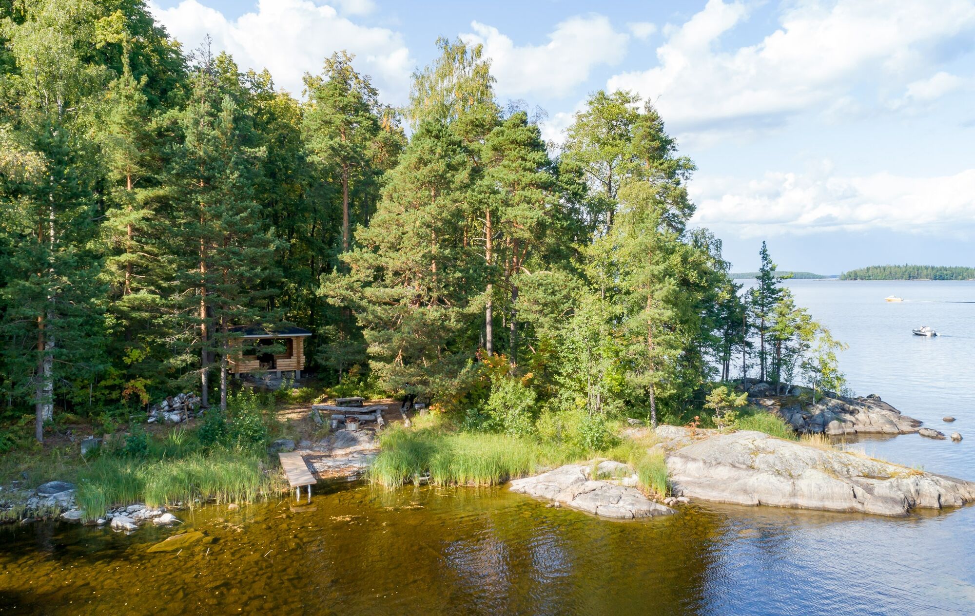
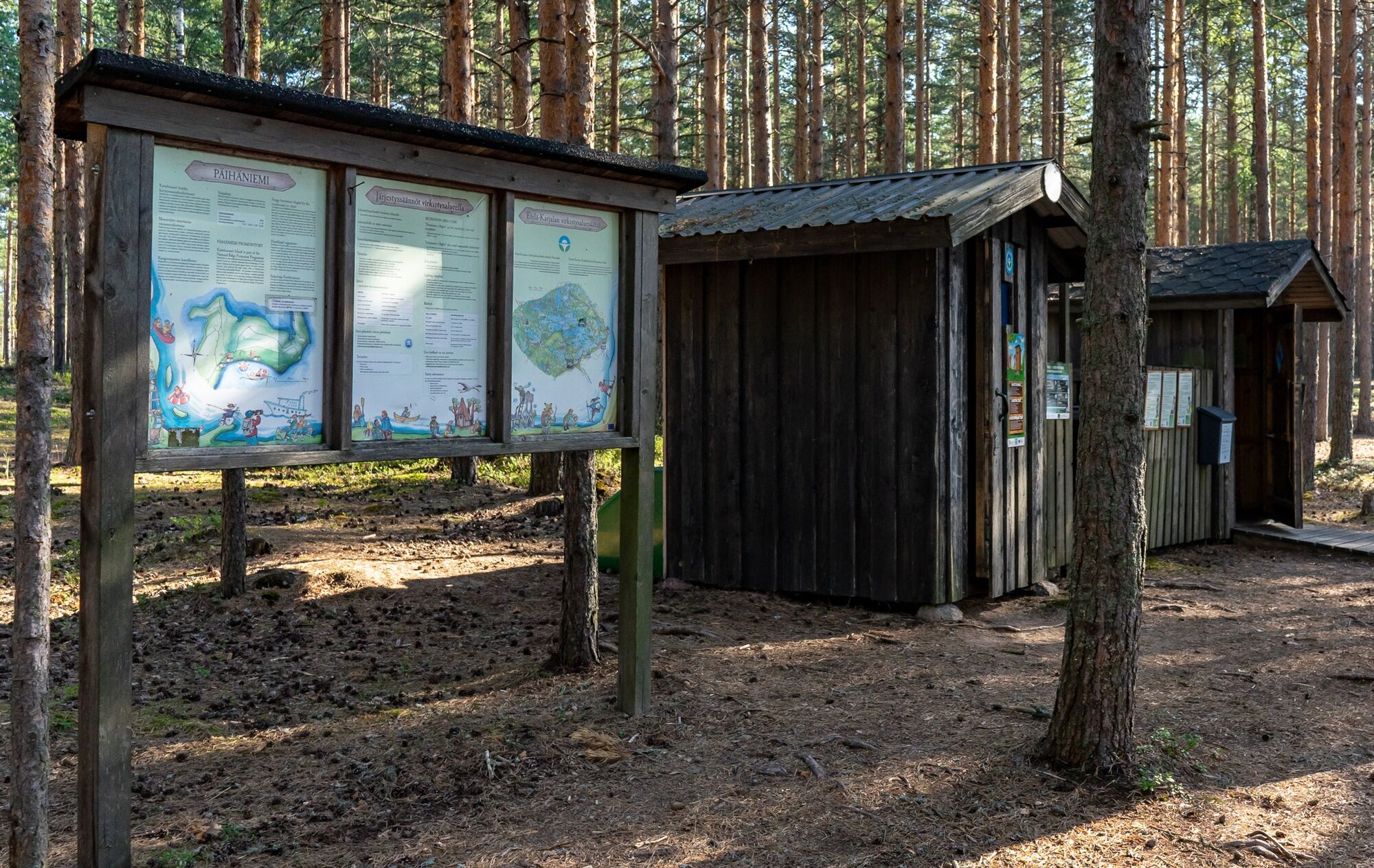
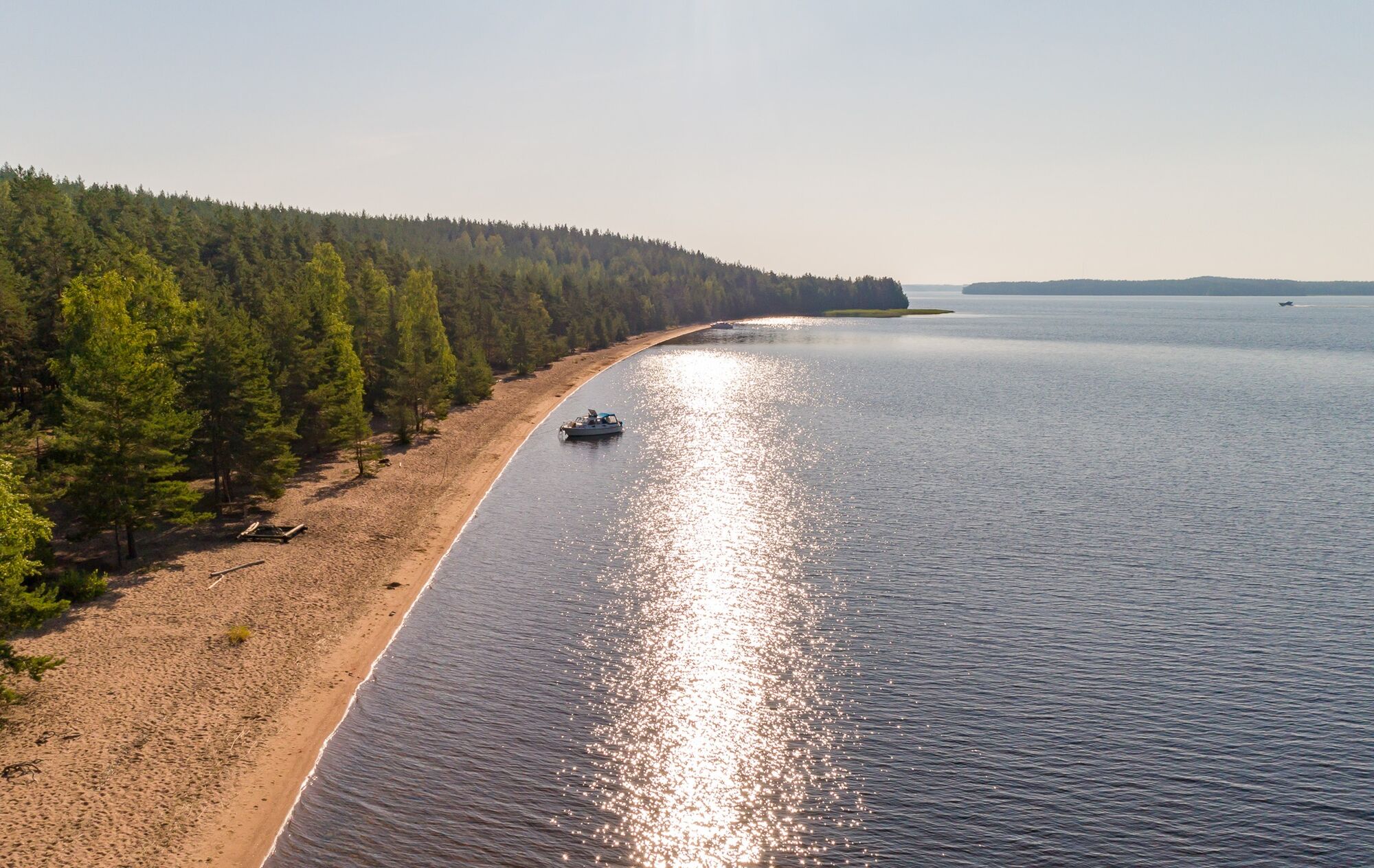
The paddling route from Lappeenranta to Imatra consists of varying landscapes and includes several sites managed by the South Karelia Recreational Area Foundation along the way. The route line is illustrative, and when paddling, final route choices should be made according to wind direction and strength. The route starting from Lappeenranta's Myllysaari heads through Sudensalmi to the magnificent sandy beach of Päihäniemi. From there, the journey continues toward Muukonsaari, where it is possible to rent storage buildings, a sauna, and a dining building. From Muukonsaari the route leads to the natural lagoon and hiking services of Satamosaari. From Satamosaari, the paddler continues towards Imatra and Lammassaari.

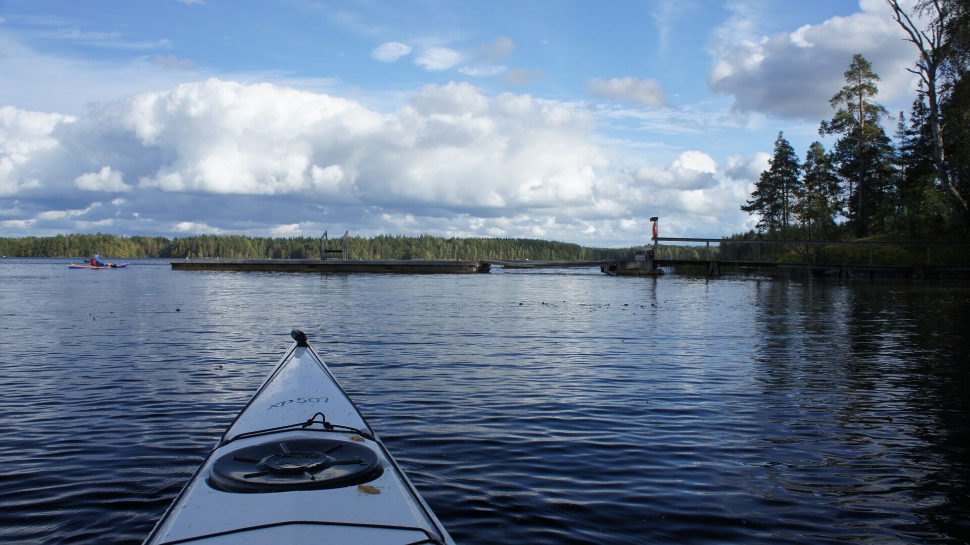
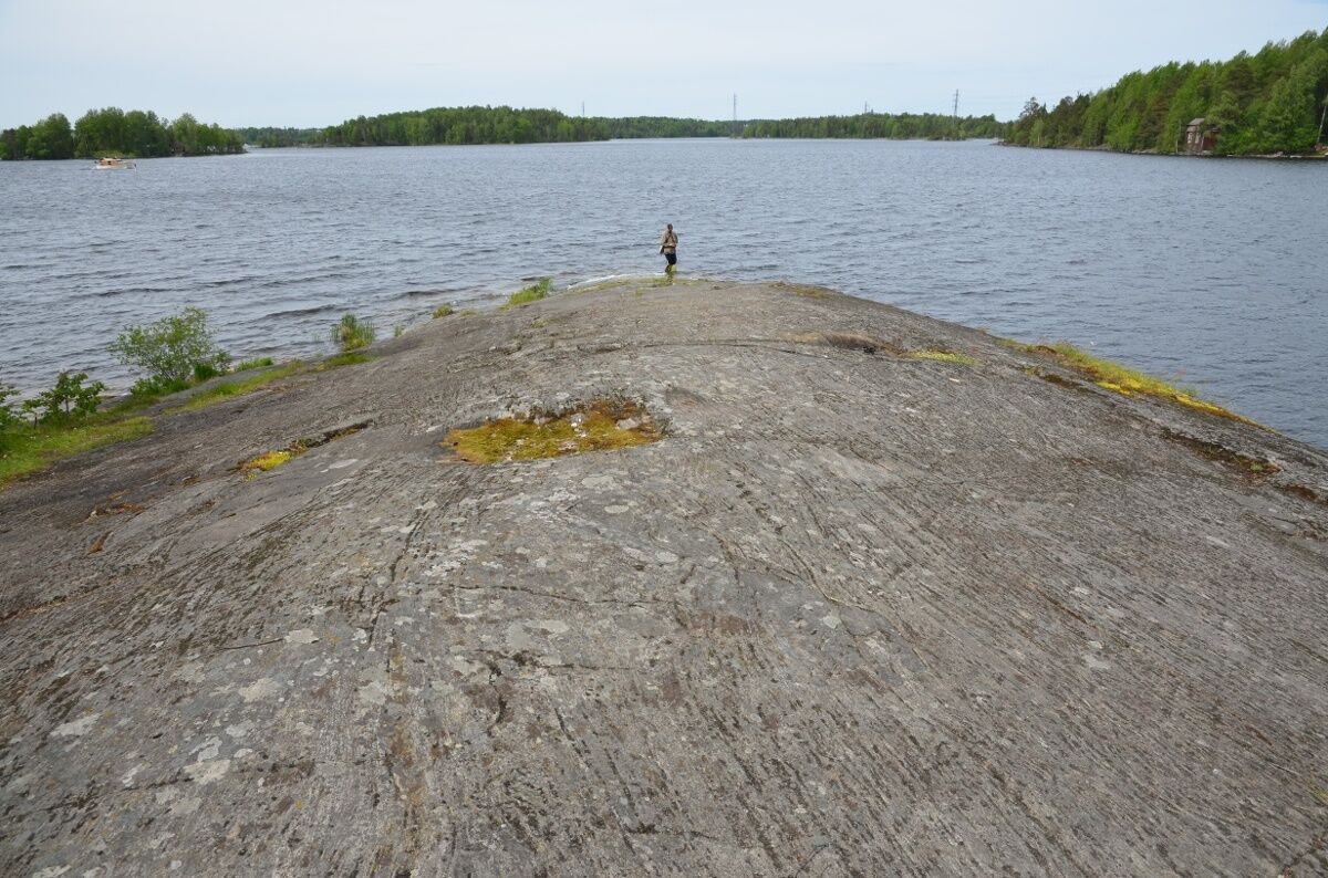
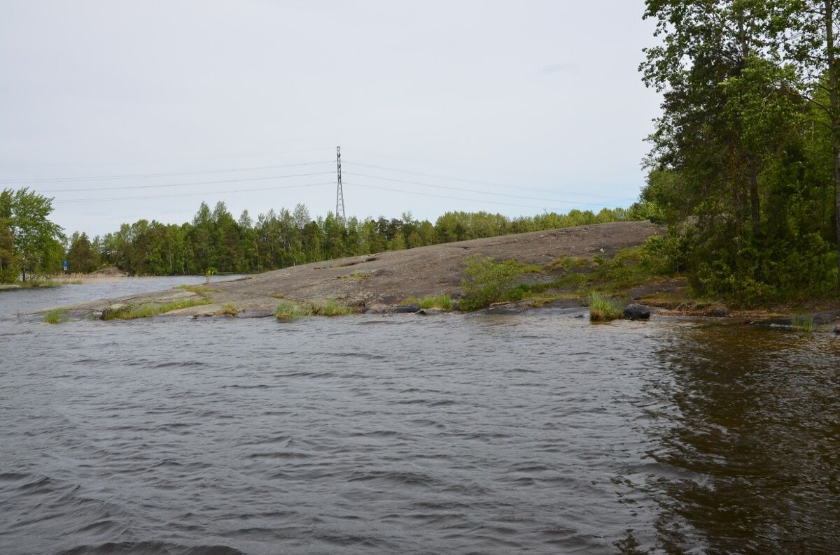
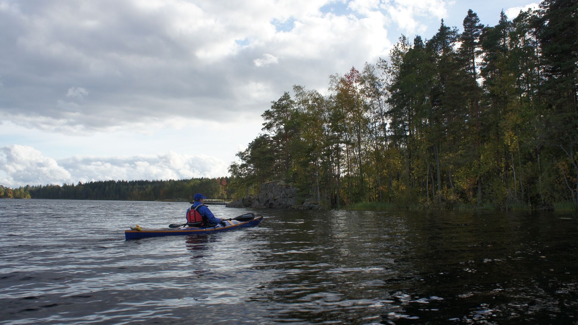
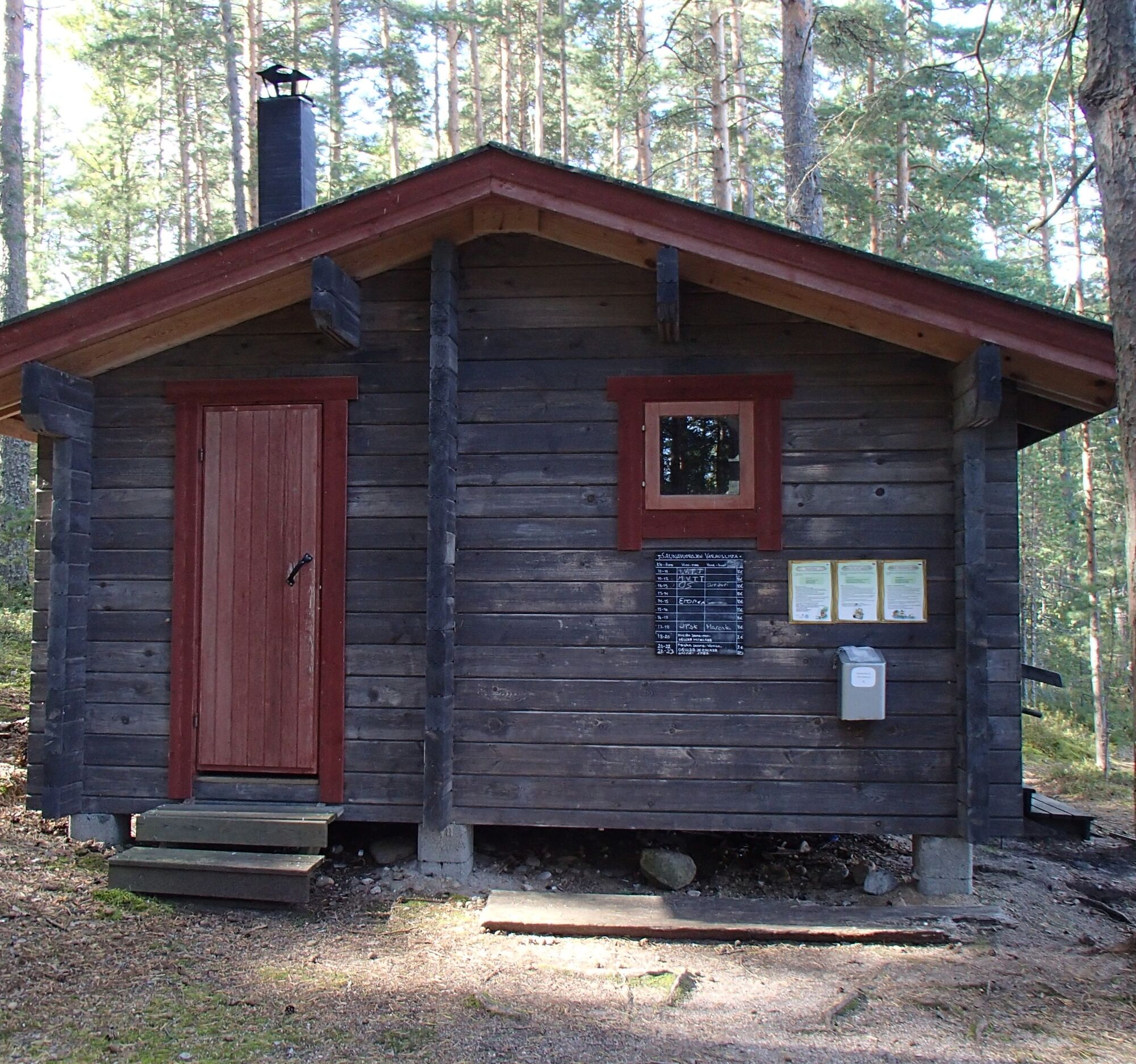
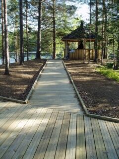
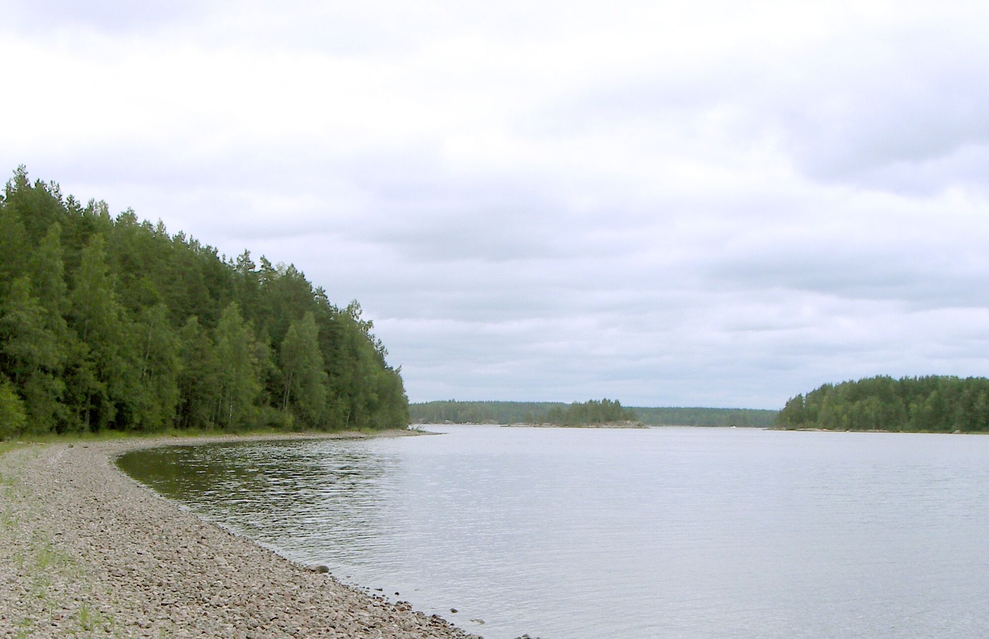
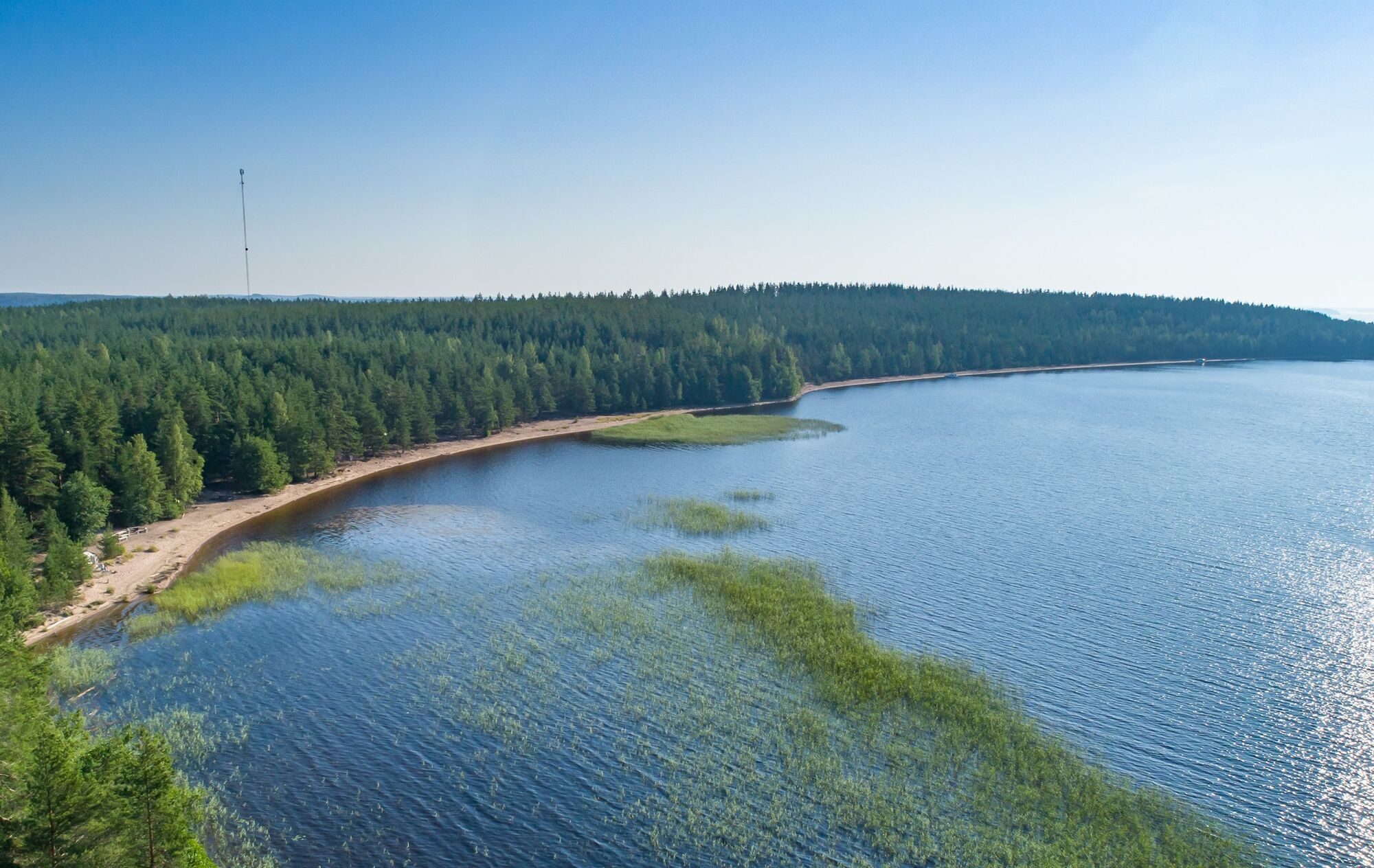

The paddling trip starts from Lappeenranta’s Myllysaari or the bay end of Kirkkoherranlahti and first heads between nearby Pappilanniemi and the small Akkosaari island in front of it. When passing Pappilanniemi, attention should be paid to the magnificent smooth cliffs of the cape, which are also a Saimaa Geopark site. On the surfaces of the rocks, you can see both glacial erosion marks and inclusions formed during the rock formation phase. After Pappilanniemi, the route heads toward Mikonsaari and under the bridge between Mikonsaari and Suuri Mustasaari to reach Niemisenselkä. On Niemisenselkä, paddle towards the small Pukkisaari, from where the direction is between Tulliniemi and Heinäsaari. Continue paddling north, and when reaching the northern tip of Lummesaari, take a direction east and pass under a bridge. Under the bridge, you arrive at the beautiful and narrow Sudensalmi, where a nature reserve lies on the east side. After the nature reserve, the landscape to the east opens to Viipuri Golf golf course.
With the golf course views behind, the route heads toward Puikkosaari and passes it on the north side. After this, paddle almost straight north, passing by Välisaari, Hautasaari, and Pakkarinsaari. Continue further north, passing Kissaluoto, Koirluoto, and Lehto-Paloluoto. Laitniemi is passed on the south side, and the direction taken northeast towards Mäntysaari. After Mäntysaari, paddle on Päihänniemi bay, where you can land on the magnificent sandy beach of Päihänniemi.
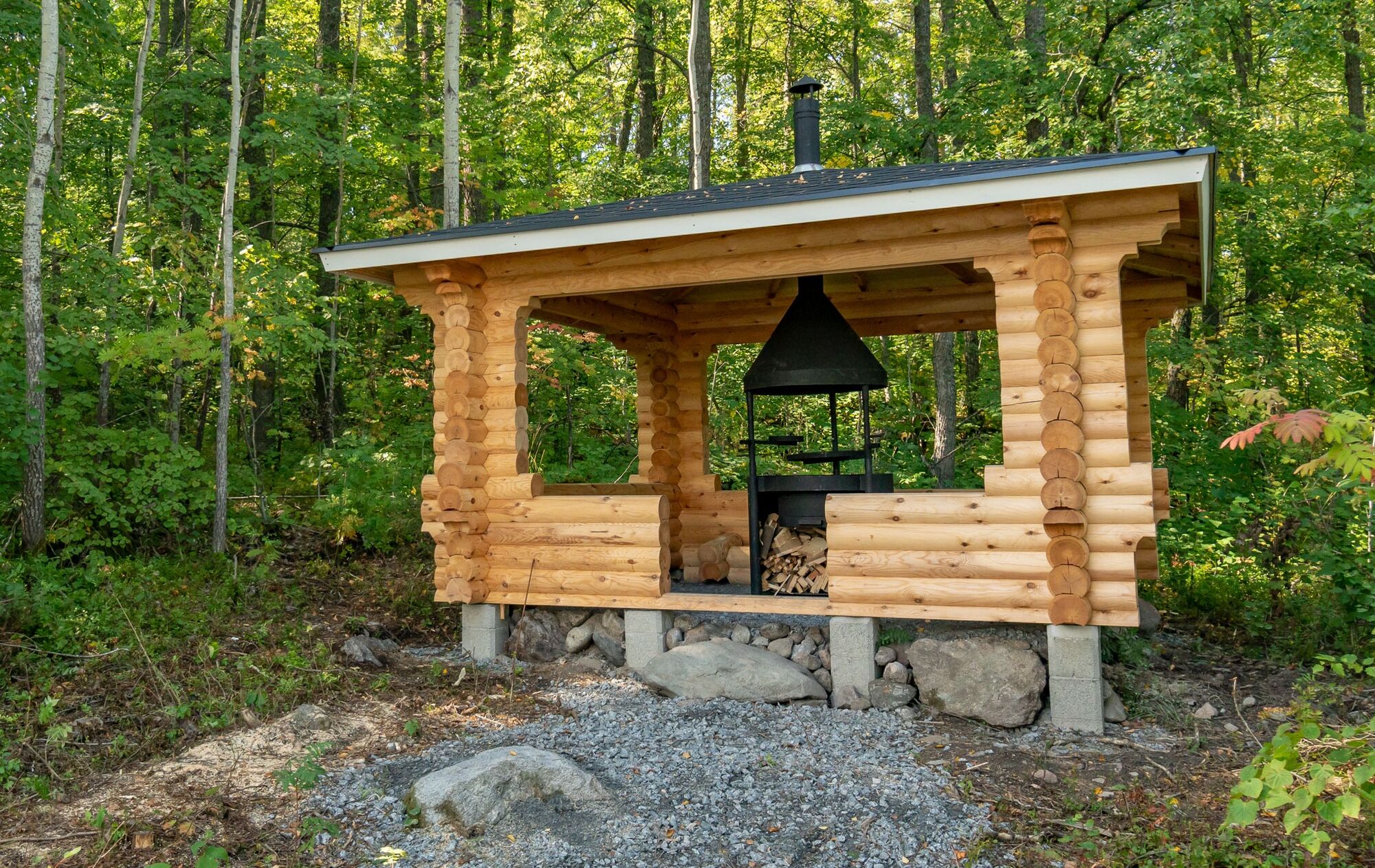
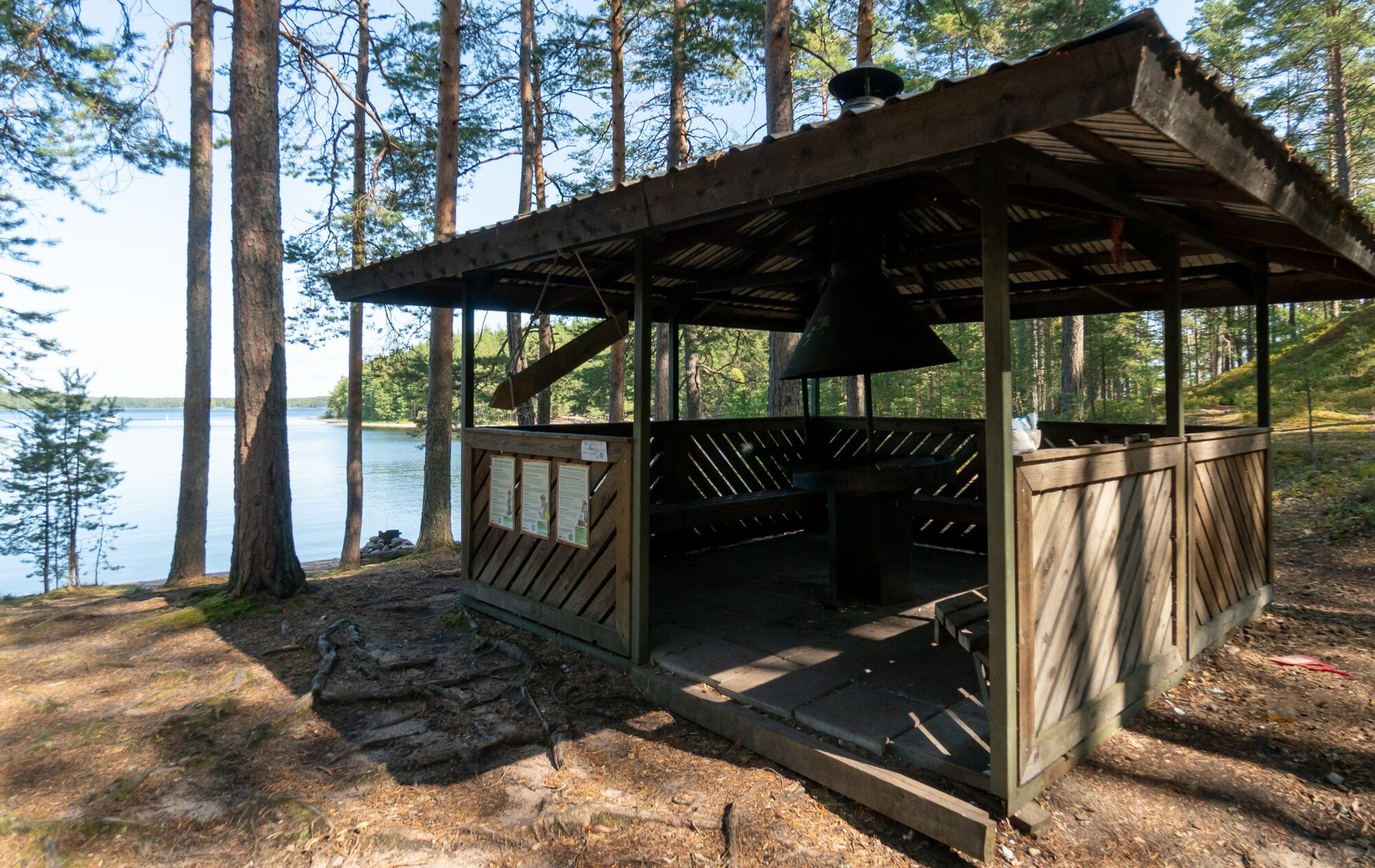
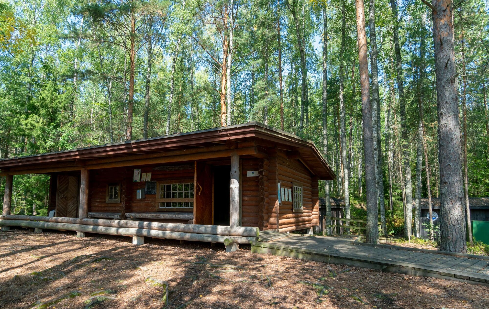
From Päihänniemi, head between Kätkytsaari and Suomensalo towards Muukonsaari. The route goes between the small Poikasaari and Muukonsaari, circling south of Muukonsaari through Muukonsalmi. After Muukonsalmi, follow the shore of Muukonsaari, and you can land at the Muukonsaari paddling pier, which includes a grill shelter. In Muukonsaari, it is also possible to stay overnight either with a tent or in a pre-booked storage cabin accommodation (TaigaSaimaa, reservations: 045 8636 024).
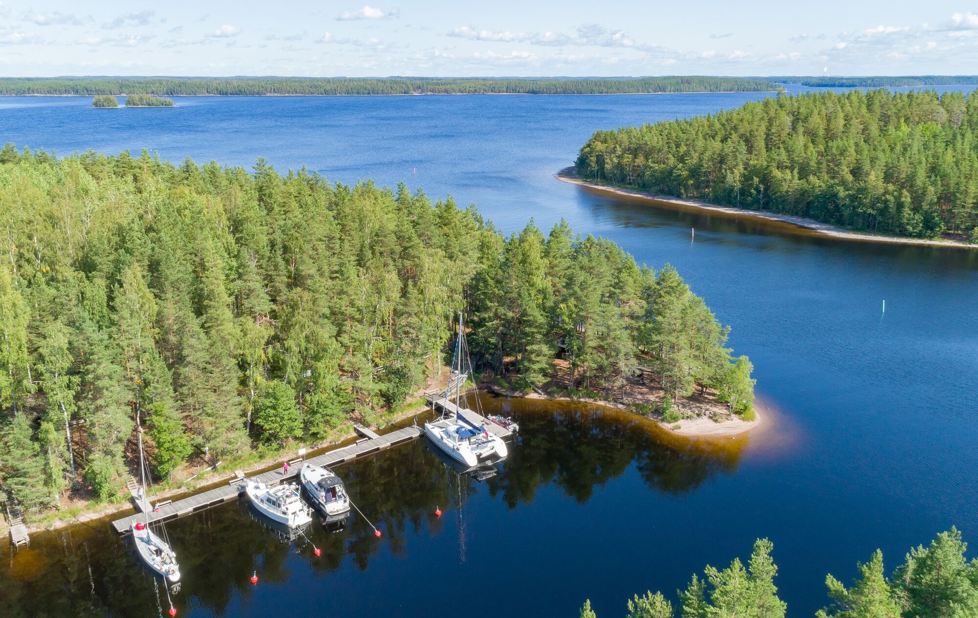
After Muukonsaari, continue past the tip of Arposenniemi towards the islands of Keski-Lyly and Ala-Lyly, between which the route leads. After the Lyly islands, you reach Satamosaari, where there is a trip harbor with services (including grill shelters and saunas). When leaving Satamosaari, cross Lyly Bay heading for Mullikoinniemi. There is an opportunity to land at Mullikoinniemi. The next stage is to pass Masteensaari on the north side and head from there towards Lammassaari and/or Ukonniemi. The route can end either at Lammassaari or at the Imatra Lapinkävijät canoe shed, where the route is marked as ending.
Da
Dress appropriately for the trip and wear sturdy footwear. It is recommended to also bring first aid equipment, rainwear, spare clothing, and enough drinks and snacks. Remember to wear a life jacket on the water.
It is safest to move in groups on land and water if you are not familiar with the terrain or water area.
Remember to wear a life jacket.
Before the trip, it is good to check weather forecasts.
In an emergency, call 112. Inform your location, what has happened, and listen to instructions.
Address: Myllysaarenpolku, 53100 Lappeenranta
Driving cars into Myllysaari family park area is allowed only during the winter months, approximately from mid-November to mid-April. At other times, the gate is closed. Holders of disabled parking permits can obtain the gate key from the sports department if needed.
Rowers and paddlers have the right to drive for maintenance to rowing and paddling buildings from mid-April to mid-November between 10:00 p.m. and 9:00 a.m.
Public transport does not reach all the way to the starting point at Myllysaari in Lappeenranta.
The nearest local transport stop is at the central hospital, about 1 km from Myllysaari.
Lappeenranta local transport timetables
You can arrive in Lappeenranta by train or bus.
There is plenty of parking available upon arrival at Myllysaari. A nearby sand field is also available for parking.
Priljubljeni izleti v okolici
-
The geological trail of Imatra Lammassaari island
svetlobaTematska pot 3.38 km -
Saimaa Canal lock route by bike, Lappeenranta
svetlobaKolesarjenje 25.4 km -
Pöyhiäniemi nature trail
srednjaTematska pot 2.97 km -
Ukonmäki nature trail, Lappeenranta
srednjaTematska pot 0.95 km -
Haukvuori route, Lappeenranta
srednjaPohodništvo v daljavo 8.08 km -
Lappeenranta-Imatra border cycling route
težkoKolesarjenje 102.7 km -
Päihäniemi nature trail
srednjaTematska pot 2.87 km -
Katralampi route, Lappeenranta
srednjaPohodništvo v daljavo 15.9 km -
Hirvisaari route, Lappeenranta
srednjaKajak / Kanu 24.0 km -
Saimaa Canal Path, Lappeenranta
svetlobaTematska pot 4.07 km
Pohodništvo in sledenje


Ne zamudite ponudb in navdiha za naslednje počitnice
Vaš e-poštni naslov je bil dodan na poštni seznam.


