






Winter hike Schwarzenbühl-Ottenleue
Stopnja težavnosti: 1
Schwarzenbühl is also accessible on weekends and during school holidays by the snow bus from Schwarzenburg. The path leads along the cross-country skiing trail up to the shelter. Now the mountains of the...
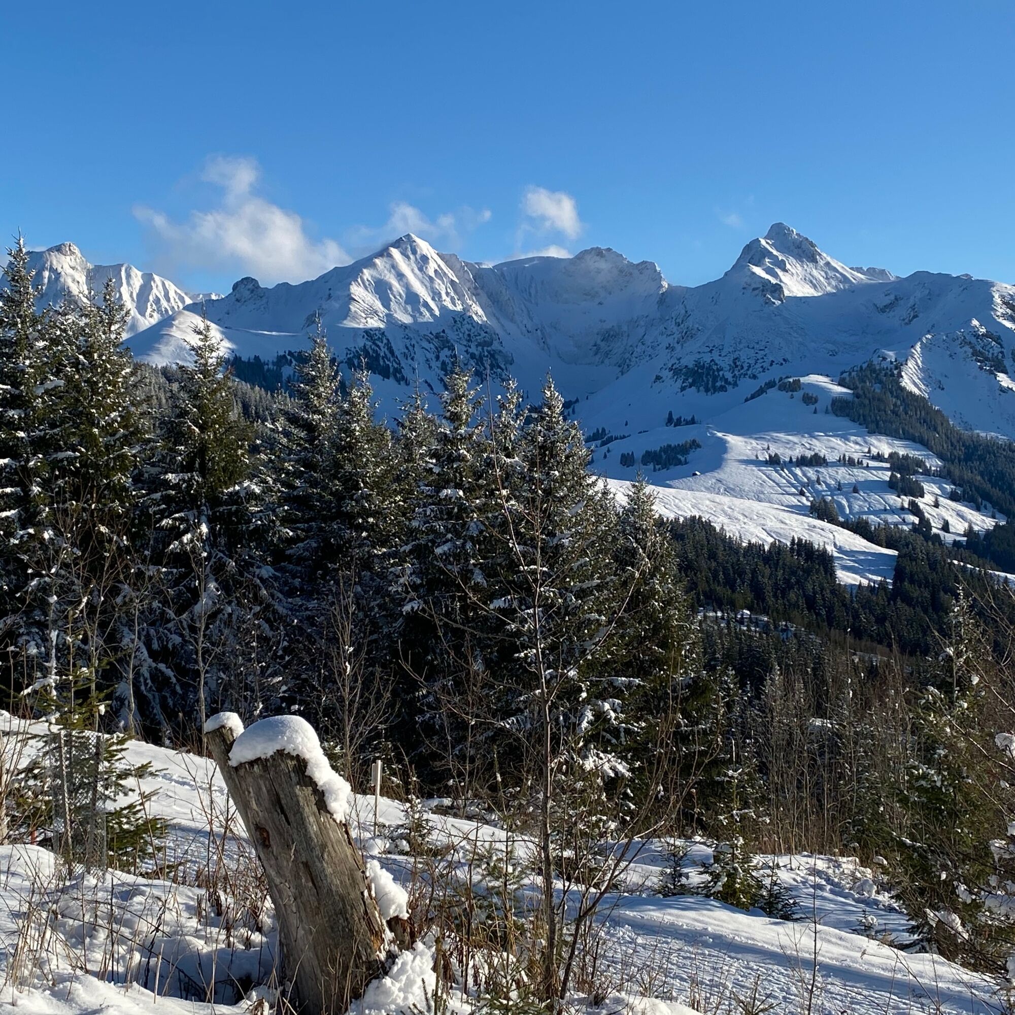
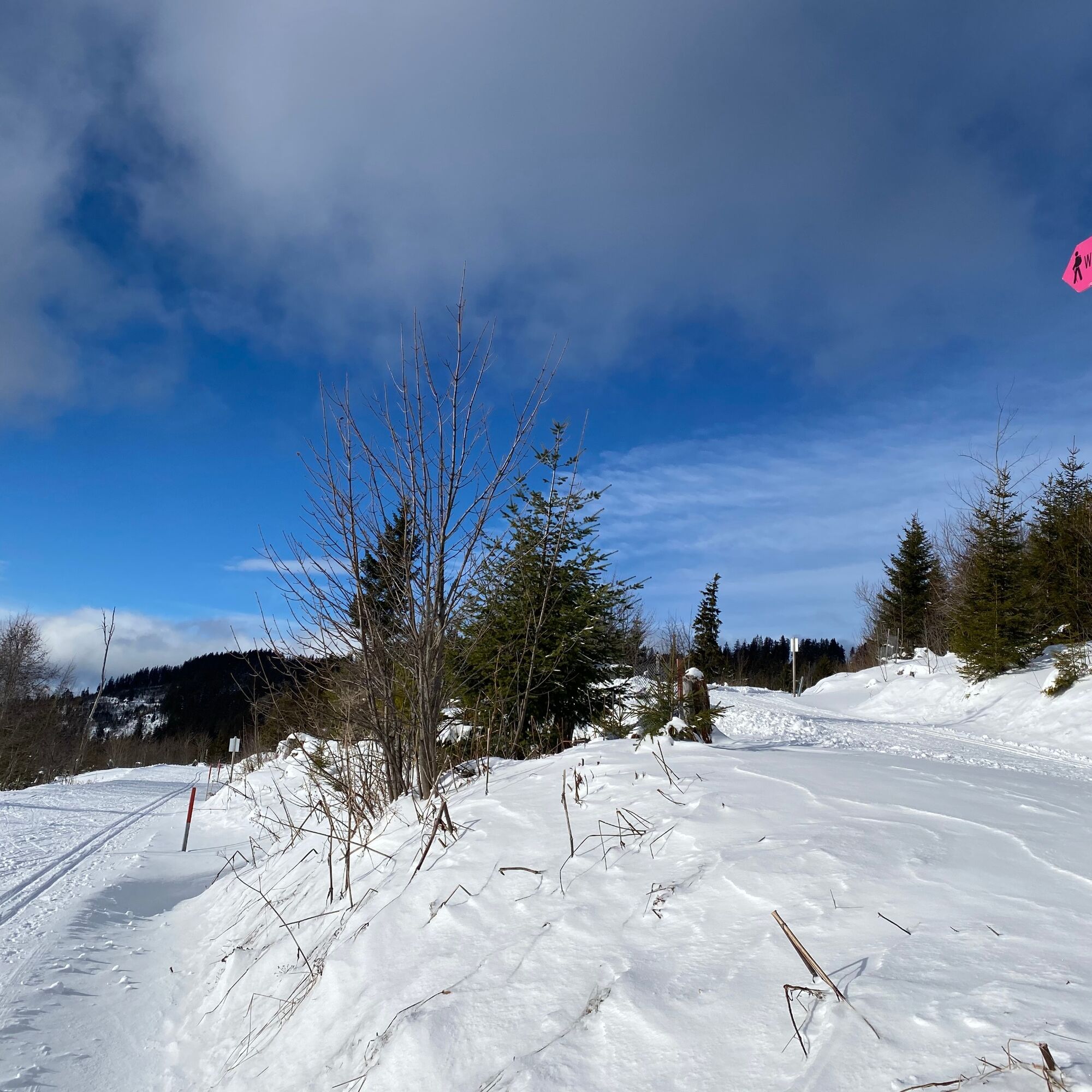
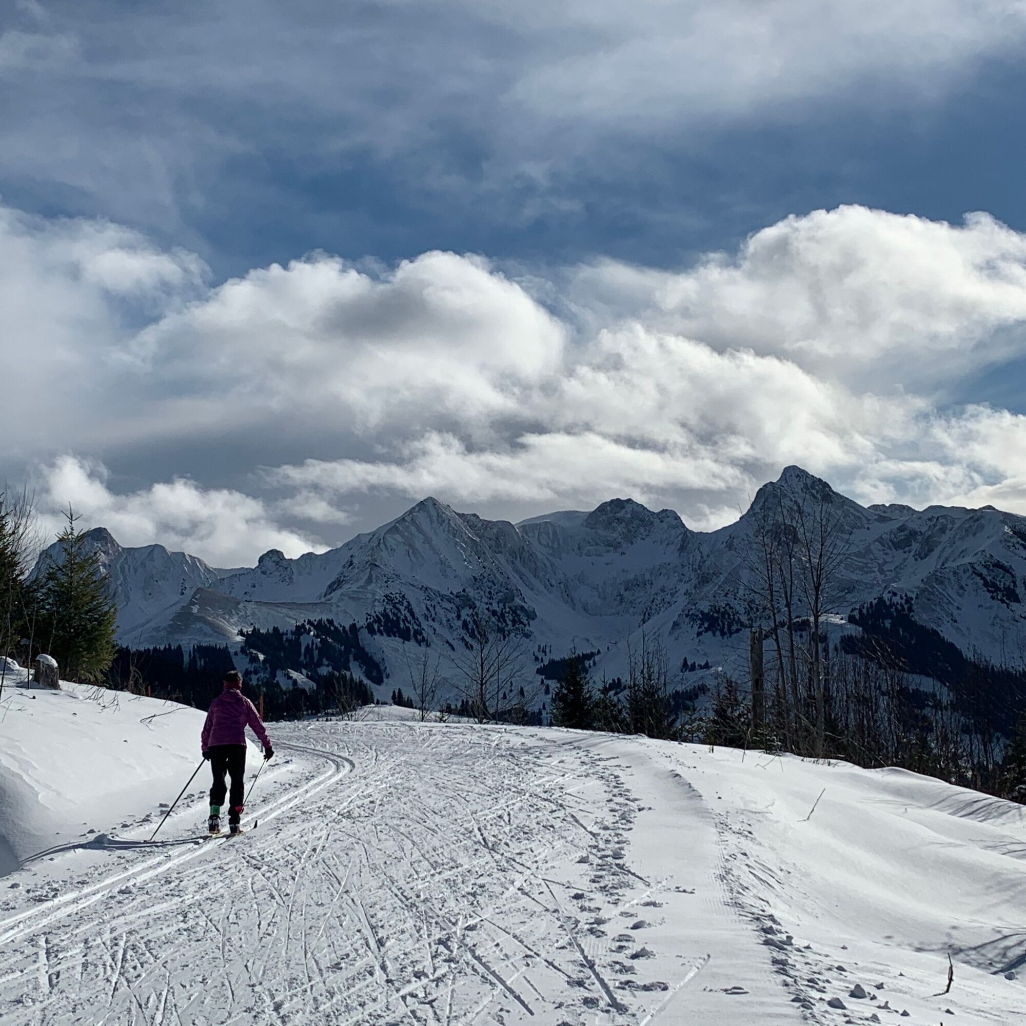
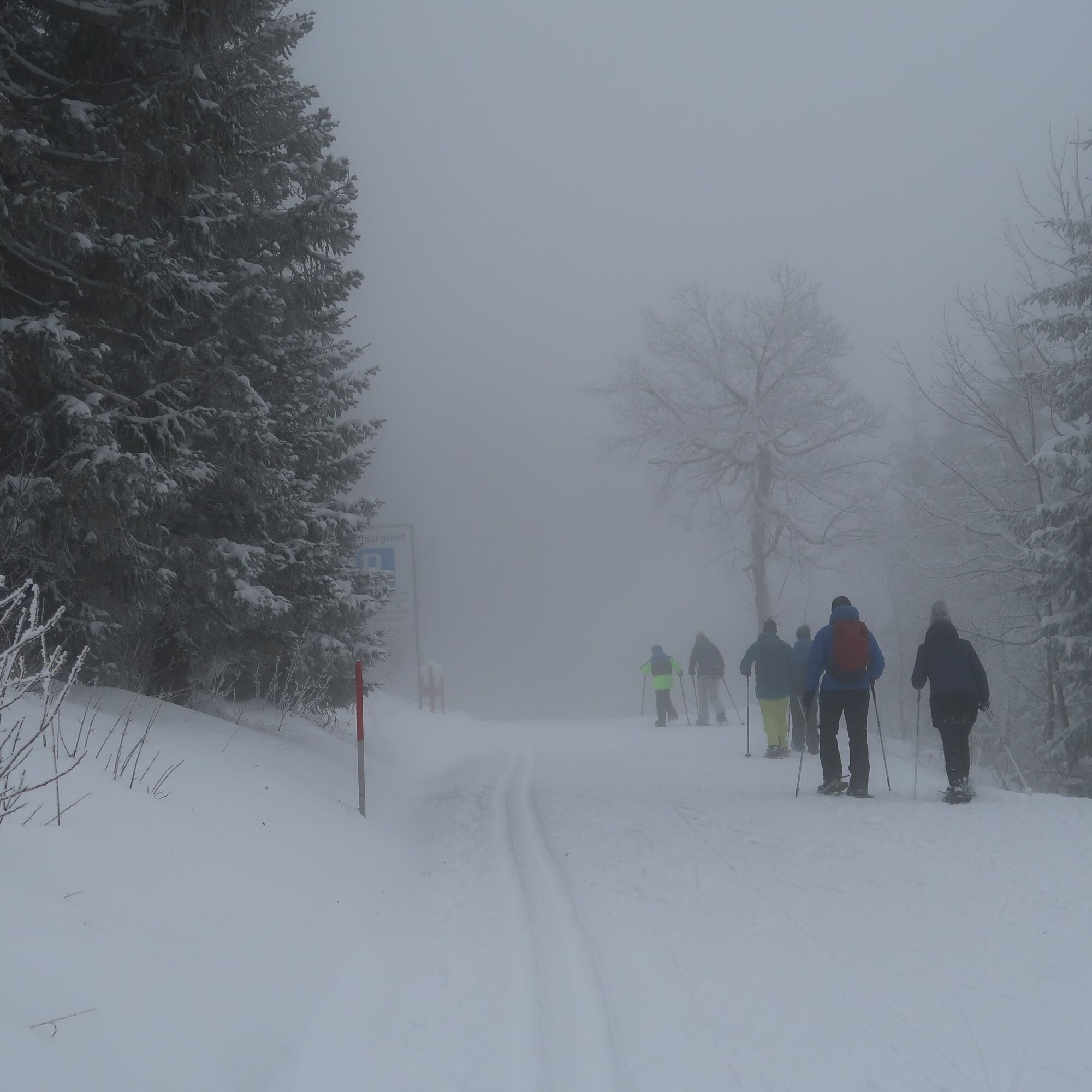
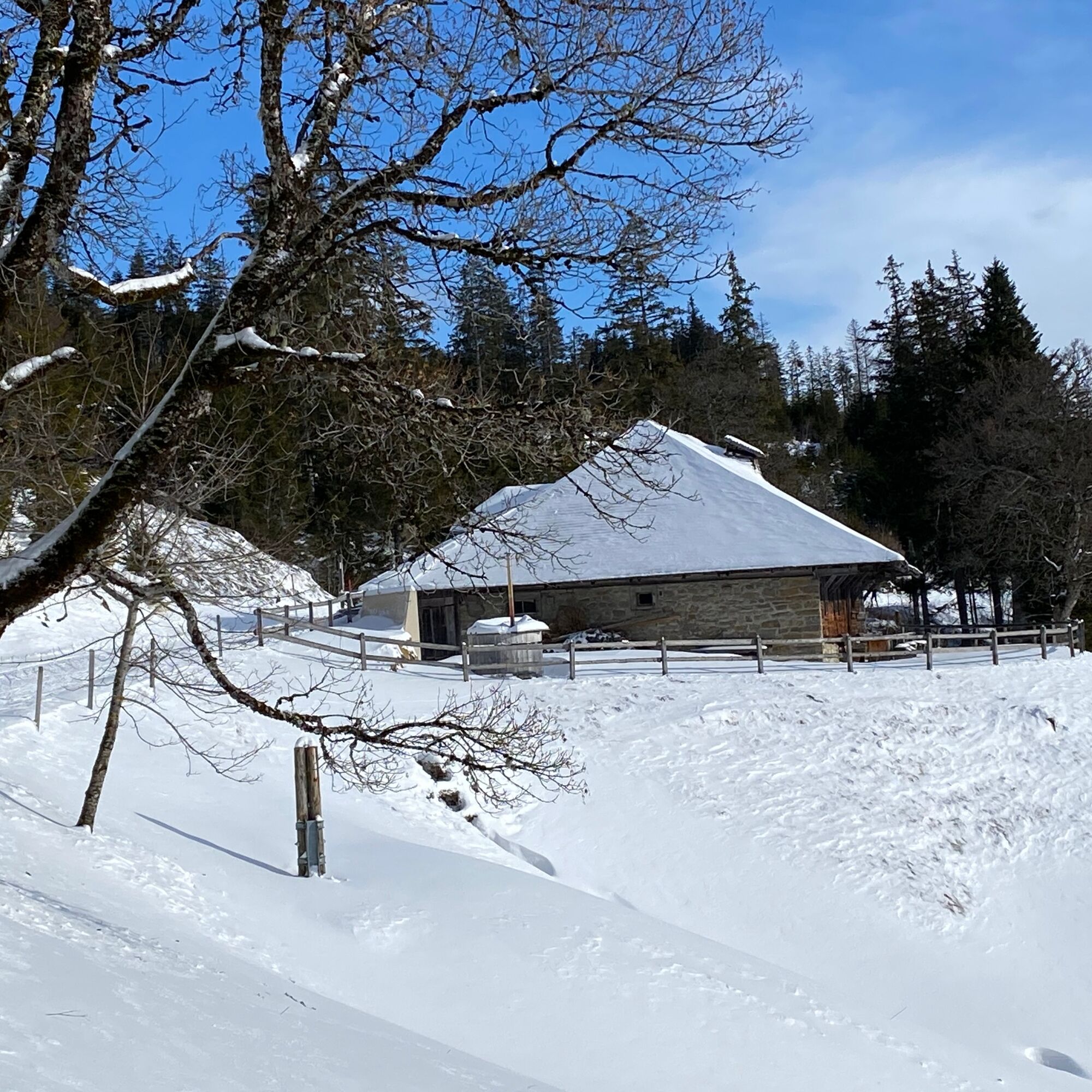
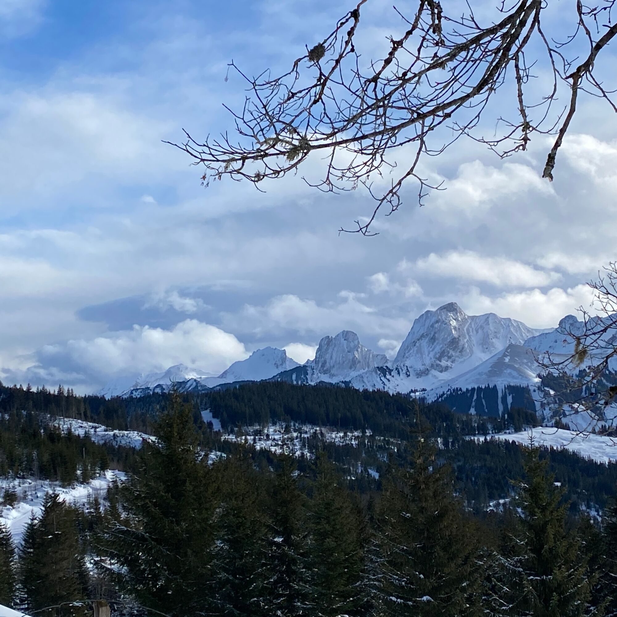
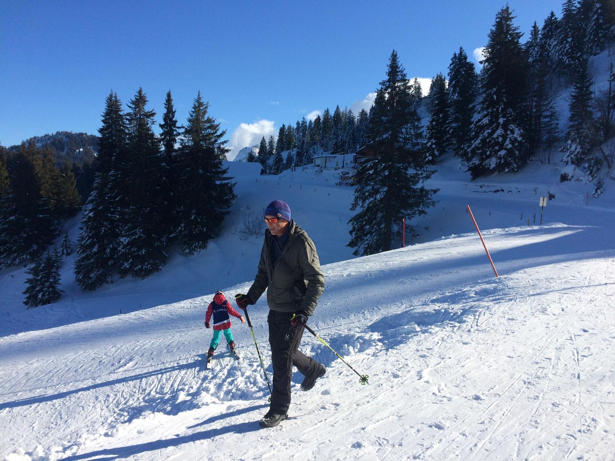
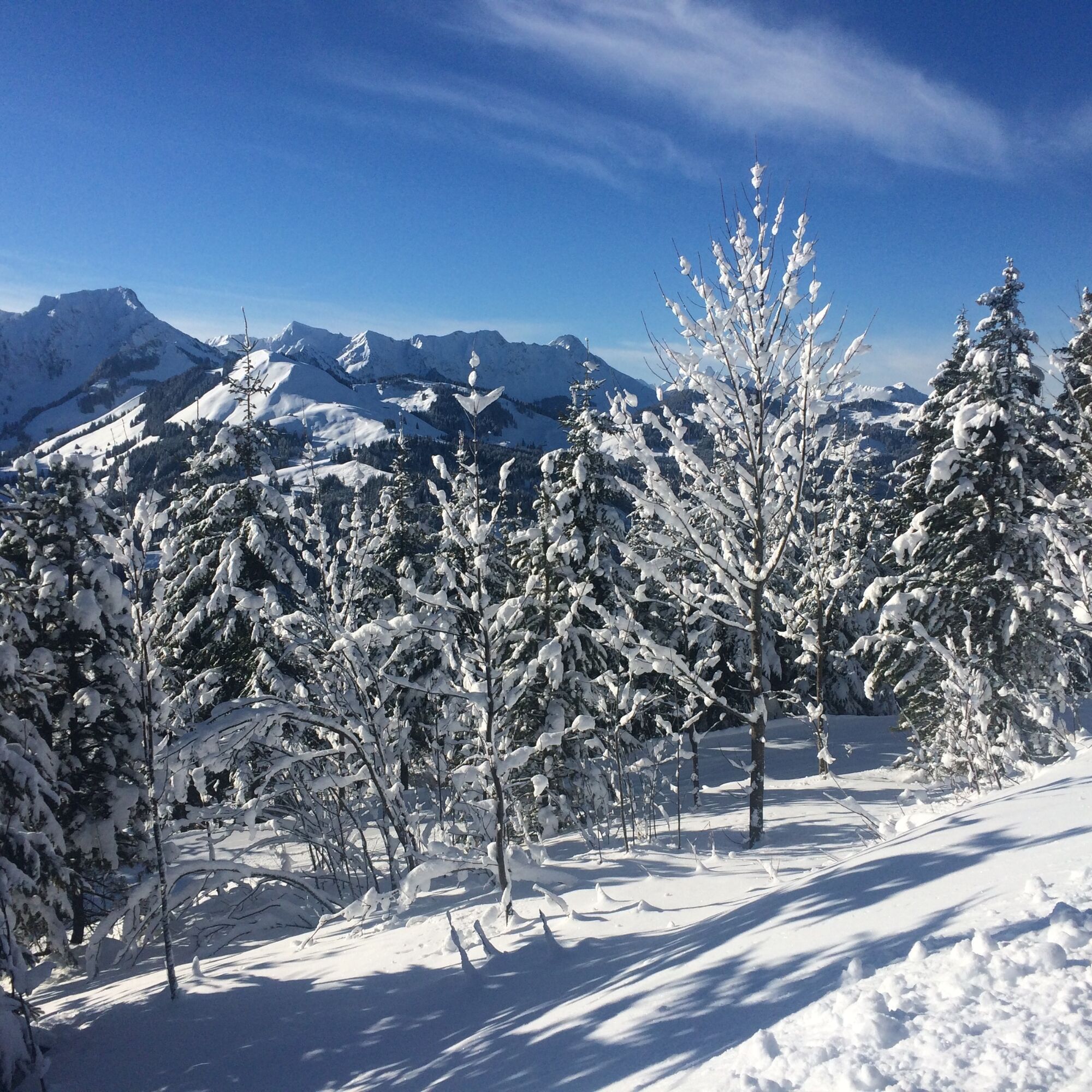
Schwarzenbühl is also accessible on weekends and during school holidays by the snow bus from Schwarzenburg. The path leads along the cross-country skiing trail up to the shelter. Now the mountains of the Gantrisch range are mostly visible on the left side of the path. On the snow-covered road, it goes towards Burst. Cross-country skiers glide elegantly past. Cross-country skiers pay for the grooming service and rely on carefully prepared trails. As a hiker, consideration should be given to cross-country skiers. The skillfully shingled Burst hut is now privately owned. Previously, it was rented out by the state as a holiday camp.
Soon you reach the one-story holiday settlement Ottenleuebad. With enough snow, there is even a small ski lift in operation there. Ottenleue would also be a possible starting point for the winter hiking trail but is only accessible by private car. At the end of the 19th century, the bath with its iron-rich spring was recommended as a climate and spa resort. The location is still perfect today: sunny, with magnificent views of the Gantrisch range and the Fribourg Alps. On the same winter hiking trail along the cross-country track, it goes to the shelter and then back into the Selital valley.

Da
Da
Besides slip-resistant hiking boots, no equipment is needed.
Rüschegg Schwarzenbühl, Kurhaus SBB Timetable
Arrival
1
Pridobite vpogled Vedno v živo na mestu z več kot 9.500 spletnimi kamerami. bergfex Kot uporabnik Pro si lahko zdaj ogledate ustrezne spletne kamere za številne izlete v aplikaciji izleti iz. Tako si lahko neposredno ogledate trenutne razmere. Priljubljeni izleti v okolici
- 4,6
Gantrisch Summit Hike, 2176 m elevation
srednjaPohodništvo 9,13 km - 4,8
Wasserscheide - Gantrisch Seeli
svetlobaPohodništvo 9,33 km - 4,0
High-altitude hike Gurnigel - Stockhorn
srednjaPohodništvo 11,2 km - 3,6
Breccaschlund Panorama Trail (Switzerland Mobility 267)
srednjaPohodništvo 12,9 km - 5,0
Lake Schwarzsee circular route (SwitzerlandMobility 787)
svetlobaZimsko pohodništvo 4,10 km - 4,7
Summit hike Ochsen, 2188 m above sea level
srednjaPohodništvo 7,94 km - 4,7
Schwarzsee-Rundgang Häxewääg
svetlobaTematska pot 4,10 km Patraflon & Schopfenspitz
srednjaPohodništvo 15,1 kmSchwarzsee - Patraflon - Pointe de Balachaux - Schopfenspitz - Combi - Stierenberg - Schwarzsee
srednjaPohodništvo 14,8 kmRiggisalp-Brecca-Schwarzsee Gypsera
srednjaPohodništvo 10,1 km
Pohodništvo in sledenje


Ne zamudite ponudb in navdiha za naslednje počitnice
Vaš e-poštni naslov je bil dodan na poštni seznam.





