







Summit hike Ochsen, 2188 m above sea level

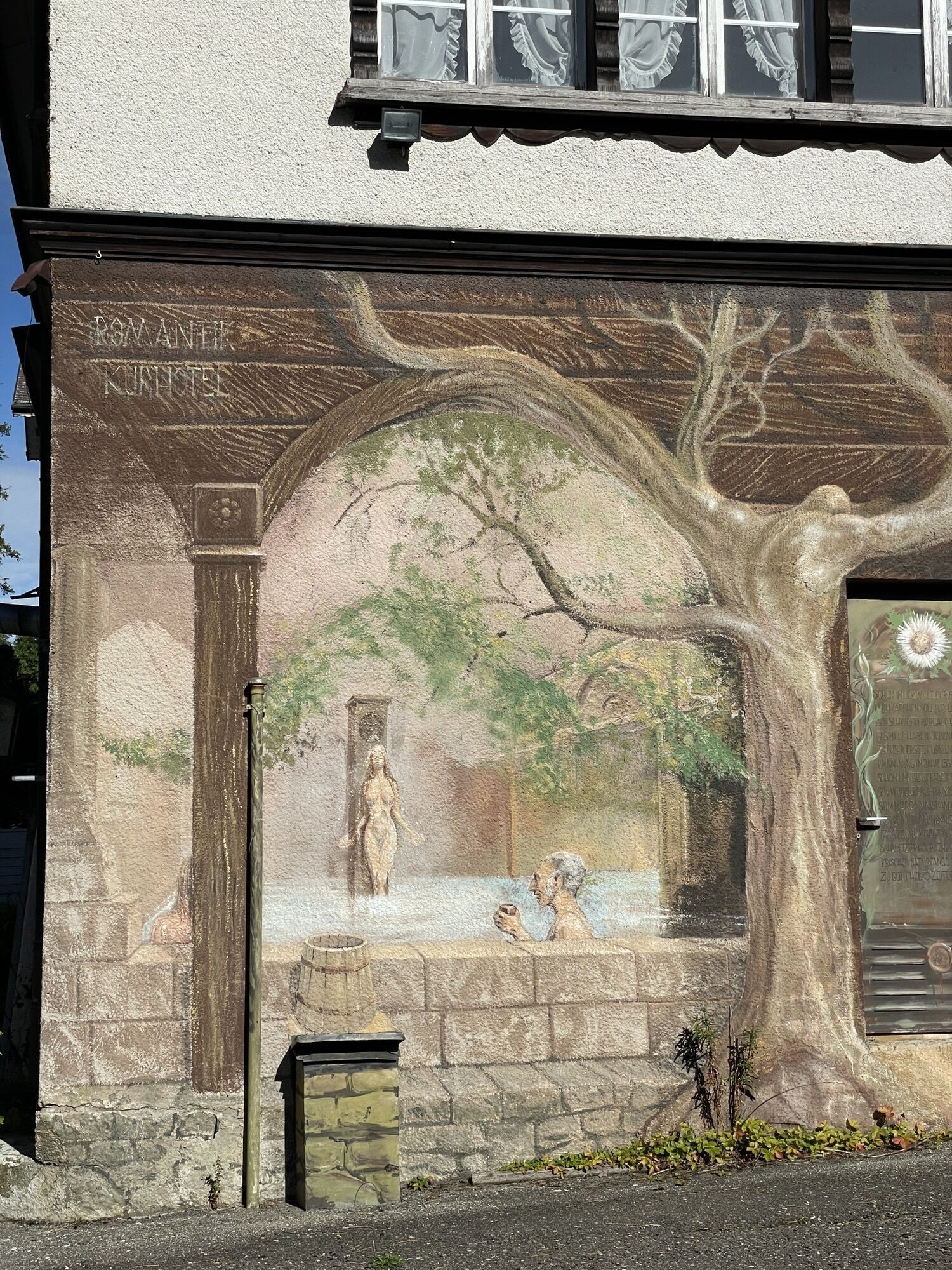
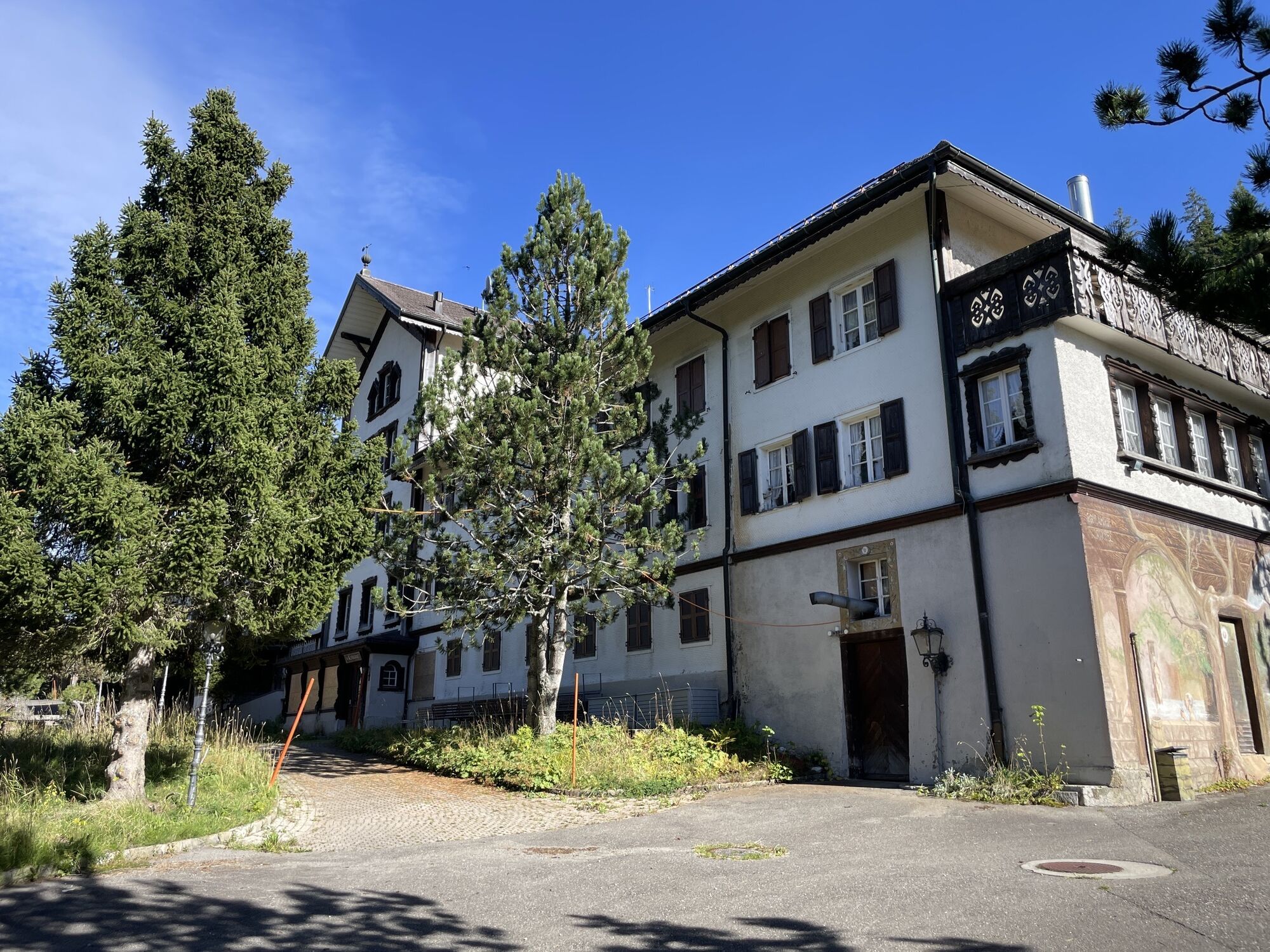
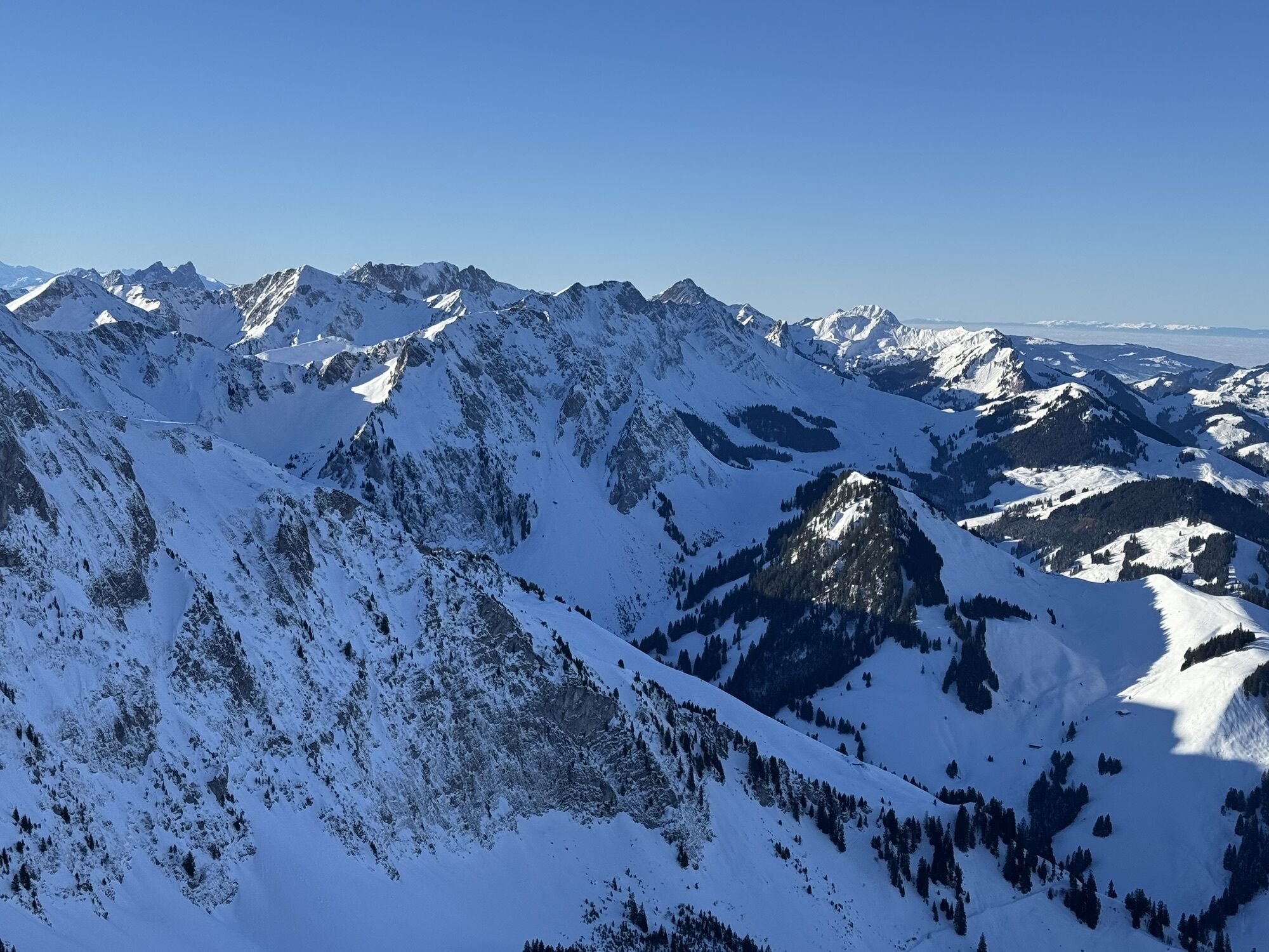
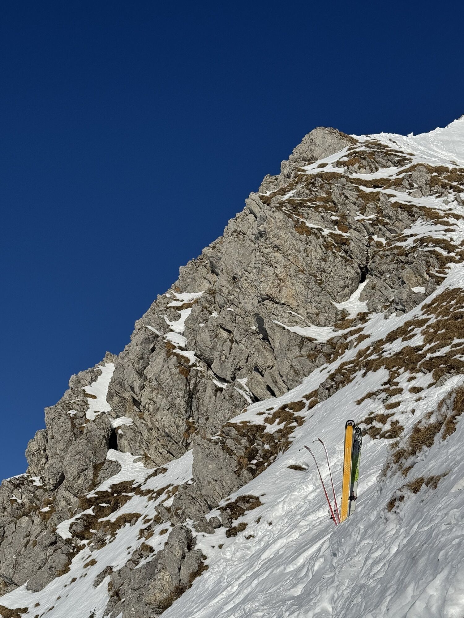
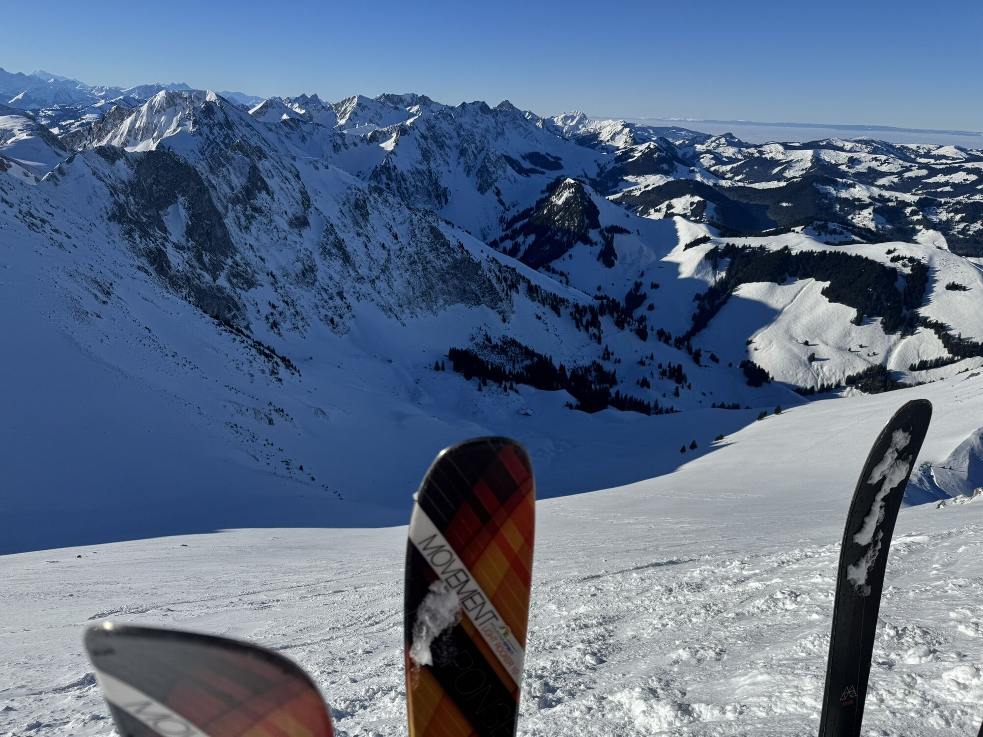
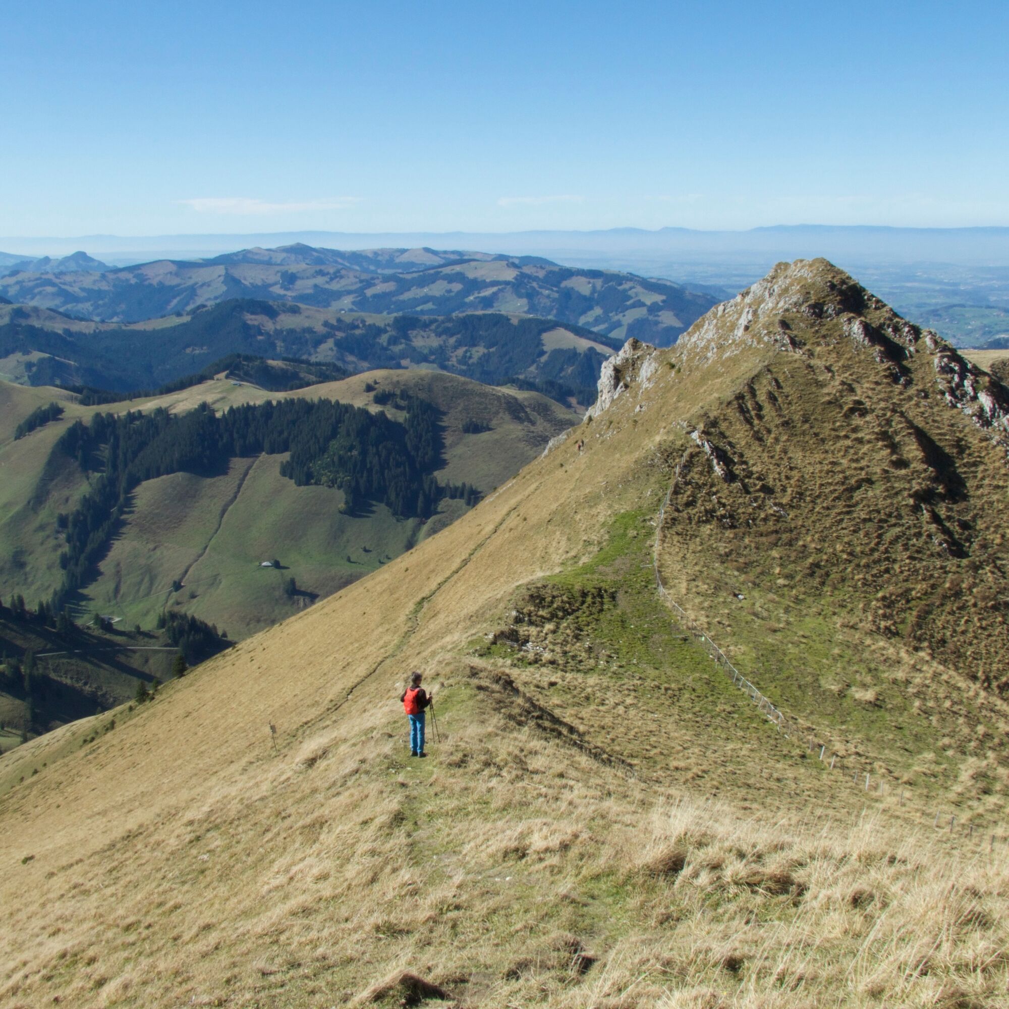
Passing the disused sulfur spring, you ascend to the Lauigrat, which you follow up to the saddle after Huerlisboden. The mountain path crosses the southwest flank towards Alpiglegalm. The view also opens...
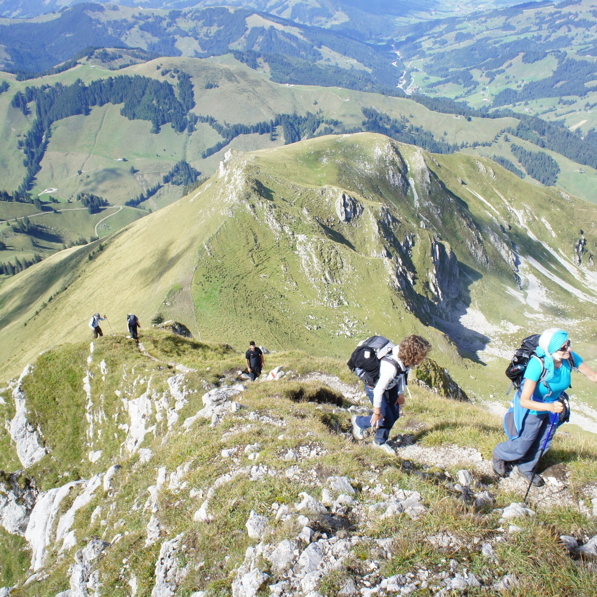
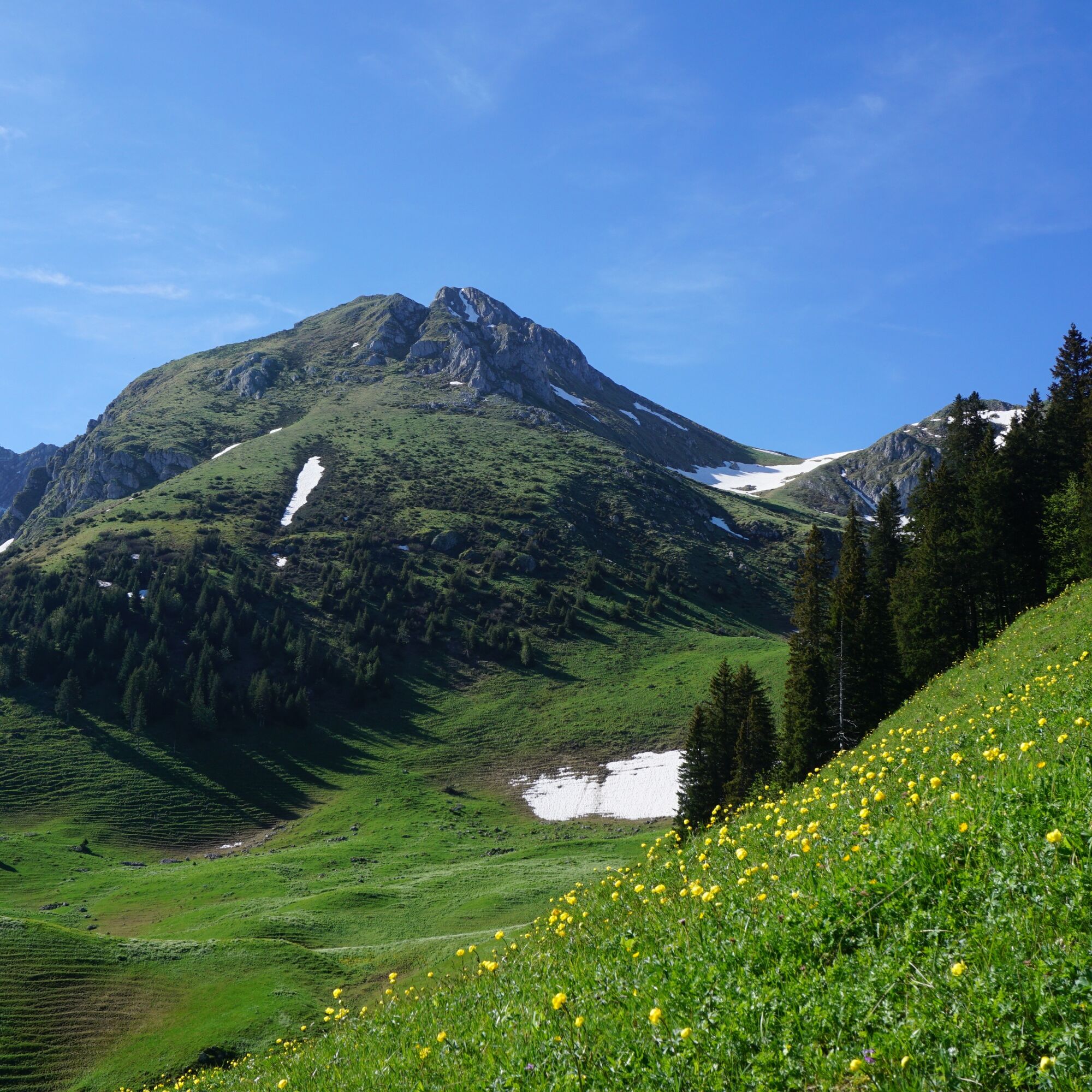
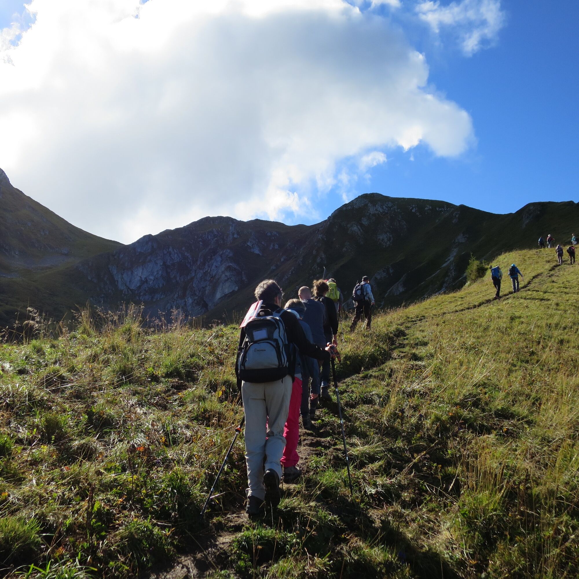
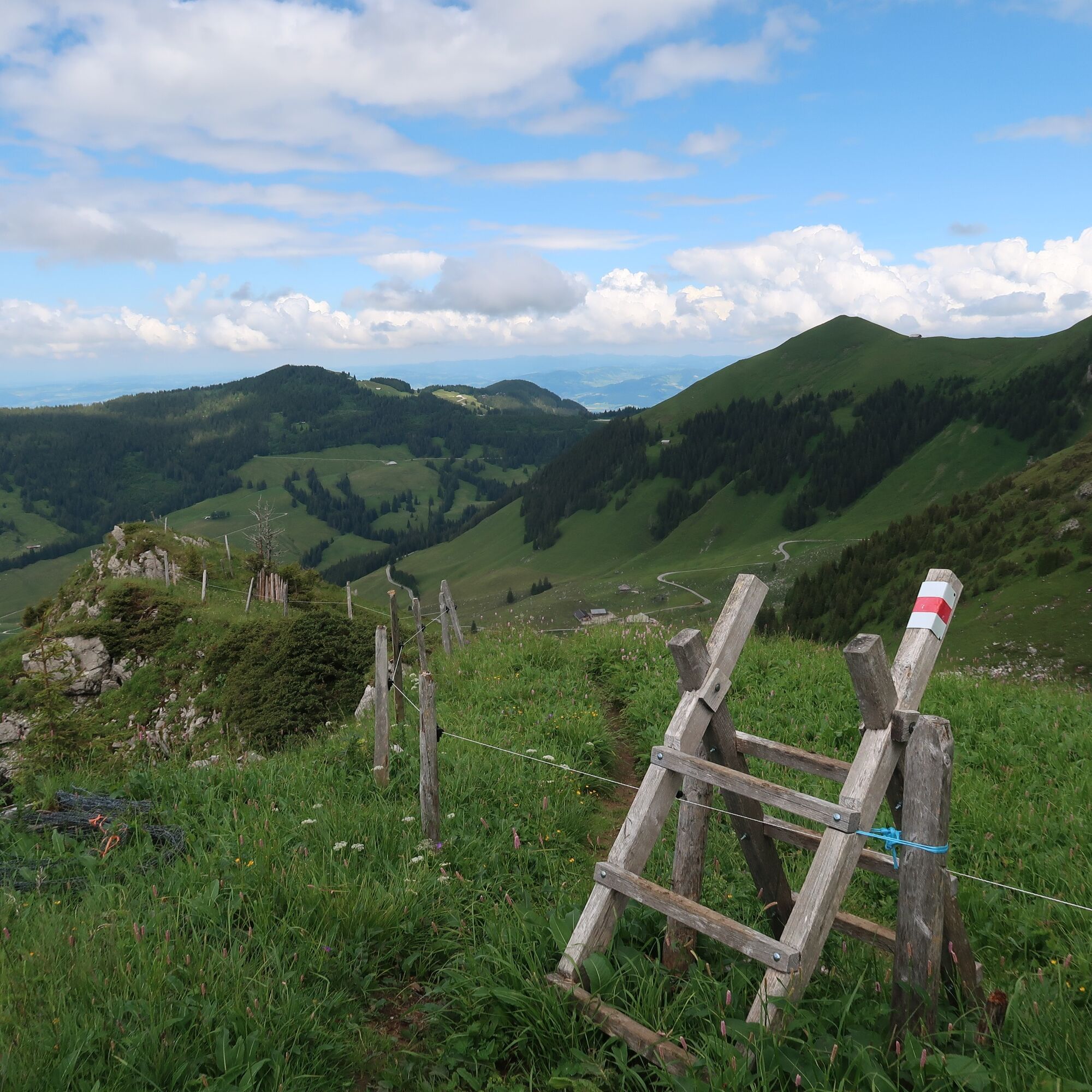
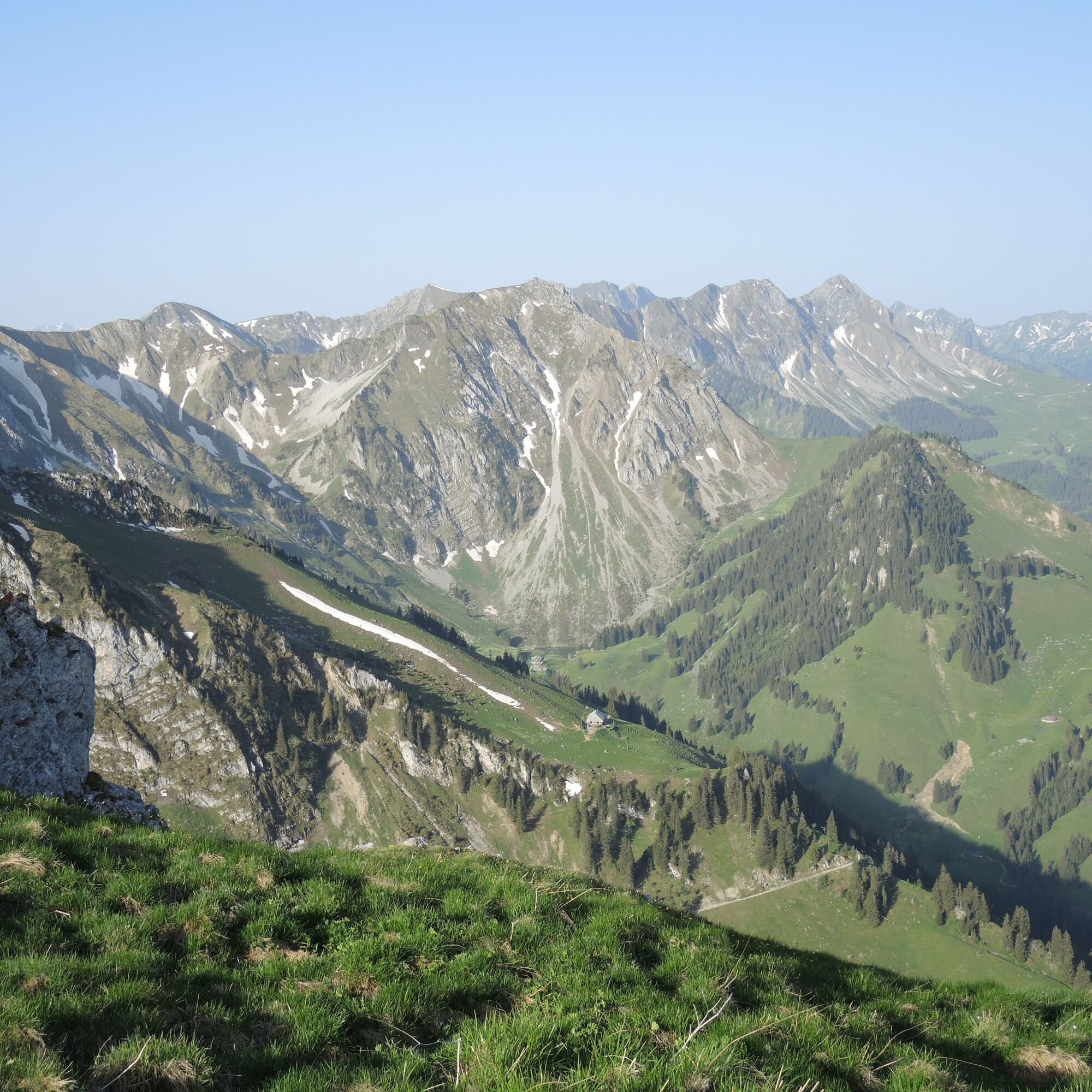
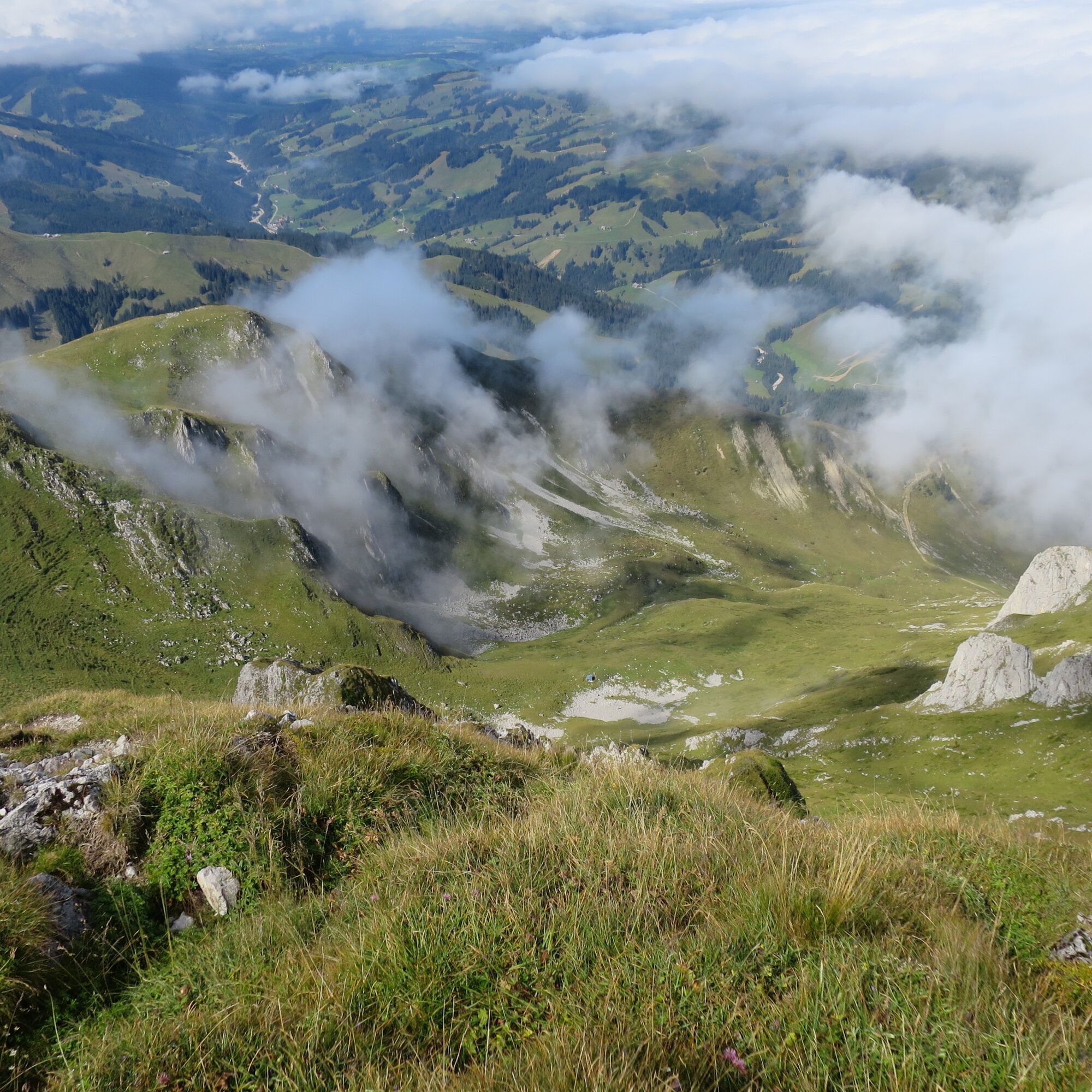
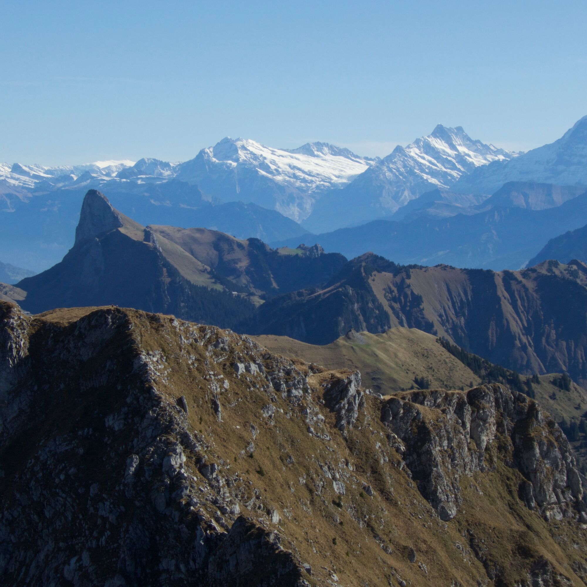
Passing the disused sulfur spring, you ascend to the Lauigrat, which you follow up to the saddle after Huerlisboden. The mountain path crosses the southwest flank towards Alpiglegalm. The view also opens up to the Oberland mountains. Via the south ridge, you finally reach the summit of Ochsen, which is quite exposed. The highest point of the Gantrisch Nature Park offers a magnificent panoramic view of the Gantrisch chain from Stockhorn to the Fribourg Alps and, of course, out onto the Central Plateau and towards the Oberland. With good weather, even Mont Blanc can be spotted. The descent takes place via the same route to the Schwefelbergbad Post bus station.


Da
Da
Weather-appropriate hiking equipment
Route with Switzerland Mobility


Spletne kamere s turneje




Priljubljeni izleti v okolici
-
4.6
Gantrisch Summit Hike, 2176 m elevation
srednjaPohodništvo 9.13 km -
4.5
Wasserscheide - Gantrisch Seeli
svetlobaPohodništvo 9.33 km -
4.3
High-altitude hike Gurnigel - Stockhorn
srednjaPohodništvo 11.2 km -
3.7
Breccaschlund Panorama Trail (Switzerland Mobility 267)
srednjaPohodništvo 12.9 km -
5.0
Schwarzsee Circular Route (SchweizMobil 787)
svetlobaZimsko pohodništvo 4.10 km -
5.0
Oberstockenalp
svetlobaPohodništvo 6.26 km -
5.0
Riggisalp-Brecca-Schwarzsee Gypsera
srednjaPohodništvo 10.1 km -
4.7
Schwarzsee circular route Häxewääg
svetlobaTematska pot 4.10 km -
4.8
Alpine Panorama Route Stage 20 (SchweizMobil 3)
srednjaPohodništvo 12.2 km -
5.0
Jaunpass
svetlobaSnežni čevlji 7.92 km

Pohodništvo in sledenje


Ne zamudite ponudb in navdiha za naslednje počitnice
Vaš e-poštni naslov je bil dodan na poštni seznam.





